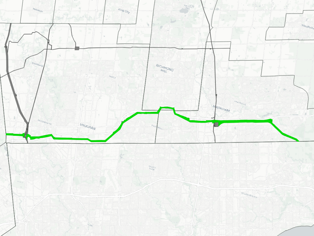
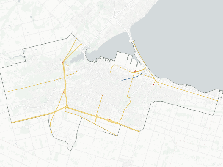
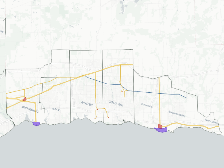
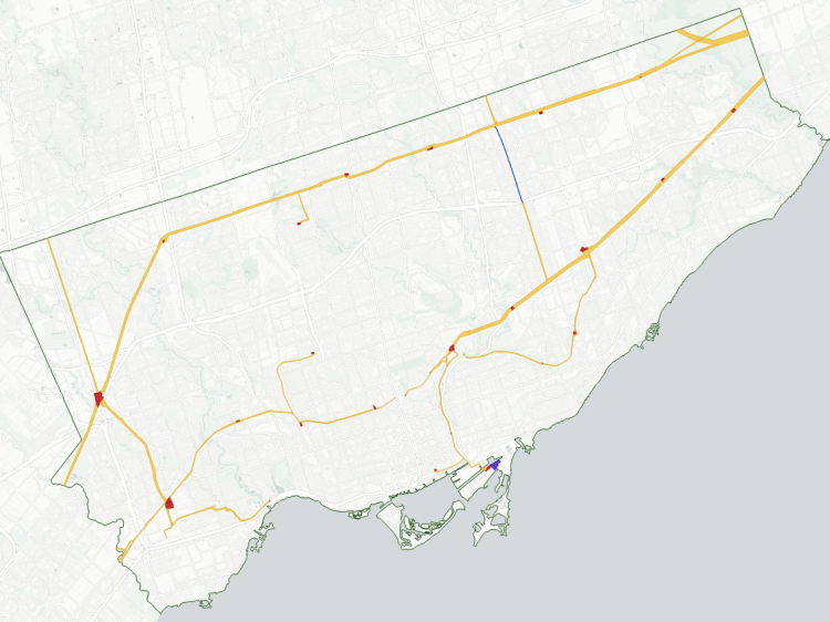
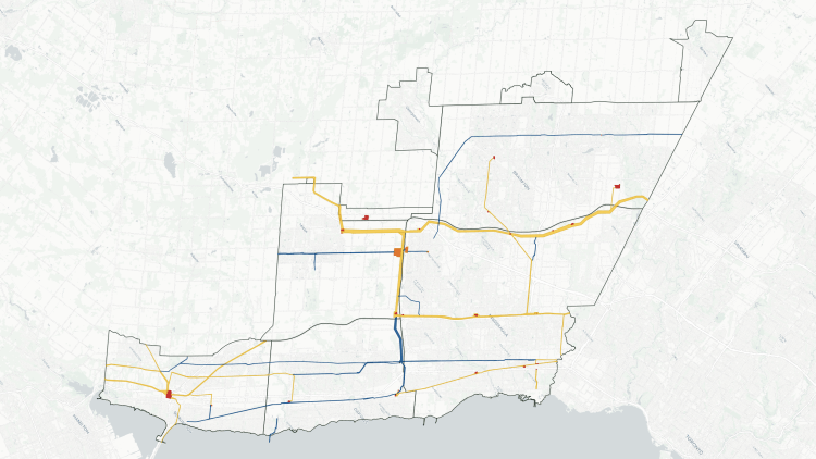
Utility corridors in the North Greater Toronto Area are underlain by a major corridor parallel to Highway 407. This 500 kilovolt electrical transmission (“hydro”) corridor acts as a backbone to Ontario’s electricity system, and lower voltage corridors for York Region’s urban areas branch northward from it. Pipelines also arch across the middle of the region.
Altogether, these form corridors totalling 156 kilometres long, and covering over 1,650 hectares. The corridors are listed below.
407
Length
40.0 km
Area
925.8 ha
Average Width
232 m
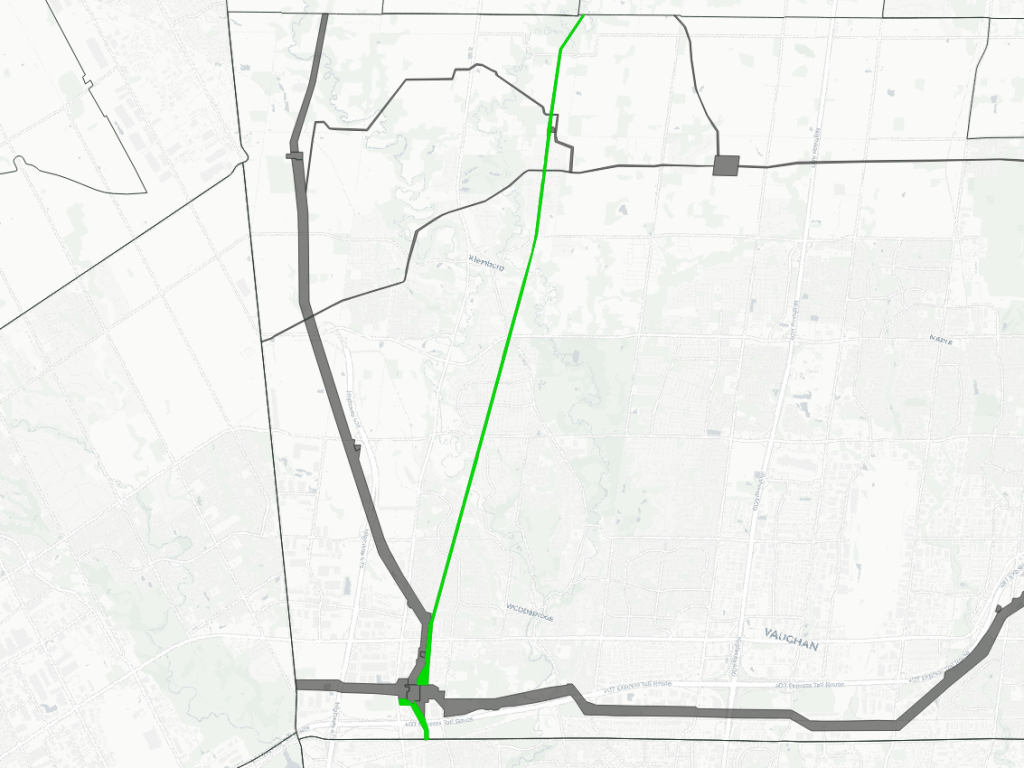
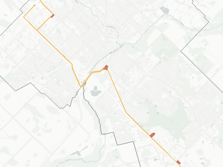
BoltEast
Length
14.4 km
Area
261.8 ha
Average Width
182 m
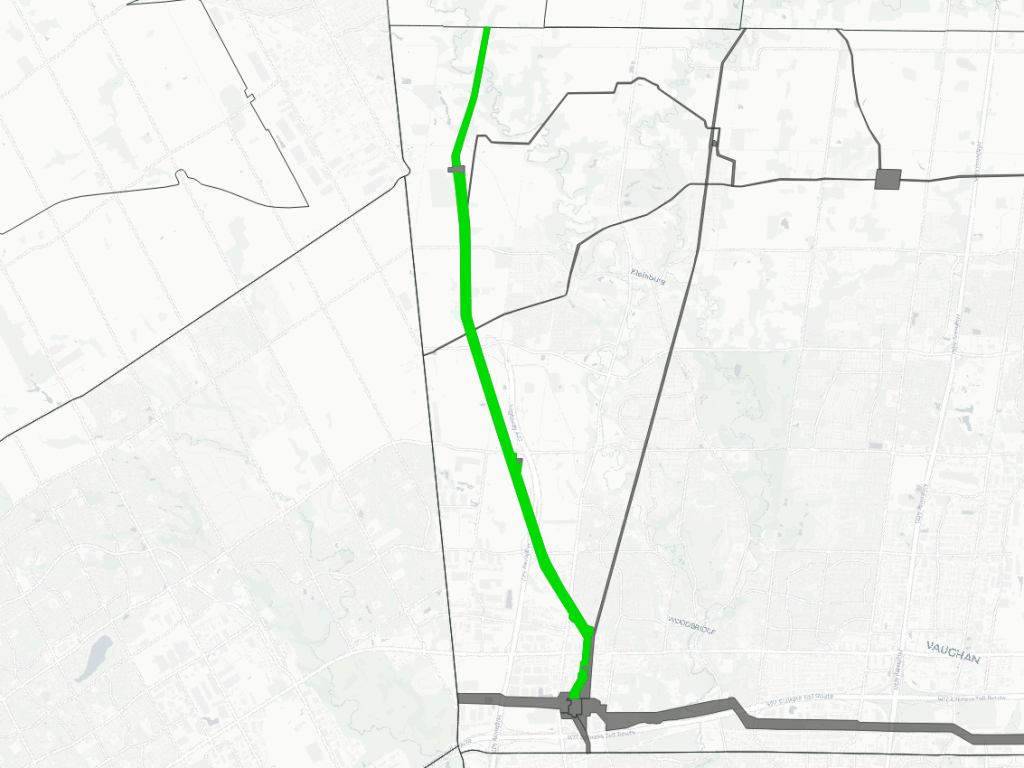
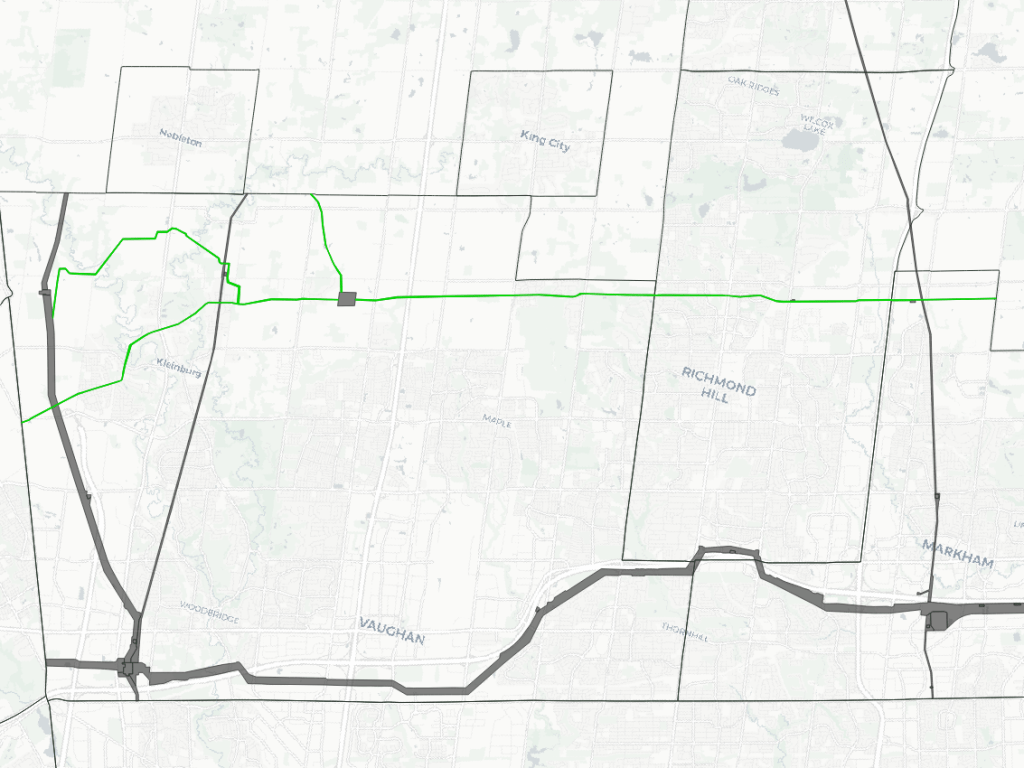
Kleinburg
Length
14.2 km
Area
81.3 ha
Average Width
57 m
Warden / Buttonville
Length
25.8 km
Area
116.6 ha
Average Width
45 m
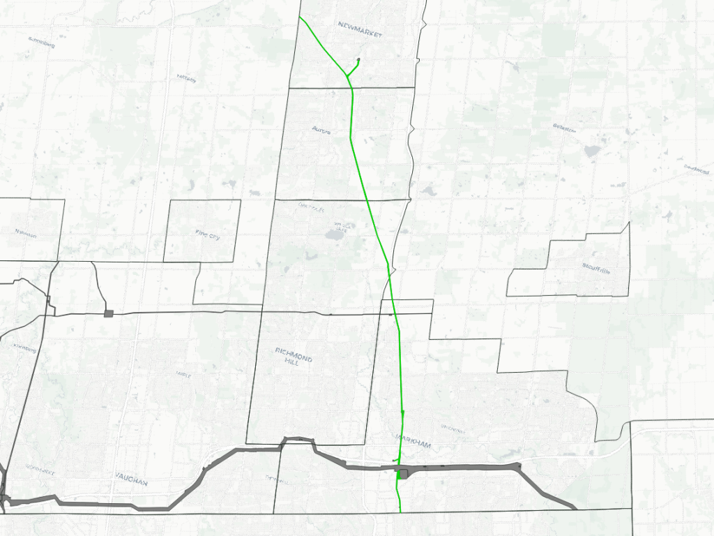
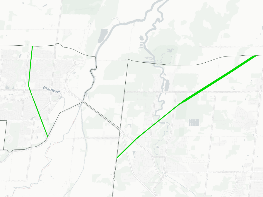
Gwillimbury / Bradford
Length
12.2 km
Area
61.3 ha
Average Width
50 m
TransCanada
Length
41.5 km
Area
104.5 ha
Average Width
25 m
Notes and Disclaimers
This is interpretive and not based on official property ownership or rights information from any utility or government entities. This data is provided ‘as is’; please refer to the licenses and additional disclaimers at the Open Data page.
Some utility corridors are not plainly defined by property boundaries, and may cross or abut private property, roadways and railways. Some interpretive liberties were taken.
Pipelines are often found within hydro corridors. These are identified primarily as hydro corridors, while pipeline corridors are identified as corridors where hydro lines are not present. Identifying a hydro corridor does not confirm the presence or absence of pipelines.
While this page advocates for greater public access, utility corridors are private property and this page does not suggest they are all publicly accessible. Please observe all signage respecting access and activities permitted within these corridors. Remember that high voltage power lines and high pressure pipelines can be dangerous to you and the environment.