Note: This post was originally published in February 2019. It was updated in May 2021 to reflect some completed work.
Toronto hosted the Pan Am and Parapan Am Games in 2015. To pull off such a large sporting event, Toronto invested in several facilities where the games would happen, to be reused for community benefit afterwards.
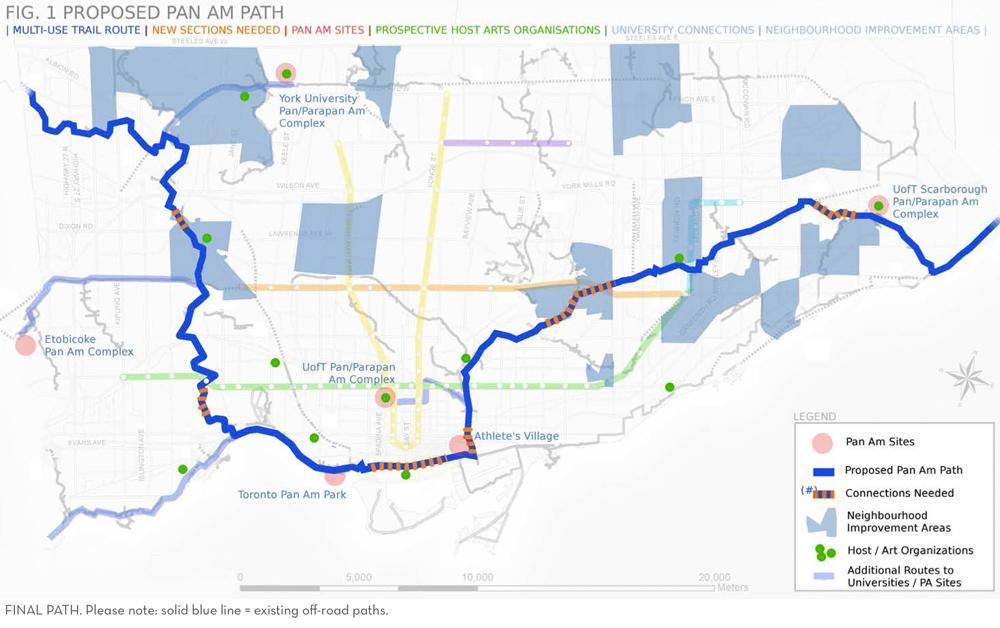
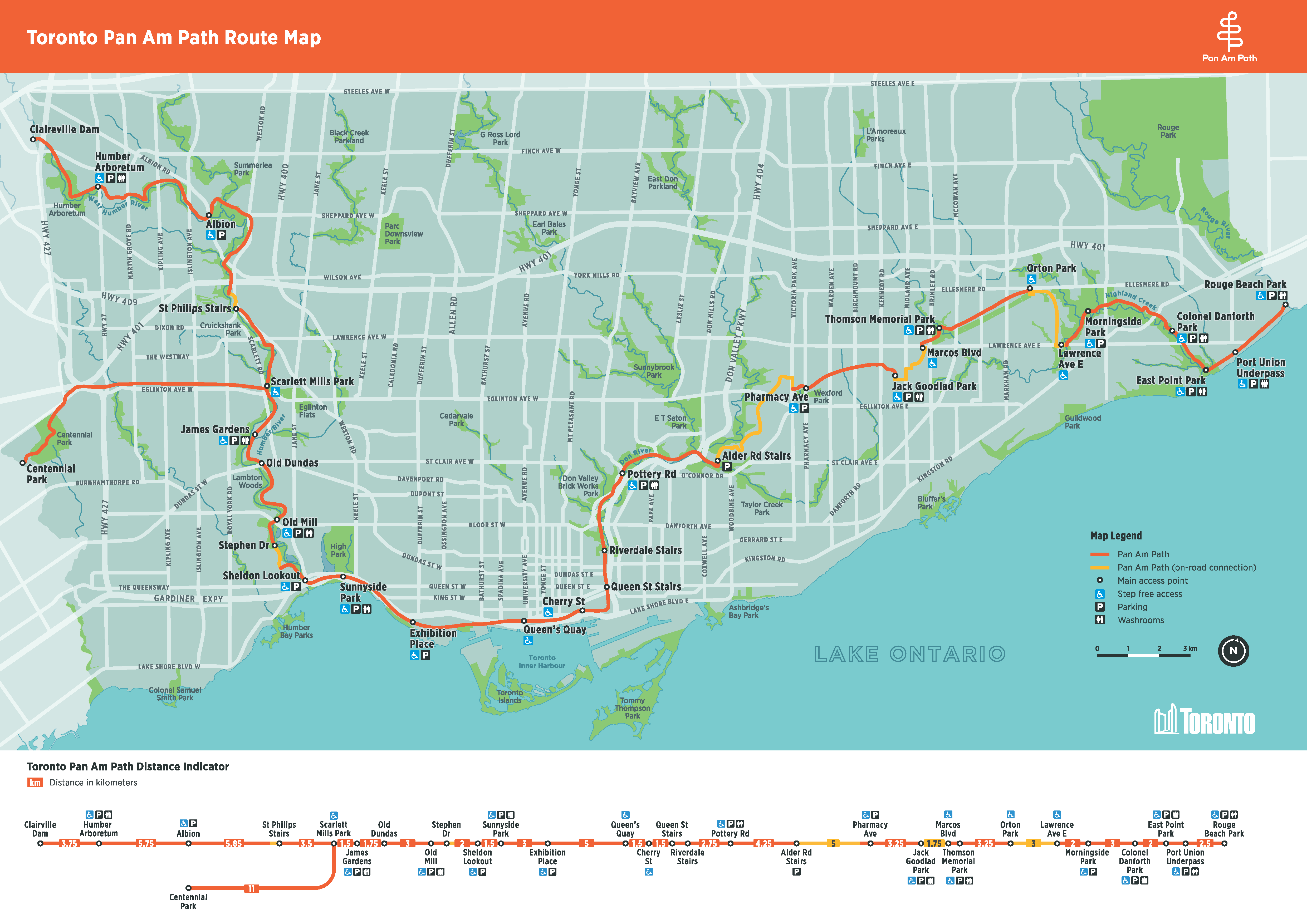
There was also one “legacy project” to pay tribute to the games. The Pan Am Path was a proposed 84-kilometre continuous off-road multi-use trail, connecting the city from northwest Etobicoke, through downtown, to southeast Scarborough. Much of it was along existing trails, but there were a few gaps that needed to be completed.
So as a legacy to a significant event that happened in the summer of 2015, these projects should be done years later…right?
- East Highland (Orton Park Road to Morningside Park)
- Don Valley (Forks of the Don to Eglinton Avenue)
- Waterfront (Stadium Road Park to Sherbourne Common)
- Humber Marshes (Riverwood Parkway to South Humber Park)
- Weston (Crawford Jones Memorial to Cruickshank Park)
- Other Gaps
East Highland (Orton Park Road to Morningside Park)
This segment connects the Forks of Highland Creek to the Meadoway. The original path forced users to detour via Orton Park Road.
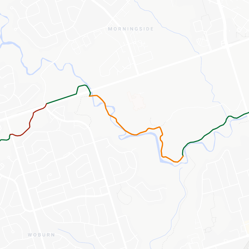
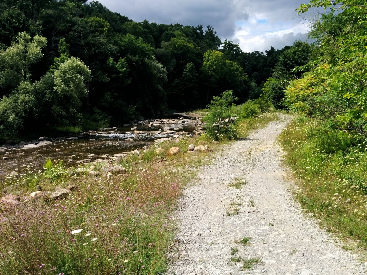
The City started planning in partnership with the Toronto and Region Conservation Authority (TRCA) back in 2014. Construction started in 2019, and was eventually completed sometime in late 2020 or early 2021. I walked the East Highland Creek back in July 2018 using an old construction accesses from previous TRCA creek remediation work, but it involved hopping across lots of rocks. It’s good to see that the beauty of this reach of the creek is now accessible to all.
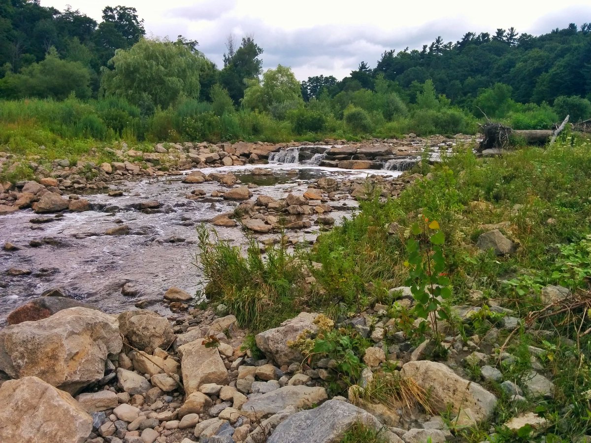
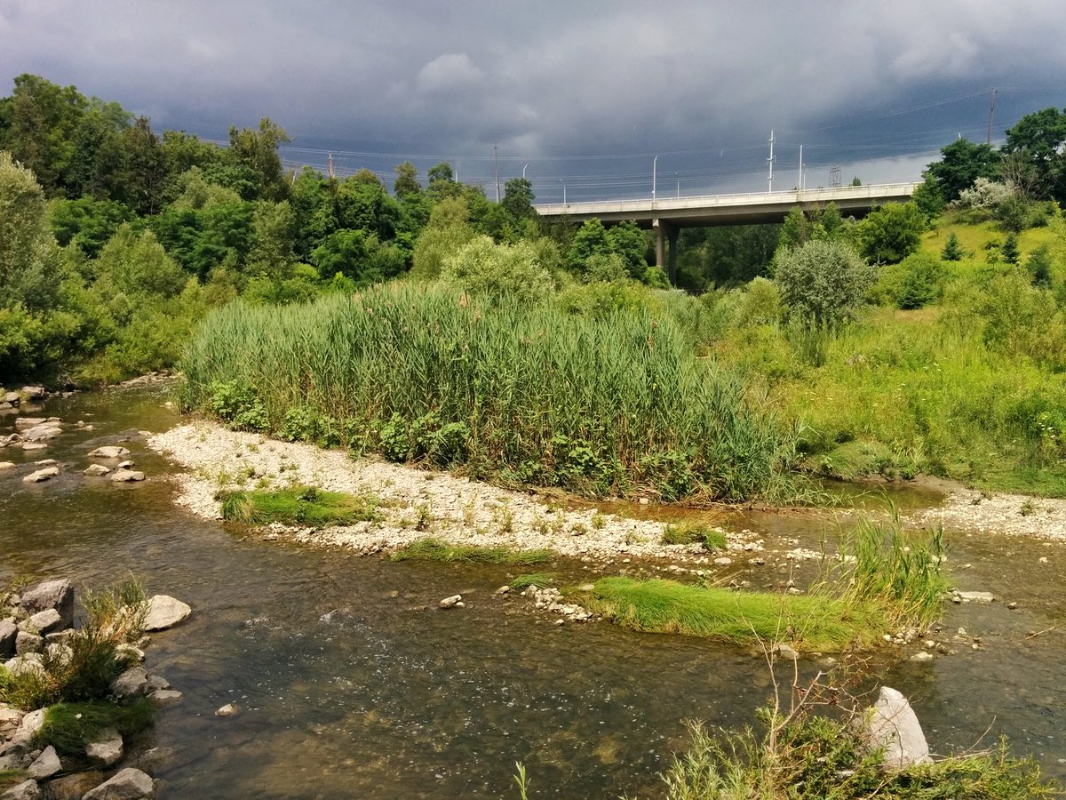
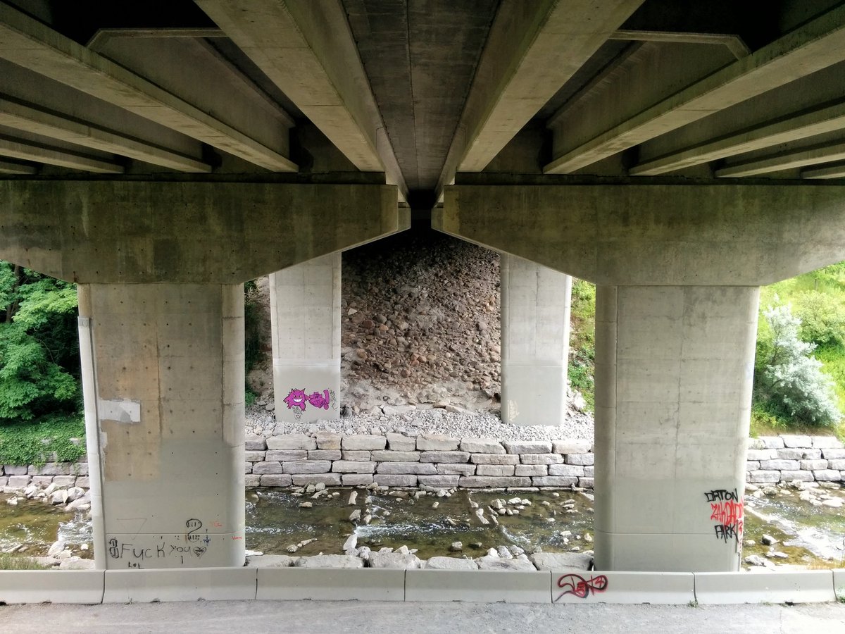
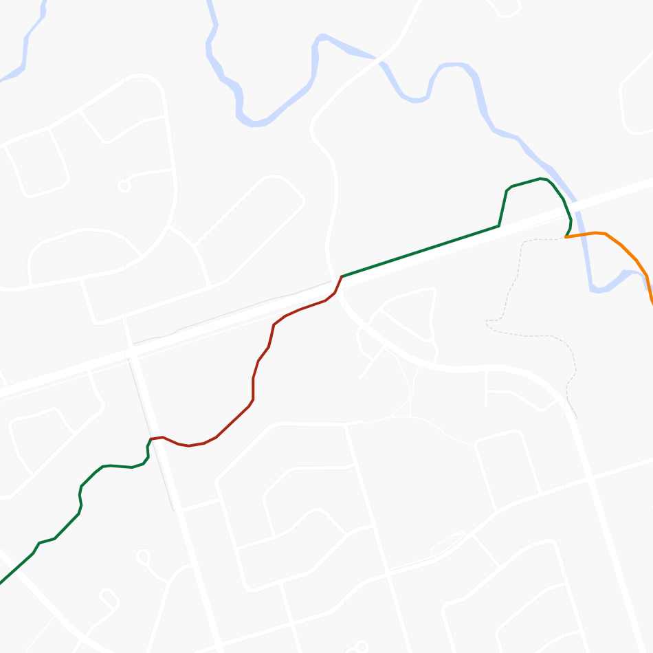
Don Valley (Forks of the Don to Eglinton Avenue)
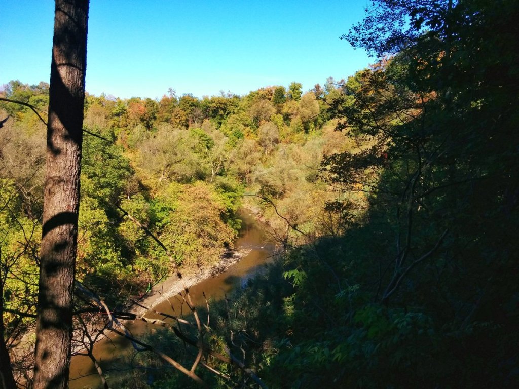
This segment would connect an existing trail along the Gatineau Hydro Corridor, down the East Don River to the Forks of the Don. The current detour is along various streets to Taylor Massey Creek, and along that ravine.
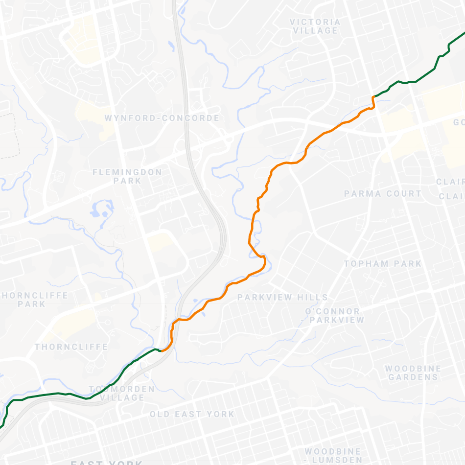
The East Don Trail and connection to the Gatineau Hydro Corridor was another project planned through a city-TRCA partnership back in 2016. Construction started in September 2018, and is expected to be completed by the end of 2021, but I’d expect that target to slip. This will complete this connection for the Pan Am Path, despite leaving an unfunded gap along the East Don Trail north to Wigmore Park.
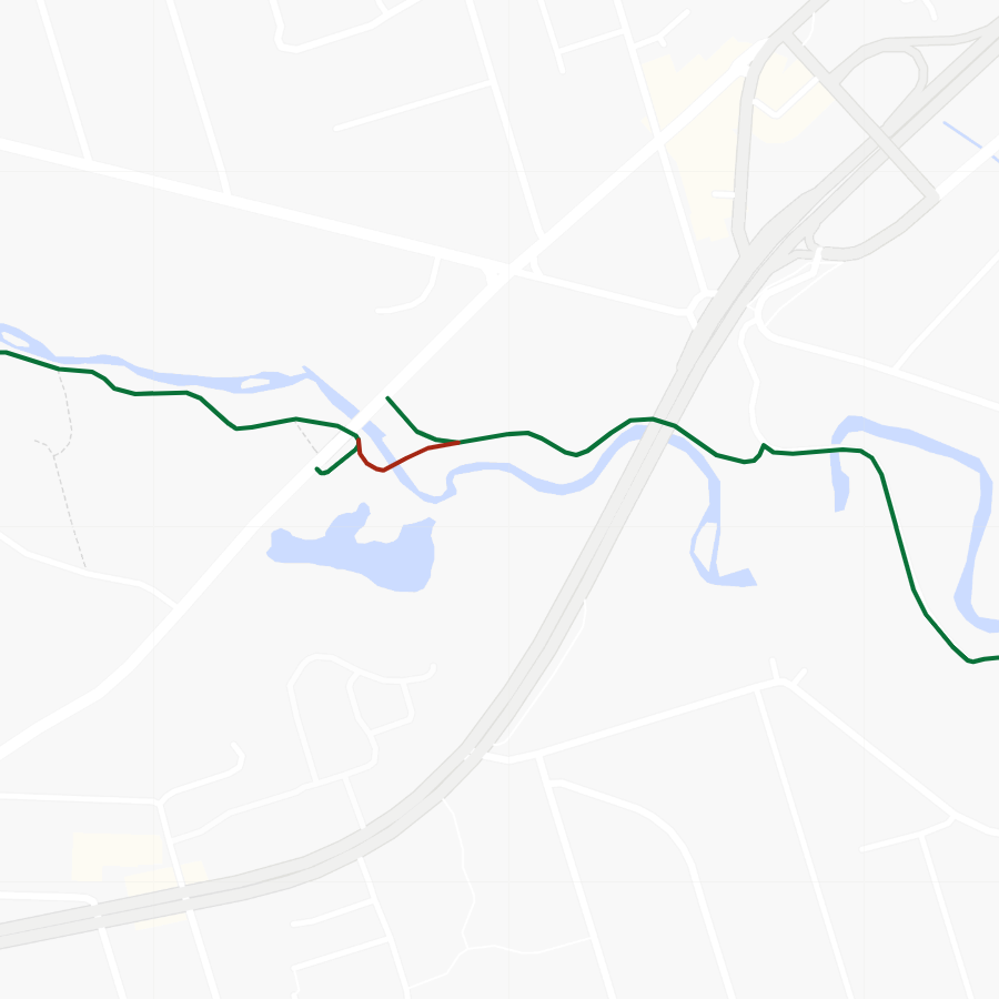
Waterfront (Stadium Road Park to Sherbourne Common)
This connection was missing when the Pan Am Path was first announced, but was well under construction, and was completed in June 2015, one month prior to the opening of the games.

The path was borne out of Waterfront Toronto’s revitalization of Queens Quay. The former 4-lane industrial boulevard with a streetcar saw itself cut down to 2 lanes, 1 in each direction north of the streetcar right-of-way. The former eastbound lanes reclaimed as a dedicated cycling trail and wide pedestrian promenade. For a progressive dense community that was forced into amalgamation and dominated by suburban conservative politics, it was a breath of fresh air. It also made a track record for Waterfront Toronto, the tri-governmental agency that made it happen.
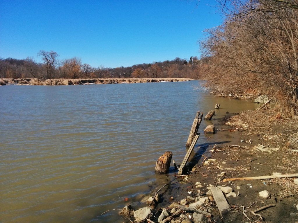
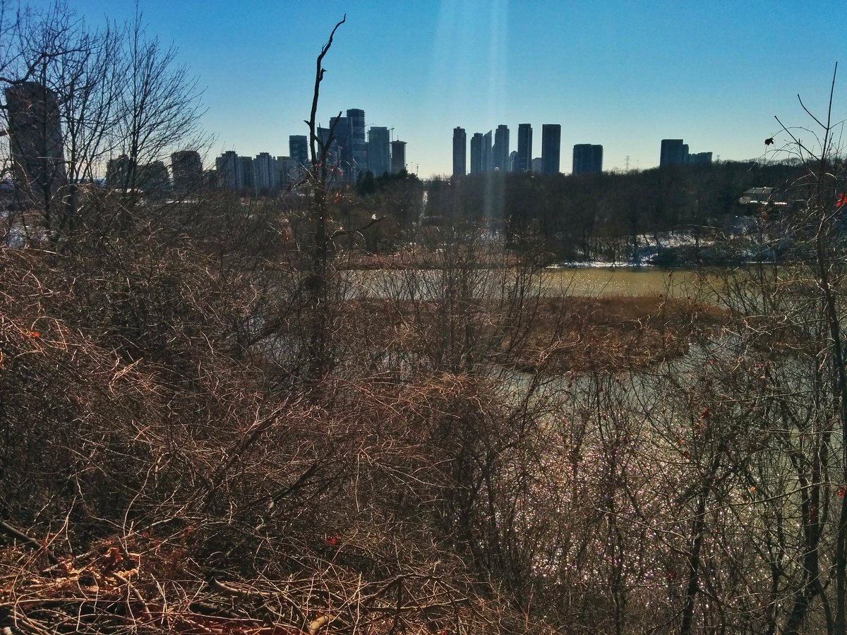
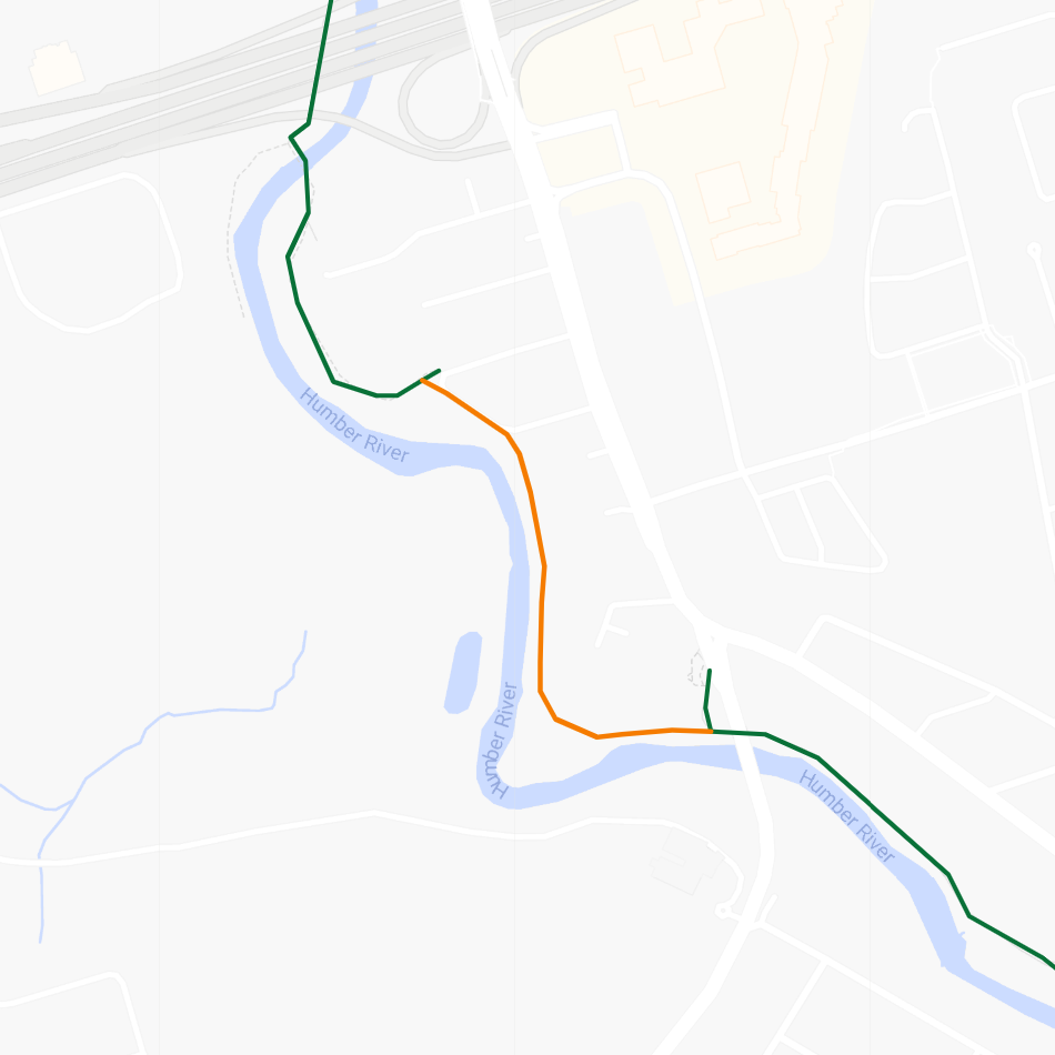
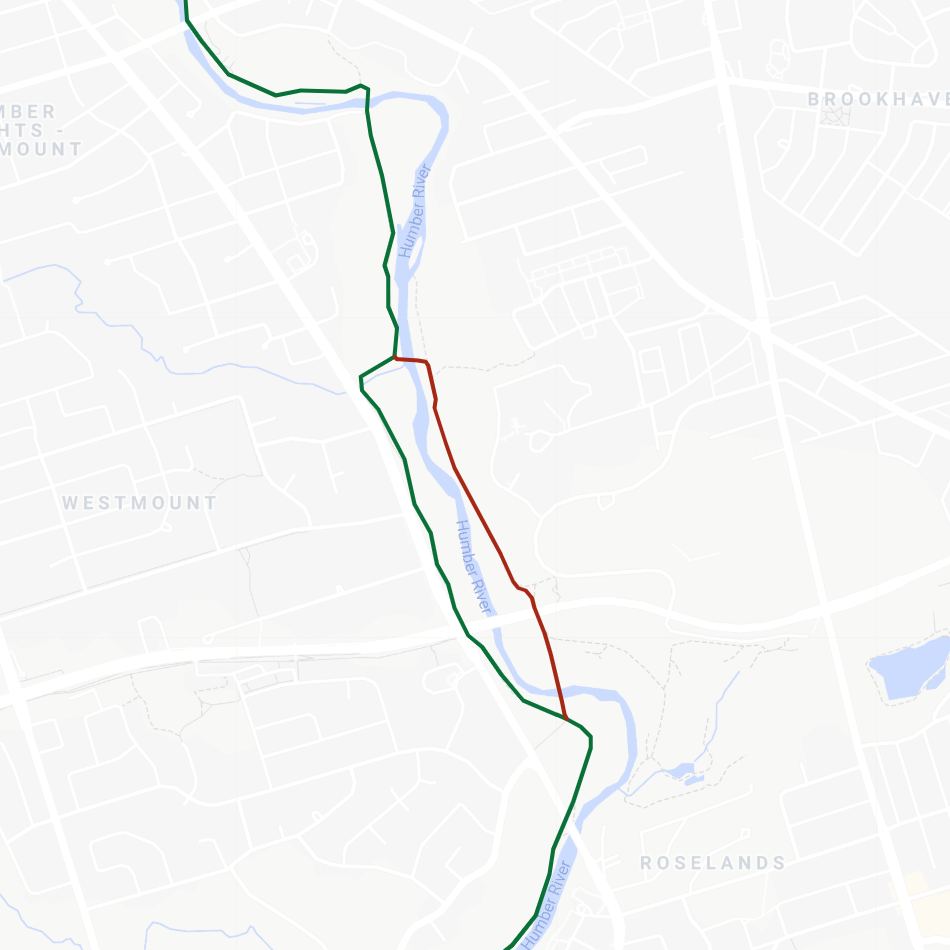
Humber Marshes (Riverwood Parkway to South Humber Park)
I am not very clear on this connection; the gap exists between King’s Mill Park and South Humber Park, requiring users to travel via Riverwood Parkway and Stephen Drive.
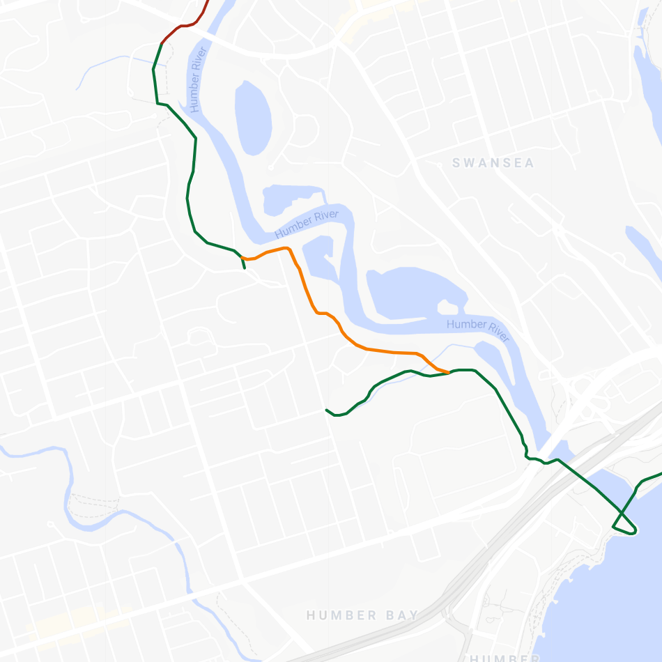
However, where exactly you would place a dedicated trail connection is a mystery to me, as welcome as it would be. This is akin to the TRCA’s proposal to extend a trail through the bottom reach of the Rouge River; it’s a wide river channel with wetlands, and the adjacent tableland is taken up by private residential housing. Creating a path would be tricky and expensive, so this might be one acceptable on-street connection to live with.
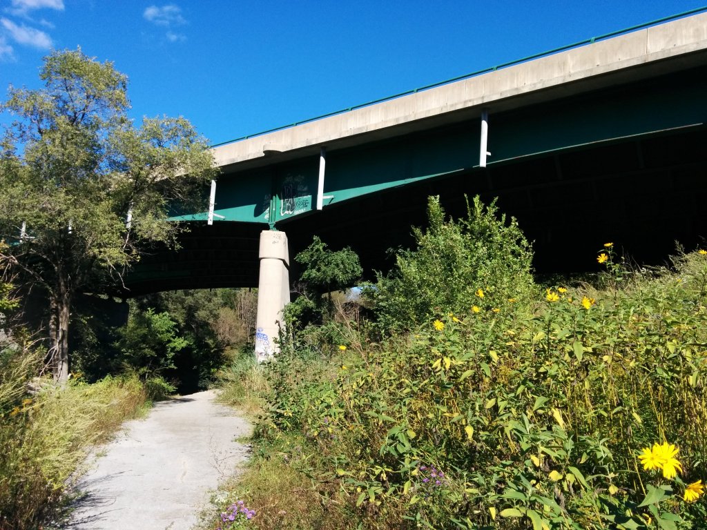
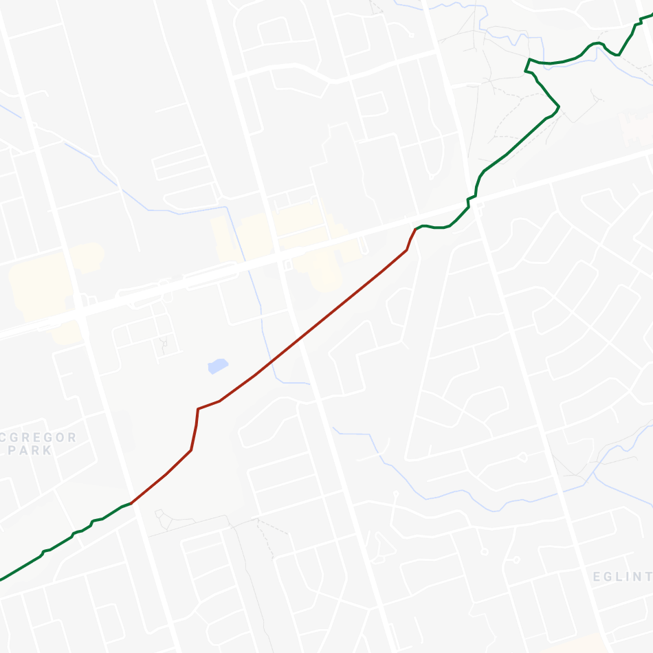
Weston (Crawford Jones Memorial to Cruickshank Park)
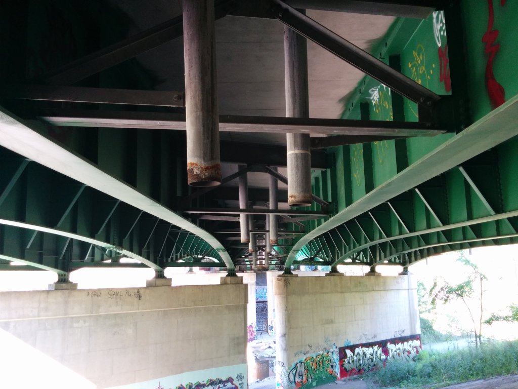
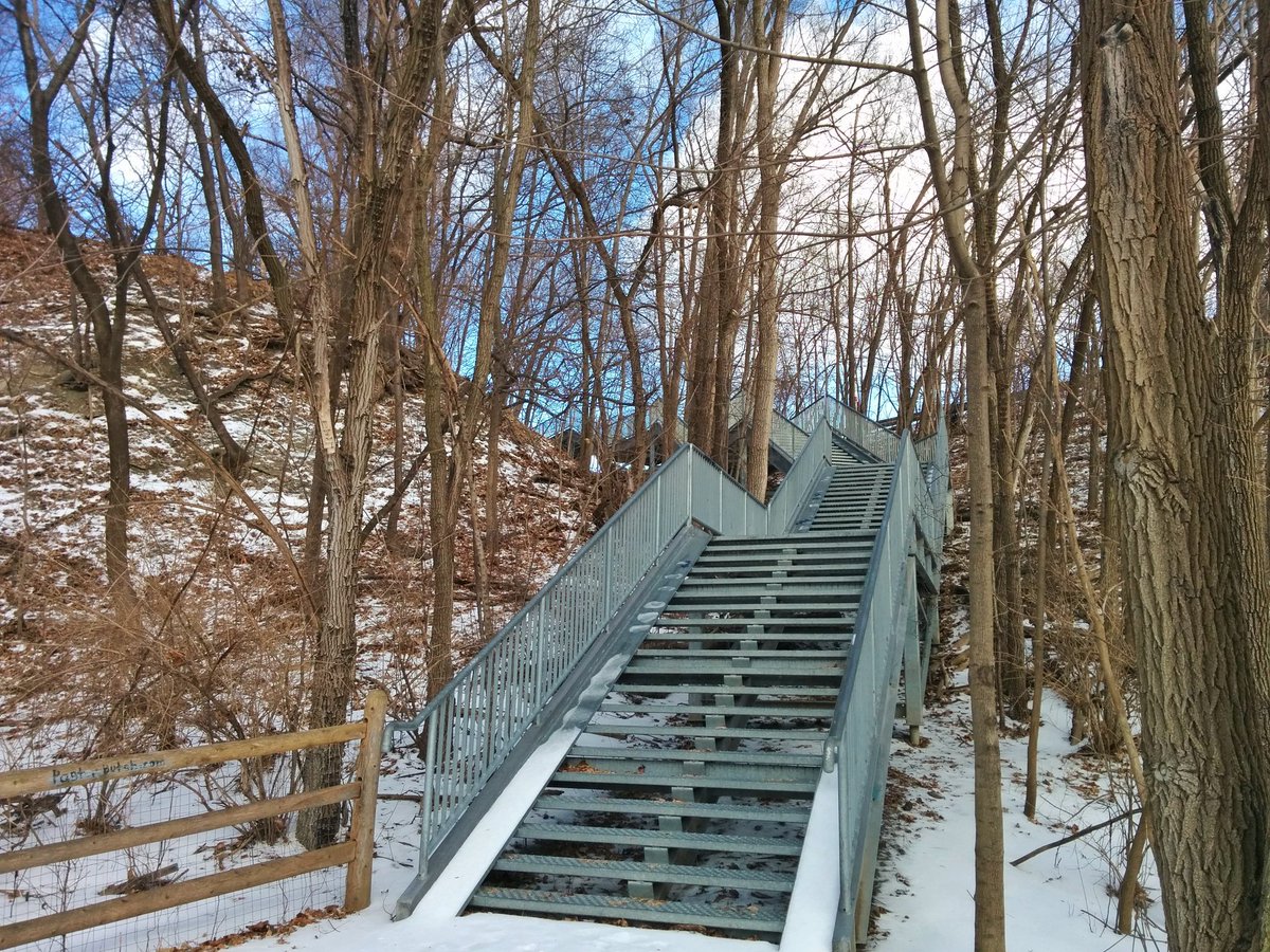
This segment would make the Humber River Trail continuous by making a connection between Memorial Park and Cruickshank Park, going under the GO Transit Kitchener line. The current detour sends you up (or down) the St Phillips Steps, and along Weston Road.
I have seen no indication of this moving forward, and it’s extremely disappointing. Metrolinx recently completed work here to widen the rail bridge over the Humber River, and while other trail projects have taken advantage of old constructions accesses, nothing seems to have been left behind in this case. For extra irony, it is in the old Ward 11, where local councillor Frances Nunziata hosted a ribbon-cutting ceremony for the path back in 2014.

Other Gaps
Besides the 5 main connections identified, there are still some other gaps that should be addressed to ensure the Pan Am Path is a legacy to be proud of.
Military Trail
This gap requiring use of a sidewalk on Military Trail to cross Highland Creek, and a looparound back under the road could simply use a dedicated bridge to create a more direct route.
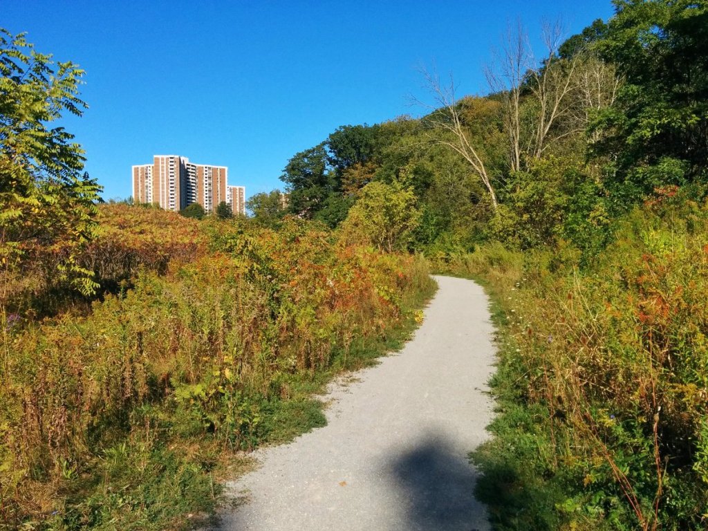
Missing Meadoway Segments
While these could be considered in the pipeline, there are segments of trail along the future Gatineau Meadoway that will need to be finished. I have previously written at length about the work that should be done in the corridor.
Old Mill
While dedicated space along the driveway into King’s Mill Park may be a bit of nitpicking, it has always driven me crazy that trail users must face off with vehicles on the skinny Old Mill Road bridge. A dedicated connection should be made, as I suggested in my analysis of TRCA’s Trail Strategy.

Eglinton
It may be of lower priority, but an opportunity exists to improve the trail in the vicinity of Eglinton Avenue. Two additional river crossings grade-separate the trail from Eglinton, and avoid the steep climb around Humber Creek.
Final Notes
As with any trails in Toronto, I place a lot of emphasis on ensuring that on-street connections are minimized, and grade separations are created where required. Filling in the gaps profiled above will mostly address both these elements.
One aspect of the Pan Am Path that I cannot knock on is the branding and wayfinding. The city, in partnership with Friends of the Pan Am Path, have made an excellent website with helpful and informative resources, great navigational signs and maps, and a distinct logo.
At the same time, the branding, wayfinding, and general fanfare for the Pan Am Path feels like a a slap in the face larger capital improvements were not in motion. Almost four years after the games, I feel the legacy should be complete.
Perhaps I am impatient; at least 1/5 of the identified connections is complete, and another 2 will be on the way. But with no plans for the remaining 2, and plenty of other gaps, it really fits with a theme of active transportation’s second-class treatment in this city; lack of maintenance, lack of building, and lack of progress. Perhaps Toronto’s legacy is talking big, and not following through.

The missing link at Weston is going to be difficult to fill underneath the CN/metrolinx railway bridge, the east bank is near vertical straight into the river. Immediately downstream of the bridge there is a section that has private property on the top, and the vertical slope to the river is not only near vertical, but also unstable and sliding downhill. The west bank of the river is nice and flat, and occupied by one of the fairways of the Weston golf and country club. There is no place to put a trail that is safe from errant golf balls.
LikeLike
here is an archive page with updates: http://www.panampath.com
LikeLike