Railways used to be the only practical mode of regional and cross country freight and passenger transportation in the late 19th and early 20th centuries. This made them city builders, and significant economies were built around transporting goods and accommodating travelers. But of course, that changed with the automobile, and building of expressways.
Today, cities are less dominated by railways than they used to be, and some towns are remnants of the activity they used to see. But they still remain an energy / space efficient mode of transportation.
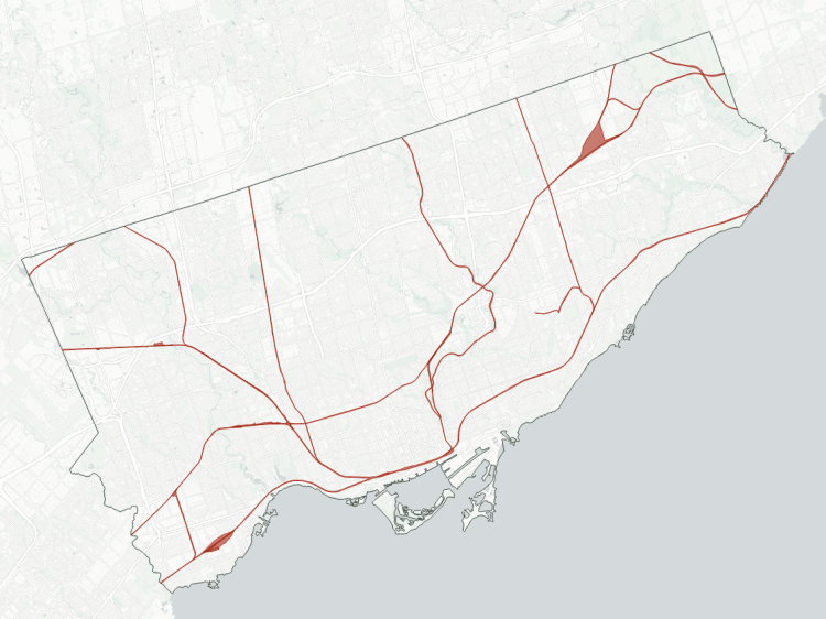
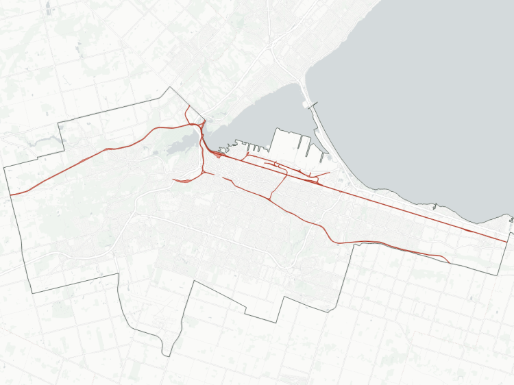
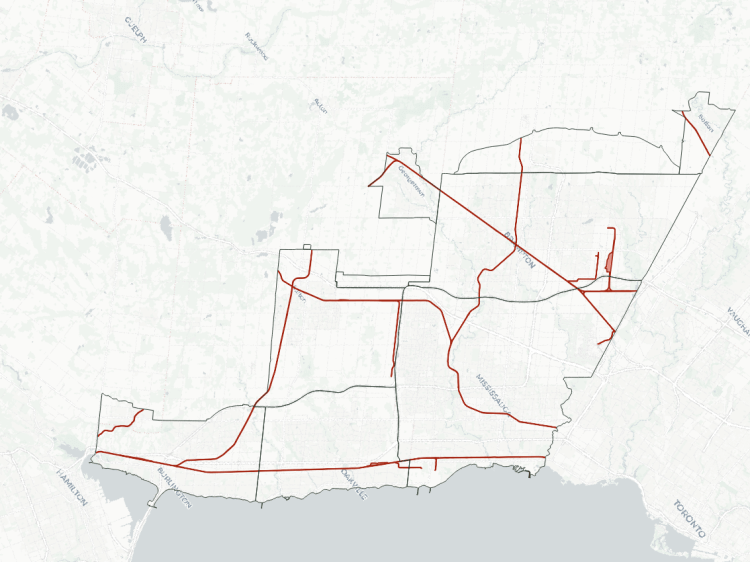
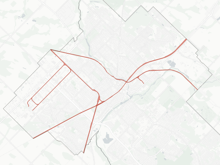
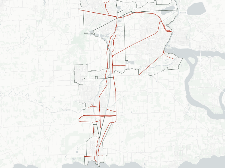
One drawback with railways is that they are long, restricted corridors that cut off access across, over or under them for large distances. Most times, crossings are provided for major roads and in deep ravines where bridges were necessary. however, they remain a large barrier for active transportation, where they can significantly increase travel times. Improved access across these corridors is low hanging fruit to improving a city’s broader active transportation network.
Railway City Profiles

Brief Railway Terminology
While expressway terminology is more familiar to the layman, railway terms are a little less clear. I have some knowledge of southern Ontario’s railway infrastructure, but the information out there for the layman is scattered. My focus is on how railways impact local metroscapes, so here’s some limited, high-level terminology.
First, the corridors of main higher-speed tracks used by a railway for travelling between cities and regions are referred to as “subdivisions” (“subs” for short). A lower-speed service track that branches off from a sub is usually called a “lead” or a “spur.”
“Interlockings” are where there are switches for trains to change between tracks, and they are often paired with signals to make sure trains don’t run into each other. When interlockings are joining different subdivisions, they are called “junctions.” These interlockings and junctions have names to allow railroad personnel to make geographic references (e.g. West Toronto, Scarborough Junction).
“Grade separation” refers to how railway tracks and other things (i.e. a road, trail or other tracks) cross each other. When something is “at-grade” means it is at the same level; so an at-grade road would have gates and lights to stop cars when trains cross. Above or below grade is literally above or below the tracks.
Railway Sites
In addition to the RAC’s Canadian Rail Atlas, I owe some credit to understanding the history and layout of many railways to painstaking work by railfans who published on the old web:
- Various sites hosted on trainweb.org:
- Rails in Toronto (Paul Cordingley)
- Old Time Trains
- Electric Lines in Southern Ontario (the late William E. Miller)
- Hamilton Transit History (Tom Luton)
- CNR in Ontario (Jeffery P. Smith)
- Niagara Rails (Paul Duncan)
