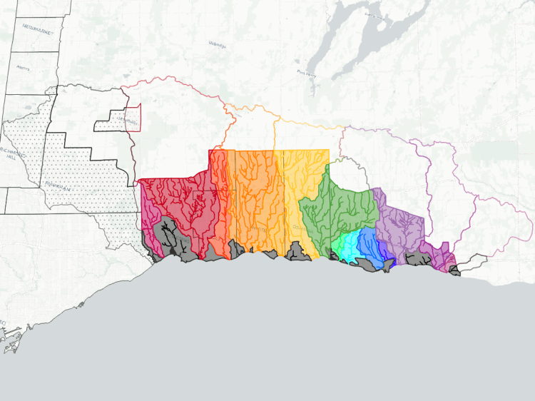
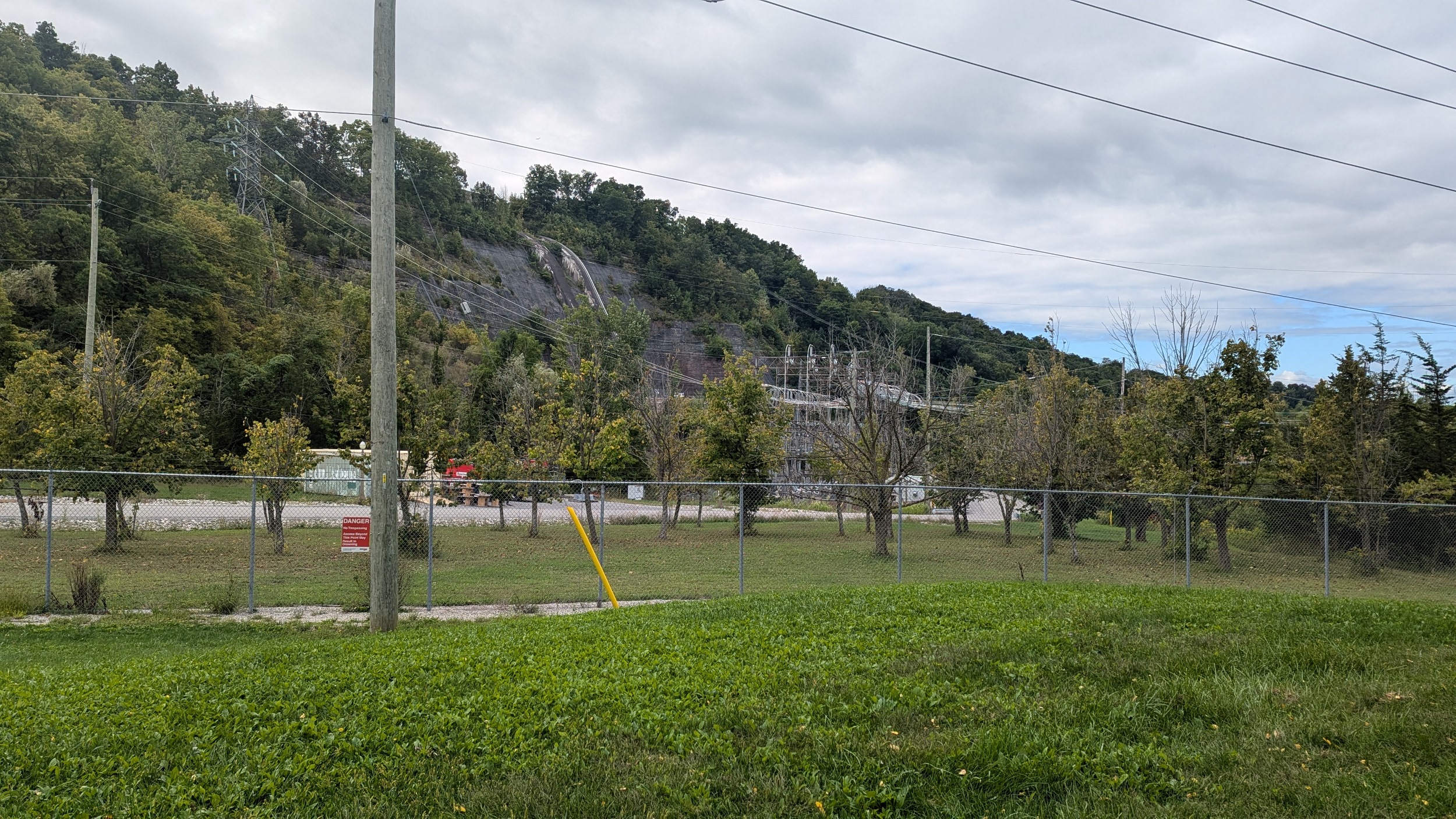
Watersheds in Niagara Region today are far from what they were two centuries ago. Drainage on the east side of the peninsula has been highly modified by shipping and hydroelectric power.
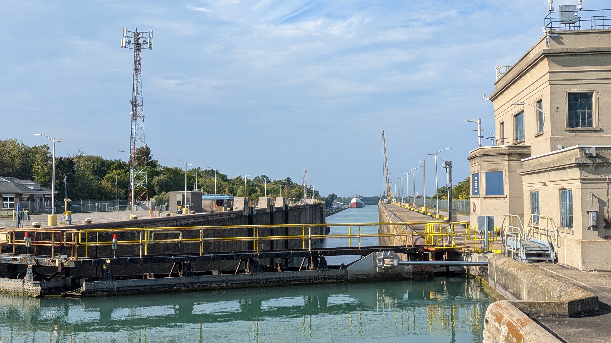
The Welland Canal, which opened up a direct conduit of water between Lake Erie and Lake Ontario. In the process of creating this ~140 metre waterway down the escarpment, many local waterways were diverted into it, making the watershed associated with the Canal over 13,000 hectares, or roughly a third of east urban Niagara.

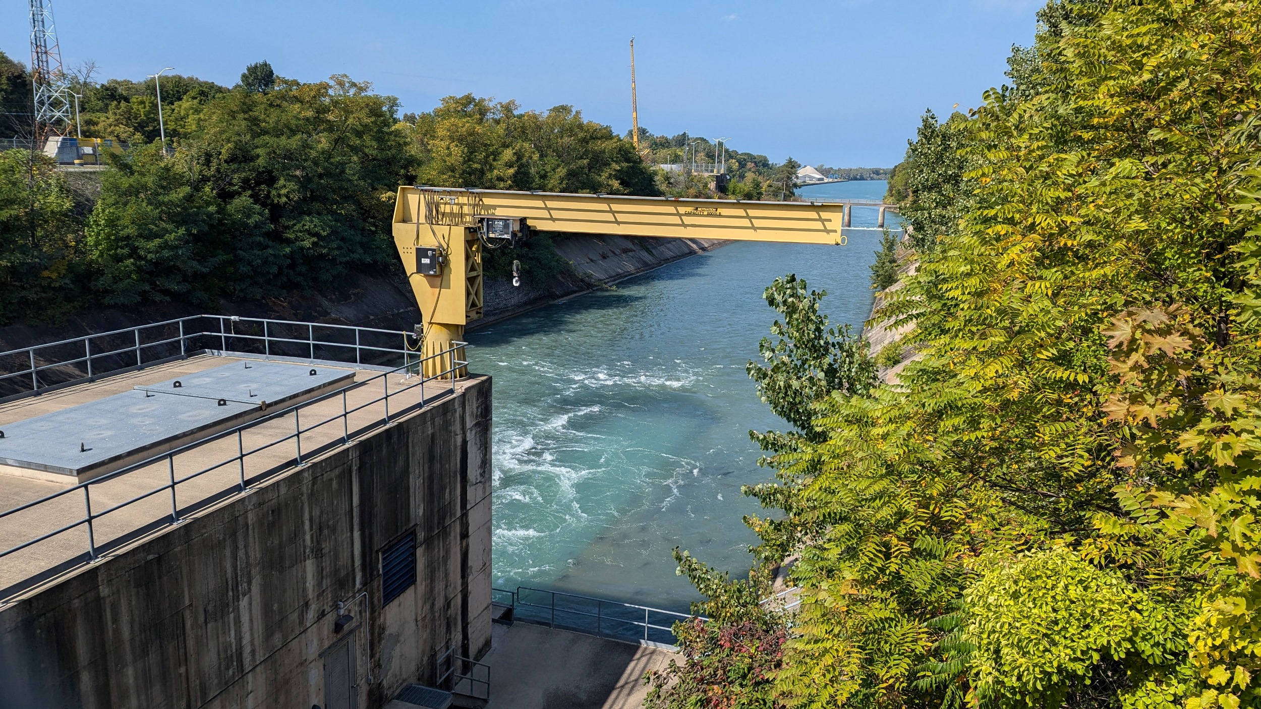

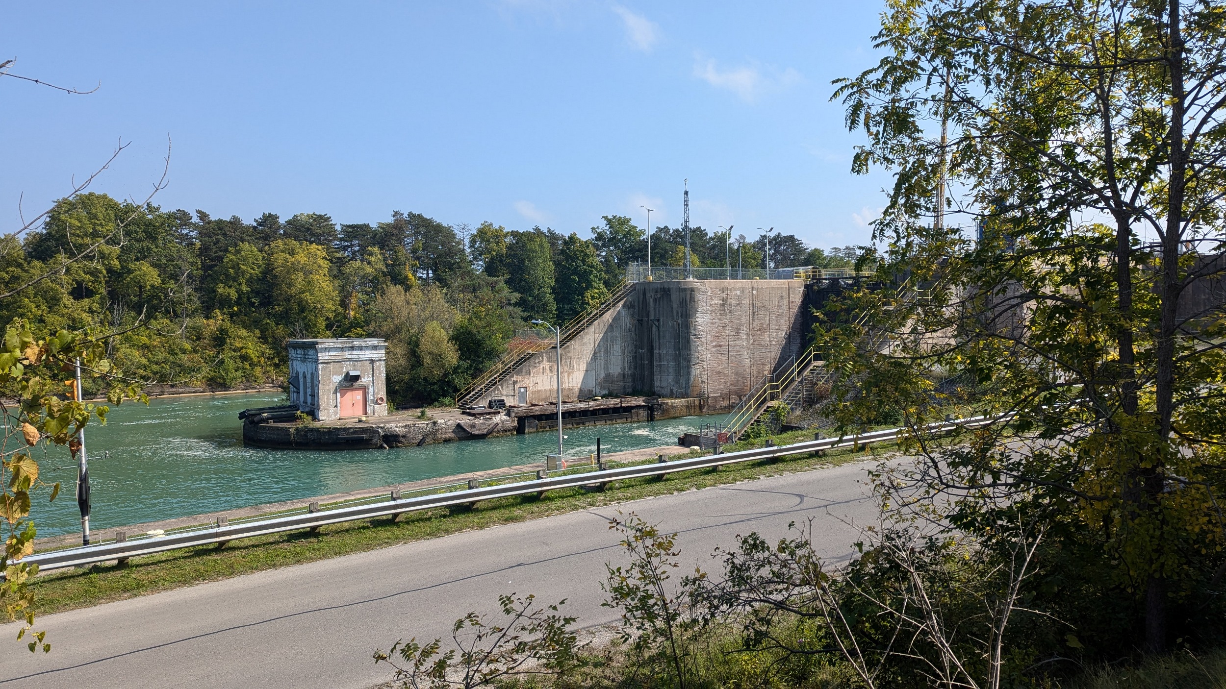
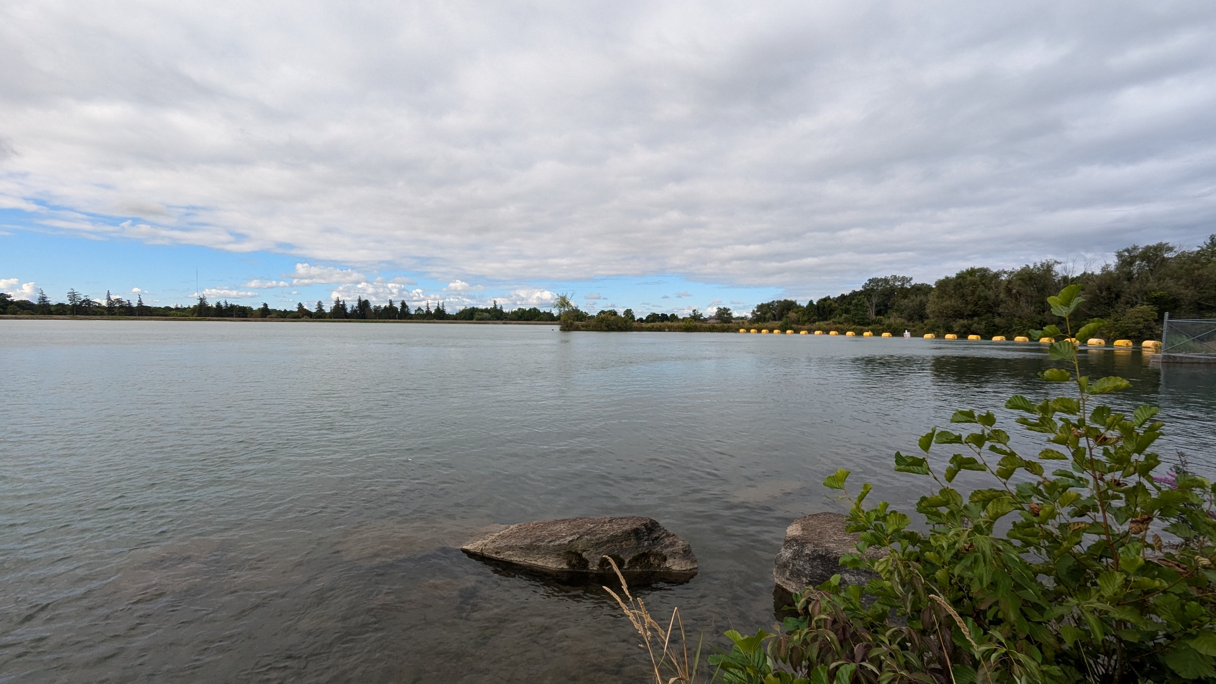
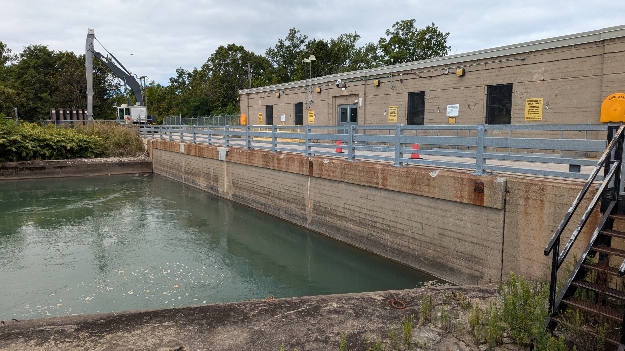
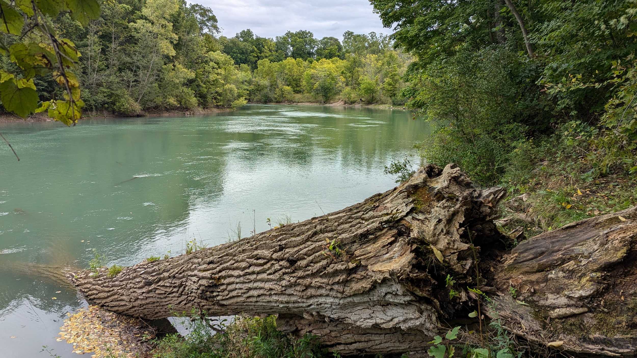
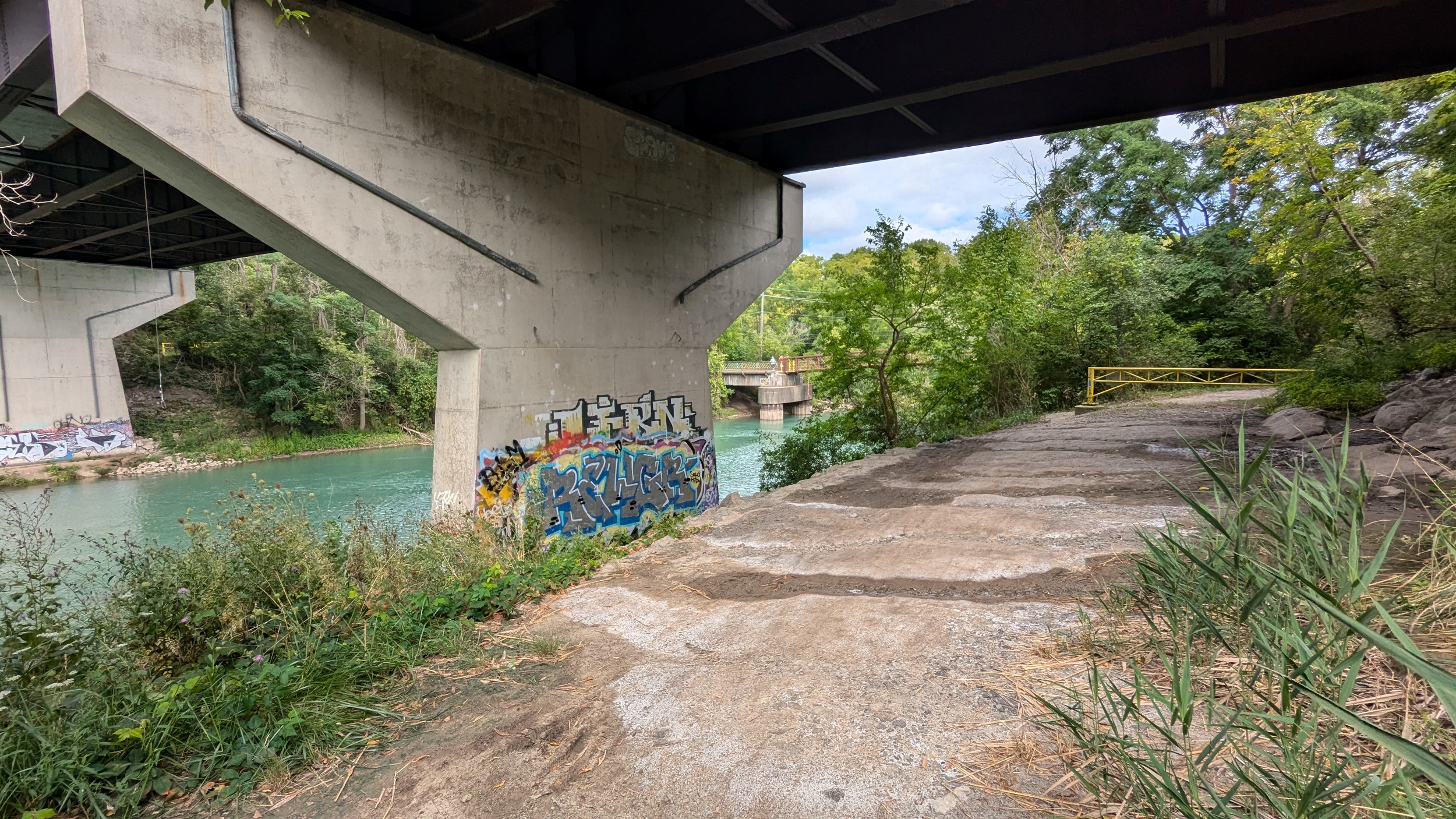
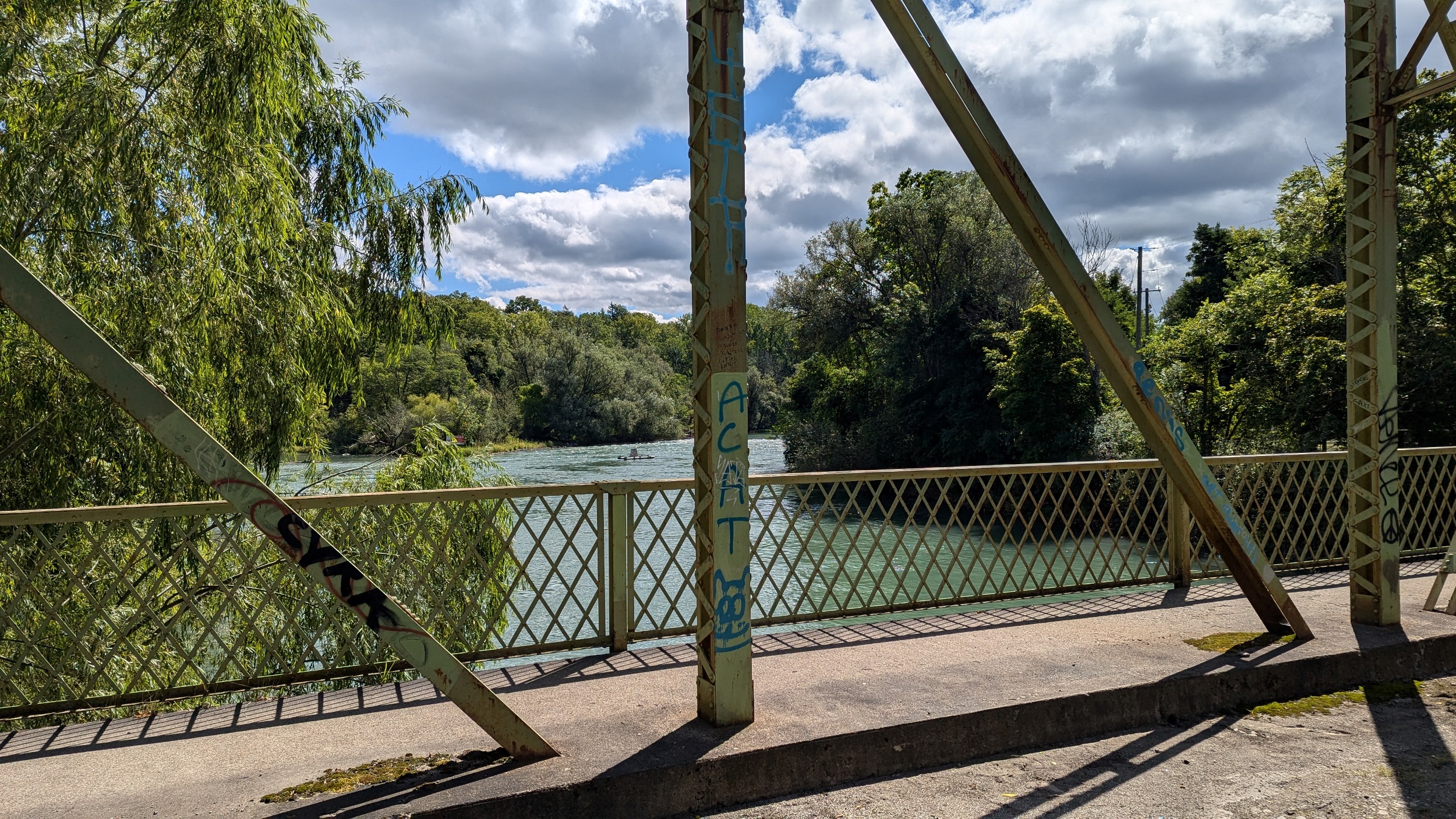
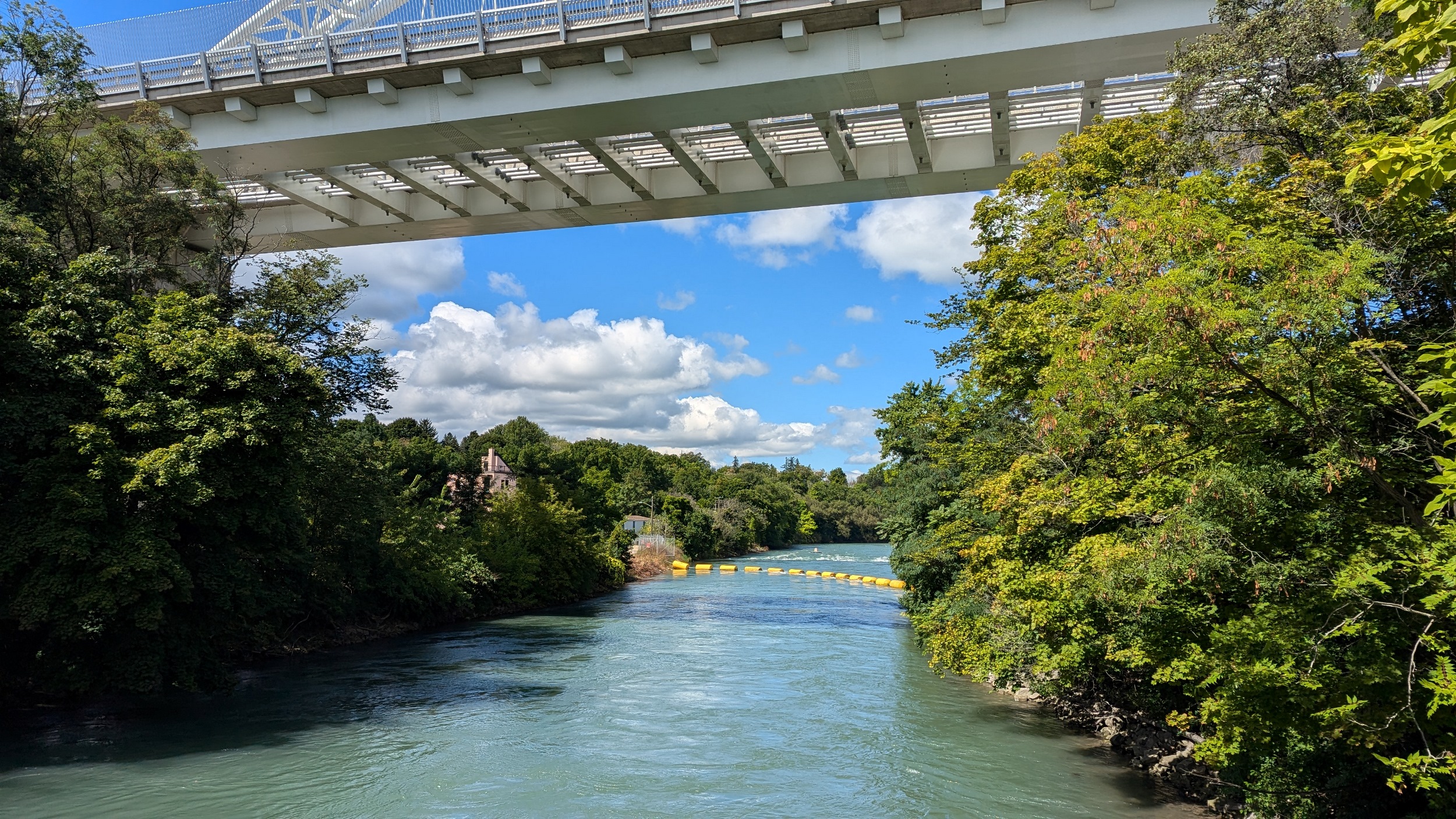
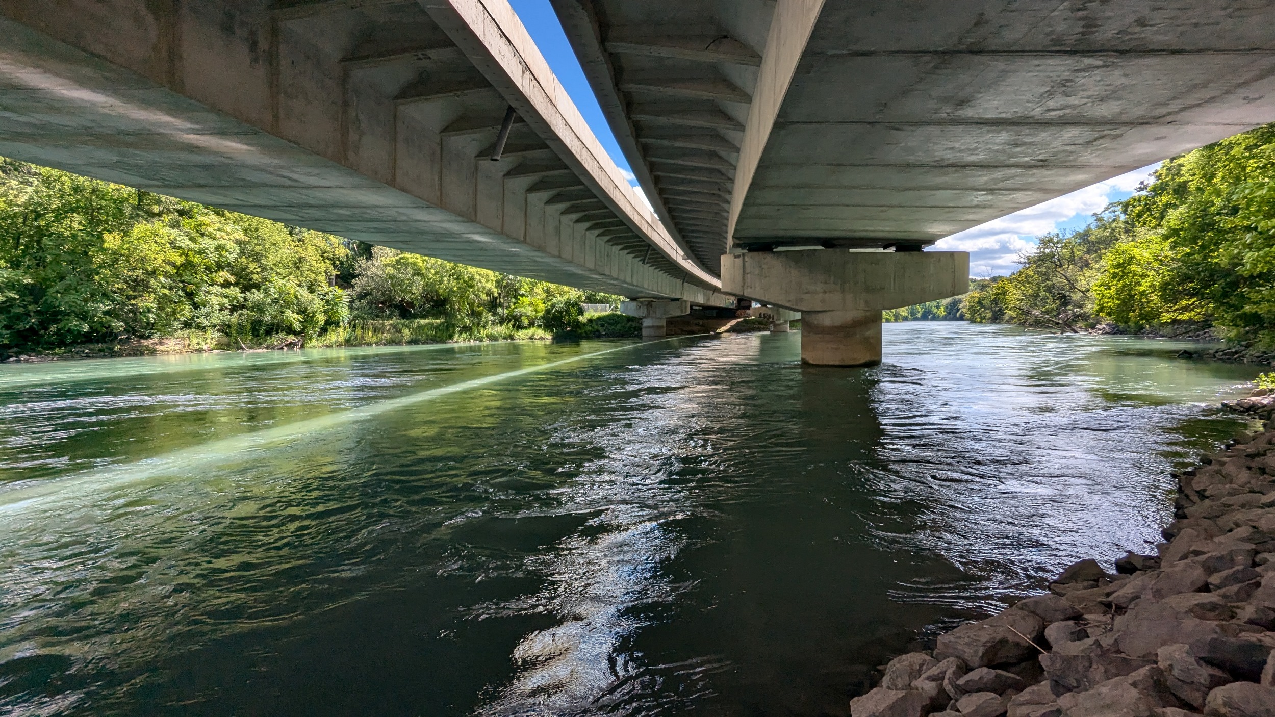
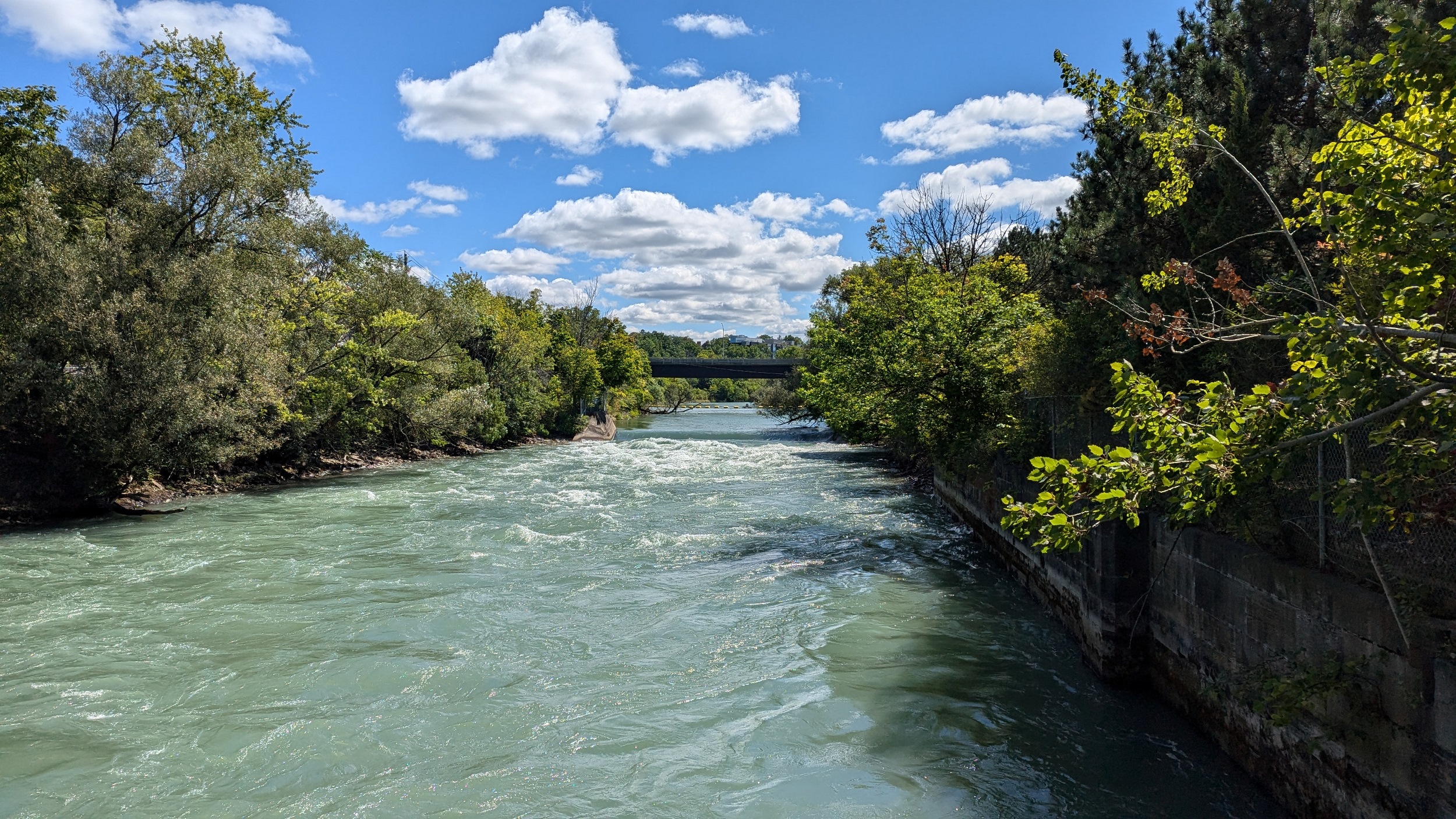
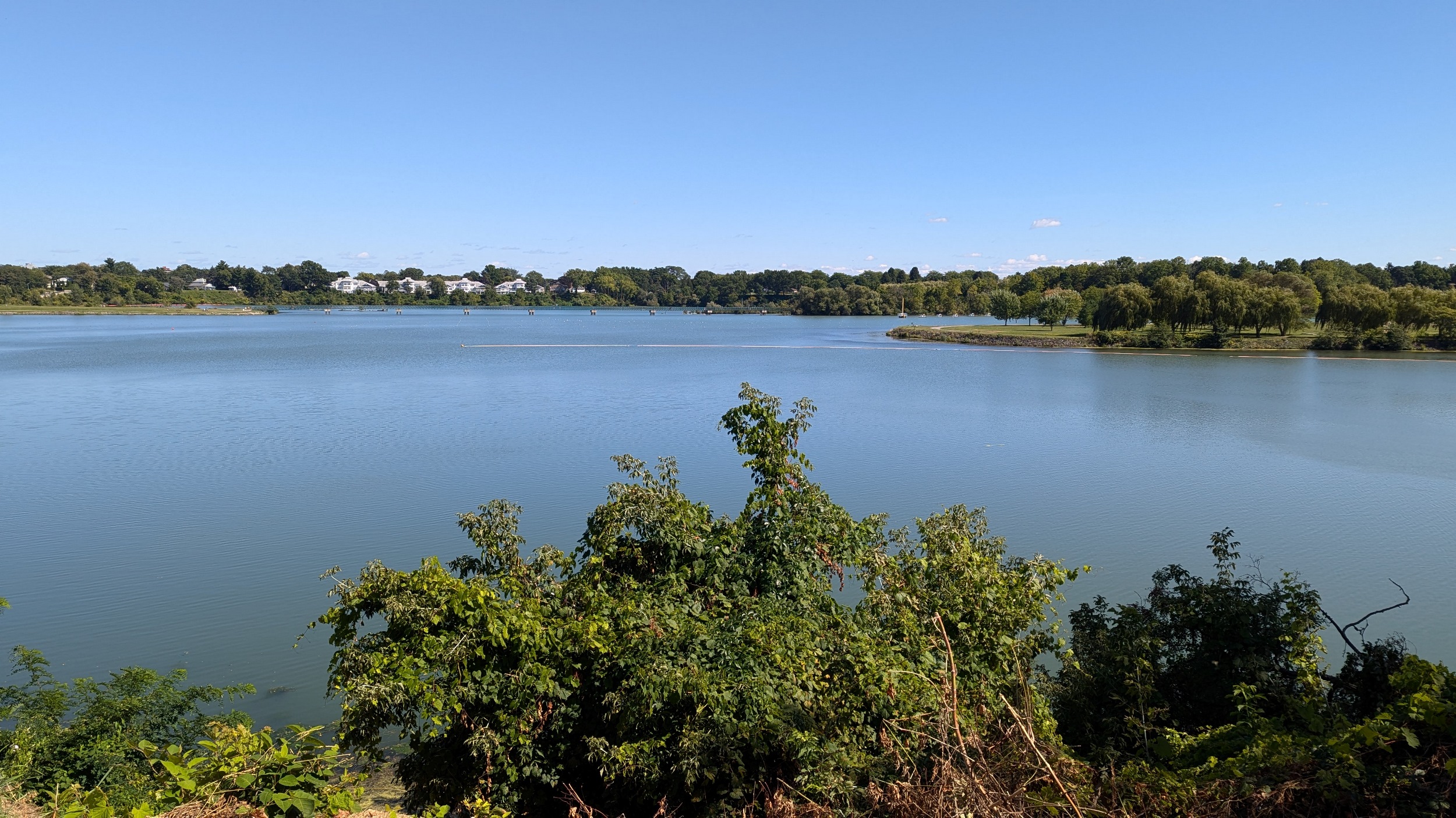
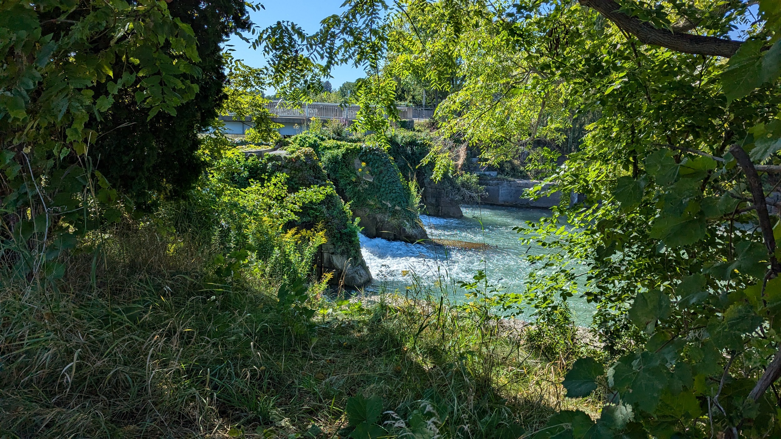
Twelve Mile Creek and its watershed have been highly altered as a result of the Welland Canal and hydroelectric power. While the canal can be considered a bounding east edge of the watershed, in reality, water is often fed from the Welland Canal into the Lake Gibson reservoir system. Discharges from the two generating stations making flows along the lower reaches of the creek insanely strong and dangerous. Then, downstream of the QEW, another dam has created Martindale Pond, which doubles as a rowing course.

These two watersheds, combined with the Welland River and Niagara River, comprise the 4 primary watersheds in urbanized east Niagara, covering 357 square kilometres (86%) of the region.
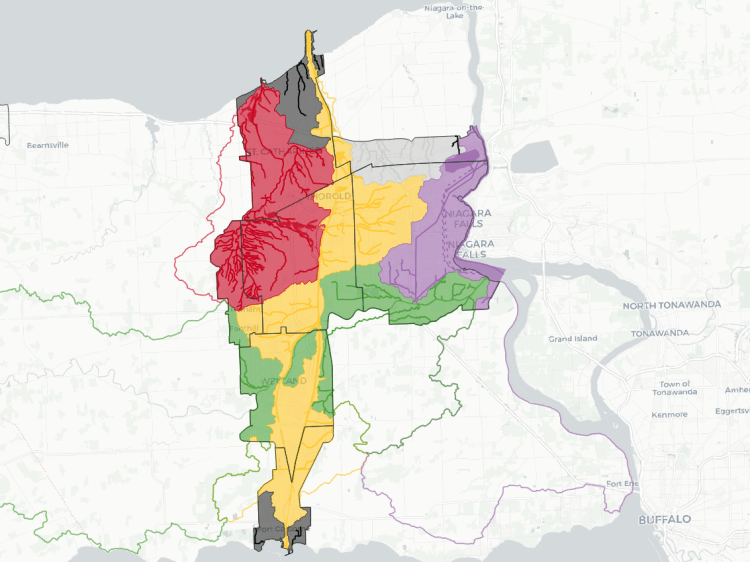
Interstitial watercourses in Port Dalhousie and Port Colborne make up almost 8% of the urban area. The remaining 26 square kilometres (6%) is limited to the Virgil Drains, a drainage system for agricultural and specialty crop lands in Niagara-on-the-Lake.
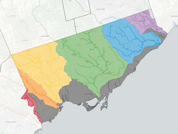
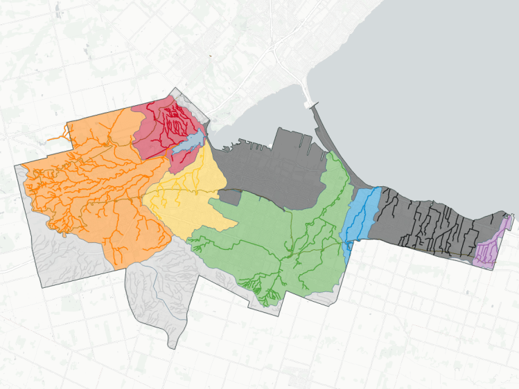
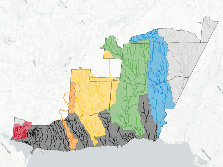
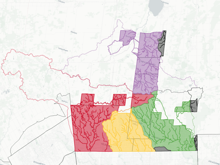
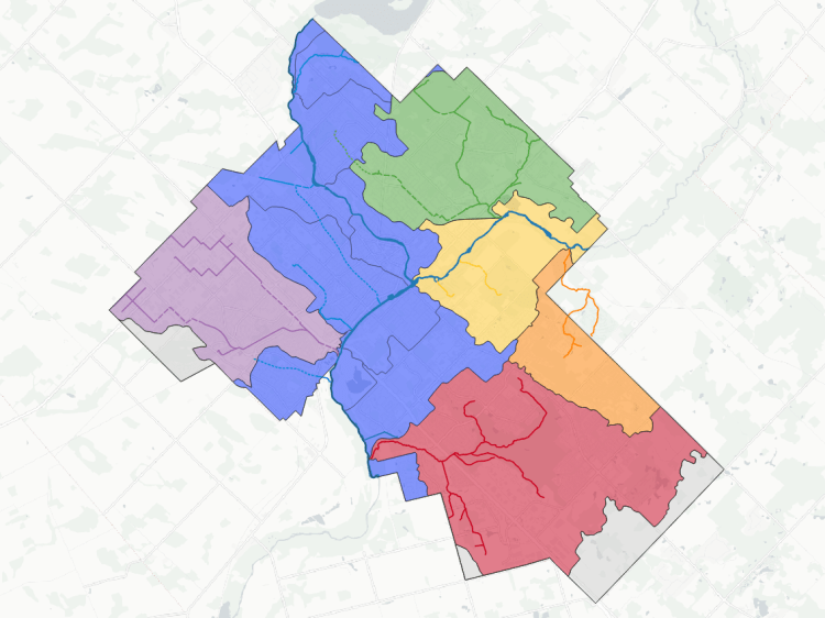
The map below shows the boundaries of these watersheds. Overtop of that, I have mapped the numerous watercourses within them.
This is a work in progress. See a mapping error? Have a name to put to an unnamed tributary? Please feel free to send me comments.
Notes and Disclaimers
- This data was created with the support of roadway, natural feature, and administrative boundary data from various open data portals, as well as digital terrain information from the Ontario GeoHub, made available under the Open Government Licence – Ontario Licence v1.0.
- This is interpretive and not based on a full qualified assessment of surface and groundwater resources. Although I cross-referenced with other sources, including Hamilton’s storm sewer network, this may not fully capture or may misinterpret some dynamics. Therefore this data is provided ‘as is’; please refer to additional disclaimers at the Open Data page.
- While this page advocates for greater public access, not all watercourses are publicly accessible. Please observe all signage respecting access and refrain from travelling off established trails, for your health and safety, as well as the integrity of local ecosystems.
Open Data
This dataset is available in multiple formats through the Open Data Portal

Watersheds in Other Cities