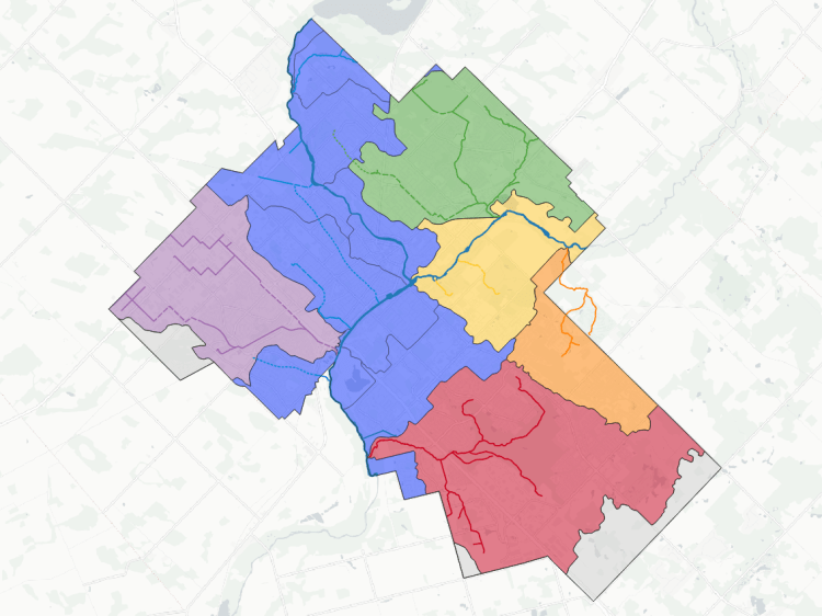
The tri-cities are the most populous urban area in the Grand River watershed. The Grand River flanks or cuts through the city boundaries, serving as the trunk watercourse for 6 main watersheds: Laurel Creek, Schneider Creek, Blair Creek, Speed River, Mill Creek and Moffat Creek.
The “main” watersheds are generally over 10 square kilometres, and cover 66% of the Tri-Cities. There are also 14 intermediate and small creeks covering 16% of the urban boundary. Another 12% is interstitial drains, and the remainder is directed to watercourses that meet the Grand River upstream or downstream of the Tri-Cities.
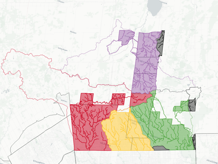
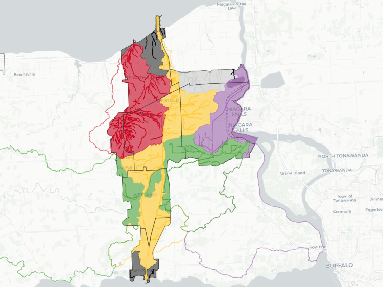
This map shows rough boundaries of the watersheds. Overtop of that, I have mapped the numerous watercourses within them. This is built after a similar resource I made for myself in Toronto, so I could remember the name of whatever I was following.
This is a work in progress. See a mapping error? Have a name to put to an unnamed tributary? Please feel free to send me comments.
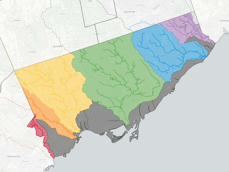
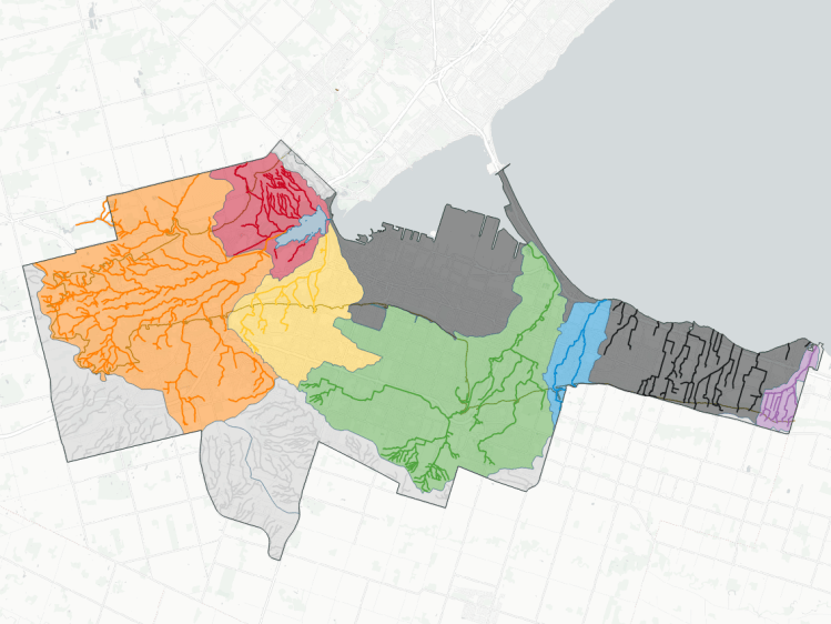
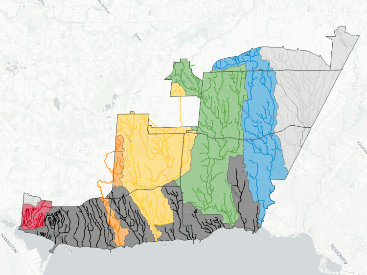
Watersheds in Other Cities