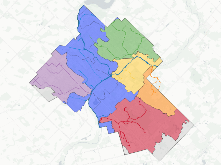
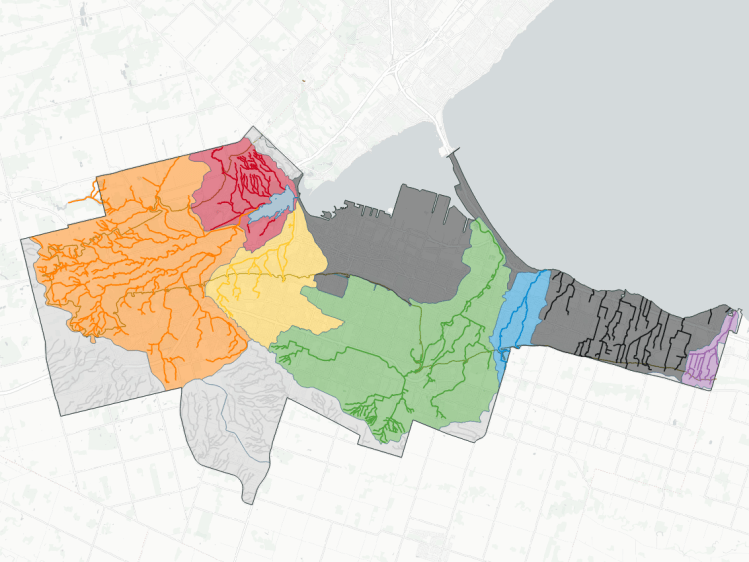
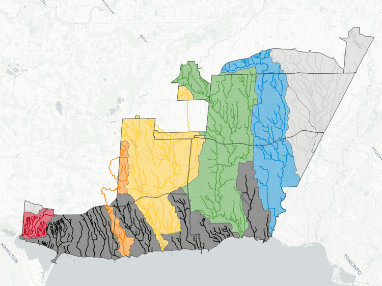
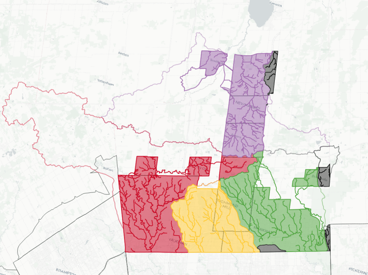
Toronto is covered by vast ravines and numerous creeks, all of which are part of 6 main watersheds: Etobicoke Creek, Mimico Creek, Humber River, Don River, Highland Creek and Rouge River. Together, they cover over 80% of the city, and the main rivers are large; 40-90% of the Etobicoke, Mimico, Humber, Don, and Rouge watersheds for upstream of the city borders.
Interstitial drainage has largely been sewered over Toronto’s history, so fewer than a dozen open watercourses remain. But the interstitial drainage area covers most of the remaining 20% of the city, with a chunk of that accounted for in the Toronto Islands, Ontario Place and Tommy Thompson Park. A small northeastern corner of the city is covered by Petticoat Creek, which drains externally into Durham Region.
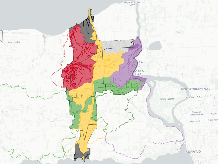
The map below shows the boundaries of these watersheds. Overtop of that, I have mapped the numerous watercourses within them.
This is a work in progress. See a mapping error? Have a name to put to an unnamed tributary? Please feel free to send me comments.
- This data was created with the support of roadway, natural feature, and administrative boundary data from the City of Toronto Open Government Licence v1.0, TRCA Open Data Licence v1.0 as well as digital terrain information from the Ontario GeoHub, made available under the Open Government Licence – Ontario Licence v1.0.
- This is interpretive and not based on a full qualified assessment of surface and groundwater resources. Although I cross-referenced with other sources, including storm sewer networks, this may not fully capture or may misinterpret some dynamics. Therefore this data is provided ‘as is’; please refer to additional disclaimers at the Open Data page.
- While this page advocates for greater public access, not all watercourses are publicly accessible. Please observe all signage respecting access and refrain from travelling off established trails, for your health and safety, as well as the integrity of local ecosystems.

Open Data
This dataset is available in multiple formats through the Open Data Portal

Watersheds in Other Cities