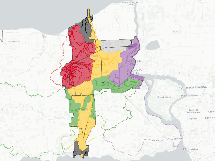
Compared to a large city on Lake Ontario, Guelph is quite different when it comes to analyzing watersheds, as it’s all on a smaller scale. When I moved from Toronto the the Tri-Cities, it was a big eye-opener for me, as these differences had a direct impact on the lay of the metroscapes. Those differences continue as you shift to a city the size of Guelph.
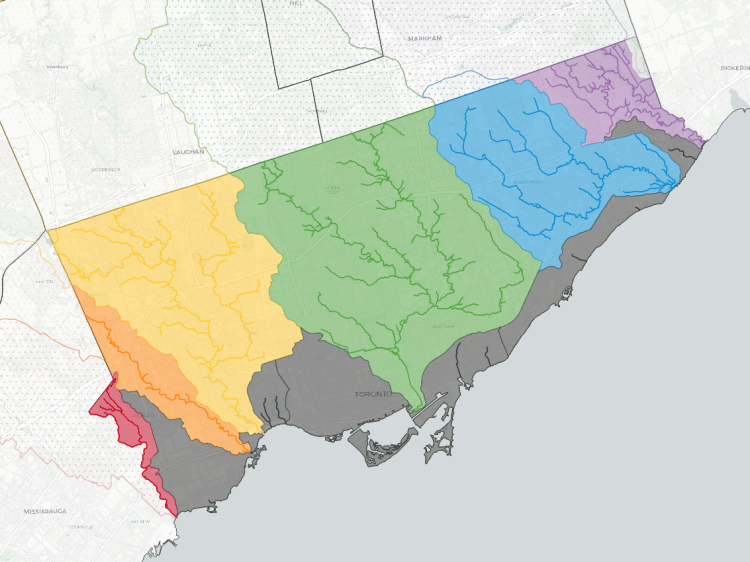
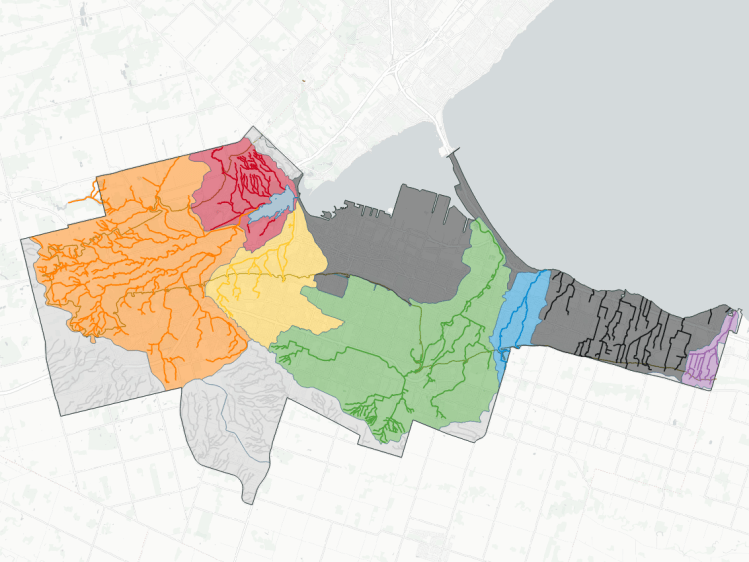
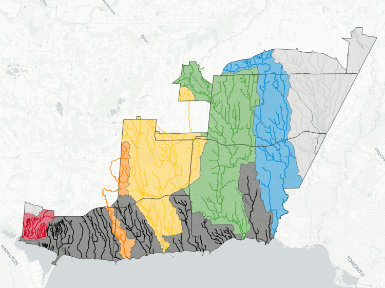
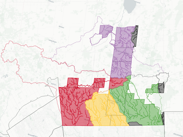
As a recap, Toronto is bounded by a great lake with 6 major rivers and creeks feeding into it. Hamilton is similar, albeit the creeks flow over the escarpment. The Tri-Cities are along one major river, and has 6 significant tributaries feeding into it. It’s a downscaling that, combined with way different hydrogeology and urban timelines, really varies the metroscapes.
Guelph is yet another downscale. It is intersected by two major rivers: the Speed River, the main trunk through the middle of the city, and the Eramosa River, a major tributary of the Speed to the east. The Speed runs out of town to the southwest, crossing into Cambridge and meeting the Grand River (the major river along the Tri-Cities).
There are 4 significant tributaries and their watersheds, which cover over half of the urban area: Willow, Clythe, Torrance and Hanlon Creeks. 40% is the interstitial drainage feeding into the Speed and Eramosa Rivers, and the remaining 5.6% goes to external watersheds.
See a mapping error? Have a name to put to an unnamed tributary? Please feel free to send me comments.
Notes and Disclaimers
- Some of this data was remixed from watercourse data from the Grand River Conservation Authority, made available under the GRCA Open Data Licence v2.0, as well as digital terrain information from the Ontario GeoHub, made available under the Open Government Licence – Ontario Licence v1.0 (refer to the Metroscapes Open Data changelog for dates).
- This is interpretive and not based on a full qualified assessment of surface and groundwater resources. Although I cross-referenced with other sources, this may not fully capture or may misinterpret some dynamics. Therefore this data is provided ‘as is’; please refer to additional disclaimers at the Open Data page.
- While this page advocates for greater public access, not all watercourses are publicly accessible. Please observe all signage respecting access and refrain from travelling off established trails, for your health and safety, as well as the integrity of local ecosystems.

Open Data
This dataset is available in multiple formats through the Open Data Portal

Watersheds in Other Cities