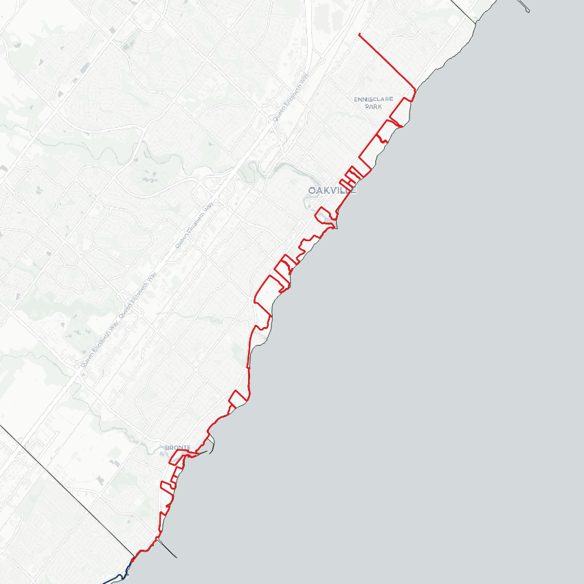
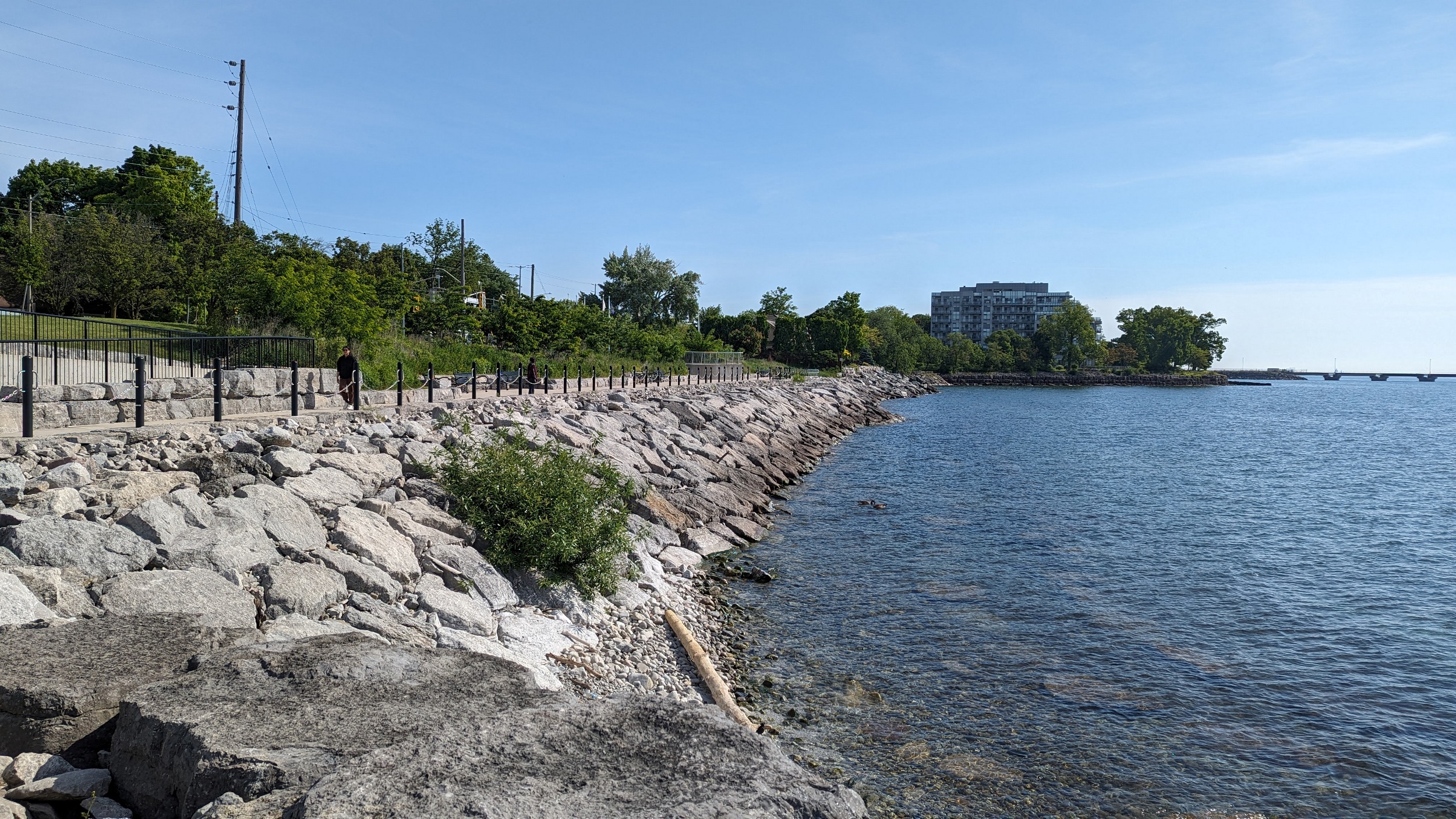
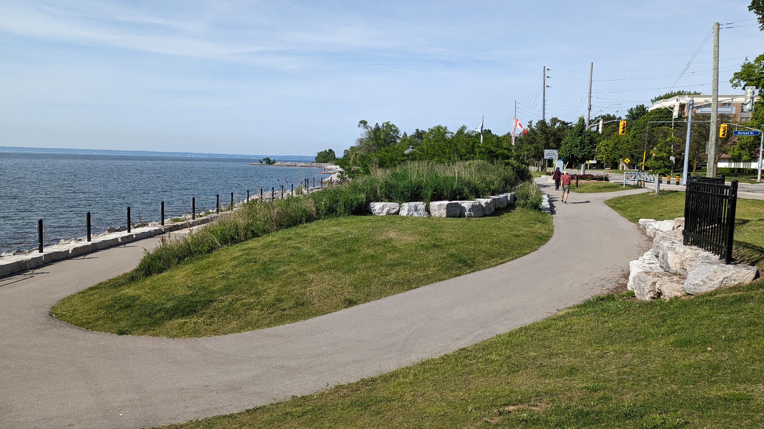
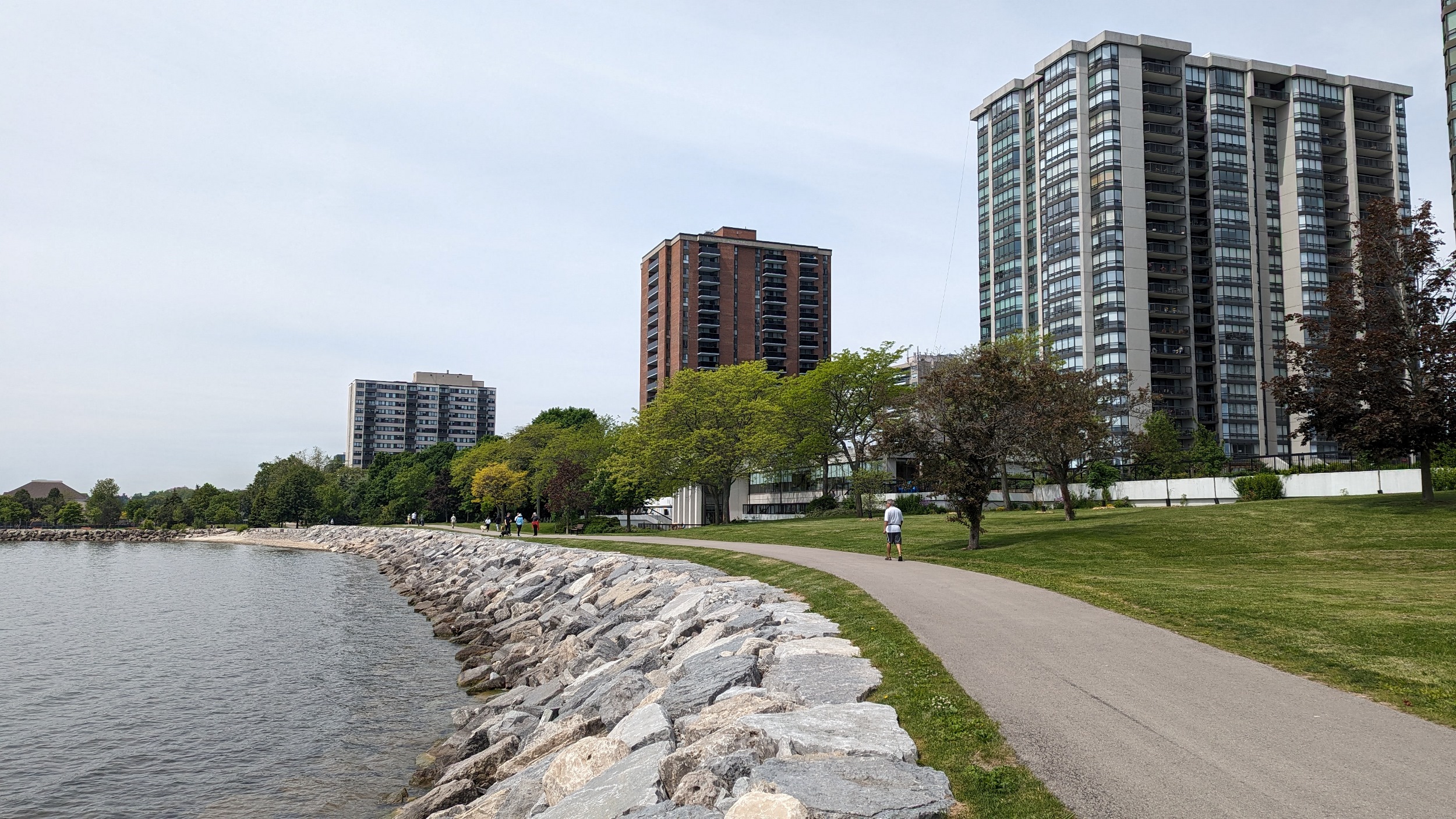
Good morning from Burloak Park. I’ll be following Oakville’s shoreline, from the west border with Burlington, and heading east. Let’s go.

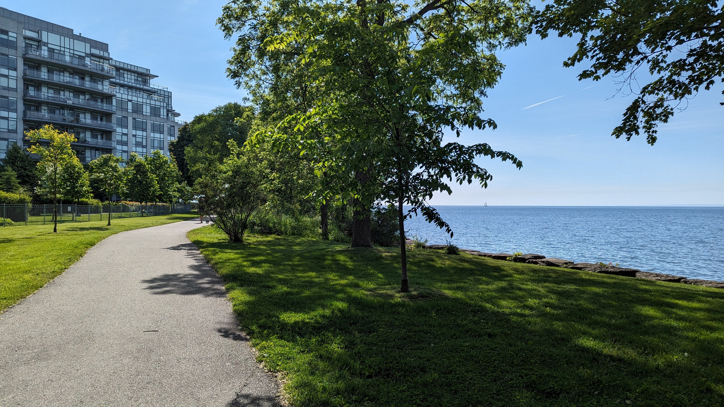
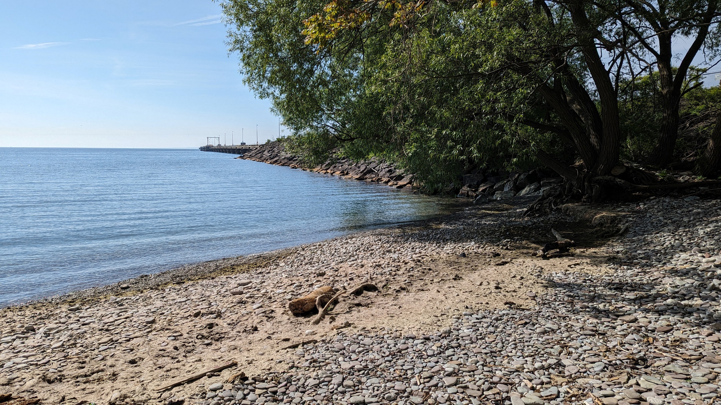
After a brief detour, the lakeside trail continues behind some condos and leads to South Shell Park. This is a pier for Suncor to export refined fuels to ships. The pier is restricted, but the parkland around it is nice.

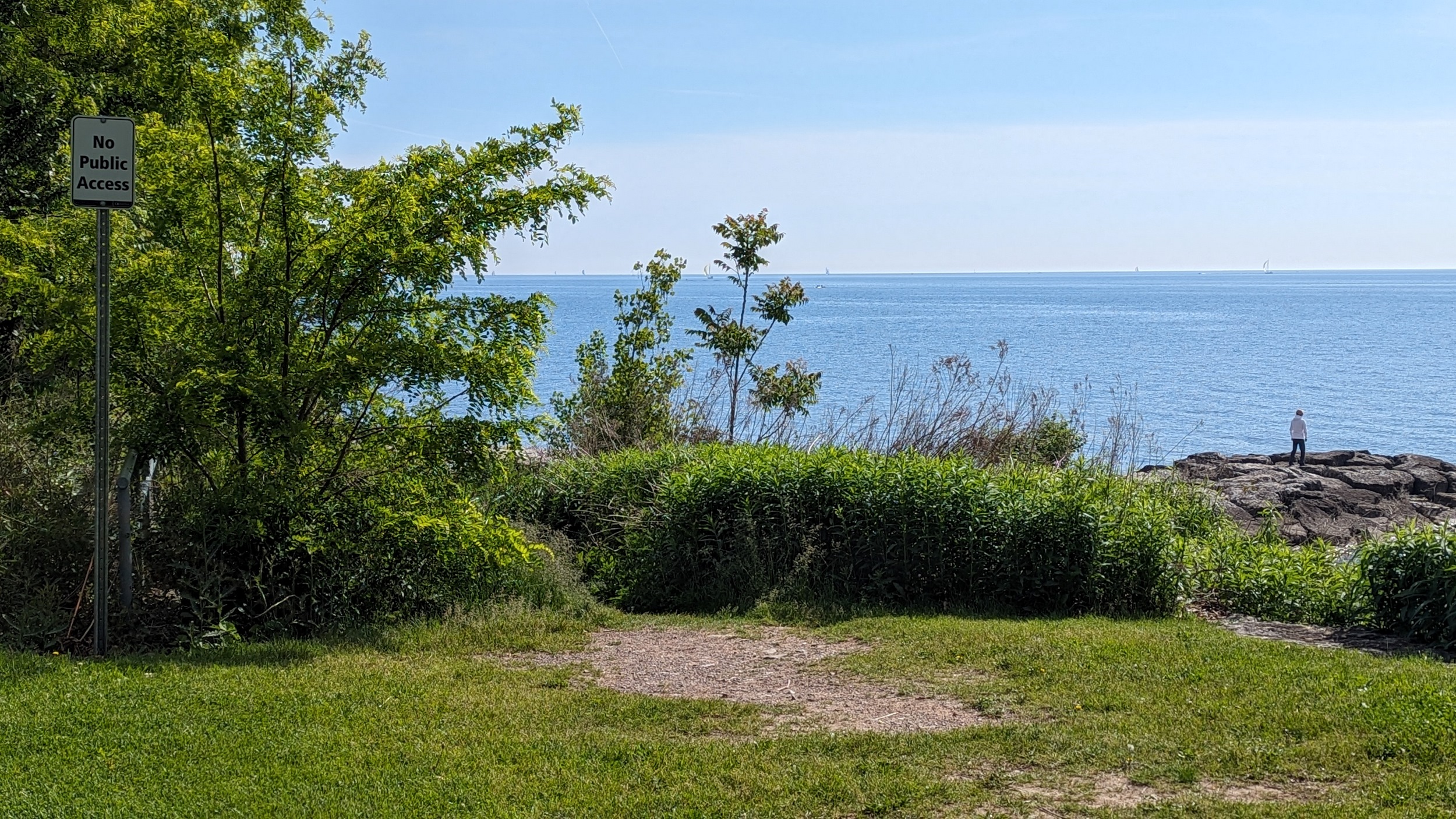
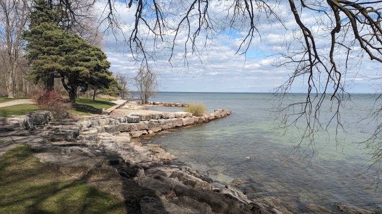
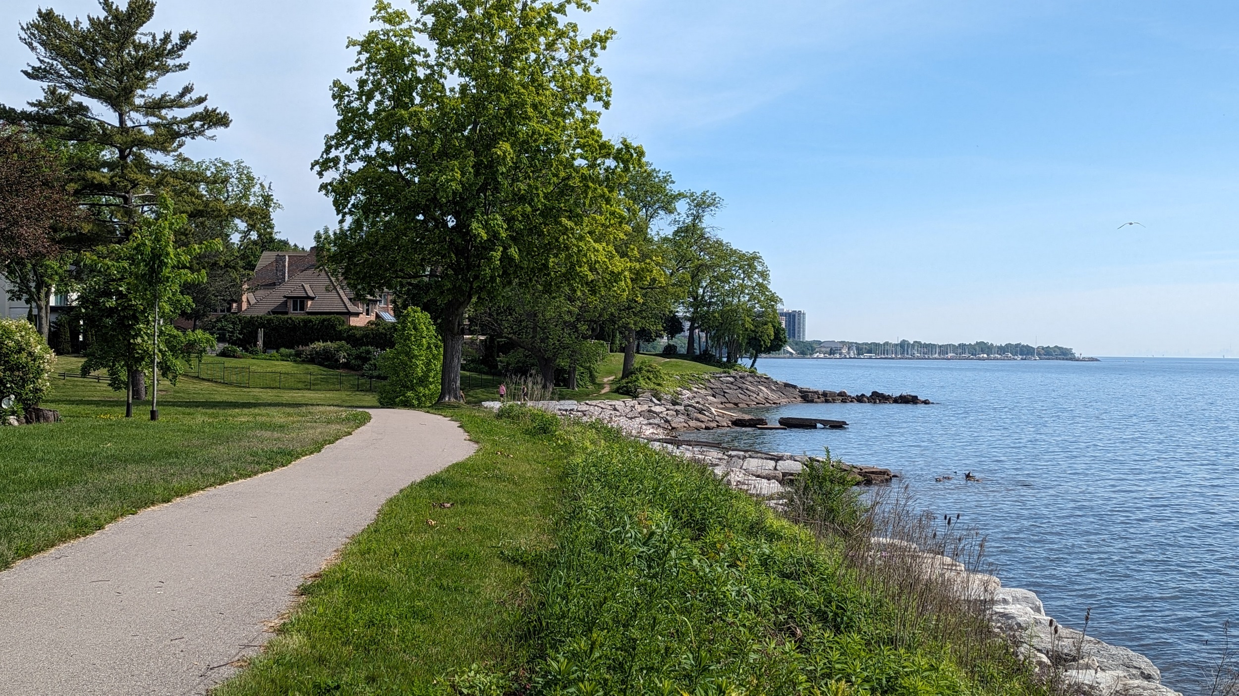
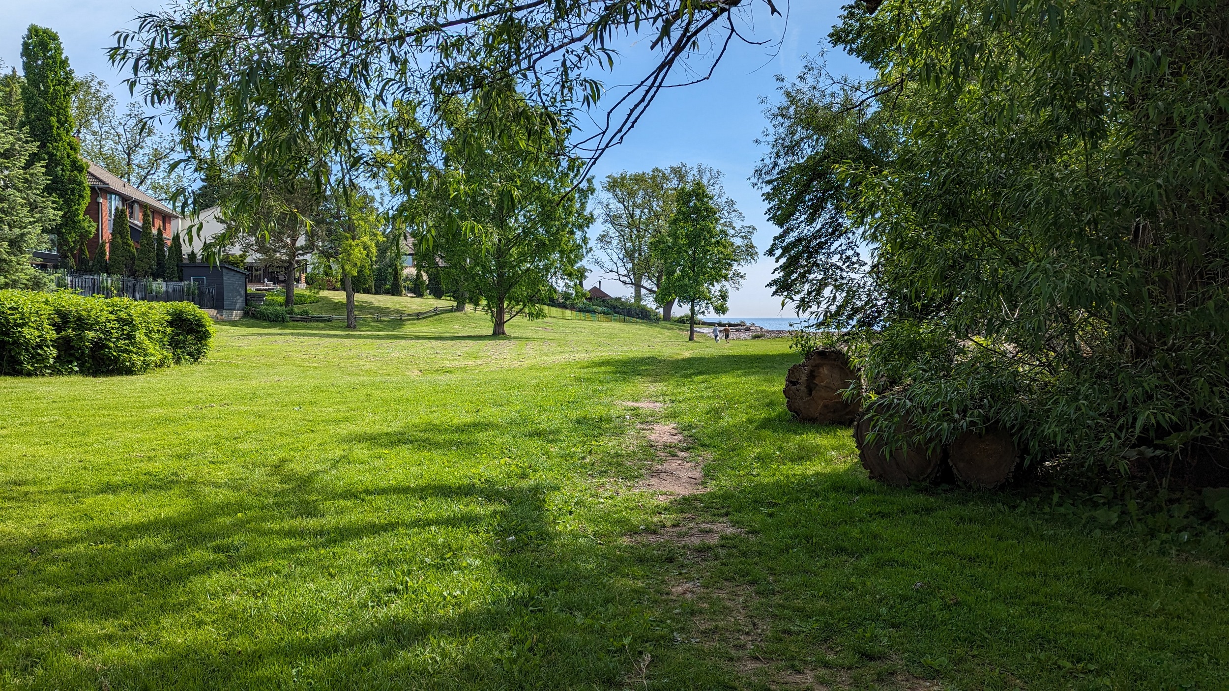
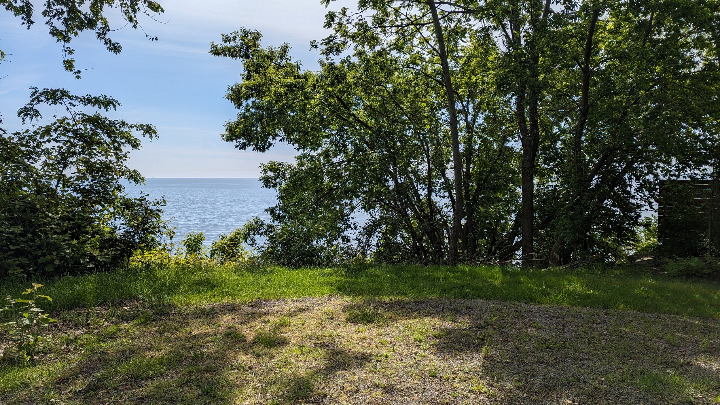
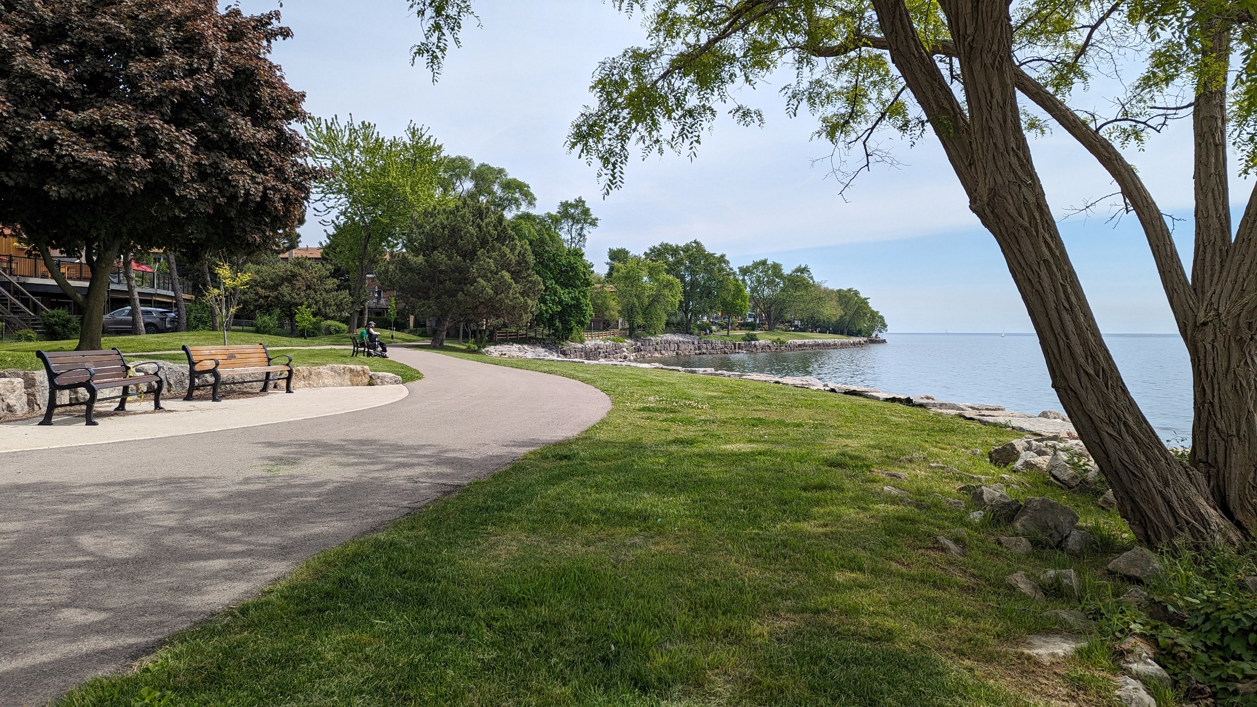
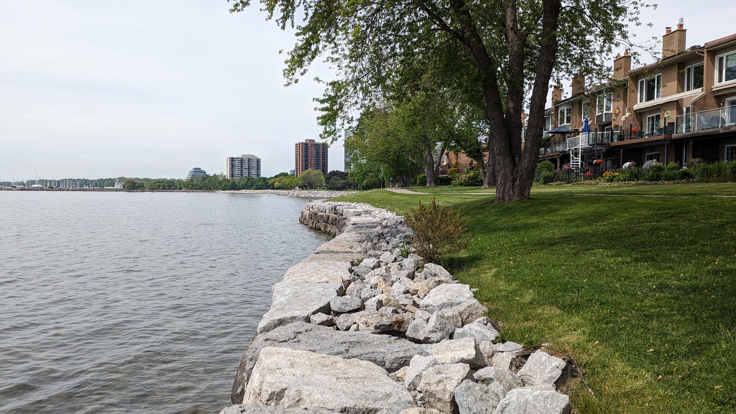
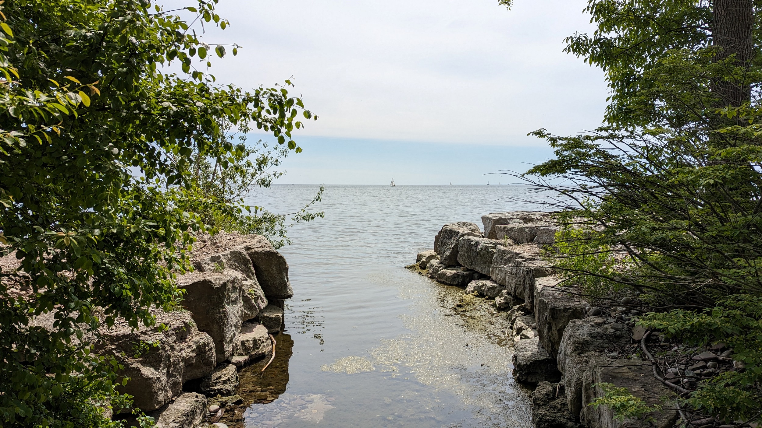
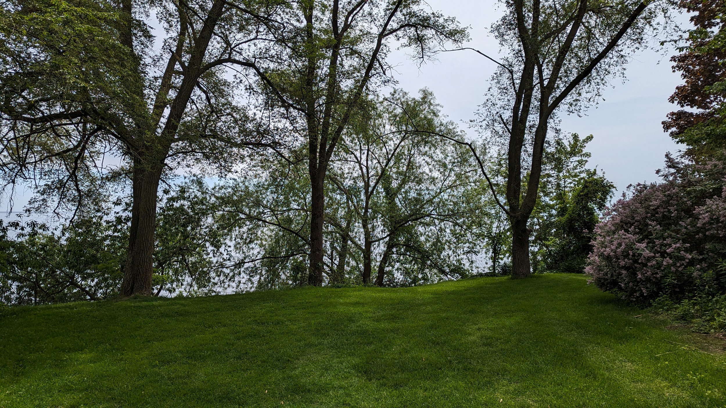
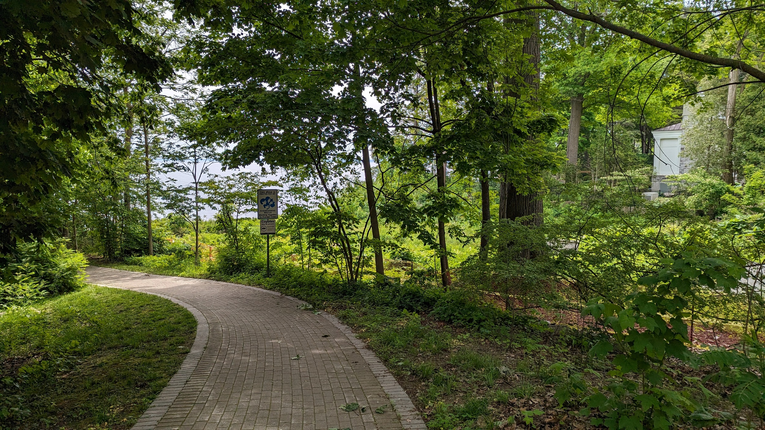
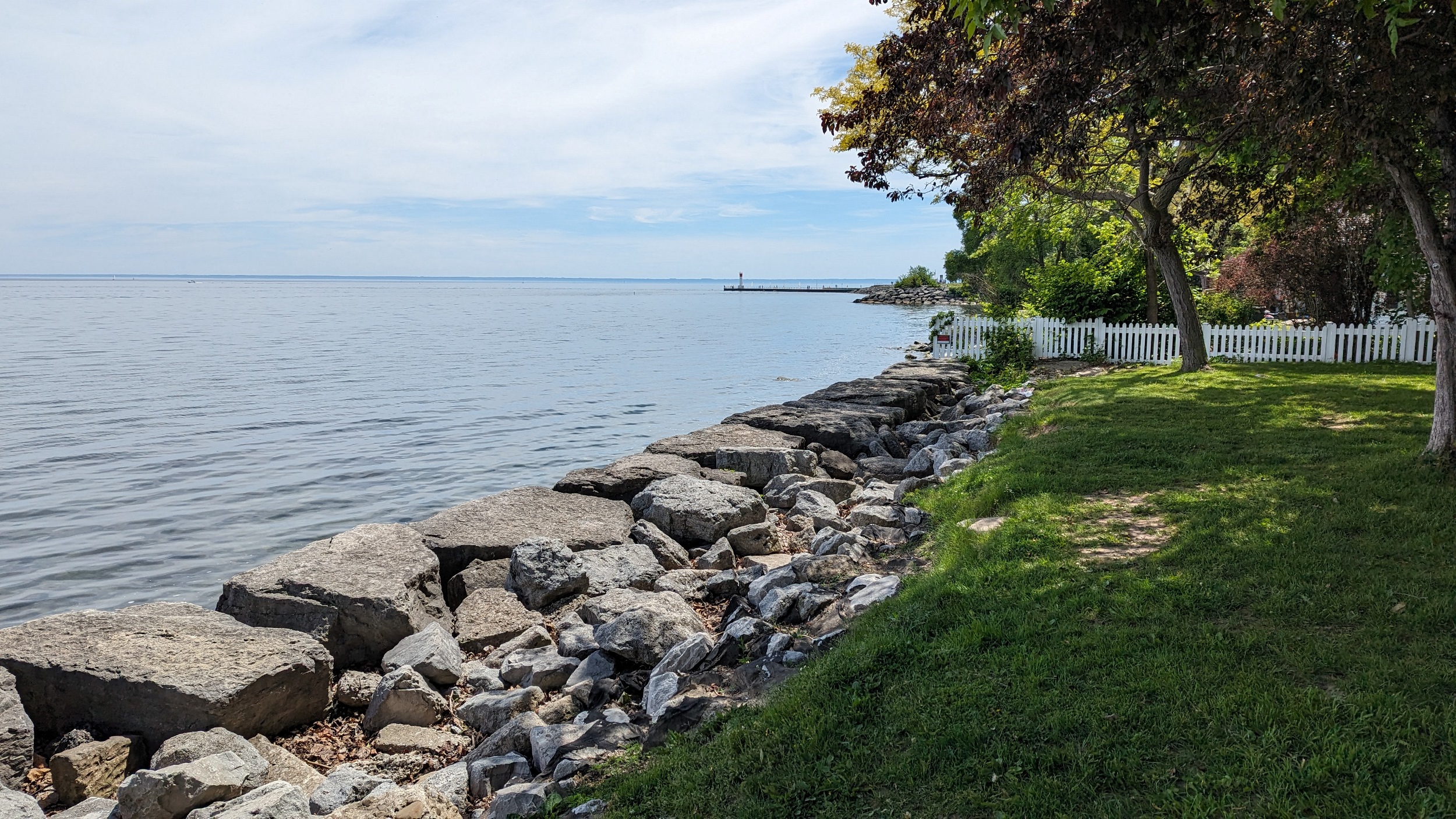
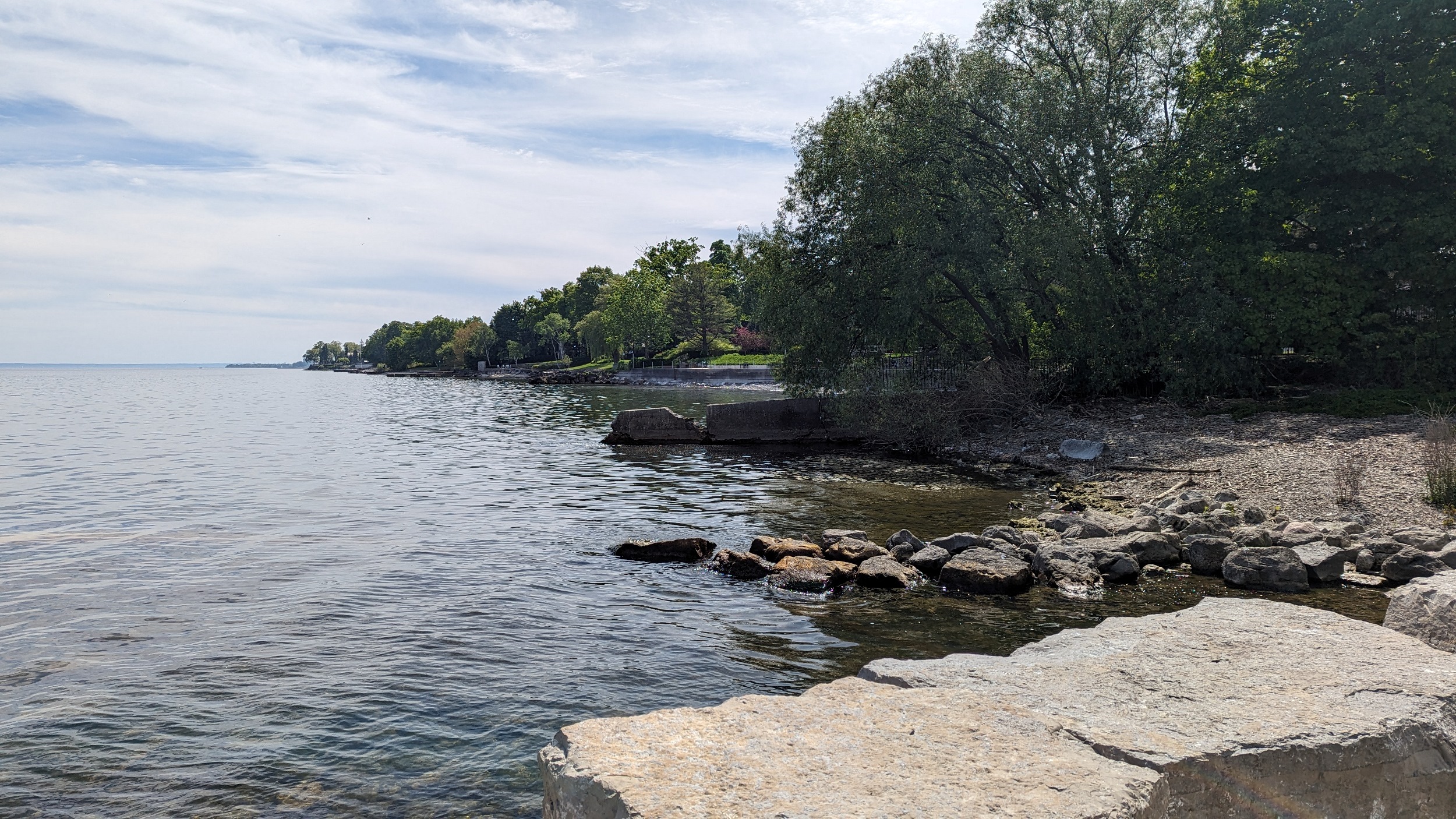
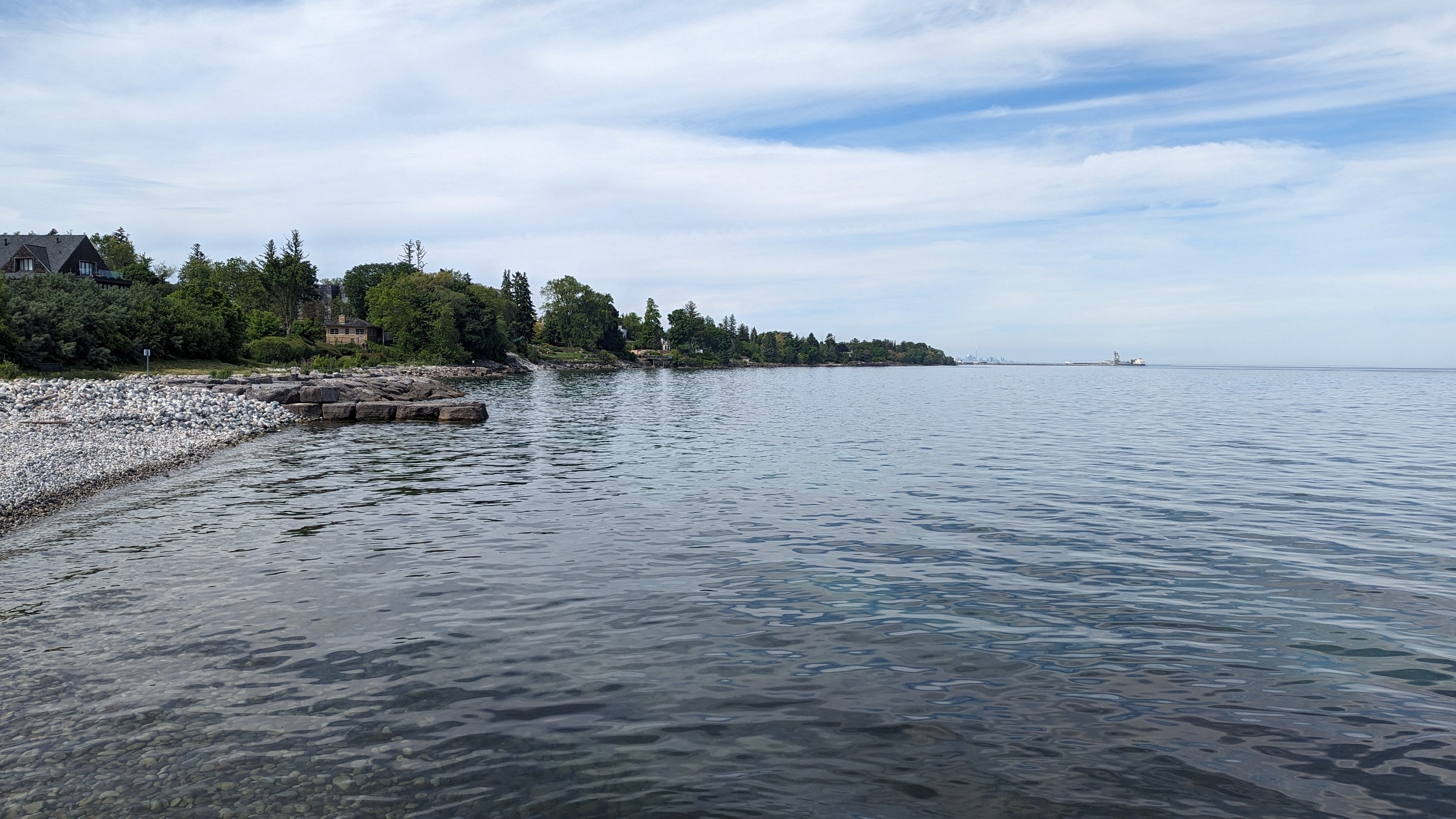
I had presumed Oakville, a land of higher income, would have less public access to the shoreline. I was wrong. Shelburne Park is a good example of what the town is doing: establishing new promenades behind what still are grand beautiful houses with a view. It’s a great oasis.
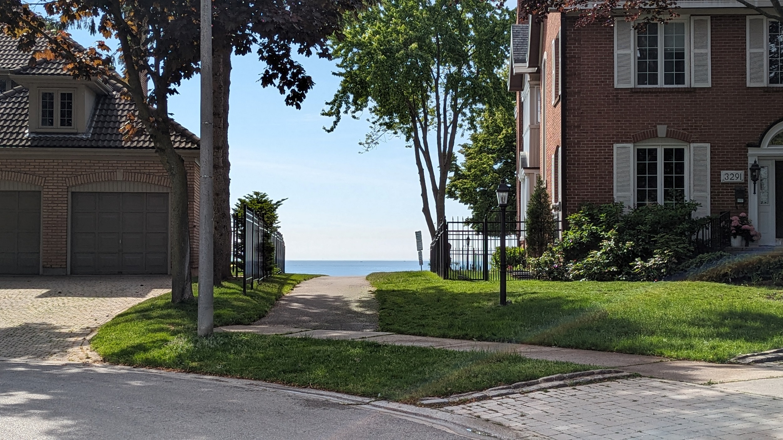
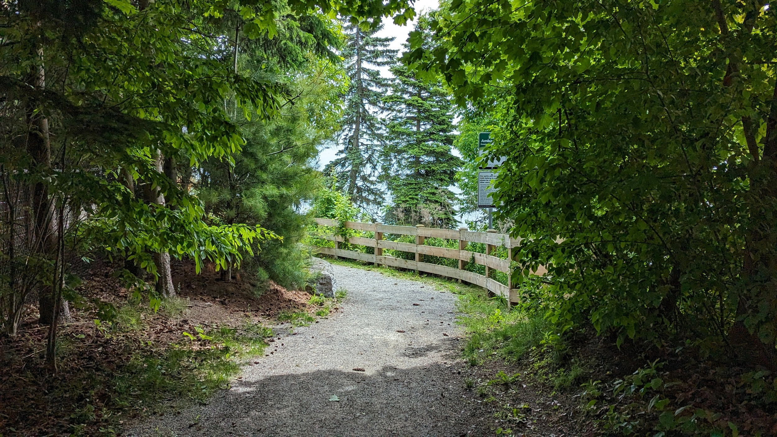
The promenade thing is a work in progress. This one behind Bronte Cemetery only goes a couple blocks before you hit some private property, fracturing public access to roadway rights-of-way. But so far it’s better than what I saw in Burlington.

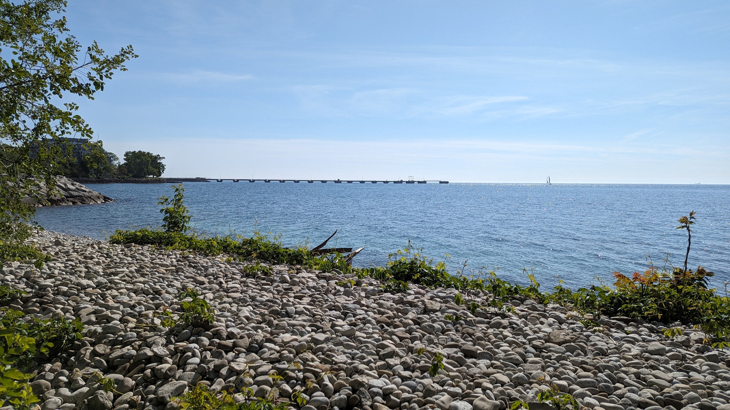
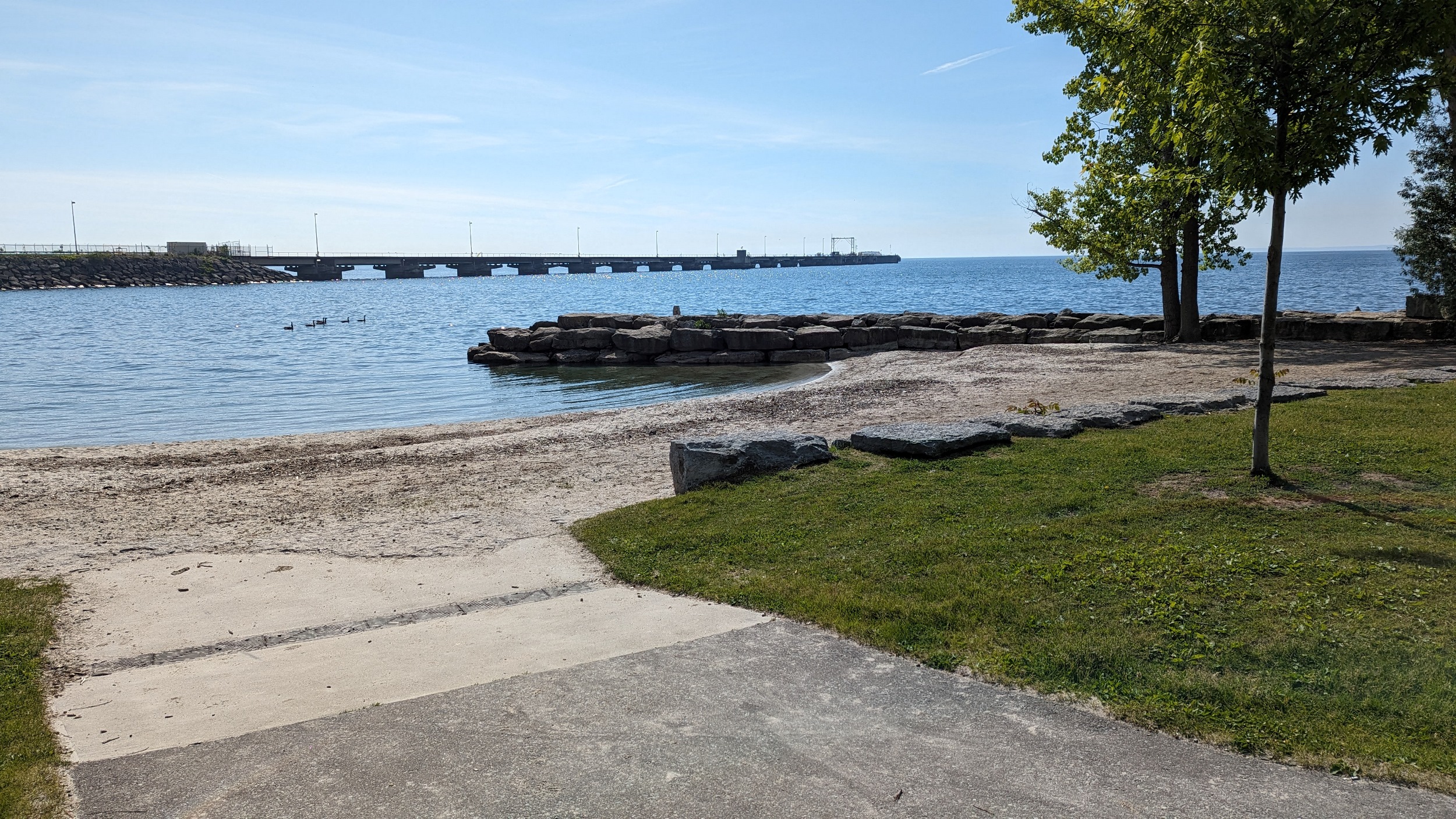
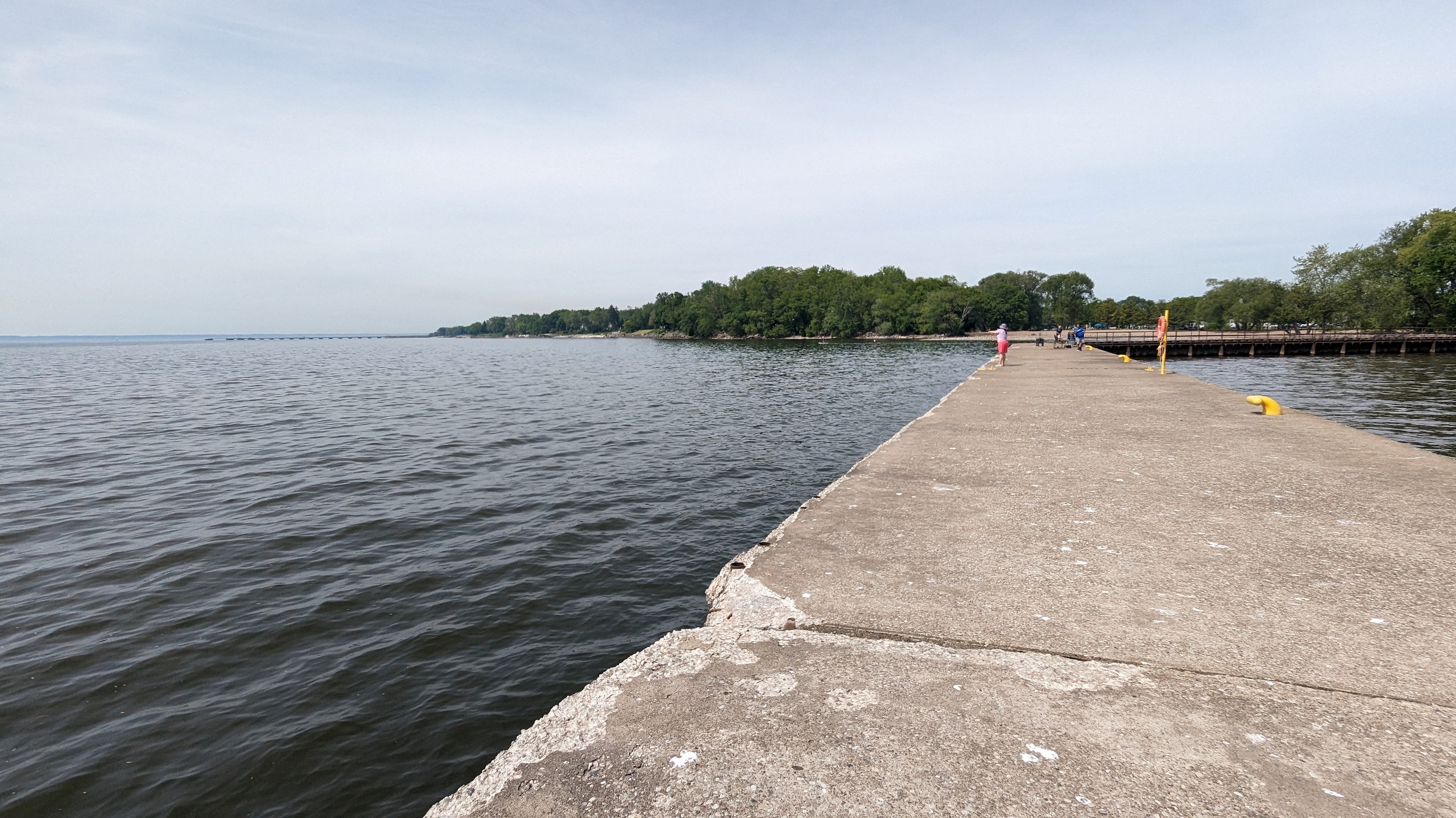
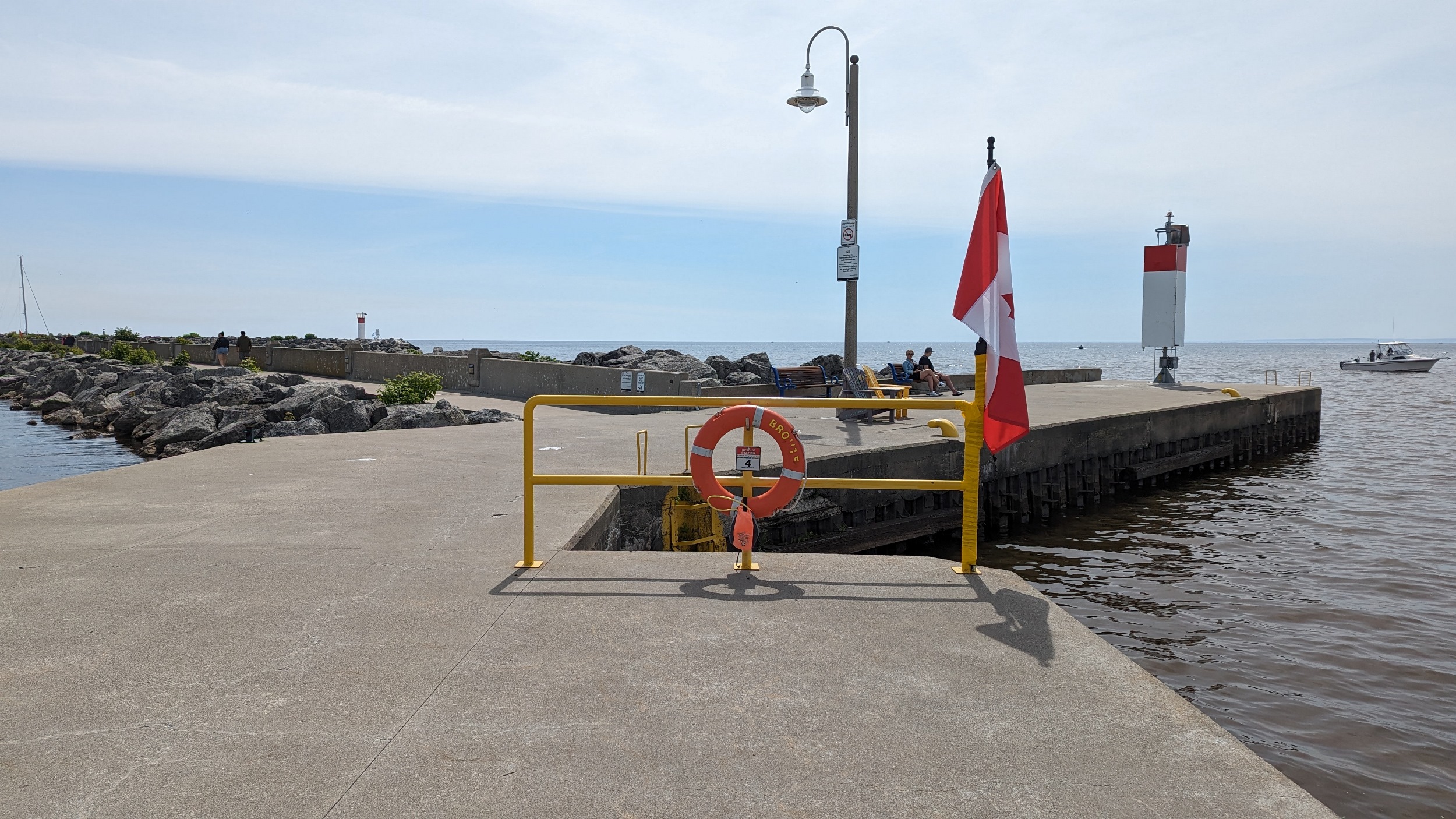
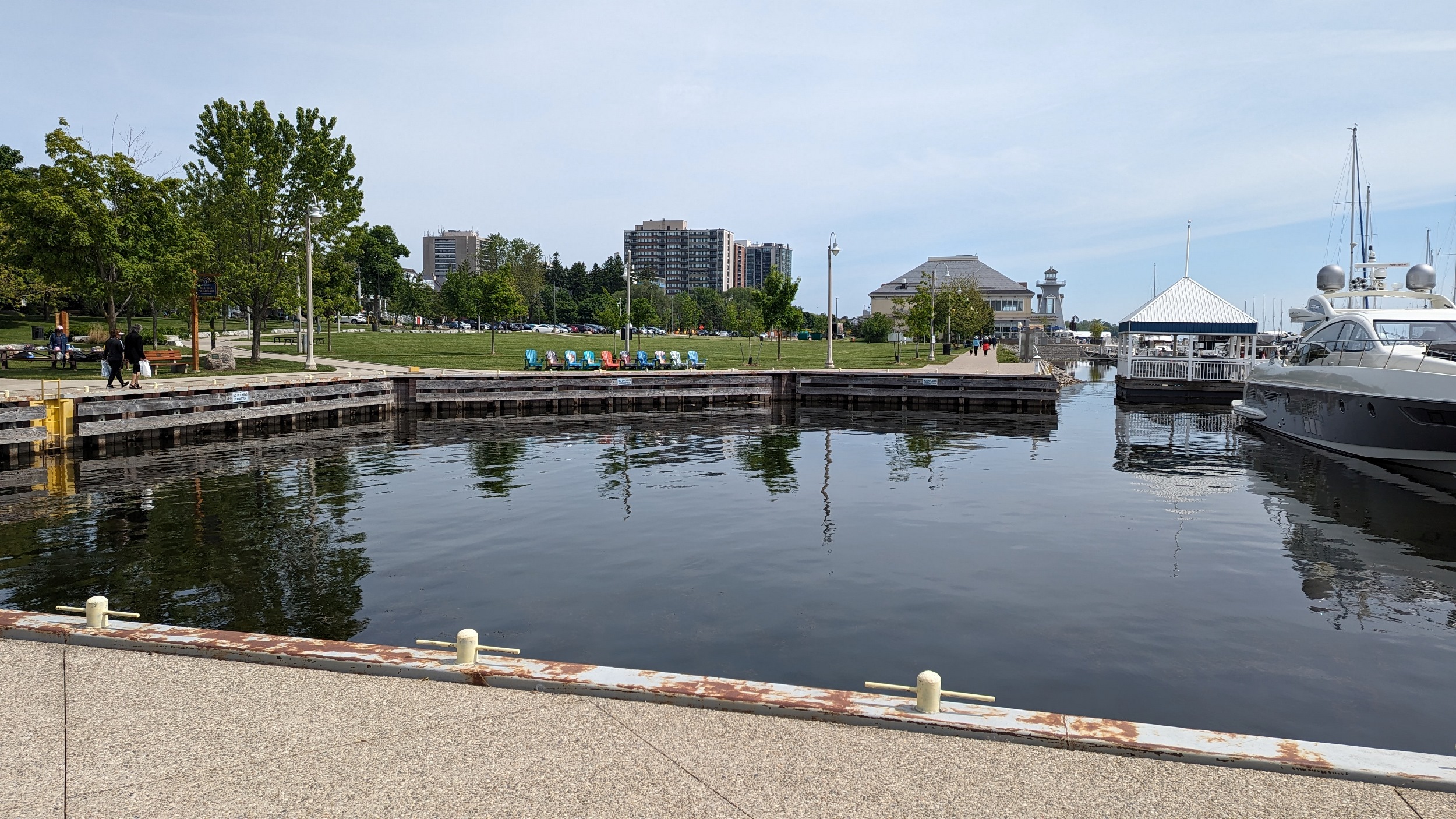
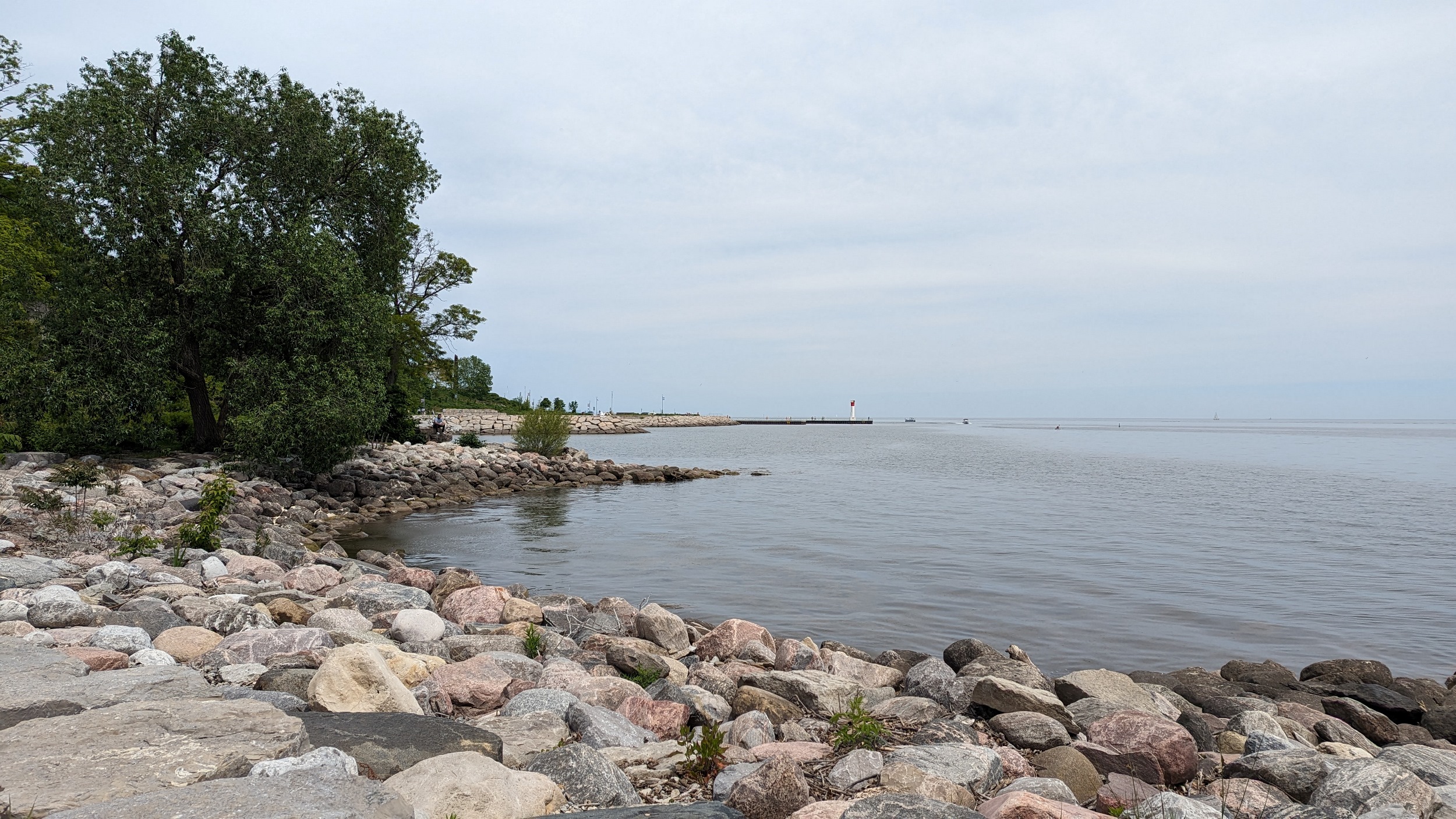
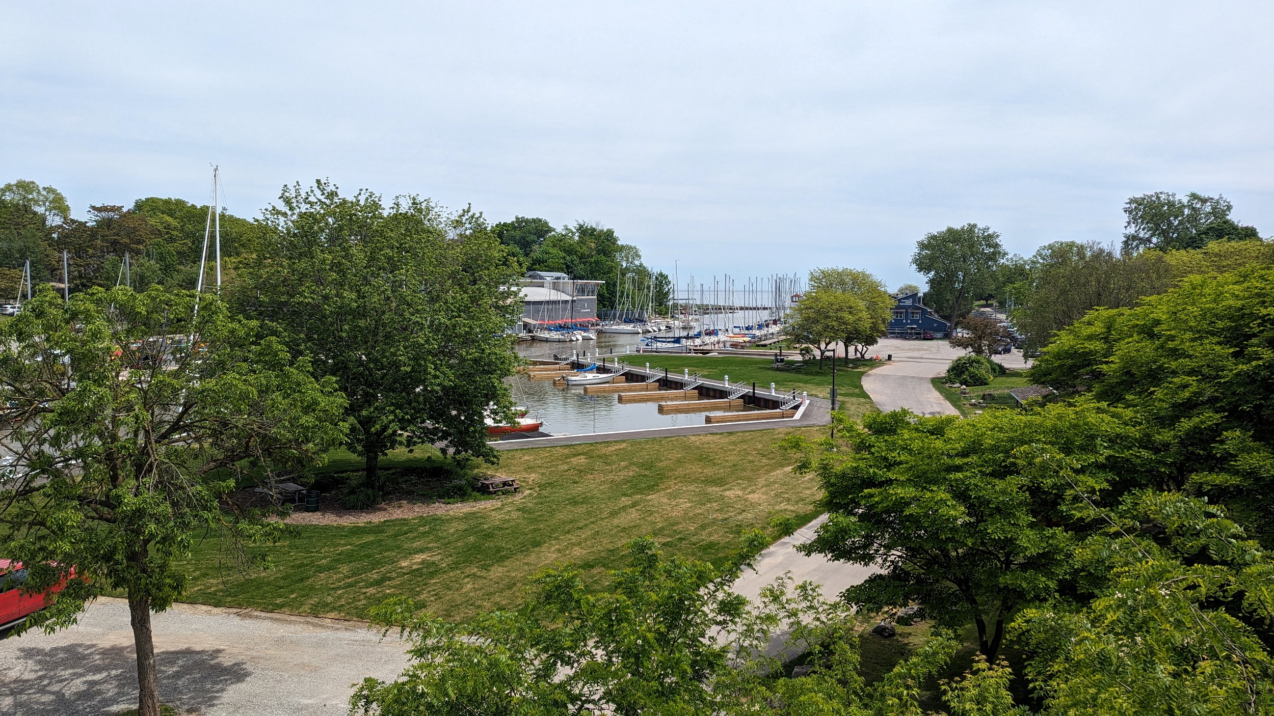
Bronte Bluffs. Not sandy, just a steep hill. Then onto the beach at Bronte Harbour. A rickety catwalk on top of a seawall can take you out to the end of the west pier. Then it’s a jog up to get around the marina and over Bronte Creek. Bronte Bronte Bronte.


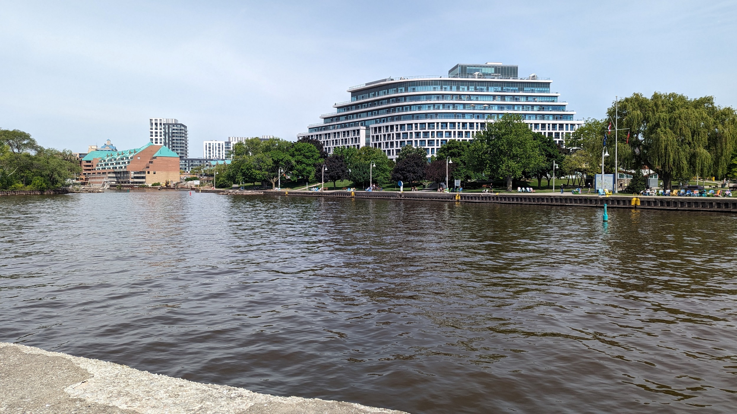
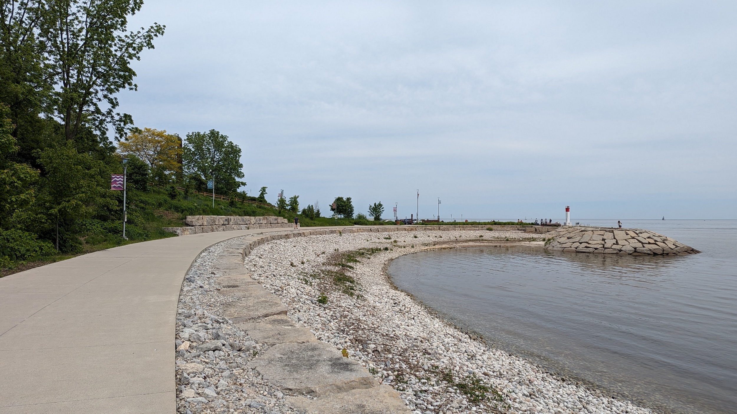
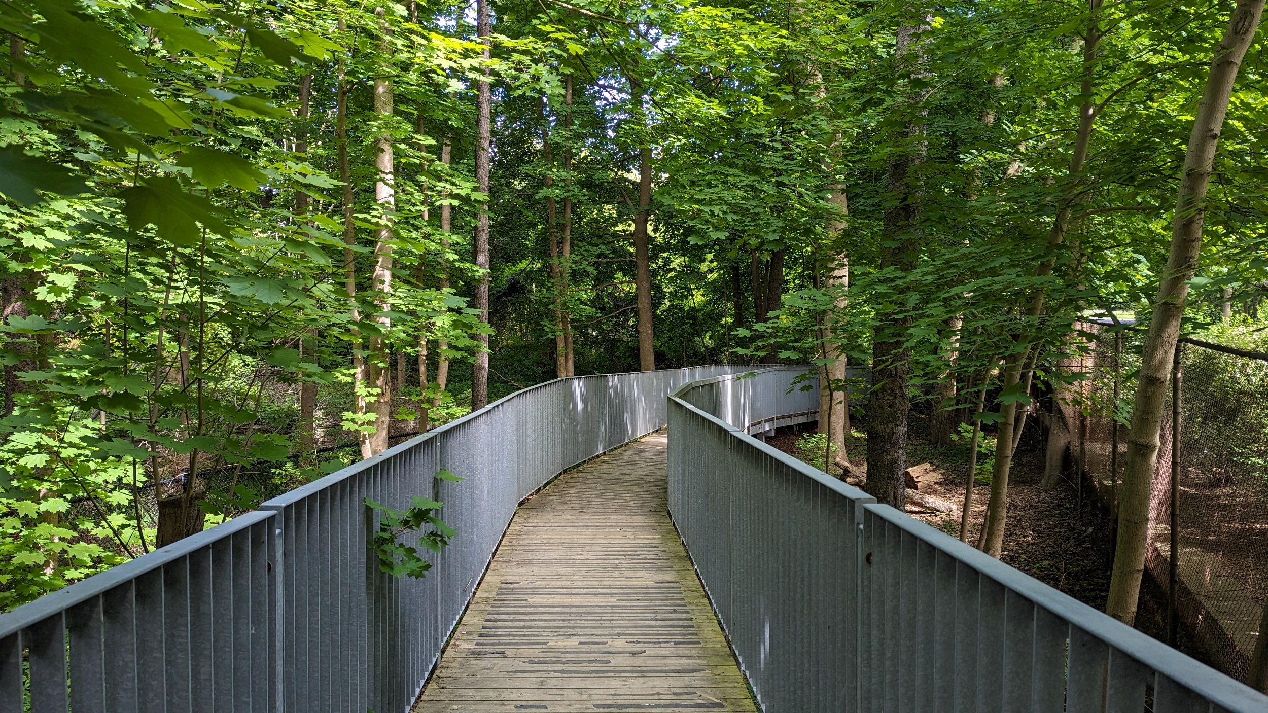
Over the creek to the east pier. New boardwalk currently in progress. A long stretch of public access continues through public parkland.
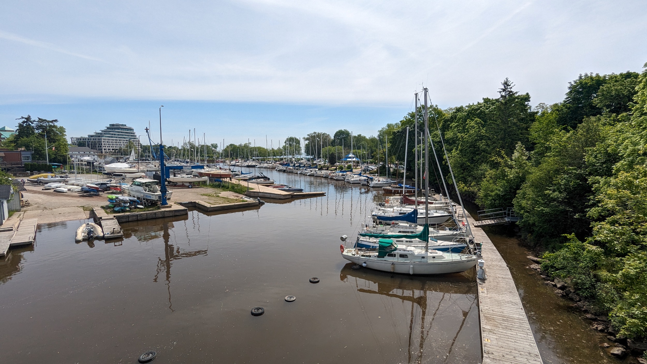

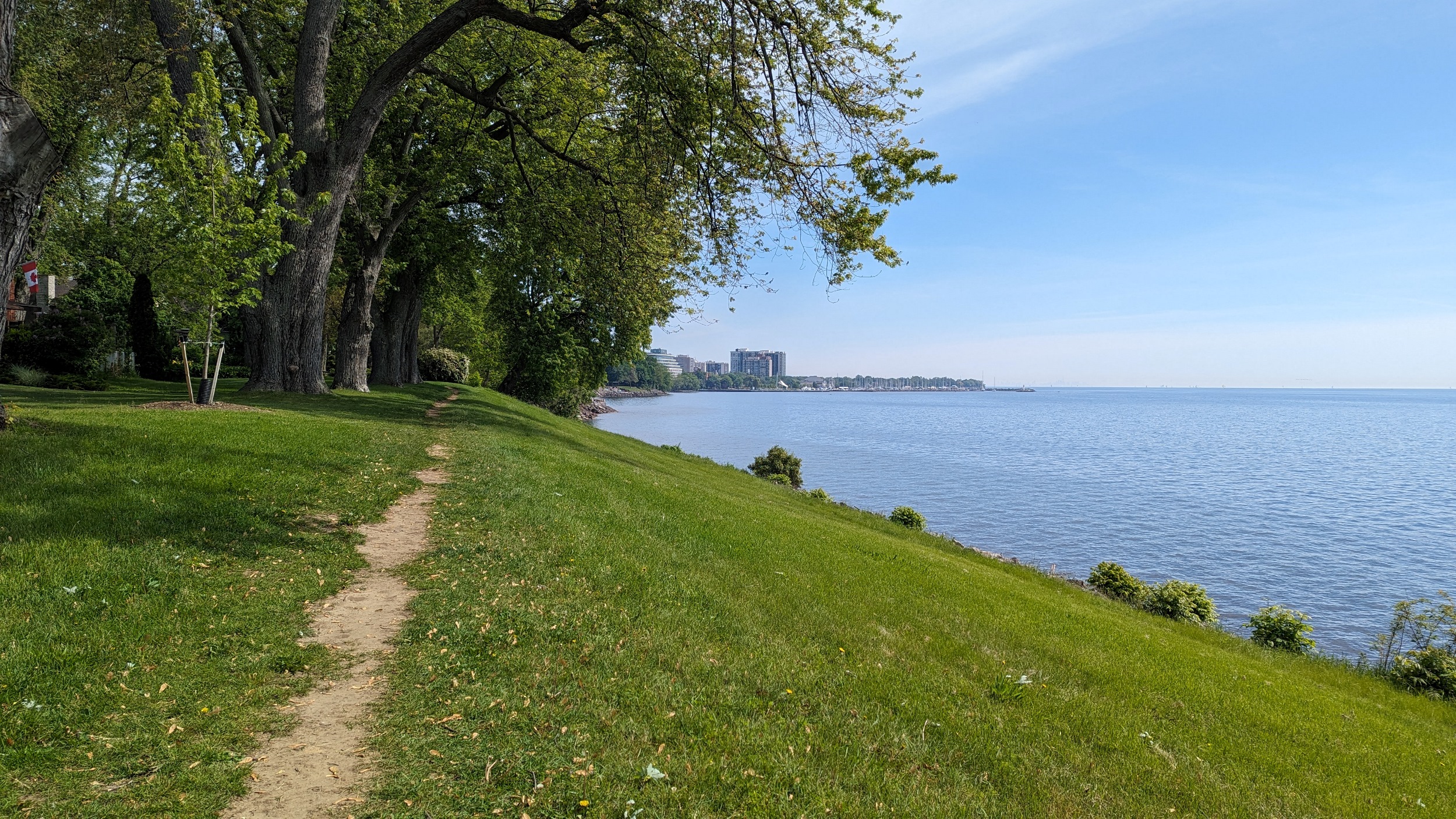
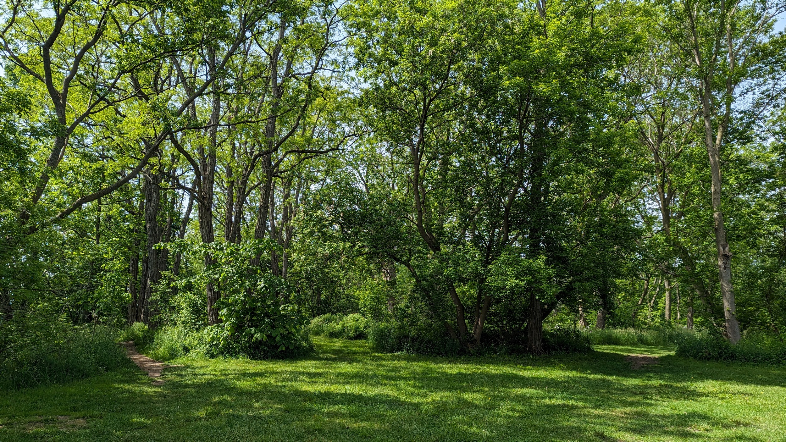
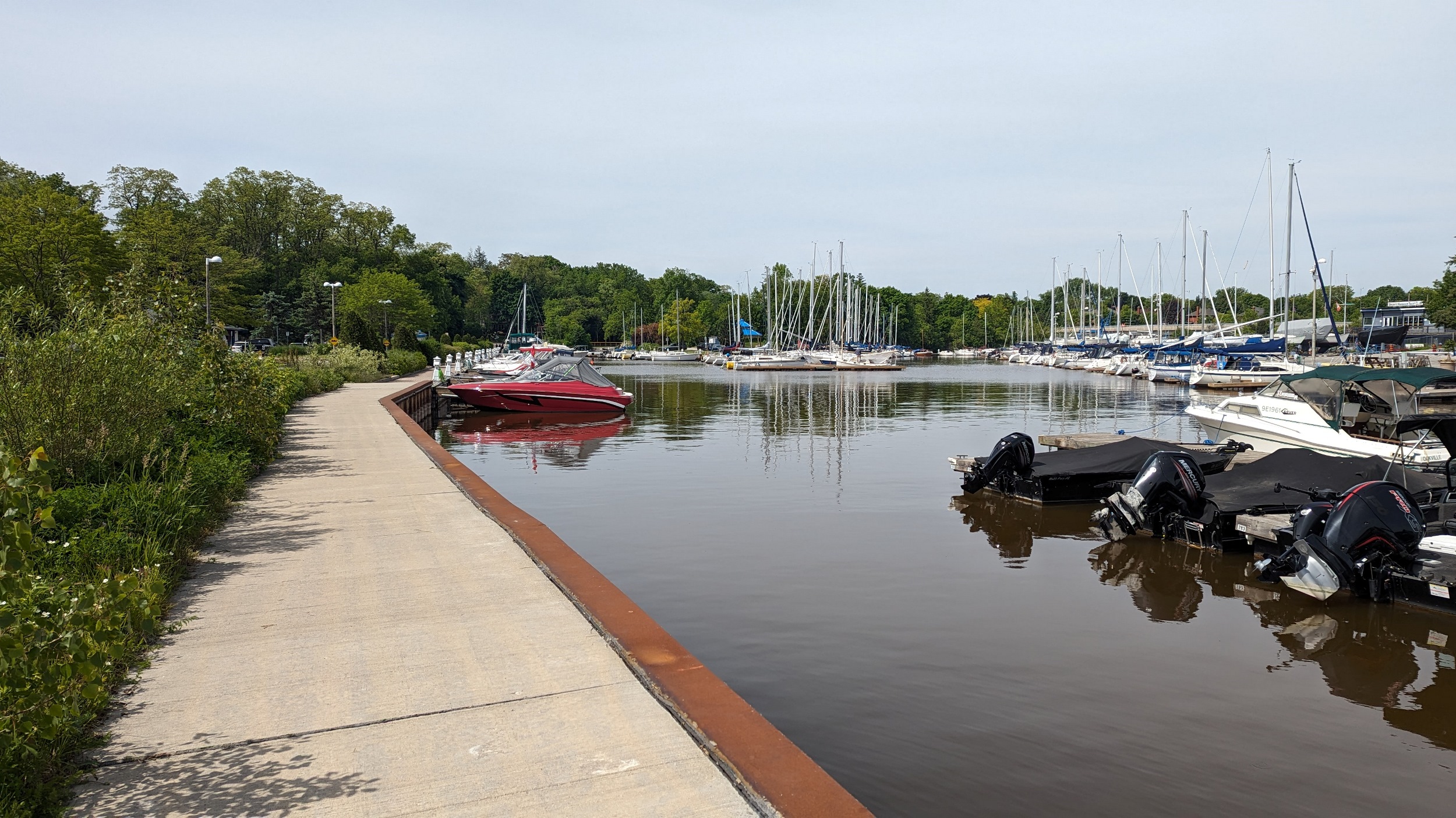
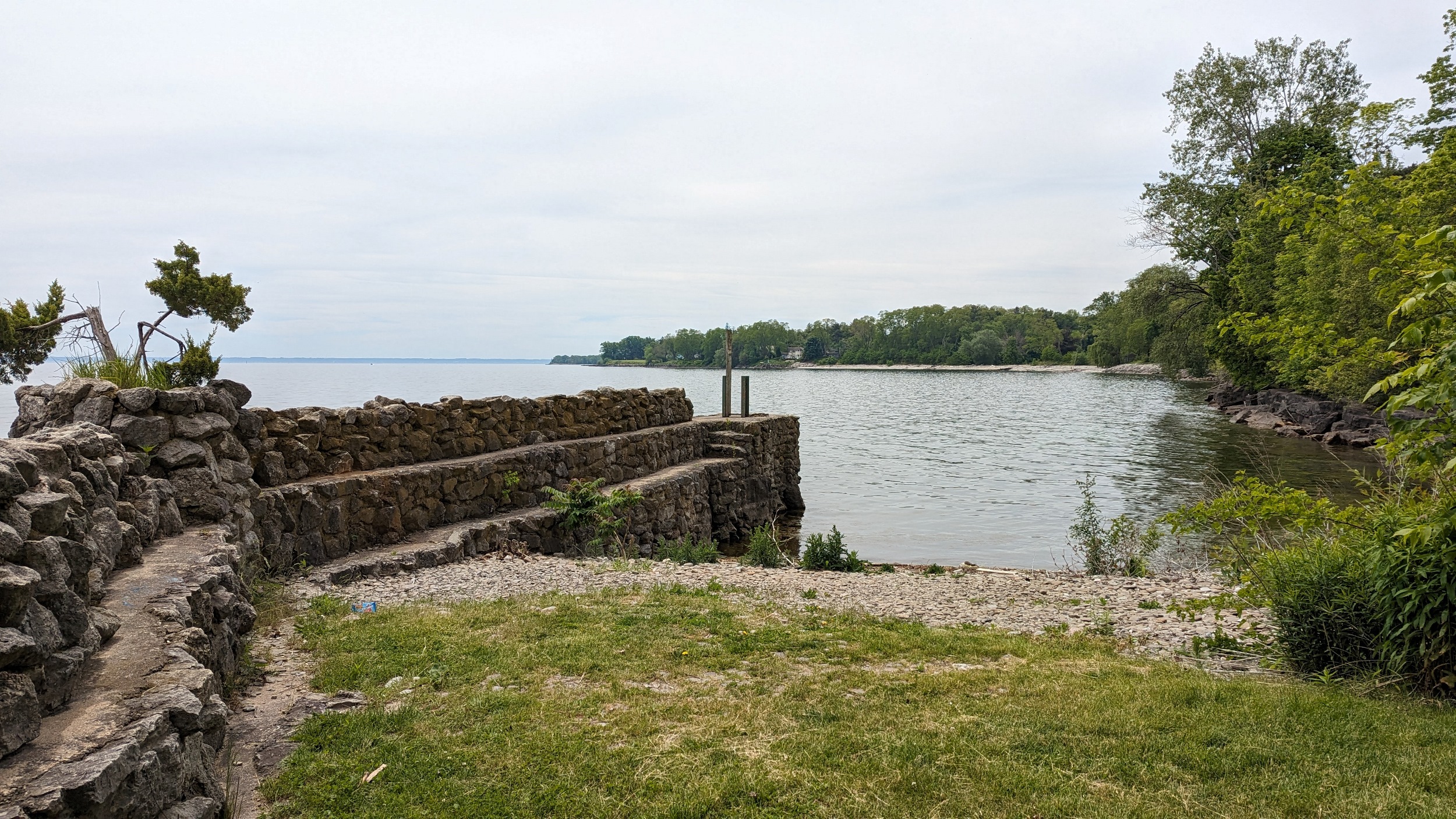
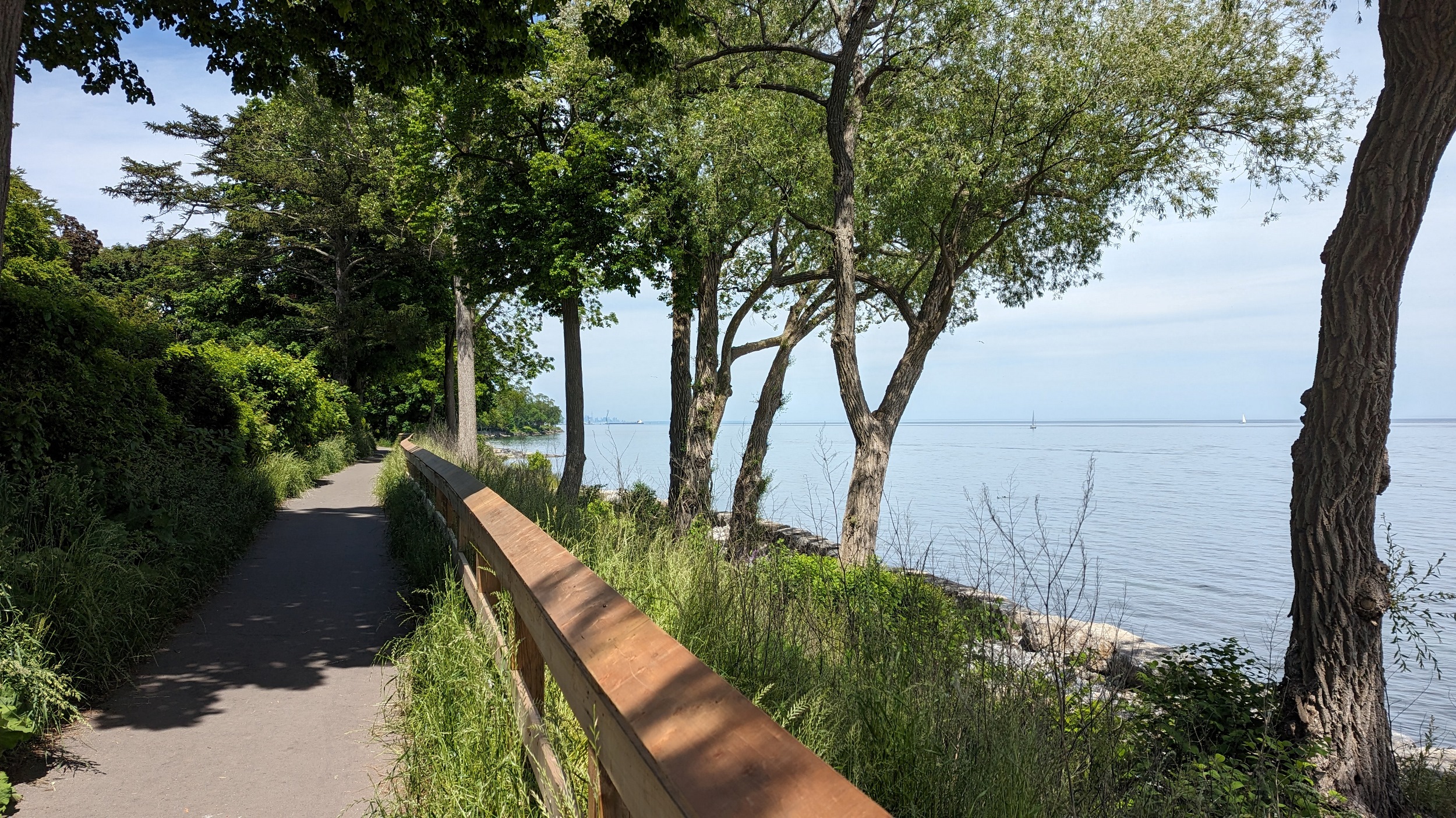
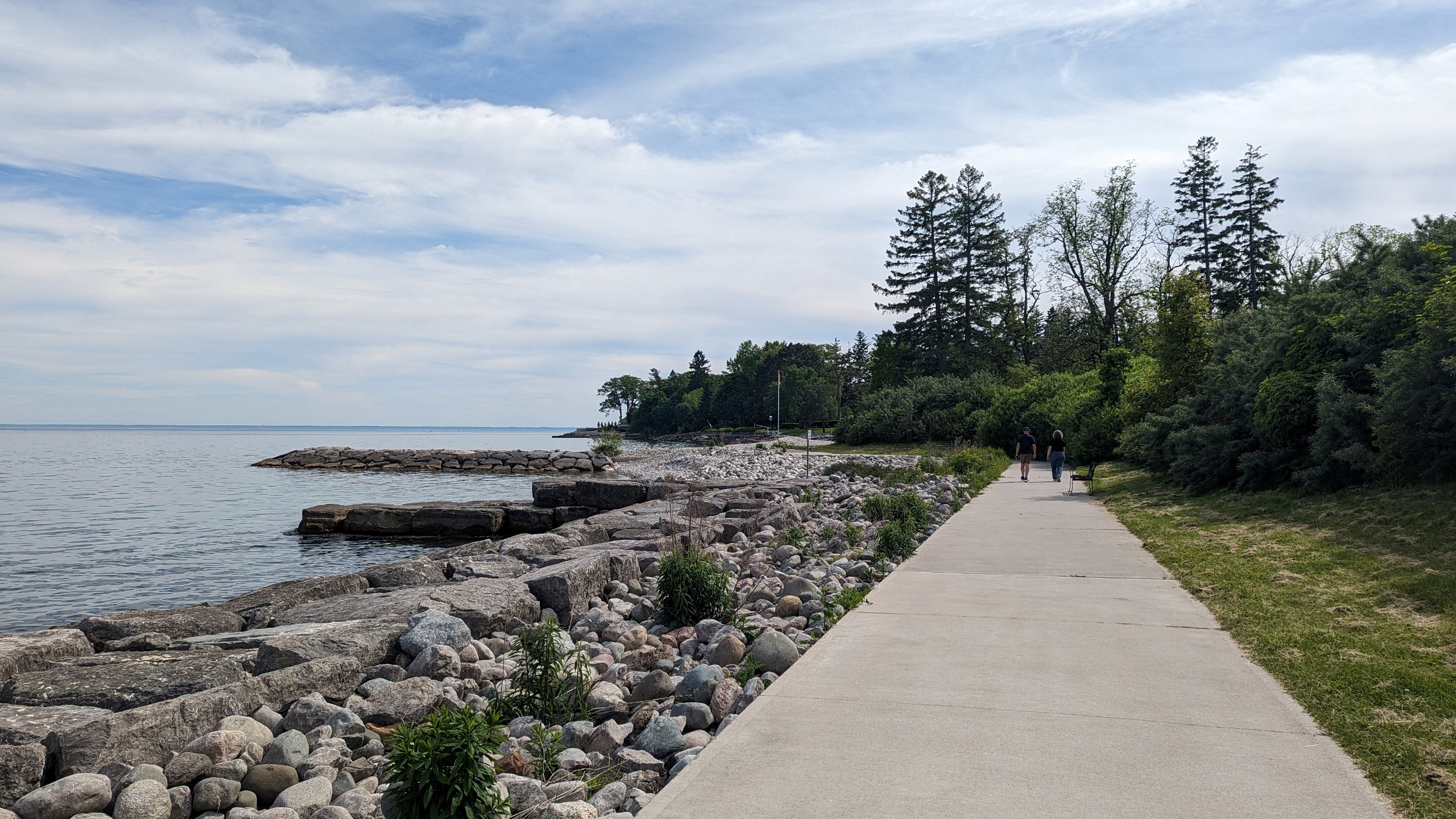
A brief interruption by a marina yard, but it’s not too bad. Then trails sweep you along an armour stone wall until west of Third Line.
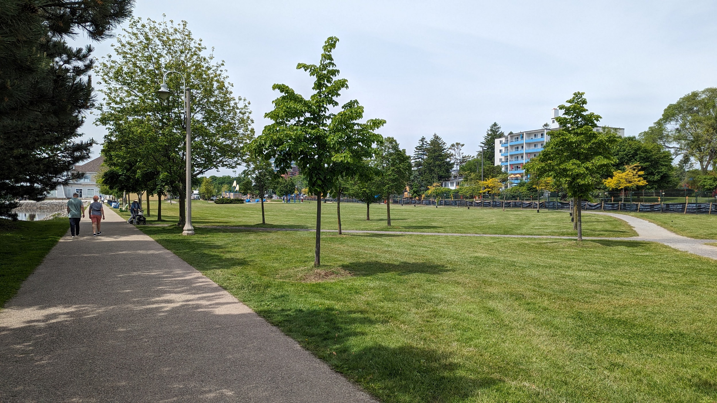
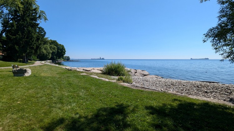
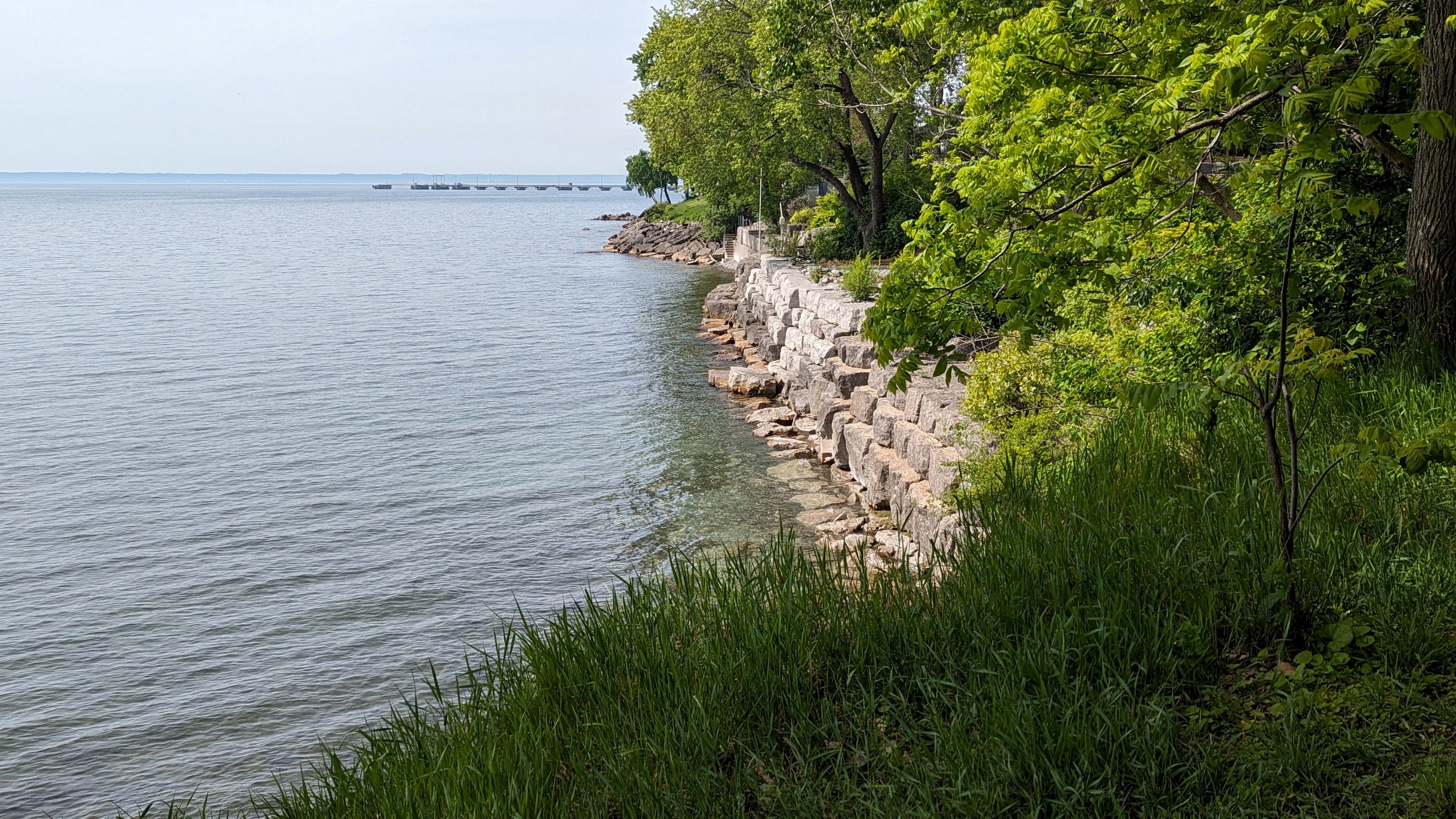
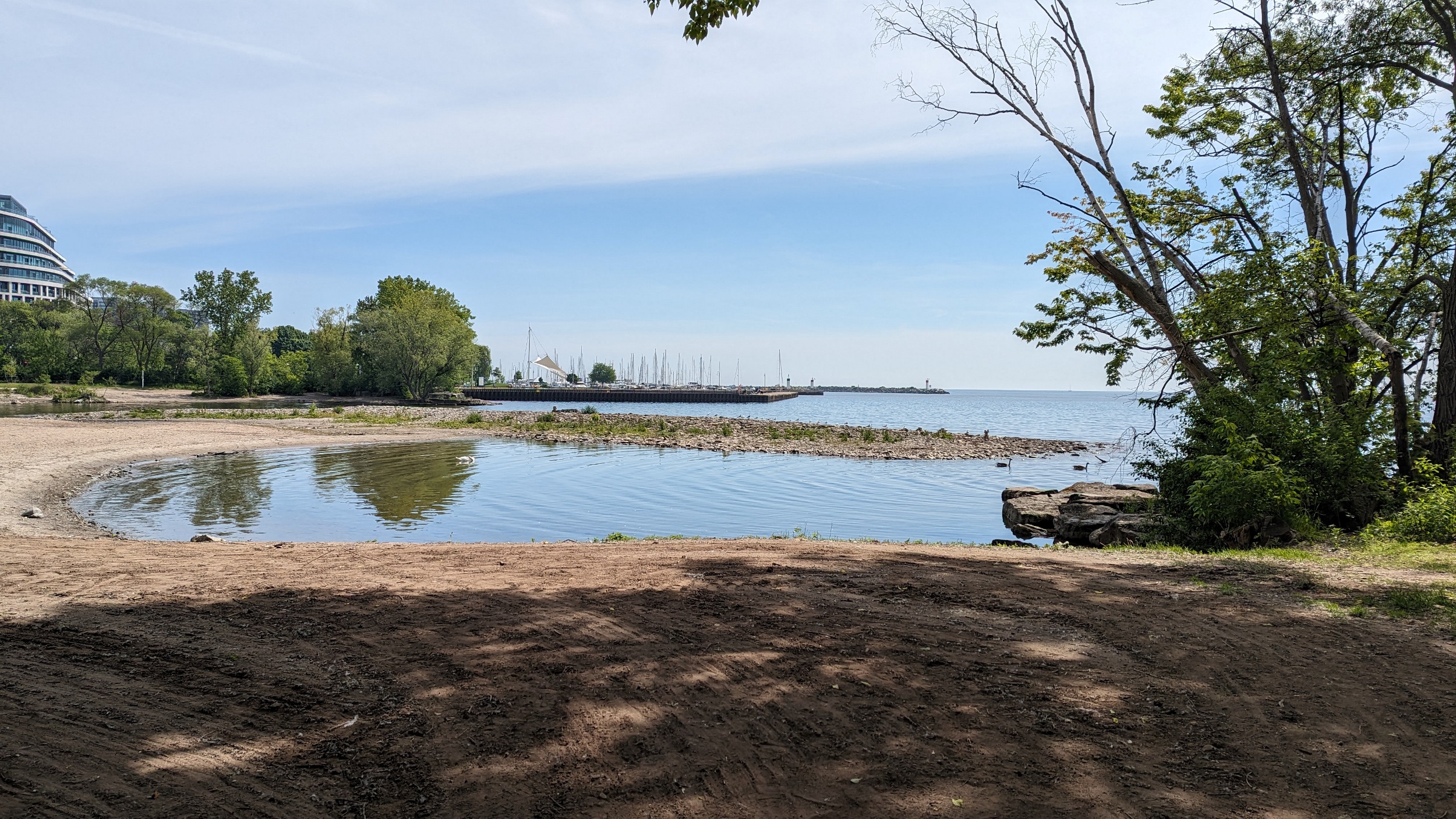
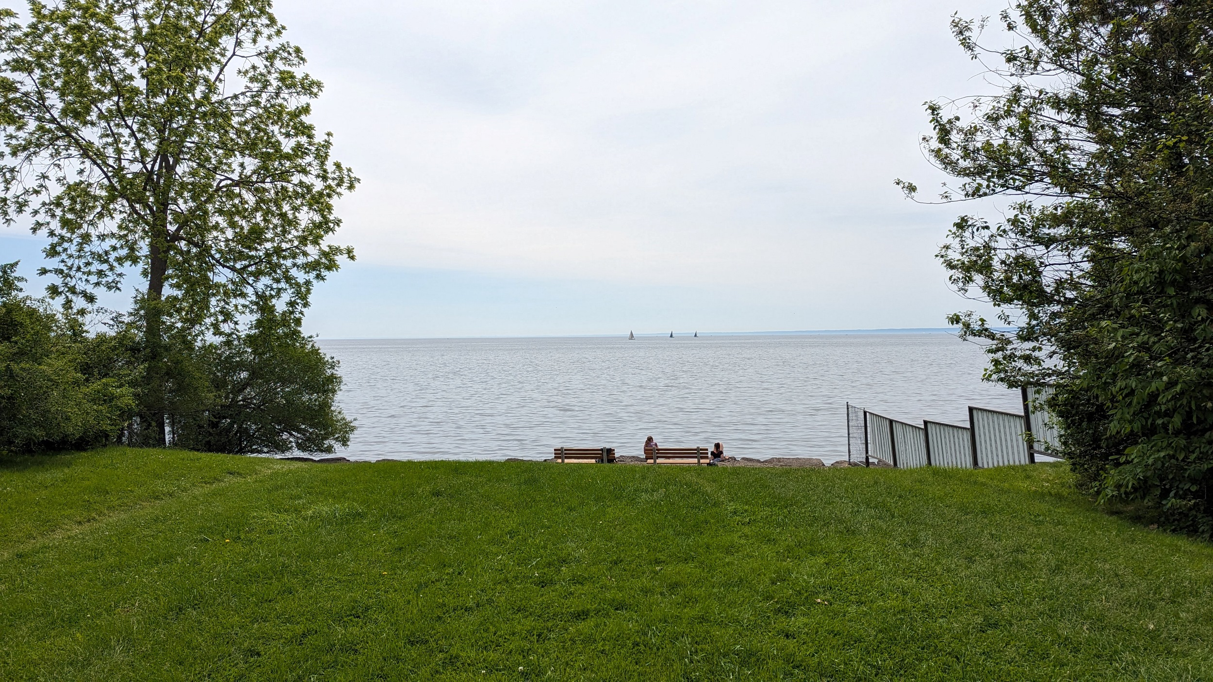
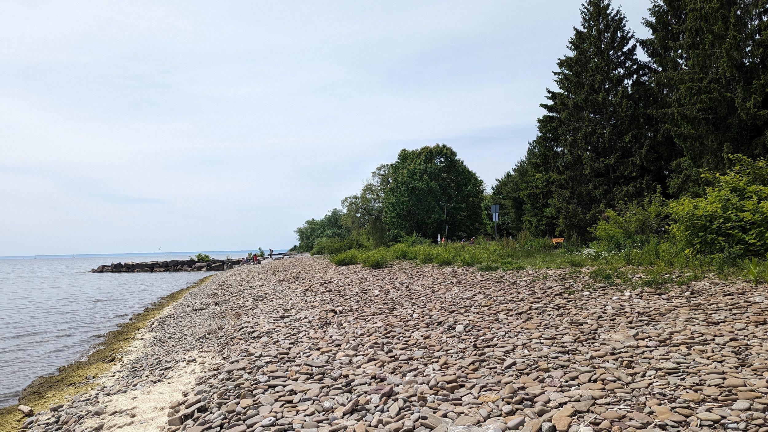
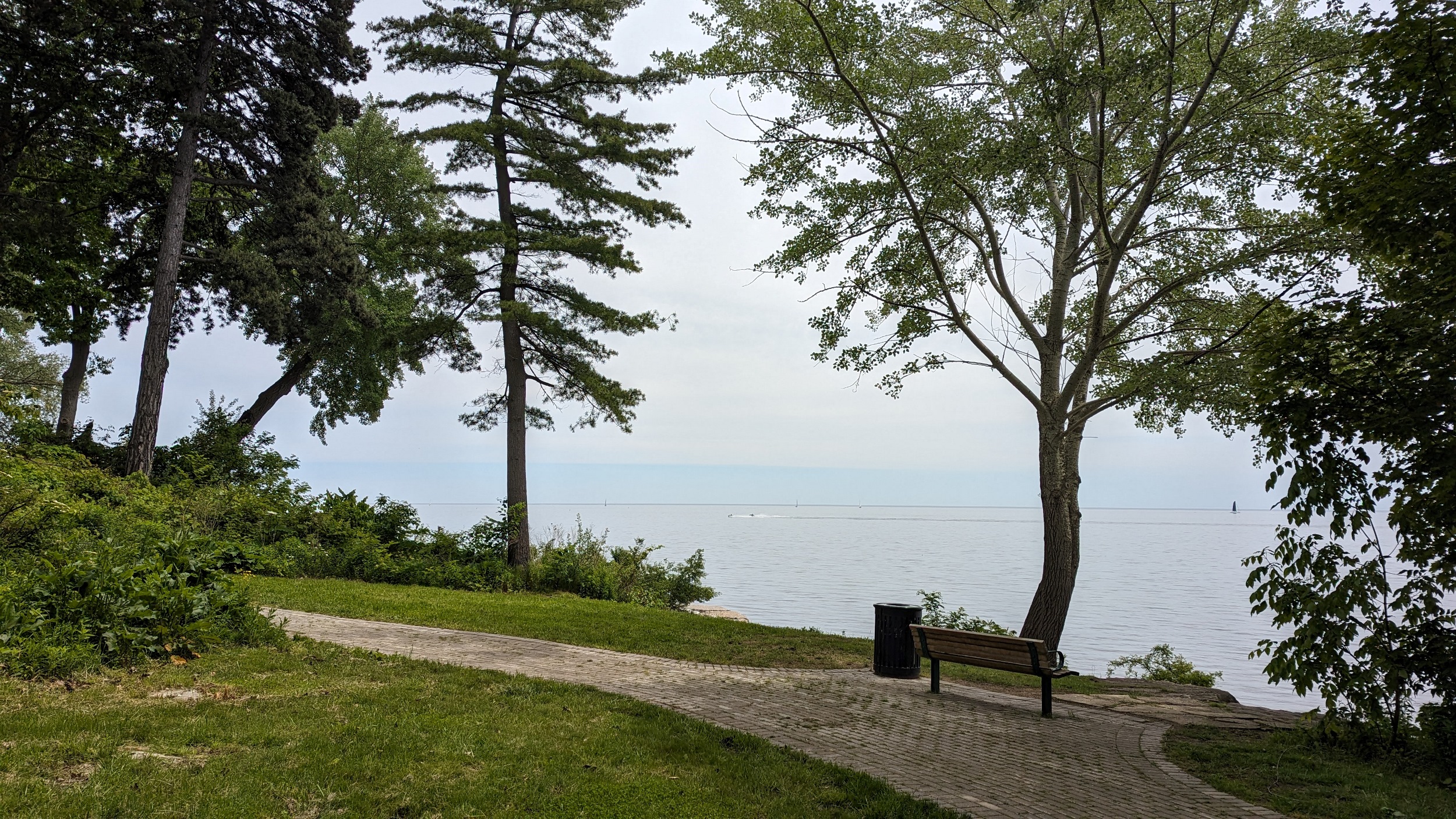
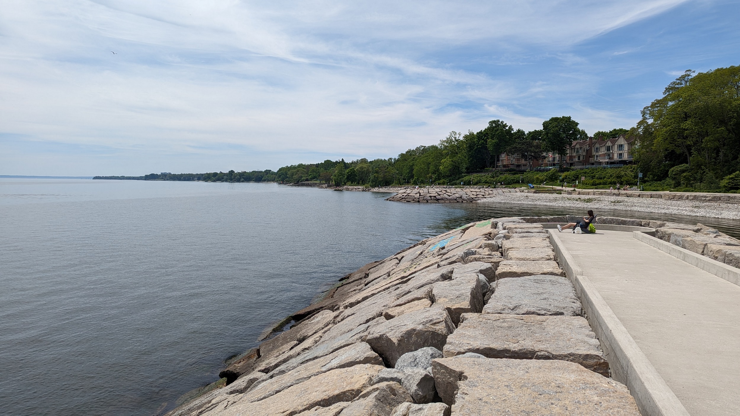
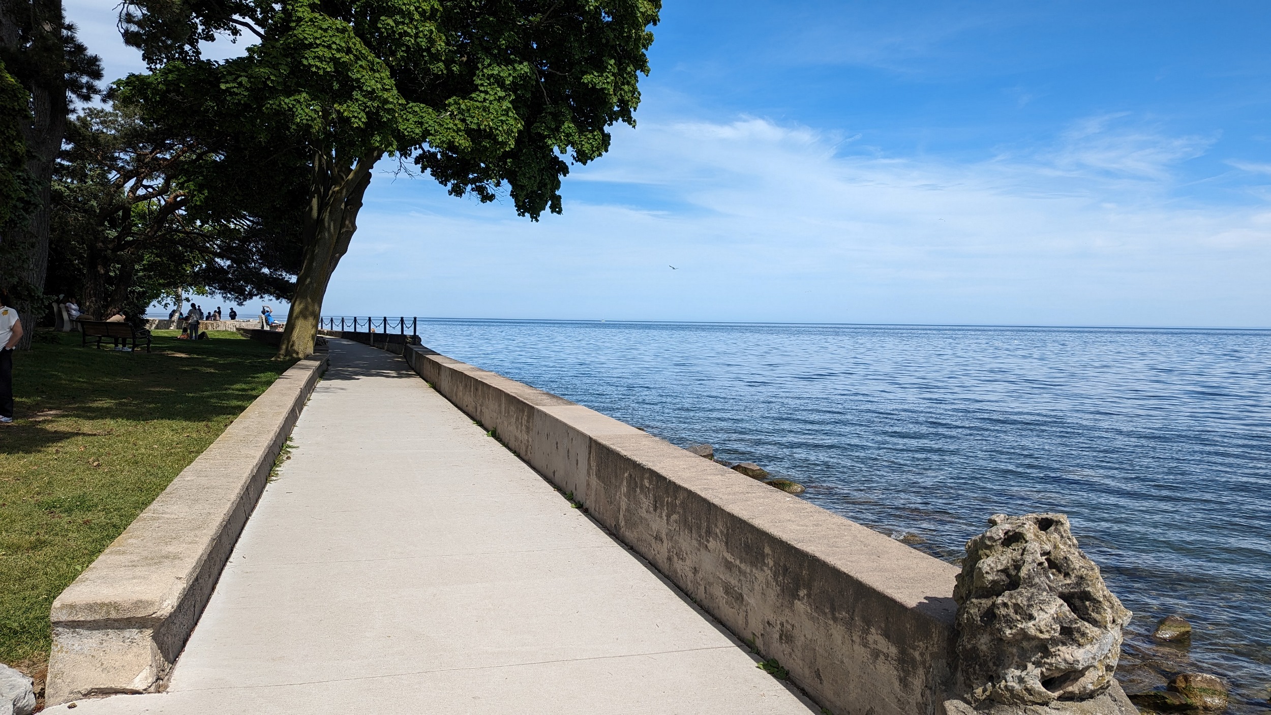
A brief view at Third Line, then it’s the shaley shores of Coronation Park. Very busy today, which isn’t shocking. Lots of seating, kids playground and splash pad, beautiful view. What’s not to love?

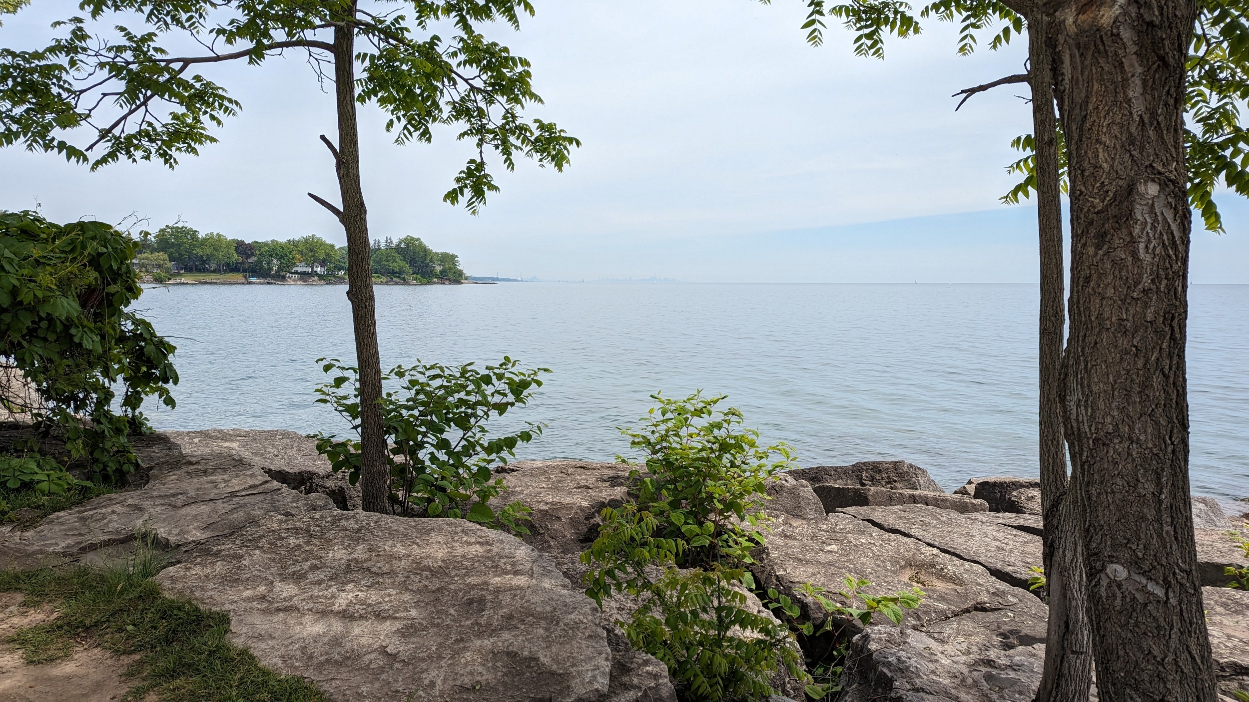
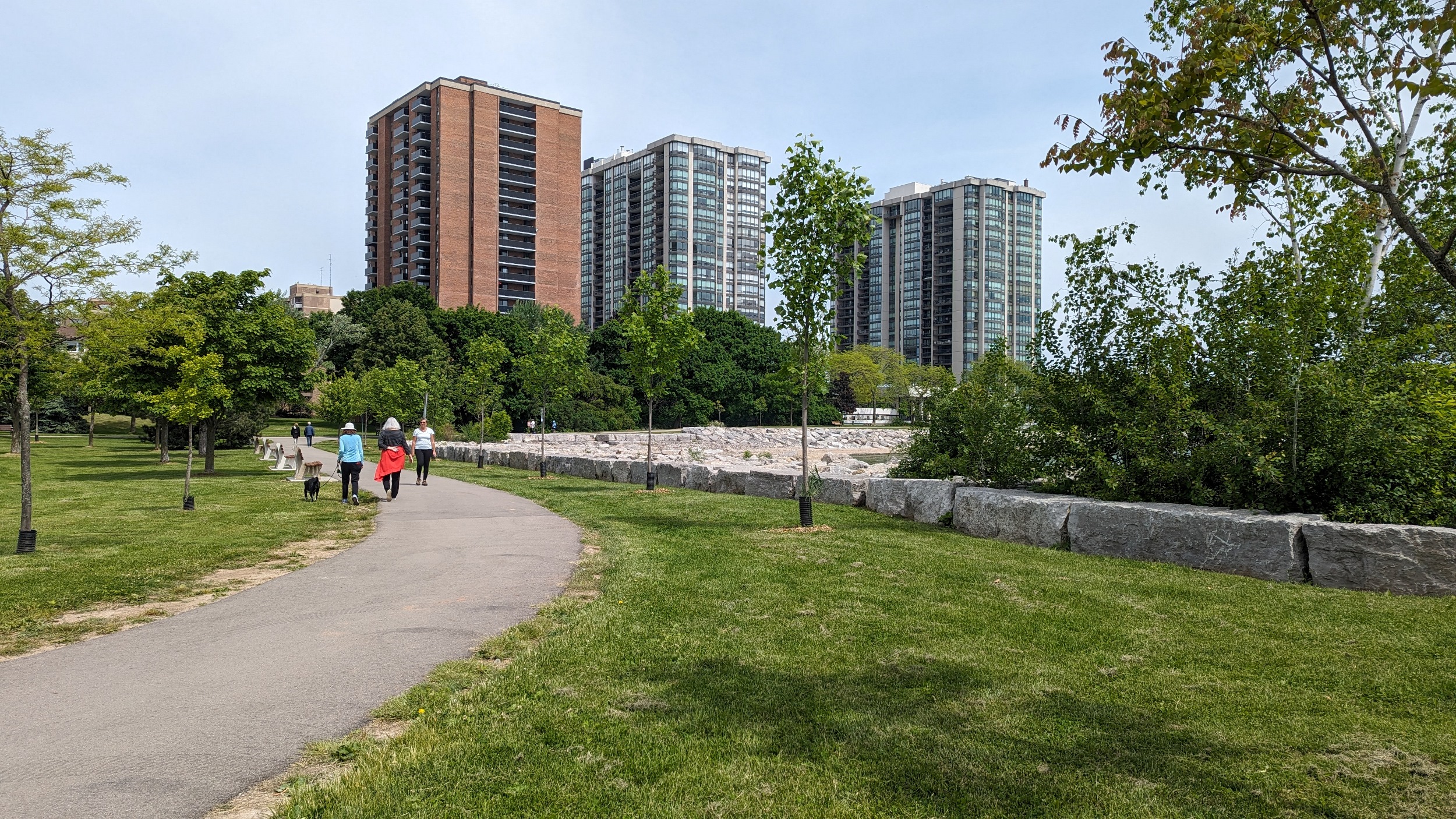
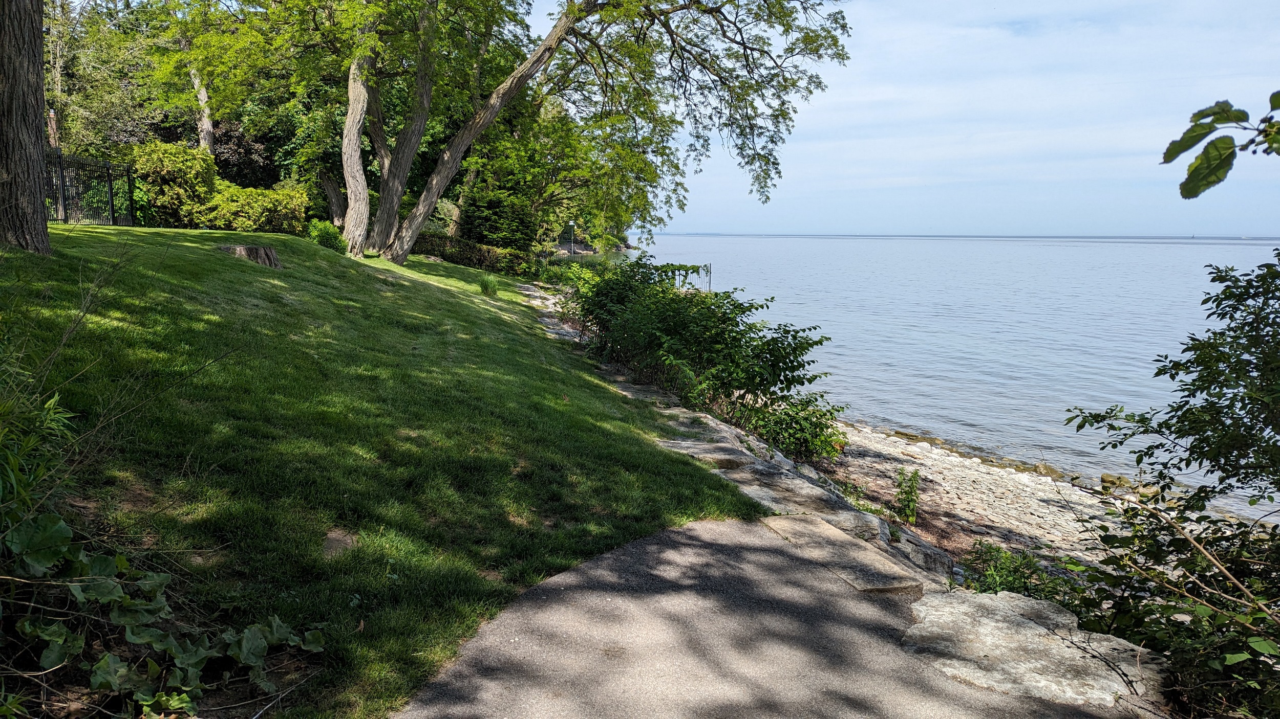
Over a creek along a private ravine. A short view of the lake at Westdale Road. The promenades continue, but with private properties fragmenting access, the distance to get to them is increasing. Here’s Birch Hill Promenade, which also wraps around Lambert Common.
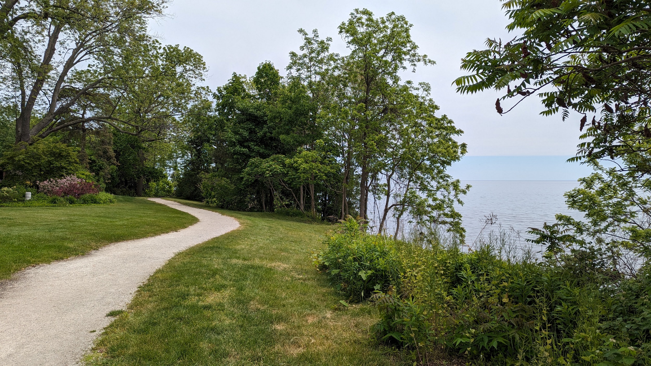

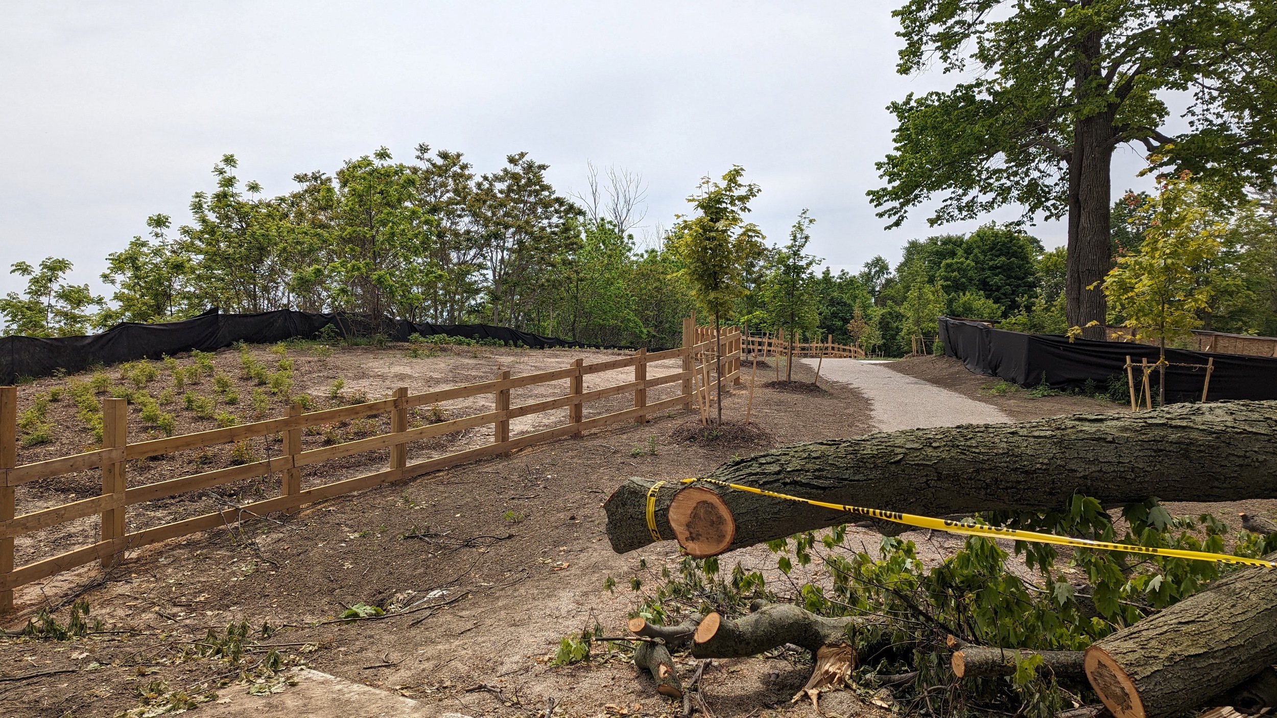
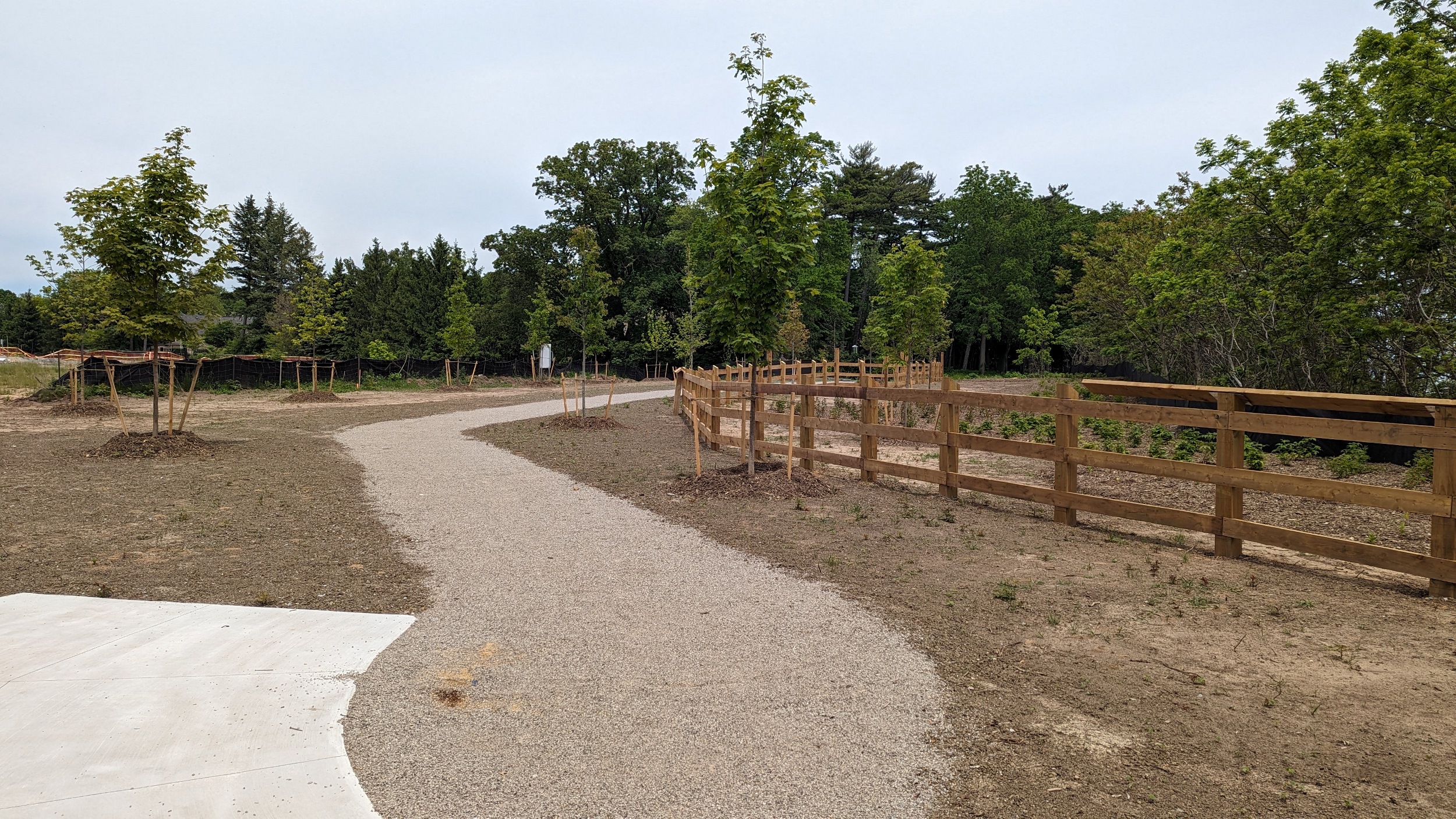
I debated coming down here at all, but it was worth it. Shorewood Promenade has recently been expanded westwards as part of an adjacent housing development. Stretches the public realm that much further, and gets it one step closer to a connection.


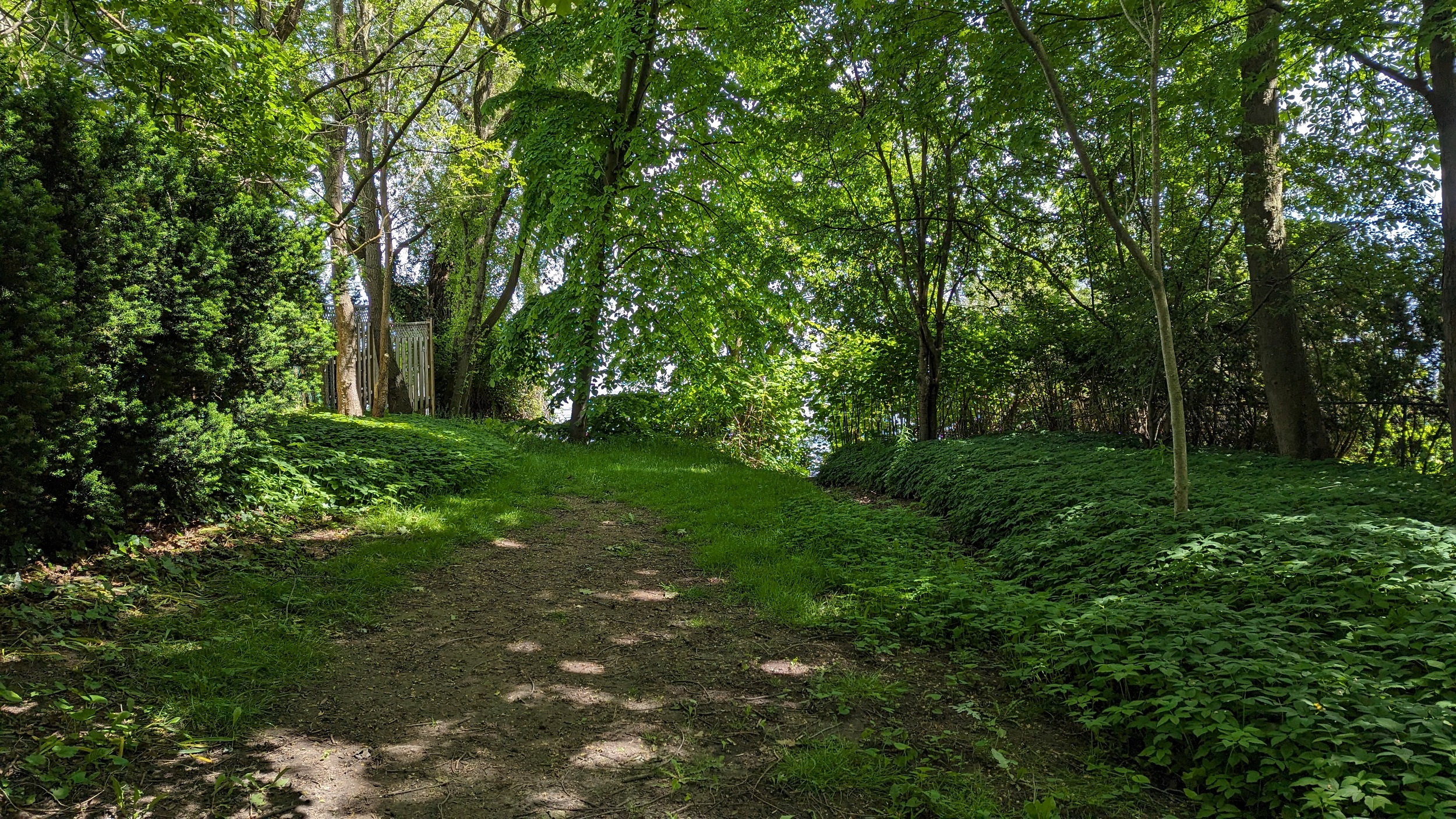
Hollyrood Promenade, with some majestic trees, then it’s another detour around private residences. A slight break in the route is Brock Street Park, but no access to the shoreline.

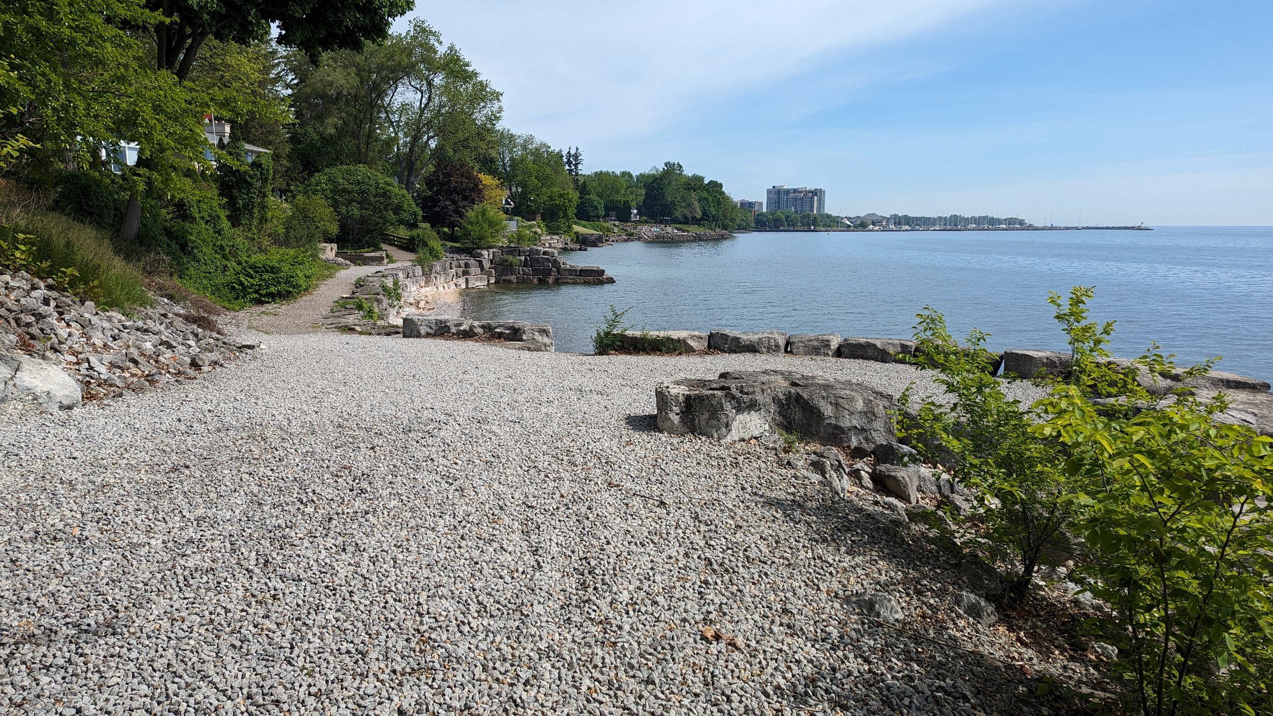
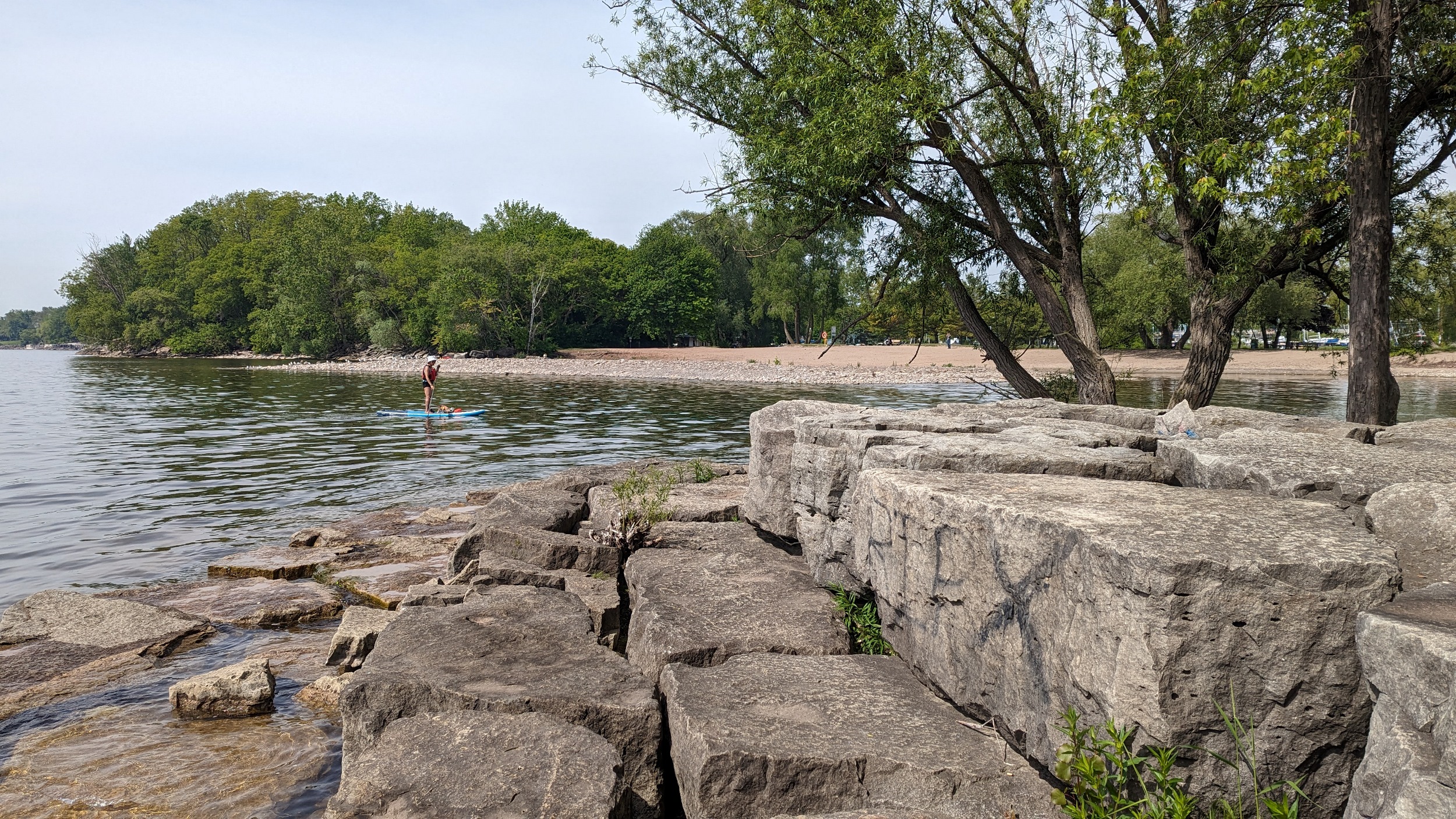
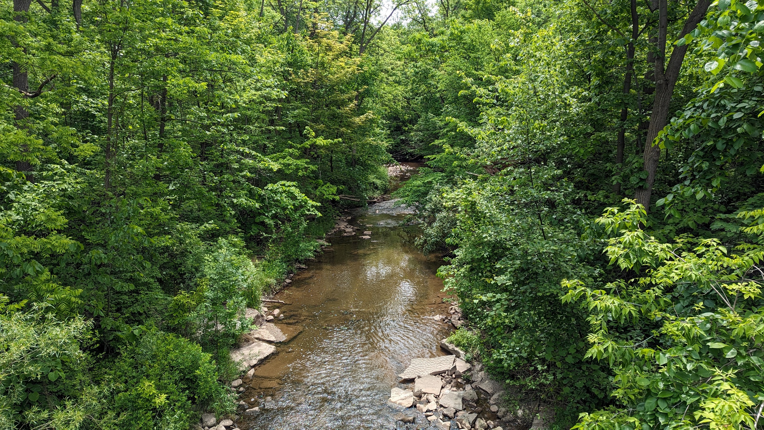
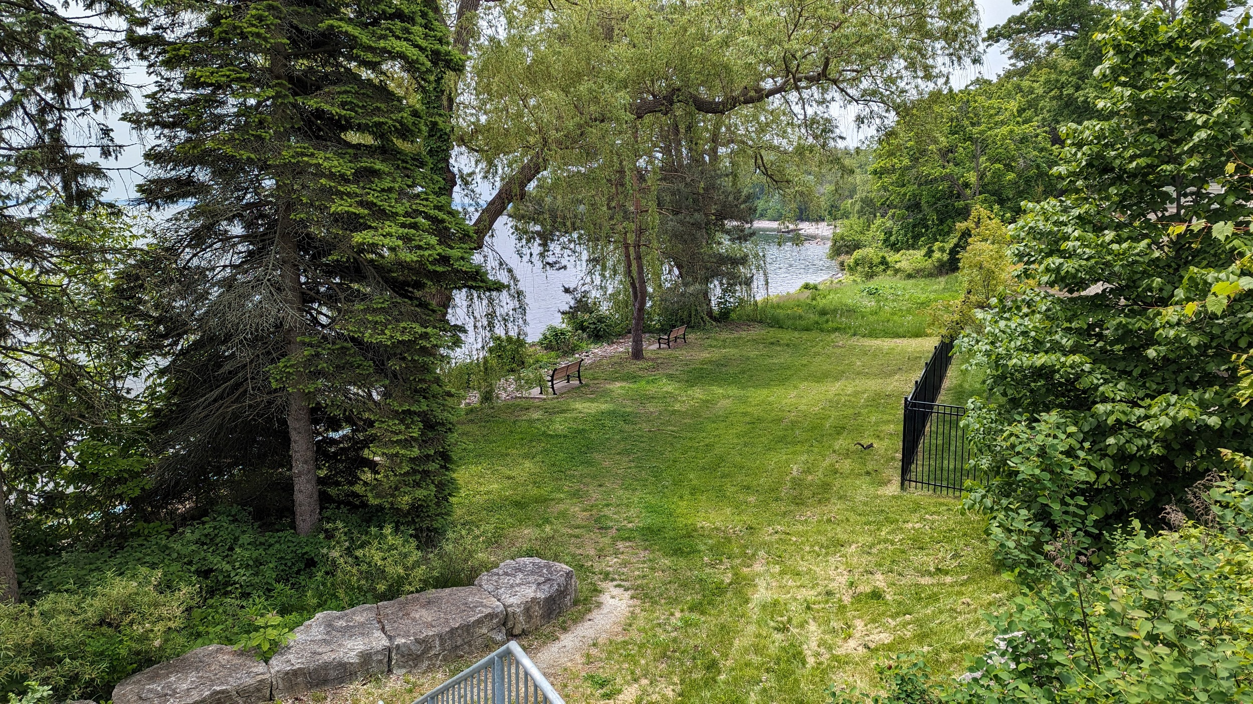
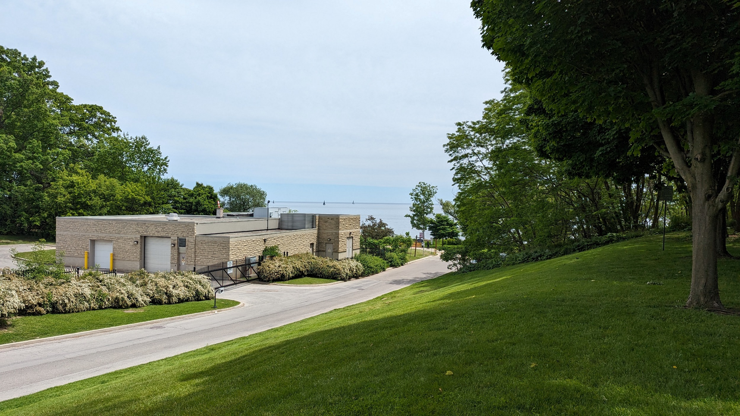
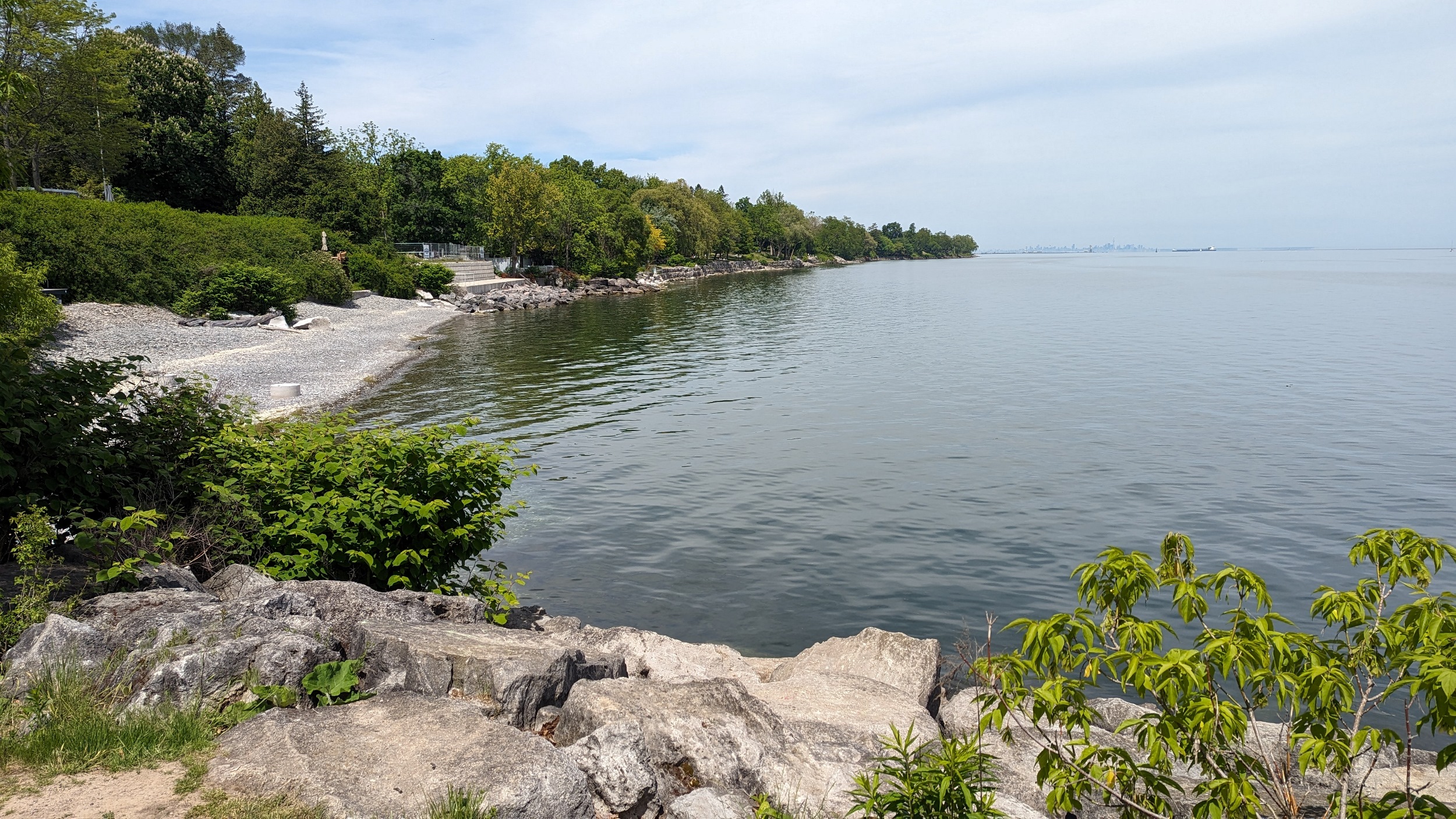
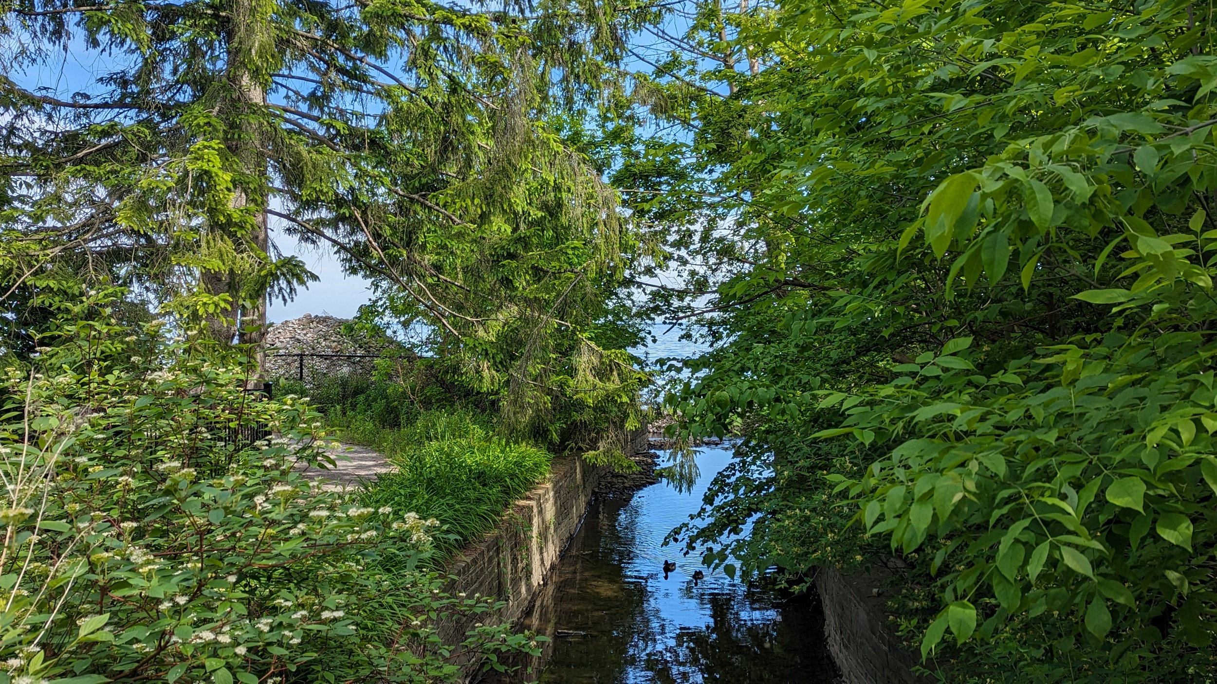
Waterworks Park, aptly named for the adjacent plant, leads you onwards into Tannery Park, a great space for waterfront access and a lookout. From here, it’s up to Lakeshore Road again to get over Sixteen Mile Creek.

Down to the east pier, and along Dingle Park, probably one of the skinnier promenades so far, at least in some spots. Nonetheless, it provides direct access to the lake until Allan Street.


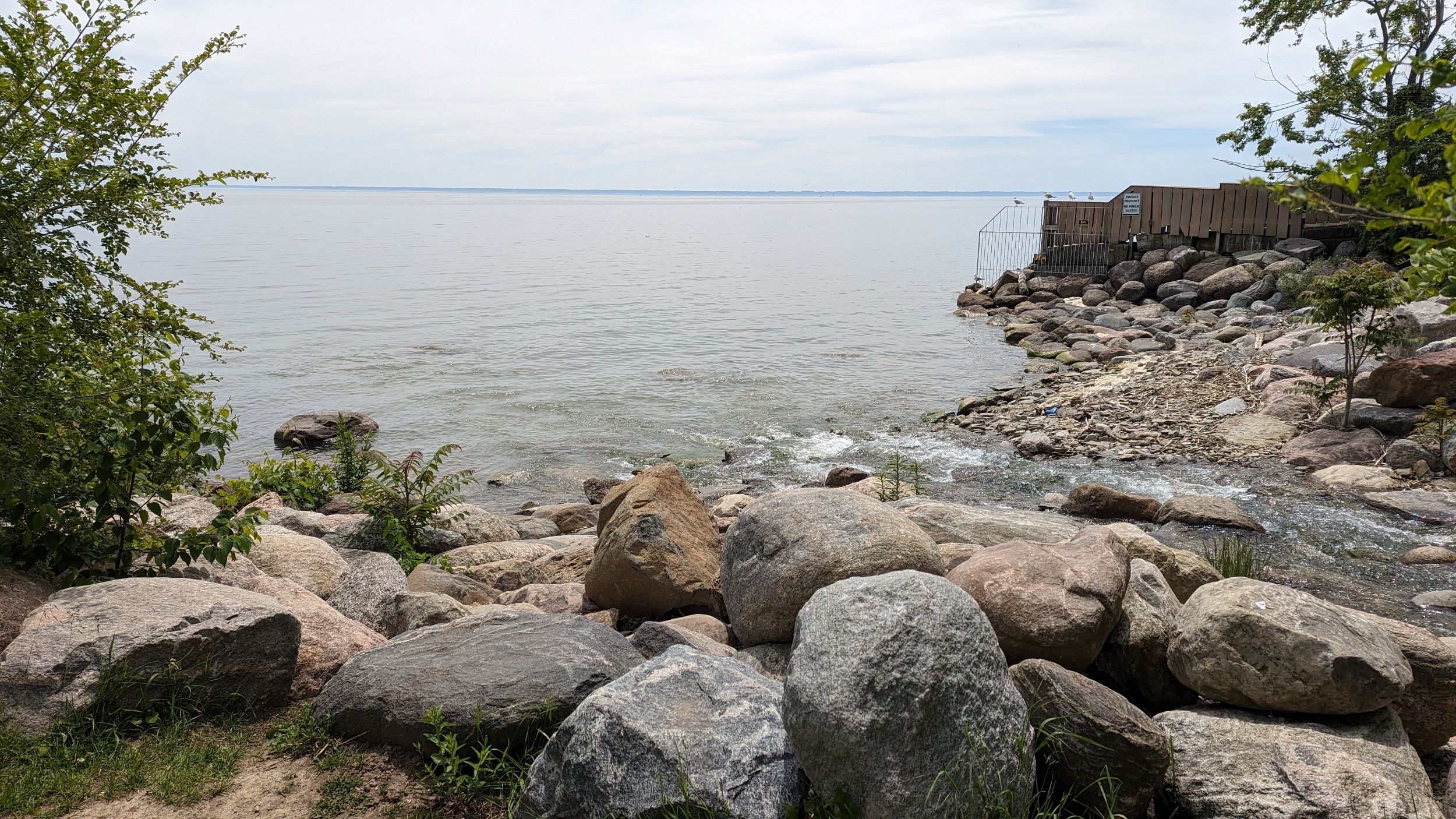
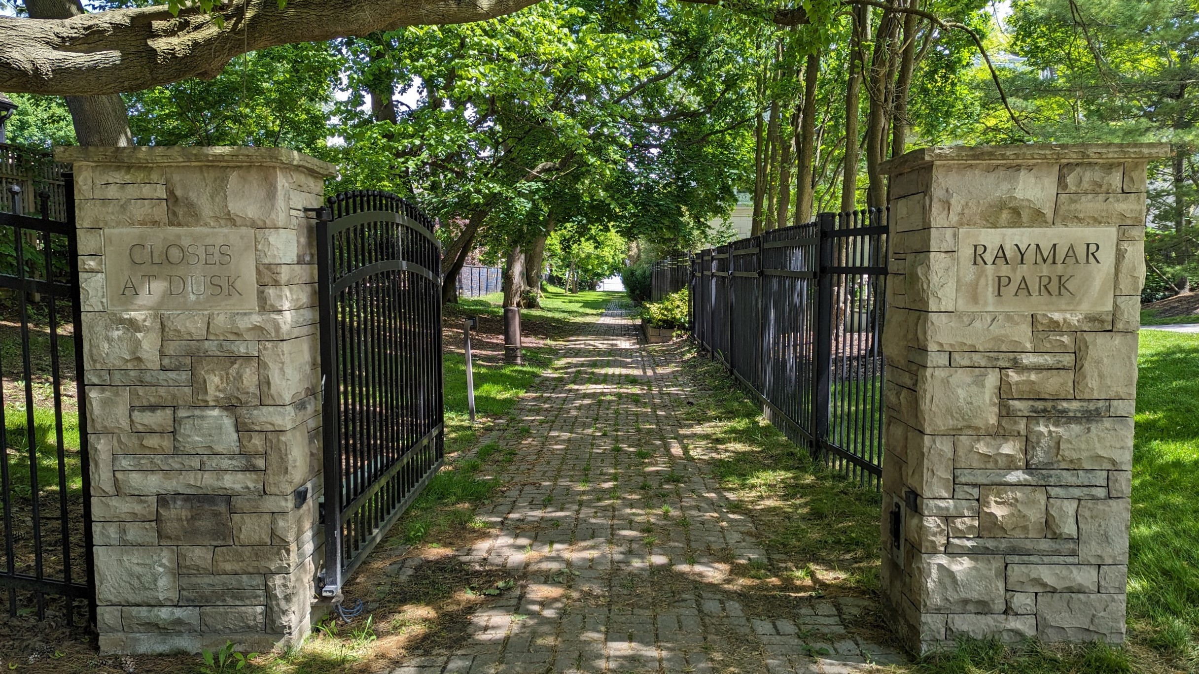
Once again, high cost hiking for little snippets of parkland. First and Second Streets are just postage stamps, although the former wraps around one house, which was unexpected. Raymar has a promenade, but it’s on a dead end.

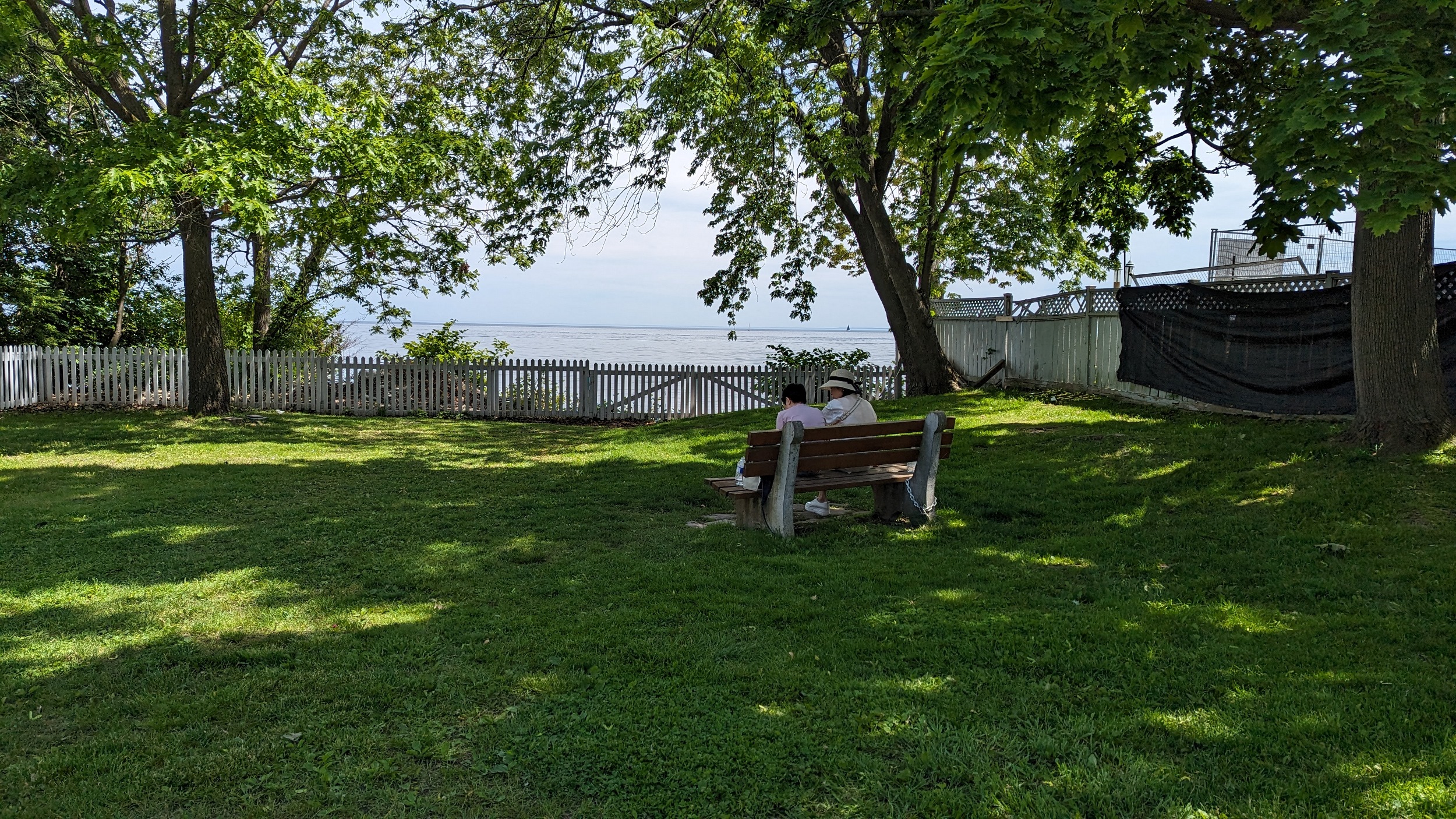
There’s a longer roadway green edge between Park Ave and Chartwell, then it’s a private residential desert. One small postage stamp at the end of Bel Air, and the next green space isn’t until Gairloch Gardens.

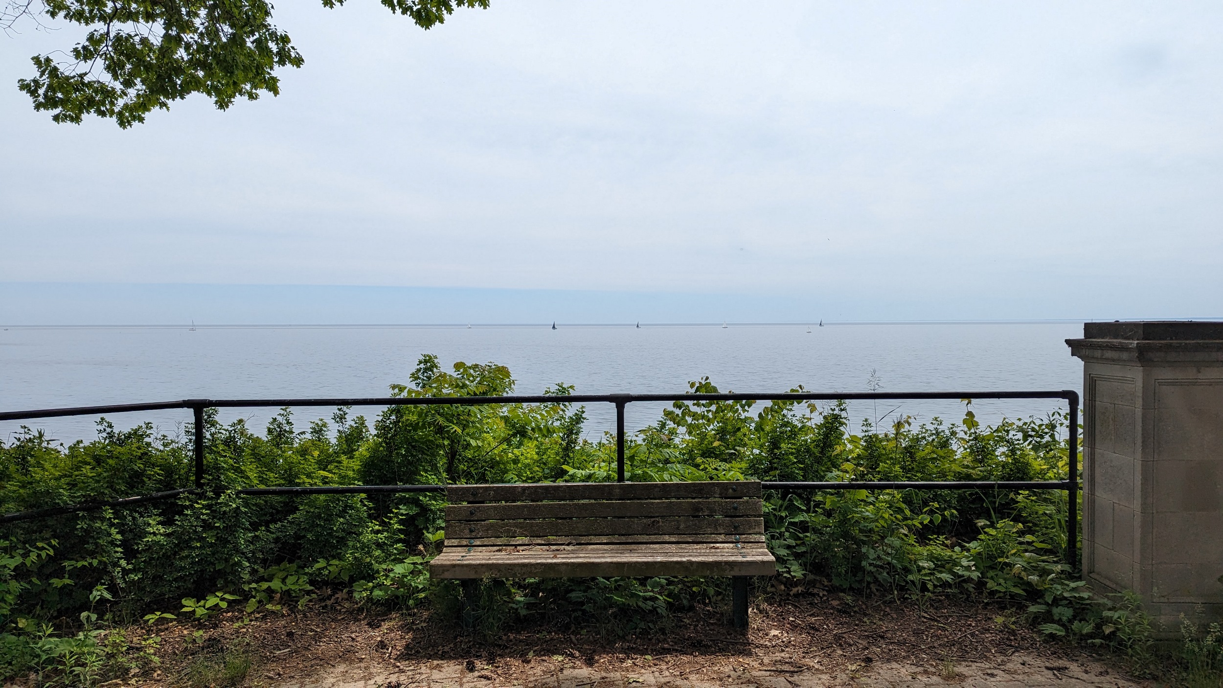
One last stop at the Edgemere Promenade, and that’ll be a wrap for today. Oakville’s east border is technically further on, but my legs can’t do anymore. Thanks for joining.
Date: June 1, 2024
Length: 29.3 km
Type: Shoreline