When Metroscapes became a multi-city project in 2019, it opened my eyes to how much shifting a couple hundred kilometres and growing a few decades later can really change the landscape. This motivated me to keep expanding, and in 2024, I went from 4 isolated cities to the entire Toronto metro area.
This is an interesting part of the expansion. Niagara’s geologic history, hydroelectric and transmission infrastructure, tourism attractions, canal works and international border have undoubtedly shaped and influenced the landscape. That said, much of the region is still rural, and a hotbed for wine crops. Much like Hamilton, I have scoped my analysis mostly to the urban parts of Niagara Falls, St. Catharines, Port Colborne, Welland, and Thorold, as well as key natural features in Fonthill and Niagara-on-the-Lake.
Explore the region below.
Projects
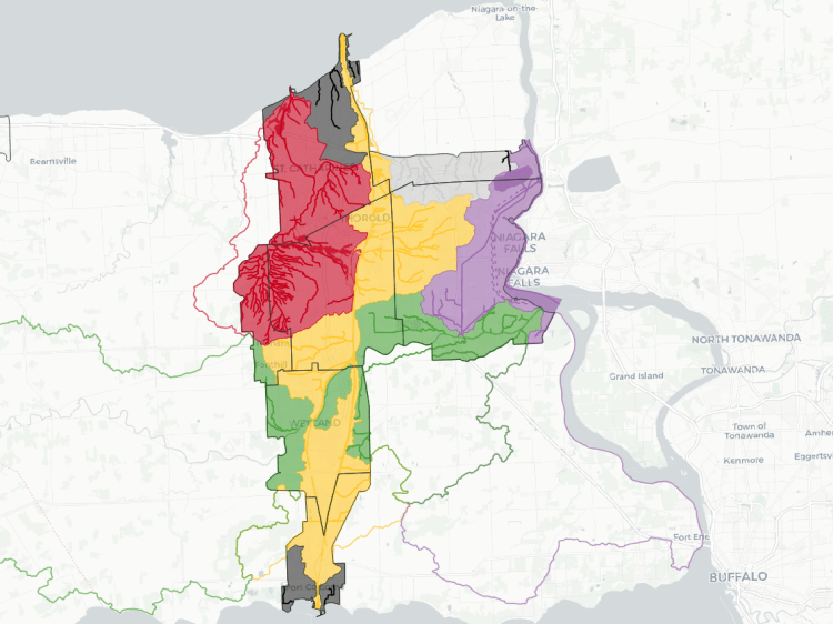
A look at the watersheds of the Niagara Region, highly altered by hydroelectric power and shipping.
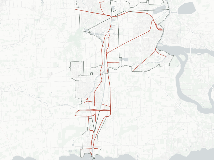
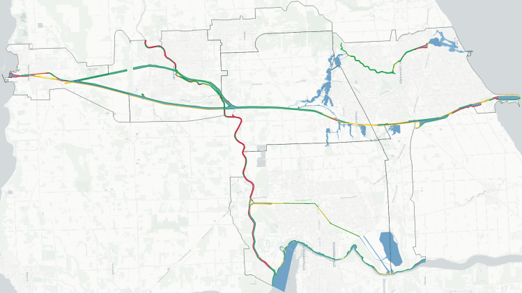
A mapping of the major railway corridors criss-crossing the whole region.
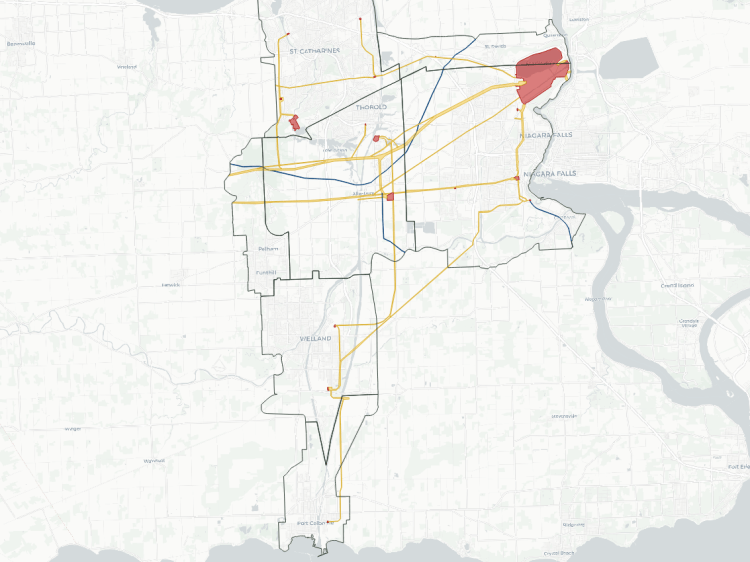
A brief history of hydroelectric power in Niagara, and mapping of the corridors from the stations.
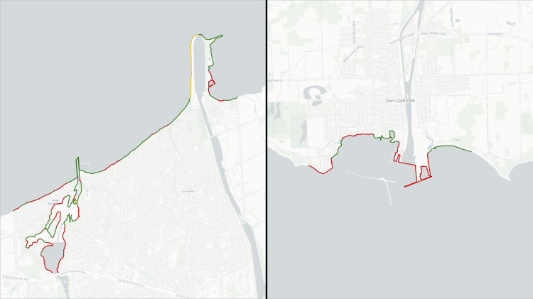
An analysis of the great lake shorelines in St Catharines and Port Colborne.
A breakdown of ownership and access to 223 kilometres of riverbanks across five major waterways.
