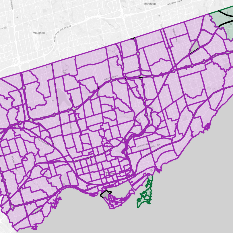
When I started #metroscapes as a Toronto-centric website, one of the first projects I did was mapping Toronto’s neighbourhoods. You would hear ‘hood names thrown out all the time by locals, but sometimes you didn’t know where ther were off the top of your head, and there wasn’t a single source to comprehensively map them. So I made one.
Now that #metroscapes has moved to other cities, I’m expanding the neighbourhood project. The tri-cities are a bit different; it has grown and expanded relatively fast and recently, which is likely fueled by leapfrog development from the GTA and the middle- to lower-class seeking more affordable housing. This has made for relatively new neighbourhoods, and transformed outer neighbourhoods into mid-town areas.
One thing that was done differently for the tri-cities is that I have broken things up. There are 87 neighbourhoods, 18 industrial / commercial districts, and 11 greenfield areas. These do not include railways for freeways, which are mapped separately to illustrate how they slice up the urban fabric. This is not a definitive guide, but merely my best interpretation.
Do you have some suggestions? Think I got something wrong? Please feel free to contact me.
Additional Statistics
[coming soon]