Toronto’s Line 3, known as the Scarborough RT, has a long history as being a quirky part of Toronto’s rapid transit system. There are a few other sources out there that can tell you about the troubled history. But the key thing to highlight is that it used unconventional equipment to propel itself, and it was running a decade beyond its intended lifespan.
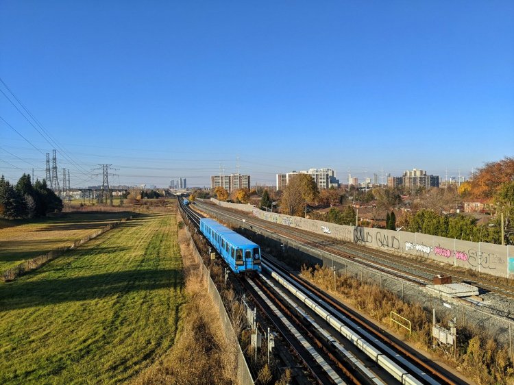
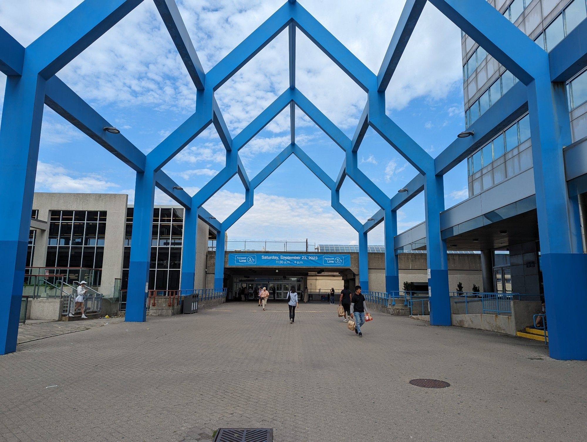
The RT was scheduled to have its last day of service on November 19, 2023. However, a derailment on July 24, 2023 shut down the line, and after a month of looking into the cause, the city opted not to re-open it. It was an ending that was premature or long overdue, depending on your perspective.
But now that the official end has come, and the province has opted to replace it with an extension of Line 2, it’s time to think about whether the line’s former route should have a new beginning.
I’m going to walk through this in sections, from east to west to south.
Guideway
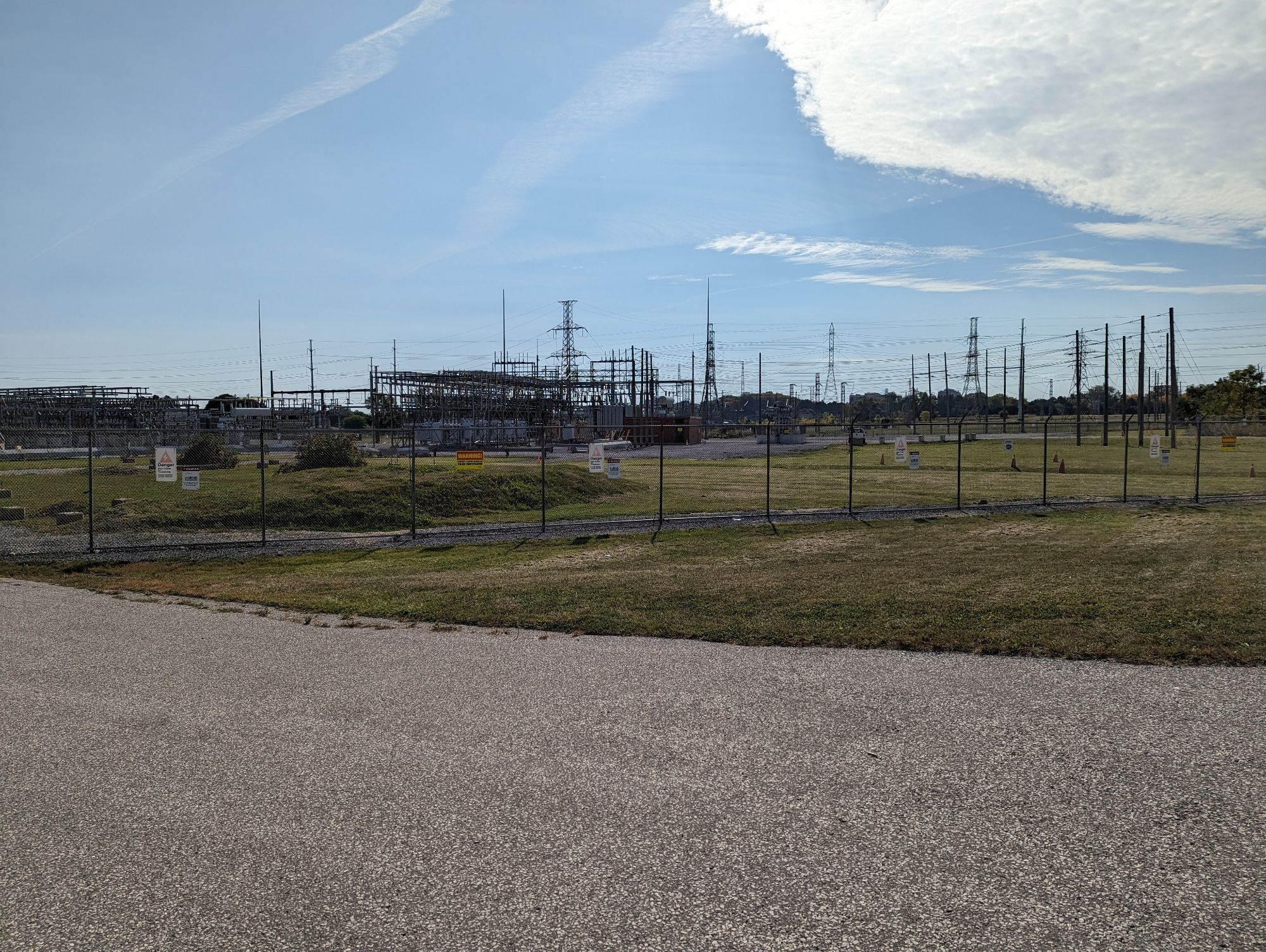
The journey of an RT train started (and ended) at the yard. The maintenance and storage facility is located at 1720 Ellesmere Road, and the property technically spans all the way to Bellamy Road in the east. This sets up a great potential parkland gateway, as this is where part of the RT right-of-way (at least where it was supposed to extend to) meets the west branch of East Highland Creek. This reach of the creek is prime for trail in parallel; they exist downstream near Ellesmere / Military Trail (where a new Meadoway crossing is also under construction), and upstream at White Haven Park, but there’s nothing in-between. A trail / park through here could be the start of a gateway to other parkland and neighbourhoods to the east and north.
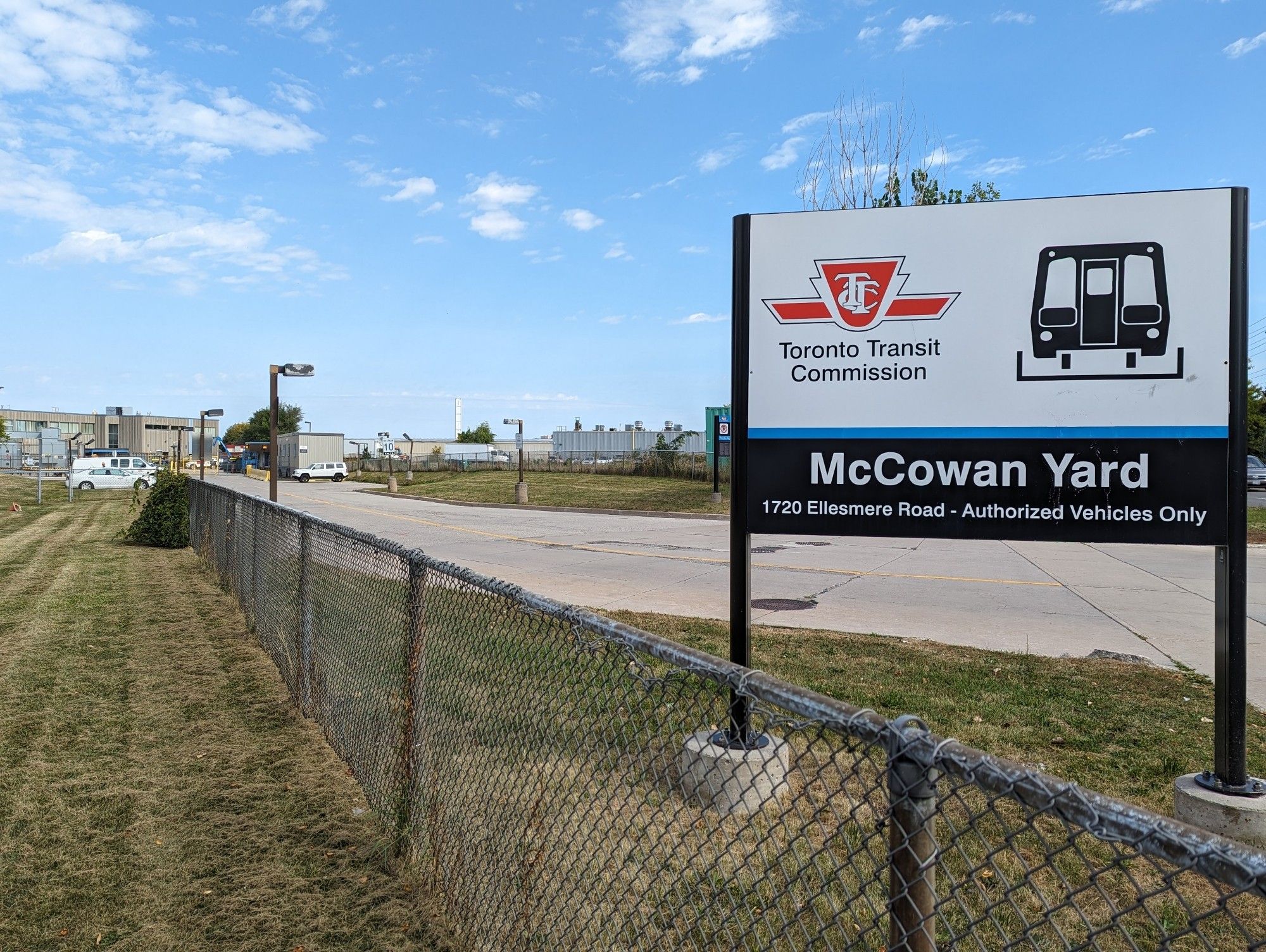
The yard itself could be a prime spot for housing. While it seems straightforward to sell the lands and finance the RT’s conversion, Mayor Olivia Chow has made it quite clear that all city departments and agencies need to pull out all the stops to build more affordable housing. This could be one of those sites, as 1.2 hectares should be plenty to work with.
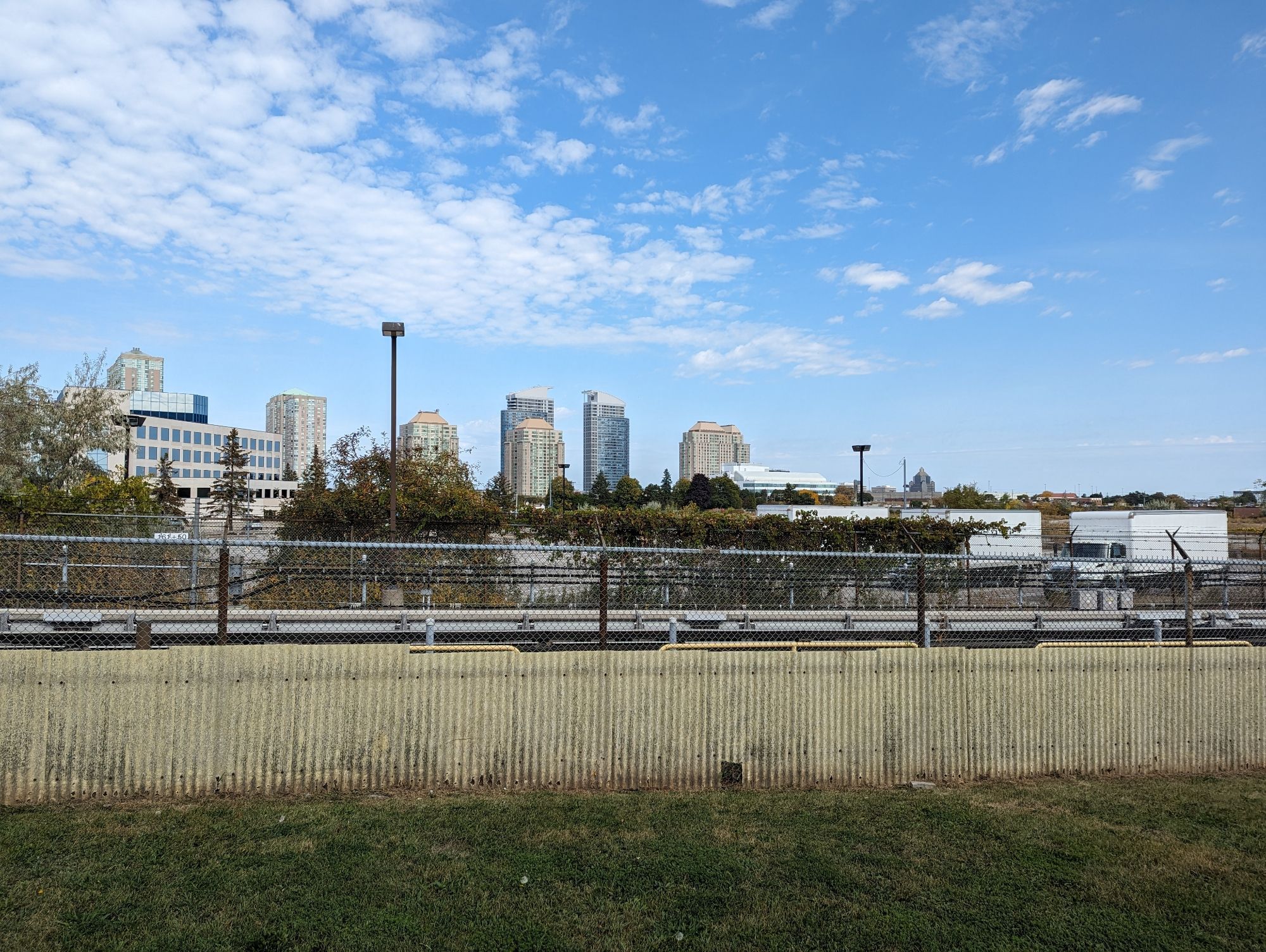
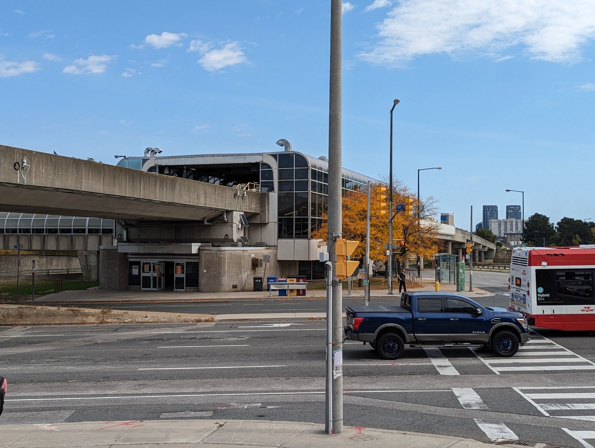
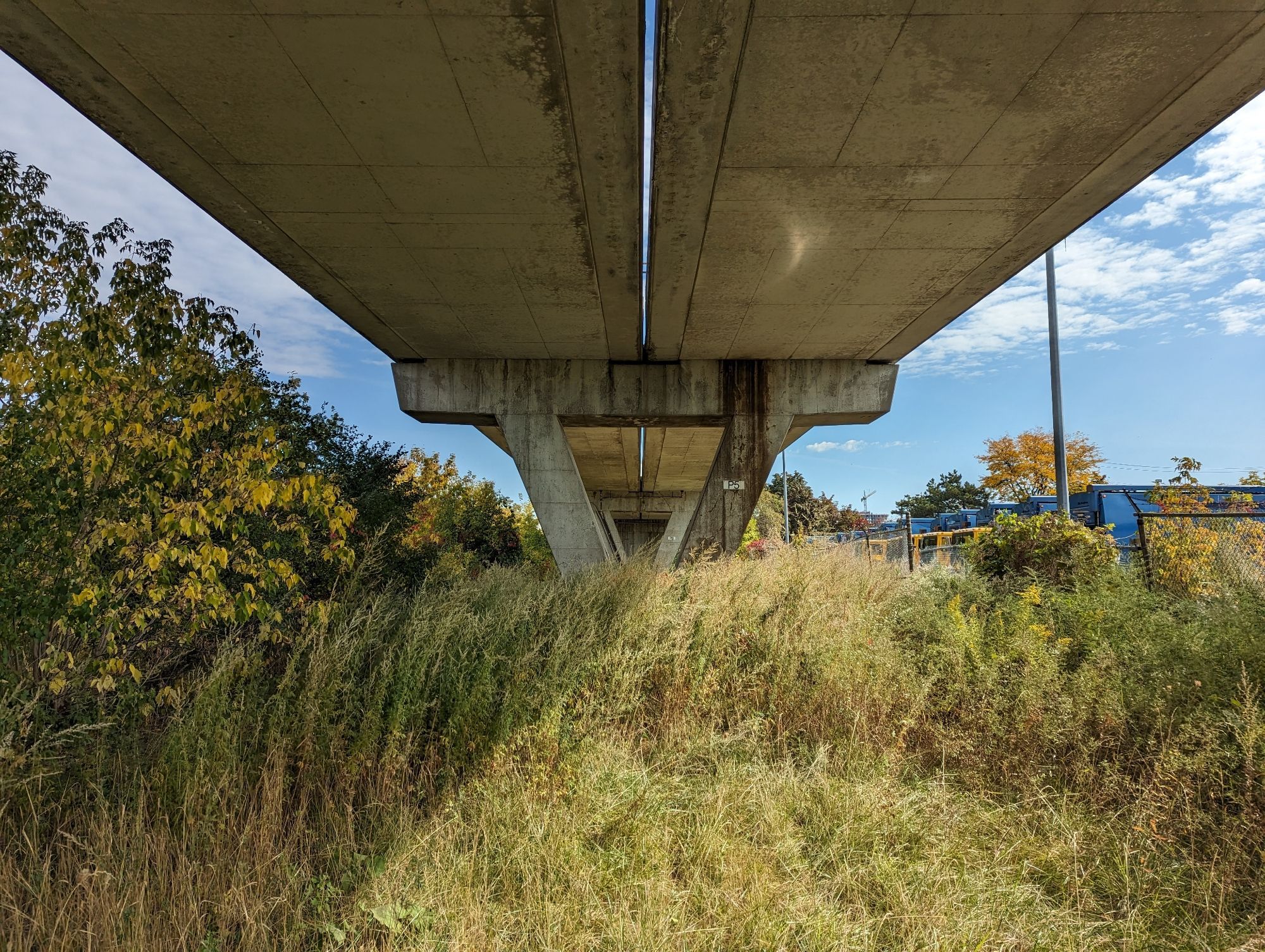
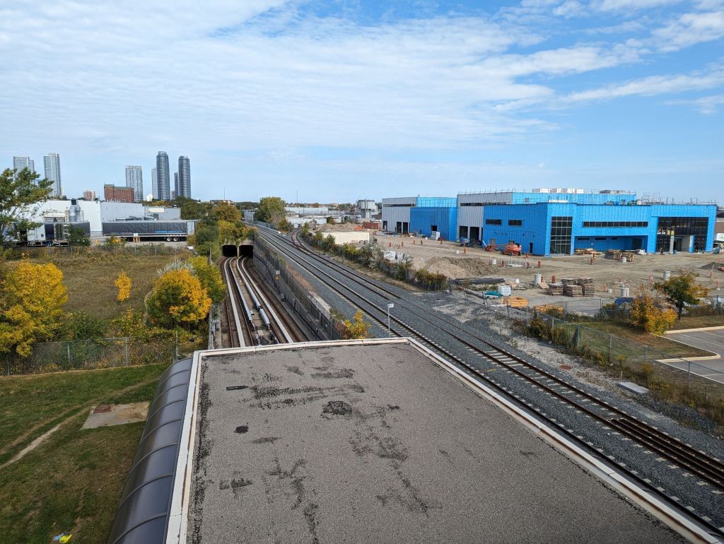
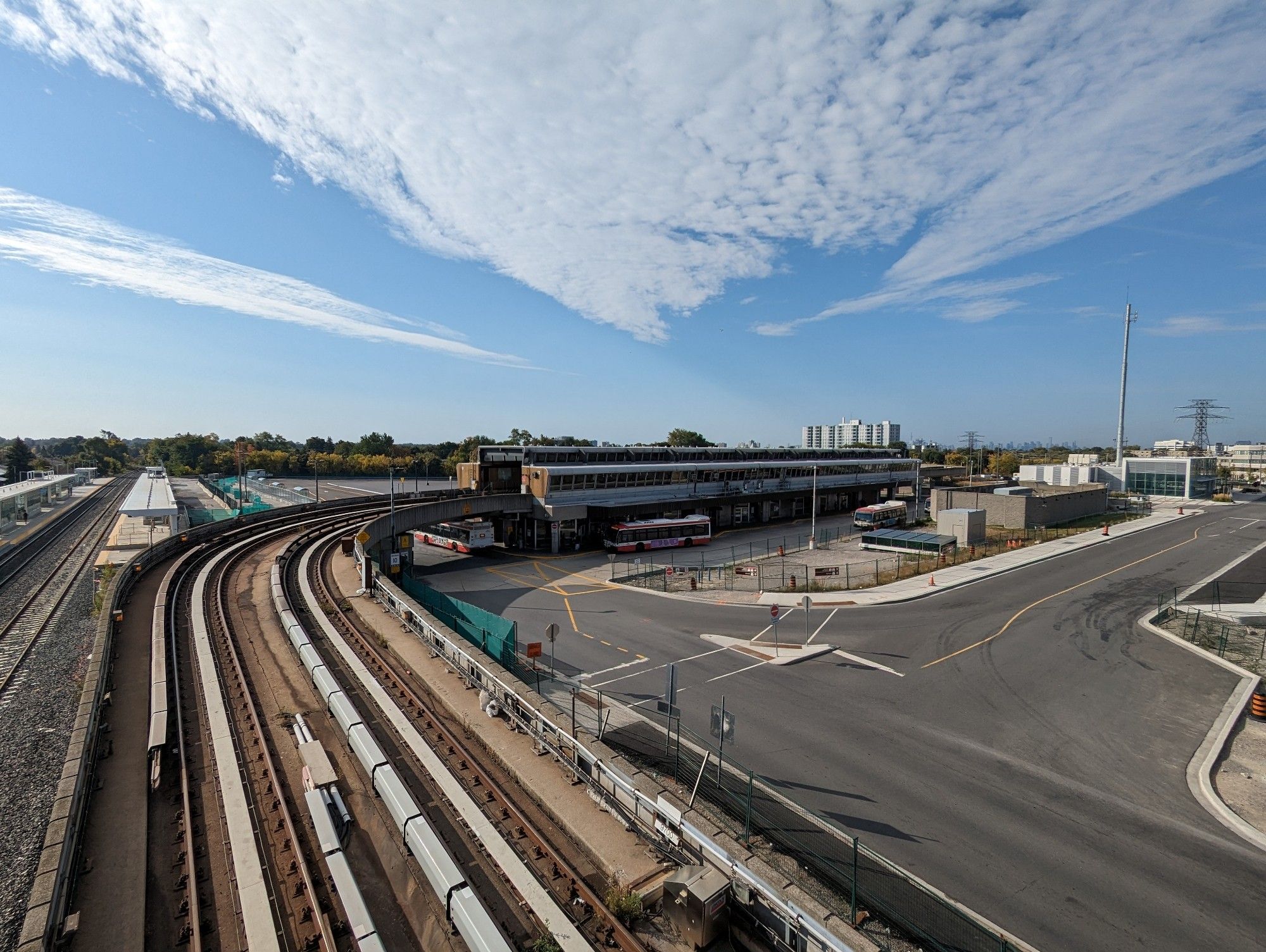
Continuing west, we begin ramping onto the Guideway proper. This leads you all the way from McCowan Station through to Scarborough Centre and McCowan stations. Community leaders in Scarborough have already jumped on the idea of converting this into an elevated park, including a former director of the Scarborough Business Association and now TTC Chair Jamaal Myers. It seems like a no-brainer. The stretch through Scarborough Centre will be a pleasant gauntlet alongside the growing number of condo towers.
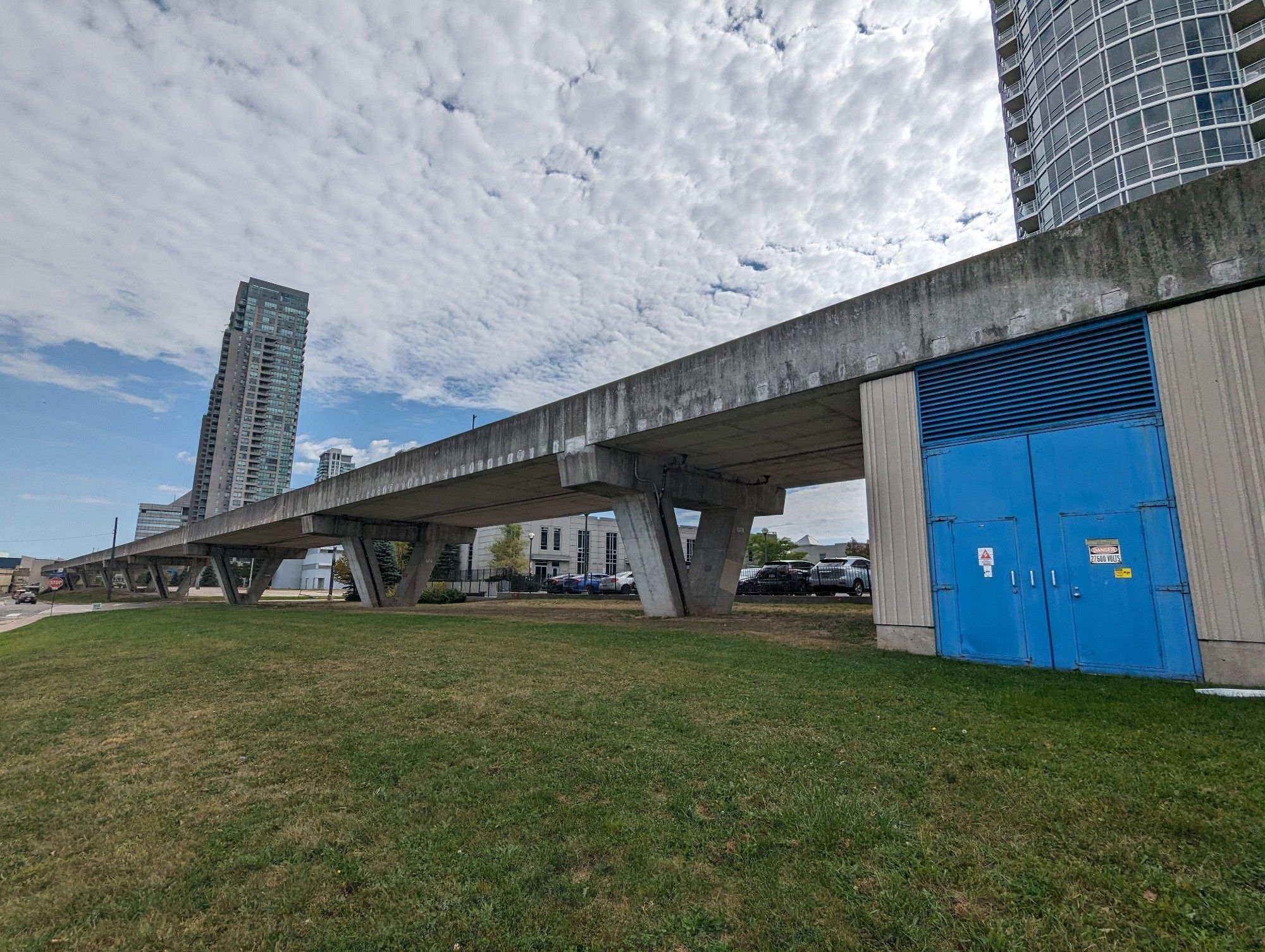
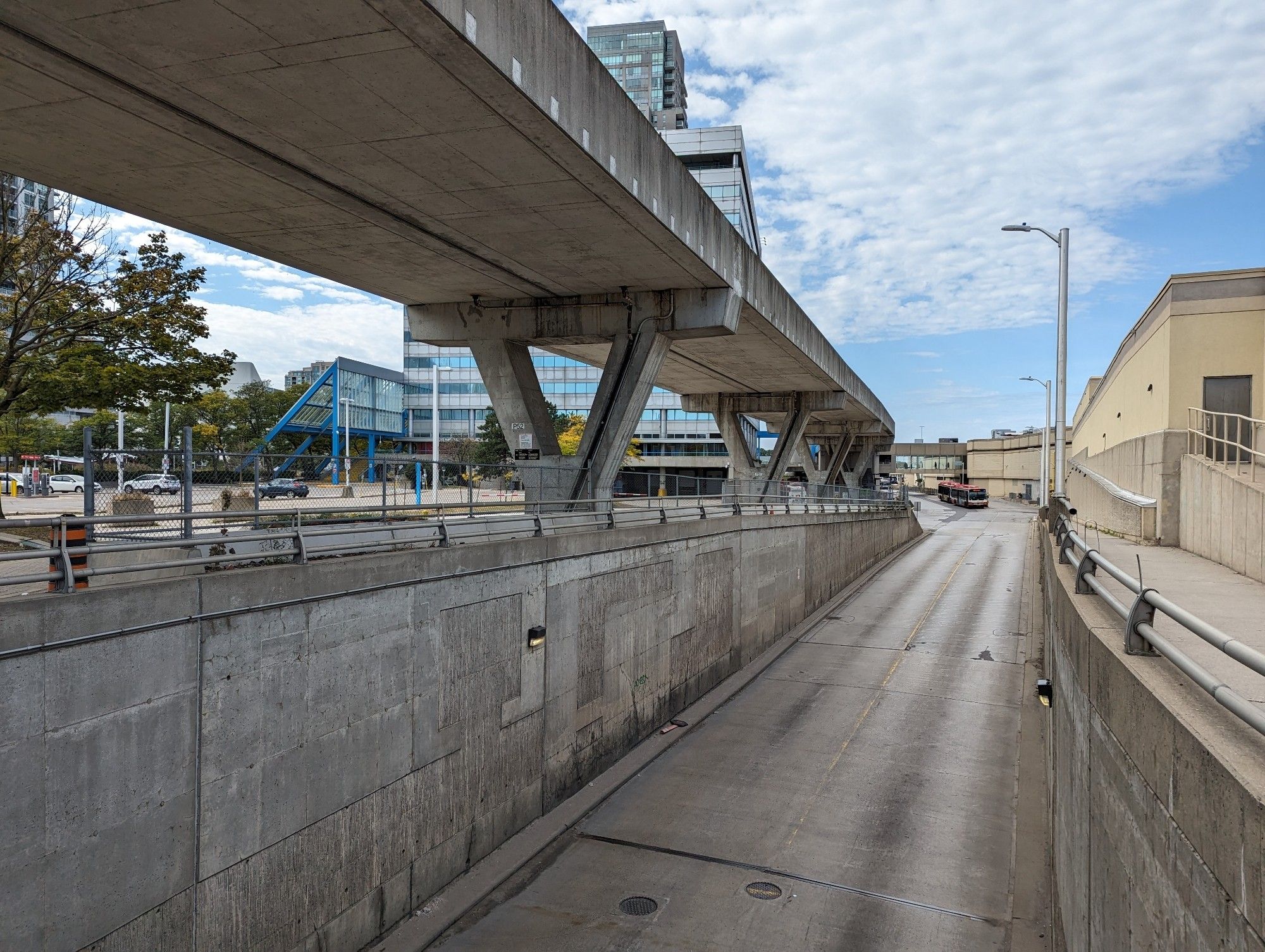
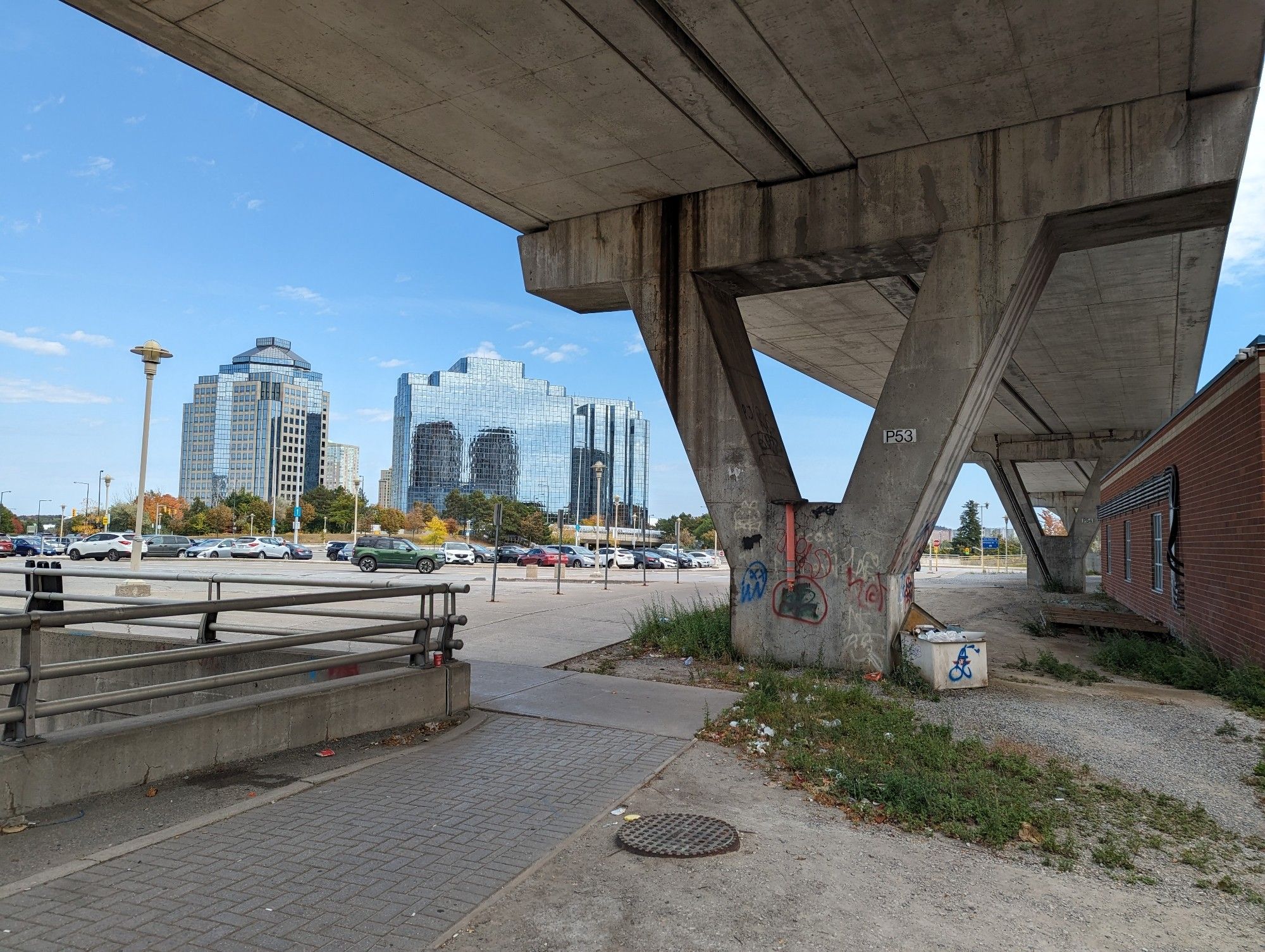
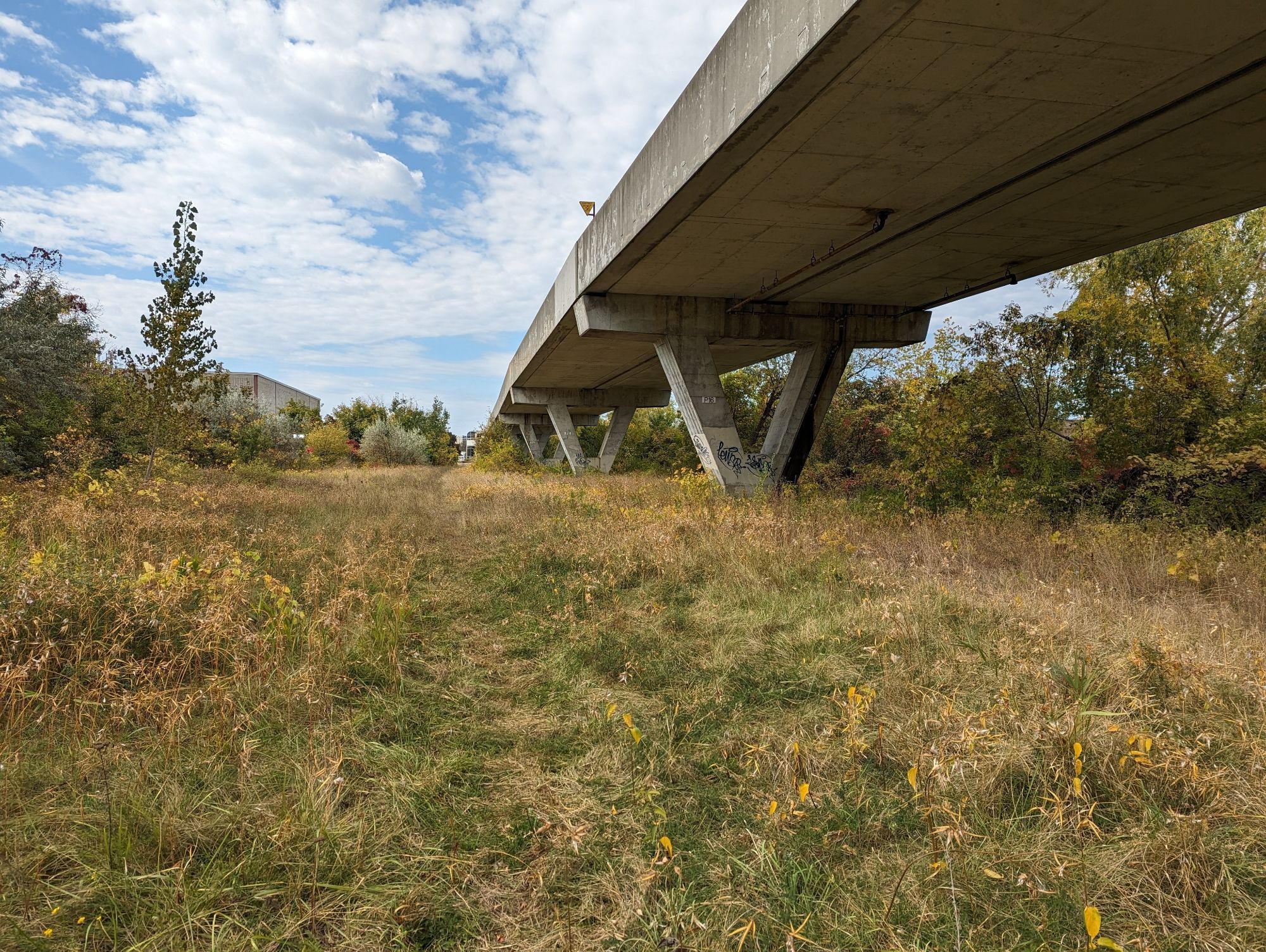
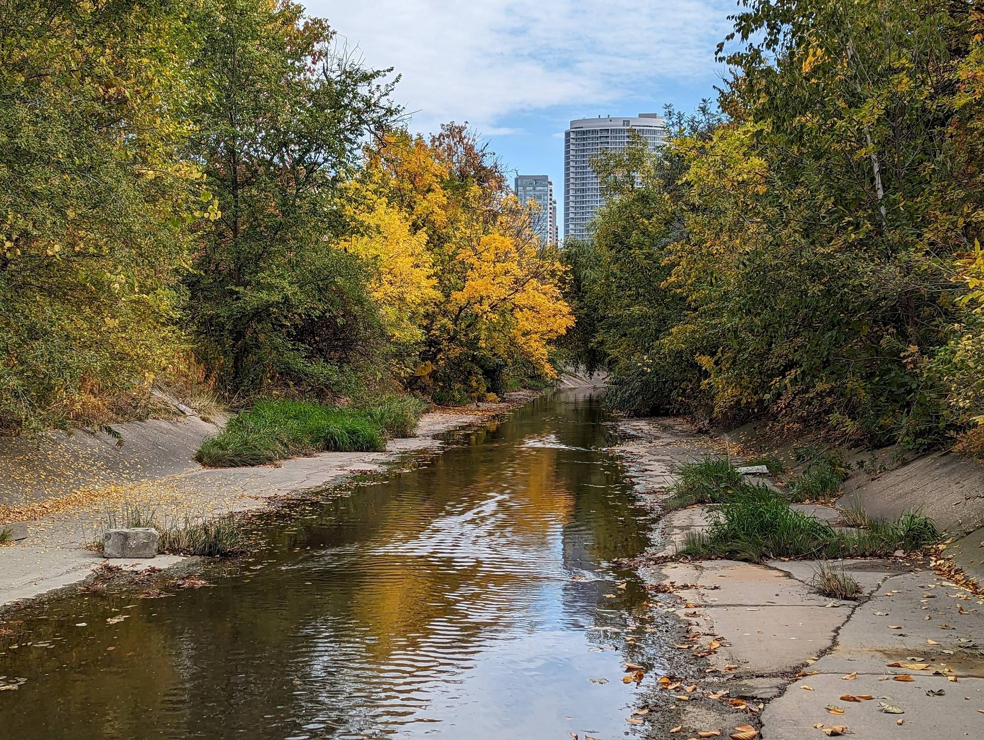
I hesitate as we continue west over Brimley Road. This section of the RT is less than pleasant, as you will be treated to the noise and odours from two paper / packaging facilities on Progress Avenue. It’s not ideal, but I don’t think it’s a reason to not do it. Despite being a view of industrial backlots, it’s also home to the Bendale Branch of West Highland Creek. Continuing the elevated park out here could forge a great new connection to Birkdale Ravine, itself a gateway into a vast network of existing green spaces. It could also be a point for a future connection northwest to Kennedy Commons and numerous apartments west of Kennedy / south of the 401.
Tunnel
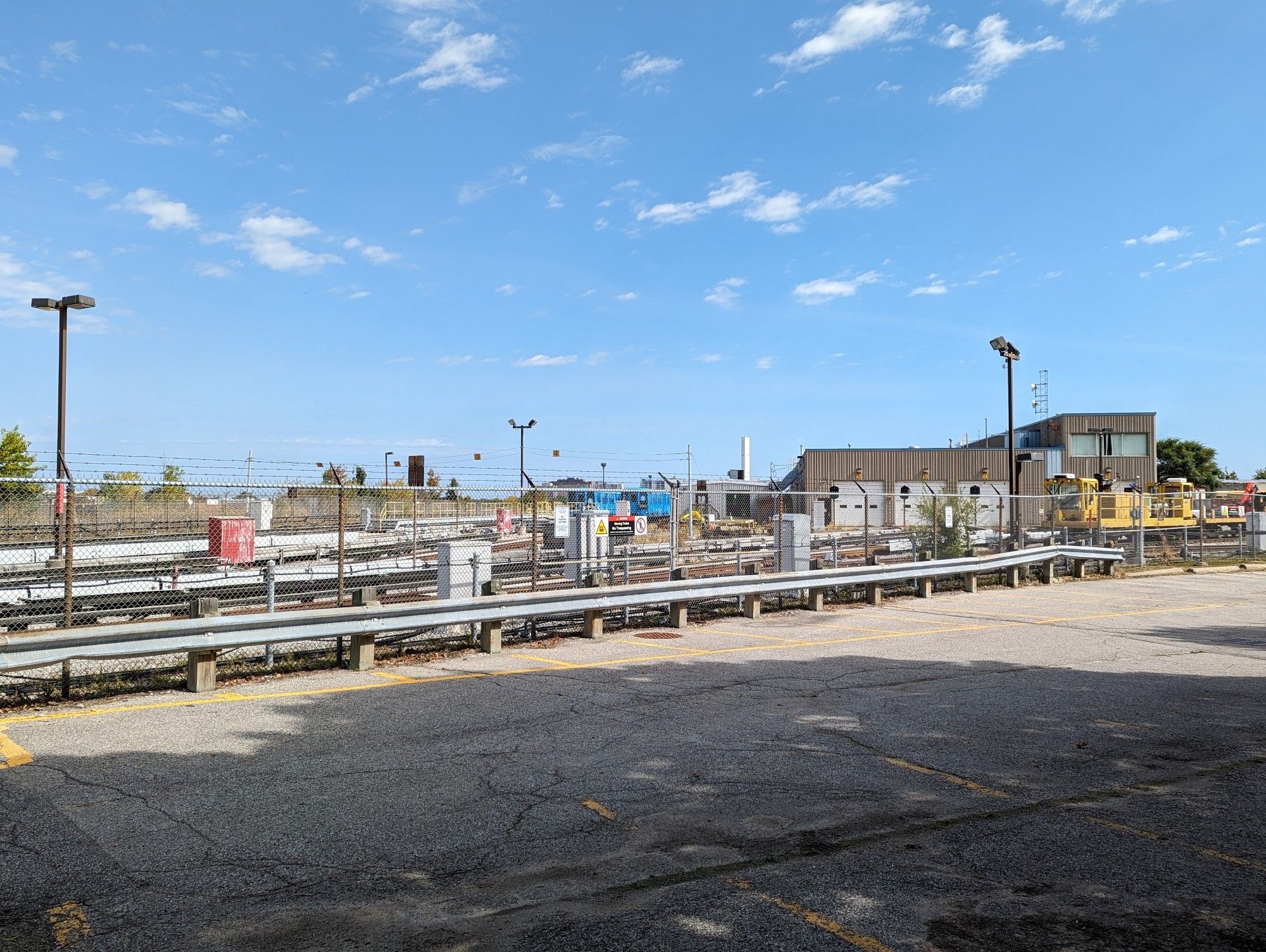
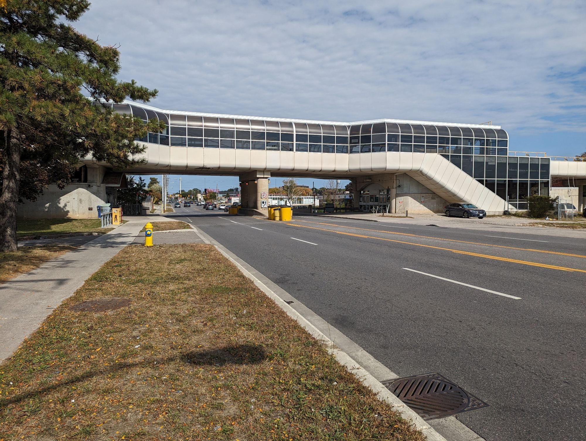
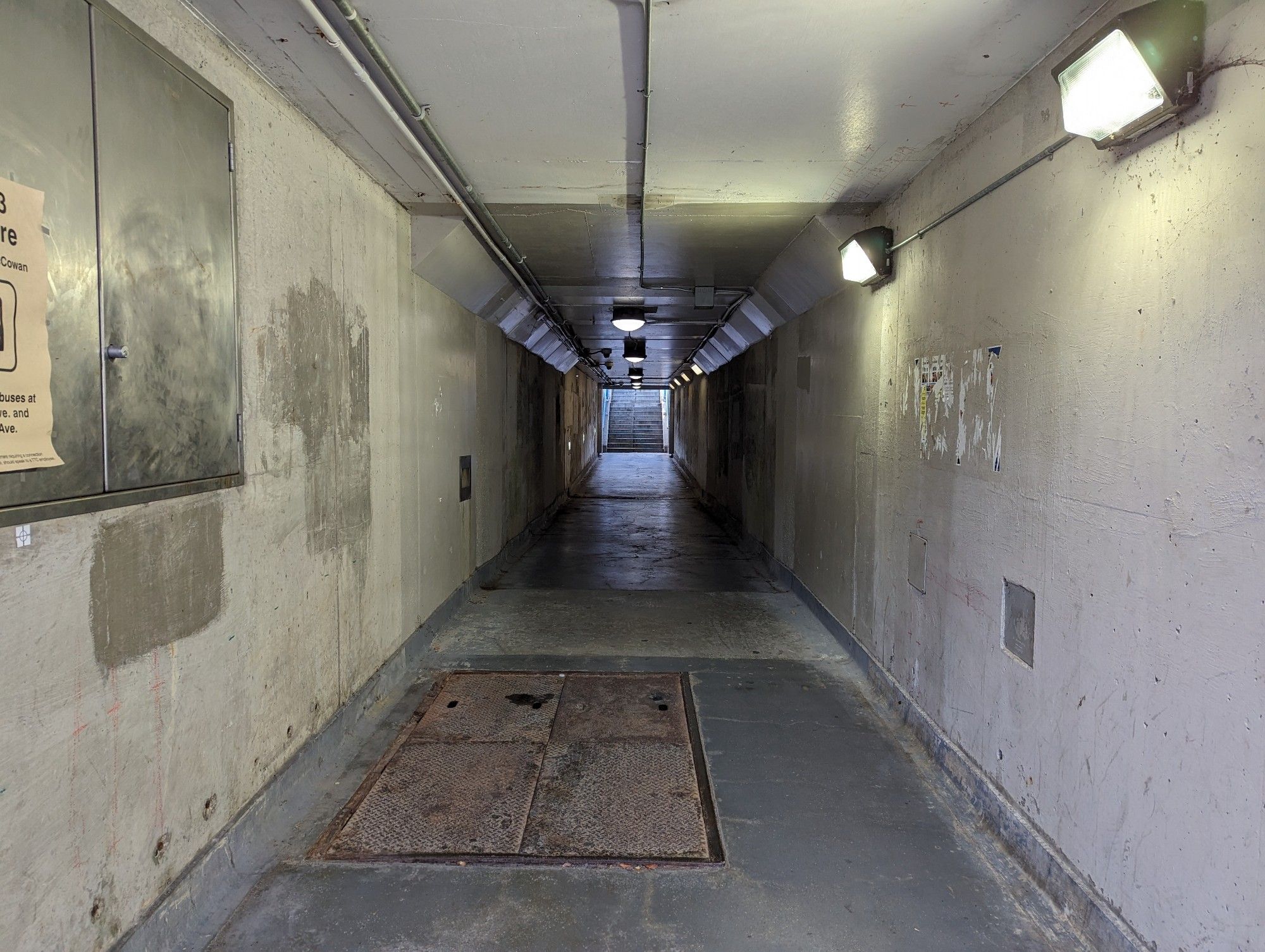
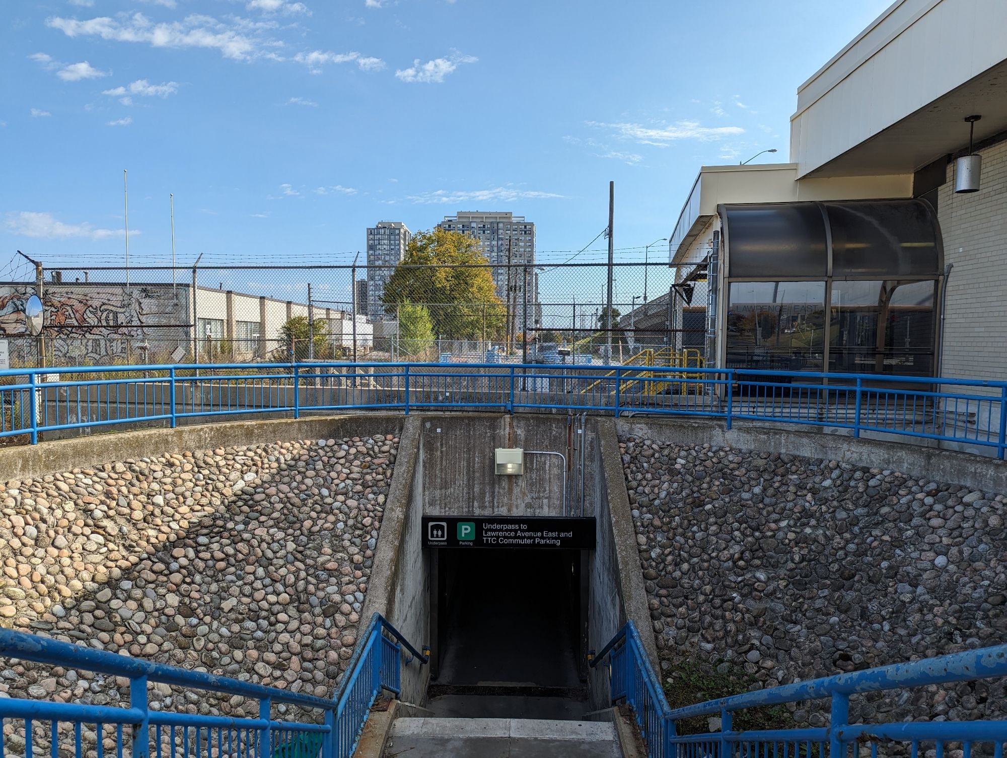
West of the Bendale Branch is the flyunder; the tunnel that took RT trains from the guideway, under the GO Transit Stouffville Line to Ellesmere Station. I am conflicted on this.
On one hand, extending the elevated park through the tunnel would make a great grade-separated path. But on the other hand, it is 115 metres long, and prone to becoming a potentially dark and scary place. I wouldn’t be as concerned if this was nestled in a core area with lots of surrounding residential and commercial activity. But this is still an industrial spot without many eyes on the street. It would take immense effort and neighbourhood change to make it work, in my opinion.
I say fill it in. It’s tough to erase a useful piece of infrastructure, but it’s not worth trying to force a feature that’s doomed by its location and dimensions, and putting people at risk. In lieu of this, it would be better to just extend the guideway over the tracks.
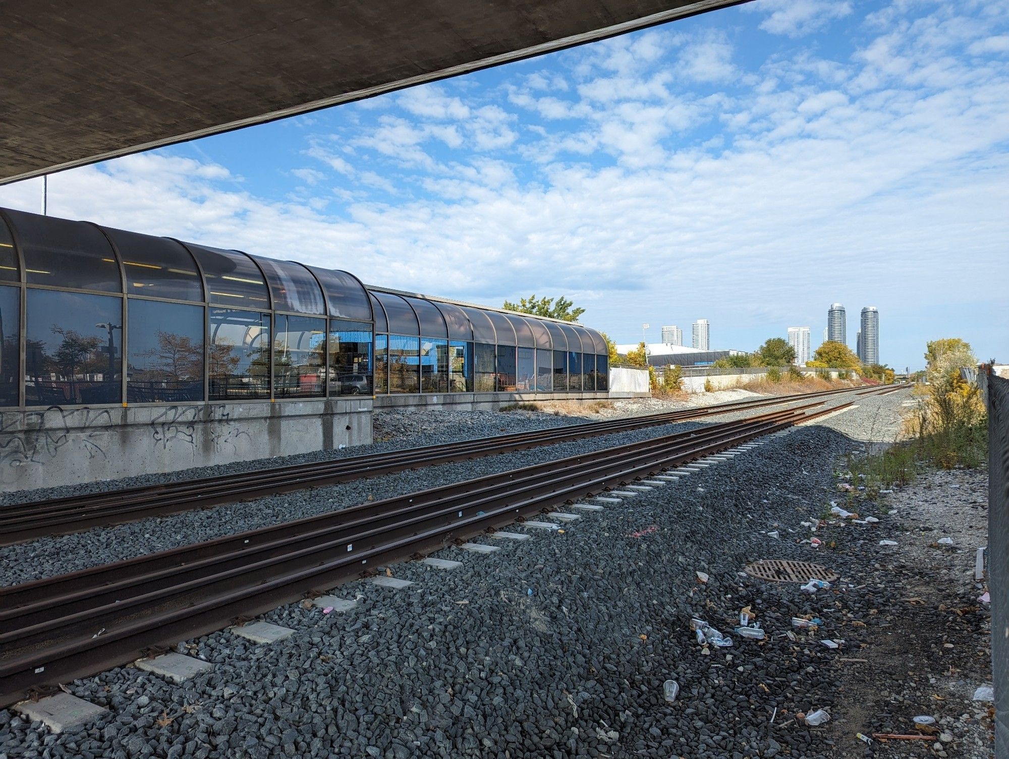
Stouffville Parallel
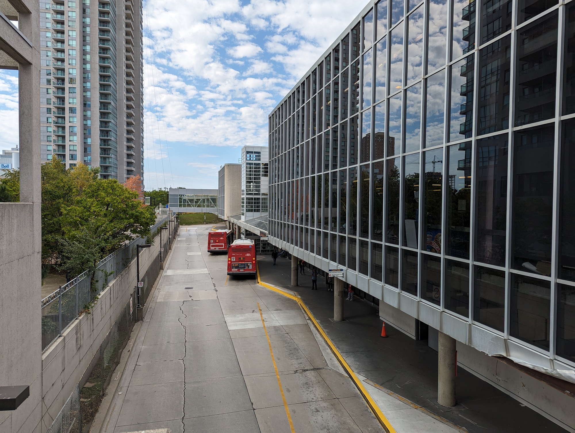
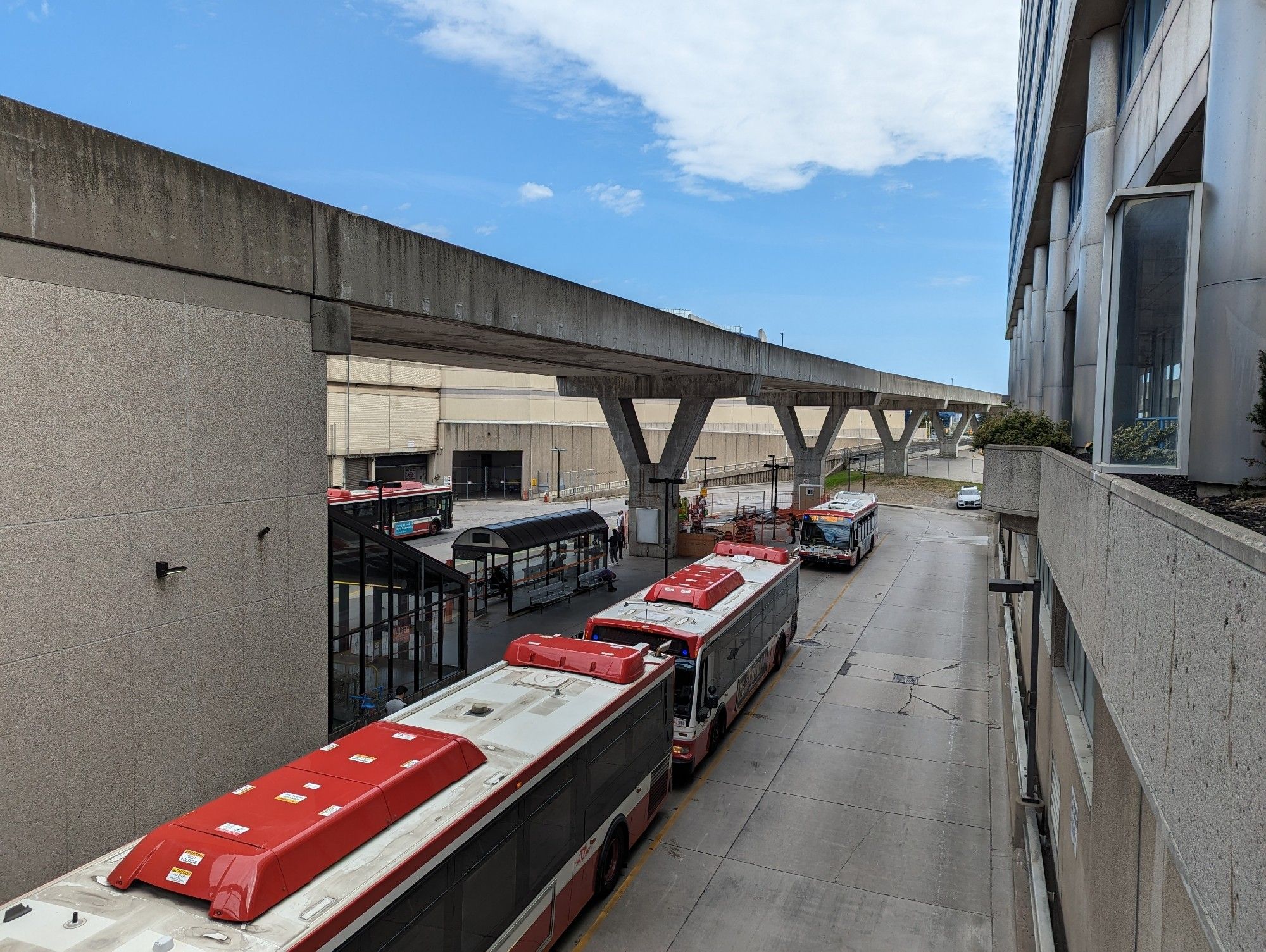
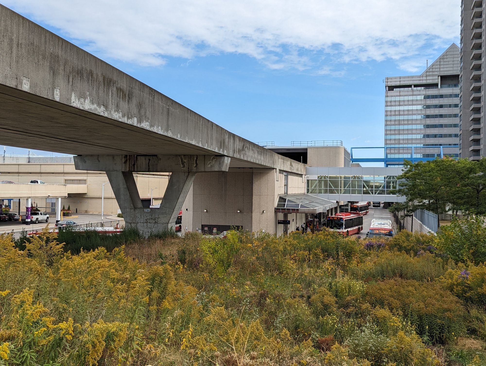
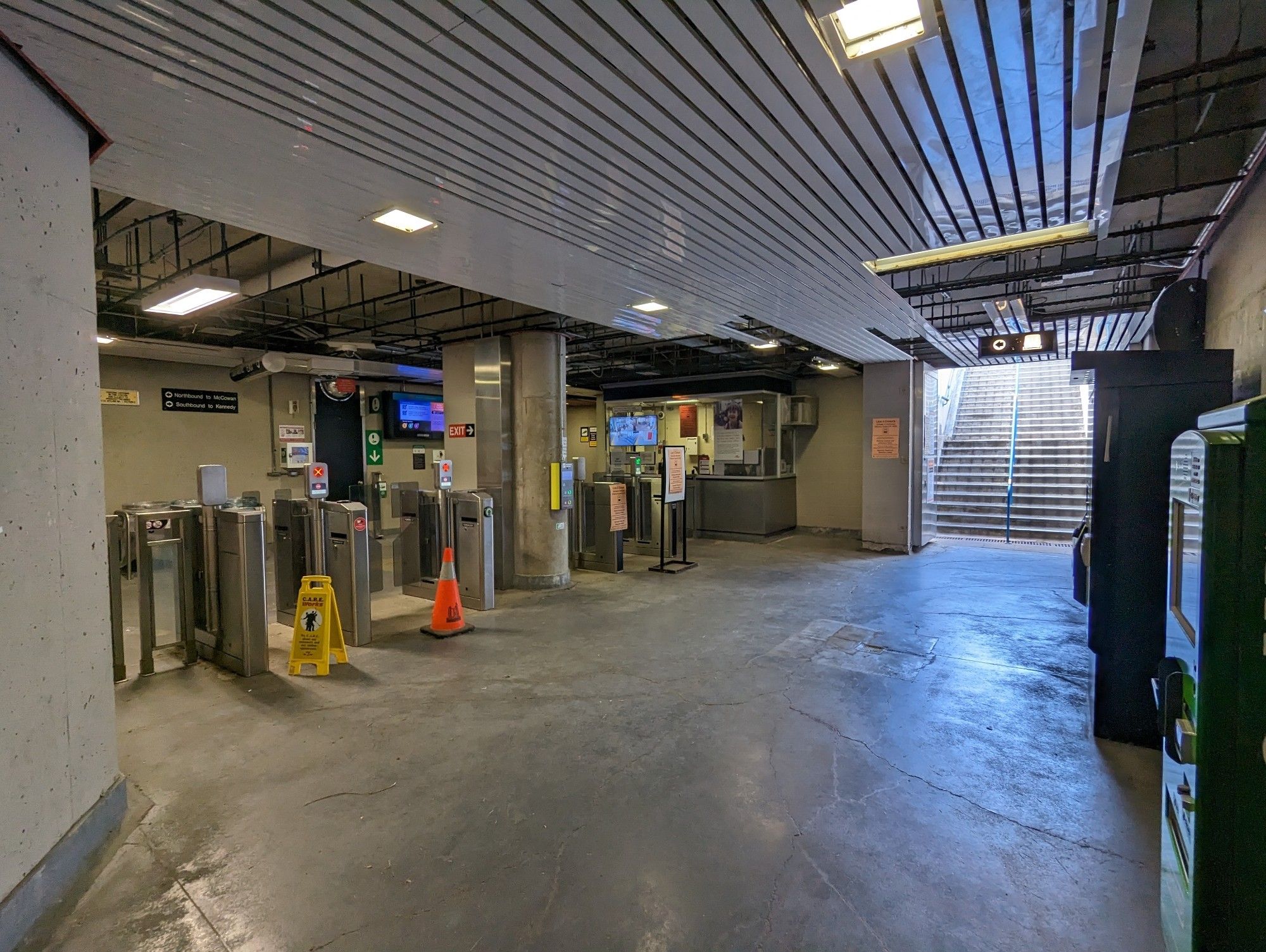
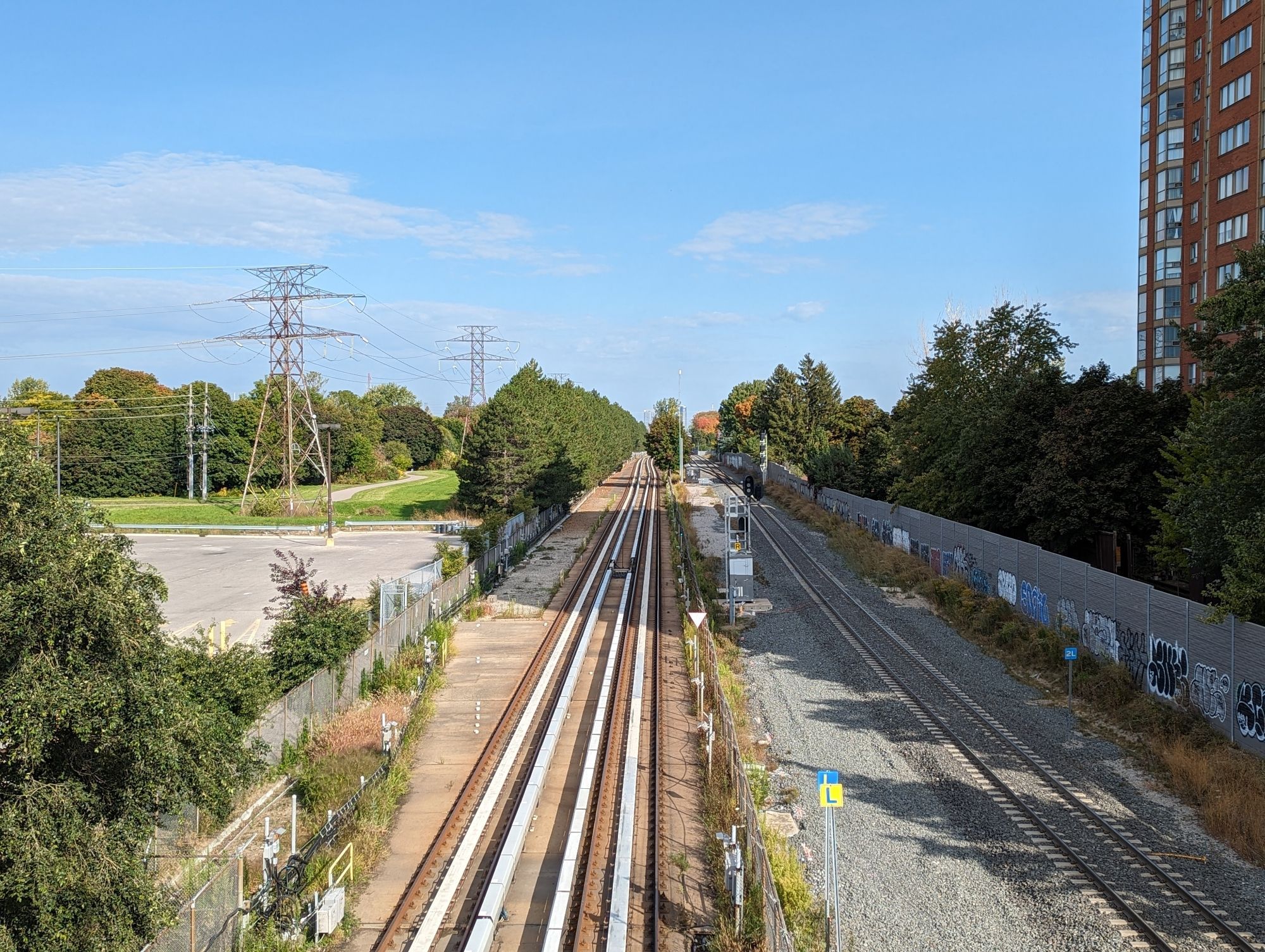
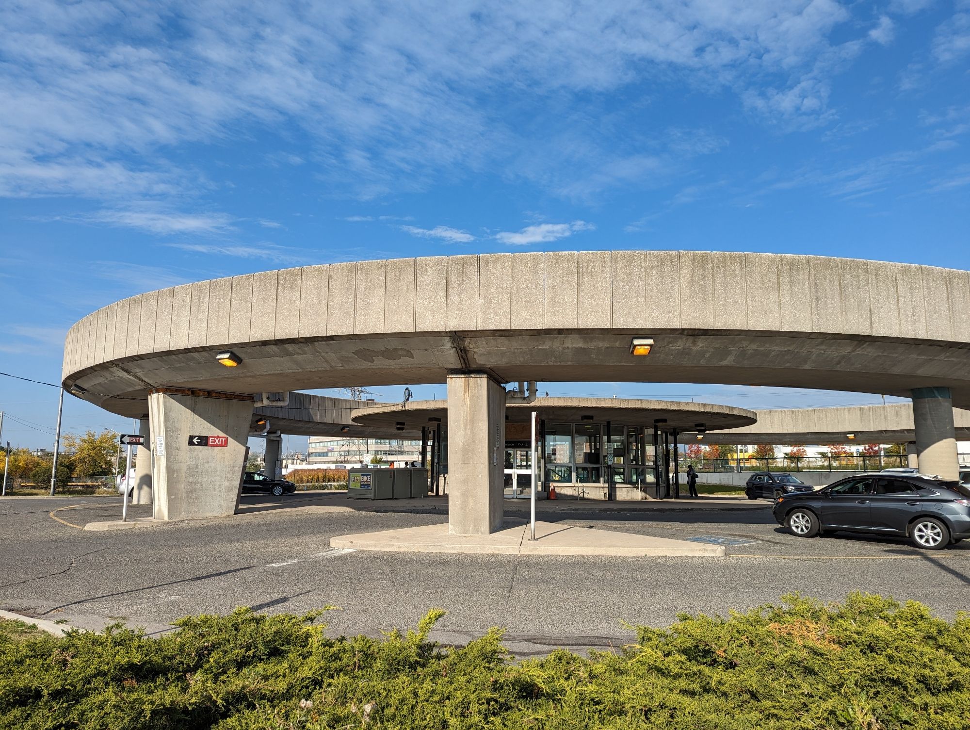
After the tunnel, the RT meets Ellesmere Road and continues parallel to GO Transit’s Stouffville Line. This takes you through the final three stations: Ellesmere, Lawrence East, and Kennedy.
In the interim, there’s a case for converting it to a dedicated busway. This is certainly what Mayor Olivia Chow wanted, and it sounds like it’s going to happen. As much as I advocate for walking space, I certainly think this is the best use for the former RT route.
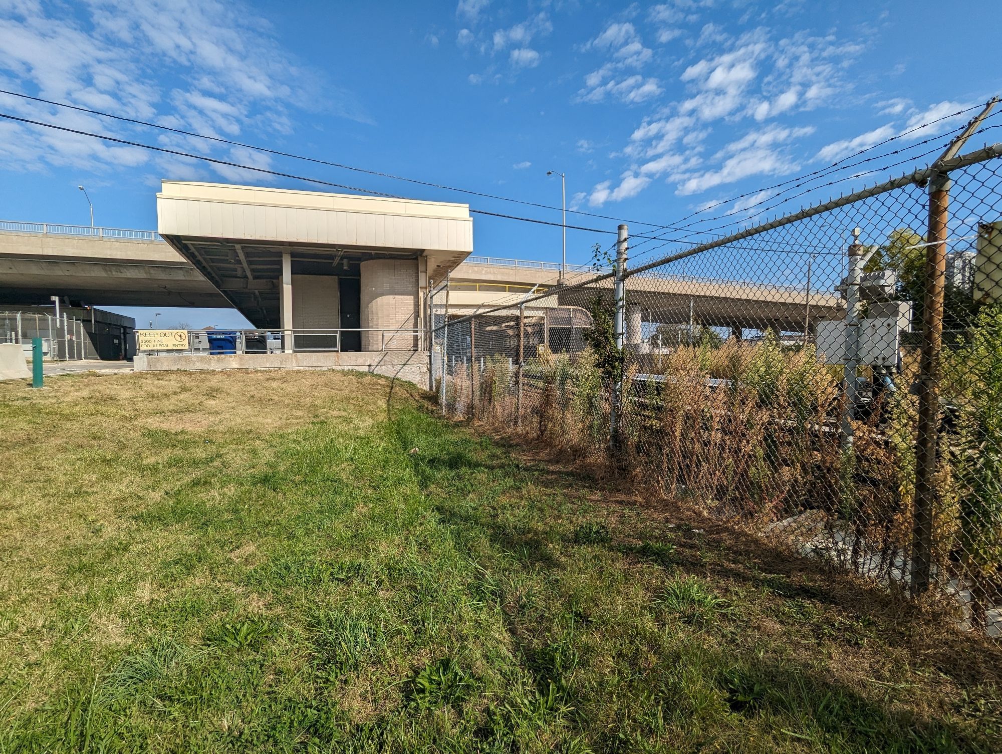
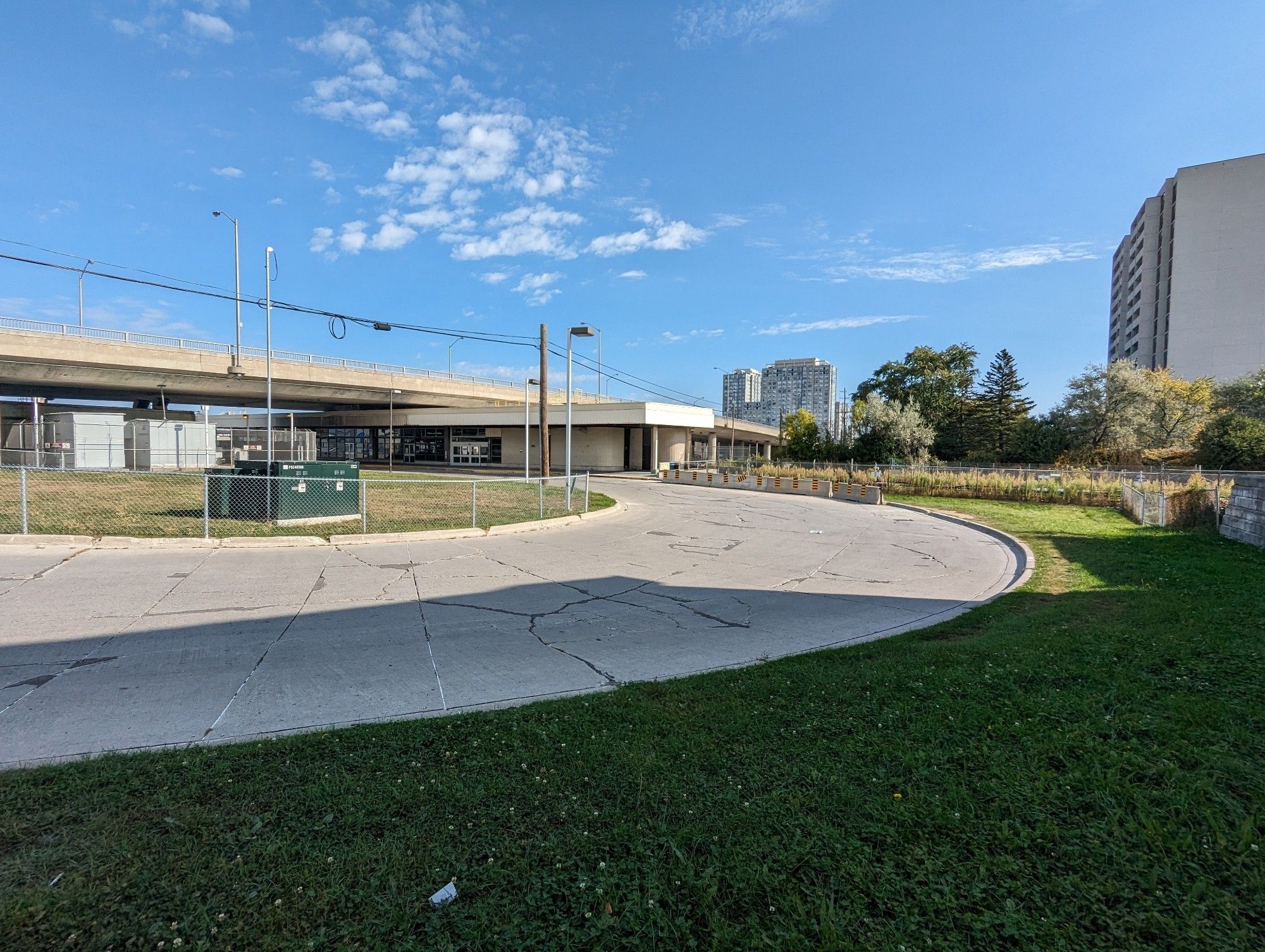
The former two stations are, just like the yard, candidates for housing. However, they are on the smaller side, and will be constrained by setbacks to large bridges and the railway corridor.
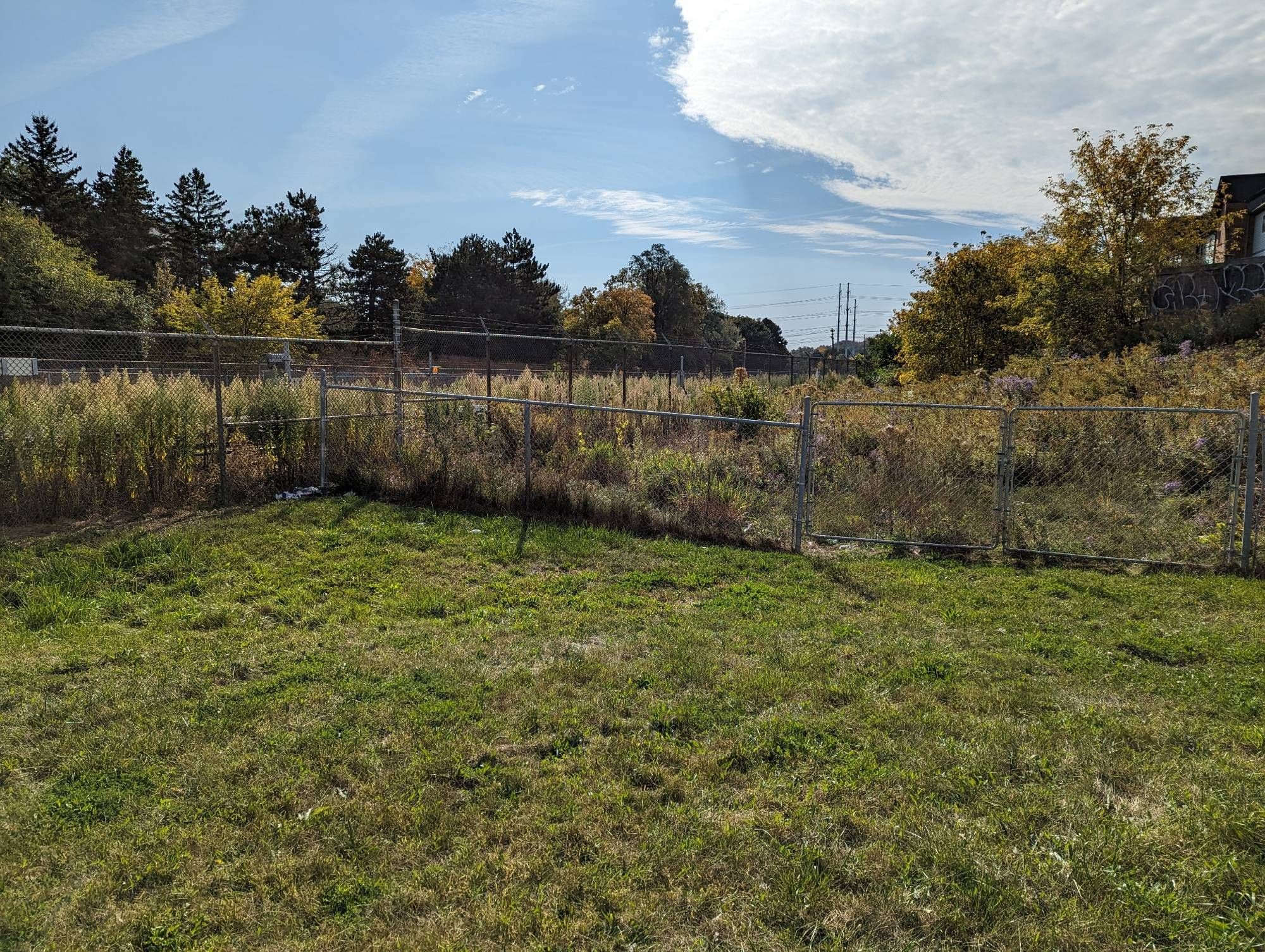
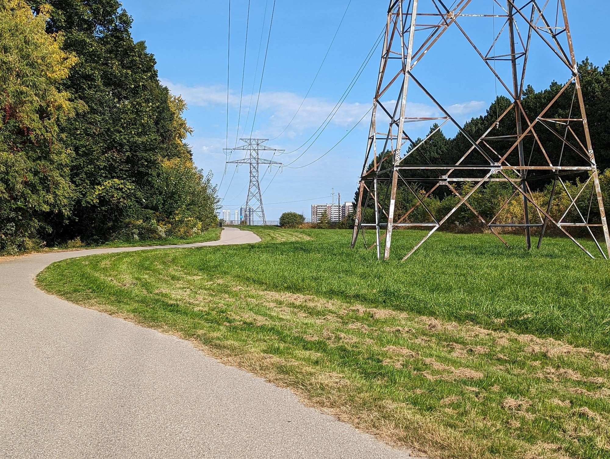
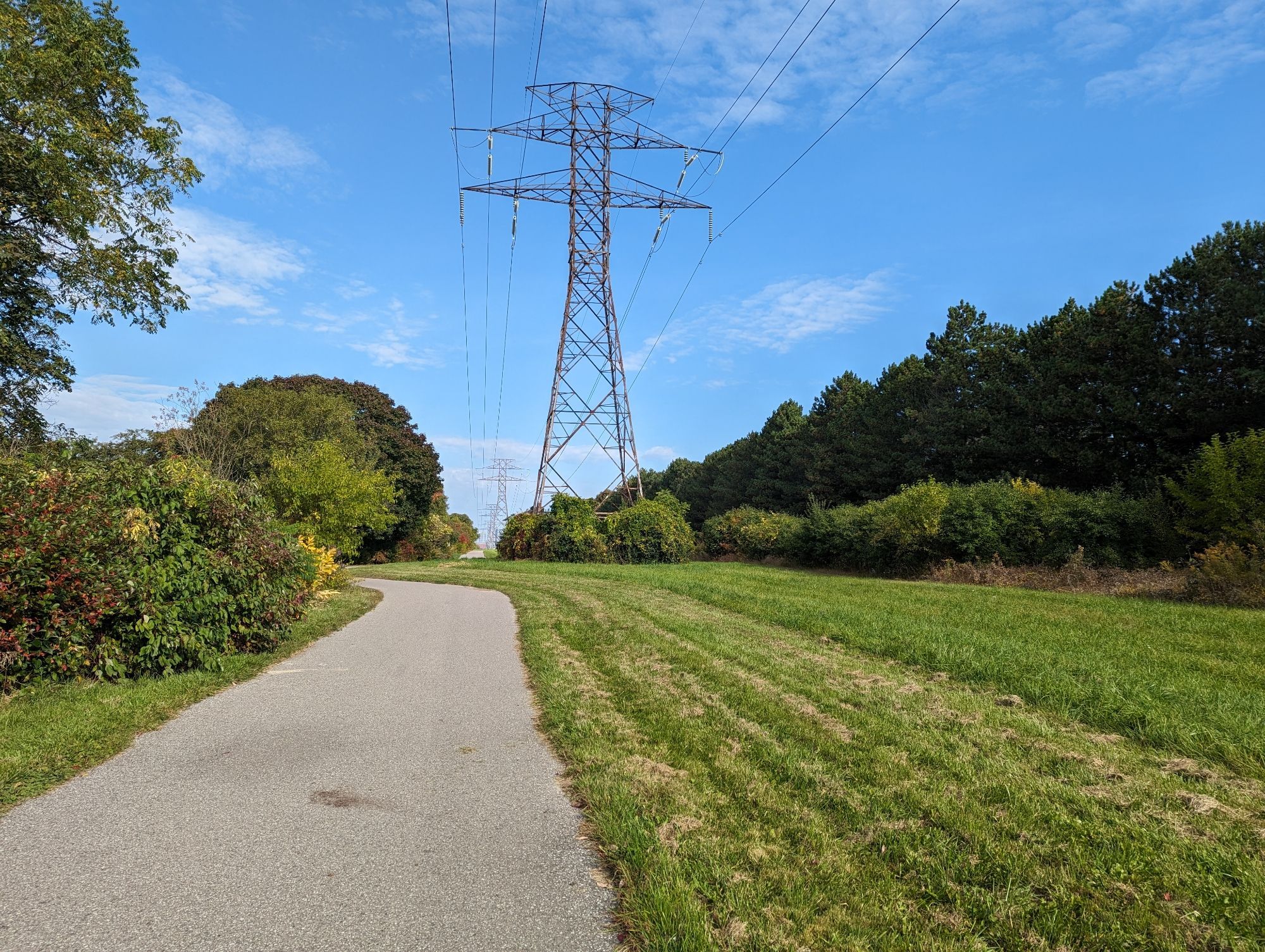
Ultimately though, this should be an opportunity to ensure it remains a critical utility corridor. That doesn’t mean it can also expand public space at the same time. The corridor from Ellesmere to Lawrence East is not direct, and almost impossible to do directly. South of Lawrence East through to Kennedy is a dream, an active meadow and treed way with an asphalt trail. It’s almost a pre-cursor example to the Meadoway project bounding it to the north.

We shall see what the future holds, but this is a once in a lifetime opportunity for something unique with character, and I hope it does not face a slow death through rash decisions and value engineering.
