Growing up in southwestern Ontario as a kid, and eventually as a teenager without a drivers licence, I didn’t get around a lot. Then that began to change as I applied to university, and started consider where I was going to live and study for 4+ years. I got three acceptance offers, and was weighing them all.
Then I went to tour the campus and the city of Guelph. After one visit, I was set on it. I fell in love.

So as I expand to a fourth city in the Metroscapes universe, I am strolling in a bit with rose-coloured glasses. Yet at the same time, after exploring other cities, it’s gone from the big town where I began my independent life to something that feels small and isolated.
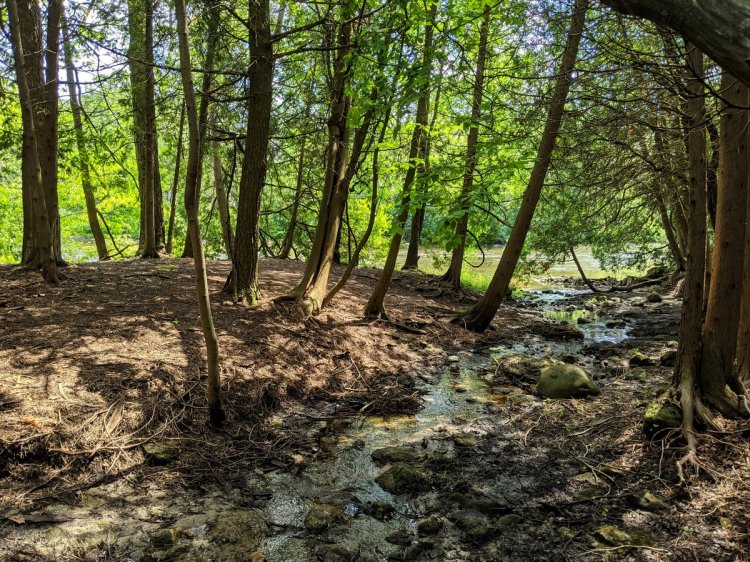
Toronto, Hamilton and the Tri-Cities (at least my scope of walking an analysis) cover 634, 323 and 320 square kilometres, respectively. Guelph comes in at a fraction of that, 88 square kilometres or urban area all surrounded by rural lands. On top of that, the watersheds are getting downscaled too. Toronto has 6 major rivers and creeks draining to a great lake. The Tri-Cities has one major river, the Grand River, and some notable tributaries. Guelph is intersected by the Speed River, which is actually a tributary of the Grand.
Nonetheless, I’ll do what I do, even at these smaller scales. I’ll cover the city on foot. I’ll delineate some neighbourhoods. I’ll break down the subwatersheds. I’ll highlight the hydro corridor (yes, singular).
I’ll also be exploring a changing city. It’s estimated to have grown up to 20% since I first moved there over a decade ago. The last greenfield area in the south end is slated for development. The City is planning to annex a quarry pit to convert it to housing. The downtown has been building up with a new transit hub and relaxed height restrictions.
So I’ll be going down memory lane a bit, but covering the city with a new scope. I’ll be bound to run into a few surprises.

One thought on “Guelph: An Island Under Change”