Good morning from the Mount Pleasant area of Brampton. Today I’ll be following a pipeline corridor that cuts east-west through the upper middle portion of the city. Gotta head east from the train station, then start north of the Halton Subdivision (GO Transit Kitchener Line). Let’s go.


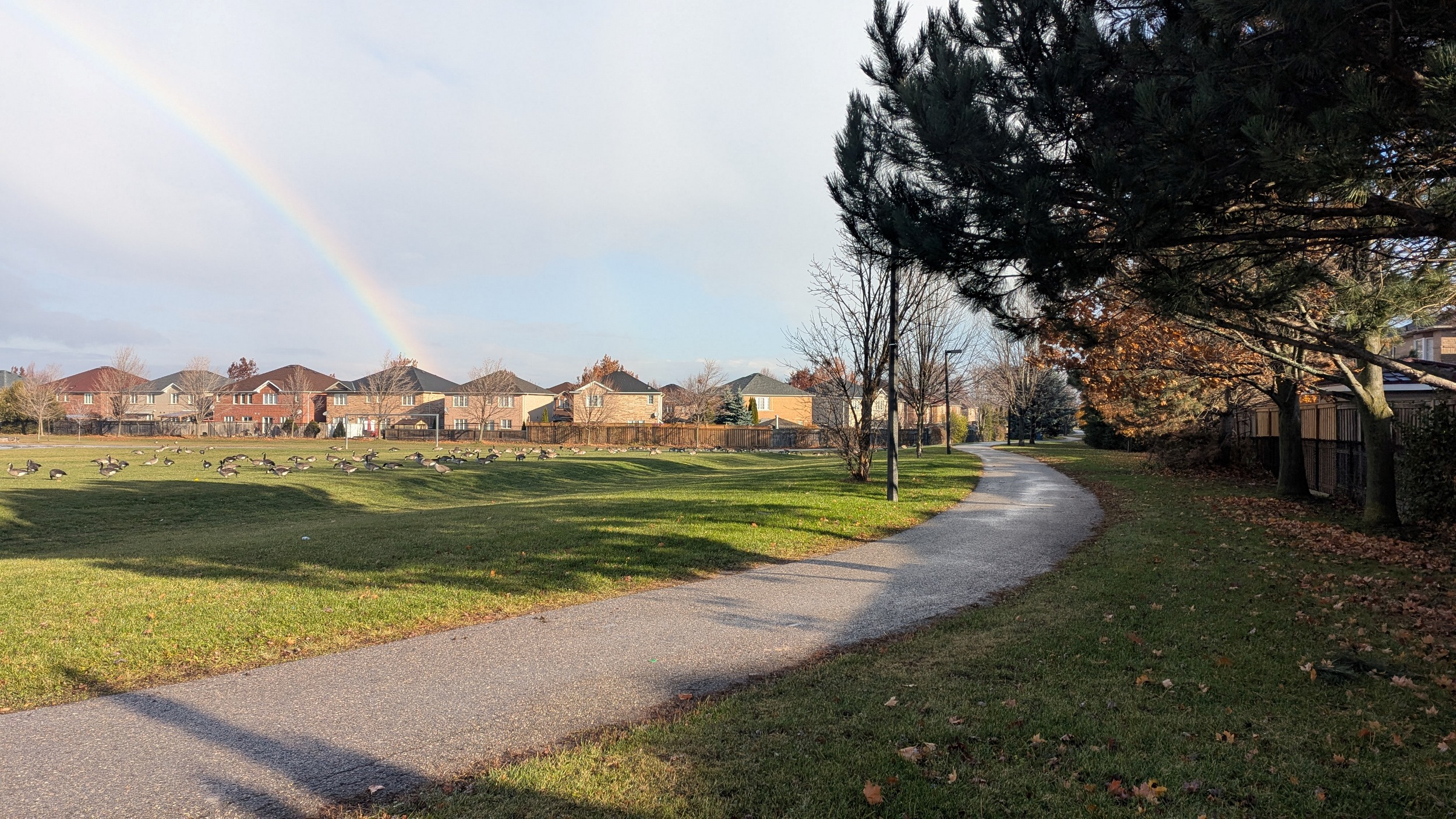
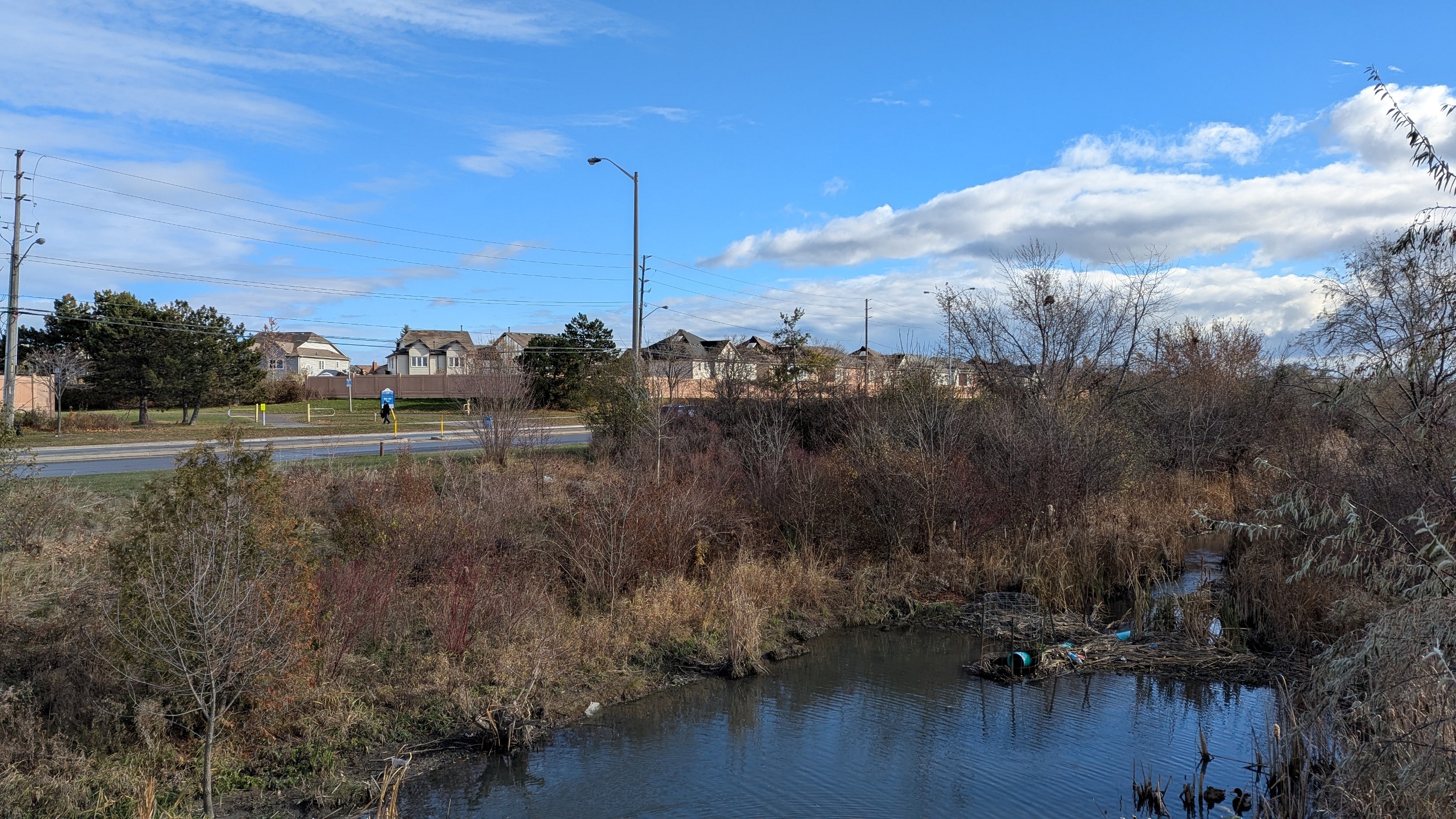
It’s off to a rough start, a couple of light showers before the sky clears. I start east of Mississauga Road where a stormwater management pond flanks the corridor. This grade separation over the tracks could serve as a great connection to the rest of the corridor to the southwest.


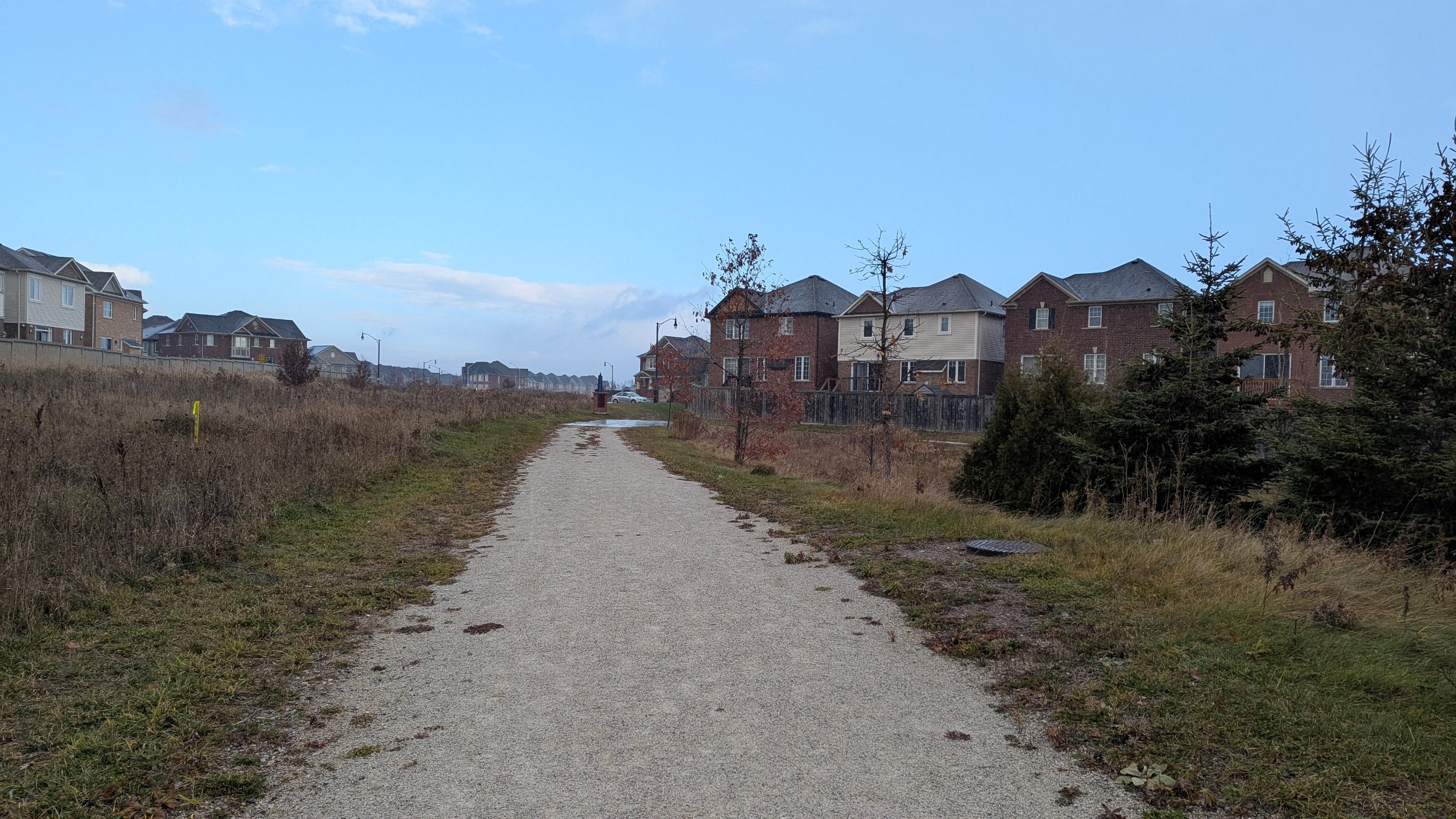

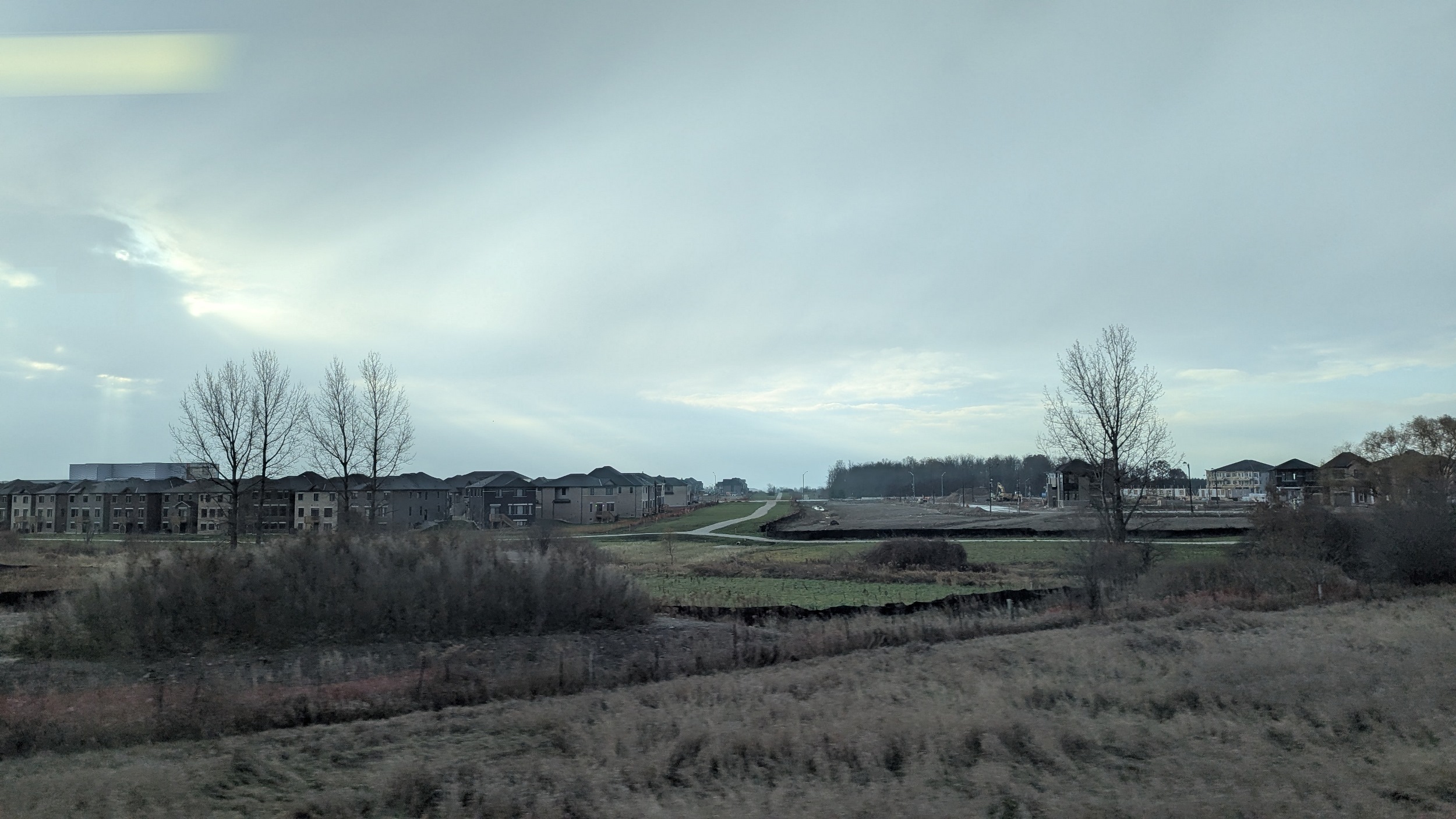
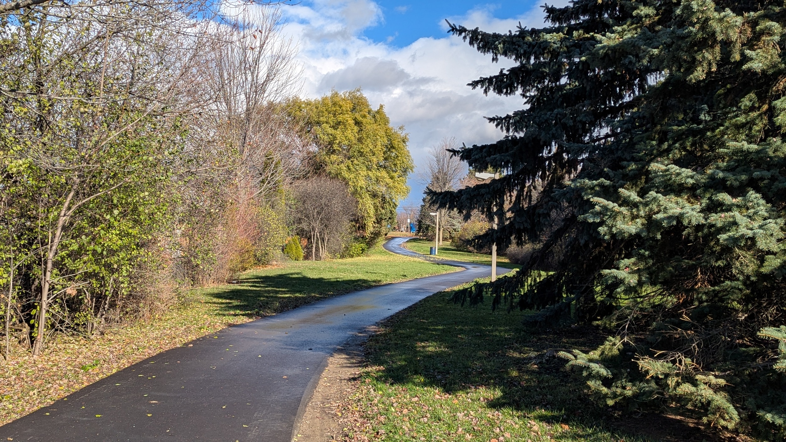
The sun comes out as the corridor bends from being diagonal to parallel with the street grid. After skirting between some wetlands, the trail transitions to a manicured strip between houses east of Creditview.


Cutting through some more residential blocks, and then flanking another stormwater management pond west of Chinguacousy. This is where I encounter my first detour, though relatively minor. A single family home with a large sideyard breaks the otherwise solid continuous trail.


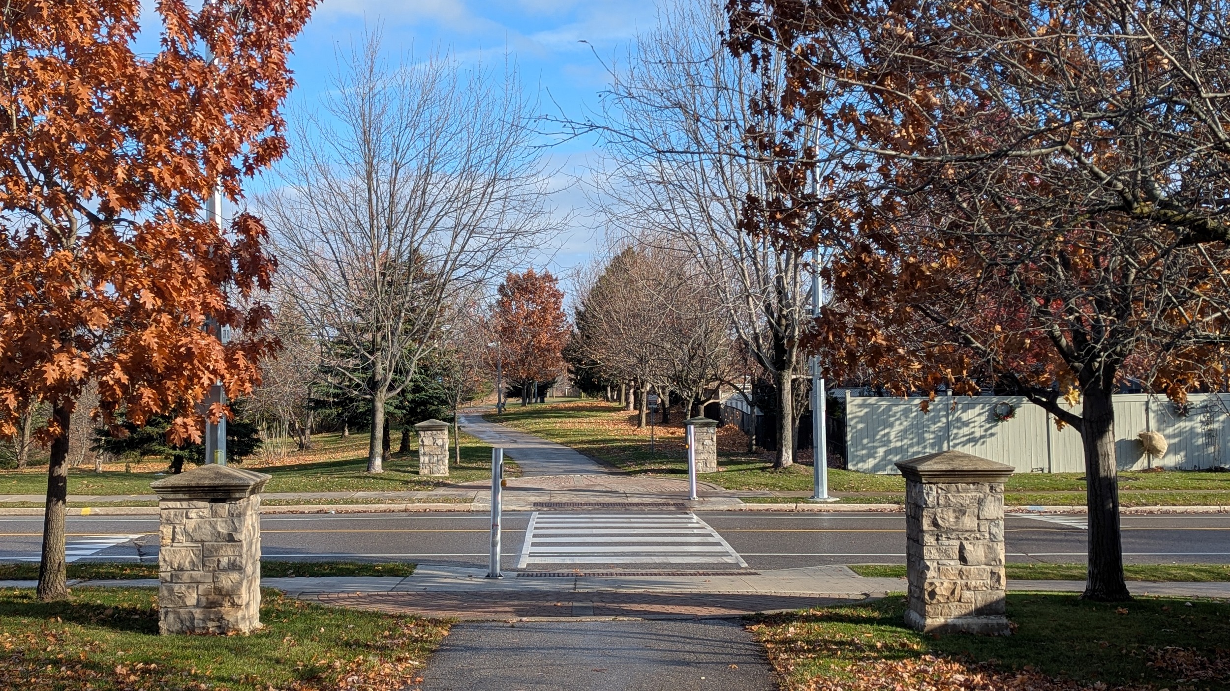
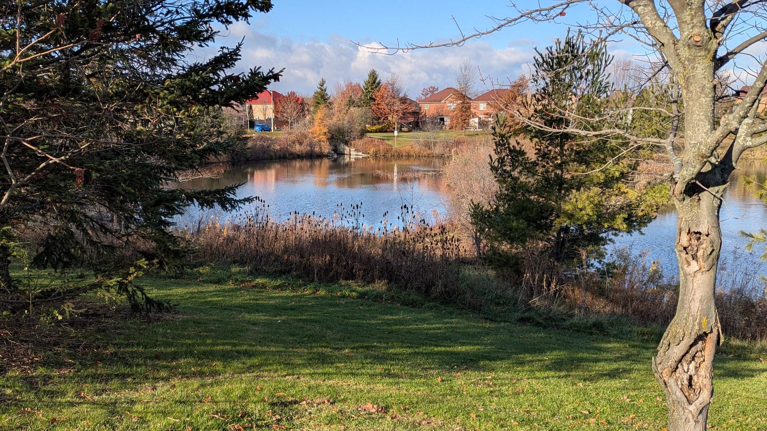
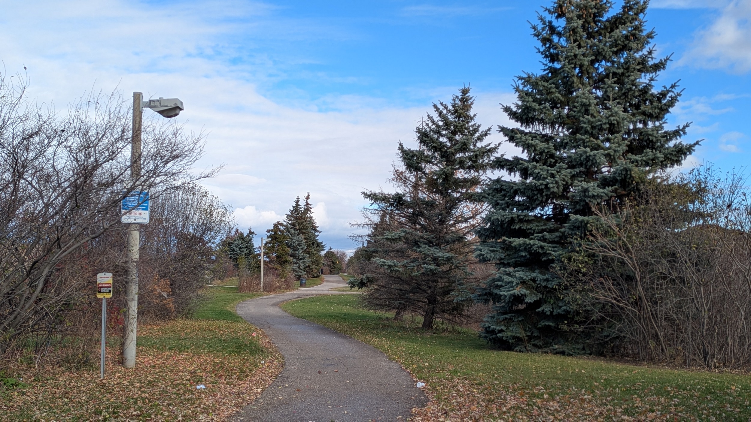
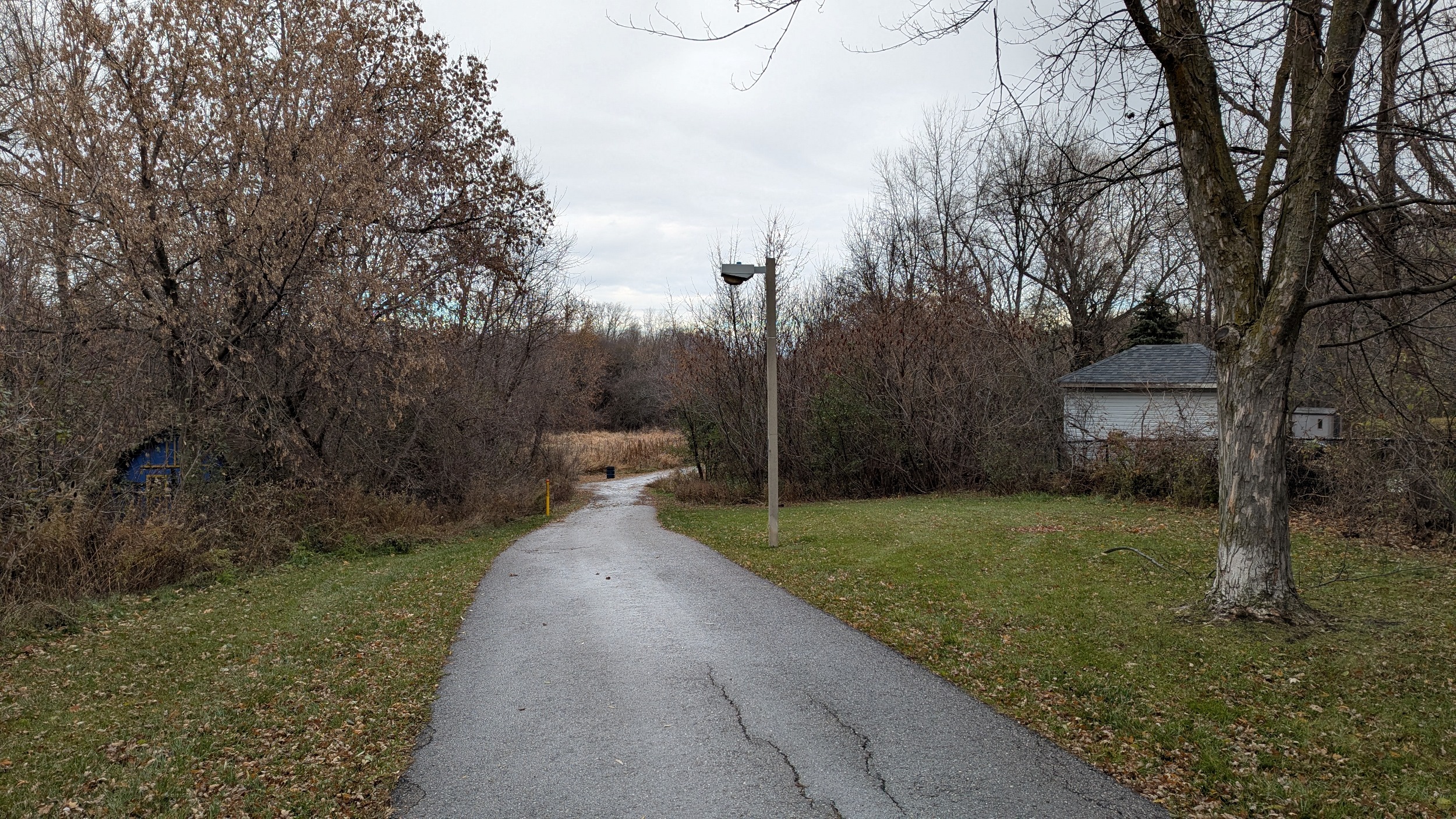
More storm ponds and small creek crossings along the corridor. The trail remains continuous, with great gateway pillars and pavers, as well as defined crosswalks across roads.


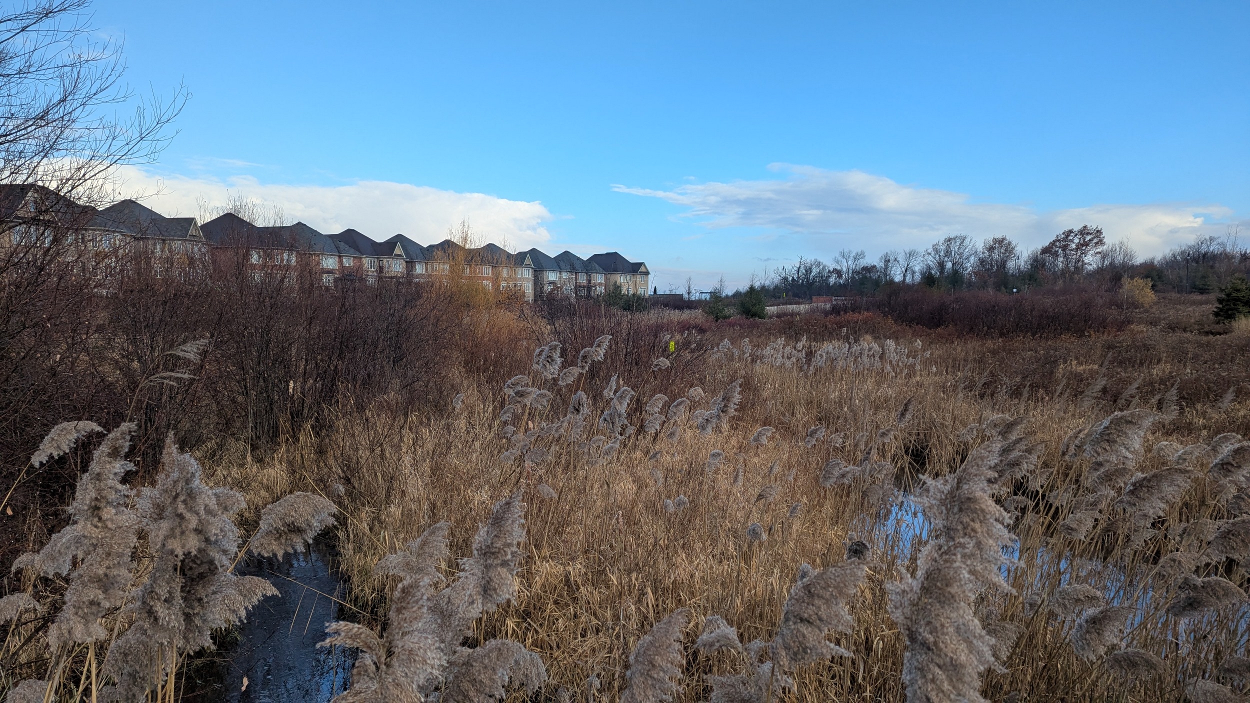
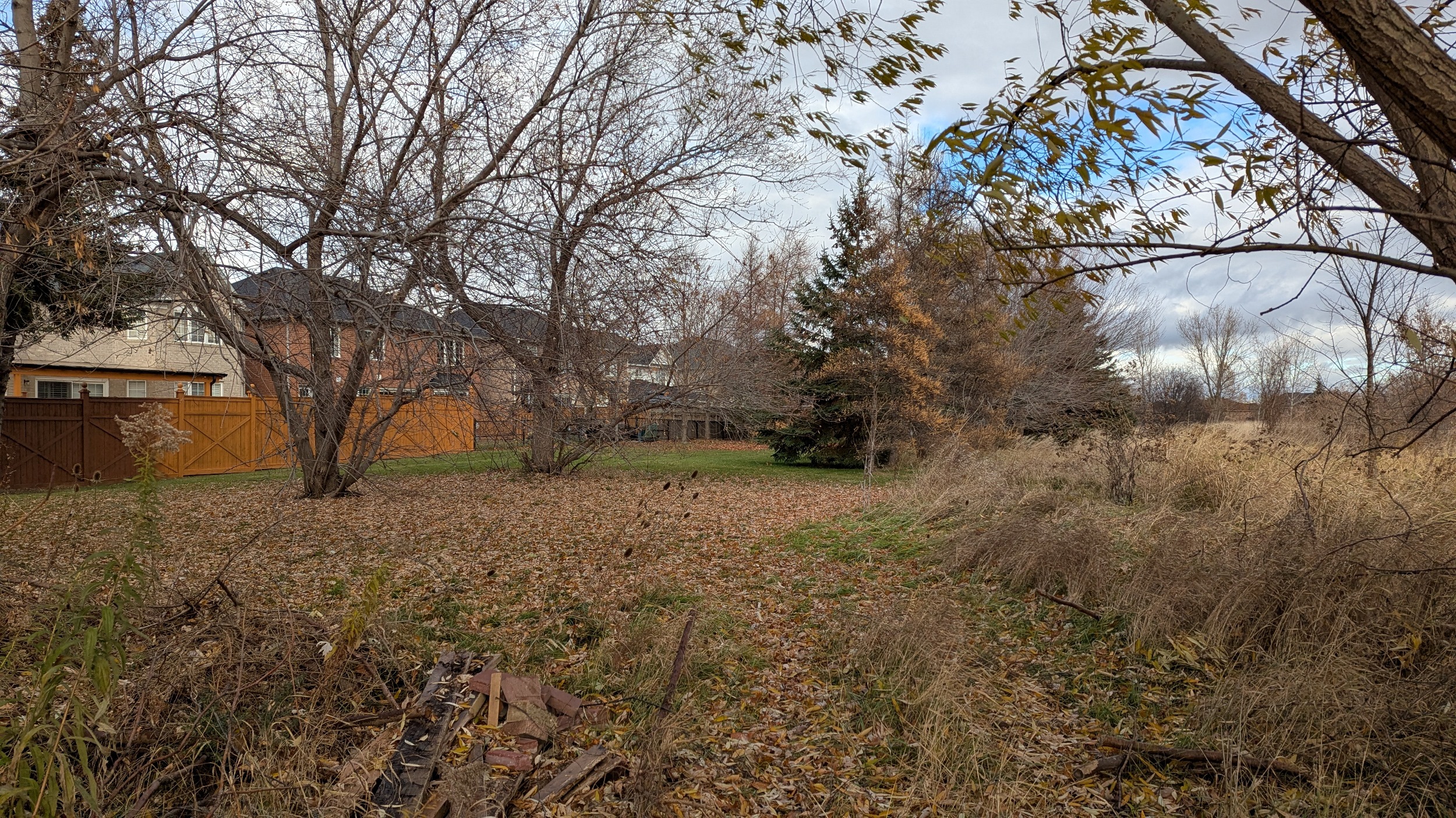
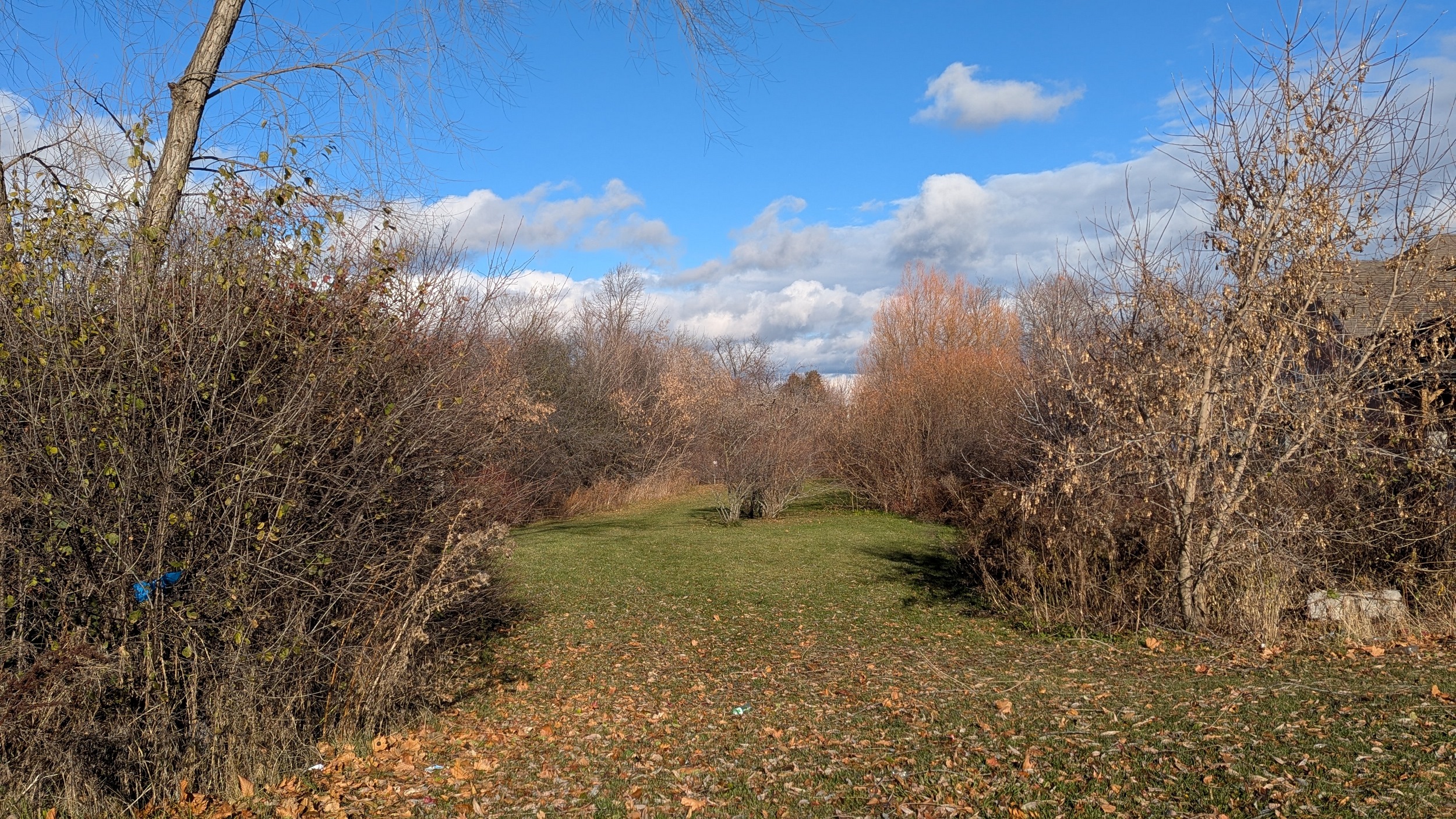
After crossing McLaughlin, there’s no formal trail. Despite that, it seems like it’s used by locals to access the local gurdwara. At Van Kirk Drive, it gets scrubby and I’m opting to detour. However, this would make an excellent connection to the future Orangeville-Brampton Rail Trail.


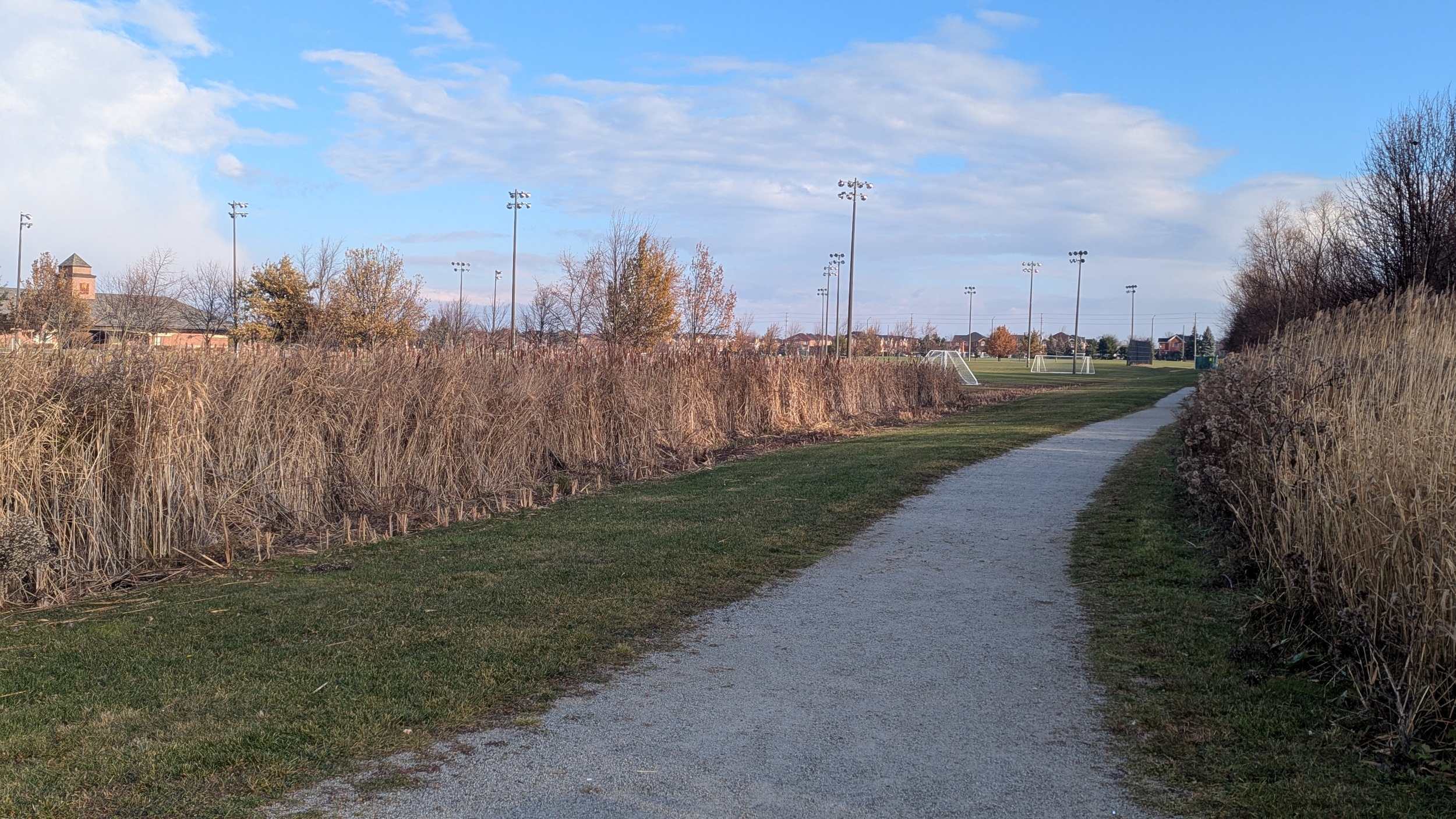
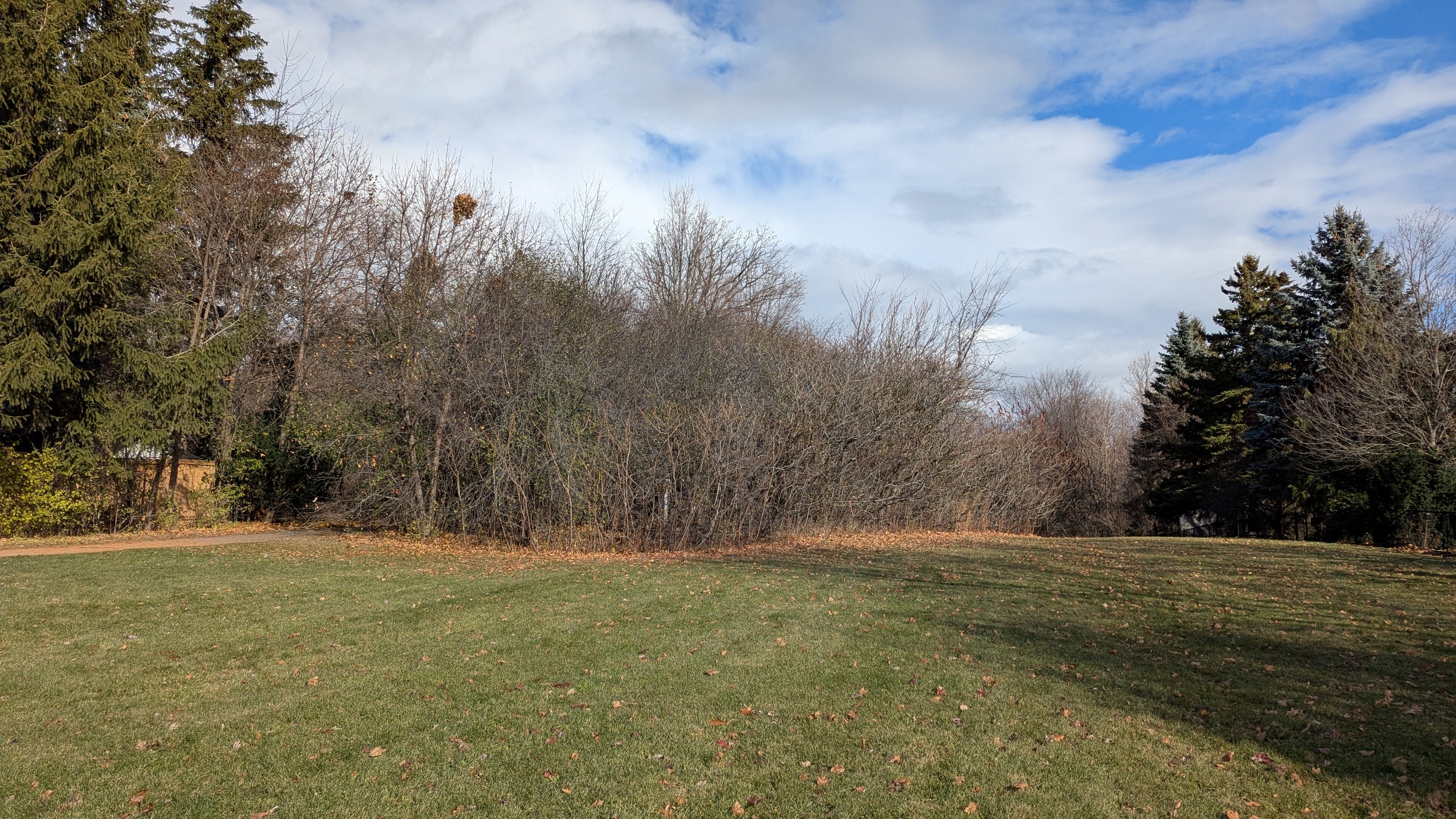
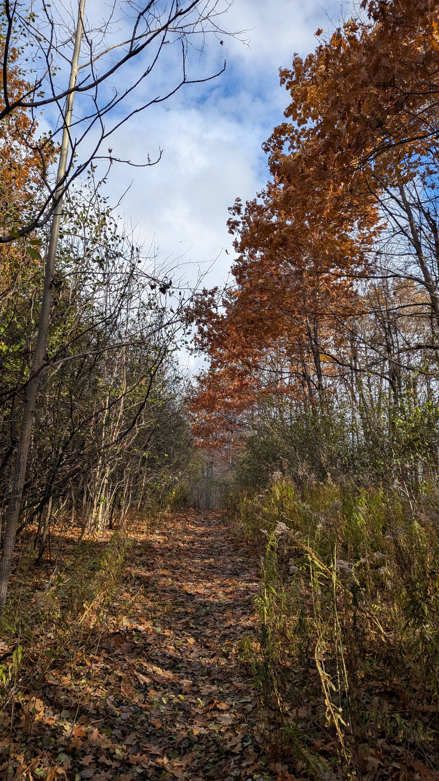
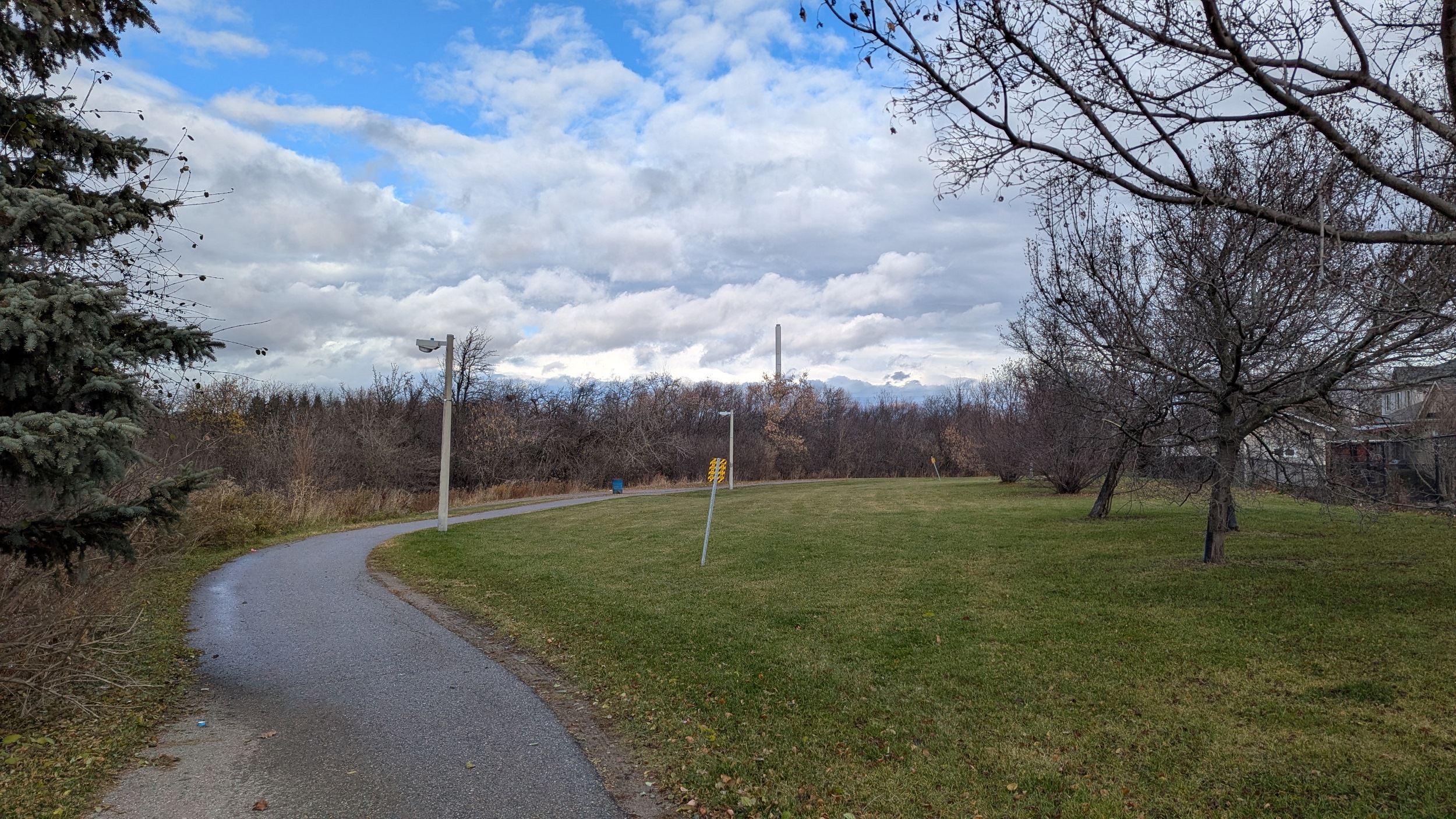
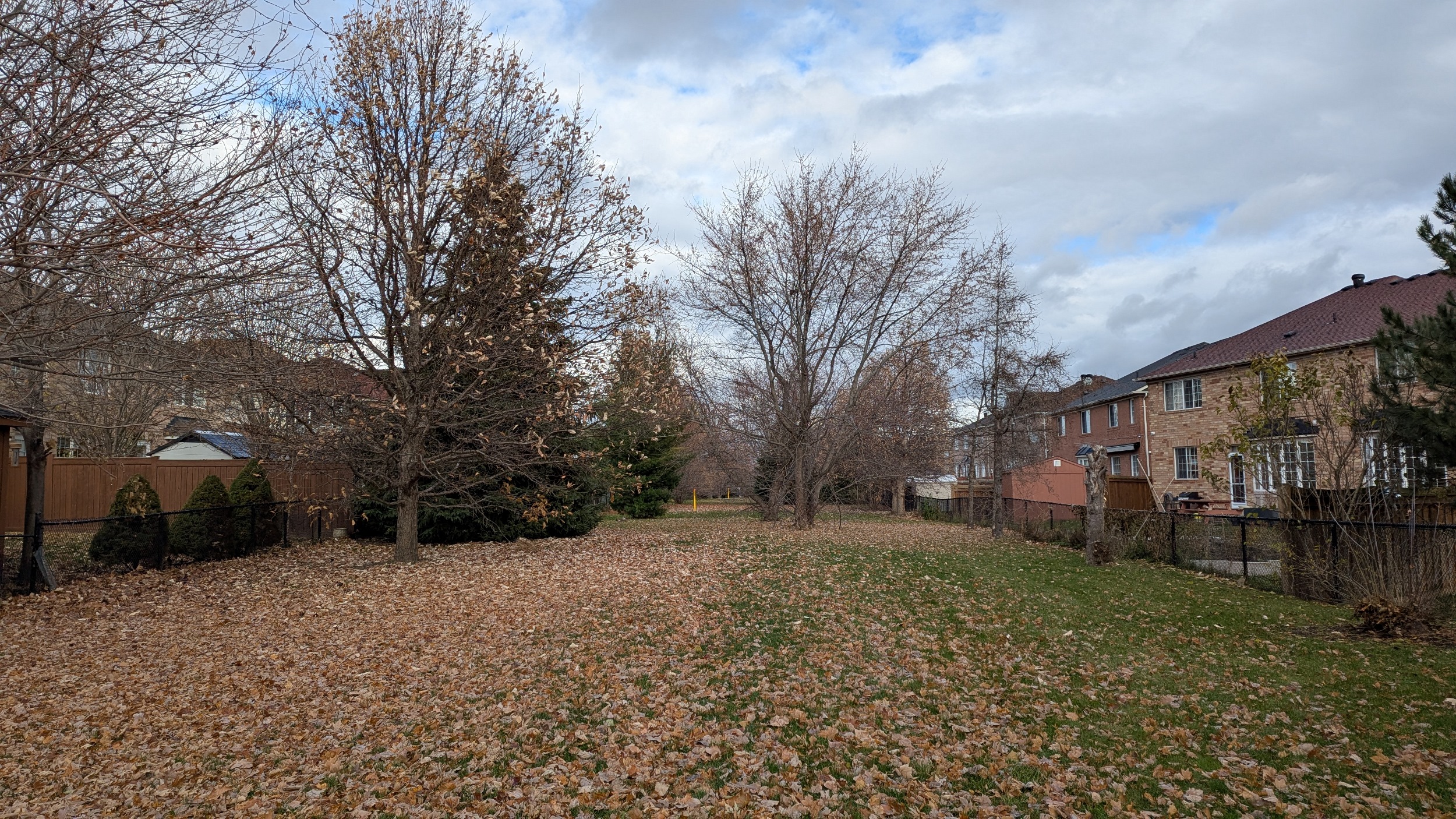
The protected pipeline corridor resumes east of Hurontario. It starts out as just grass, and then a formal trail links two parks and playgrounds through a ravine. I was planning to detour or hop a fence west of Kennedy Road, but was treated to a skinny open link. More grass follows that, leading you to forest and the beginning of some esker geography.


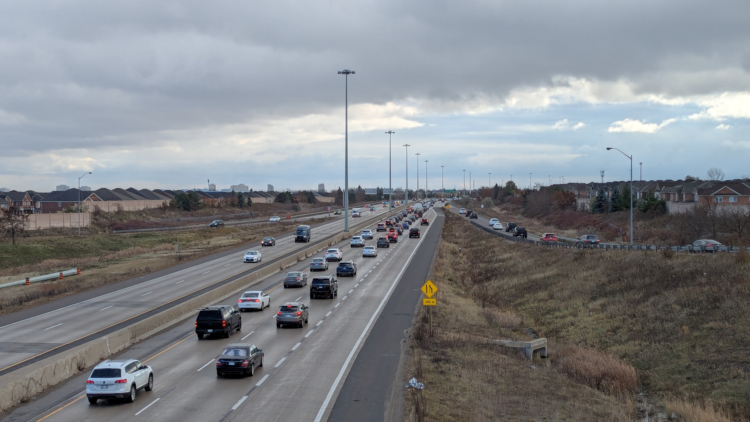
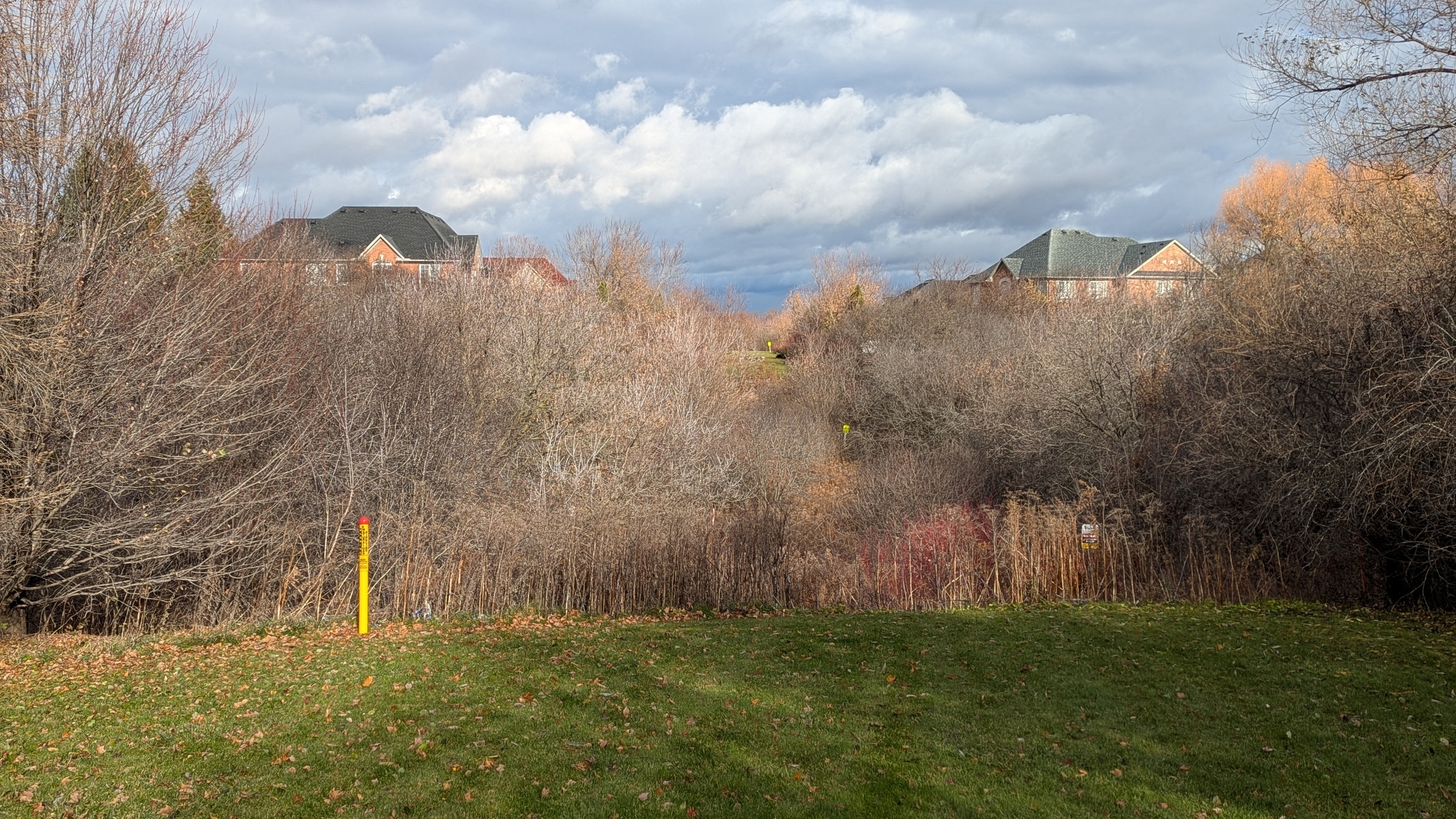
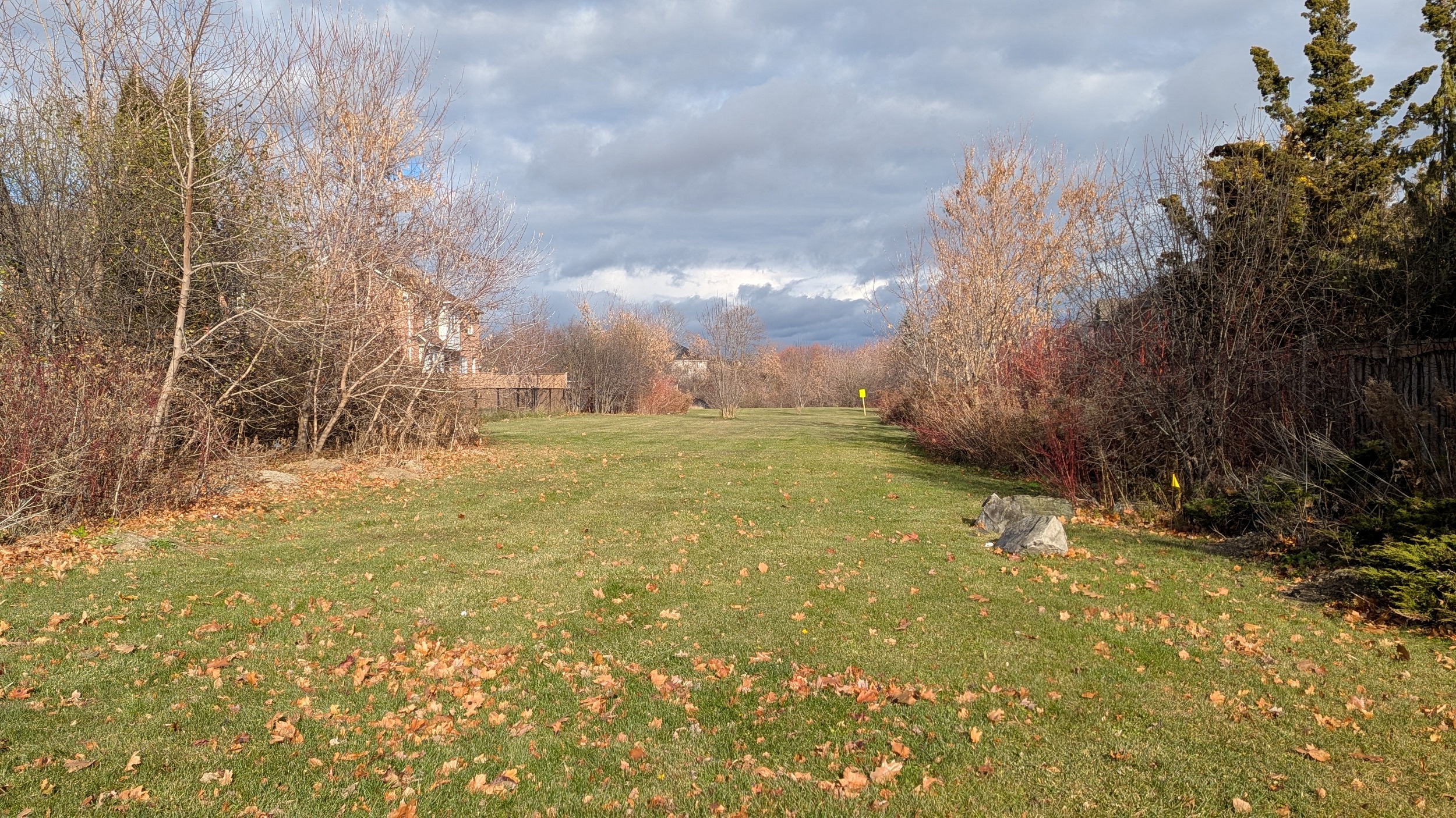
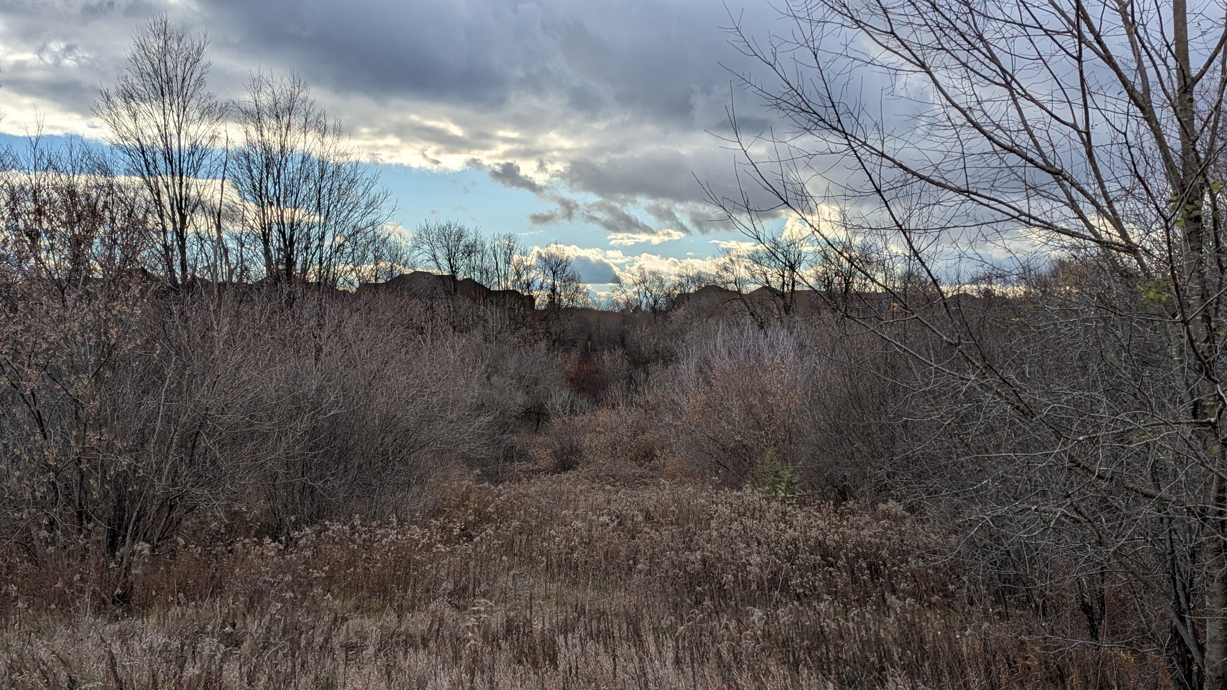
I was a bit unsure, the foot trail is obscured in leaves, but TransCanada and Enbridge markers assured me I was on the right path. Winding some more takes you through a disc golf course and over a tall skinny esker. Past a school and around a storm pond, there’s a small link along the corridor until you hit the noise walls at Highway 410. This kicks off another major detour.


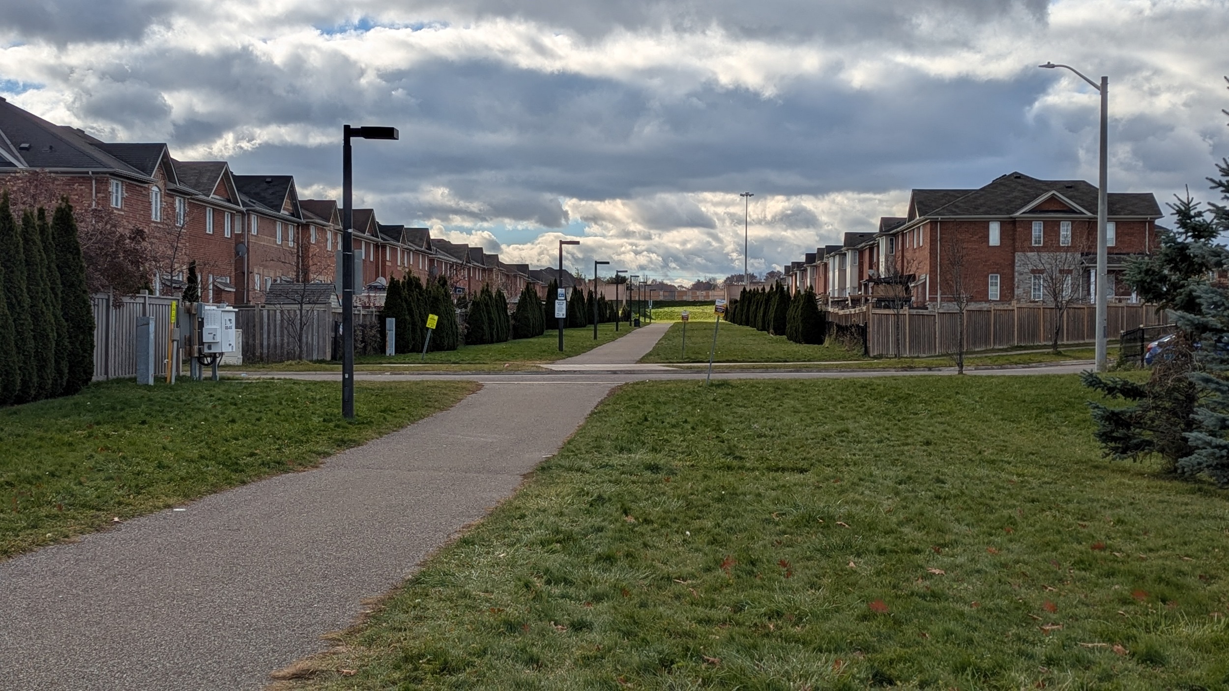
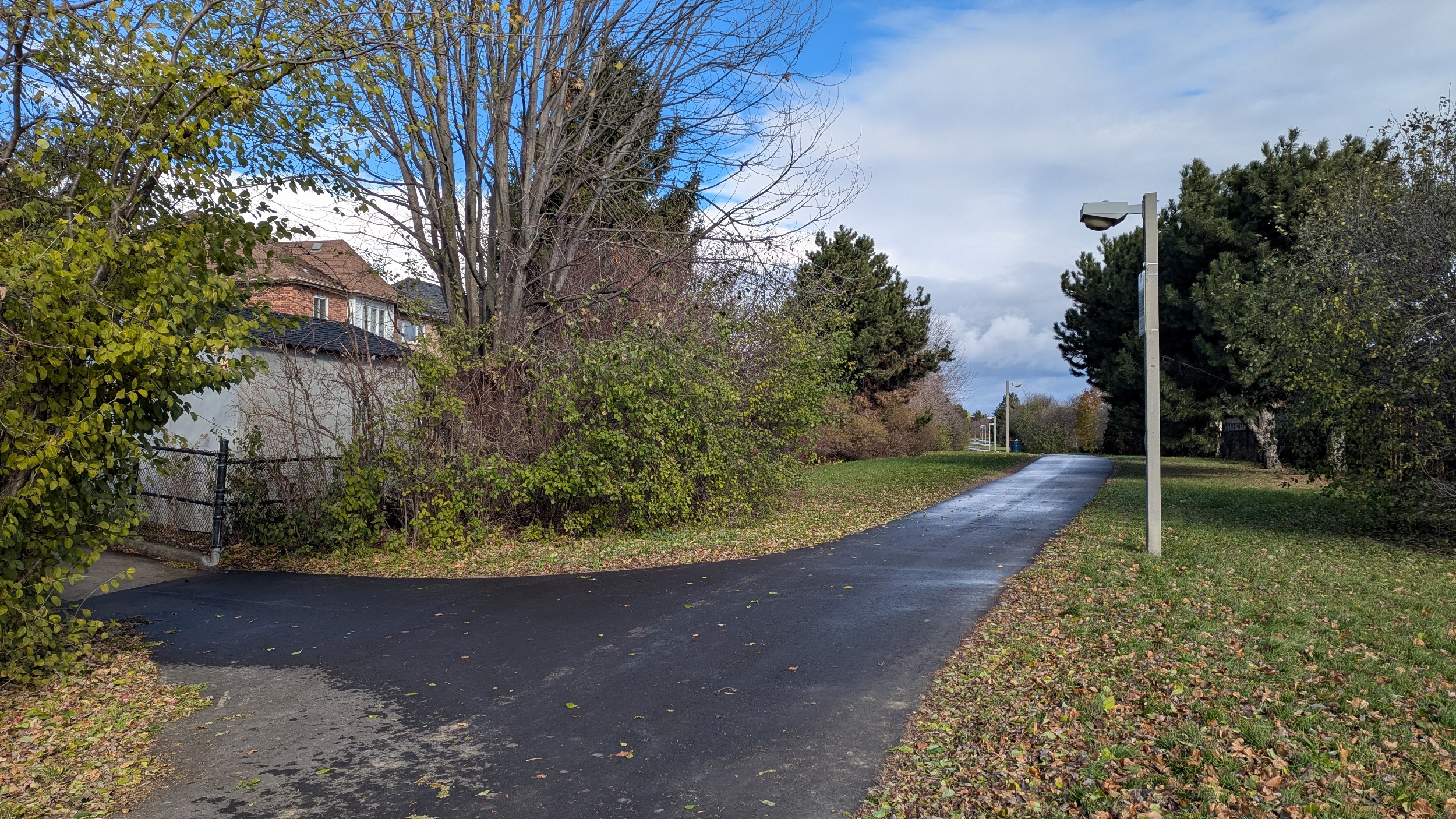
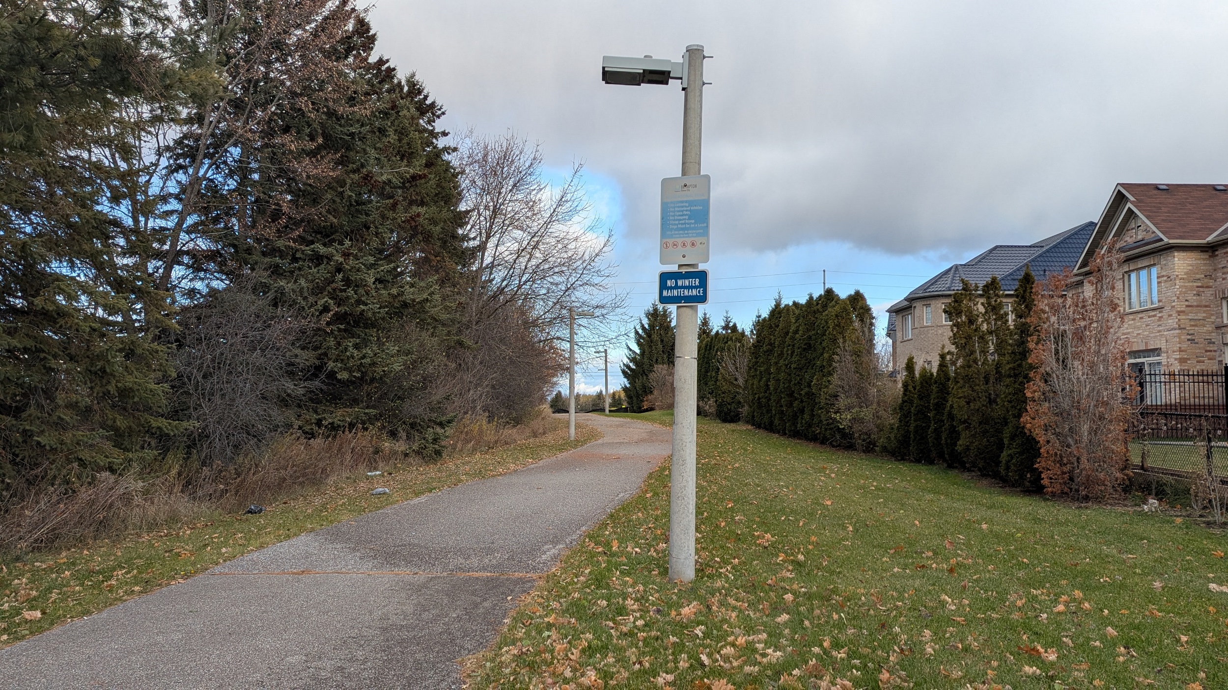
Back on corridor at Great Lakes Drive. The trail does extend west to the other noise wall, but I continue eastwards. Formal trails between houses and through recreational lands again, with a slight deviation to get over a creek.

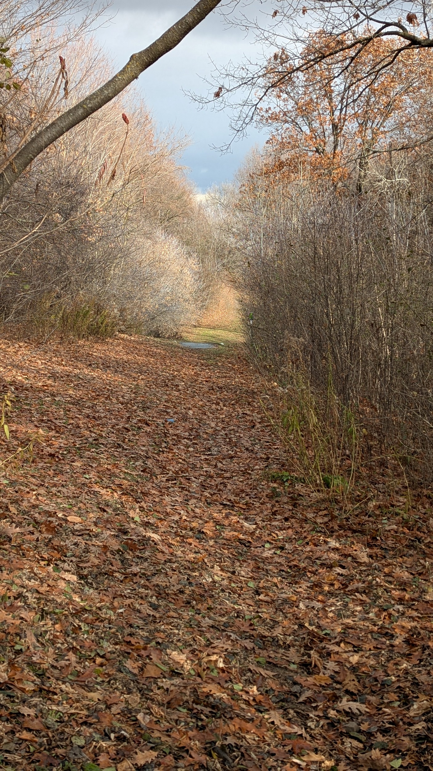
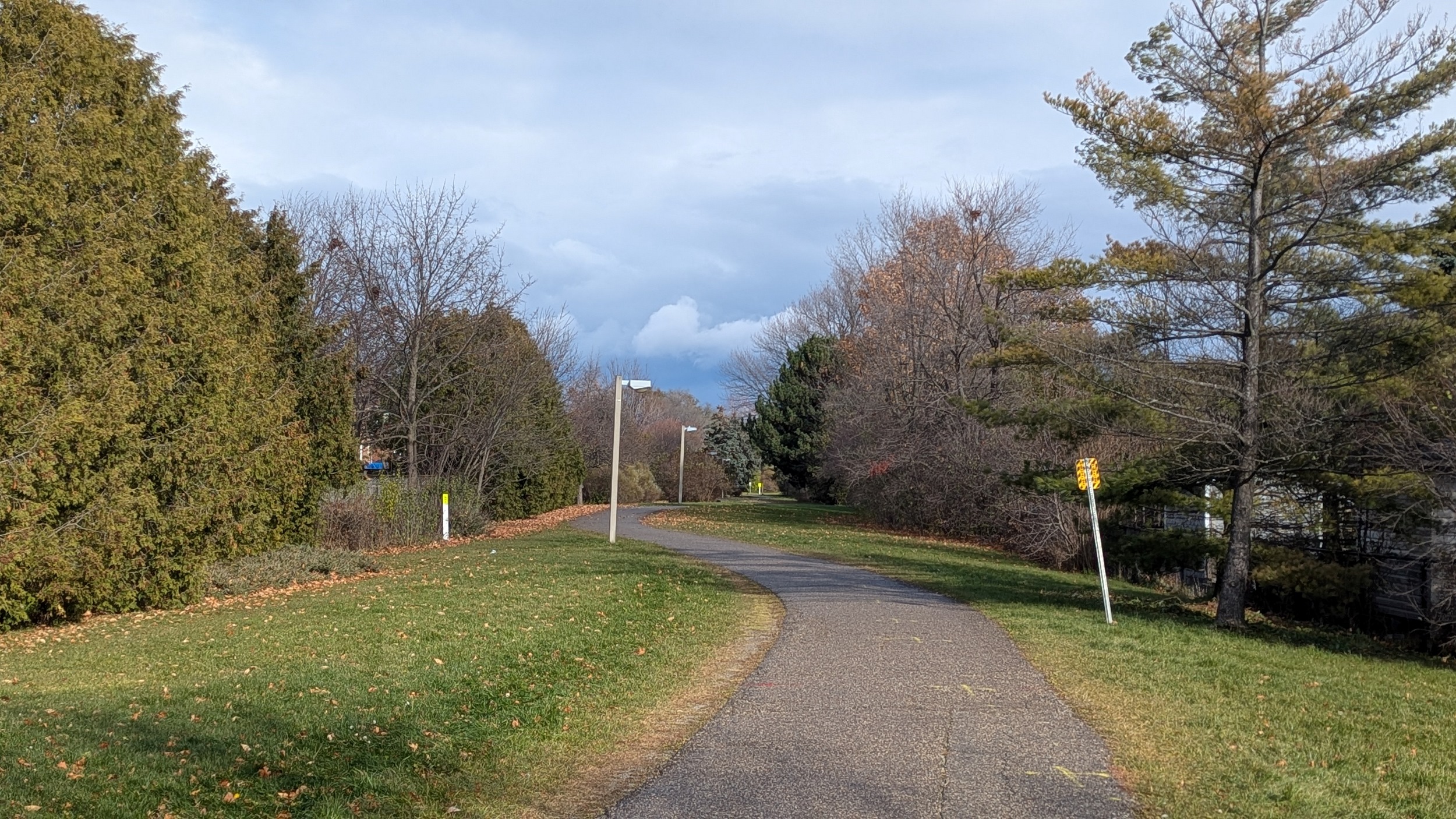
We’re into a fairly straight stretch now, east of Dixie Road. Dated light poles line a fresh blacktop, dampened by today’s drizzle.
Between more houses, with some streets in parallel. Then it’s down through a ravine, with a slight kink in the trail to get over a tributary of the West Humber River.


I got a bit lost and missed a turn, but got back on track. On through across Sandalwood to cross another West Humber tributary.


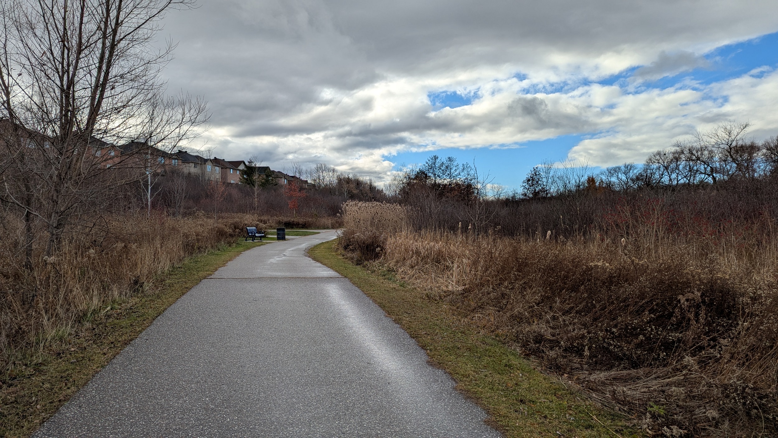

An unclear connection exists south of Sparta Drive, and then the corridor is broken up by two more West Humber tributaries. No formal trail exists over these wetlands, so it’s a detour via Braydon Boulevard.
The corridor is unconnected east of Pali Drive due to the West Humber River proper. It’s a long detour via a formal trail through the valley 800 metres to the north. Then there’s a short trail stub from Bloomsbury before the corridor is lost to estate lots east of Goreway. That ends today’s walk.


Date: November 23, 2025
Length: 26.2 km
Type: Utility


