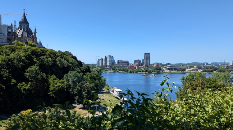
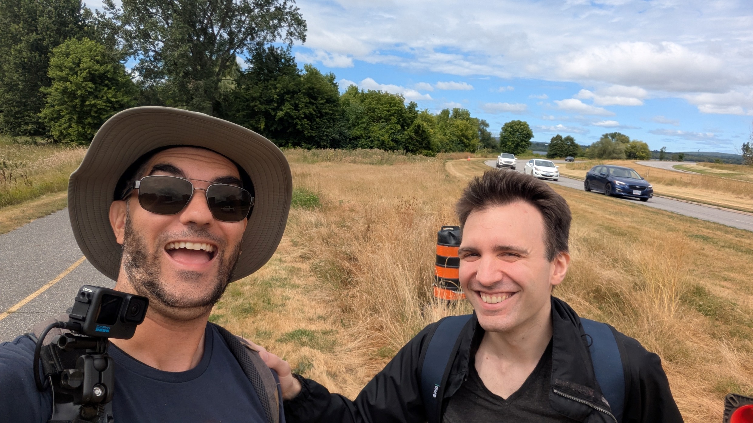
Good morning from Lincoln Fields Station in Ottawa. I’m being joined by my friend Kurt Refling to trace another reach of the Ottawa River. We’ll head north and east from the Transitway Station towards LeBreton Flats. Let’s go.
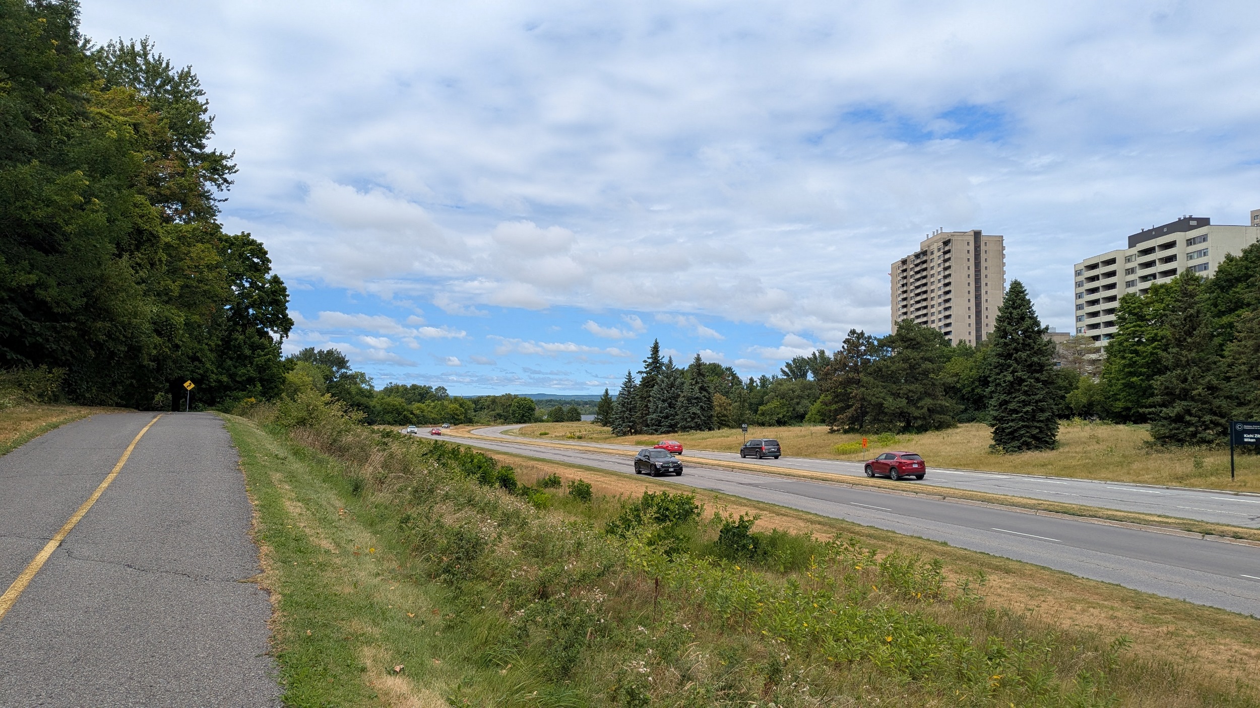

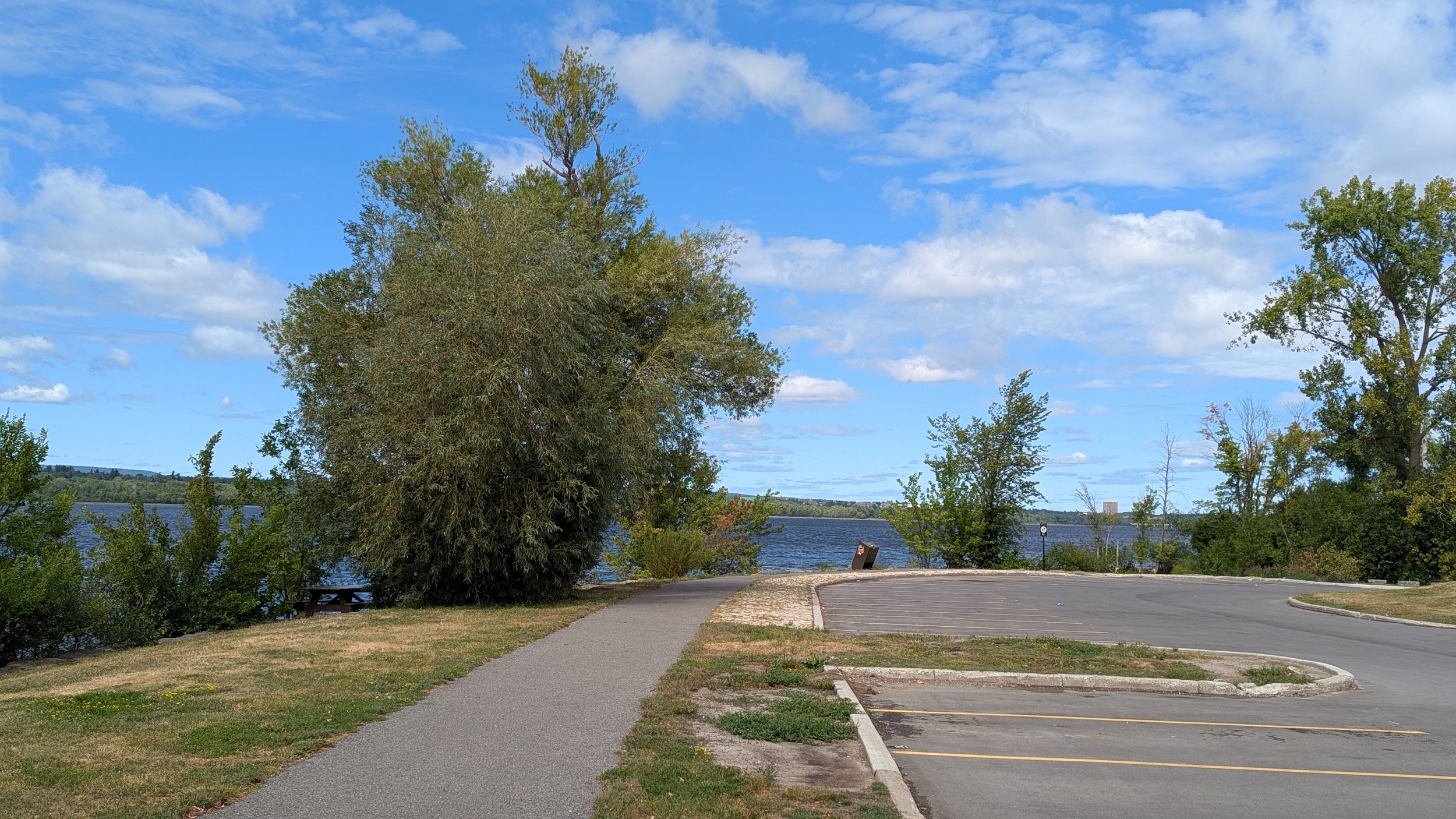
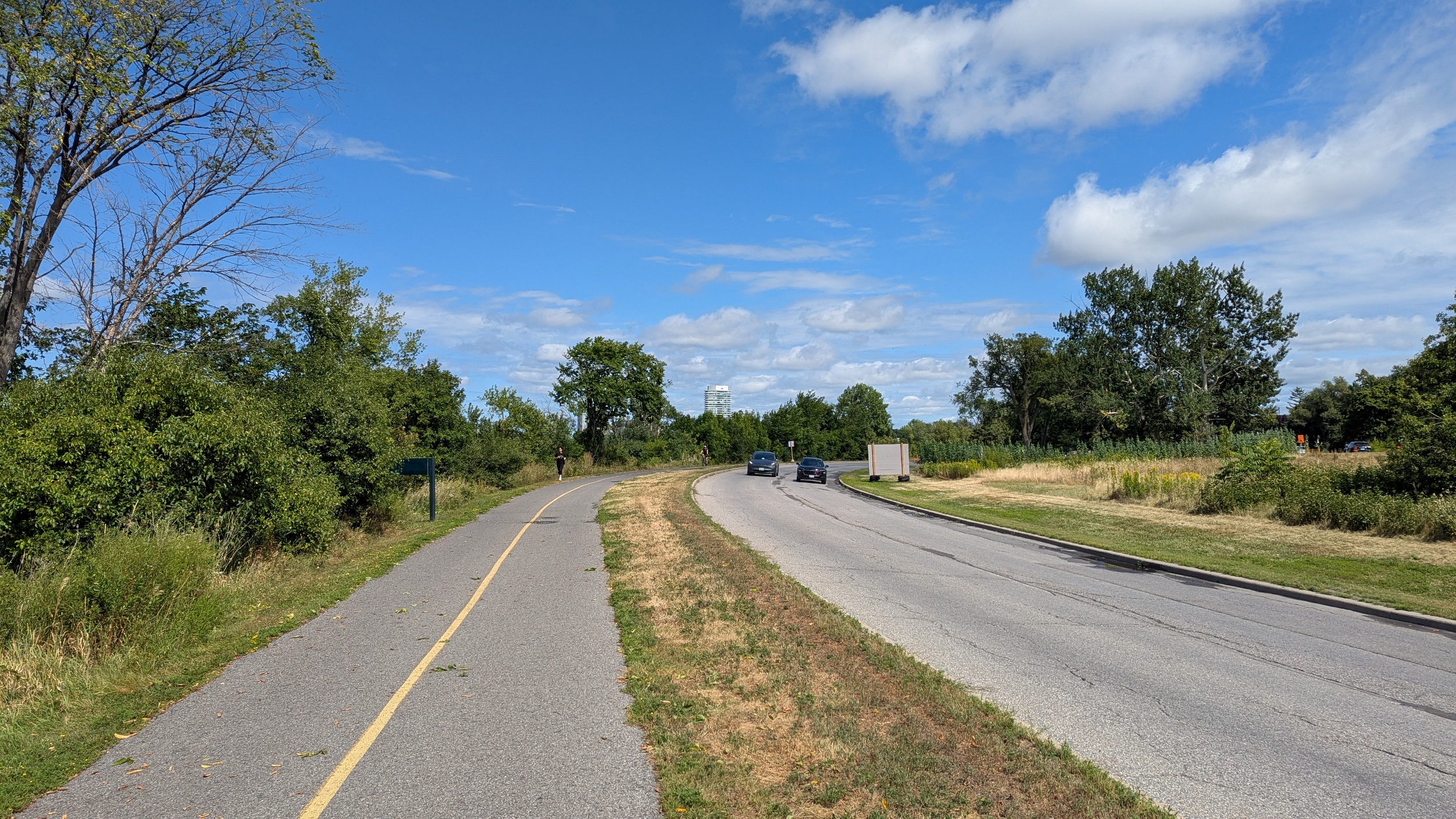
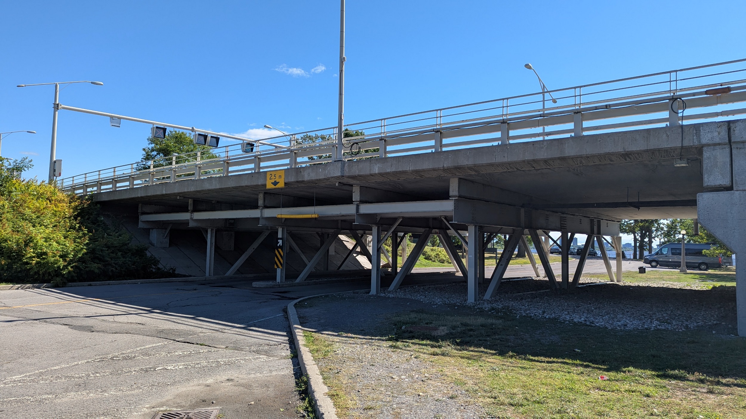
Adjacent to what is now Kichi Zībī, a parkway style road. There are grade-separated underpasses as well as a Parkway style rest stop.


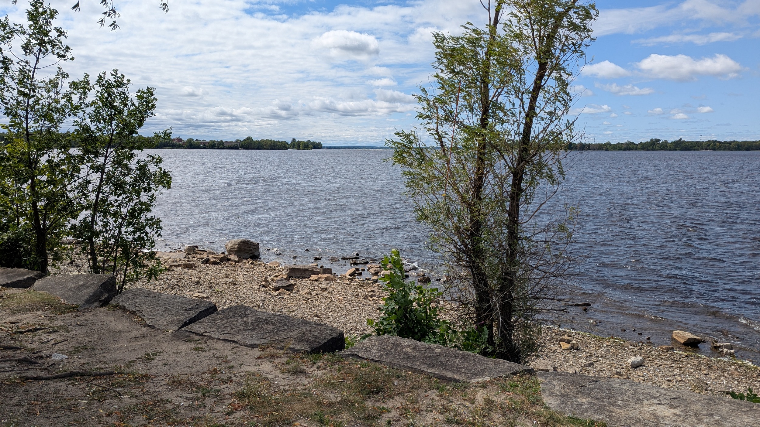
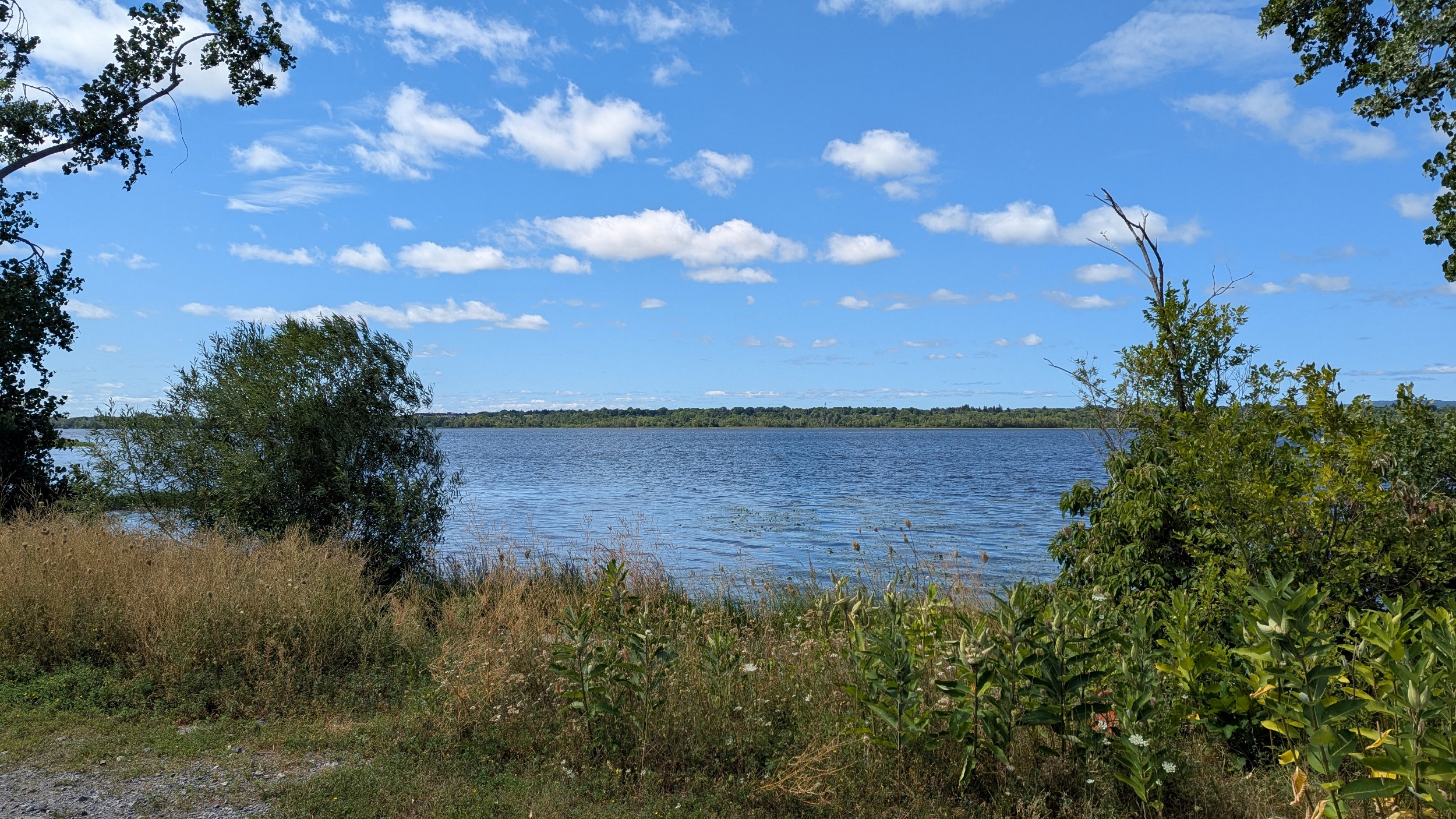
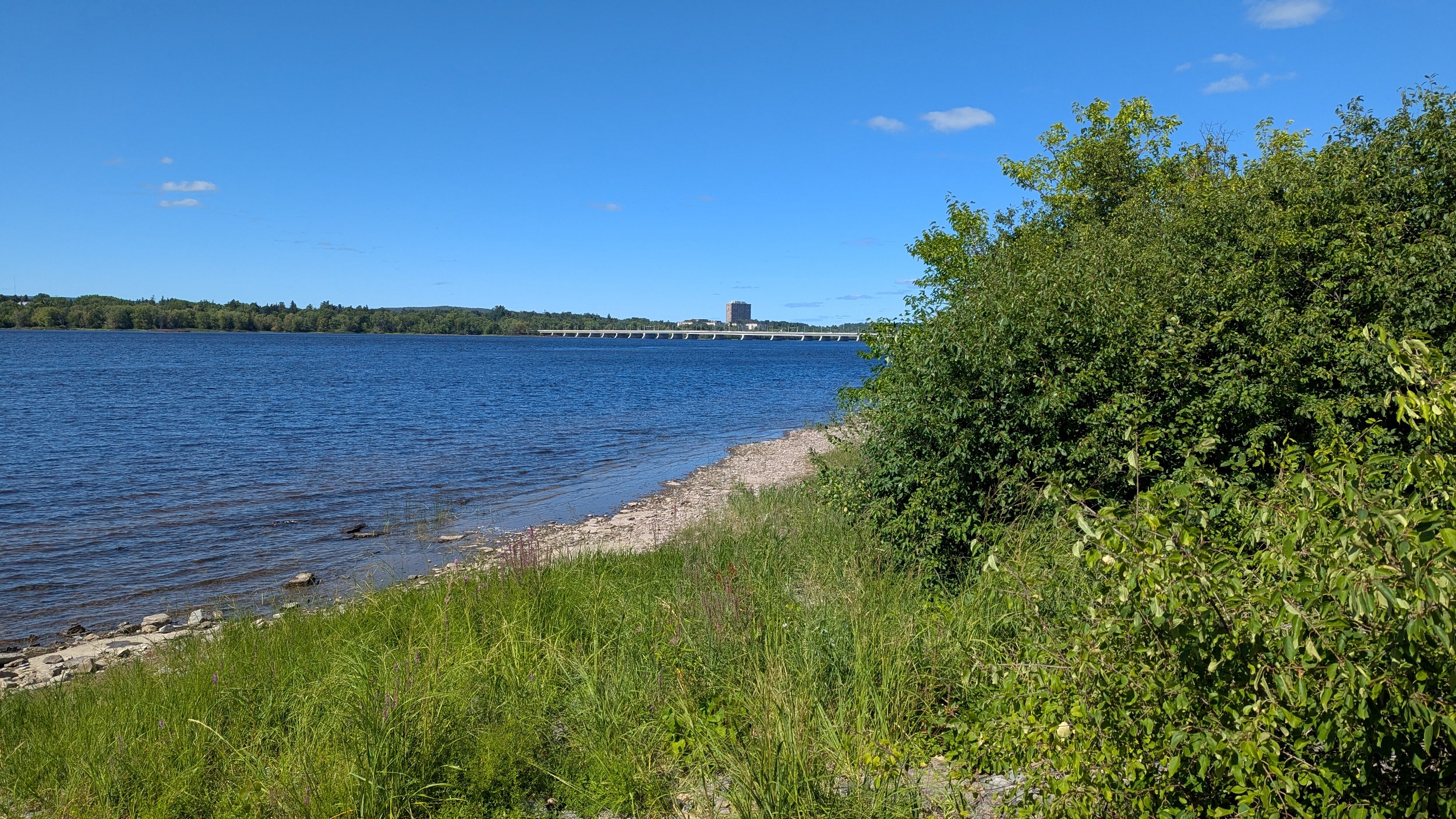
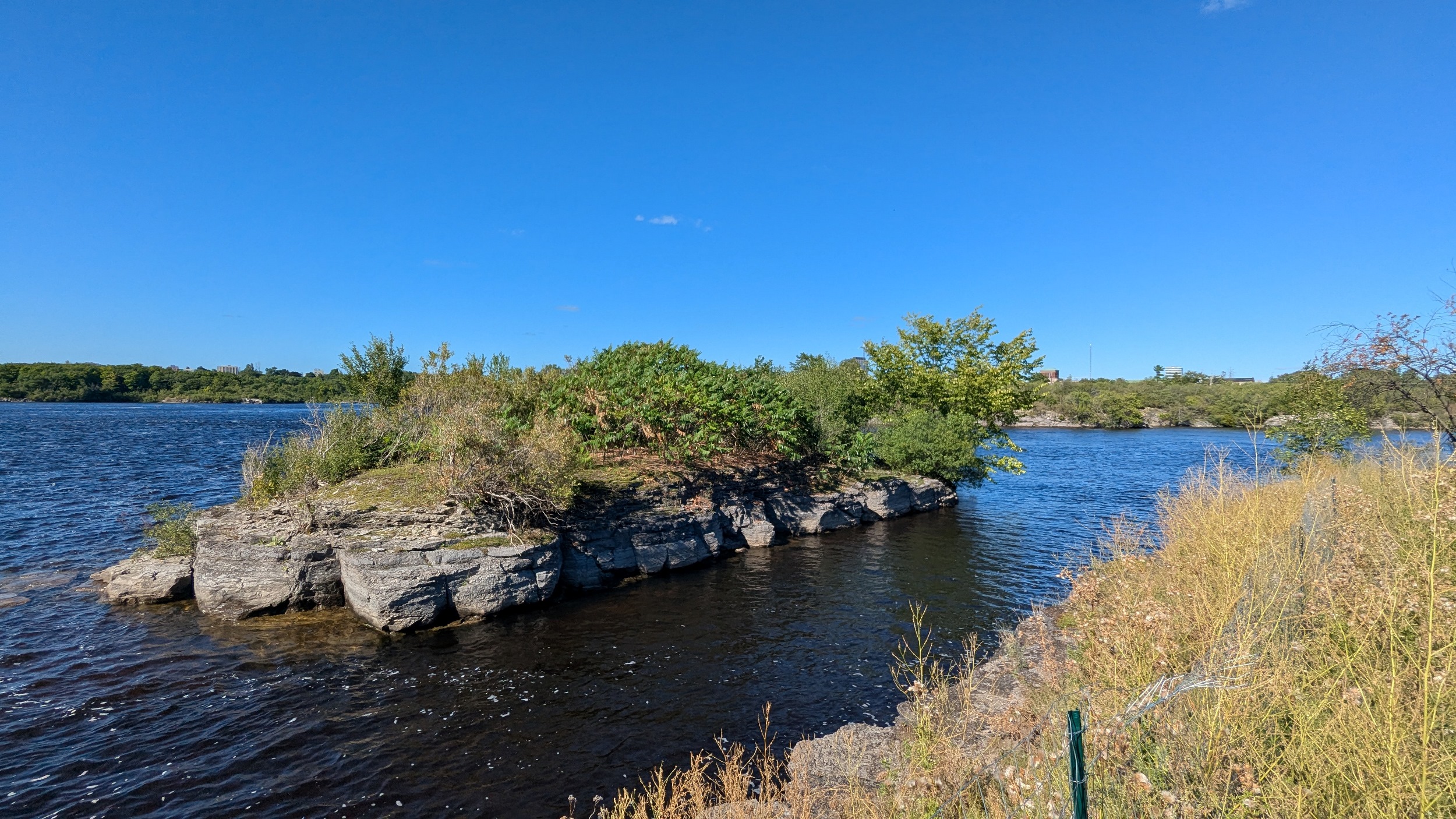
A little past the Deschênes Rapids Lookout, an informal rock beach makes for some really interesting geologic formations. A couple segments offer a pedestrian only refuge from the large amount of bikes, but they’re short-lived.


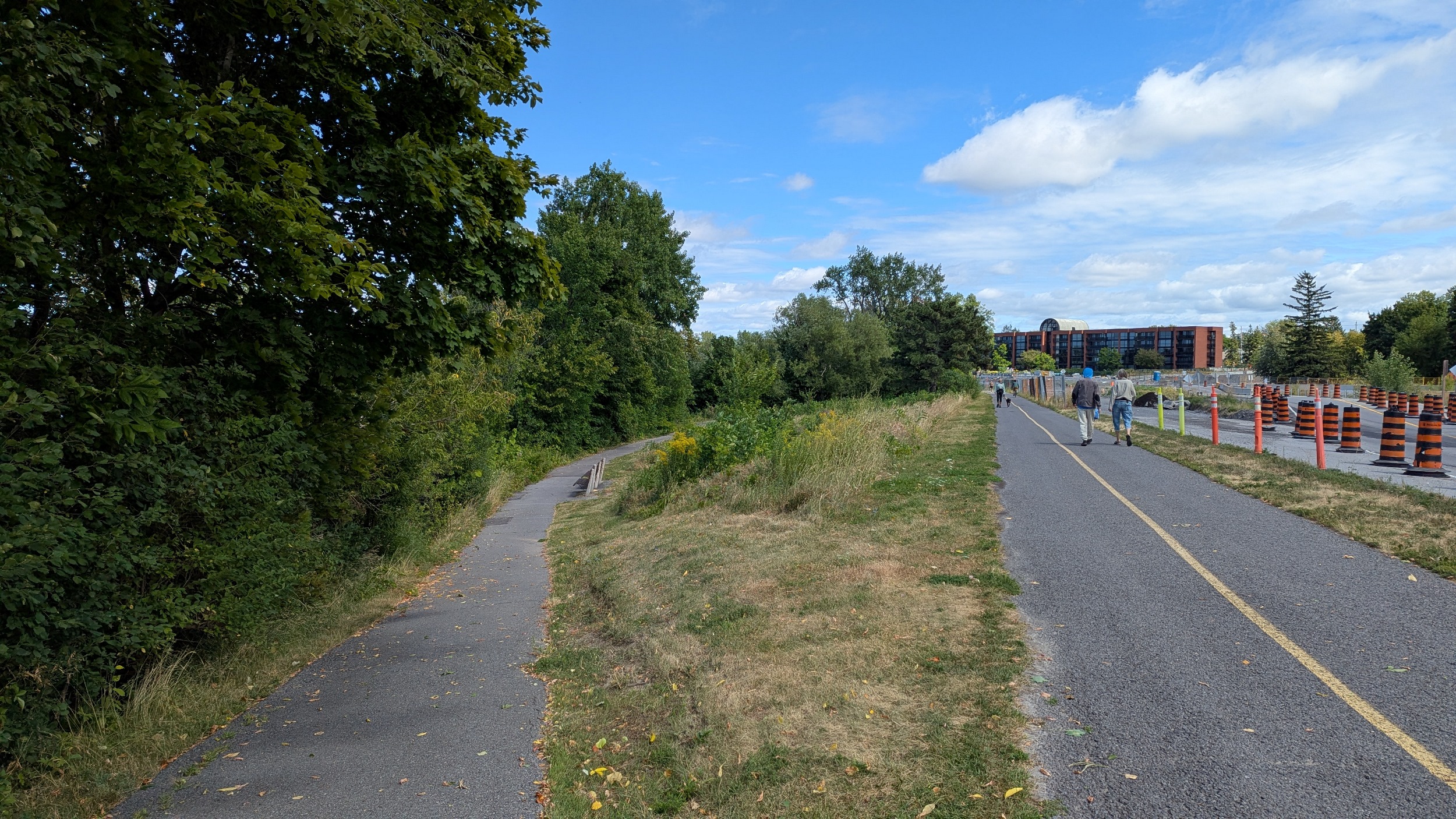


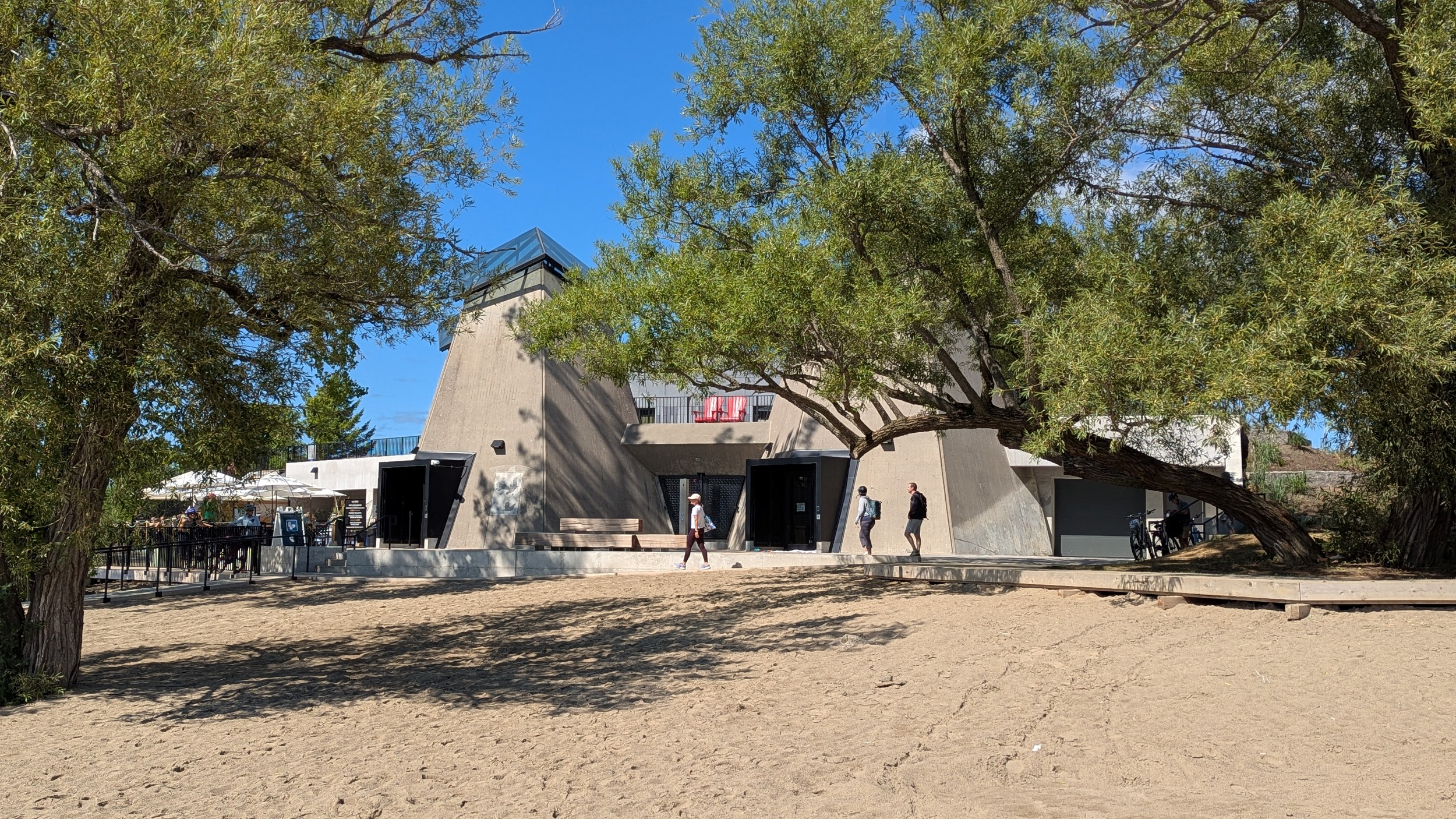
There’s all sorts of construction along Kicki Zībī Mīkan, unclear if / how much is transit-related, but some is at least to replace culverts. Next major point is Westboro Beach, which has a full washroom and food/drink. Great renovated Brutalist structure.


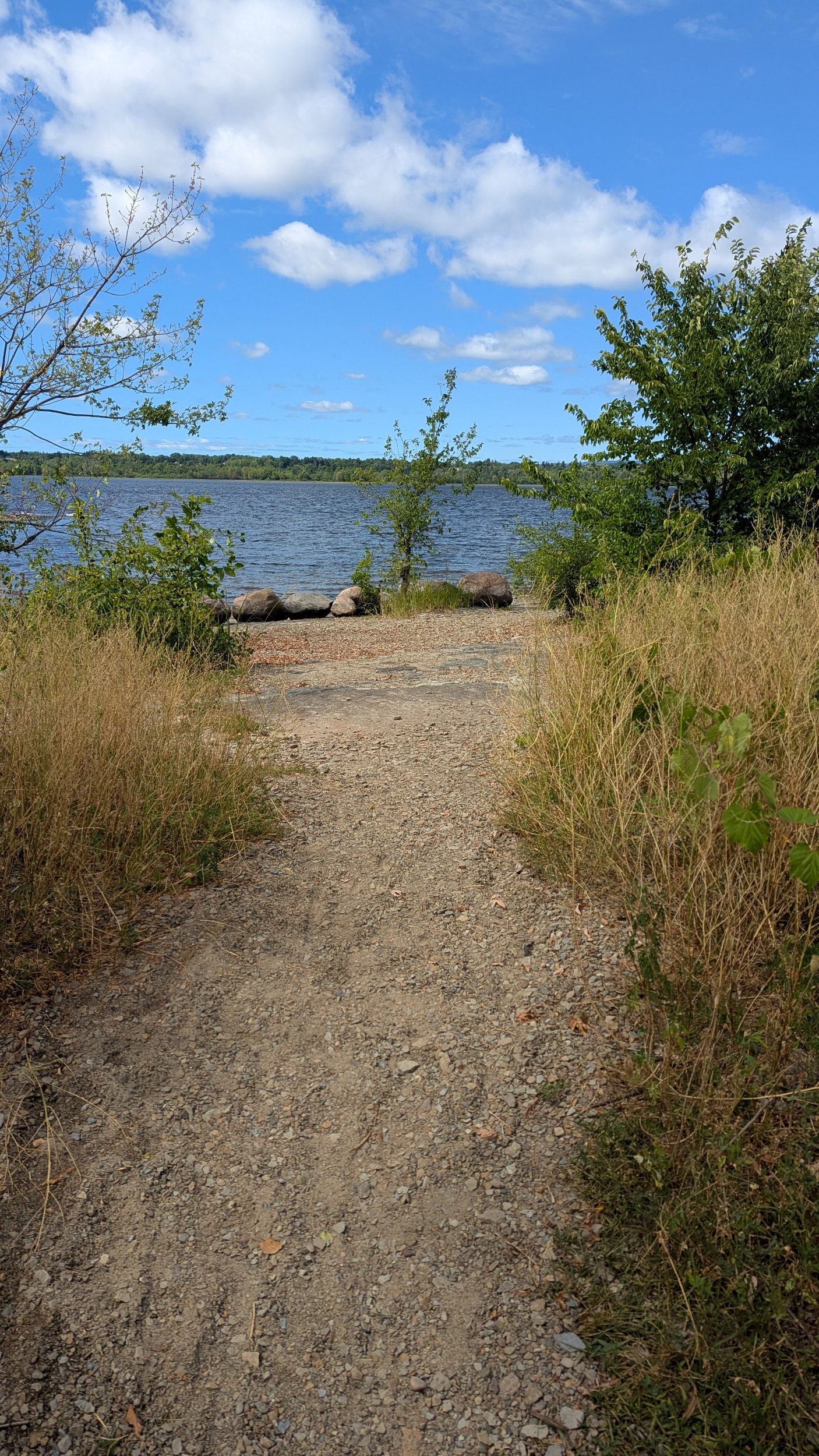
I hit send way too soon. Kurt told me about how the public parkland on the north side of the structure used to be a parking lot, and now it’s gorgeous. That leads you to a new or at least rehabilitated path to another rock outcrop on the shore.


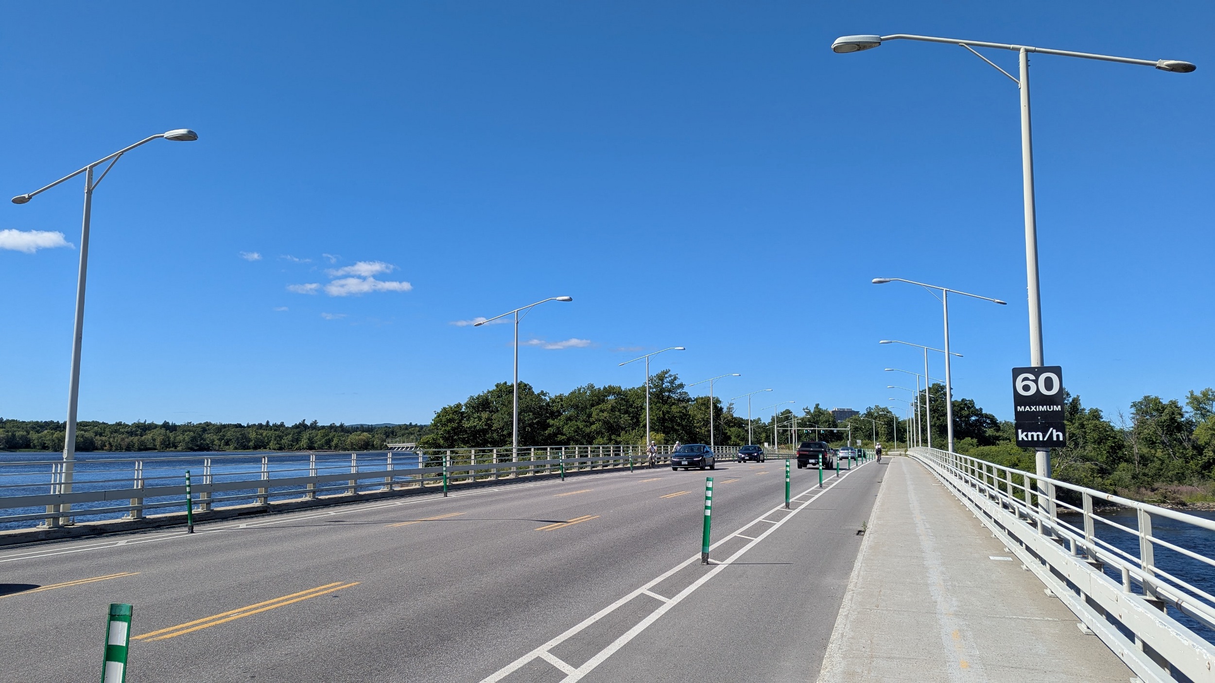
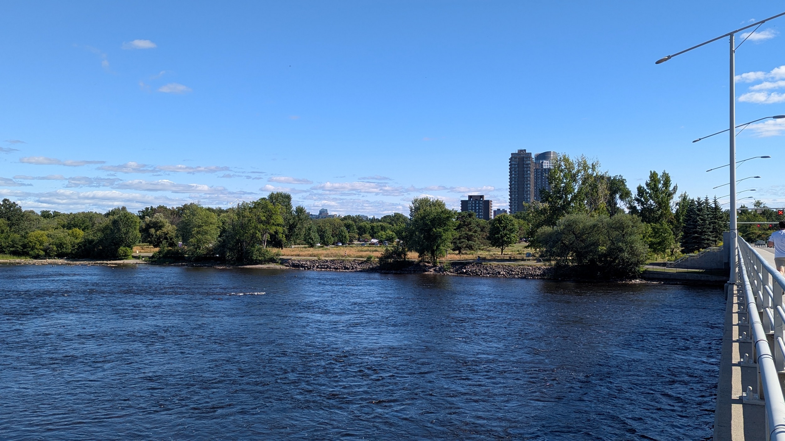
Island Park Drive takes us across three different islands, the furthest being Bate Island, and the other two being inaccessible. Drinks are on tap out here, and some rapids offer adventure for brave kayakers. Round the outside, and back to the mainland.


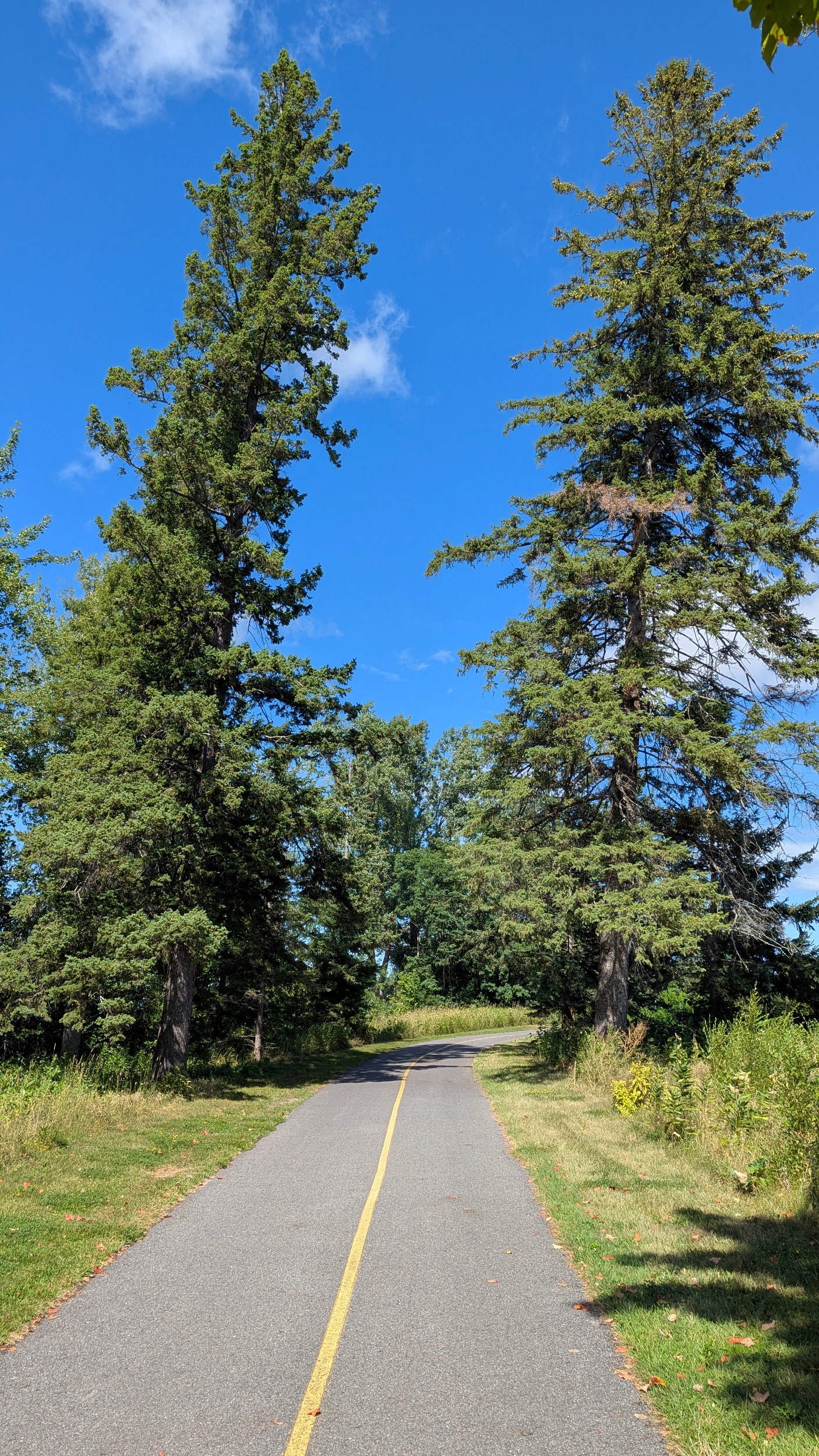
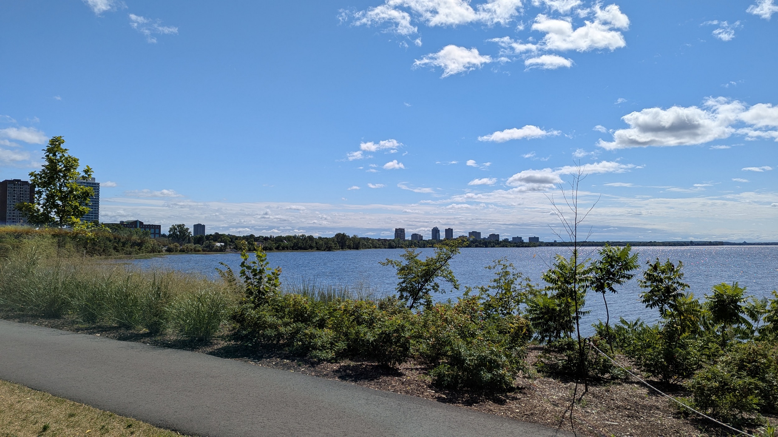
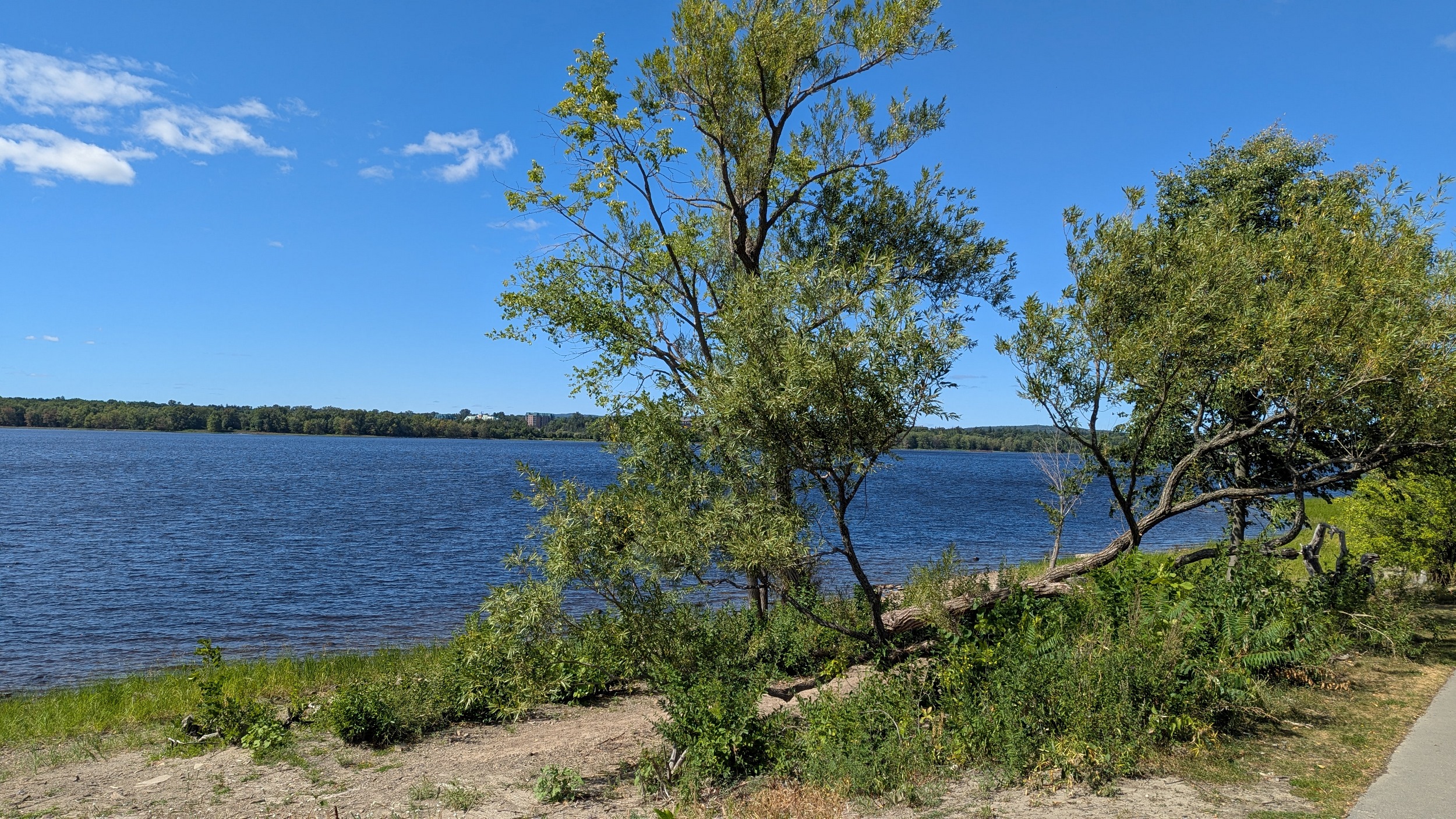
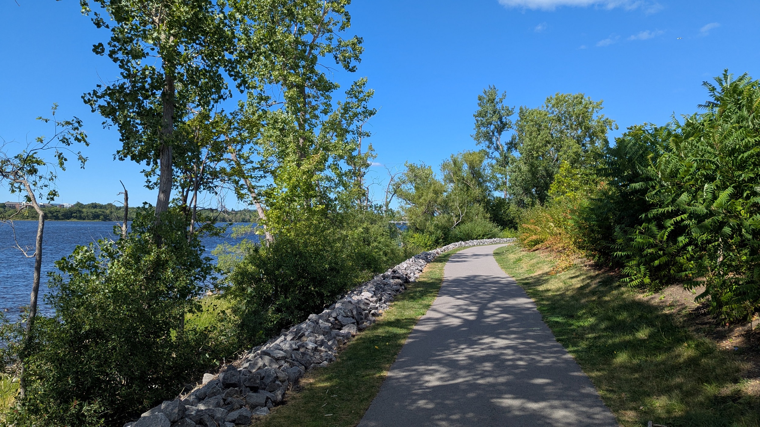
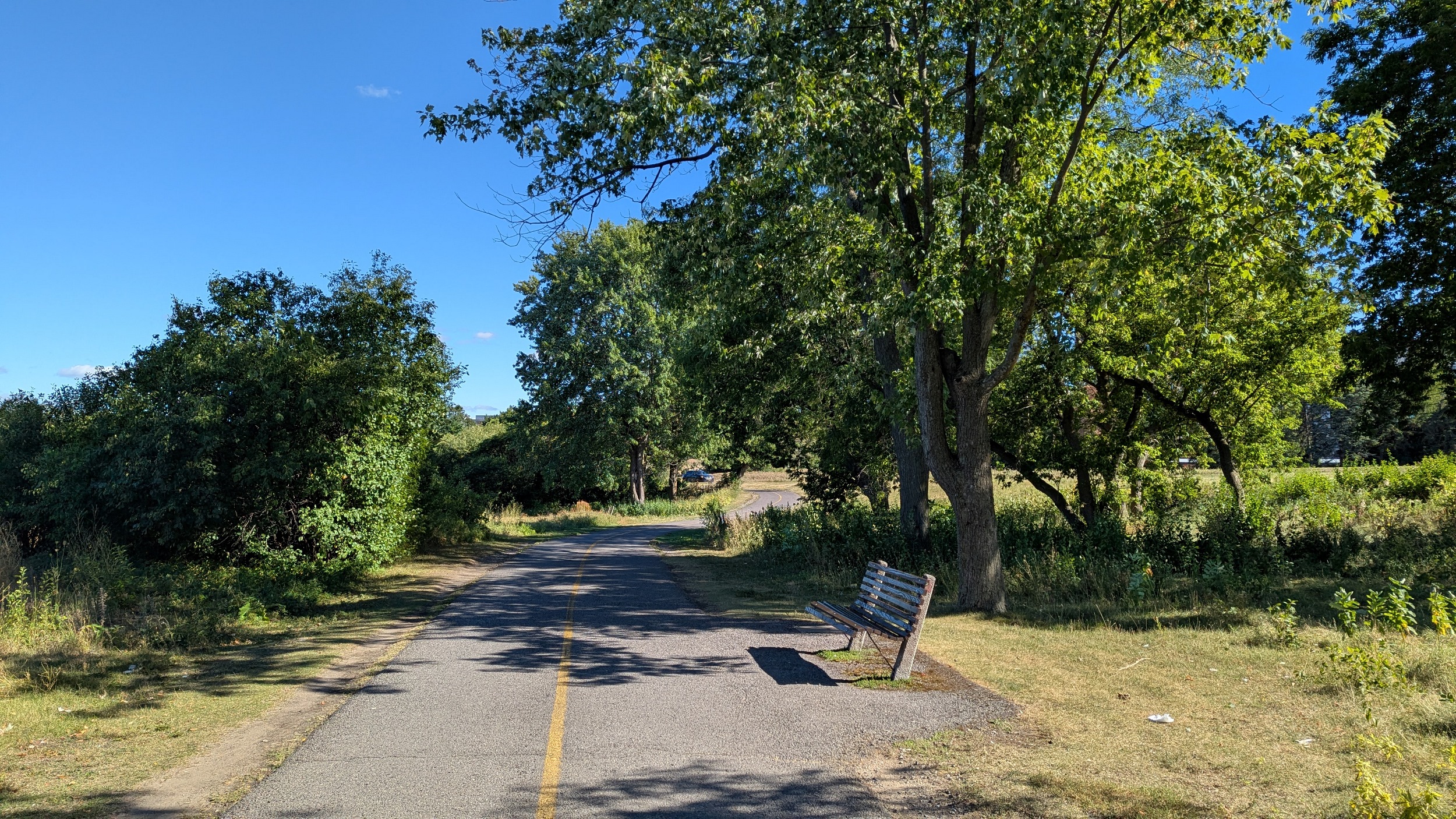
The trail continues meandering near the shore. Great willows and conifers line each side. Another NCC Bistro pops up adjacent to a parkway rest stop. We pass by John Felice as he works on his rock sculptures.


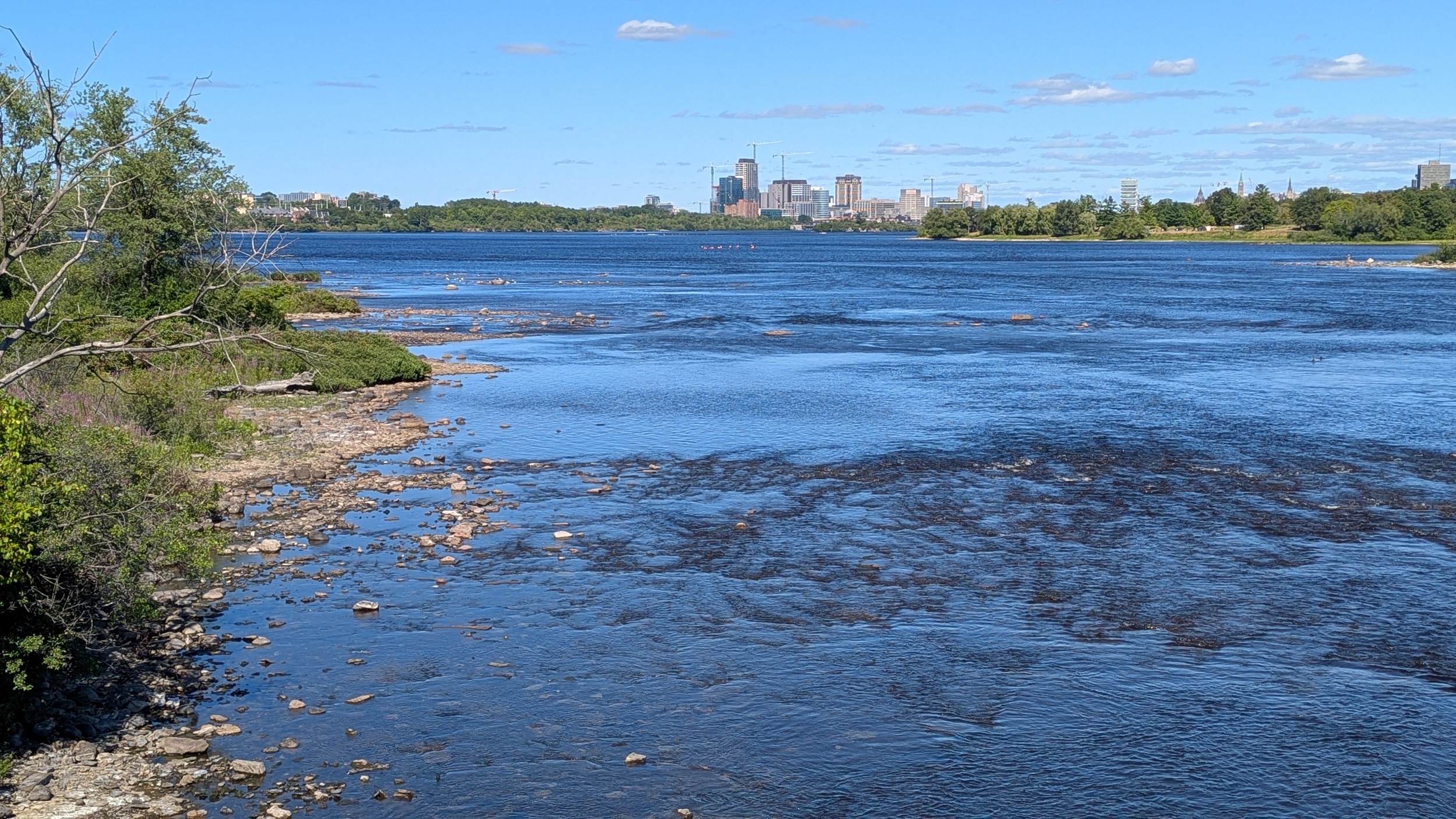
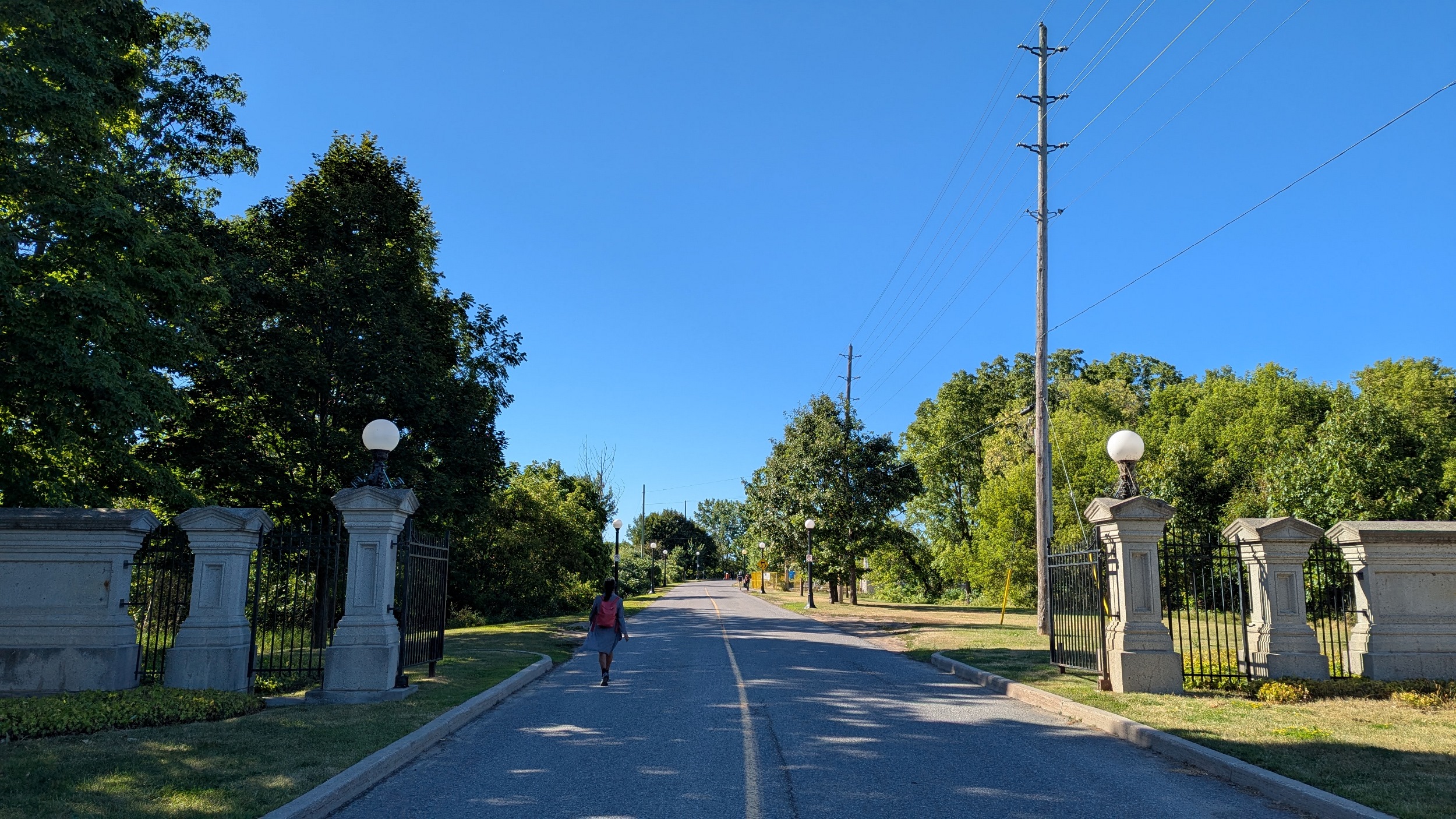
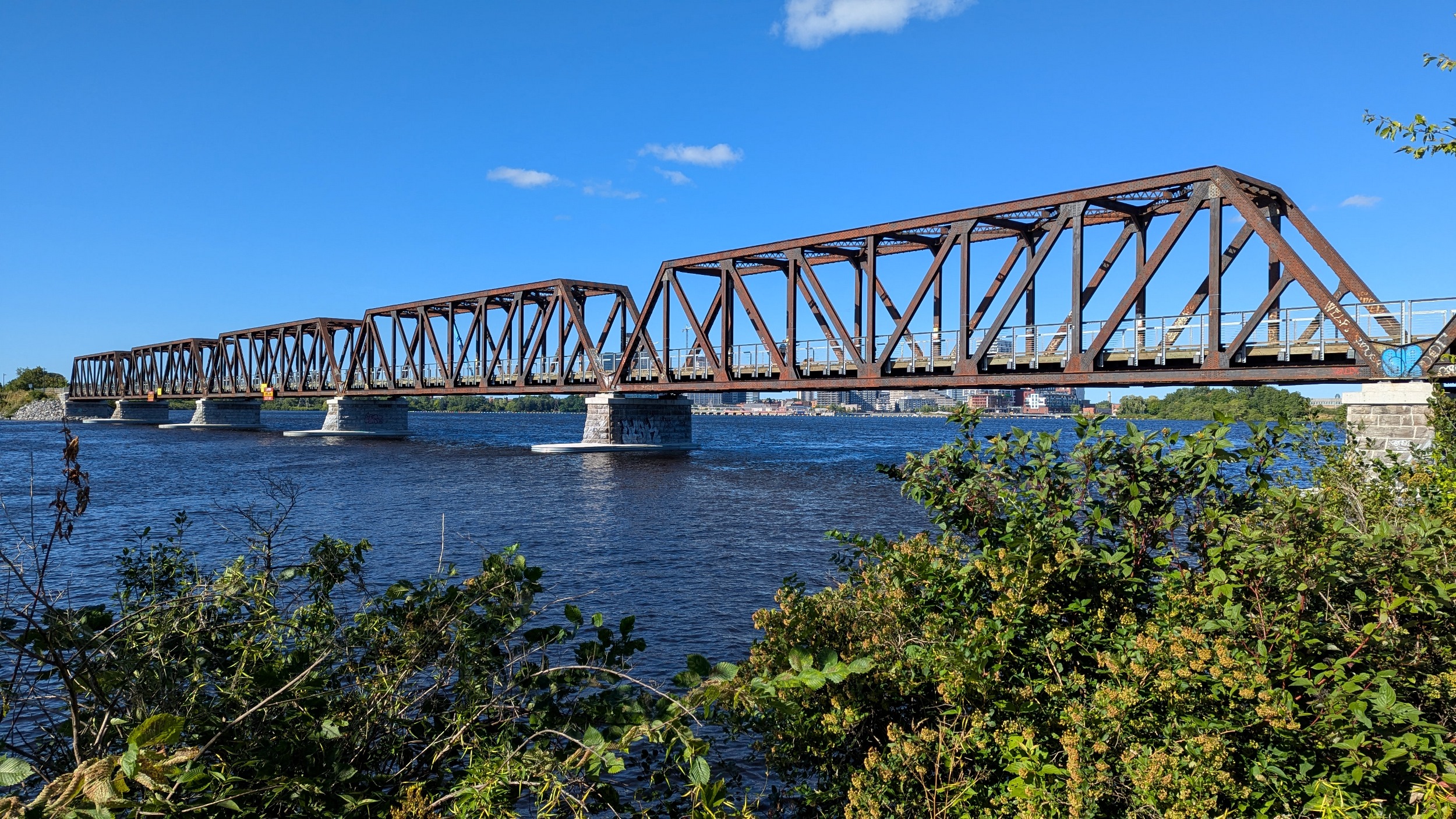
Some more dips and weaves with the shoreline and around some parkway ramps, until you come to Chief William Commands Bridge. This is where I had a previous walk before, and it’s where we end today’s journey. Thanks for joining (us)!


Date: August 17, 2025
Length: 11.0 km
Type: Riverine