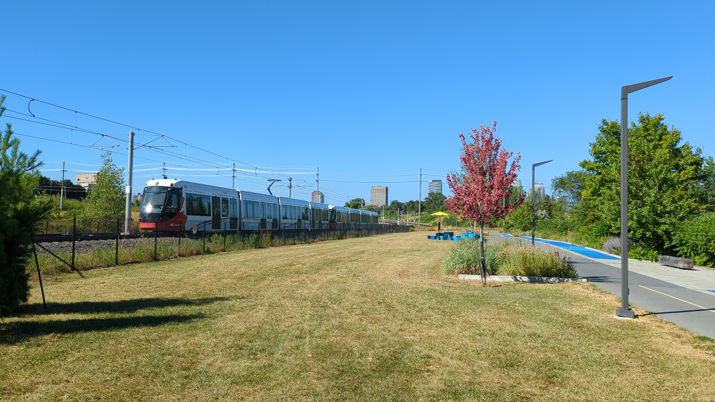
Good morning from east of LeBreton Flats. Today I will explore a bit of the Ottawa River near downtown, including its hydroelectric channels. Let’s go.
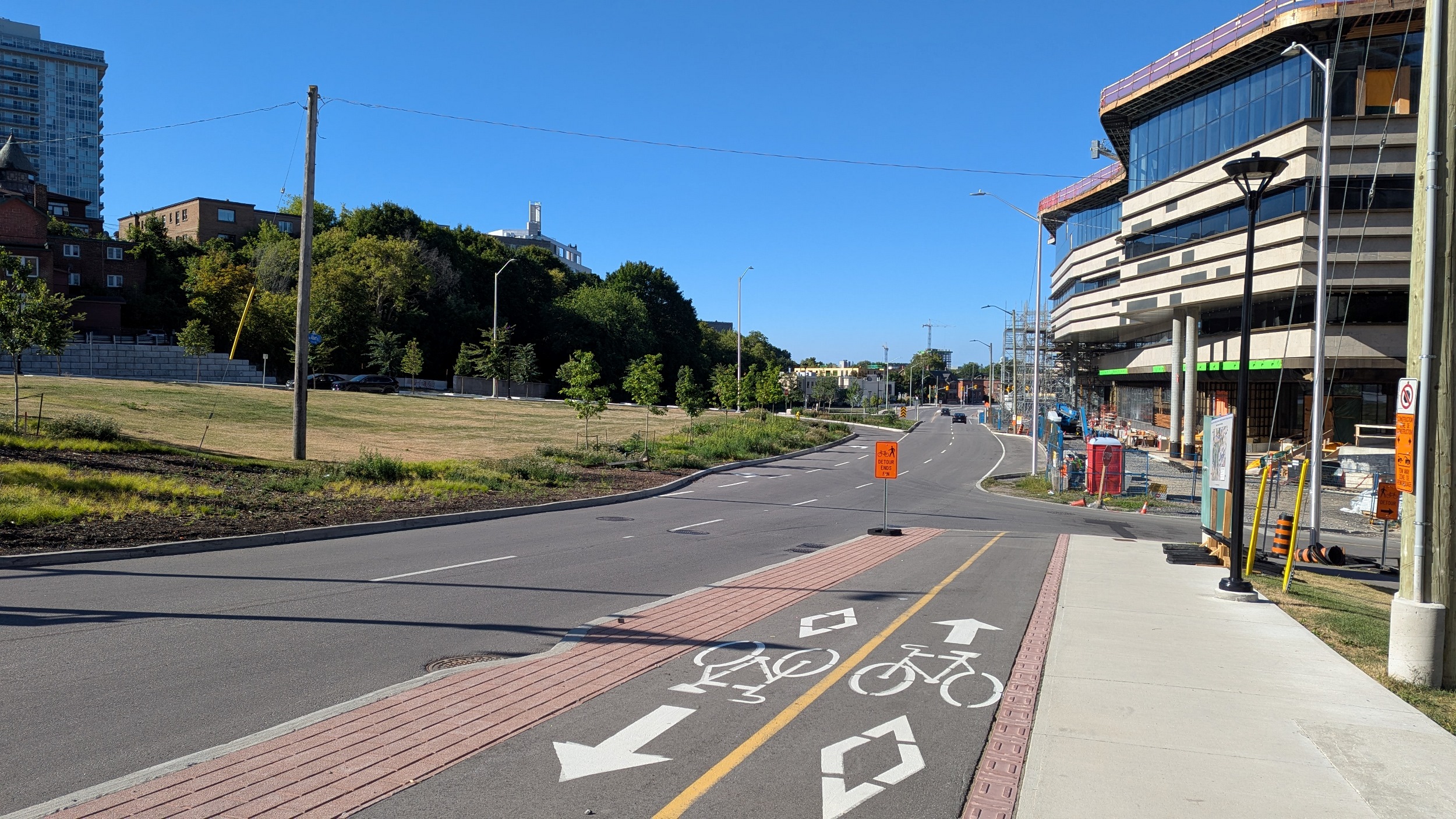
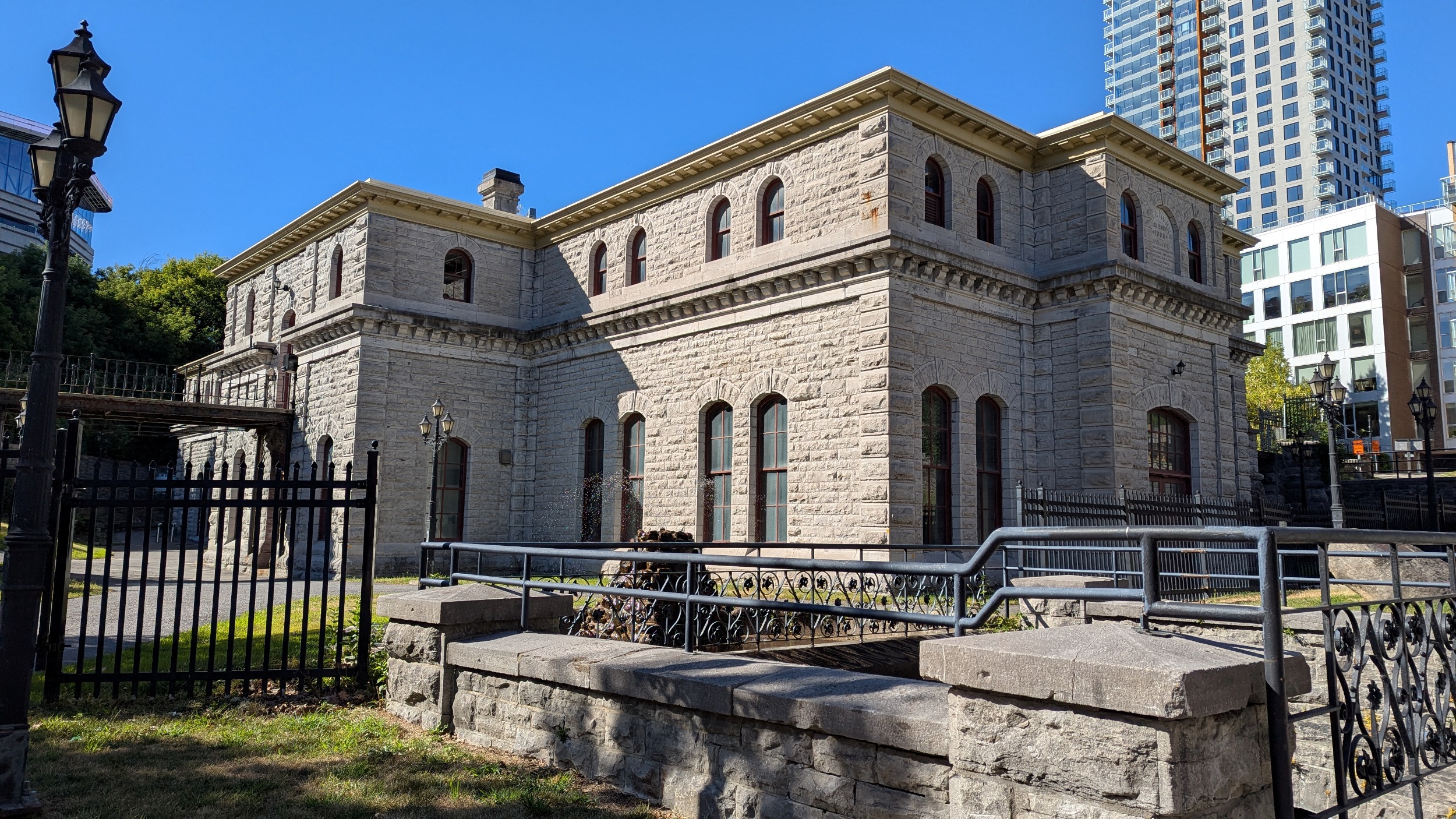
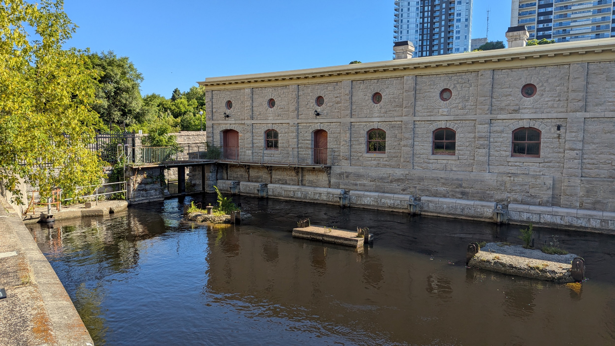
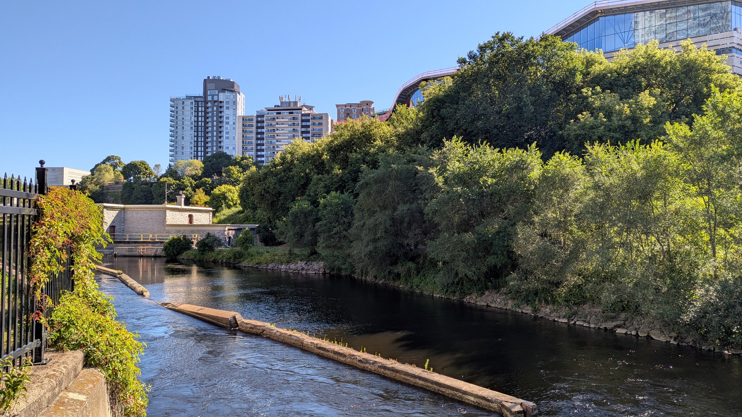
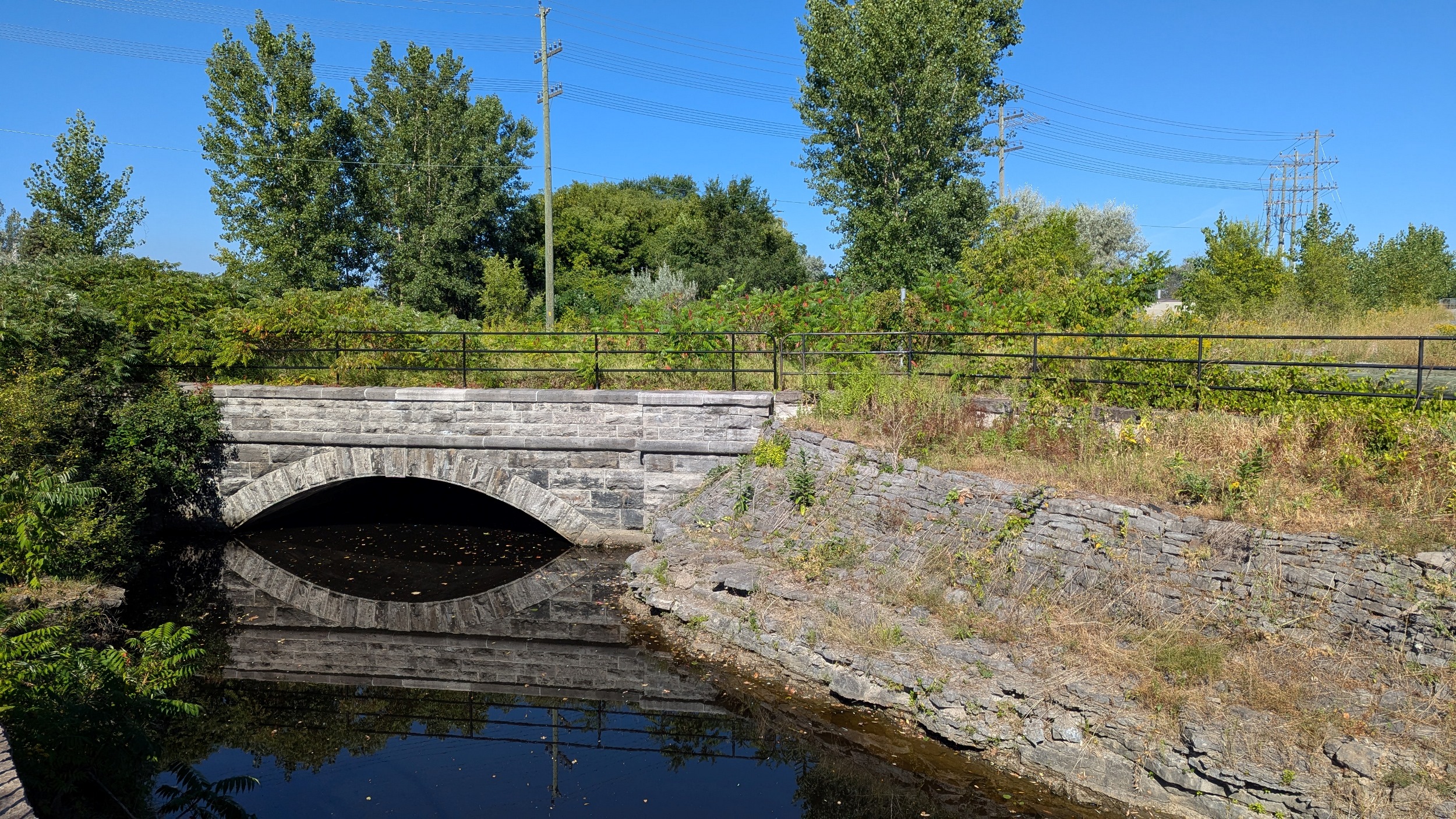
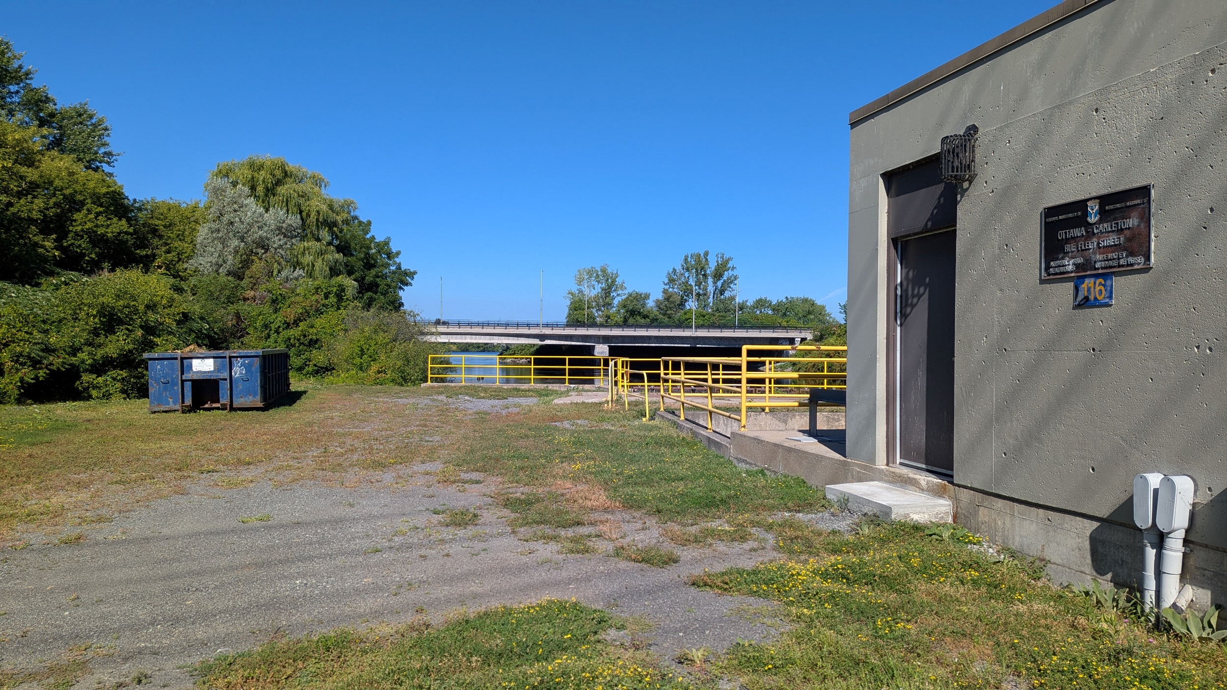
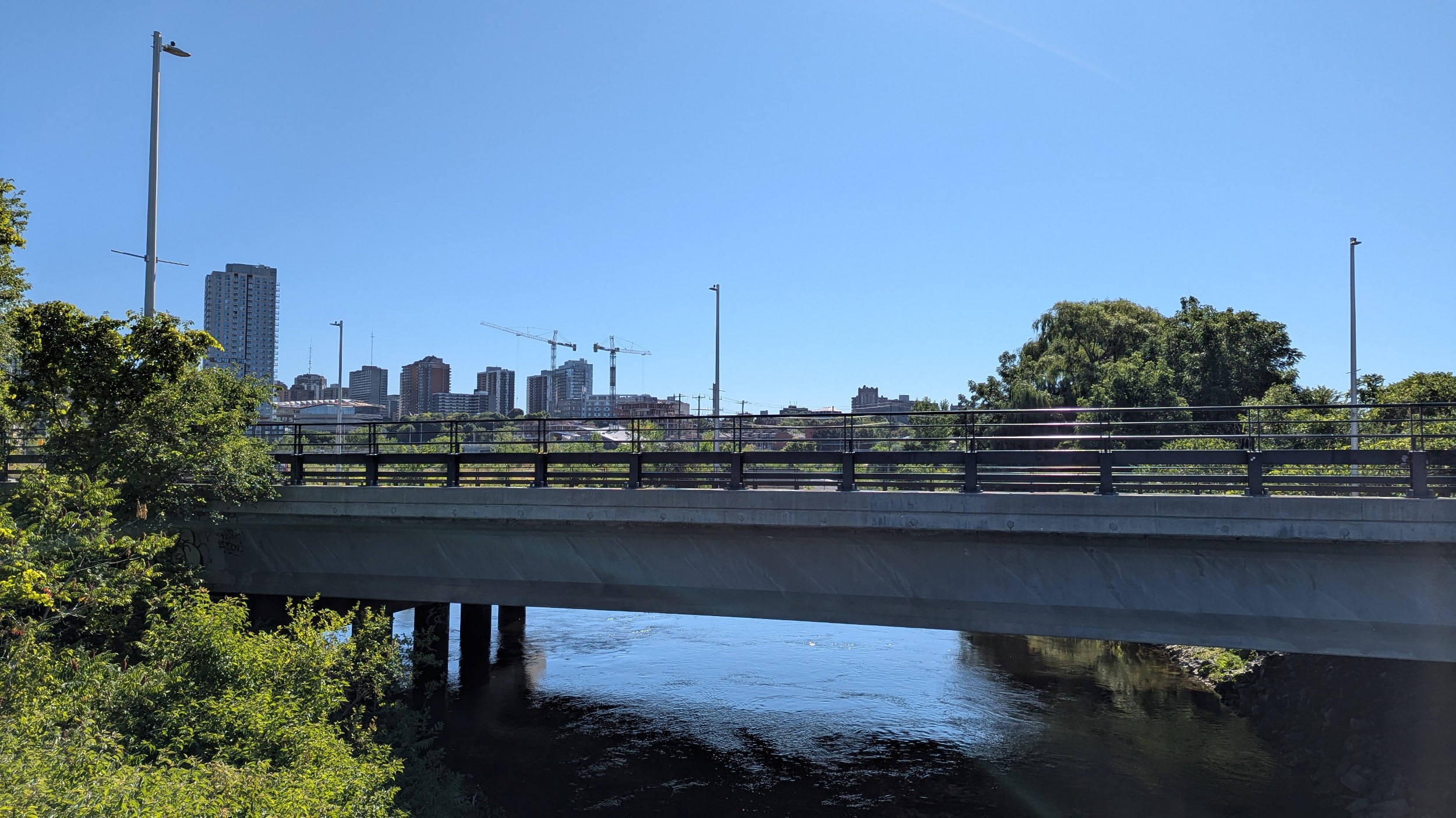
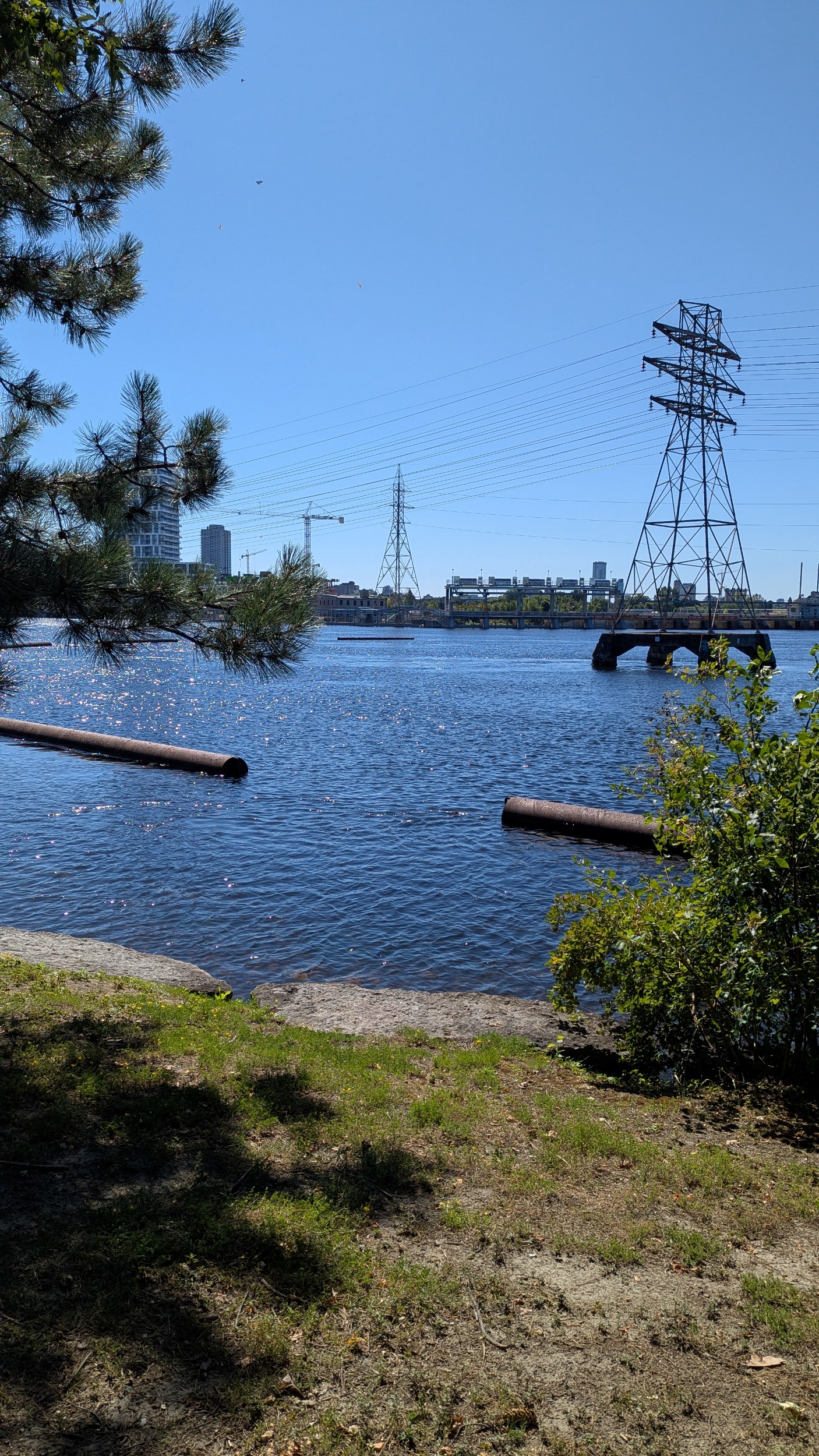
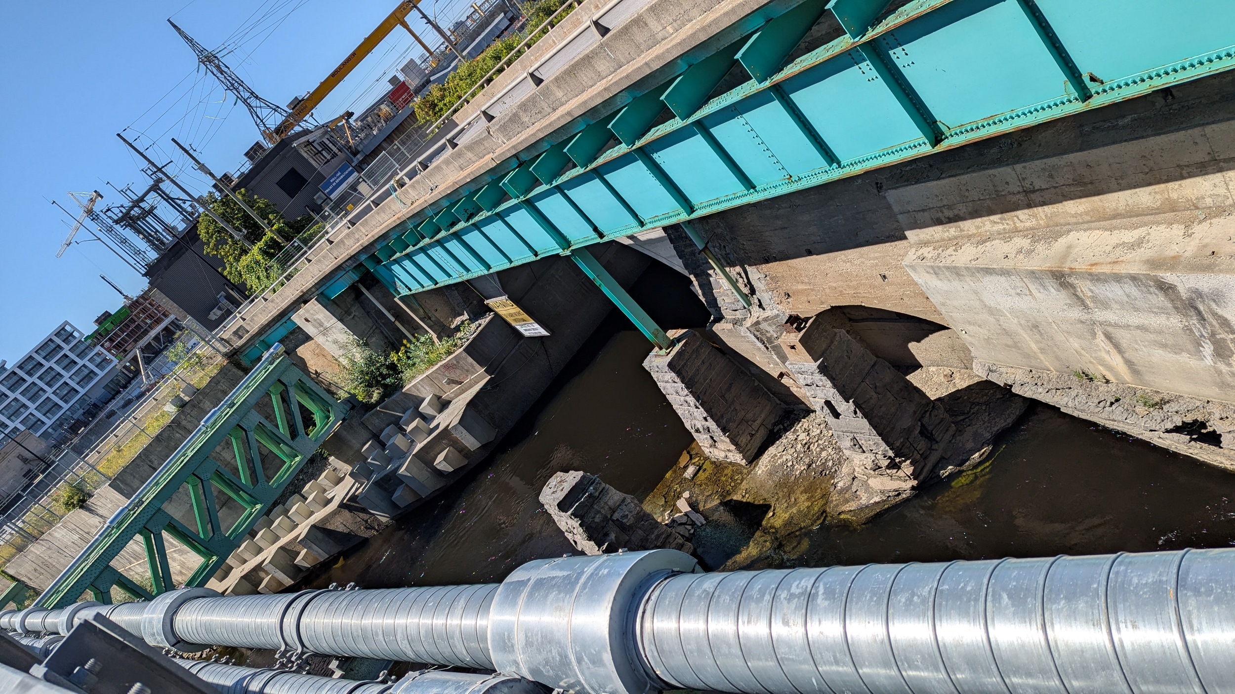
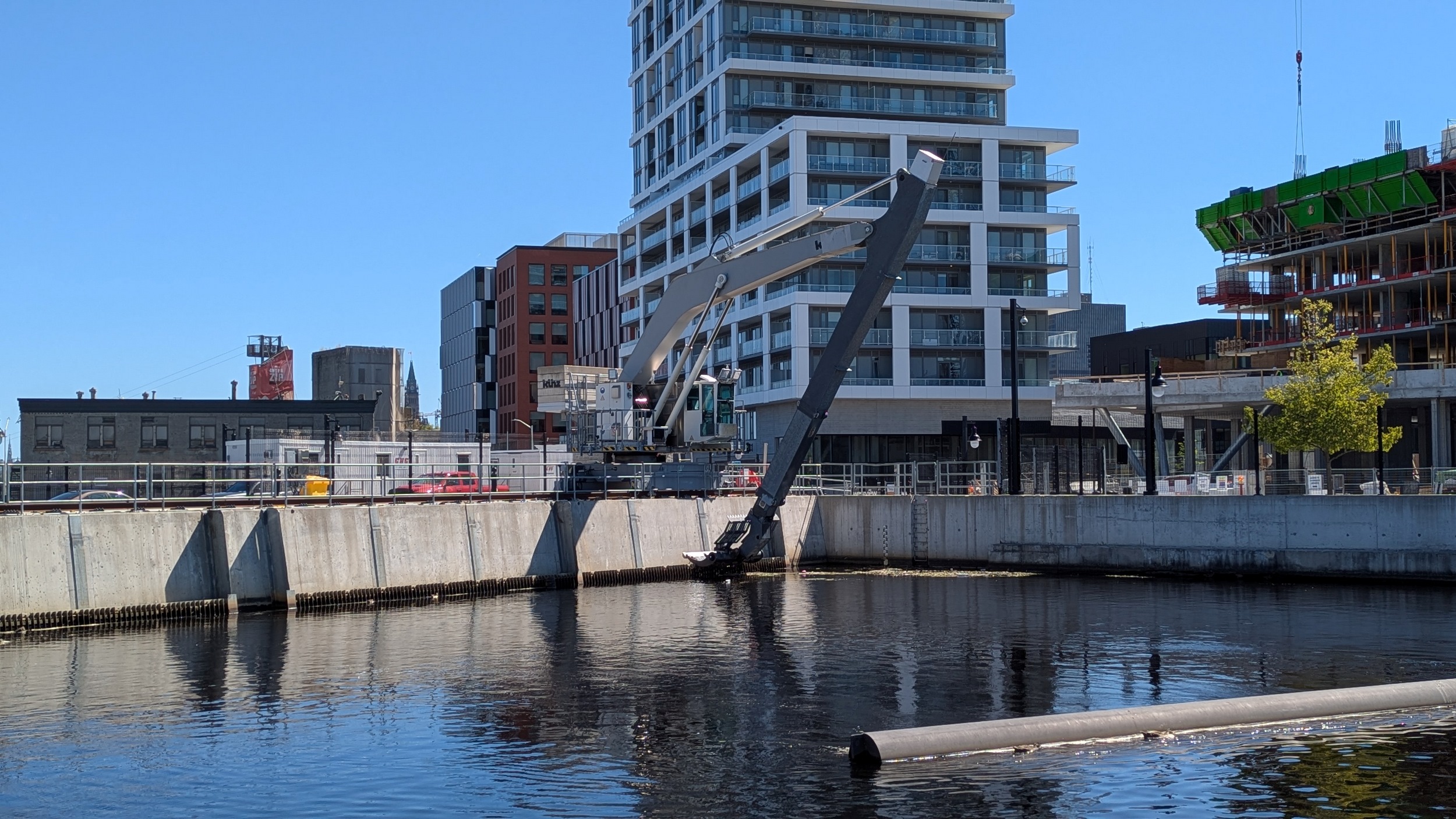
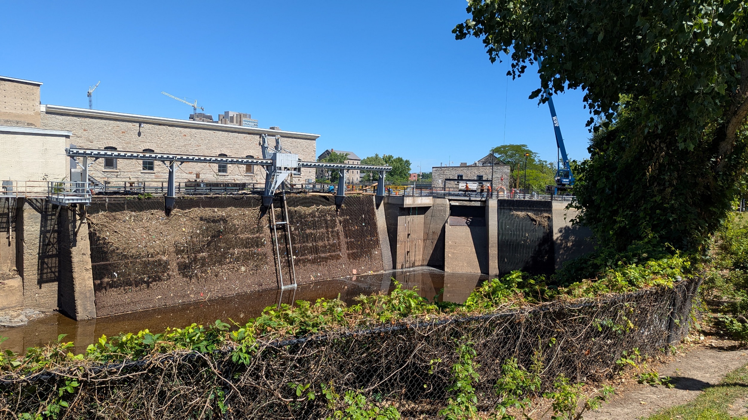
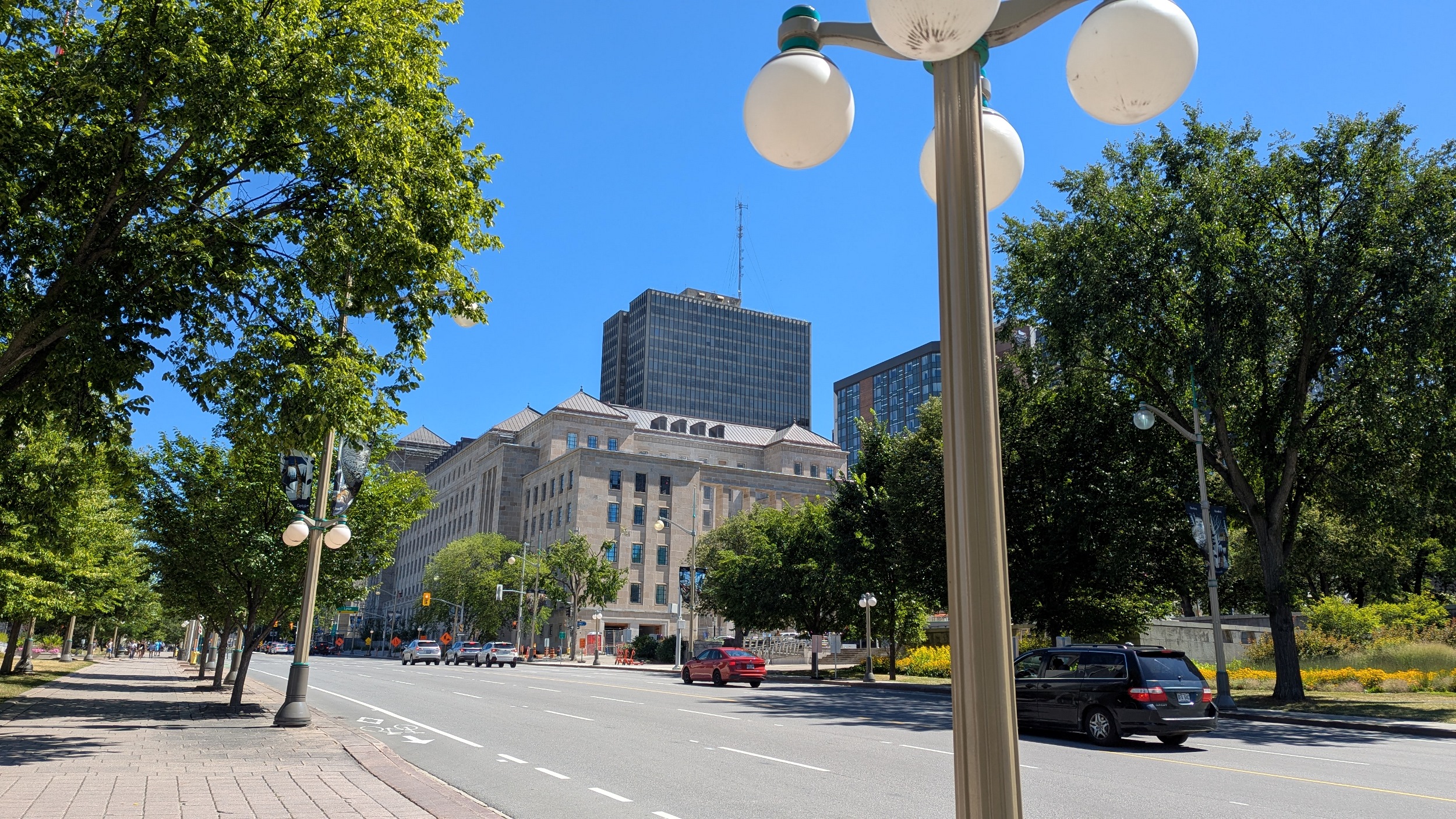
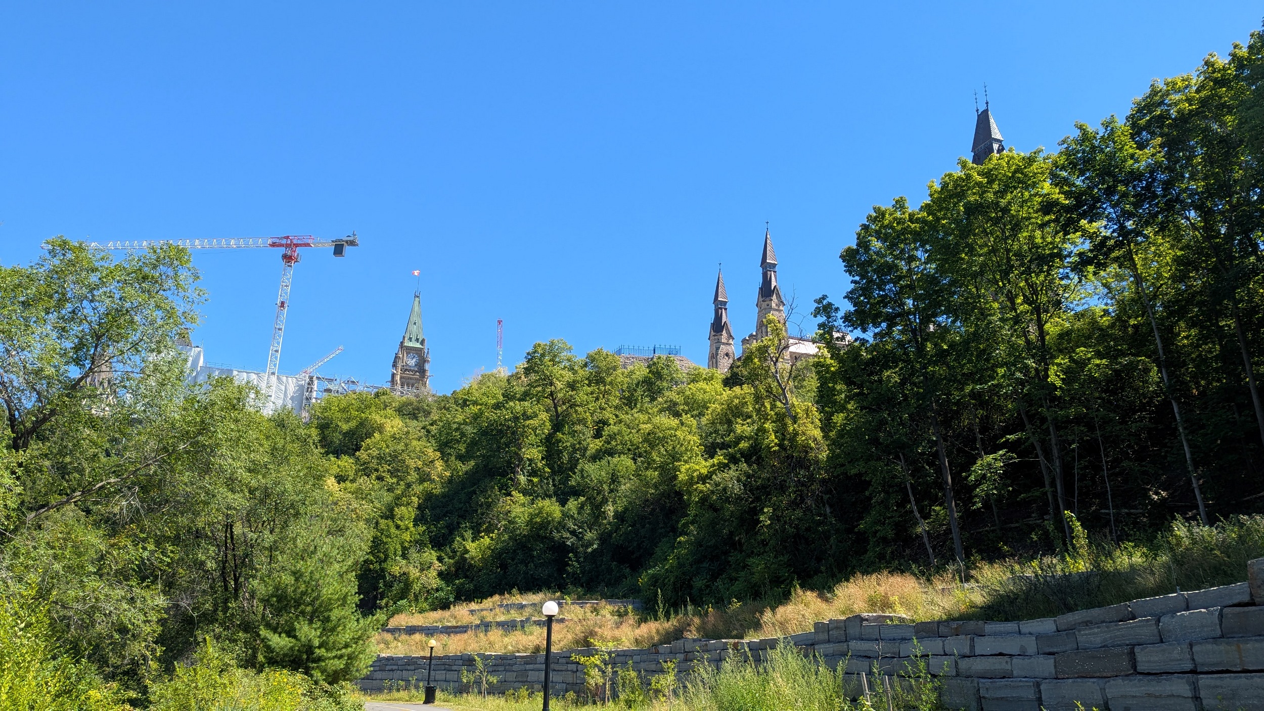
So my walk has already been messed up a bit by construction. But eventually I get down to a side channel that goes through the Fleet Street Pumping Station. I assumed it was a hydroelectric facility, but seems it is for water supply.
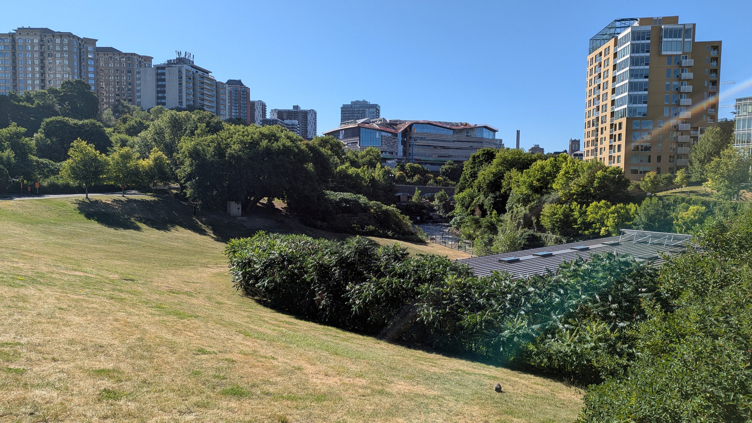
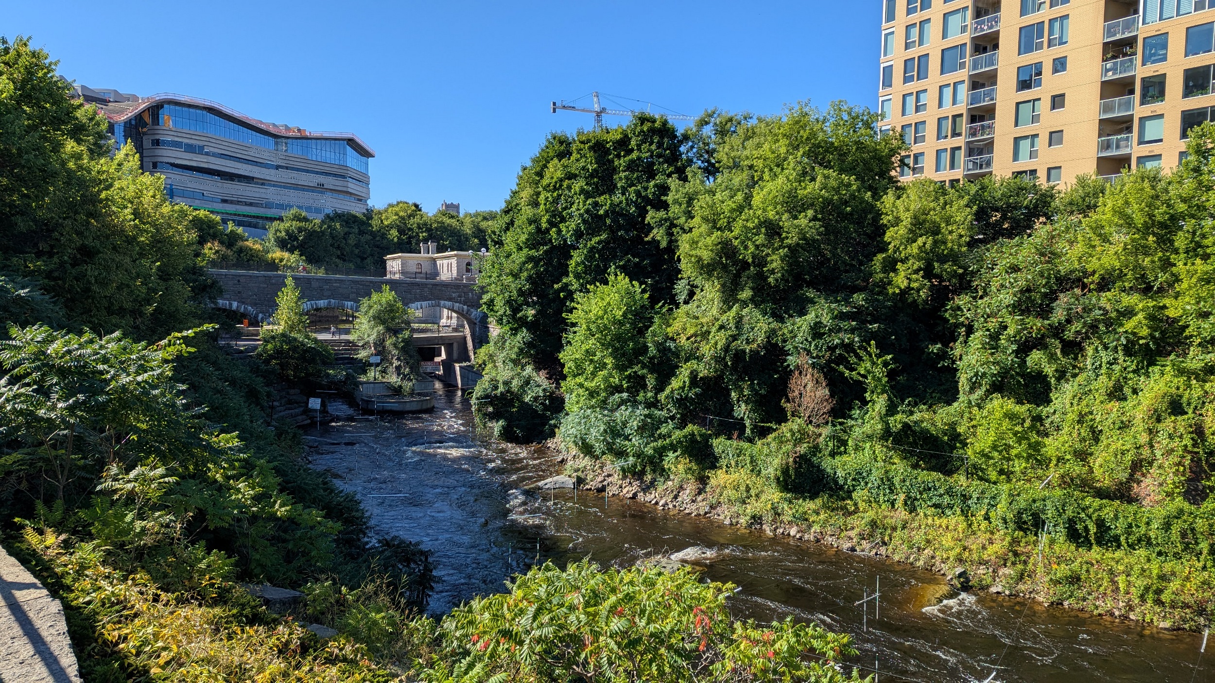
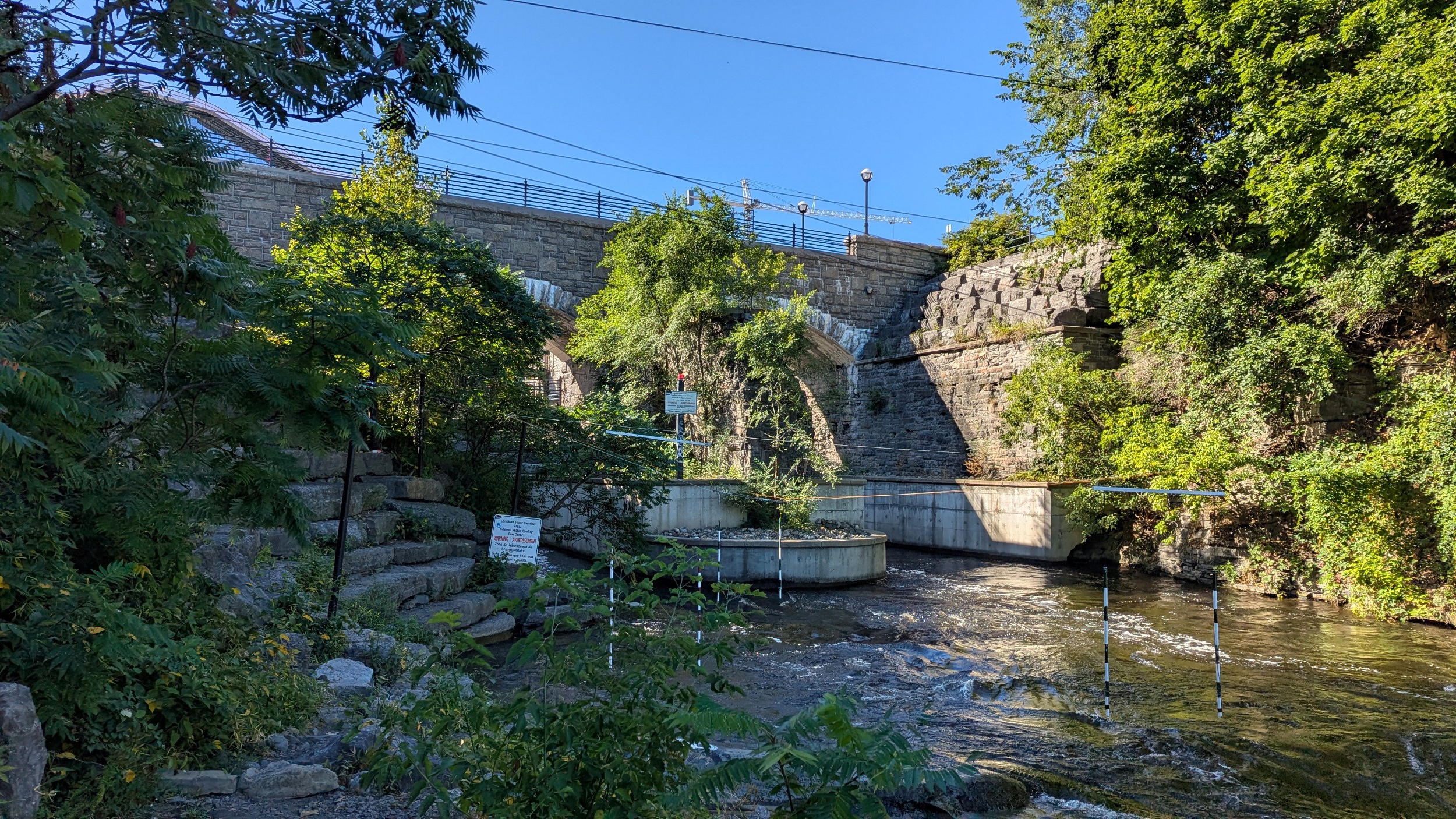


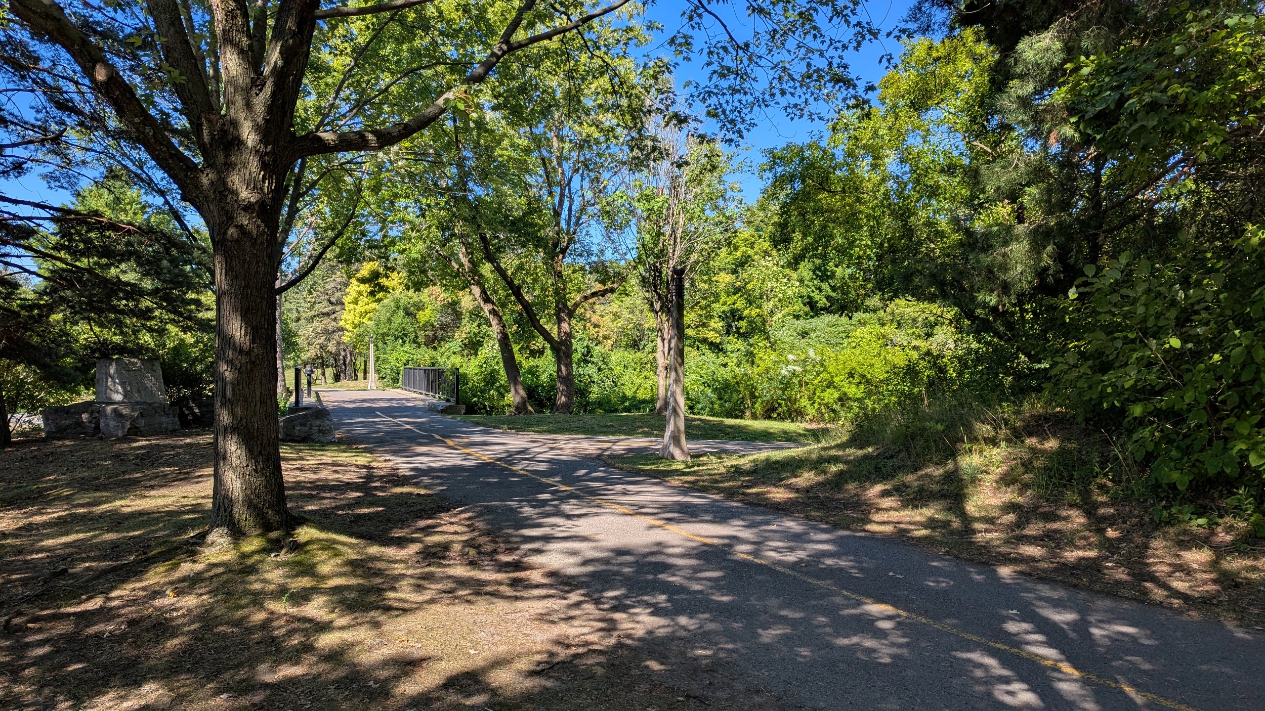
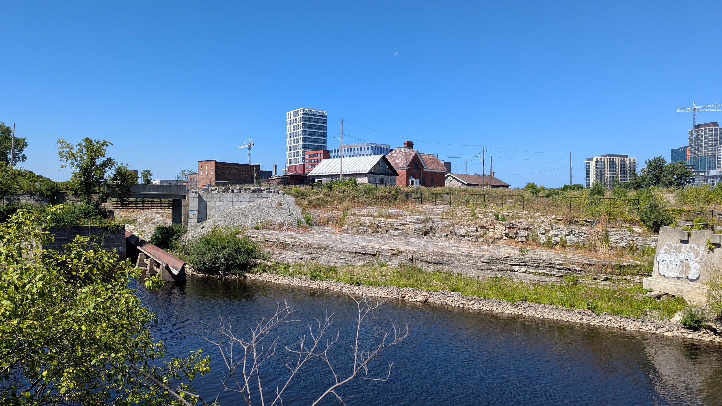
Continuing up the channel takes you into LeBreton Flats proper. It meets Pimisi Station, and what is supposed to be the future gateway to the Ottawa Senators’ new rink.

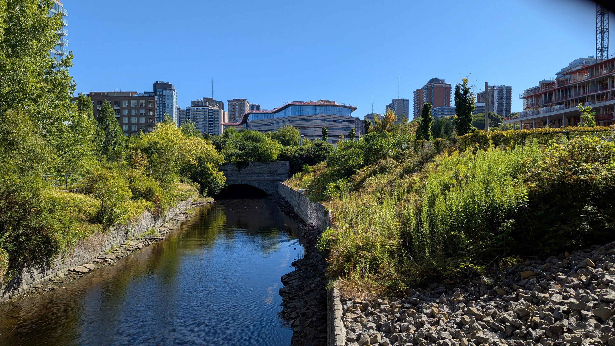

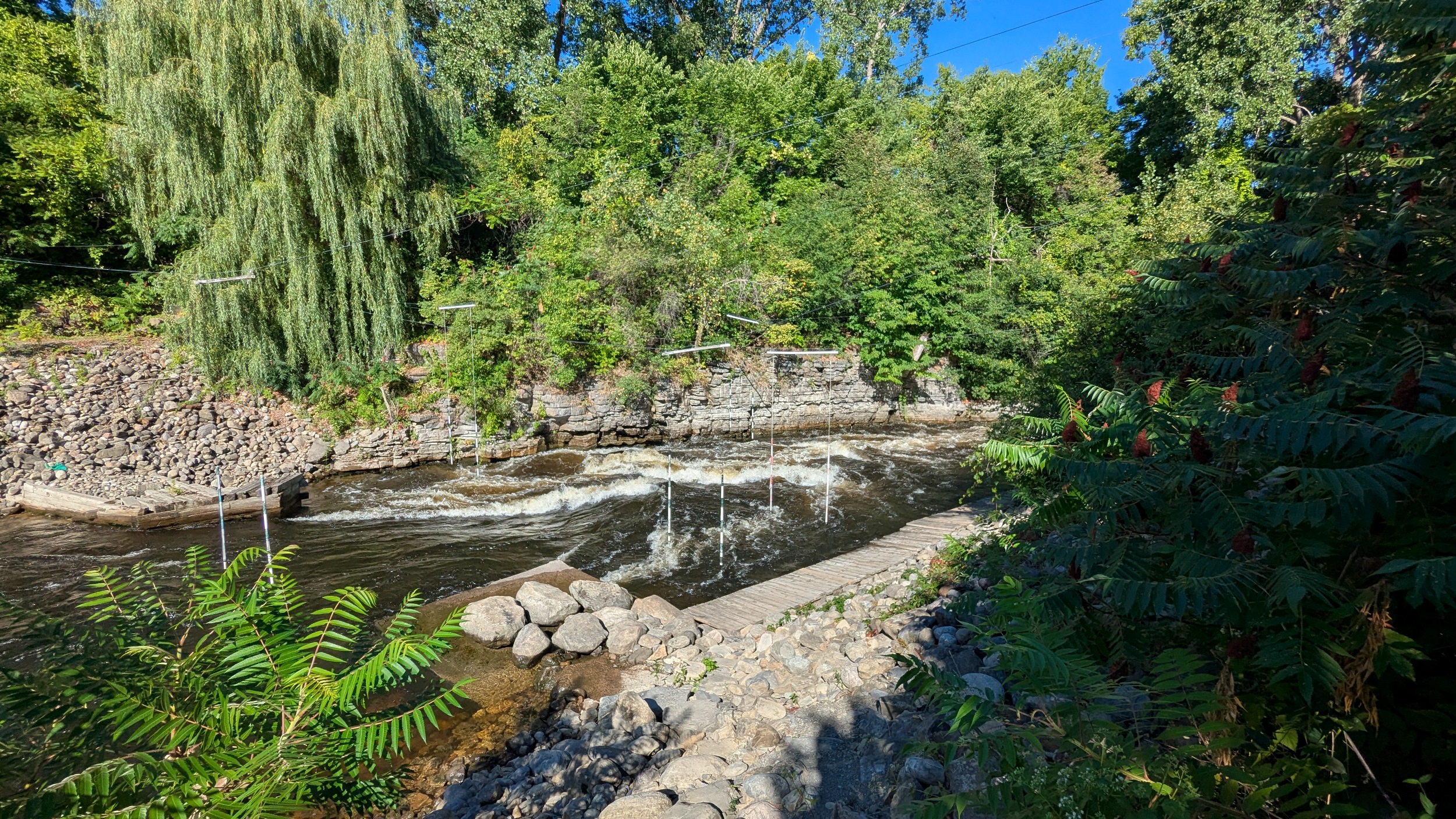
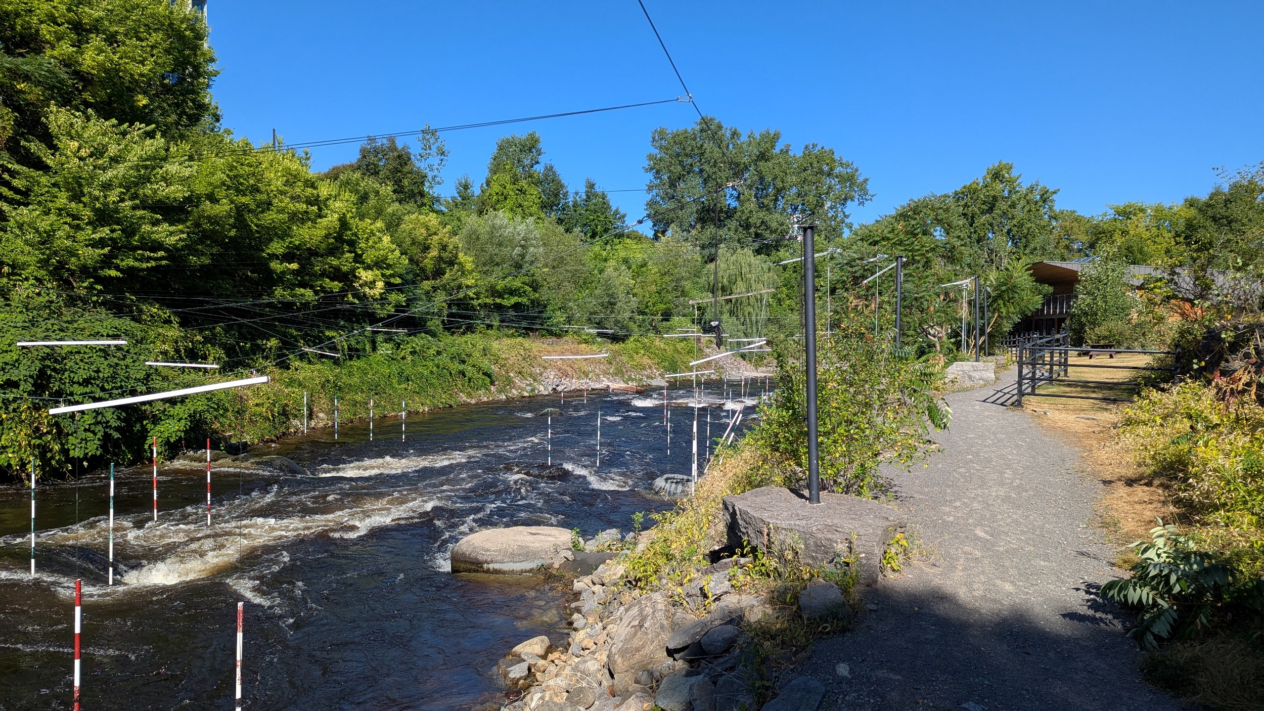
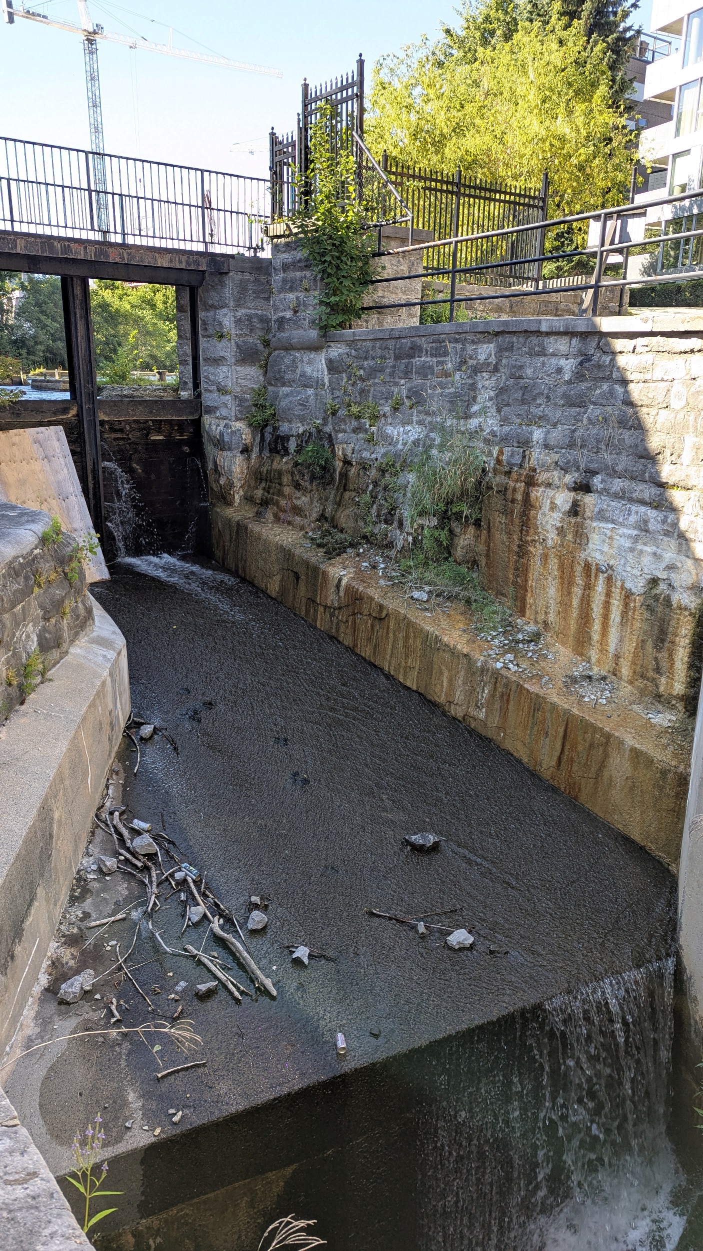
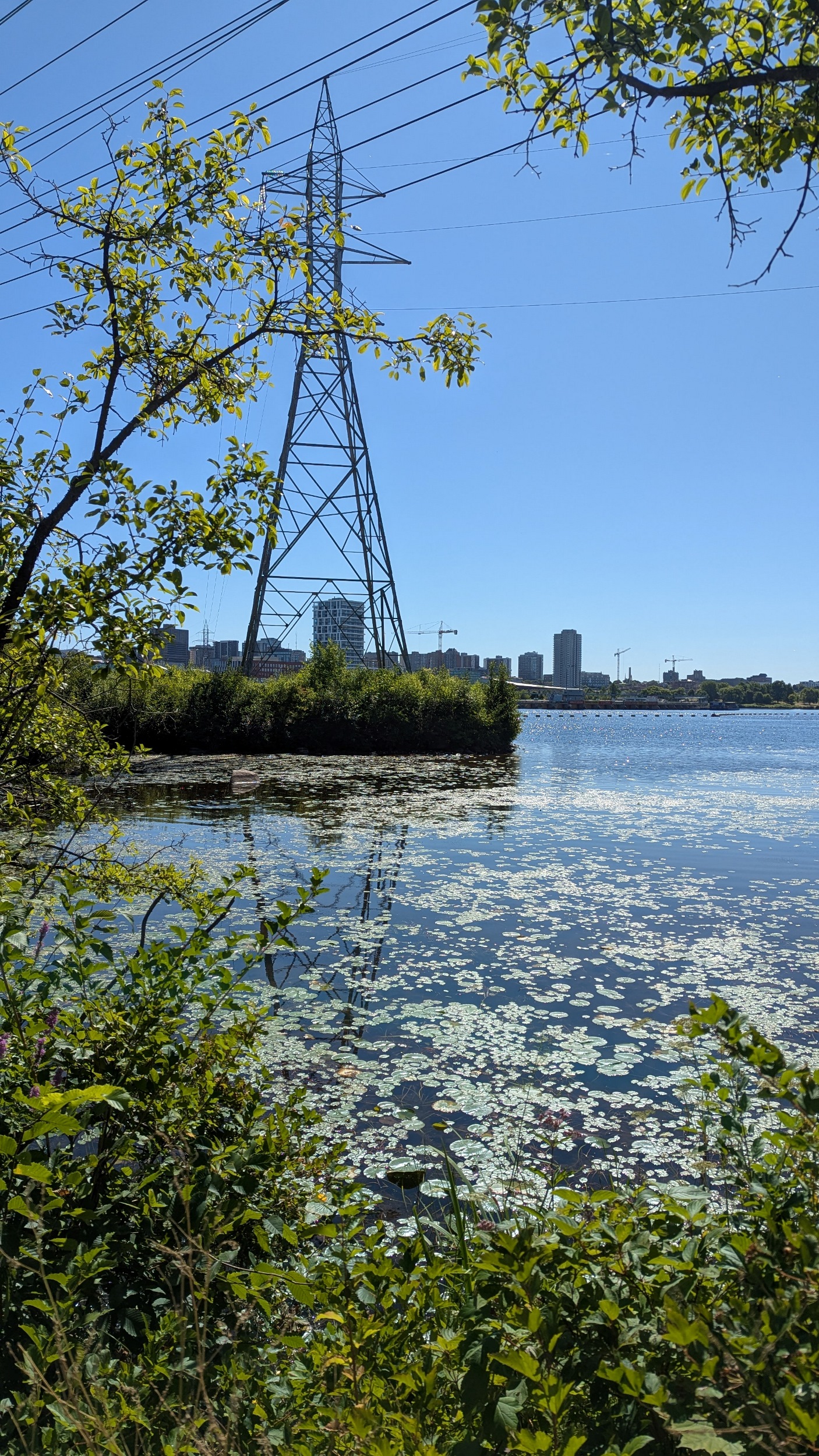
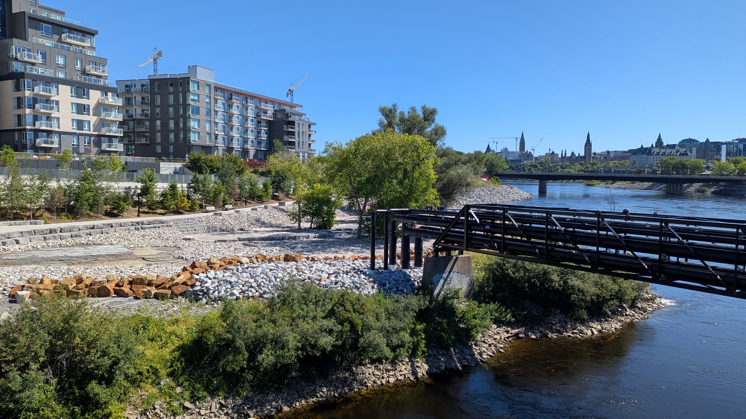
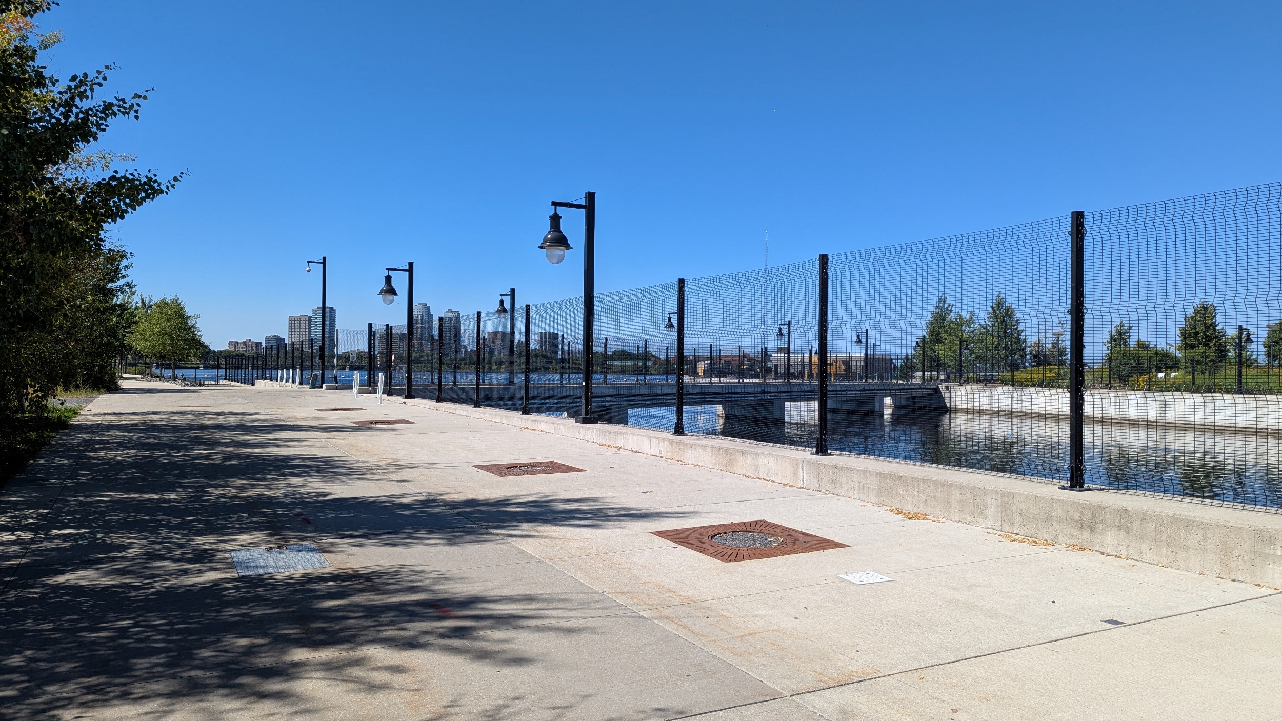
The channel looks pretty stagnant in this reach. Almost got trapped behind a fence walking past the headworks building. Managed to get around and over to where the channel begins at the Ottawa River.

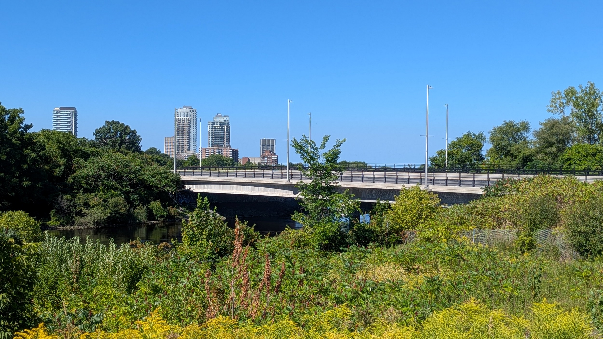
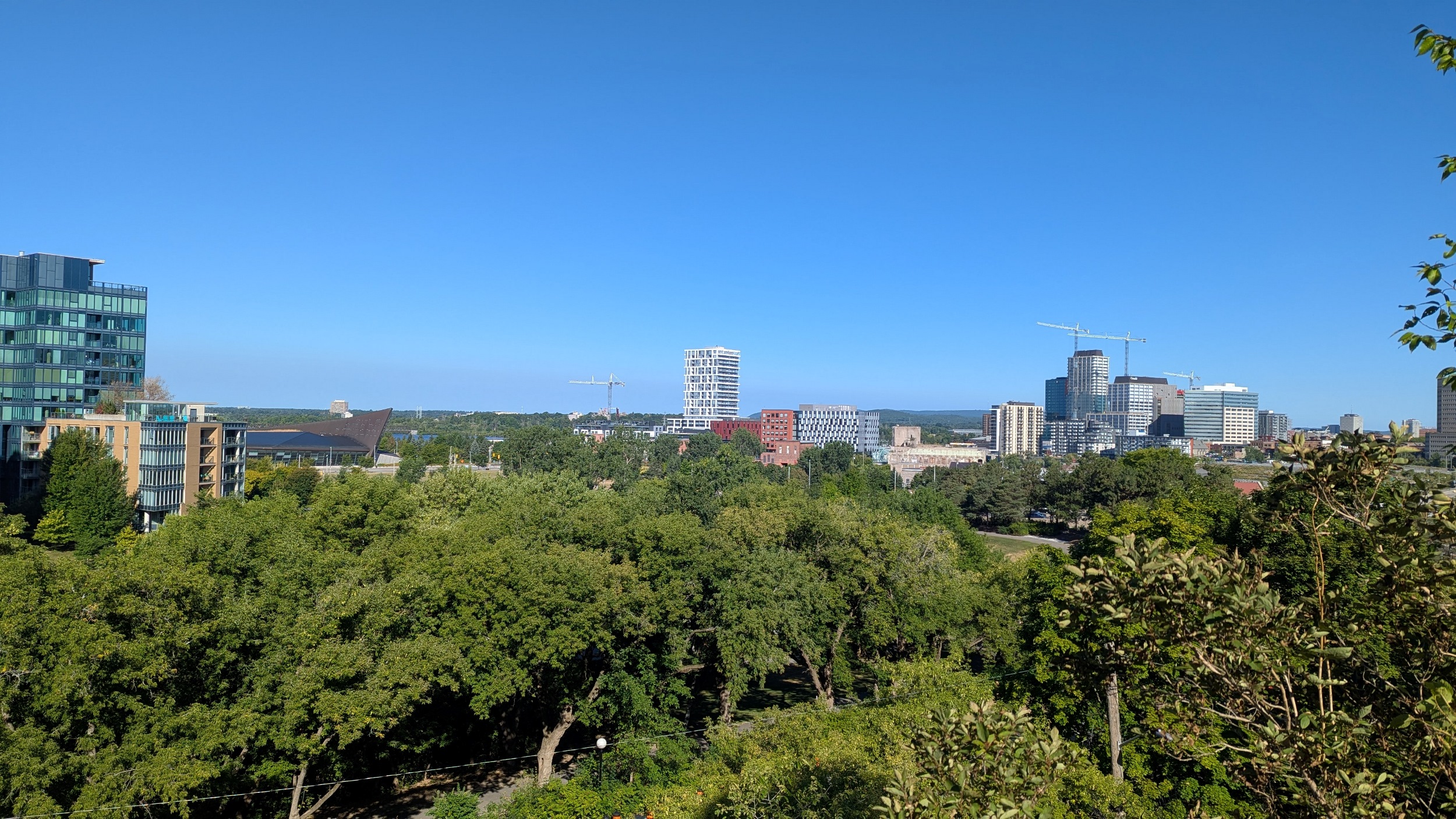
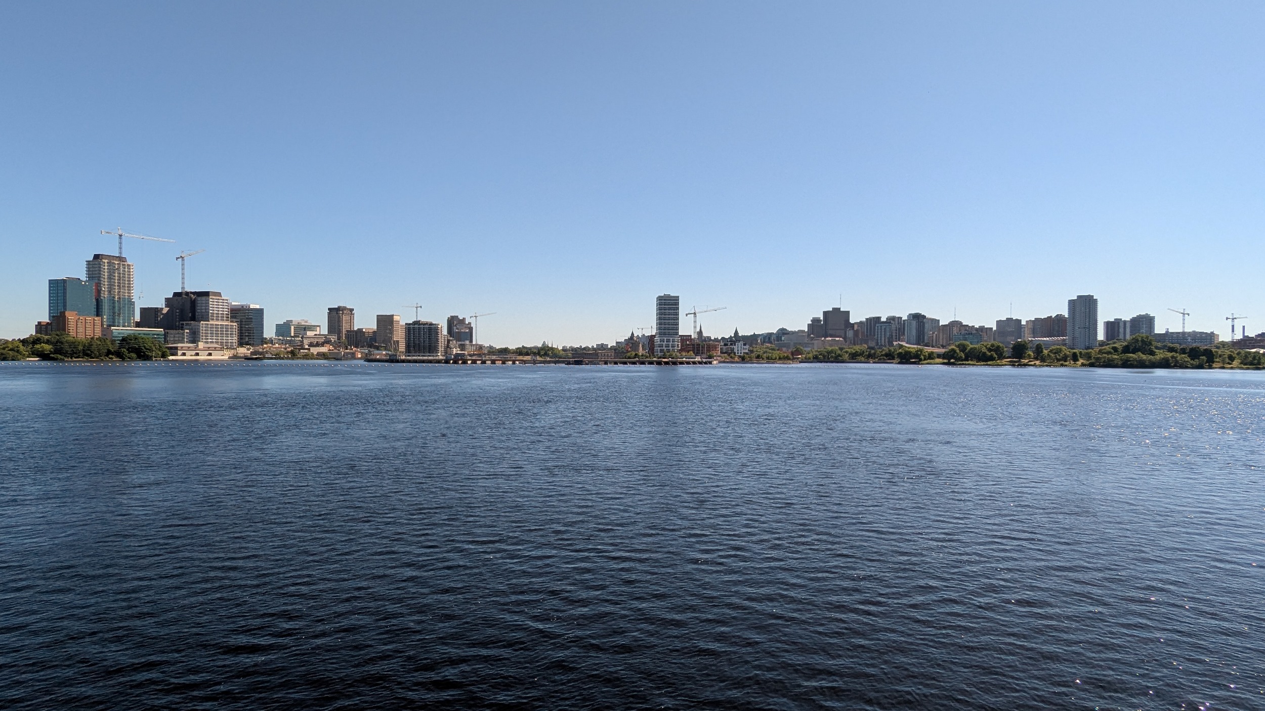
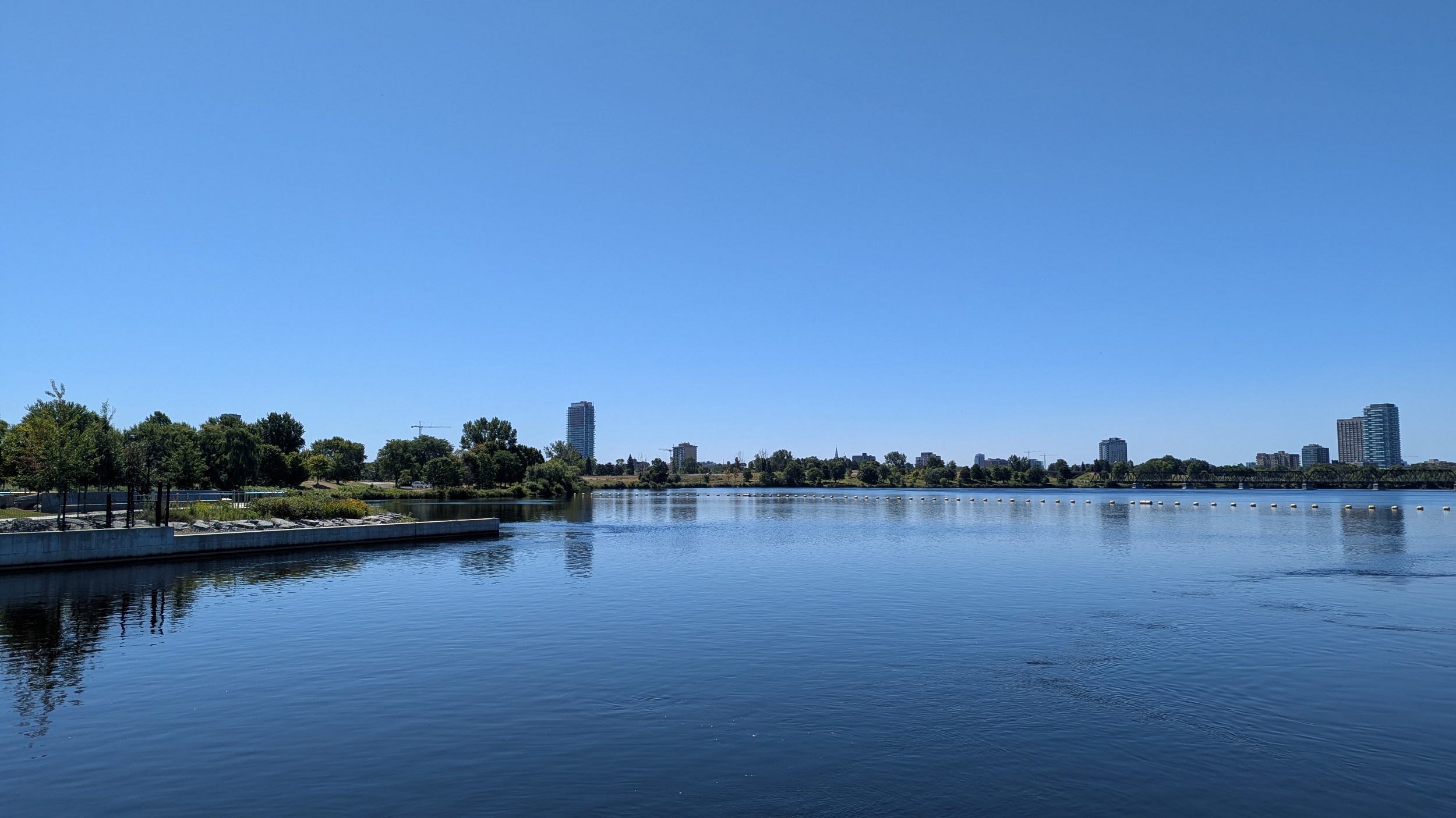
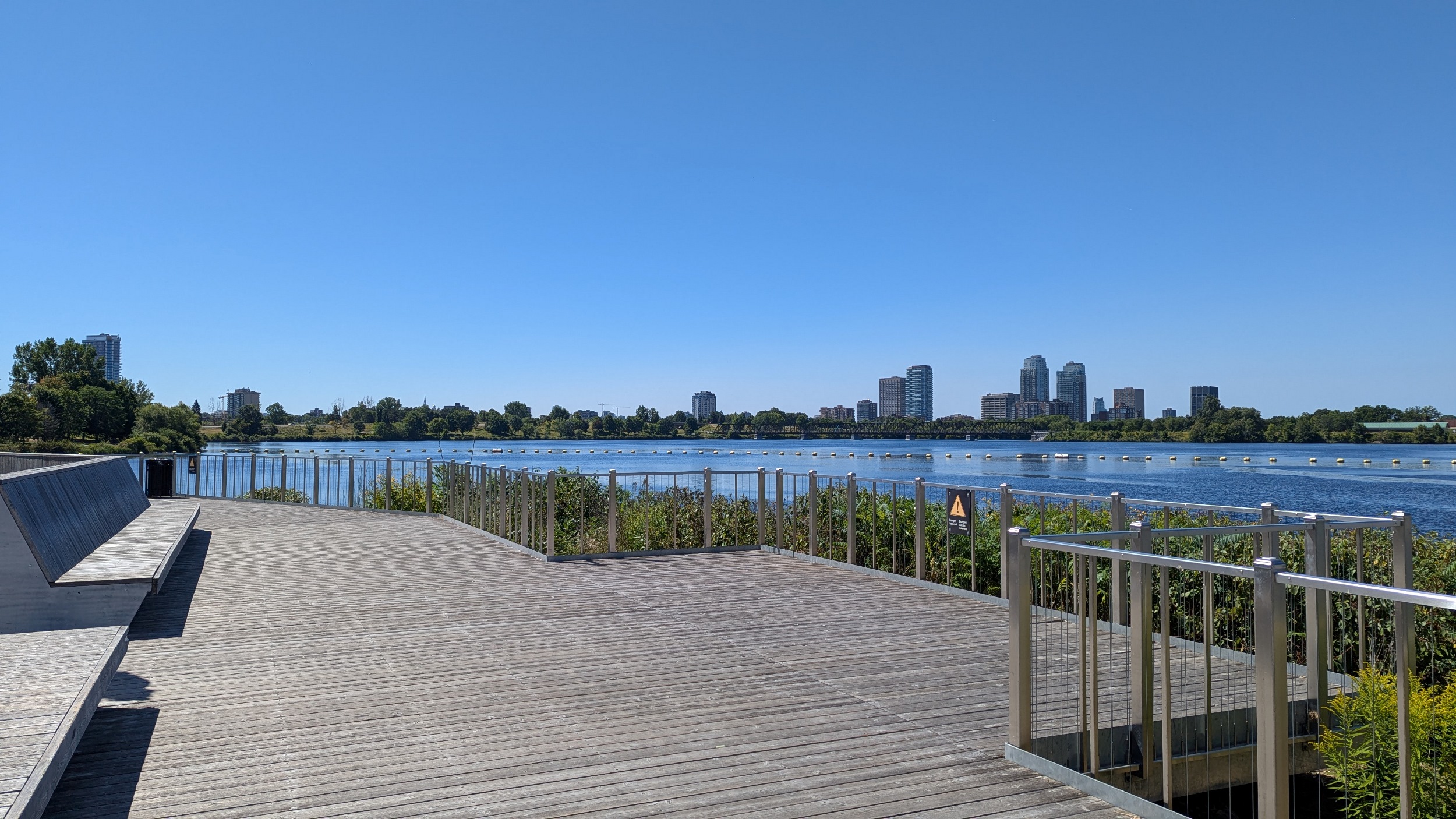
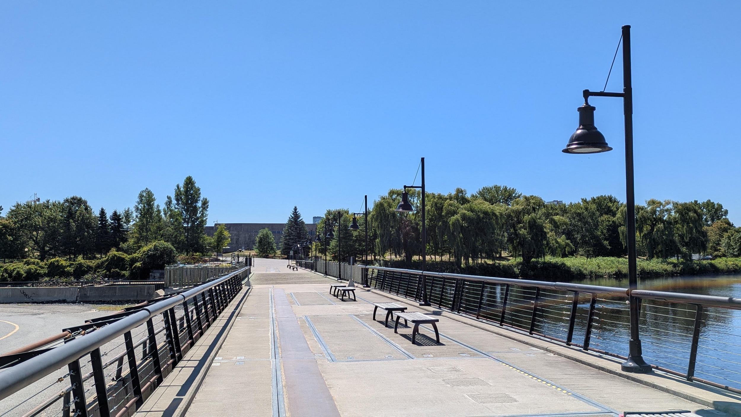
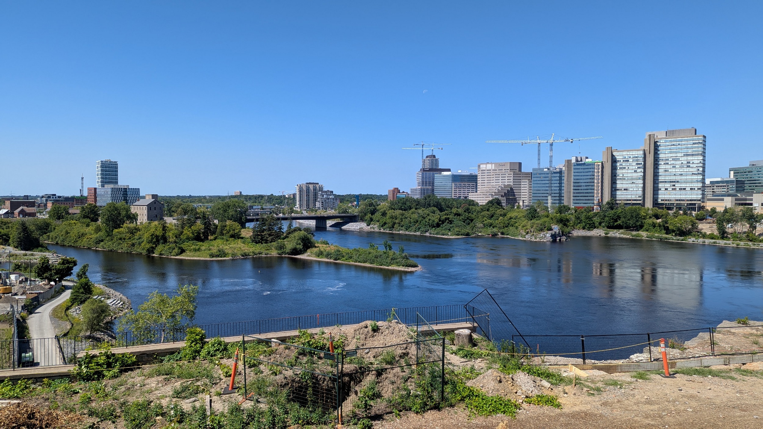
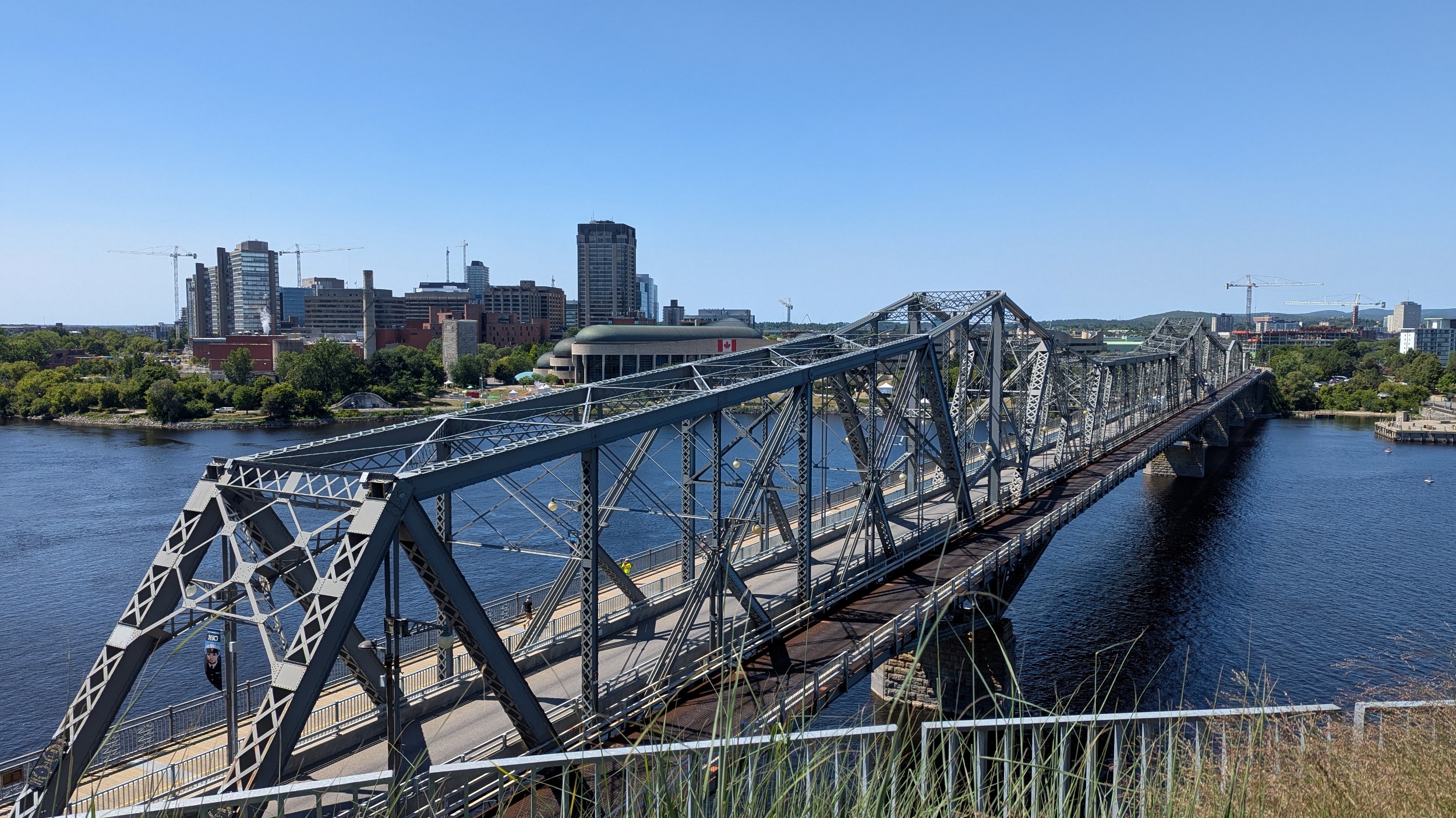
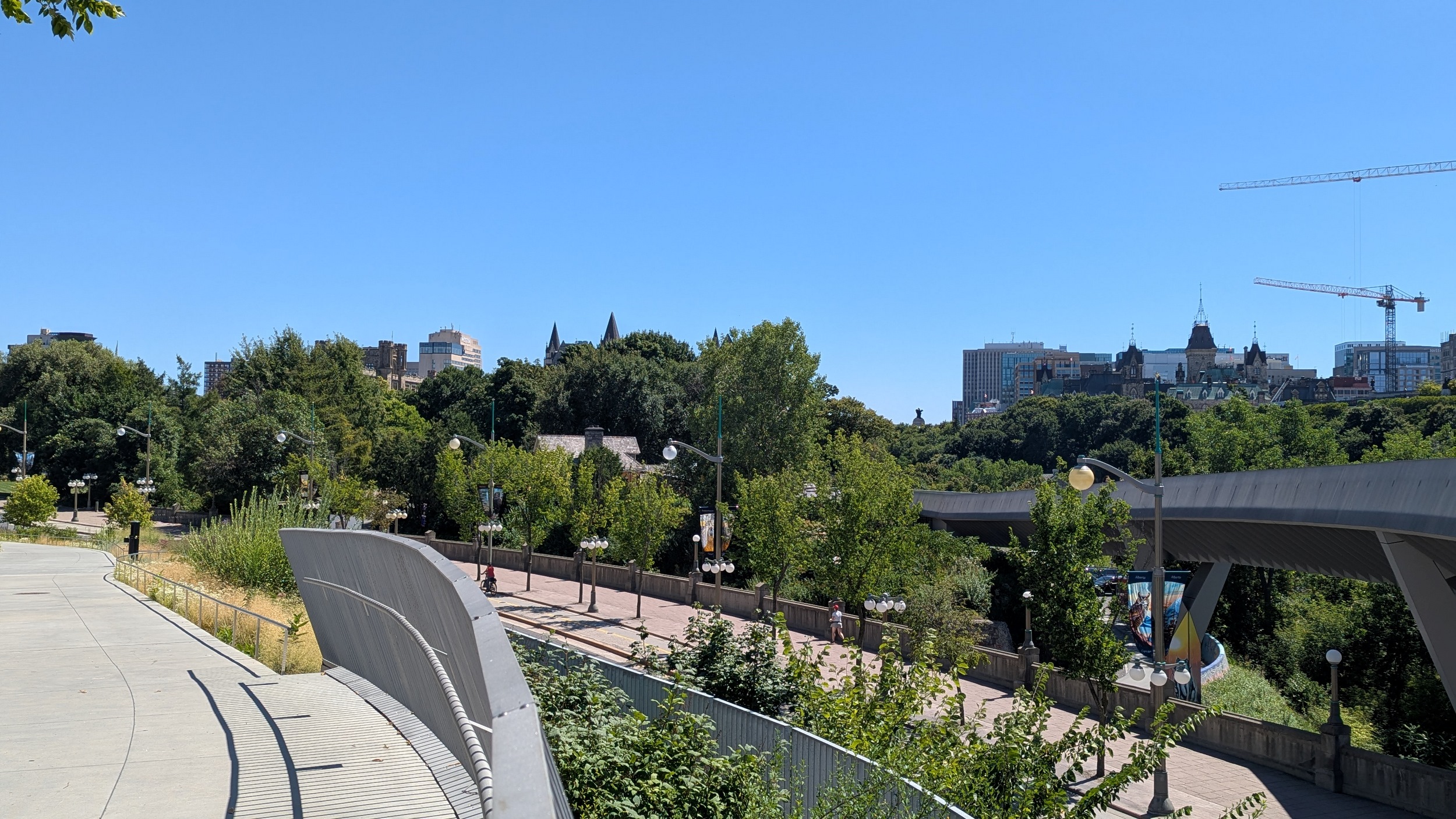
And now for a real treat: crossing the Chief William Commanda Bridge into Gatineau. Not only does it provide a great view of the river, but also of the Ottawa and Gatineau skylines.


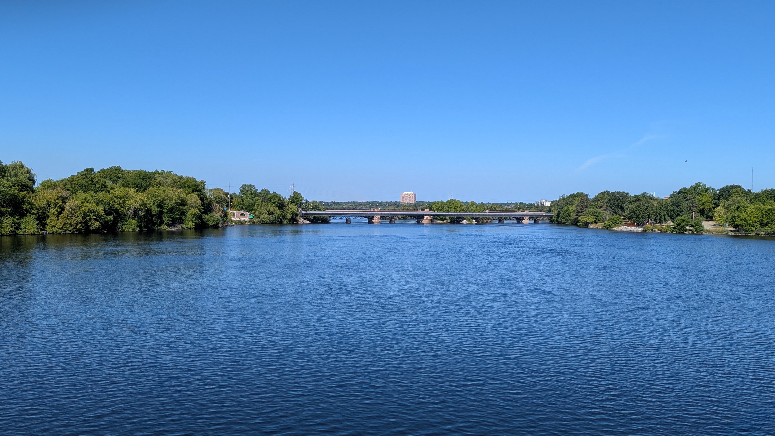

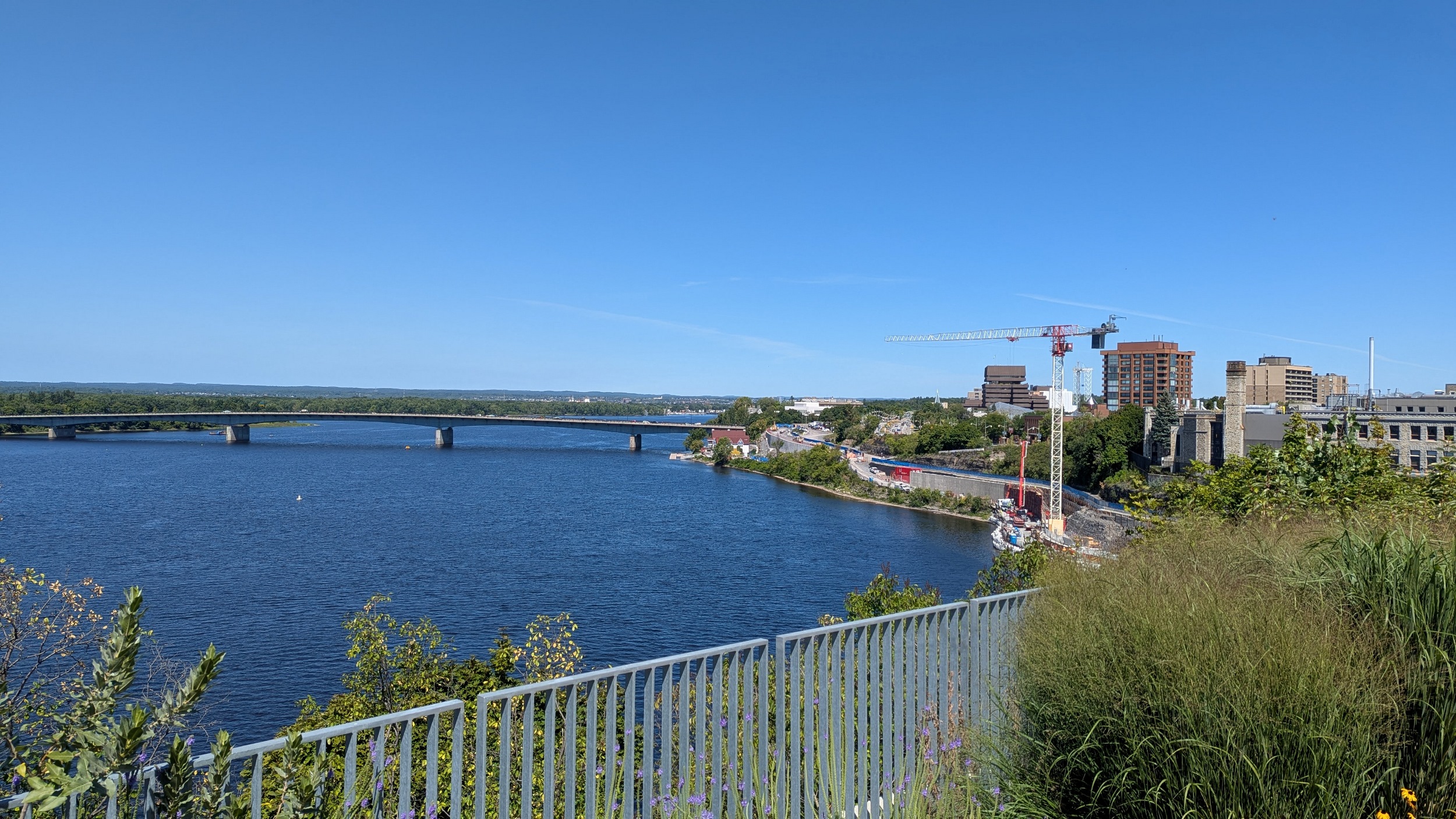
I still think this bridge should have been a rail link into Gatineau, because I didn’t see it as a binary choice; a pedestrian link could have been tacked on adjacent. But this is beautiful, I’ll admit. Past Lemieux Island, you see rocky spits before crossing the provincial border.


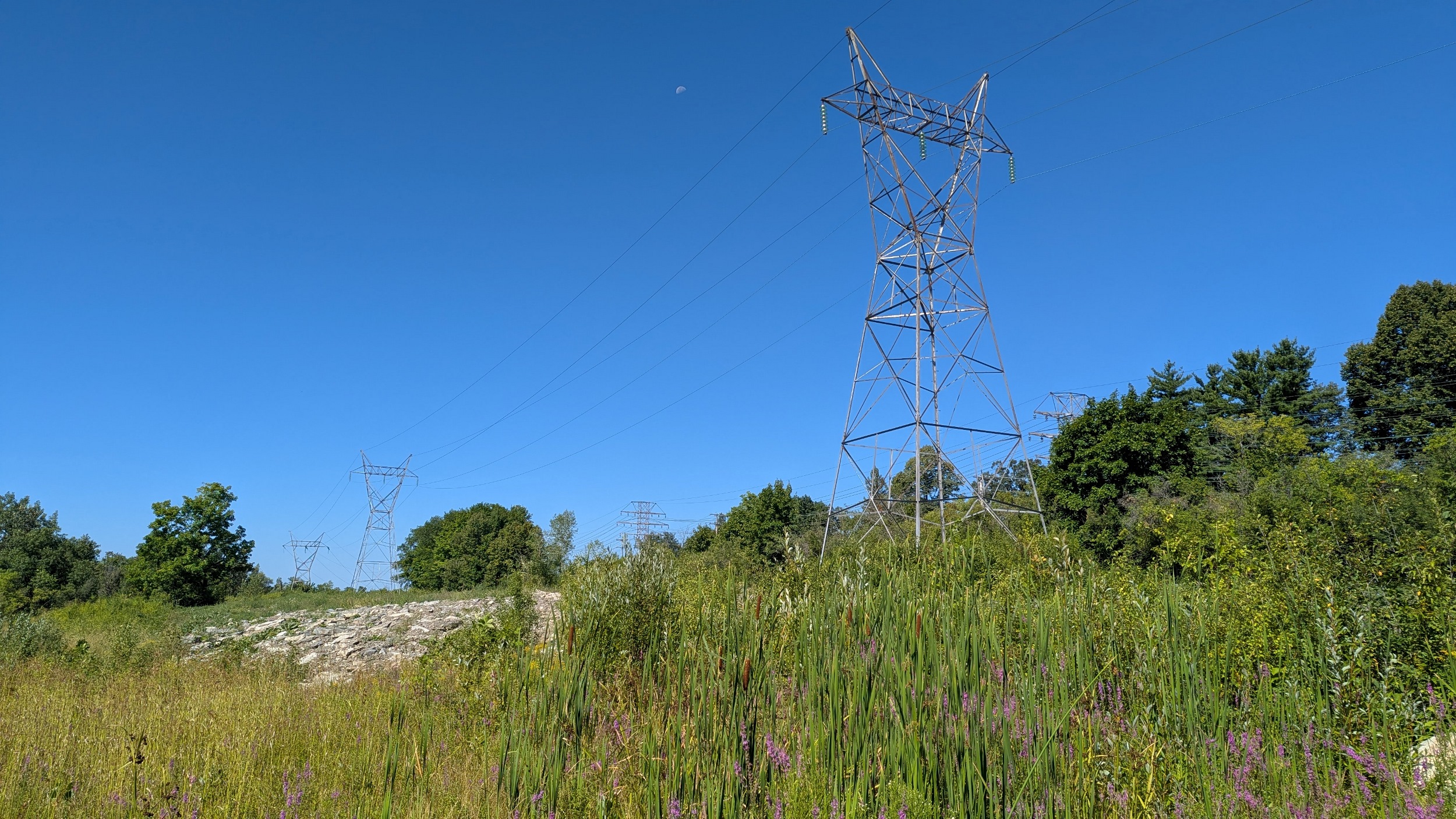
Sur la rive nord, les lignes des barrages sont encore au-dessus du terrain. J’adore les tours hydroélectriques sur l’eau, c’est très cool. Le trail longe le rivage avant d’aller sur boulevard Alexandre-Taché.
(On the north shore, the power lines are above the terrain. I love the hydroelectric towers on the water, they’re very cool. The trail runs along the shore before going onto Alexandre-Taché Boulevard.)


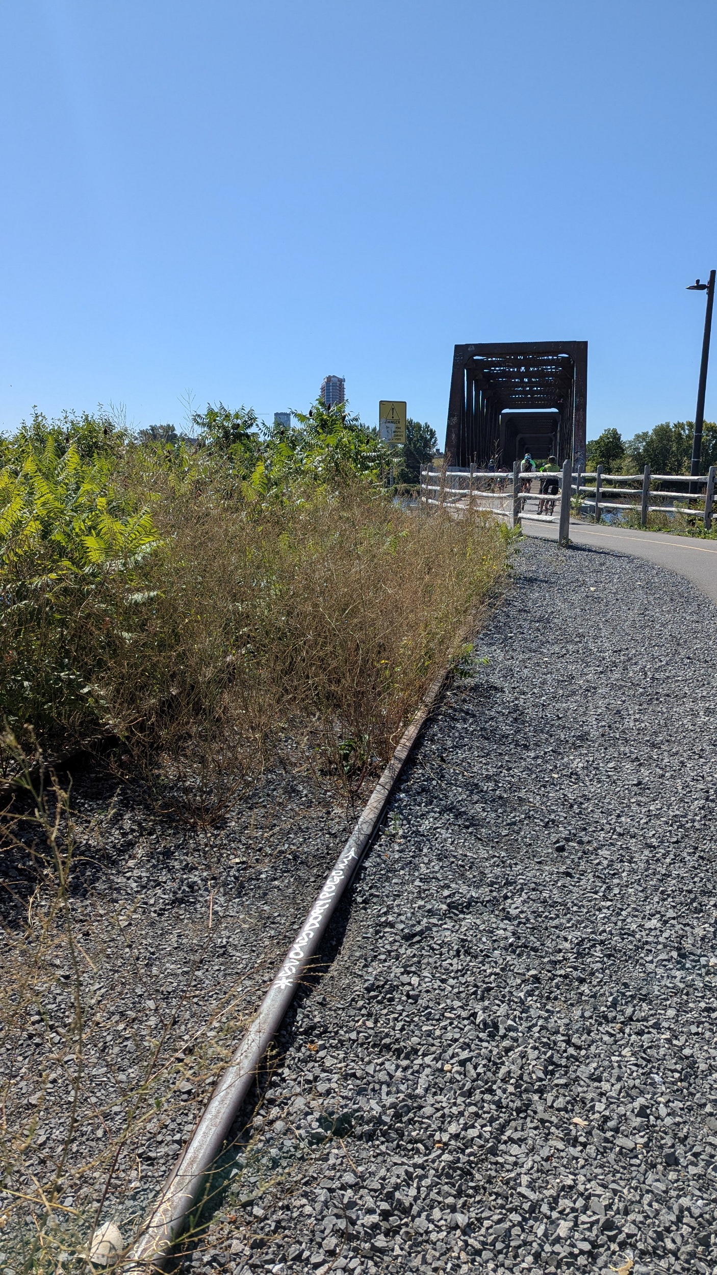
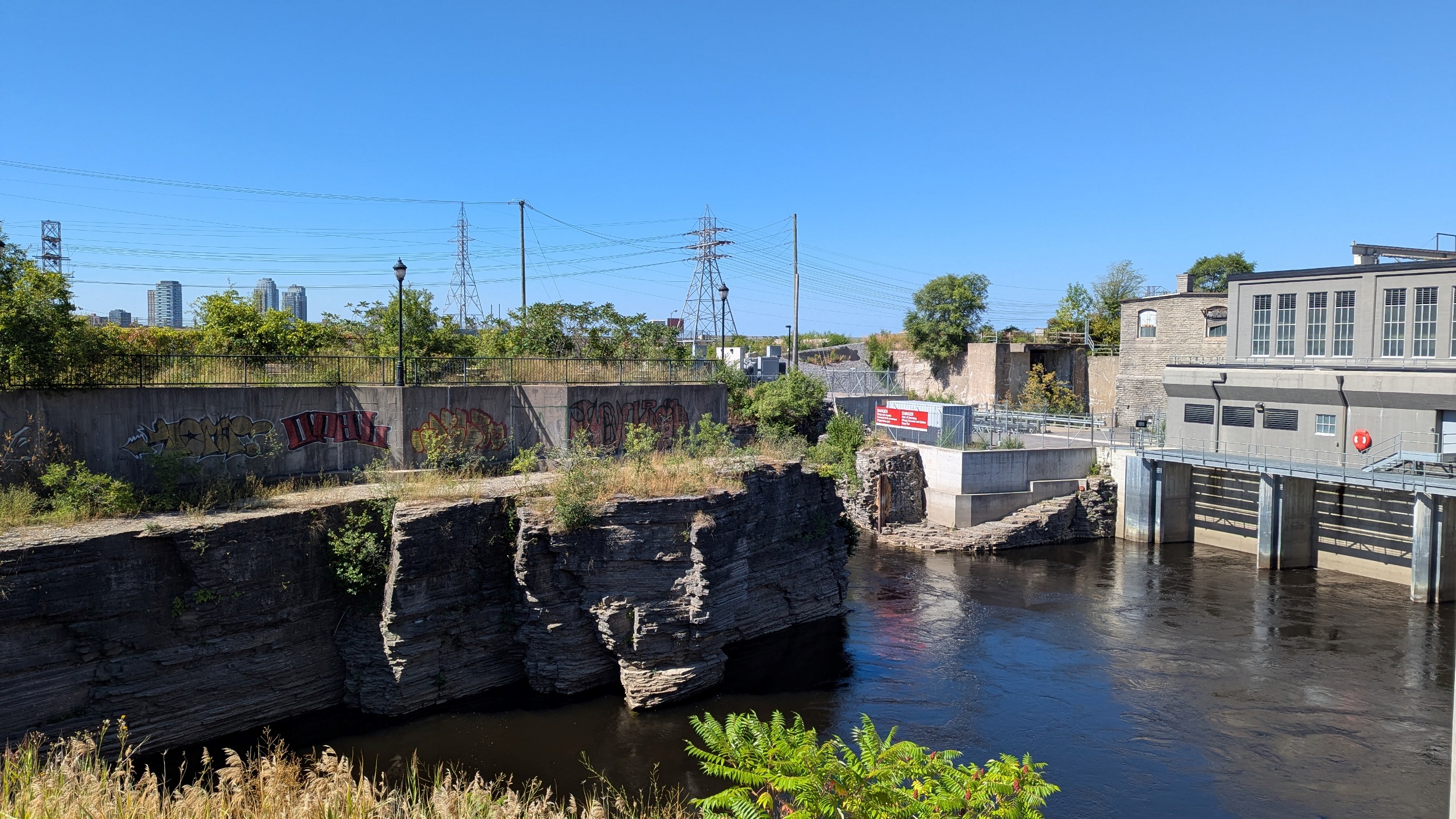
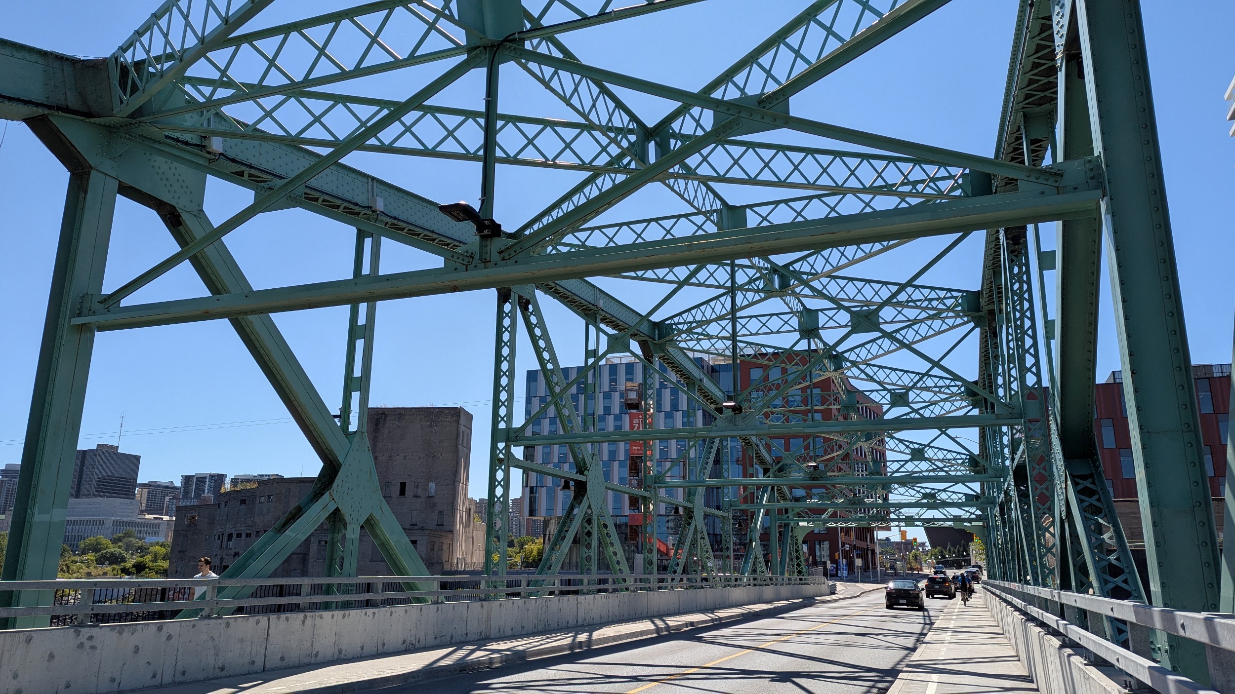
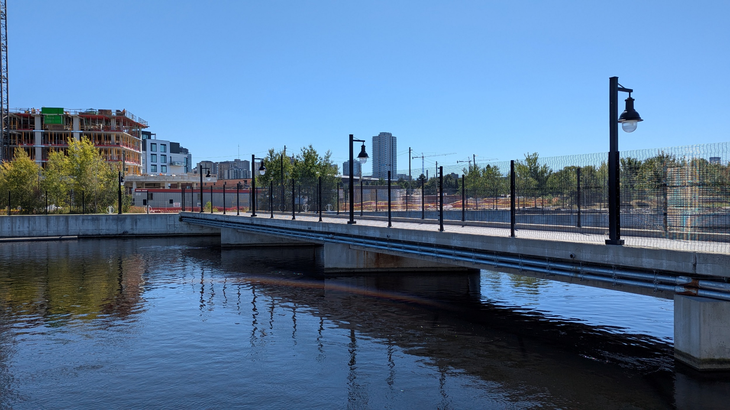
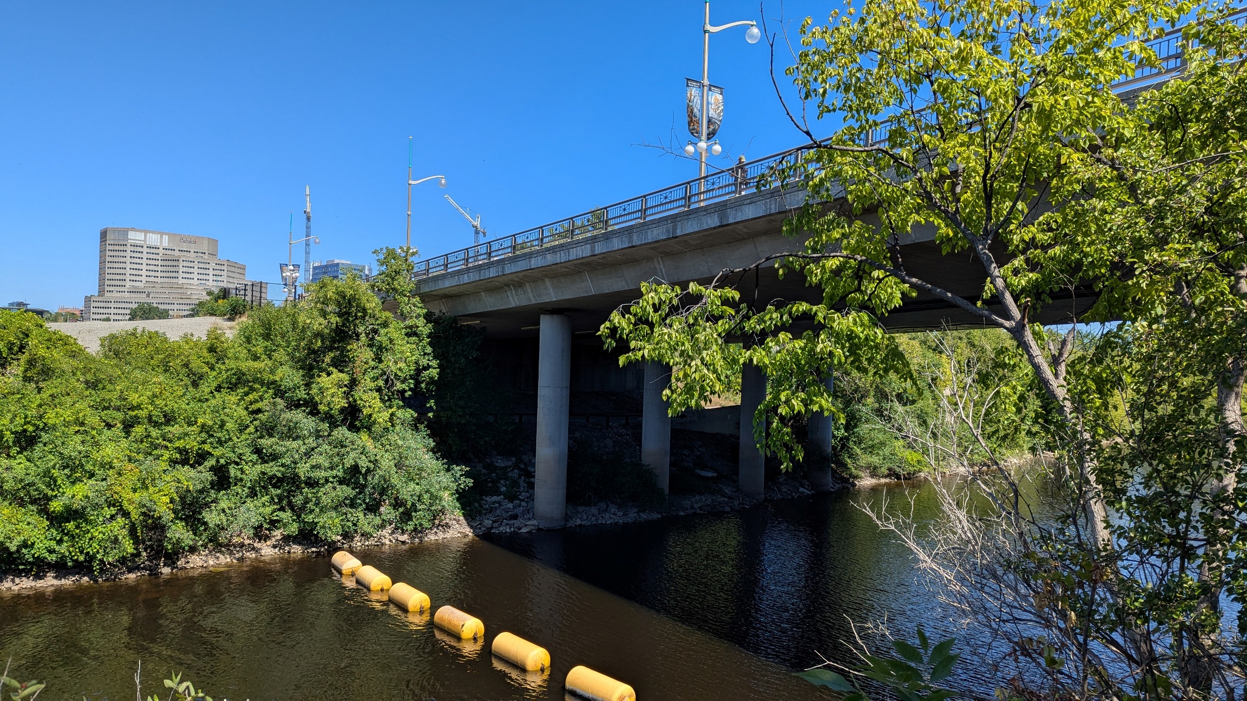
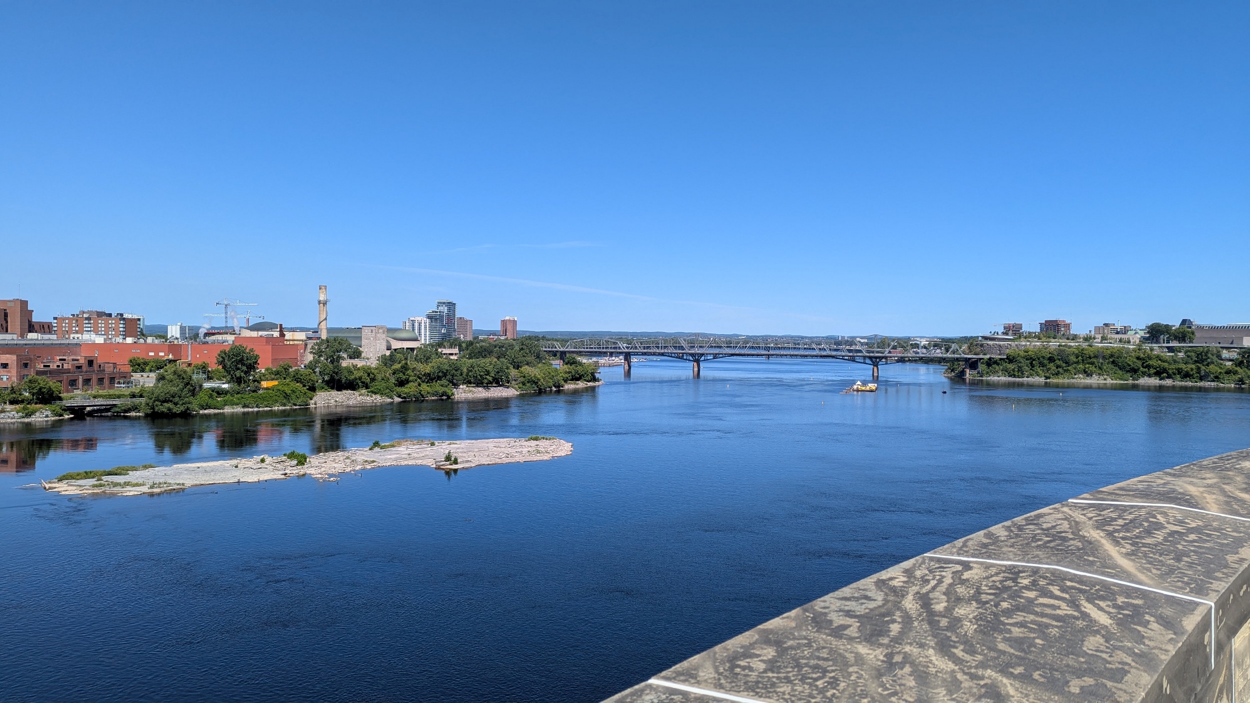
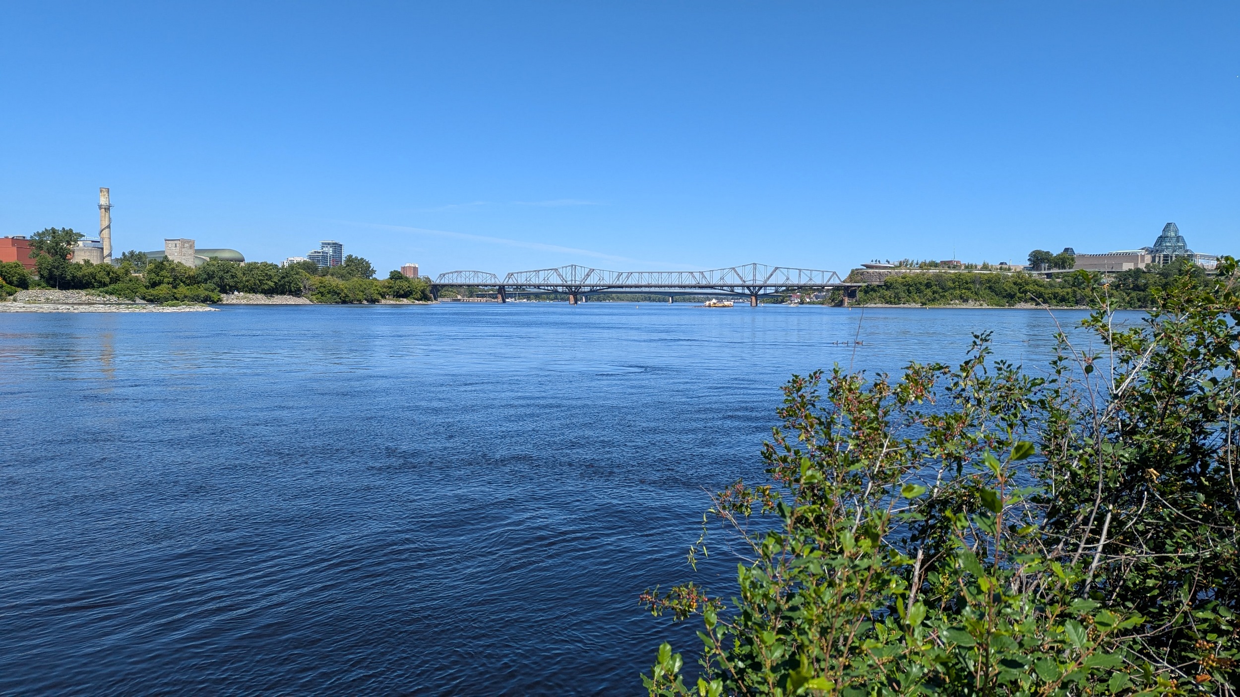
Crossing back over into Ontario. The hydroelectric facilities on the Quebec side seem to be undergoing restoration, and the whole area is still being reshaped. But I get a window to what’s next.

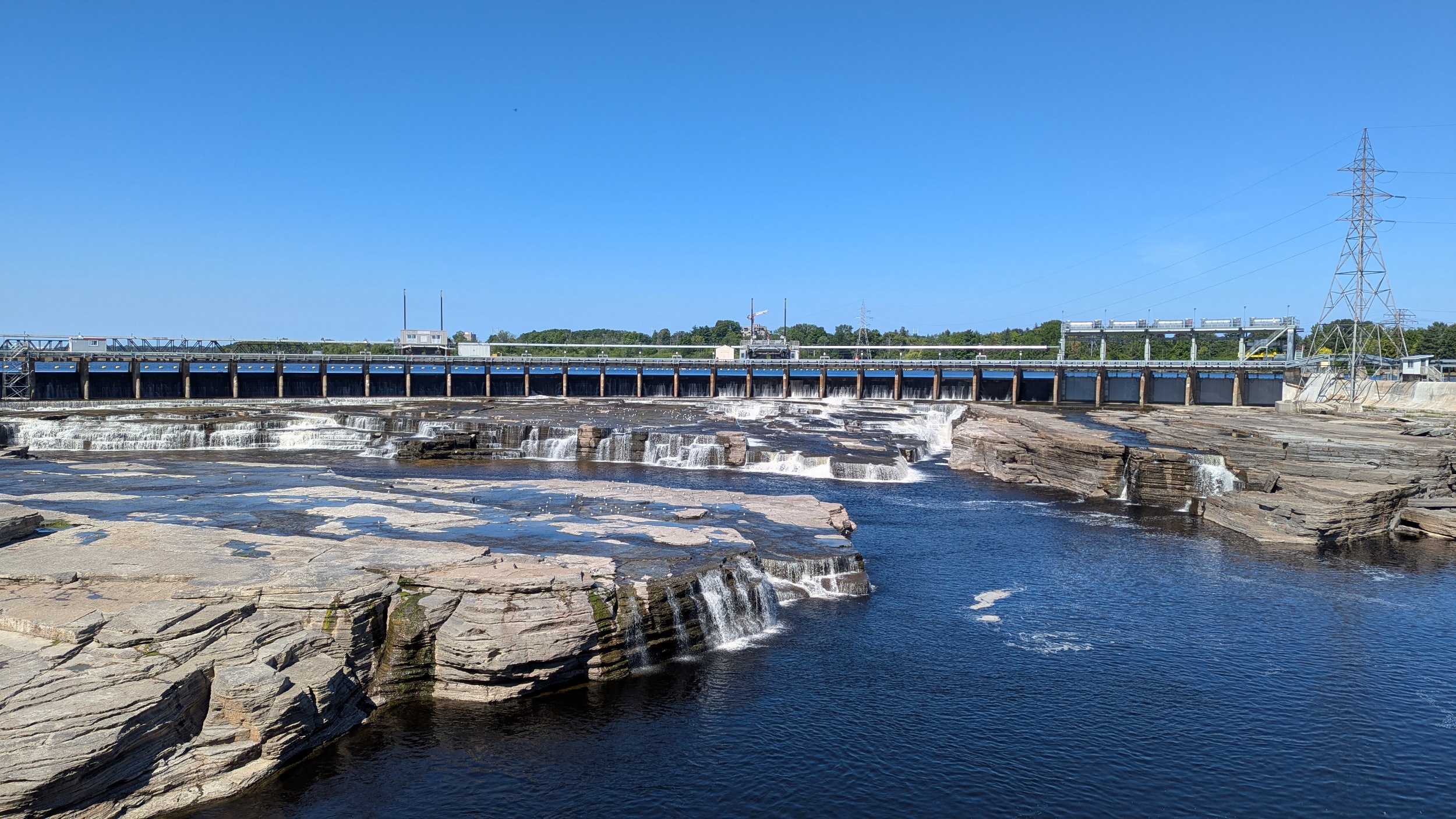
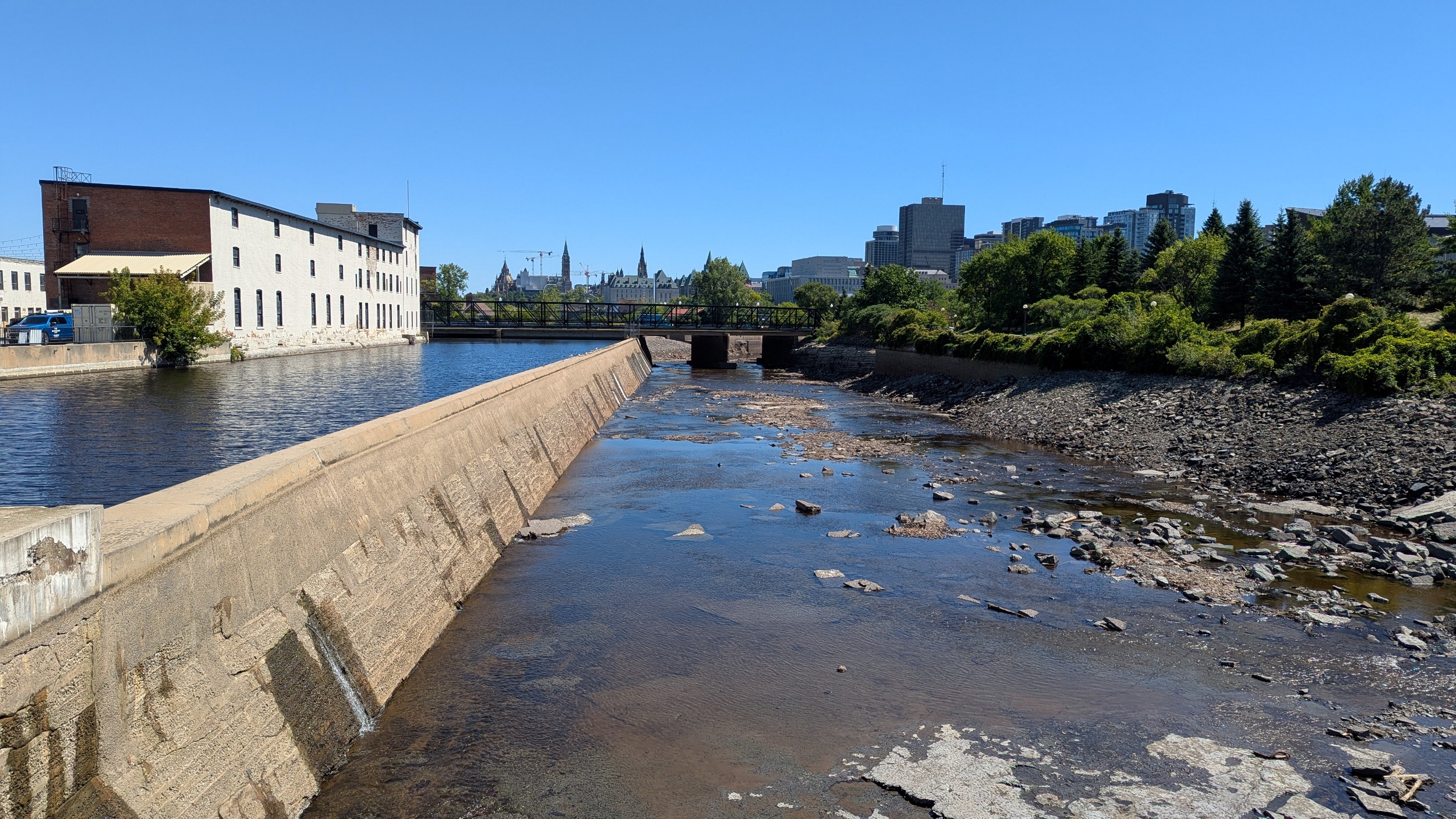
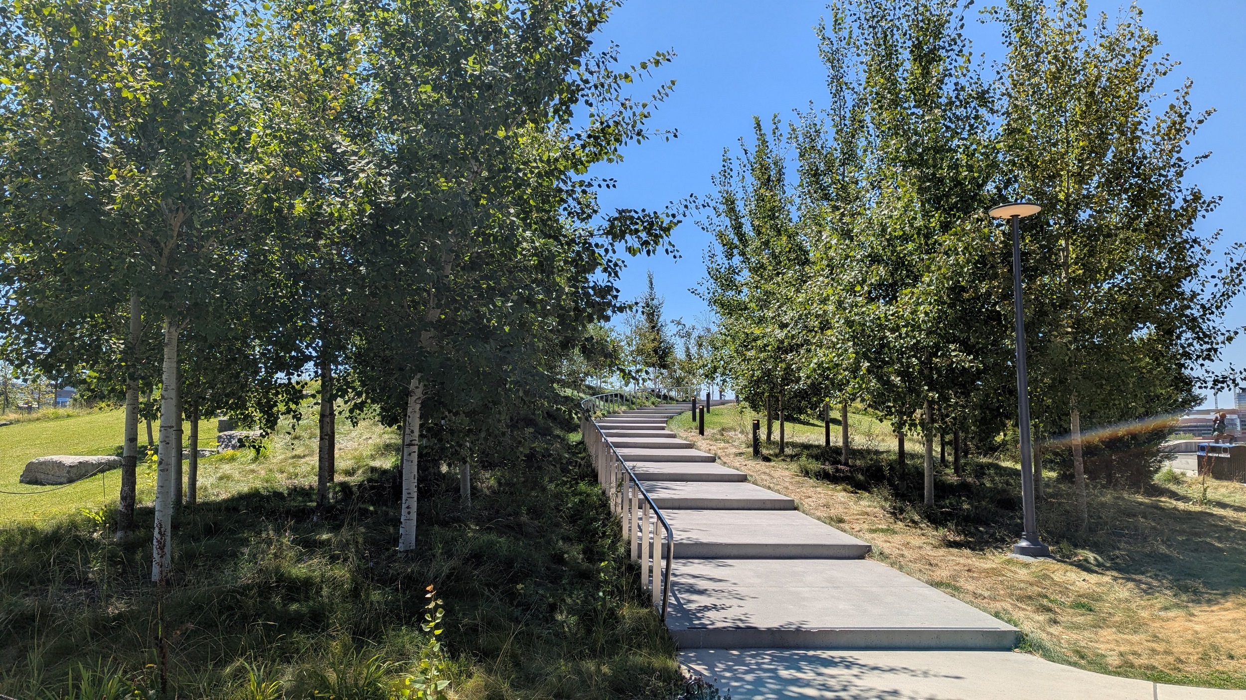
Chaudiere Falls, a beautiful outflow from a hydroelectric control dam arcing across a central portion of the Ottawa River. The public park they established here 8 years ago to give the public a closer view of the falls is amazing and awesome.
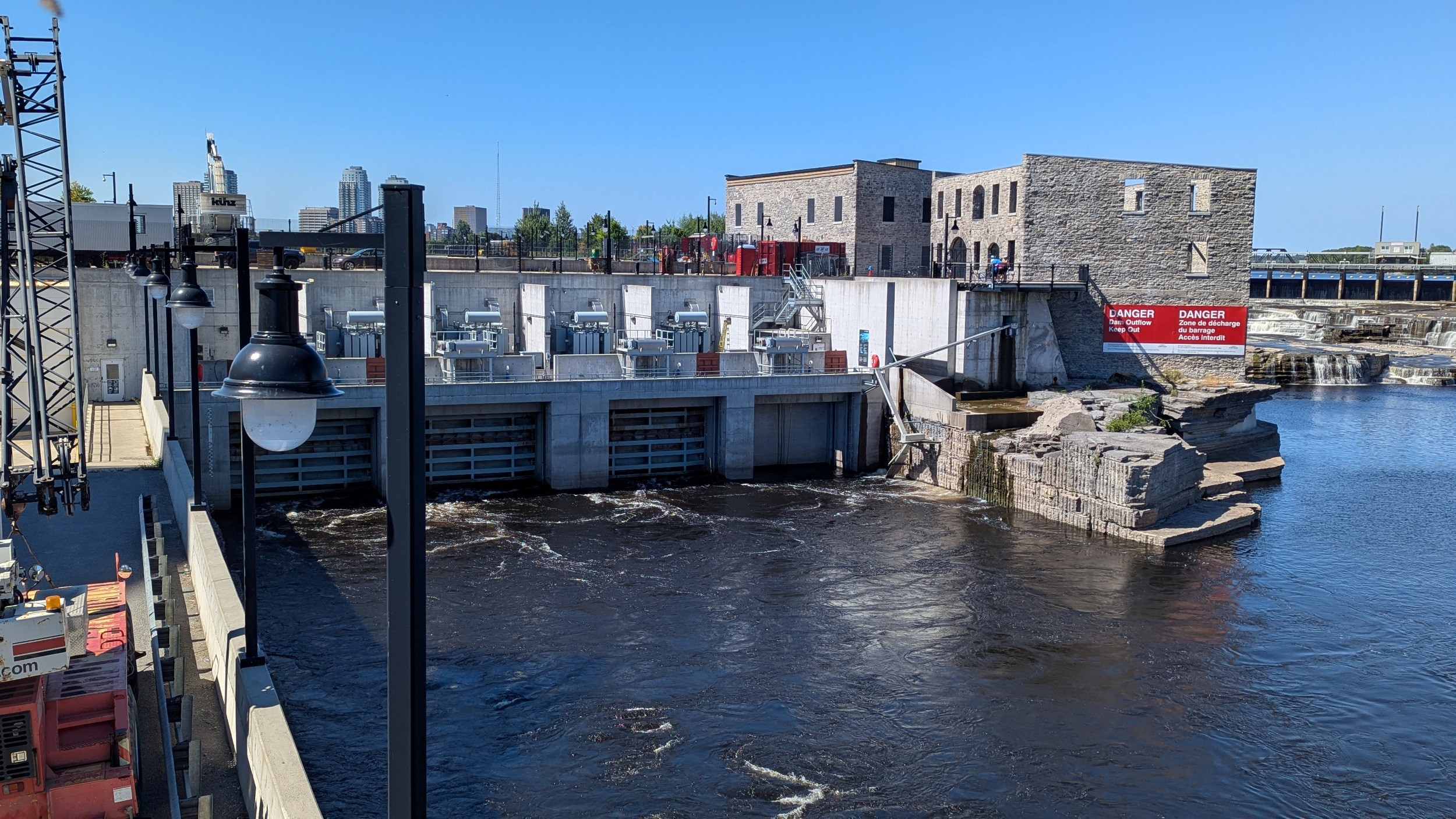


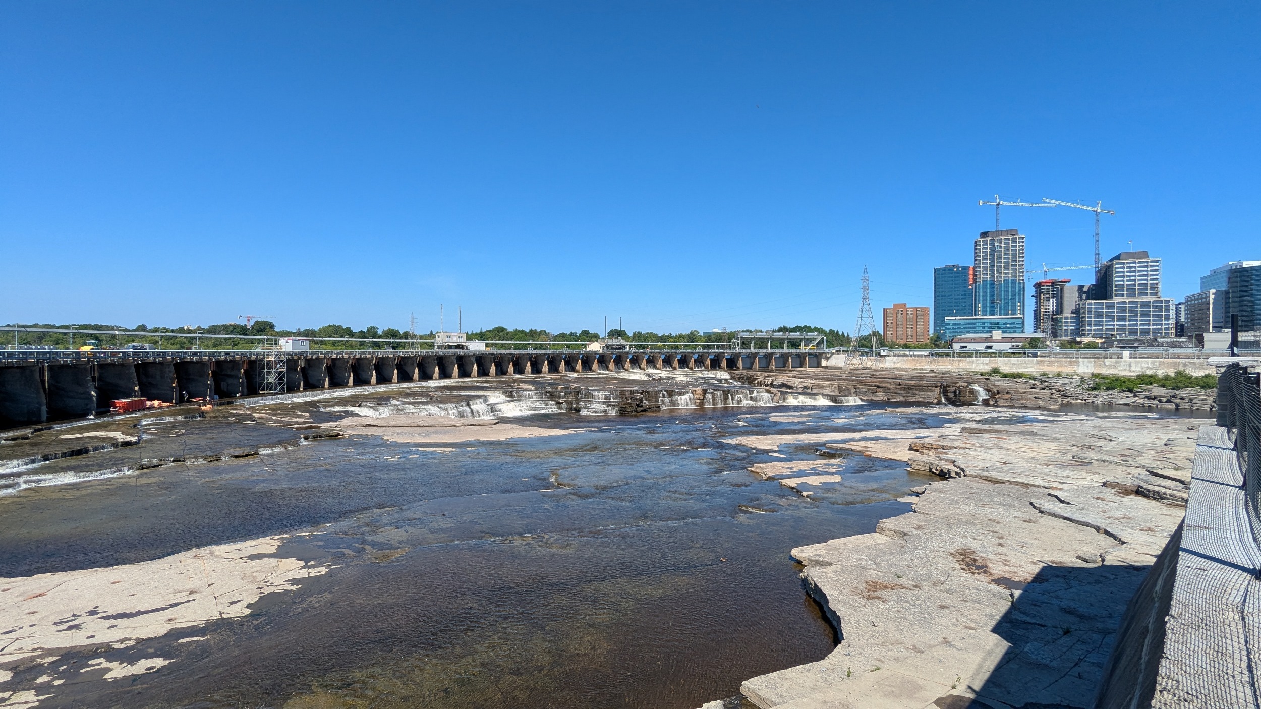
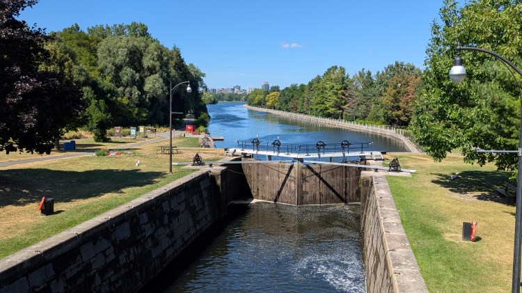
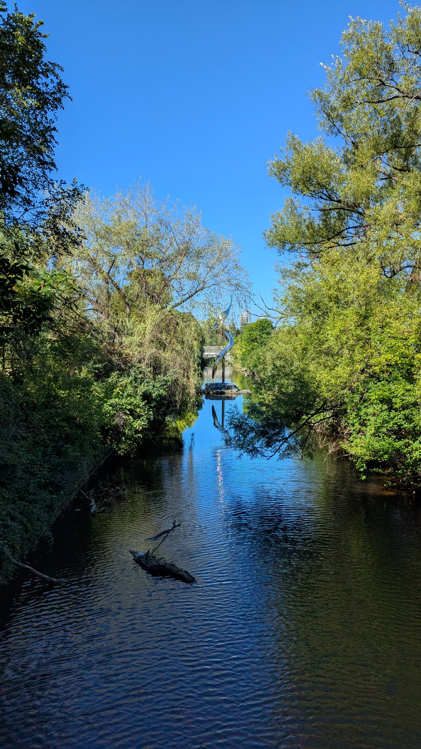
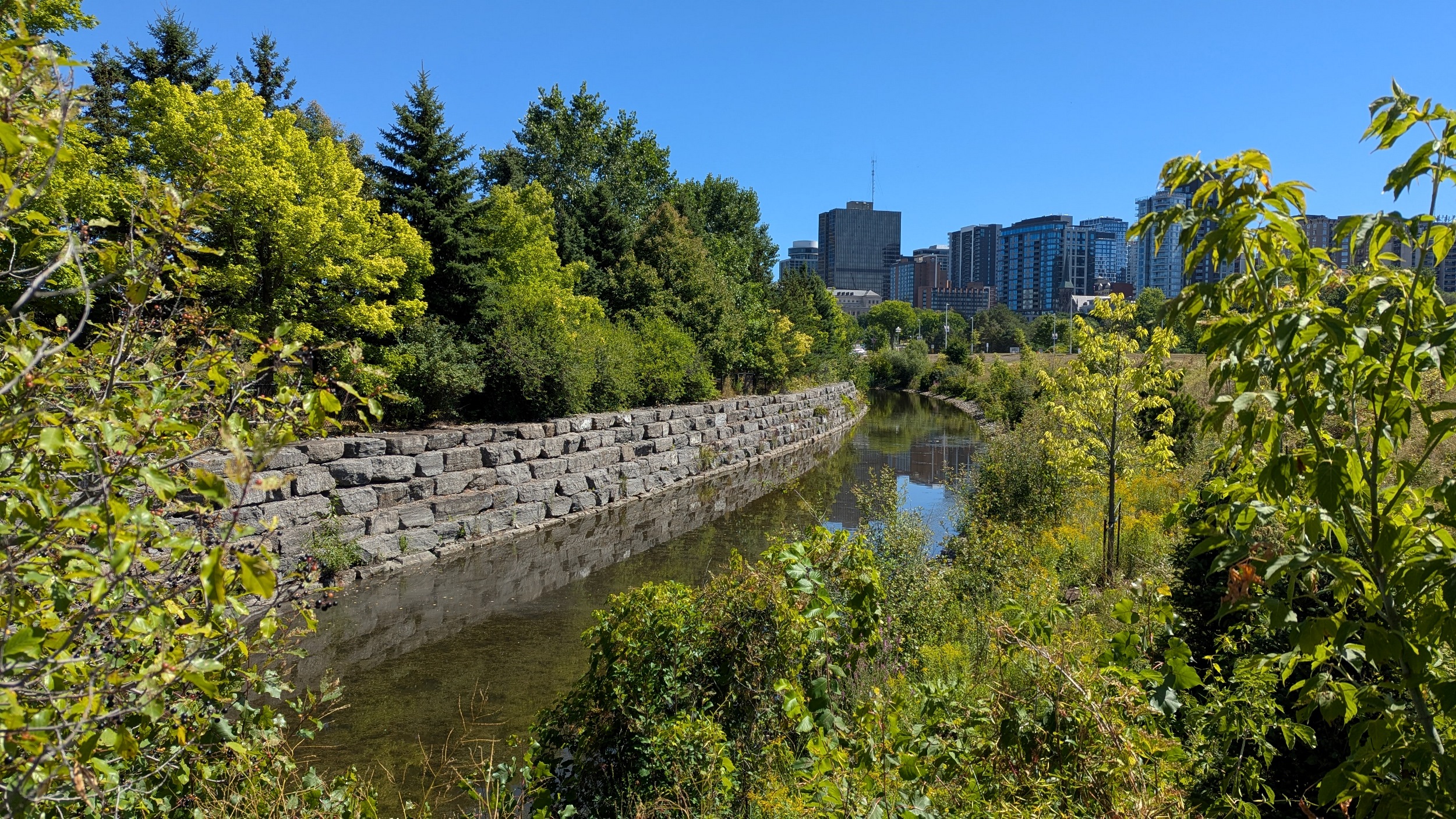
Round the outer west tip of Pangishimo Park, and then east again along three main channels: Buchanan, Bronson and OHEC. These are all now hydroelectric intakes, but used to also be for mill power and sliding timber. Bronson has been drained for dam / plant rehabilitation.
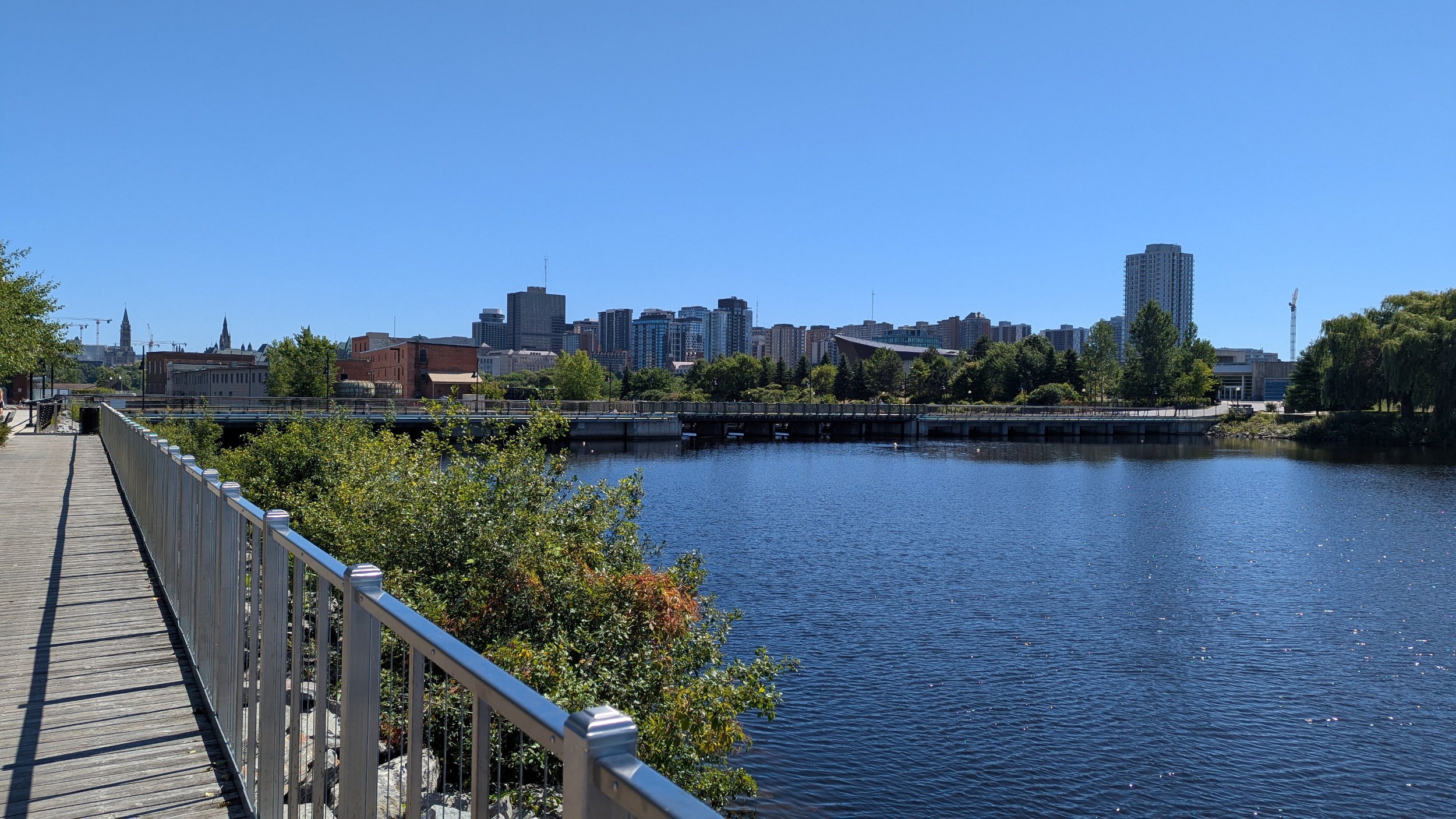

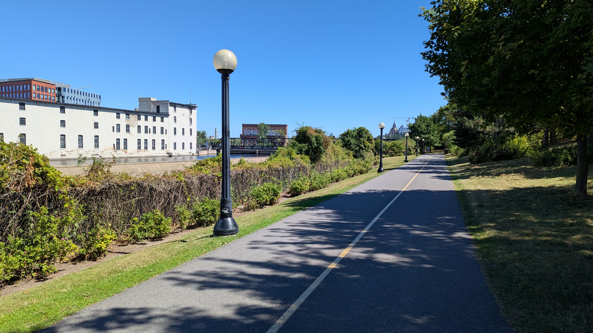


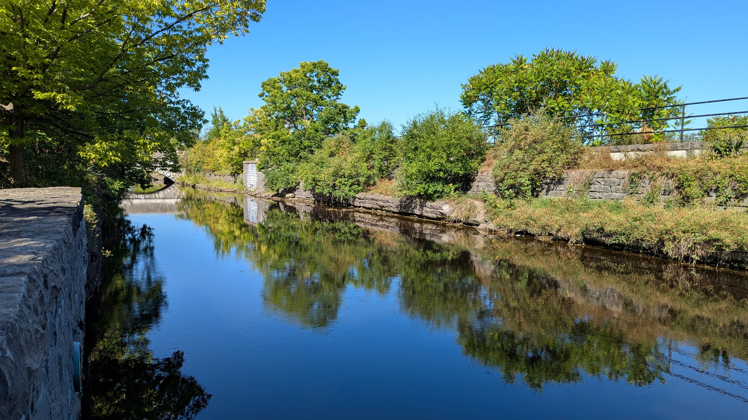
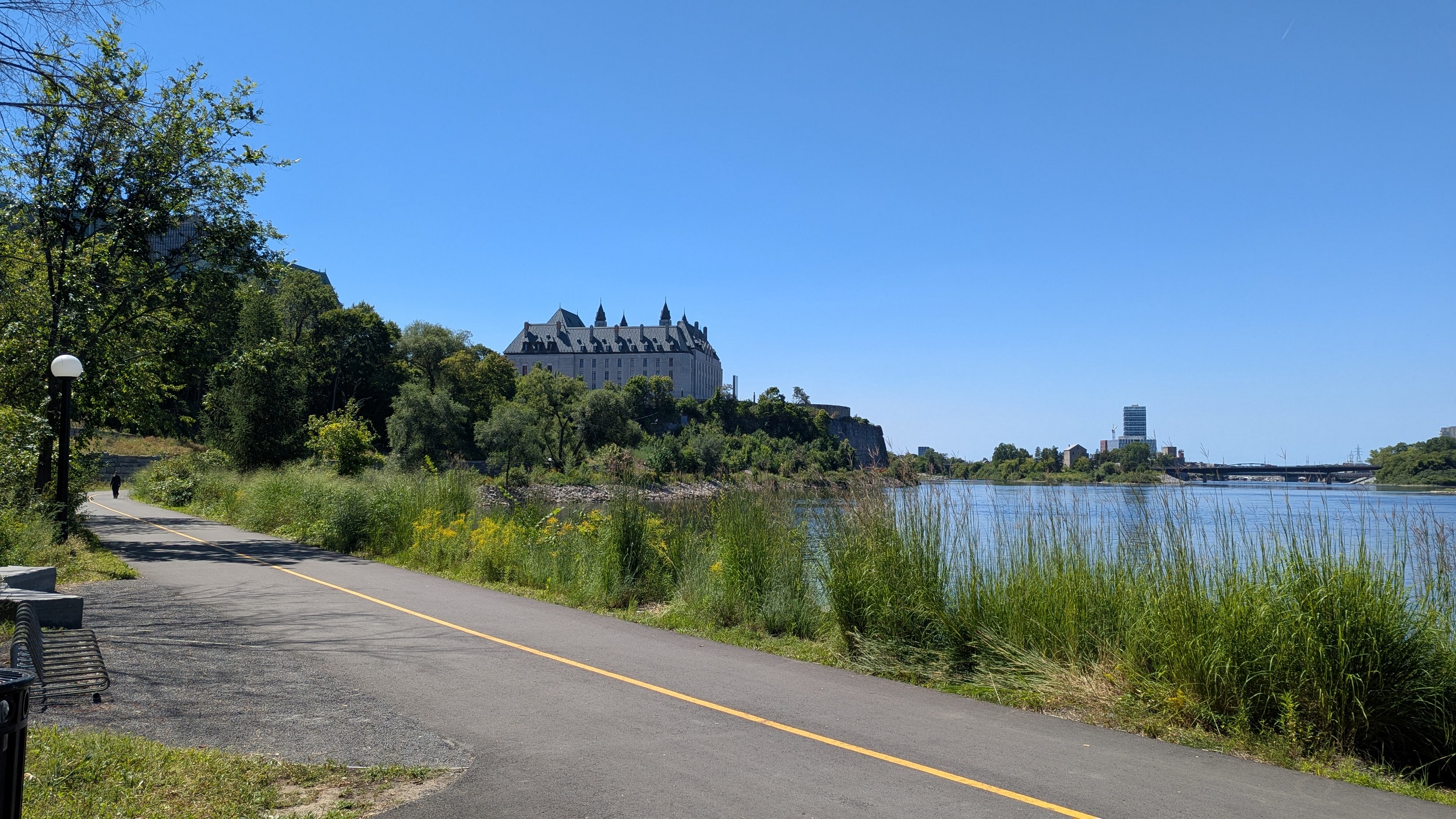
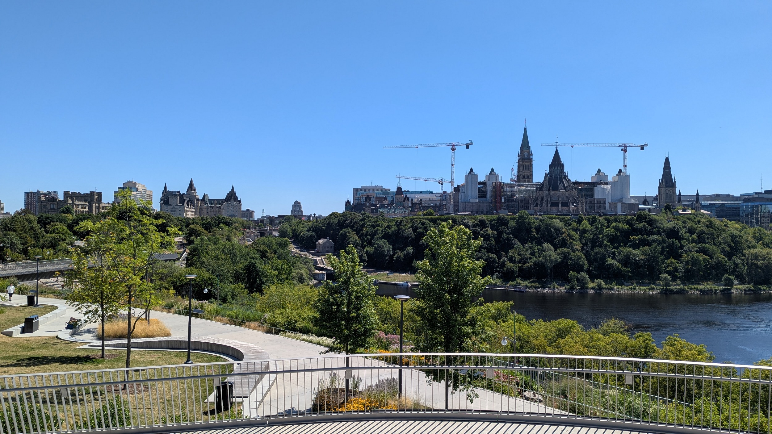
Under Wellington Street to my favourite view of Parliament Hill at Richmond Landing. This point is flanked by outflows from Bronson, as well as the Fleet Street Pumping Station seen at the beginning of the walk. Then it’s back up to street level due to construction.

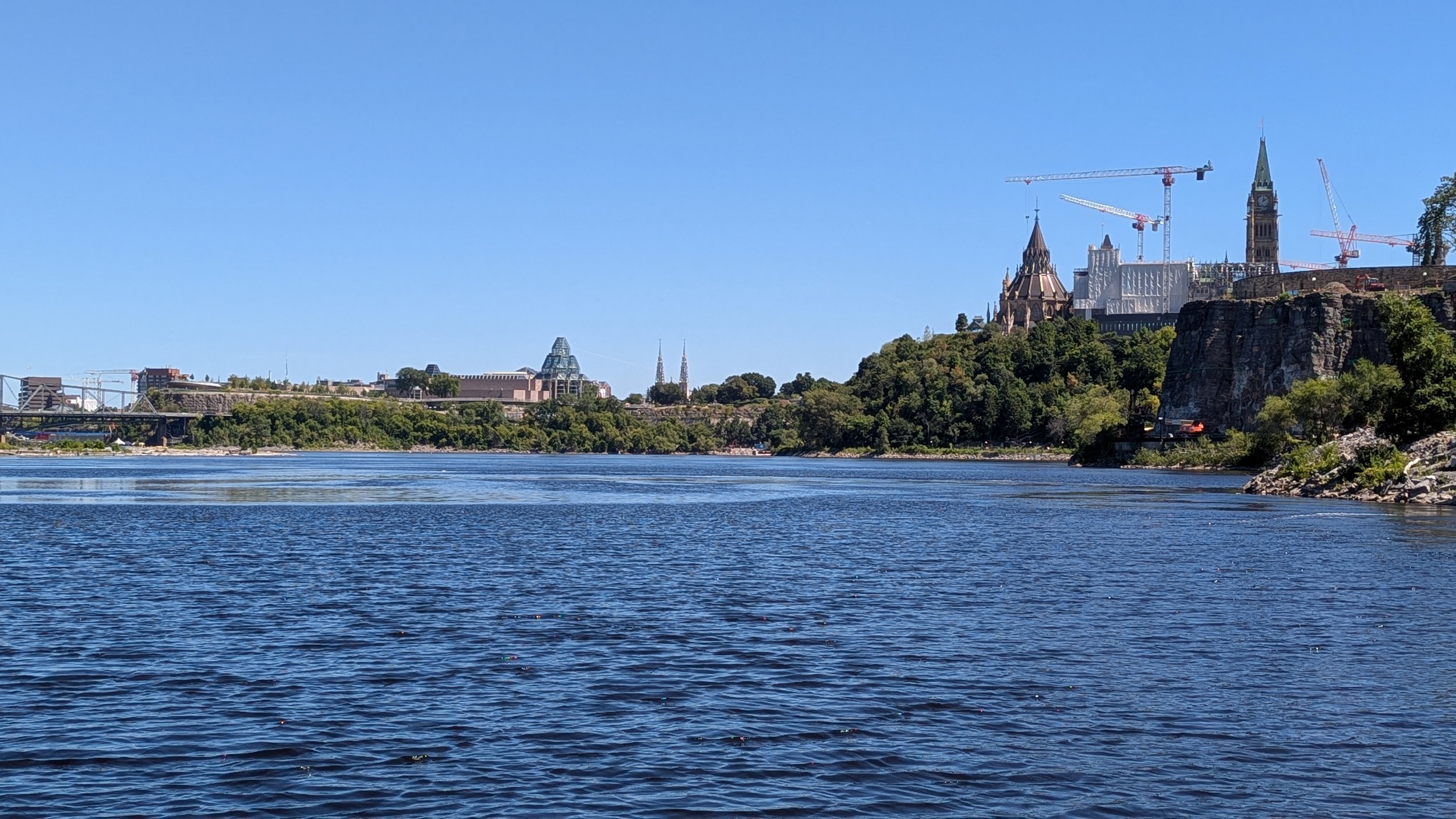


After going around the back of the Supreme Court of Canada, steps and back lots lead you to the river path again. Parliament is coming into close distance, as is the Alexandra Bridge.

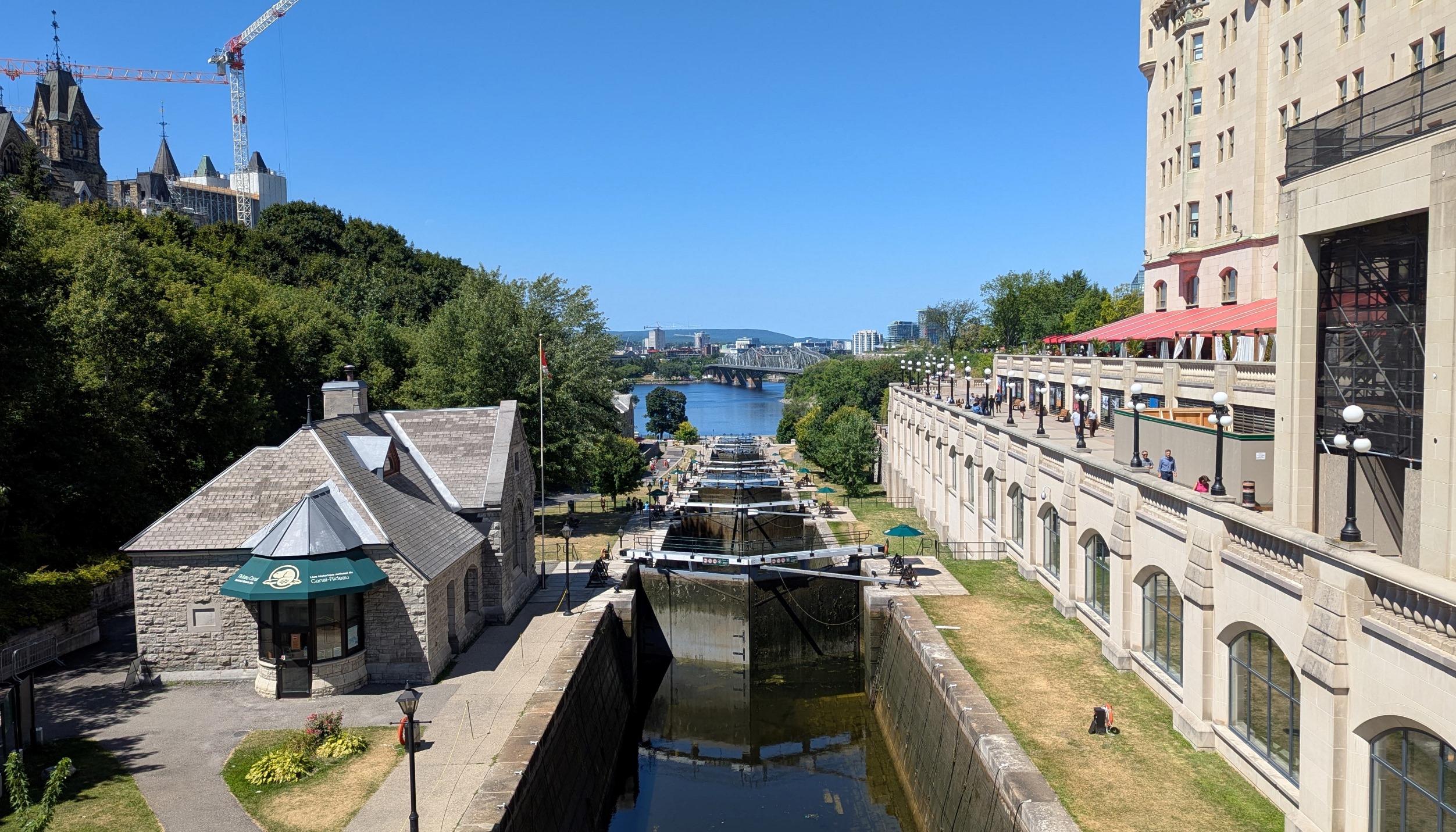
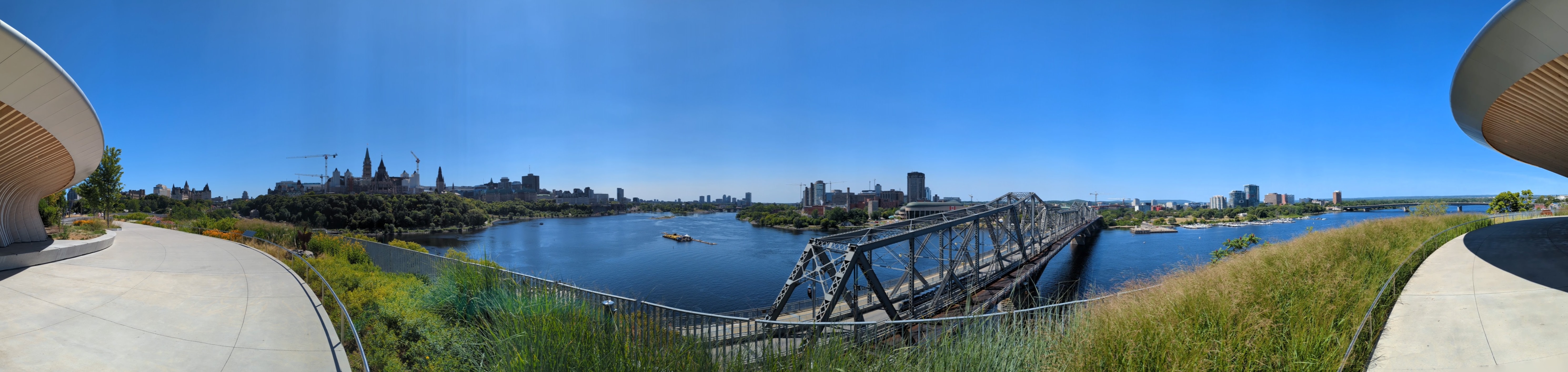
Around the back of Parliament and to where I ended yesterday’s walk at the bottom of the Rideau Canal. Another spot of trail construction means going up and over at Wellington, and into Major’s Hill Park, and onto Pìdàban Pedestrian Bridge. Not only is it notable in Ottawa’s portfolio of lookout points, but it’s also one of the biggest improvements to pedestrian and cyclist safety in the area. No more darting between traffic to and from the Alexandra Bridge.


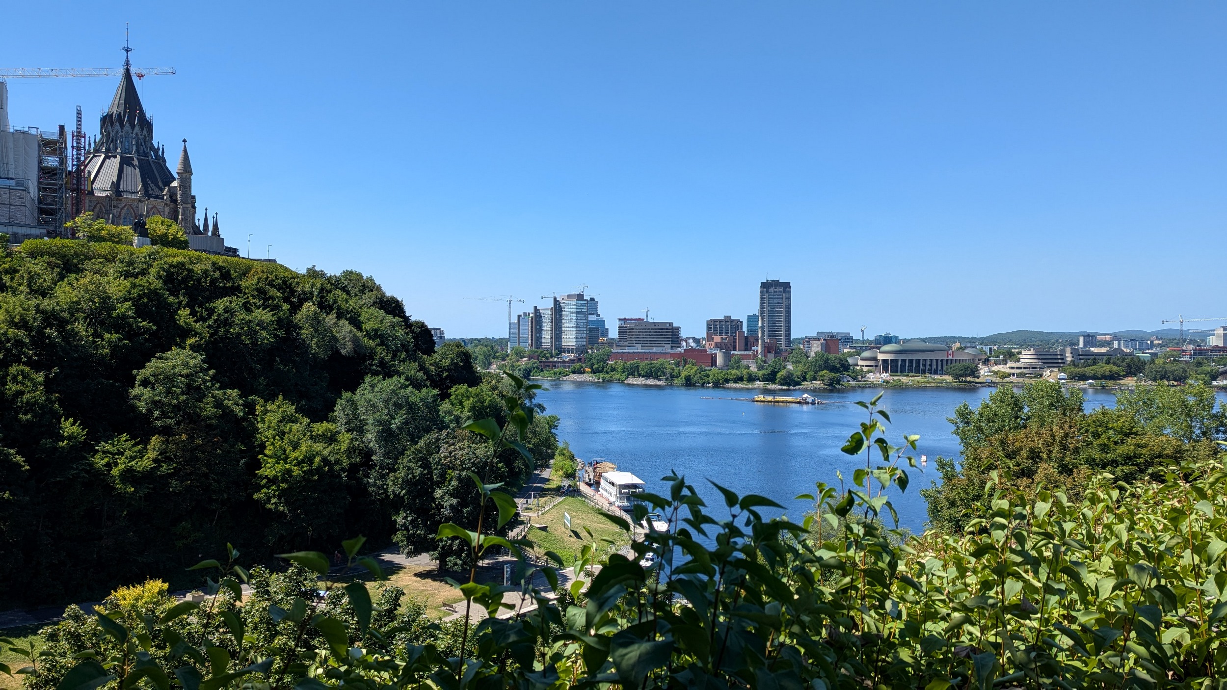


Up to Kìwekì Point (formerly Nepean Point). The view from up here is absolutely breathtaking. I can now also see that rehabilitation of Lady Grey Drive is not complete, so I’ll end my walk here. Thanks for joining.


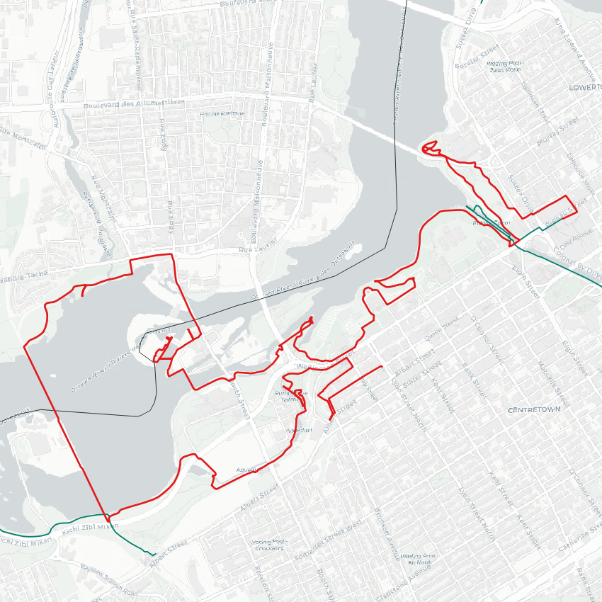
Date: August 15, 2025
Length: 13.9 km
Type: Riverine