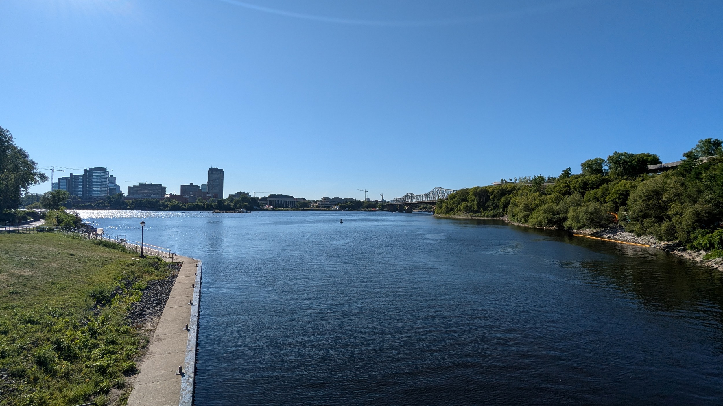
Good morning from Green Island, east of downtown Ottawa. Today I’ll be following the two Rideaus; starting with the Rideau River where it falls into the Ottawa River, and then going upstream to the Rideau Canal to follow that downstream. Let’s go.


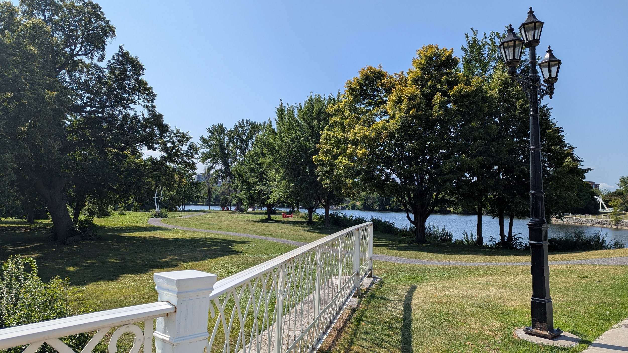
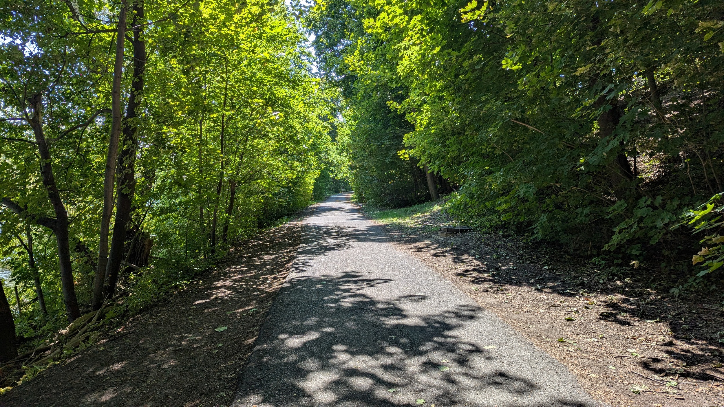
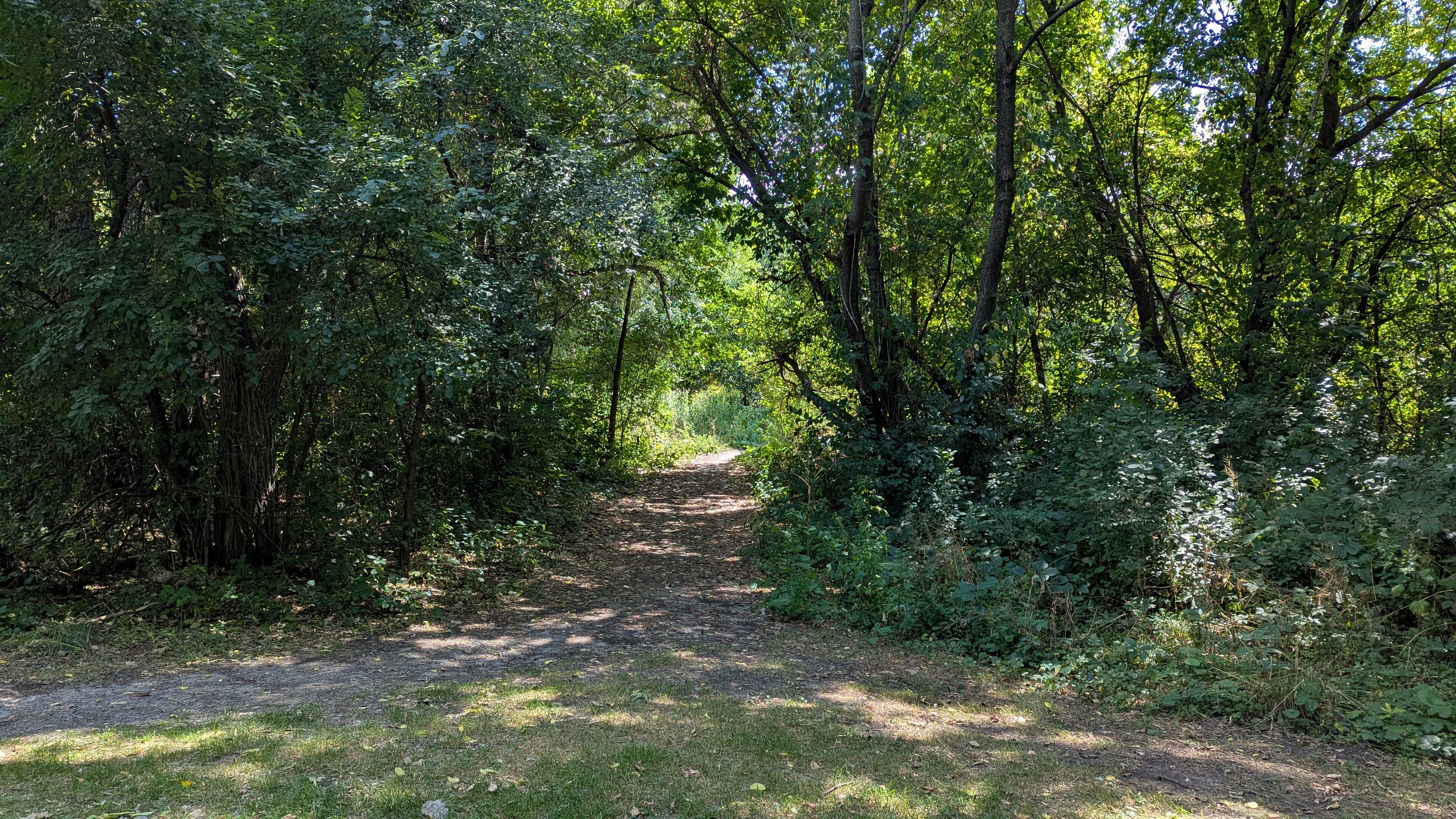
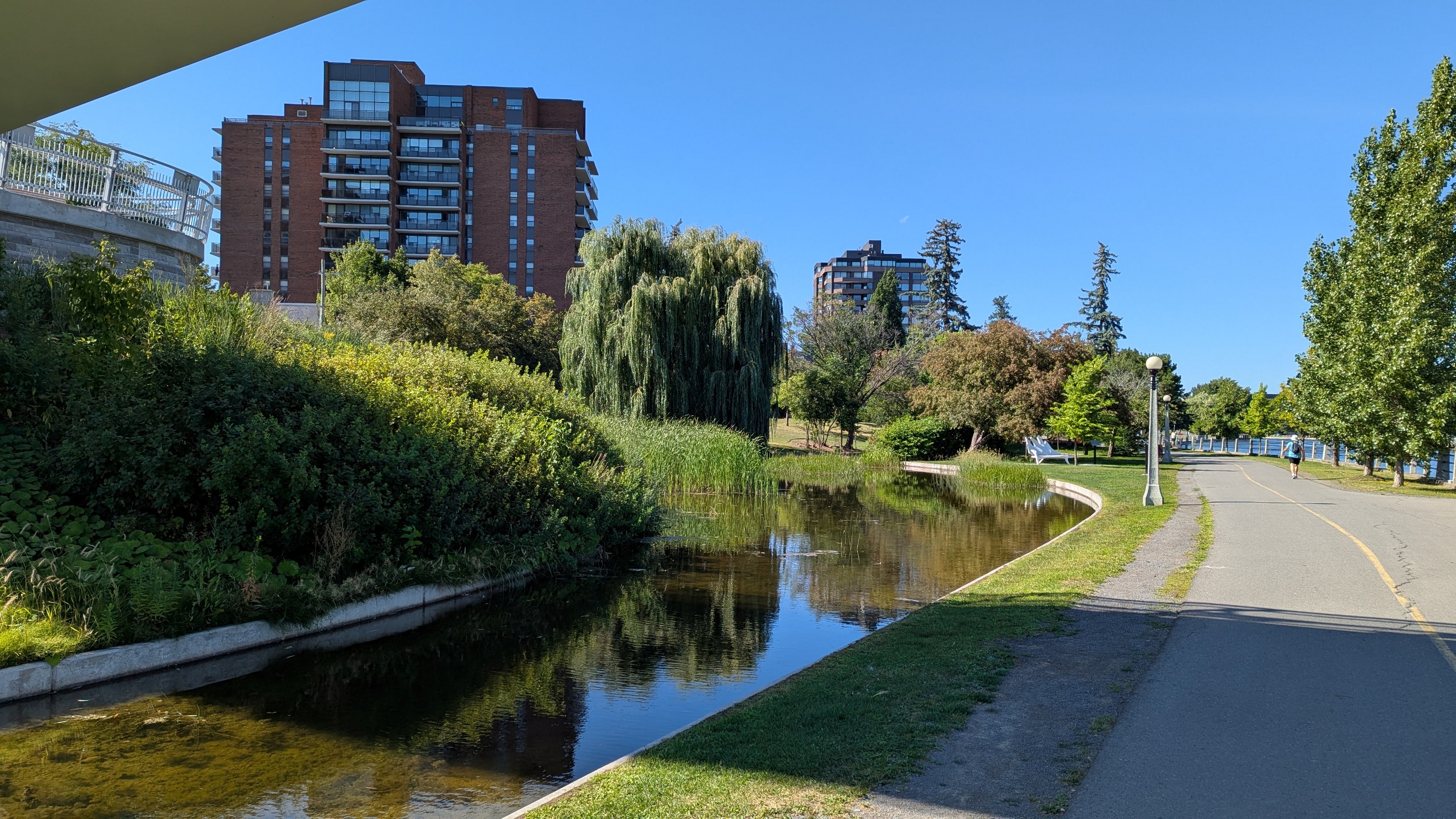
Loving the walk so far. Lots of mature trees line the trail along the Rideau River’s east bank. Plenty of viewpoints and benches and parkland adjacent.


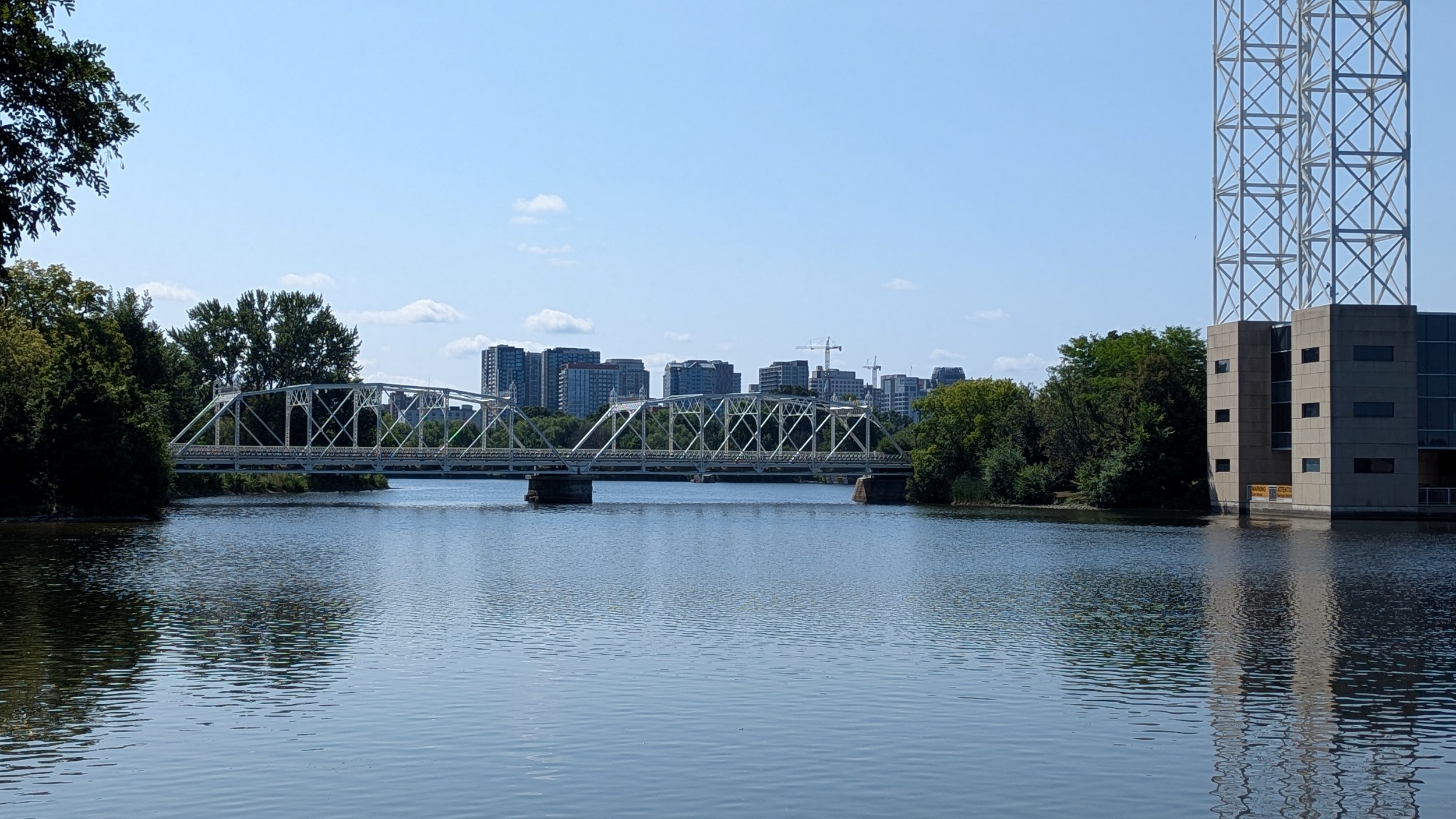


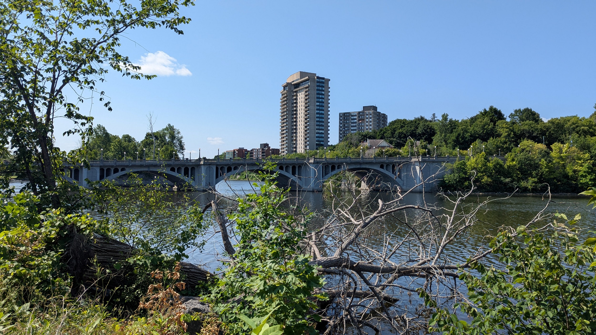
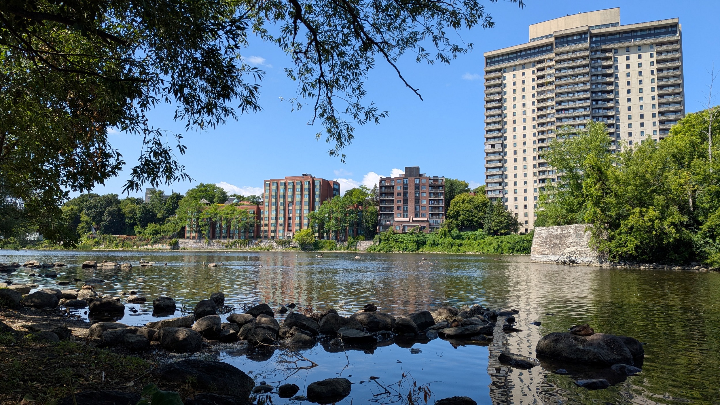
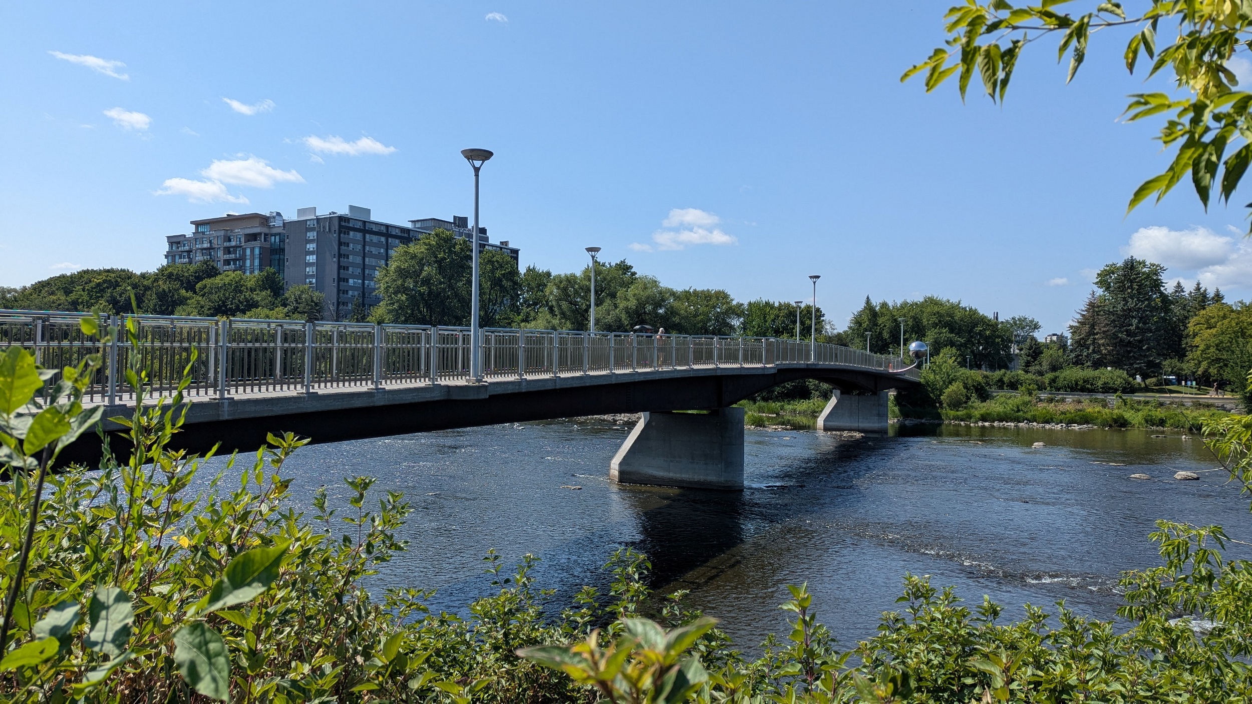
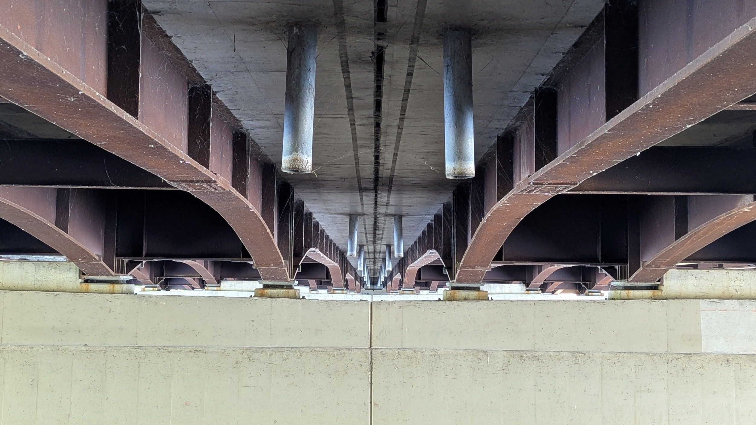
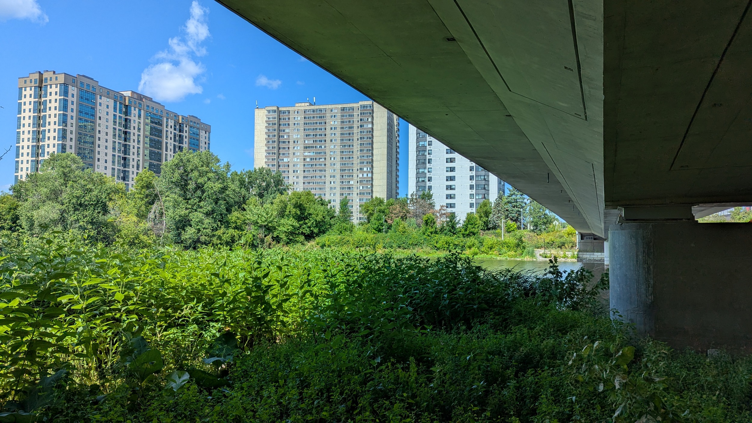
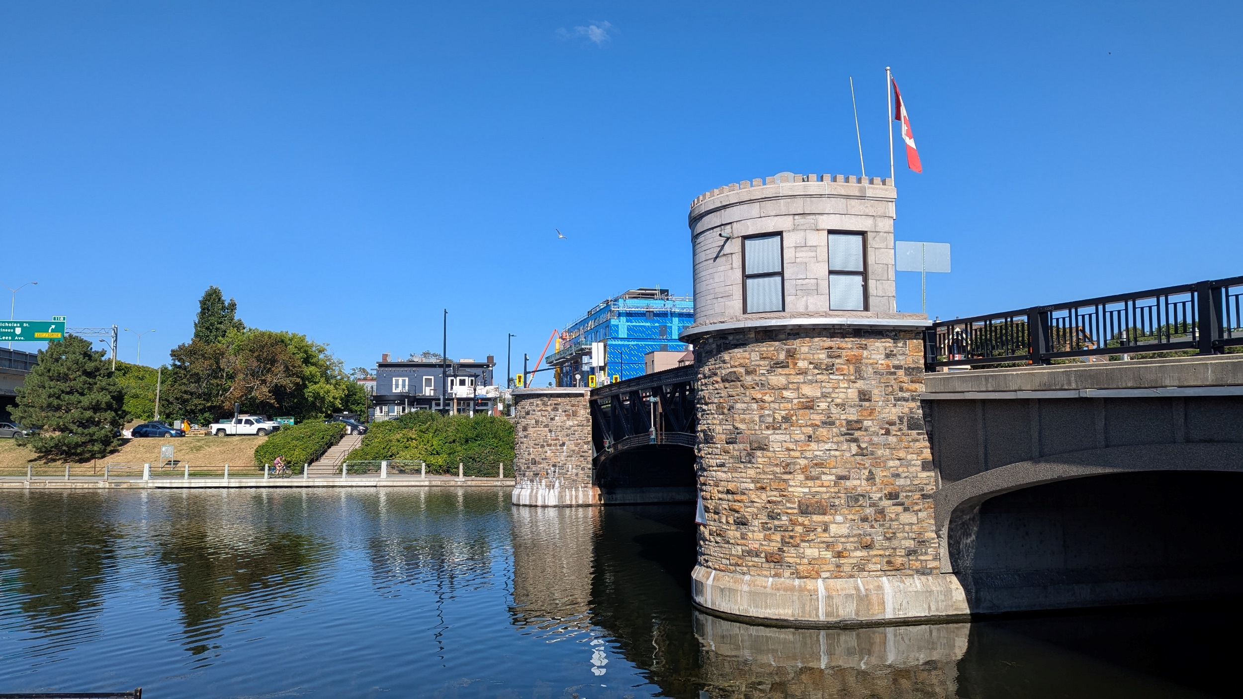
After a large detour at the St Patrick Street Bridge, it’s back to shady trails. The number of islands, riverside viewpoints and mid-/high-density housing buildings continues to impress me. Also appreciating the bridge character.

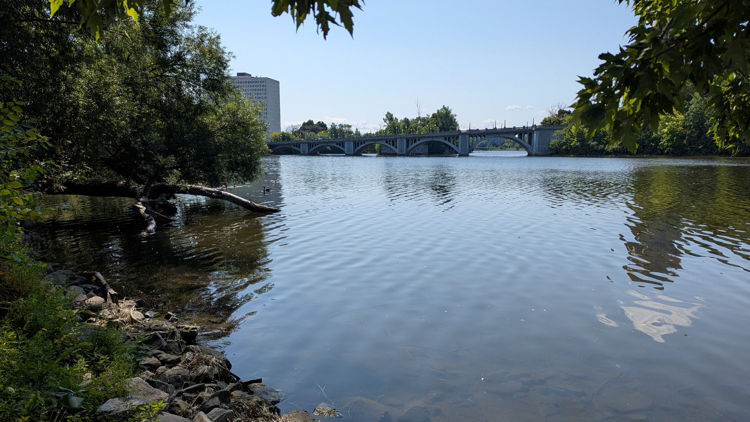

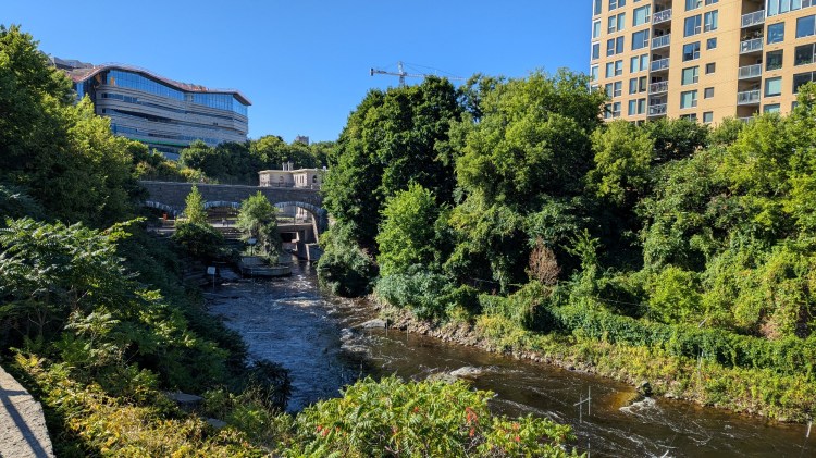
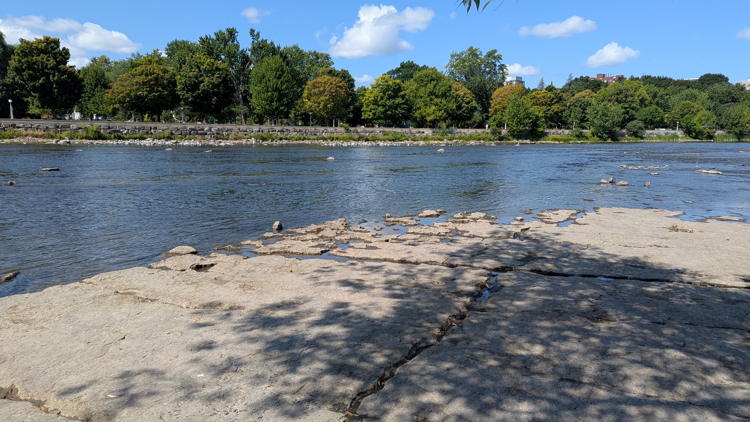
Oh my, Rideau, your geology is showing. The bedrock here at the Adàwe Crossing Bridge makes the river look like it’s flowing over a weir. But it’s a natural shallowing and rapid section.


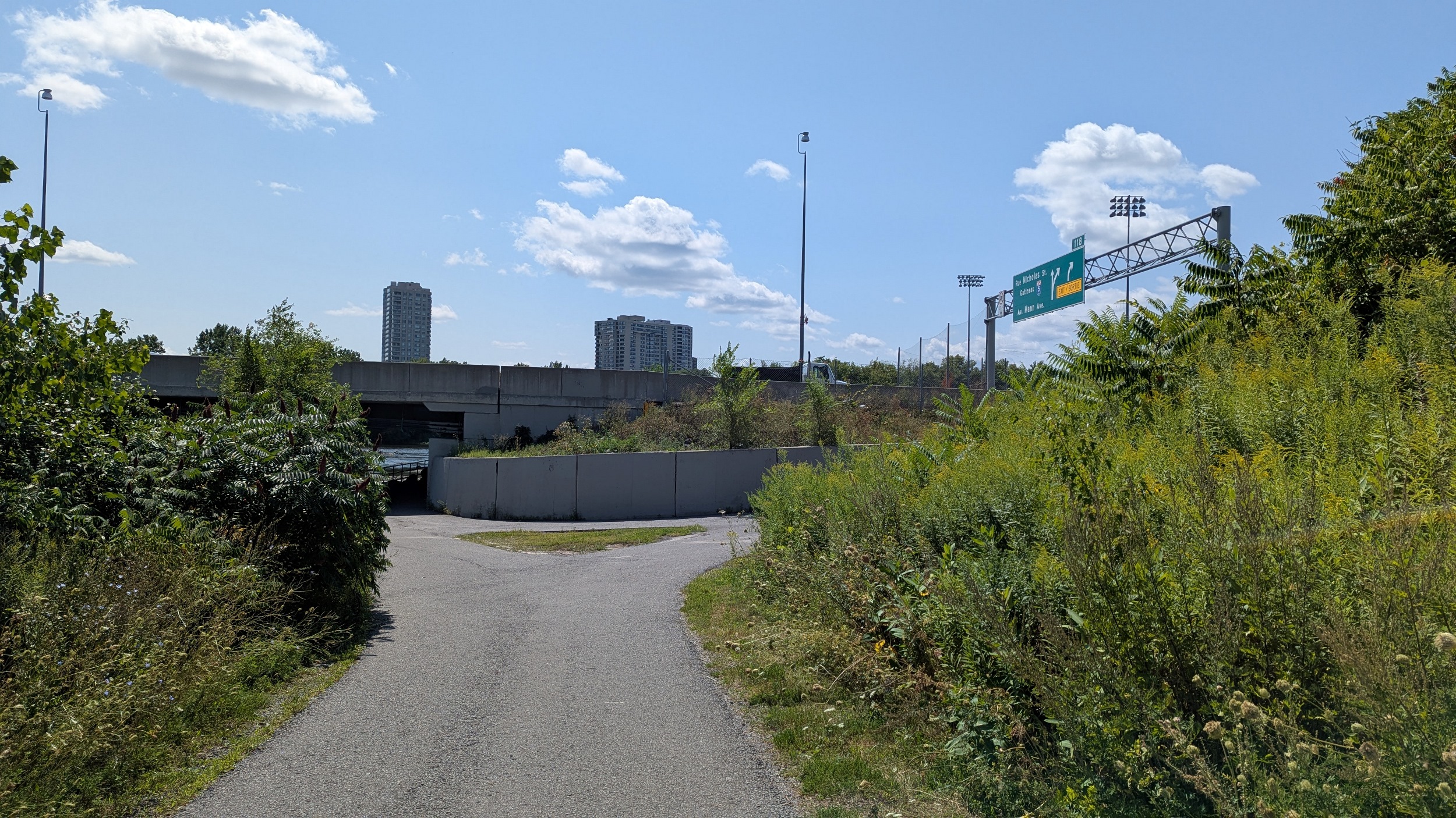
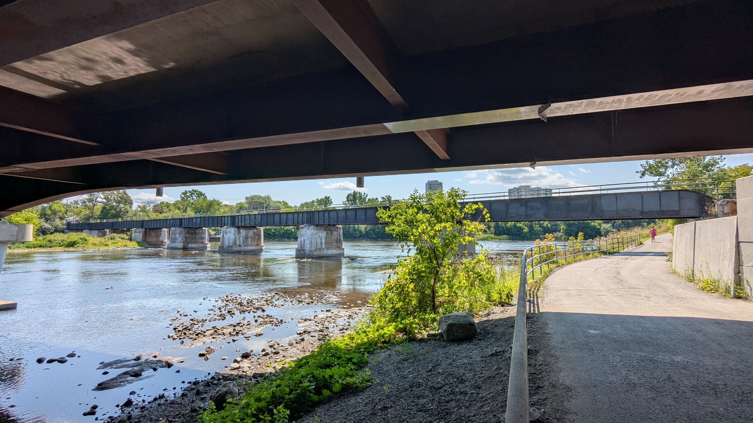
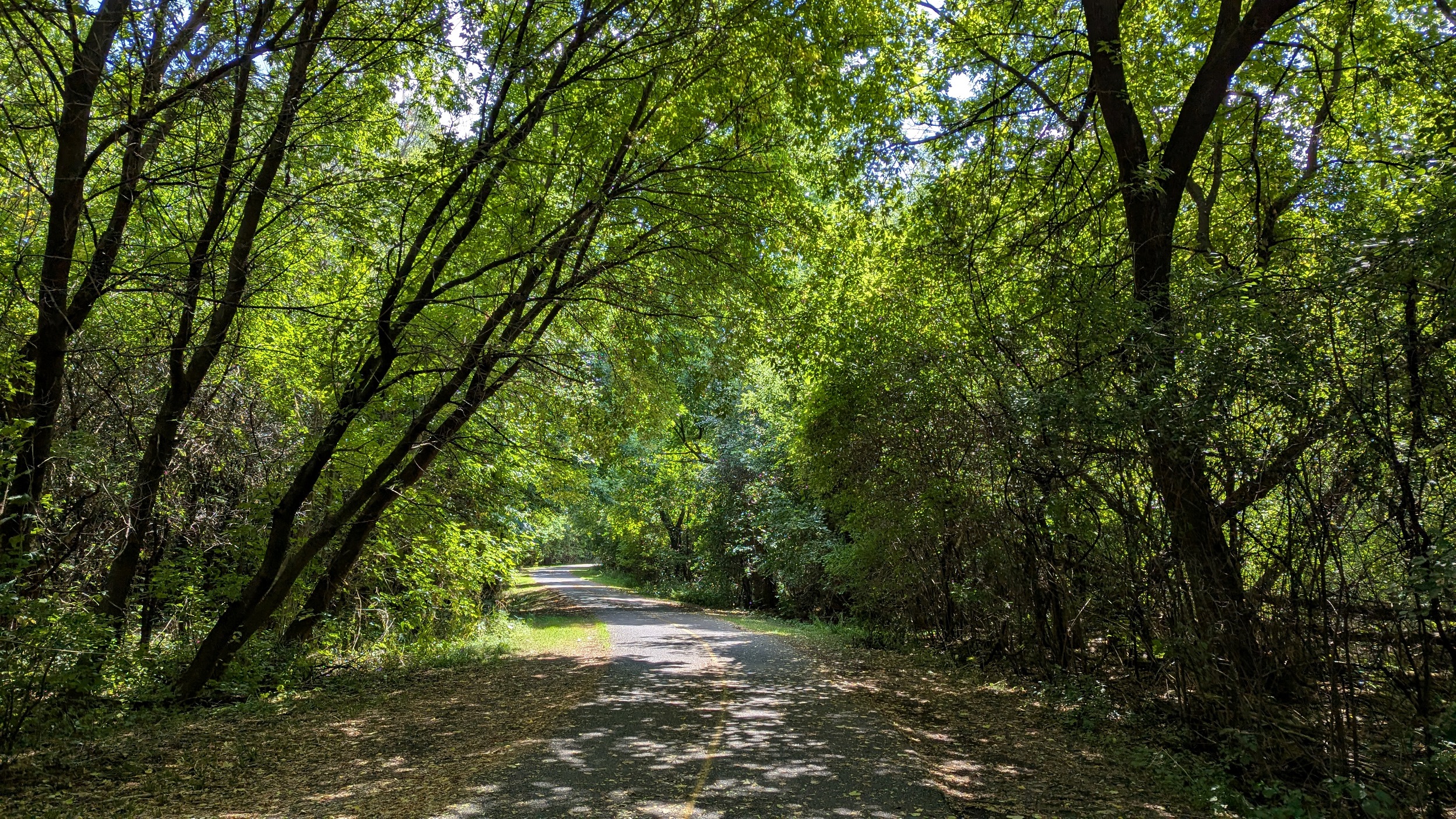
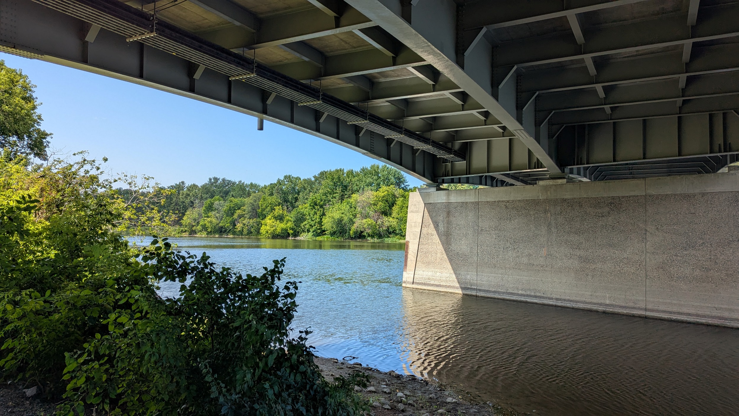
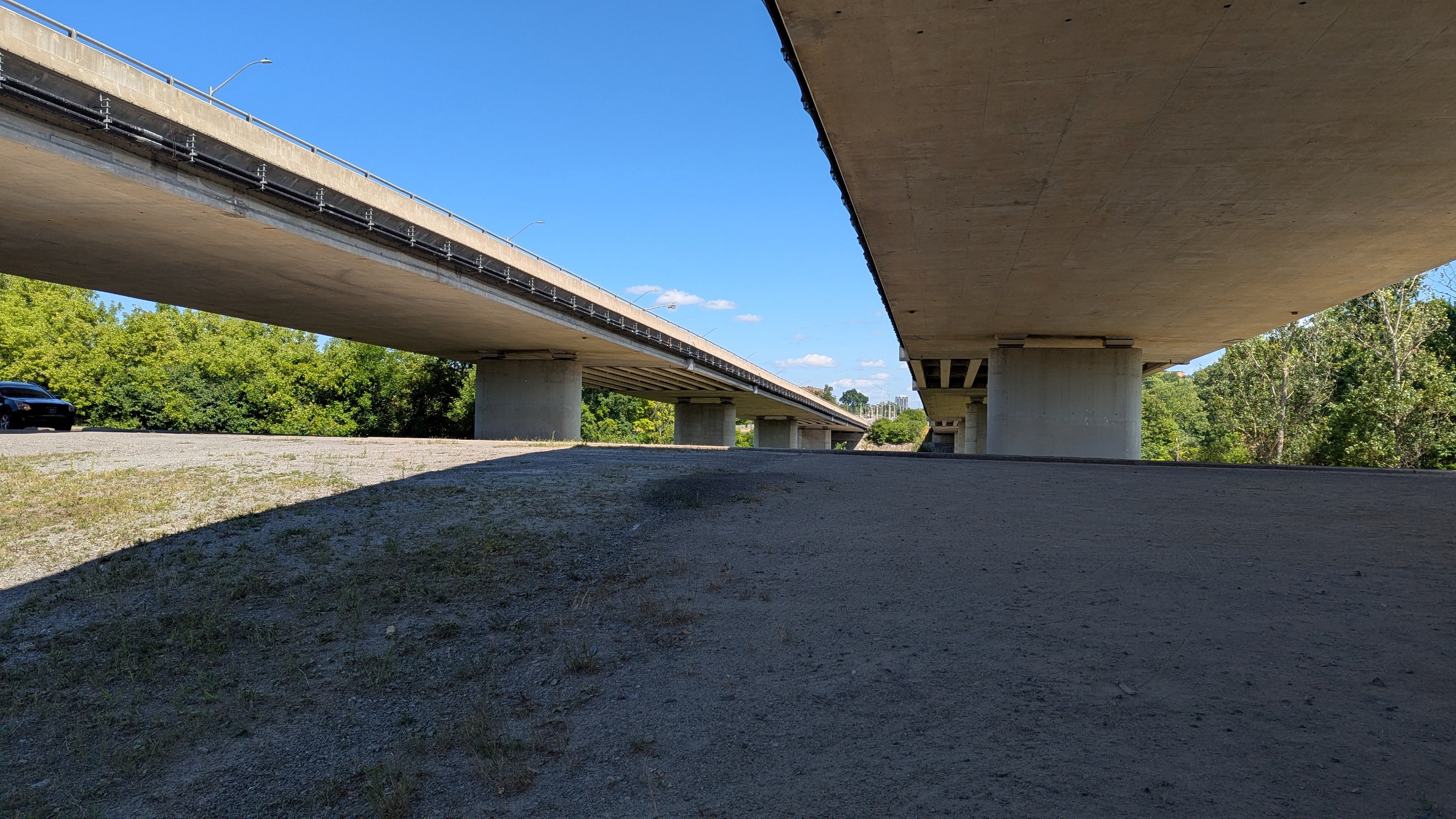
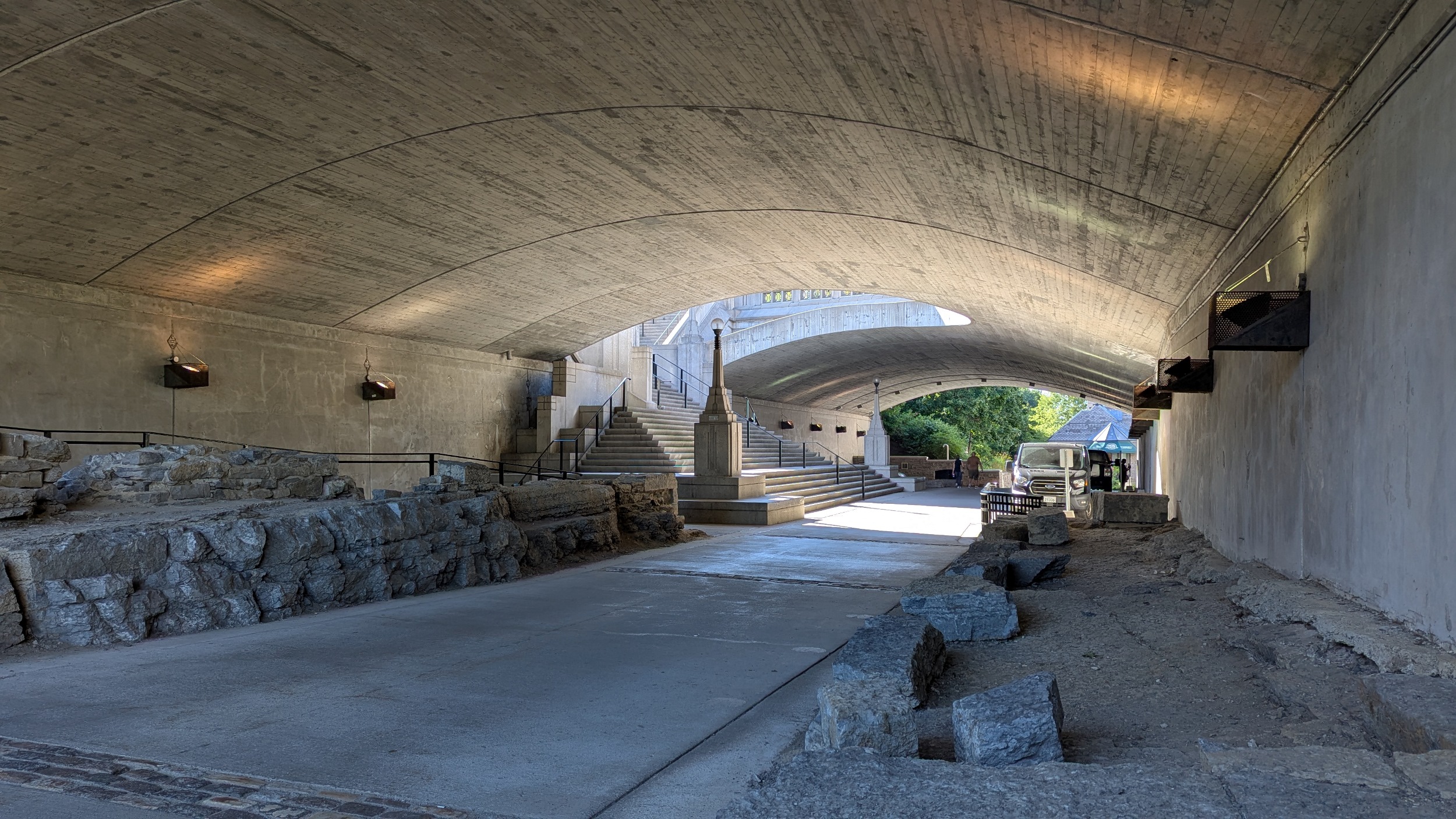
Hopping over to the west bank for a bit. More high quality trail brings you to the underside of Highway 417, and immediately south of that, a former rail bridge now used as a pedestrian path. I’m using this to cross back over.


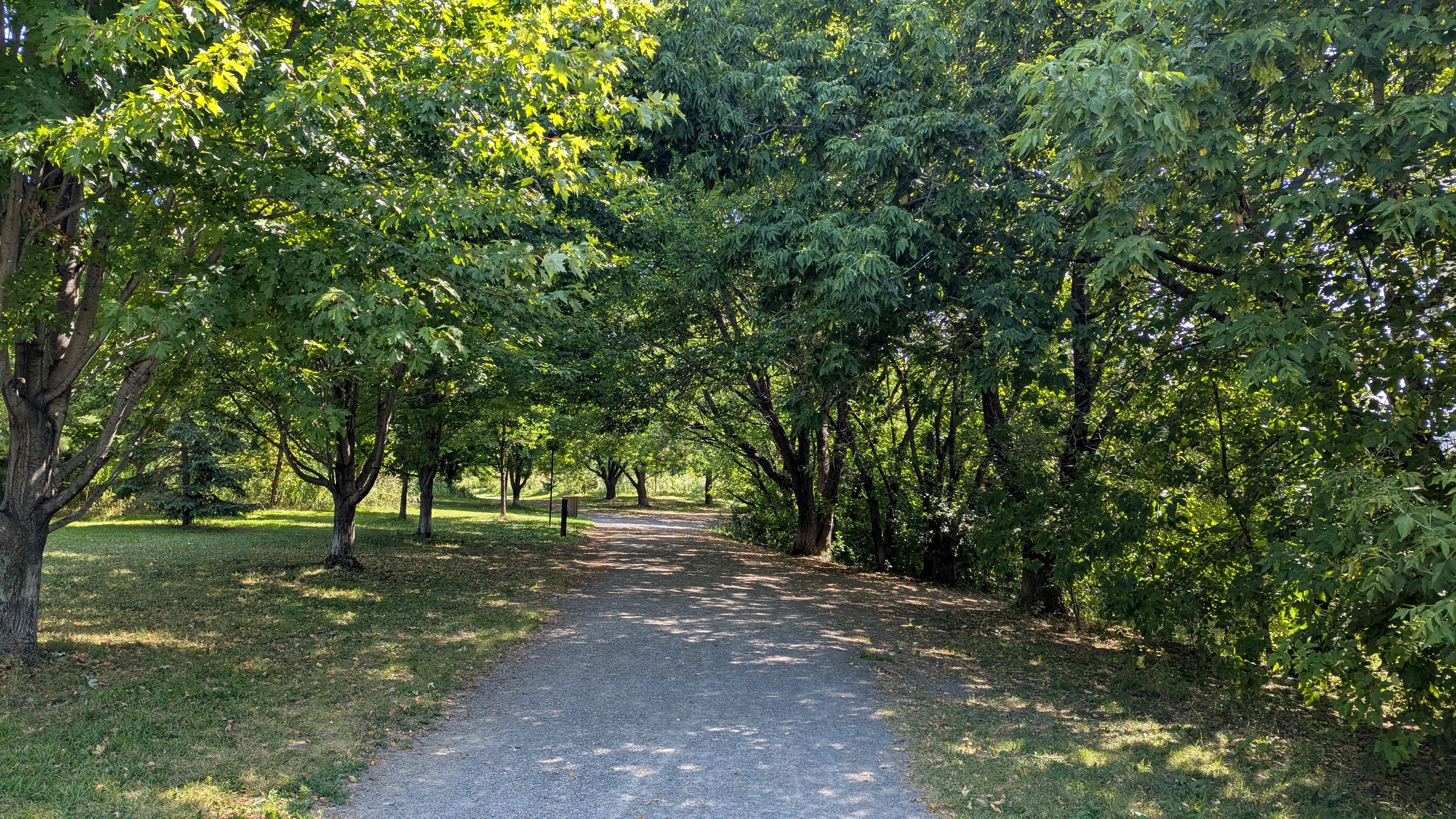
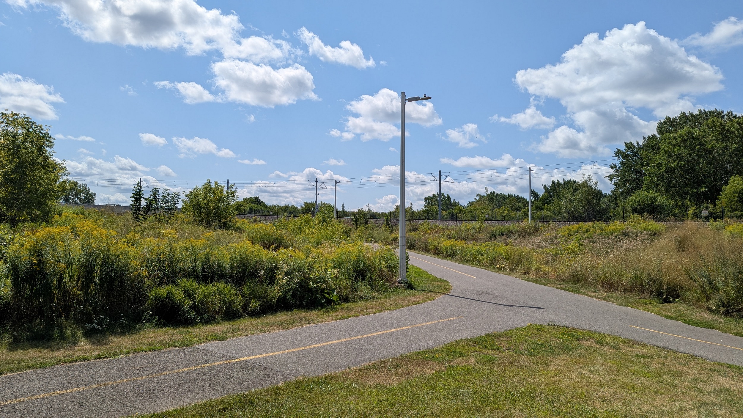
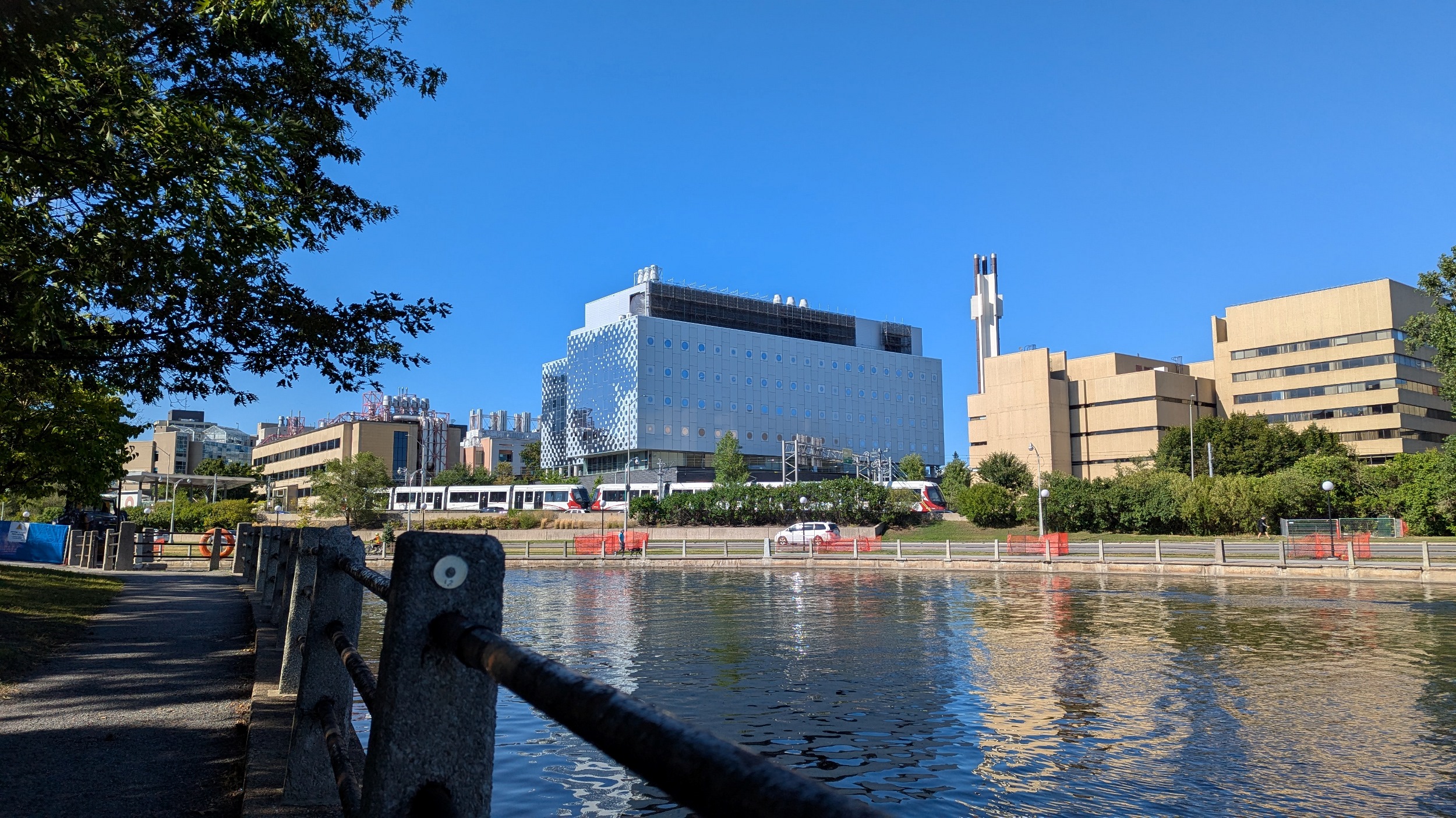
The trail continues, and I’m definitely in a walking minority amongst bikes. Maybe it’s because I’m sticking to the paved path when there’s a number of footpaths. No regrets. Also notable is the fact that there are paved connections to the Hurdman and Tremblay O-Train / Ottawa VIA stations.


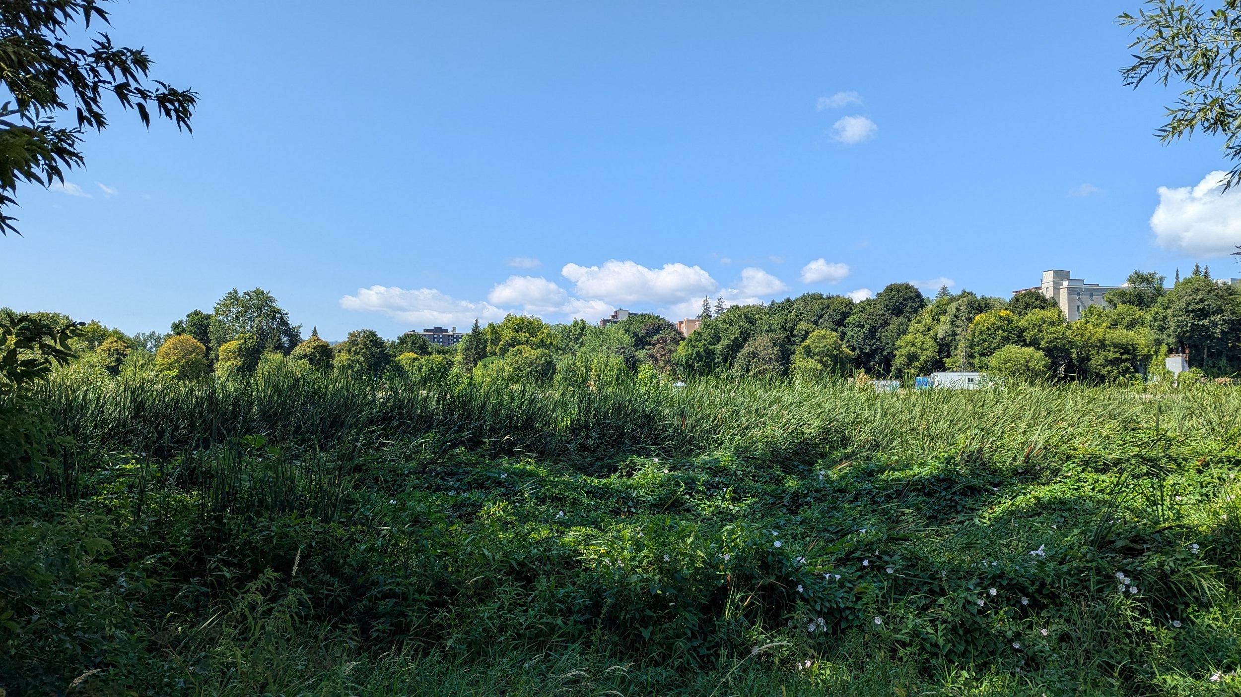
Long, hot and open stretch of the trail now, from southwest of Hurdman Station to the Billings Bridge. The shoreline vegetation occludes views of the river, and does not provide shade, but underpasses make for a reprieve. Lots of cobbles littered about, but this is more of a marshy river reach.


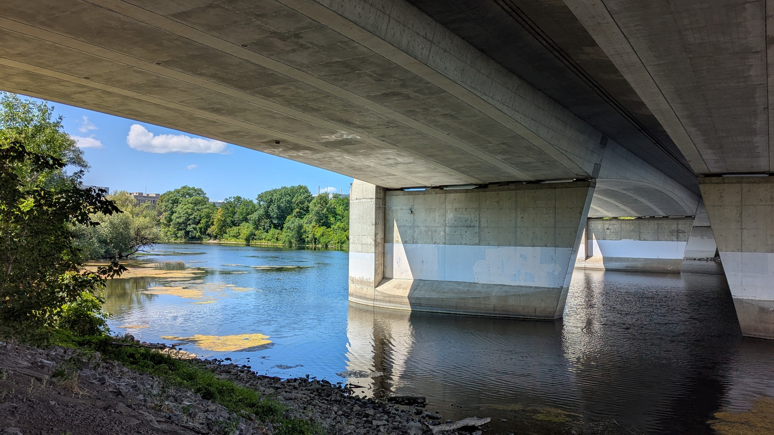
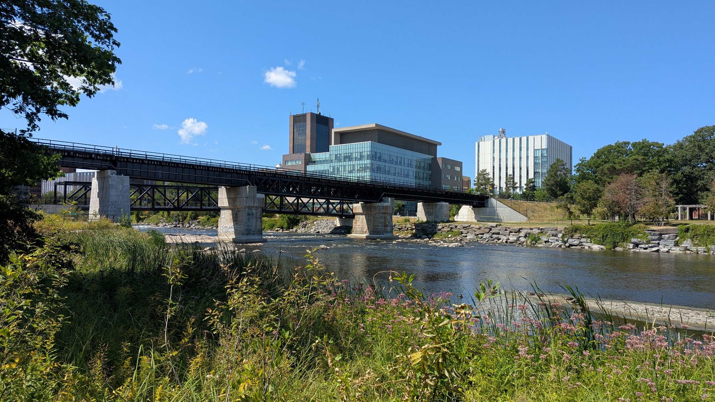
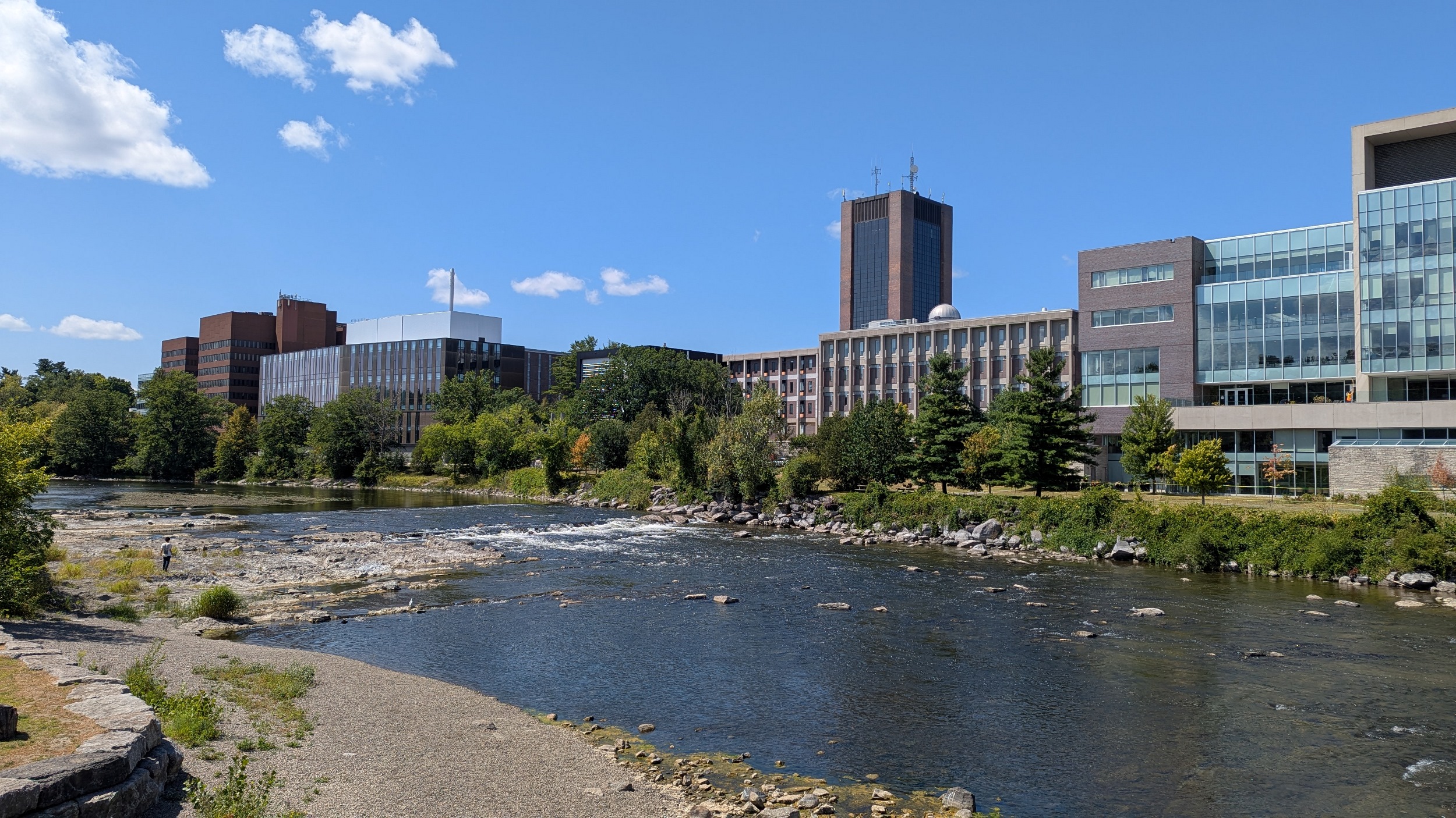
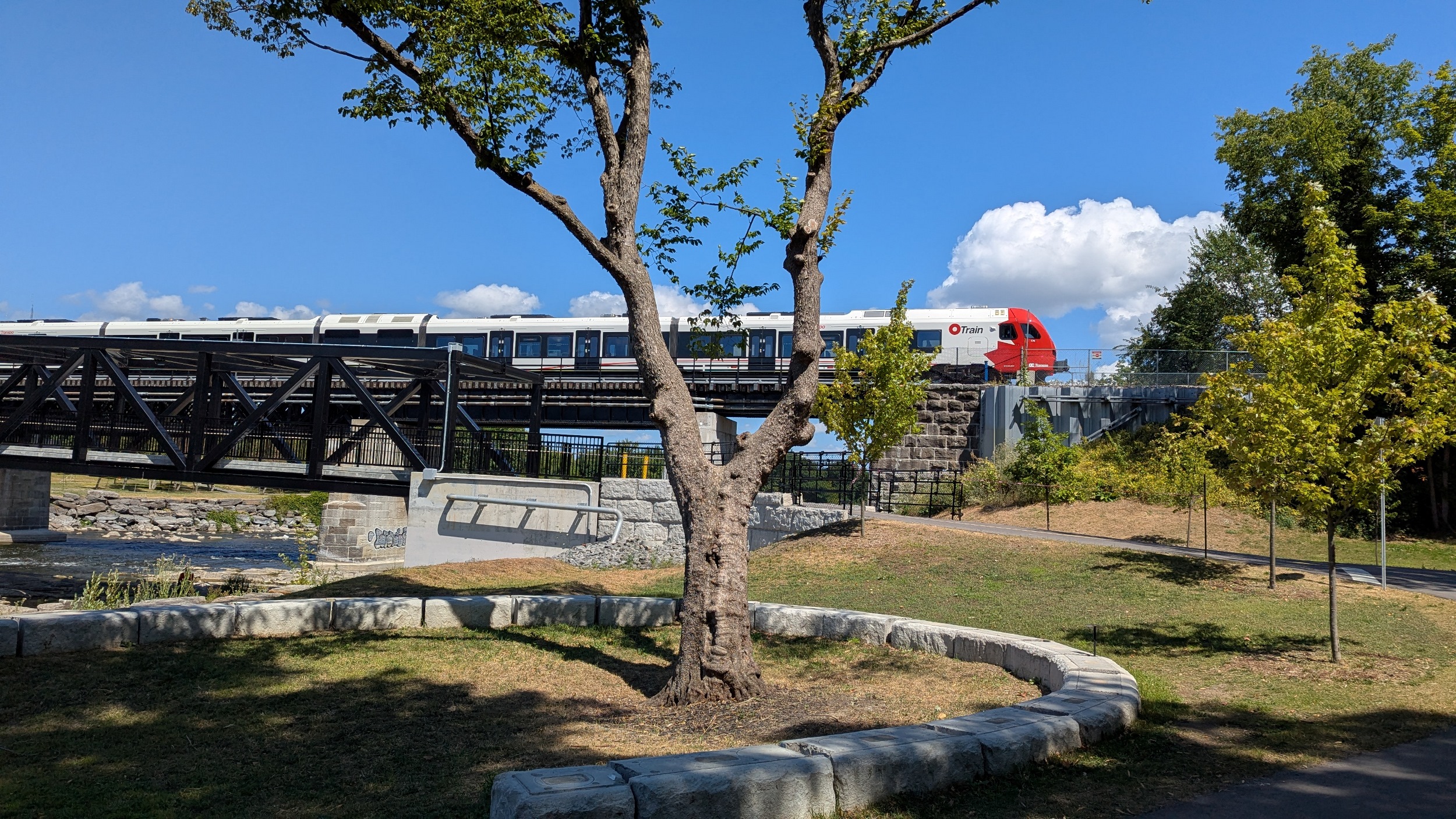
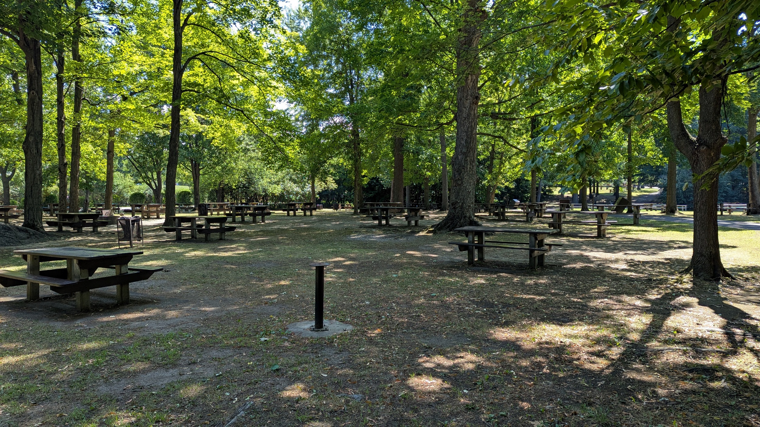
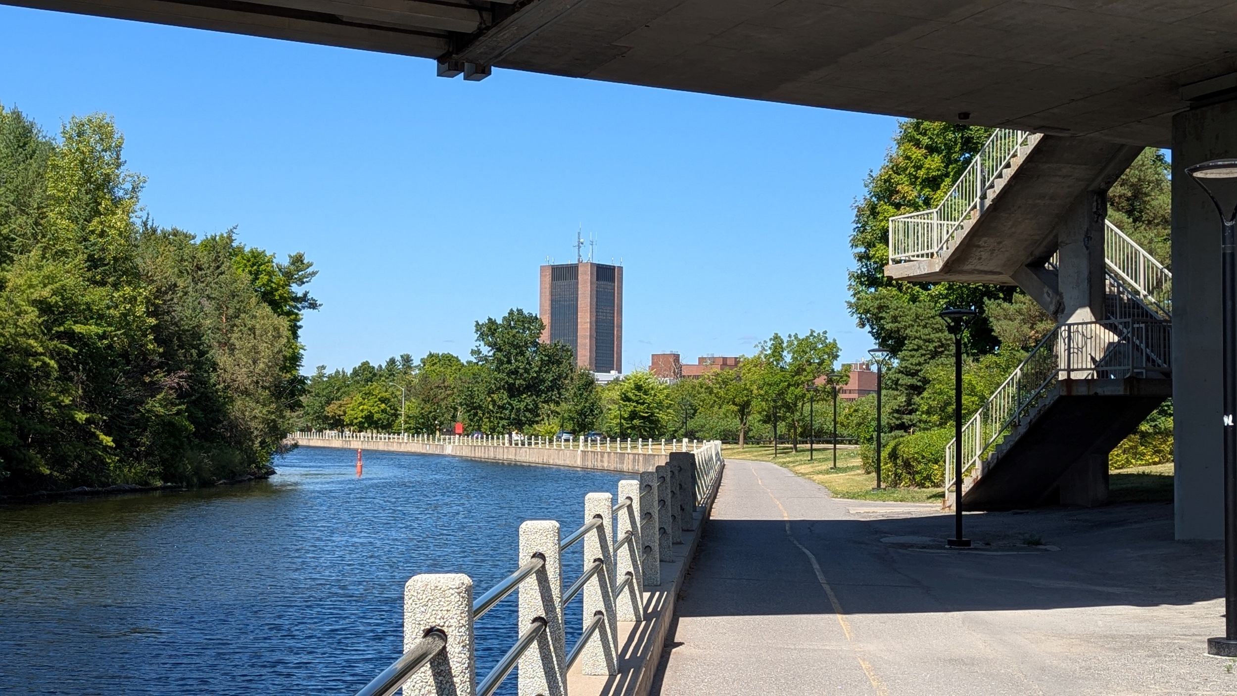
The river begins to meander and braid a bit at a couple of islands. Then the bedrock appears again as you arrive at the Trillium Line, which has a parallel trail bridge with it leading into Carleton University campus. To the south is great park space for studying and relaxing.


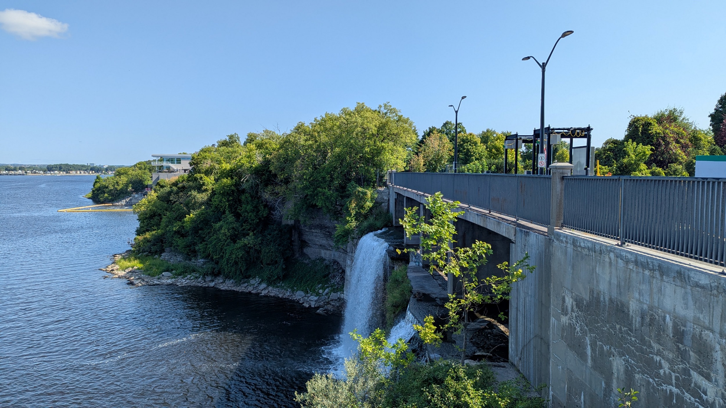
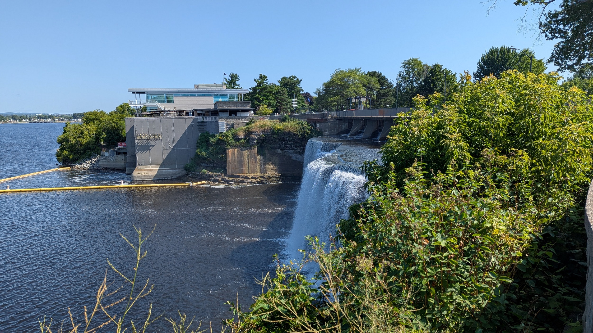
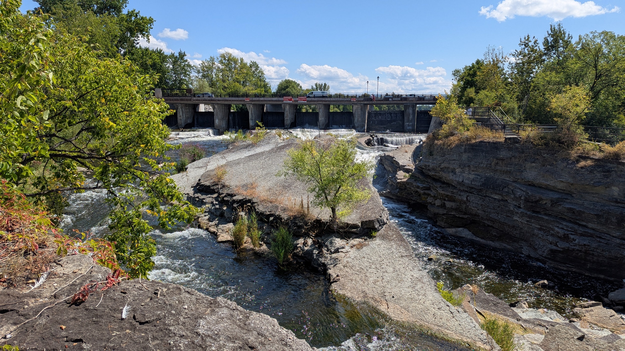
Under the Heron Road Parkway where you’re high up on the cliff bank. Then you come to Hogs Back Falls, where water in the Rideau River is regulated by a dam before spilling over the rocks. Access to the bedrock is open, which is kind of wild to me, and makes for a great picturesque space.


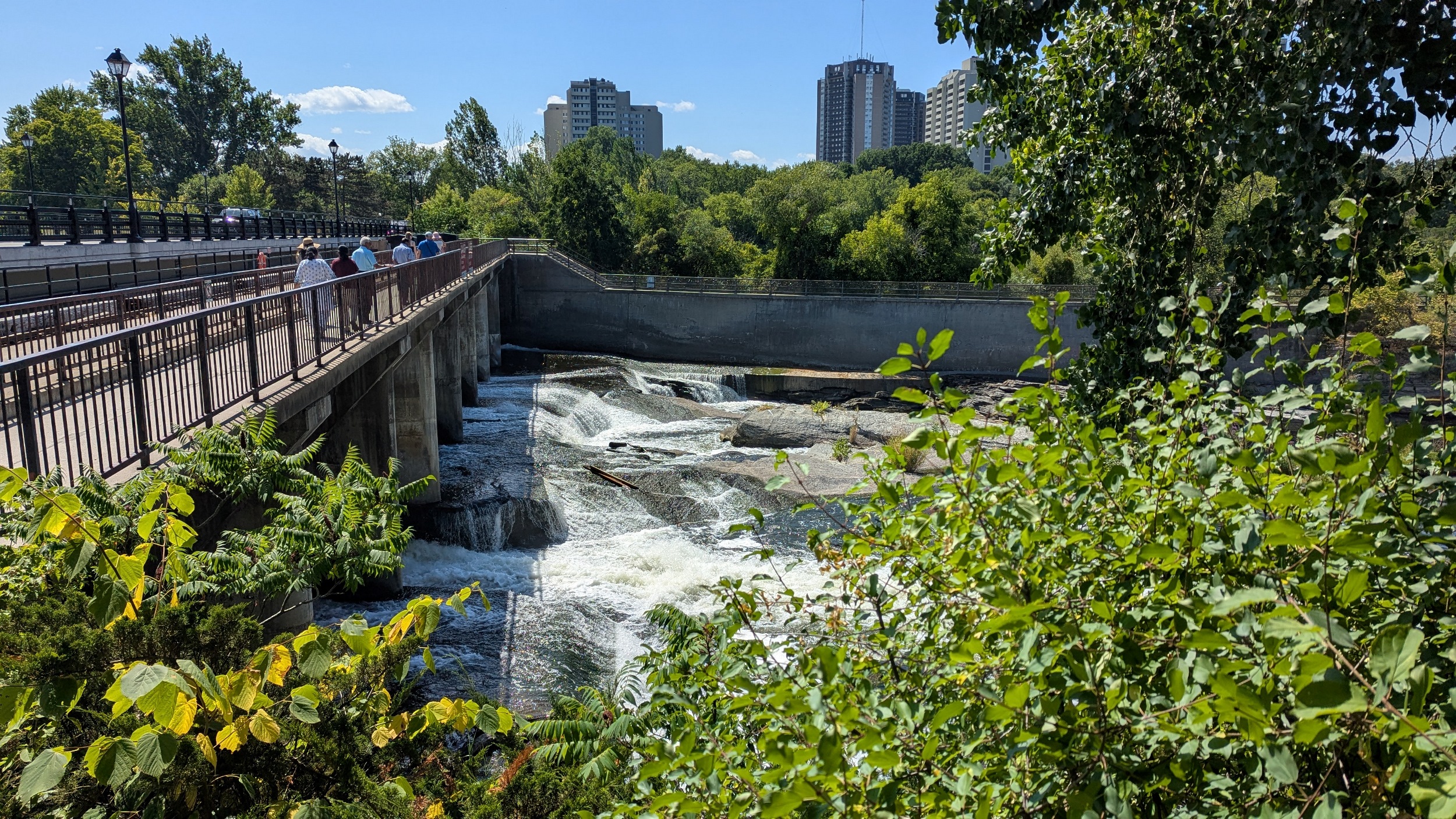


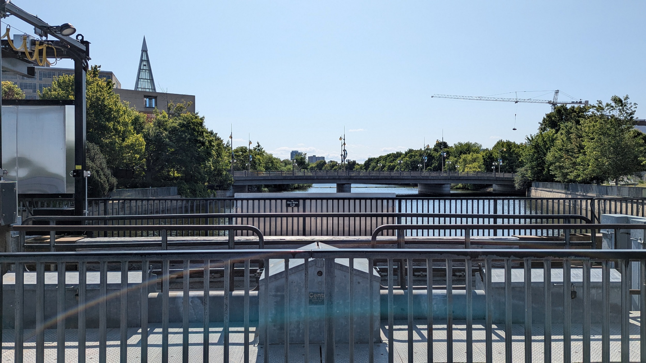
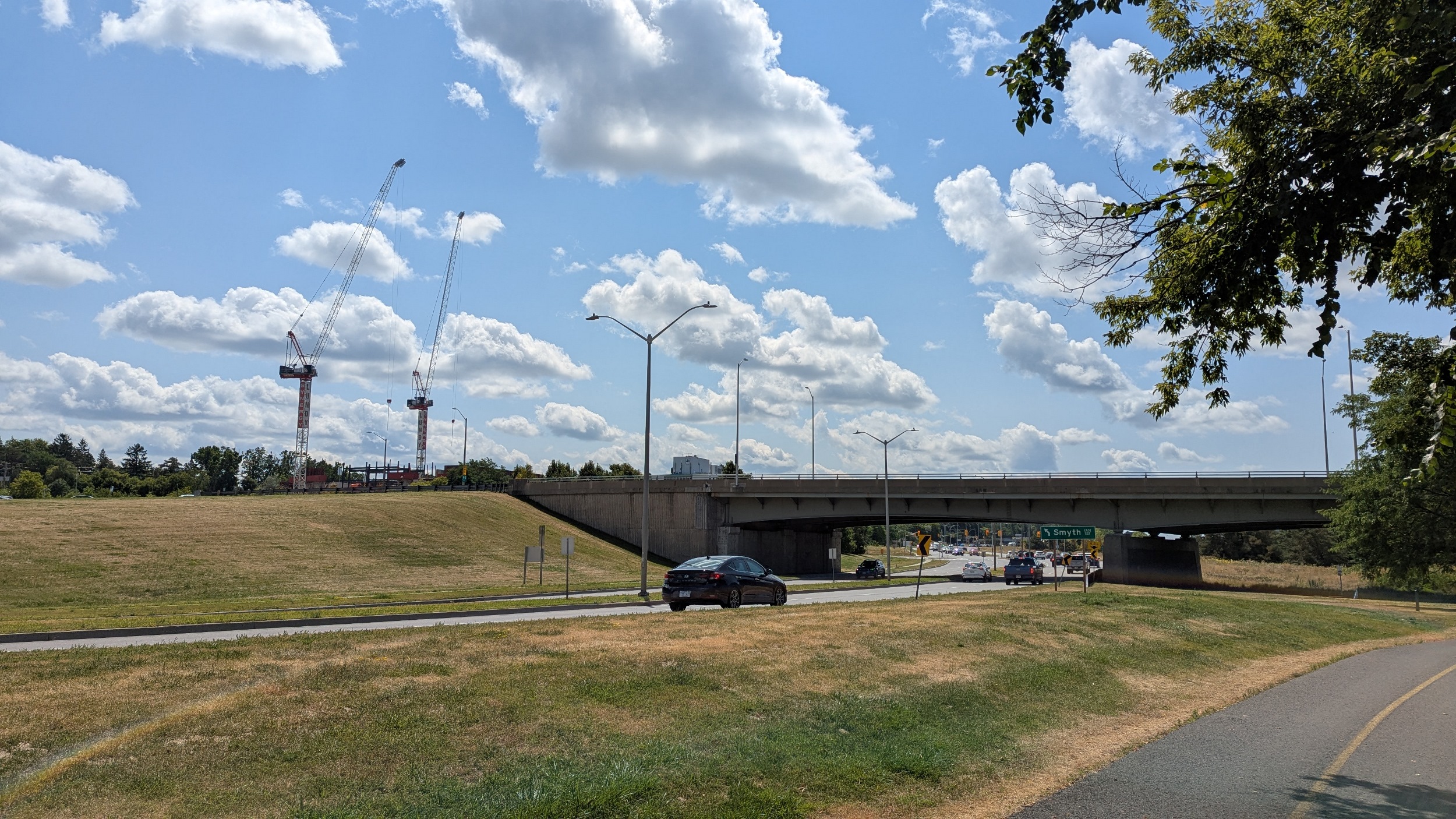
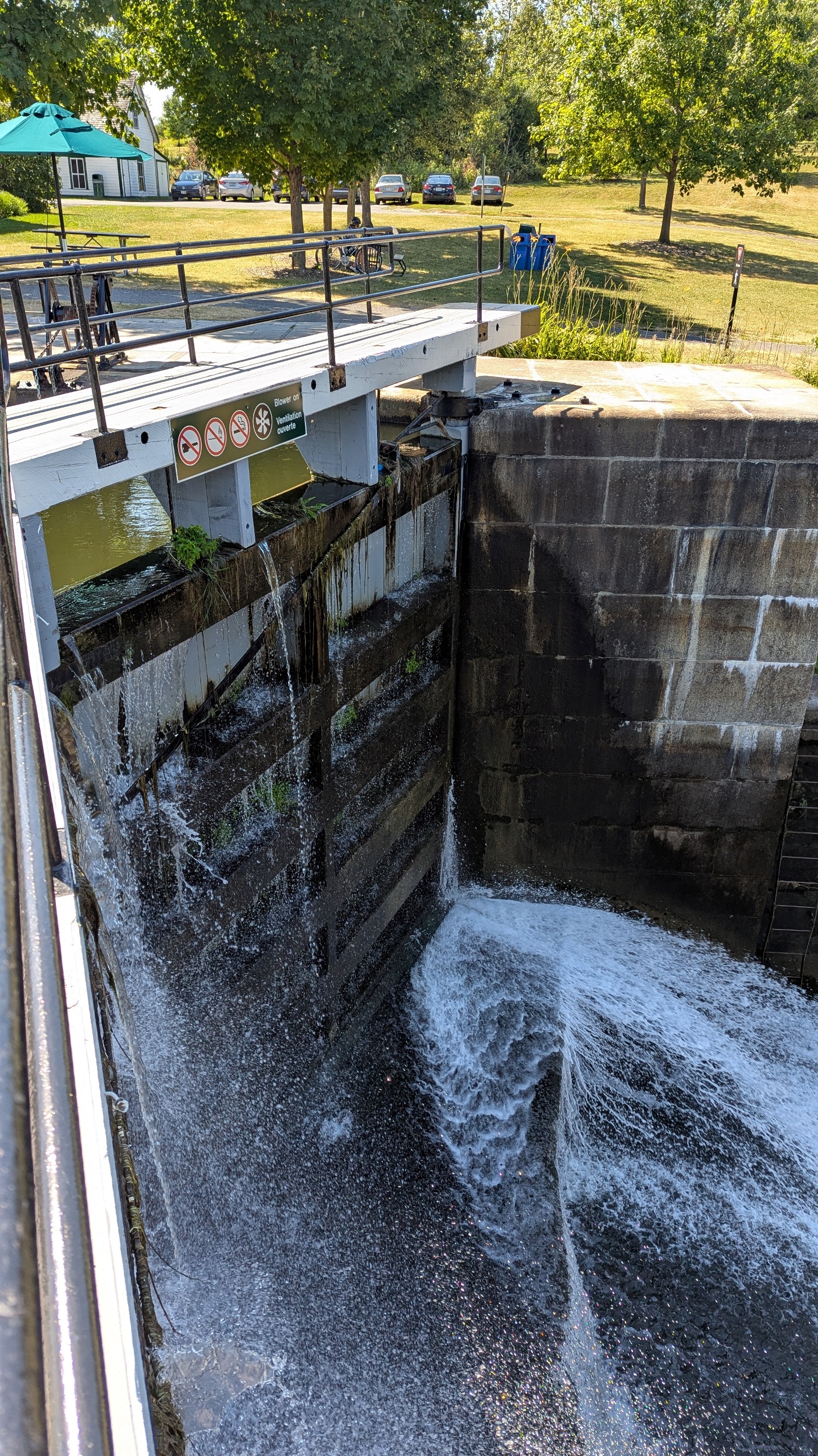
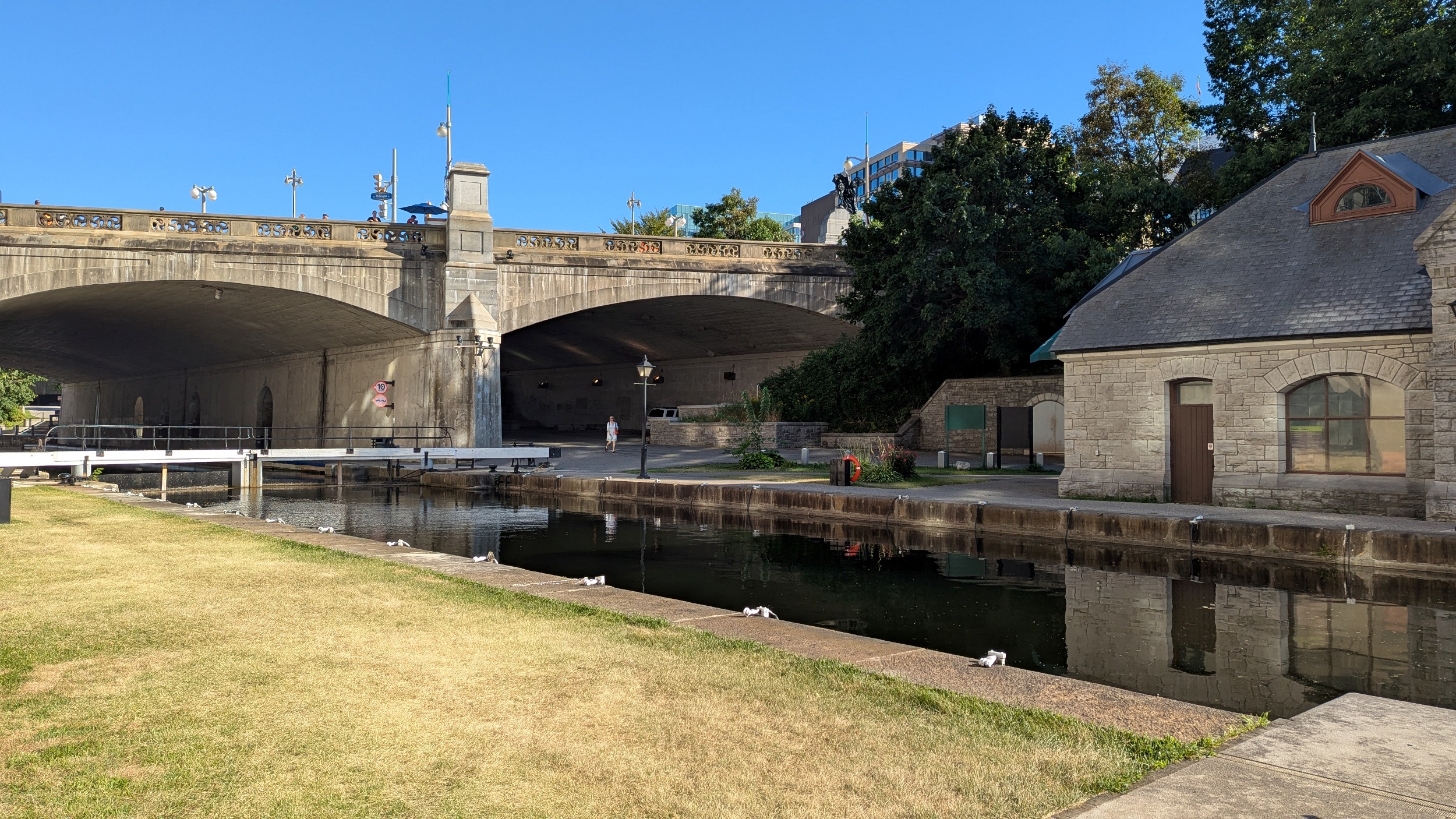
Around the southern point that separates the river from the canal, and down past the first locks: Hogs Back Locks (11/12). This is a point where the land separating the two watercourses is less than 100 metres wide.


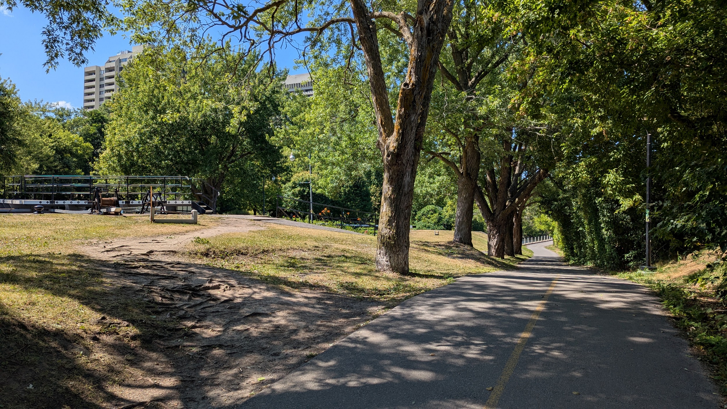


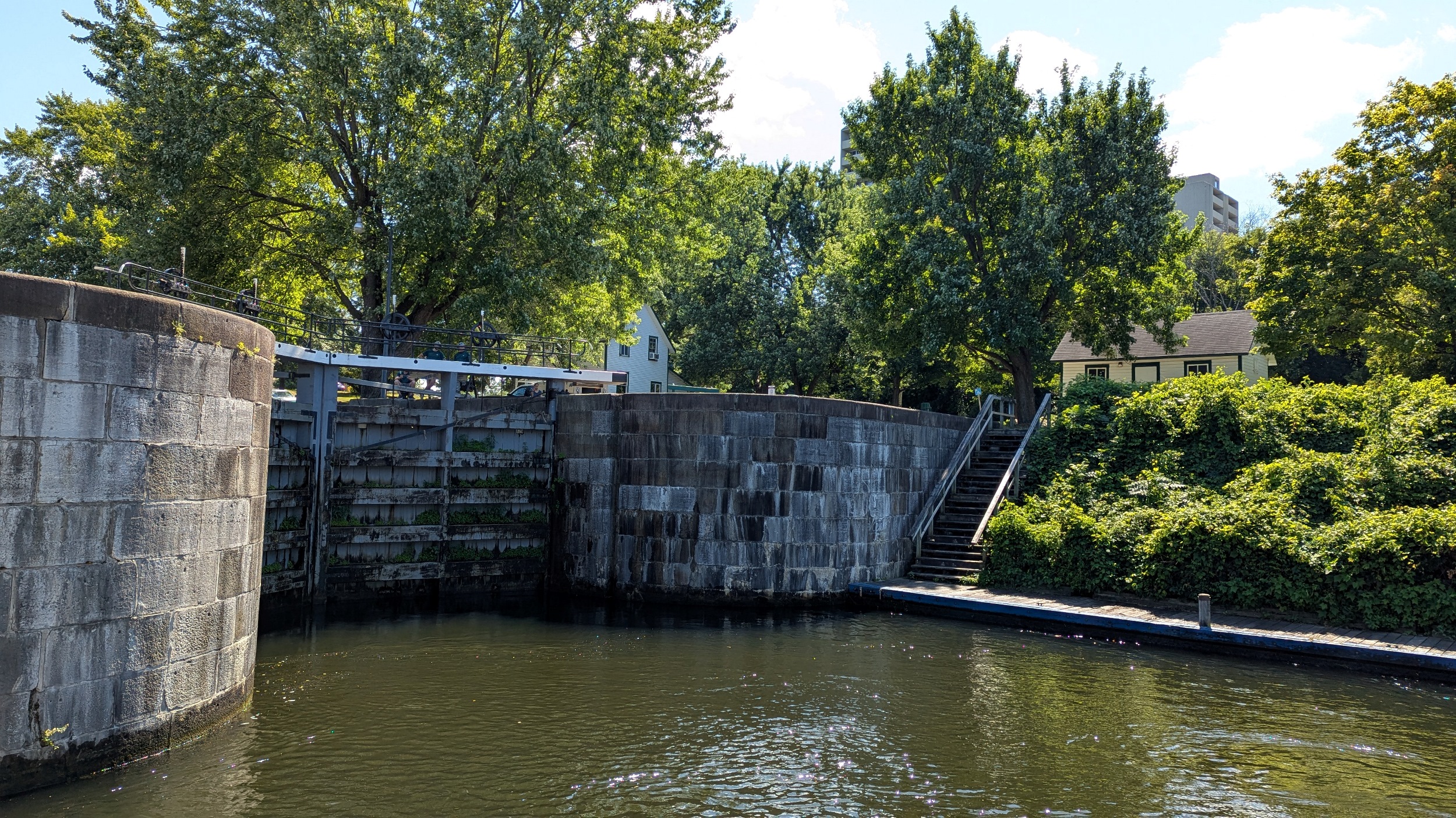

Further down from Hogs Back to Hartwells (Locks 9/10). I forgot this is part of a 202-kilometre canal system all the way from Kingston, and it is the oldest continually operating canal in North America.


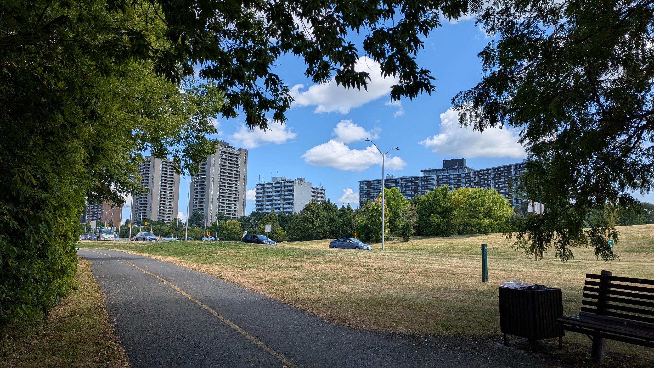
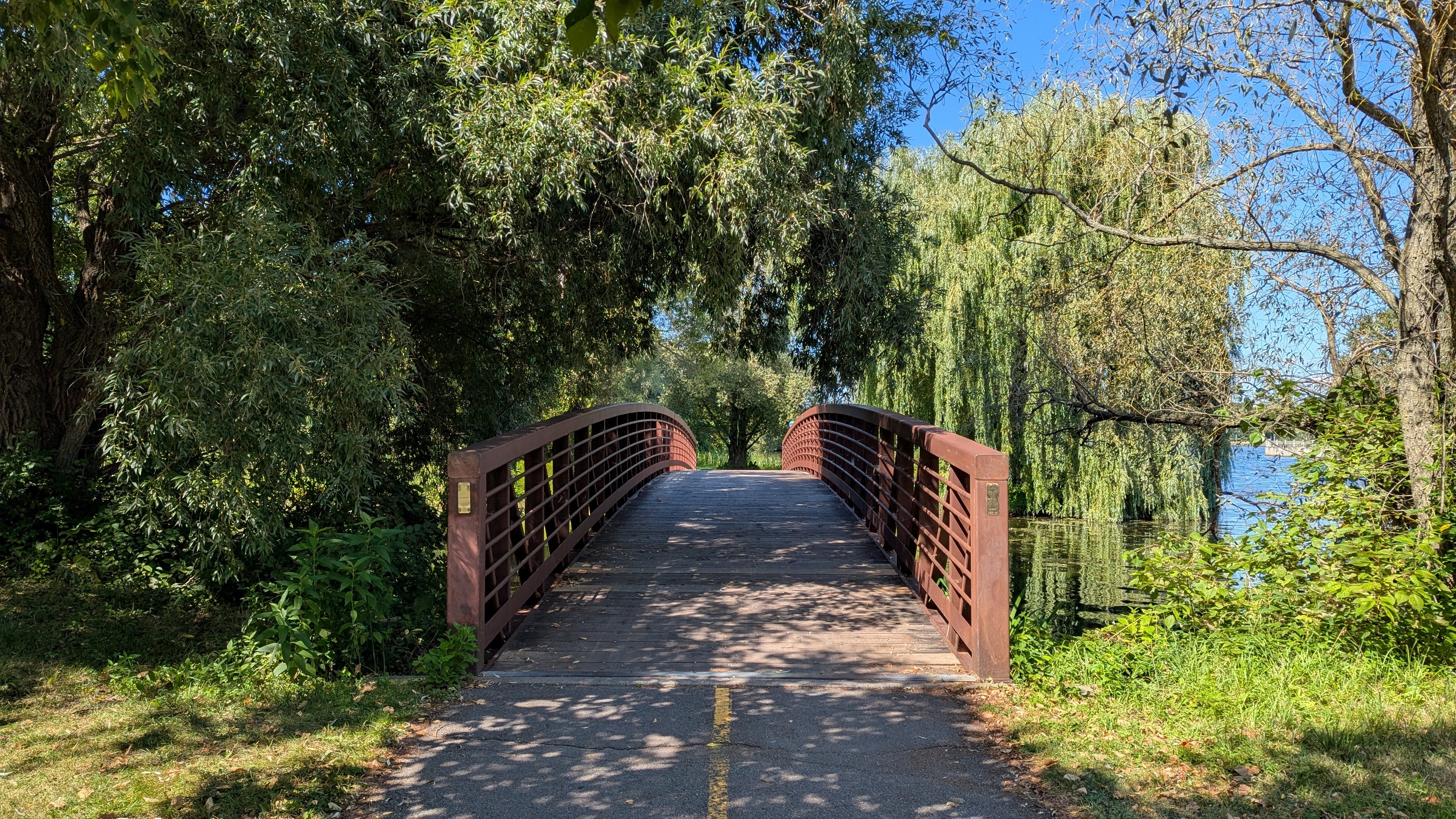
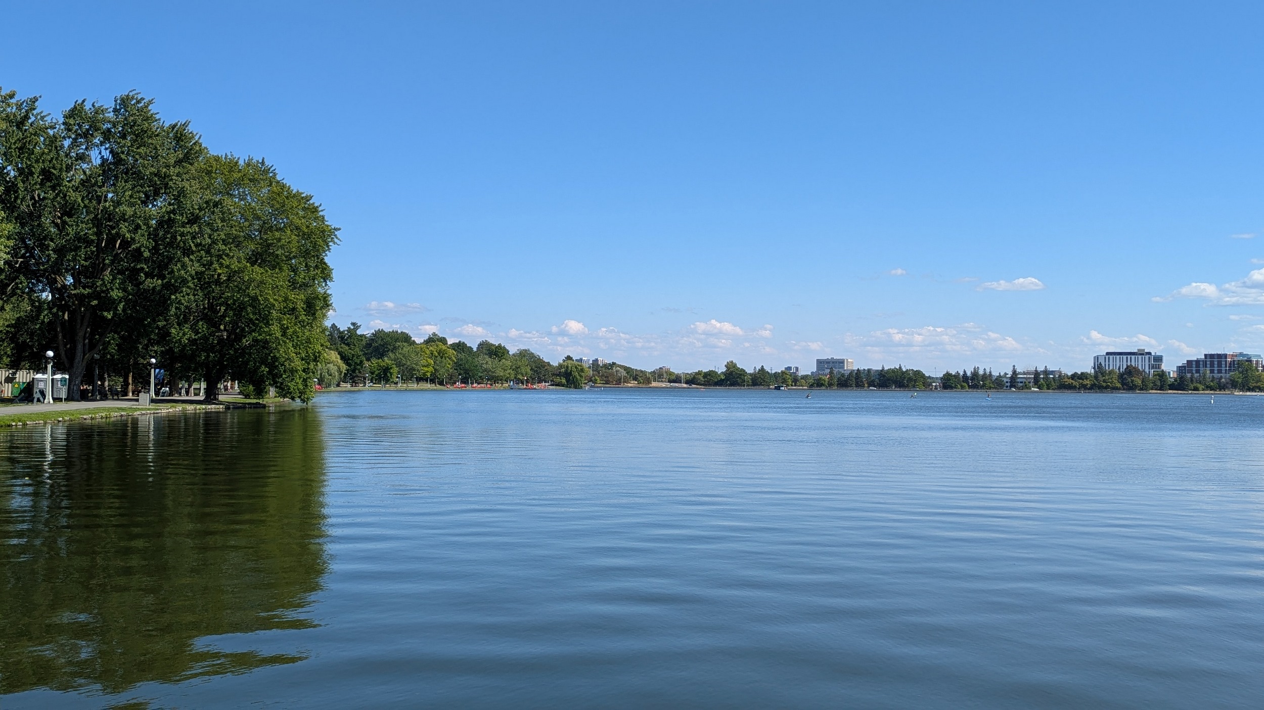
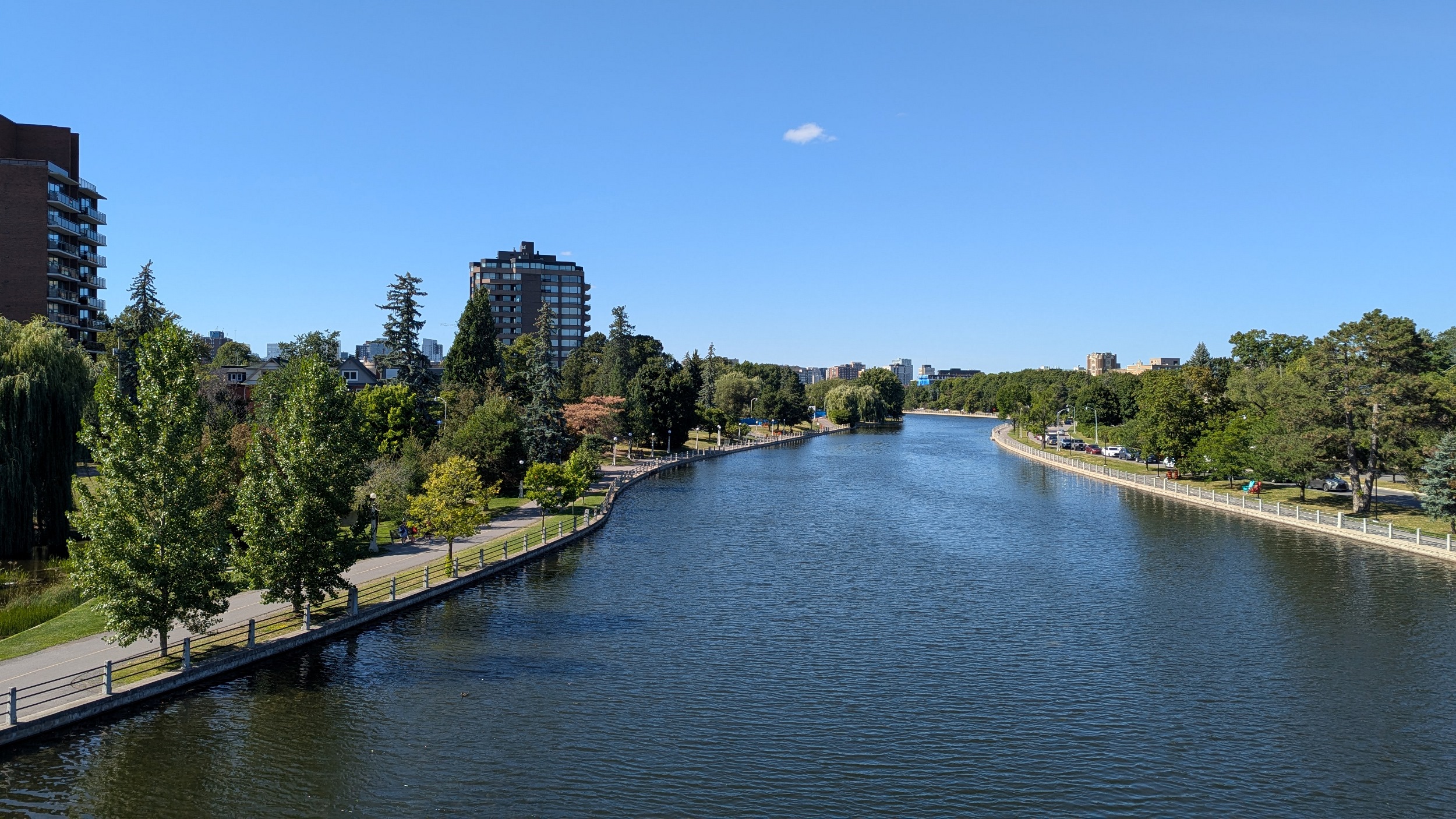
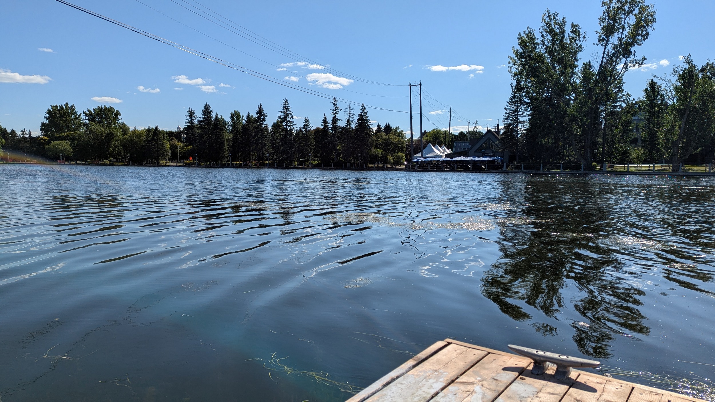
The canal is largely a straight shot, but one exception is Dow’s Lake. Huge willow-lined trails lead you to the edge at Queen Elizabeth Driveway, and then you start to head in a bit.


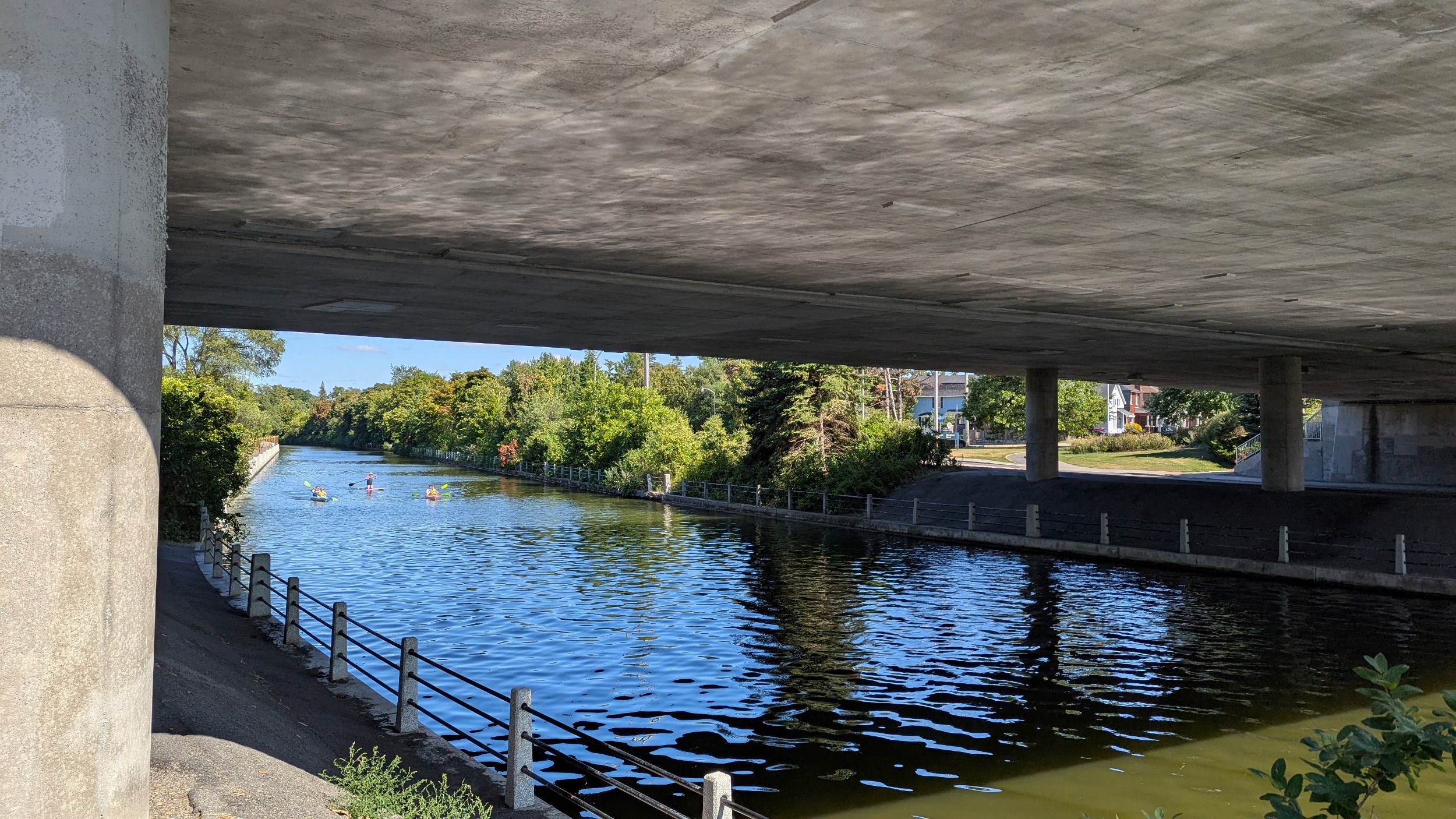
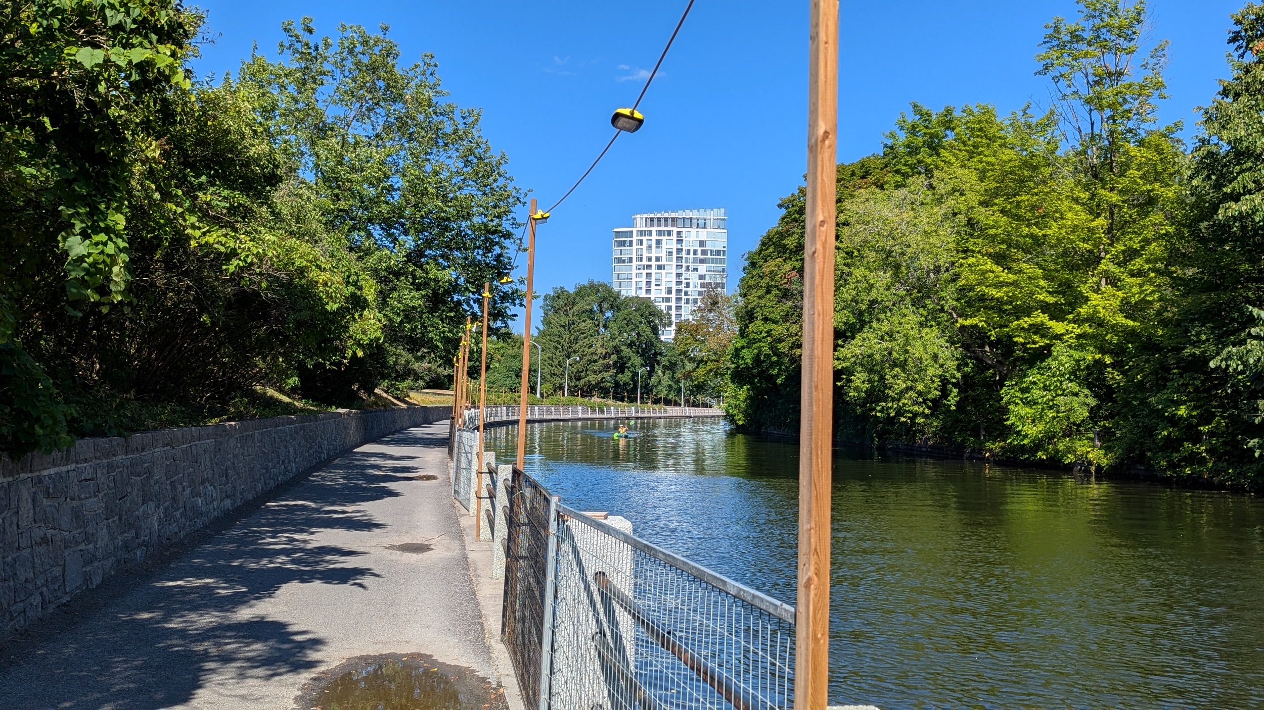
Very narrow section of the canal, then under Bank Street before widening out. There’s many sections where I face a headwind, and others that are stagnant. But formal trails line both sides now, even if there’s roadways on both sides too.


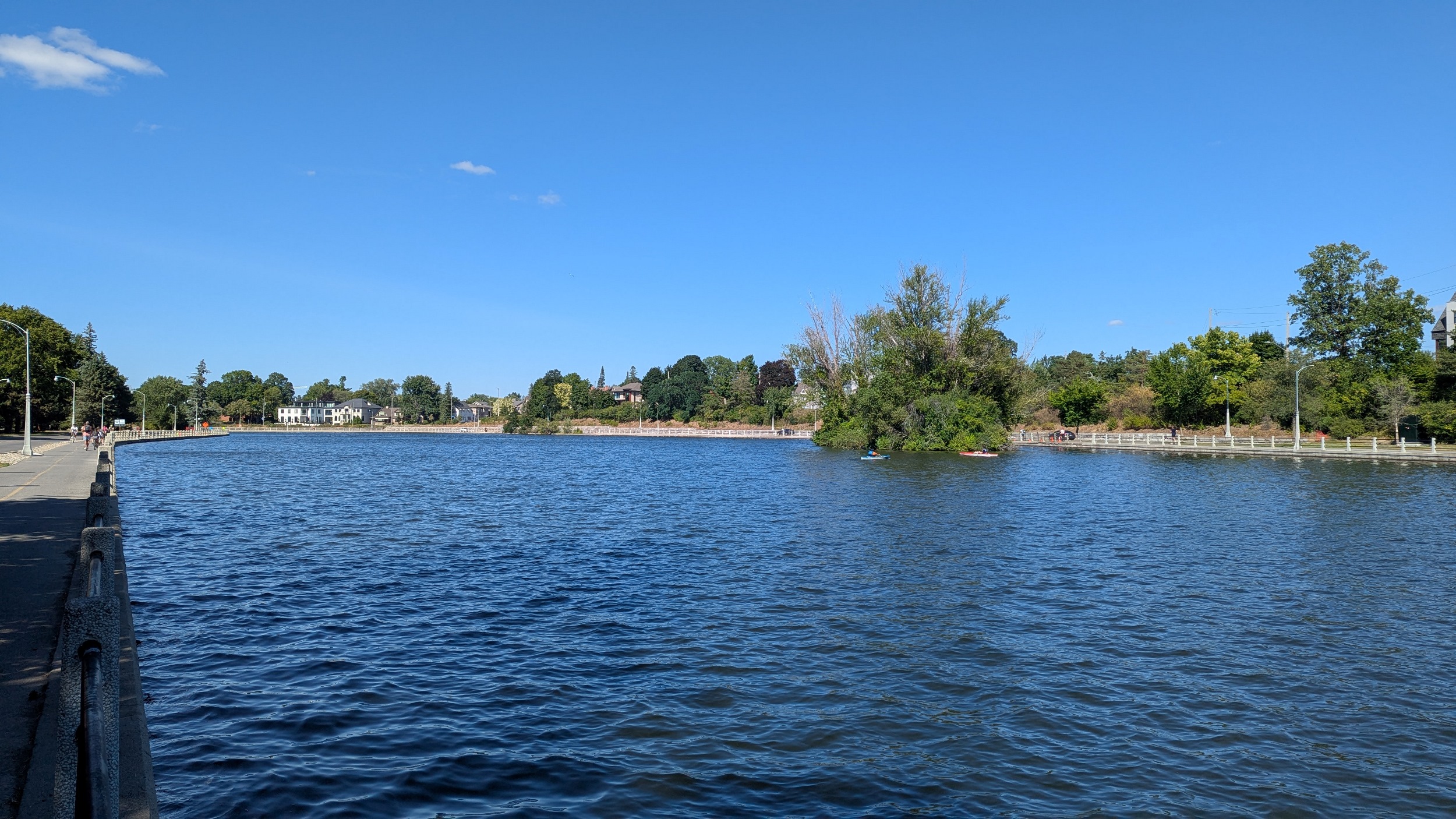

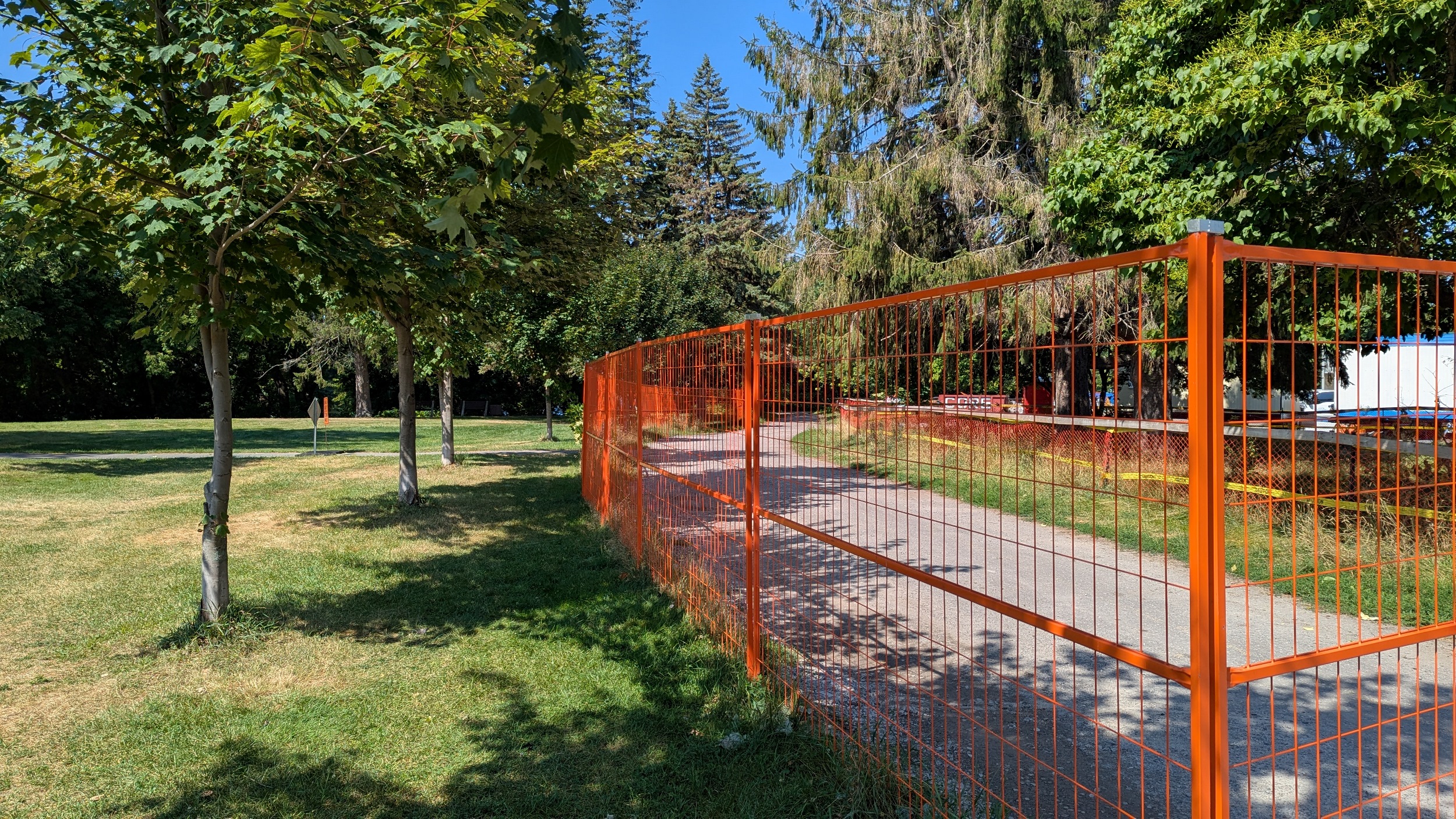
South to Fifth Avenue, and you reach the Flora Footbridge, which features a man-made wetland and little canal pond. There’s notices for construction so I’ll hop over to the east side, although the stairs for this bridge are not well placed.


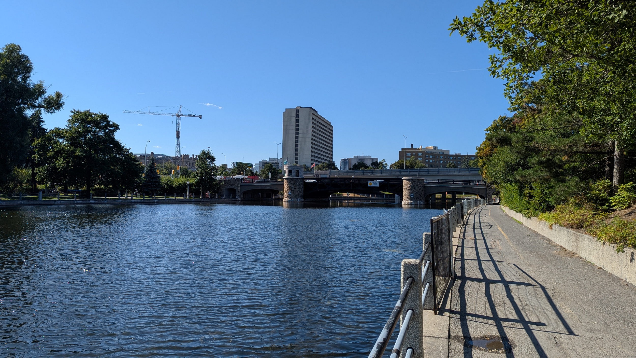
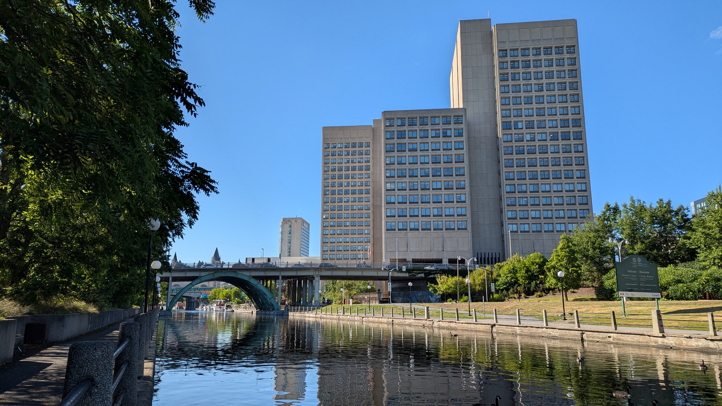
Past Patterson Creek, over the Pretoria Bridge, and under the 417. The west edge offers separated pedestrian and bike paths, which lead to the final bend.


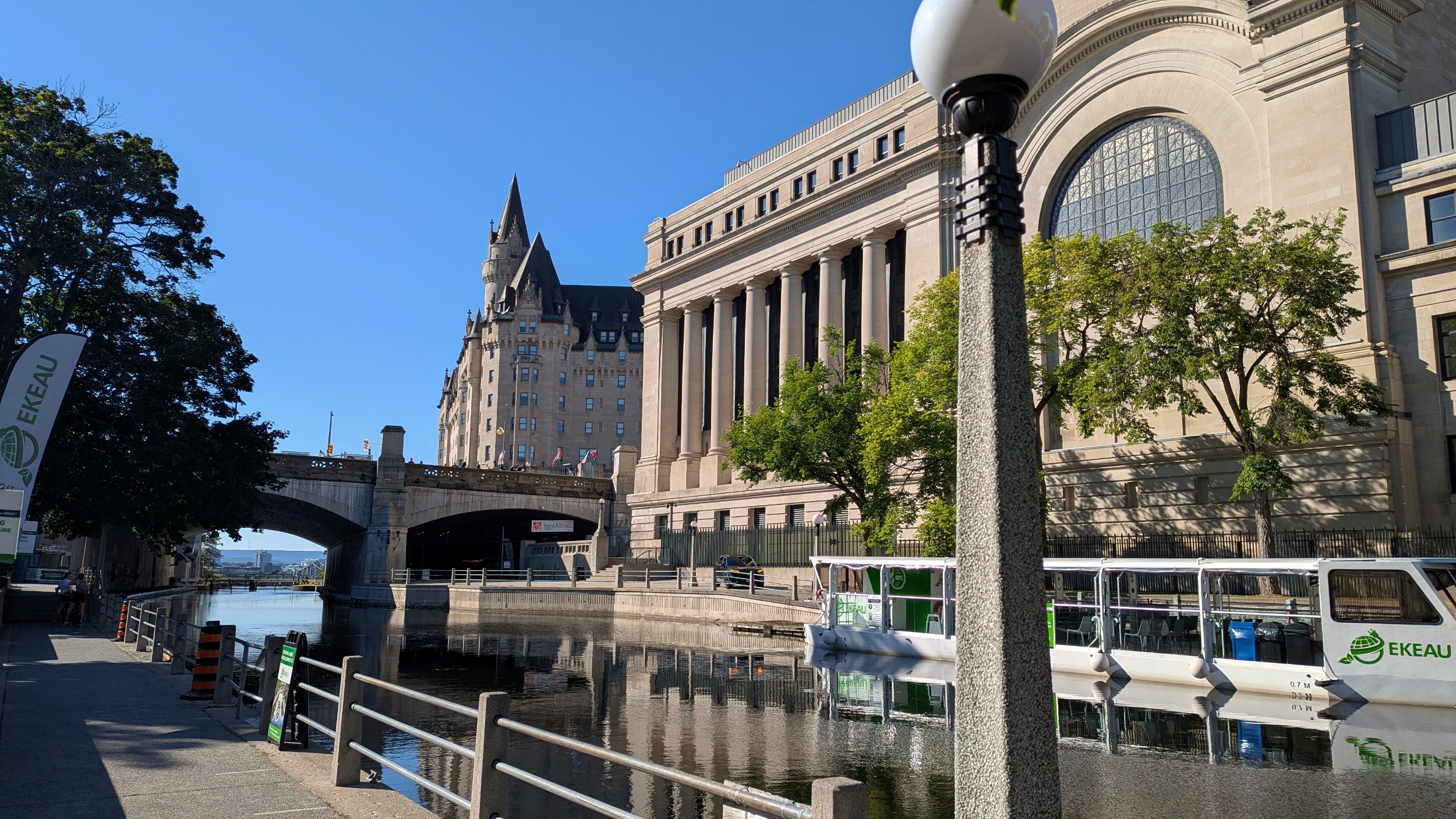
After the Corktown Footbridge, Parliament Hill comes at you fast. Boats along the edge, seemingly waiting for canal passage.


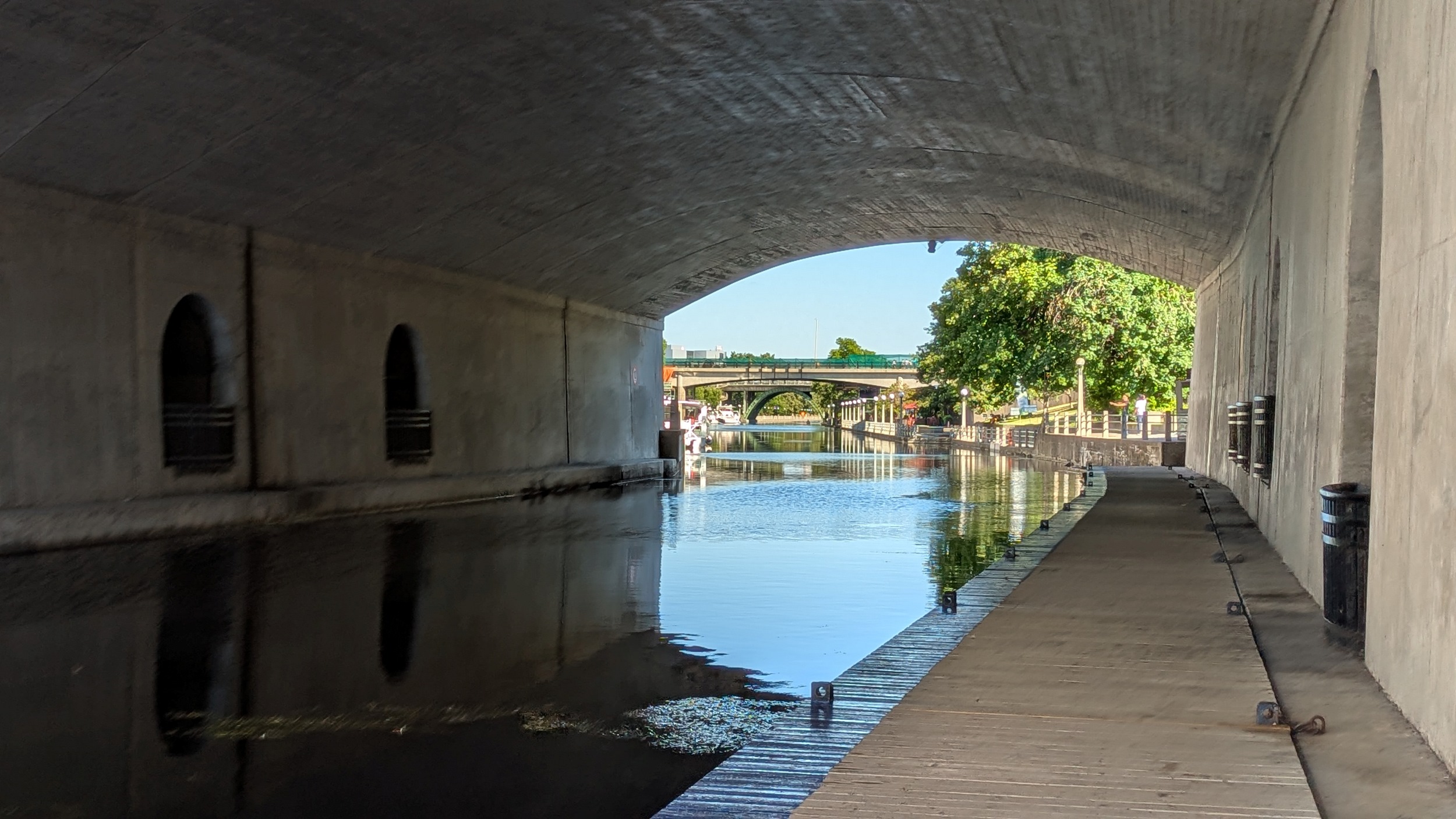
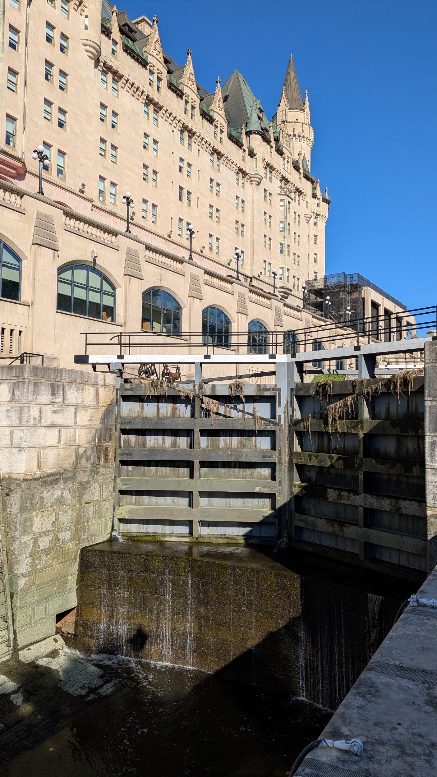
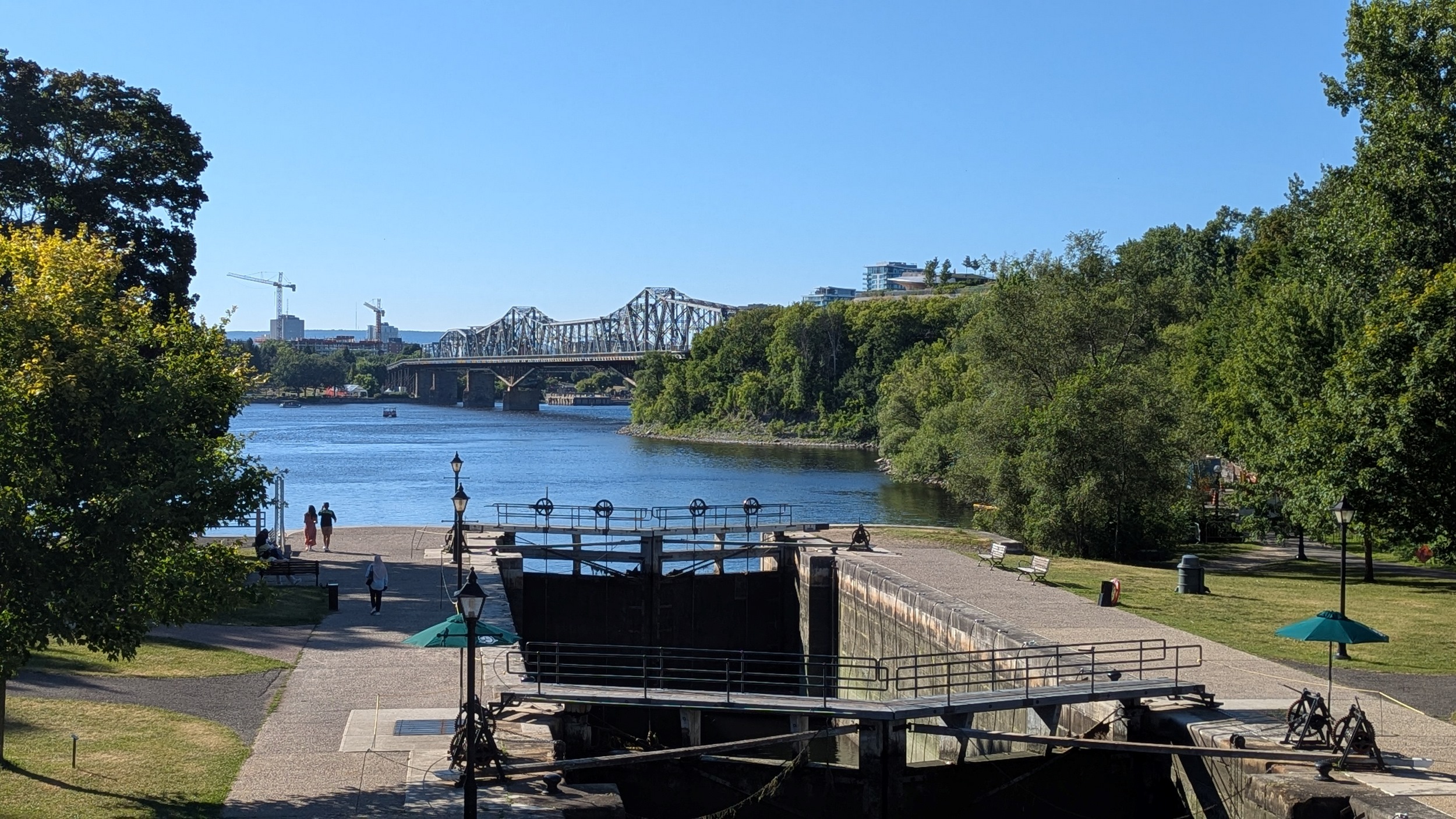
The Ottawa Locks, many of them to get down the vertical drop to the river. You are allowed to step on top of the lock gates, if you have the stomach. The Alexandra Bridge adorns the background. I planned to go to Kìwekì Point but a trail closure has thwarted me, so ending it here. Thanks for joining.


Date: August 14, 2025
Length: 25.5 km
Type: Riverine