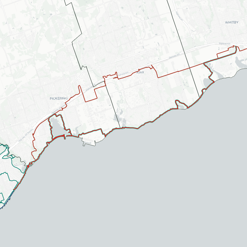
Good morning from Rouge Hill in Toronto. Today I will be following the Lake Ontario shoreline eastwards towards Whitby. I’ll start here in Scarborough’s southeastern corner and jump over the Rouge River. Hoping wildfire smoke dissipates as projected. Let’s go.


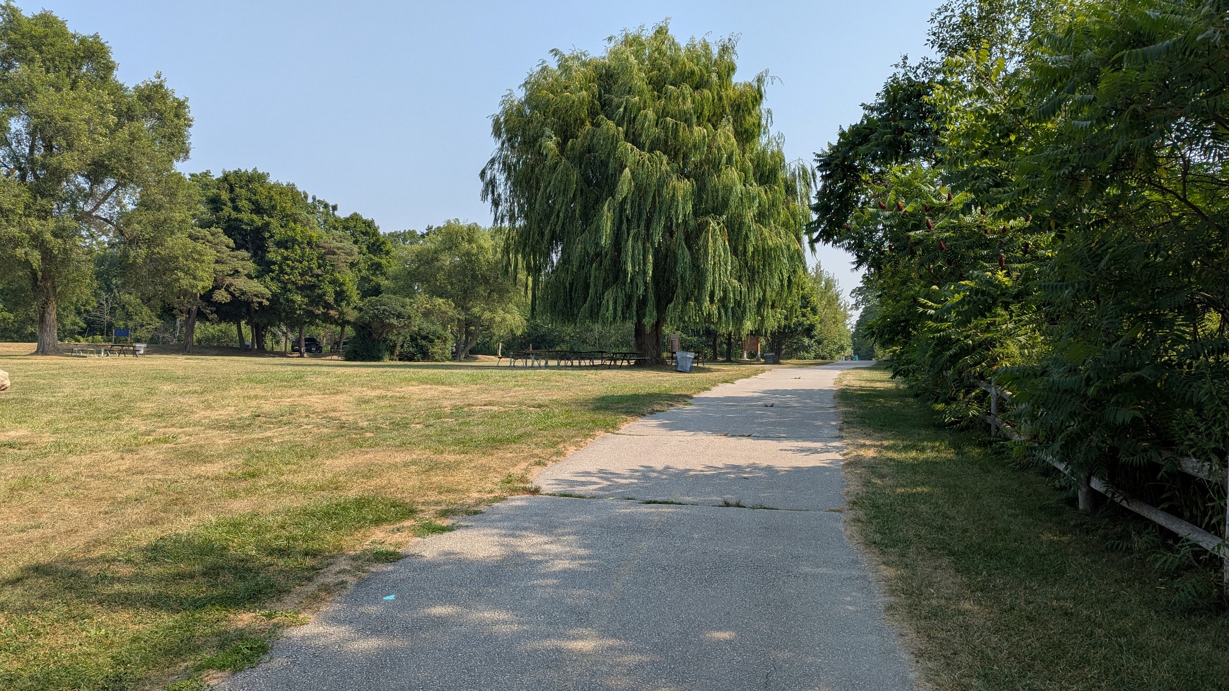
Either people are betting on the air forecast like I am, or current conditions aren’t stopping them. The shoreline entrance into Rouge National Urban Park is bustling with bikers, hikers, bleachers and kayakers.


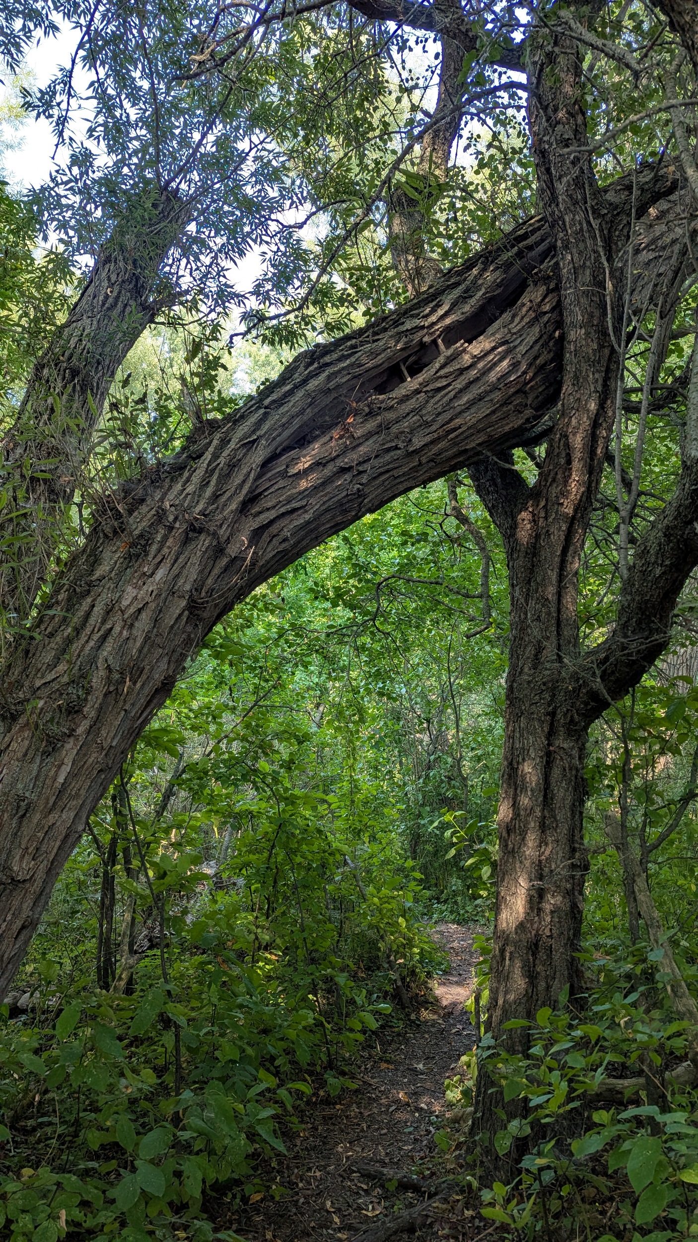
Over the river, under the tracks, and into the East GTA. Then around some private property until you get to Petticoat Creek Conservation Area. While I had gone northeast at this point back in the winter, I am not following the tracks today and sticking along the bluffs.


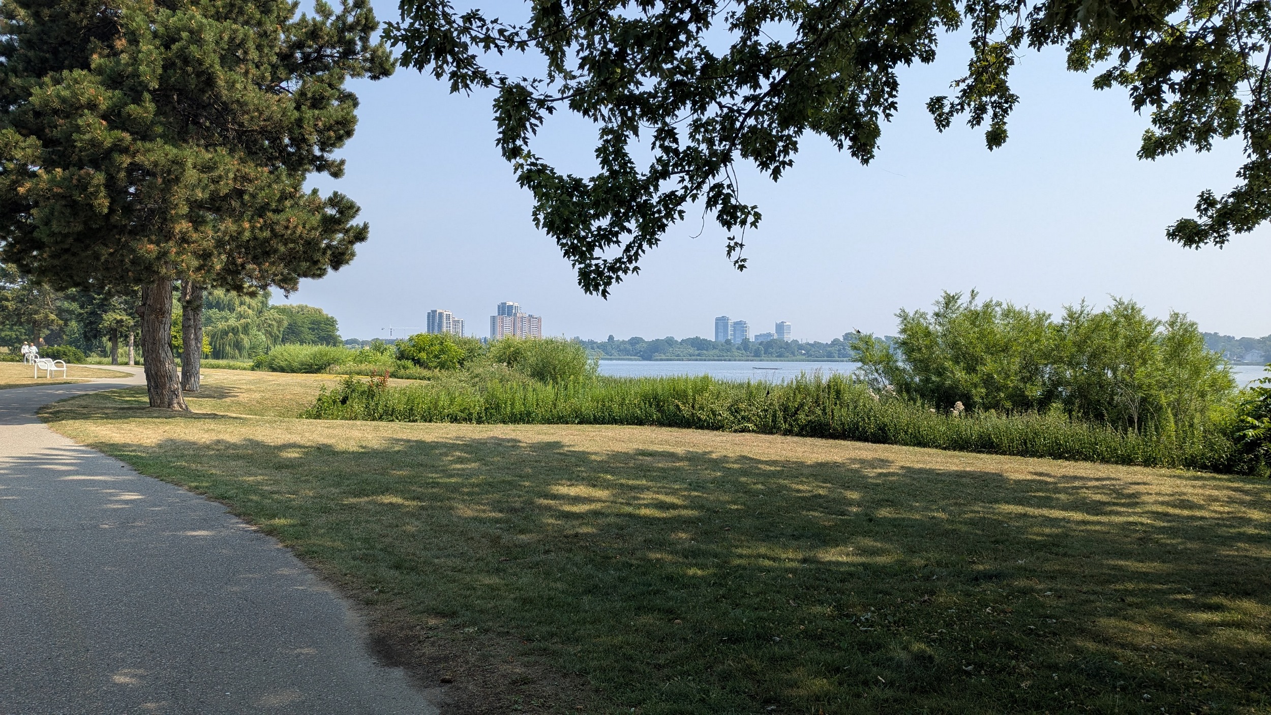
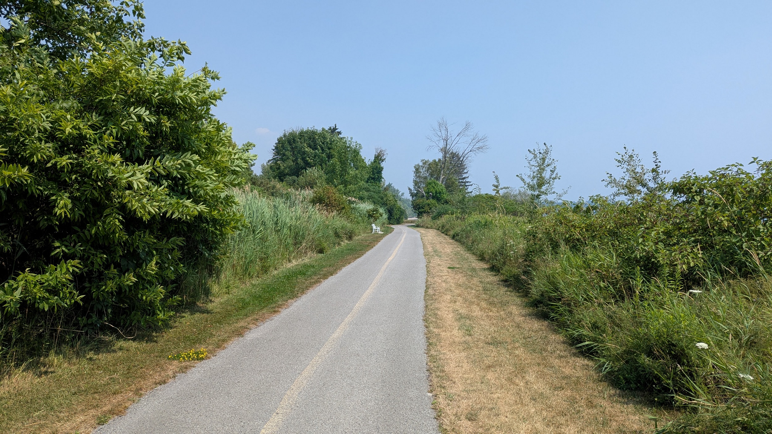
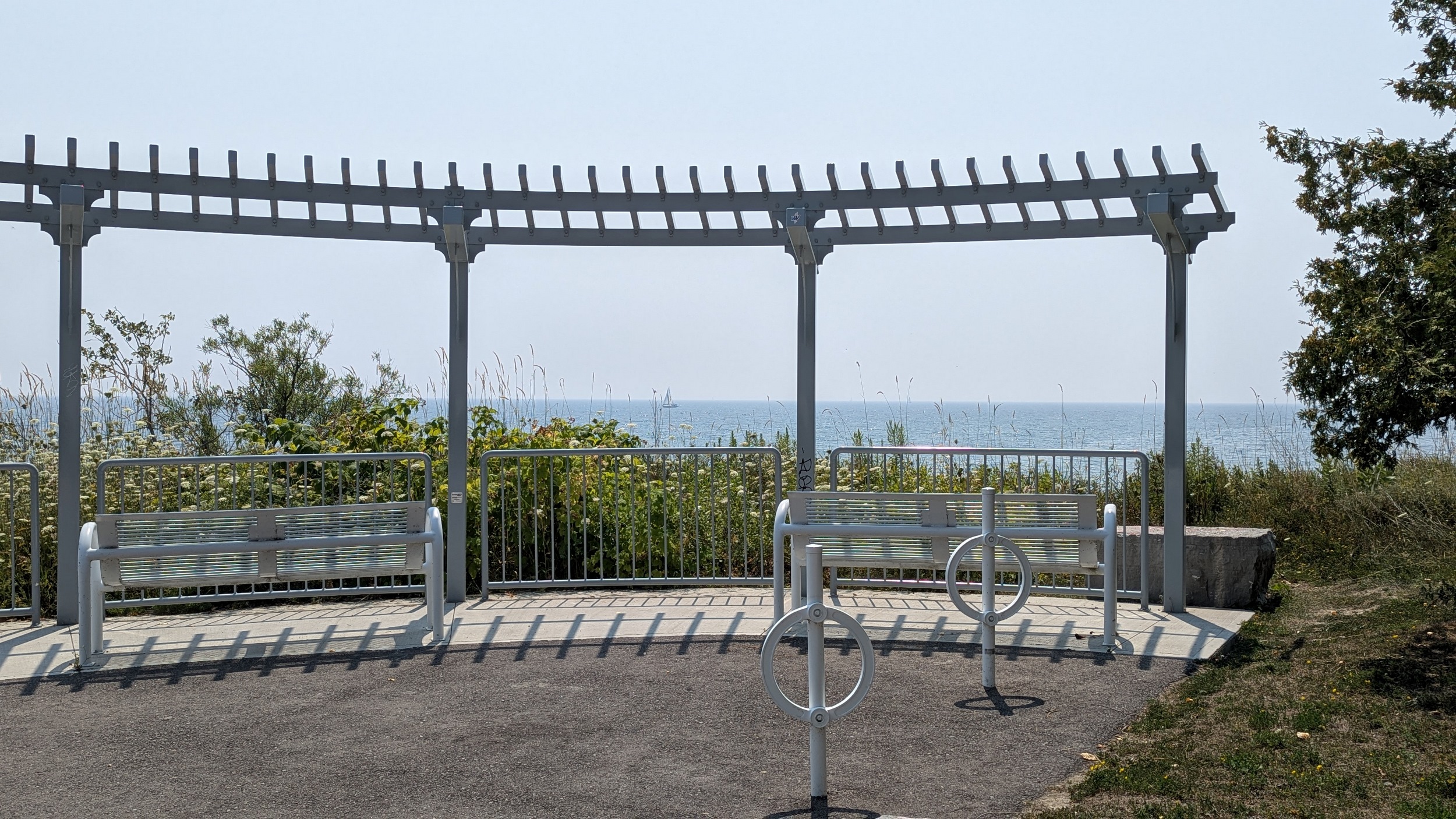
The conservation area provides a great view from the bluffs, as well as an excellent quality trail that keeps you cool with plenty of shade. The trail skirts Park Crescent and starts to sink down, making you think you’re heading for the water’s edge, but a private lot on Marksbury Road thwarts that.

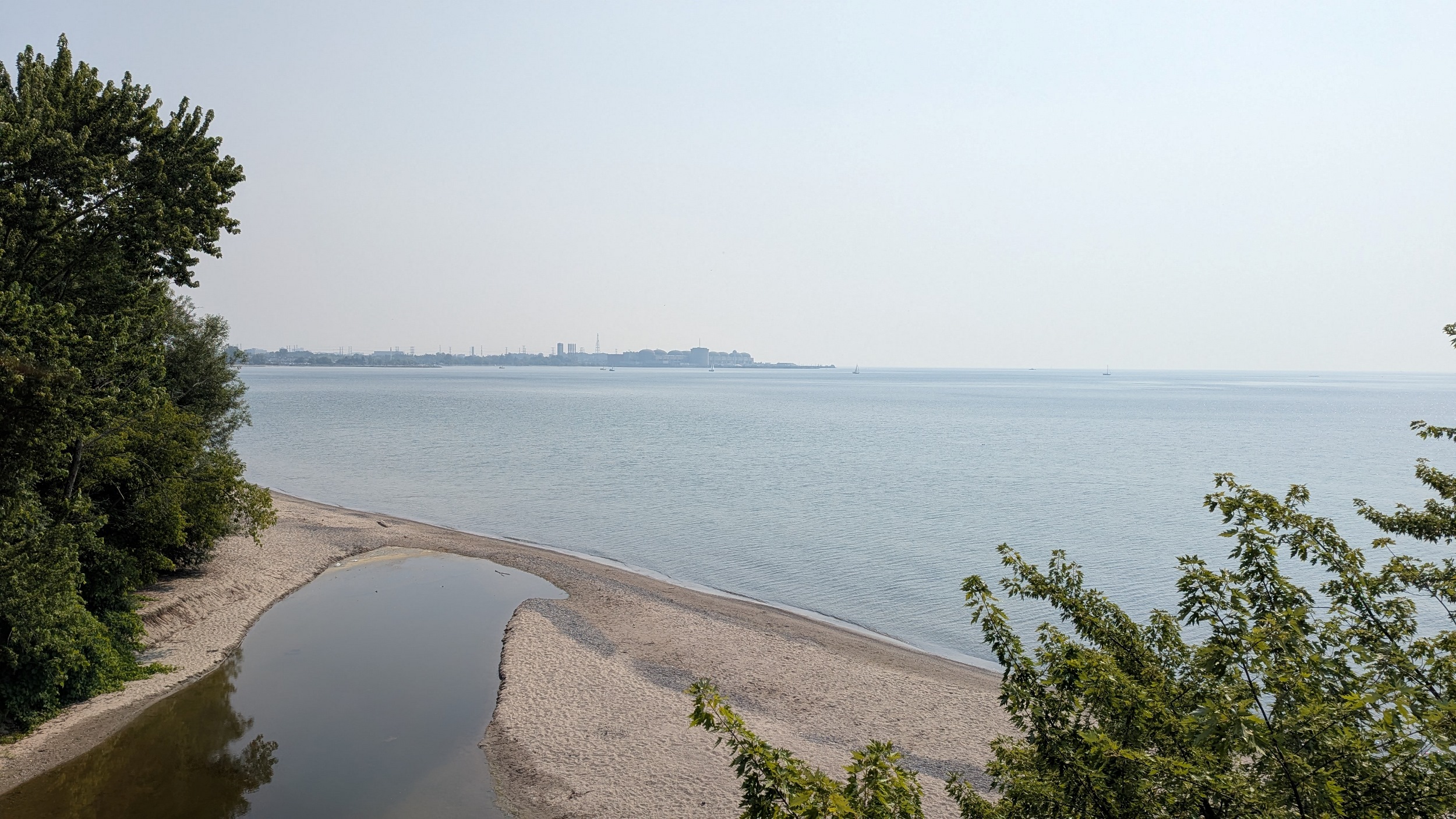


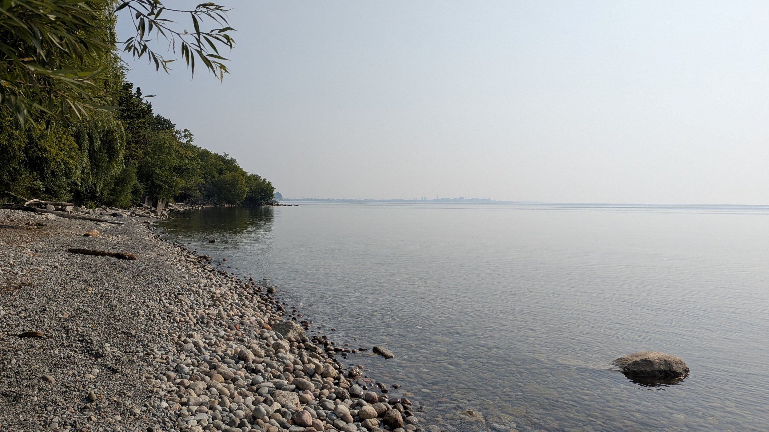
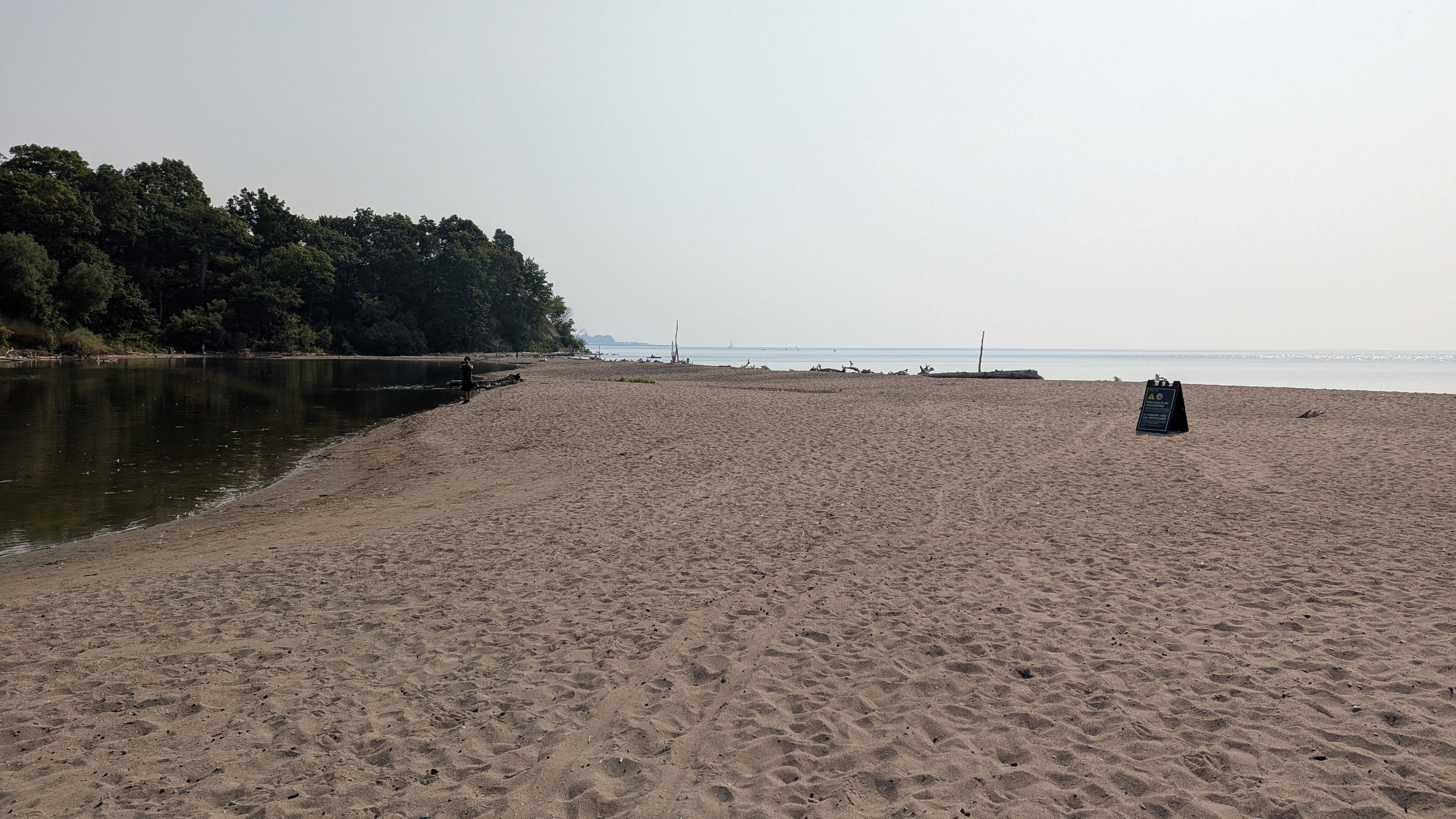
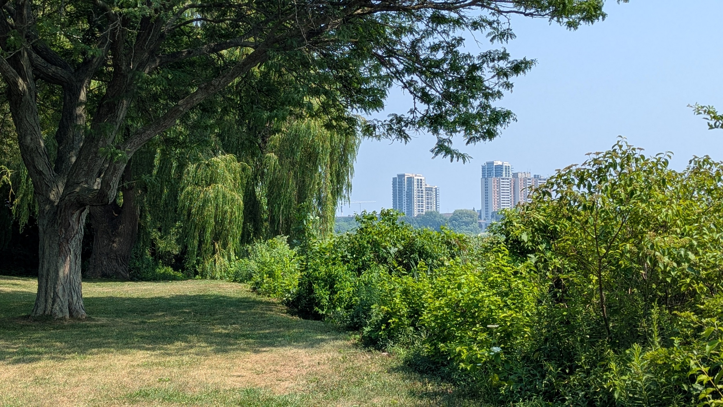
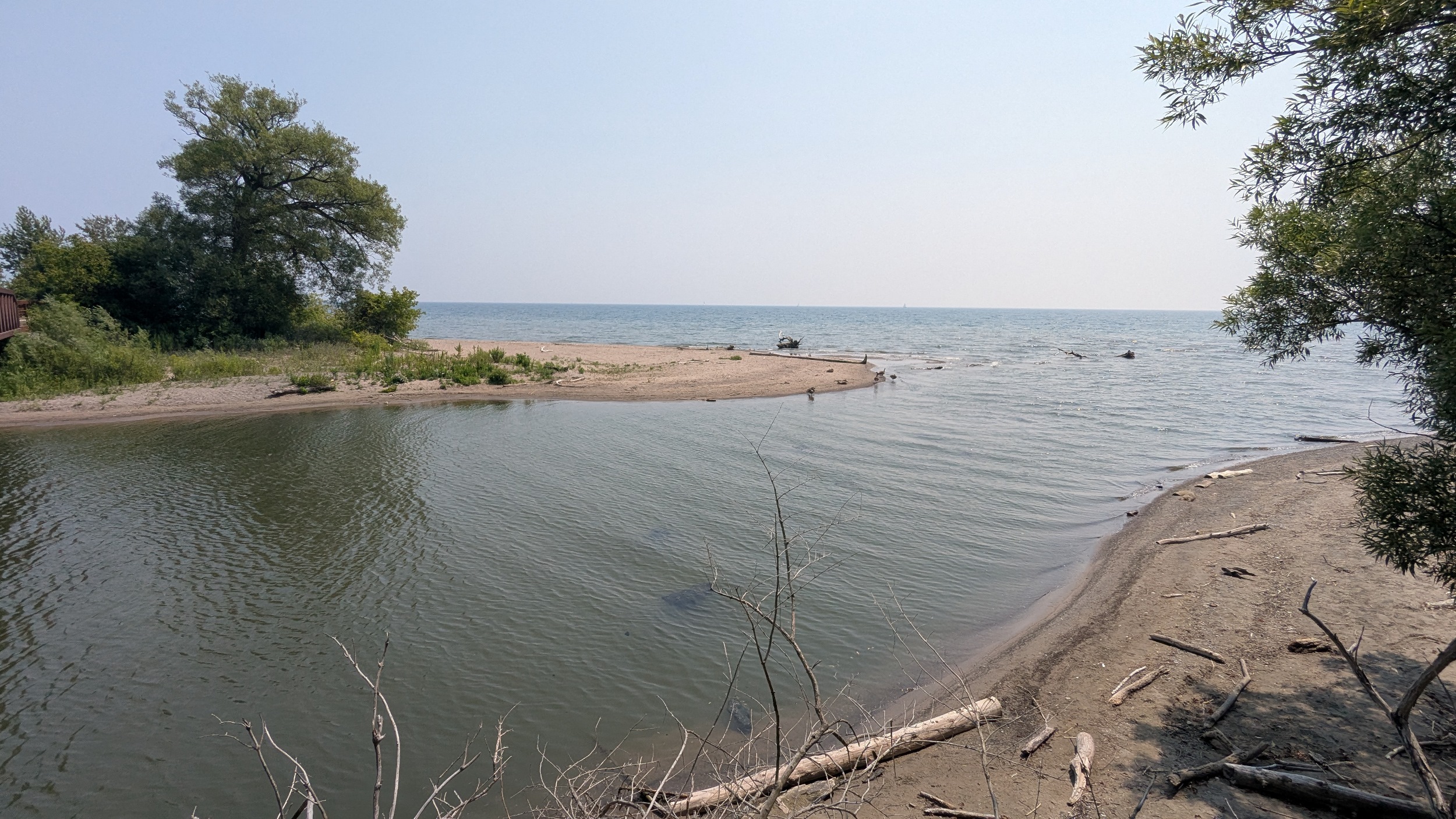
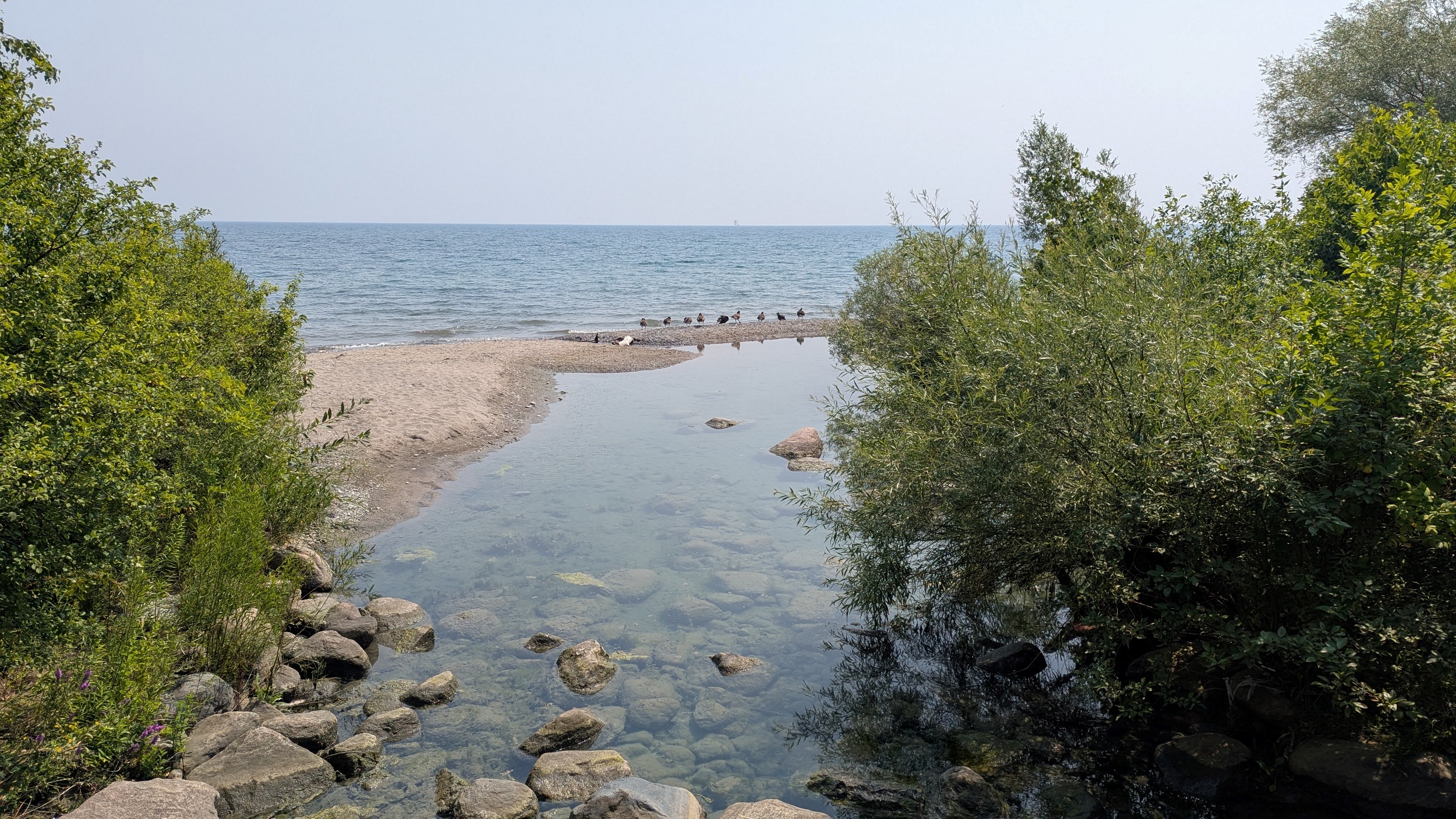
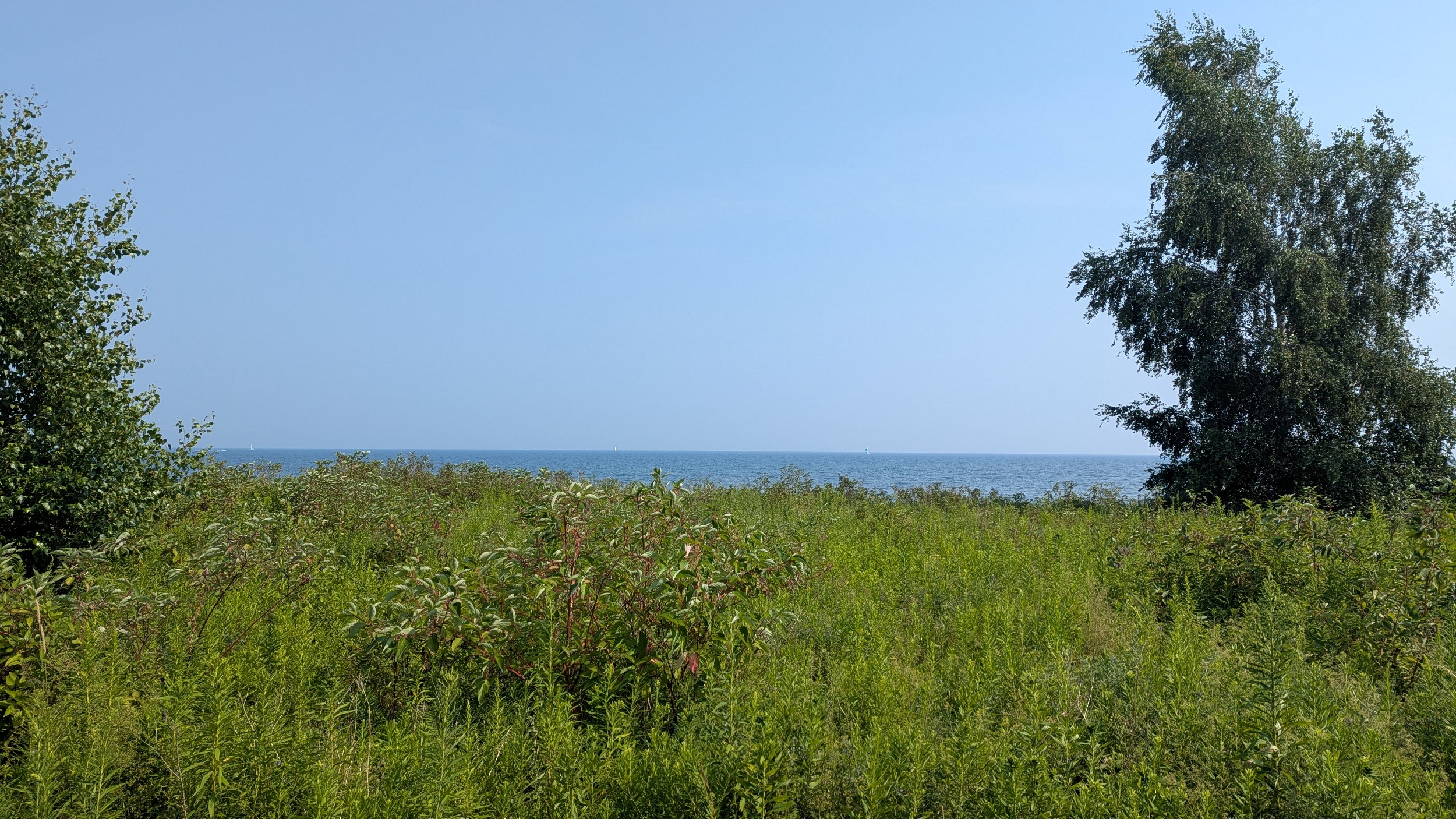
After getting around a couple more properties, you meet the beach along Beachpoint Promenade. This is the southwest corner of Frenchman’s Bay. The view from the west pier confirms that the smoke is still a factor, but I can feel the tussle between the northern inflow and the lake breeze.


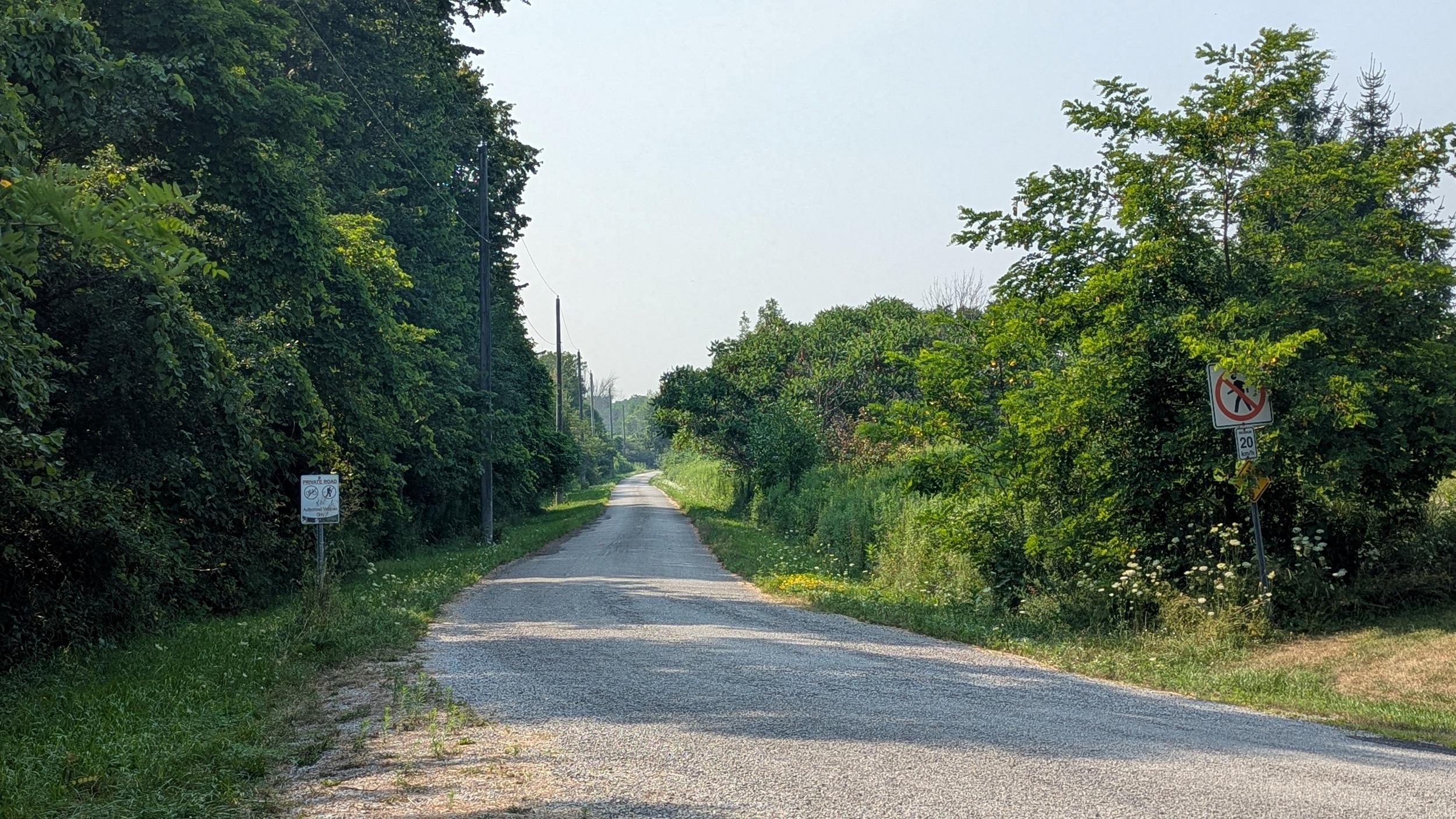
There’s no connection across the gap into Frenchman’s Bay. So it means a large detour up and around via Bayly Street.


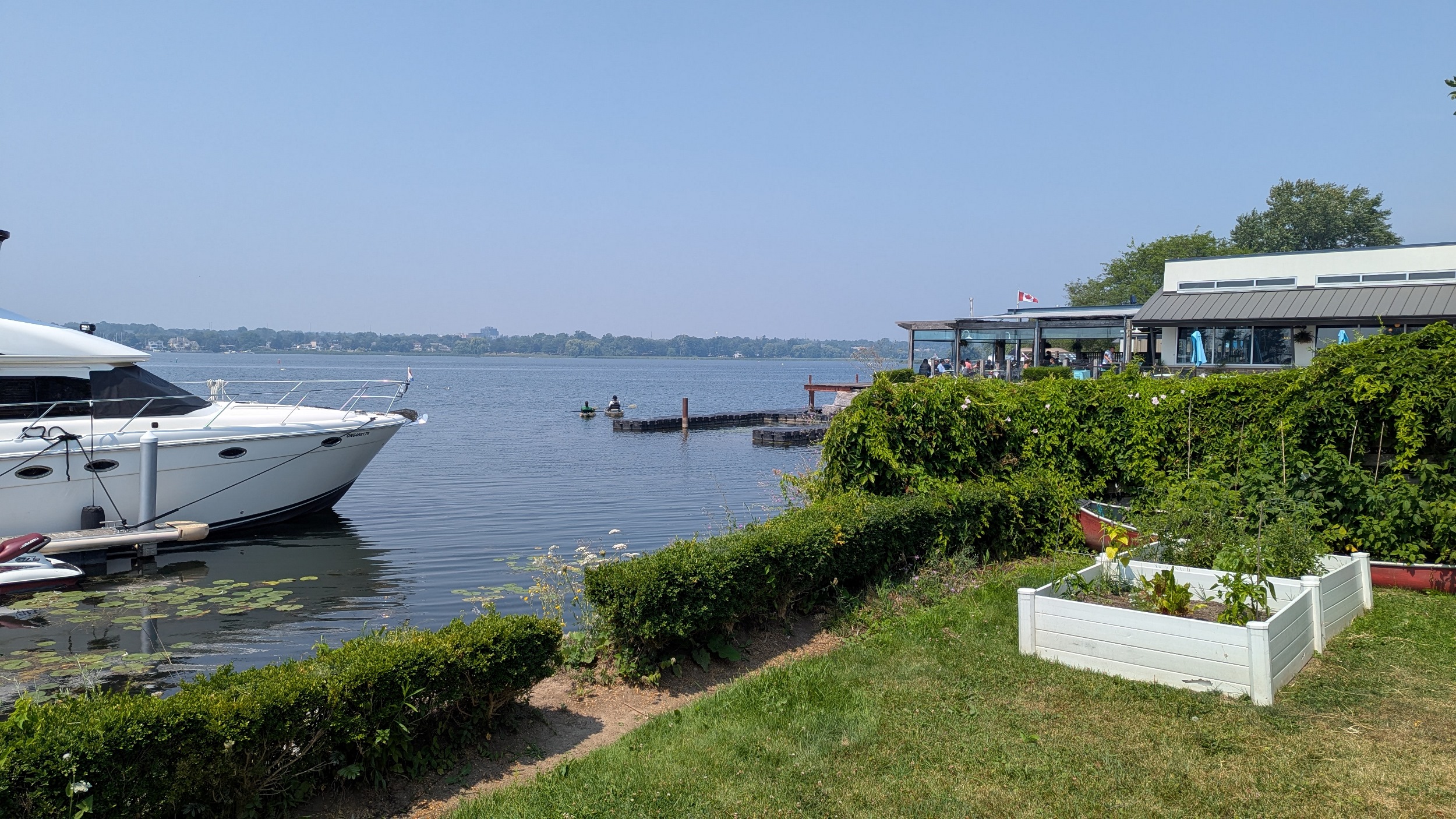
Thought things opened up along the Bay edge south of Commerce Street, but that was an overestimate. There’s a couple points, but it’s still mostly marinas and condos.


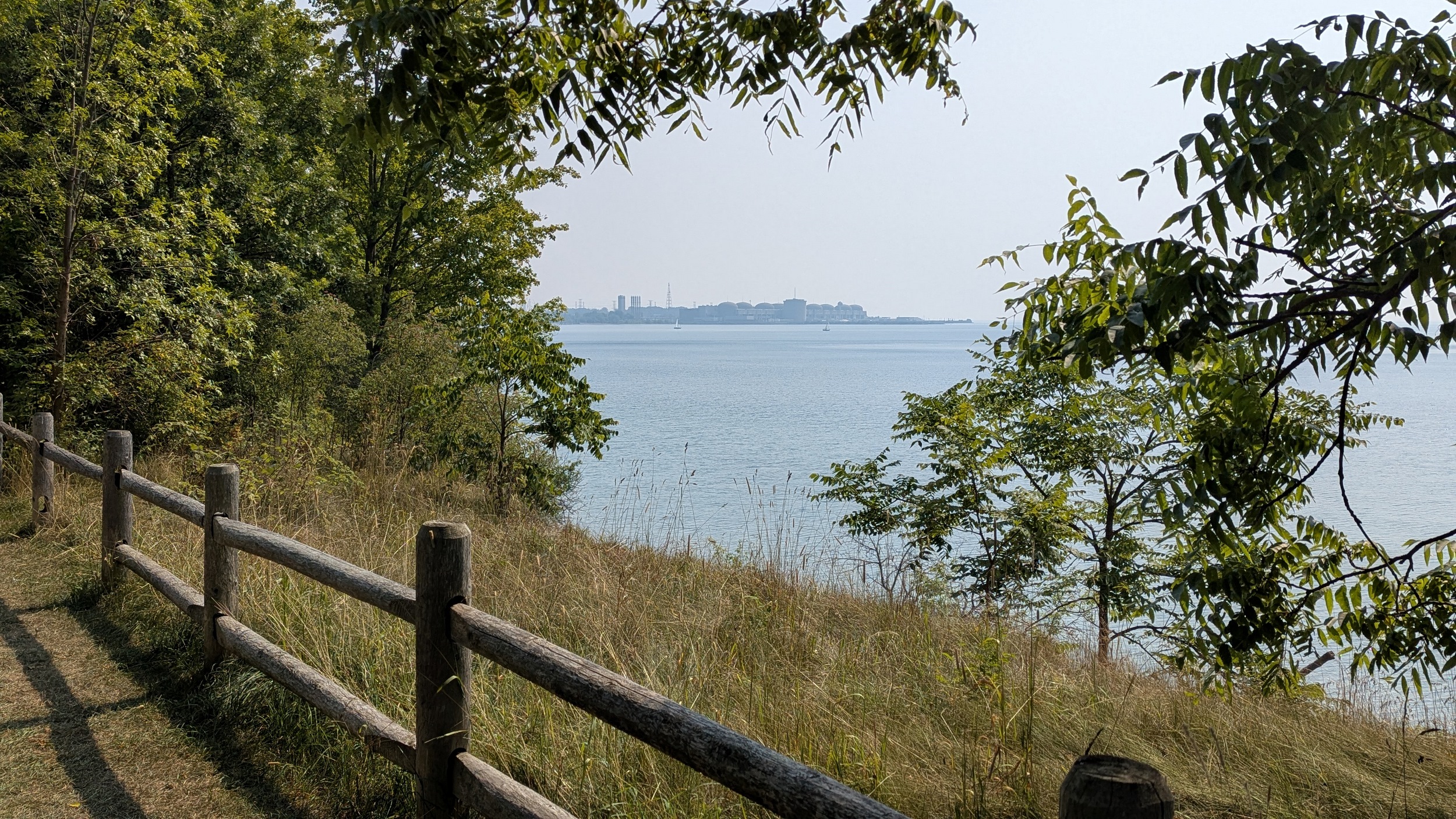
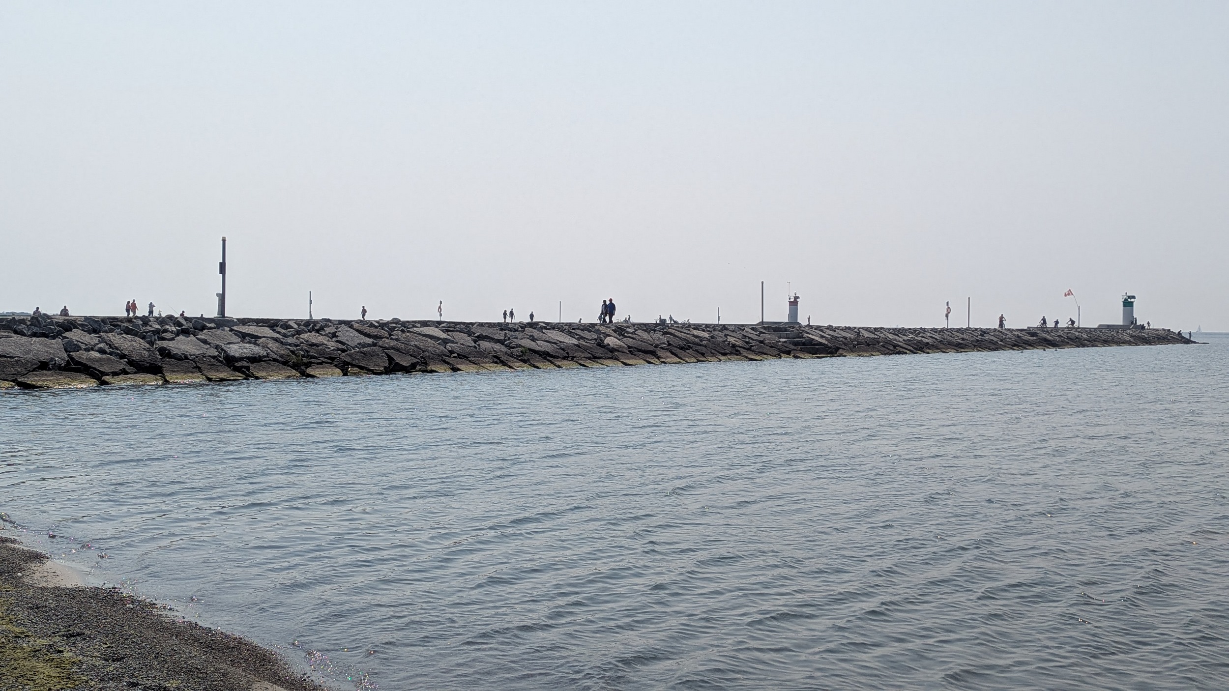
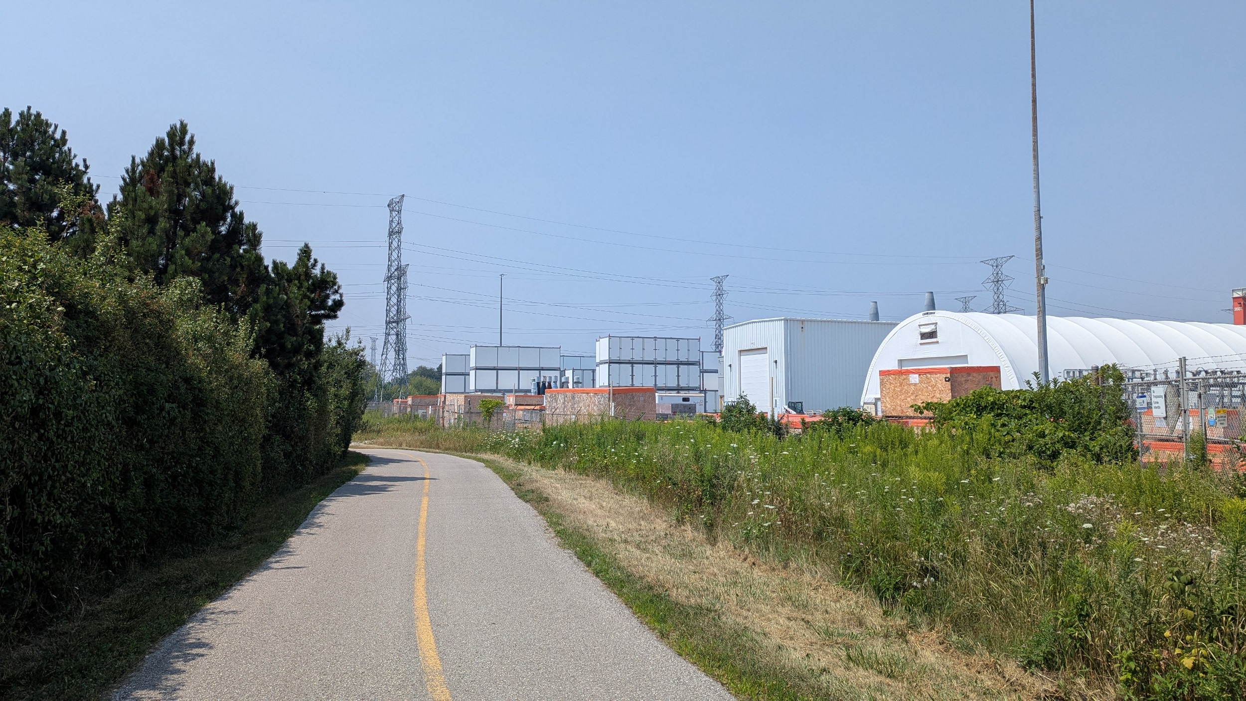
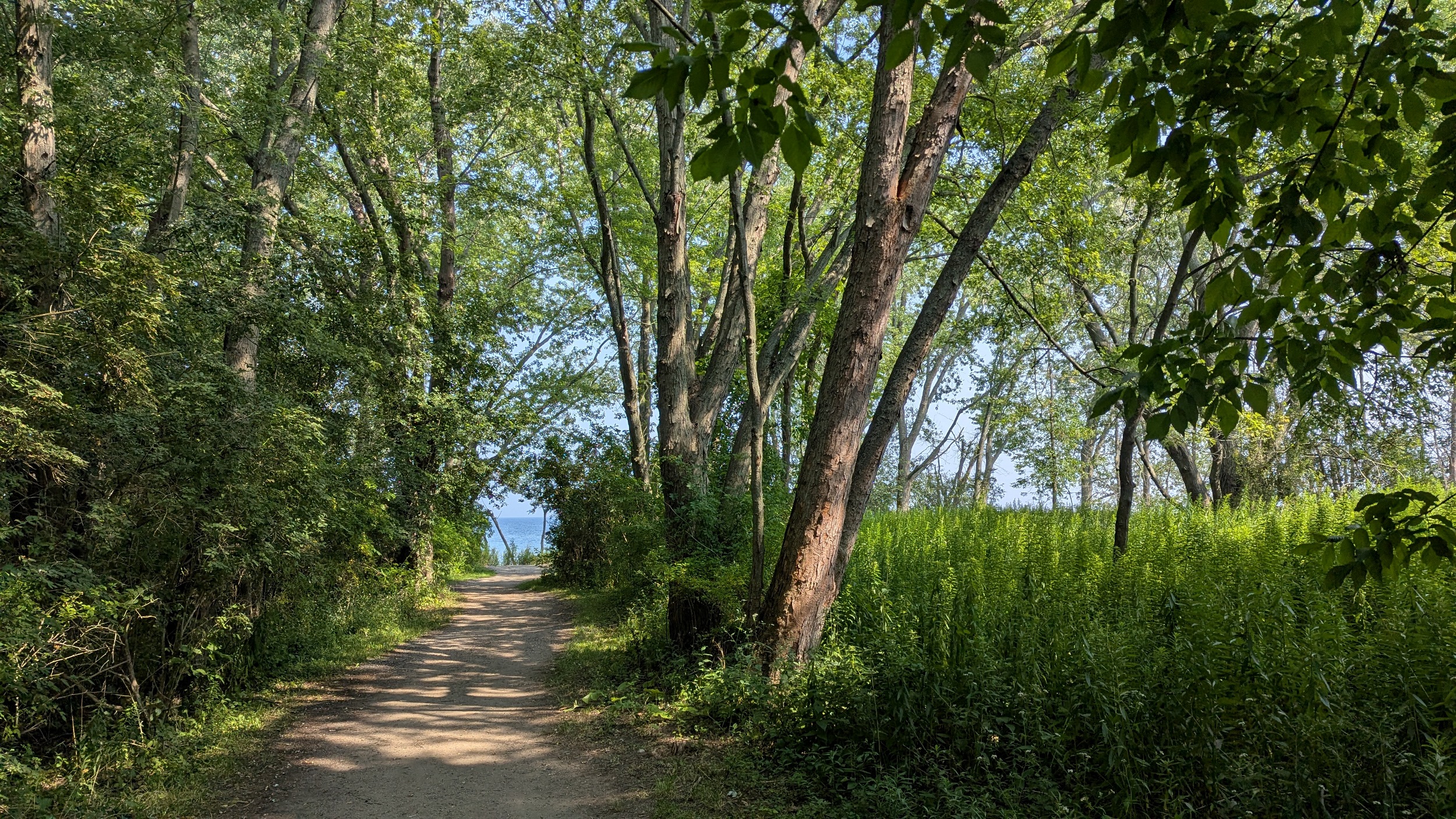
Back at the lake shore. A path leads you all the way out to the east pier, I’m not bothering to go the whole way. A really robust and traffic-separated boardwalk leads you out to the nuclear plant.


At the end Beachfront Park, you reach the fences of the Pickering Nuclear Generation Station. You get push around it to the north, but it’s all via a formal trail. You reach the shore again at the end of Montgomery Park Road.


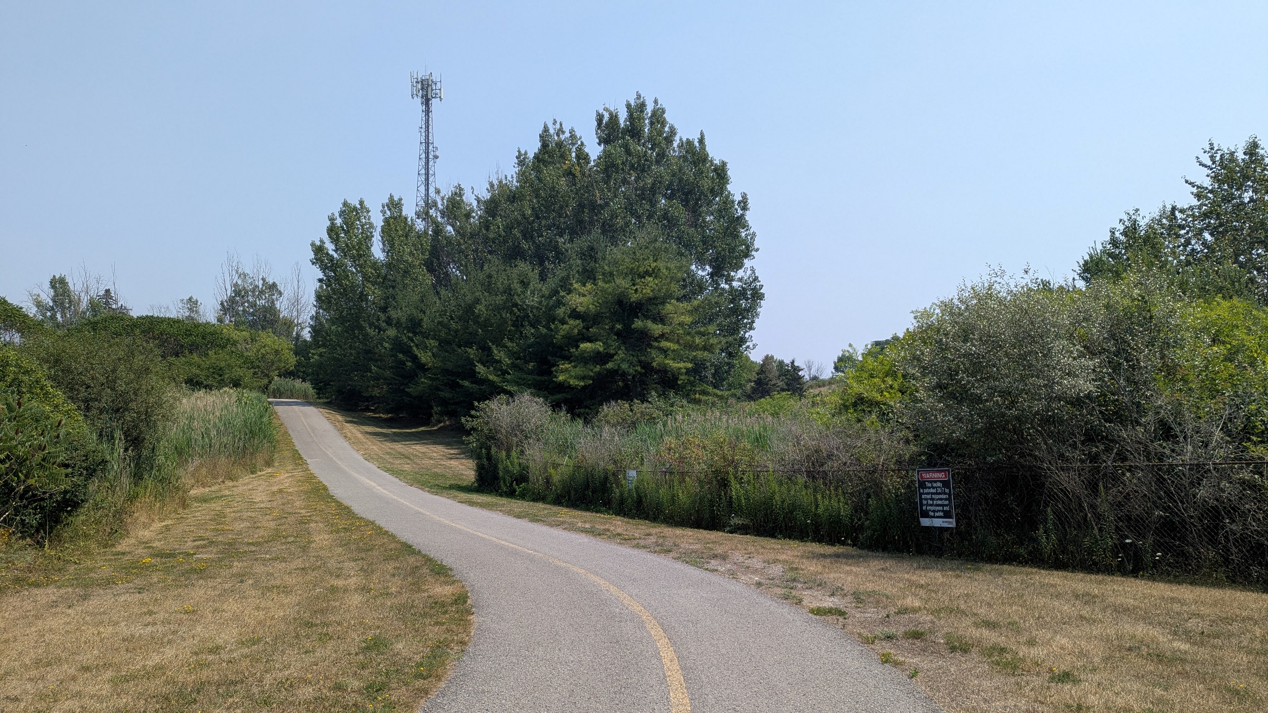
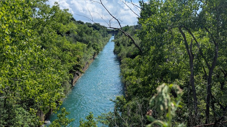
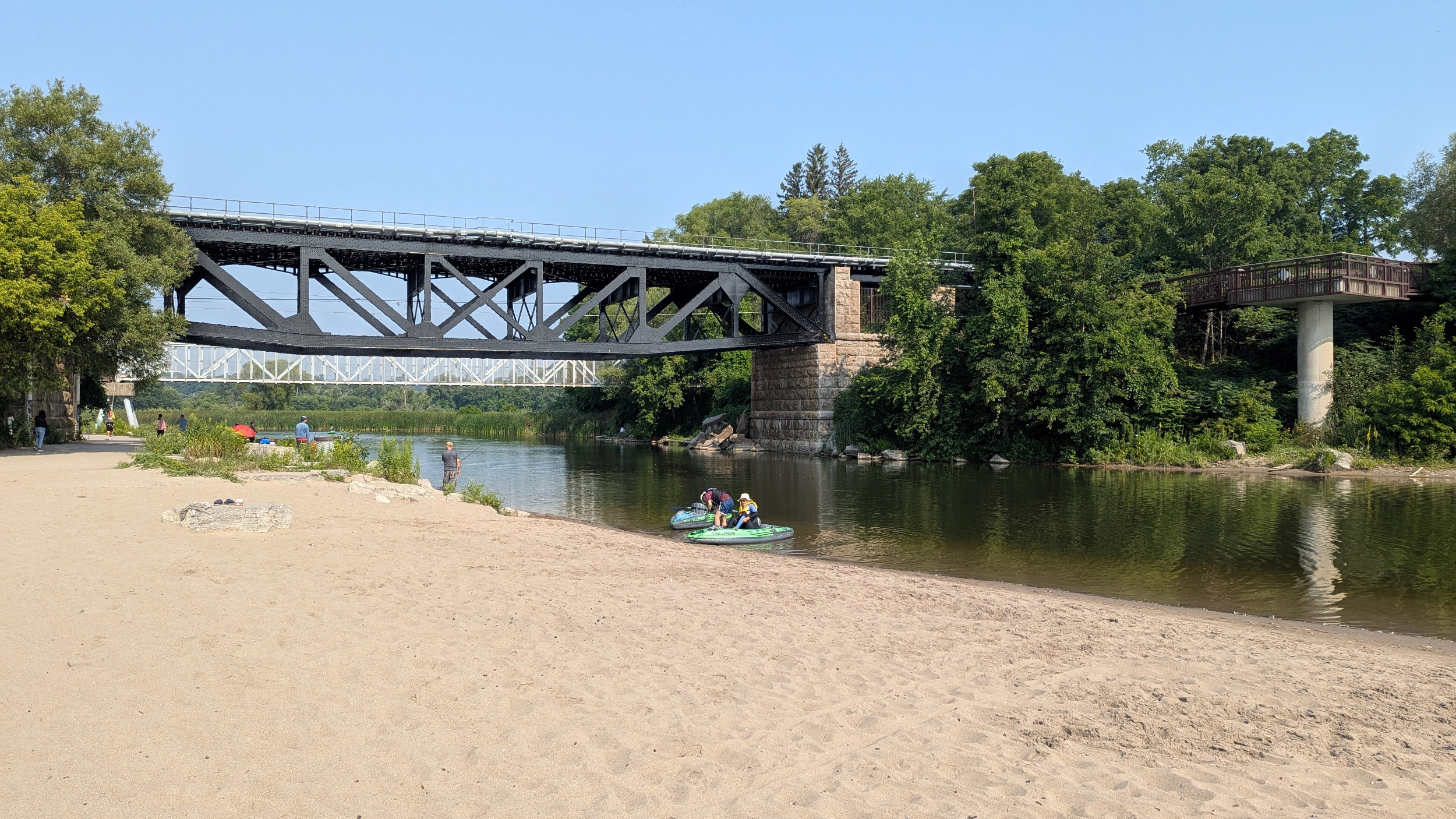
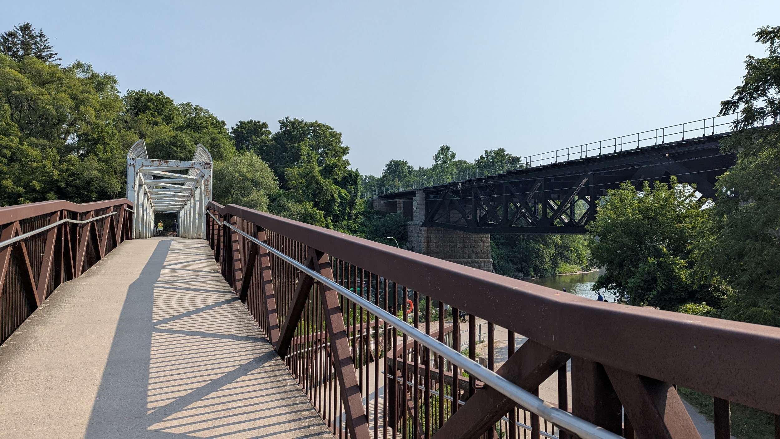
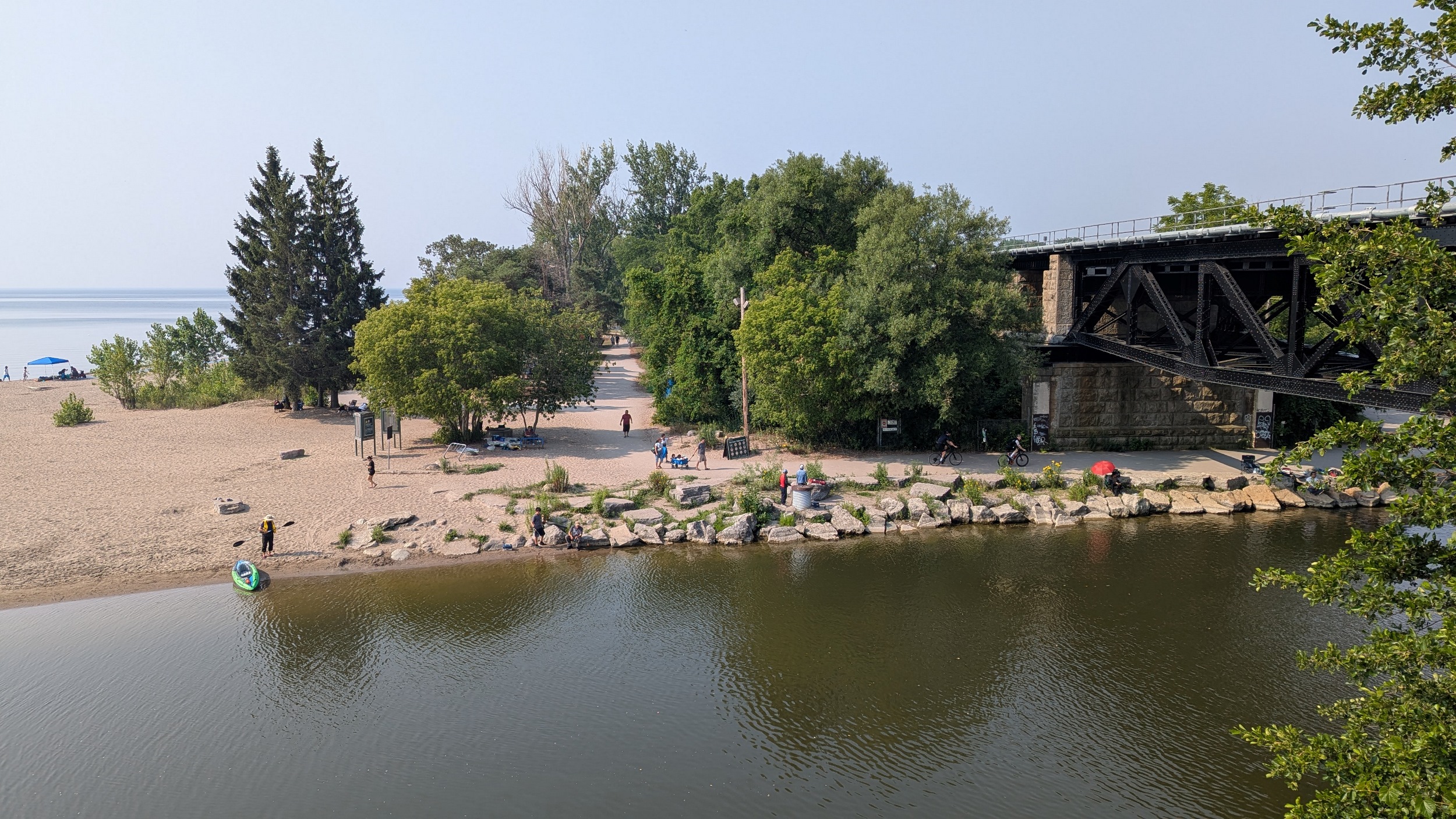
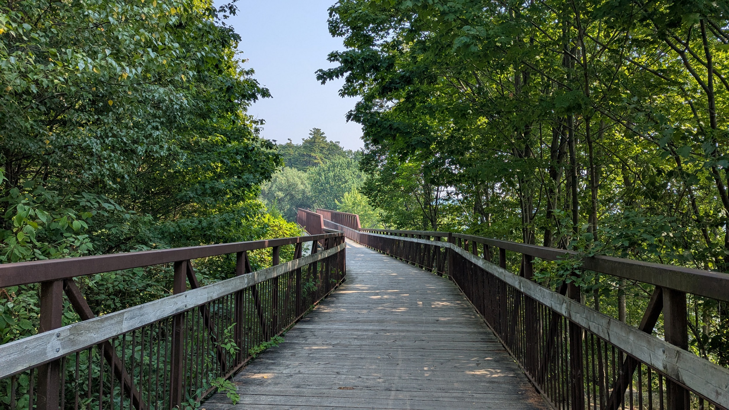
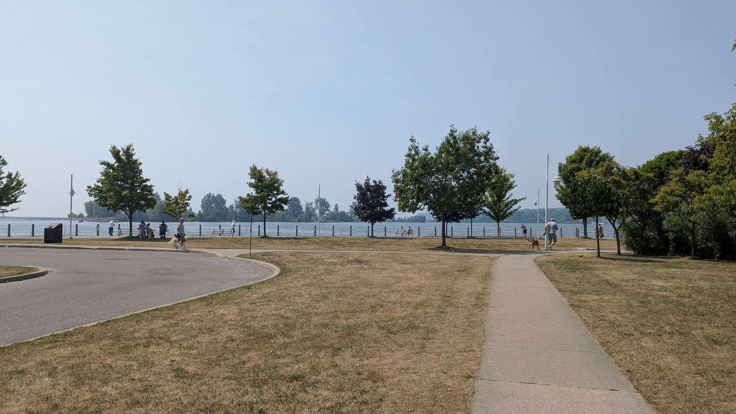
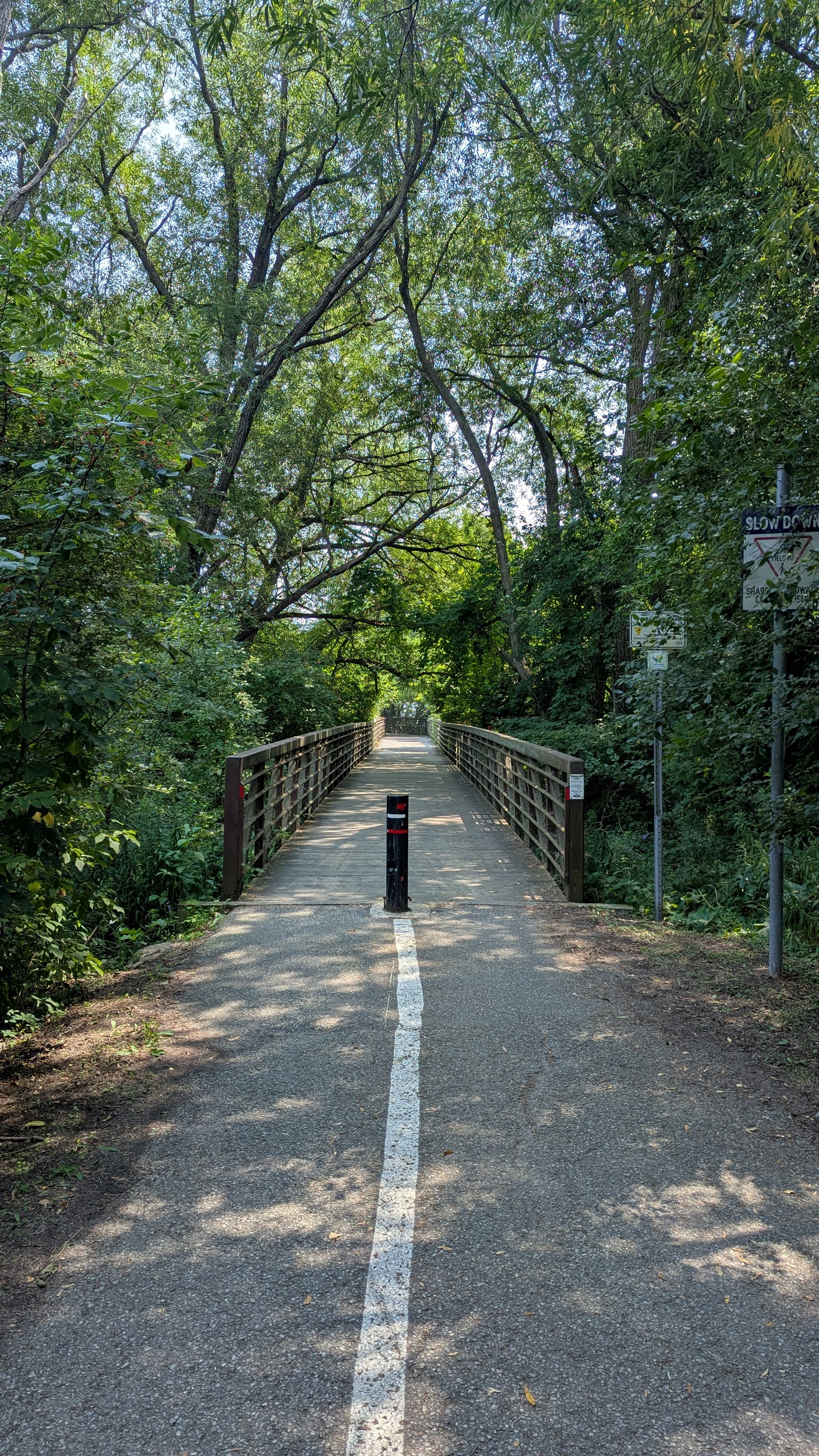
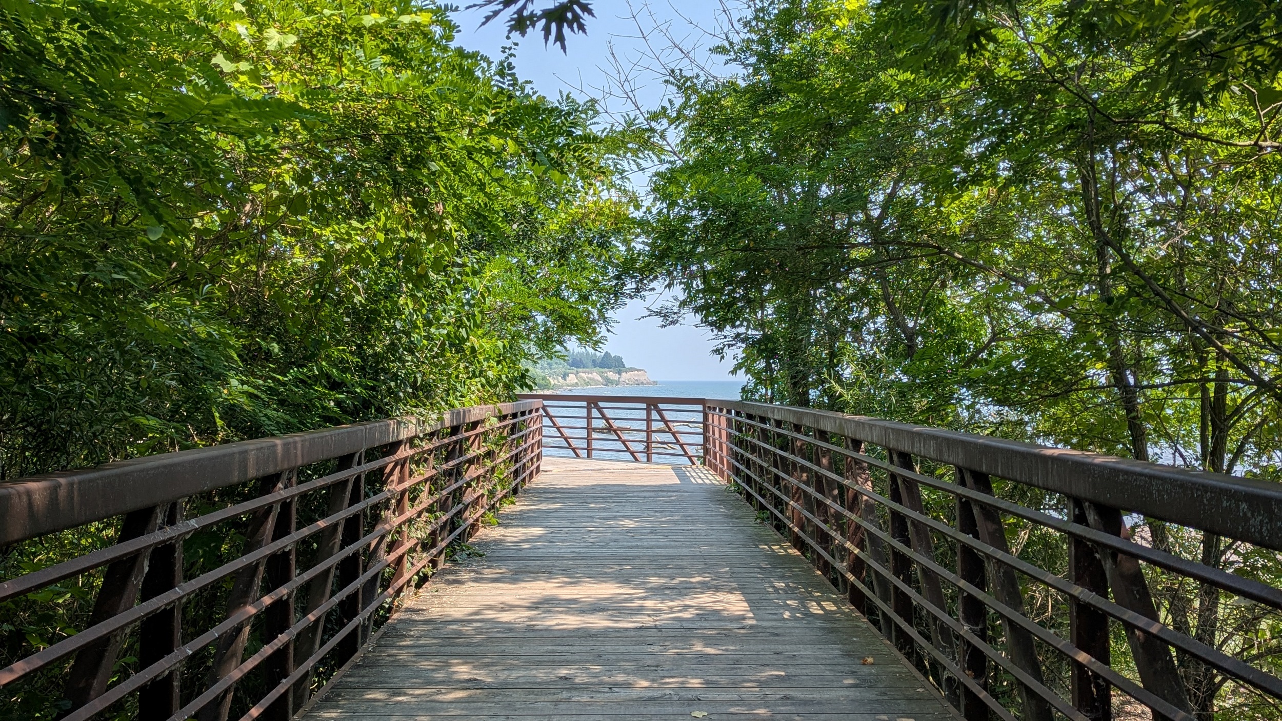
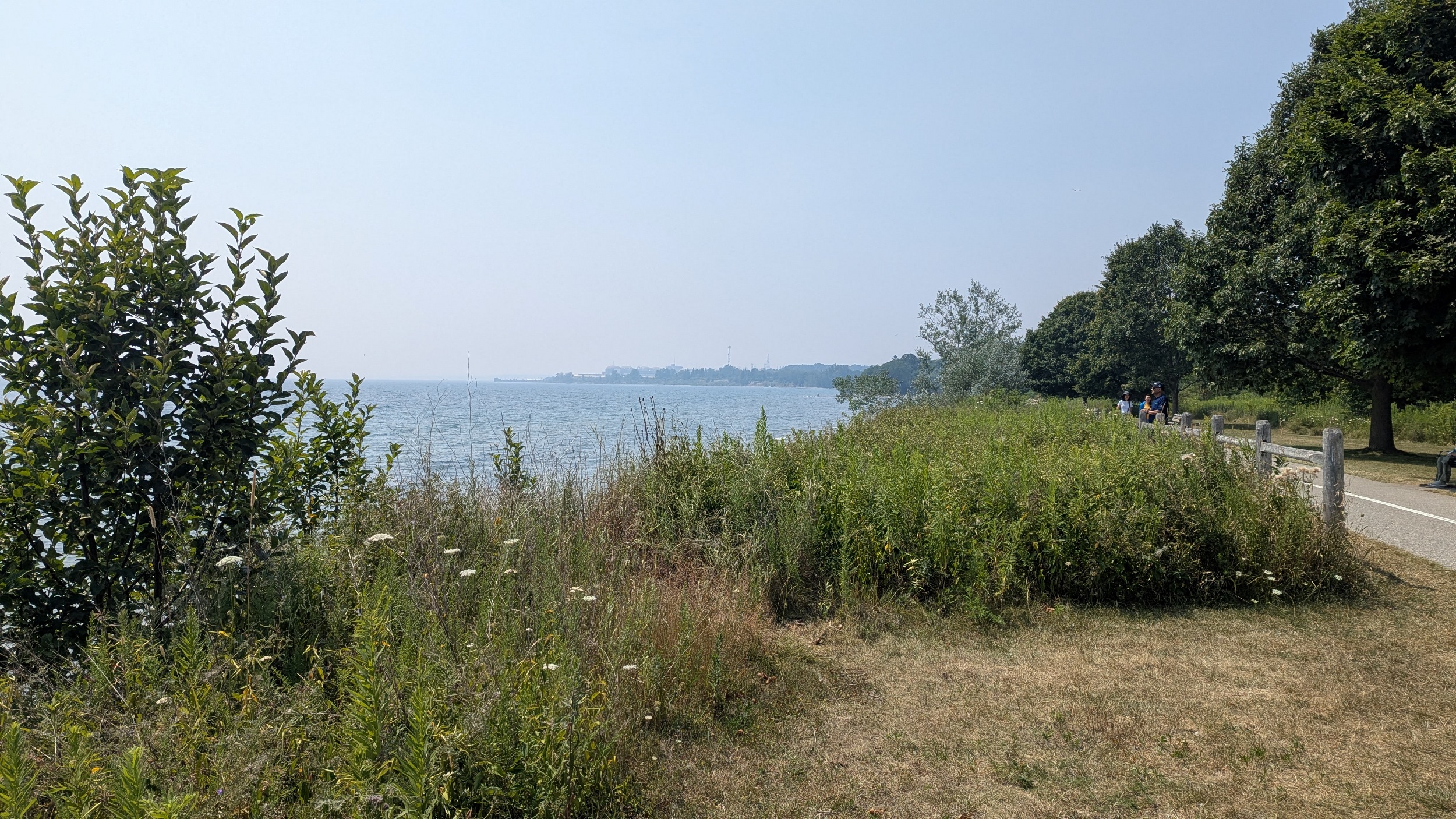
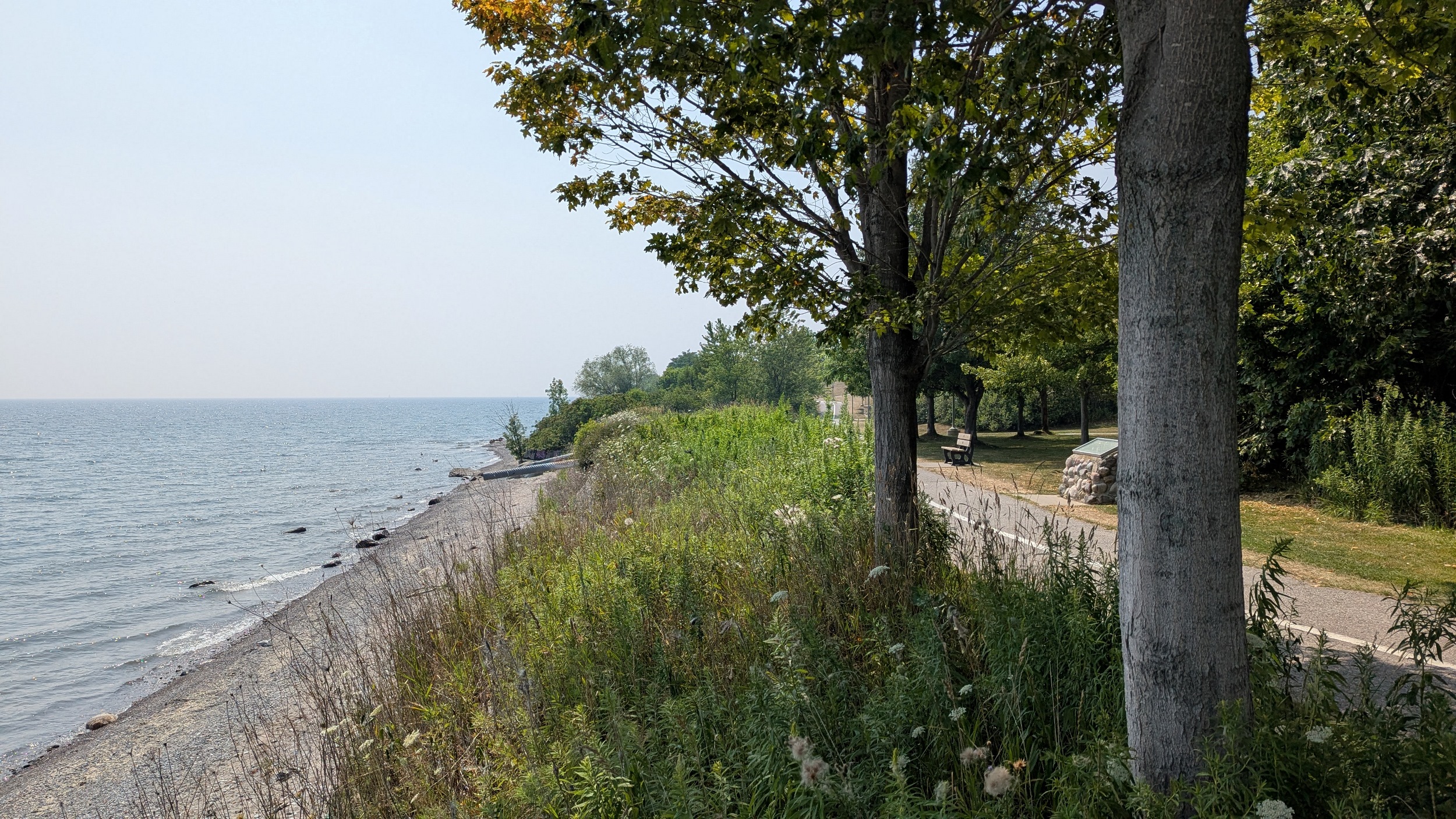
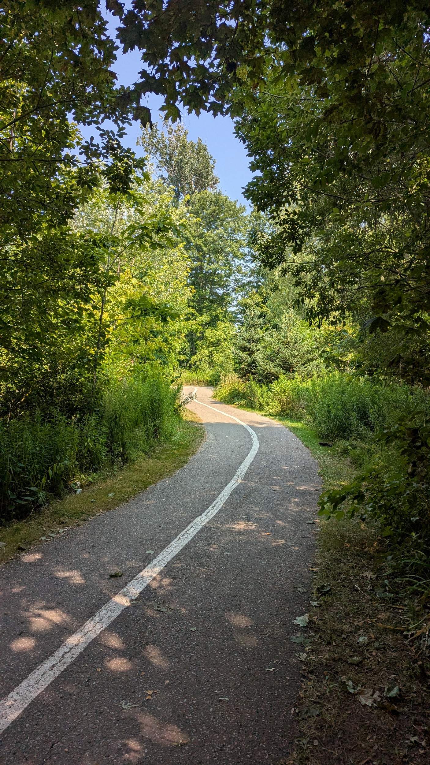
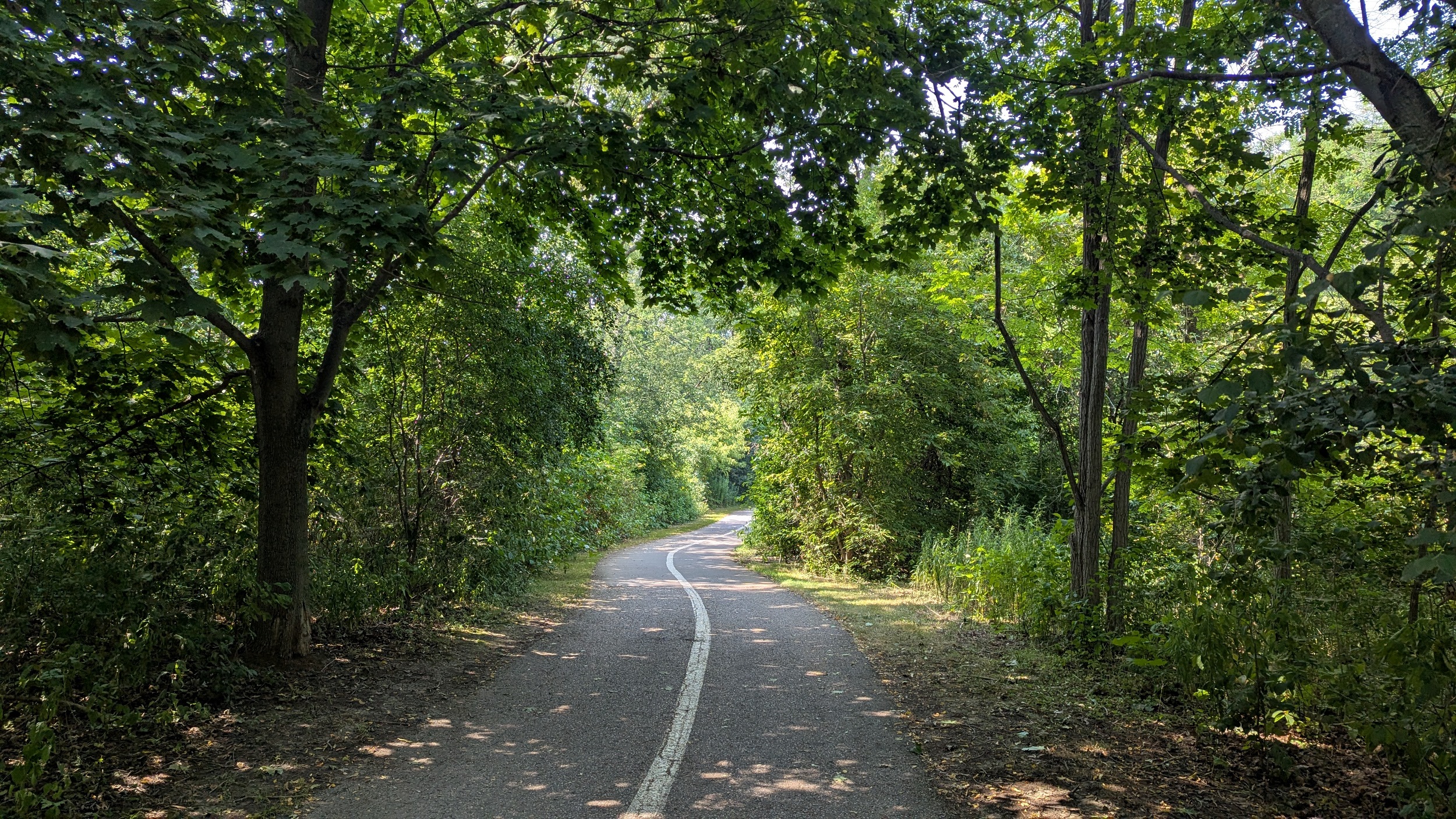
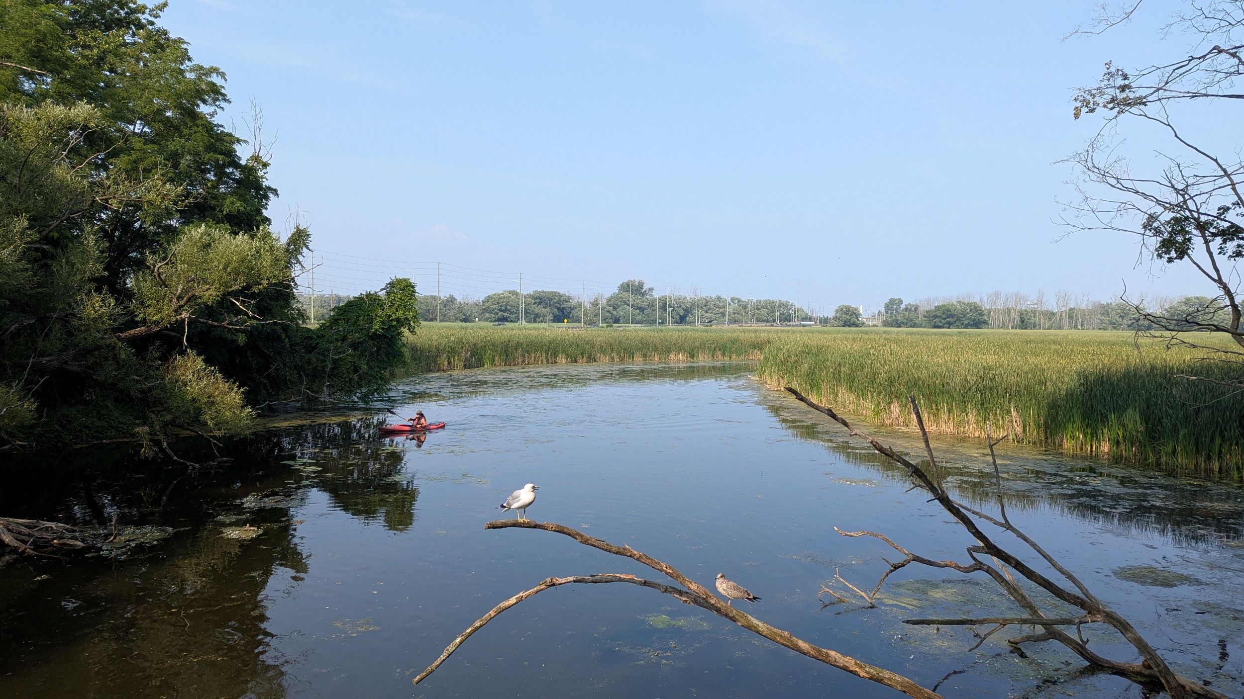
The Waterfront Trail continues into Ajax. Lots of benches around on the trail and near the bluff. Then a very long and excellent boardwalk carries you over Duffins Creek and its wetlands.


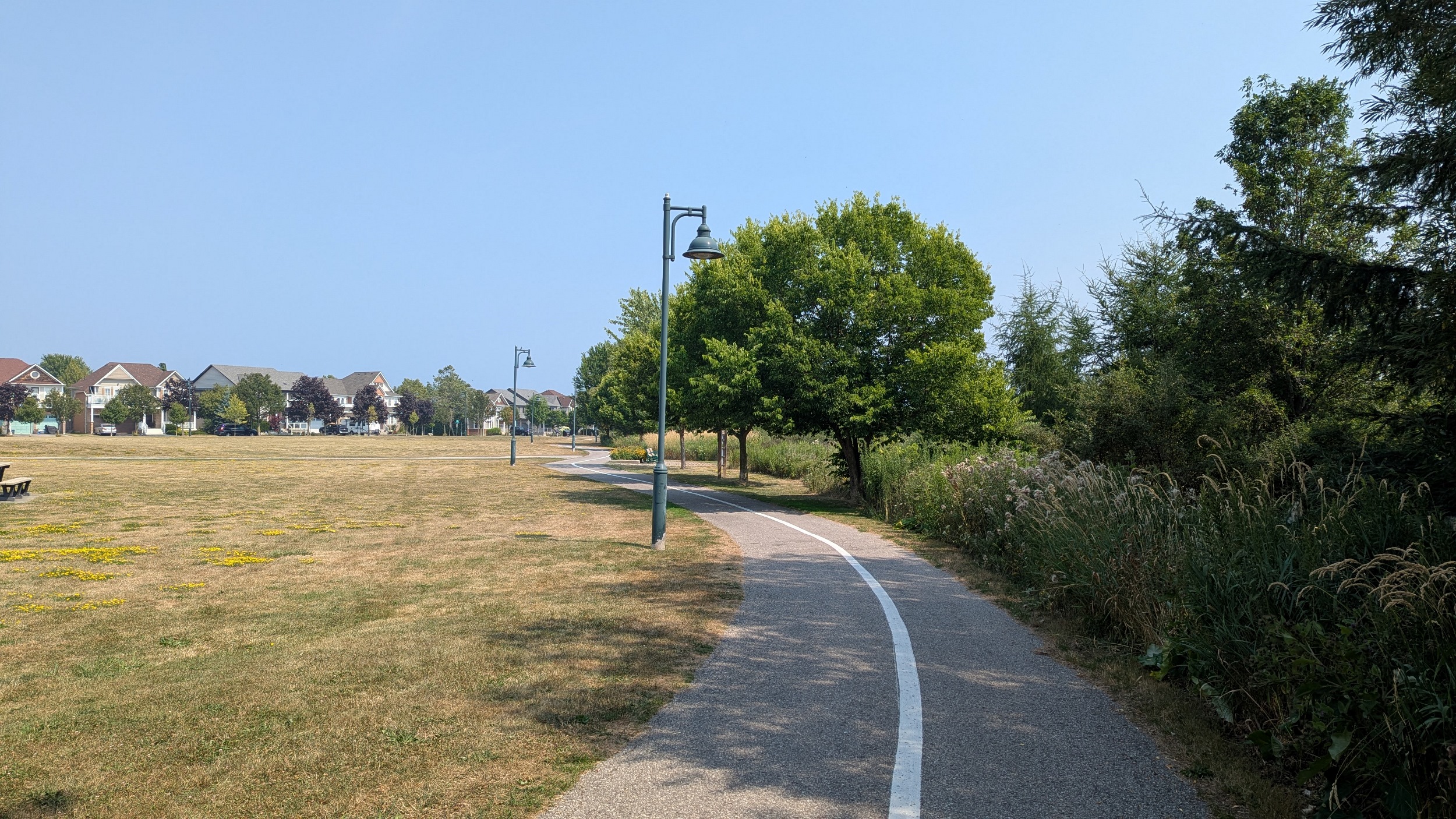
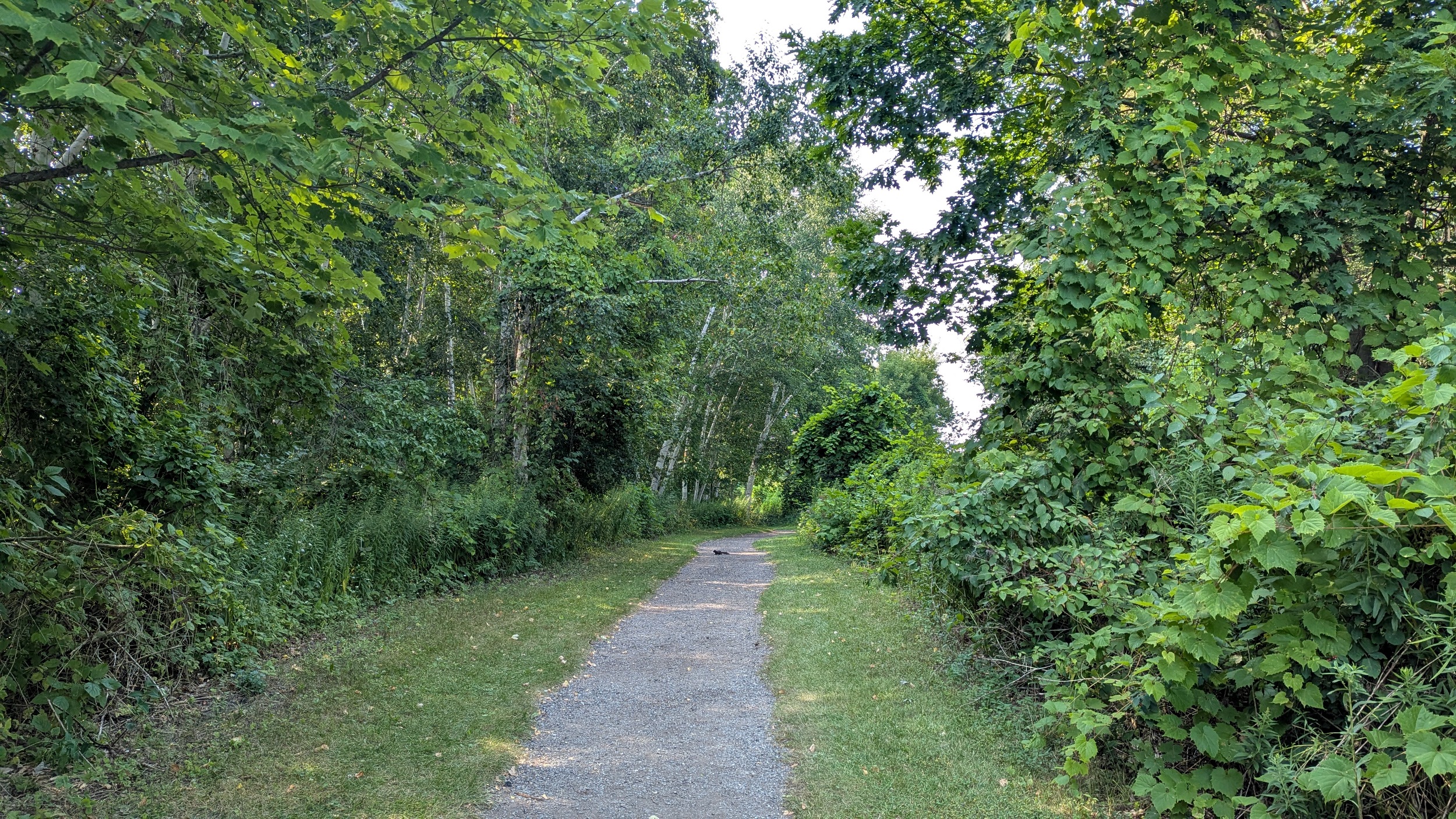
Through Ajax’s Waterfront Park, with a solid trail, benches, lots of trees and plentiful open space. Top marks for a pavilion with cold treats for sale, and free public washrooms and fountains close to the waterfront trail. That said, it’s hot and exposed. It’s fine when the lake breezes are coming over the bluff to cool you, but there’s some stagnant sections that’ll bake you if you aren’t under a tree.

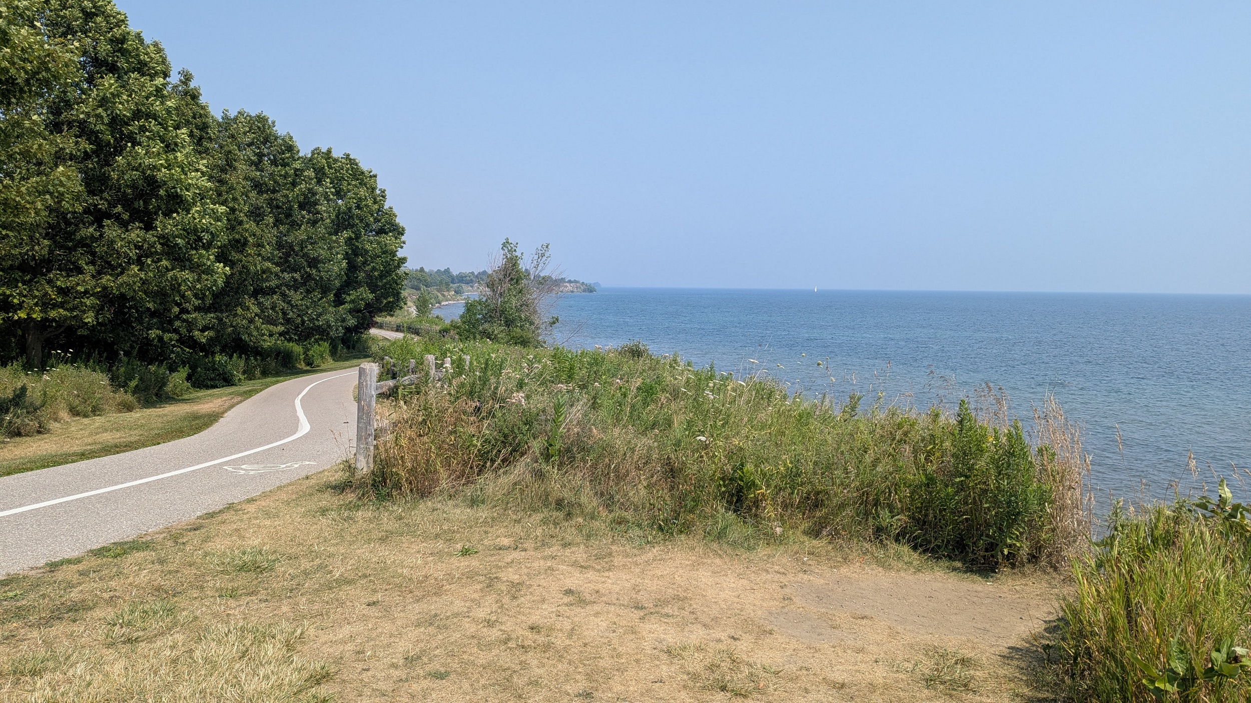


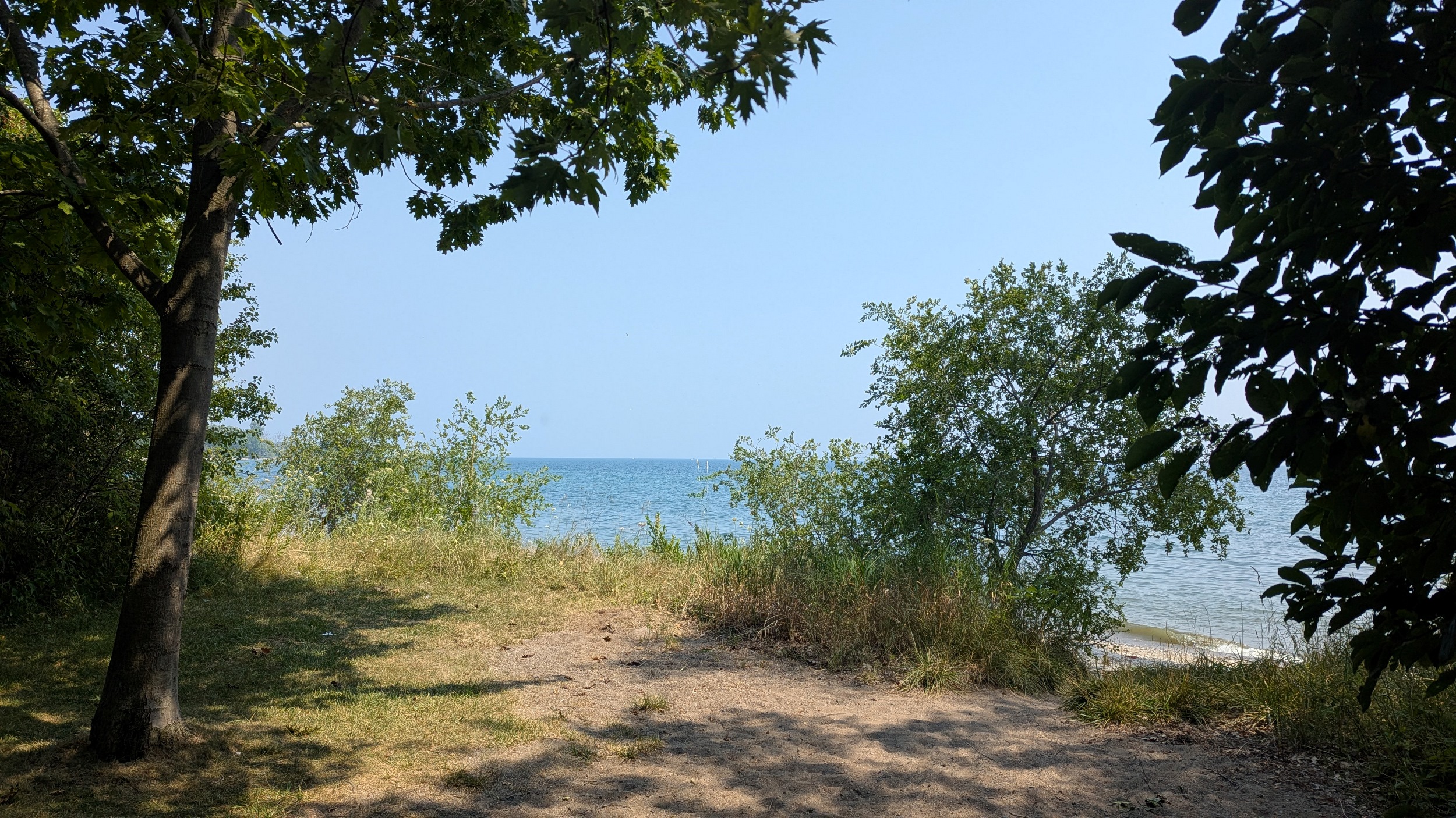
Now into Paradise Beach where the trail splits, separating active and passive traffic. Not as effective when the surface treatment is the same, but good effort. The third option is the beach, now accessible as you’re not up on a bluff. A private property ends the pursuit at Shoal Point Road.


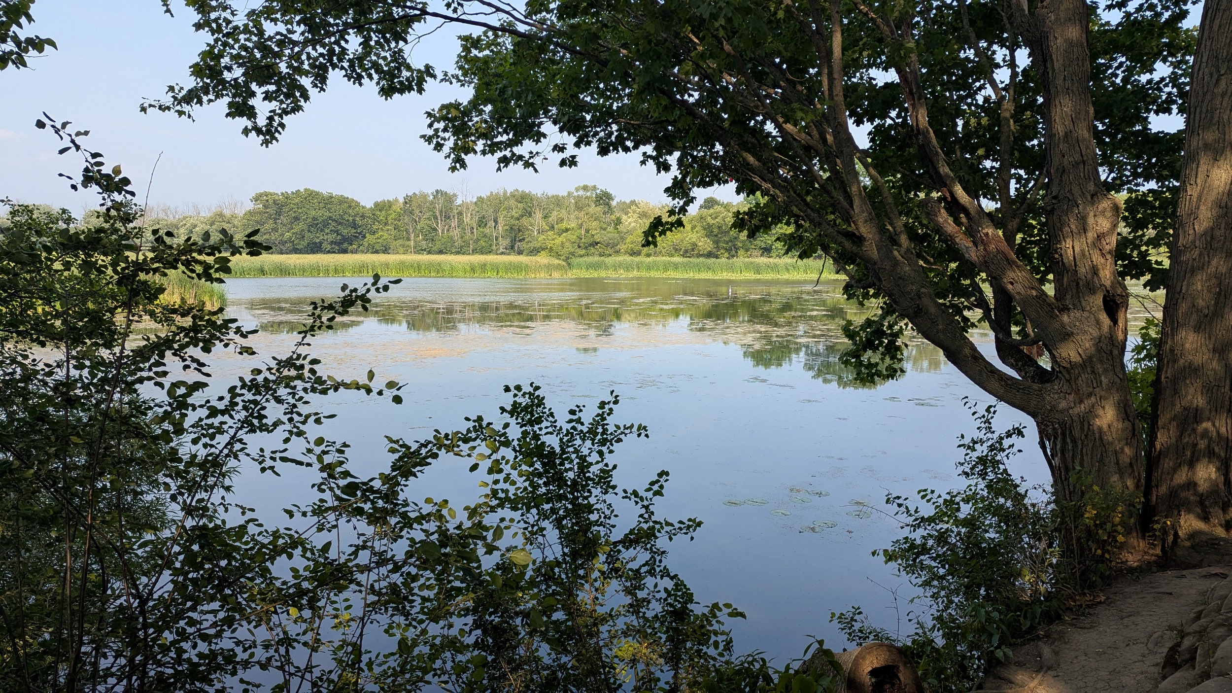
As there’s no public link, it’s another detour around a bay (not as big though), this time to get around Carruthers Marsh. I’m not thrilled about detours, but appreciate when they’re tolerable. Another staffed pavilion makes for a good respite.
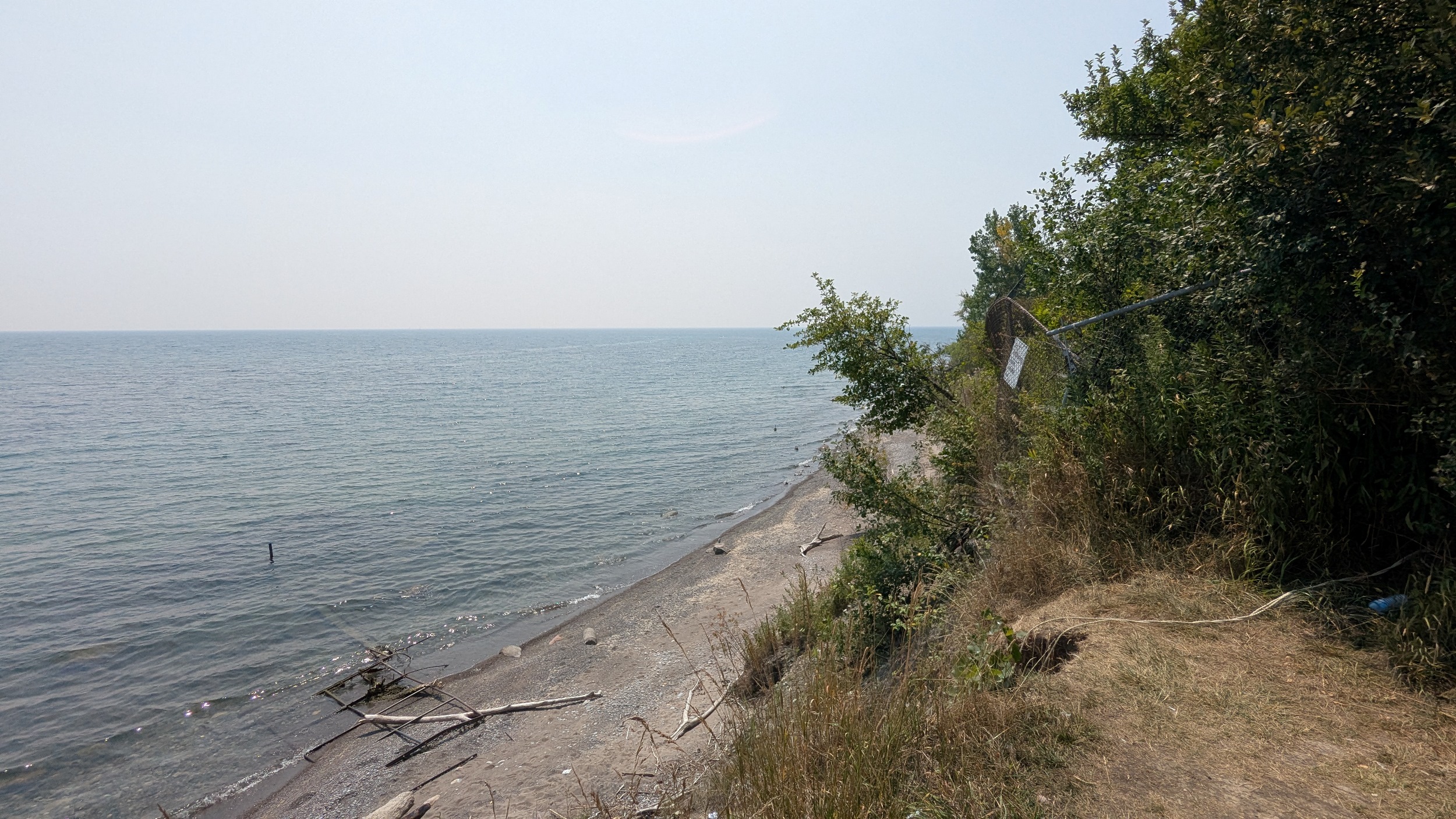
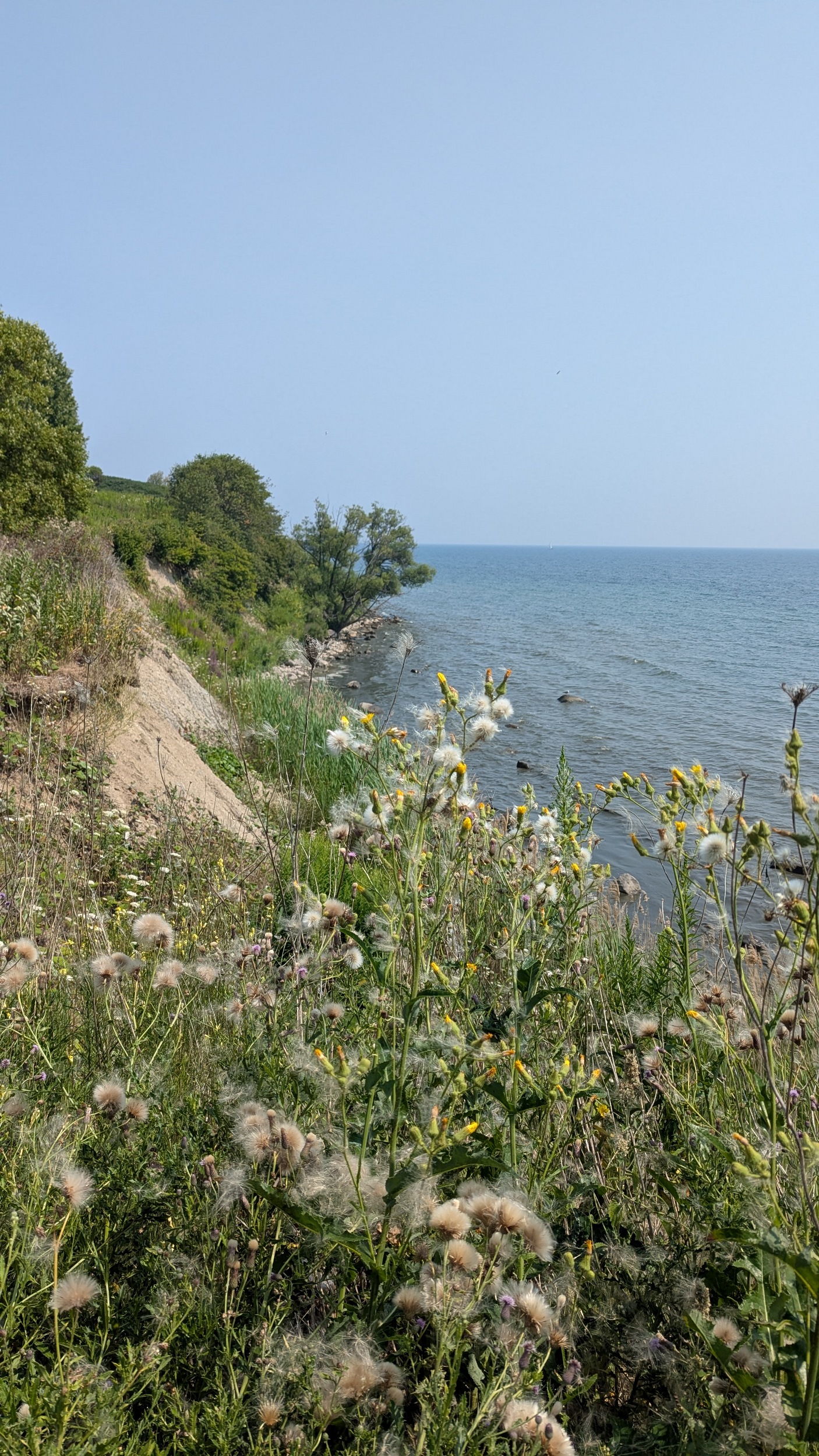
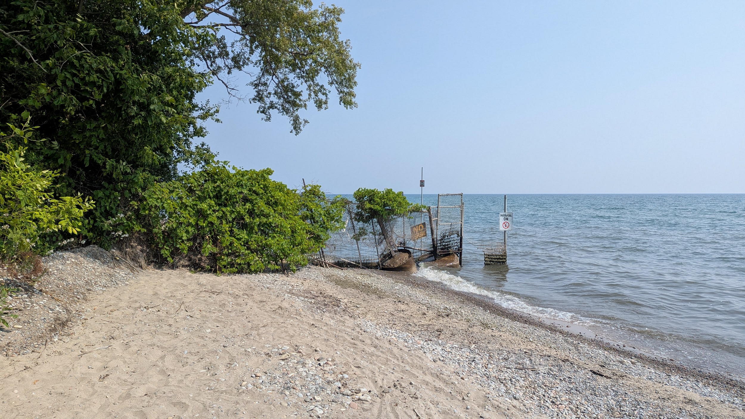
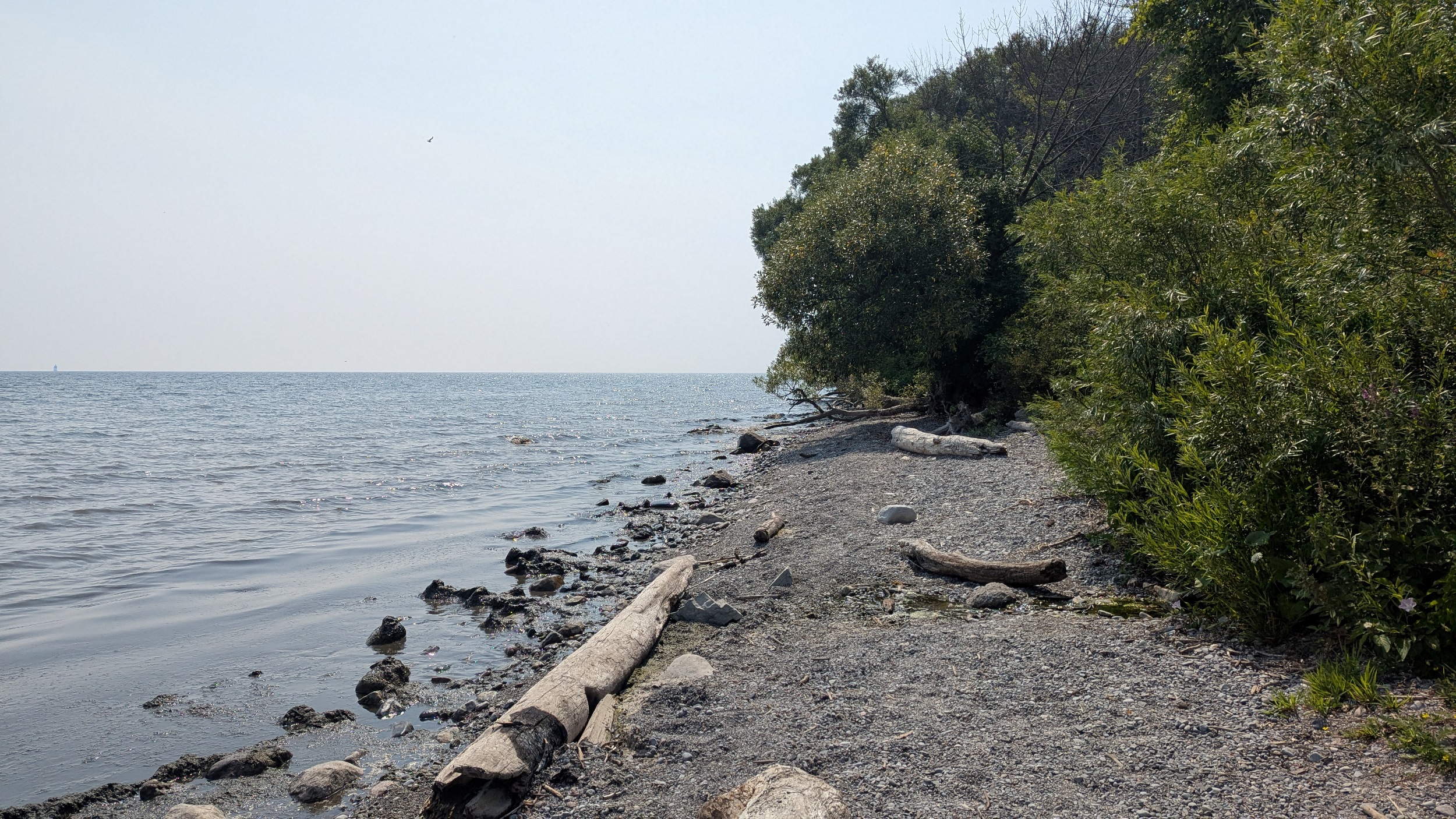
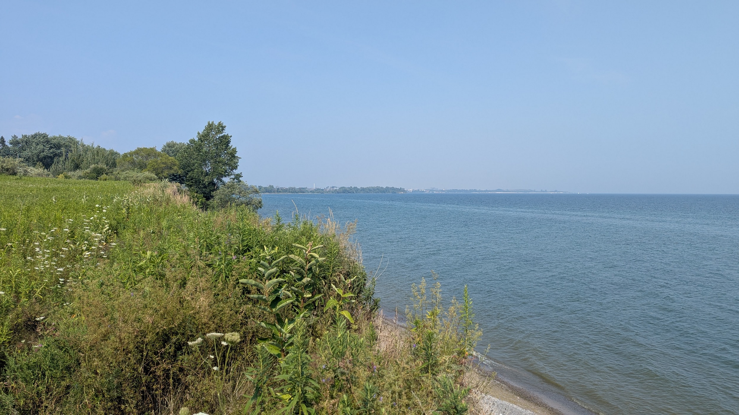
Back to the shore, which is mucky on one side, and eroding on the other. A windy trail leads you up on the bluff until dumping you onto Ontoro Boulevard.


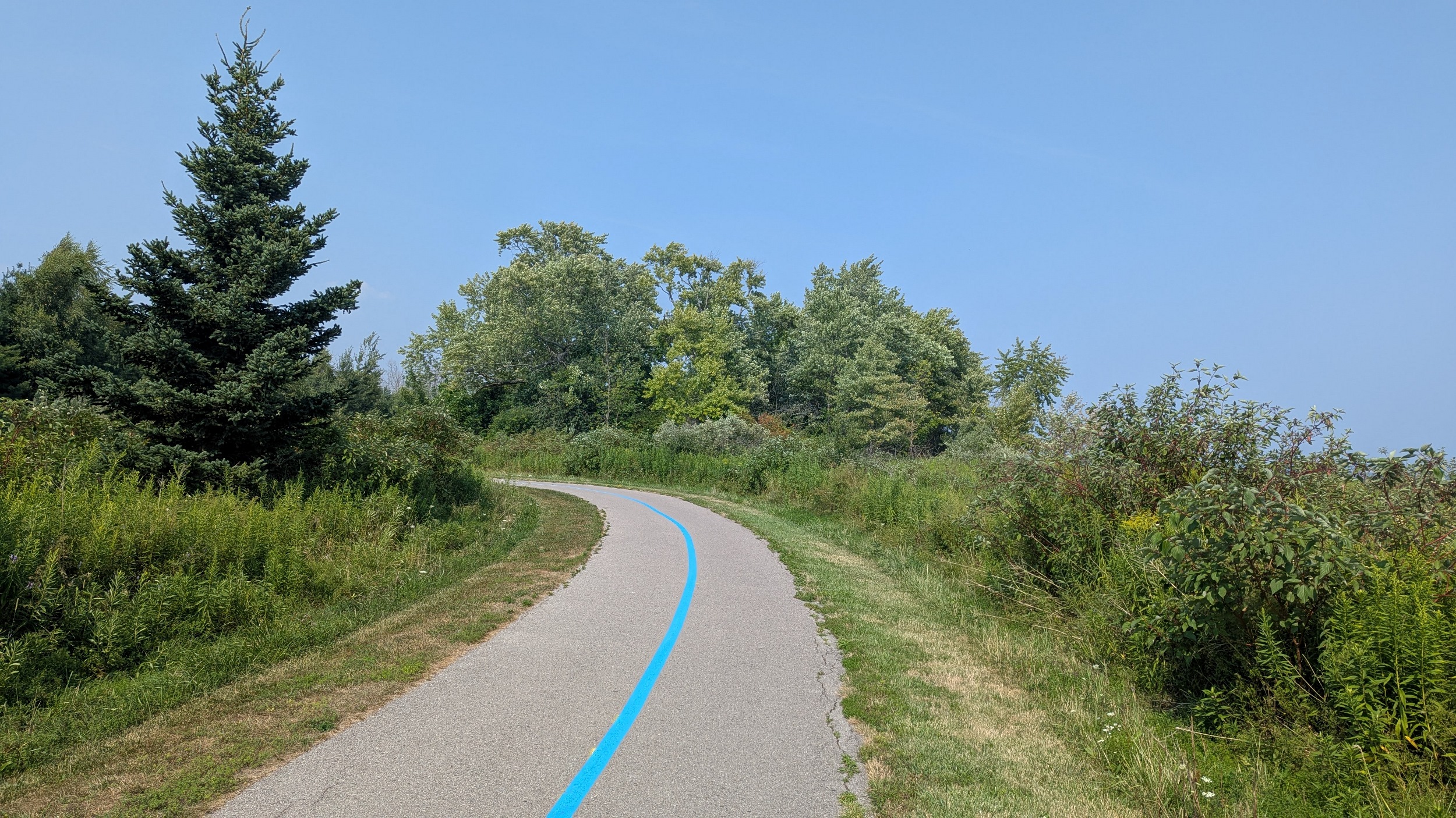
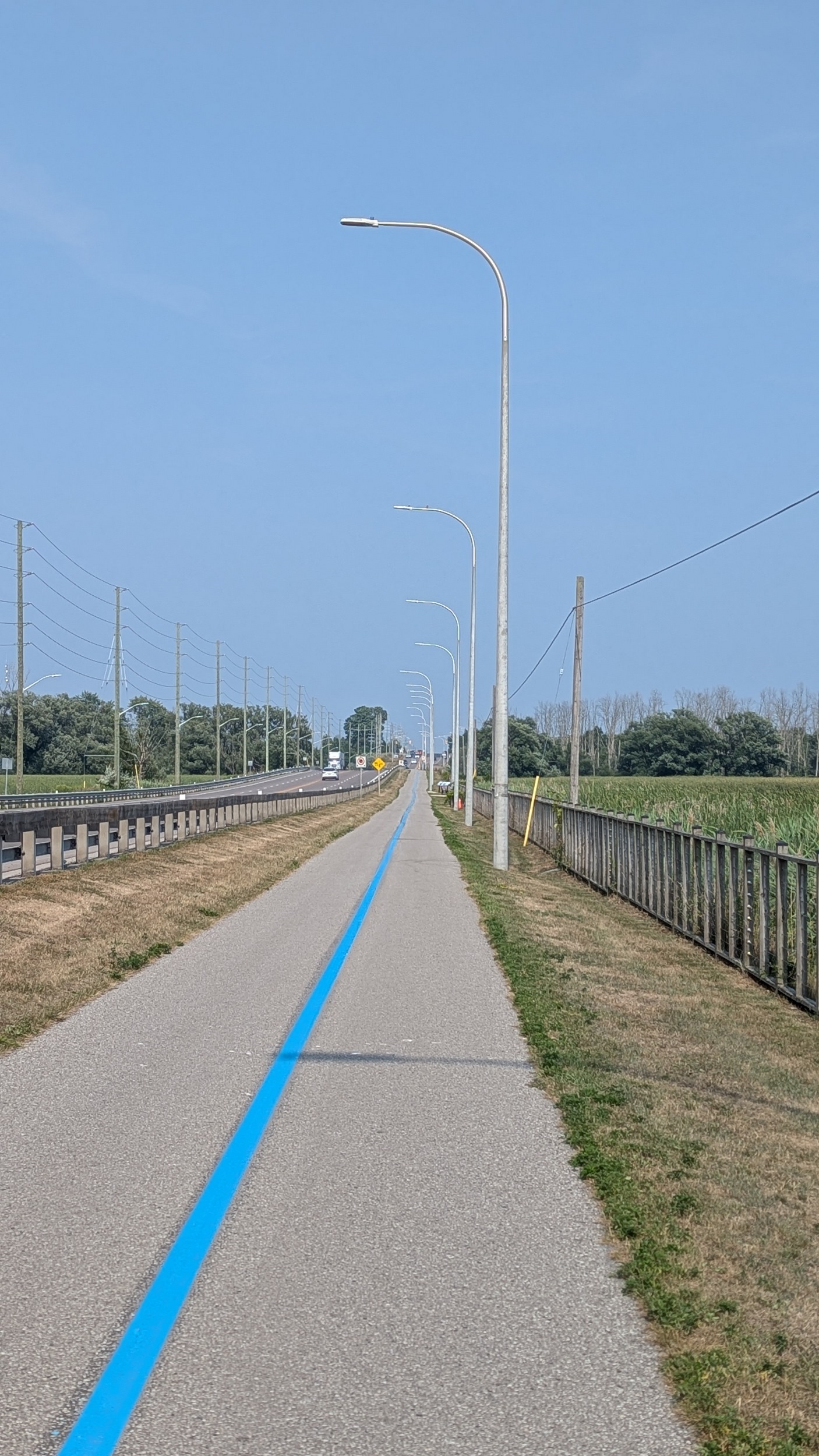
Past the row of houses, you enter the southwest corner of Lynde Shores Conservation Area. The bold blue strip leads you higher and higher to a parking lot at the end of Halls Road South.


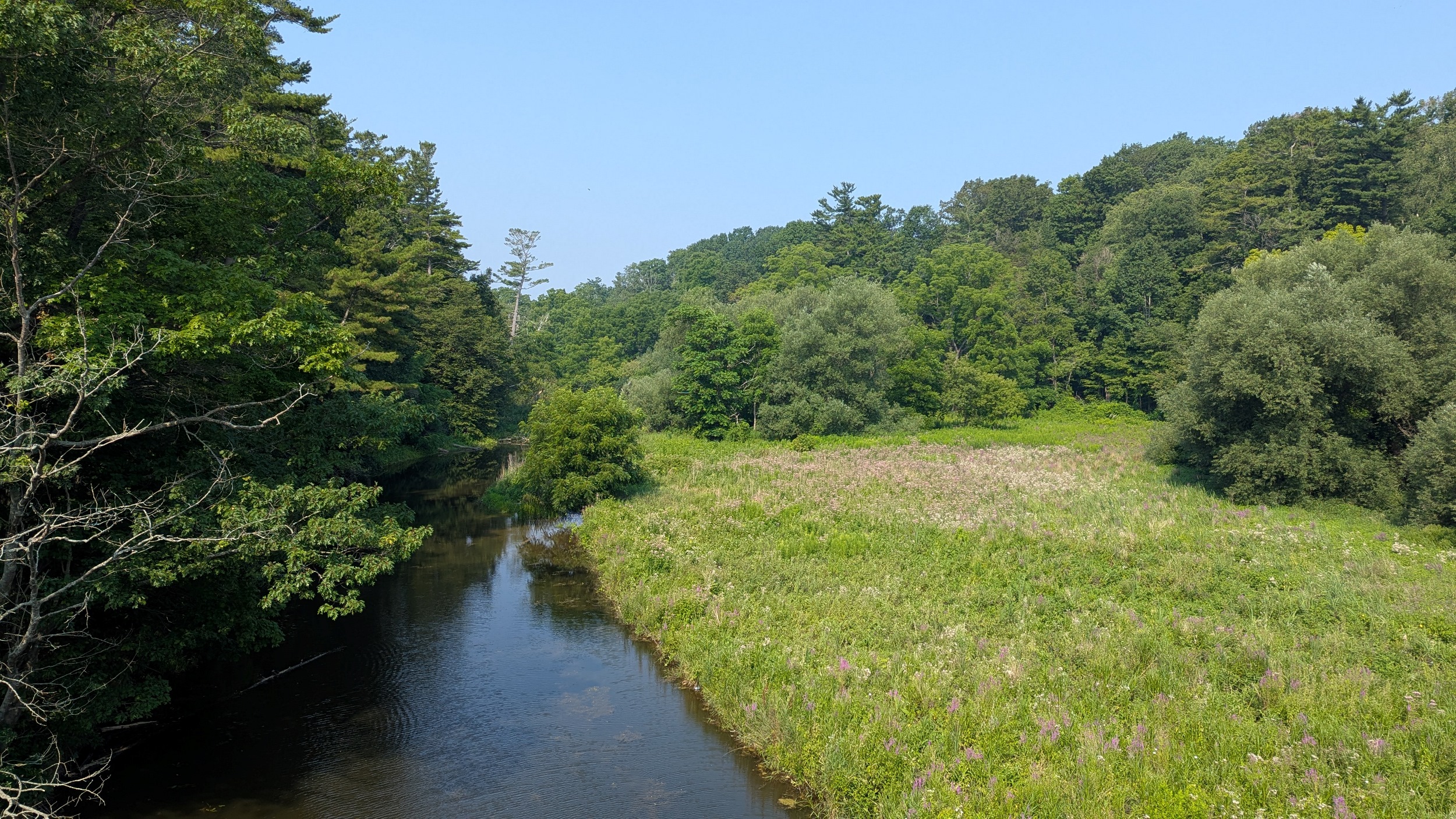
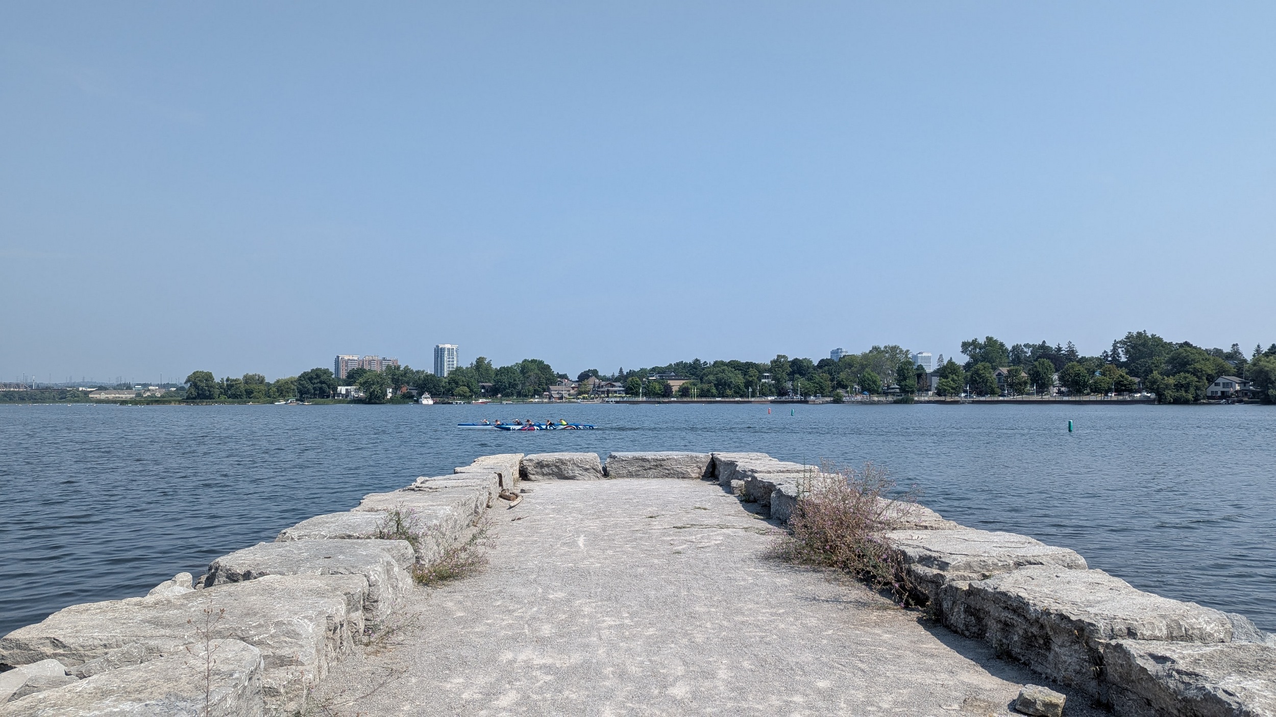
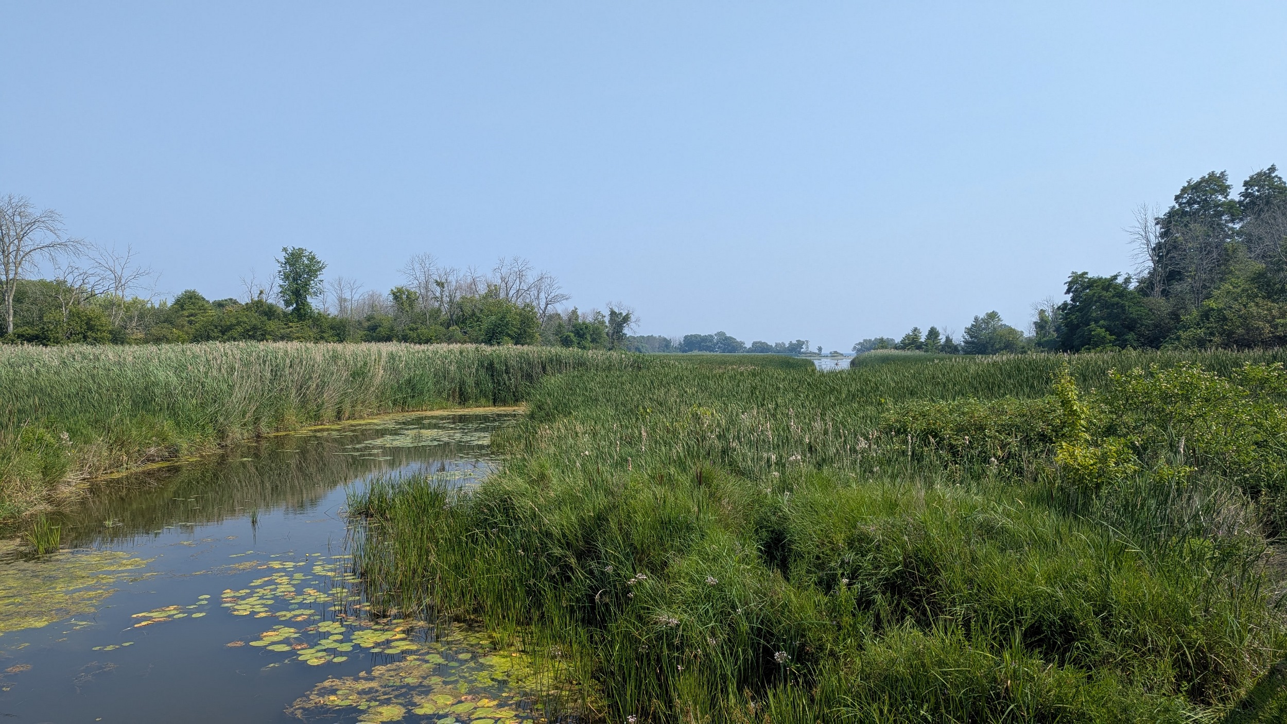
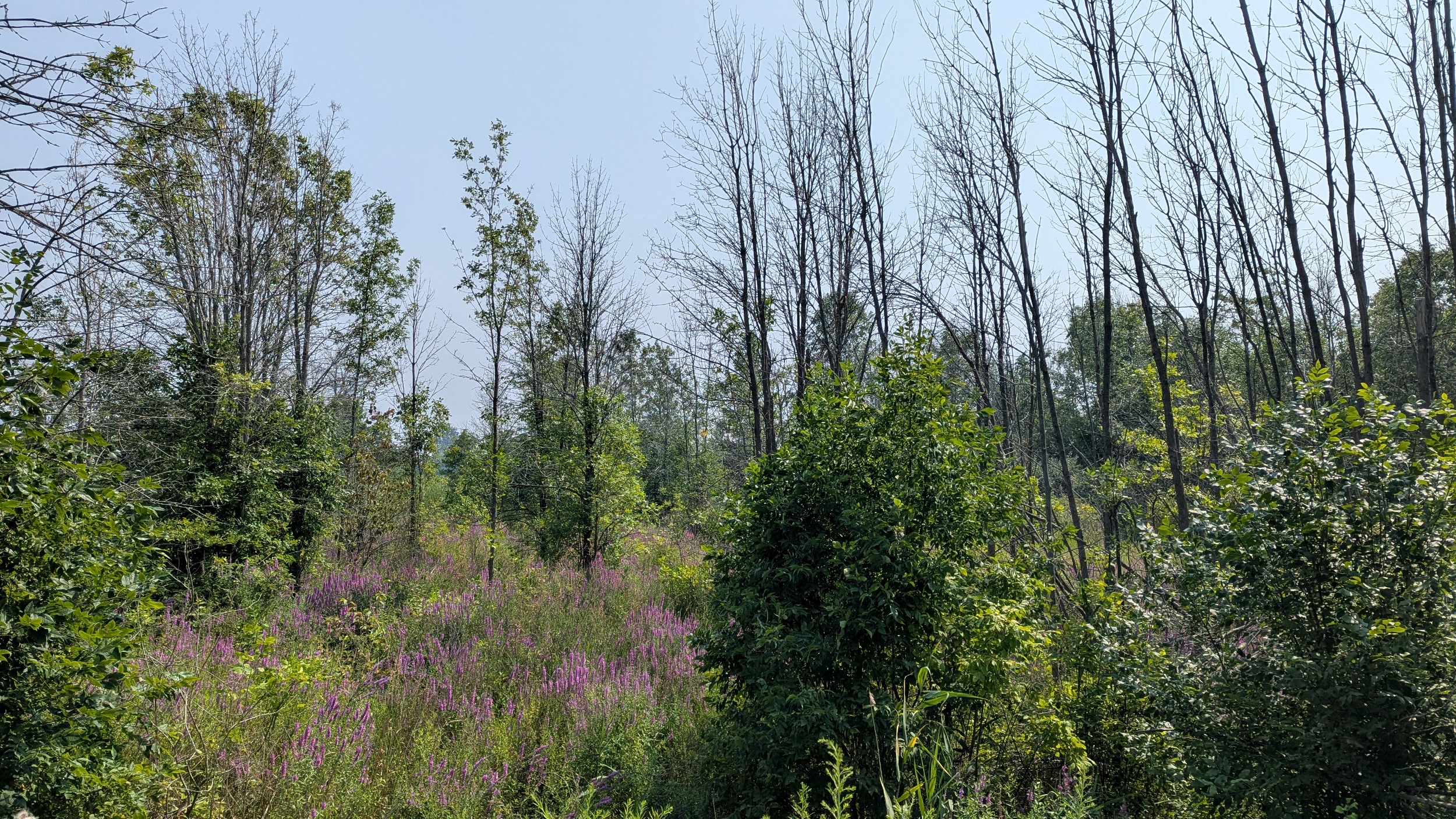
Further into the conservation area, you come to the same spit splitting Lake Ontario from Cranberry Marsh. I traversed the beach for the most part, but had to go inland a couple times and risk exposure to cow parsnip. But it is an unreasonable detour. Eventually I made it through.


The end of Eastbourne Beach Road is allegedly private, and it’s been a long day anyway. So it’s one last detour around the Lynde Creek Marsh, and across Victoria Street to cap off the end of this walk. Thanks for joining.


One more view of the shore, from the train back.
Date: August 4, 2025
Length: 32.1 km
Type: Shoreline