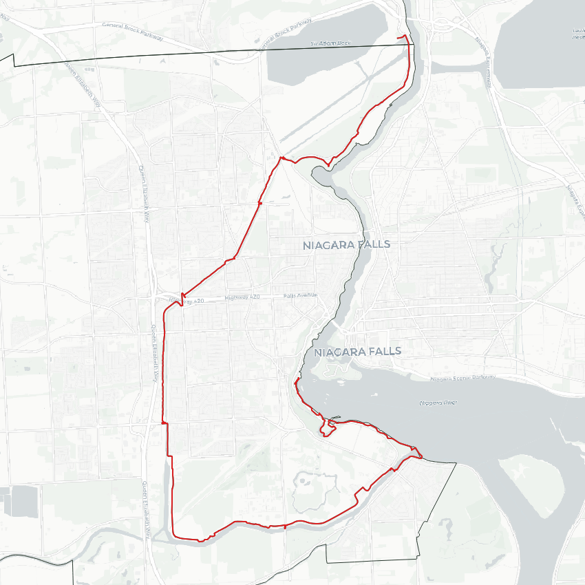
Good morning from Niagara Falls. Today I will be following the Chippawa-Queenston Power Canal from its source to the Sir Adam Beck Hydroelectric Generating Stations. I’ll start by going upstream of the Horseshoe Falls. Let’s go.
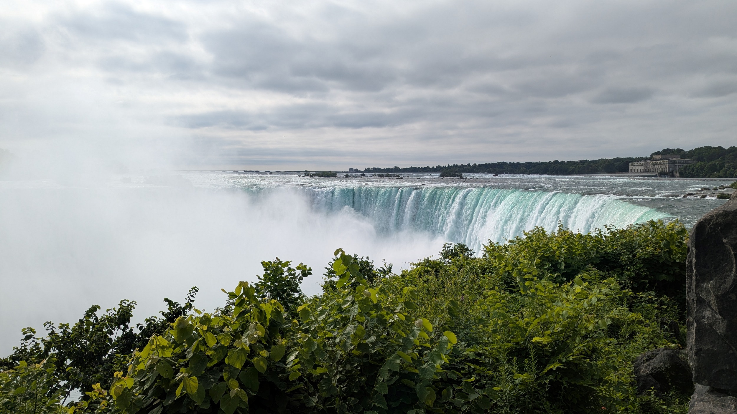
The Falls have a long history of hydroelectric power development. Walking upstream makes that very clear. The old stonework, weirs and rapids, combined with the lush escarpment, makes for quite a sight.
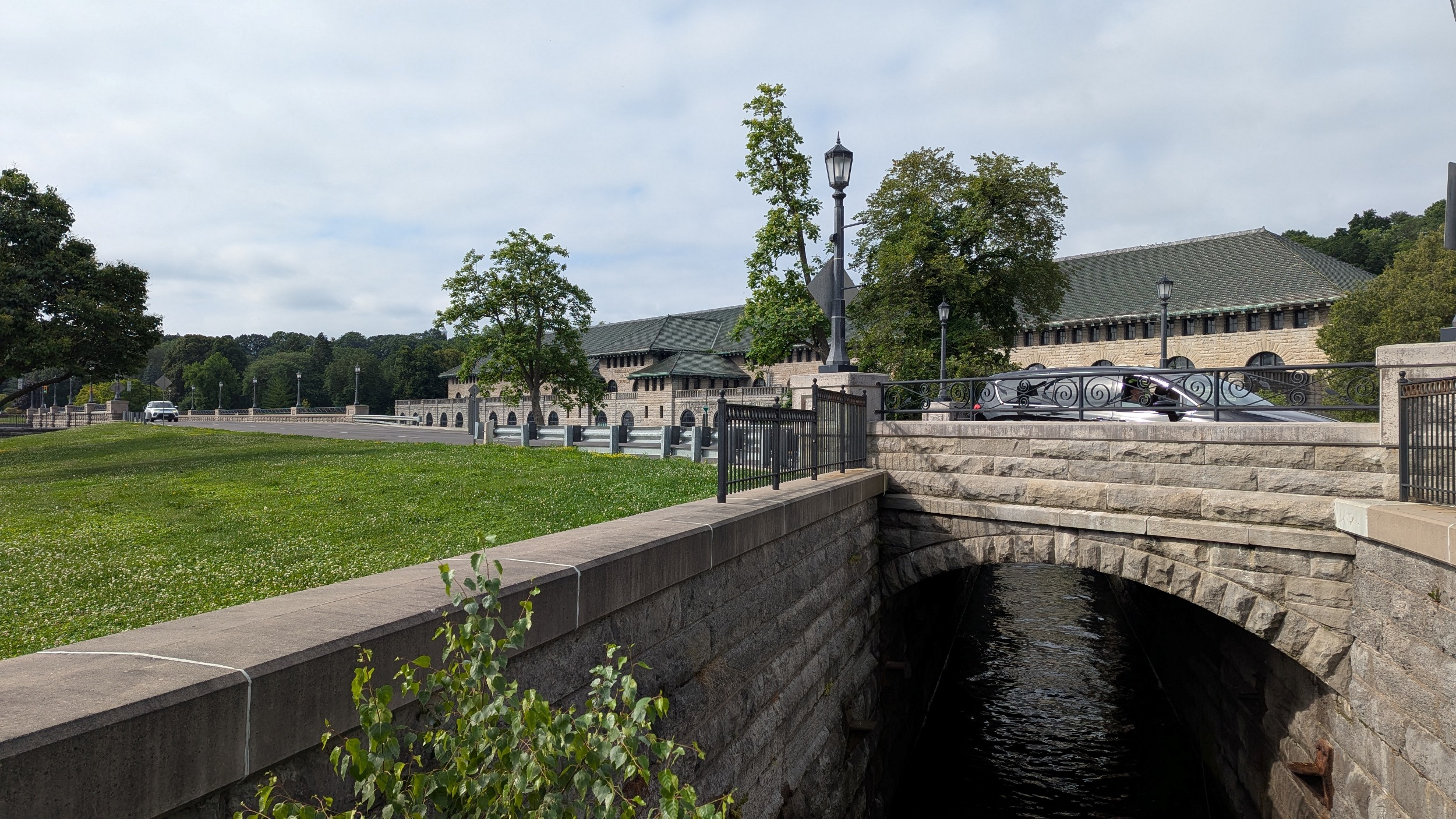
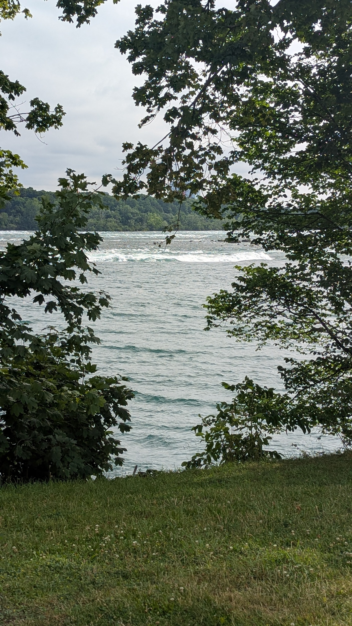

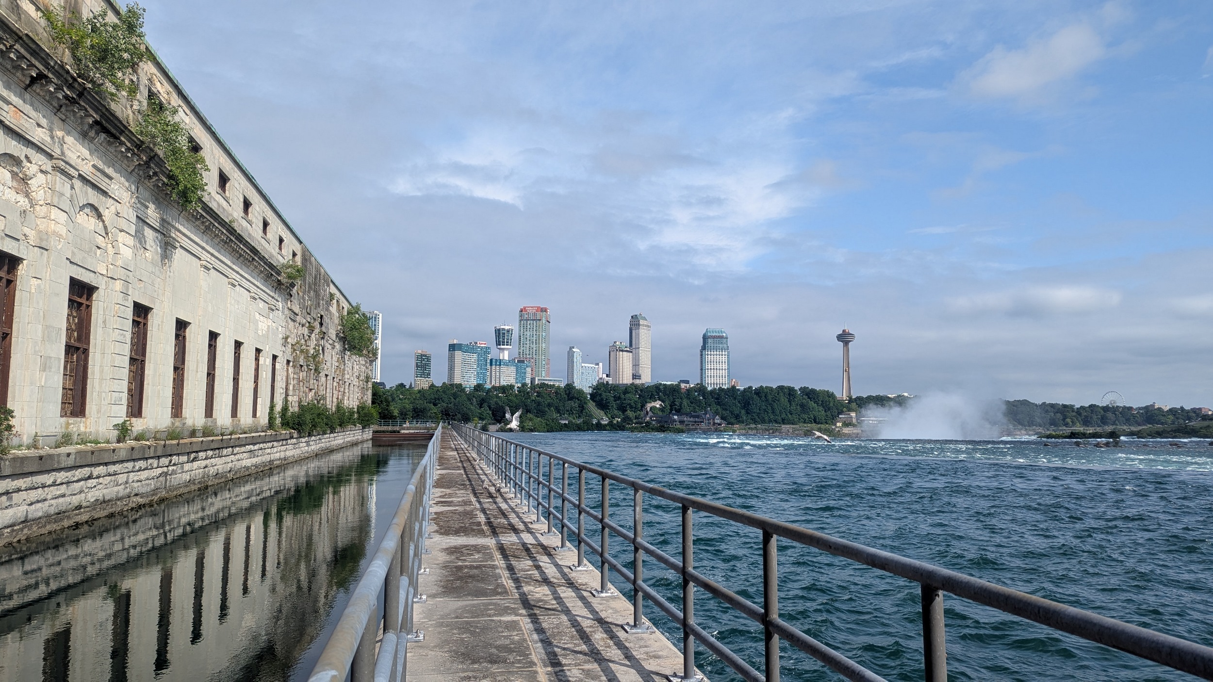
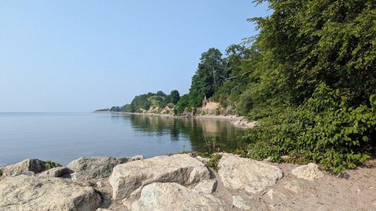
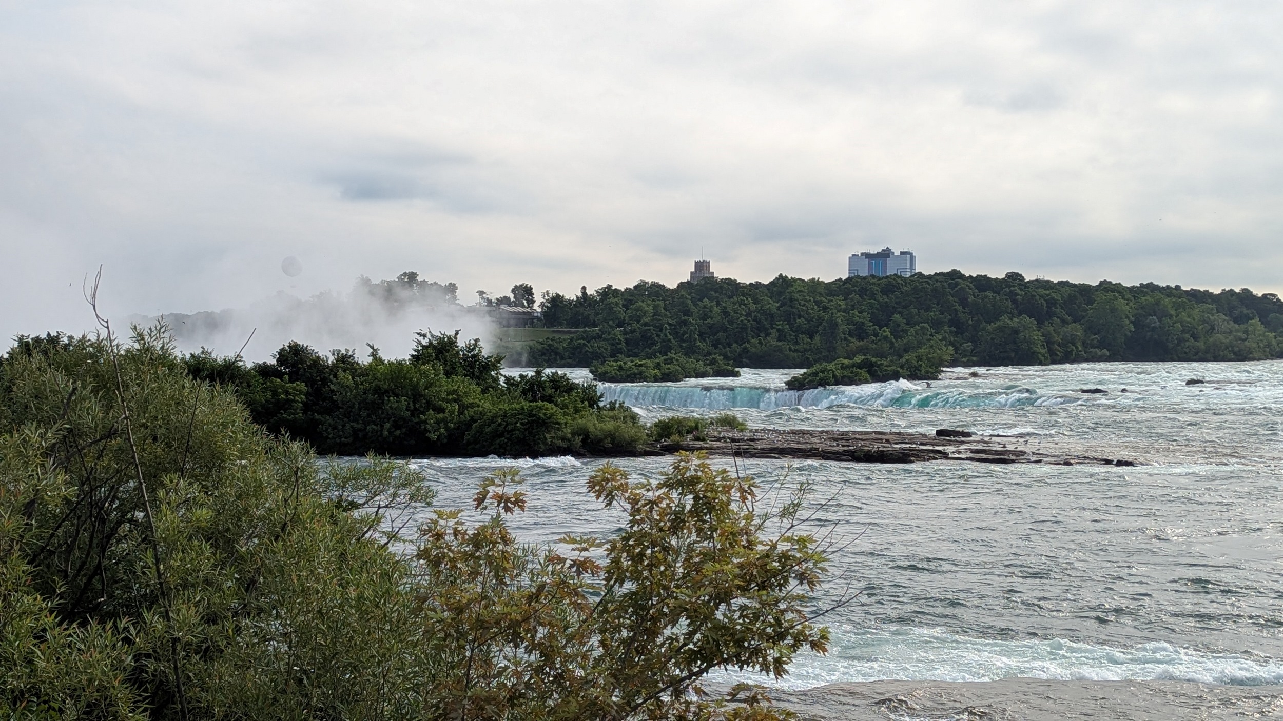
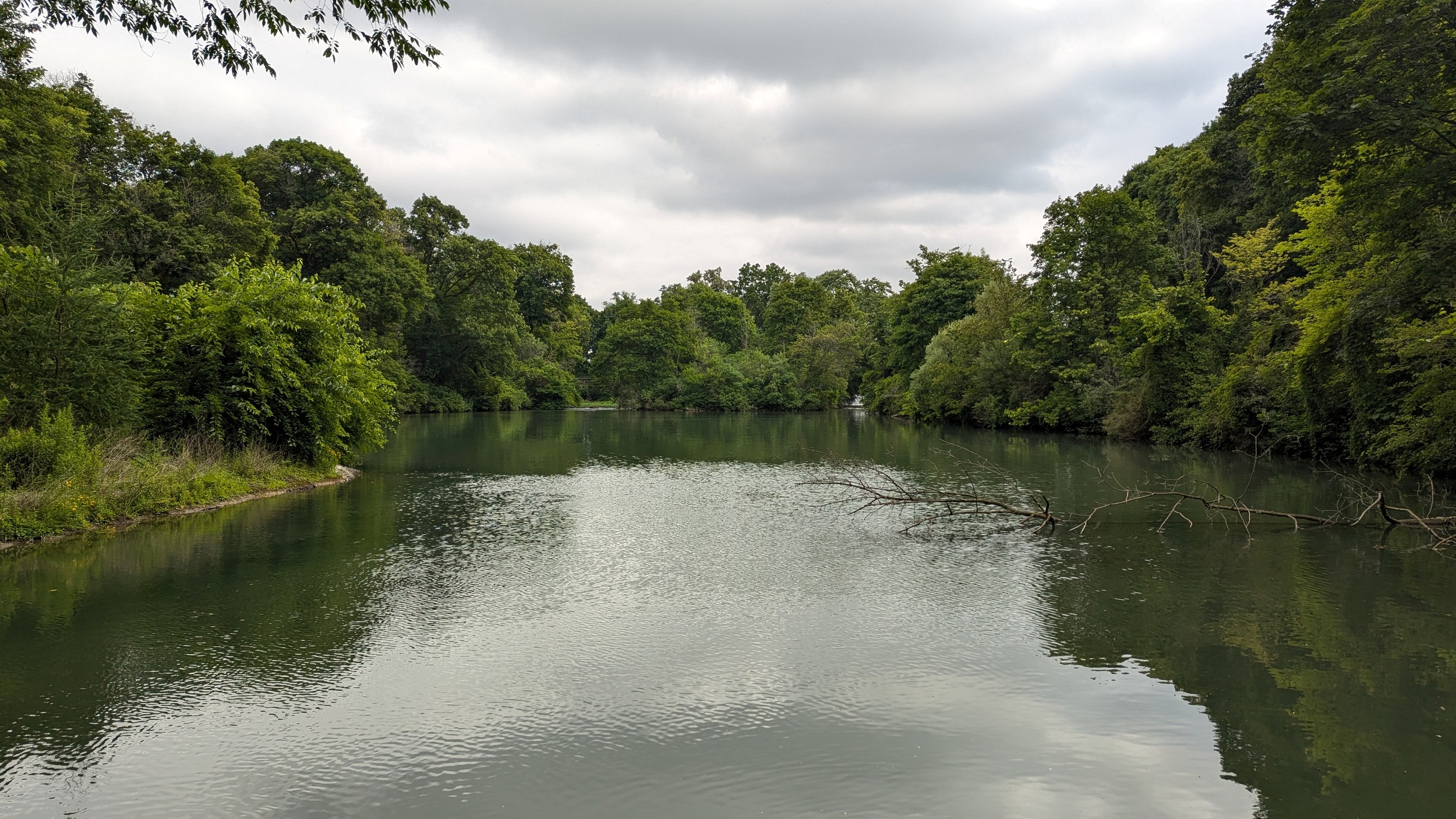
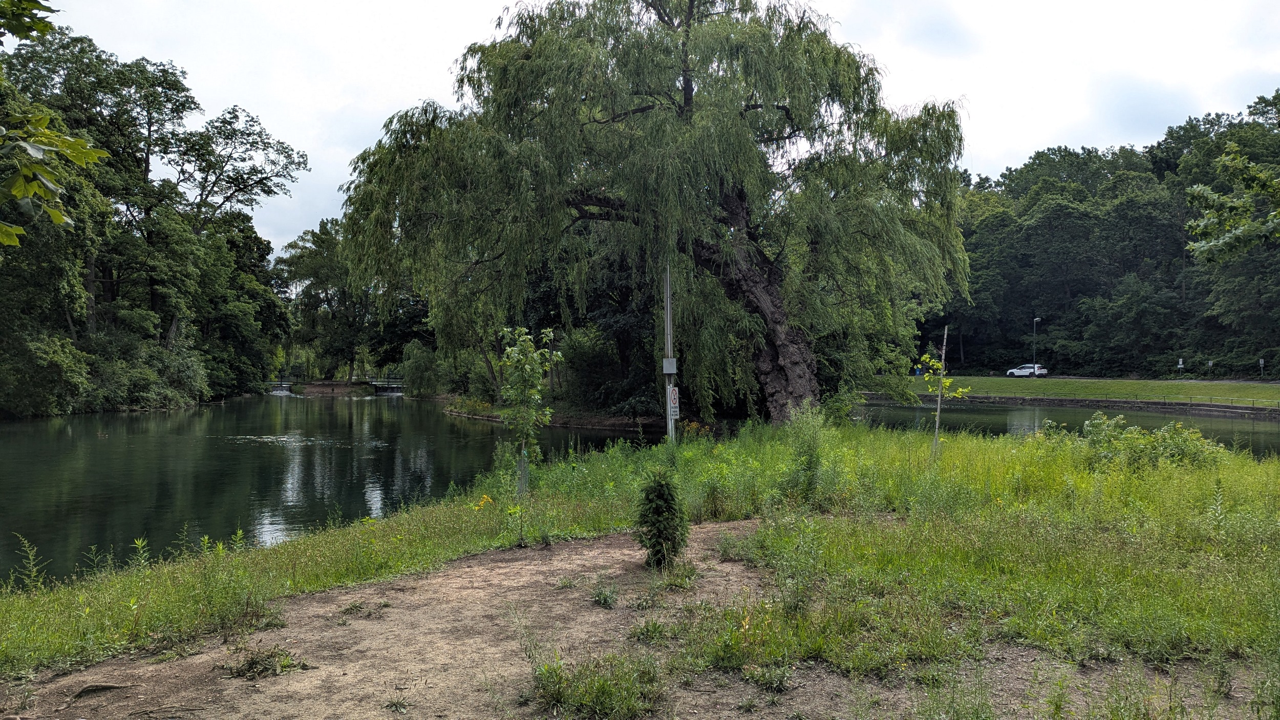
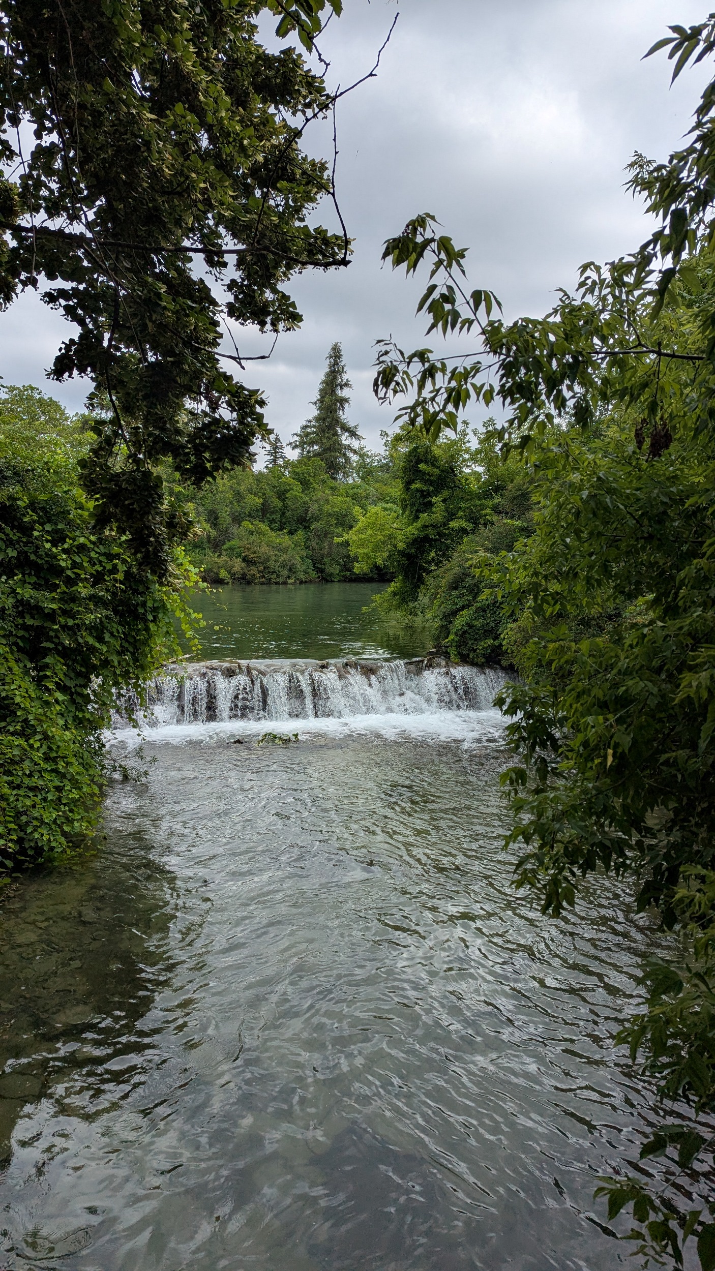
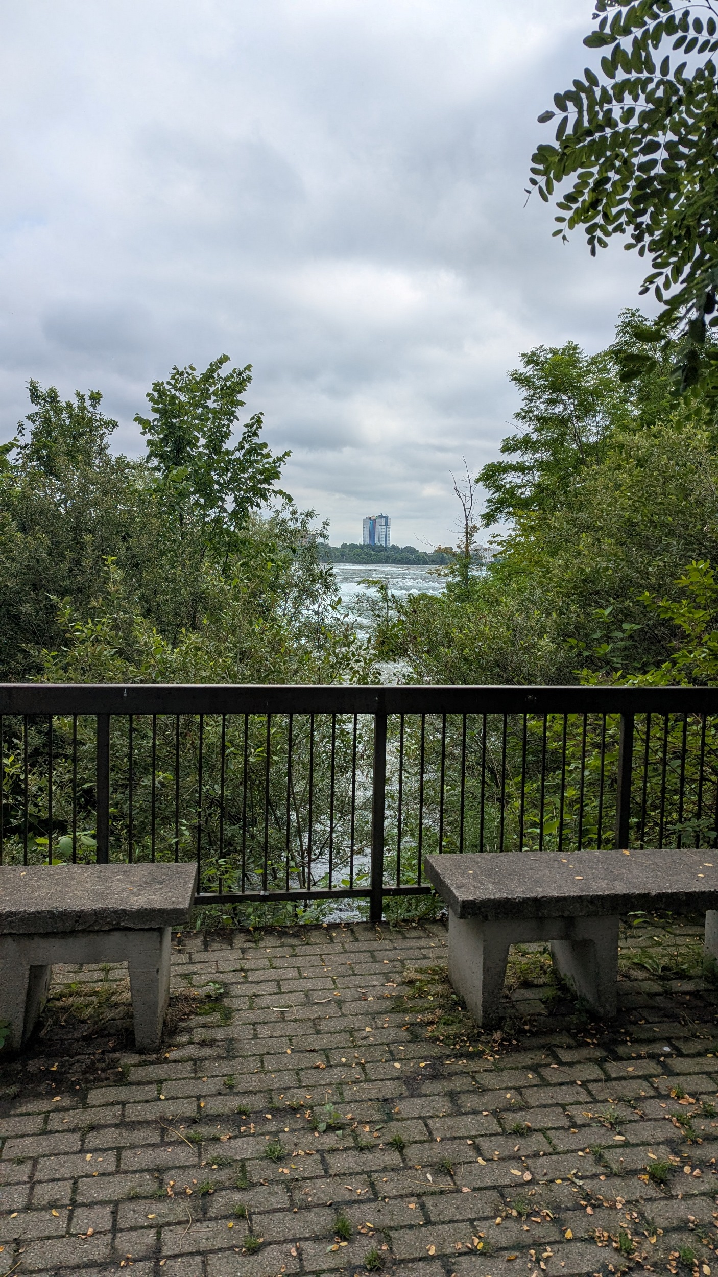
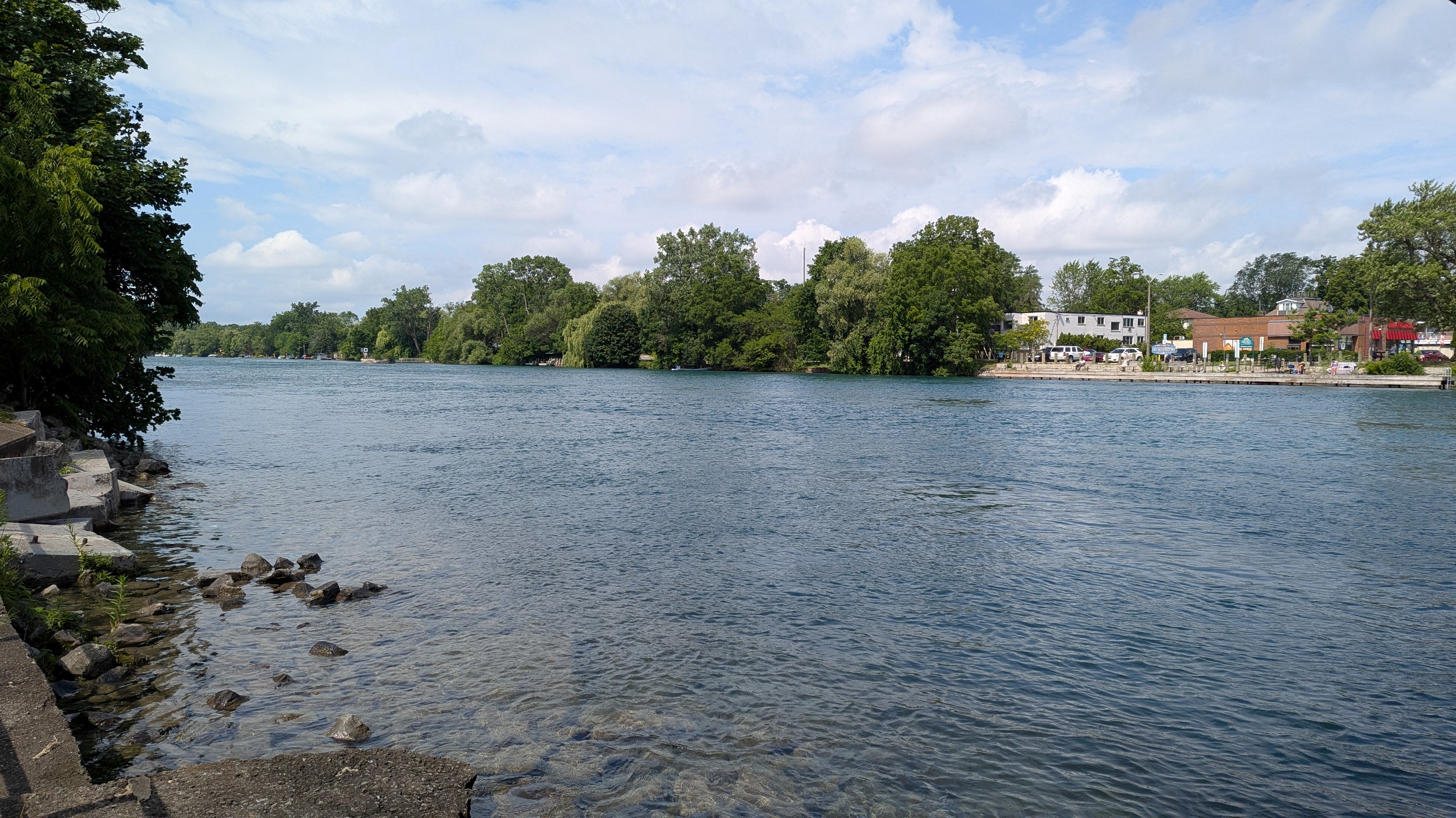
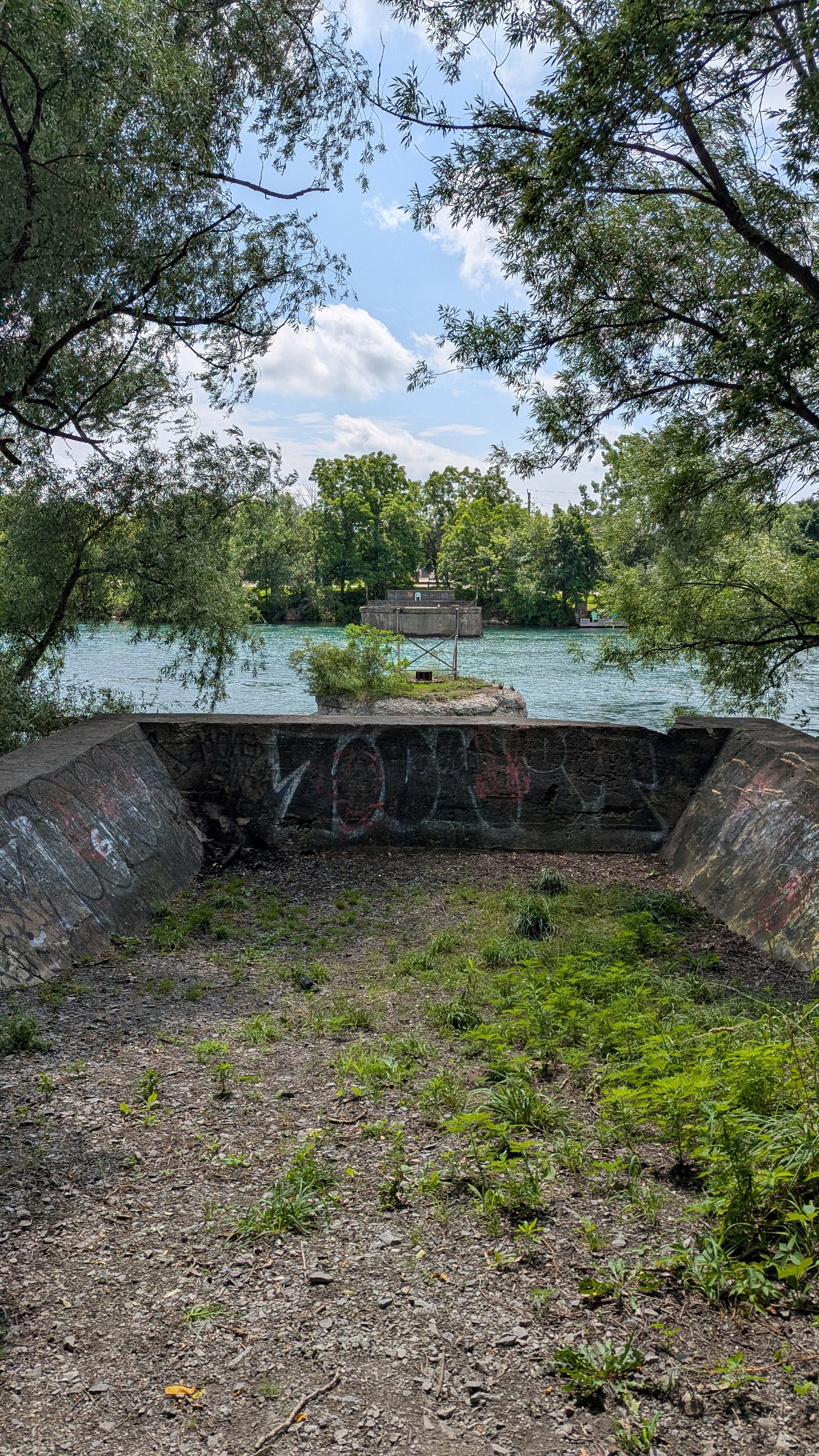
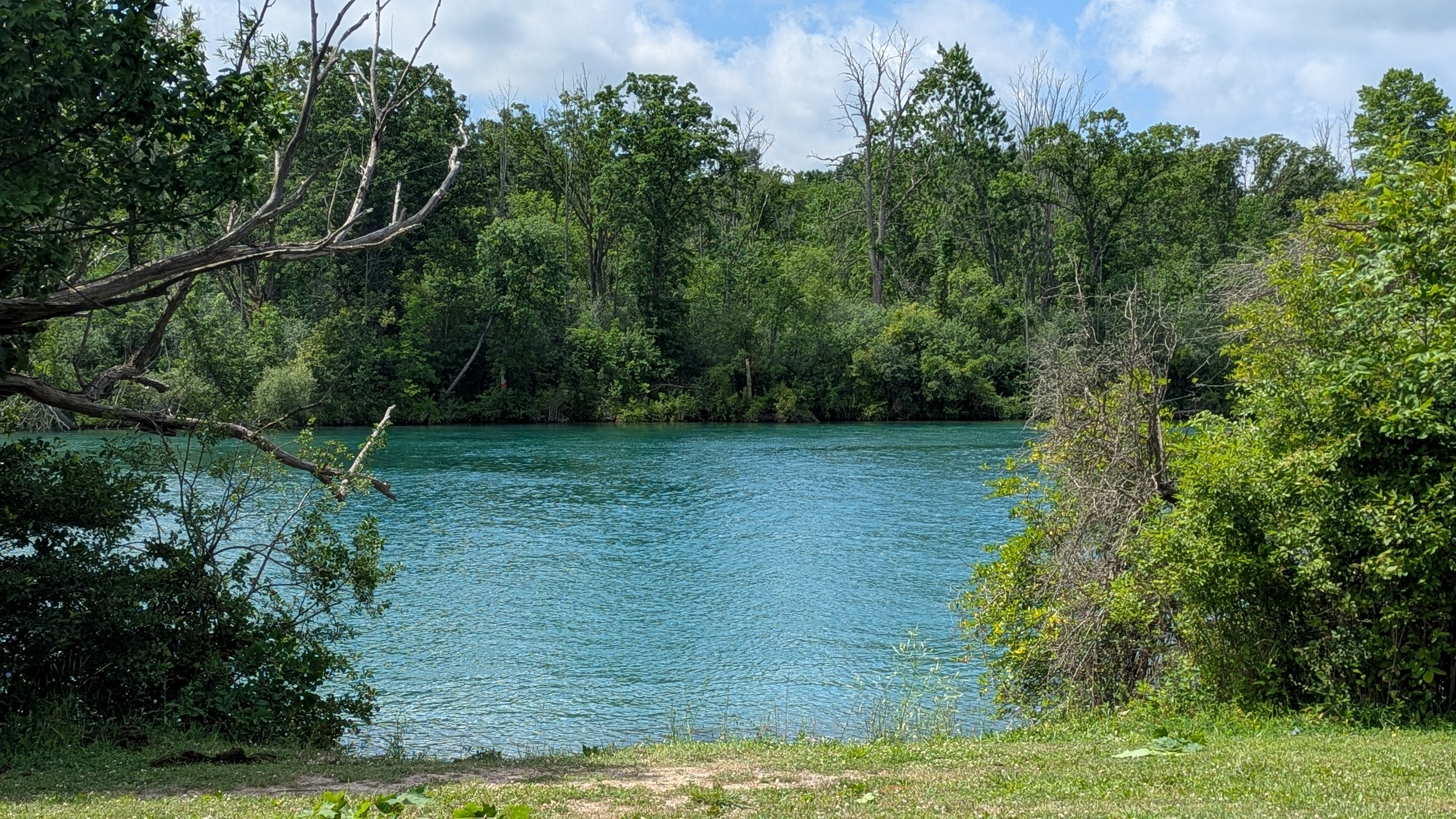
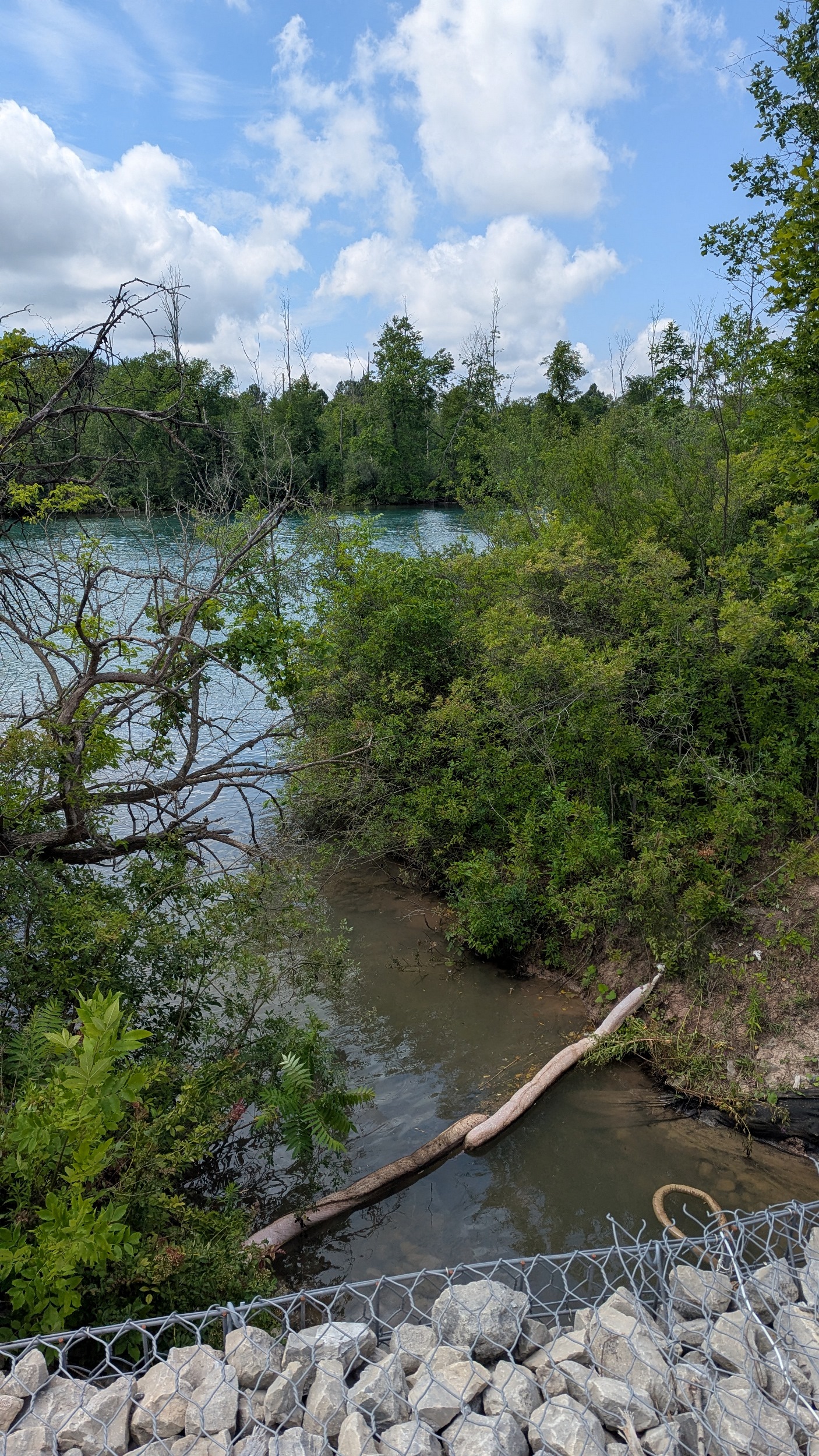
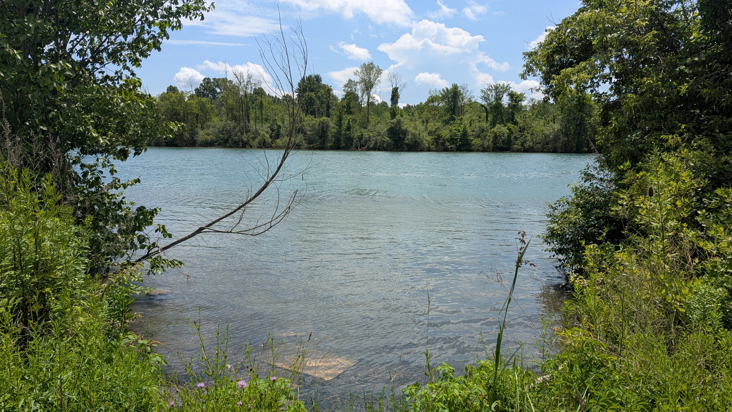
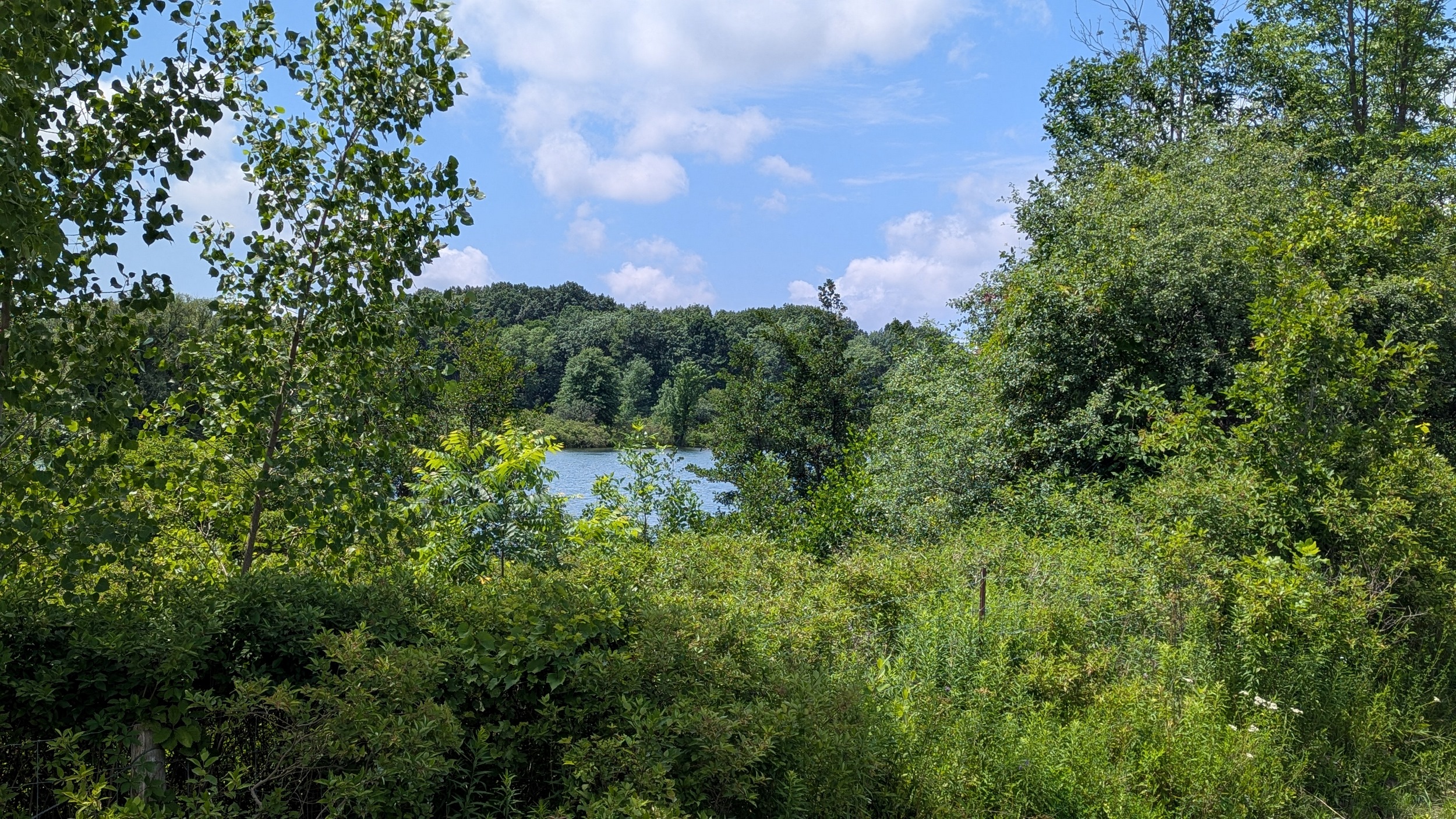
Ok I’m distracted. The power canal is still aways and I’m marveling at the Niagara River’s beauty upstream of the Falls. That includes a side channel along the Dufferin Islands, which are manmade and influenced by the weirs built for the former Ontario Power Company Generating Station. This is a peaceful place.
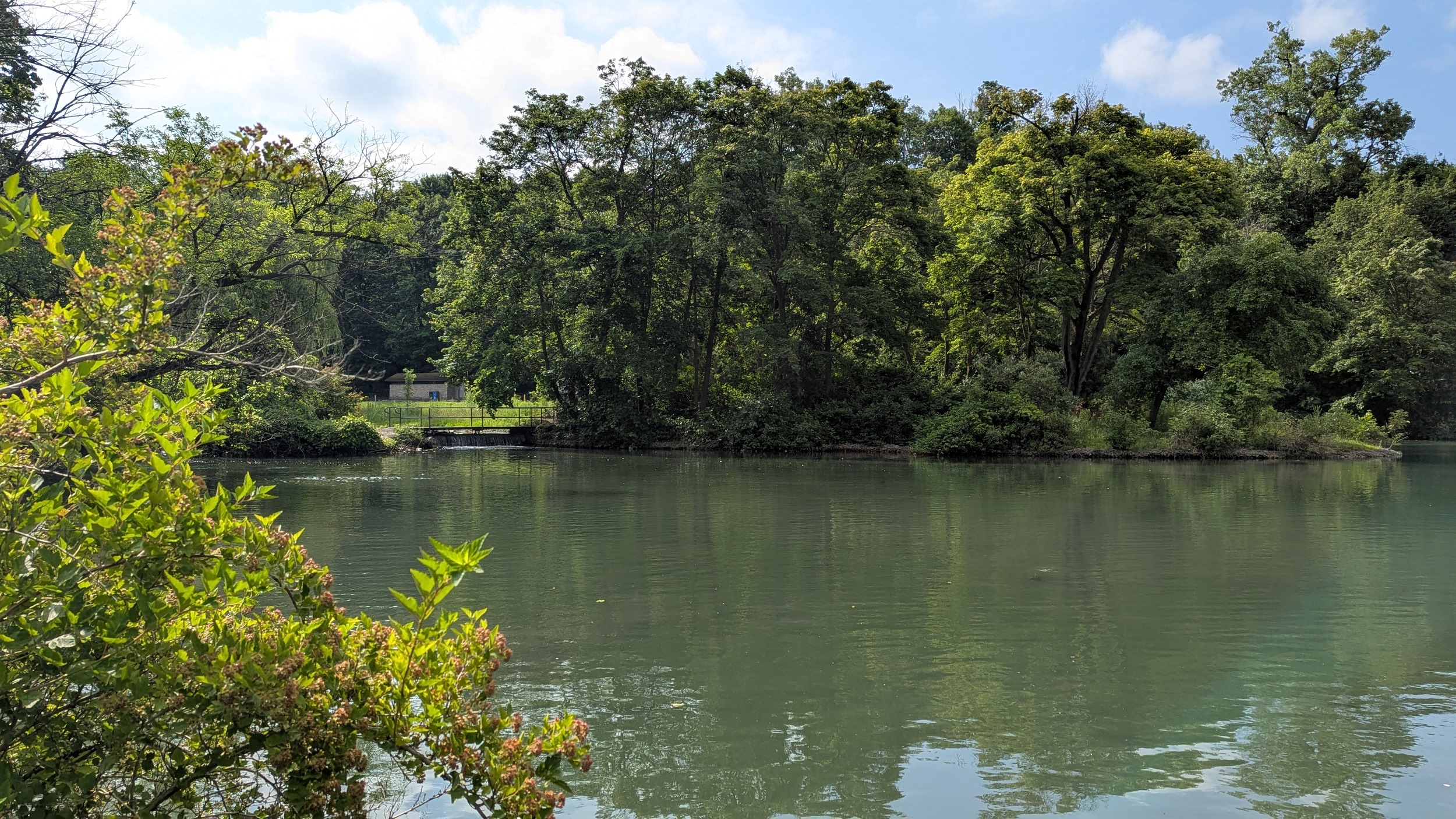
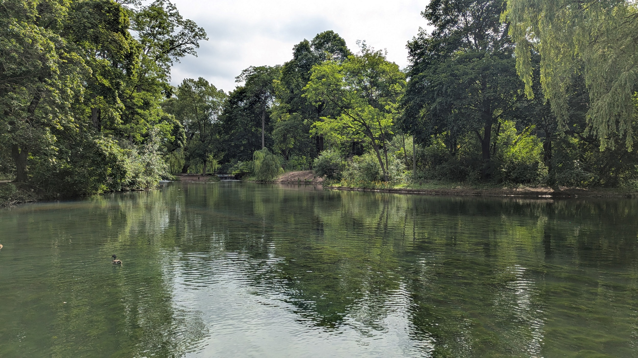
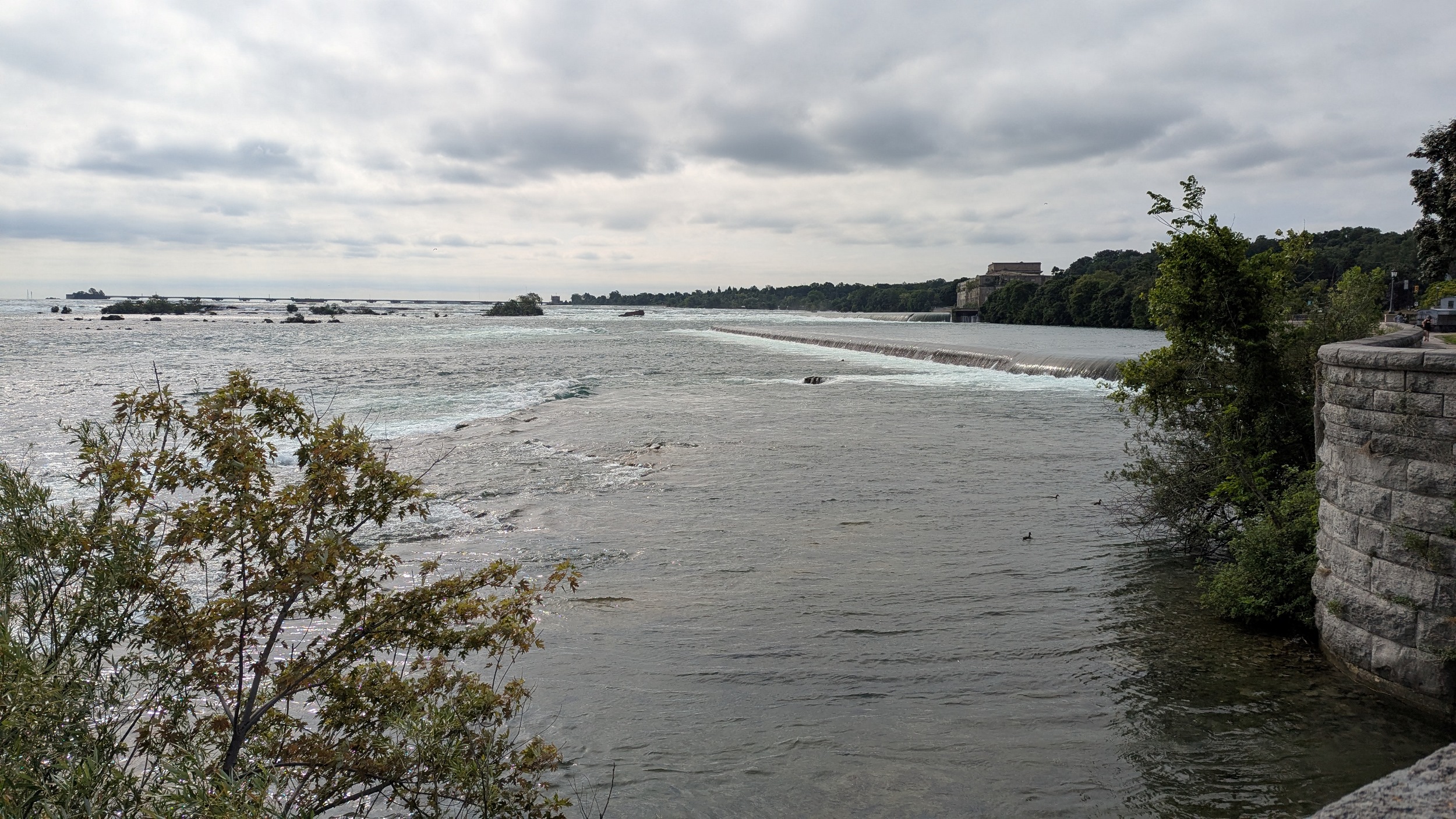
So much to see and so little time. Out of the islands and back to the main river. The forebay and weir confirm that the river was altered here for power, and some of it goes through the islands.
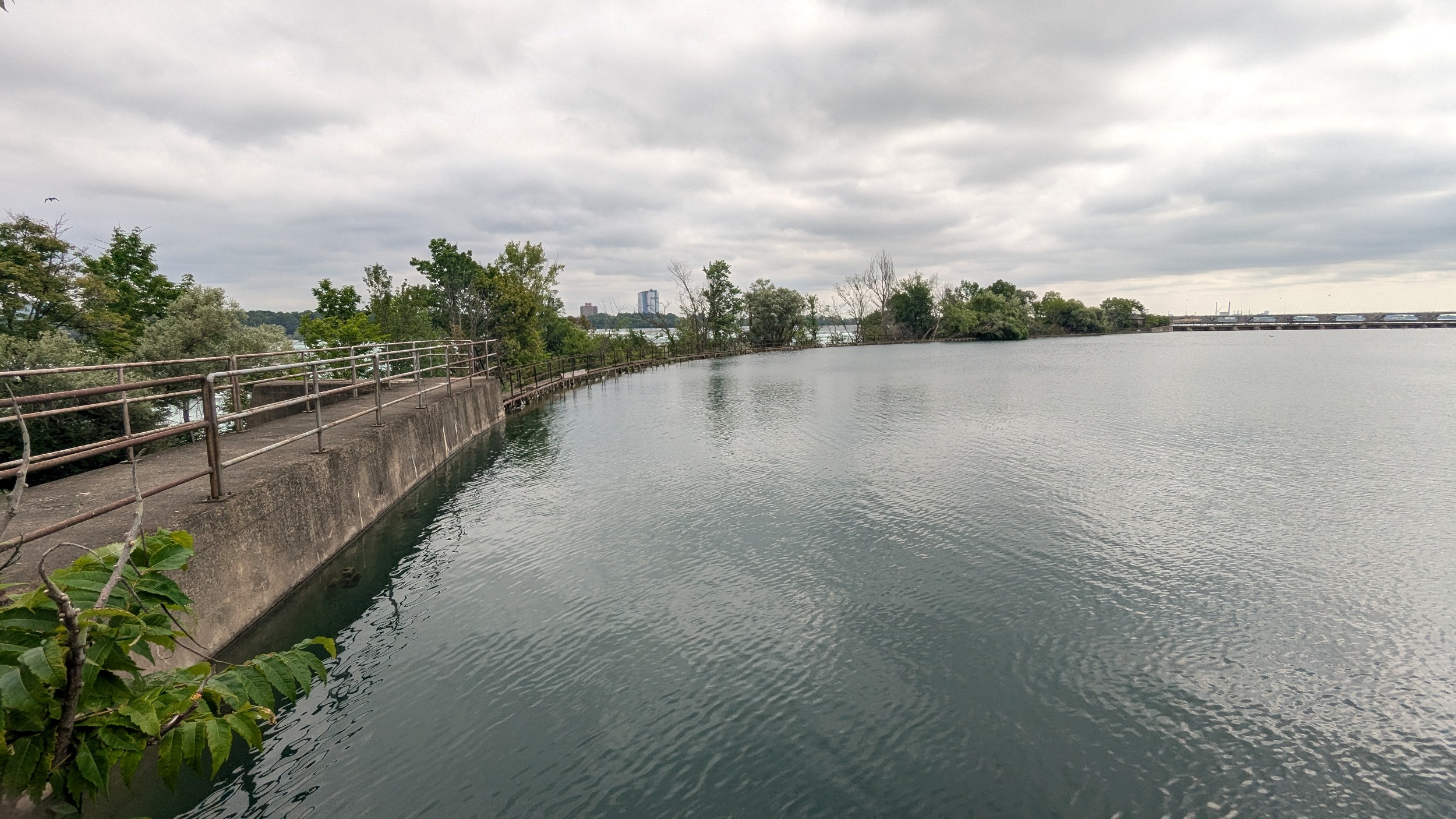
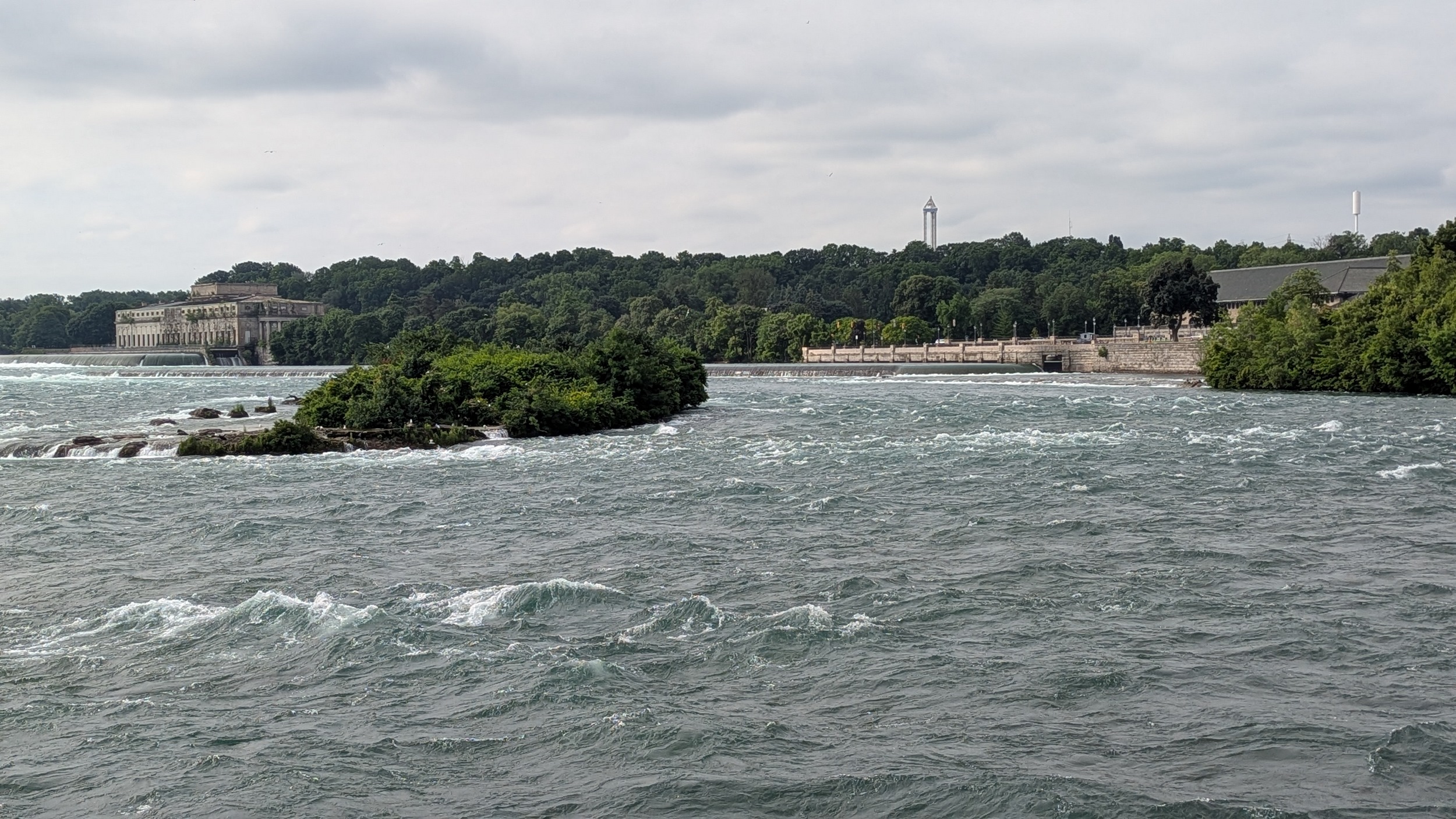
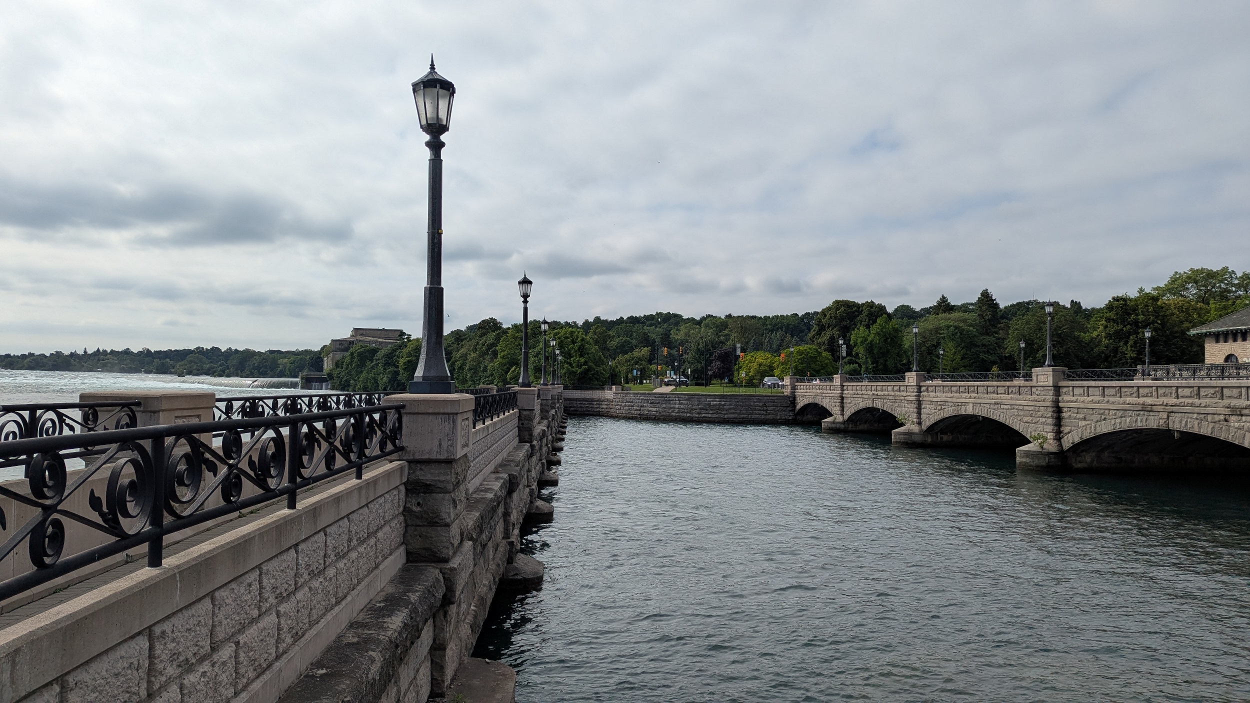
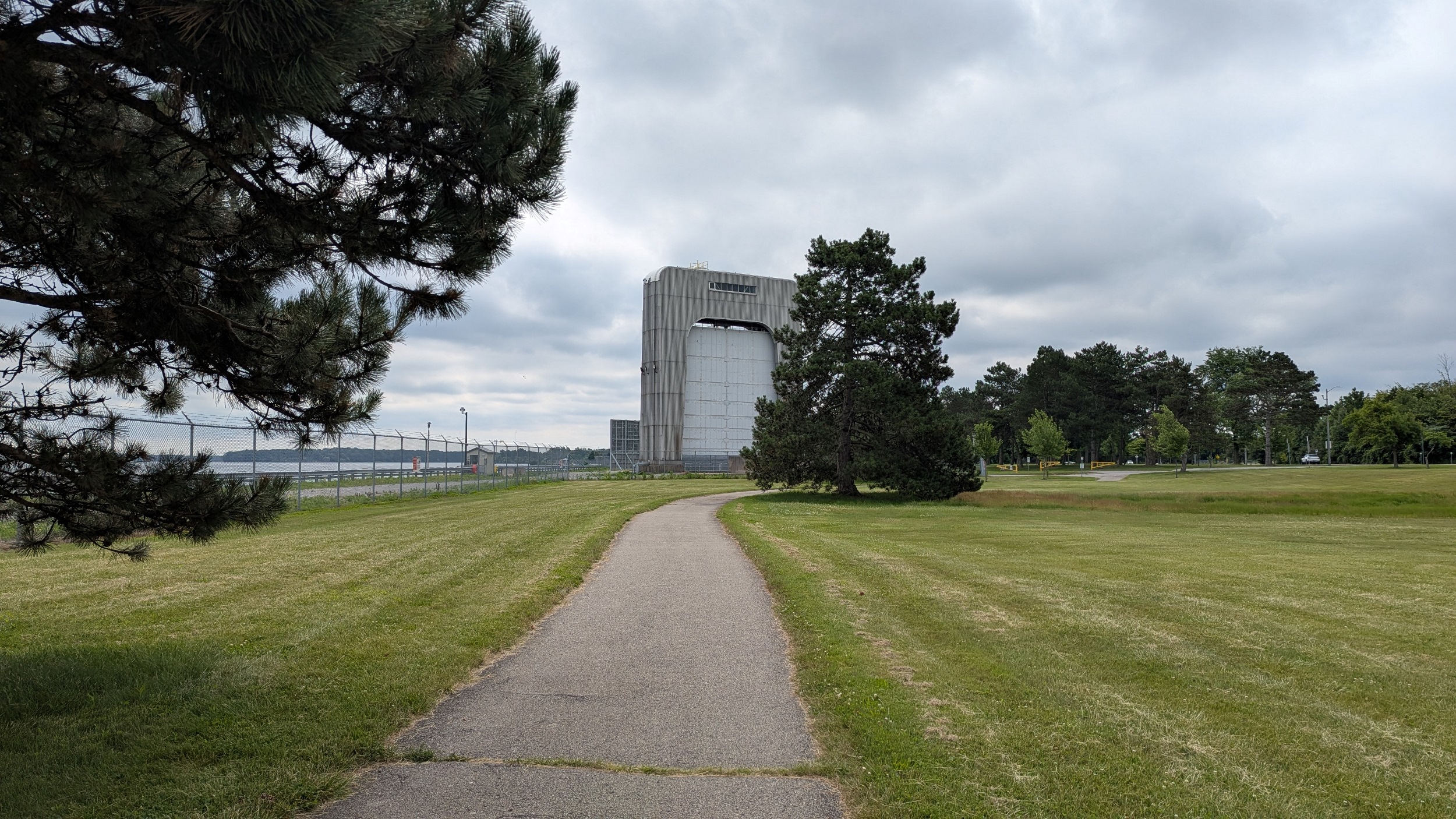
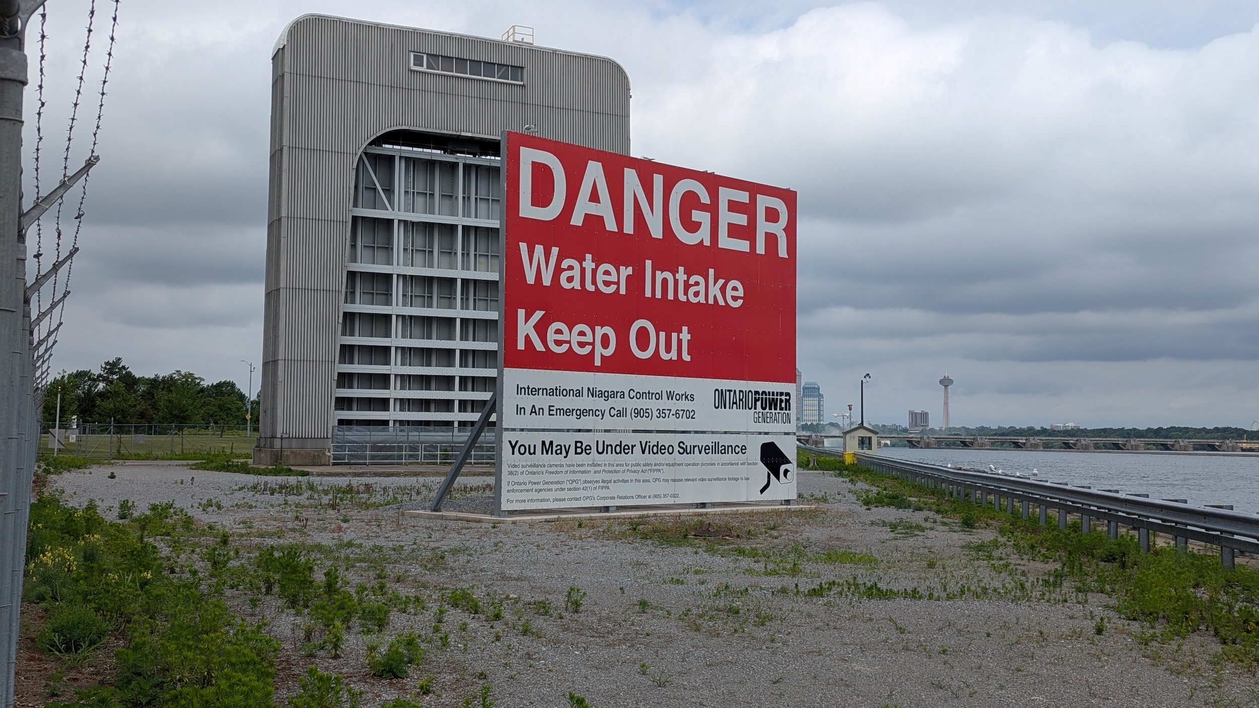
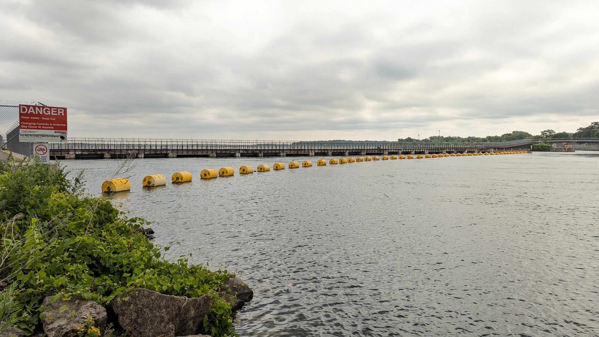
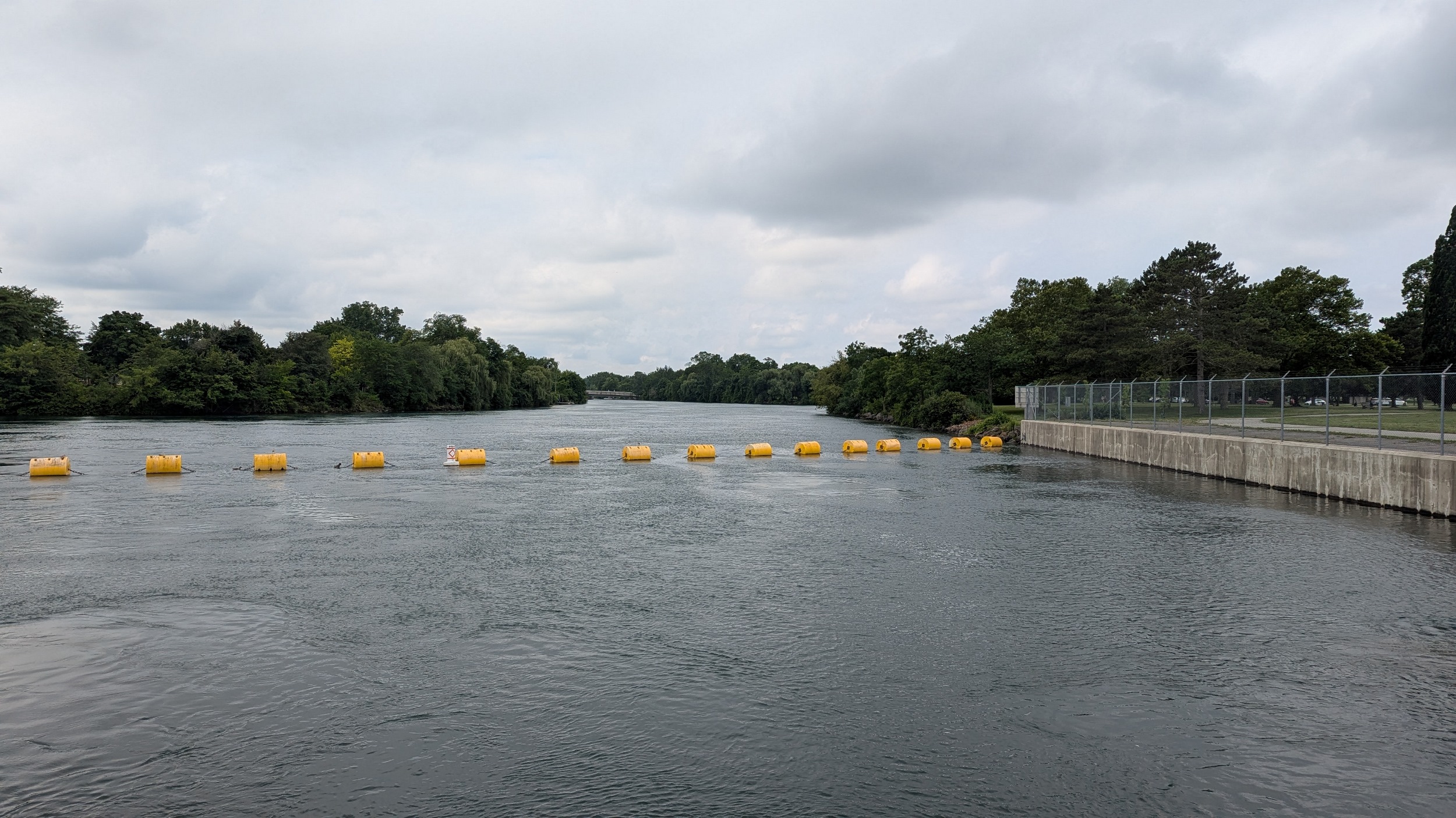
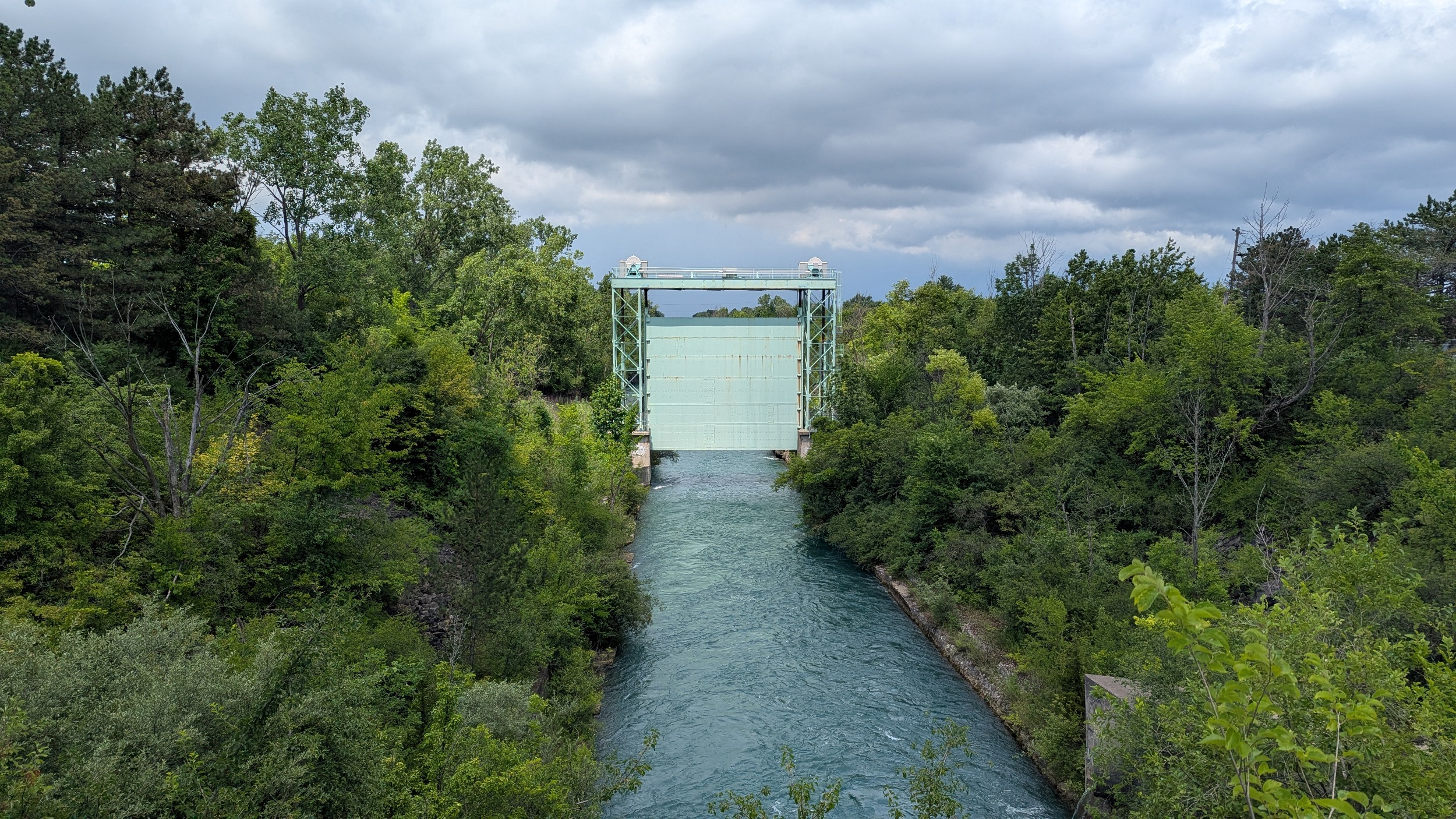
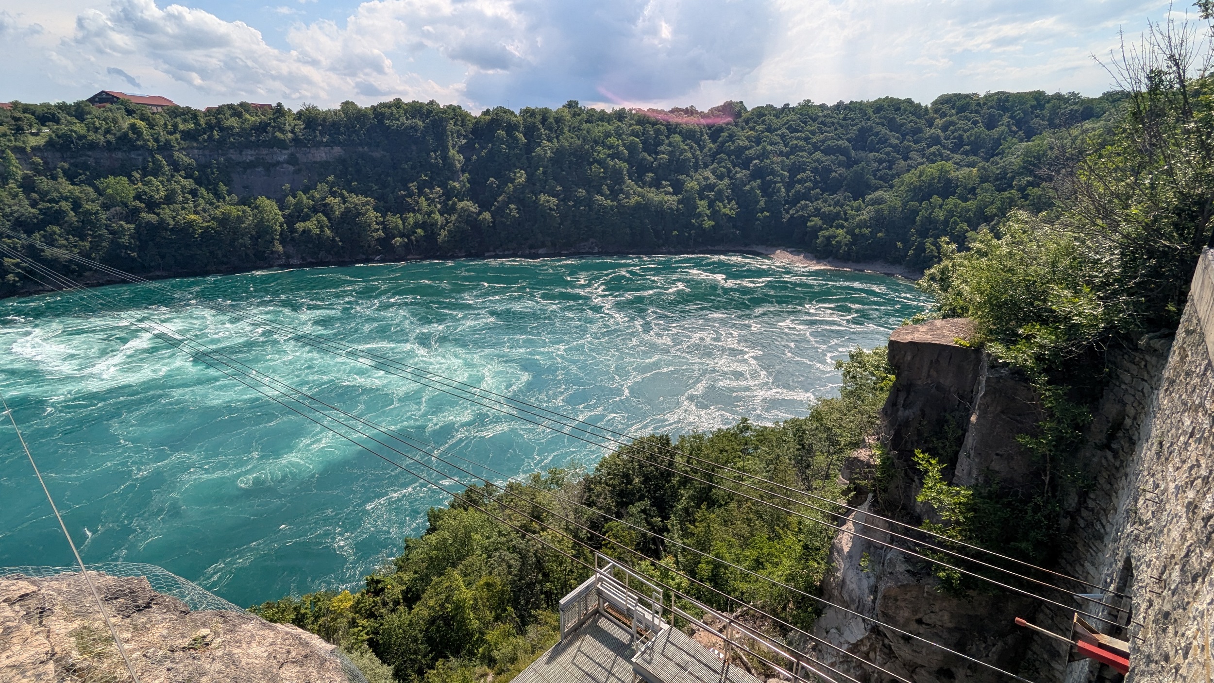
Further up, we come to the structures that are actively used for hydro. These are the inlets to three underground tunnels leading to the Beck Generation Stations. It used to be two, but a third was completed upstream of the International Niagara Control Works in 2013. These gates show you how immense the tunnels are.


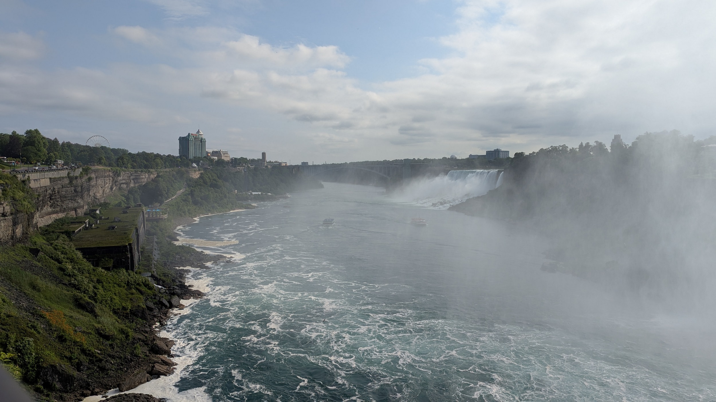
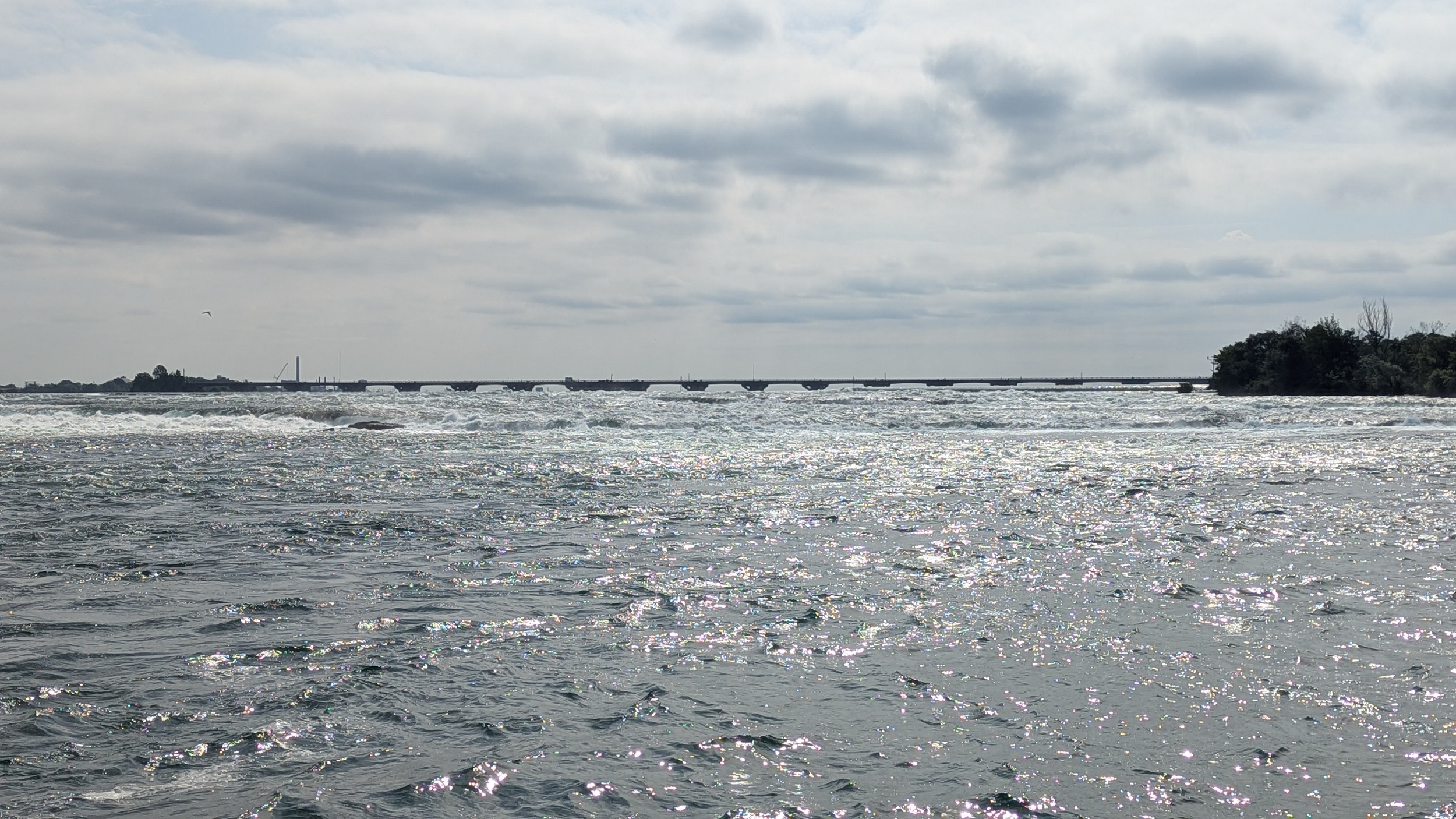
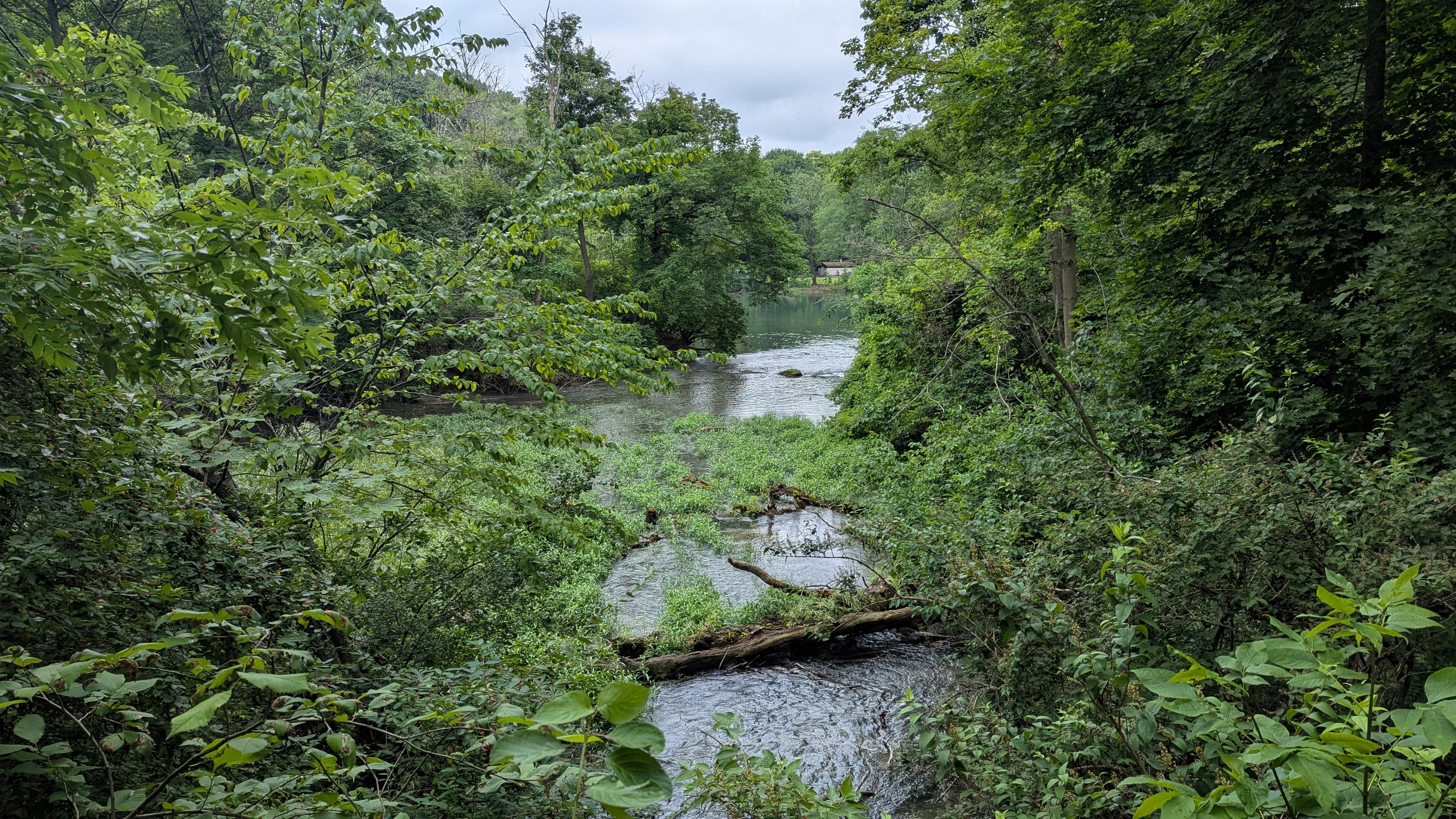
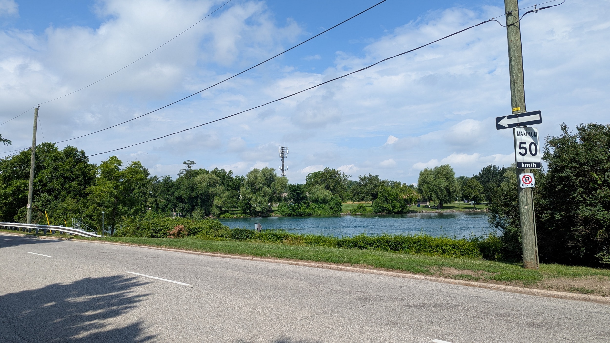
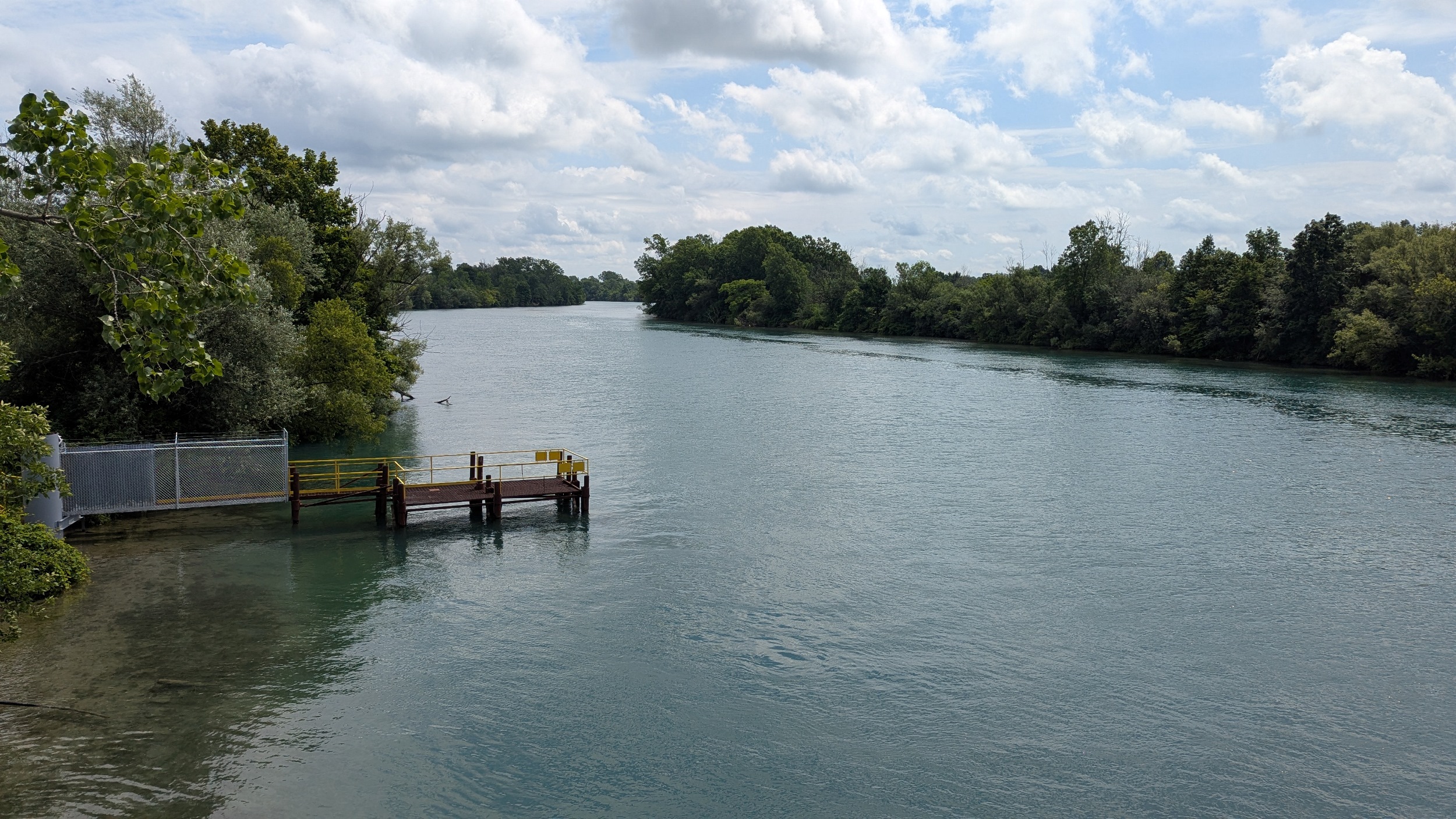
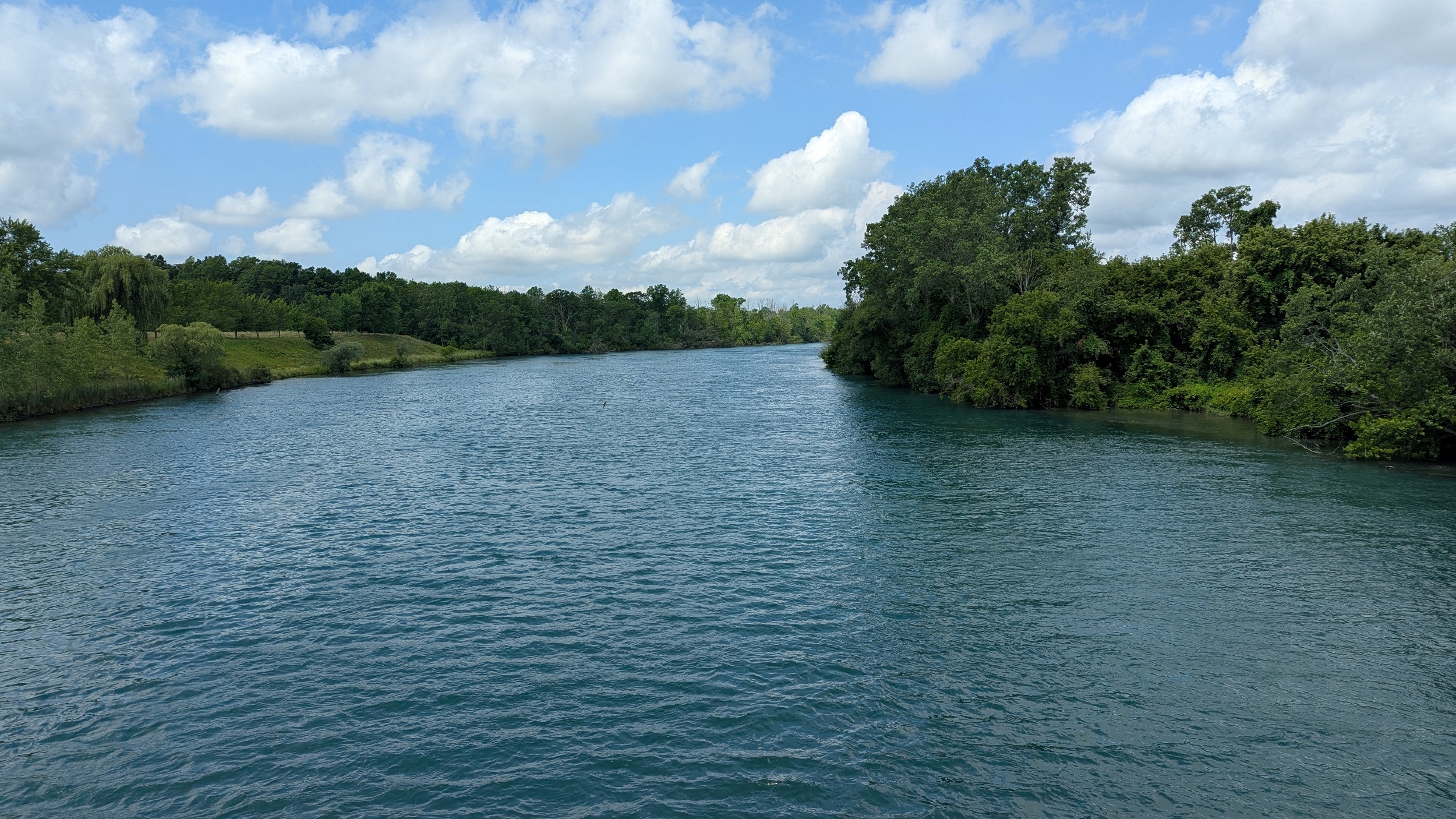
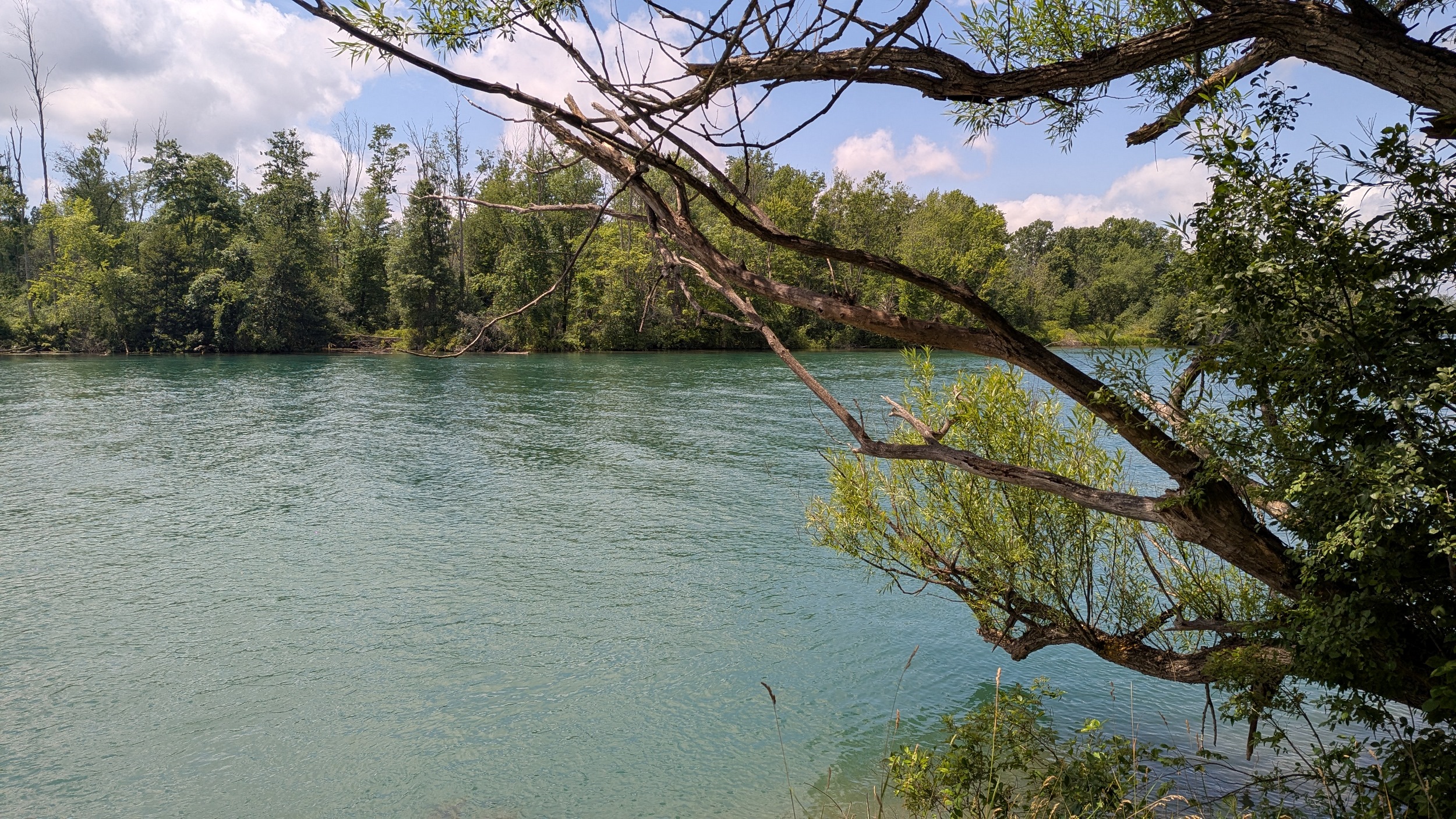
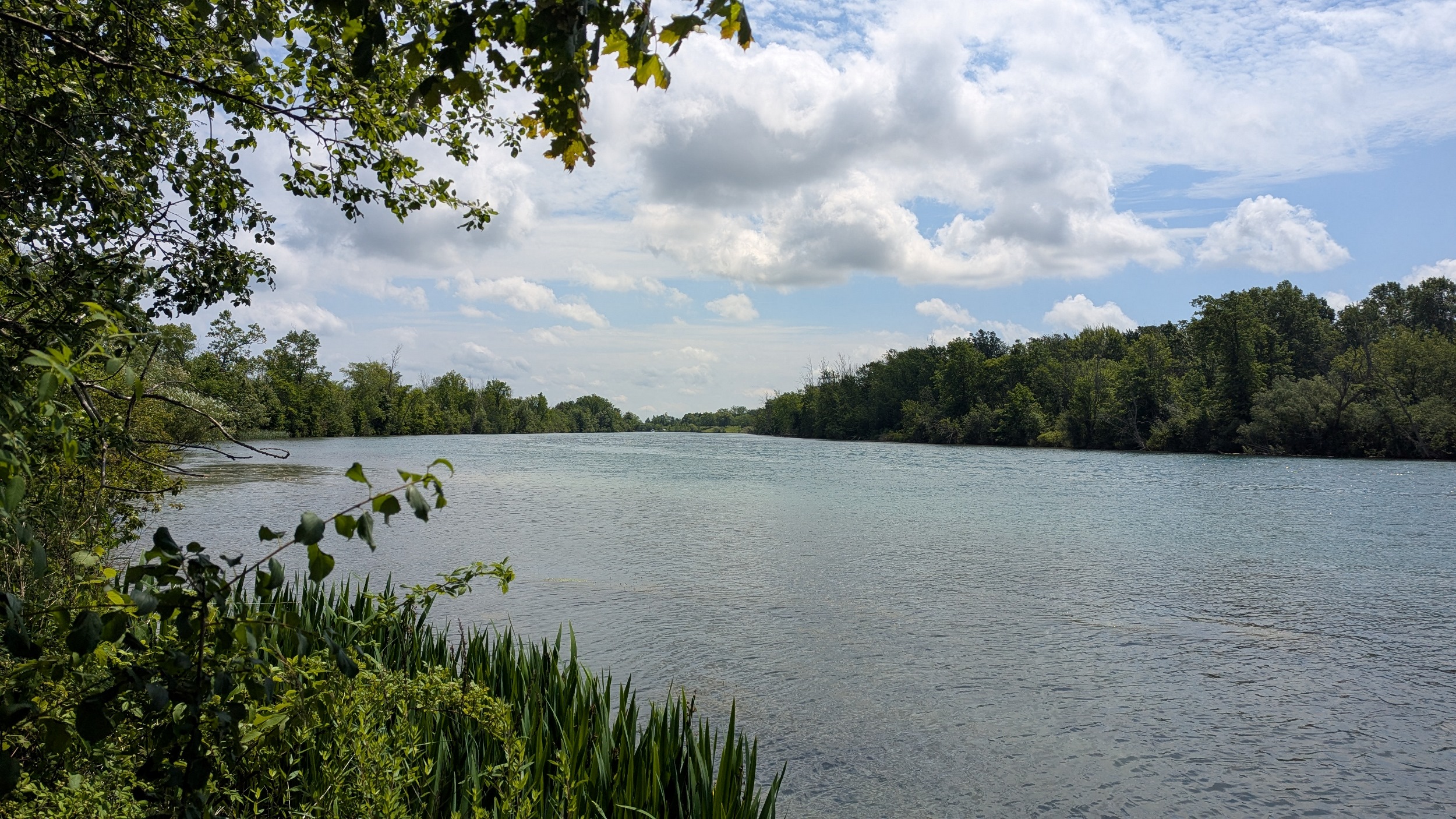
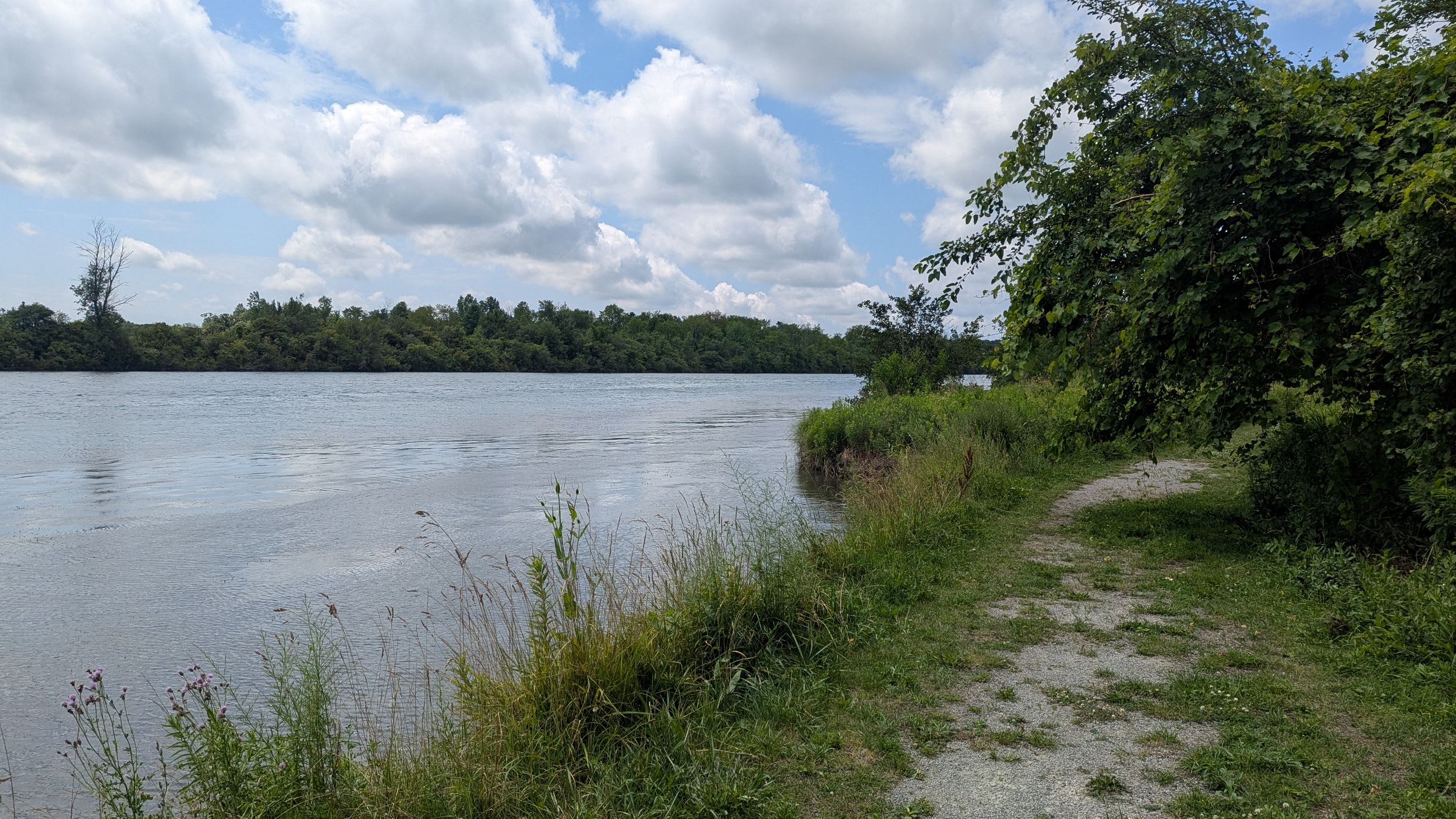
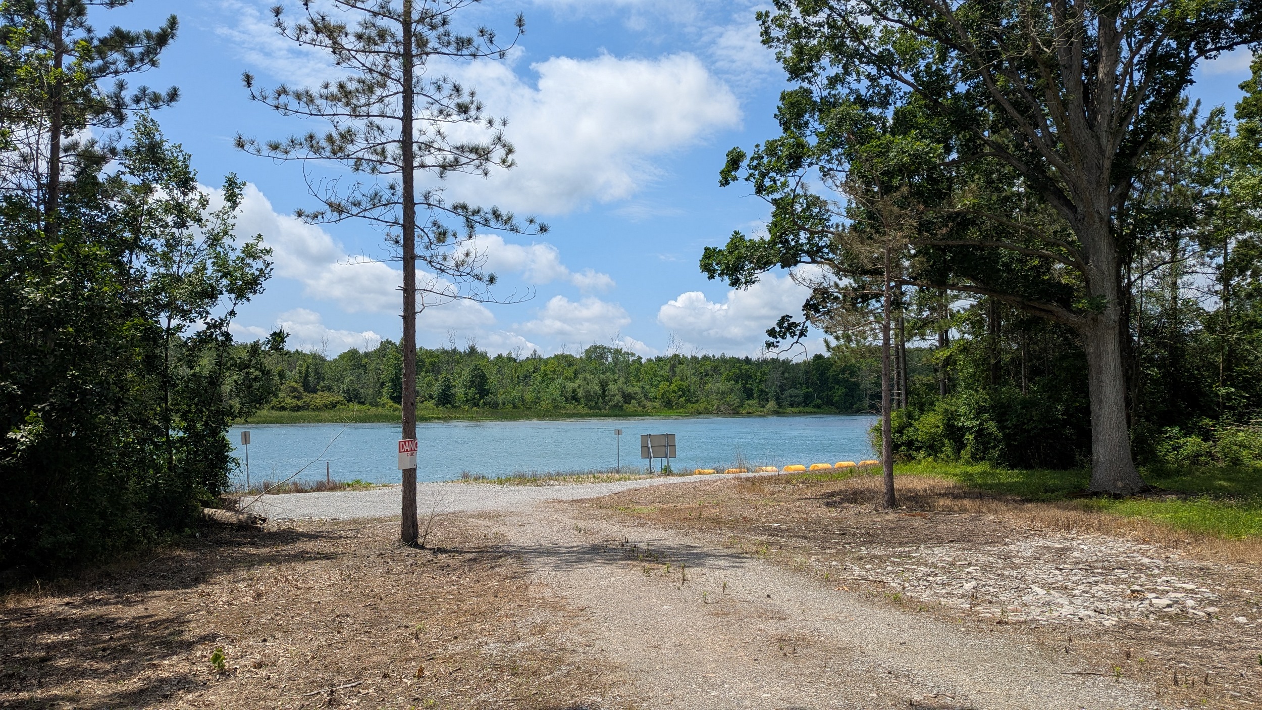
Made it to Chippawa, where the Welland River meets the Niagara. The water seems to be flowing westwards, a direction that would typically be upstream, but I believe that’s because of the main target of today’s walk: the power canal.

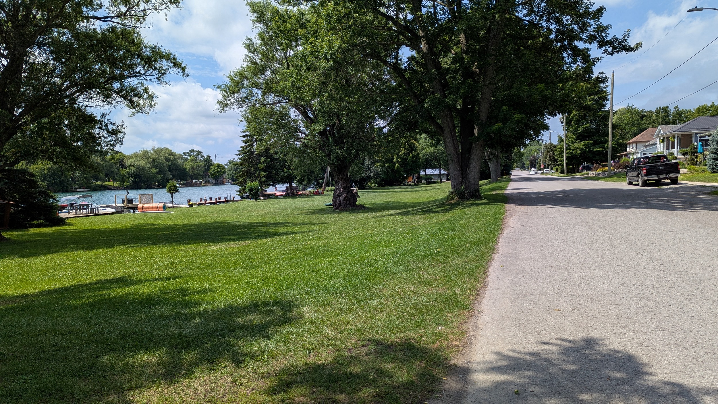
Across at Portage Road, and west along the northern bank. There seems to be some hydroelectric authority here but many private docks encroach the channel. Settler vibes in a community named for indigenous peoples.


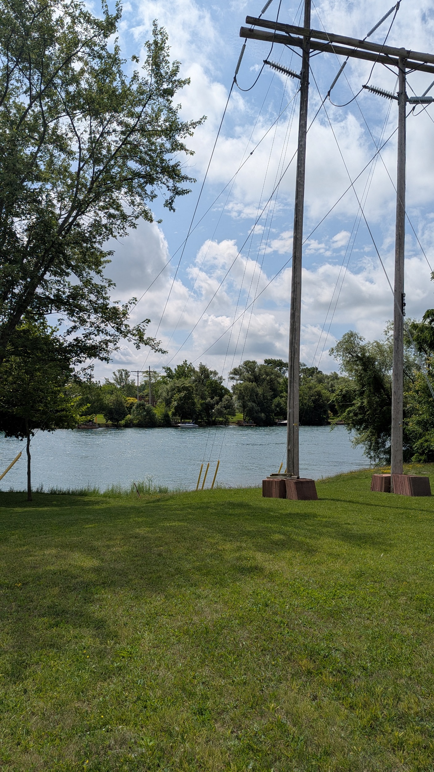
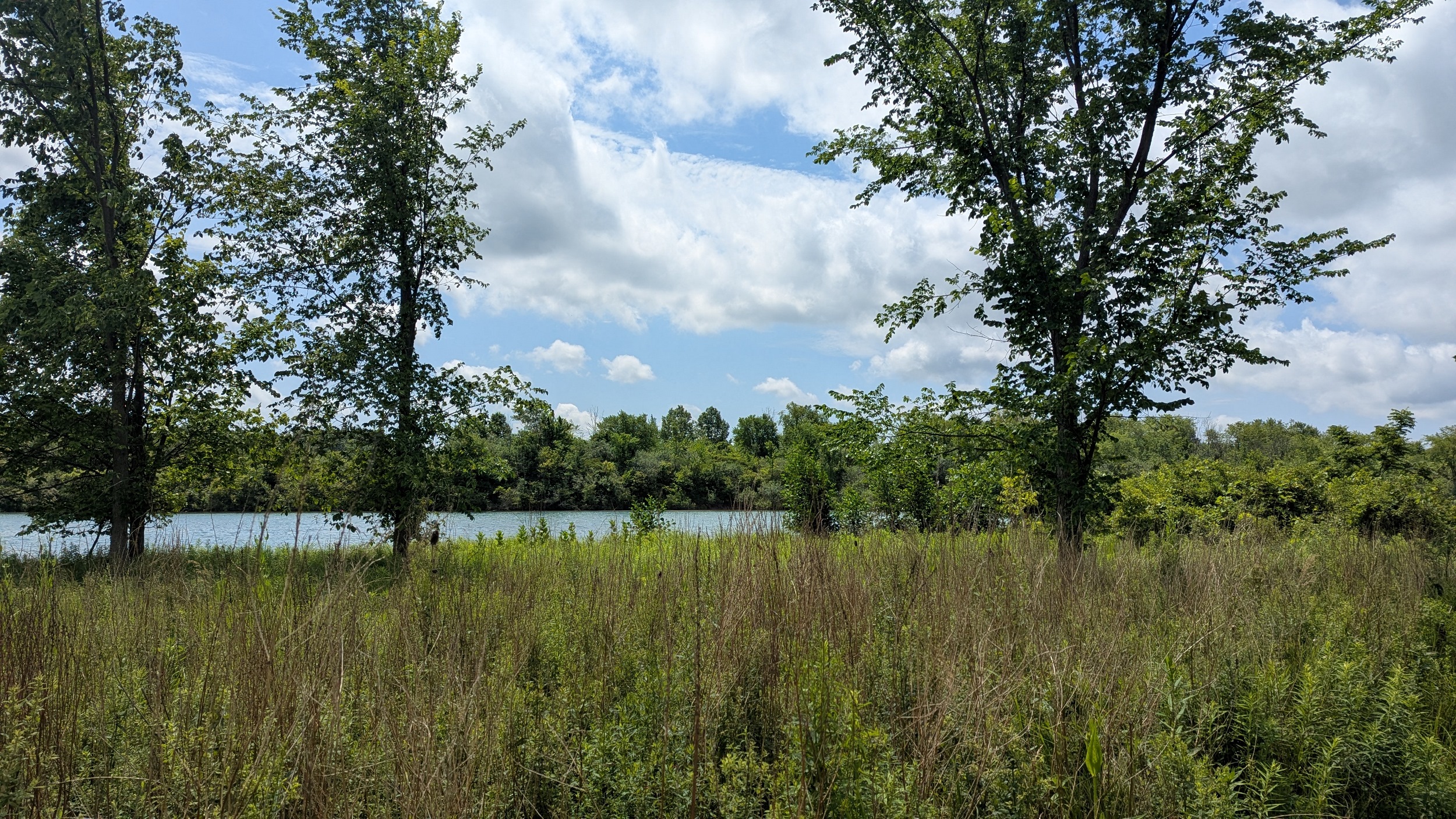
Leaving the urban boundary, and wrapping around the back of Marineland. Maybe half a dozen cars pass by on this rural road. View of the river channel is largely obstructed by vegetation until the bridge at Stanley Avenue.

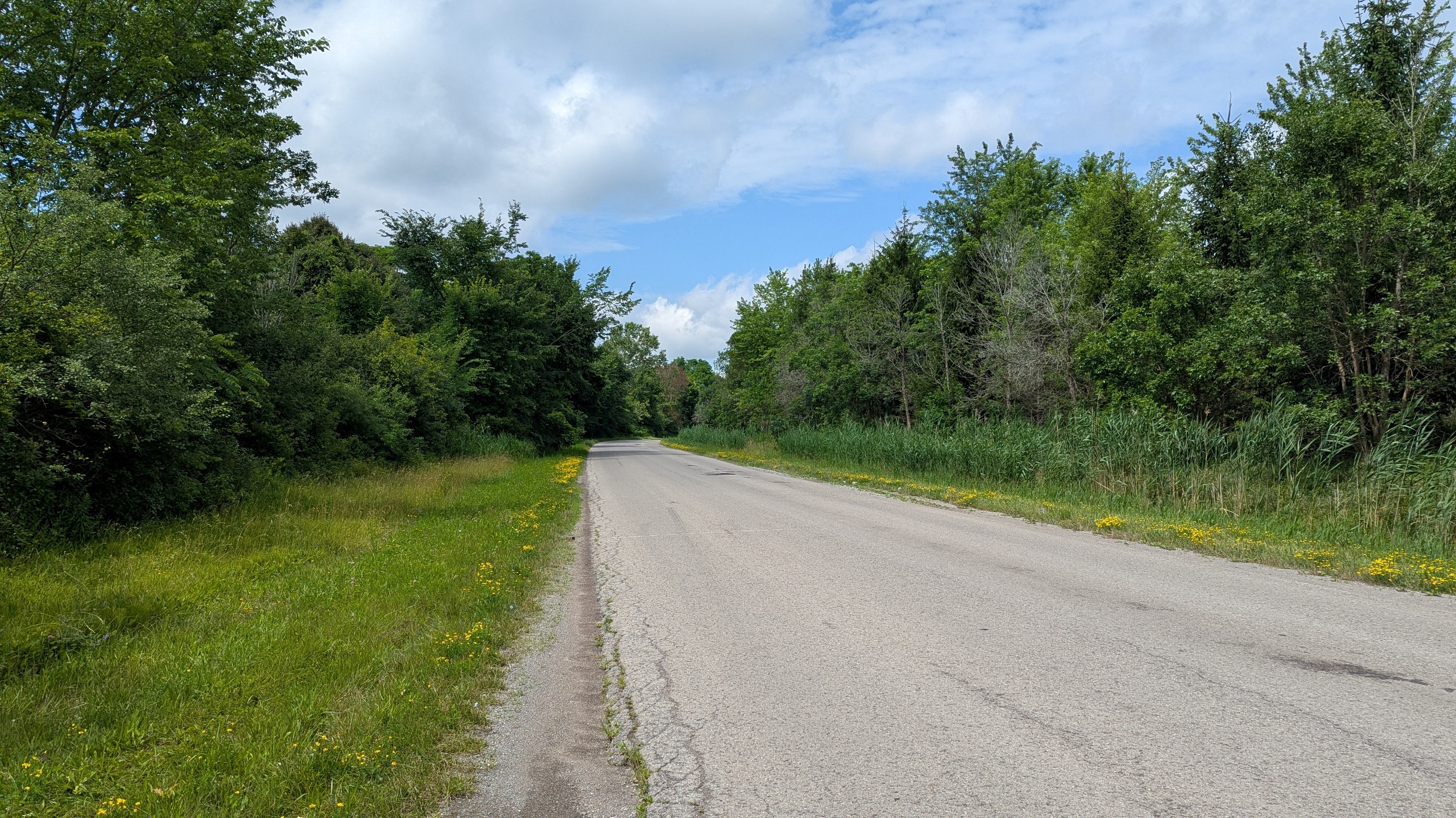

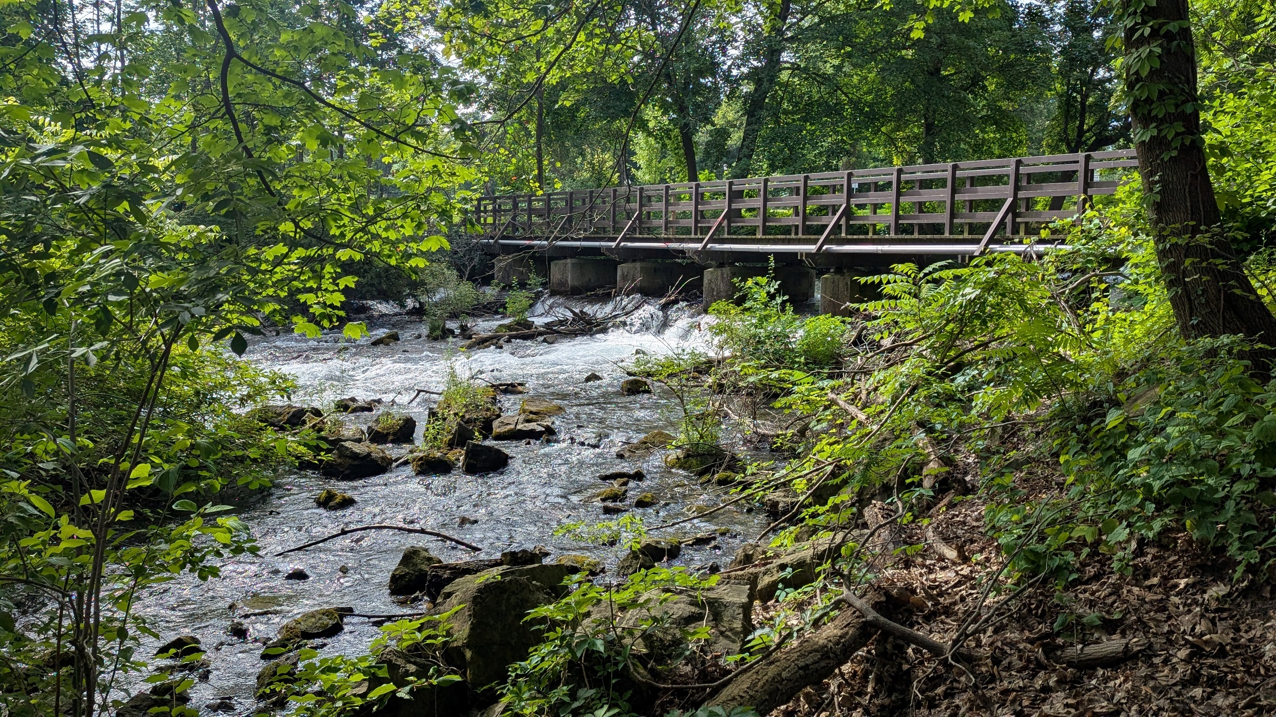
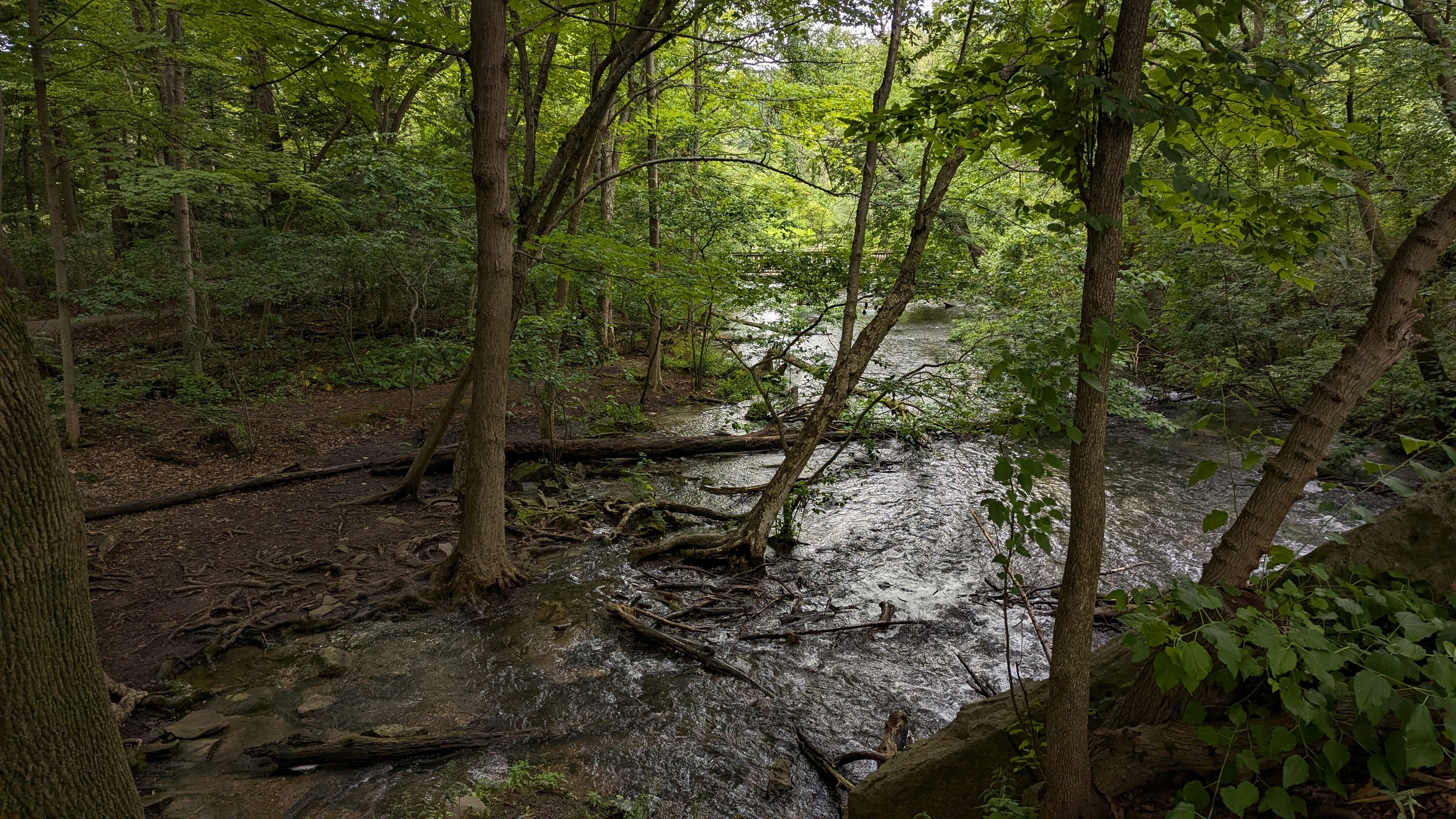
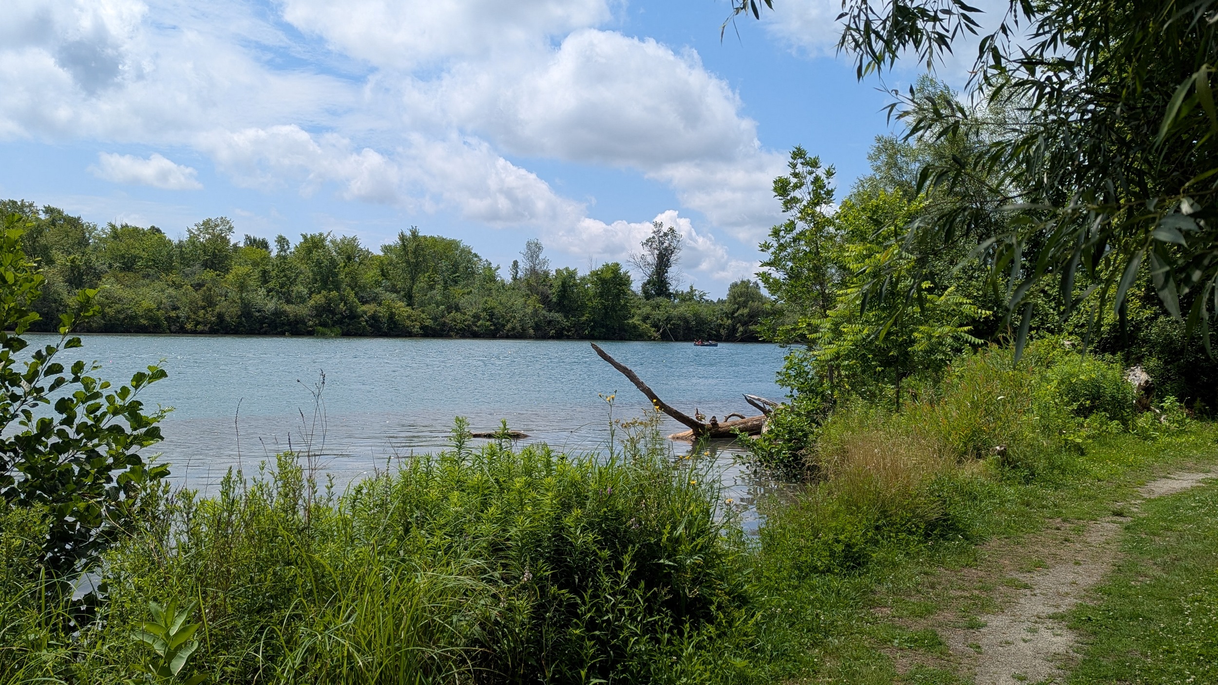
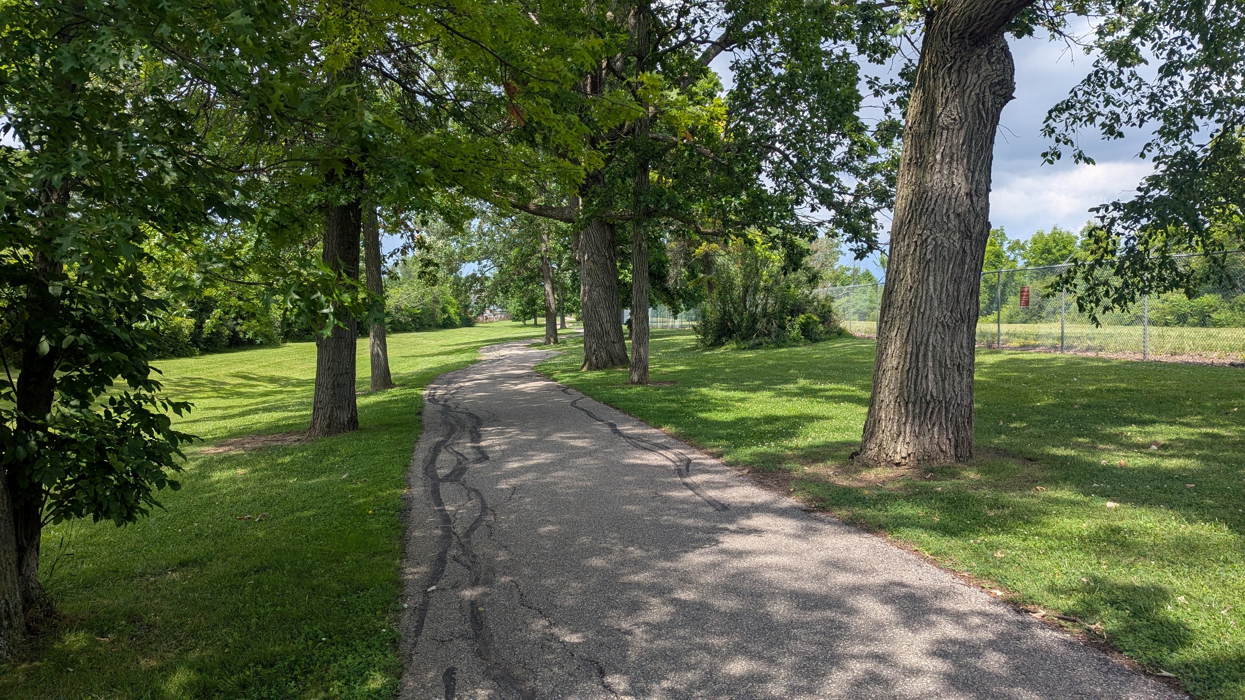
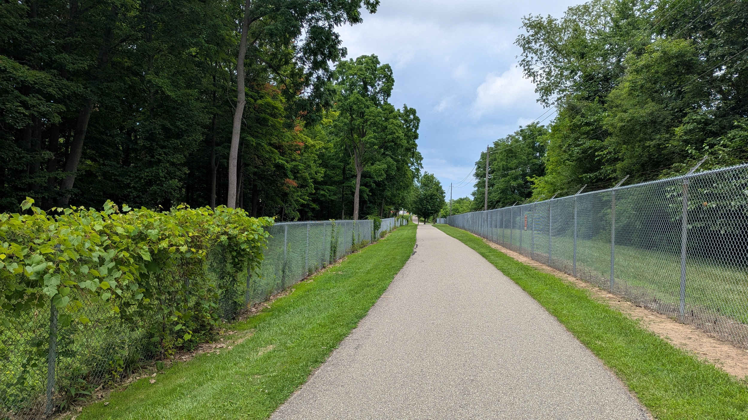
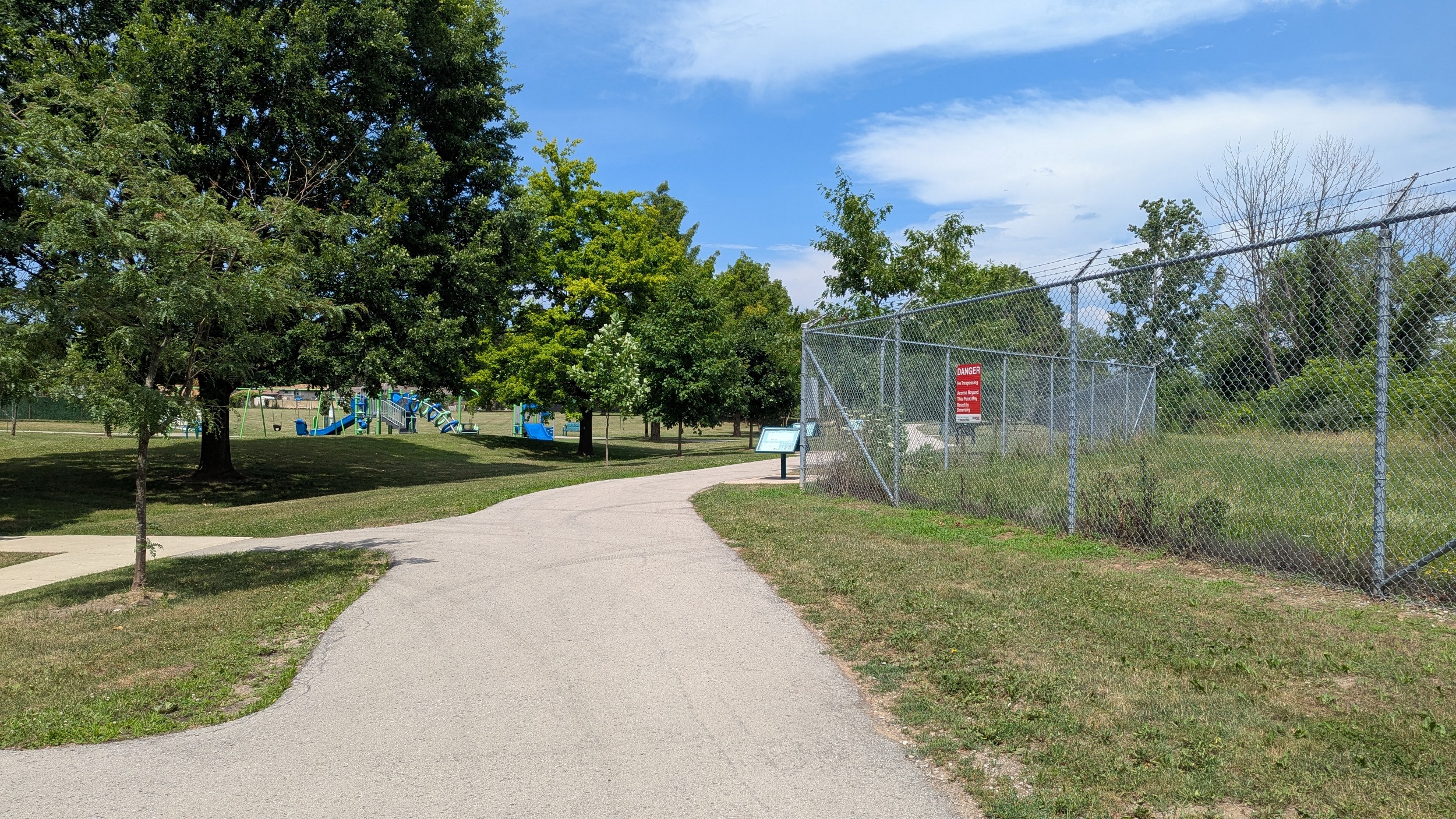
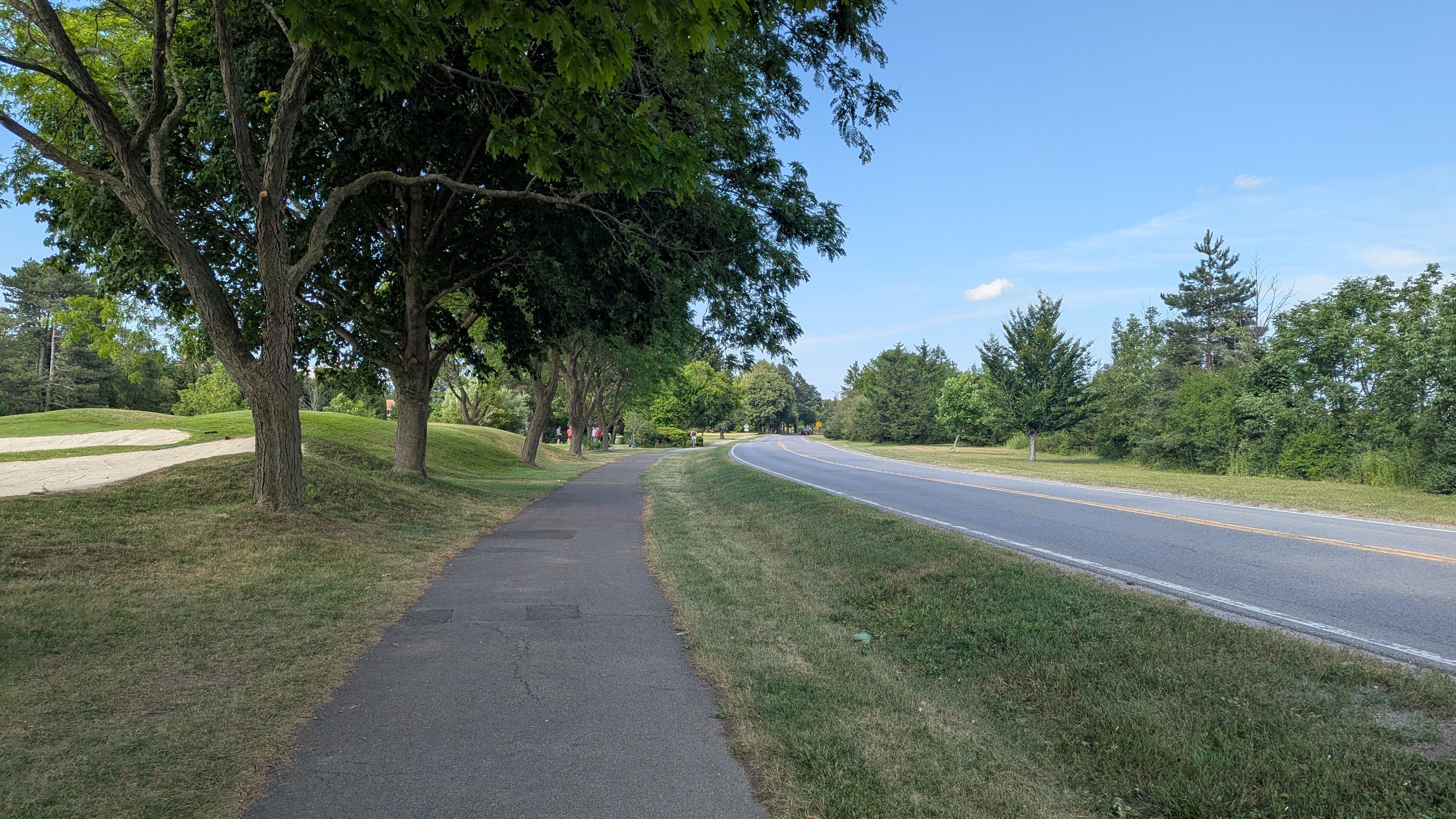
Continuing west along Chippawa Parkway, you come to George Bukator Park. This finally establishes formal riverside trails, which are stonedust and allow for some shade and cool breeze, just what’s needed on a hot muggy day like today. There’s a couple gaps but it’s fine on such a chill road.
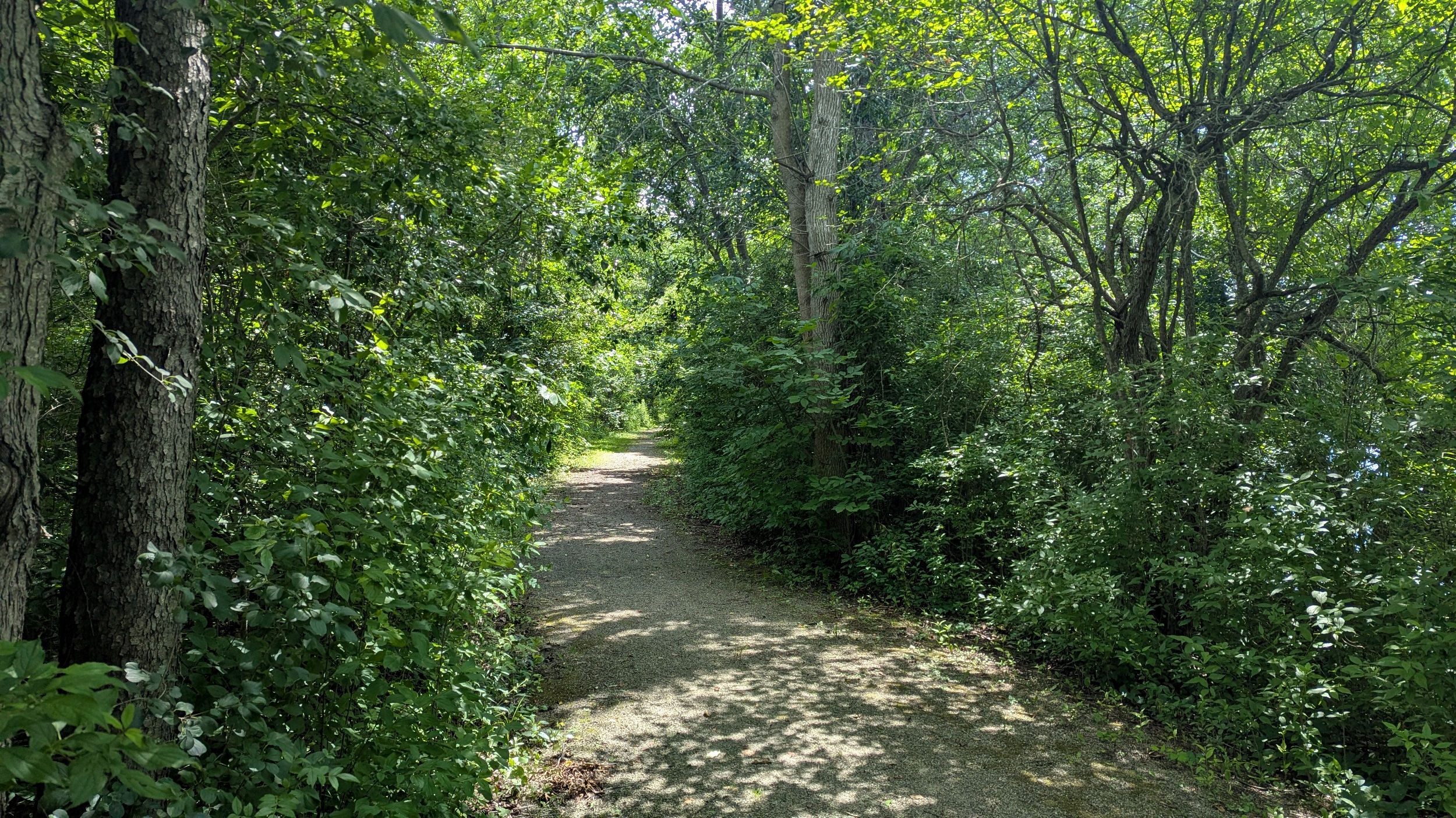
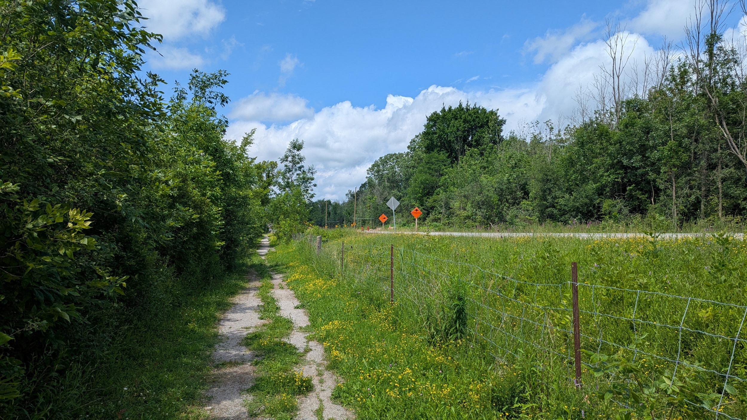
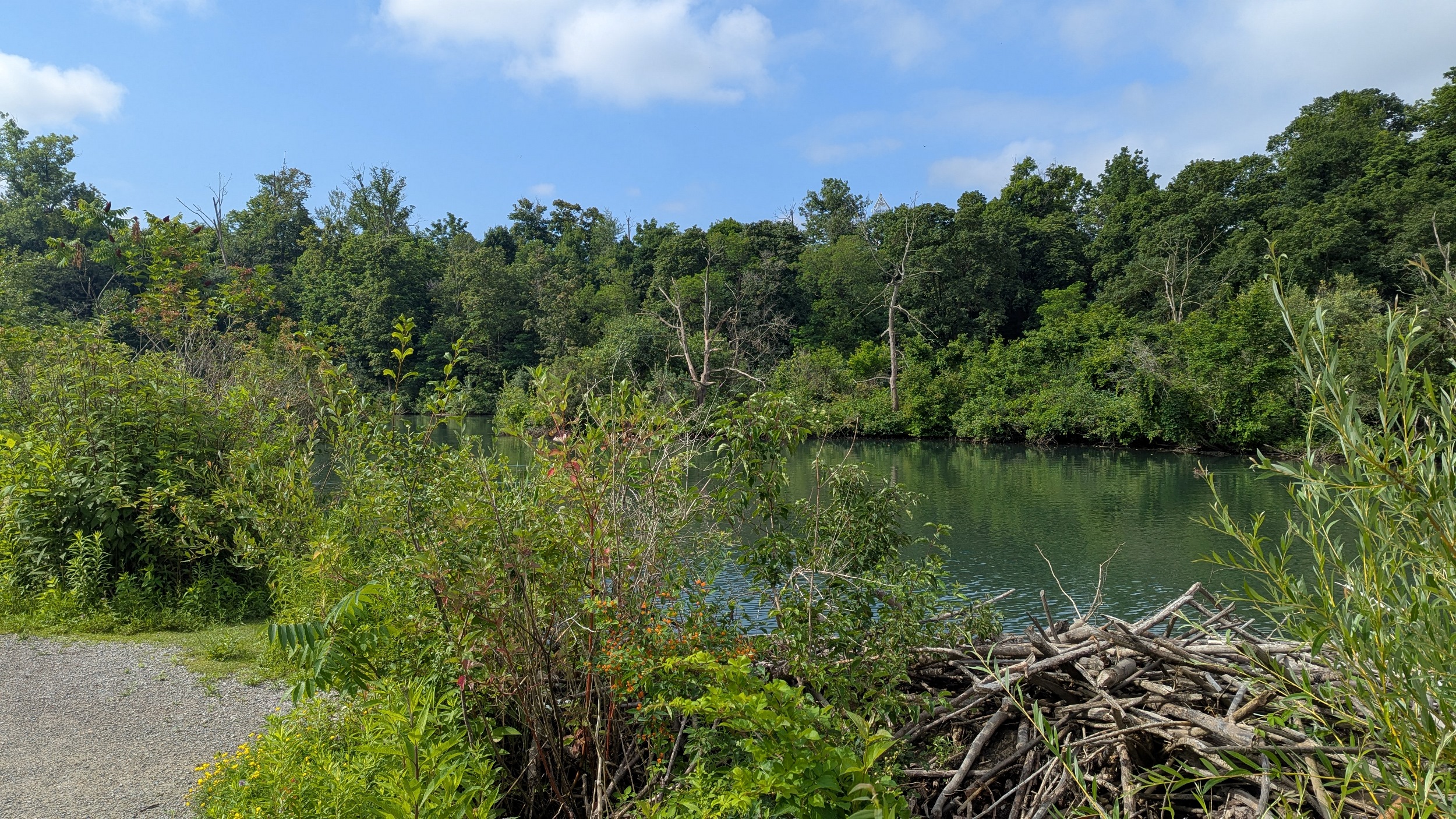
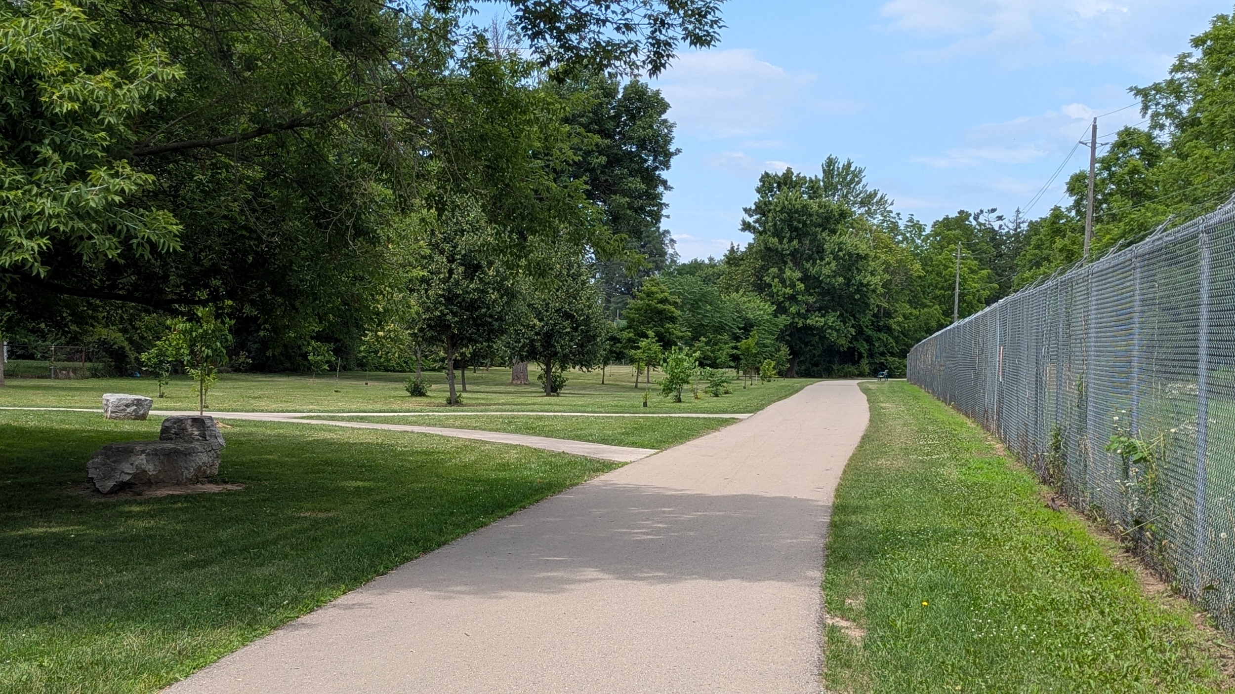
The scenic views from the trail continue for the park’s 3 kilometre stretch along the riverside, until it ends at a parking lot.

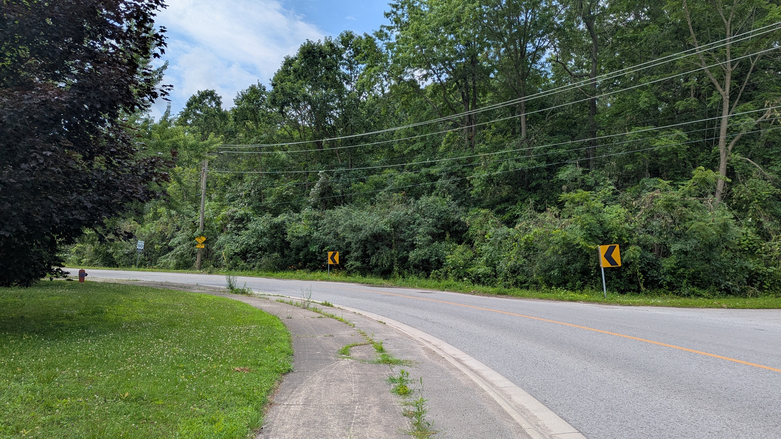
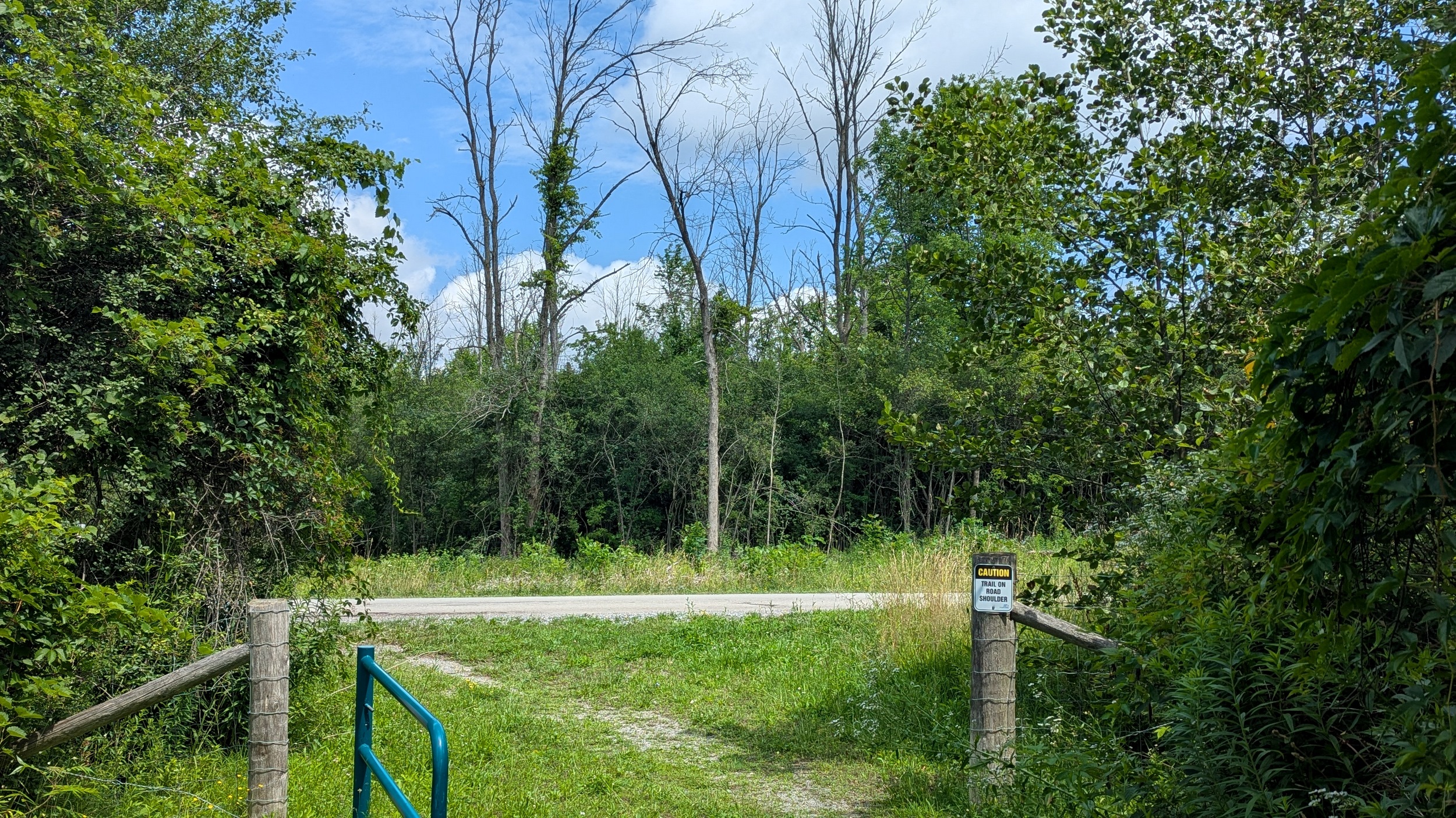
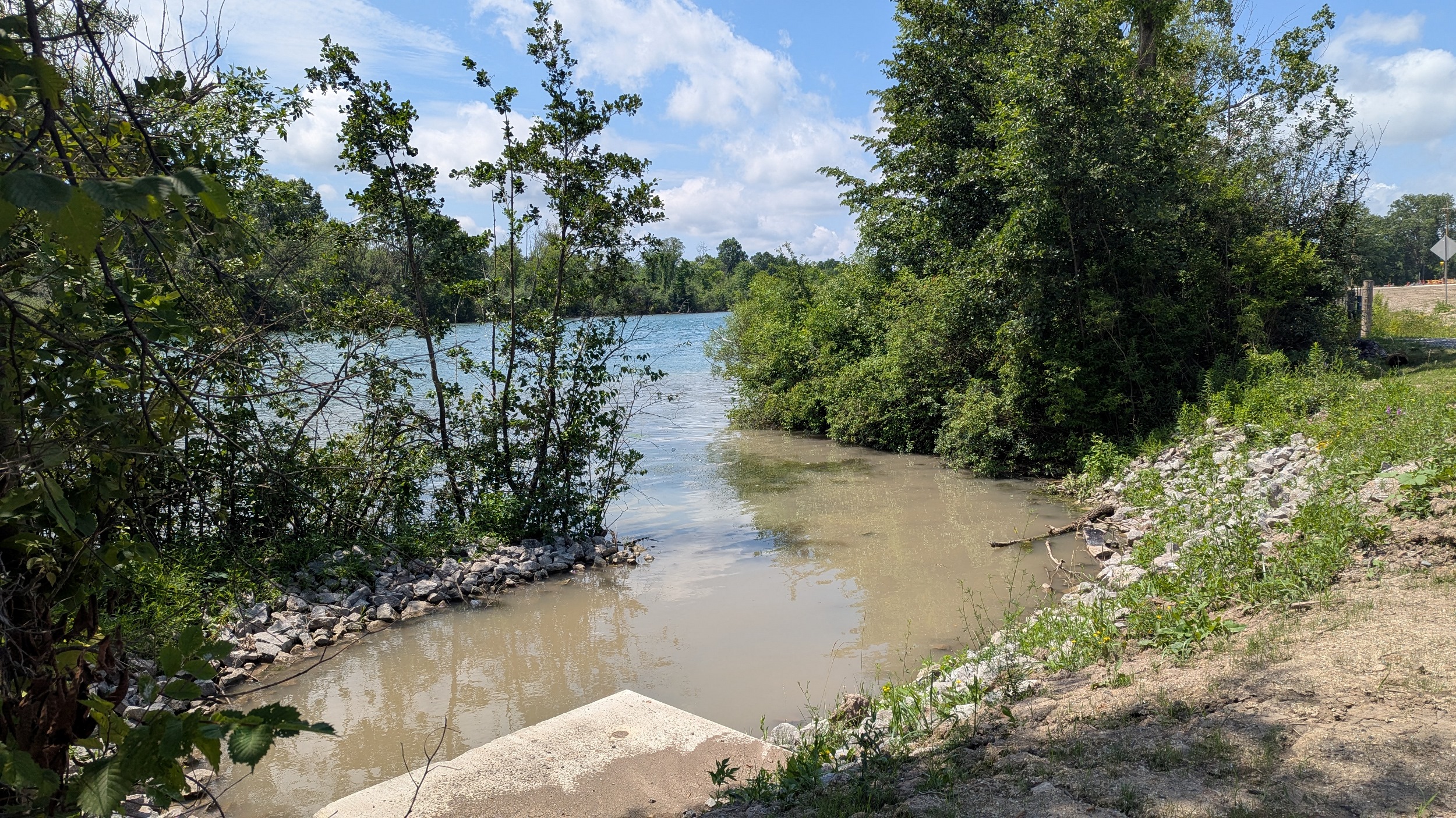
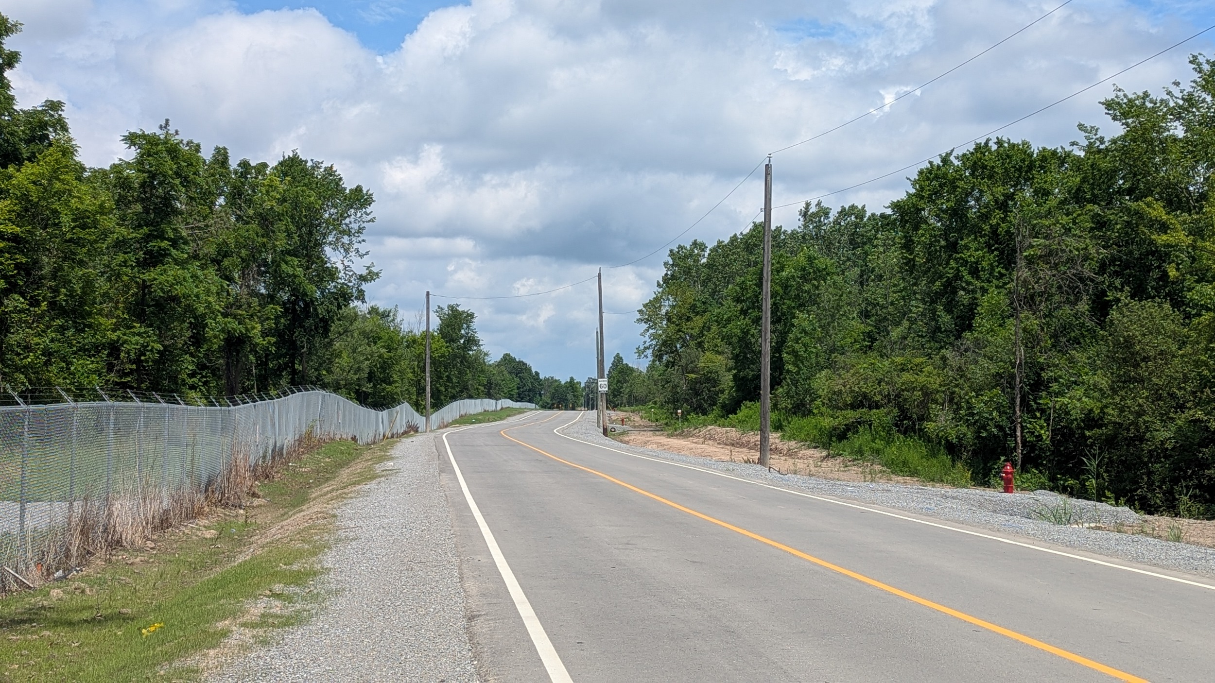
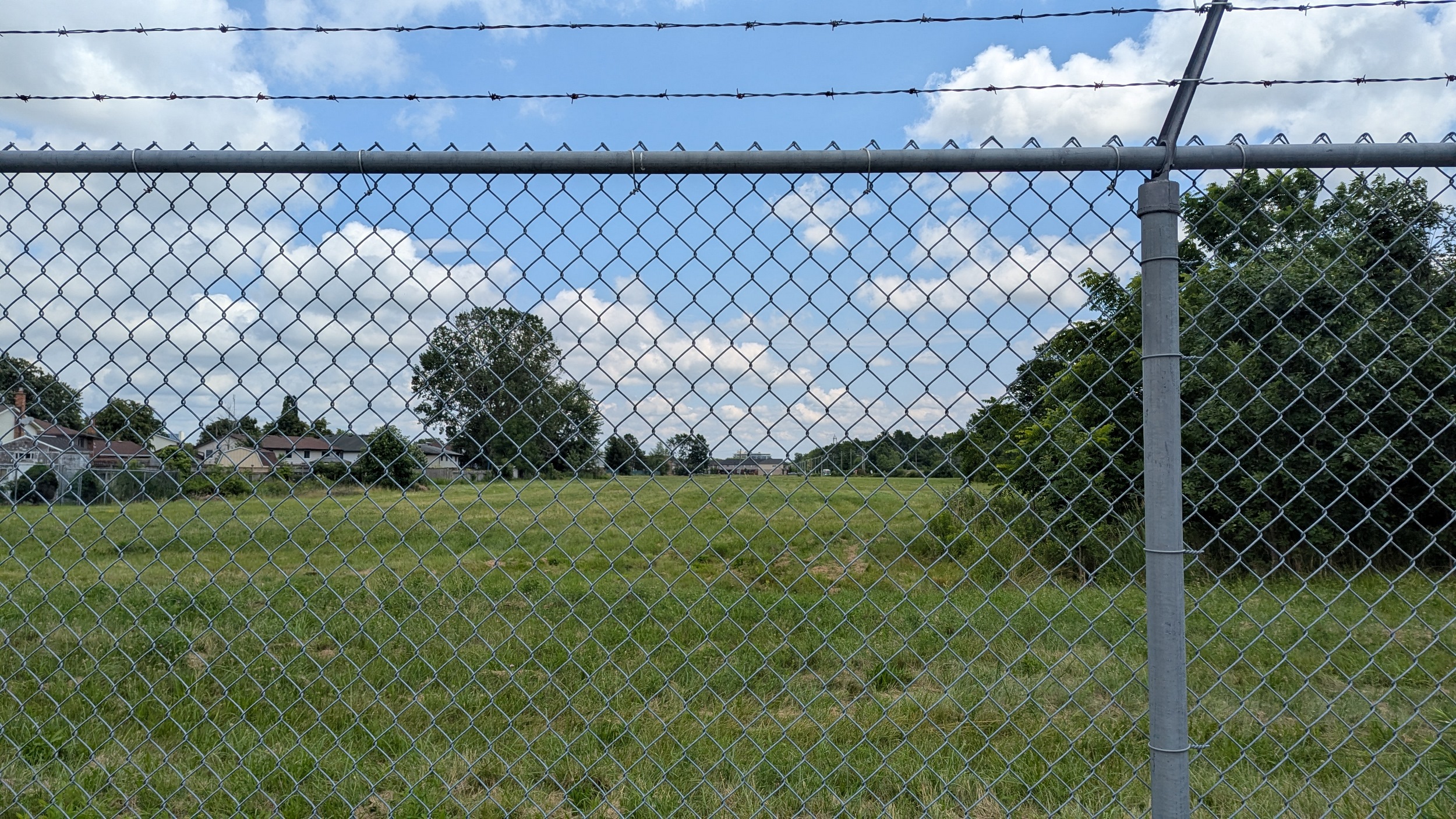
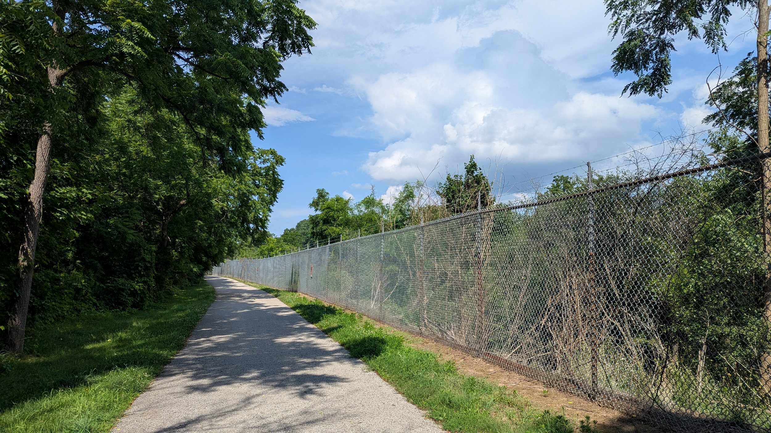
Finally reach my goal of getting to the confluence between the Welland River and the Chippawa-Queenston Power Canal, but thanks to OPG’s significant fencing, there’s no good view of it for the most upstream reach. That makes for a long, hot hike up a recently improved and serviced Dorchester Road.
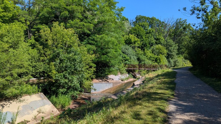
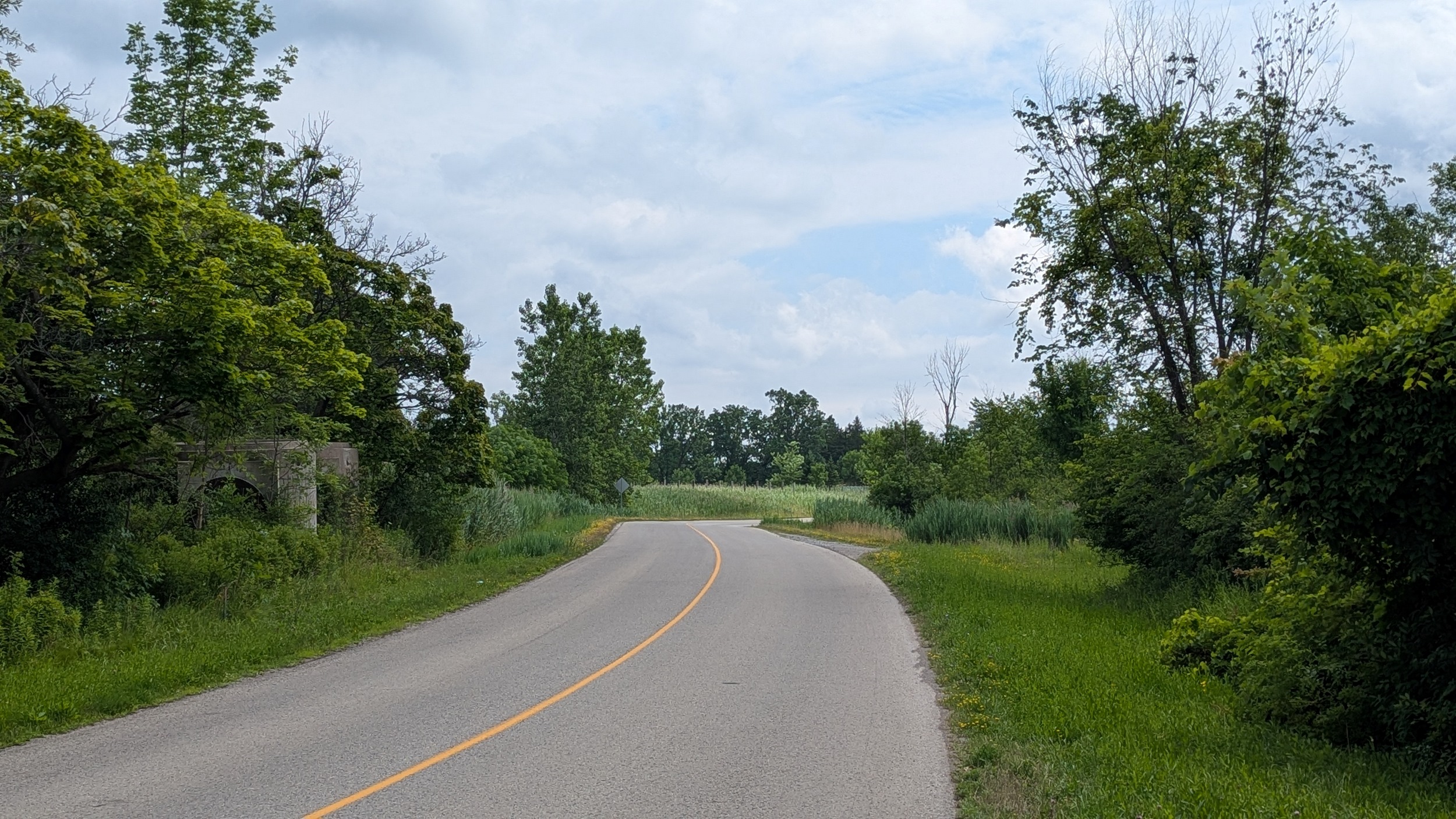
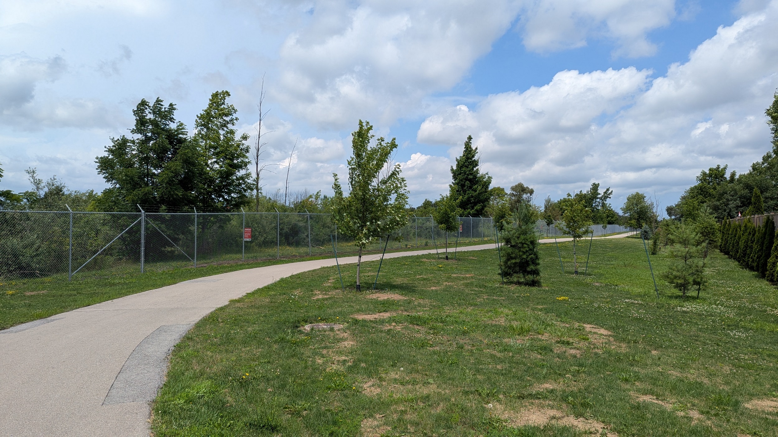
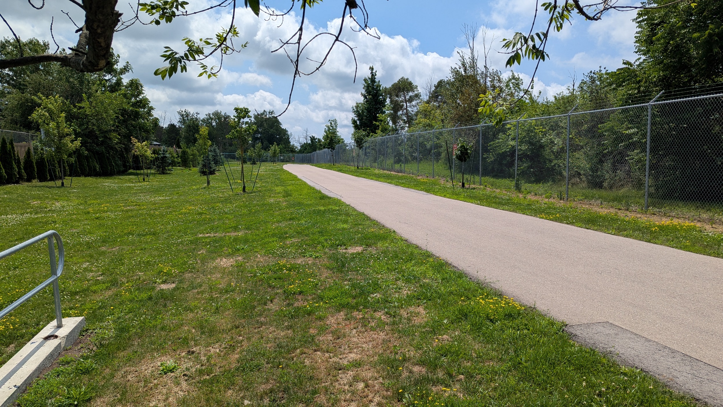
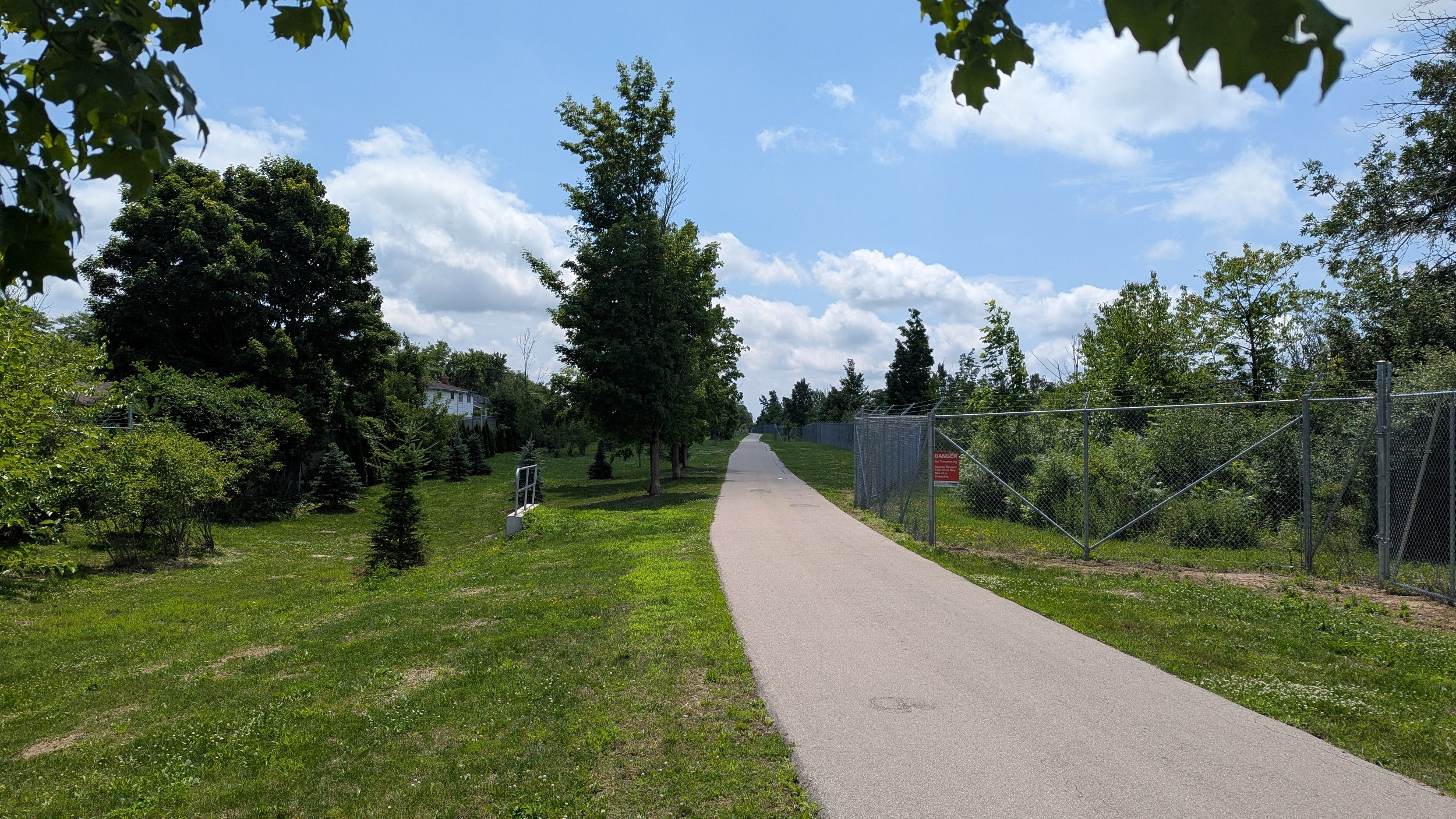
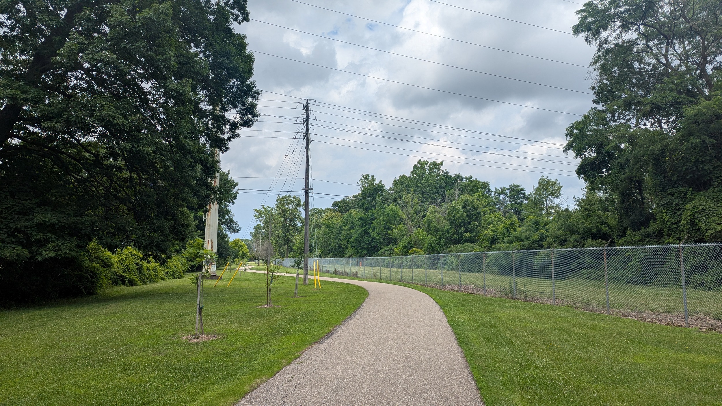
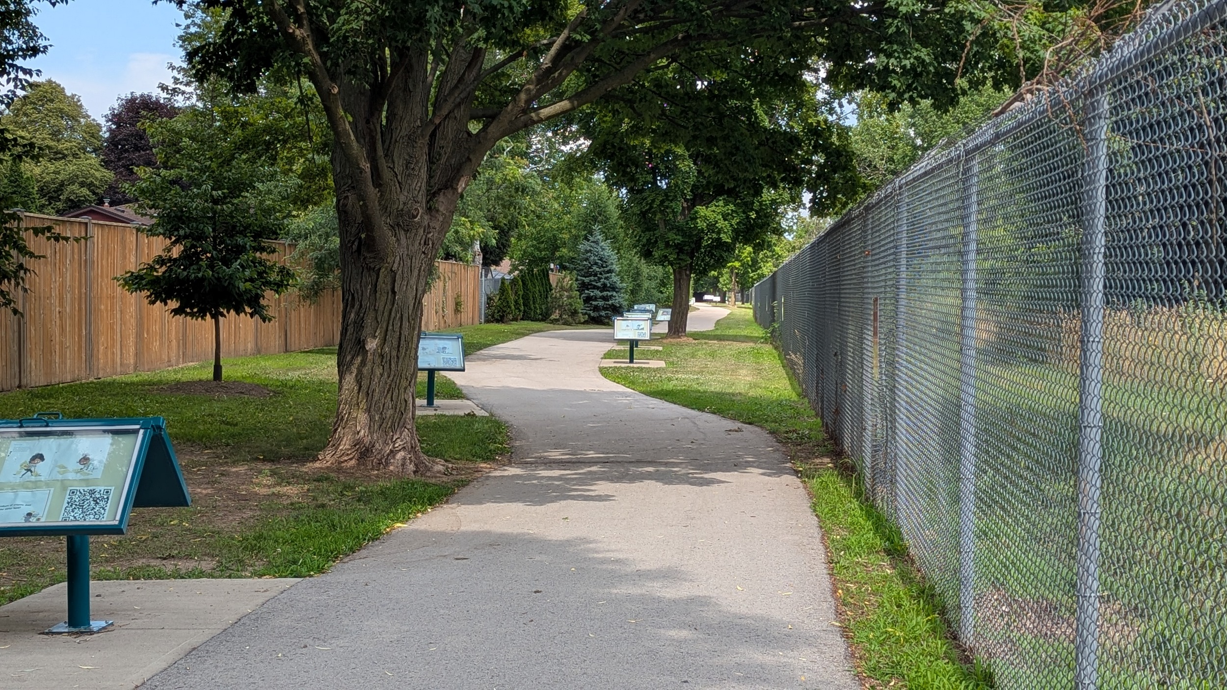
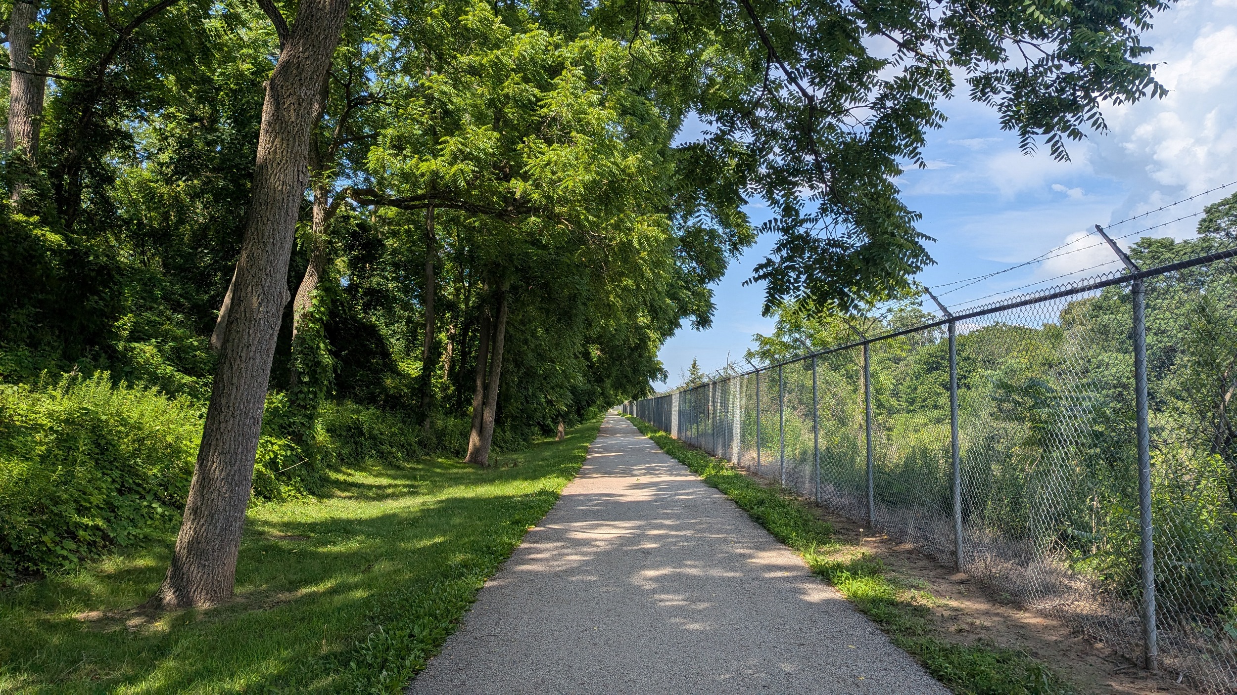
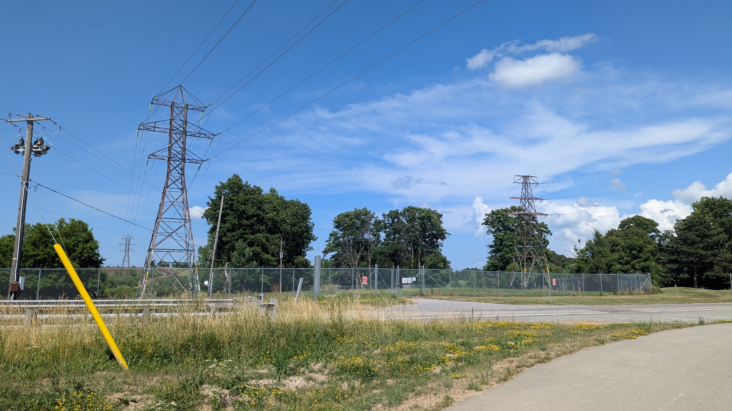
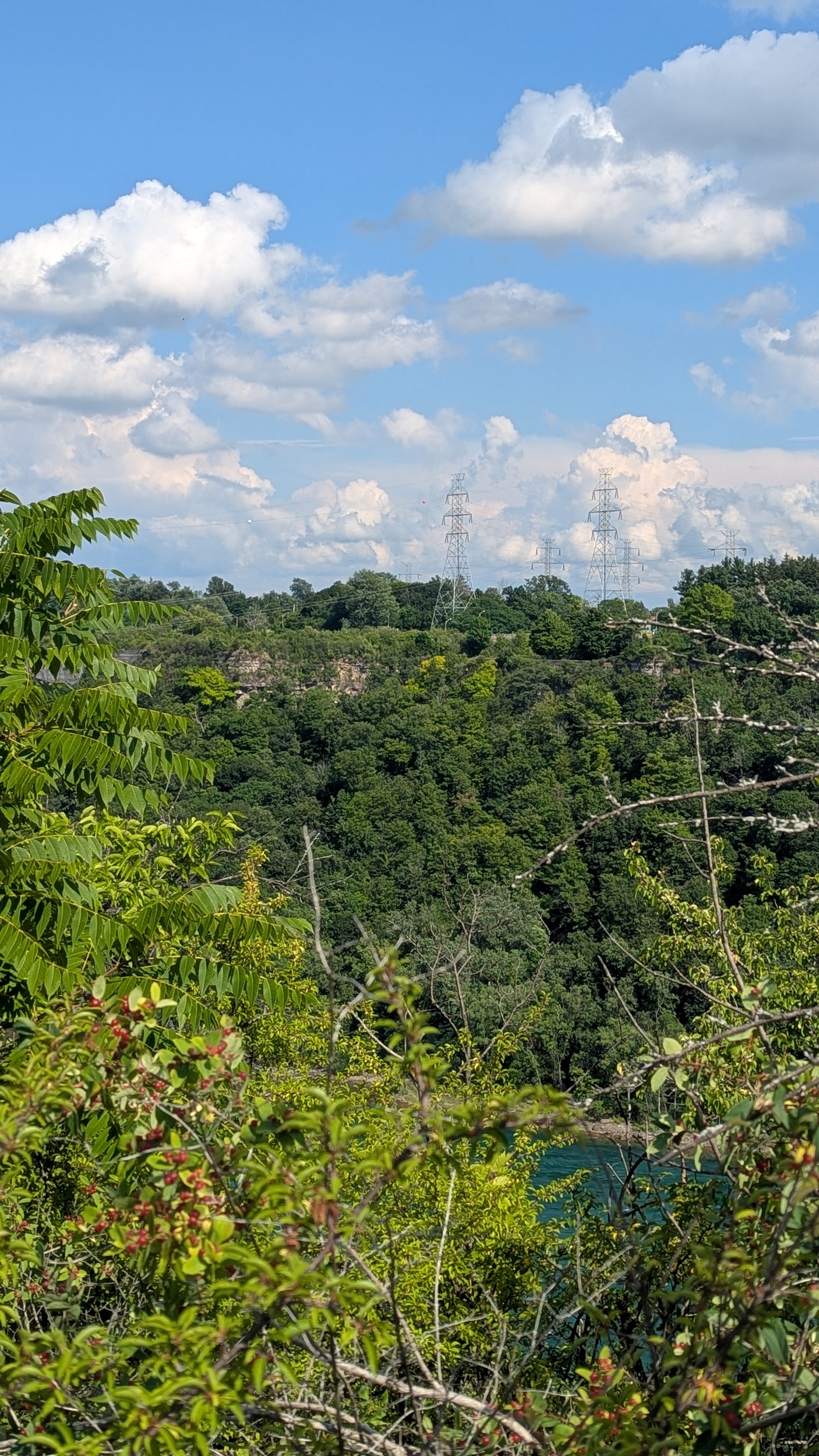
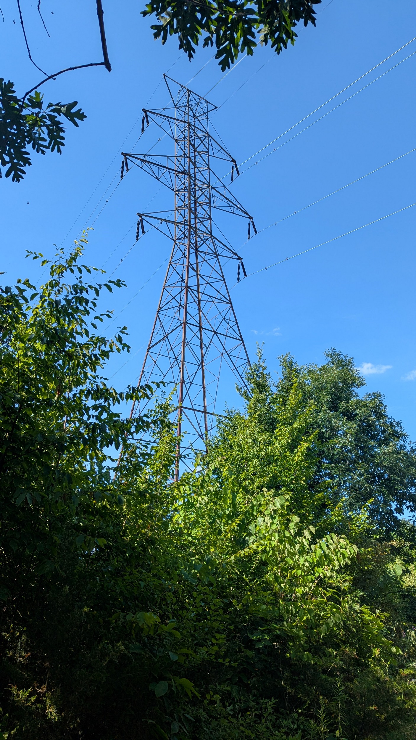
I get back to a formal trail, which is relatively new and a government collaboration. An east-west utility corridor of some sort intersects the trail and power canal, letting you take a jog closer to the canal. I can hear it, I can smell it, but I still can’t see it.

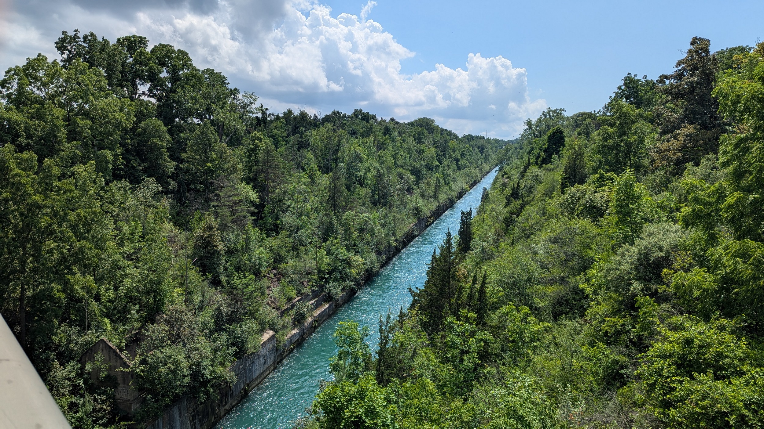
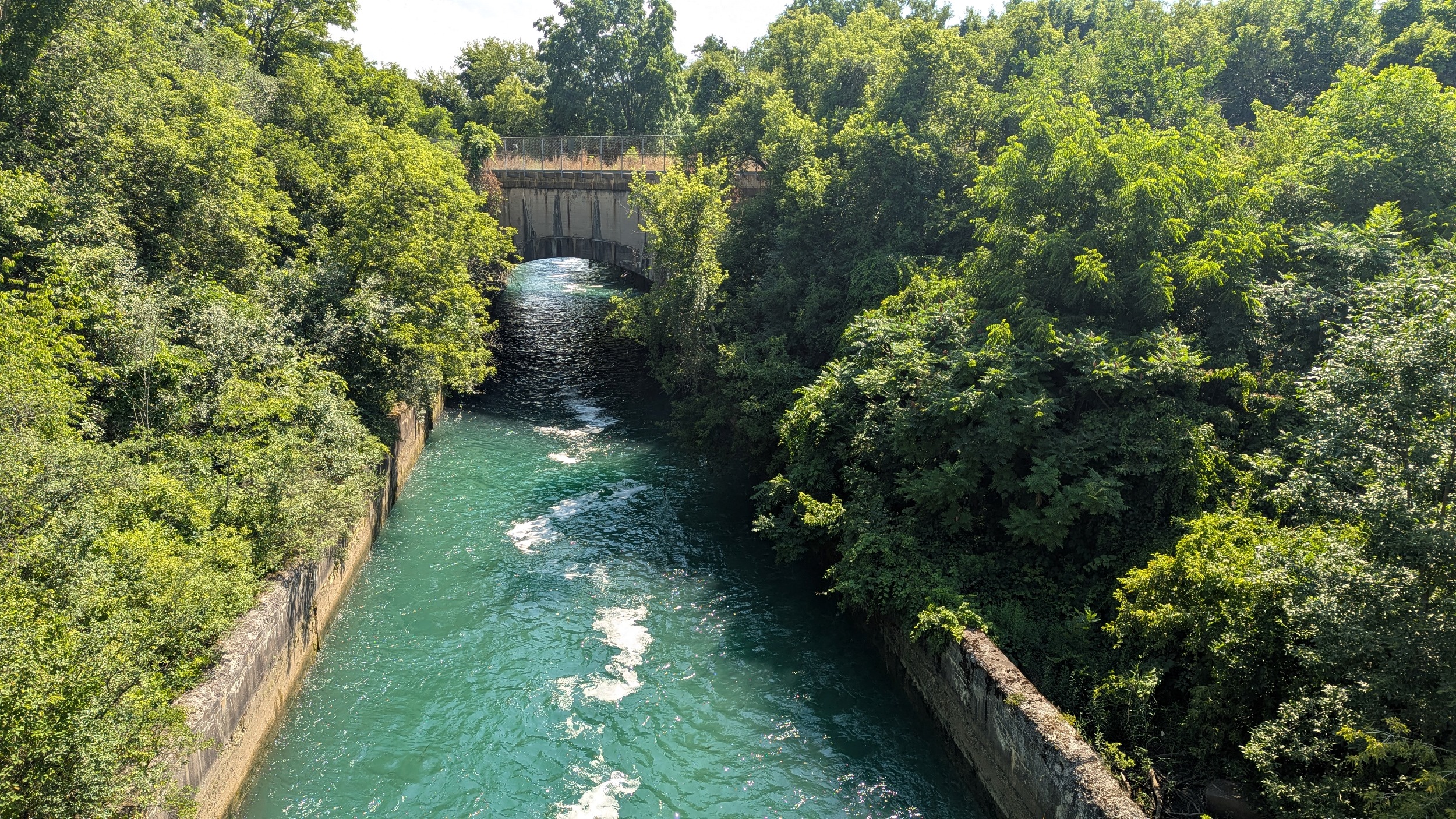
It exists! It’s really real. I get my first look at the power canal at McLeod Road, including a control gate on the north side. Then the trail switches to the west bank, and continues north in a wobbly manner.
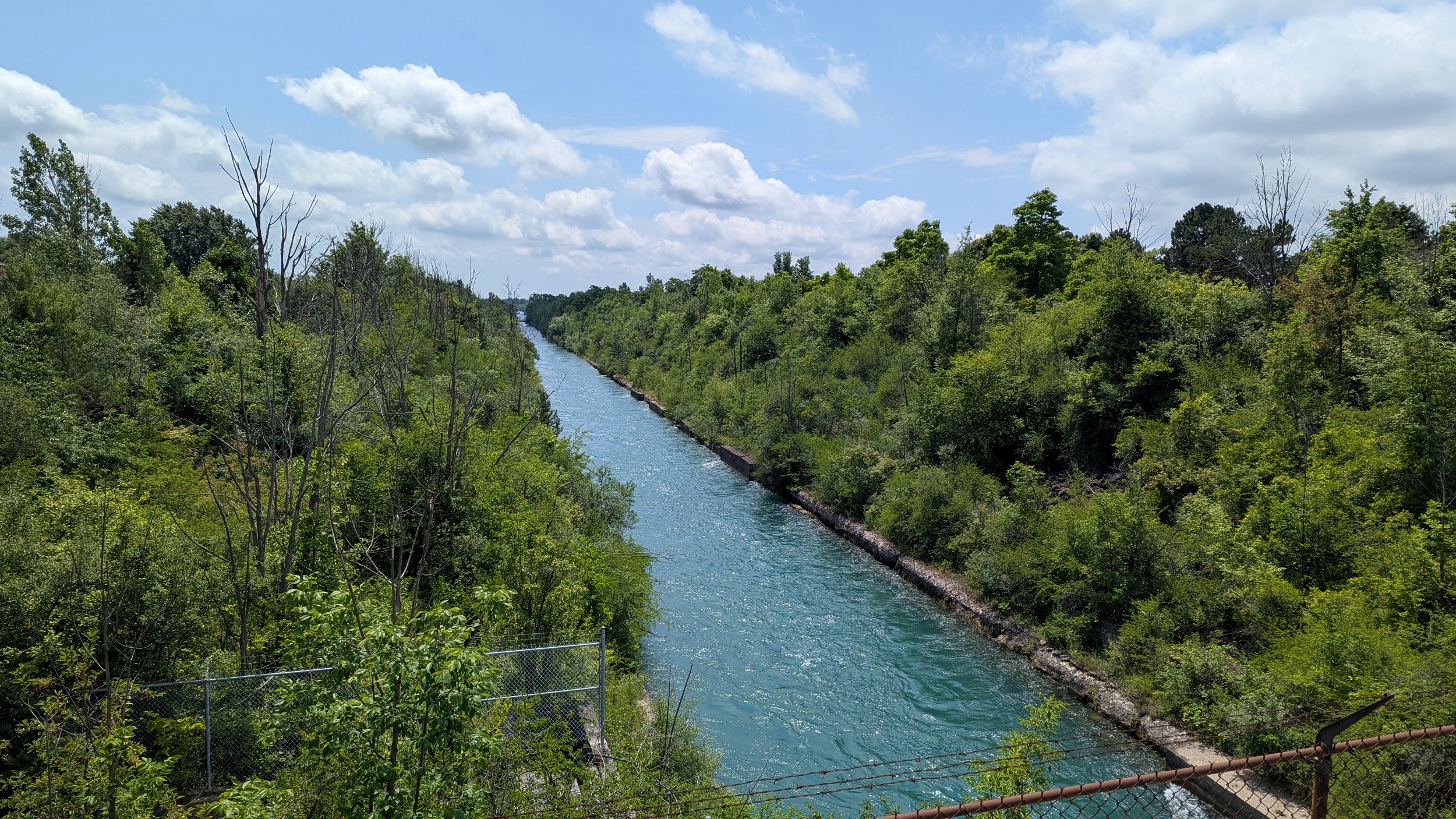
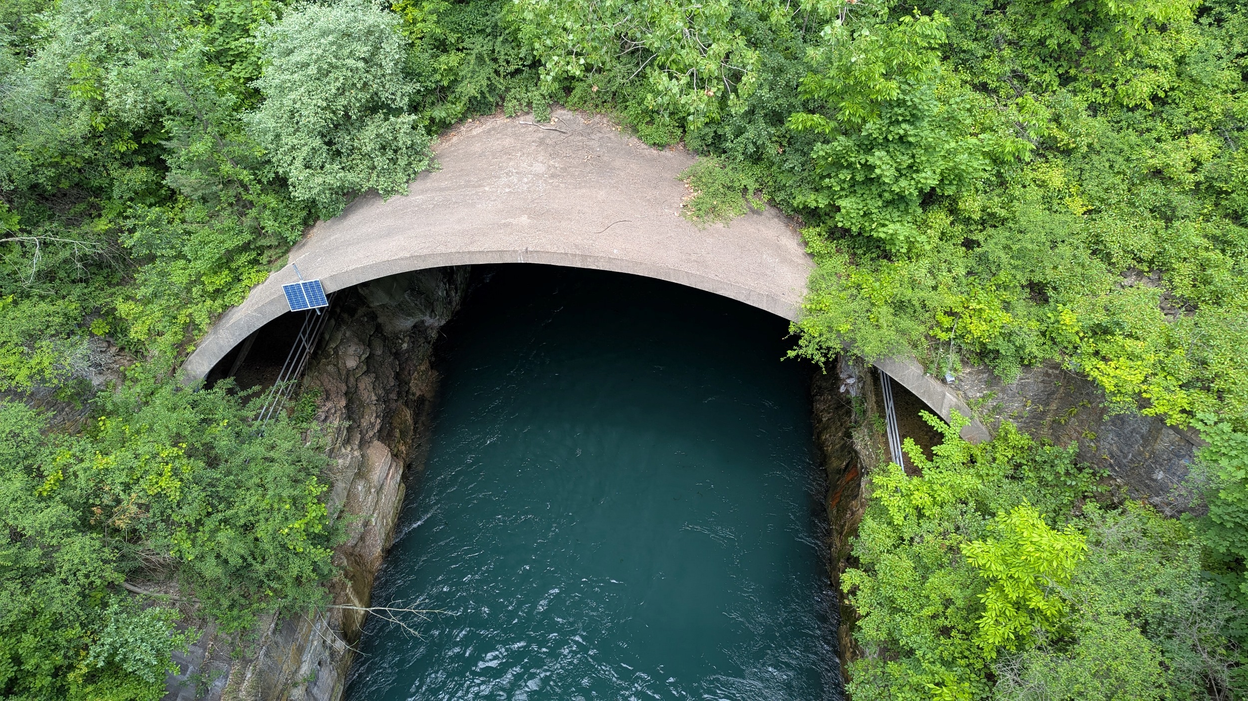
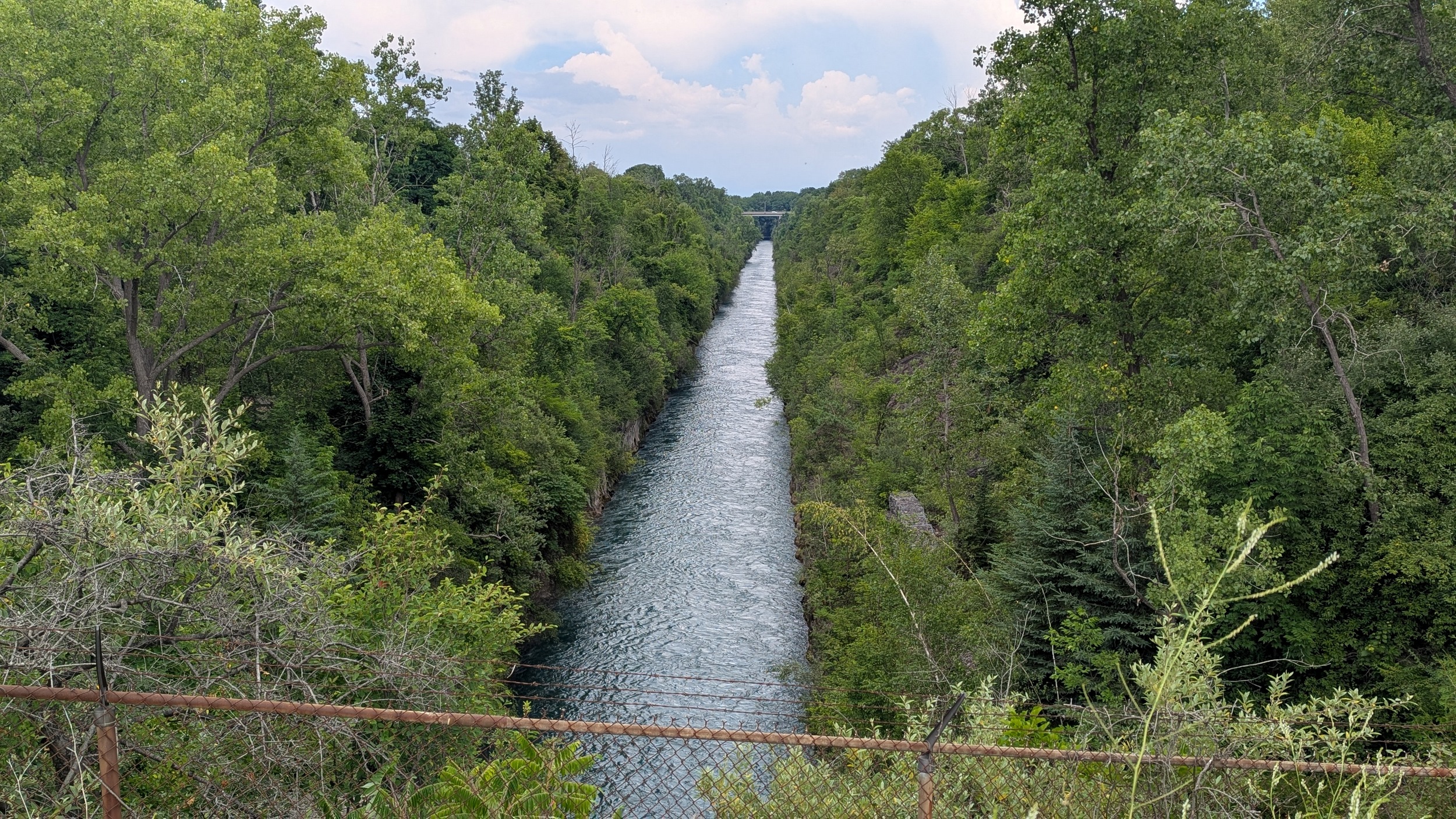
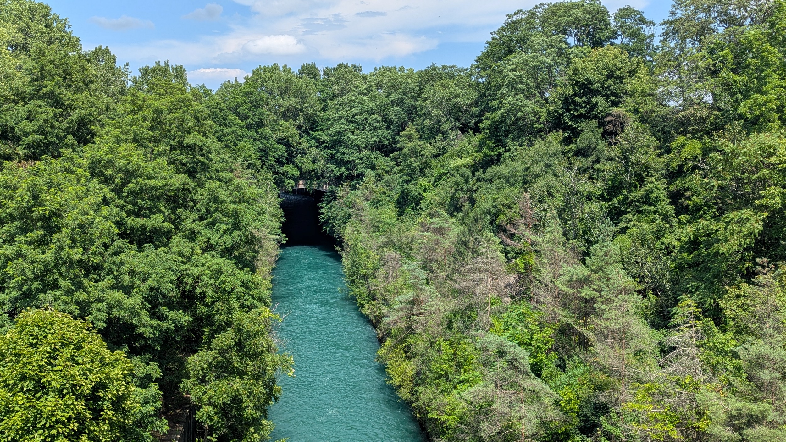
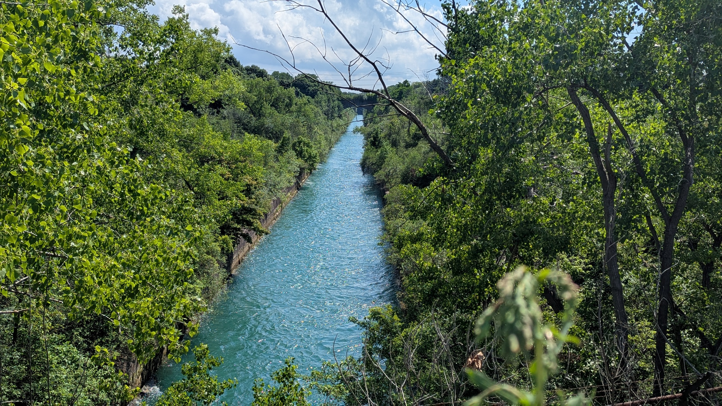
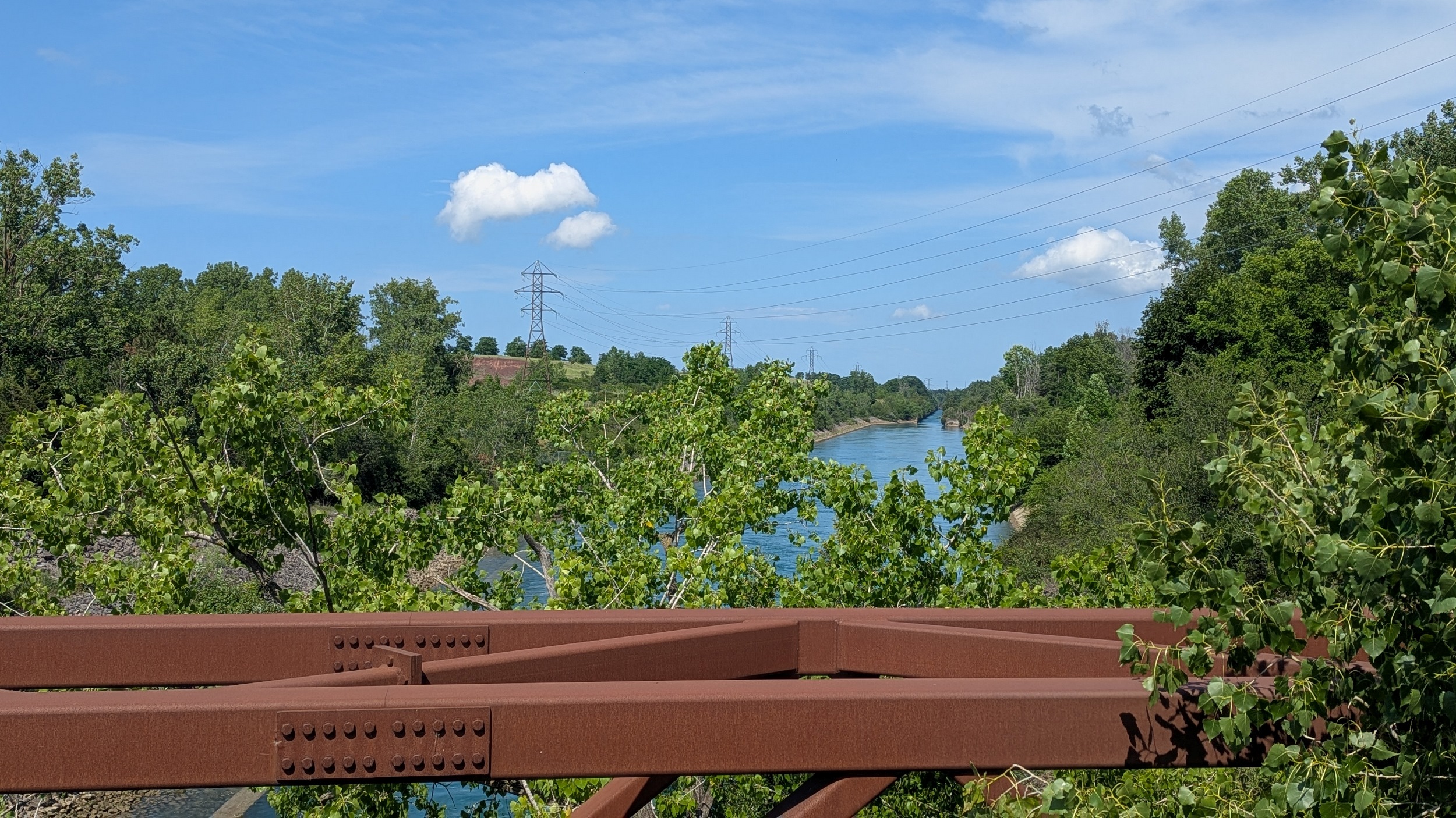
The trail wobbles a bit more, and I even pass a neighbourhood connection, probably the first that isn’t a major road. Then I see the canal again at Royal Manor Drive, and holy cow! It’s way down there! A century old cut into the bedrock below. Just gorgeous.

Across Highway 420 to continue along the canal. This is another long hot trail, but it’s a story way! Next view is from Drummond Road, and is briefly punctuated by cool rain.

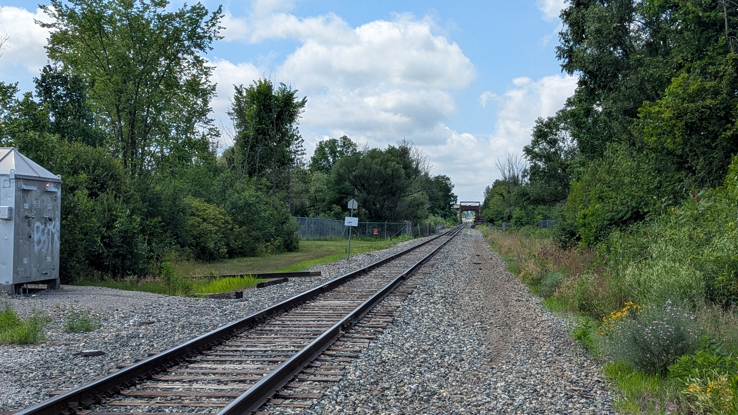
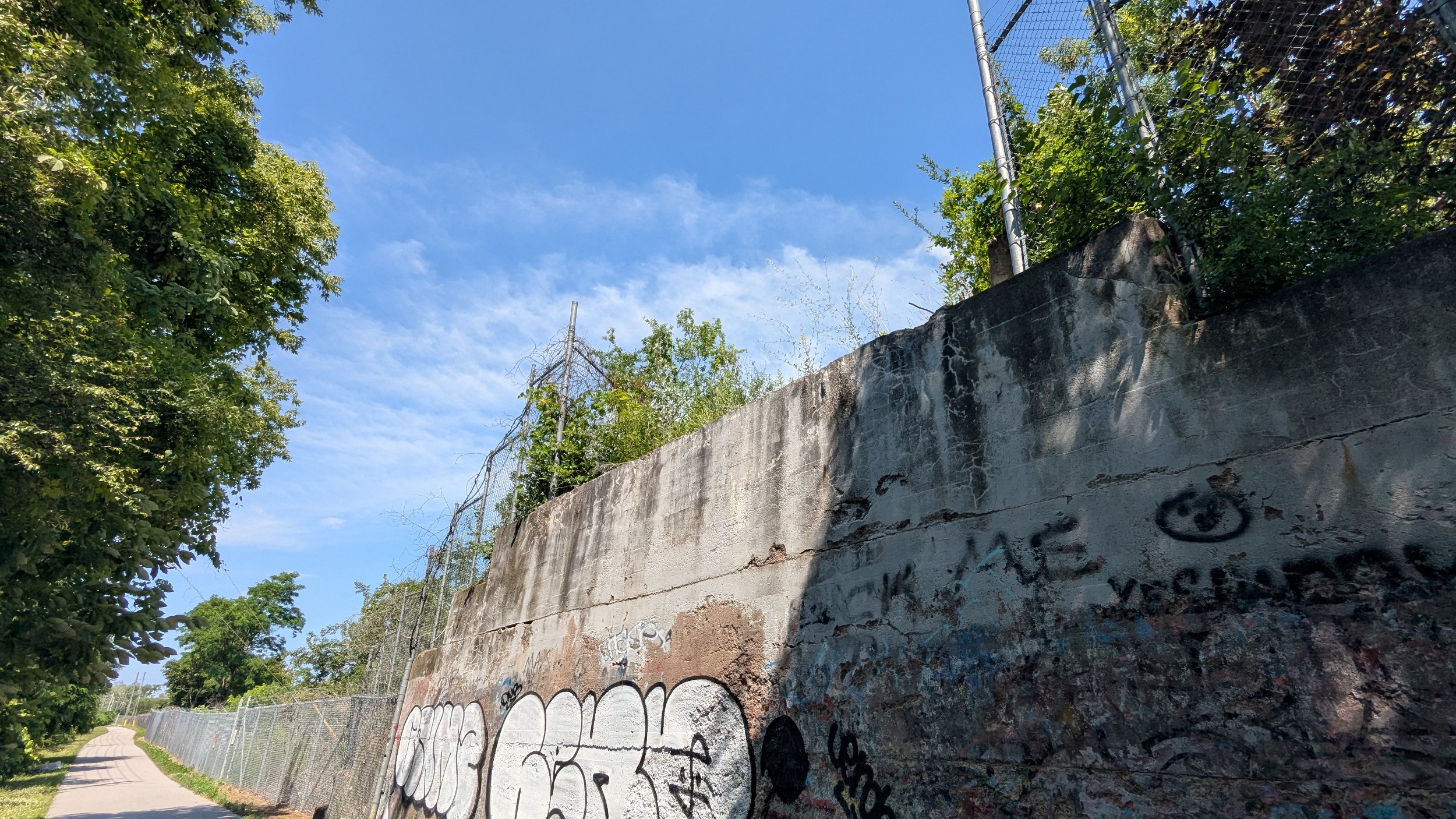
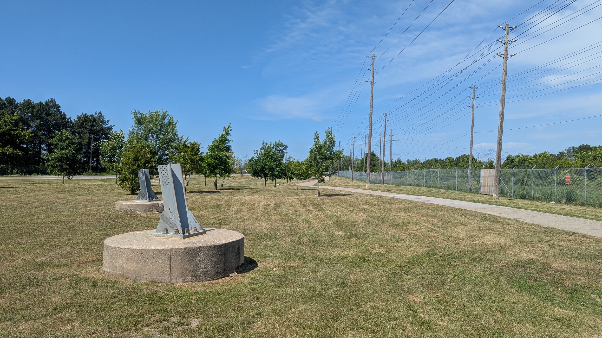
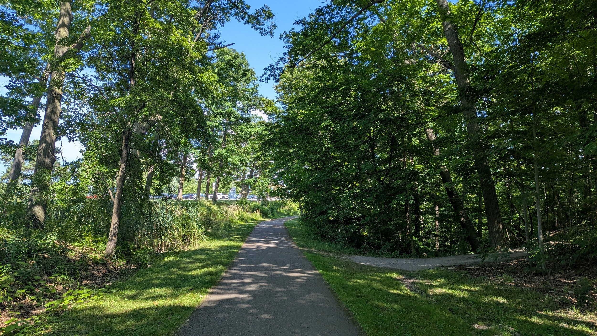
Back on corridor north of Morrison Street. It’s a nice start with large mature tree canopy shading the trail, but then it’s exposed and hot again. Definitely evidence of old railway crossings as the abutments are still there.
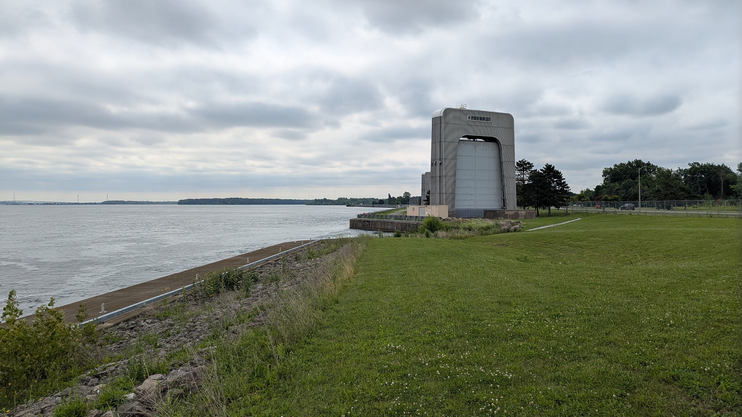
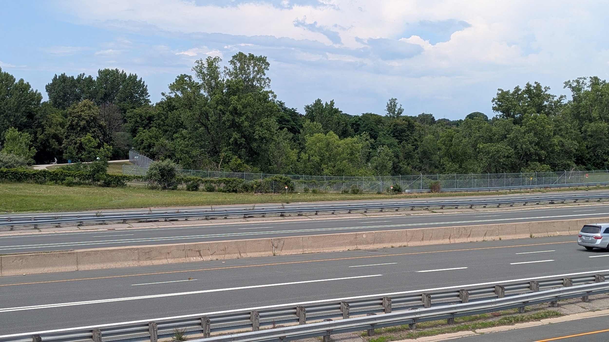
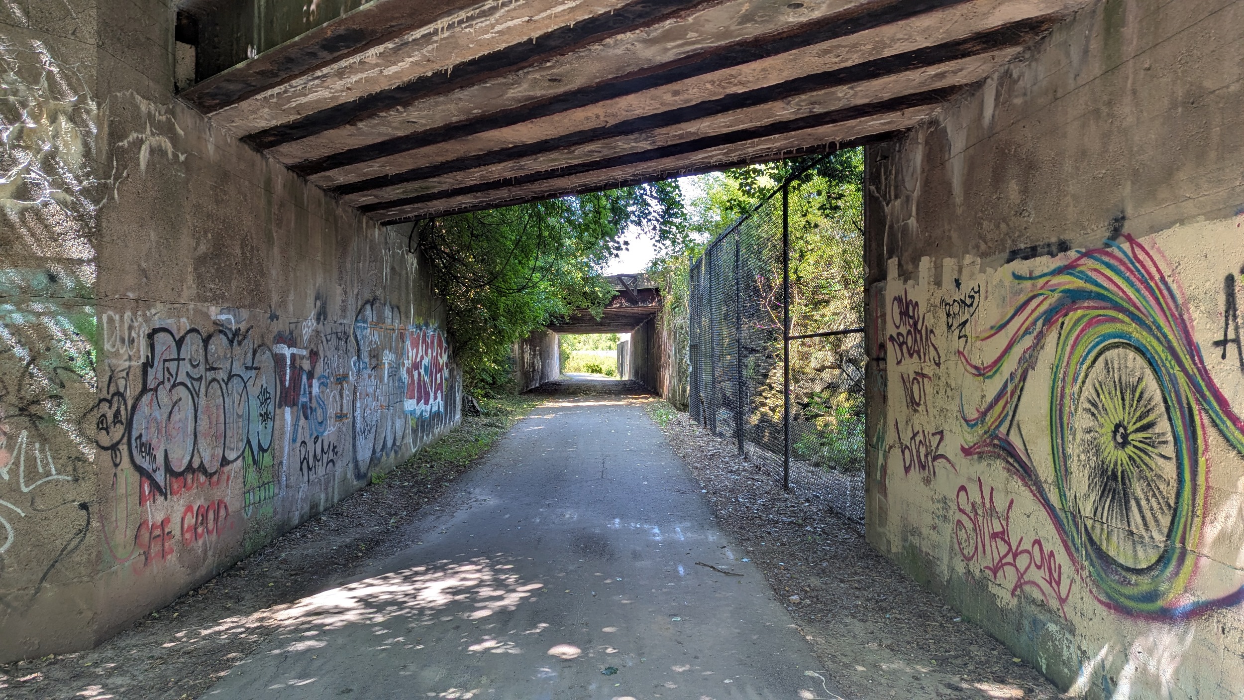
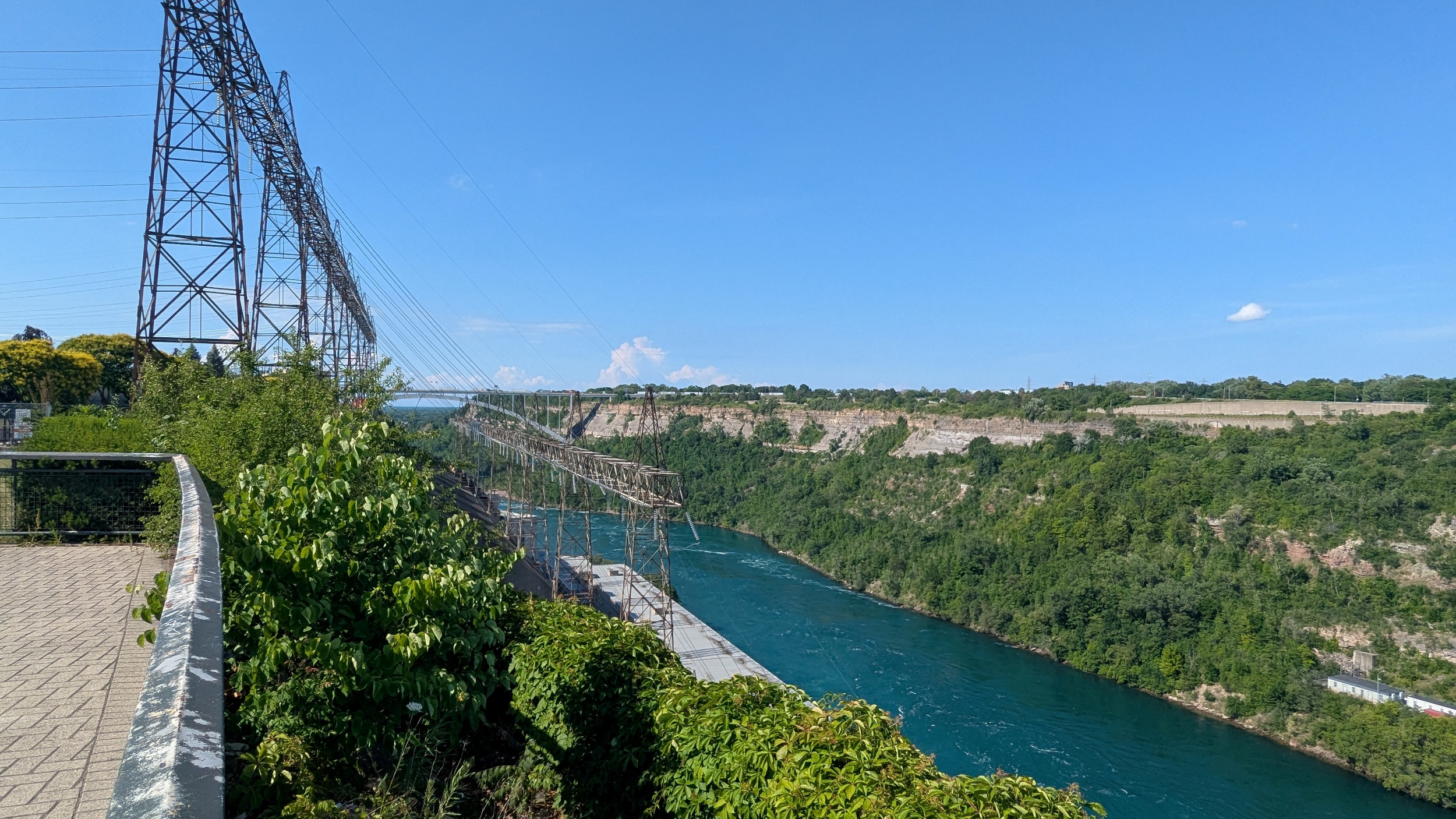
North of Thorold Stone Road, it’s open and super hot again. There’s a reprieve near the top of this section as the trail ducks under the Canadian National Grimsby Sub, also used as GO Transit’s Niagara Branch. At Whirlpool Road, my pursuit of the canal ends, as OPG’s generation complex begins.

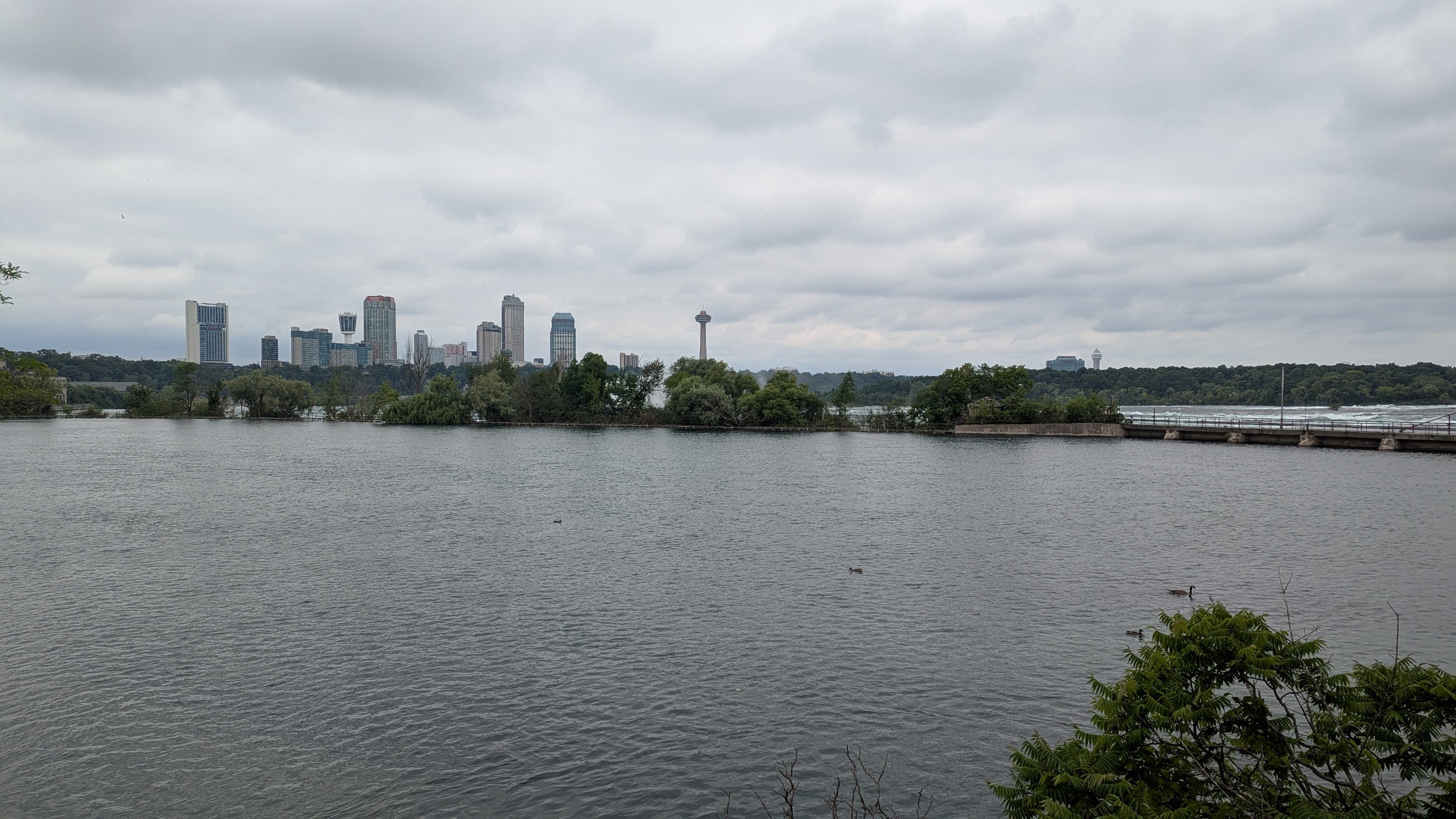
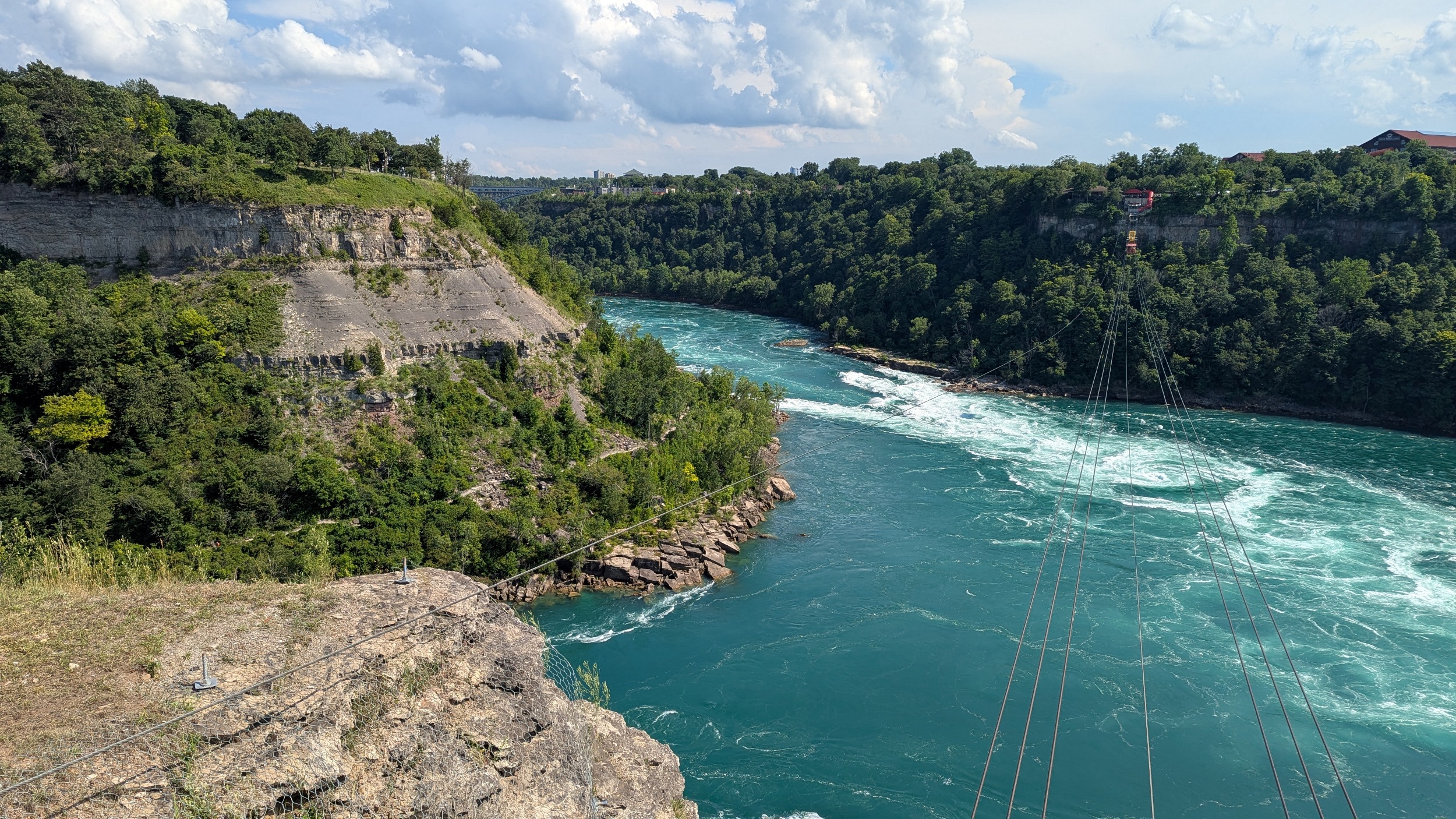
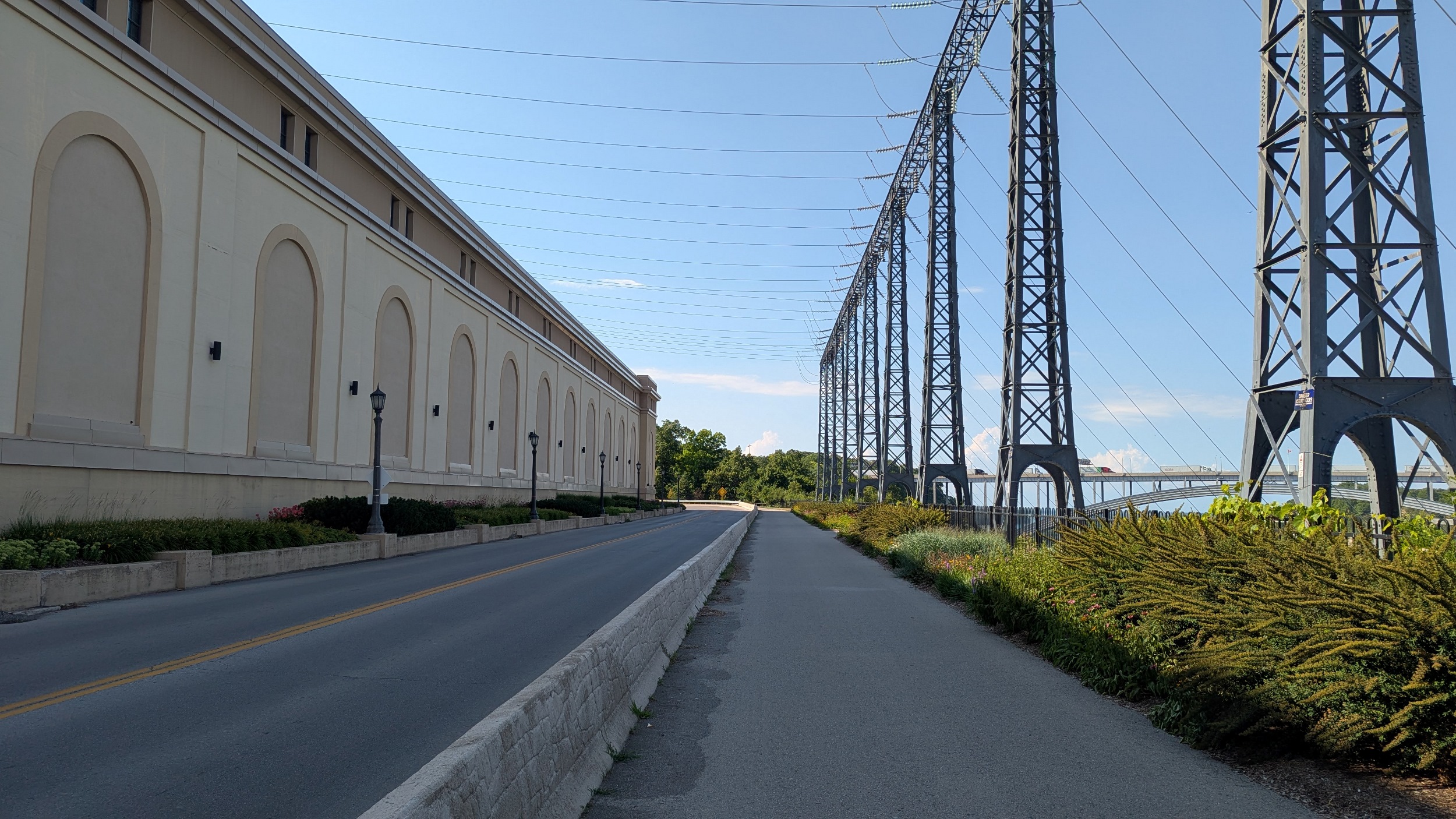
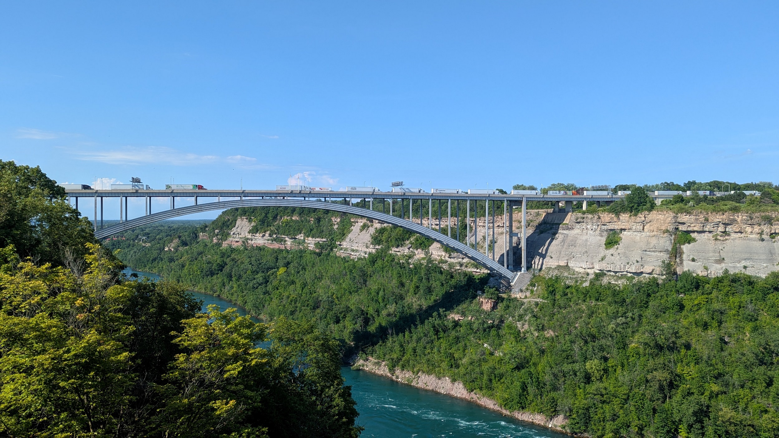
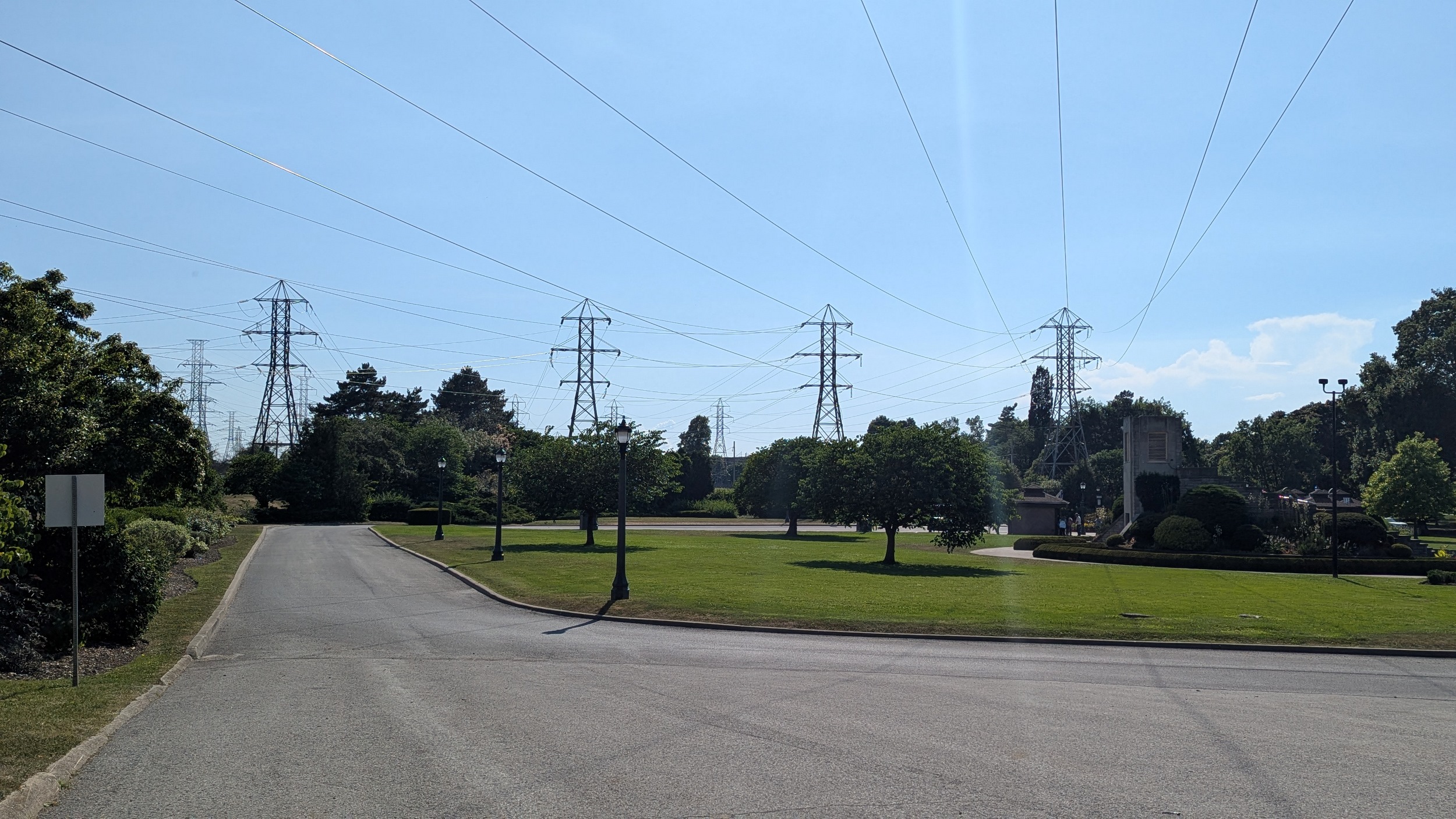
… I’m still going for some reason. Haven’t dwelled too much as, again, I’m so hot, but also because this will be subject to a future walk. I’ve hiked north from Whirlpool Road along the edge of the Niagara River. The power interconnects to the US tell me I’m close to my finish point.
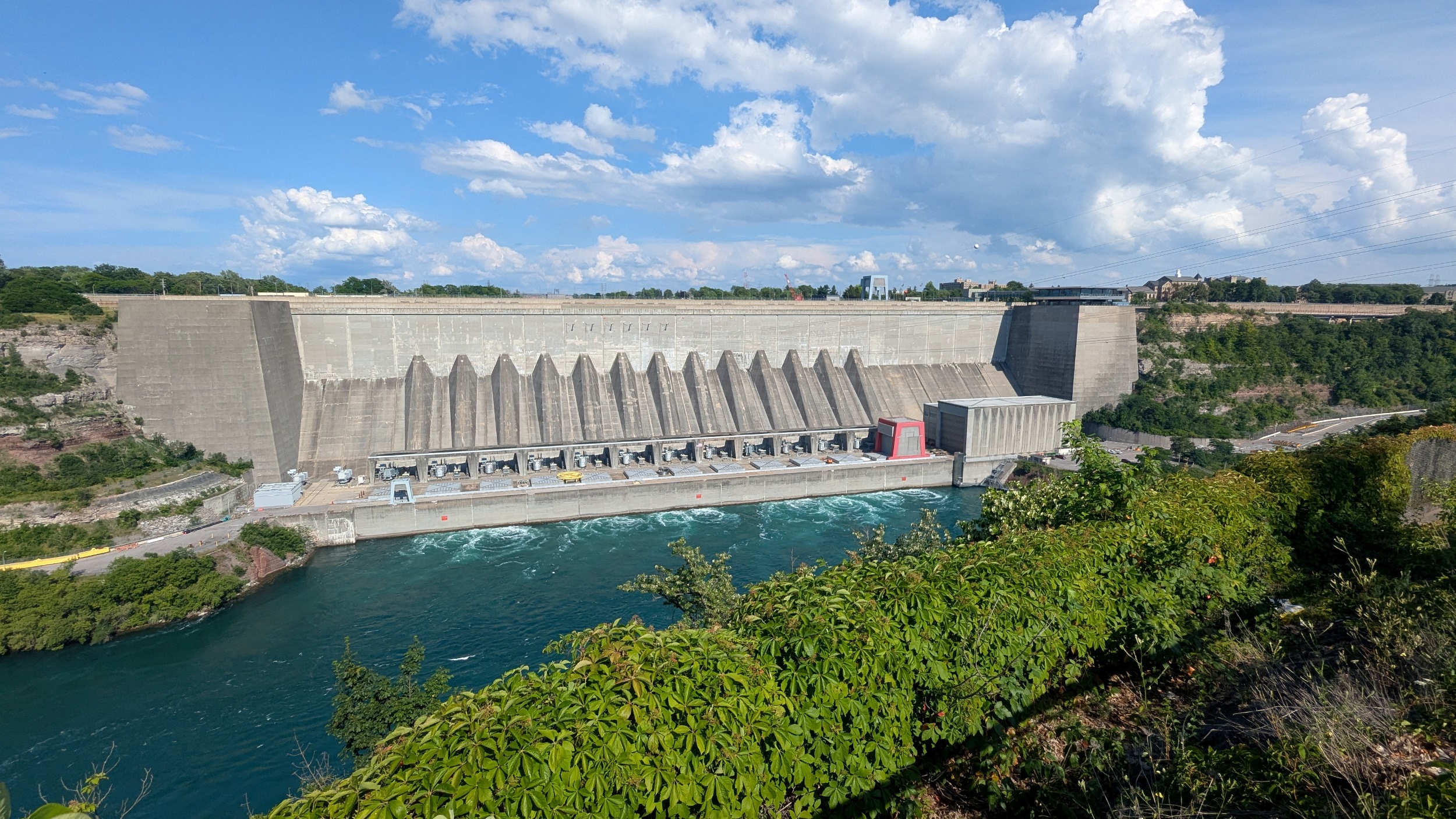
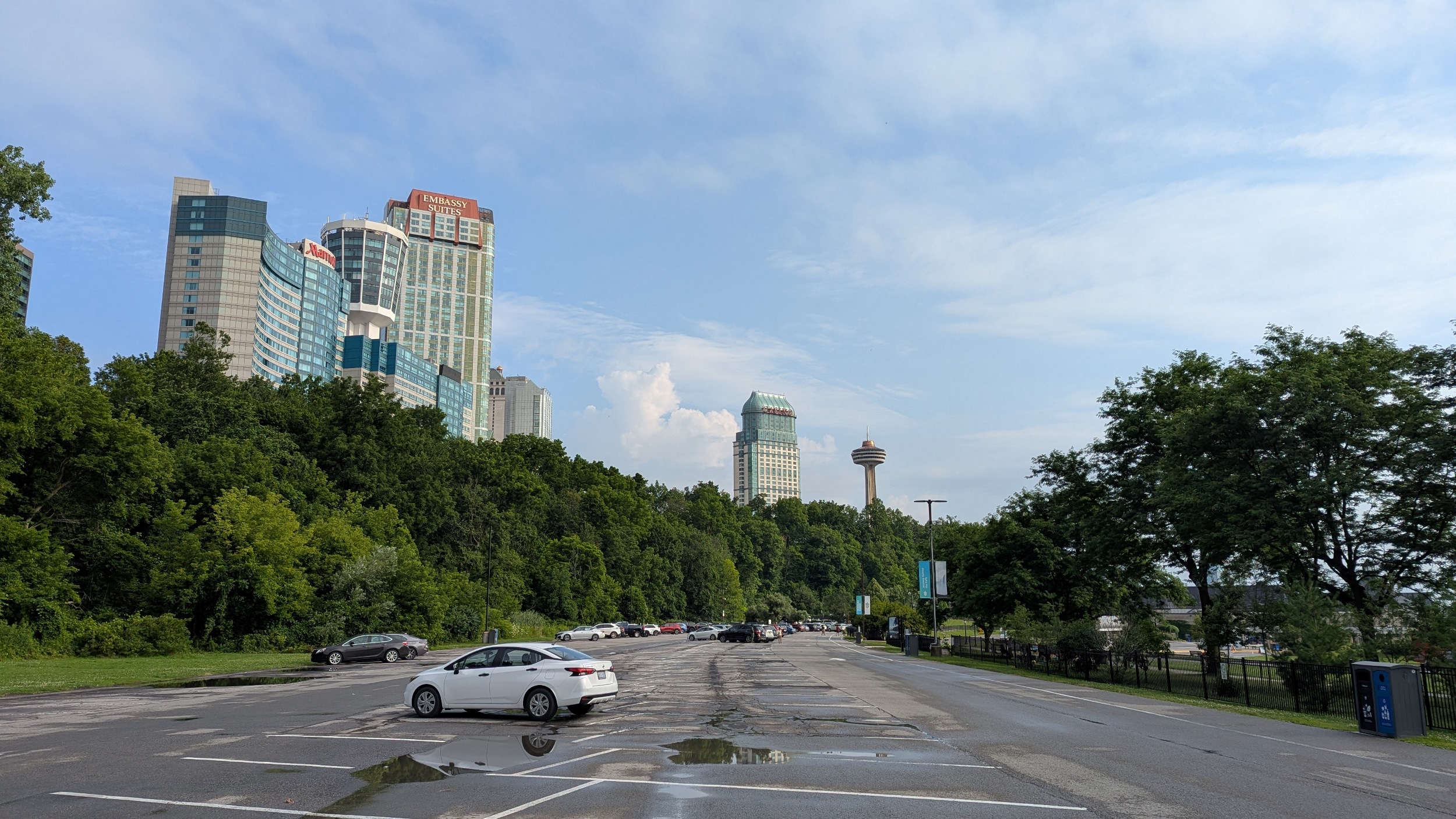
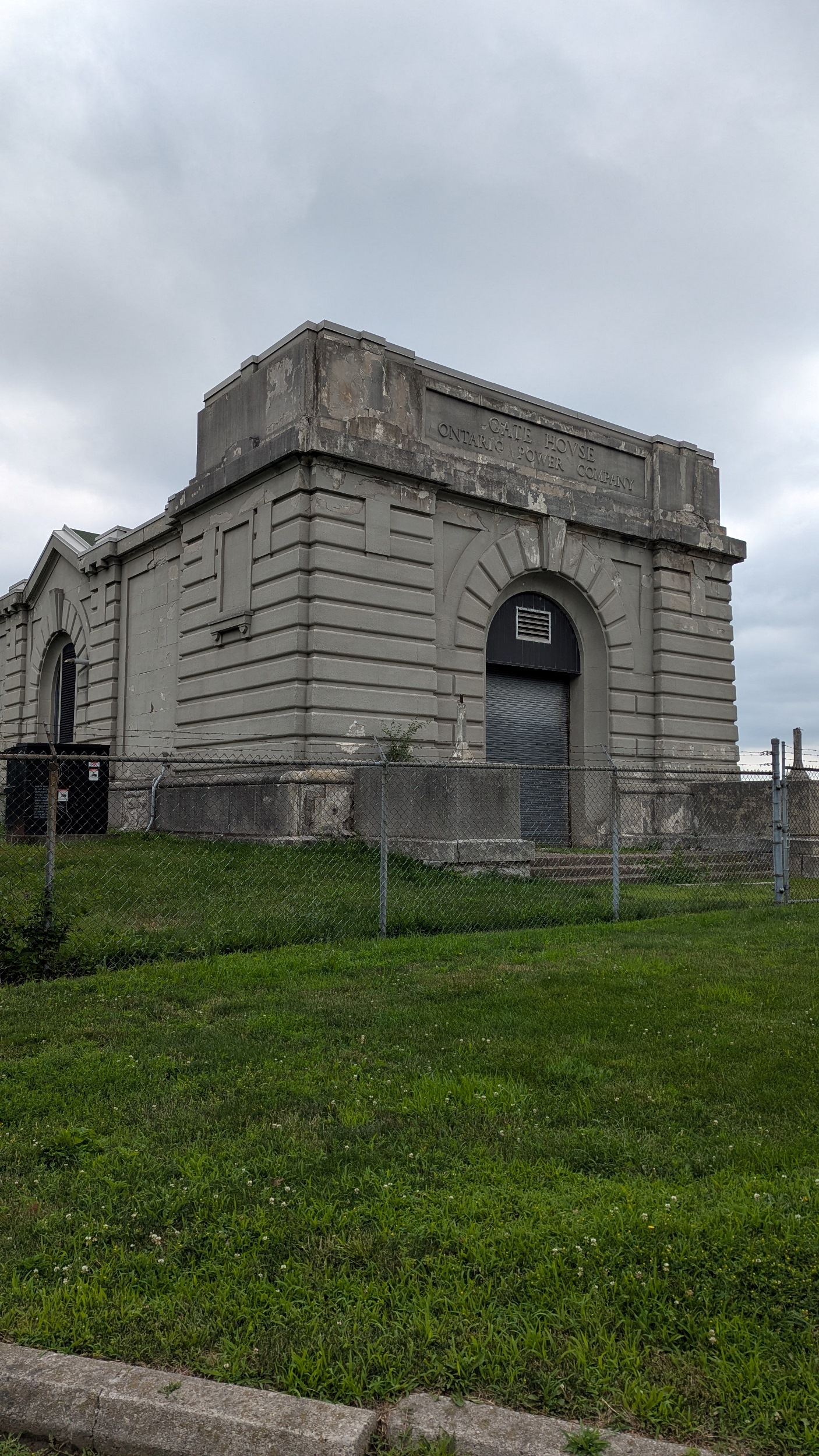
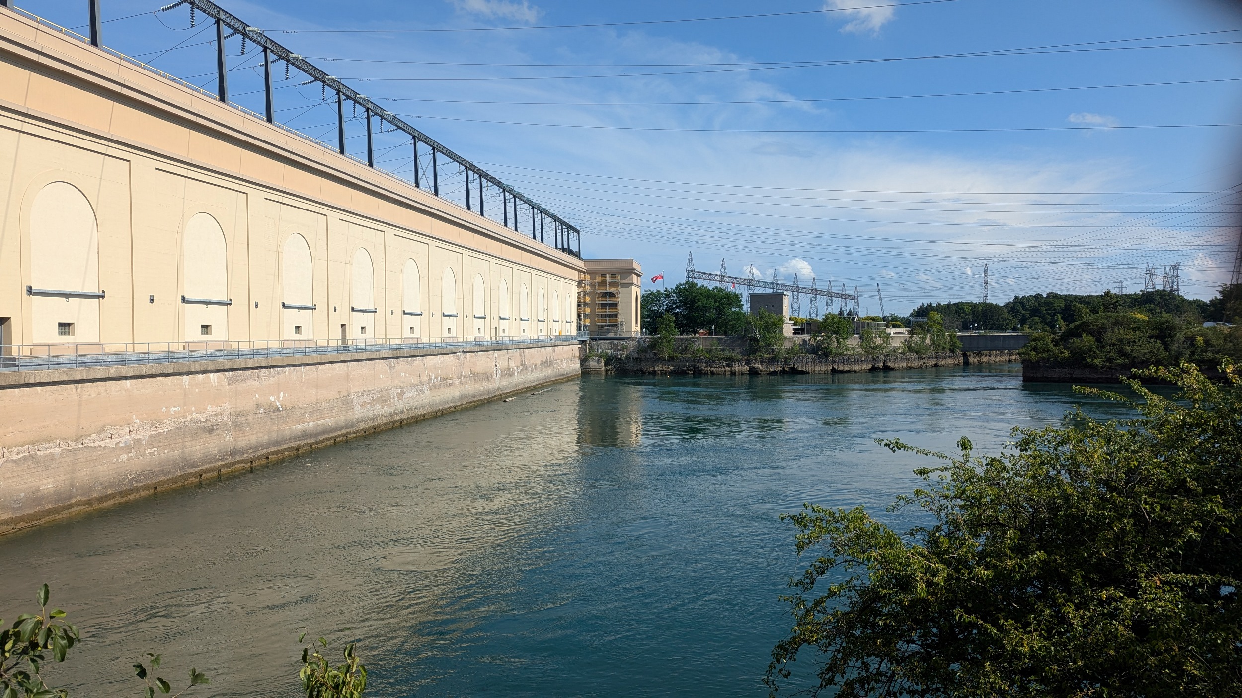
I made it to my end goal. The power canal eventually leads here: the Sir Adam Beck Generation Stations. Monumental feat of engineering on a very large scale, supplying a good chunk of Ontario’s electricity from a clean source. This marks the end of my walk today. Thanks for joining.

Date: July 13, 2025
Length: 29.2 km
Type: Riverine