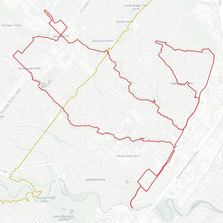
Good morning from central Oakville. Today I will be documenting a couple watercourses that have been cut from their natural course by the Morrison-Wedgewood Diversion Channel. Let’s go.
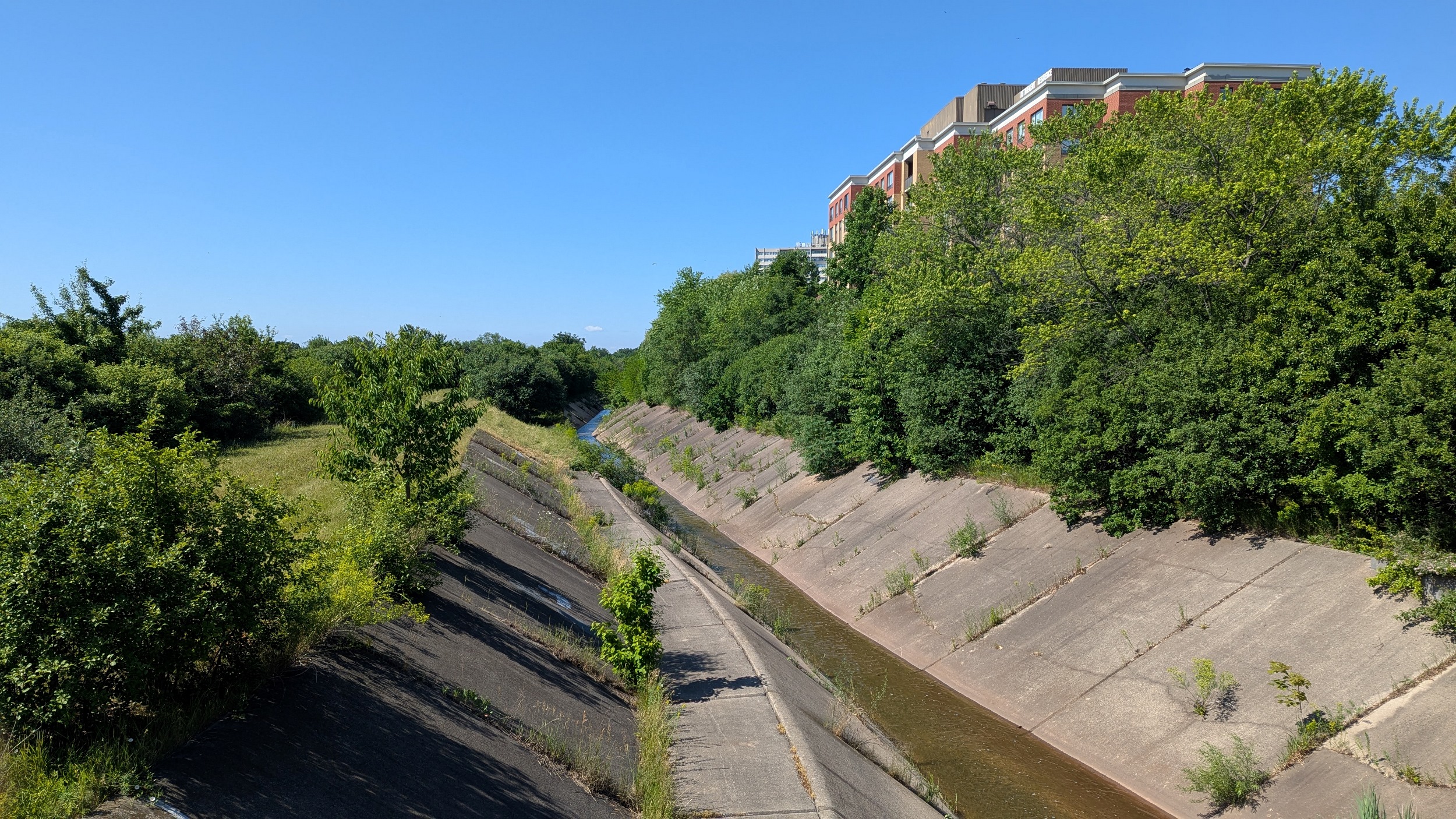
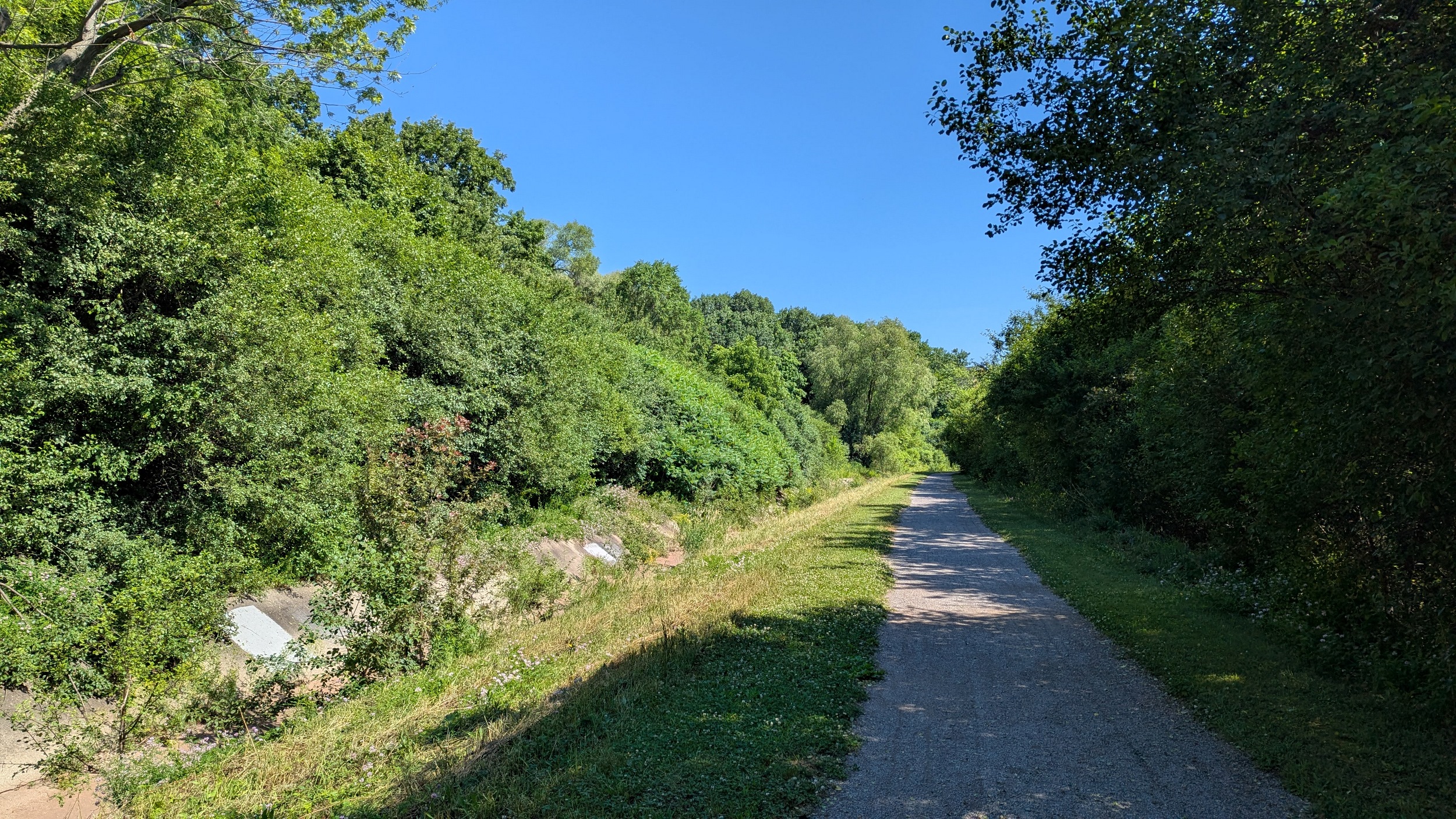
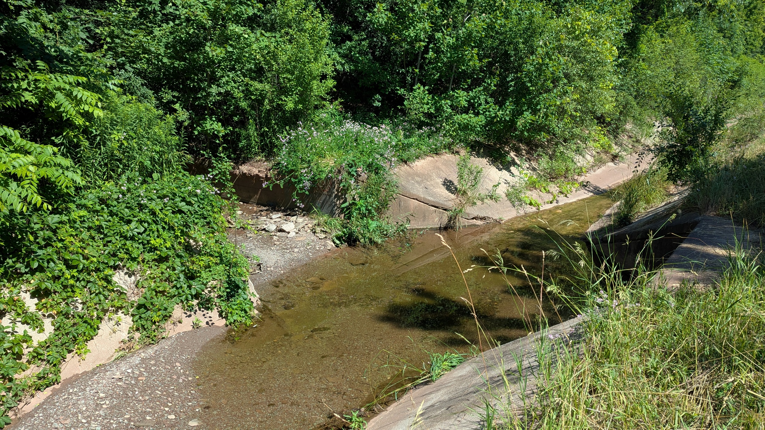
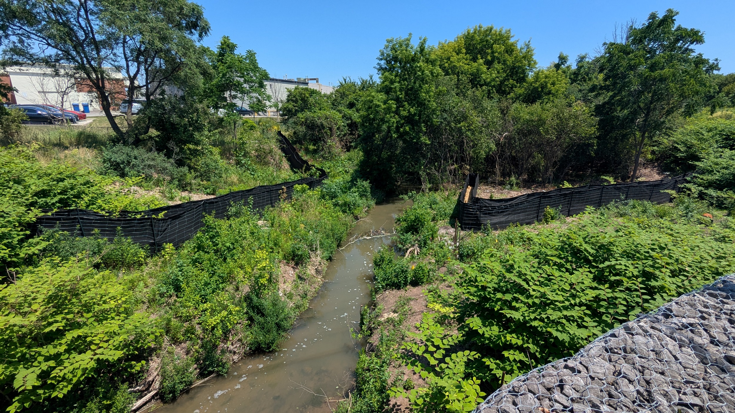
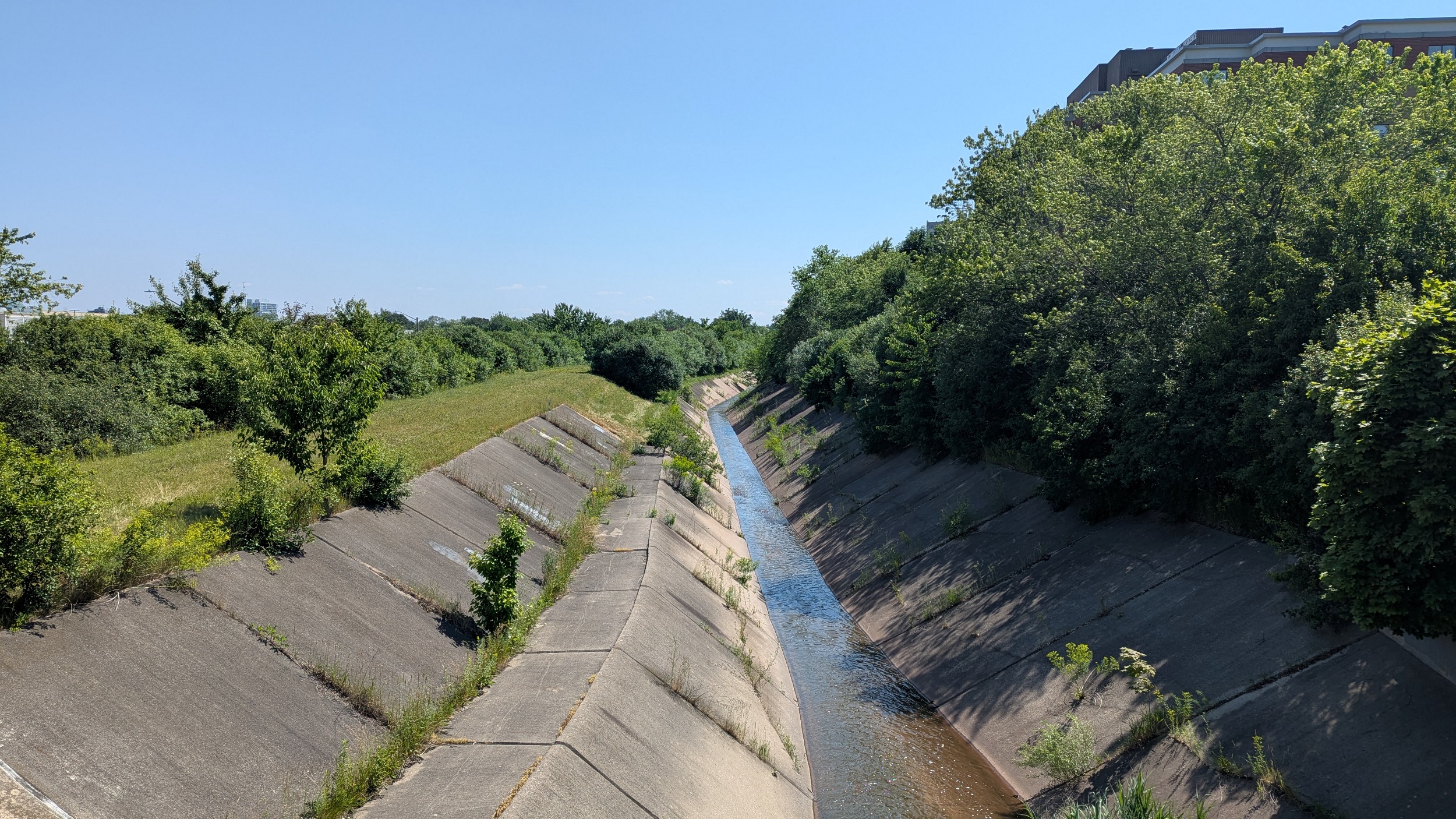
While the creeks it diverts used to outlet directly to Lake Ontario, this diversion channel (and all that flows into it) is now a tributary of Sixteen Mile Creek circa 1967. It starts along the muddy red eastern bank north of Highway 403 in a natural form before being confined in a concrete trench.

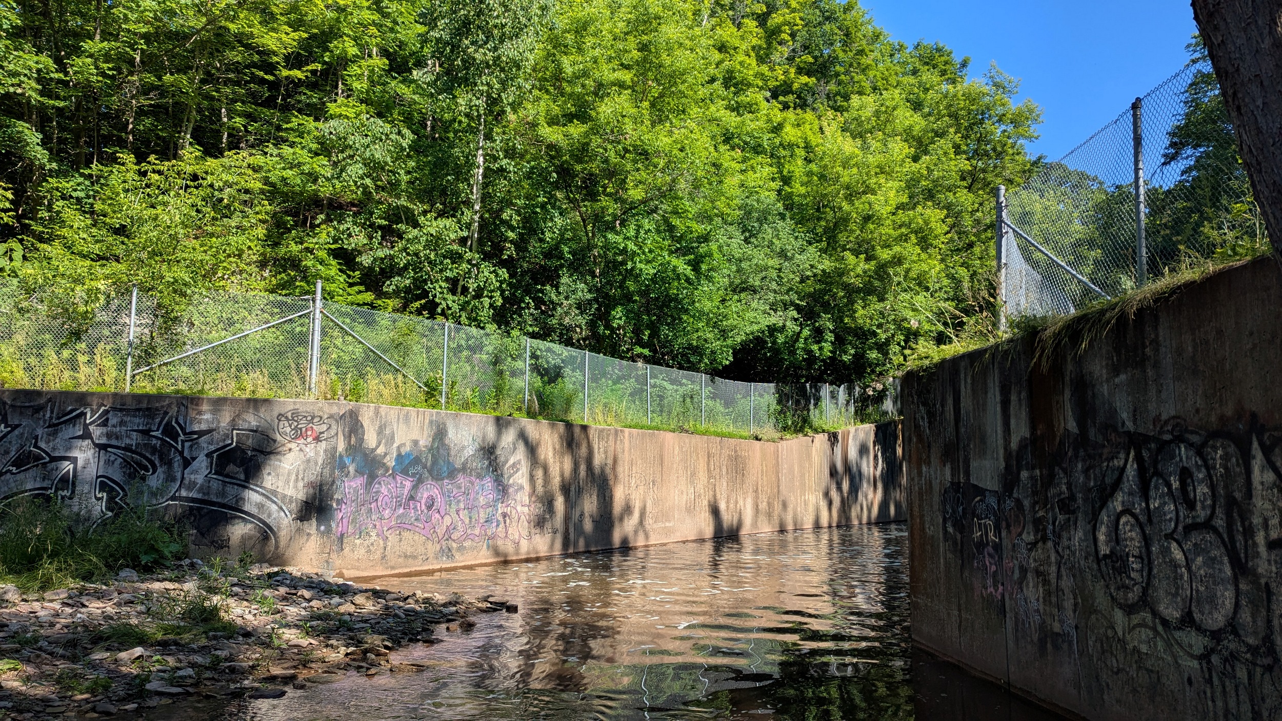
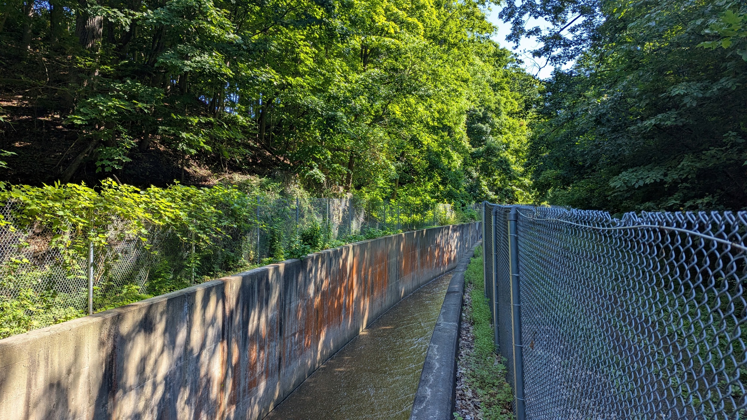
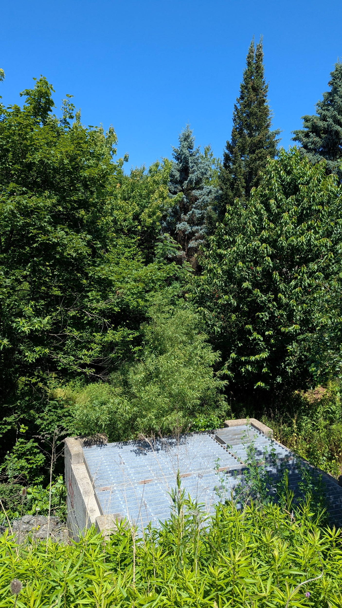
The maintenance road next to the trench starts a steep climb. Then you see support bars lining the top, much like the Strachan overpass at the rail lines going west from Union. A storm outlet creates an artificial waterfall.

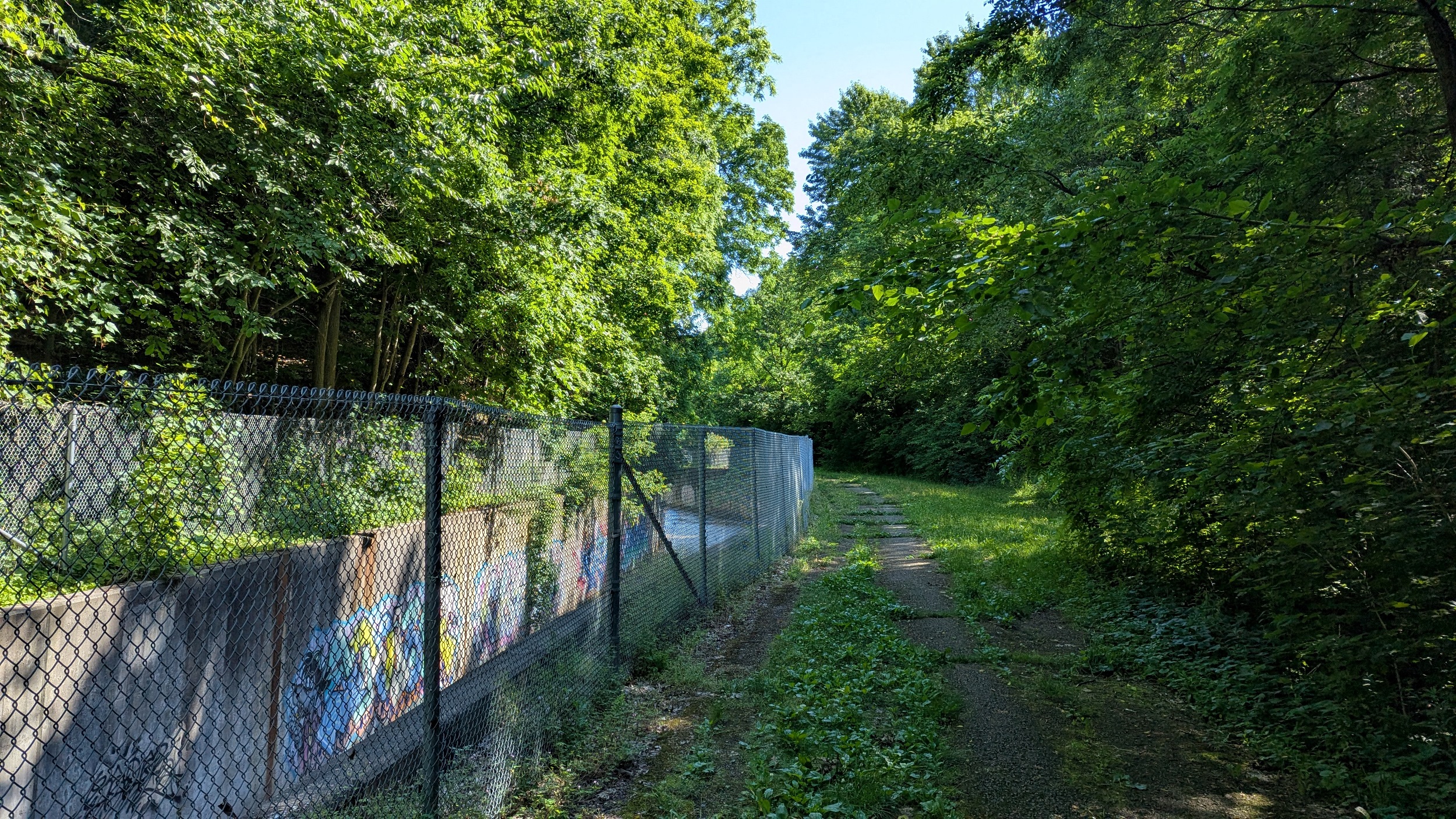


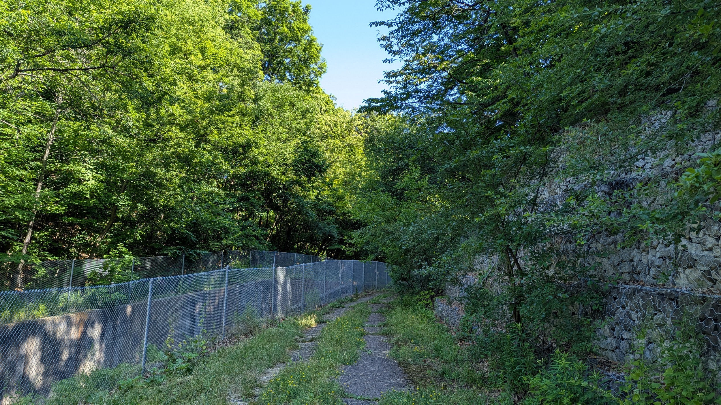
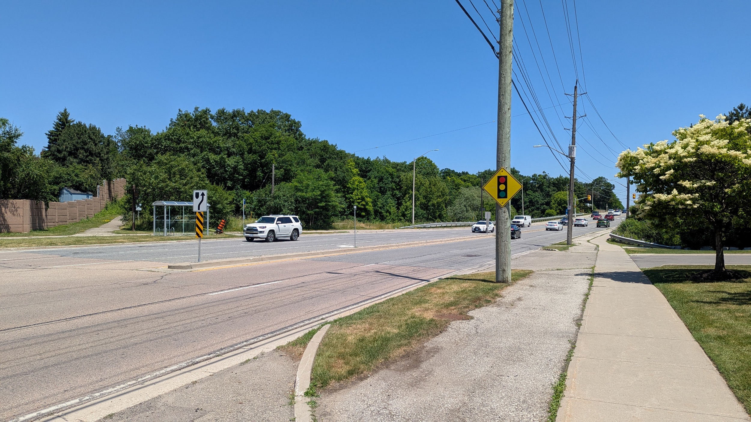
From Sixth Line to east of Kent, there’s no public access. Then you get back to it again from Leighland Ave, though the fences are set way back. It’s a shame, this could make a great trail just with some minor adjustments.


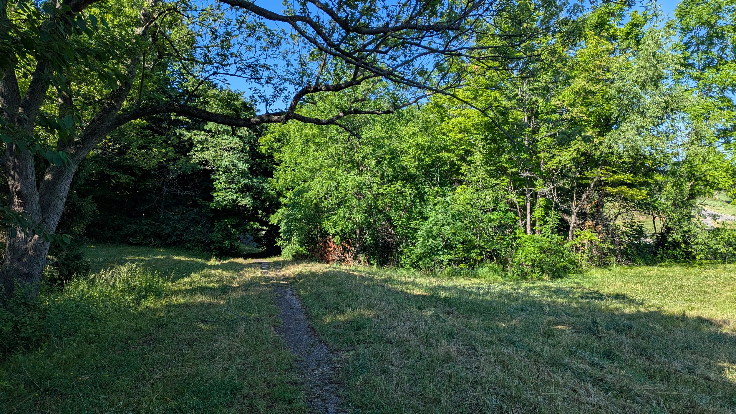
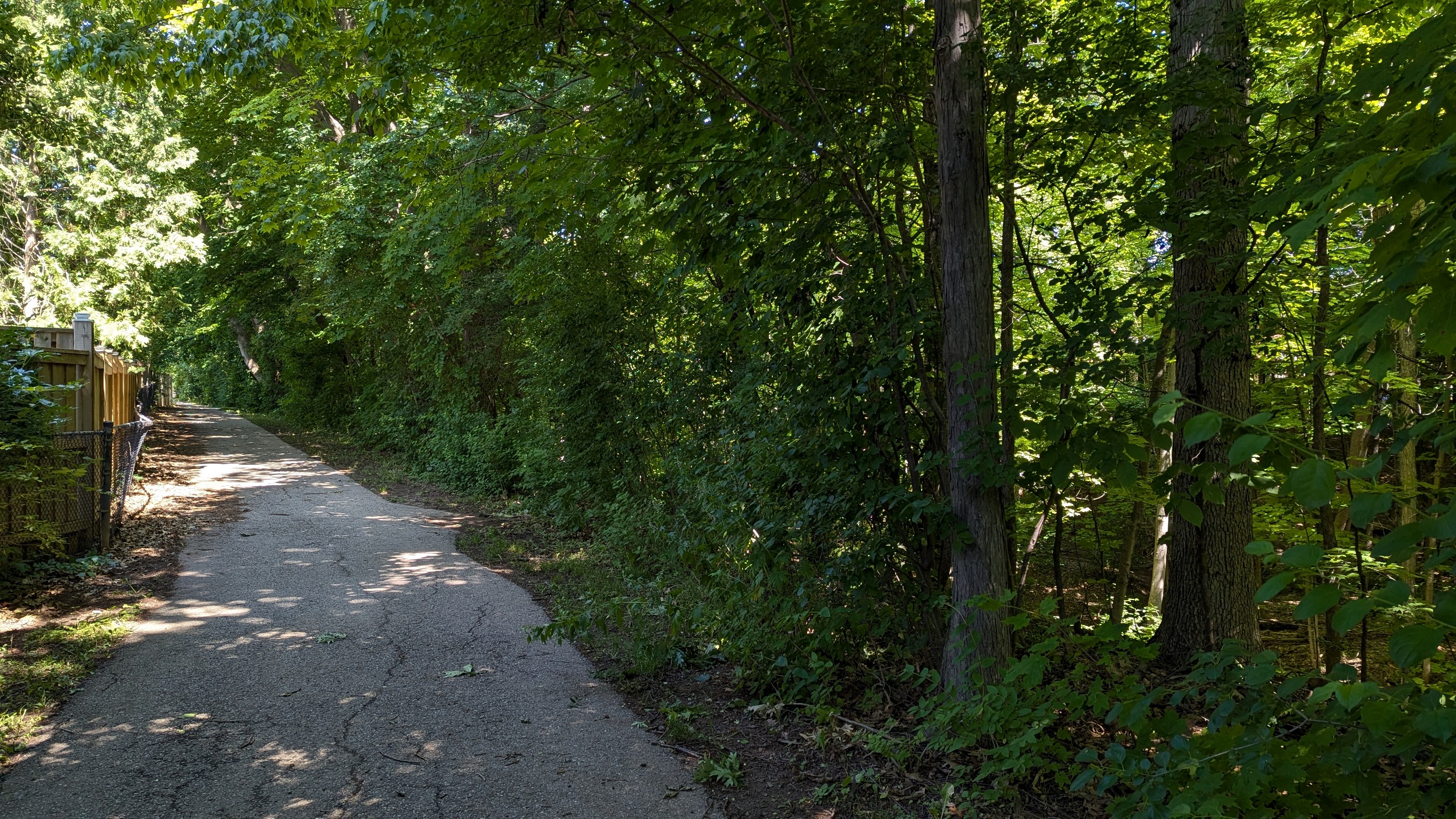
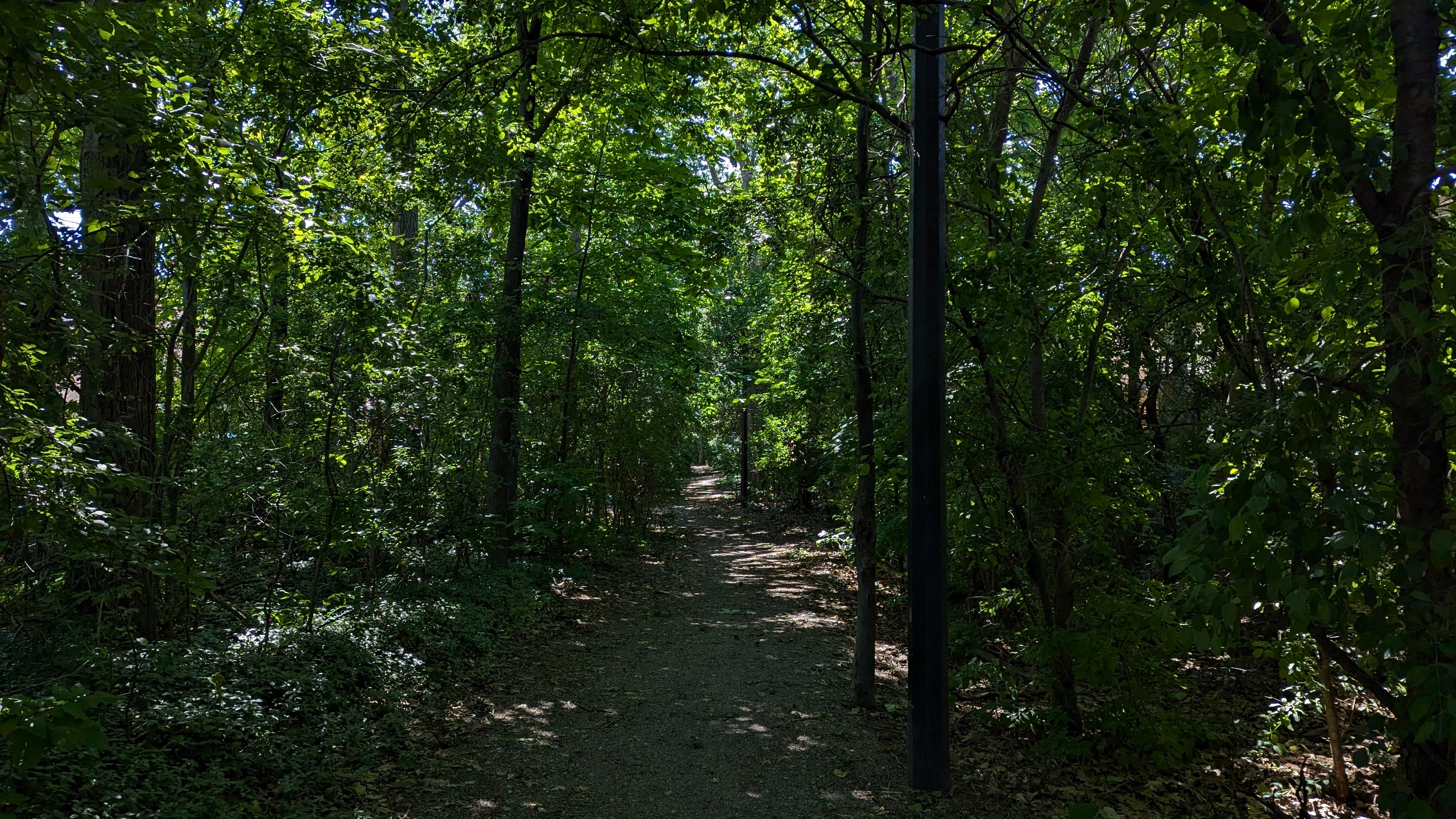
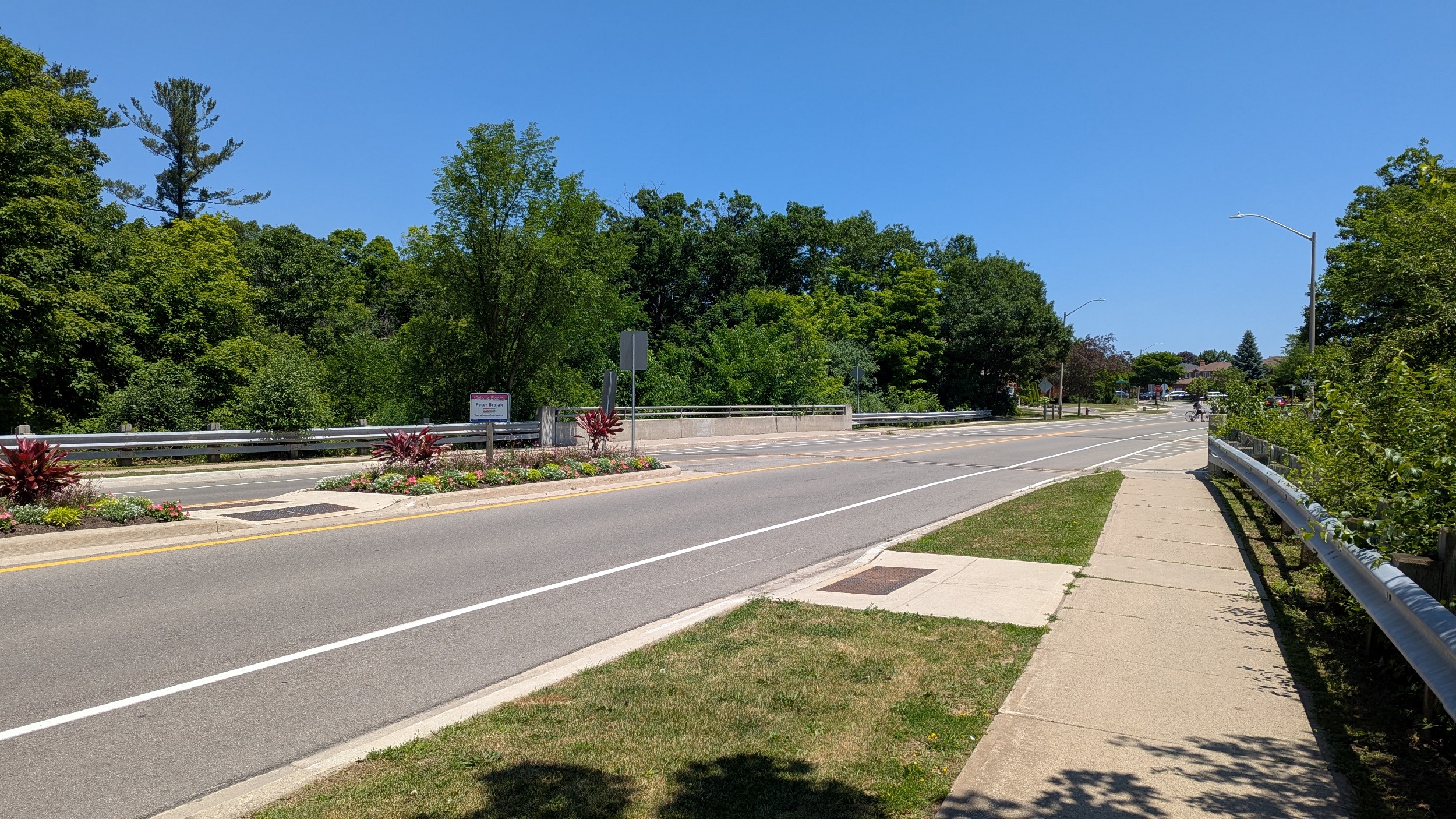
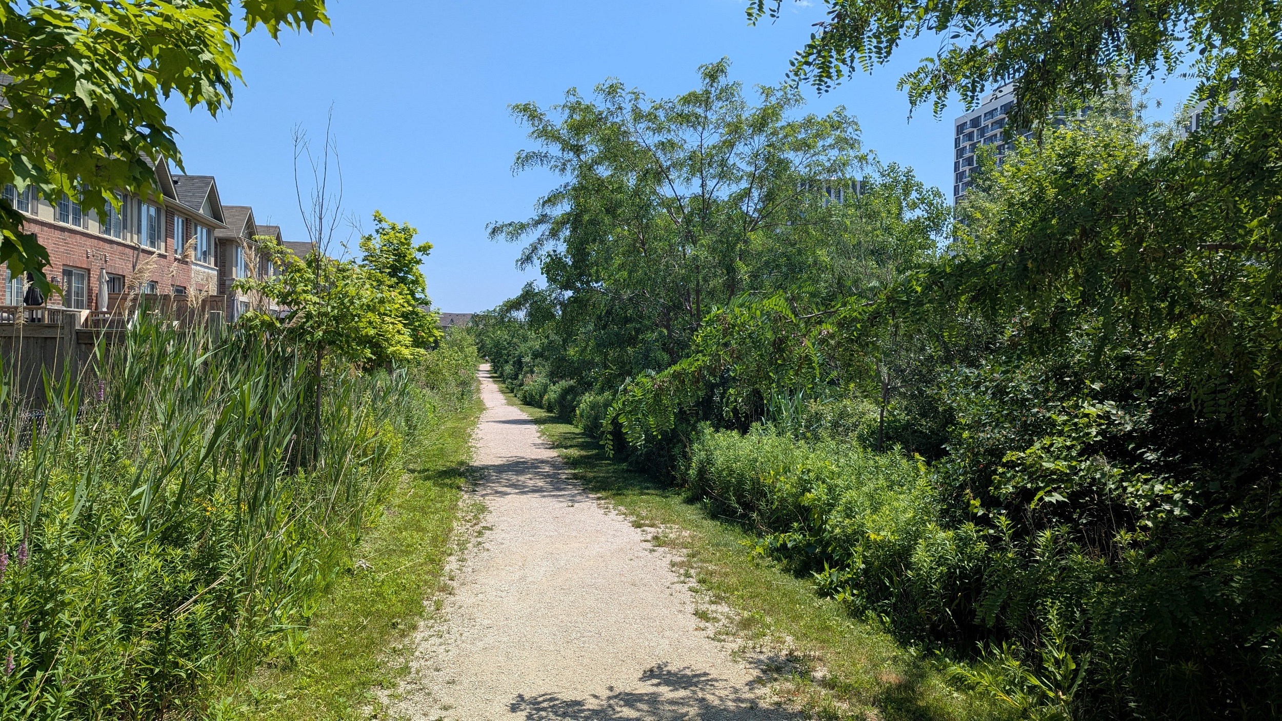
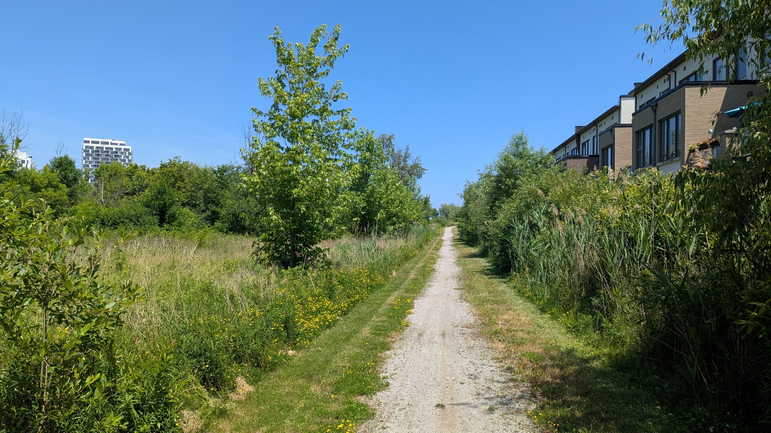
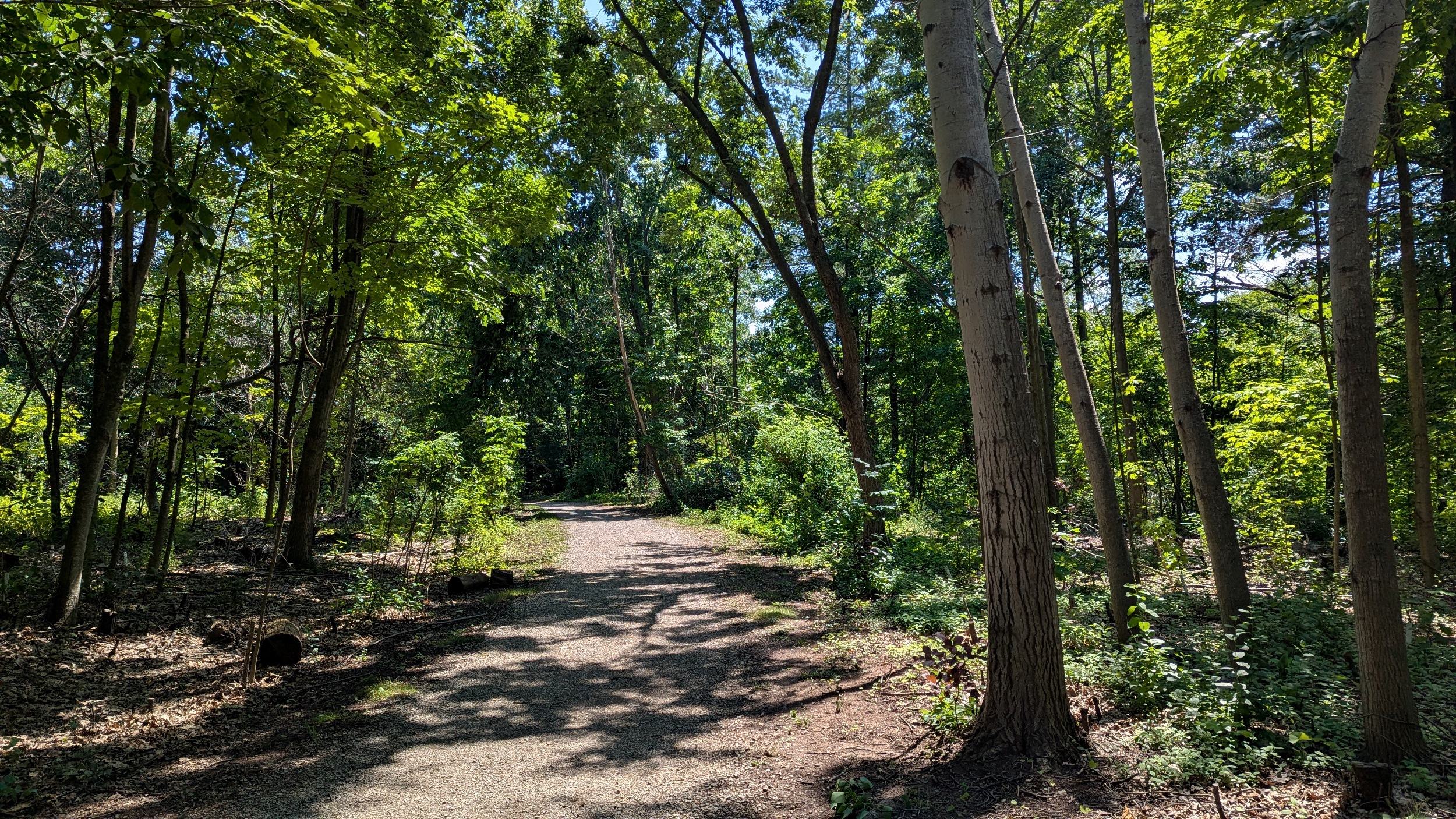
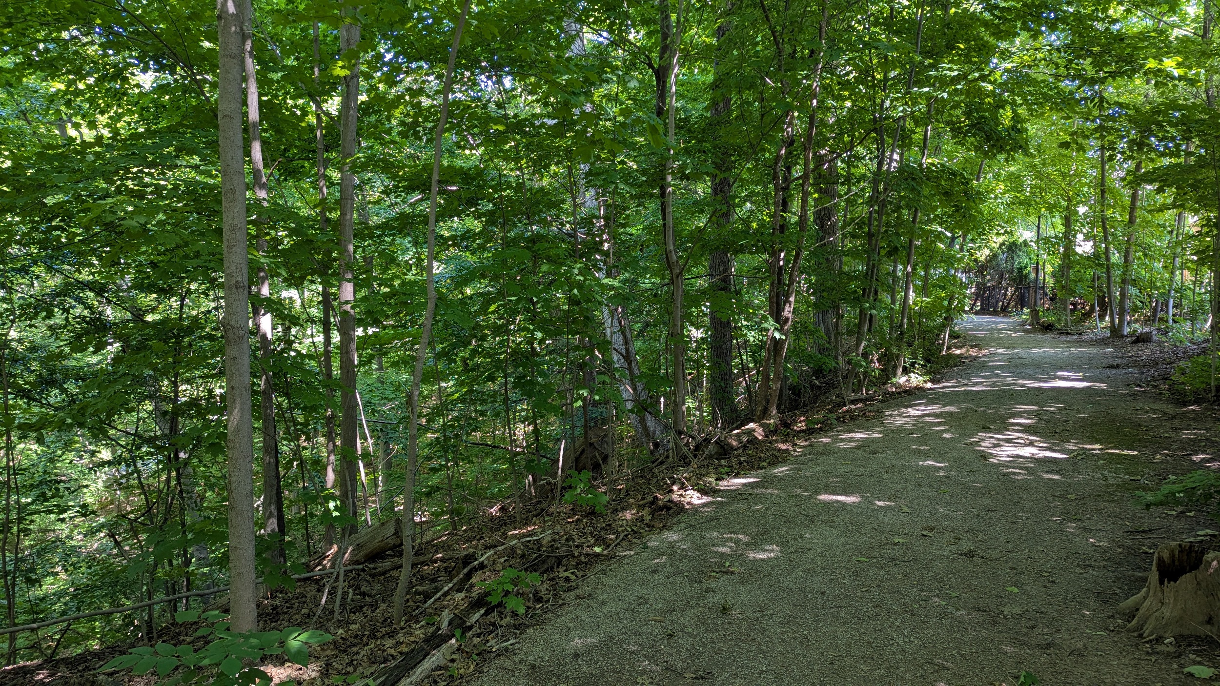
Like this. East of Trafalgar, a formal trail starts. Stonedust surface with vegetation providing good shade. It isn’t long before we get to the confluence with East Morrison Creek either.


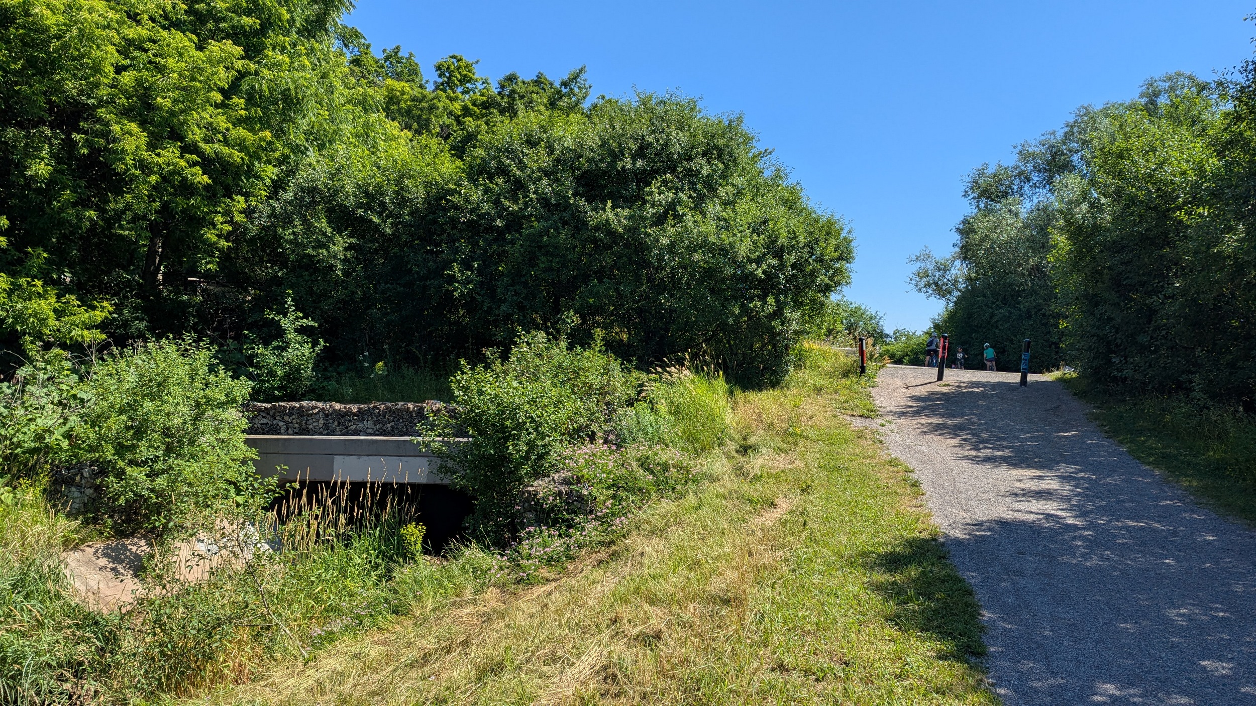

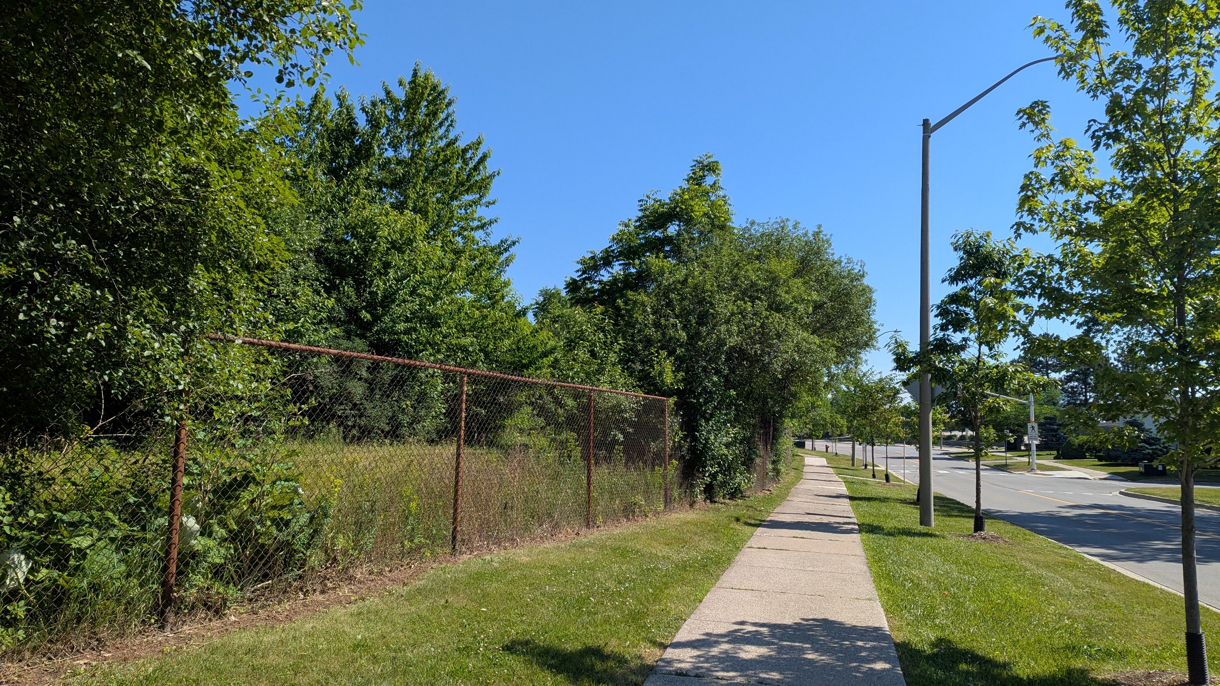
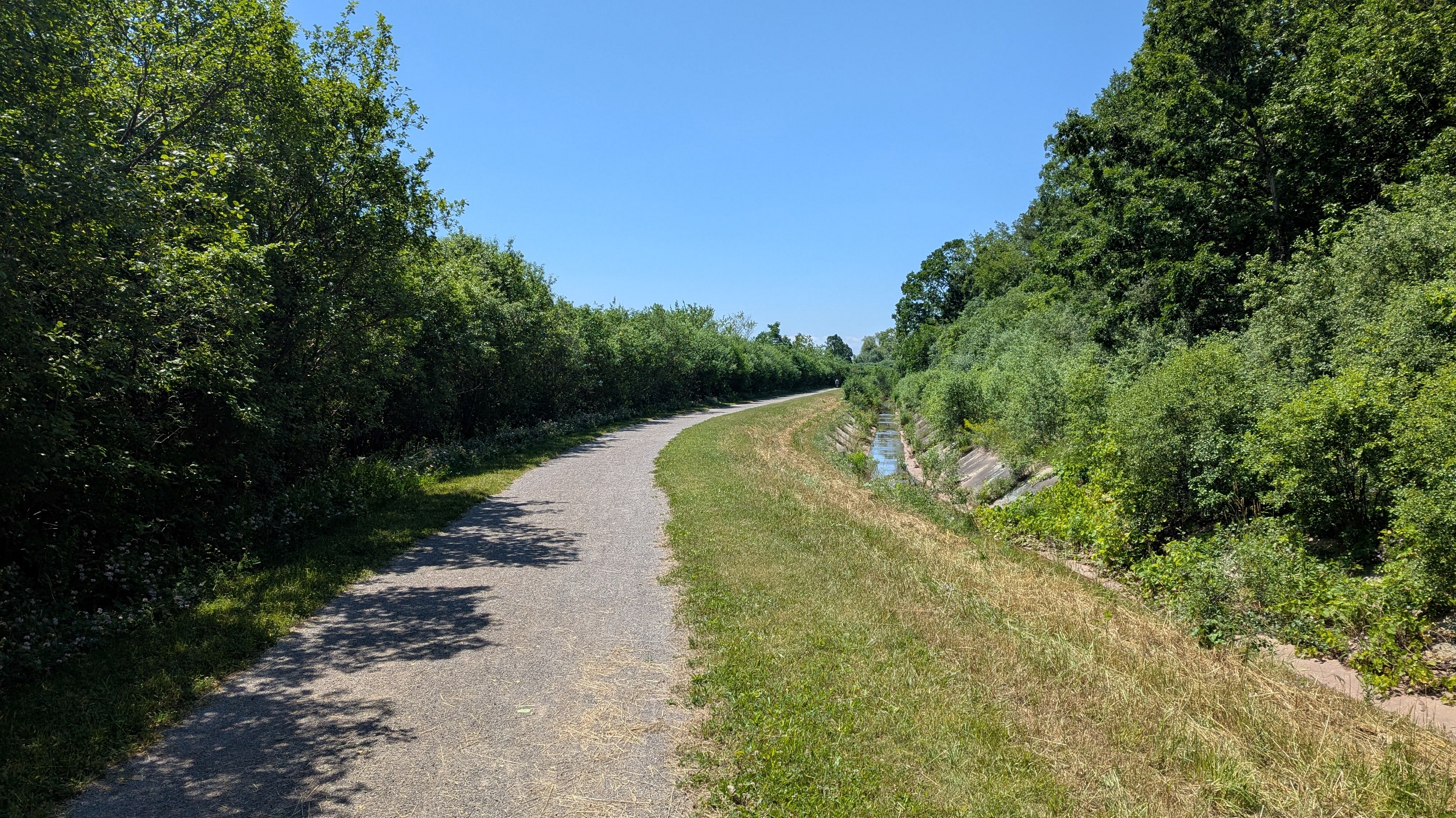
Past Eighth Line, the trail and concrete channel continue. It’s been clear that the channel has been decreasing in scale as we go upstream. We pass the confluence with West Wedgewood Creek, the second last major tributary, before reaching the East Branch and the end of the diversion.
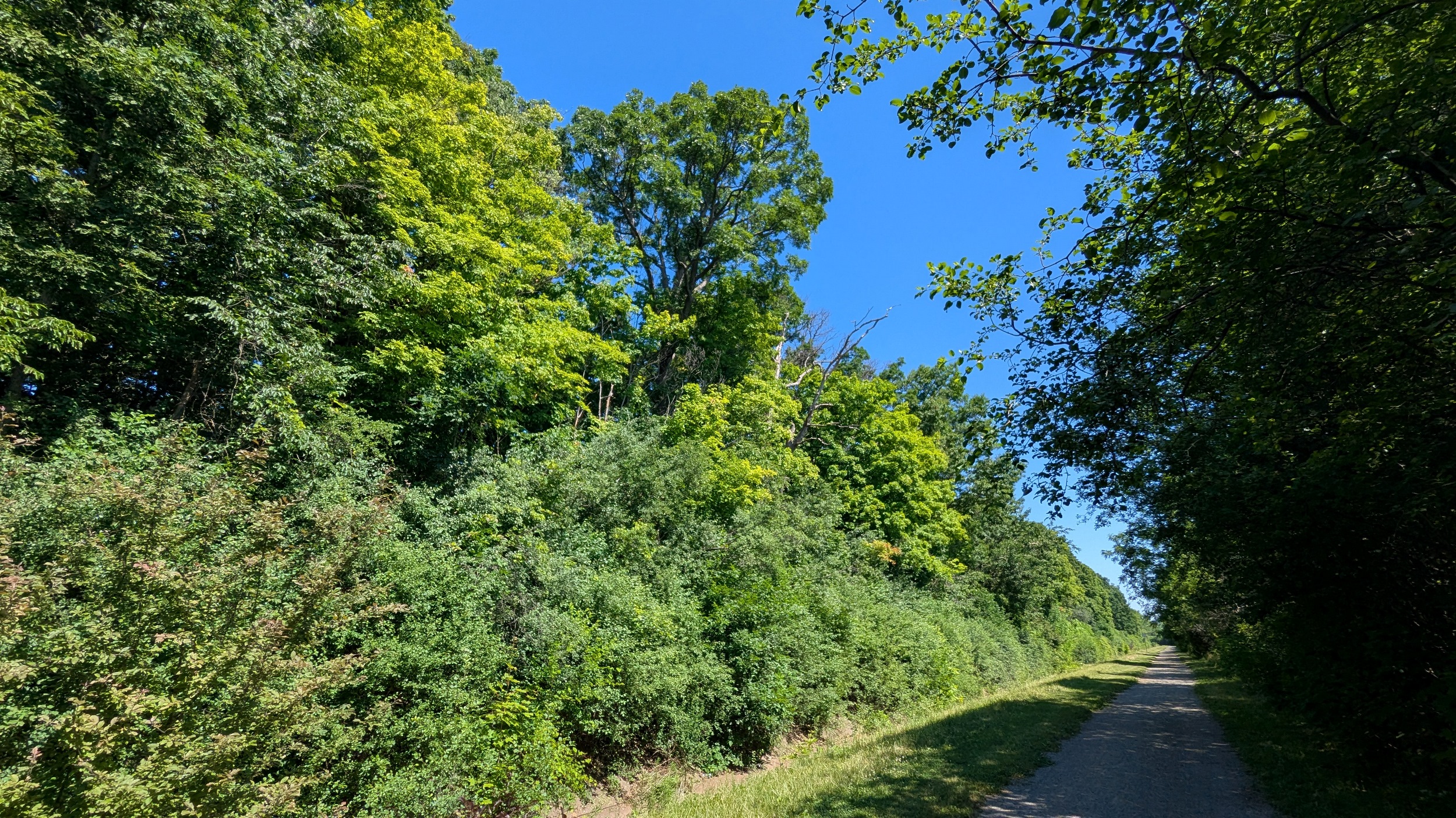

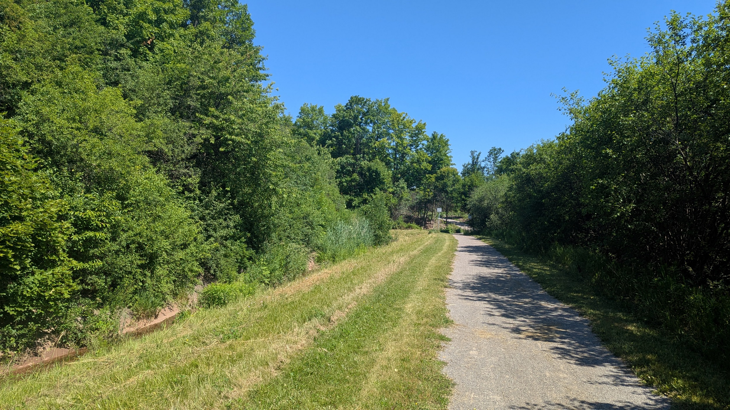

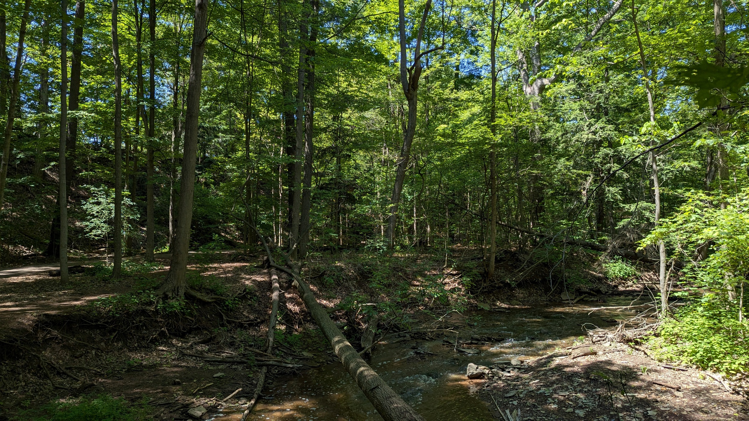
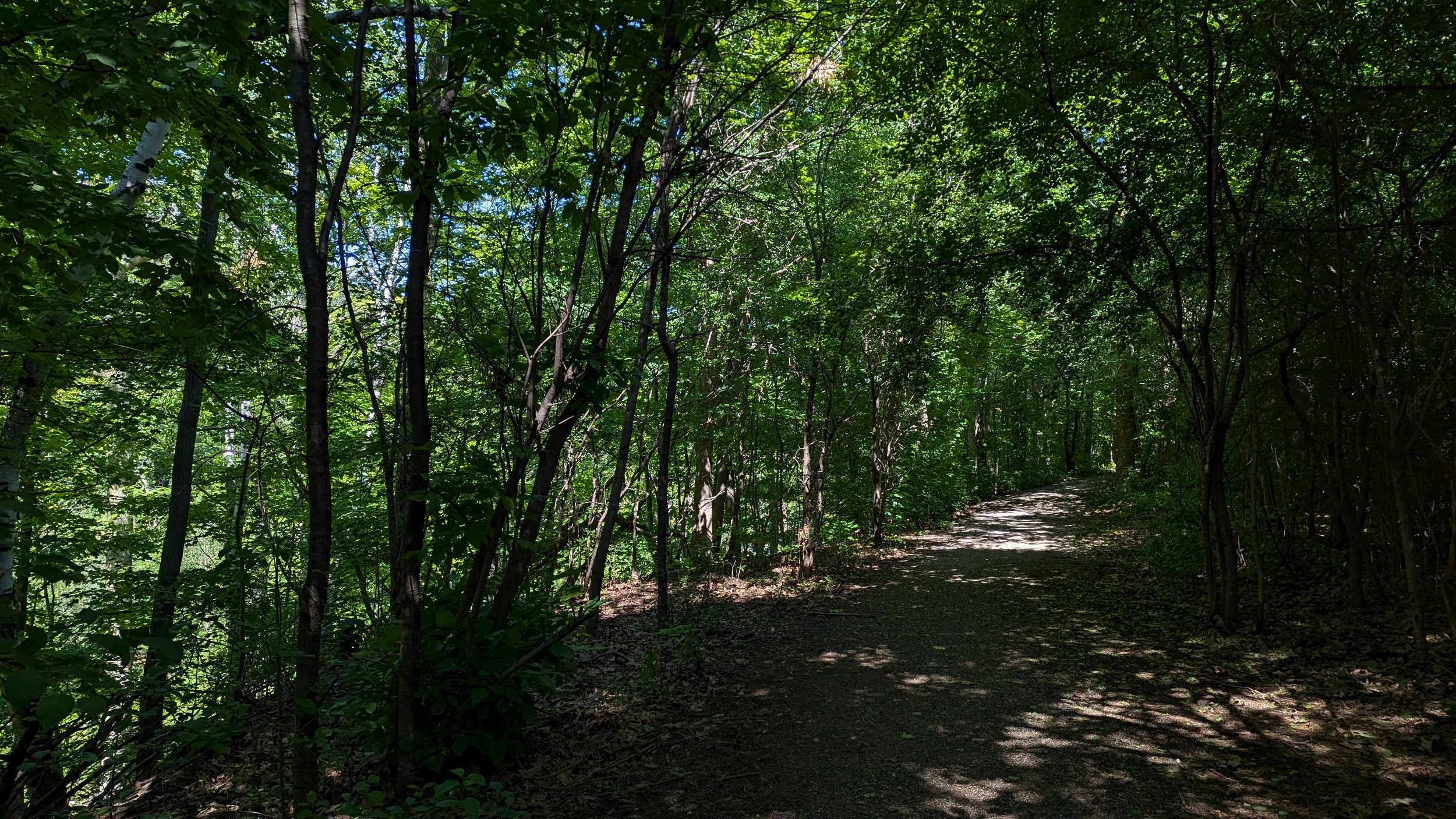
Up through Iroquois Shoreline Woods Park, and along East Wedgewood Creek. The tableland is quite high, marking what is a deeply incised valley. Nonetheless, the trails are continuous, augmented well by neighbourhood connections, and properly shaded by mature forest cover.


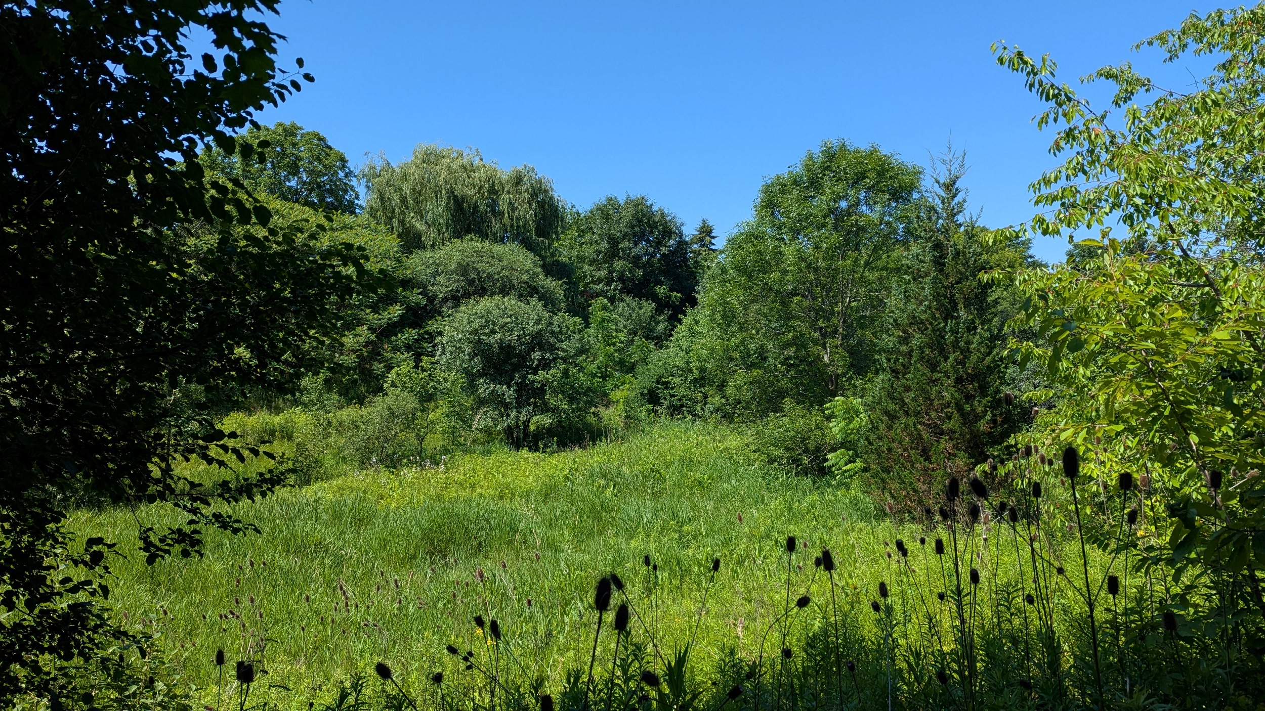
North of Upper Middle Road, the valley is more of a wetland / stormwater management area it seems. Circling round the top and then back down to hop over to the west branch.

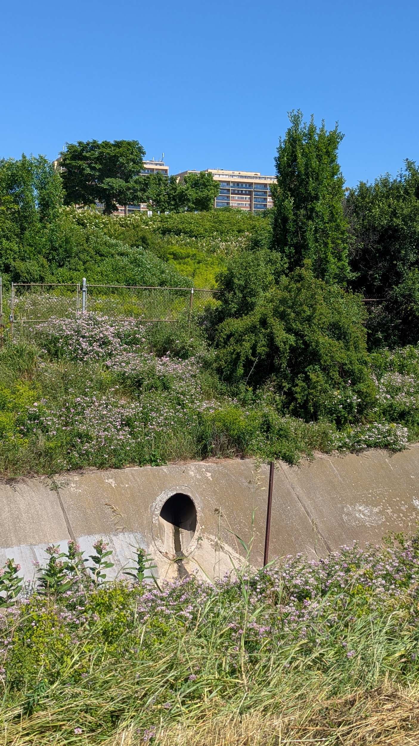
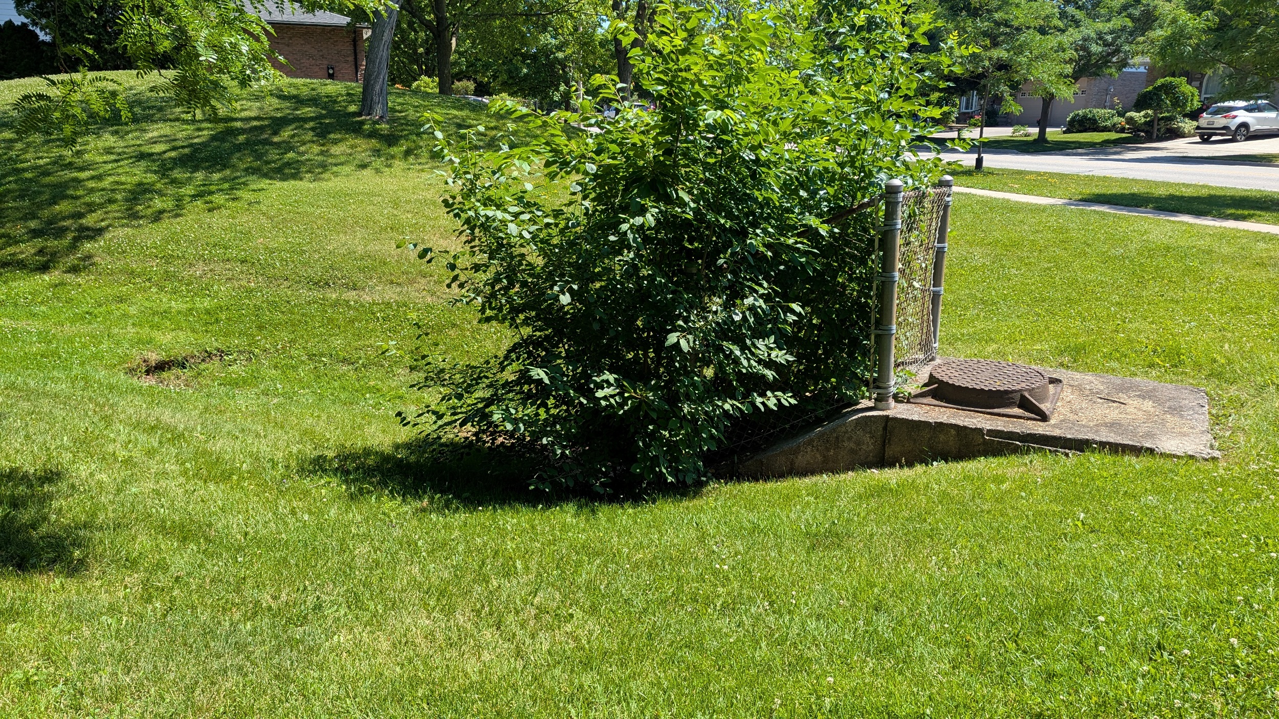
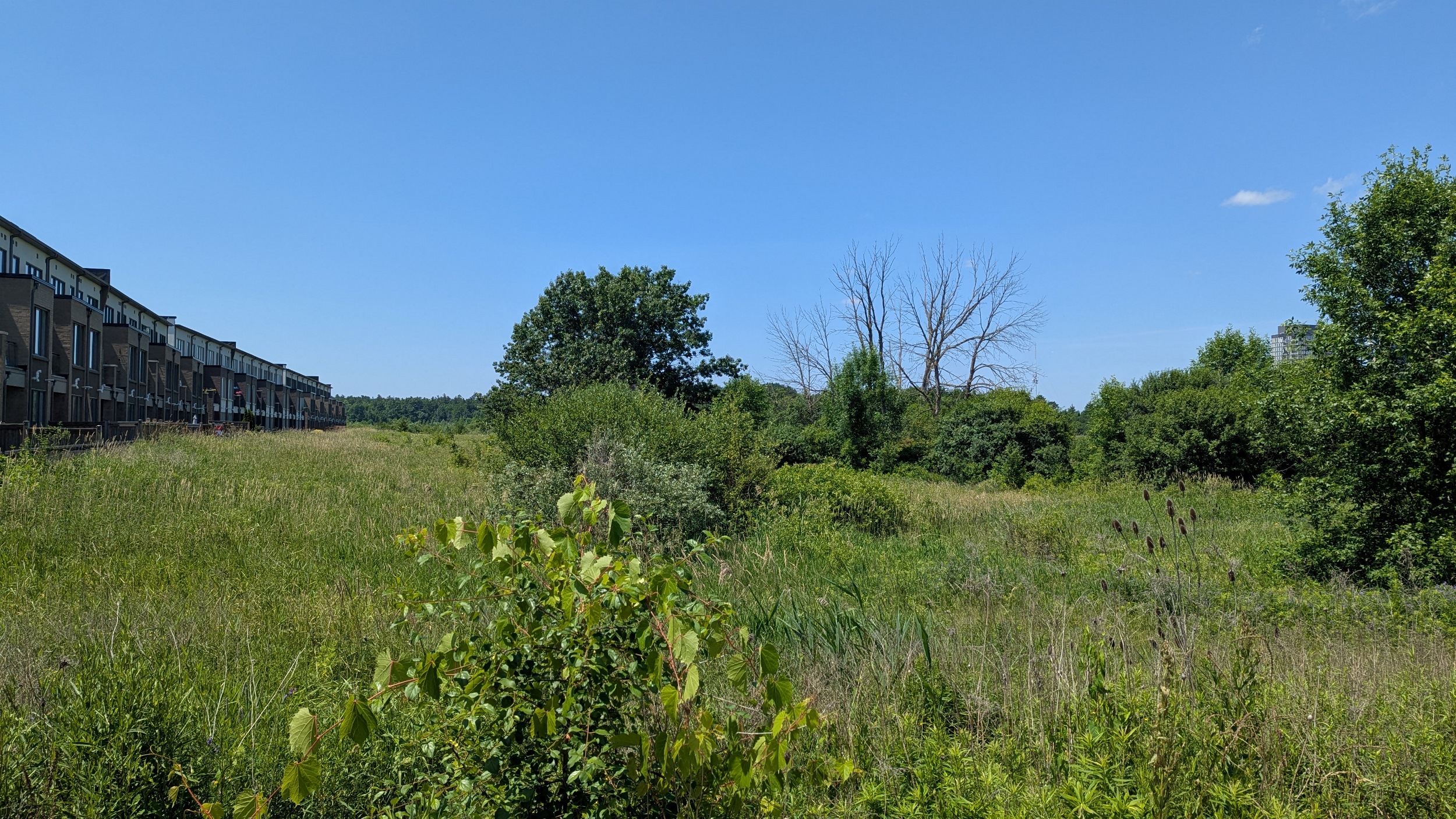
South of Upper Middle Road, there’s a nice trail and strip of woodland, but no sign of West Wedgewood Creek until a swale at Sheridan Hill Park. There’s still no defined channel or steady flow until the storm outlet south of Gainsborough Drive.

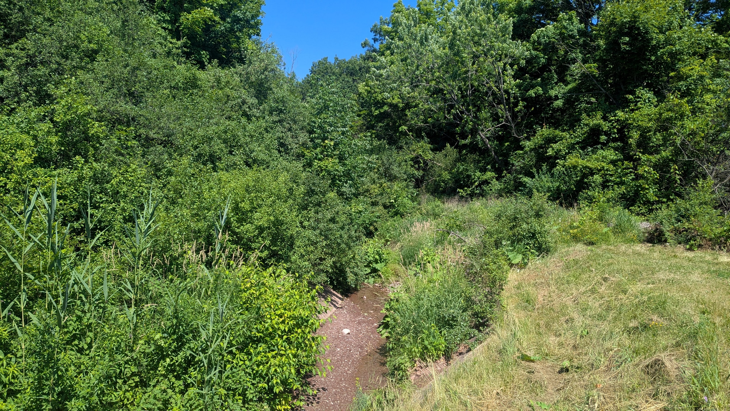
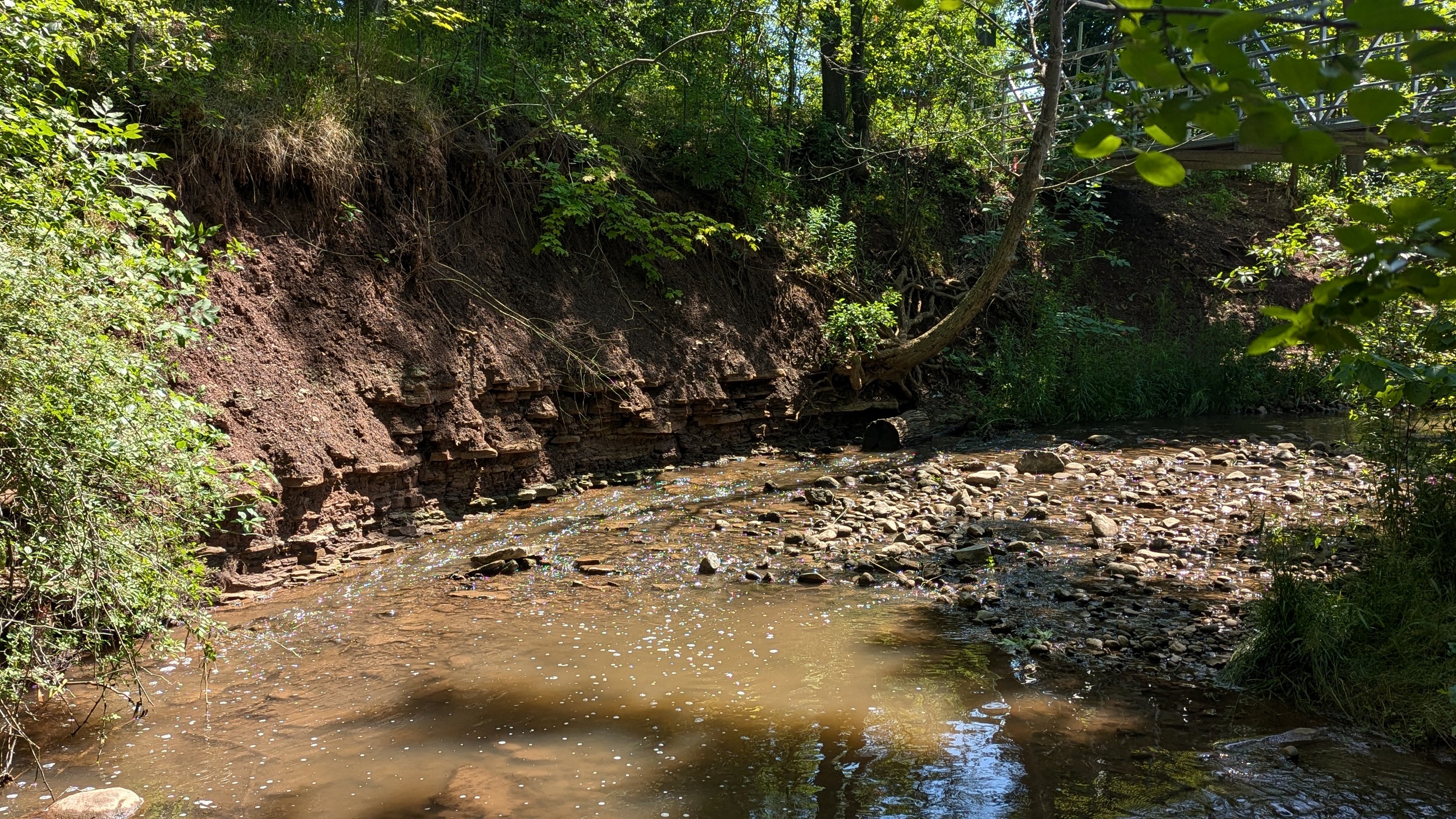
No formal access behind Elgin Crescent, so it’s a detour along the streets. There’s a ravine south of Falgarwood, which is super steep and with no formal access. I went down anyway to check out the sedimentary creek bed. No bridge at the end across the diversion channel, I soaked my foot.
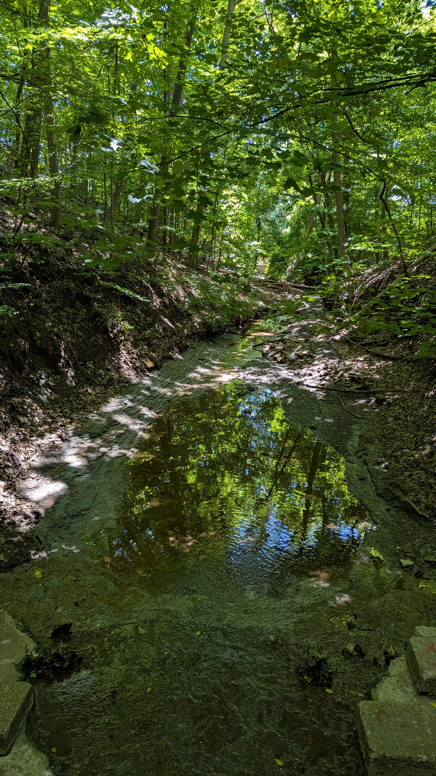


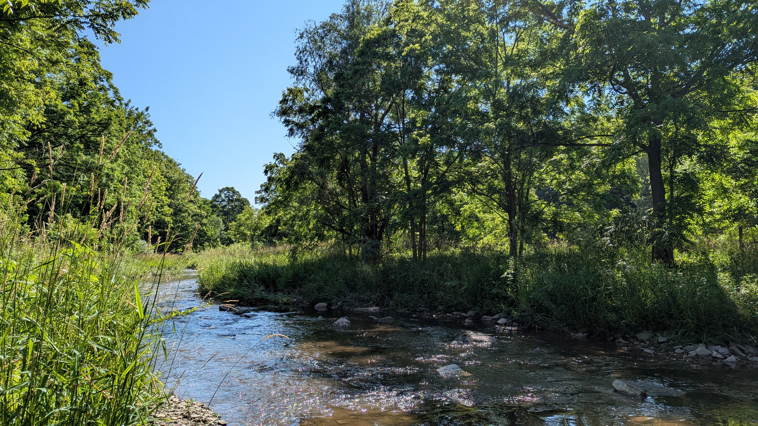
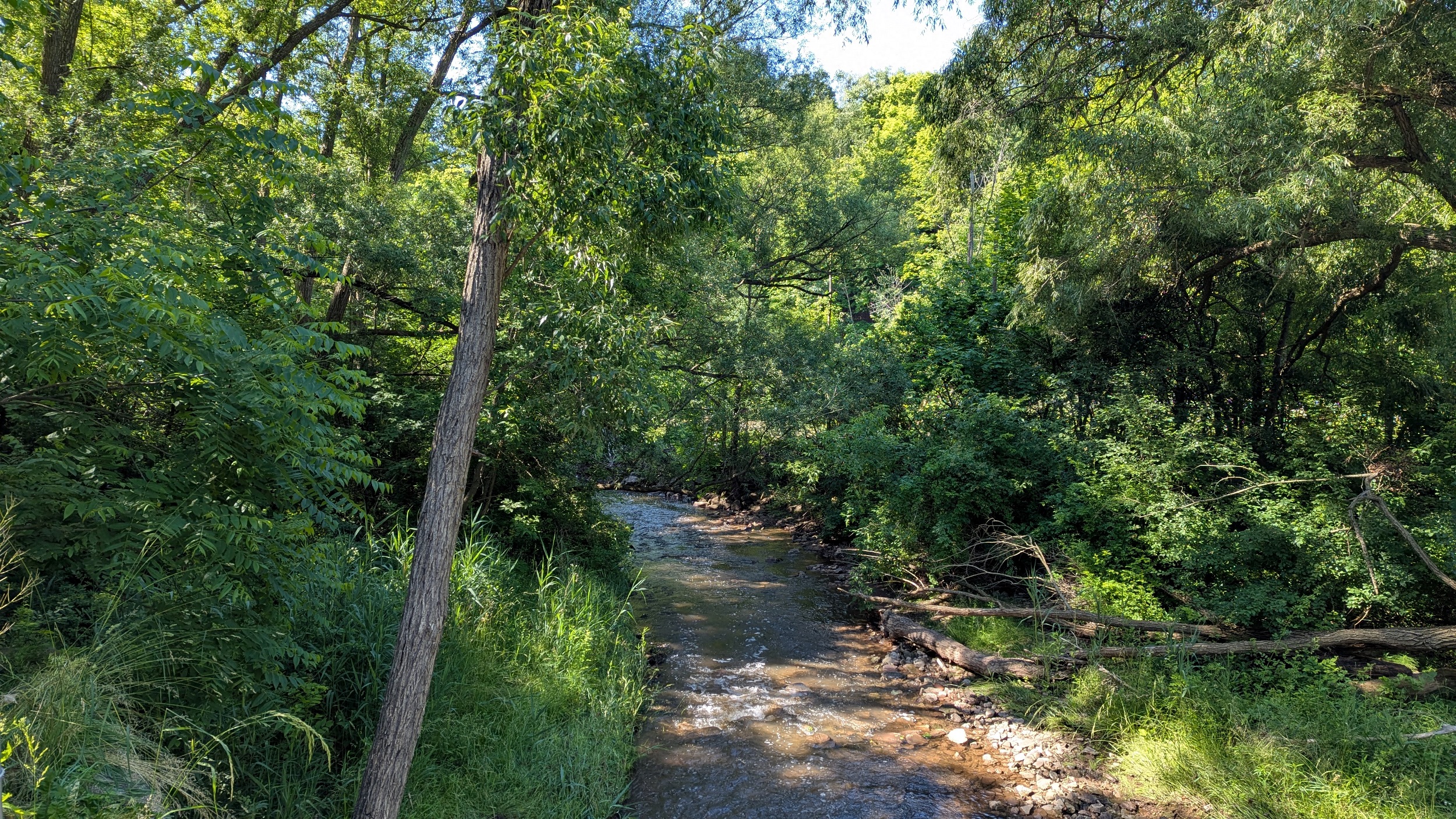
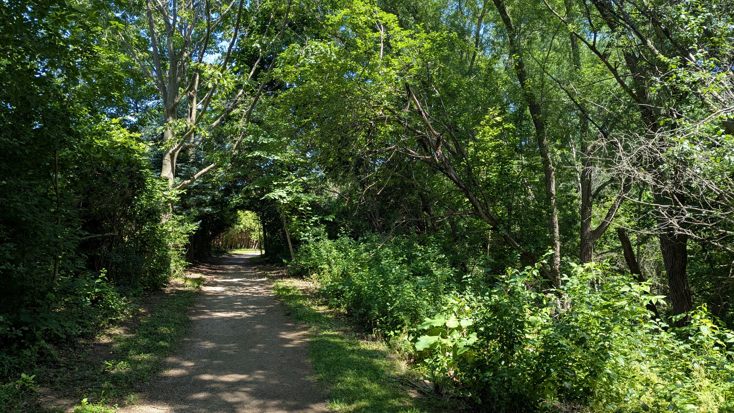
Now we reach a valley with a proper trail (and bridge) connection. East Morrison Creek is certainly incised as well, but it has a wider valley floor, making for a nice beautiful bankside view.
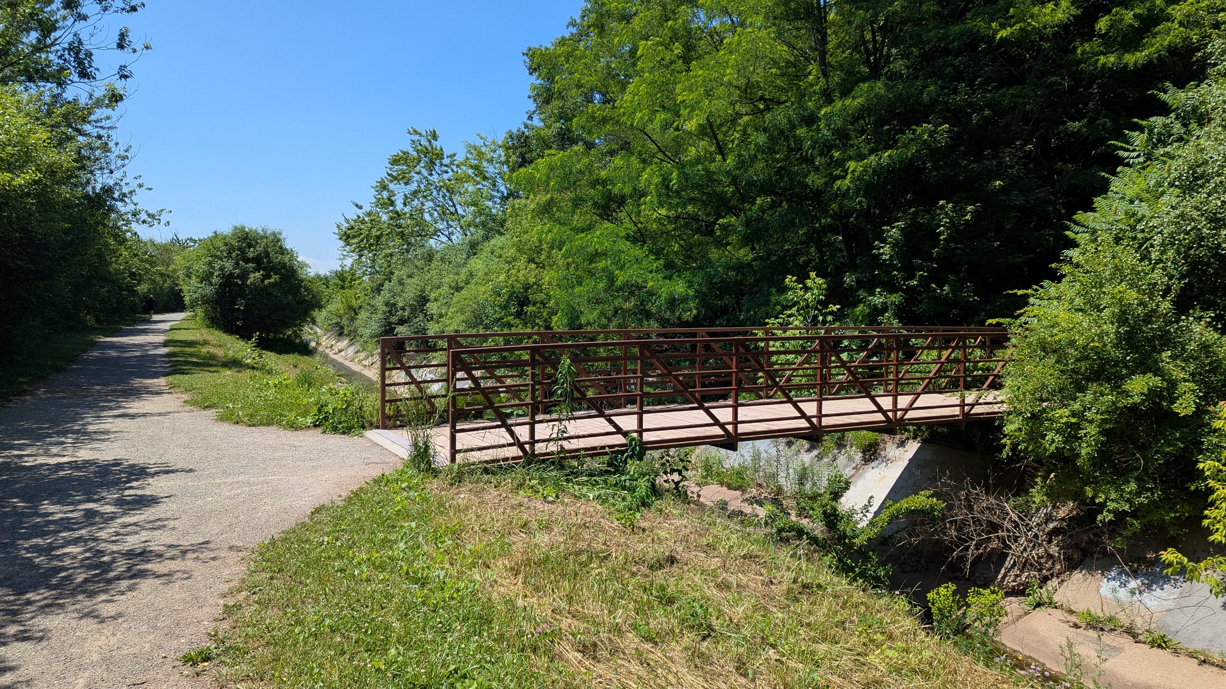


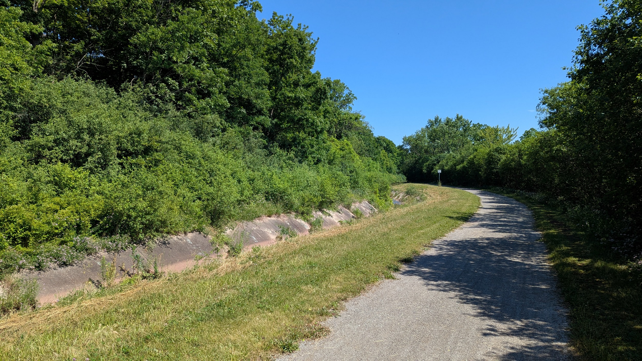
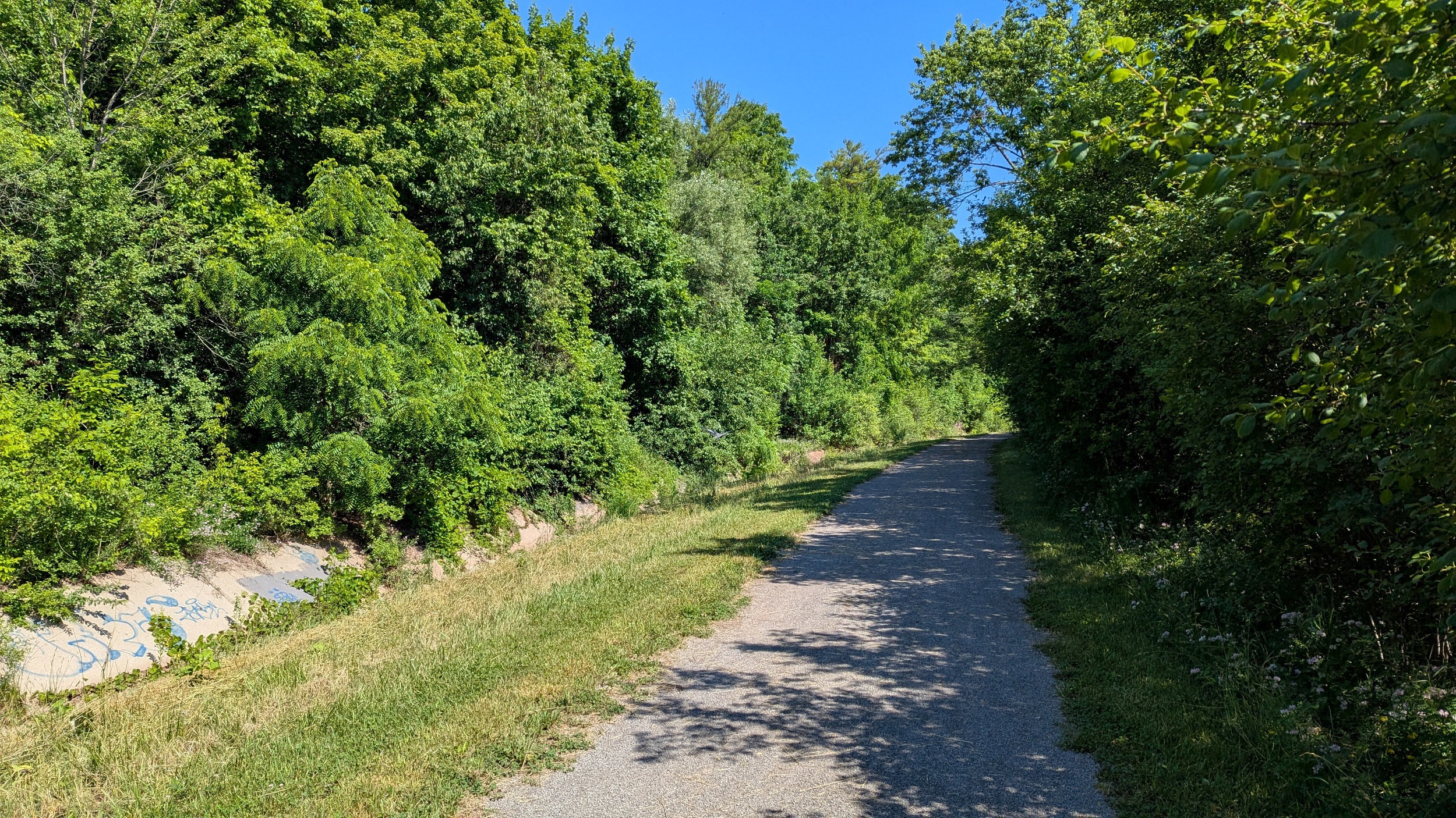
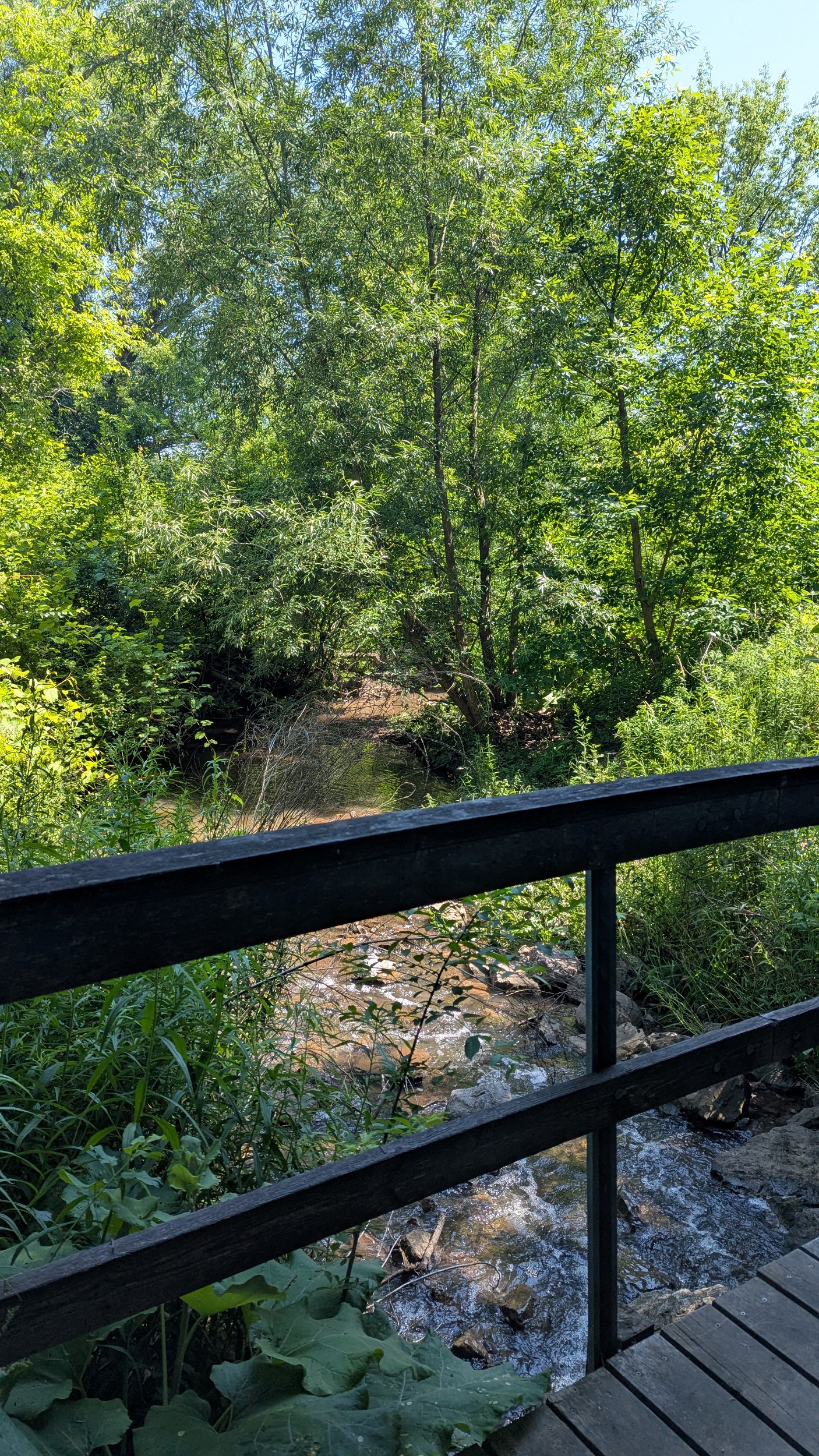
Sedimentary rocks line the bed and make for a number of riffles. There’s signs of a natural meander and even an oxbow. A couple bridges as the trail switches banks and goes over tributaries. This is a very nice trail.


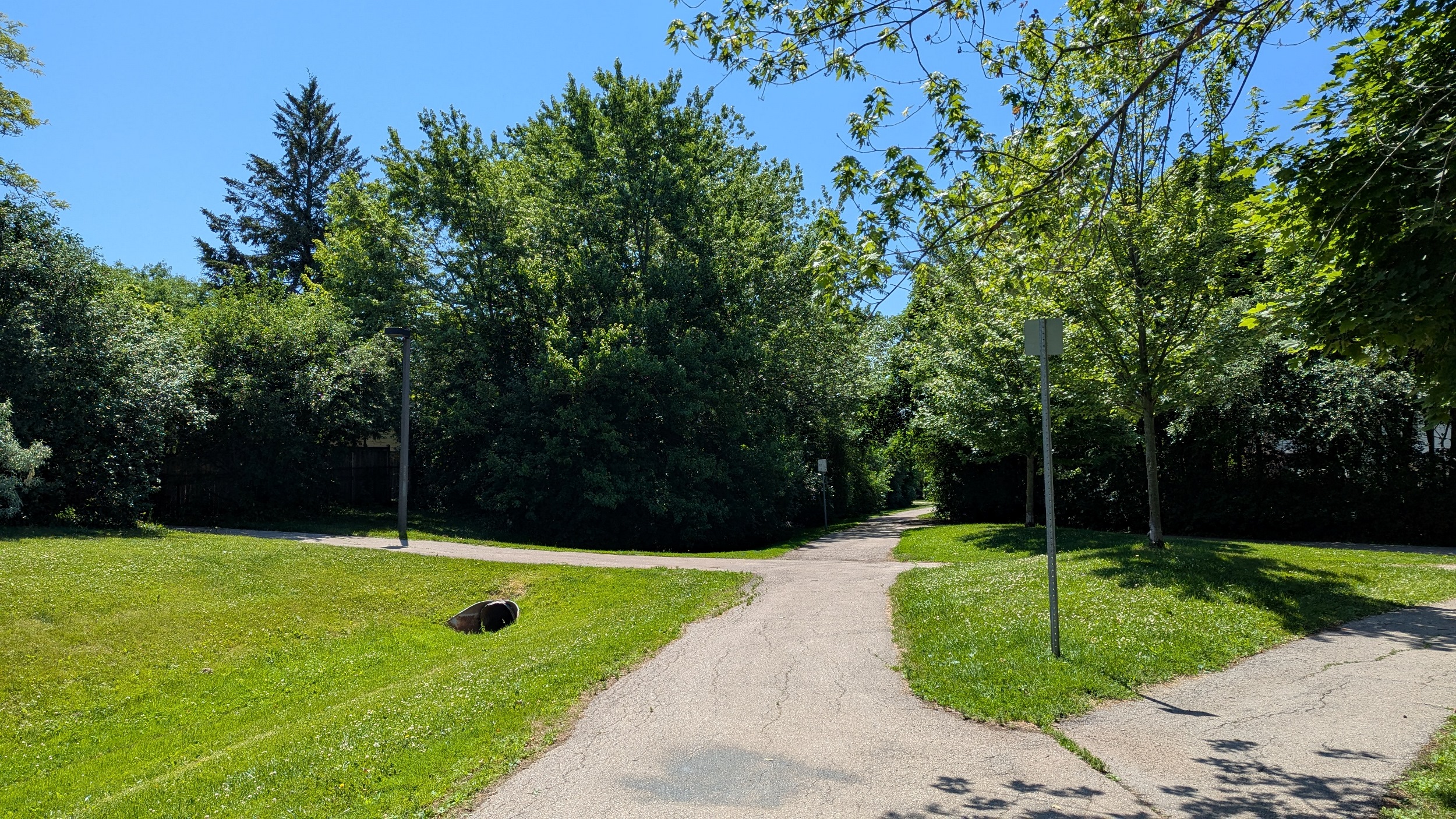
At some point south of Upper Middle Road, you hit a fork in the trail, and decide which upper tableland you want to climb to. A switchback takes you up and adjacent to backyards. Relatively boring, but still good trails, along the valley, with good shade. It’d be wrong to complain.


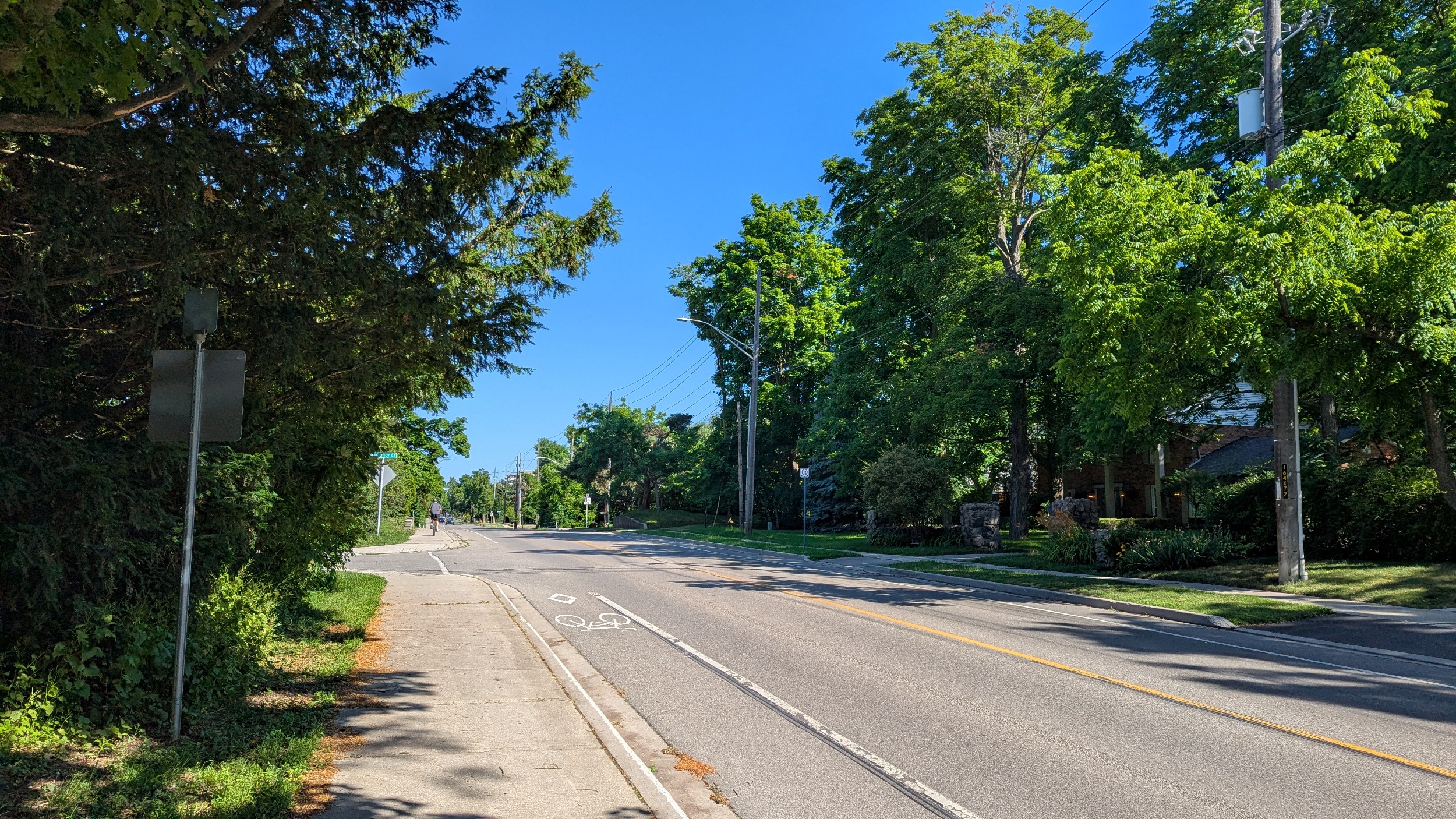
The character of the valley is changing as the creek comes to Trafalgar. Higher density res and commercial strips back onto the now shallow creek. The vegetation is less mature and not able to adequately shade the trail.
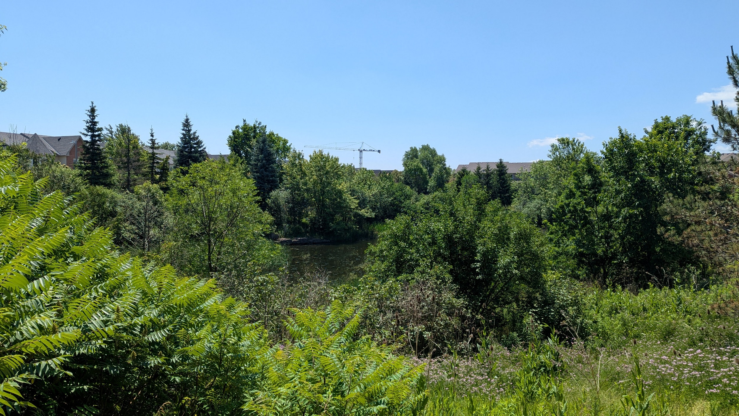

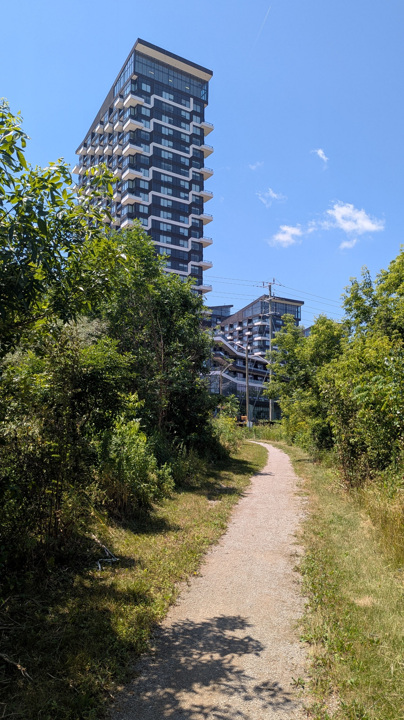

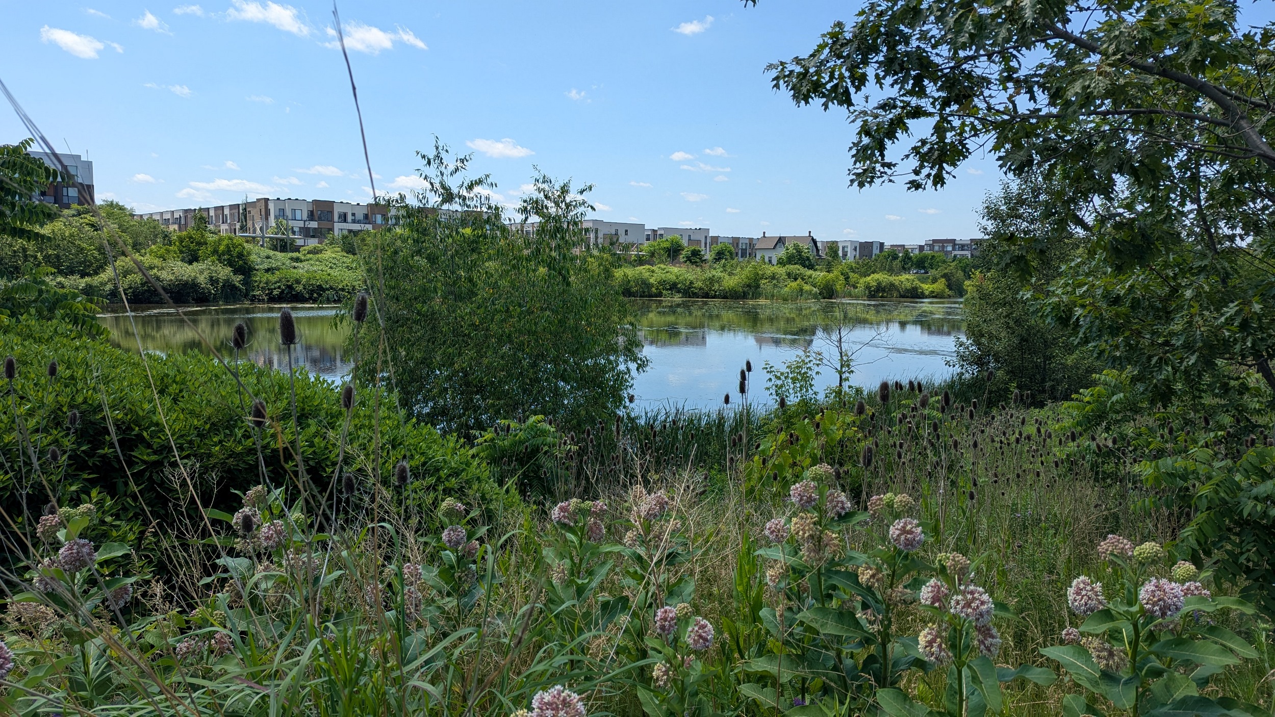
The eastern creek splits into two branches. The eastern branch flanks some unfinished condos. There’s also a massive stormwater management pond for the area development, with a good trail. The creek corridor itself is not bad either, just choked with phragmites.


Now over to the western branch of the eastern creek. There’s a trail wedged between the creek and another large stormwater management pond. Things are more stabilized here, and the trail takes you part of the way to the headwater woodlot. That ends my pursuit of East Morrison Creek.

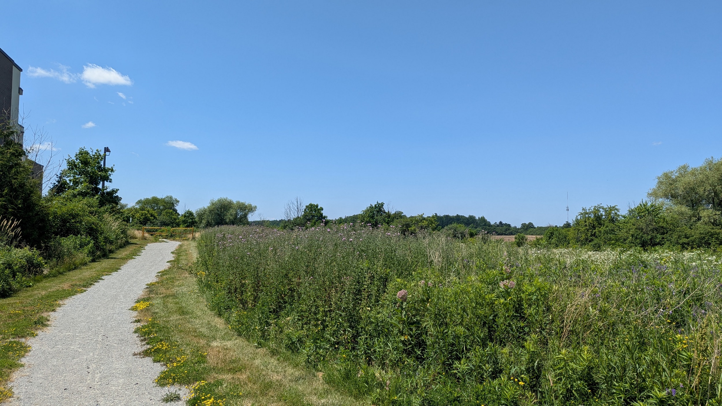
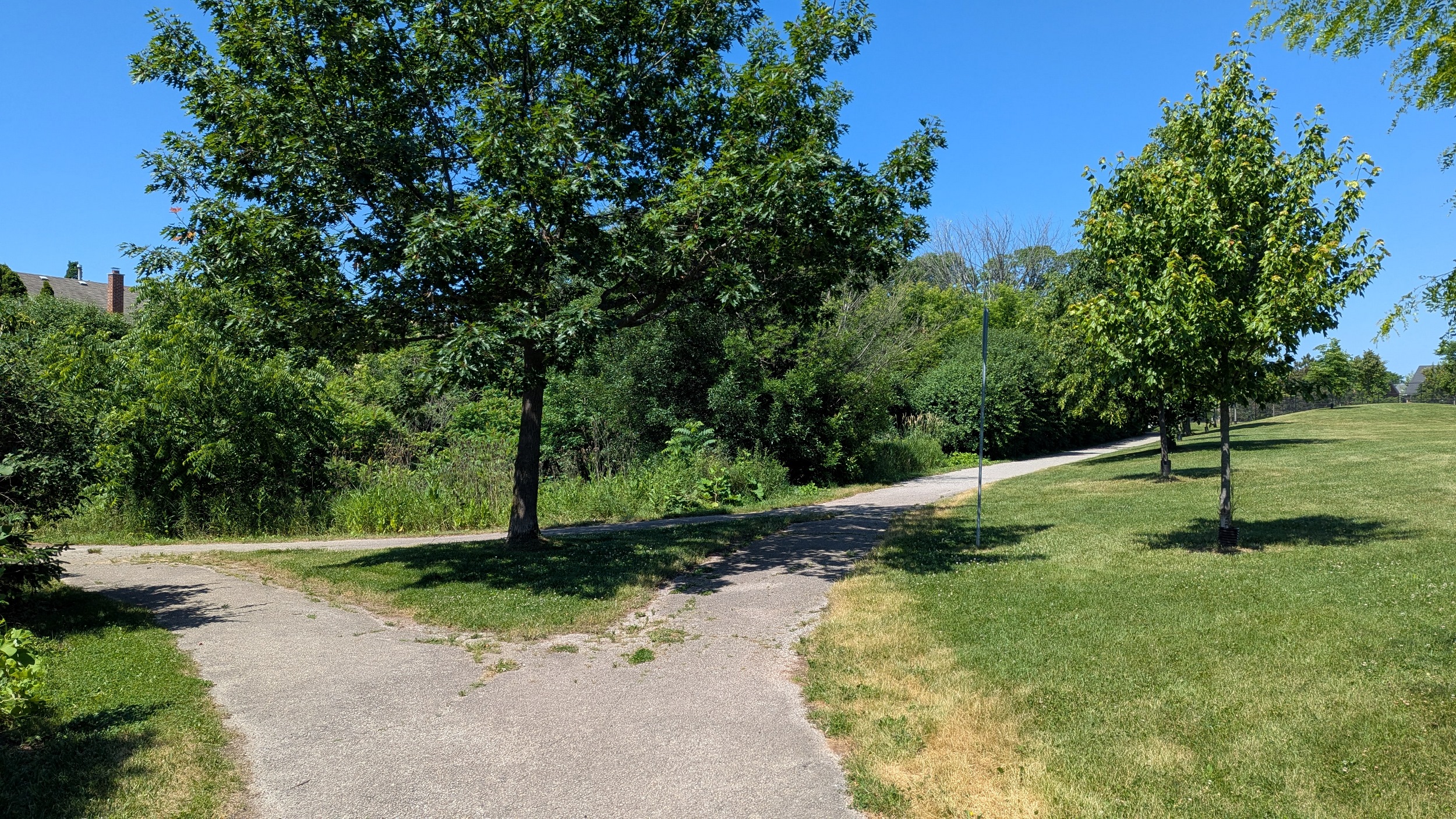
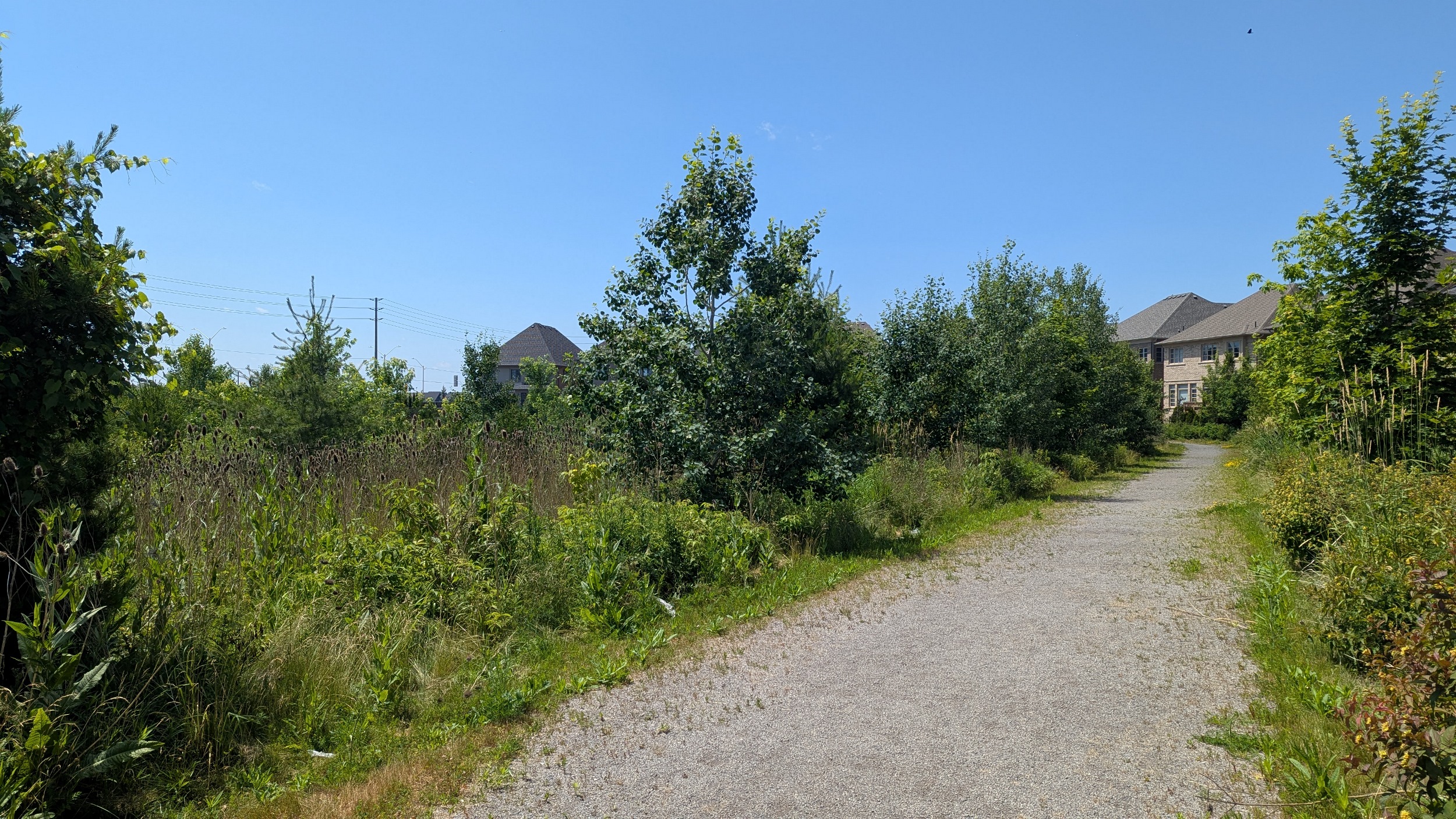
West Morrison Creek starts much like the upper reaches of it’s eastern sister. Open gravely paths that are very hot, and adjacent to stormwater management ponds. But the trail is there and it’s continuous.


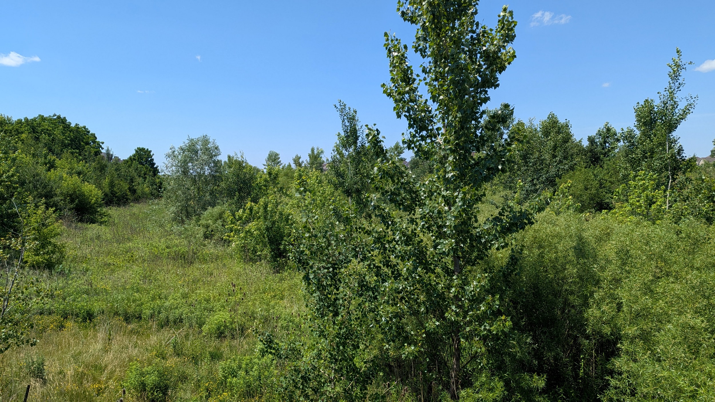
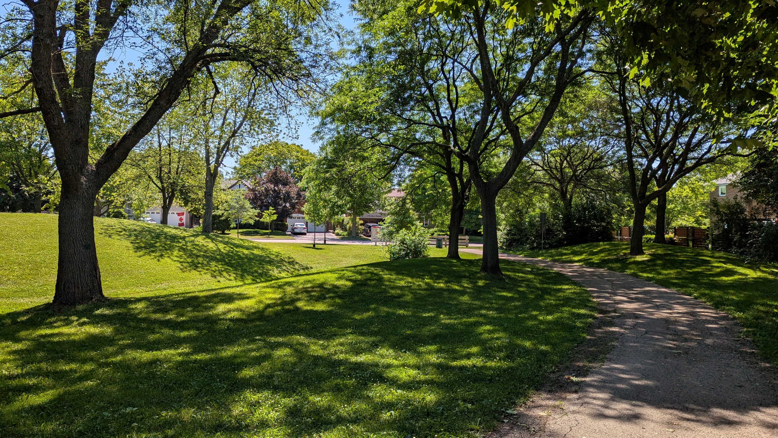
Lots of online ponds here, and a bit more shade. There’s also the usual connections to the neighbourhood, as well as a larger district park.


Up to and past Upper Middle Road, the creek valley has transitioned back to full shade along tableland trails, and then into the valley floor a bit. You can feel the temperature drop in these low shaded spots.


On the last lower reaches of West Morrison Creek, the trail continues a high quality form. Low on the valley floor, zigzagging over the meandering channel as it flanges muddy red silt and rock. Then it stops, and you get kicked to the street. Kind of a sudden and bizarre ending.


The time walking along the street was short. A new tableland trail started again a bit further down. Then after flanking an open field for a bit, the creek must dump into a storm sewer under Trafalgar. That takes you back to the diversion channel, and that caps my walk for today. Thanks for joining.

Date: June 29, 2025
Length: 24.5 km
Type: Riverine