Good morning from north Burlington. Today I’ll be following the TransCanada Pipeline corridor easterly through Burlington and Oakville to Highway 403. Let’s go.
Not even 10 minutes into my walk and my left sock is wet from falling into a small creek with no direct bridge. This will likely be a theme today; the pipeline corridor is straight, but numerous north-south oriented challenges will come up.


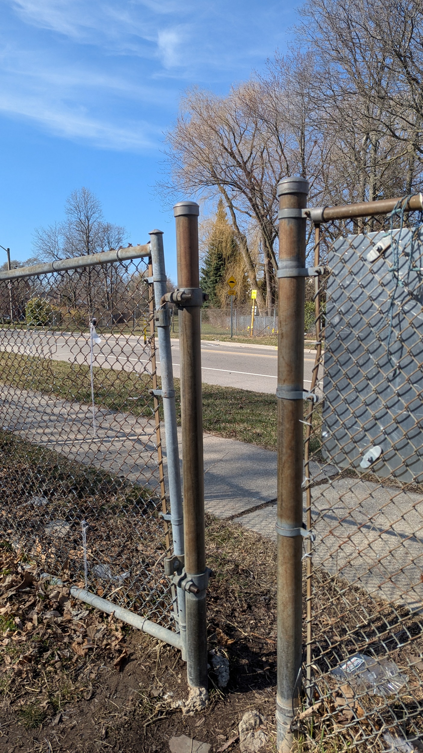
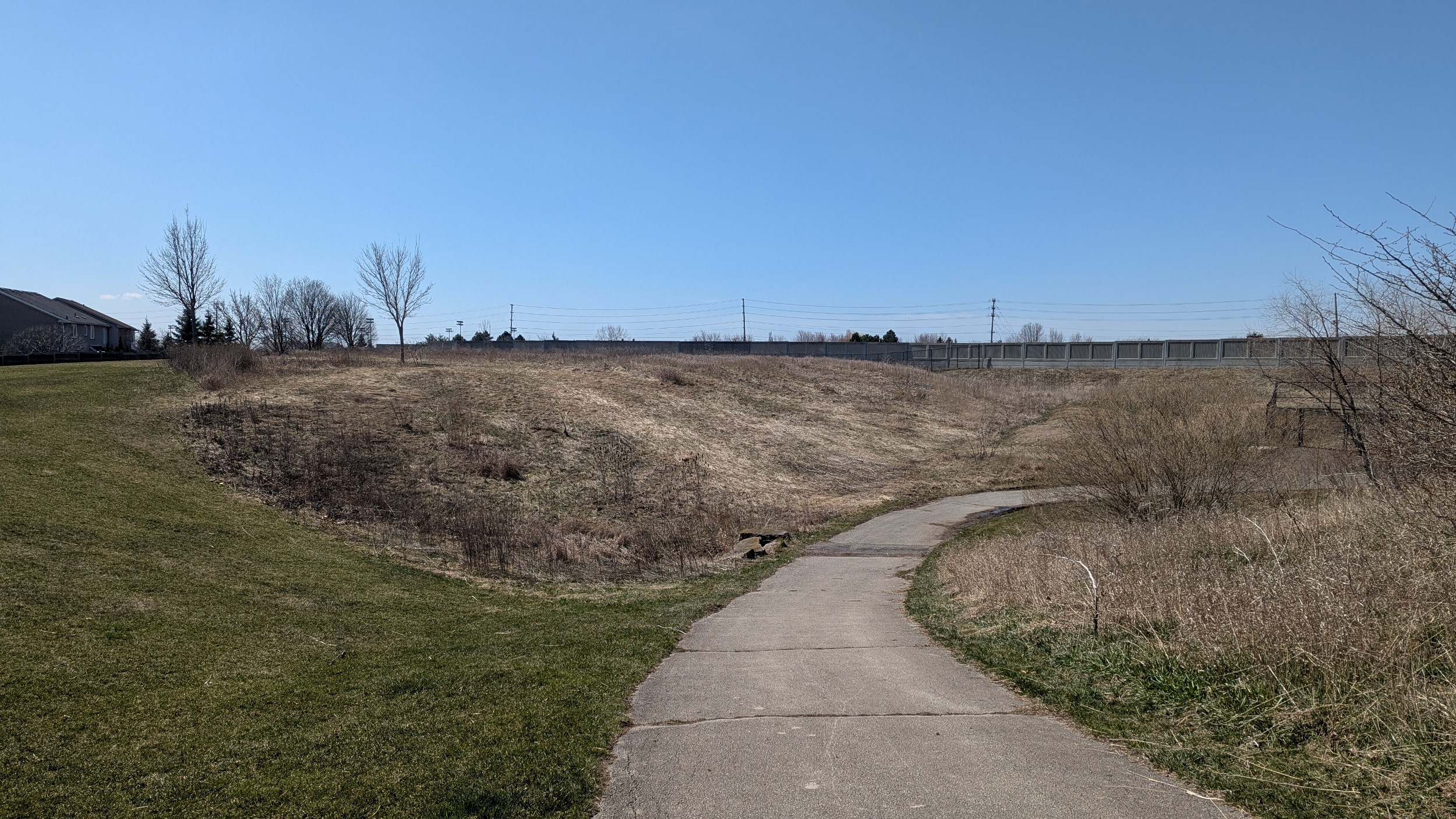
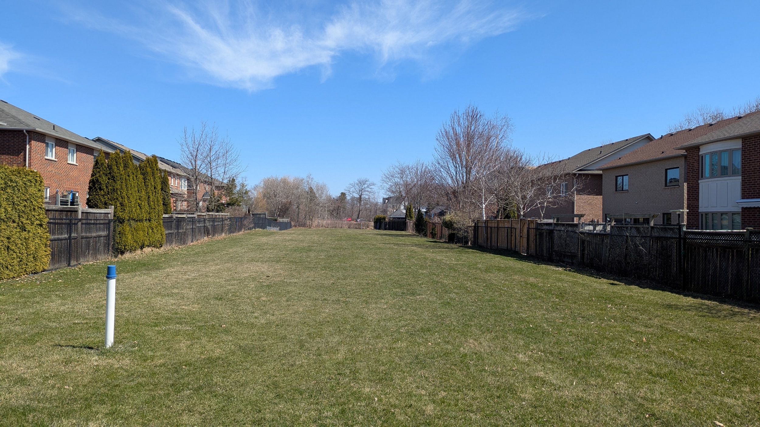
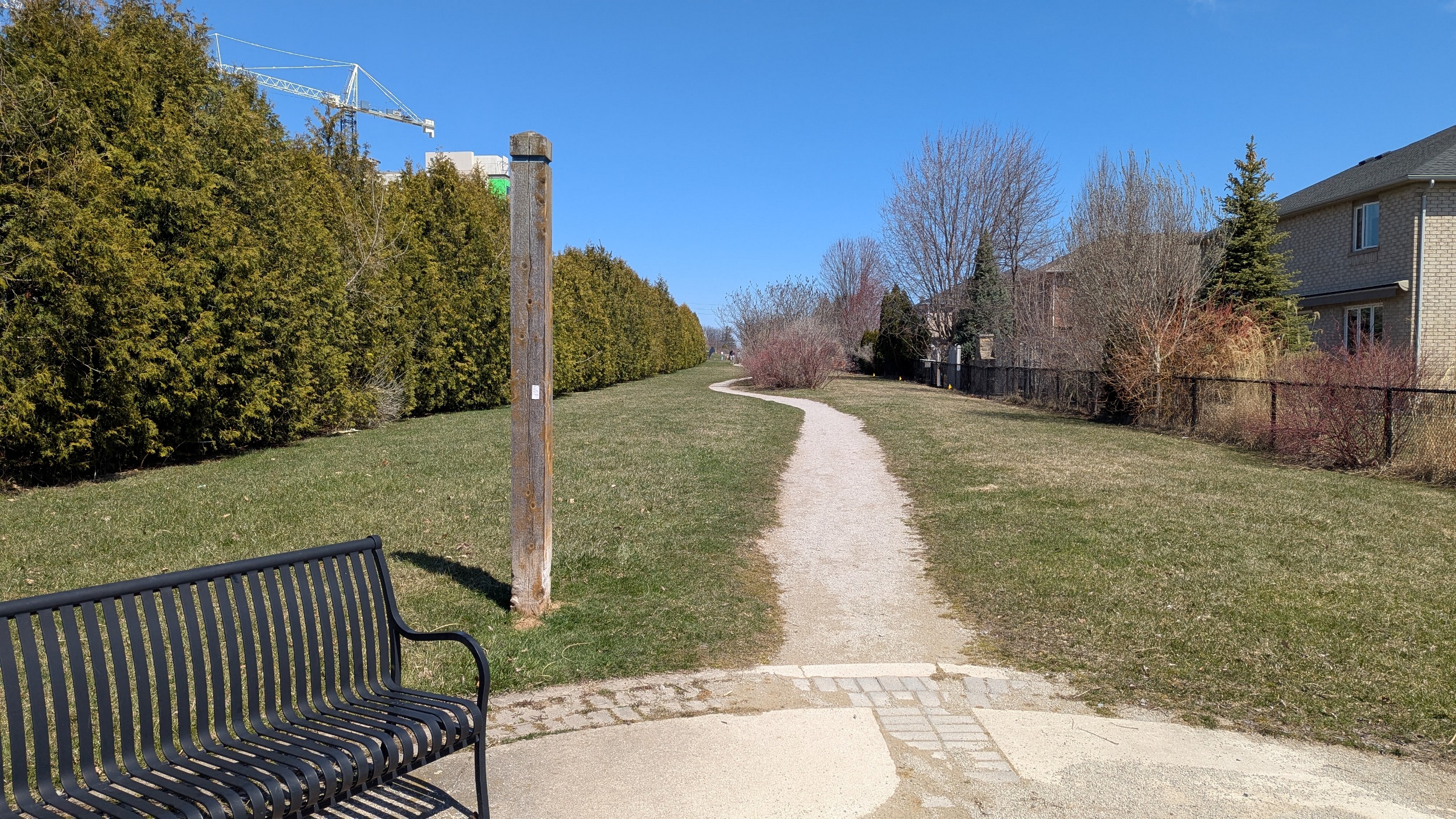
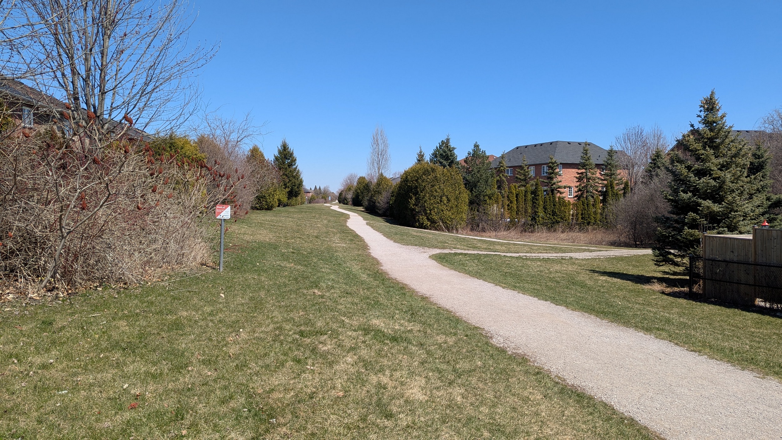
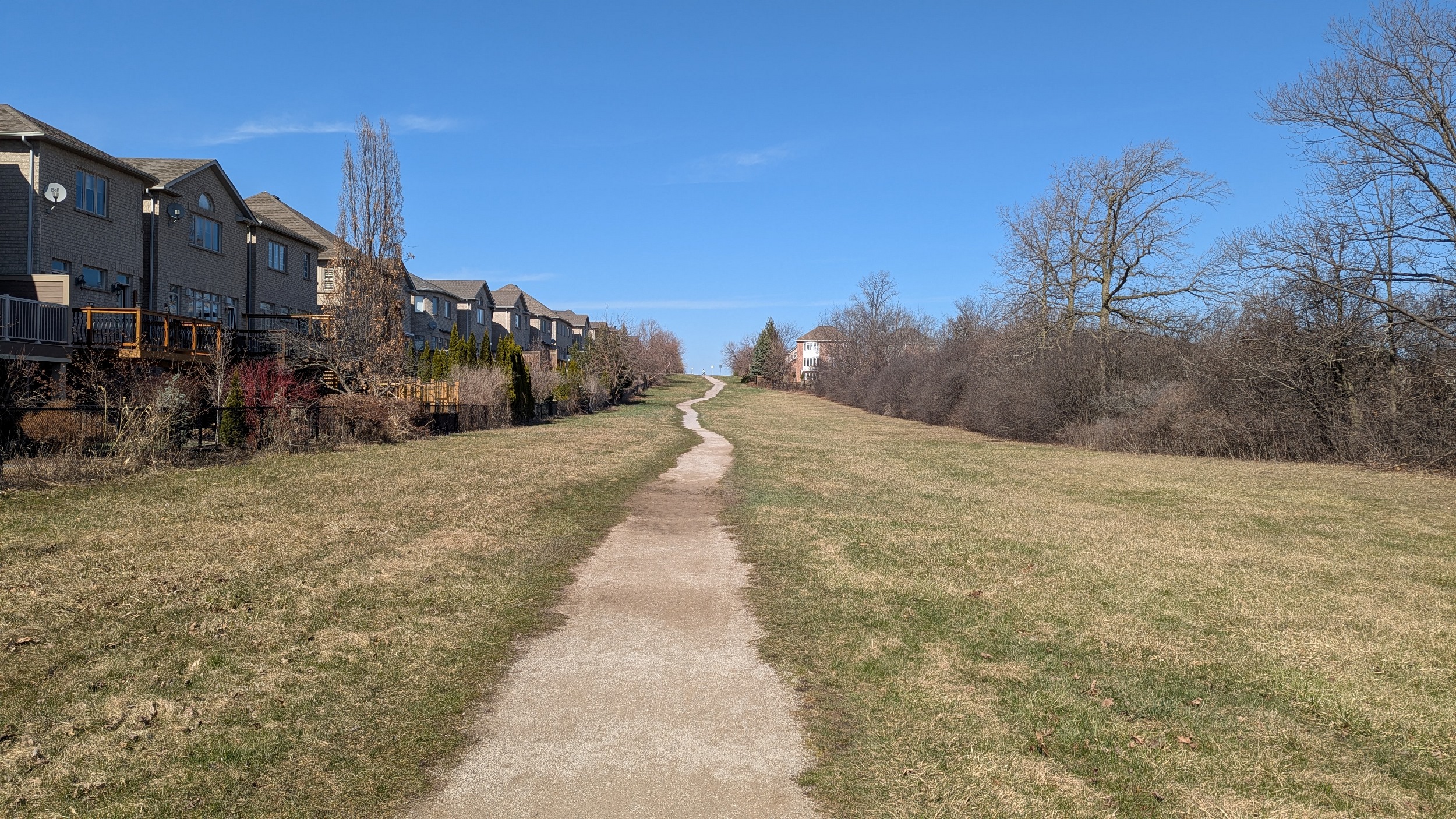
Formal trails have been short lived so far, with most of the corridor consisting of beaten down grass that’s still soggy from rains a week ago. The fencing is also a barrier, with pedestrian gaps only a couple feet wide. I’m having trouble and yet I’m relatively slim.


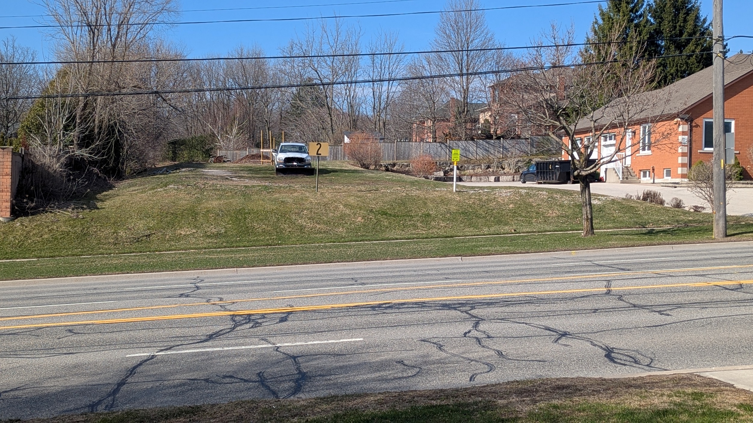
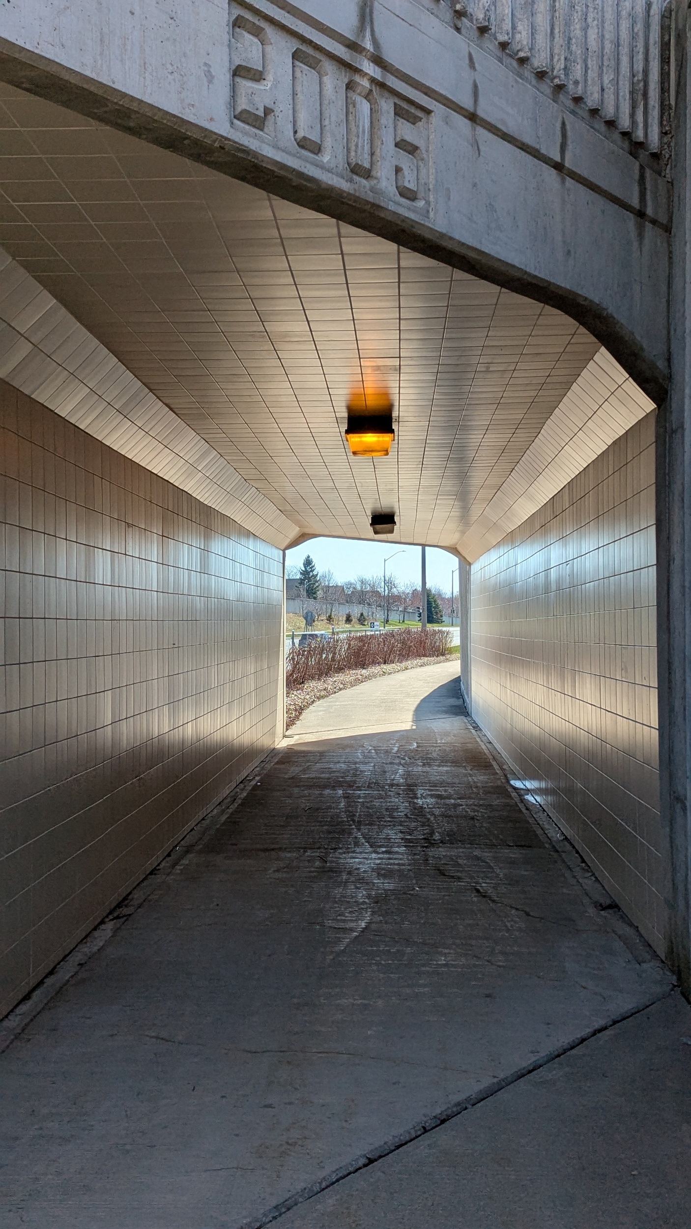
Around the first barrier, which happens to be Highway 407, right at Guelph Line. Then it’s back on track past a water reservoir and compressor station, and through Ireland Park.


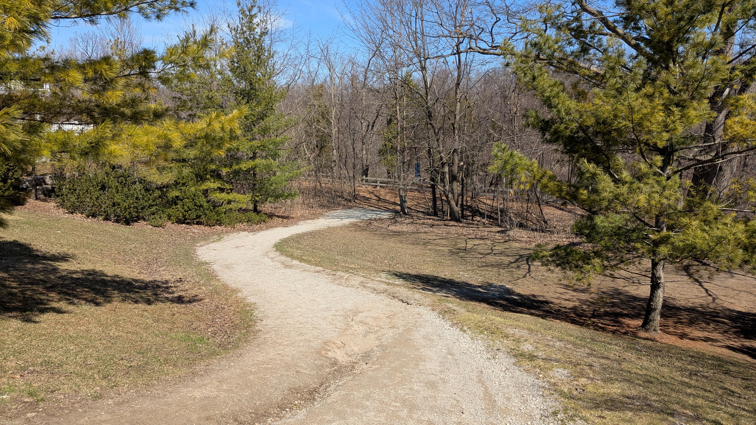
Now we get some trails again, complete with weathered steel bridges over some minor streams with signs of beaver activity. Then after a local street, one utility corridor meets another as you cross beneath hydro lines going in a more northeast-southwest orientation.


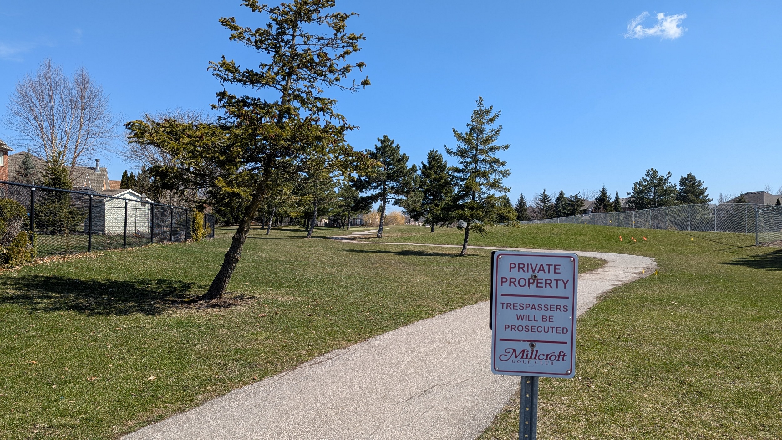
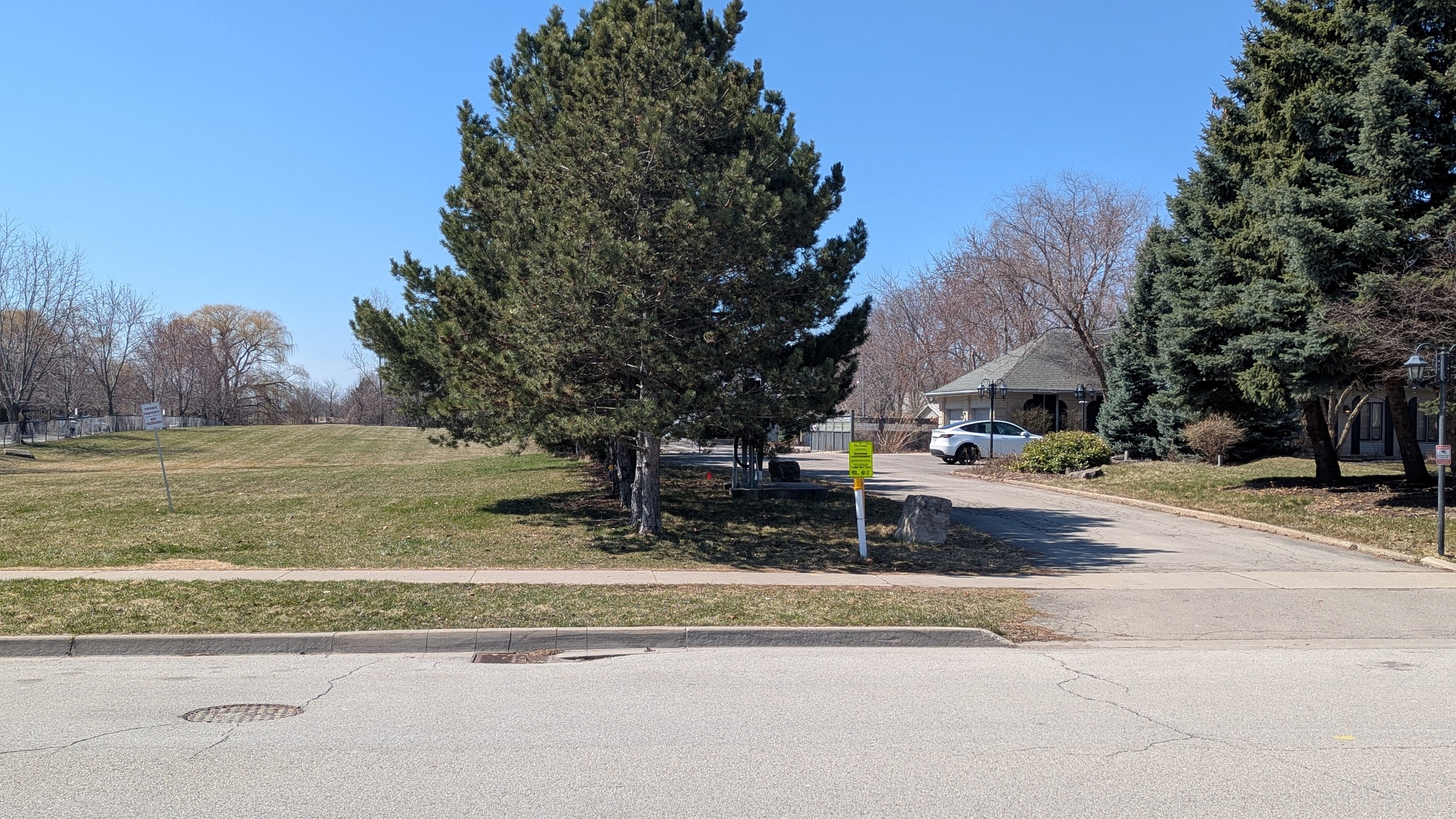
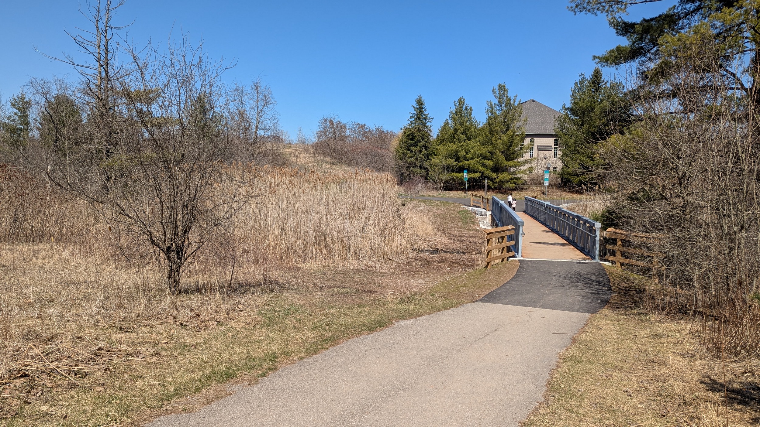
A slight detour as the hydro corridor makes you shift north, and you gotta go back south to get around a creek. Then, something unusual. The corridor goes through Millcroft Golf Course, a figure 8 shaped thing that seems open for public trail use.


Scratch that. Seems I missed the first notice. So much for the words of praise I was going to heap on this setup. It’s as bad as the others. Anyway, the course ends at Turnberry Road, and you gotta navigate under CN’s Halton Subdivision and over Appleby Line.


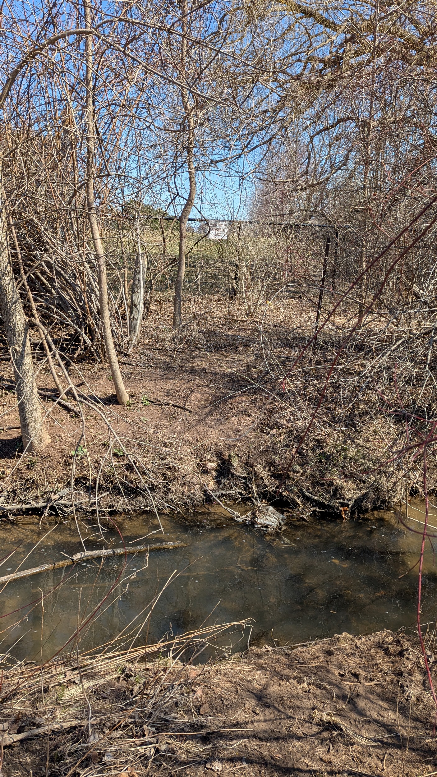
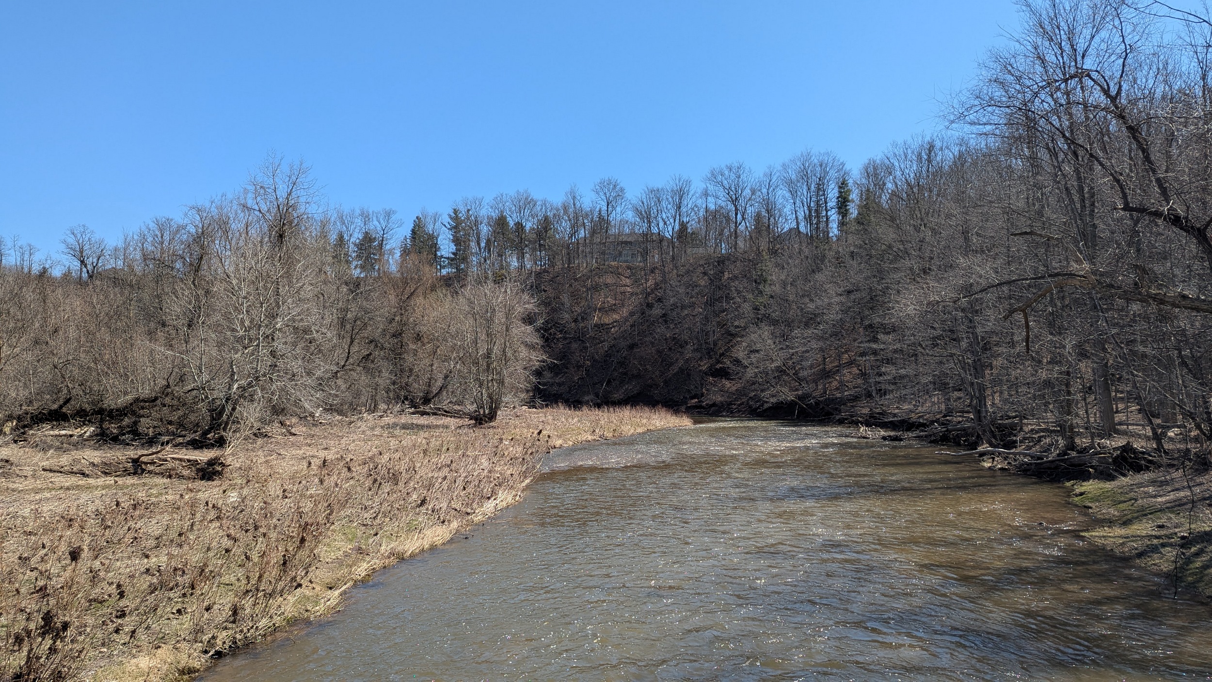
A large detour it was, thanks to a noise wall on the east side with no trail connection. After ducking through a hole in the fence at the back of Pathfinder Park, I’m thwarted again by a creek and a fence, with a sign warning of dogs. TransCanada has a guard dog program?!

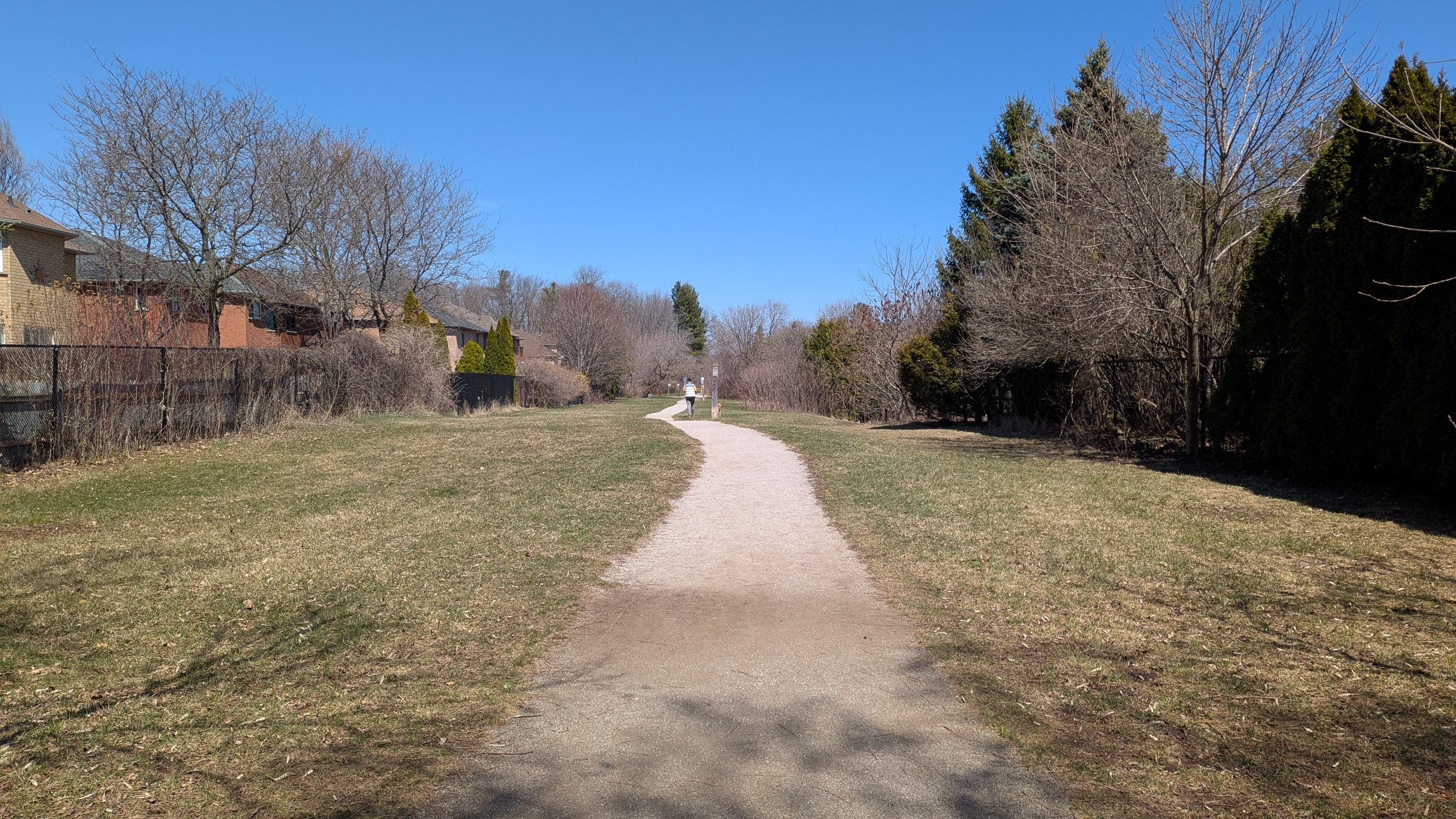
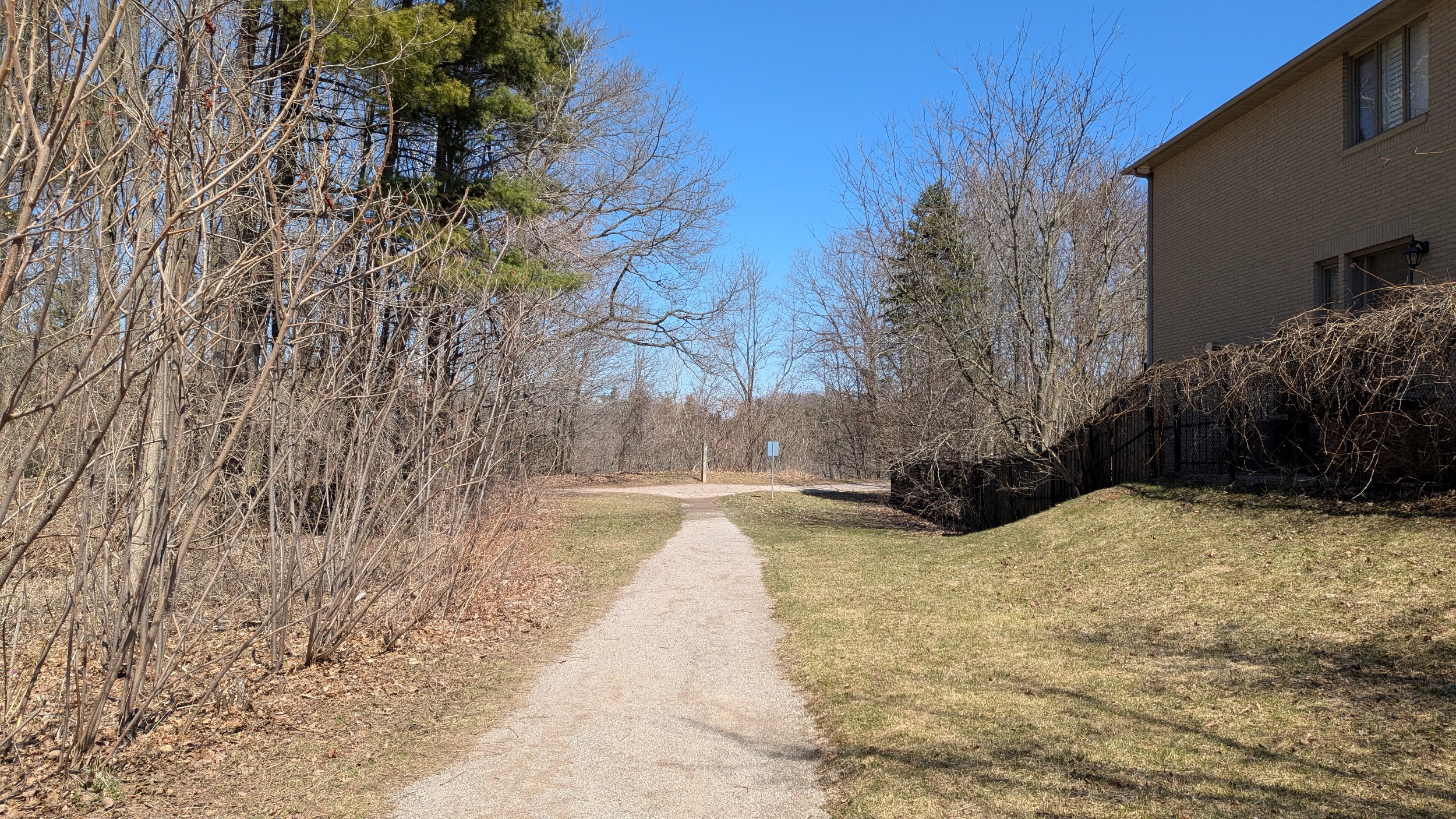
Back to formal trails east of Orchard Road, where it looks like an adjacent landowner may be responsible for the intimidating signs to the west. Through Emerson Park, and then another detour is required at Bronte Creek.


After an extremely long detour around Bronte Creek Provincial Park, you reach the corridor again in Colonel Williams Woods.


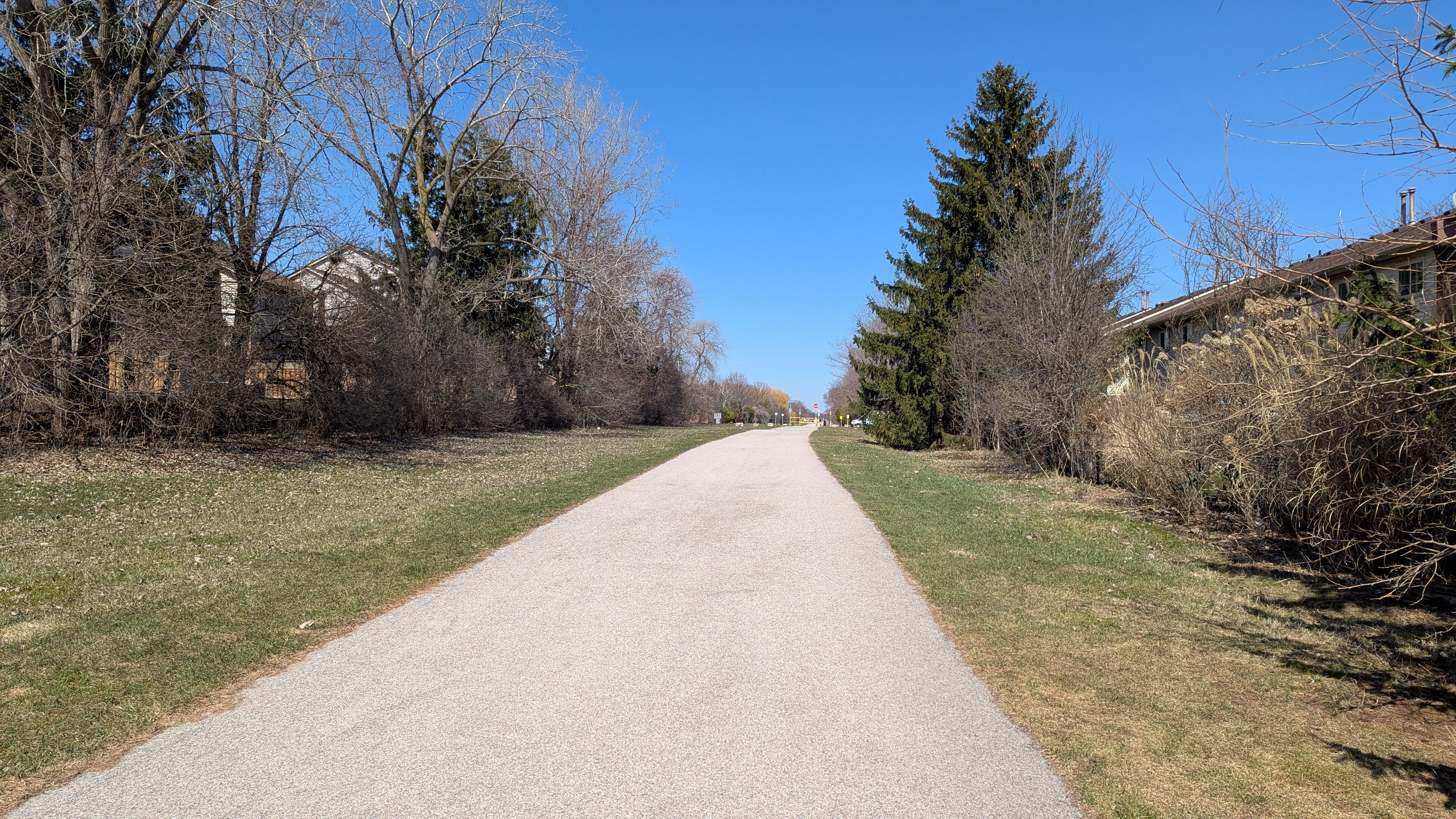
Steady and straight trails, with one exception being Bronte Road. Playing Frogger across wasn’t too difficult, but rush hour is probably a different story.

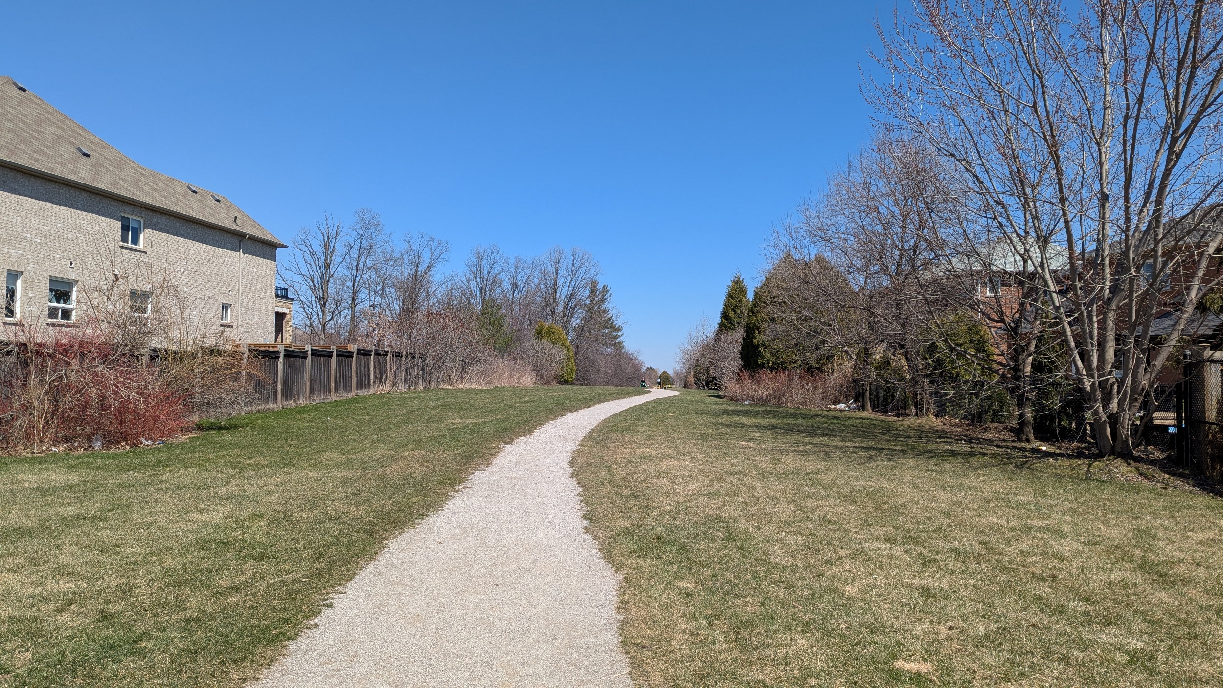
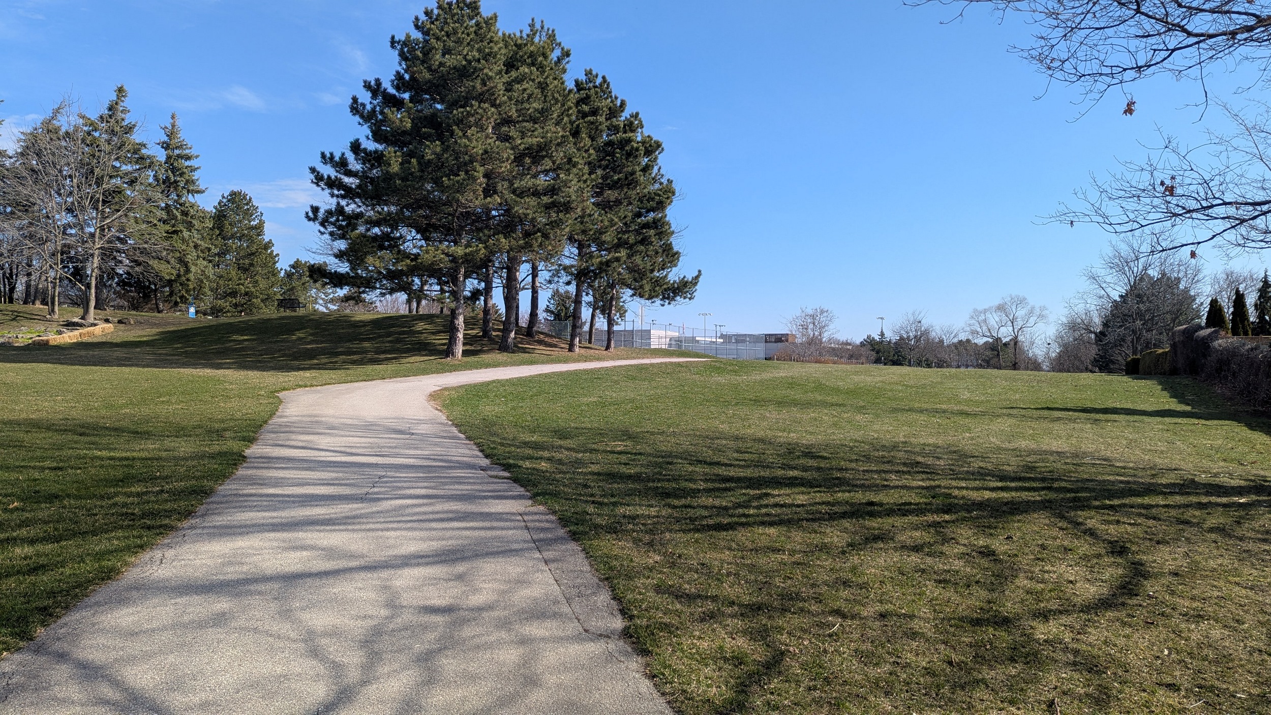
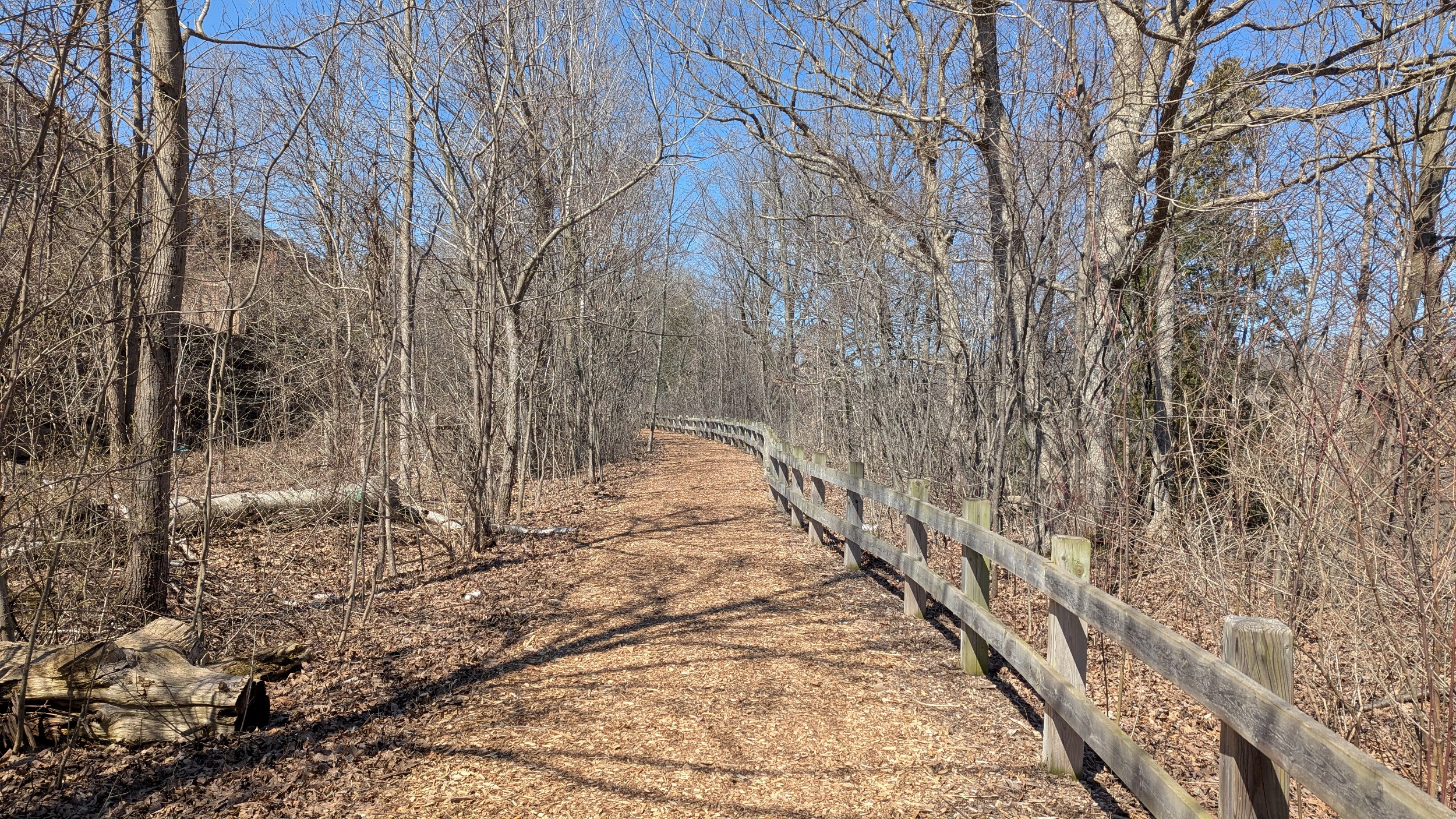
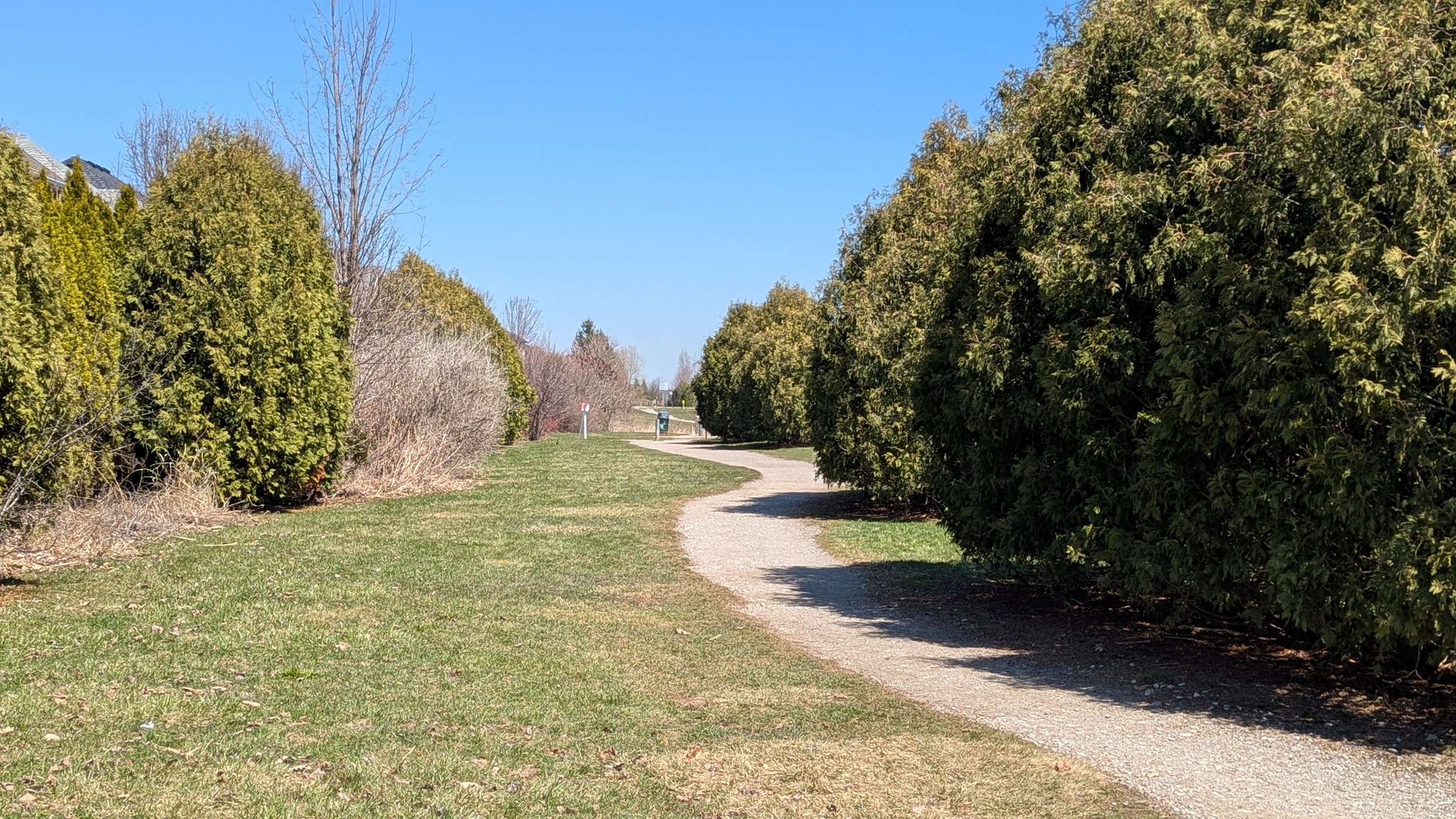
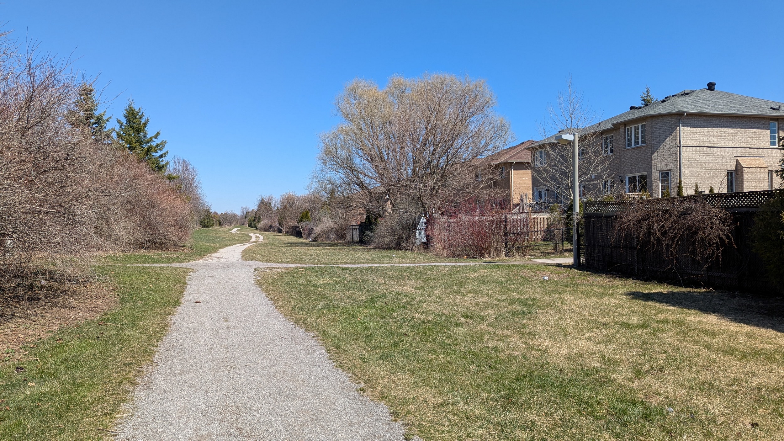
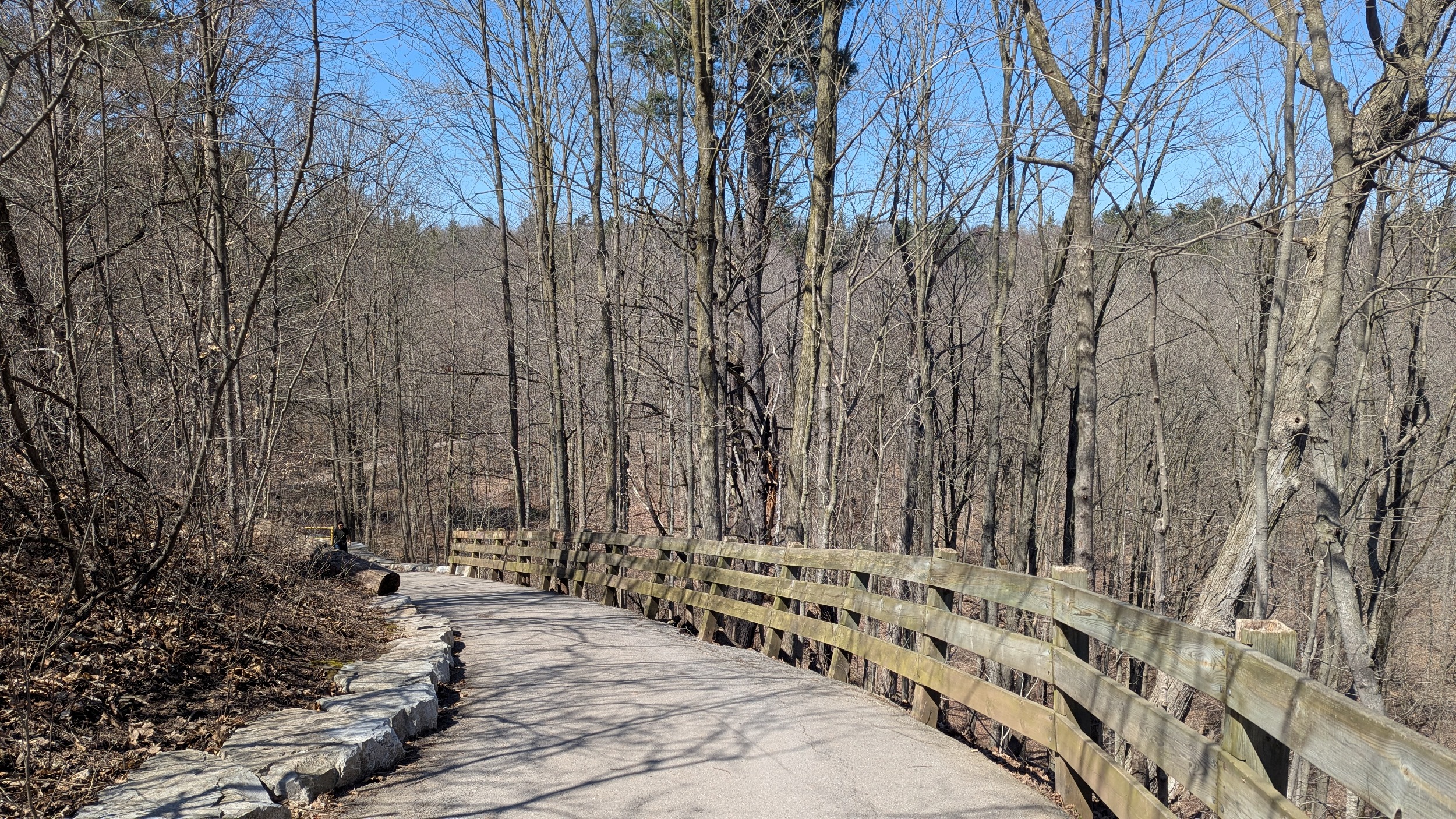
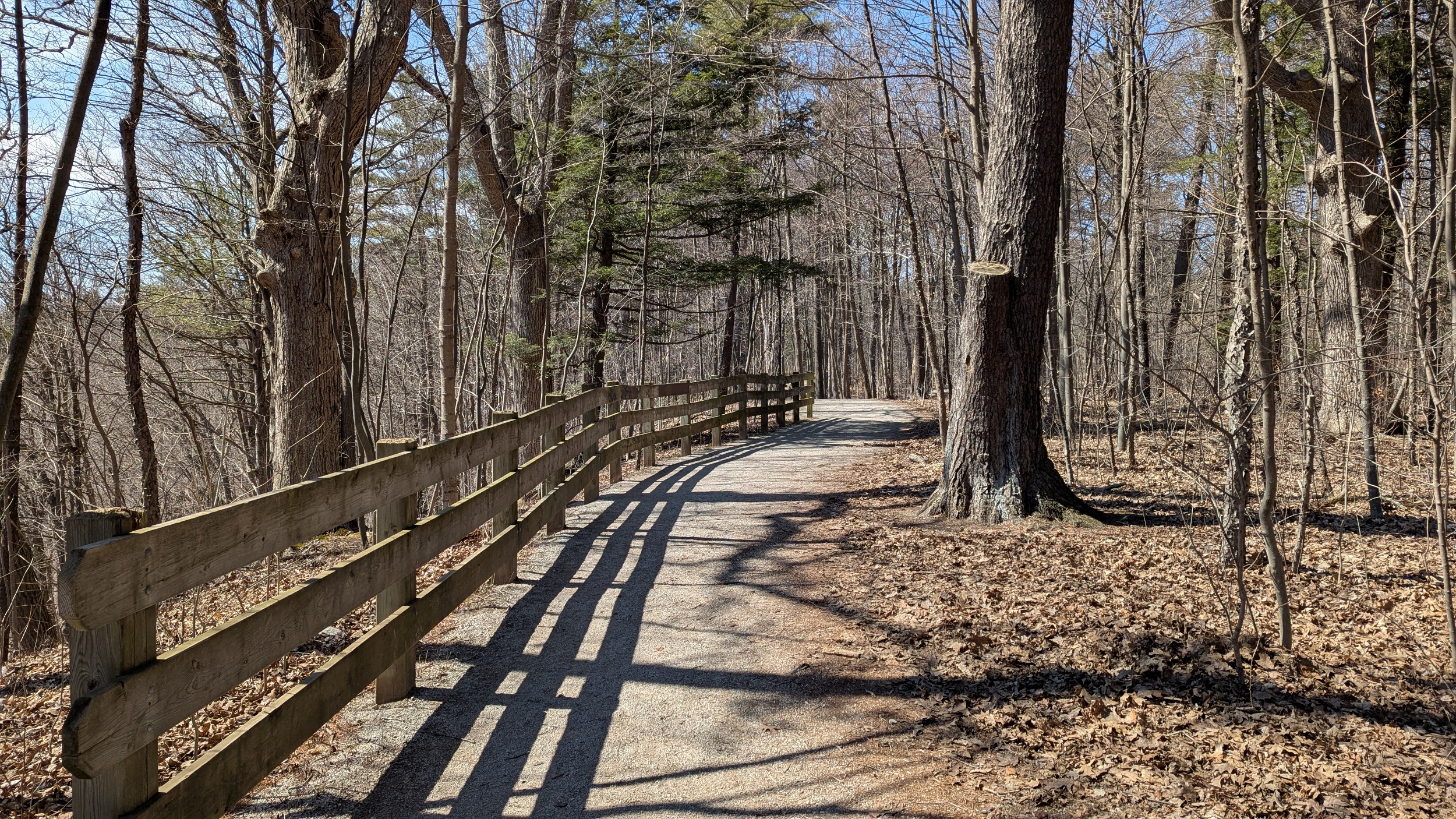
A wholesale difference from Burlington. Arterial stonedust trails bridge over local streams and link to side trails. They meander around compatible patches of vegetation. Fences, P-gates, bollards, garbage cans. Oakville does a good job getting simple things right and making great spaces.


The only knock on this trail system is a lack of crossings at major arterials, or curb cuts at any of the roads. Easy fixes that could elevate it from A to S tier.


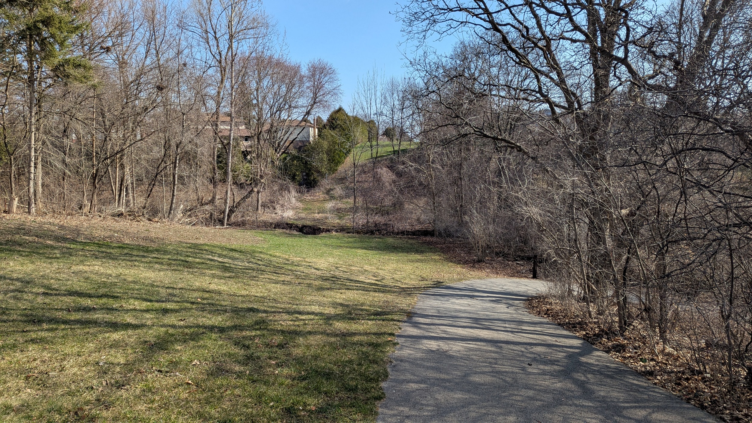
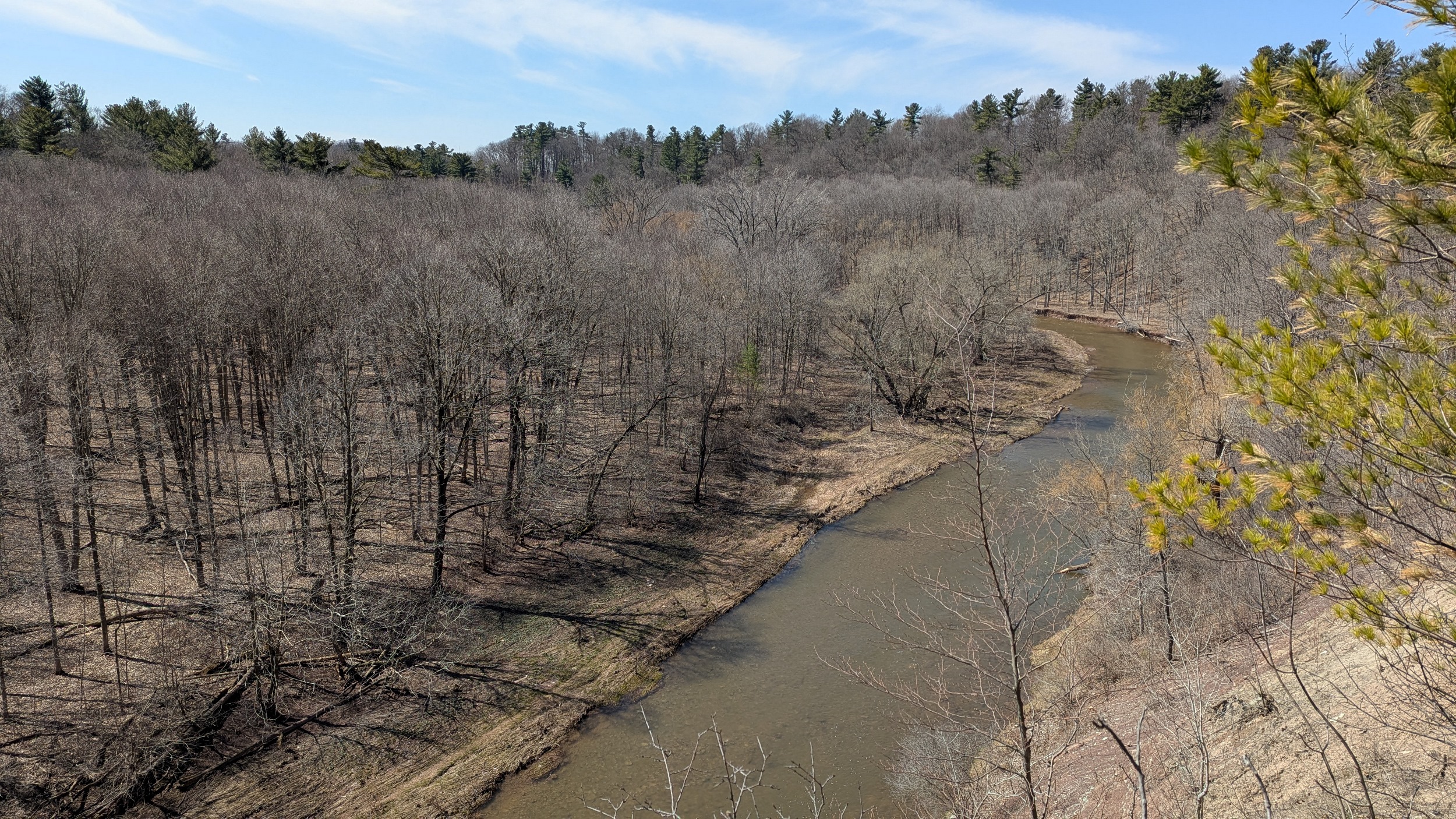
A bit more of a complete linear trail system until east of Sheltered Oak Court, where you hit the valley for Sixteen Mile Creek. This will require a detour to the south.


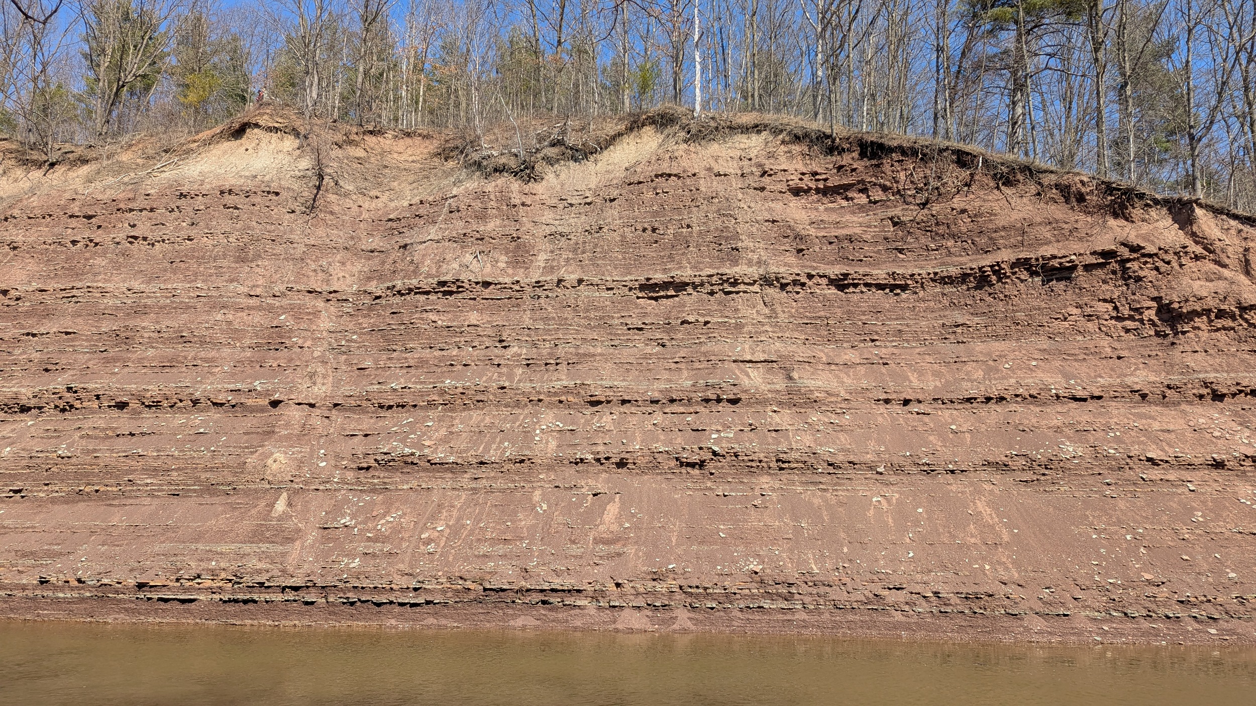
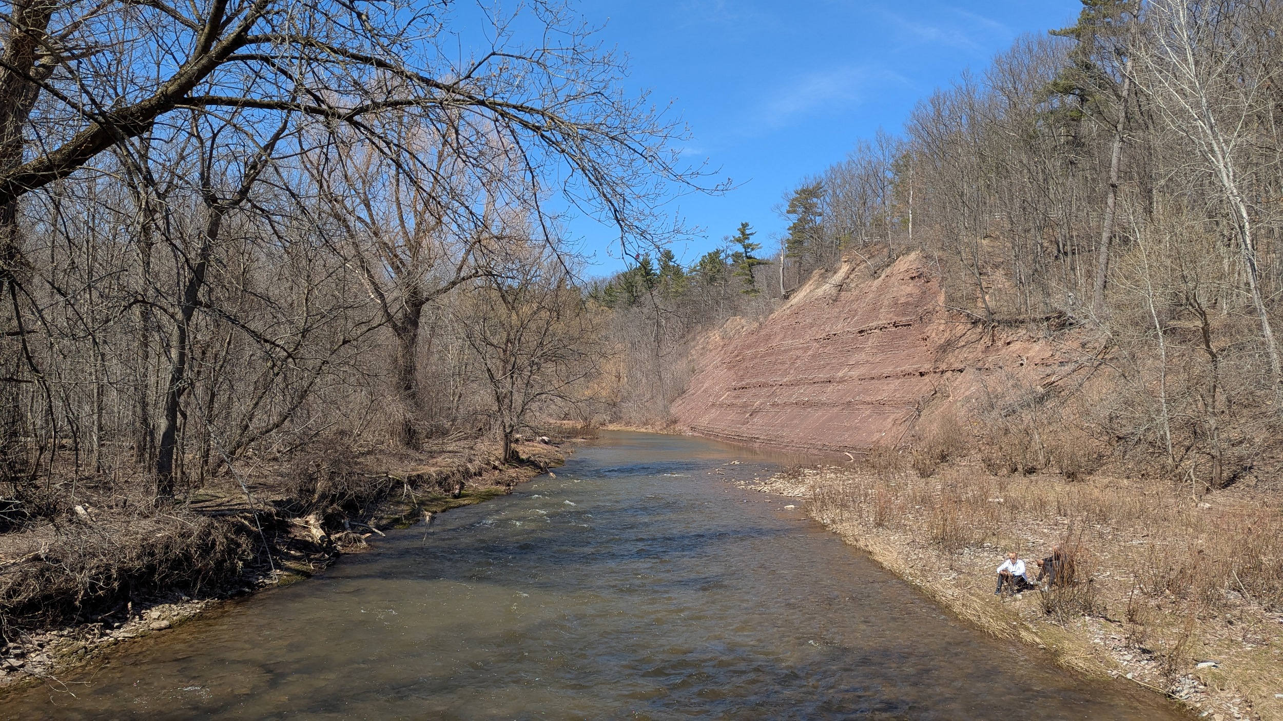
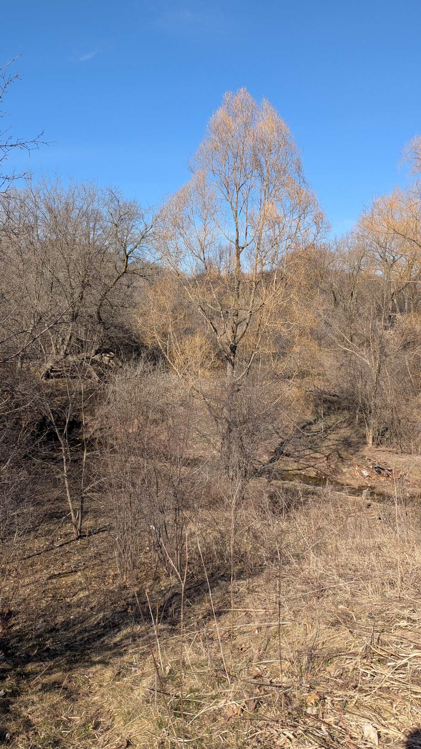
Absolutely incredible detour through Sixteen Mile Creek valley. I absolutely love the shale and sandstone cliffs. Looking forward to coming back here in summer.
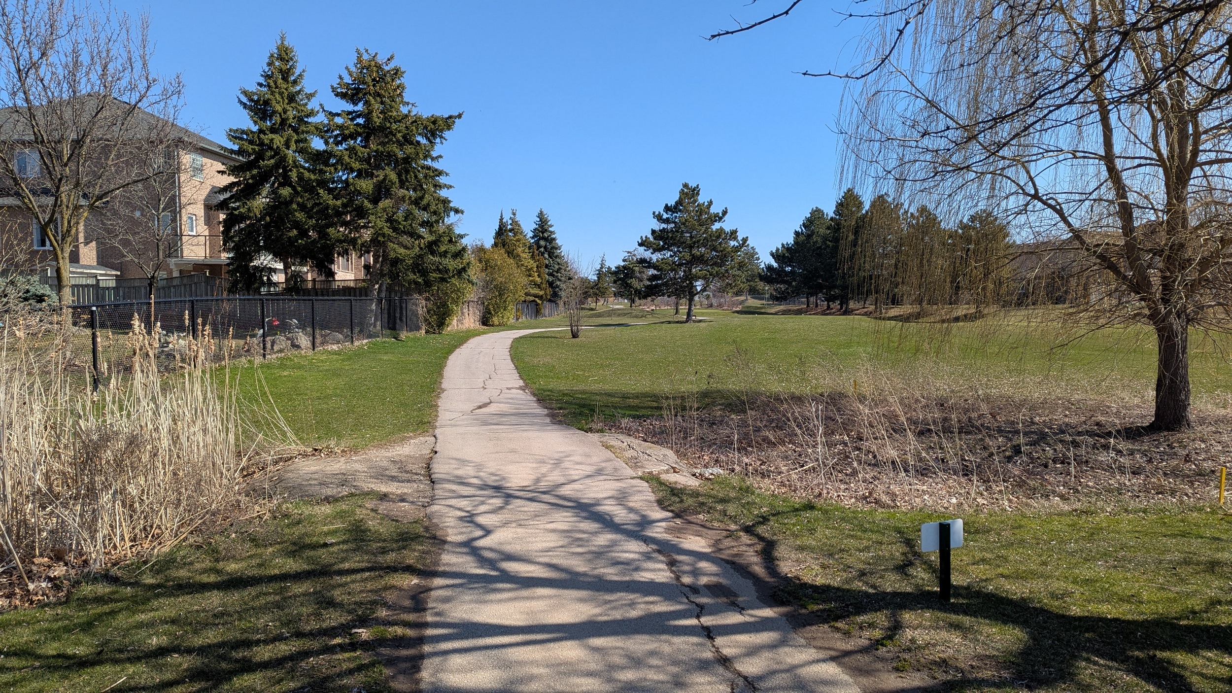
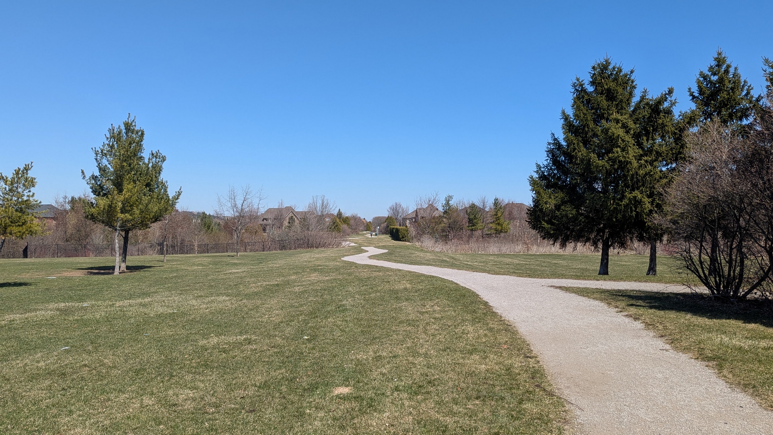
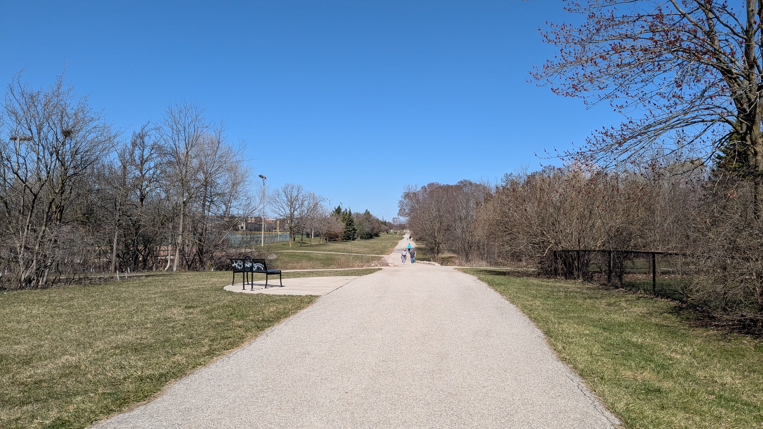
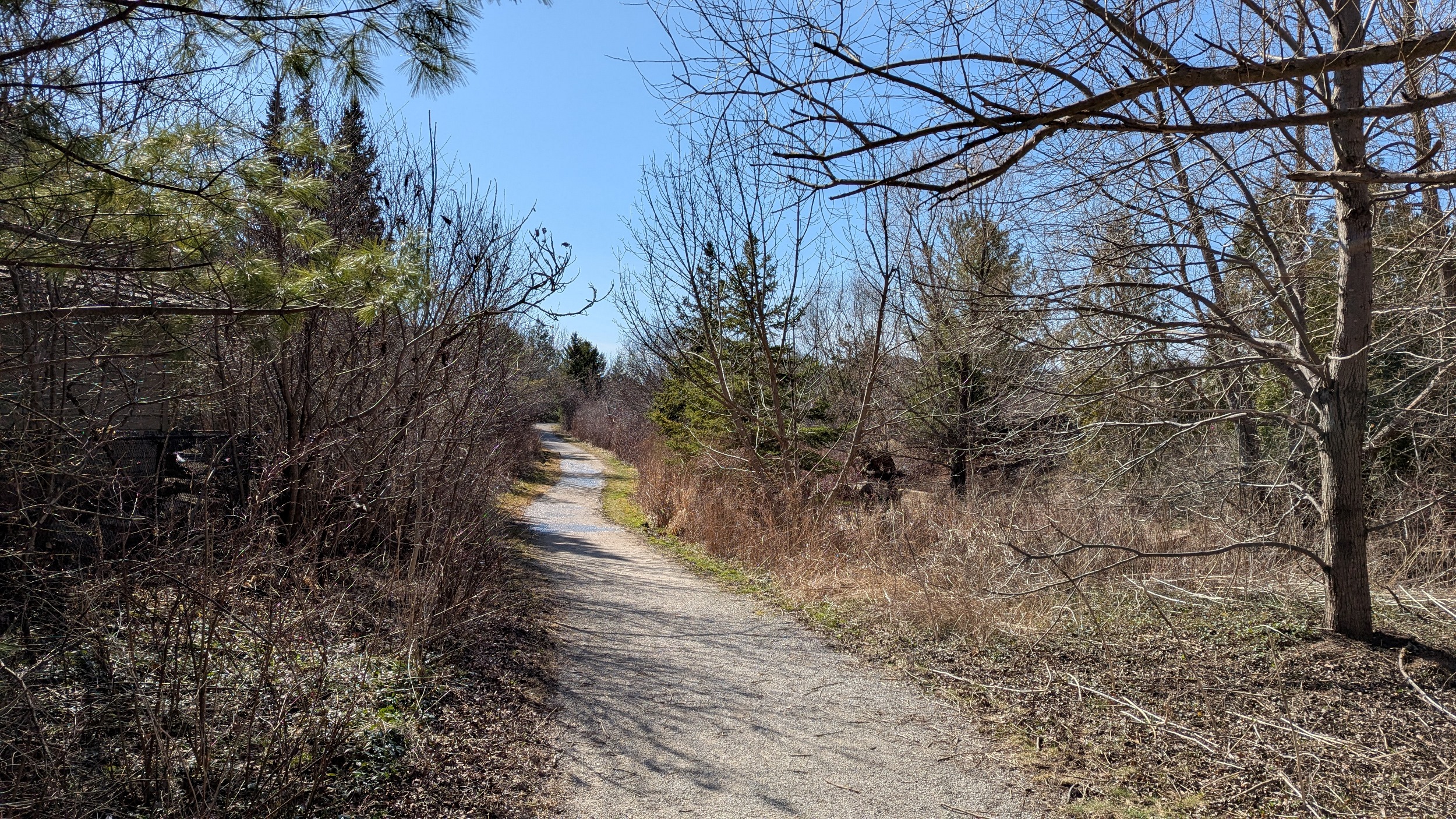
Back on track near Neyagawa Boulevard. Should be free of significant interruptions from here to Mississauga. Wide and busy trail, with ongoing connections to side ravines, schools, playgrounds and rec centres.


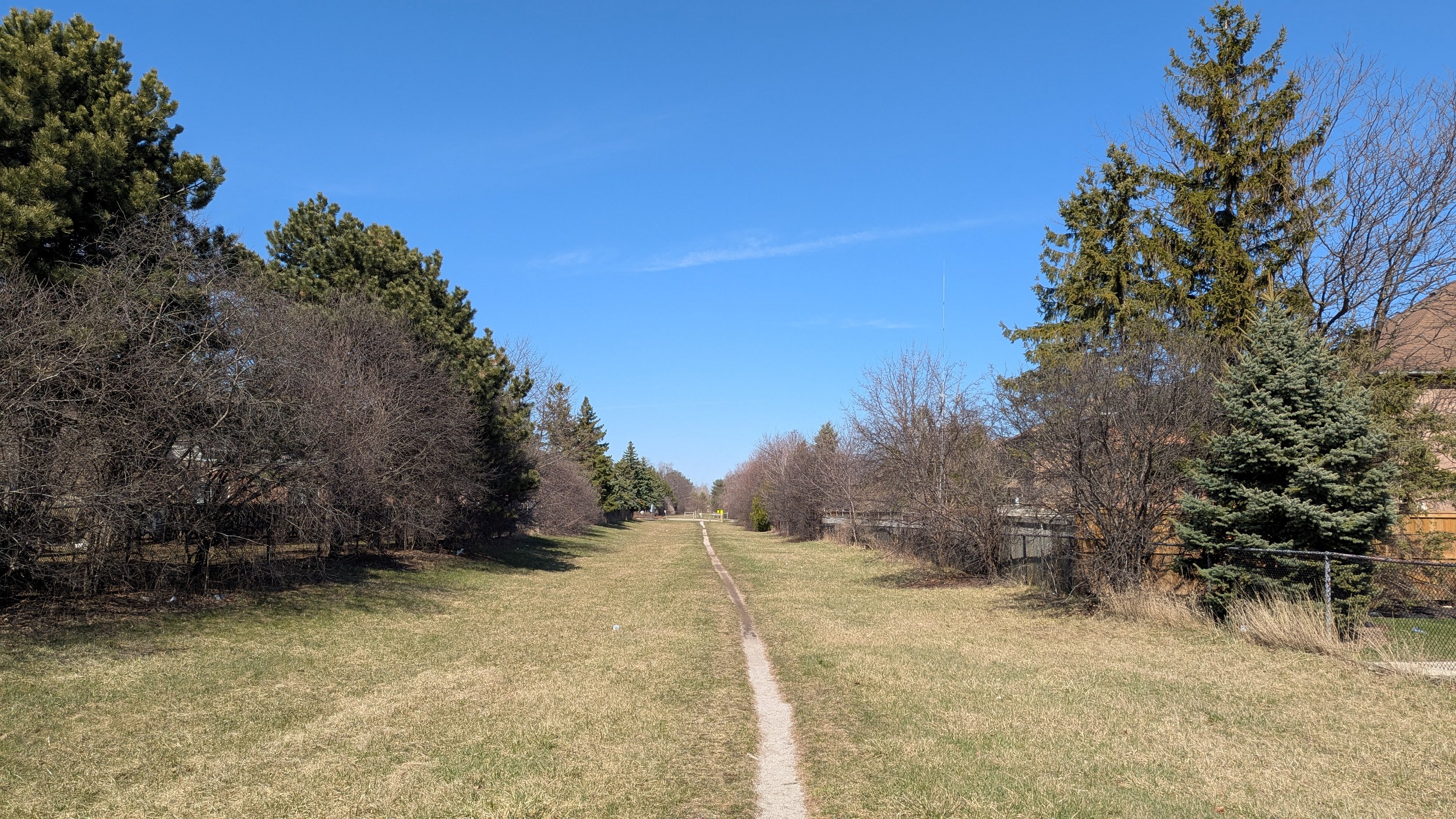
Bit of a changeup here. The corridor shifts north and parallels Glenashton Drive. Then a wild Enbridge pipeline appears. It crosses and then parallels the TransCanada corridor slightly to the north. I’m sticking south.


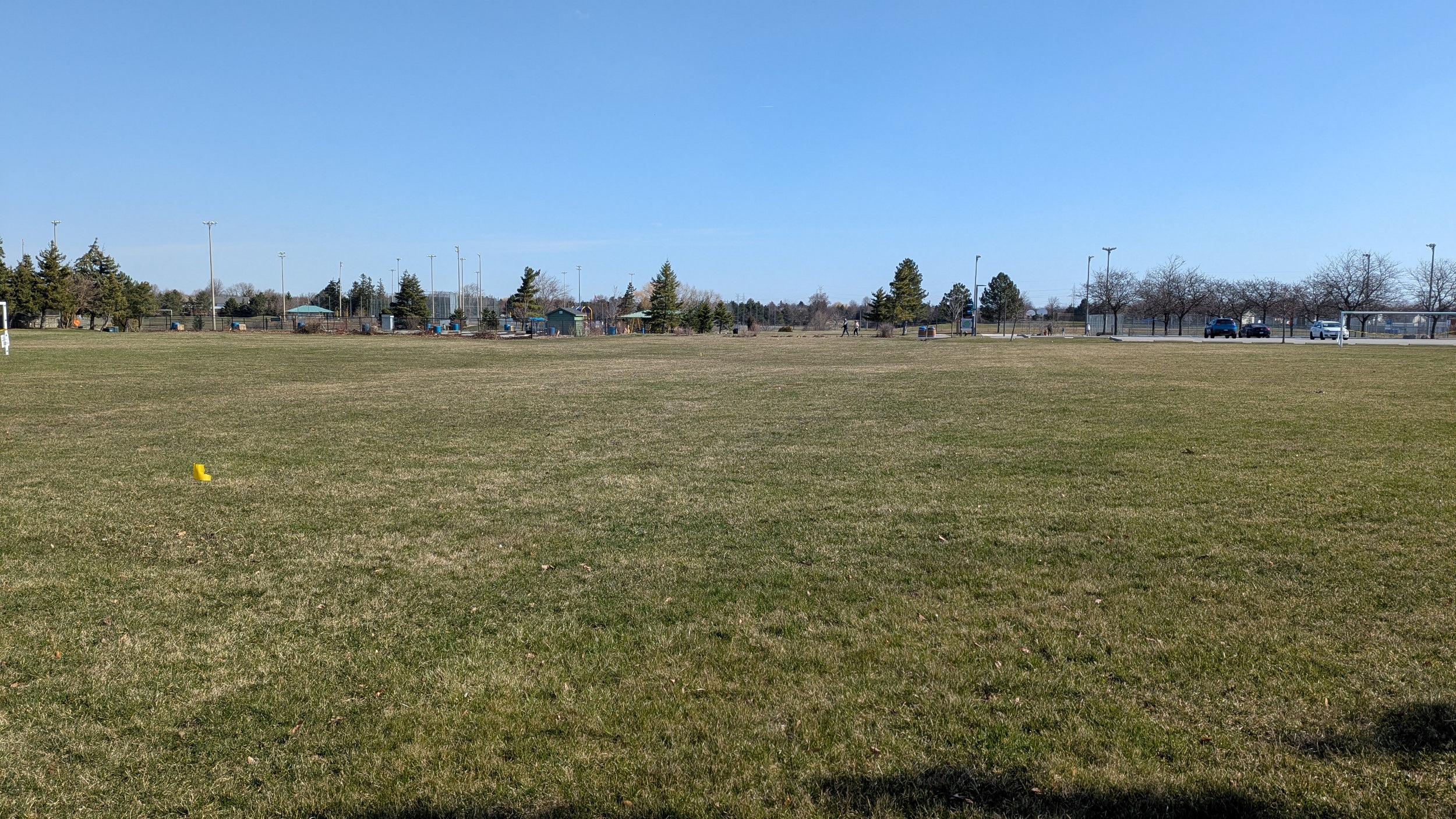
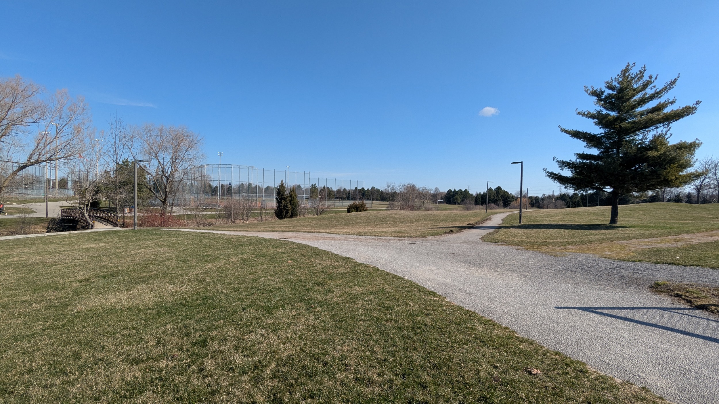
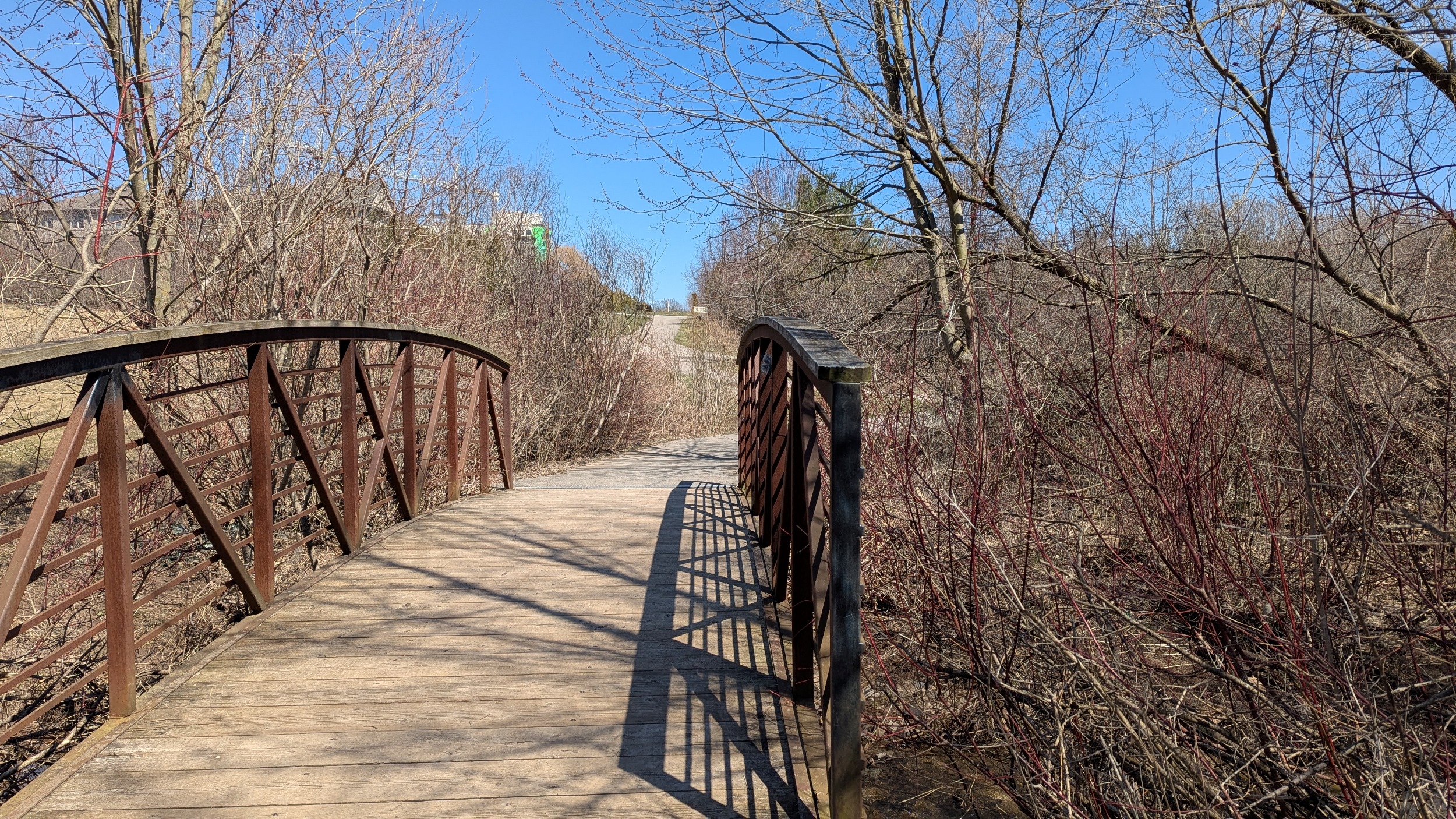
A minor detour to cross a little creek, nothing unreasonable. Then through sports and rec facilities at Glenashton Park.


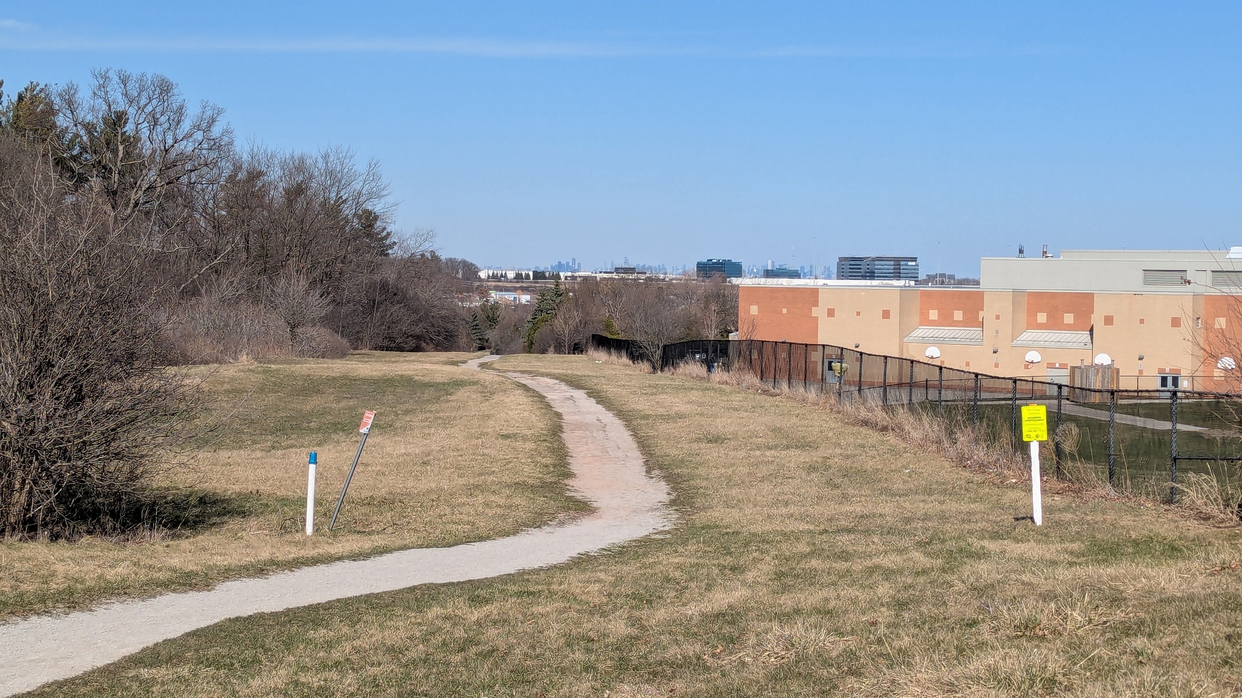
For the final stretch, the pipeline corridor takes a very, very slight bend to the south, only a few degrees. As you come over the ridge, the skylines of Mississauga’s city centre and downtown Toronto come into view. The bottom of the Joshua Creek valley marks the end of today’s pursuit.


Date: April 13, 2025
Length: 30.7 km
Type: Utility


