Good morning from the Hamilton – Burlington border. Today I will be following the Oakville subdivision, known to most as the route of the GO Transit Lakeshore West line. I’ll be heading east. Let’s go.

Well, I’m off to a bit of a rough start, thanks to the significant snowfall. The Grindstone Marsh Trail was fairly beaten down, but the path to Snake Road wasn’t. Quick glimpse over the tracks, and then a bit of a detour.


This jaunt along rural roads was not part of the plan. But at least it’s a nice winter day.


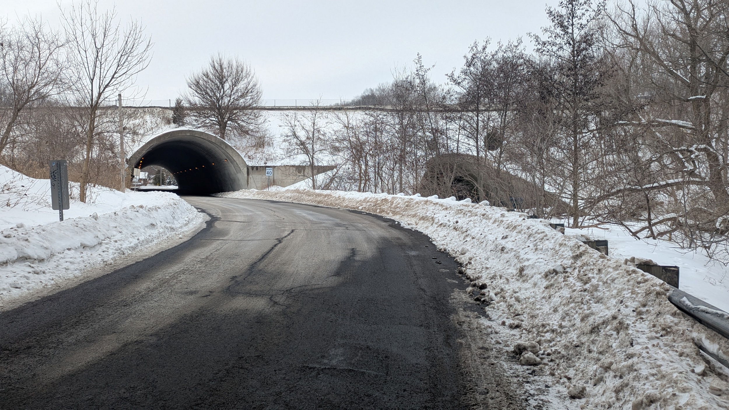
The long detour ends at Lemonville Road, where you get a good glimpse of where the tracks parallel Highway 403. A peek at the bridge and highway tunnel at Hidden Valley Road, and then onwards to Waterdown Road.


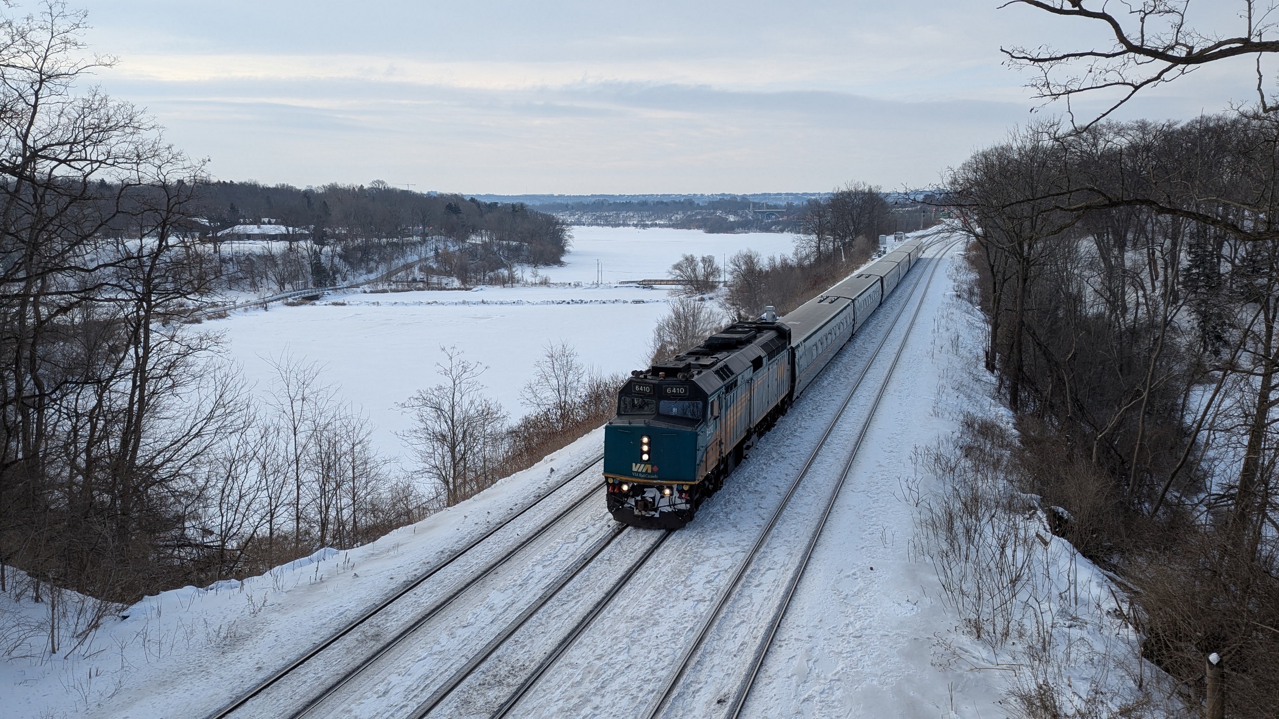
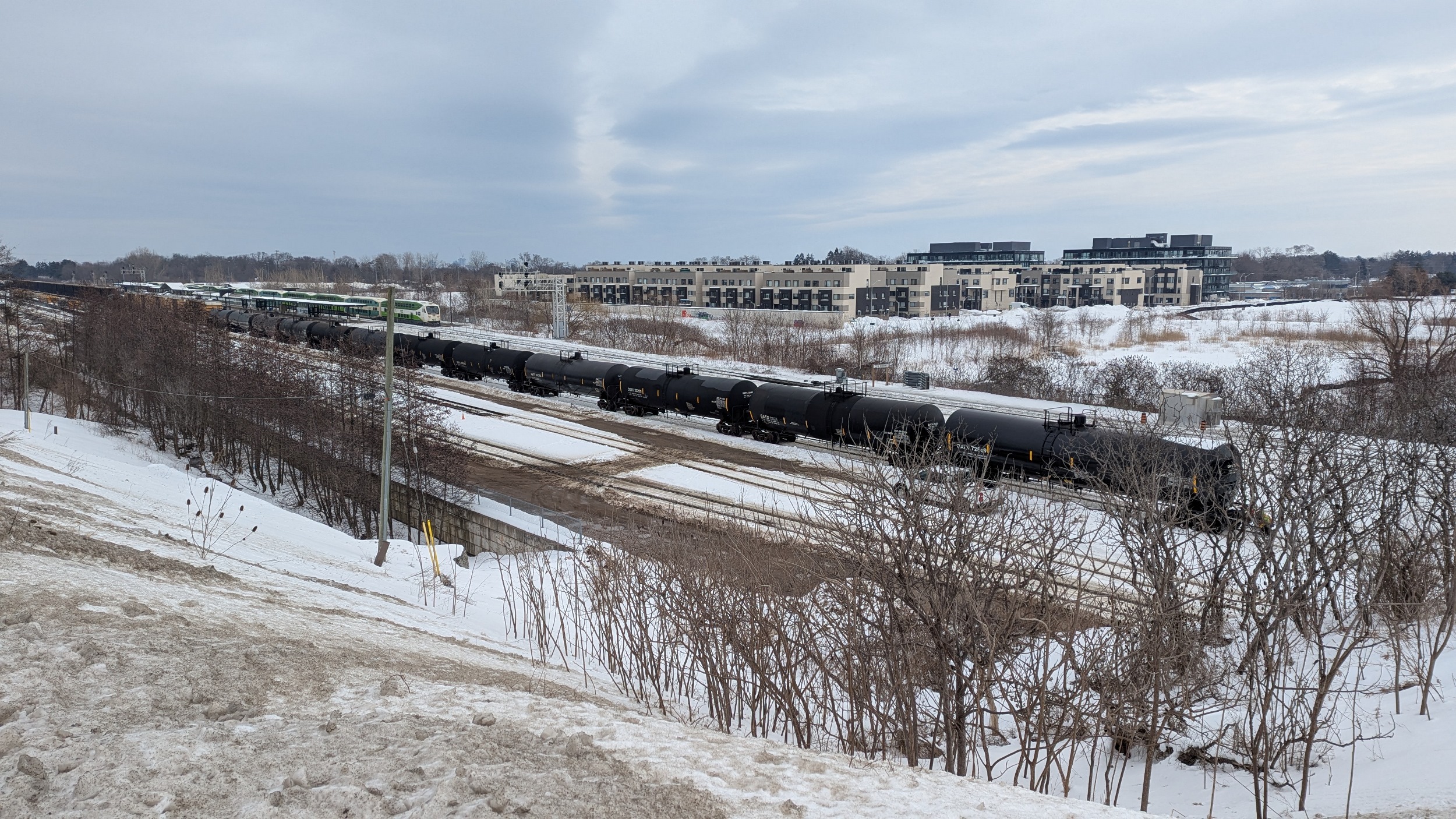
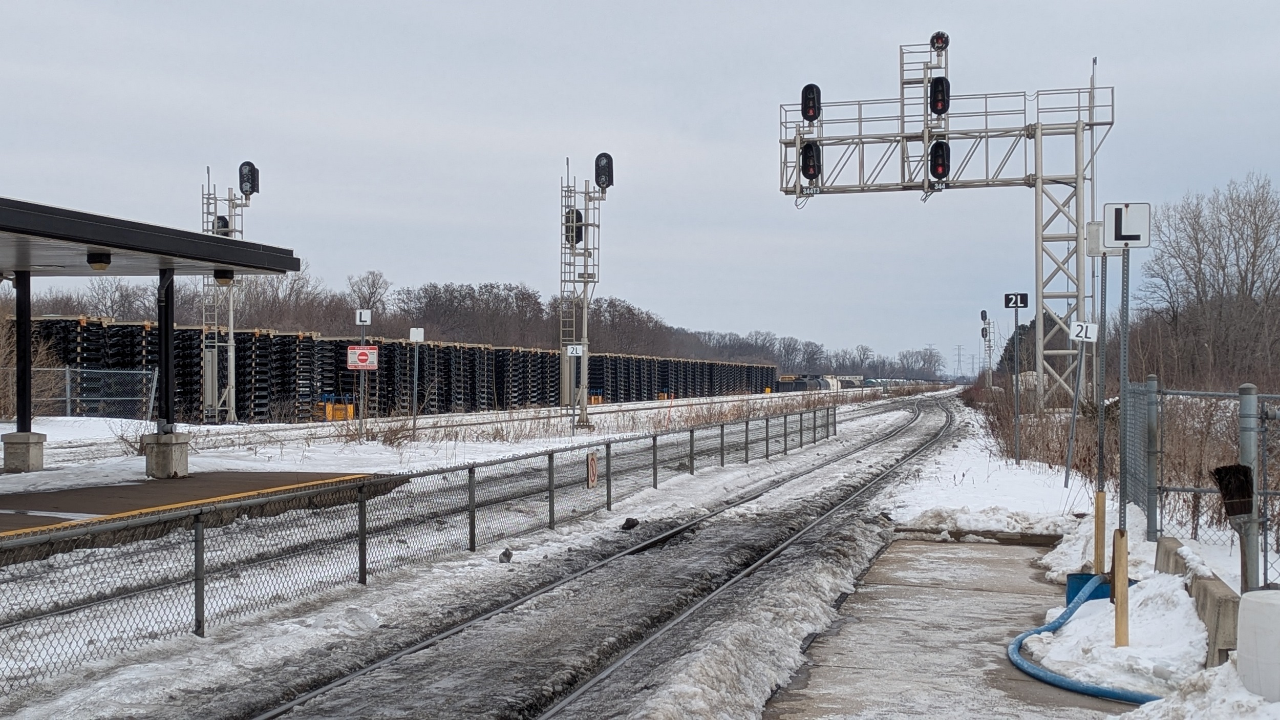
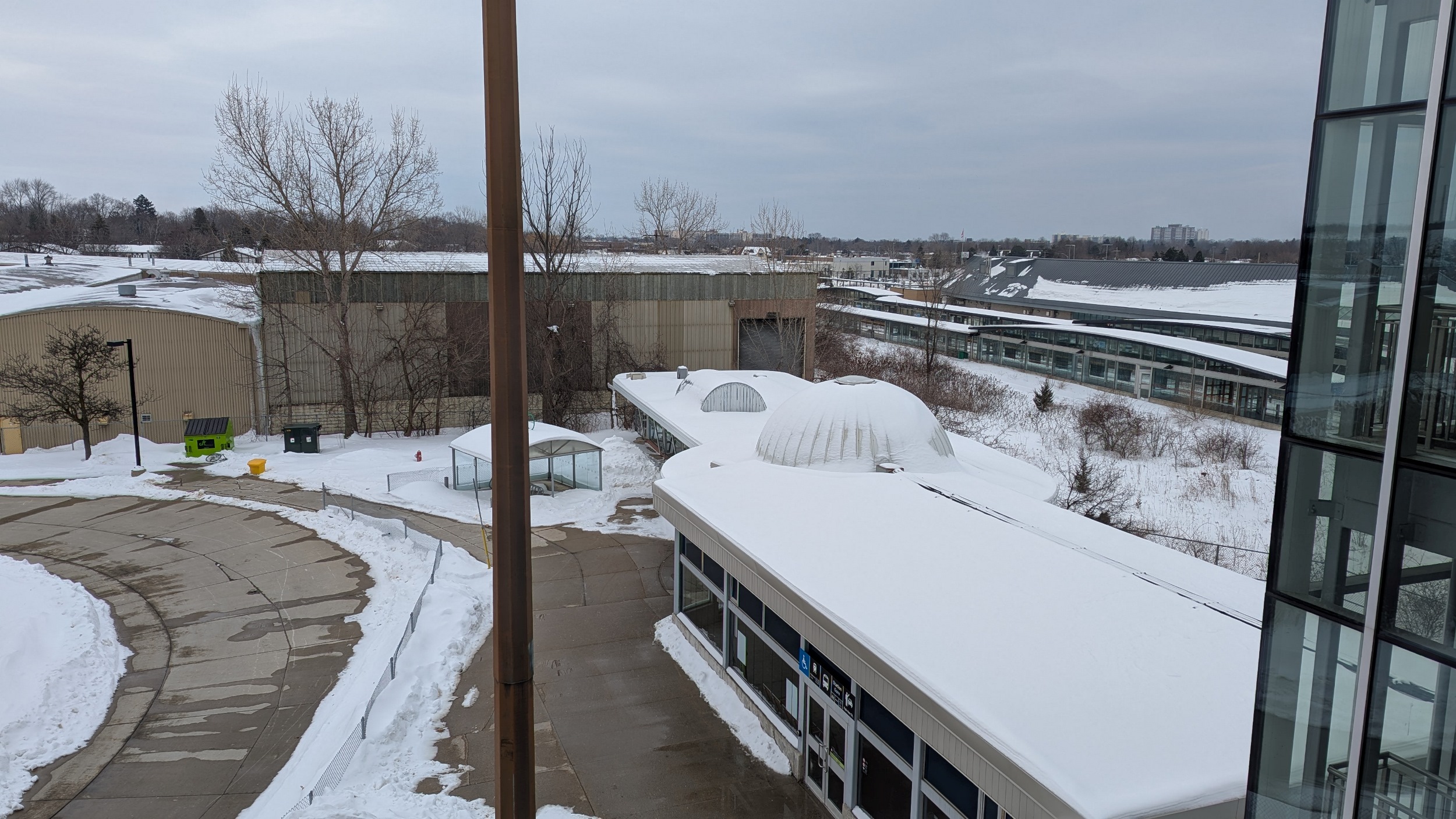
Over the tracks again and through Aldershot Station. This is not only a transfer hub between GO and VIA trains, but it’s also a freight yard for Canadian National (CN). And until a while ago, it was also desolate. Some housing is now in the vicinity, but the area has a long way to go.


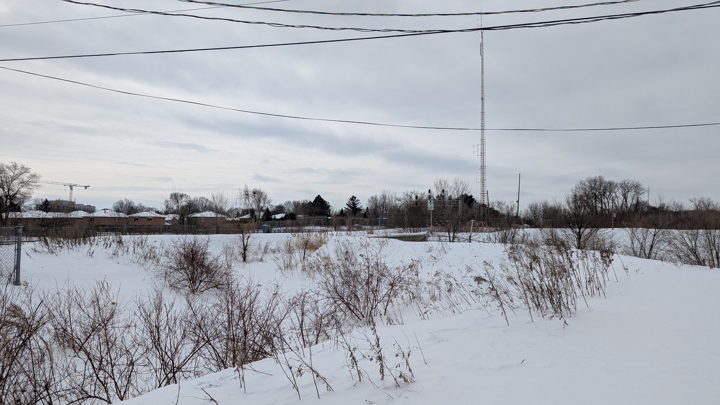
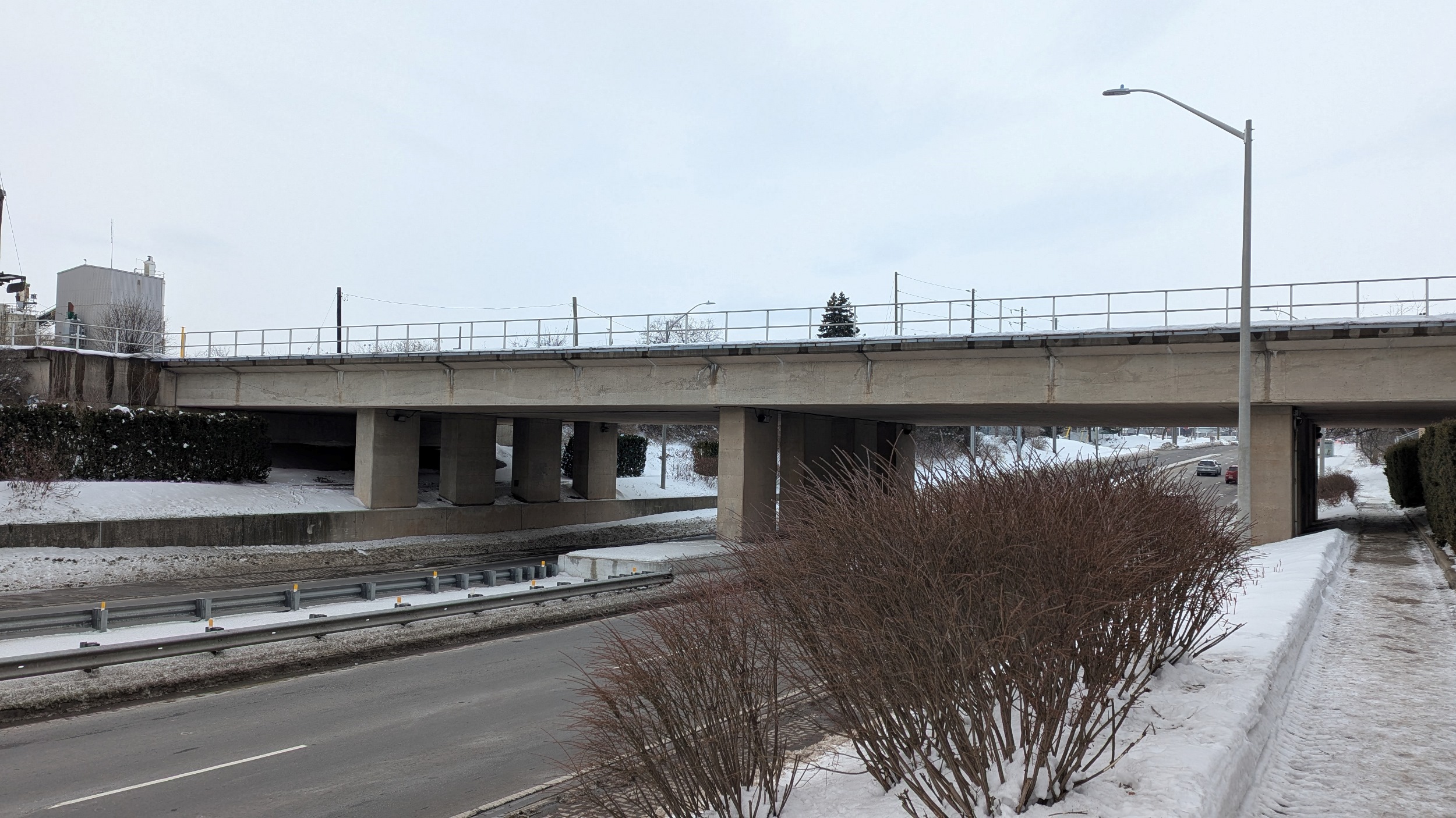
After a long boring hike along Plains Road again, you get to King Road. This is notable for not only having an overpass for the tracks, but a creek as well. Yes, a creek bridge over a road. My pic doesn’t show much because of the snow, but believe me, it’s there.

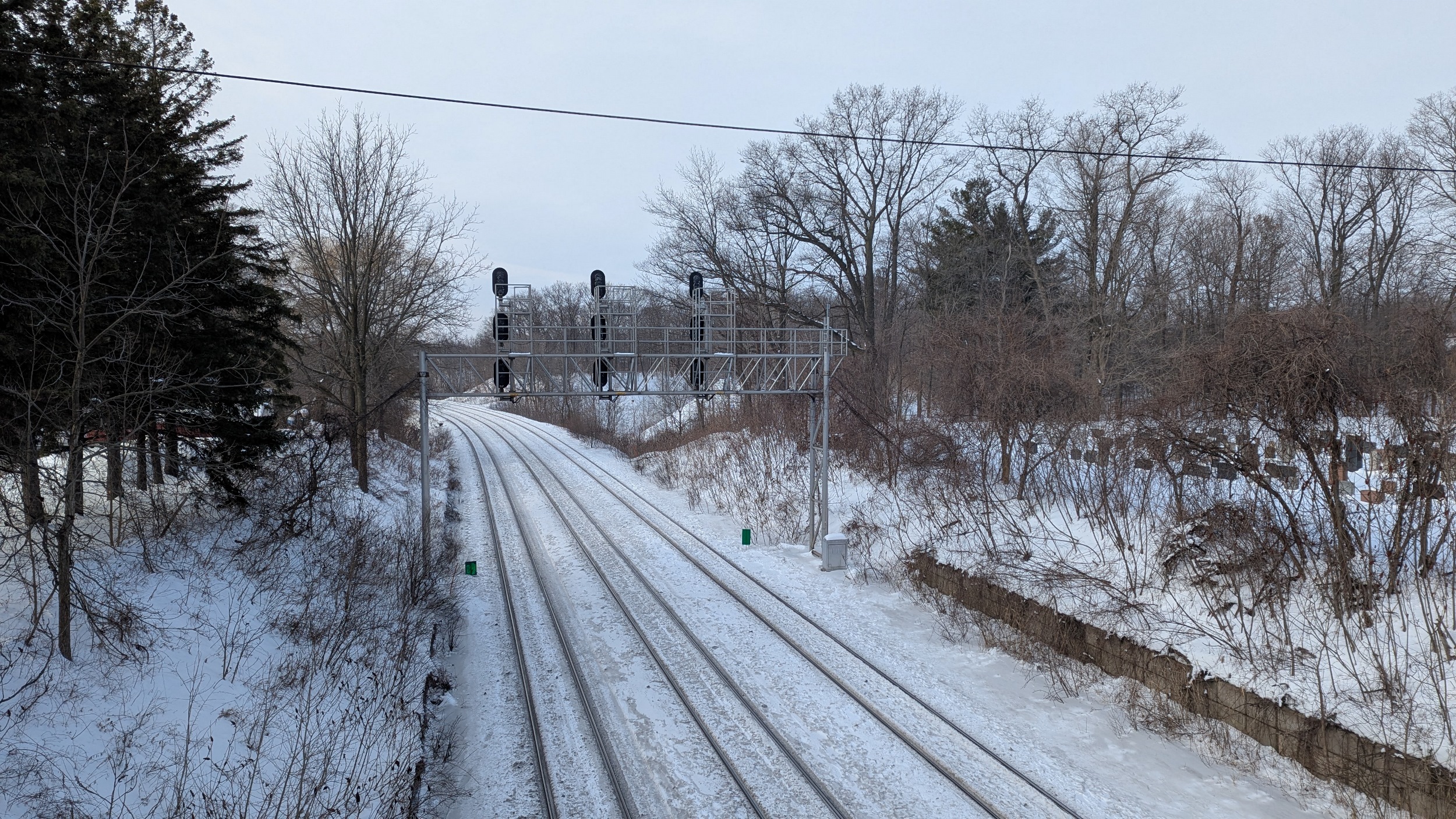
Under a bridge with piers dating back to 1936. Then under a junction at Brant Street, where the Oakville subdivision continues east, and the Halton subdivision bends northeast, taking CN trains with it. A tail track goes south towards the Burlington Skyway, but those tracks were ripped up years ago.


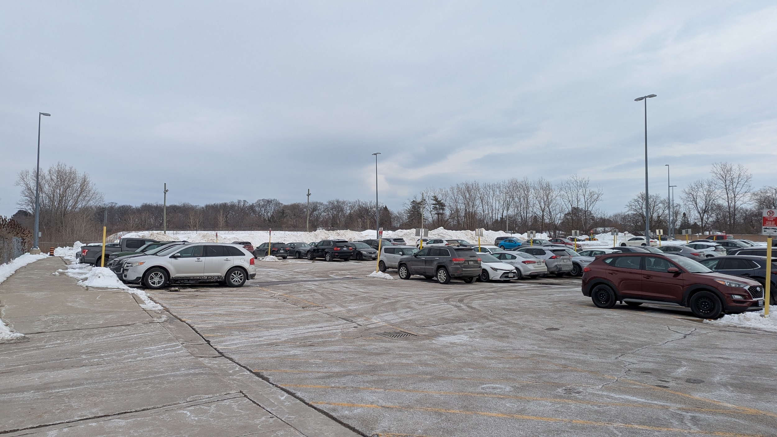
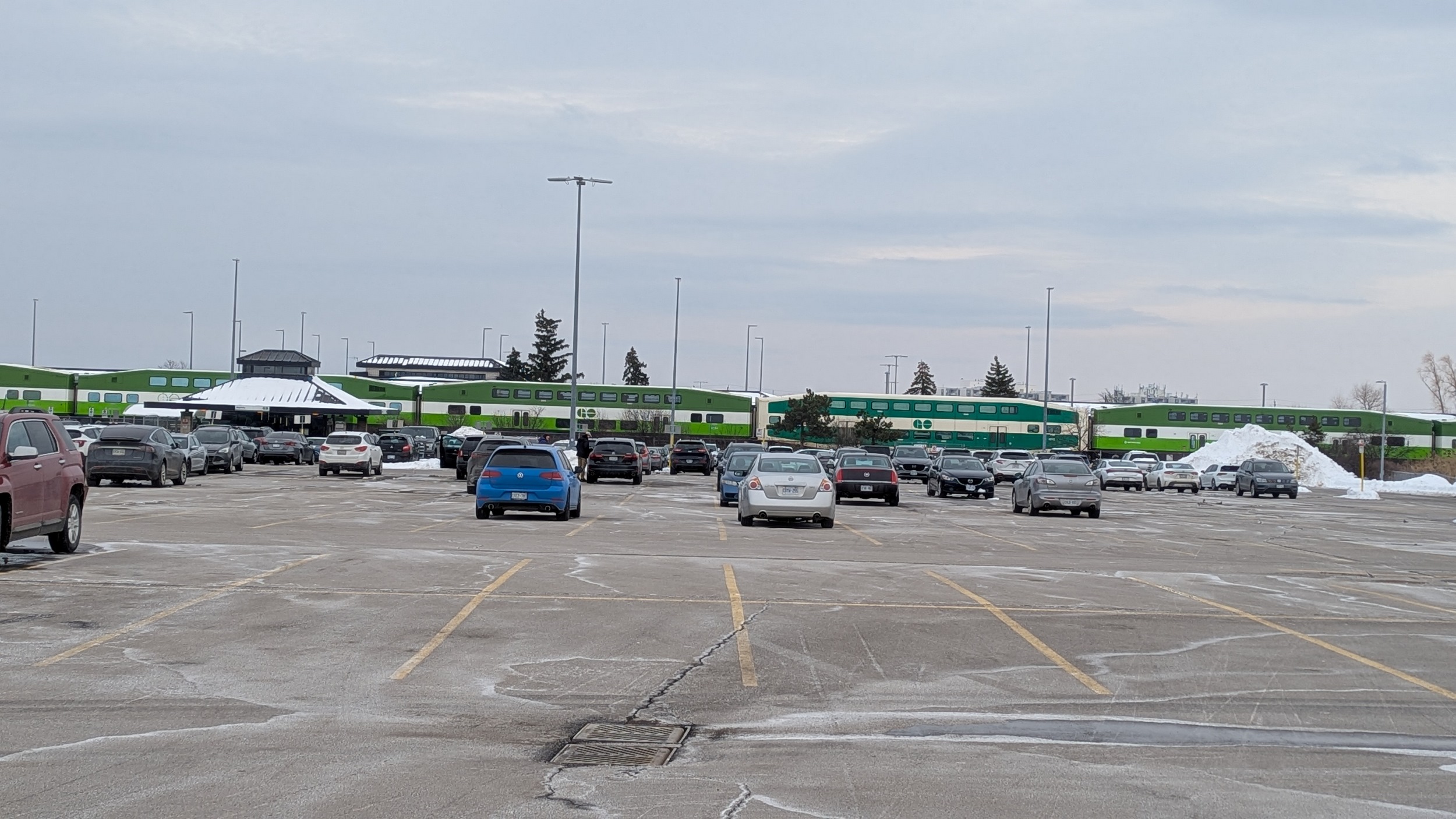
Burlington GO Station. Fairly large bus terminal, fairly large transit-oriented development. This is a transfer point for Niagara-bound buses too.


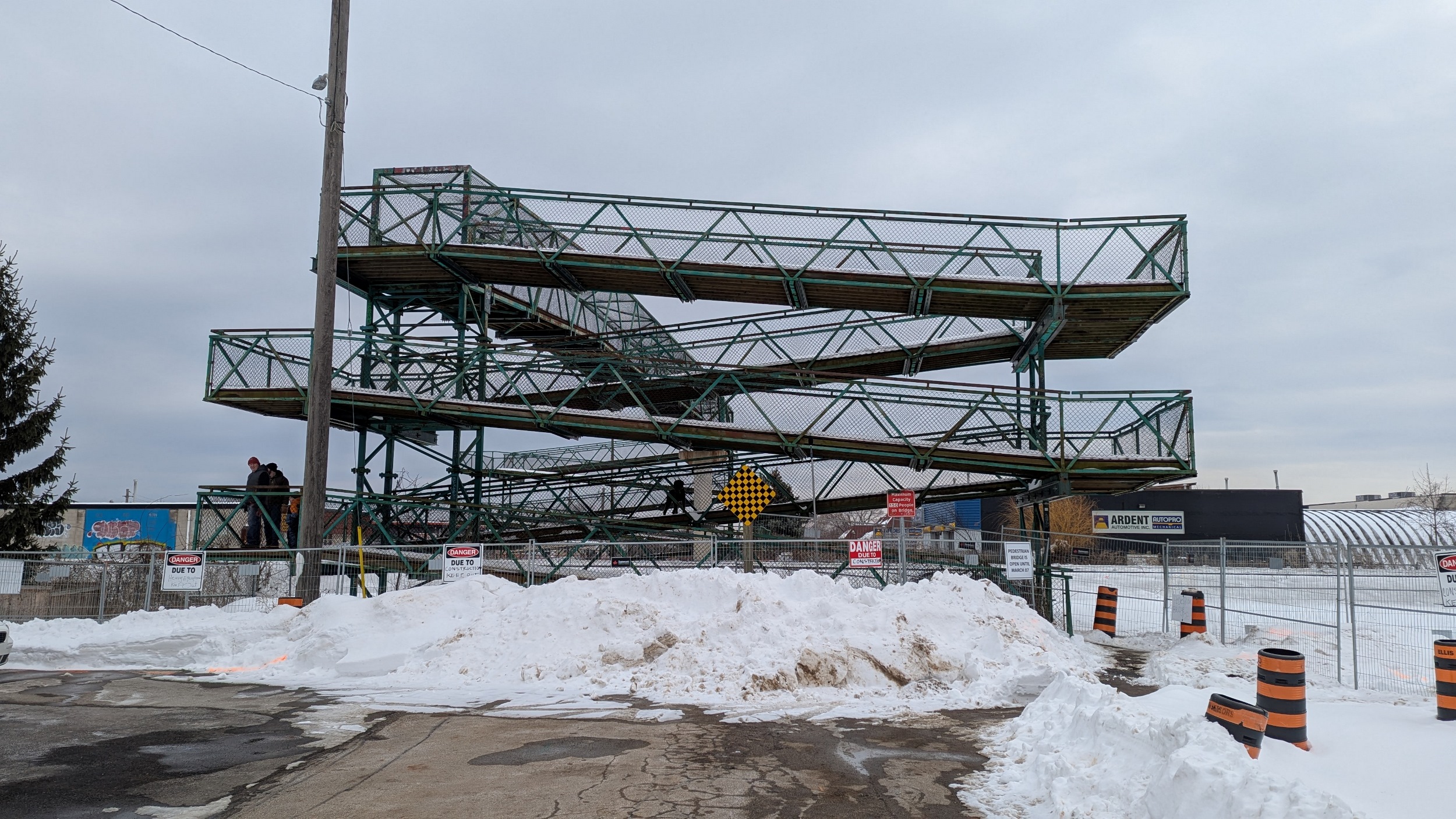
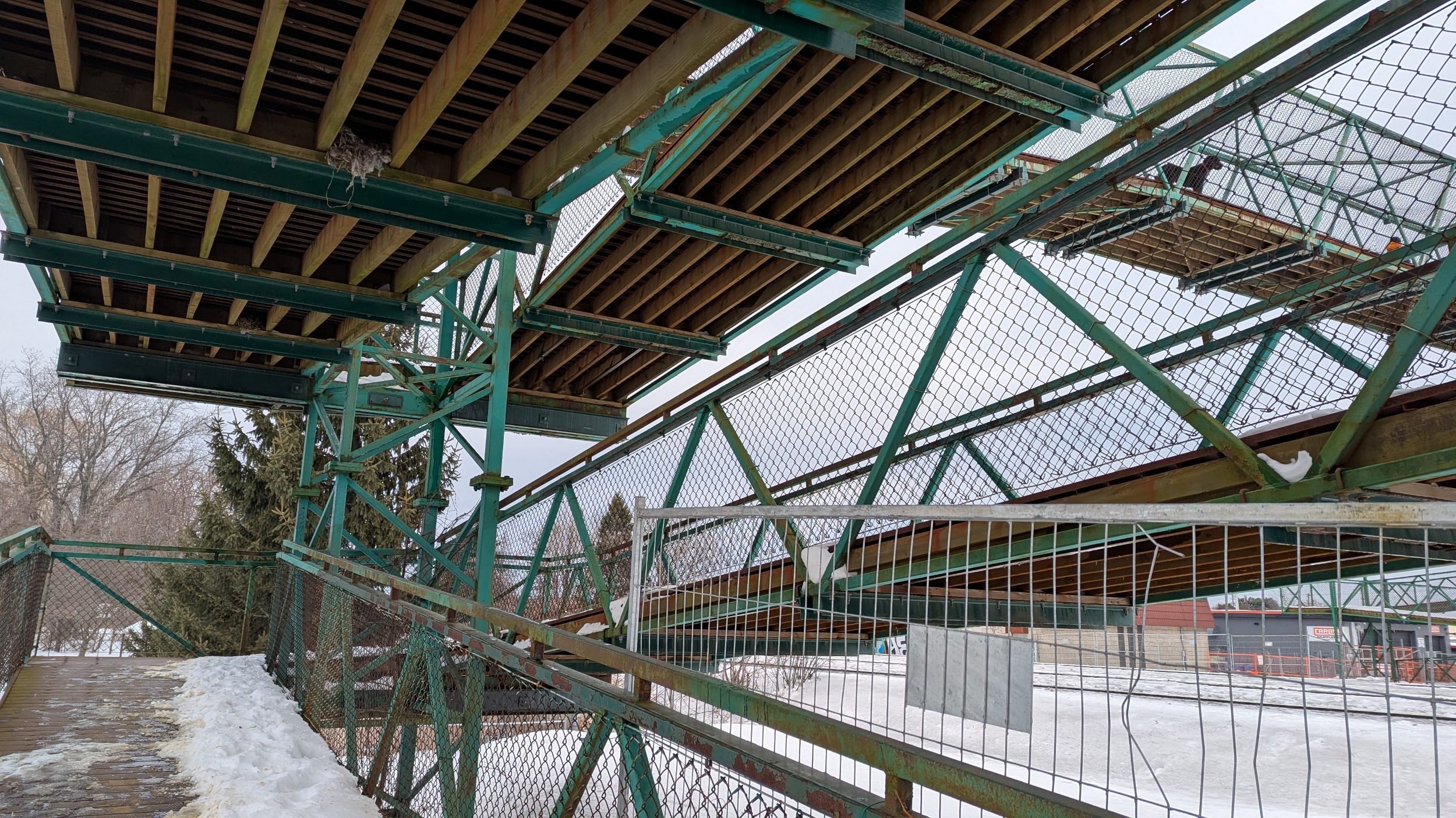
Between Orpha Street and Drury Lane, there’s a pedestrian bridge with a lot of switchbacks to get up and down. This was my main reason for prioritizing this walk today, because it’s slated to be closed on March 7. Plans are to replace it with something similar.

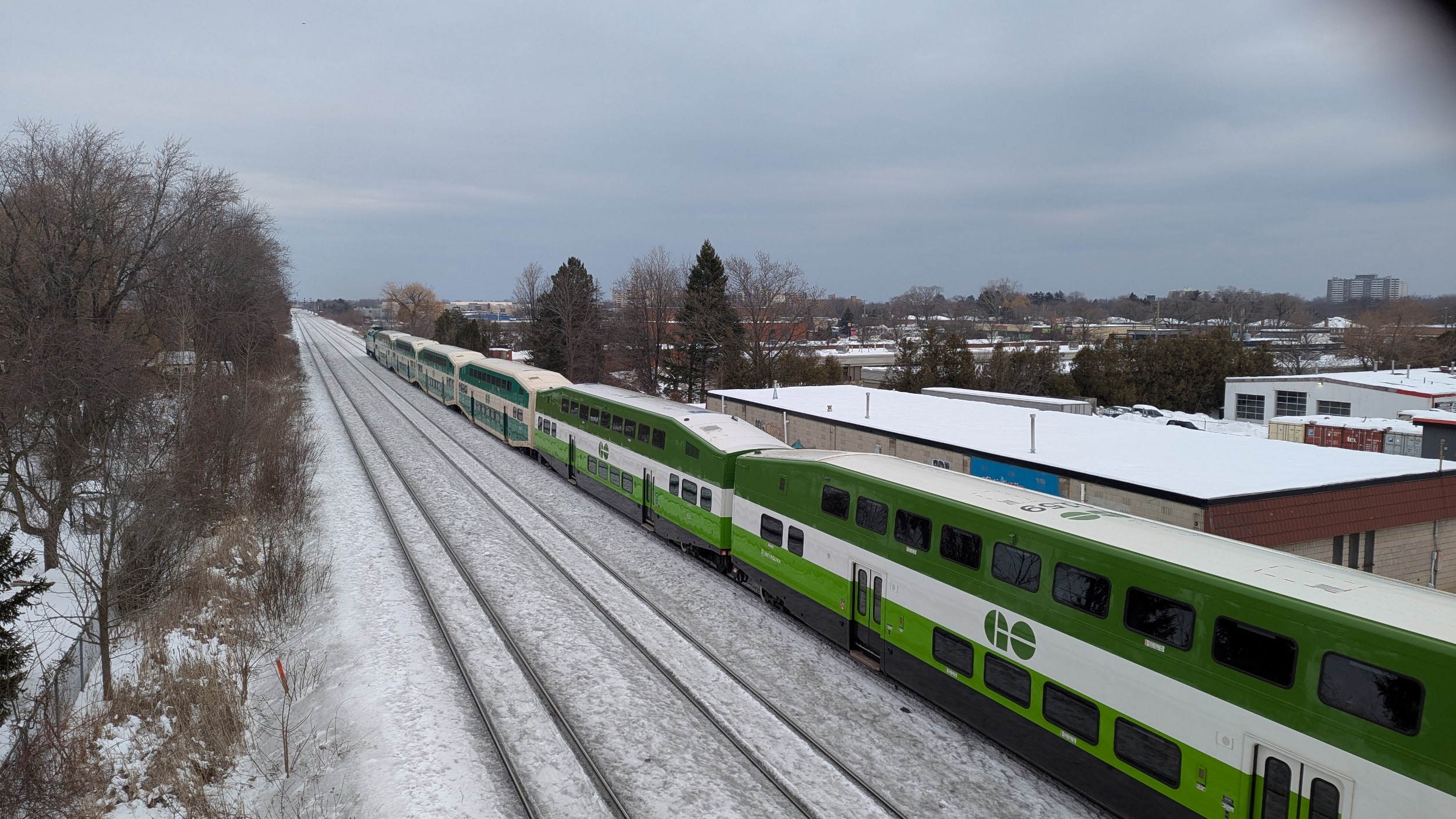

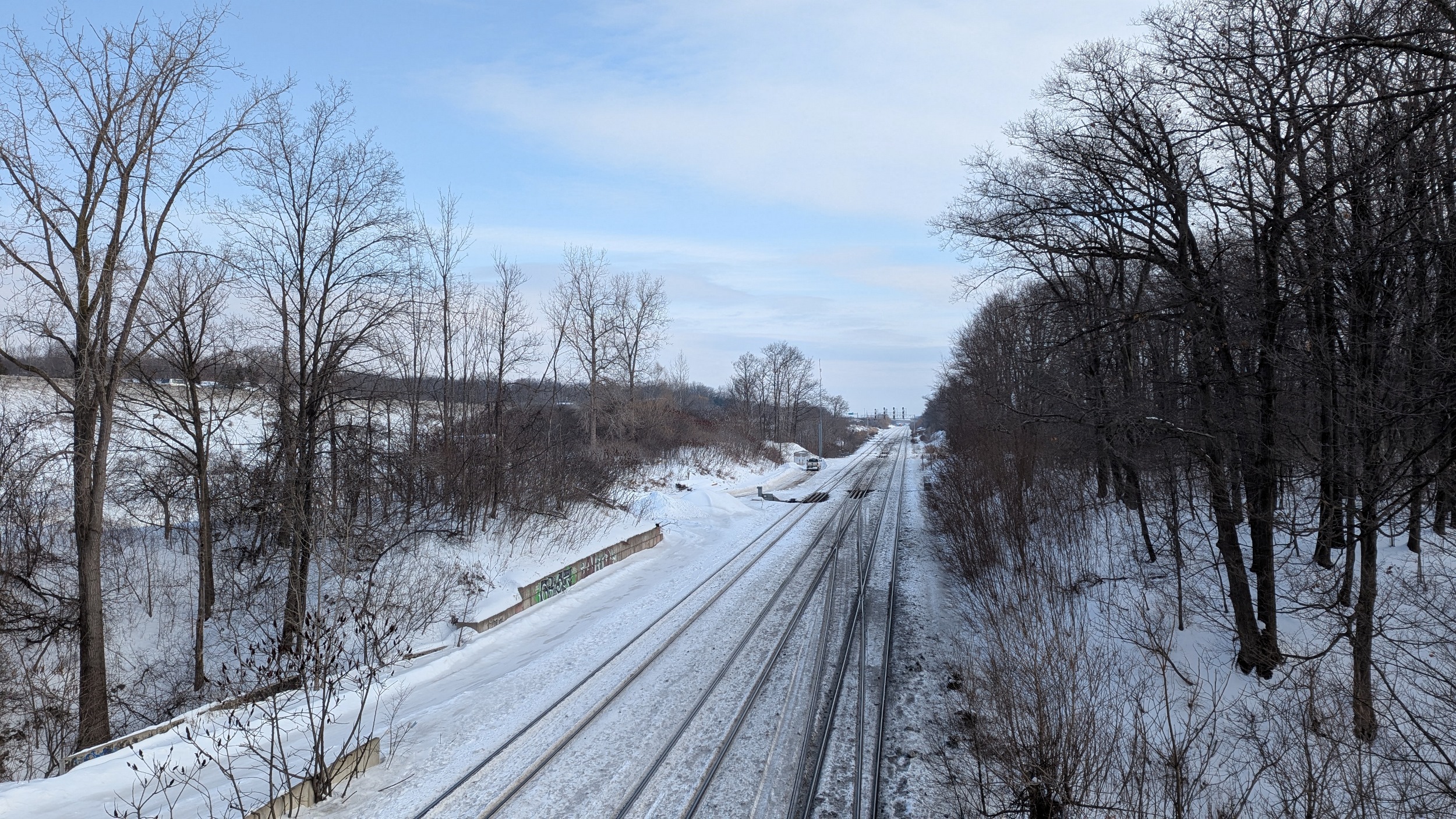
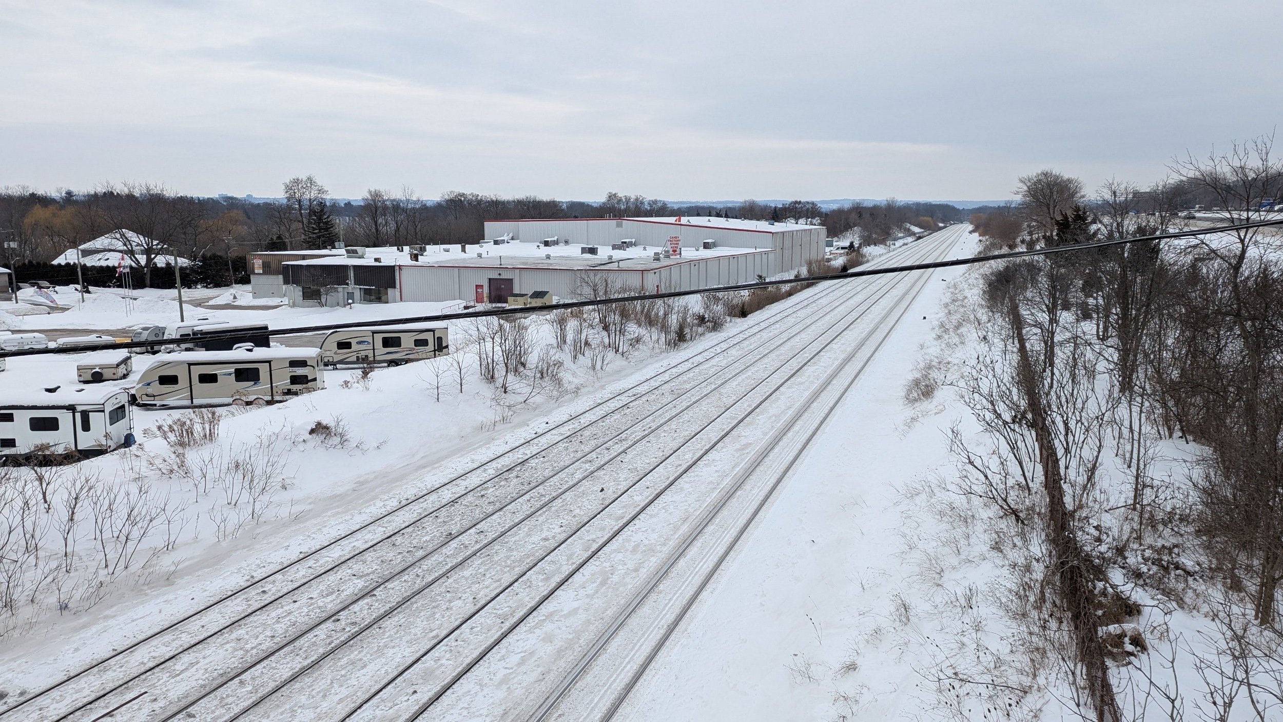
Not much to see over the next 5 kilometres. A crossing at Guelph Line, and then it’s directly adjacent to Fairview Street for a bit. The switch lights look like the originals from 60+ years ago. Another crossing at Walker’s Line, and another at Appleby.


Final stop is Appleby GO Station; this is where I’m ending my walk today.

Date: February 23, 2025
Length: 24.4 km
Type: Railway


