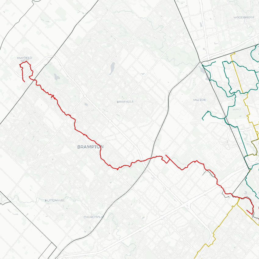
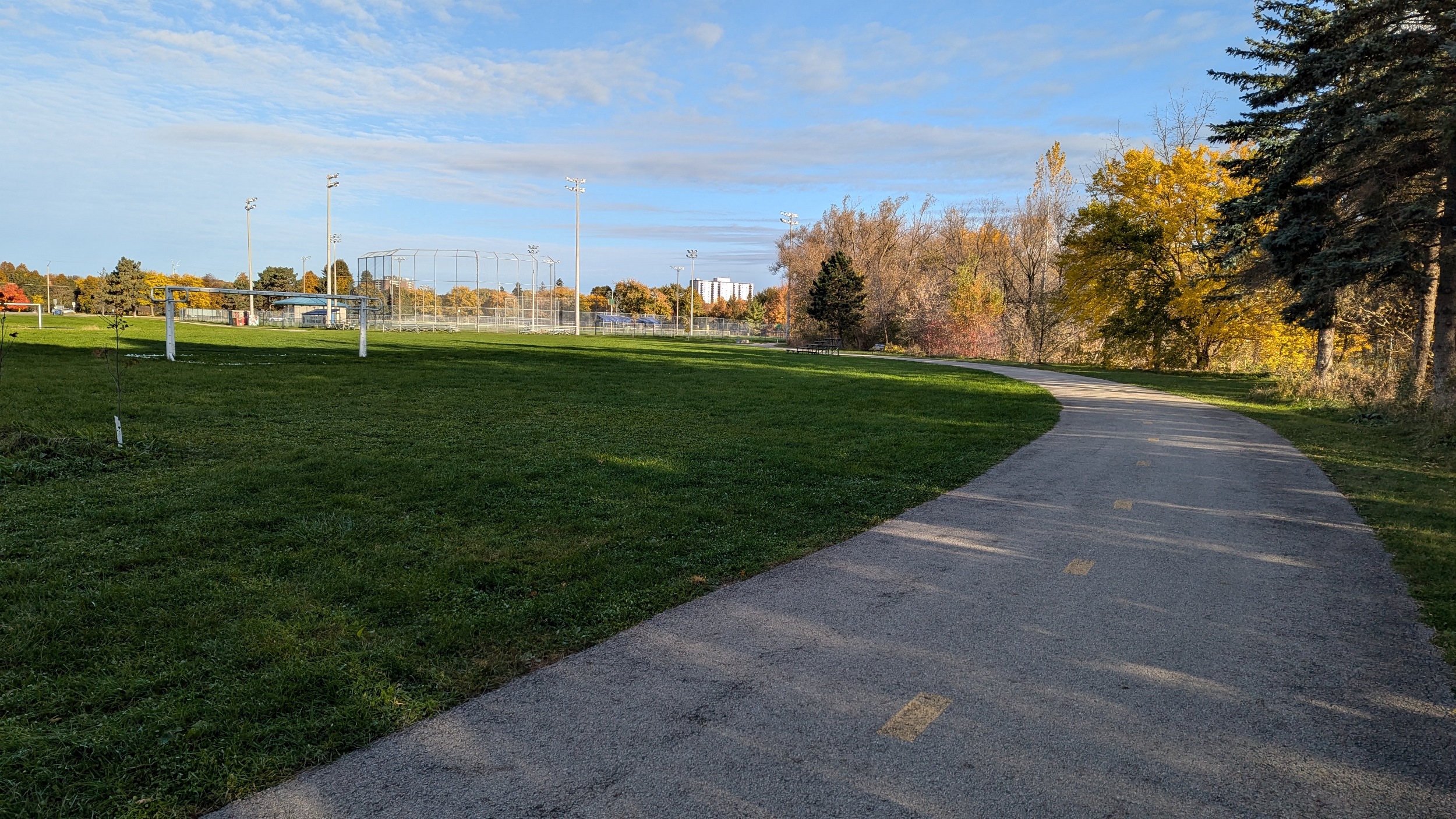
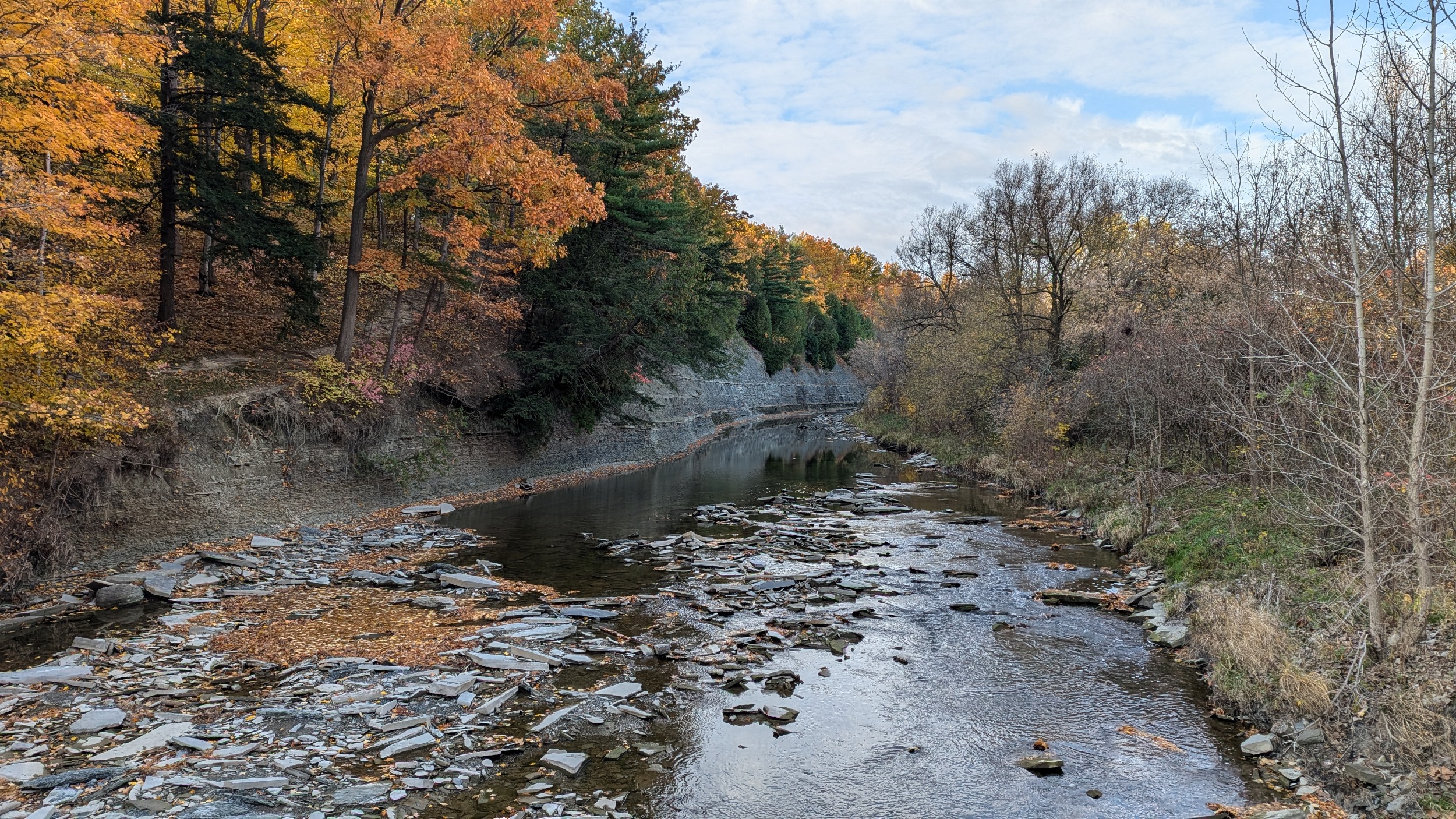
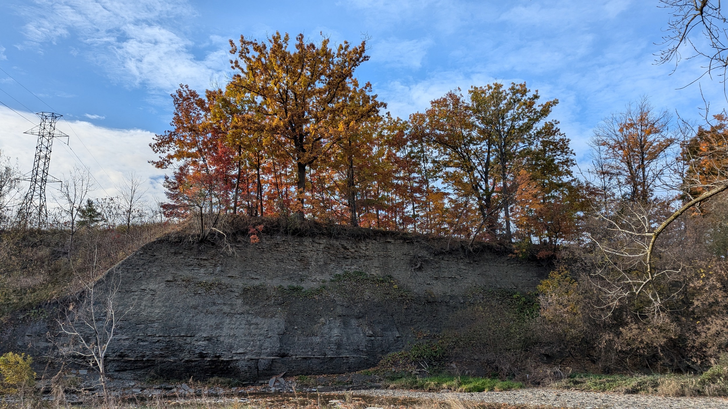
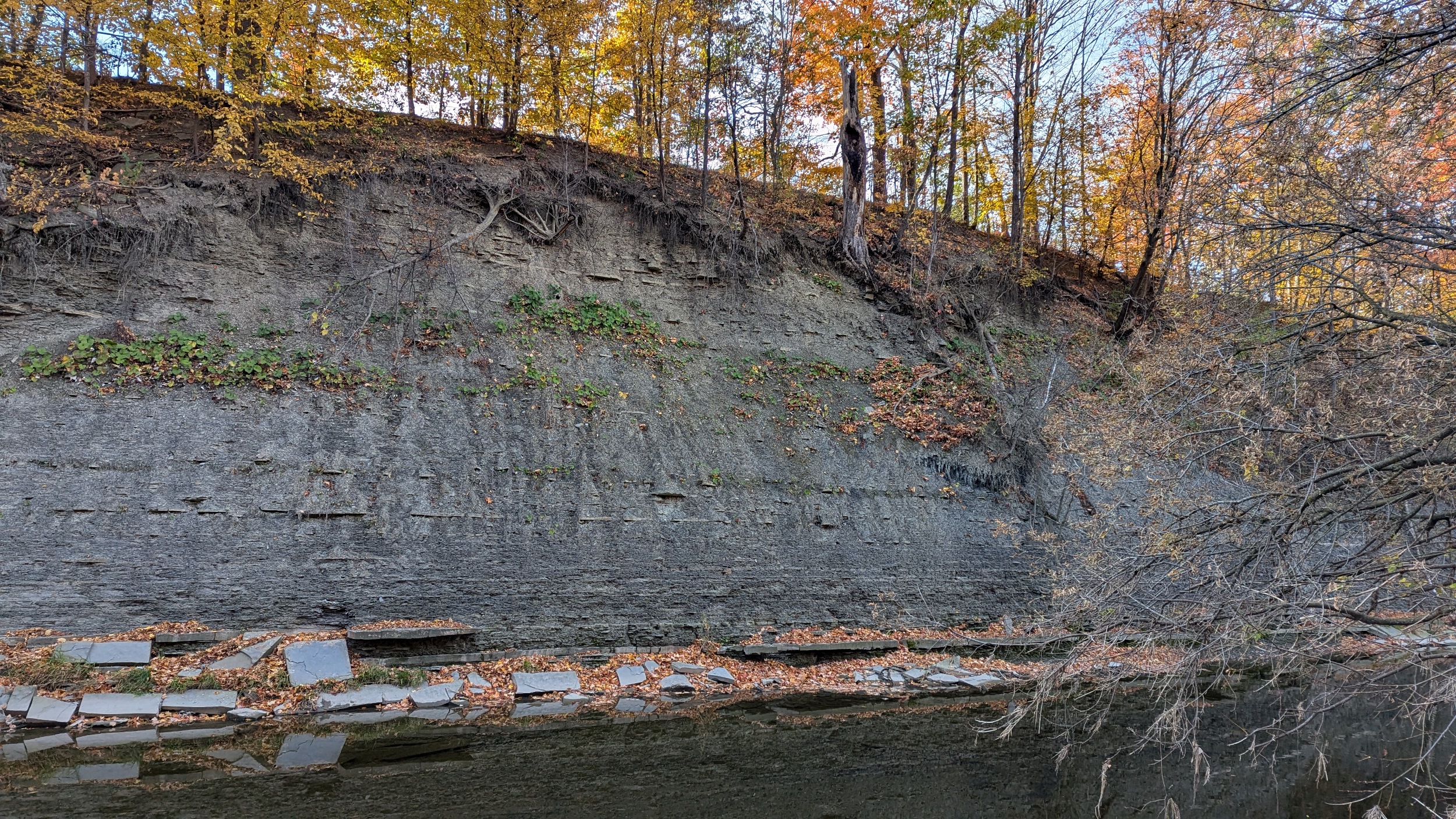
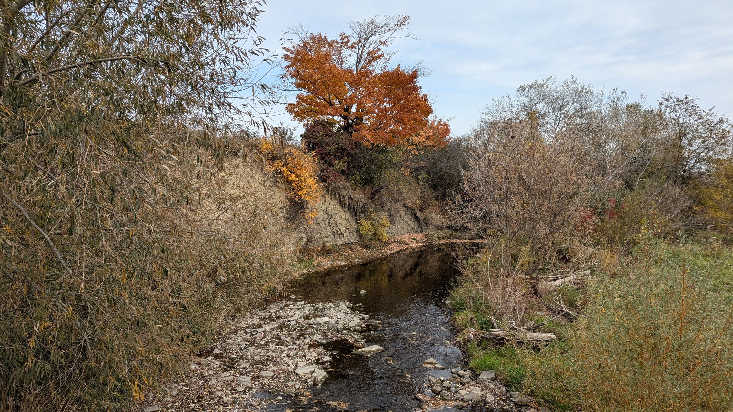
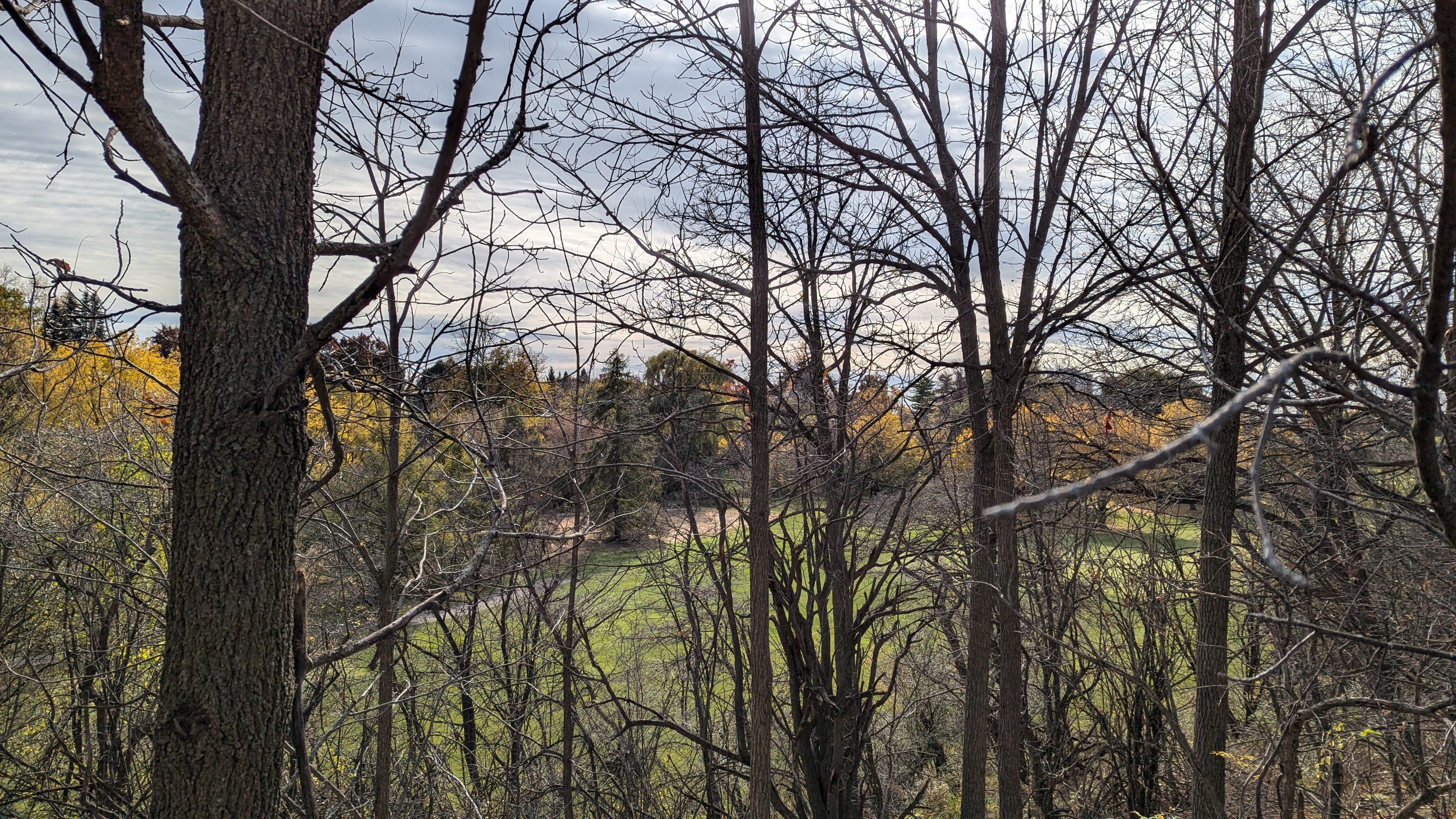
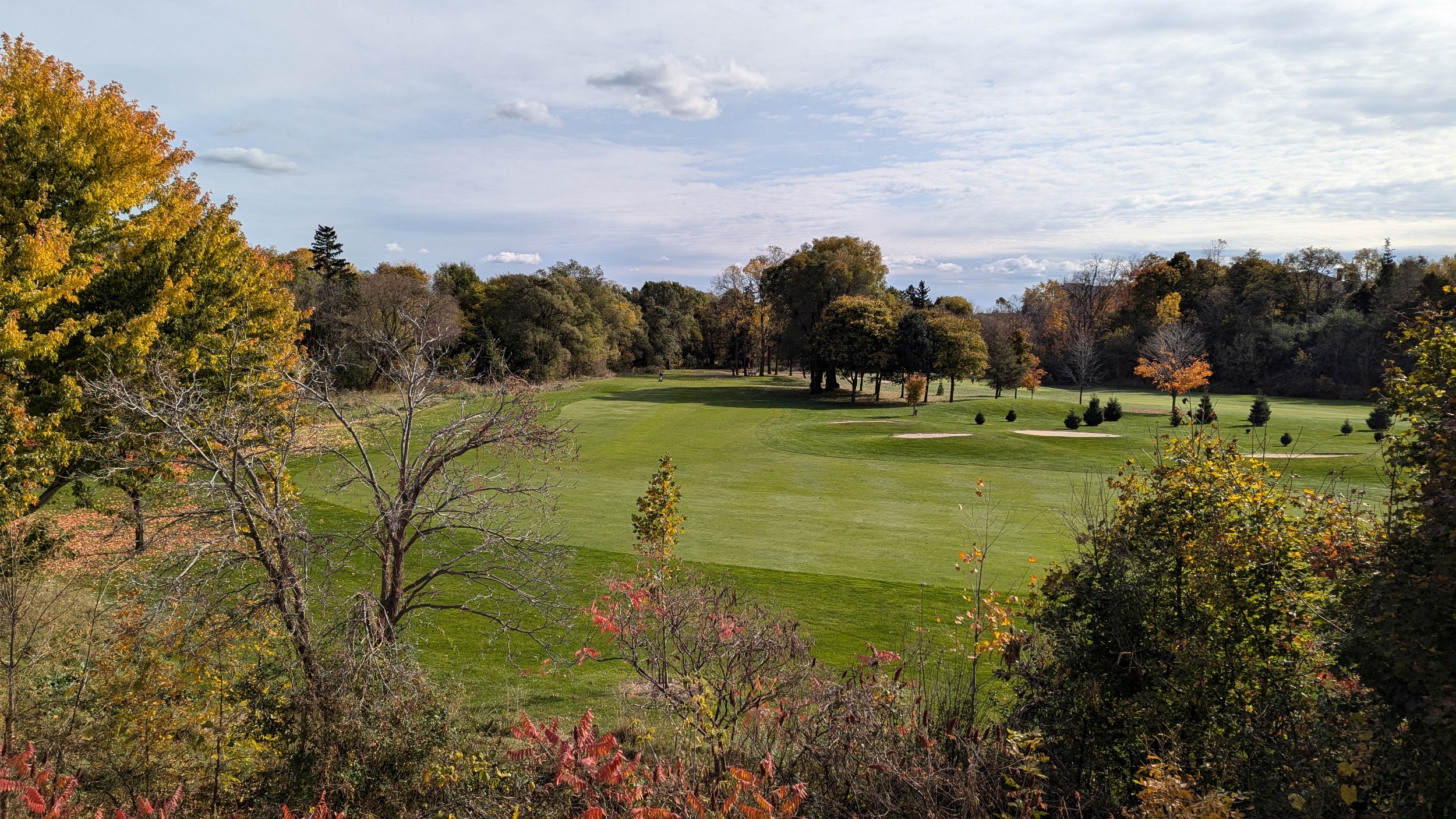
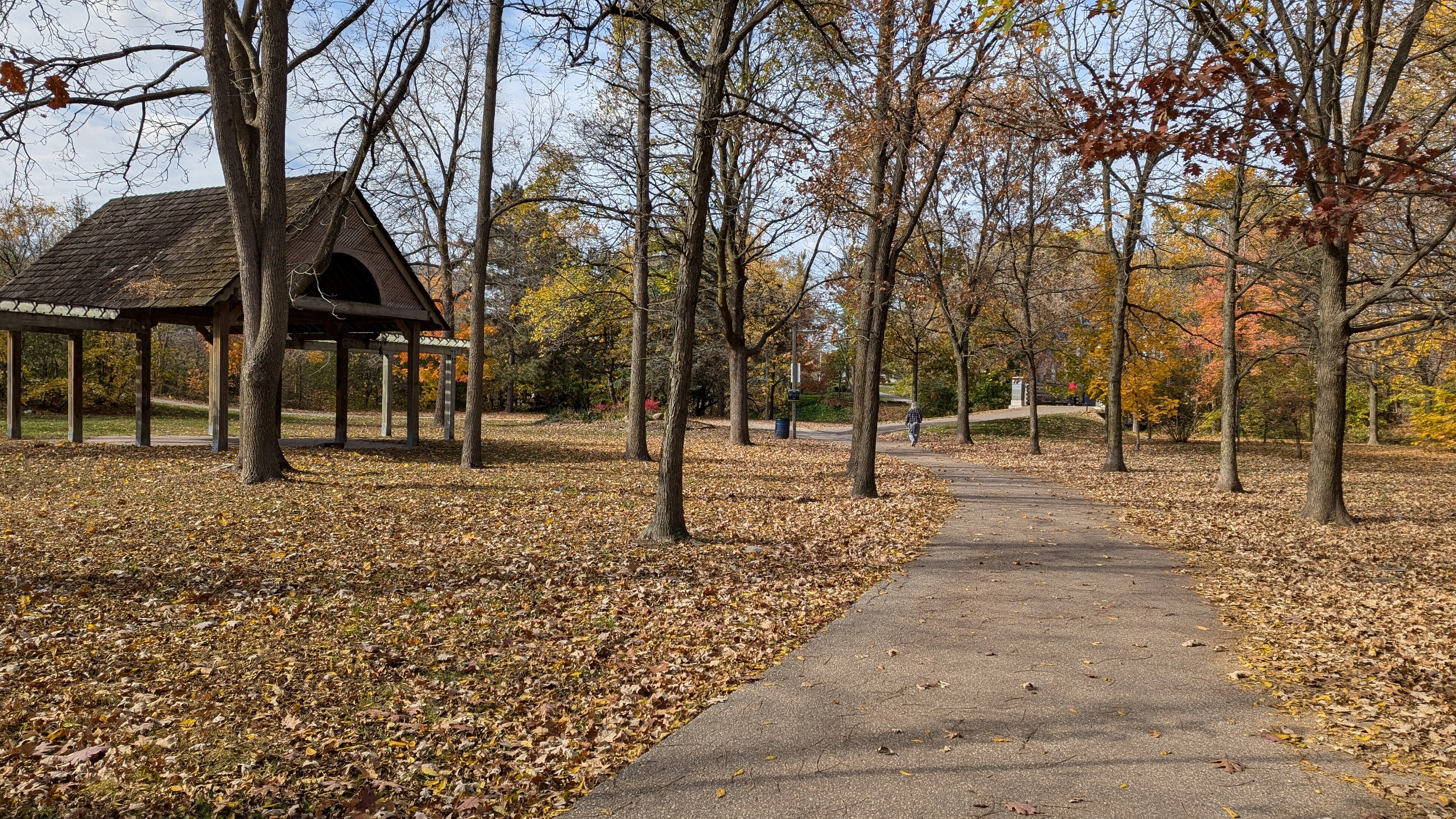
Good morning from east Mississauga. Today I’ll be following Etobicoke Creek, from the Markland Wood Golf Club, north to the top of Brampton. I’m starting from the golf course as it is a significant gap in the Etobicoke Creek trail, spanning the valley from Burnhamthorpe almost to Dundas. But the trail is fairly comprehensive north of here. You even get a good look at the shale outcrop that the creek has eaten into.
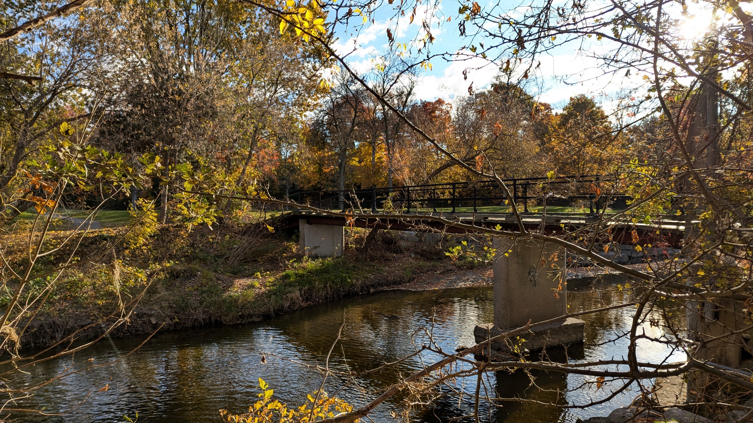
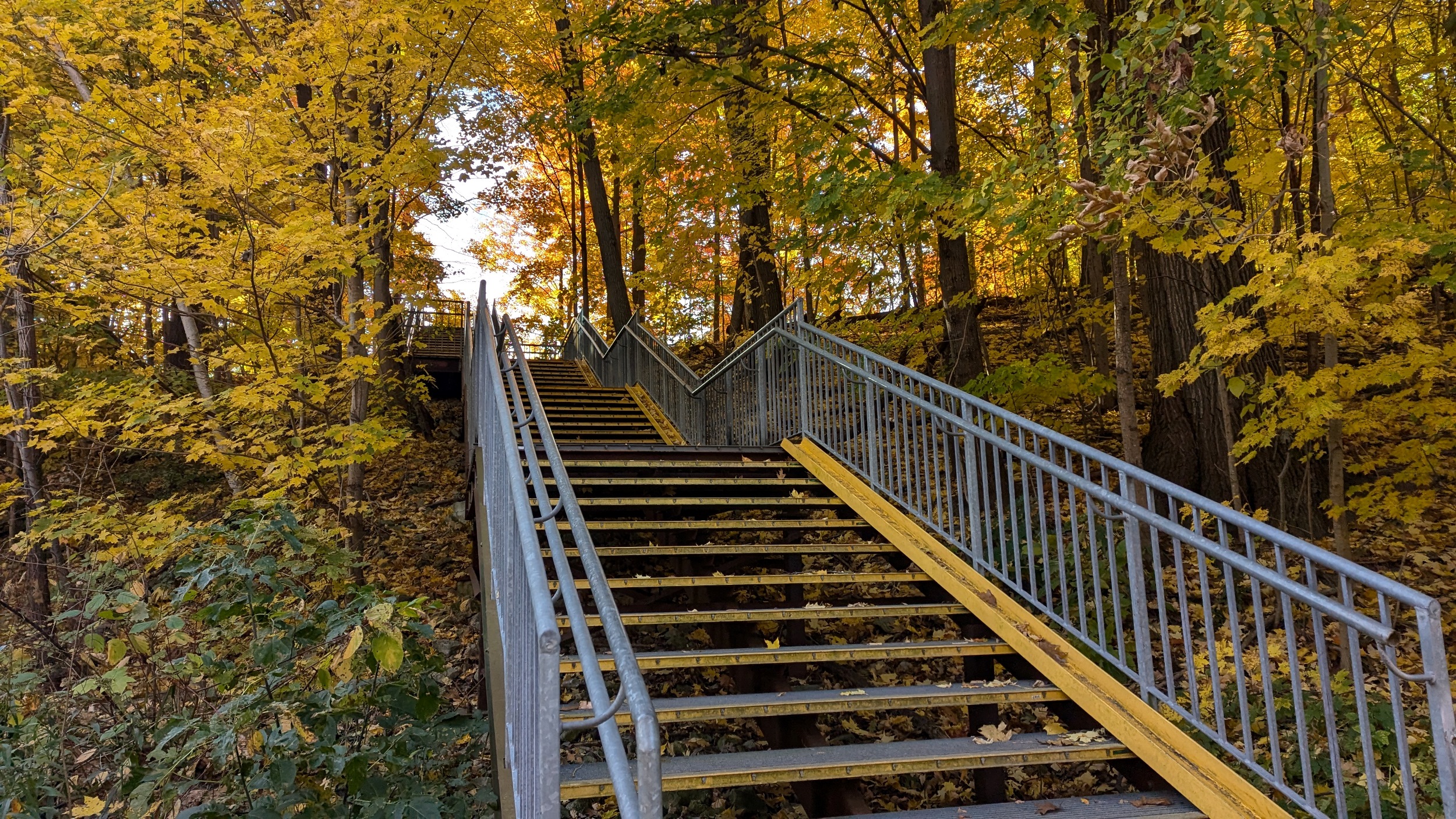
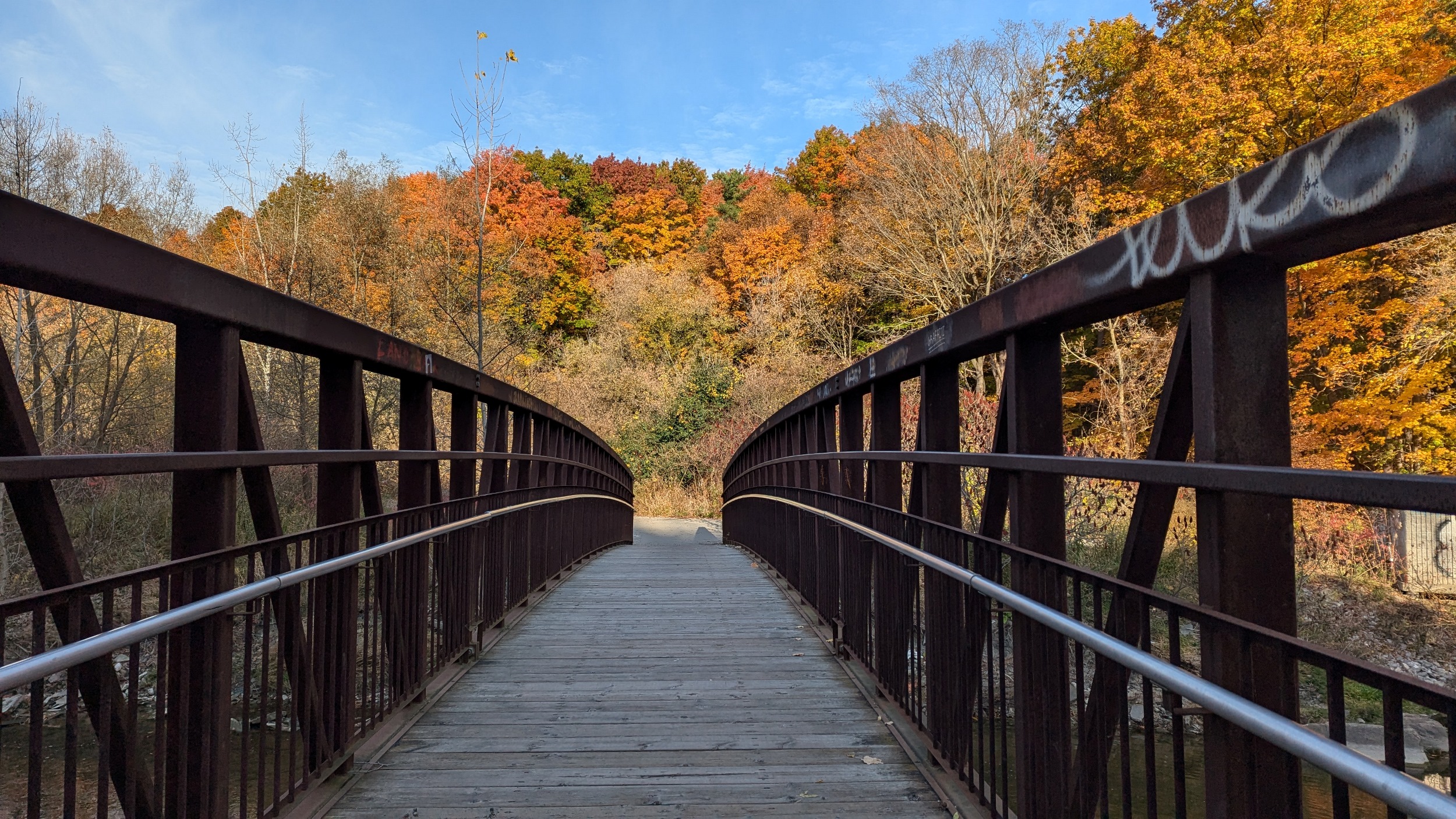
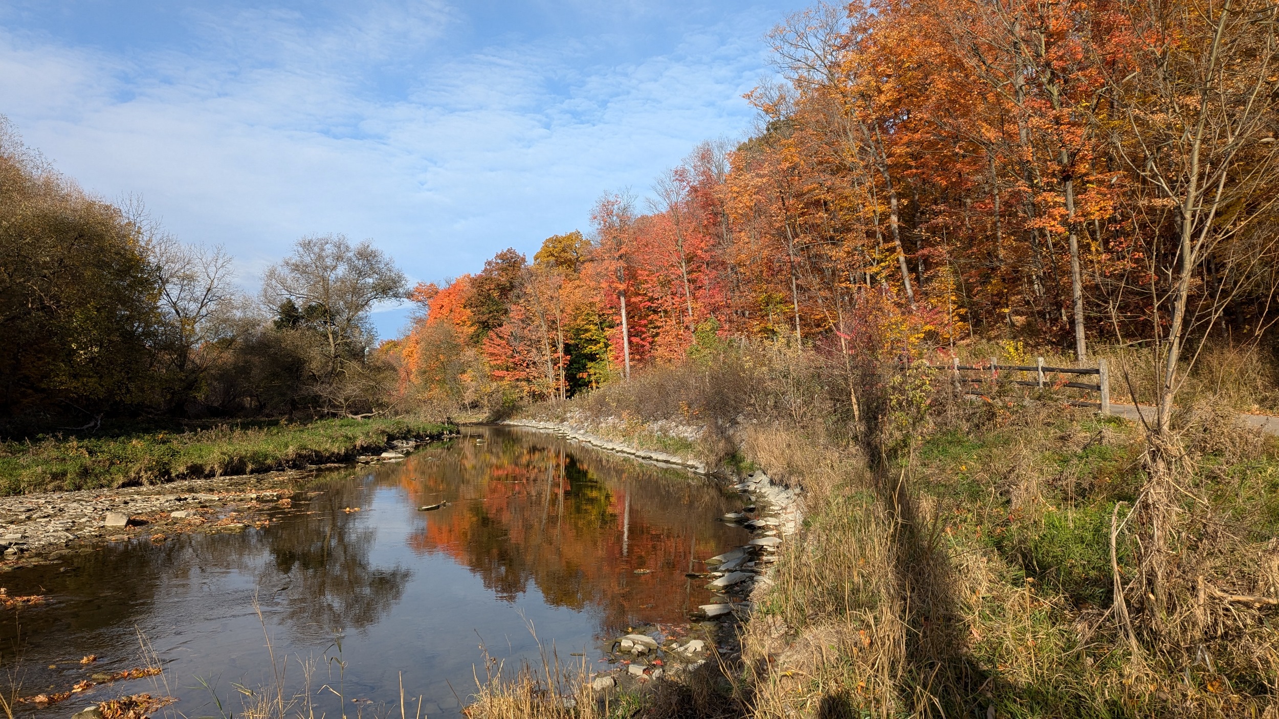
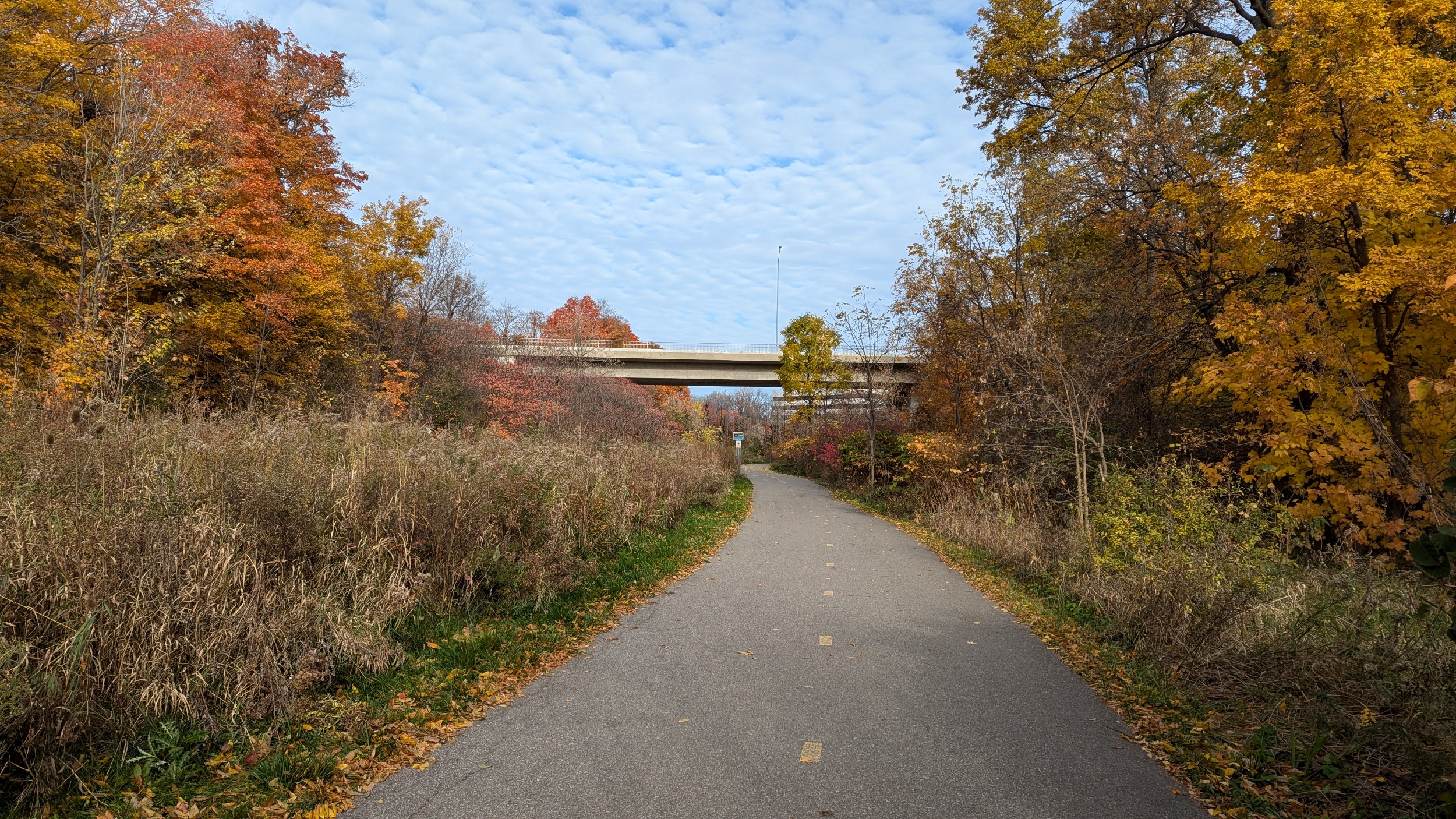
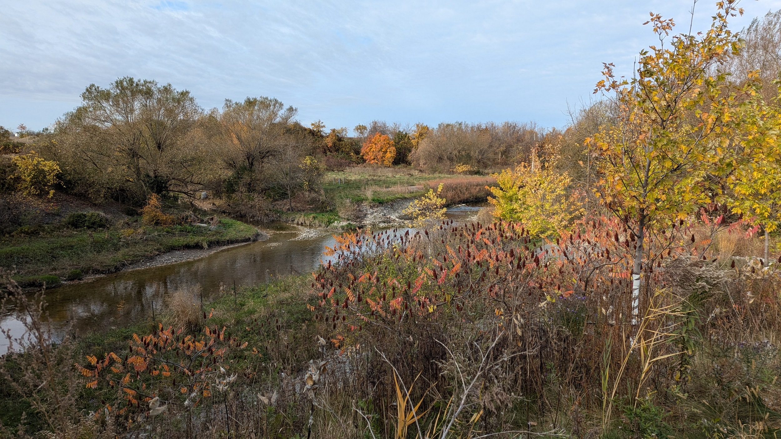
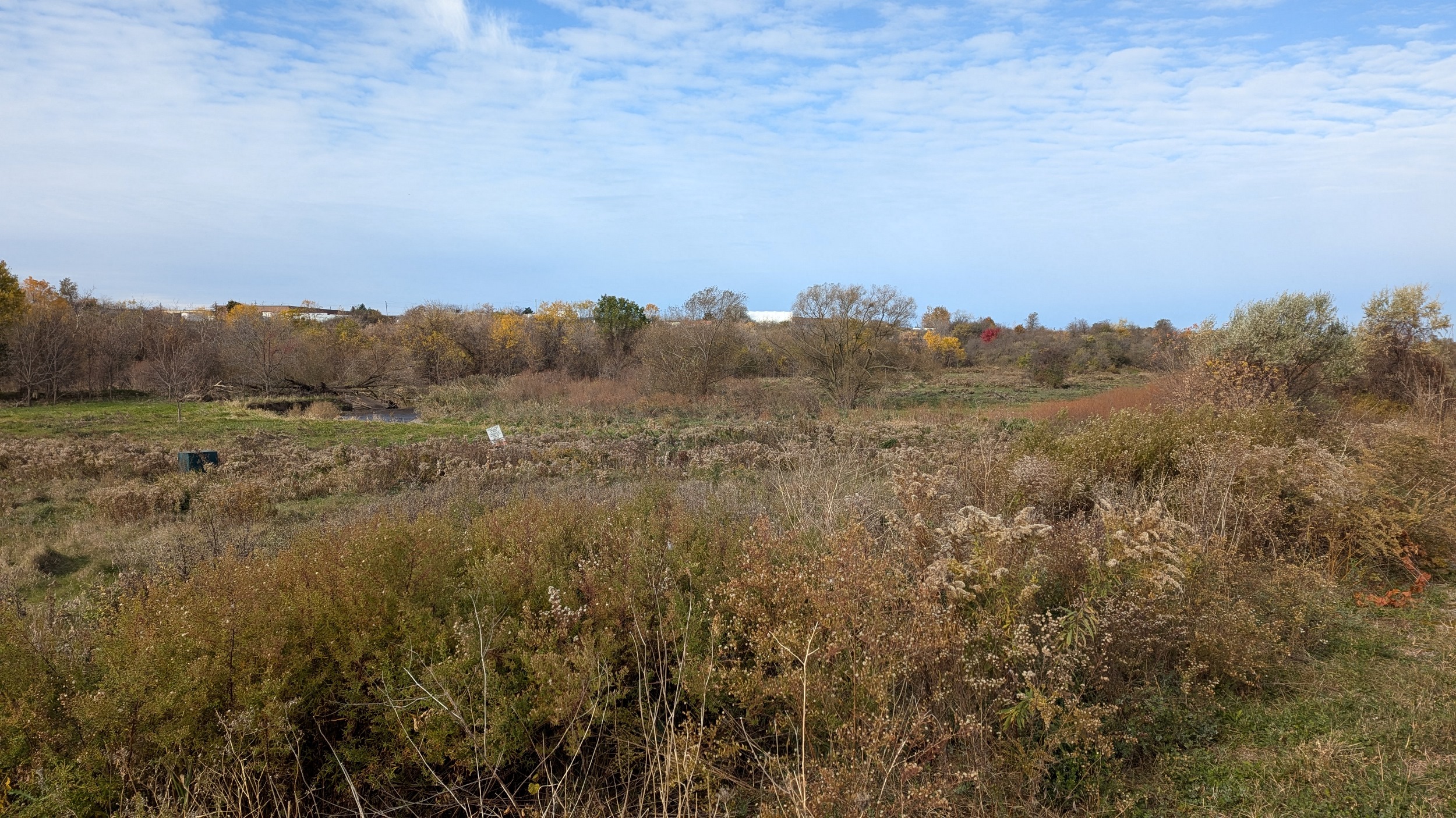
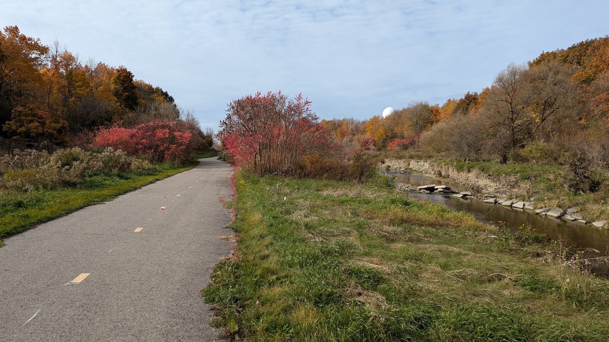
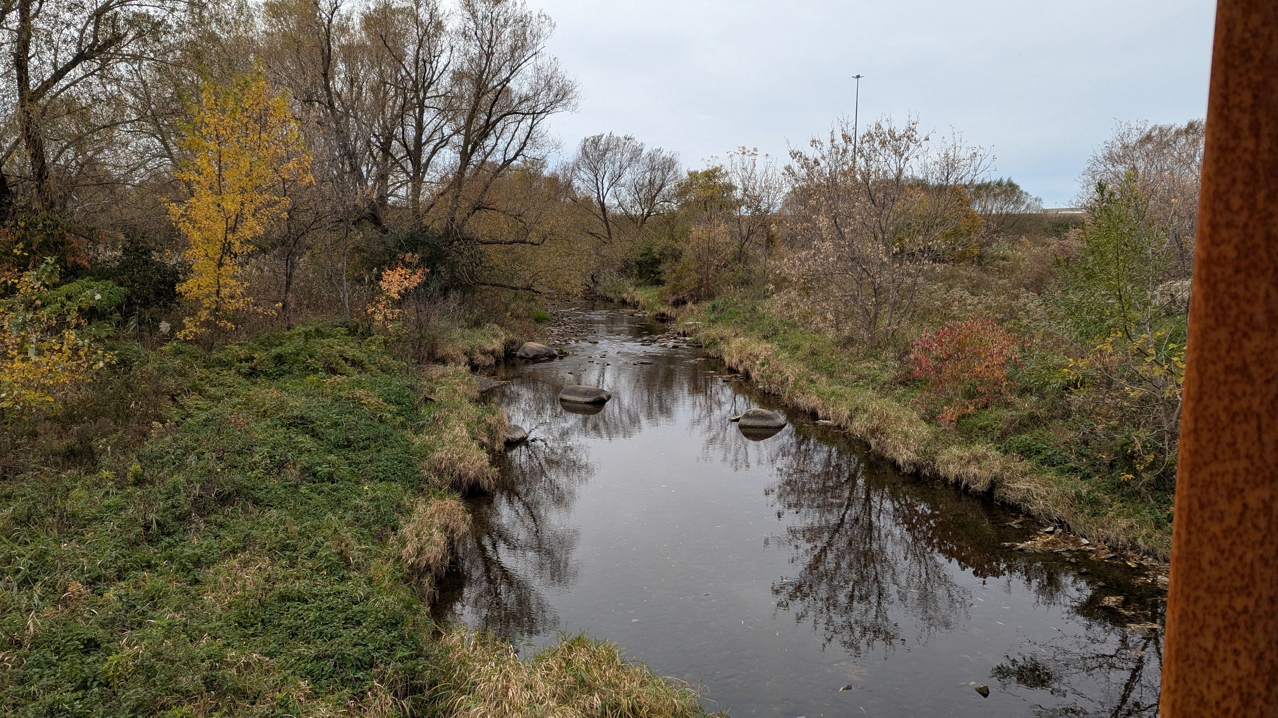
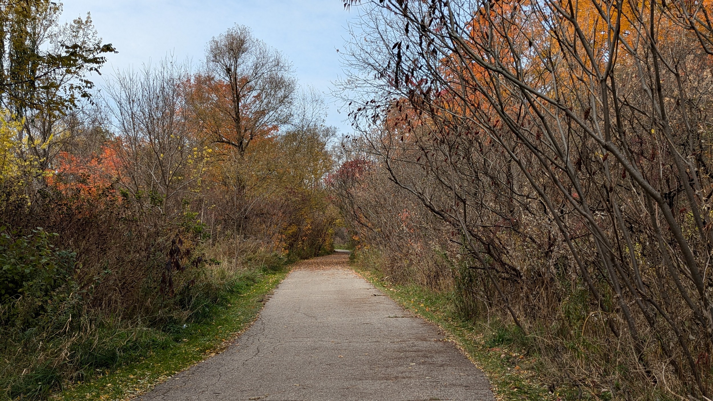
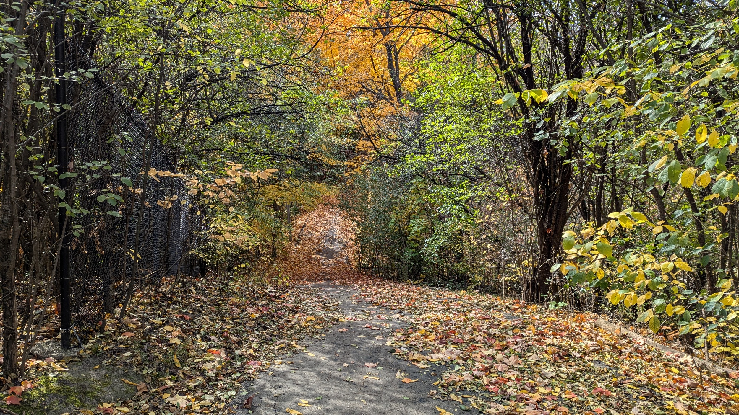
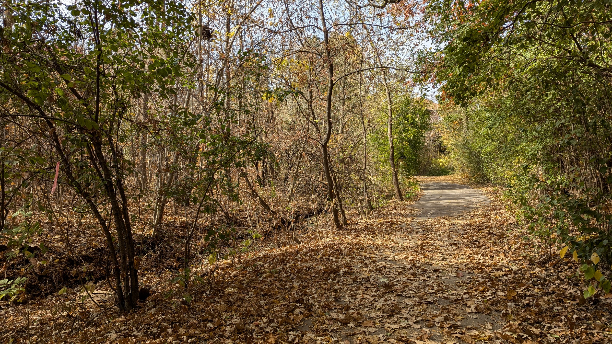
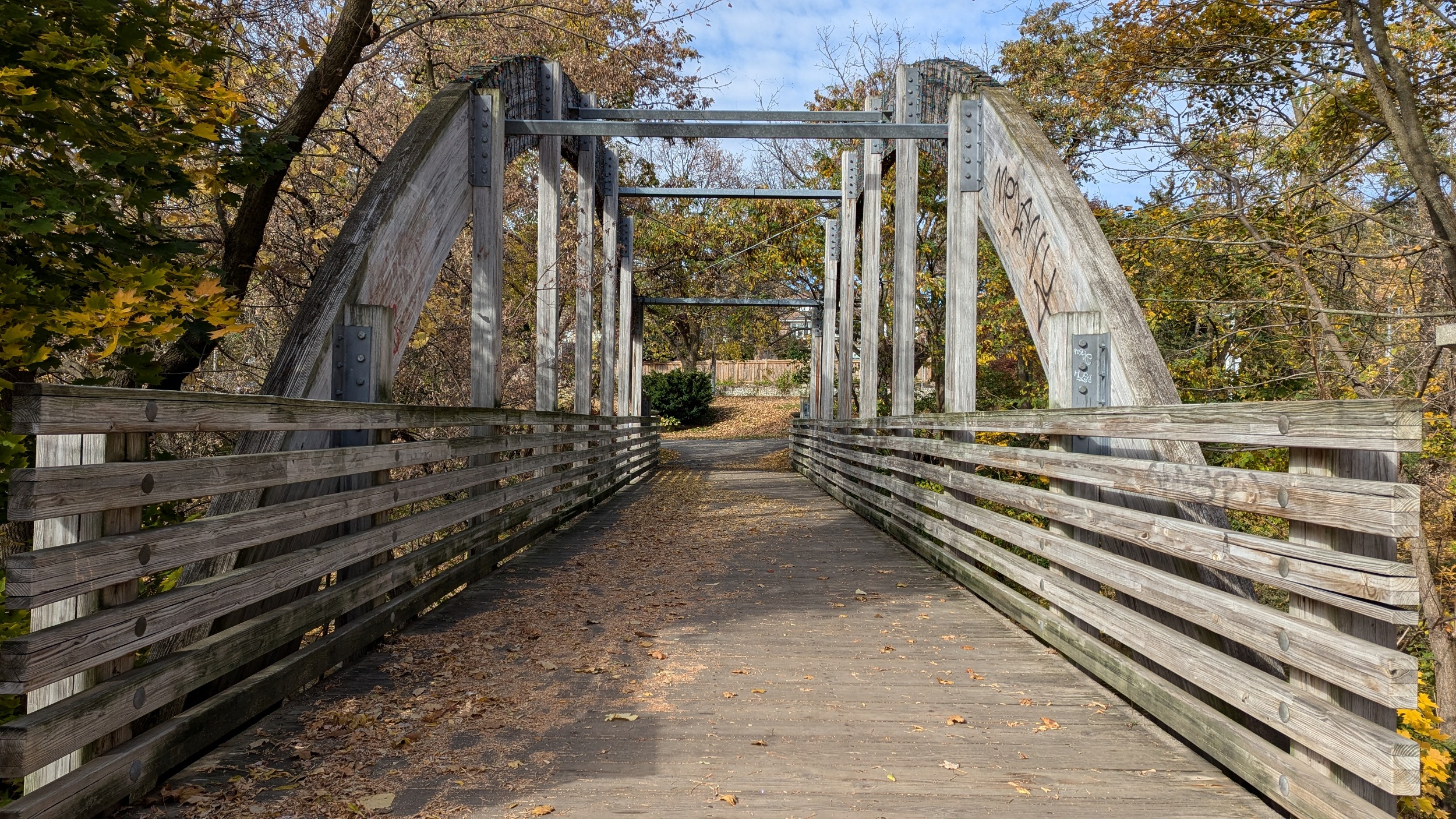
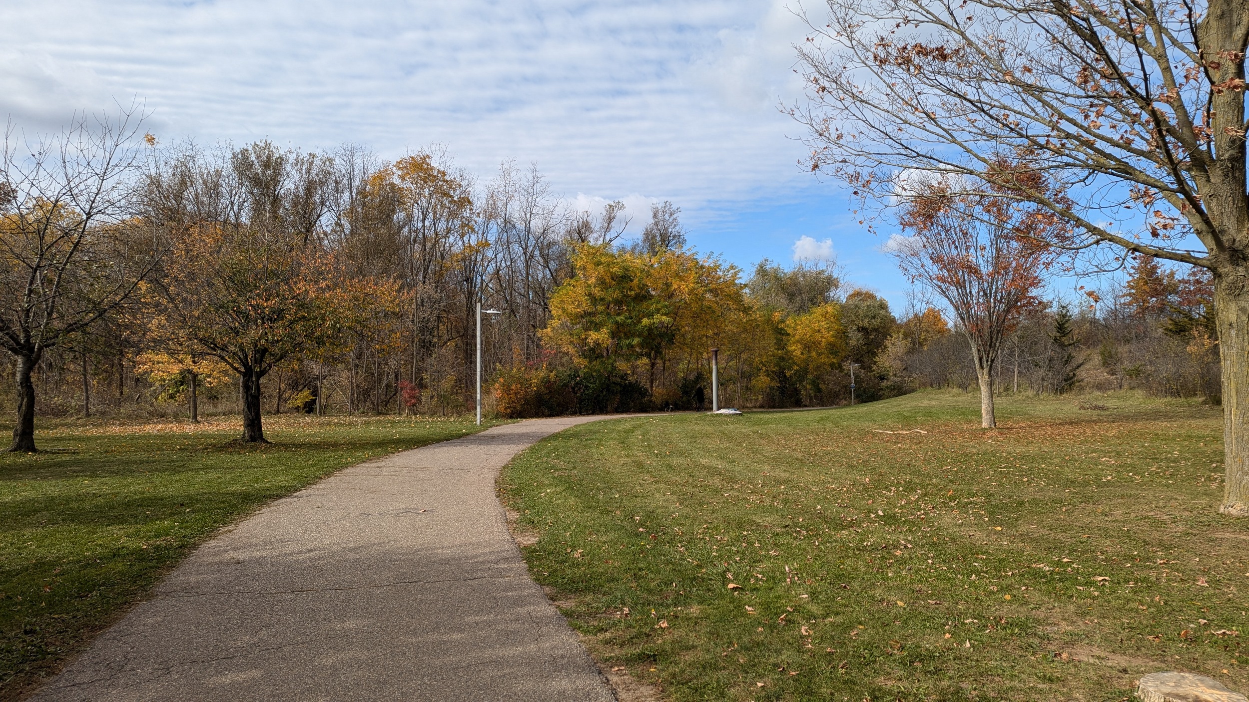
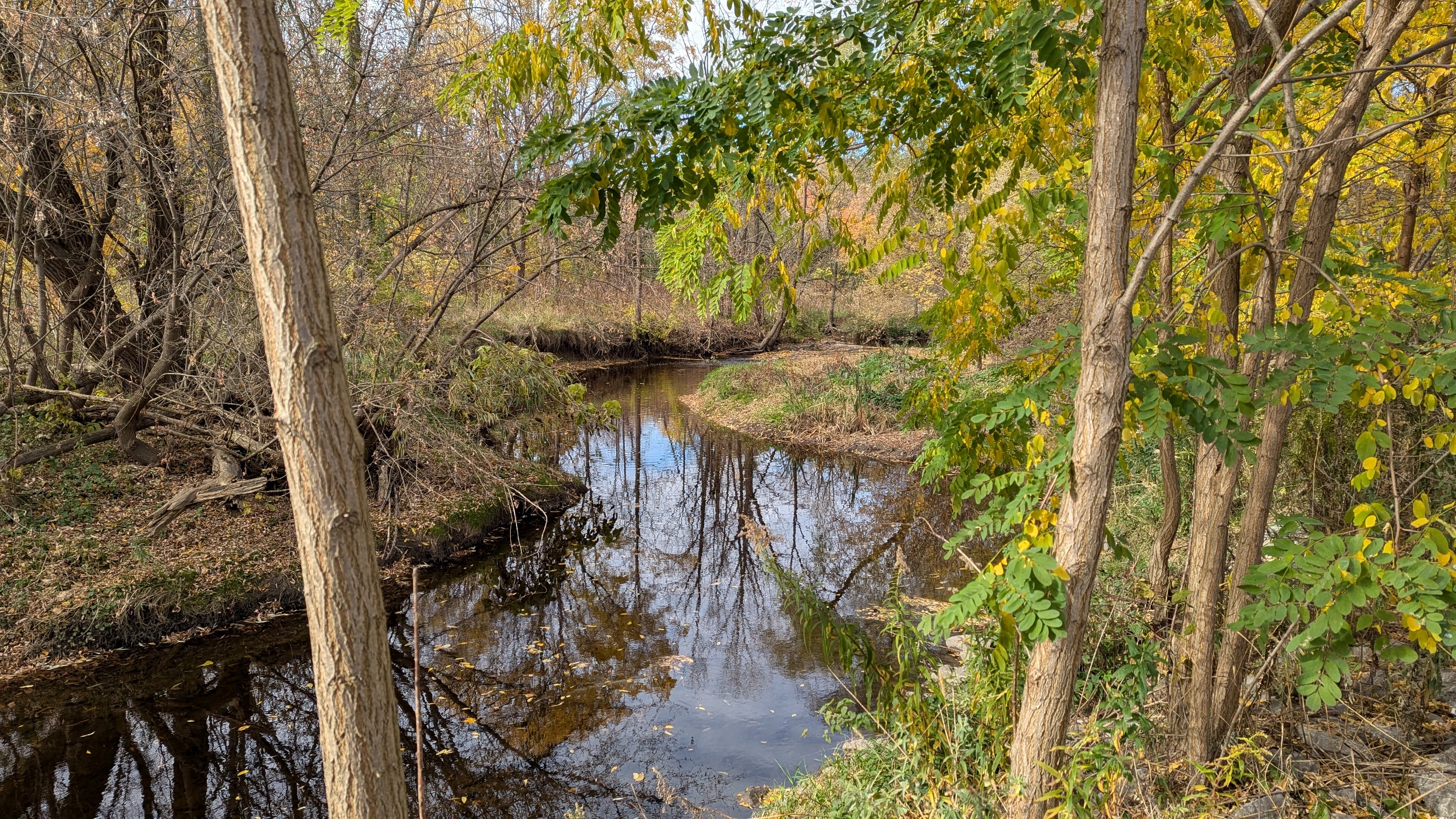
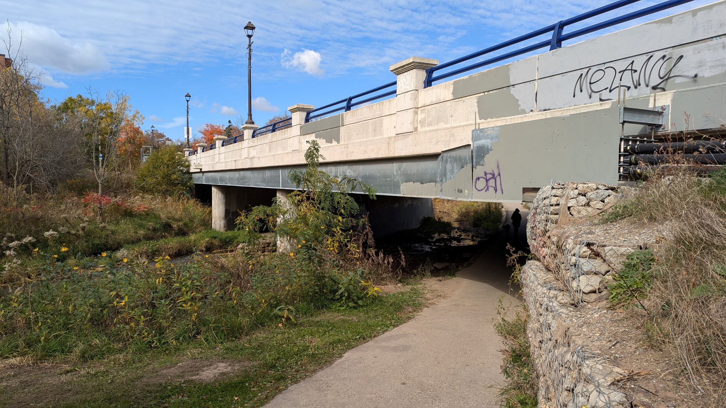
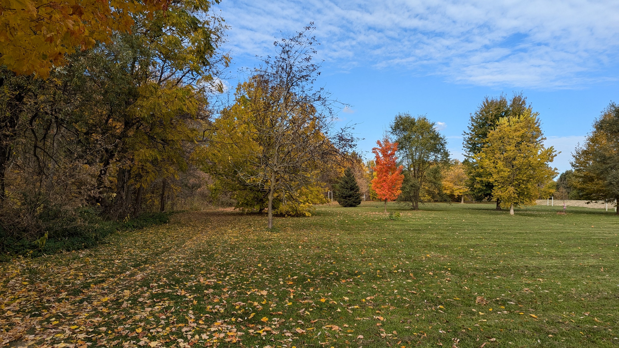
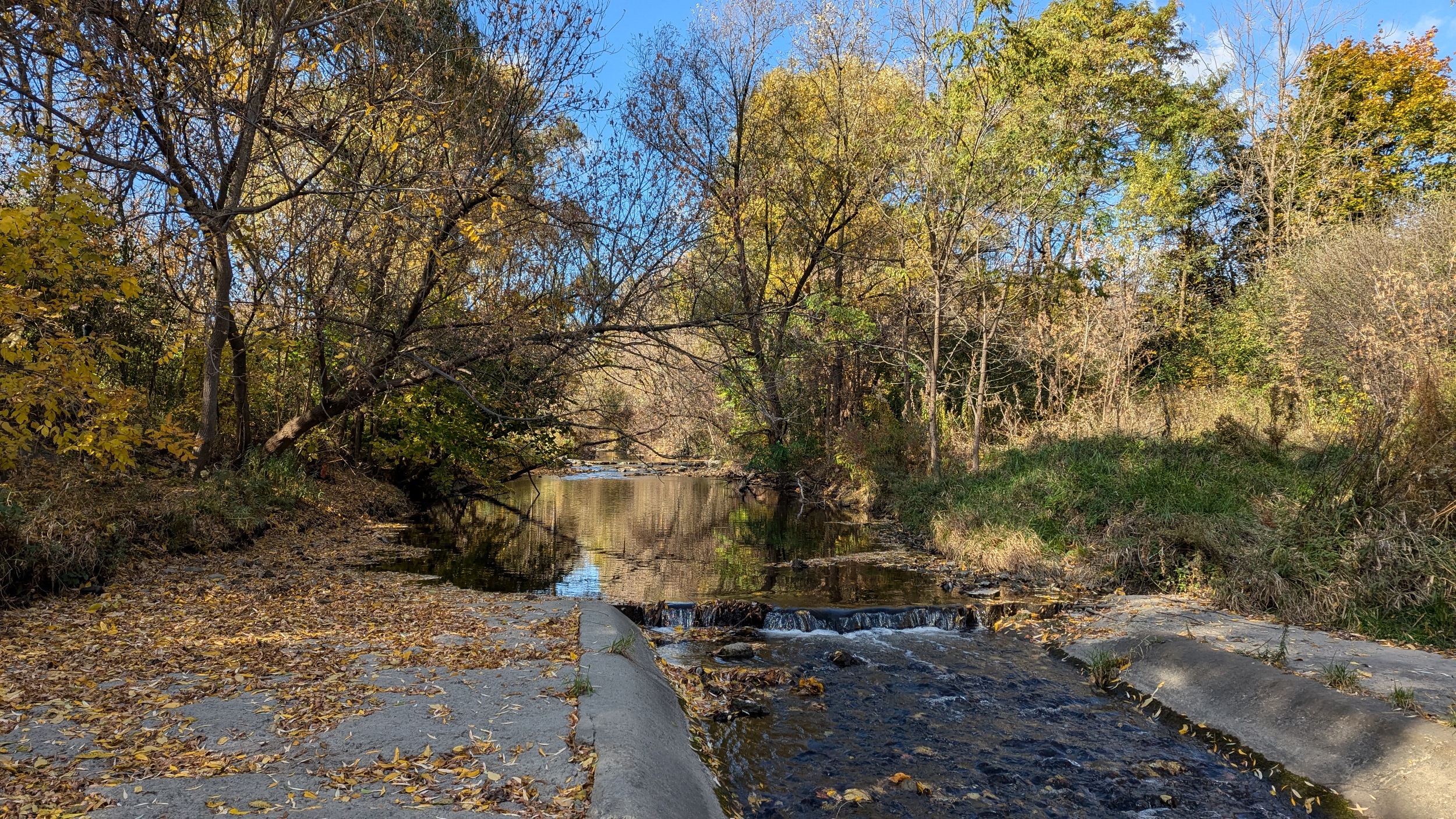
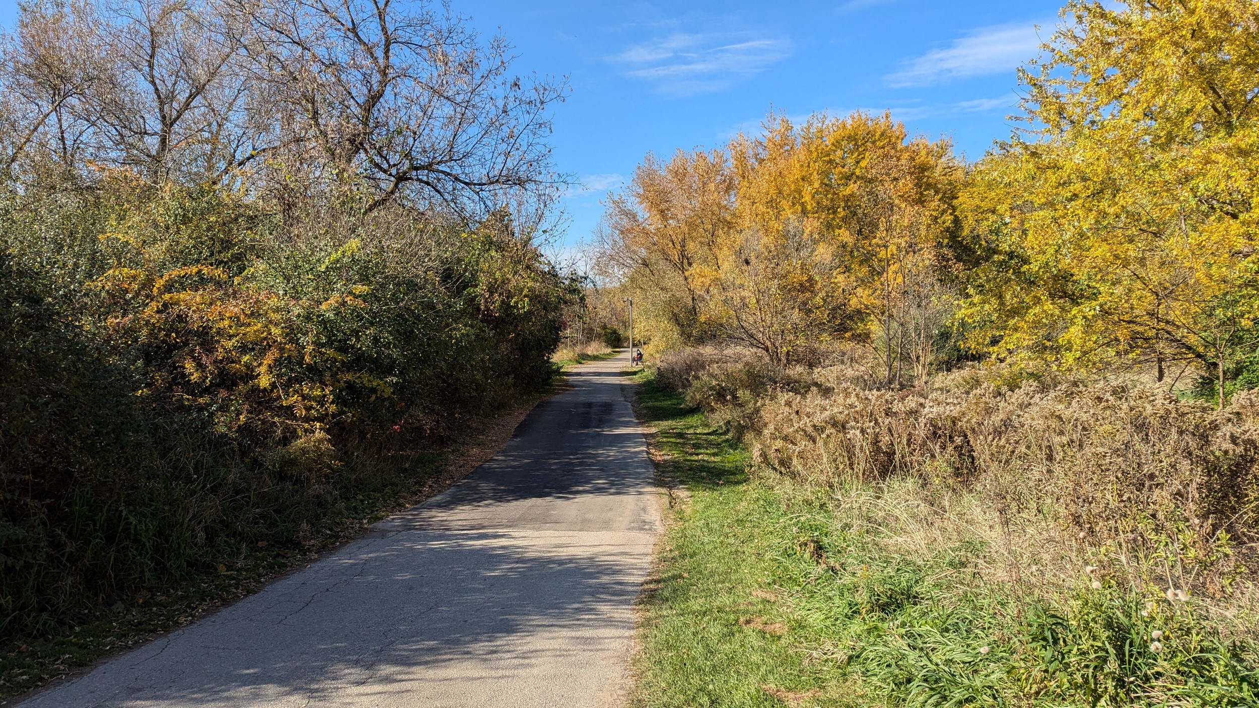
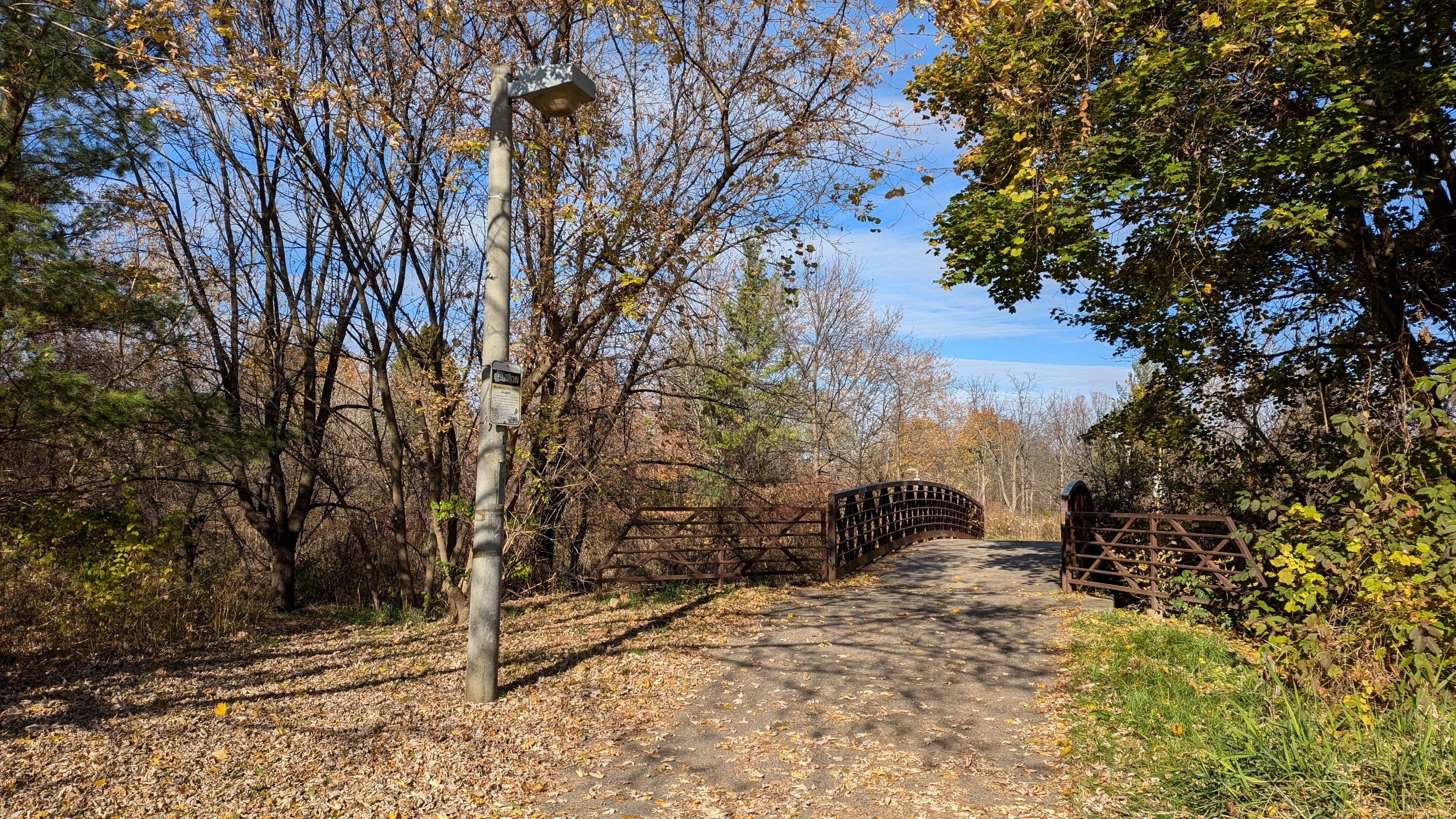
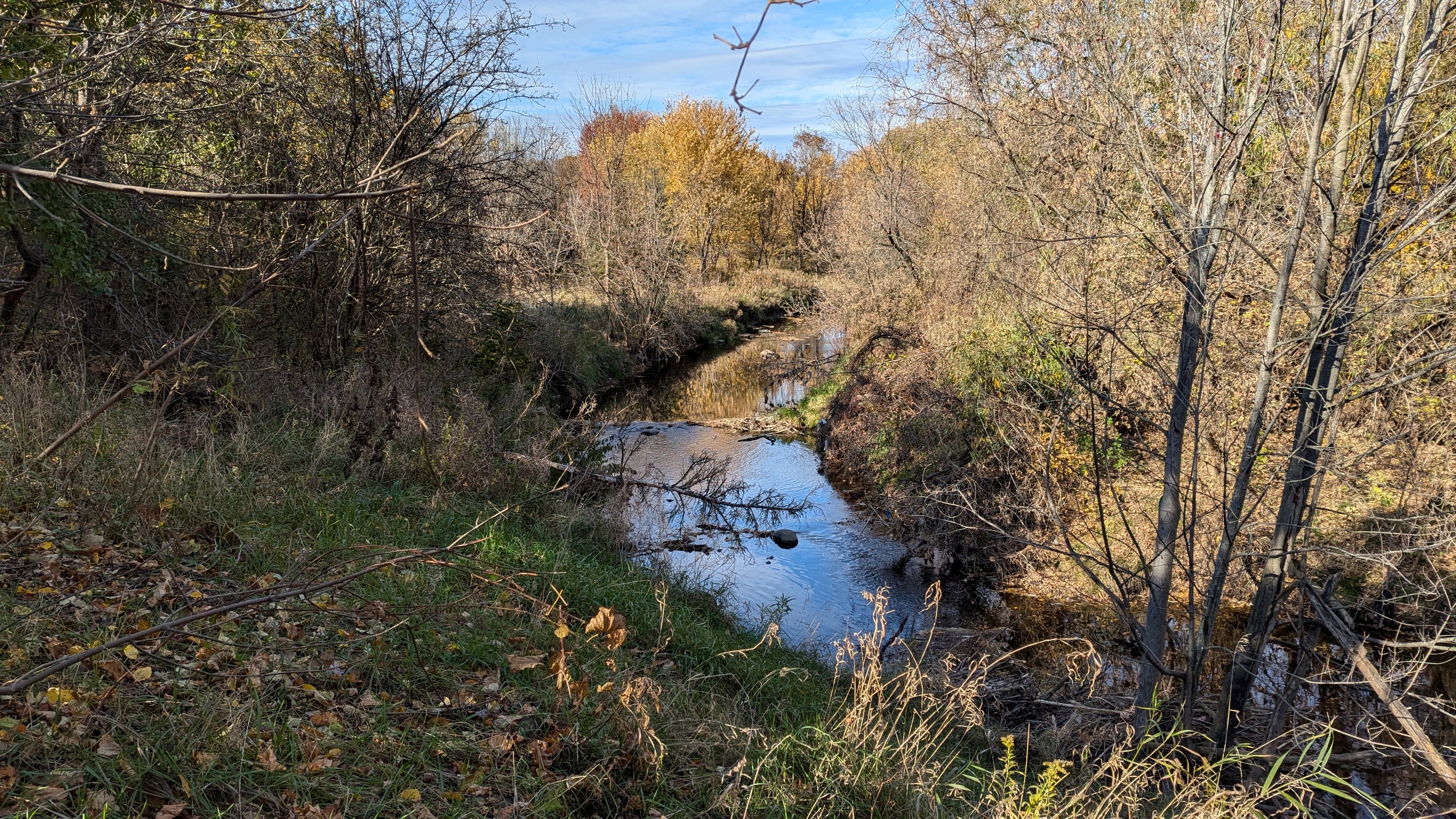
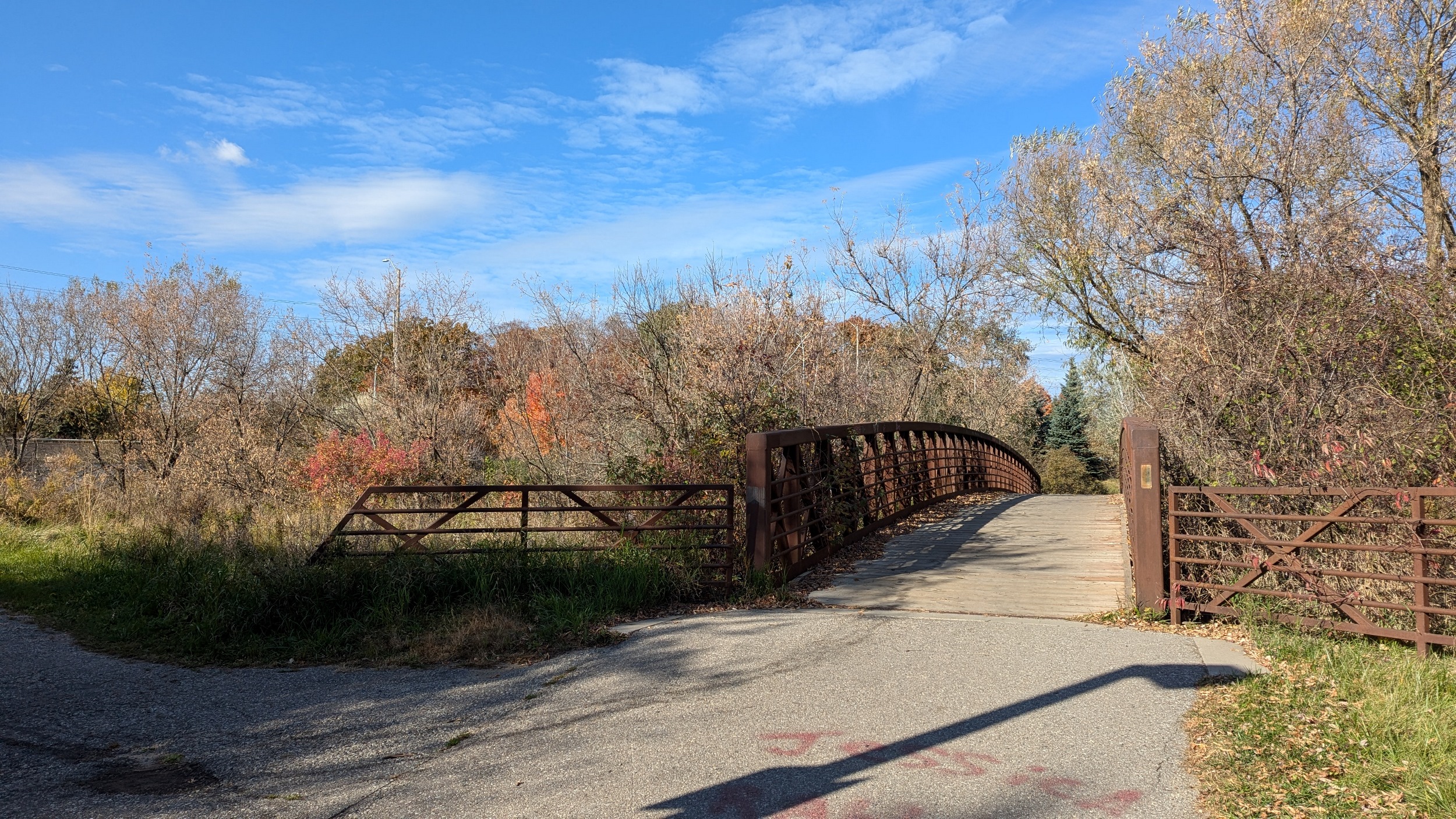
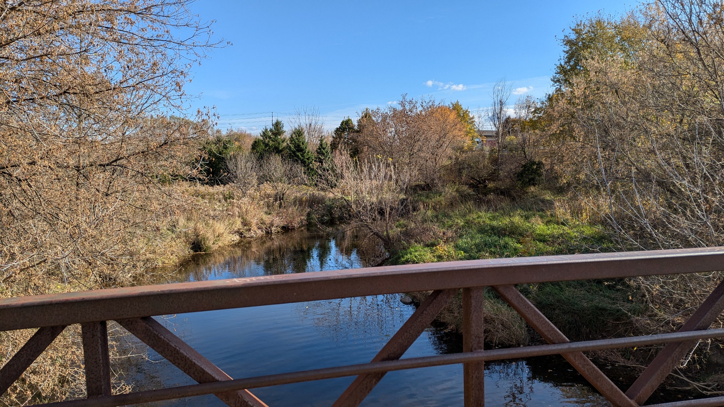
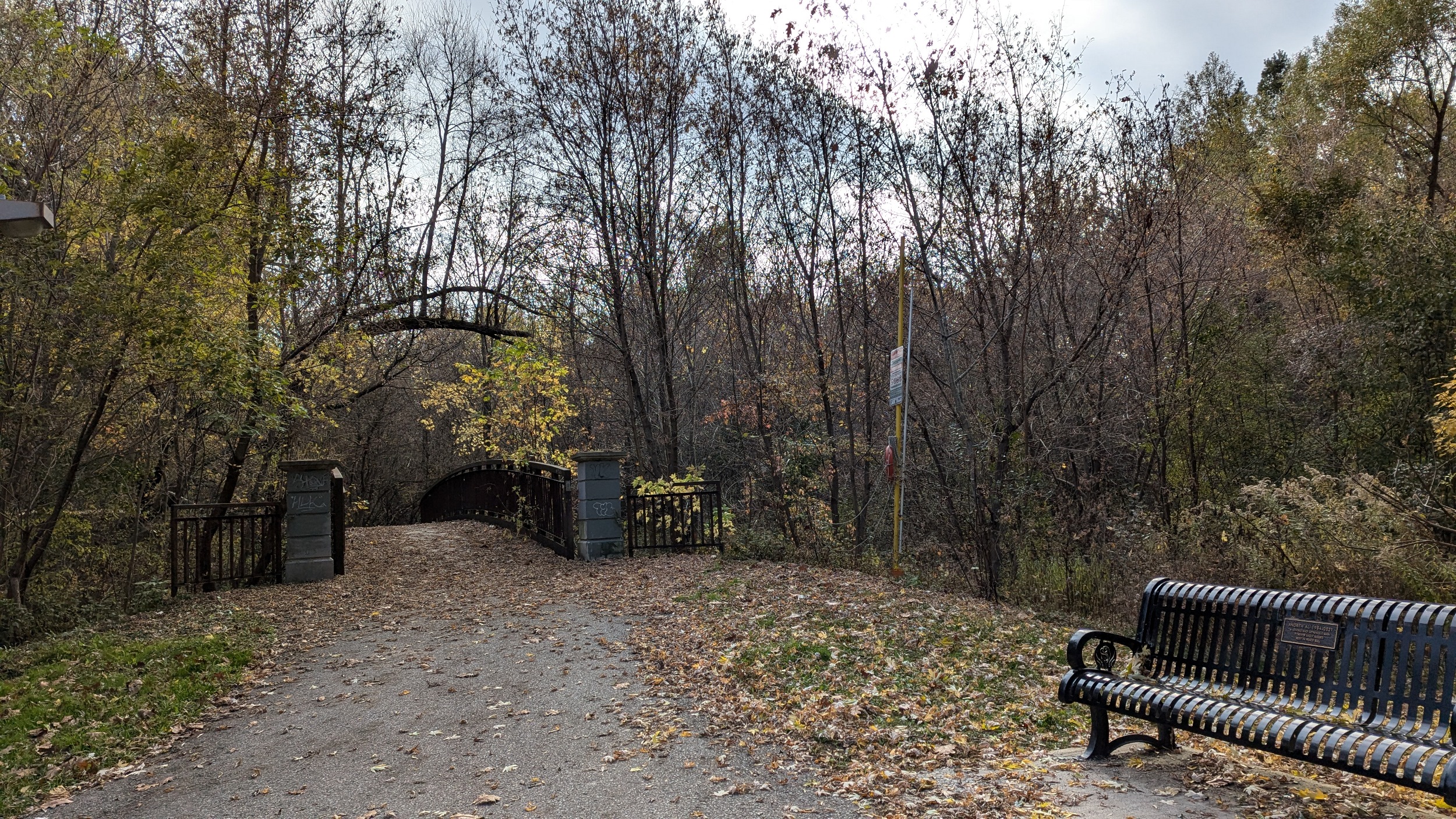
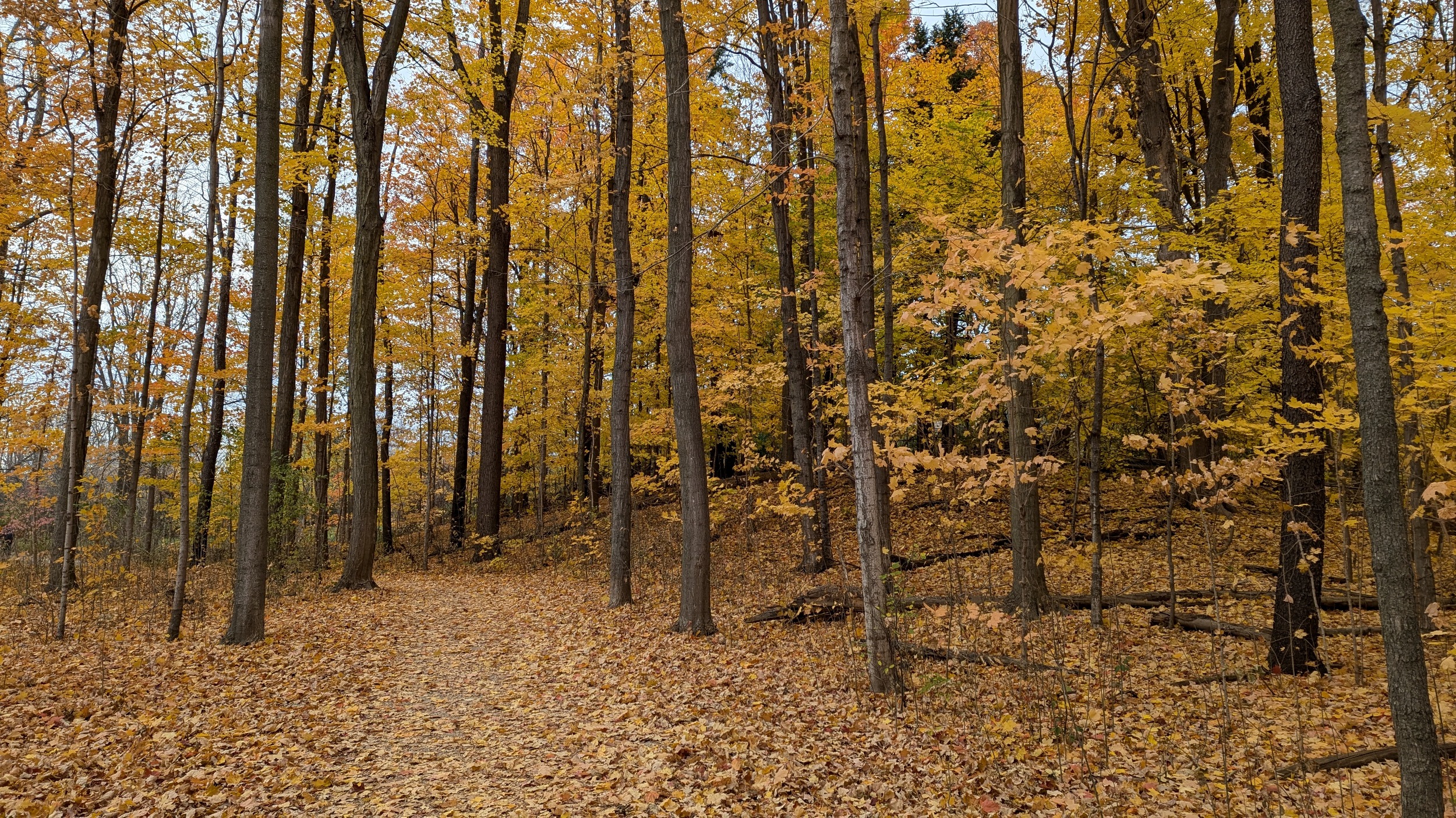
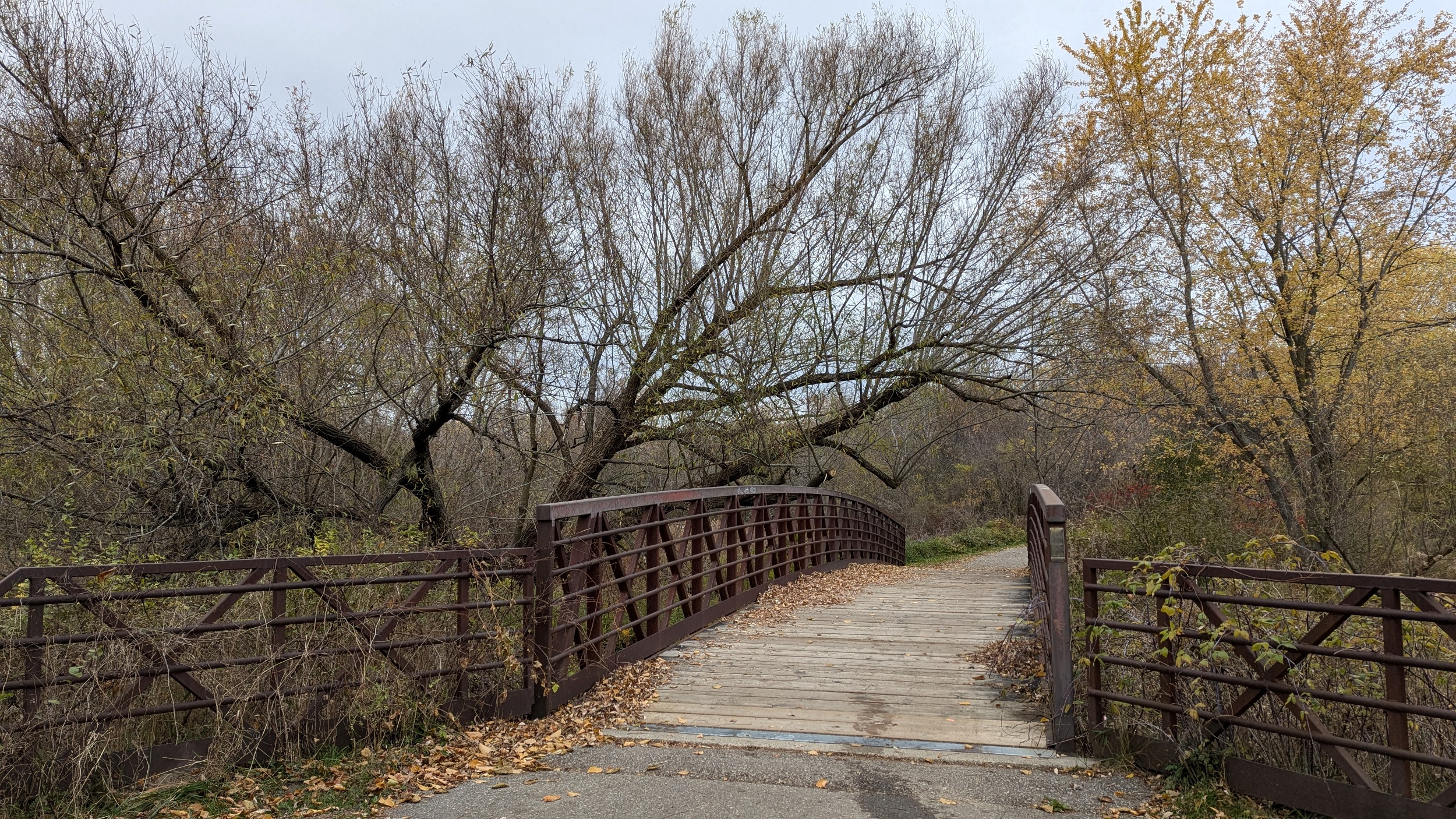
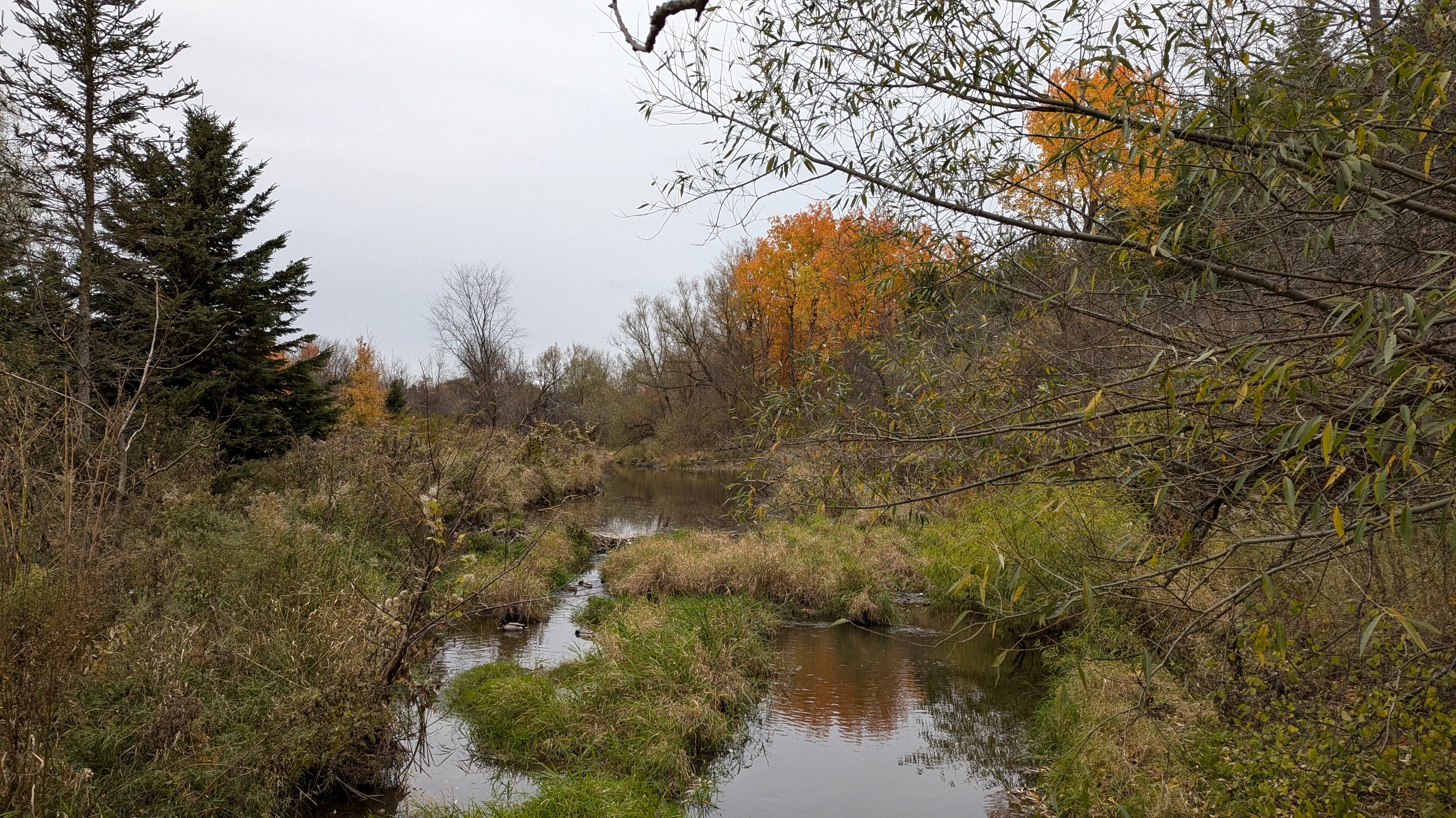
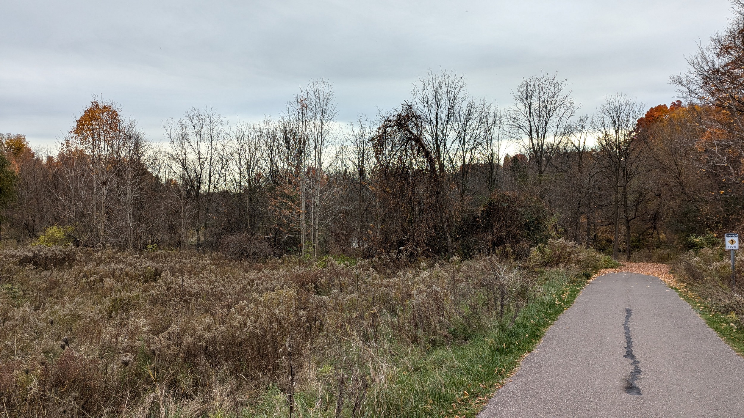
A lot of leaves have fallen already due to stress, but still a wide swath of colour is hanging on. Weathered steel bridges add to the rustic feel of this urban river valley.
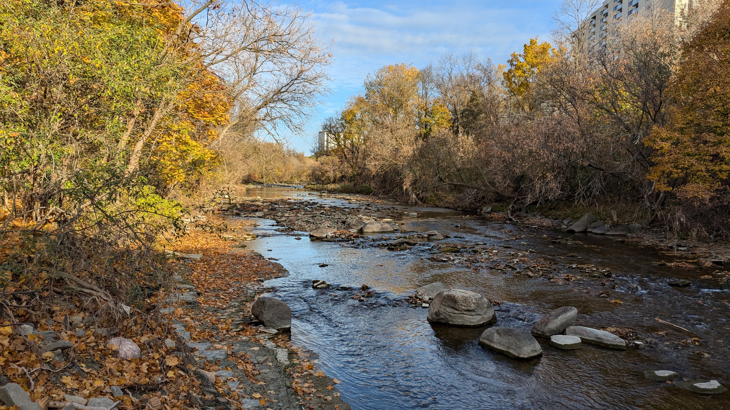
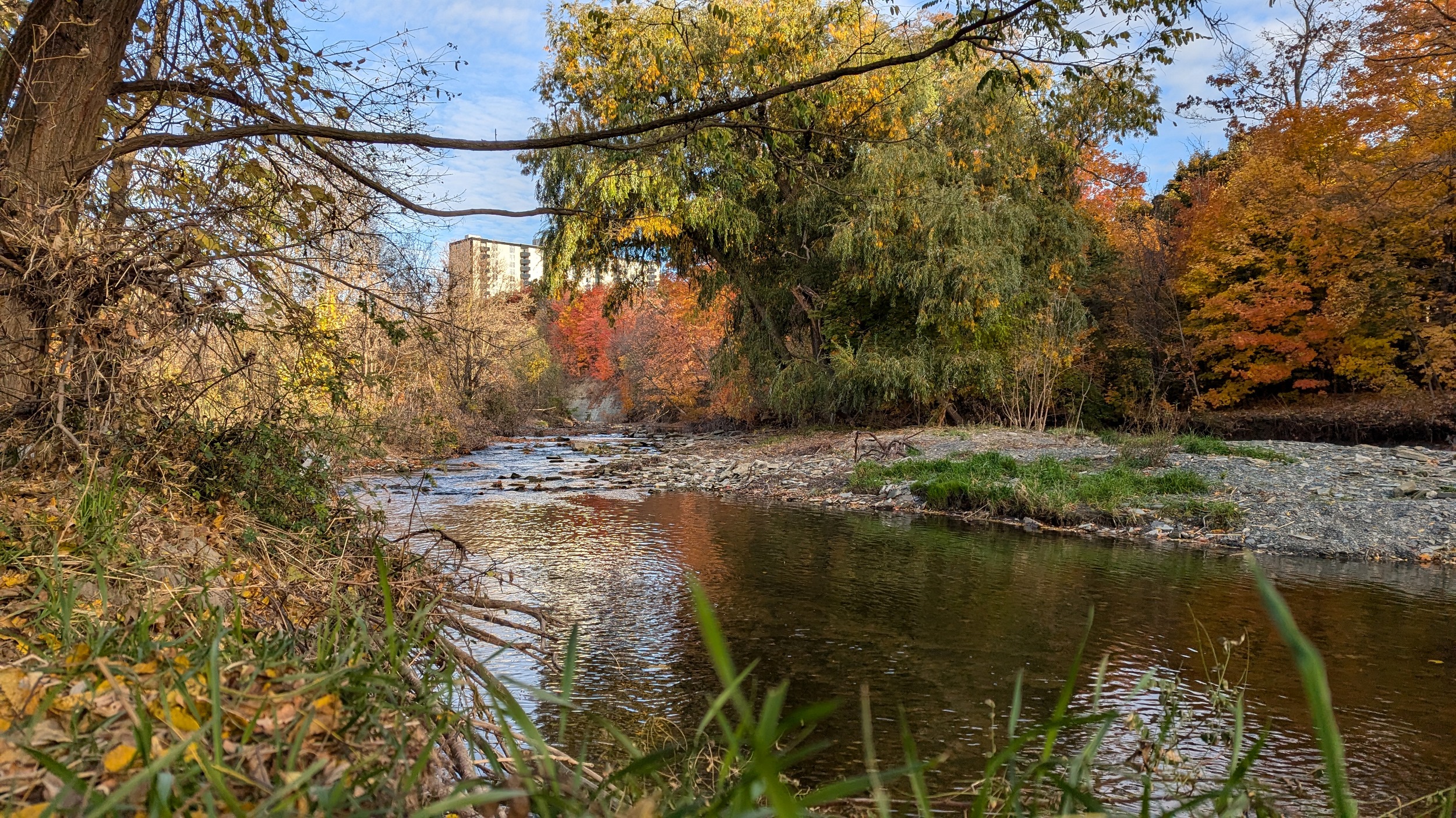


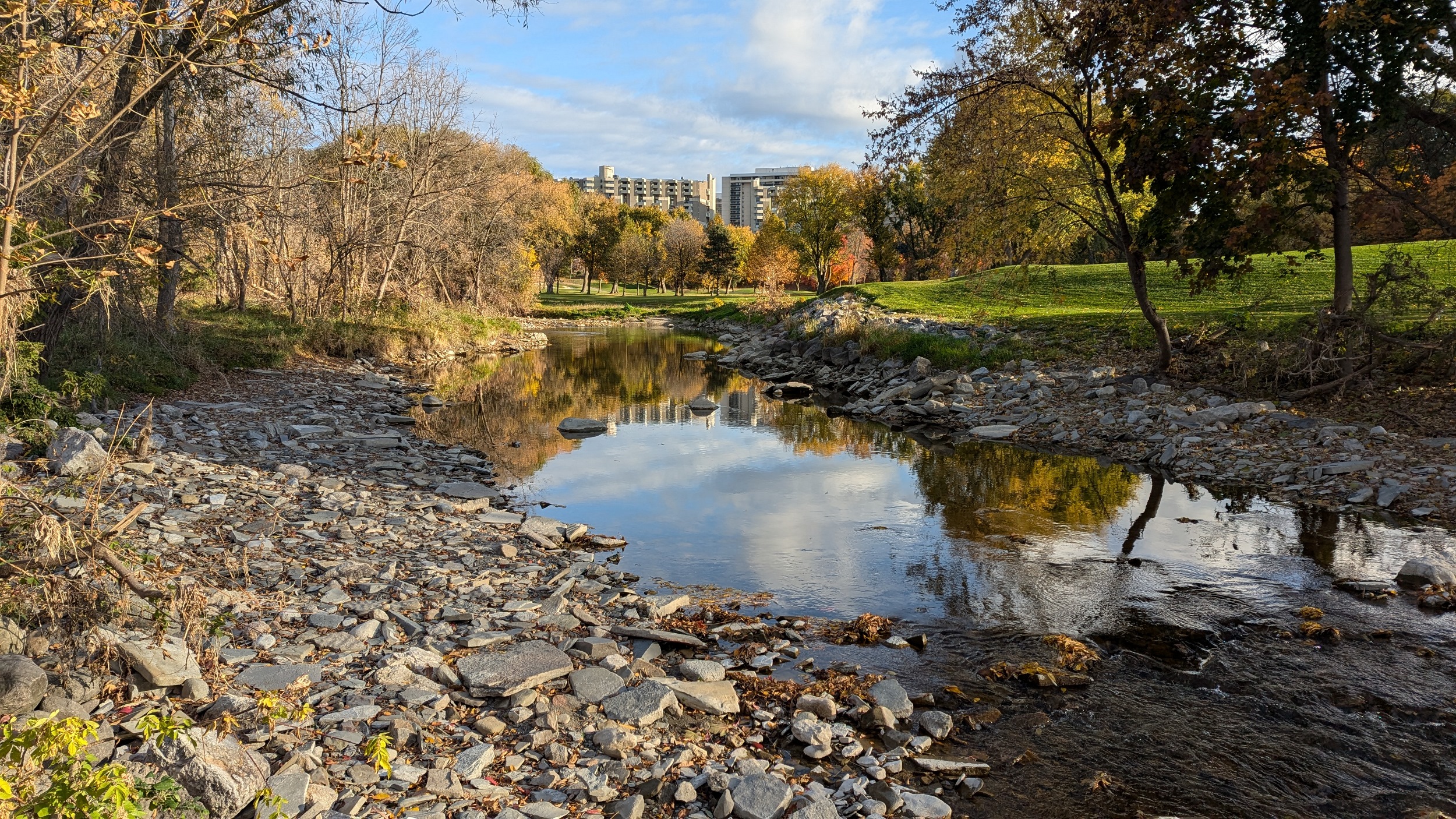
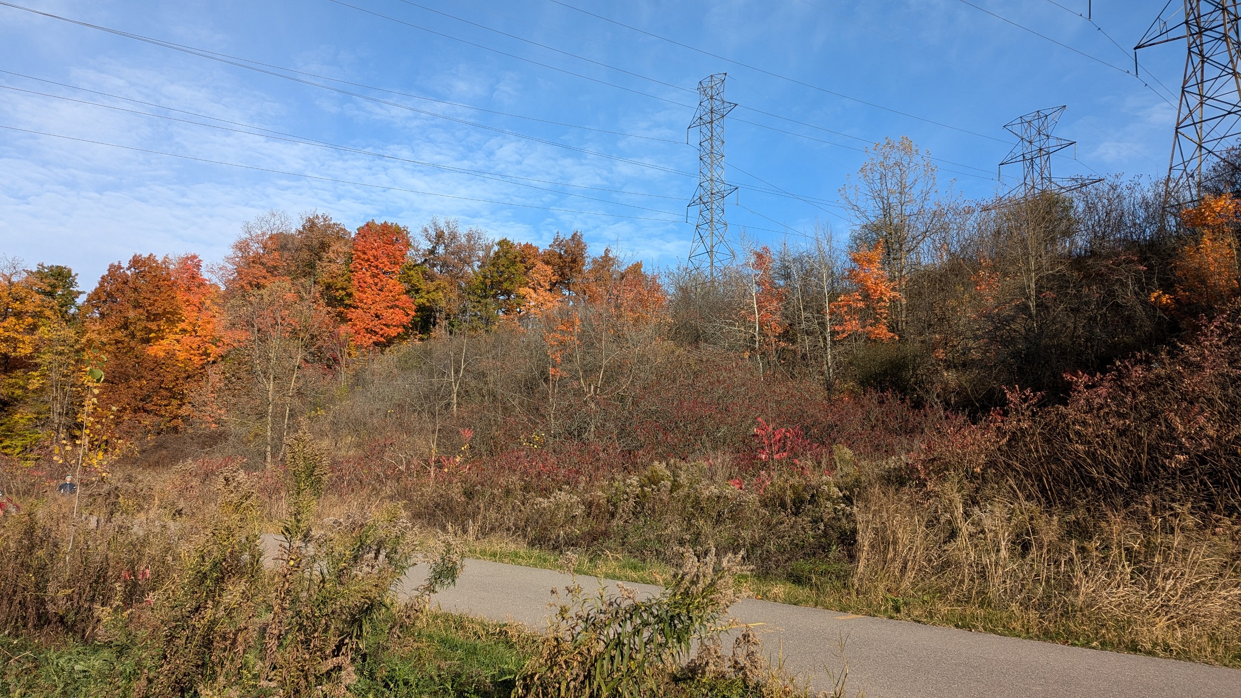
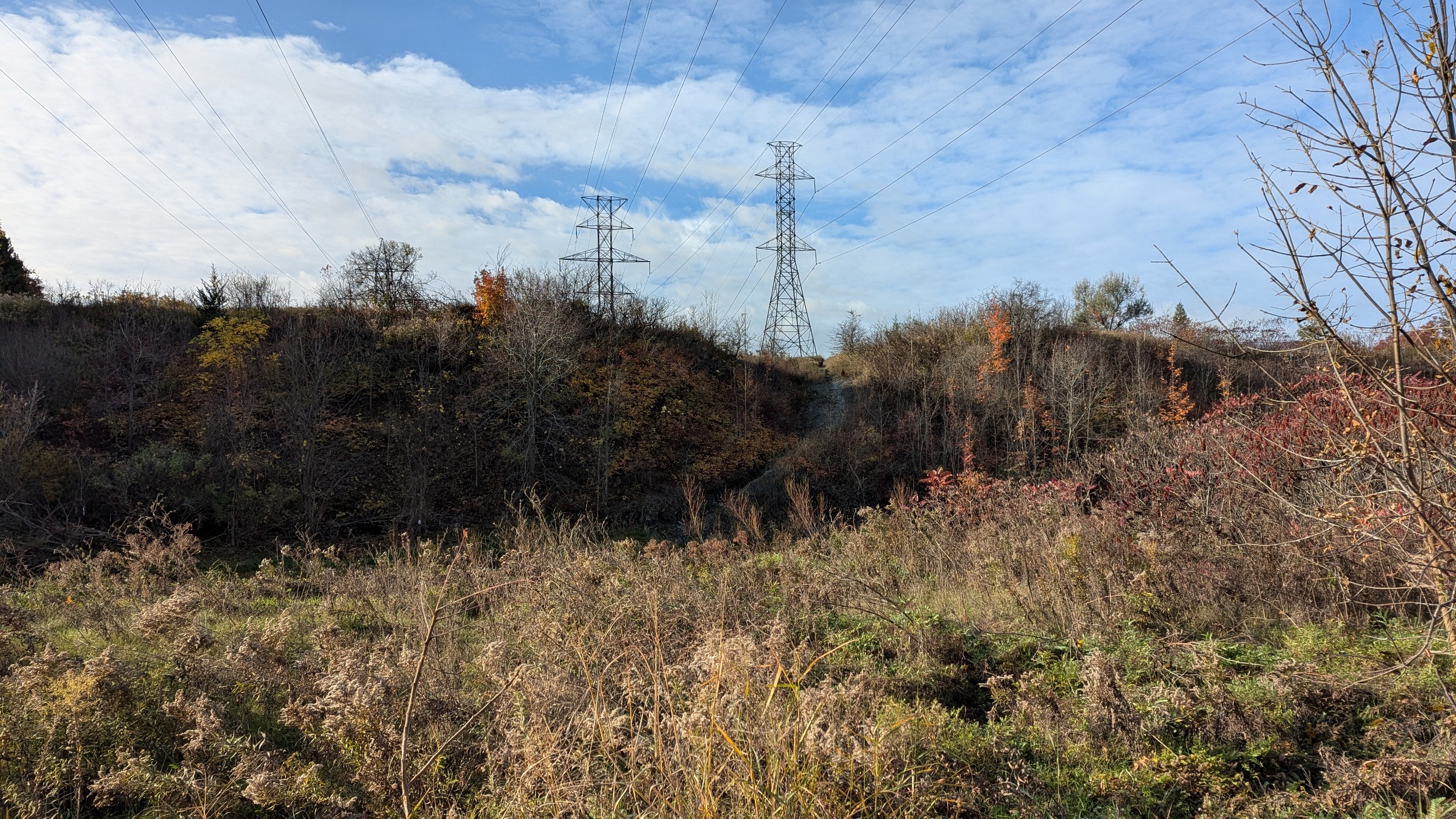
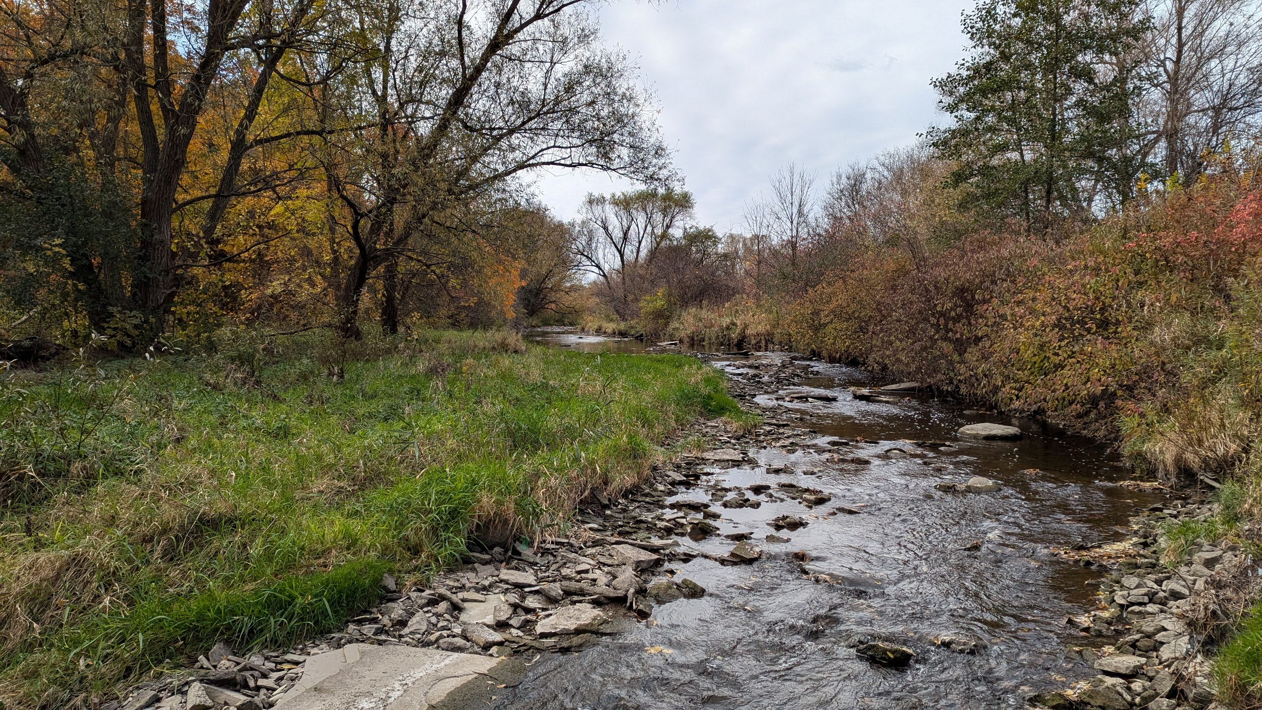
Over the creek, and technically into the City of Toronto for a bit. The valley continues uninterrupted by roads until Eglinton Avenue and the Mississauga Transitway (where you cross back into Mississauga). Along the way, you cross a major hydro corridor, and see some bedrock slopes of shale.
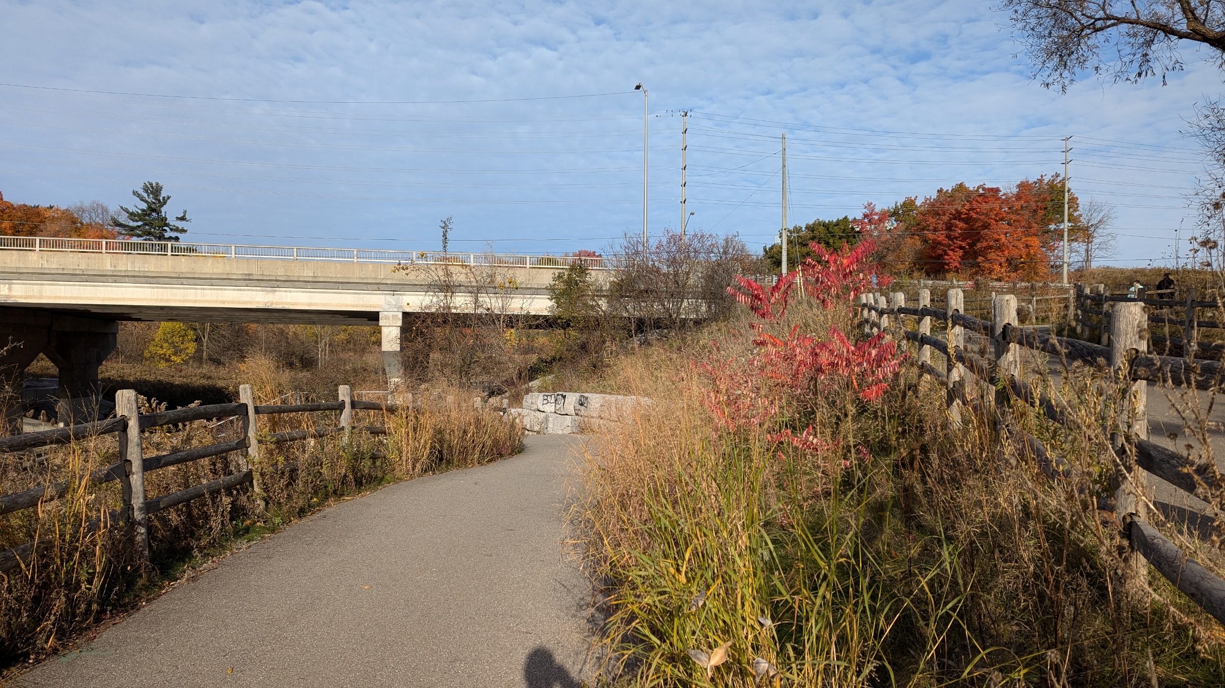

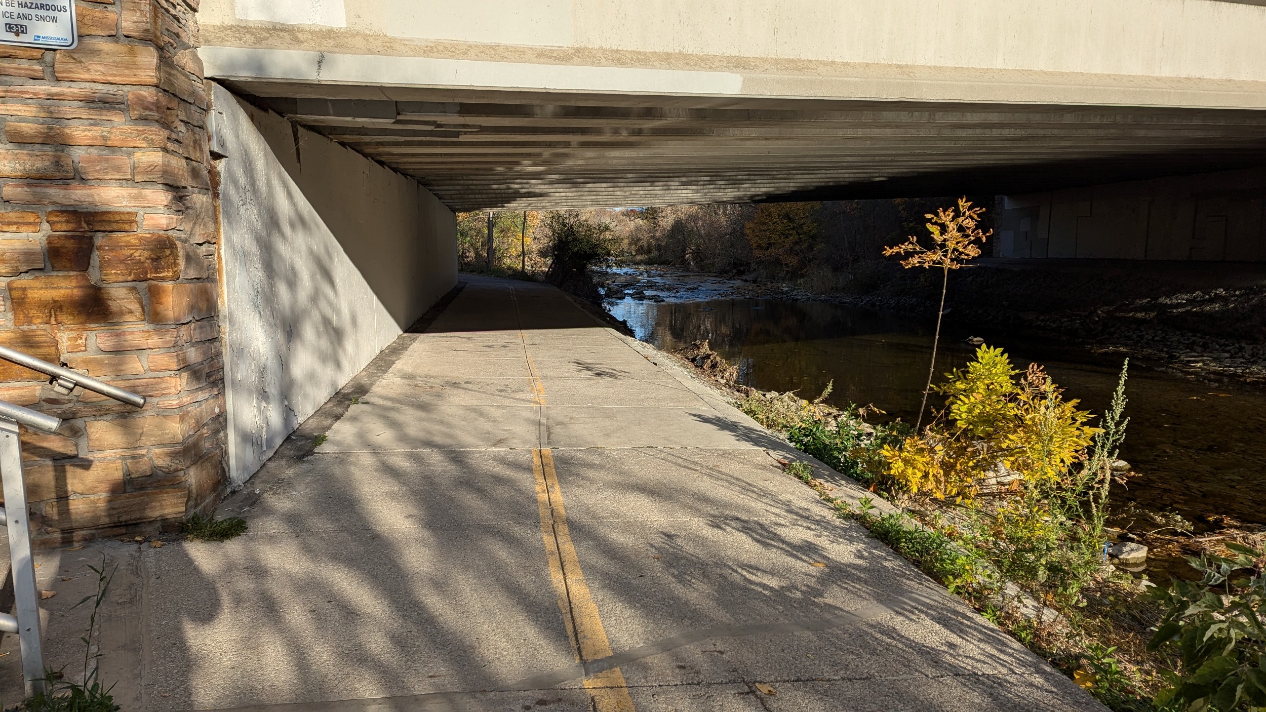
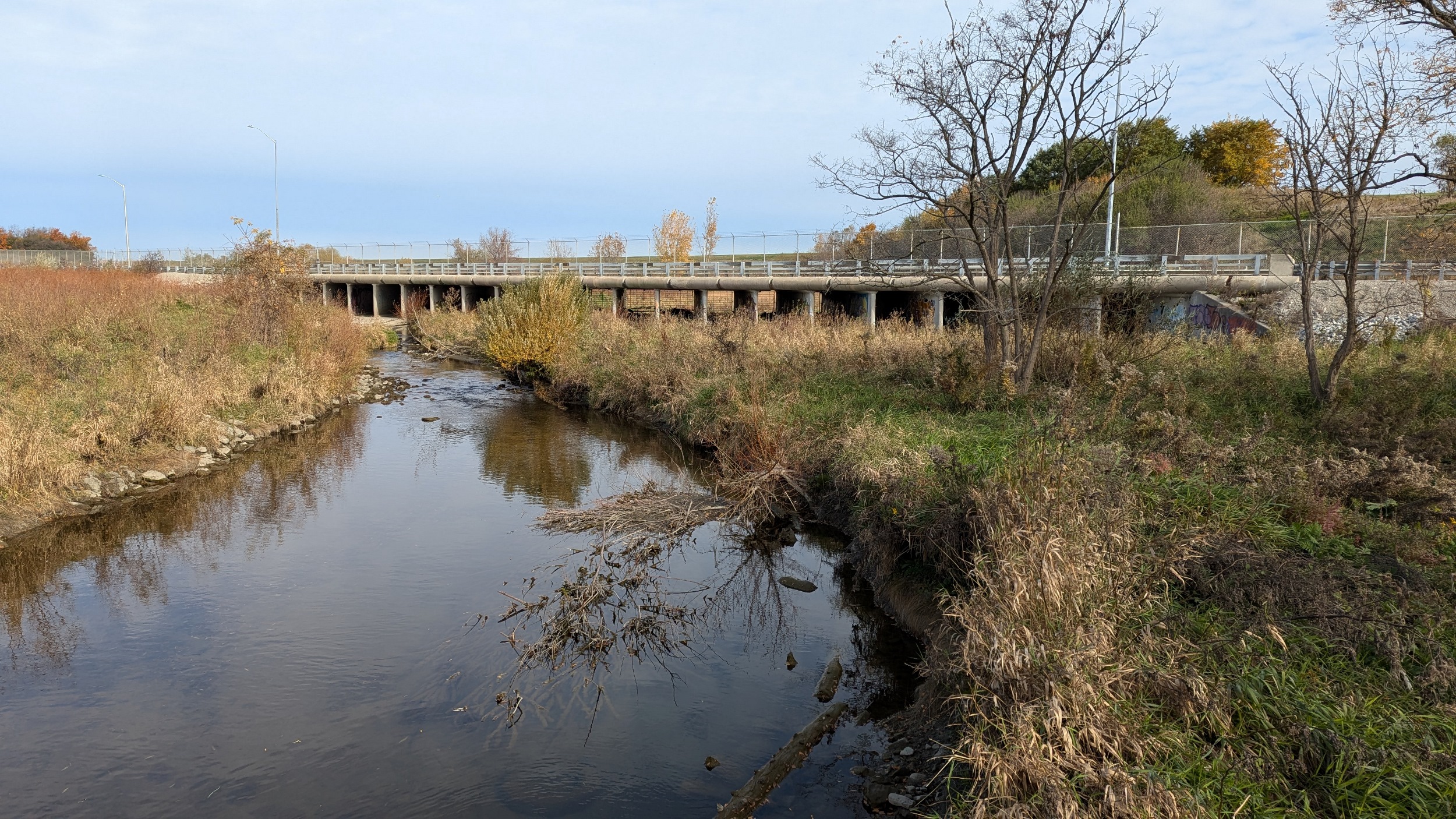
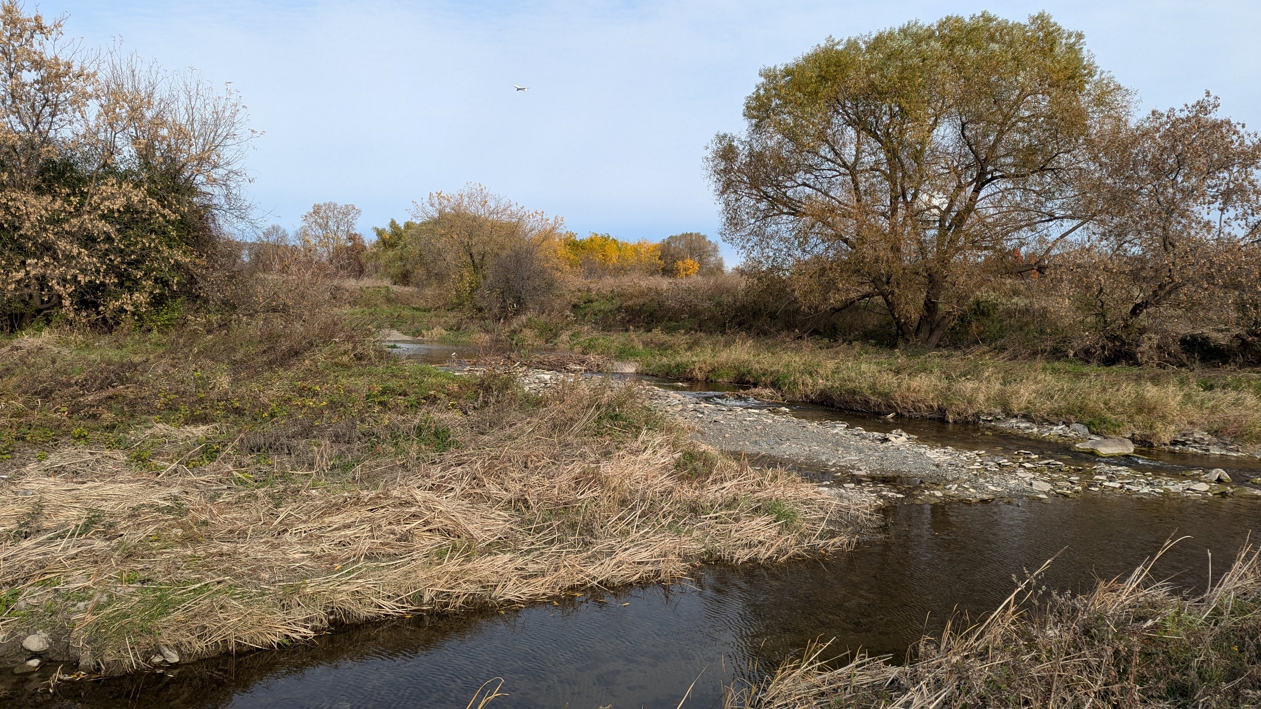
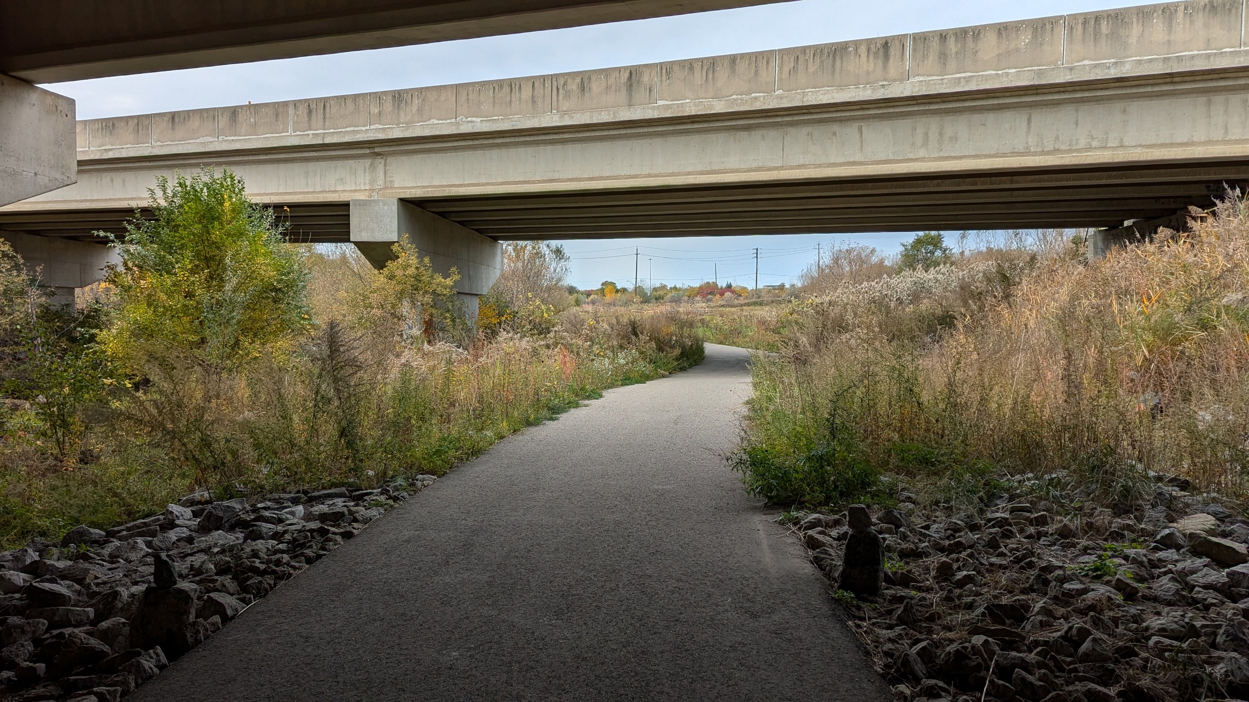
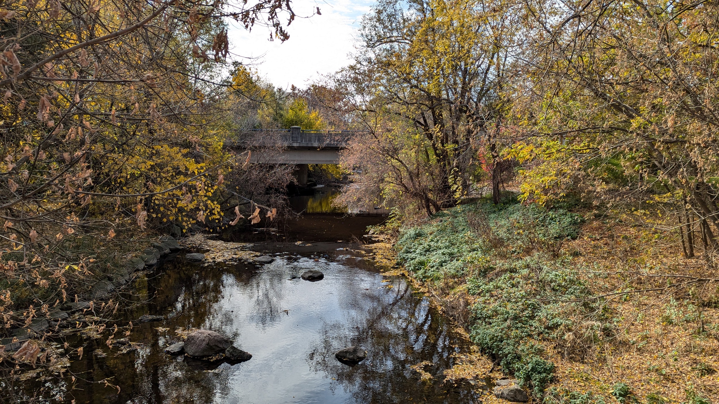
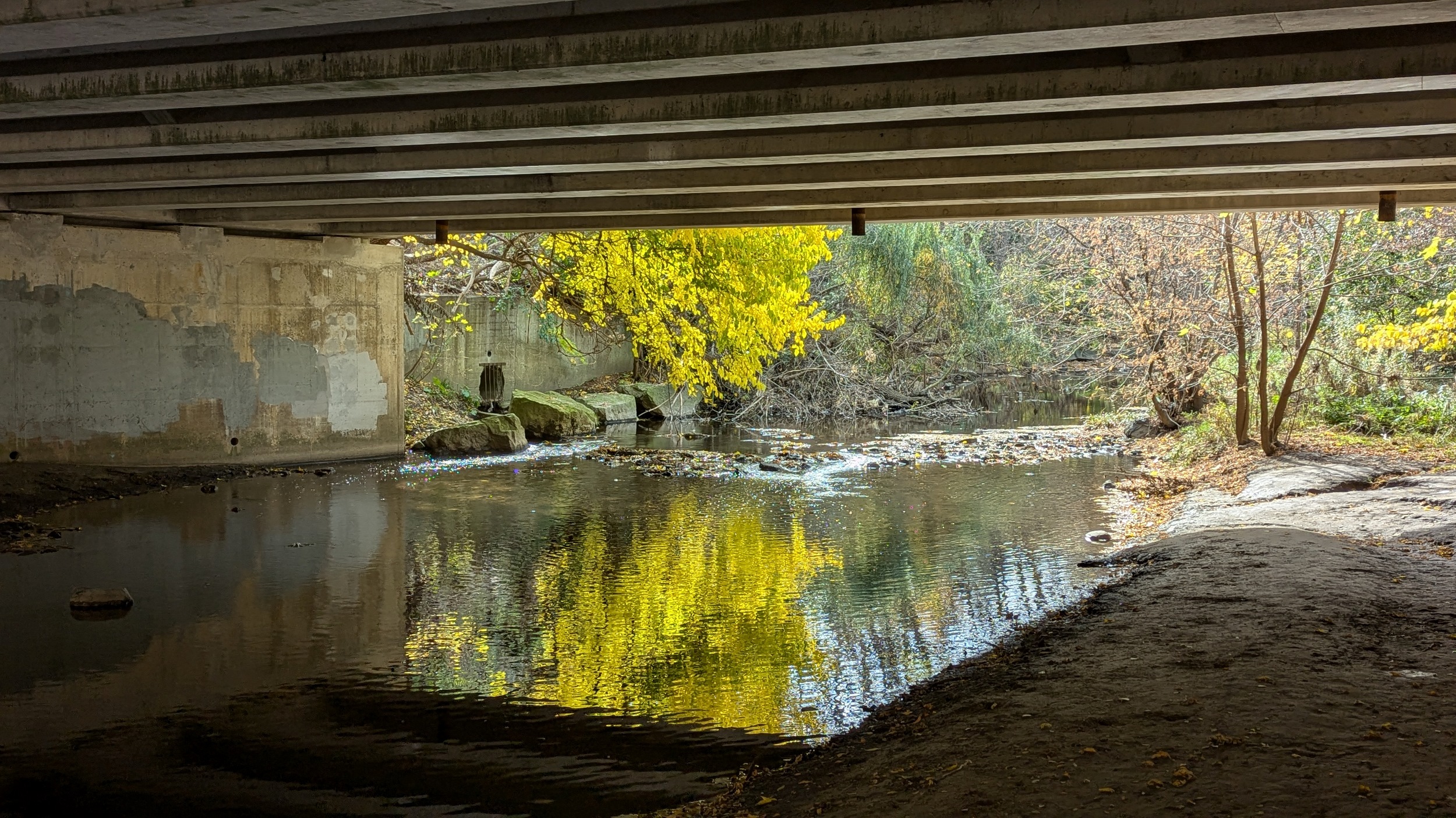
Over the creek a couple more times, and under only the third road crossing so far at Matheson. The roar of Highway 401 and Pearson Airport is getting louder, but it’s the only thing polluting this valley.


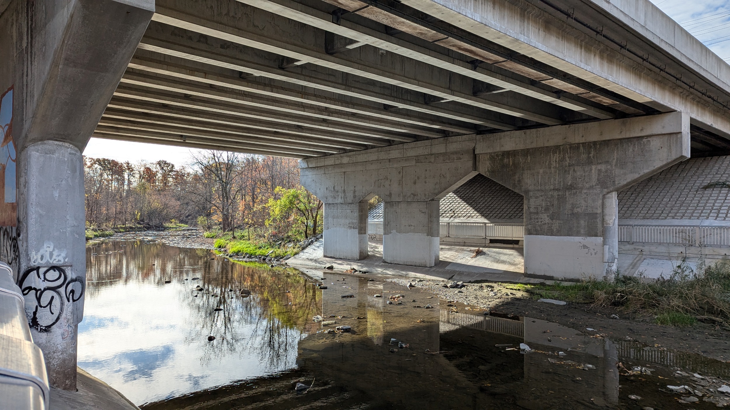
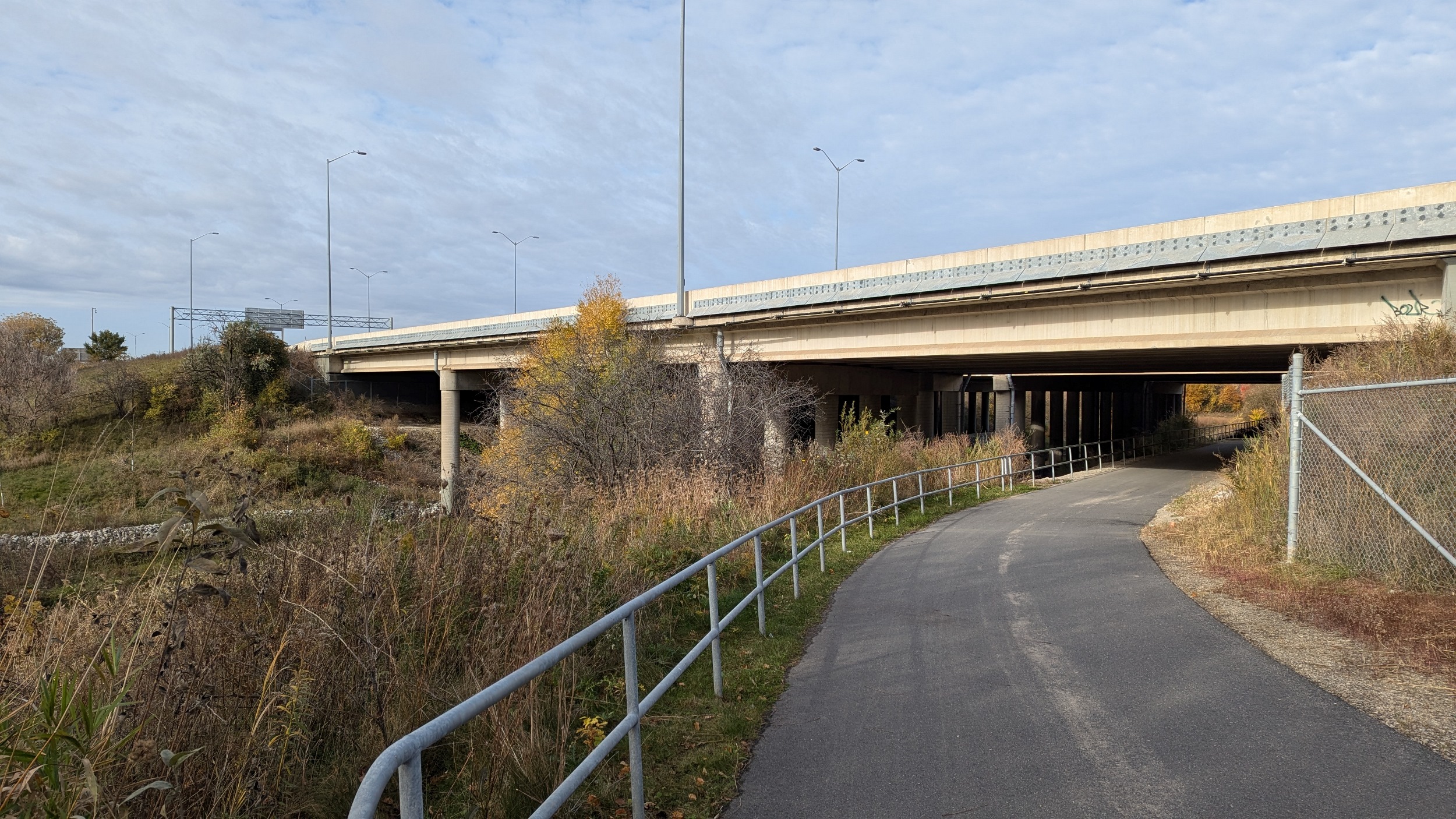
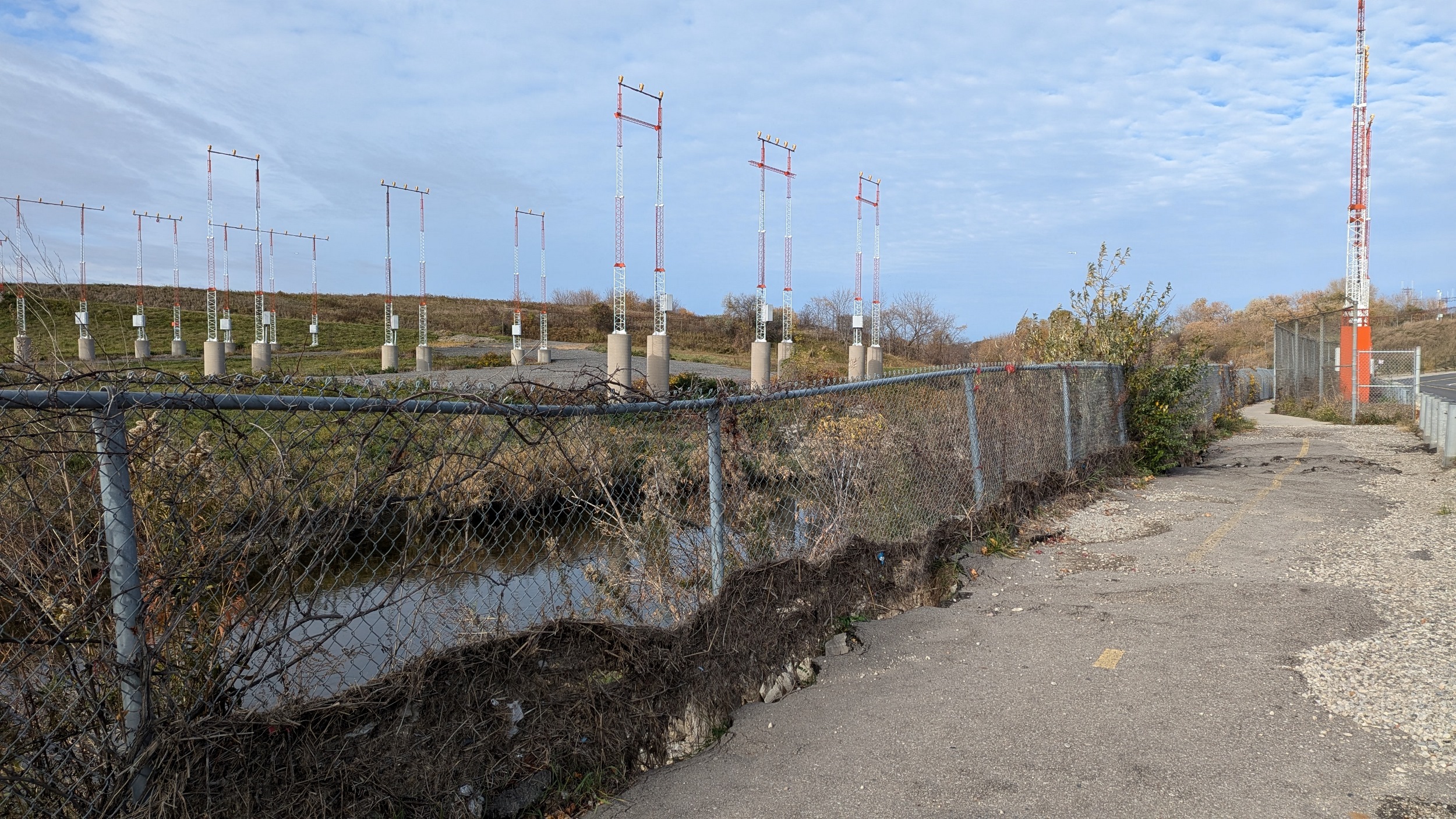
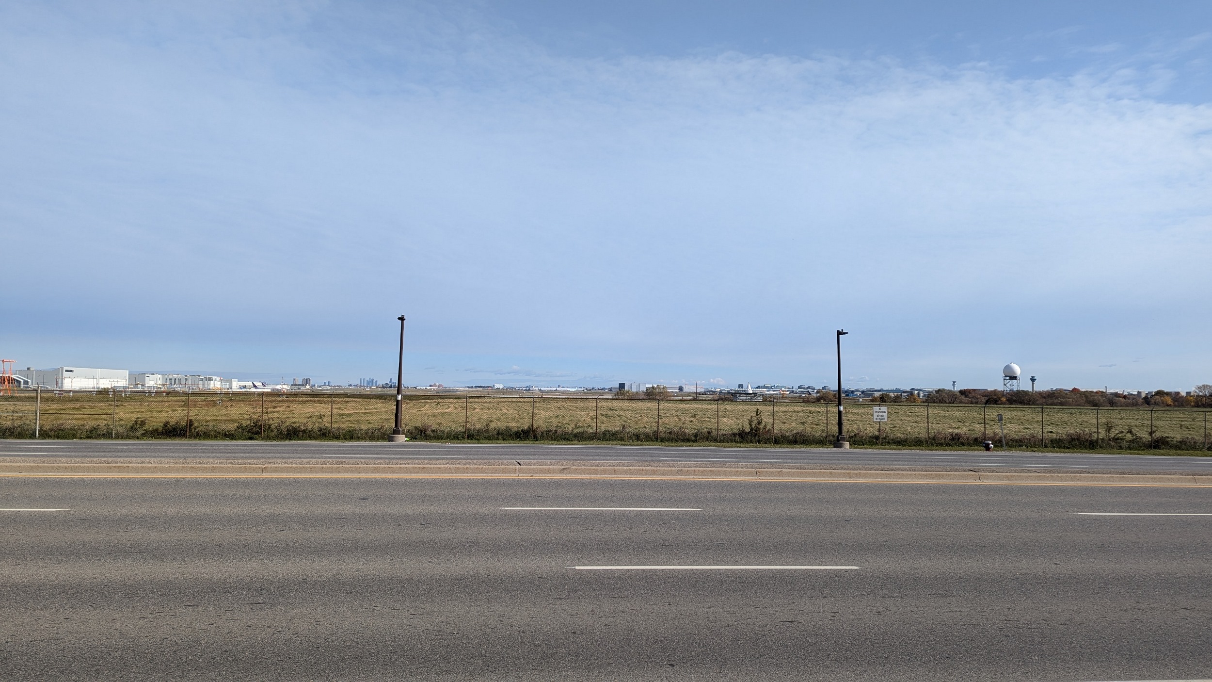
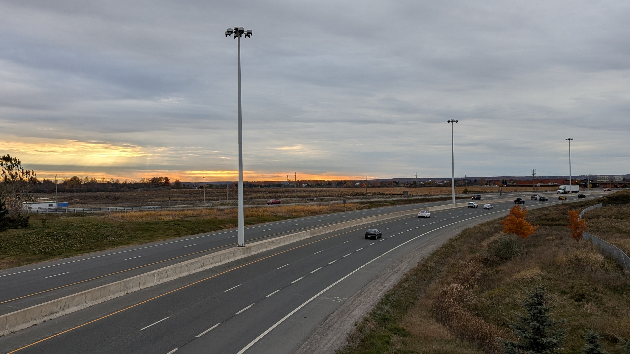
Under 18 lanes of the expressway, and past the end of Runways 06R and 06L. Highly modified territory for the creek, and a runoff impact zone. The erosion is being fixed, but that has pushed me out of the valley. Poor pedestrian traffic management once again interrupts my walk along Etobicoke Creek.

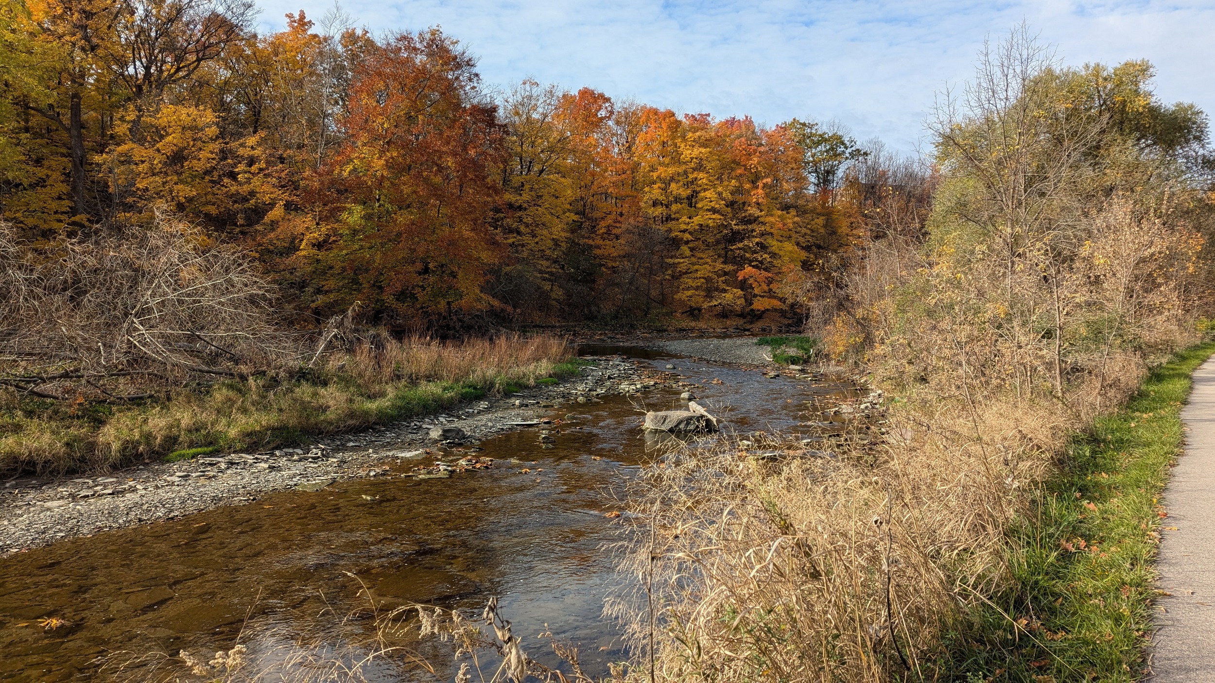
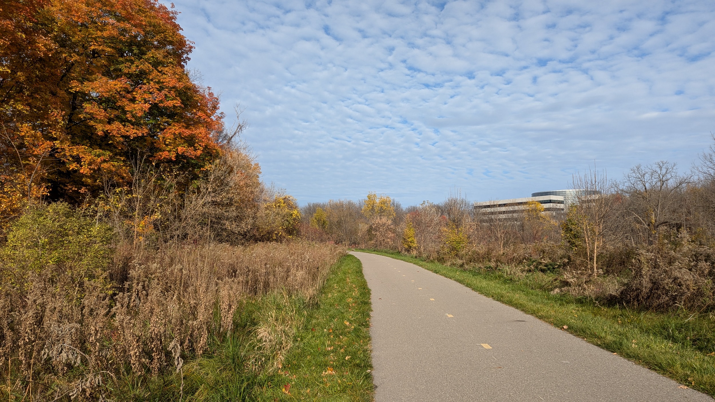
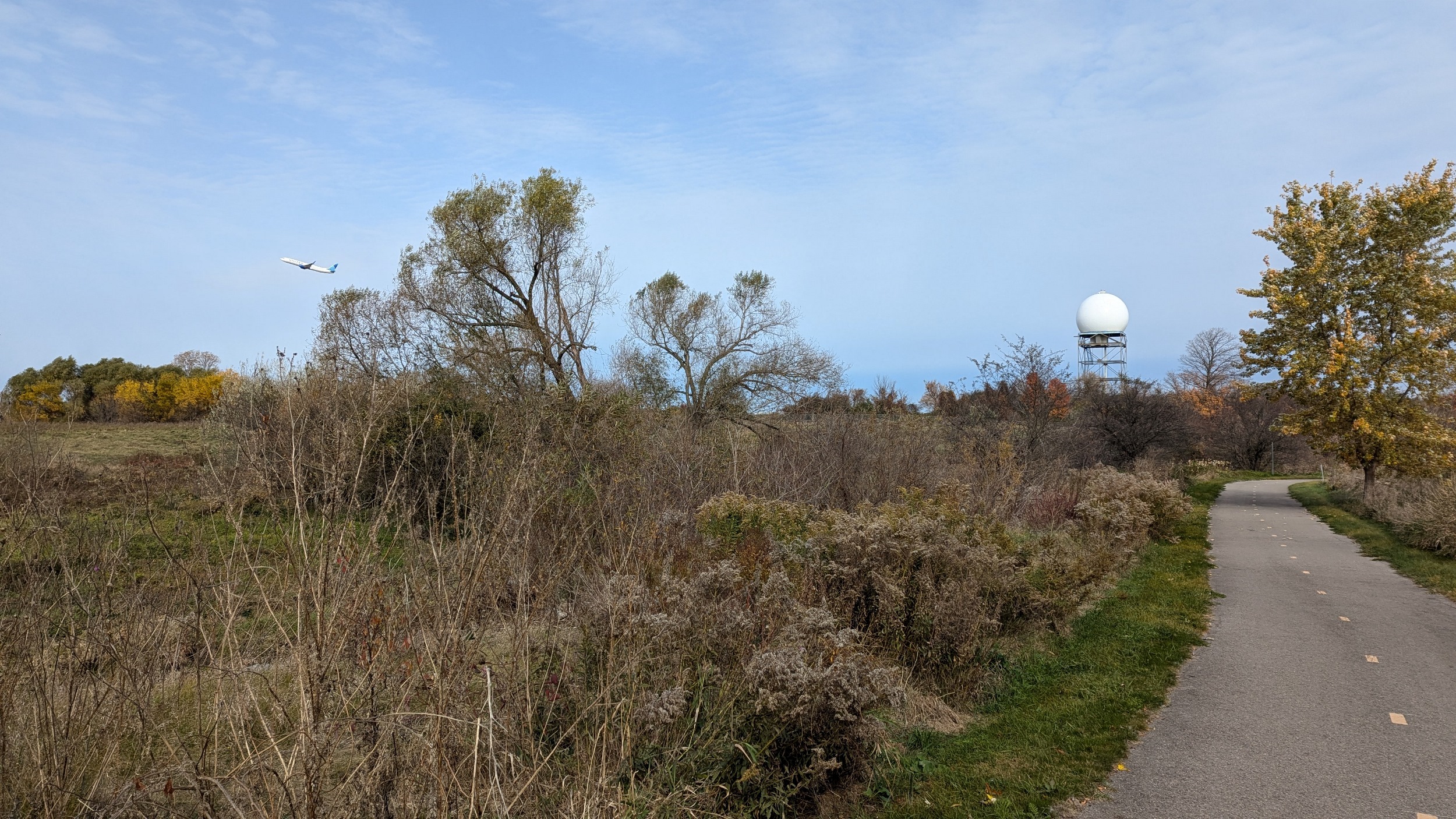
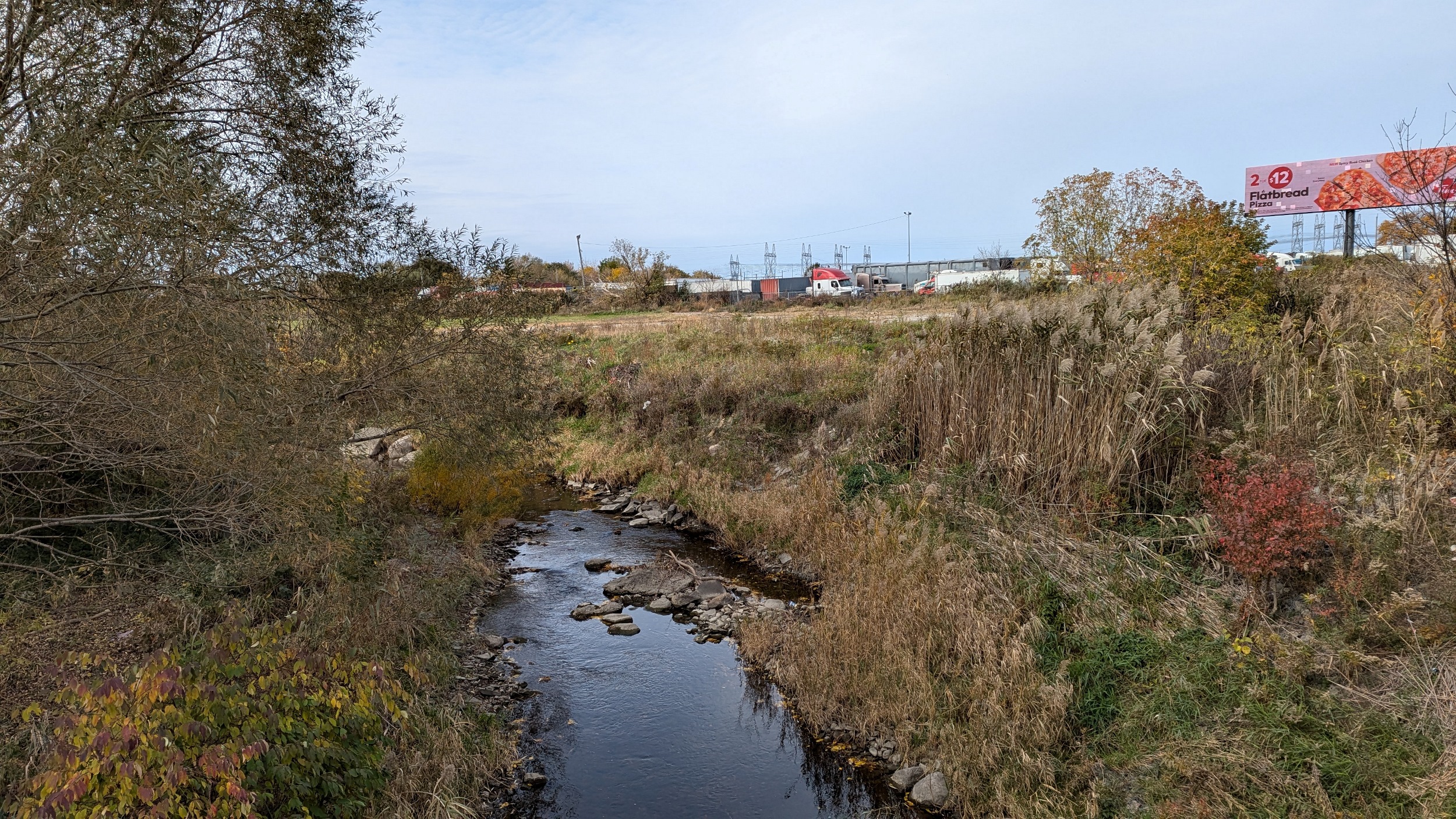
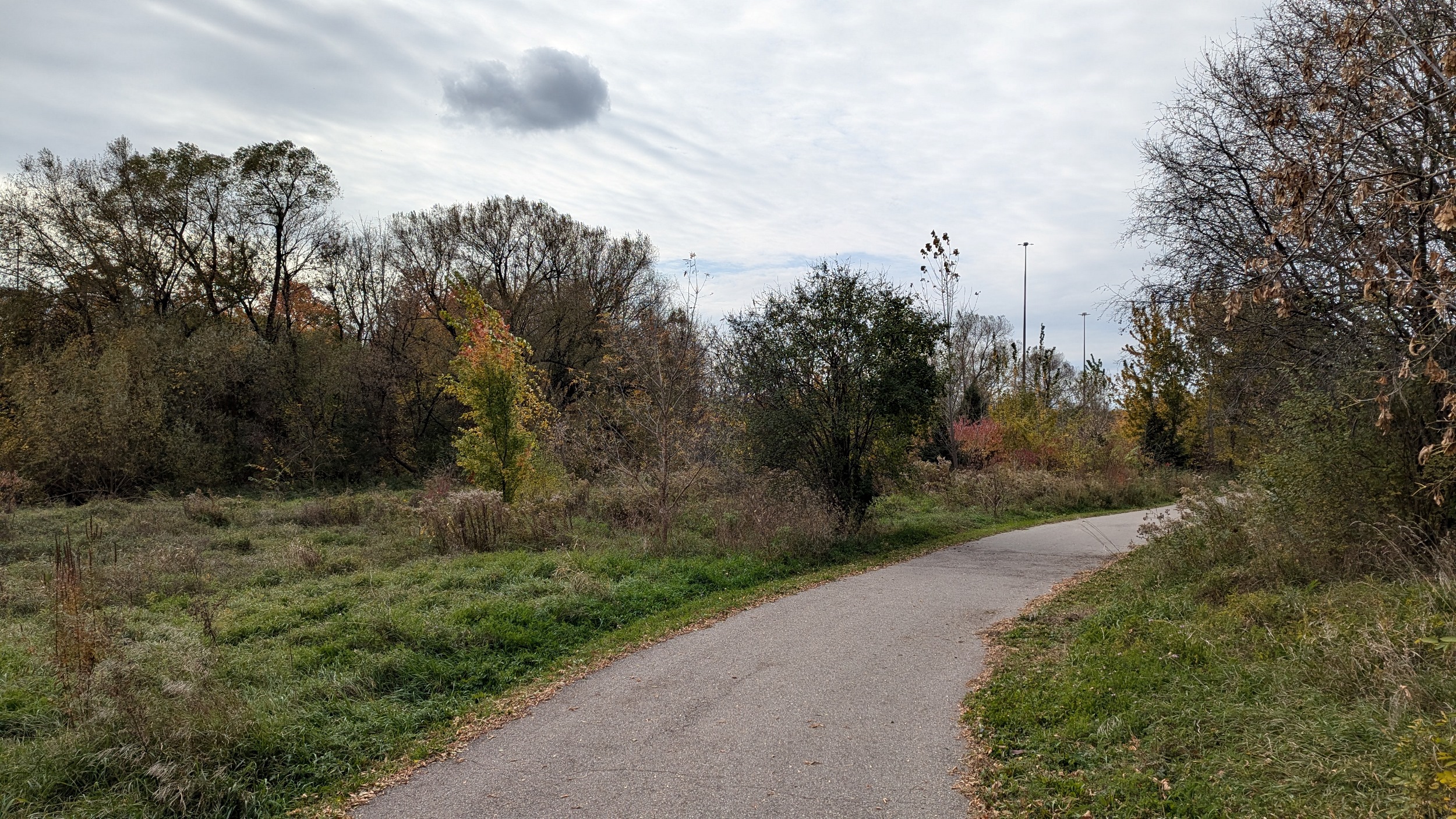
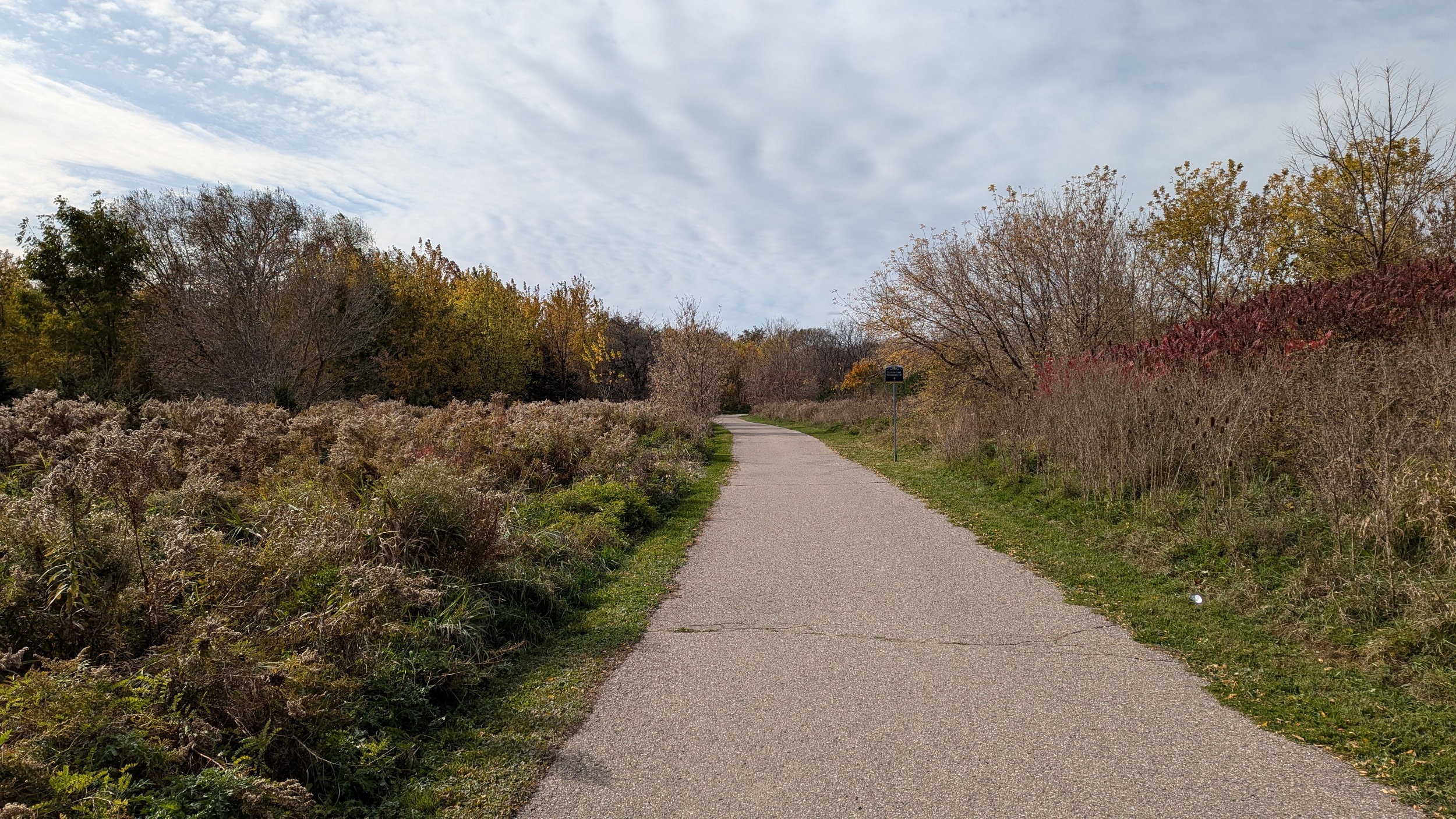
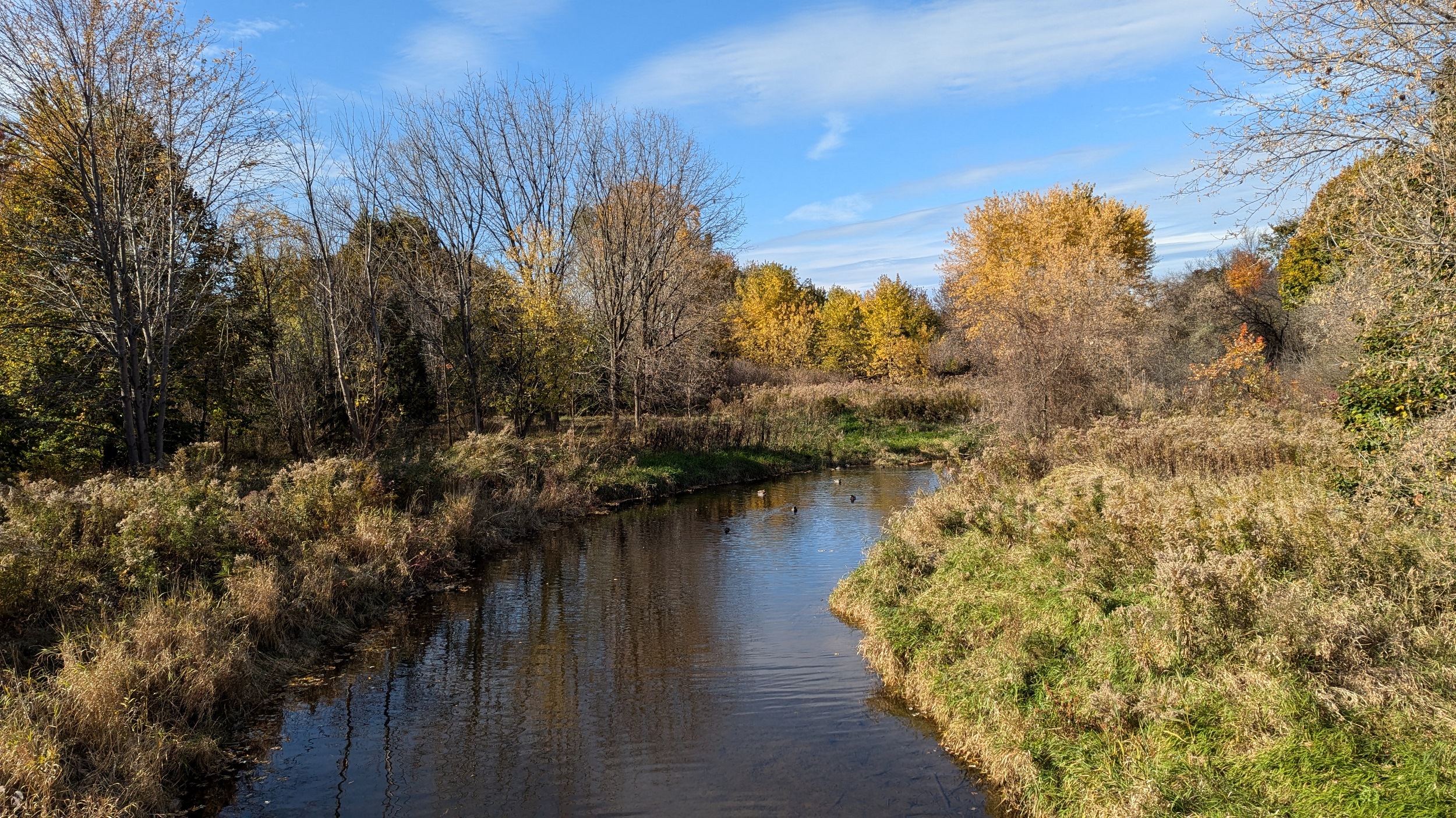
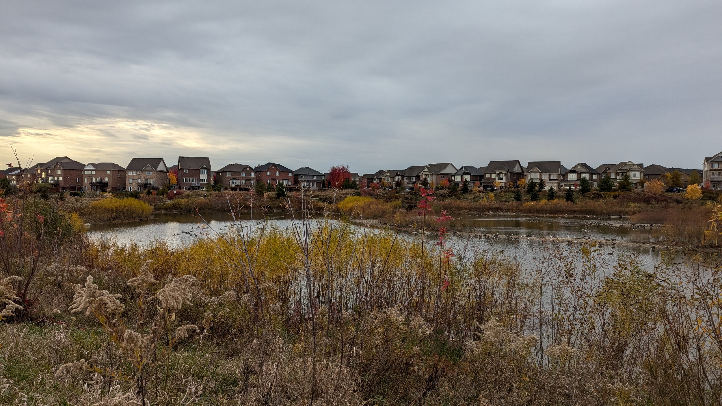
Back on track. Less cloud and more colour would make these airport valley lands pop a little more. Eventually I get some more sun, and you go over the creek at Courtneypark.

Further along Pearson’s west edge, along the creek. As the trail bends westward, you cross a bridge near the confluence with a tributary, and start following that instead of the main branch. Good views of departures from Runway 23.


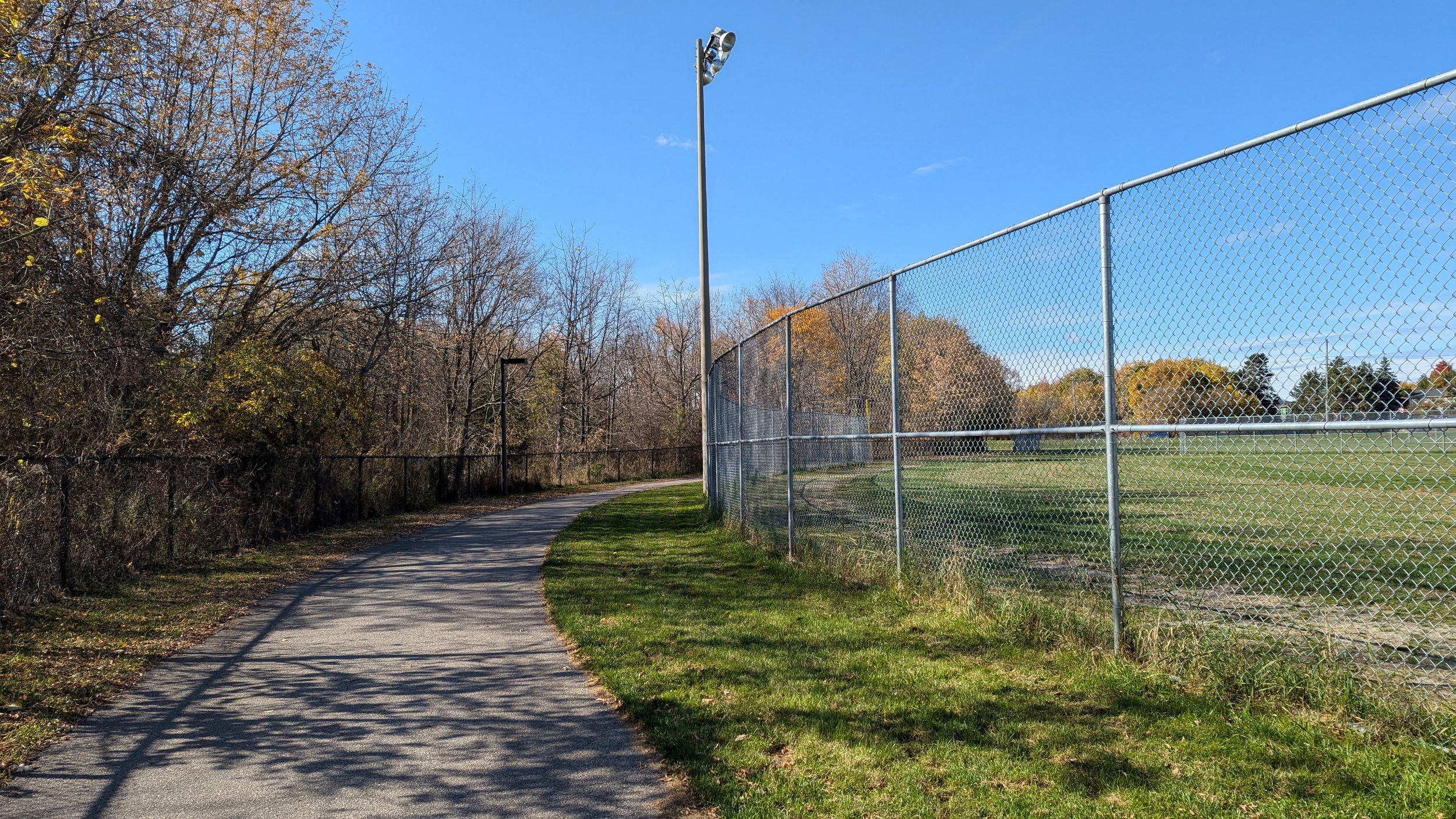
After a long detour along Dixie Road, we meet the creek again north of Derry. That said, there’s no trail here. You have to backtrack to Derry and detour again to Cardiff Boulevard to get back on a trail. Then around baseball diamonds before you’re creekside again.


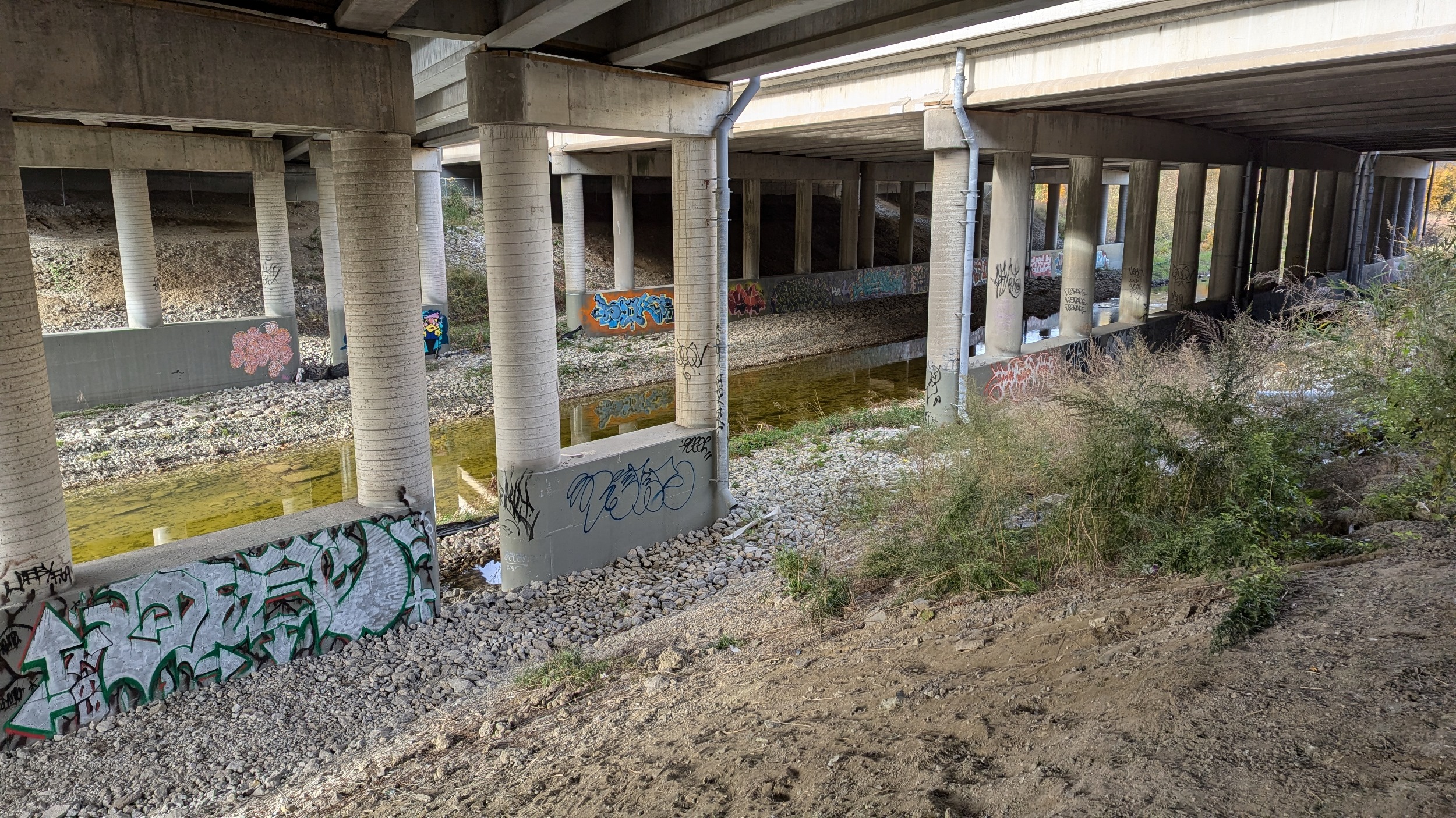
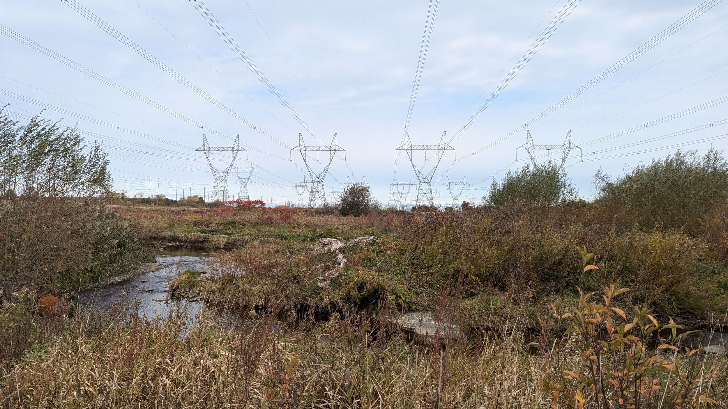
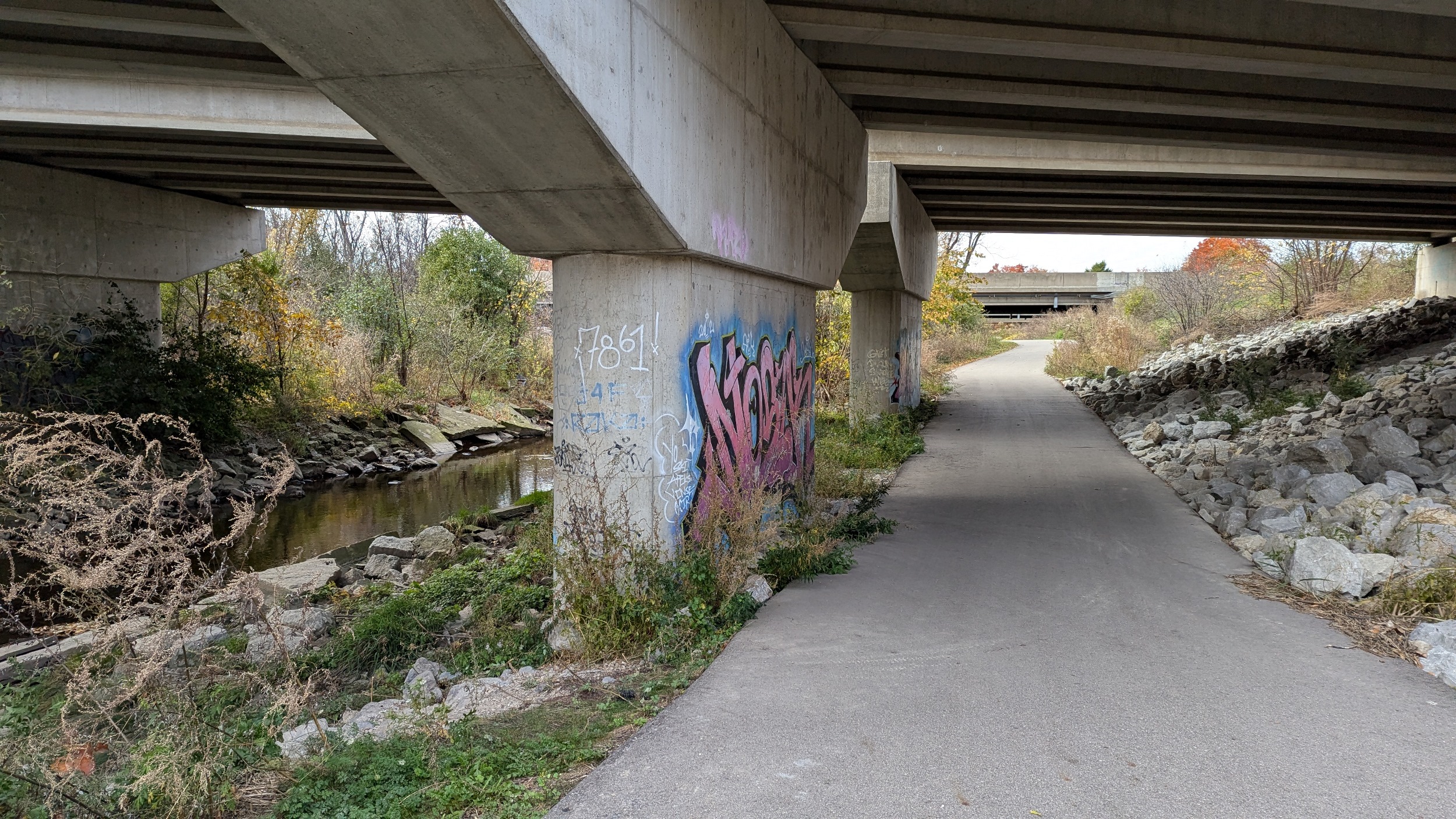
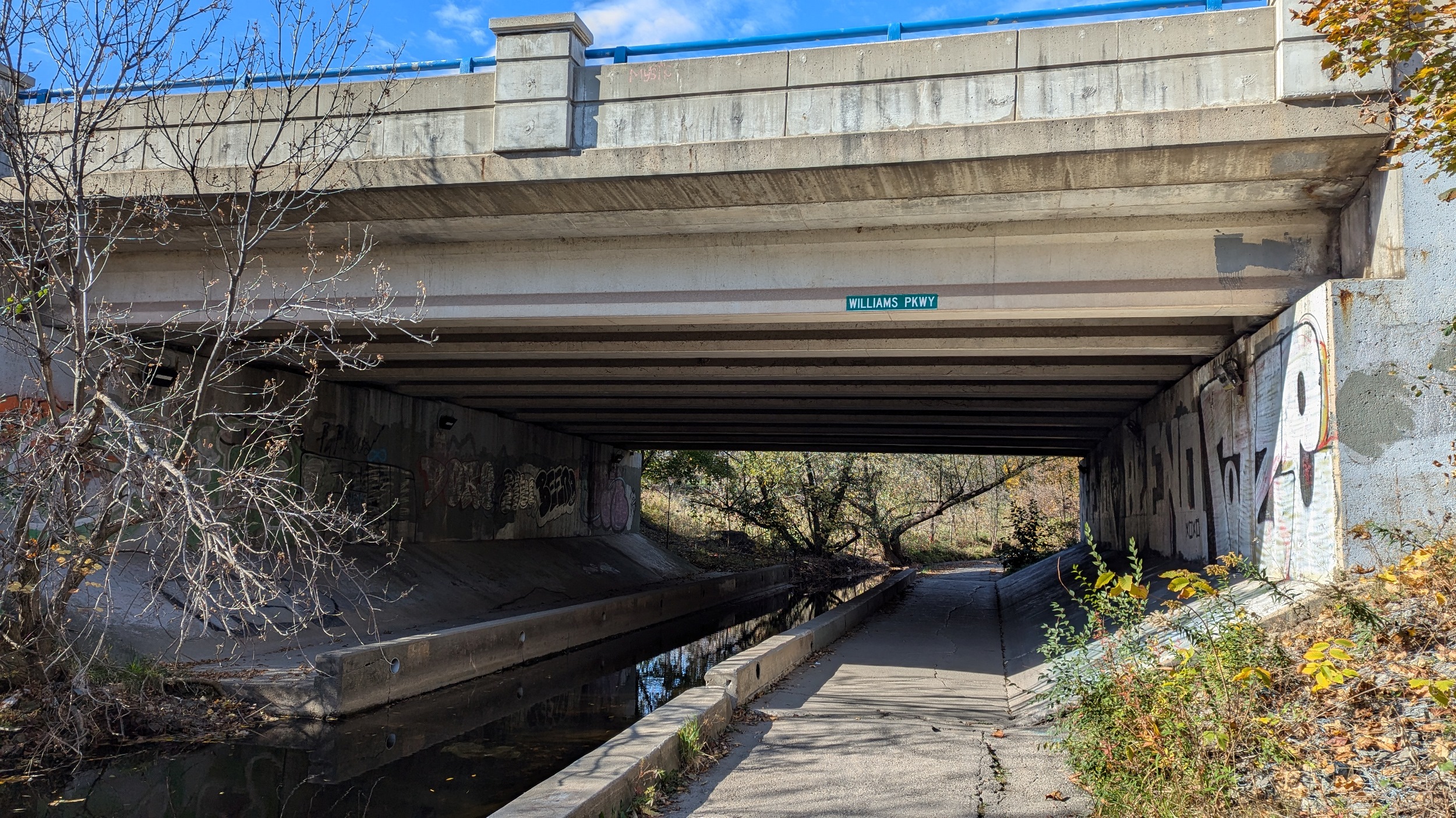
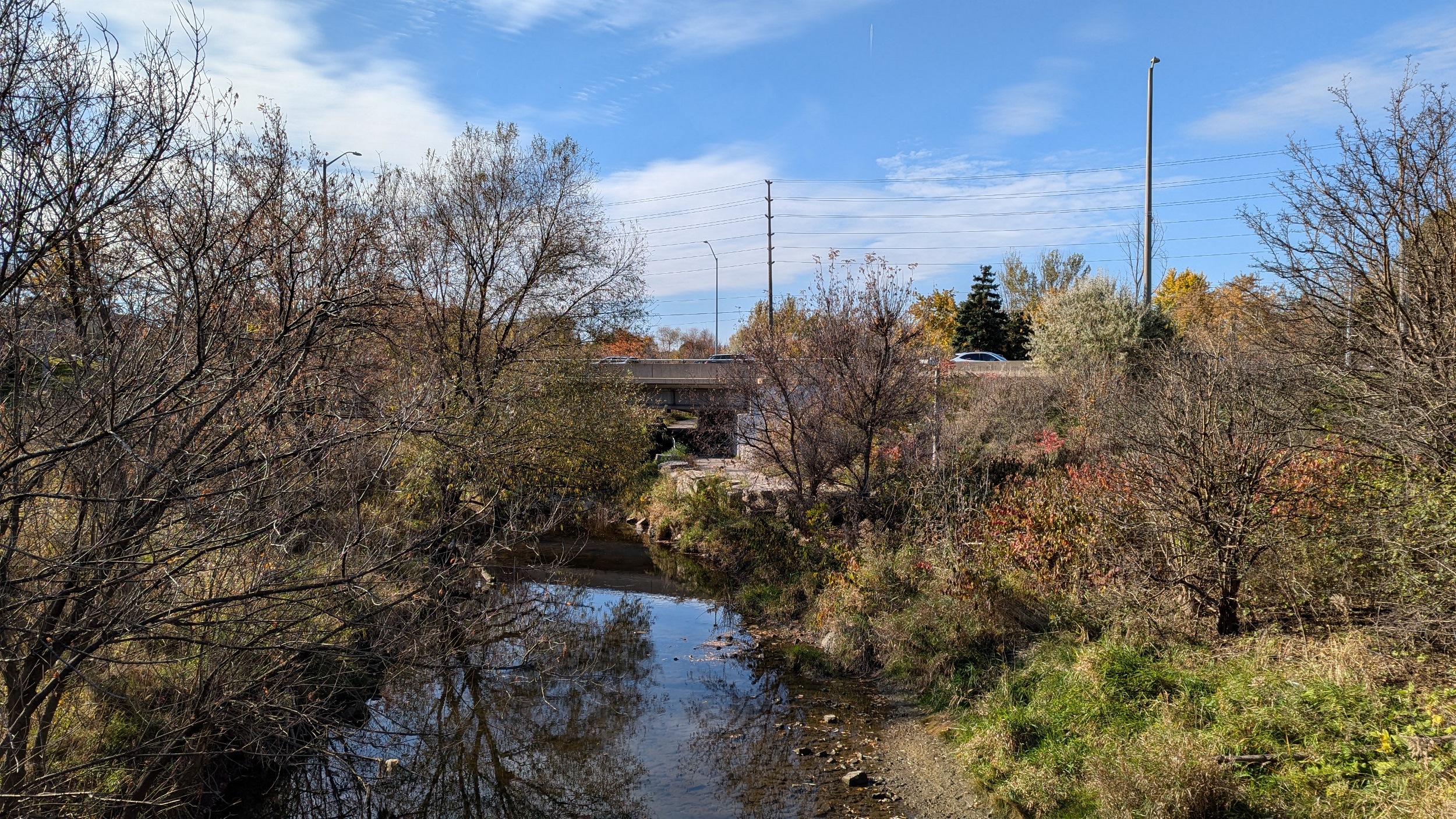
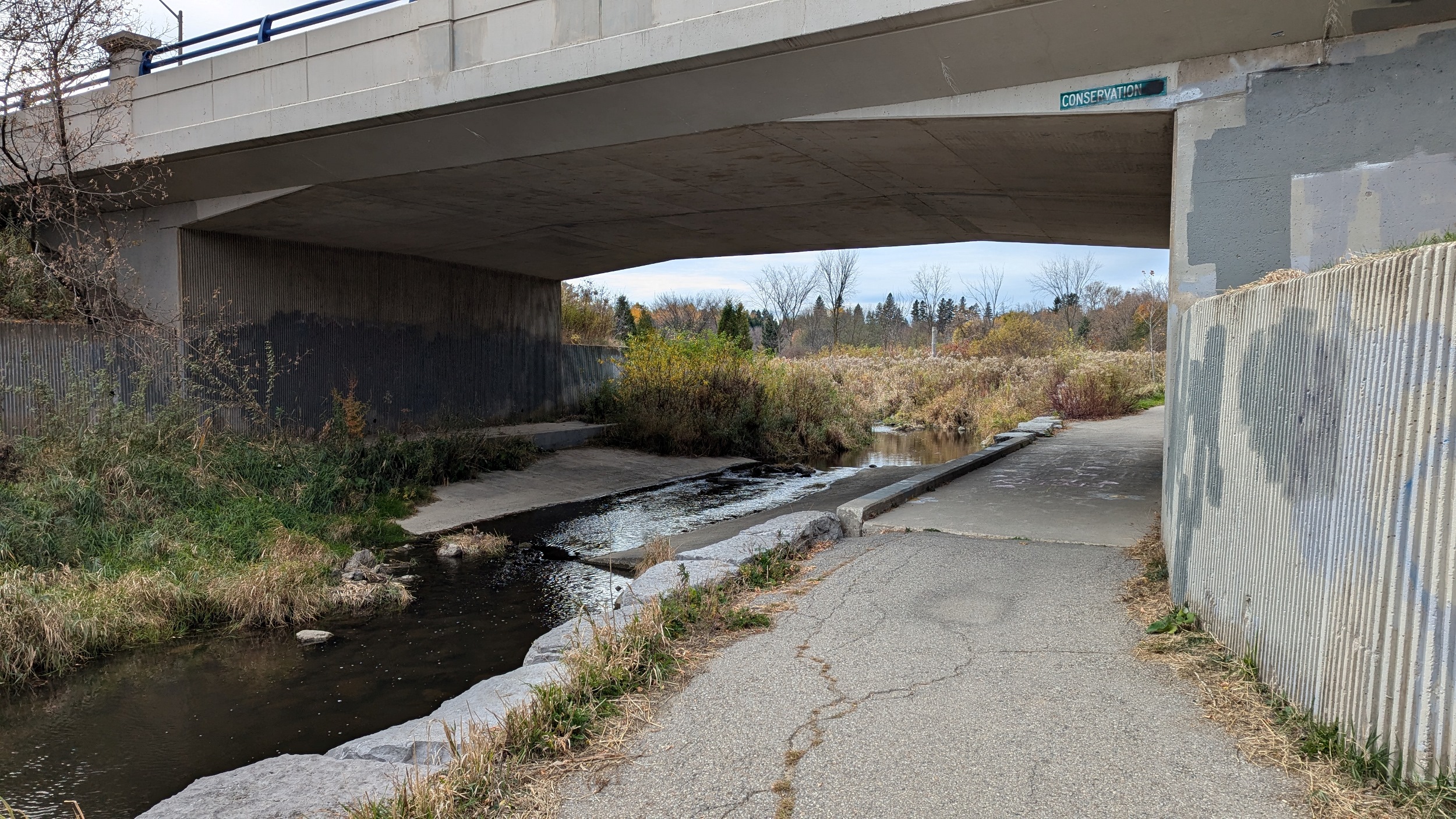
Through a major 500kV hydro corridor, across the creek, and then under Highways 407 and 410. It’s rare to have this kind of connectivity across provincial facilities, let alone across municipal borders.
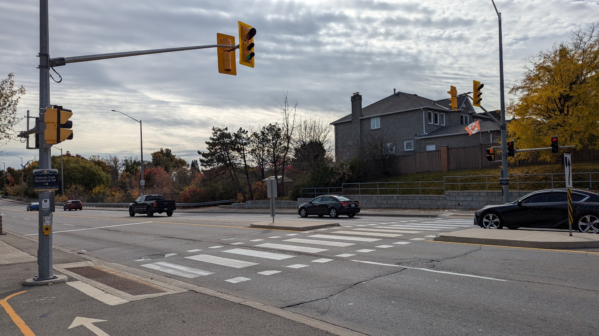
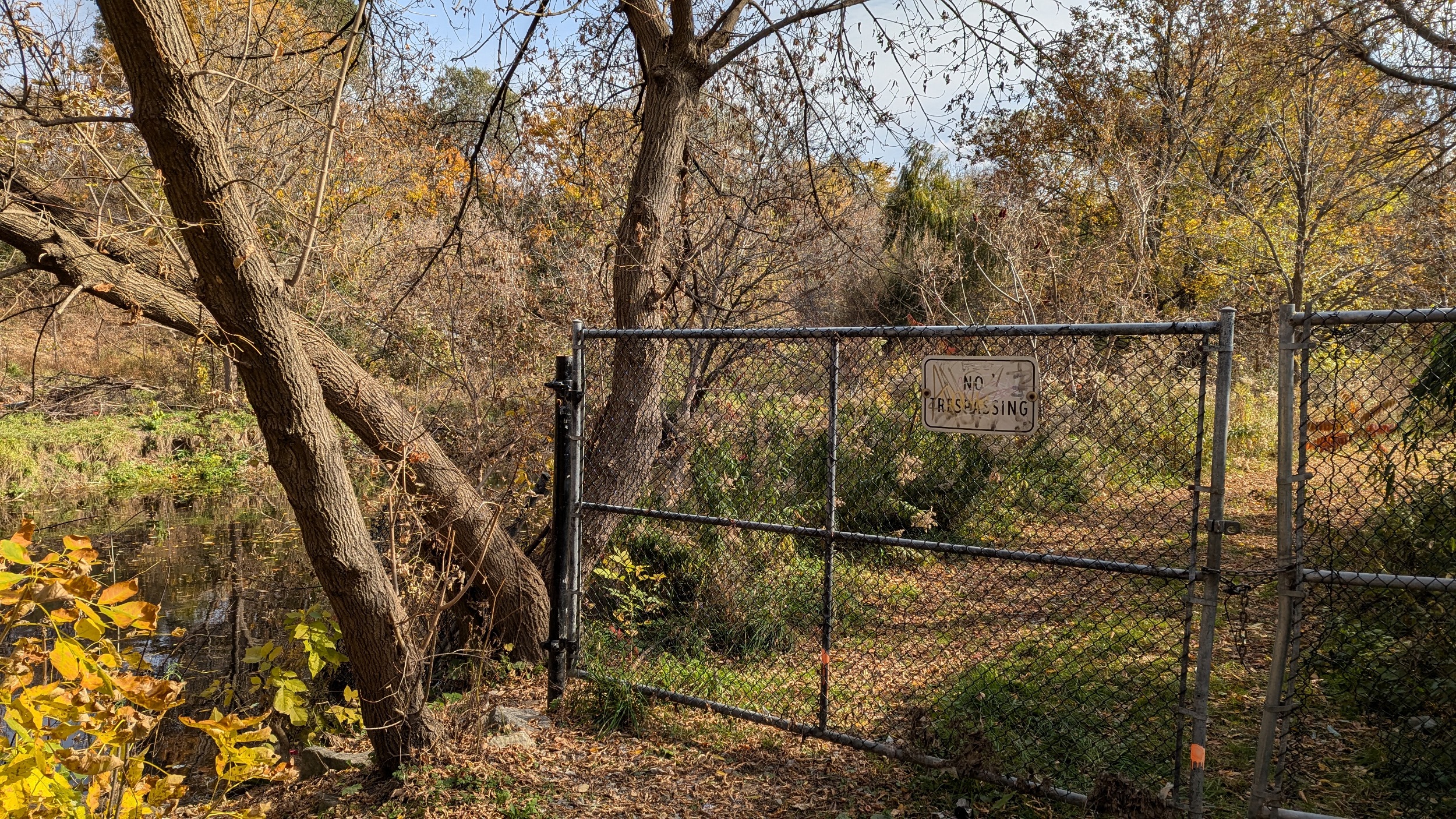
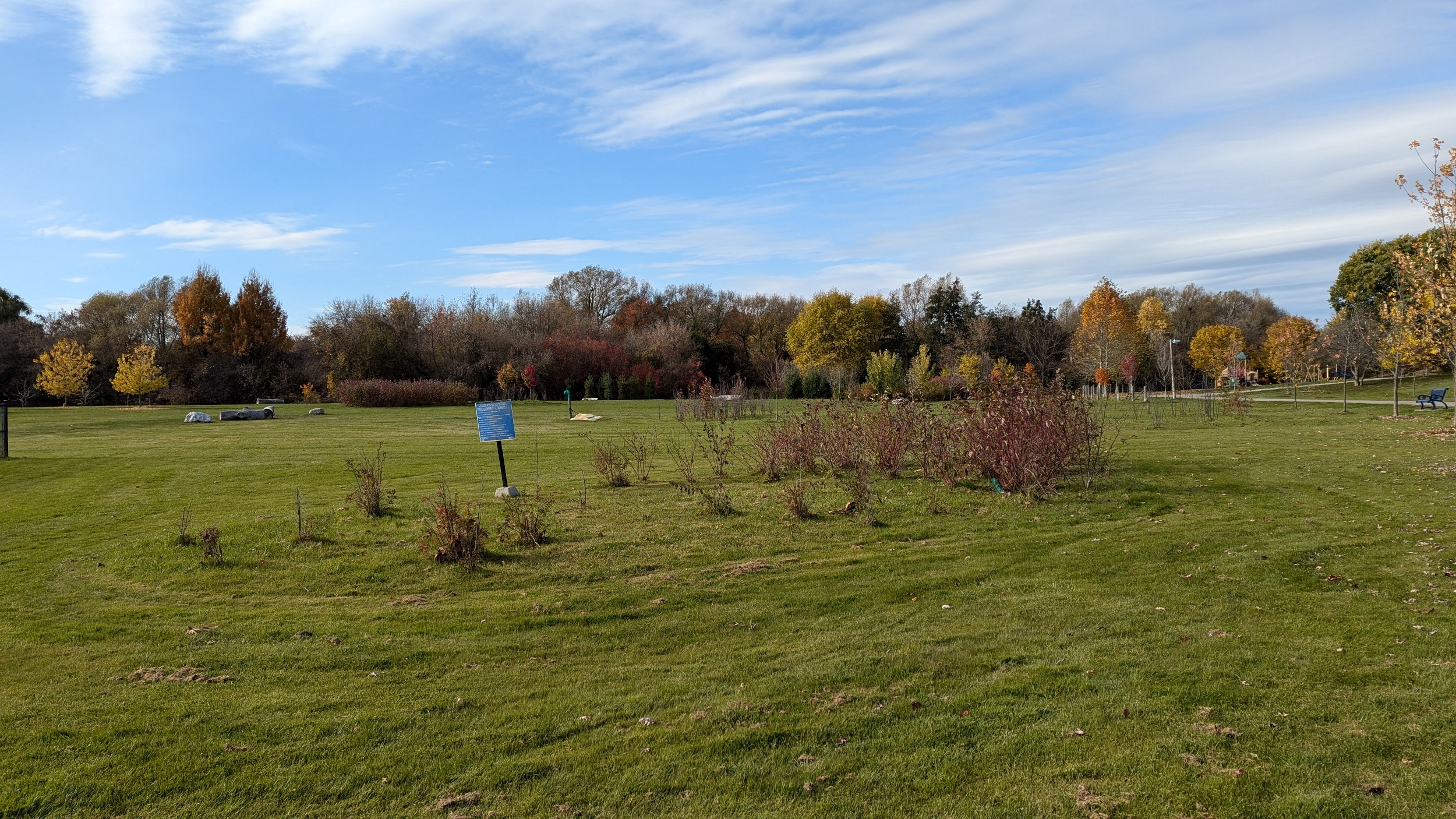
Now into Brampton, it’s a few more kilometres until Kennedy Road, where you’re led out of the valley, and the creek is fenced off from public access by the Peel Village Golf Course. Just as the clouds start breaking too, go figure.
After passing the club house, you dip down an unacceptably steep side trail, enter a cul-de-sac, and get back to the creek at Steeles Avenue. This is such a wasted space, morally unacceptable restriction of public land.
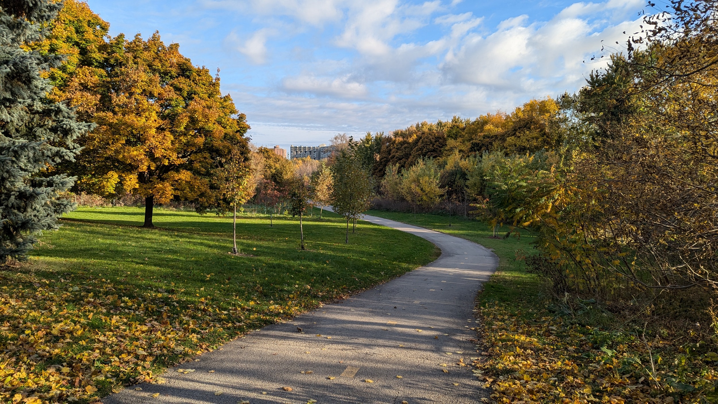
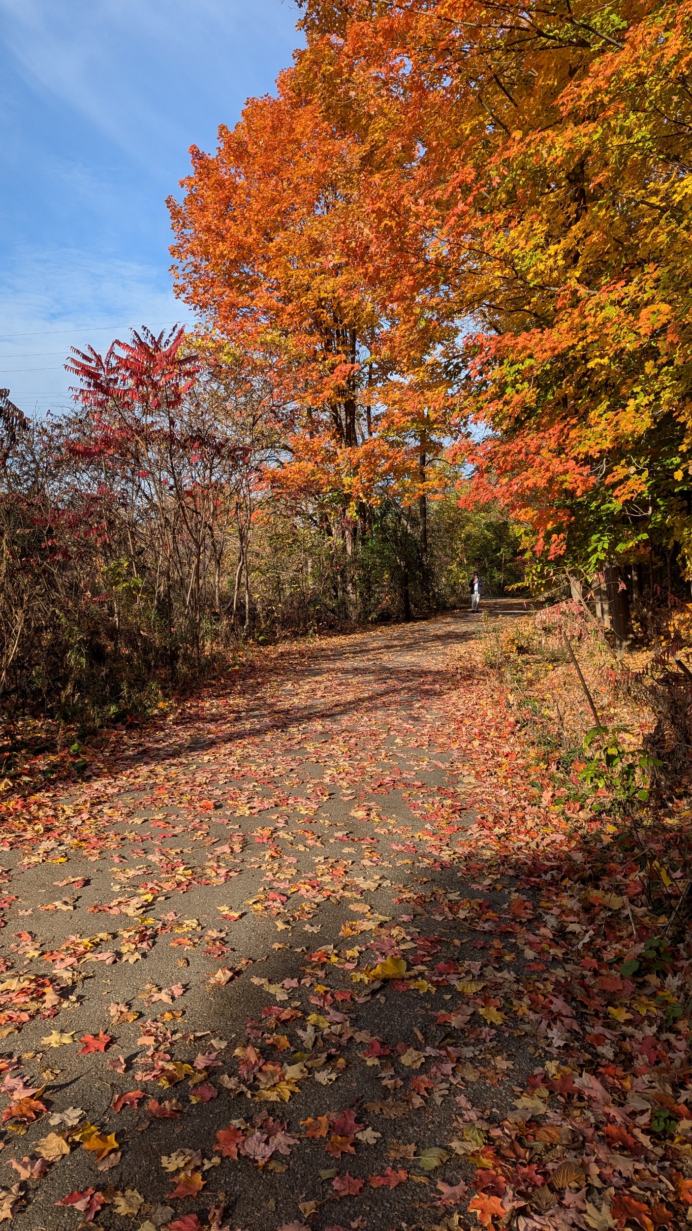
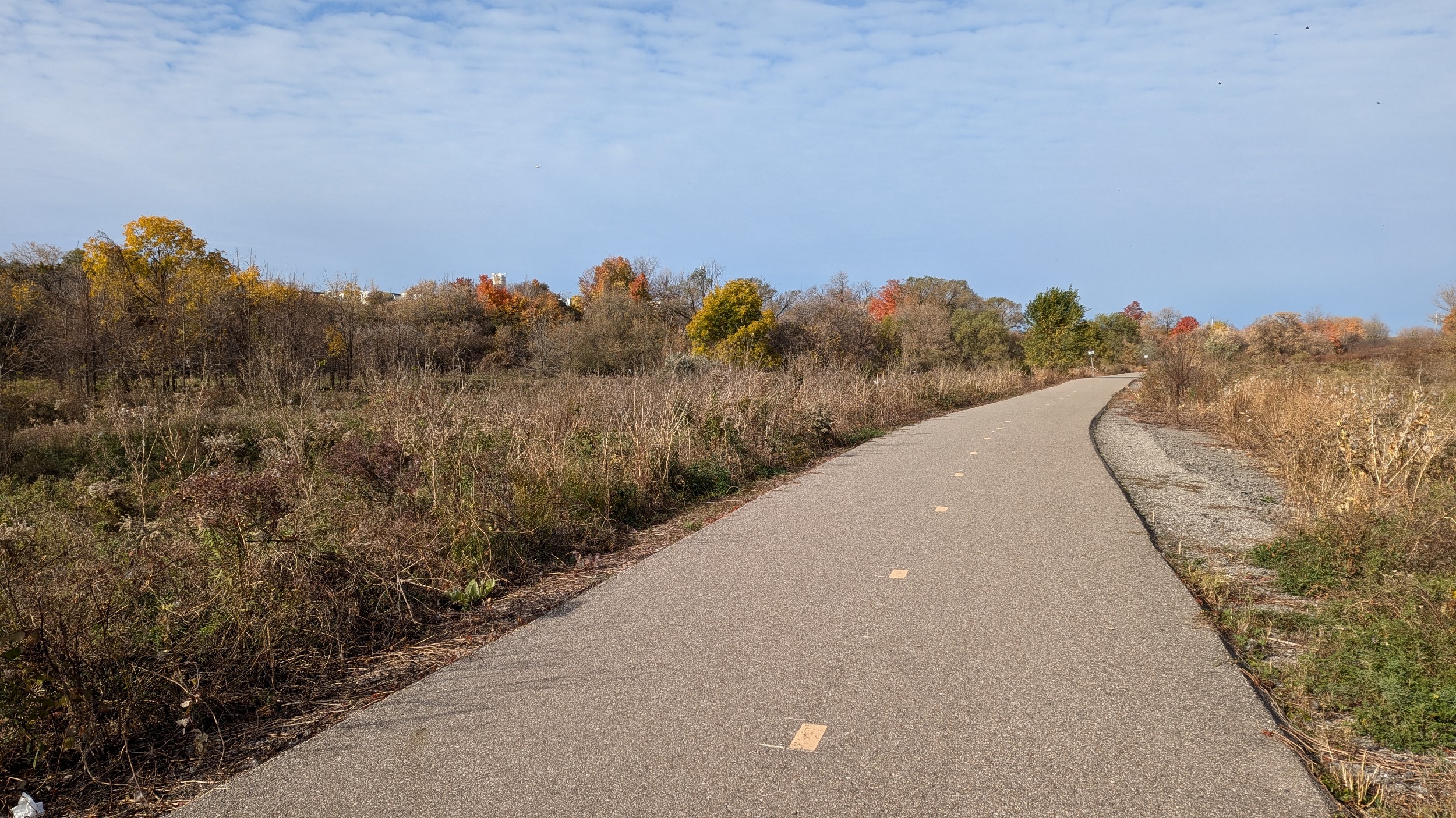
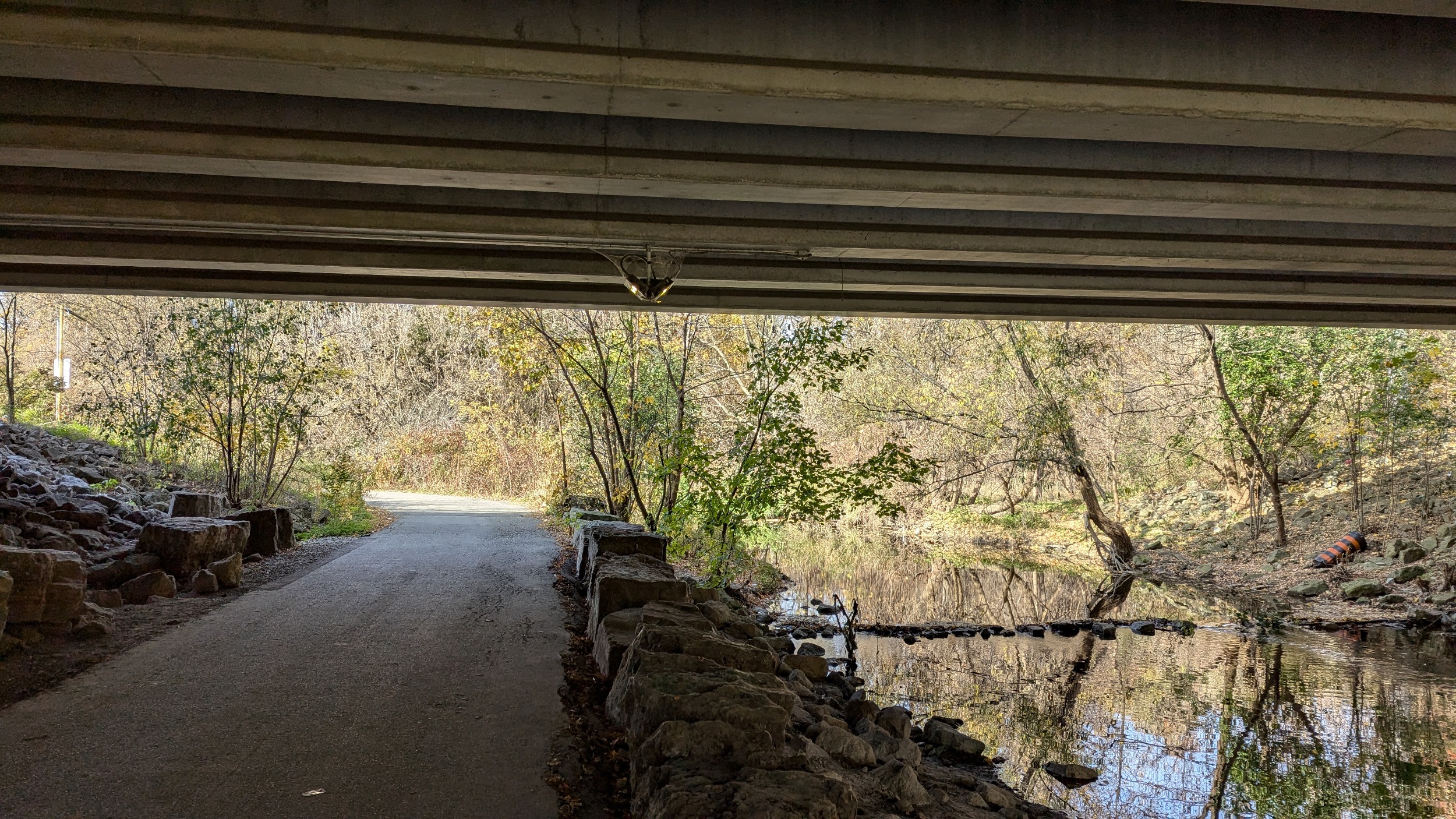
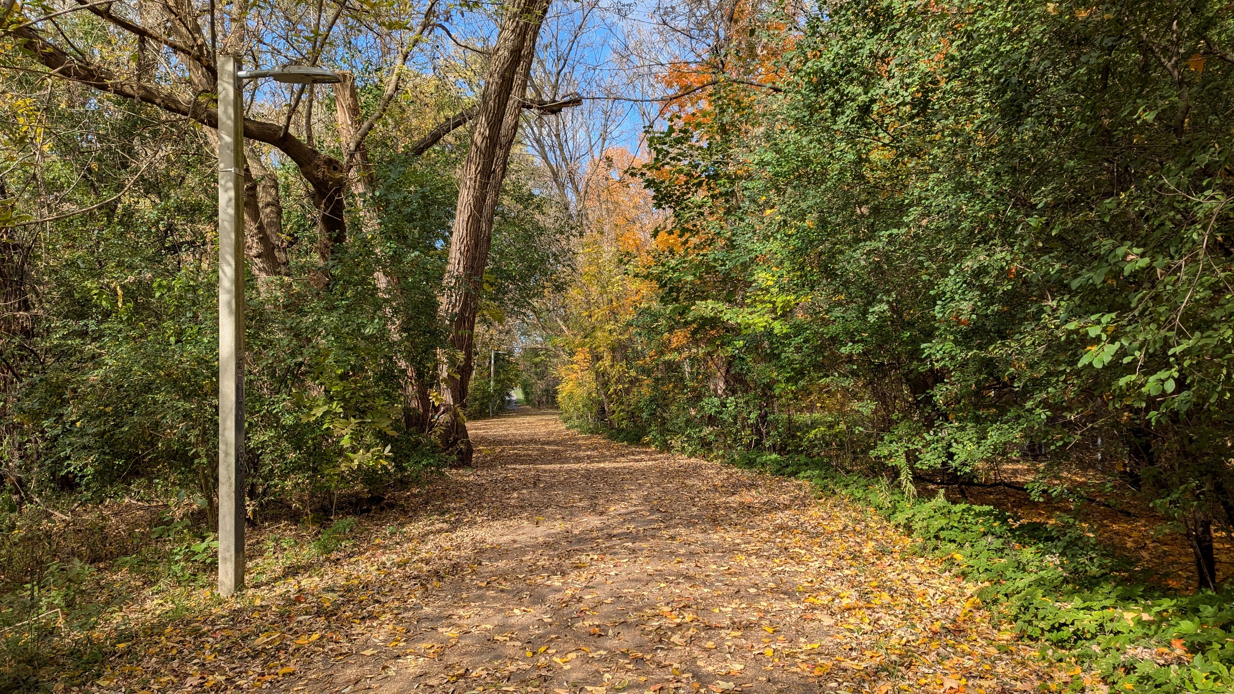
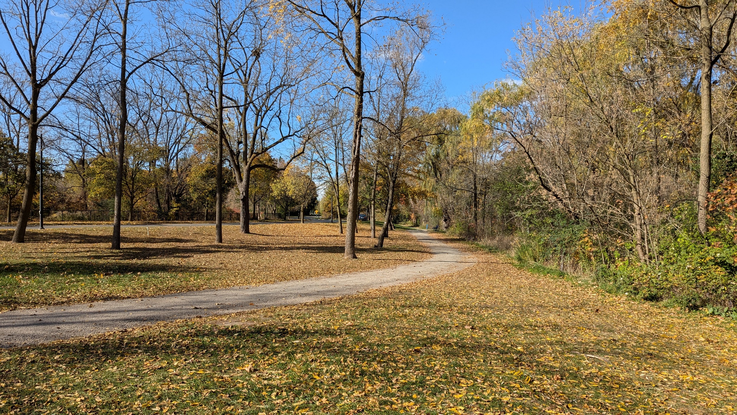
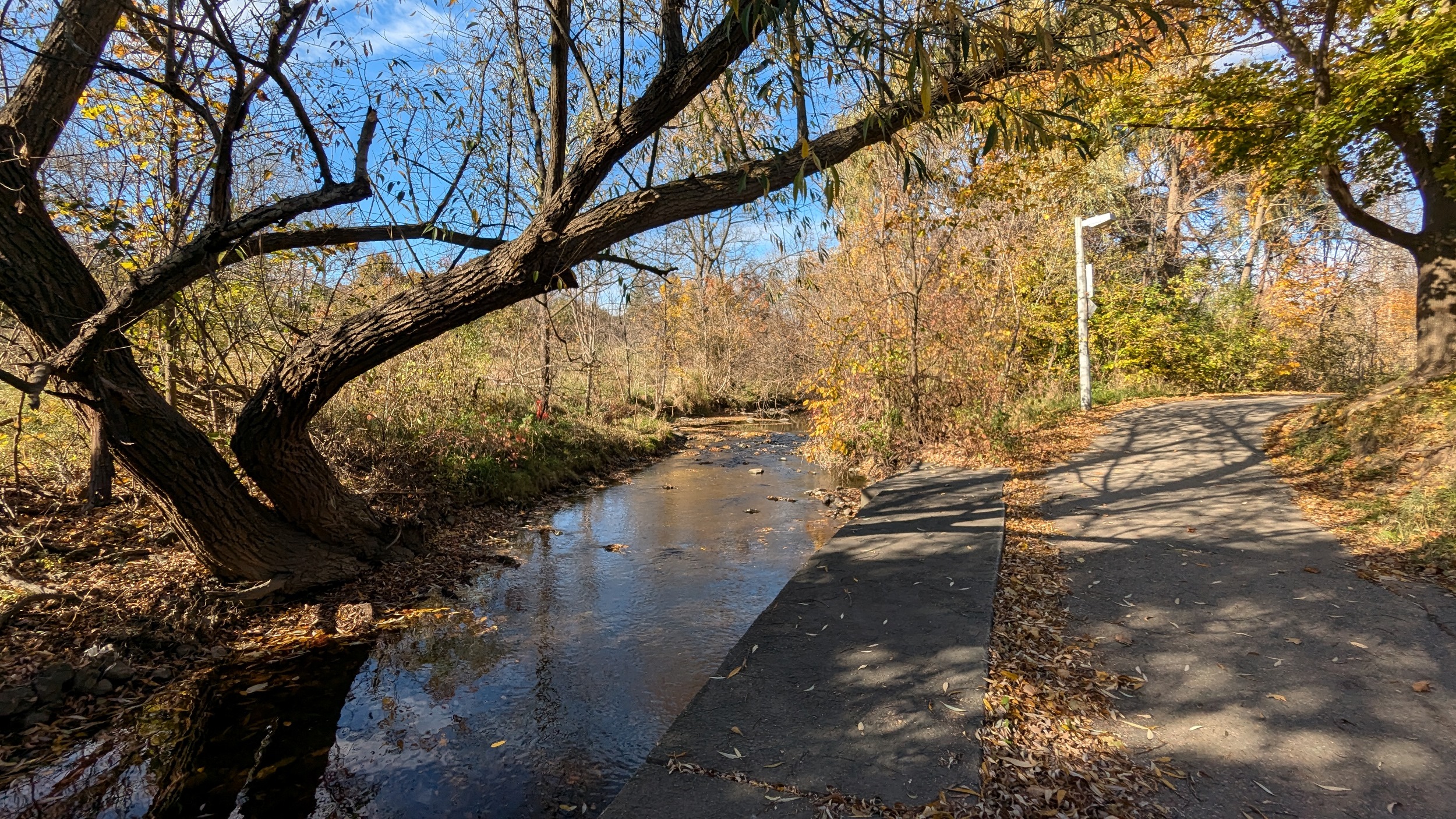
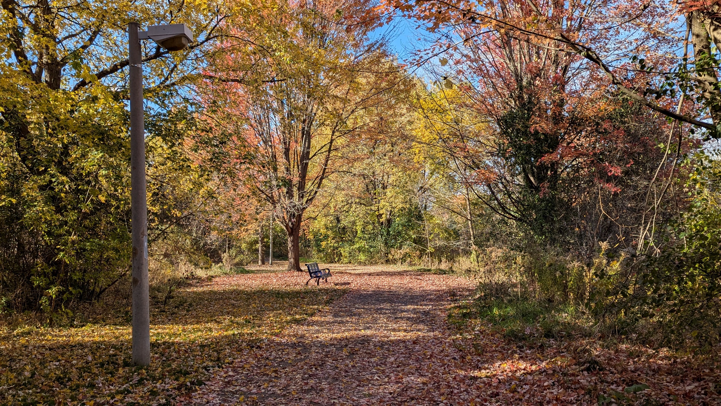
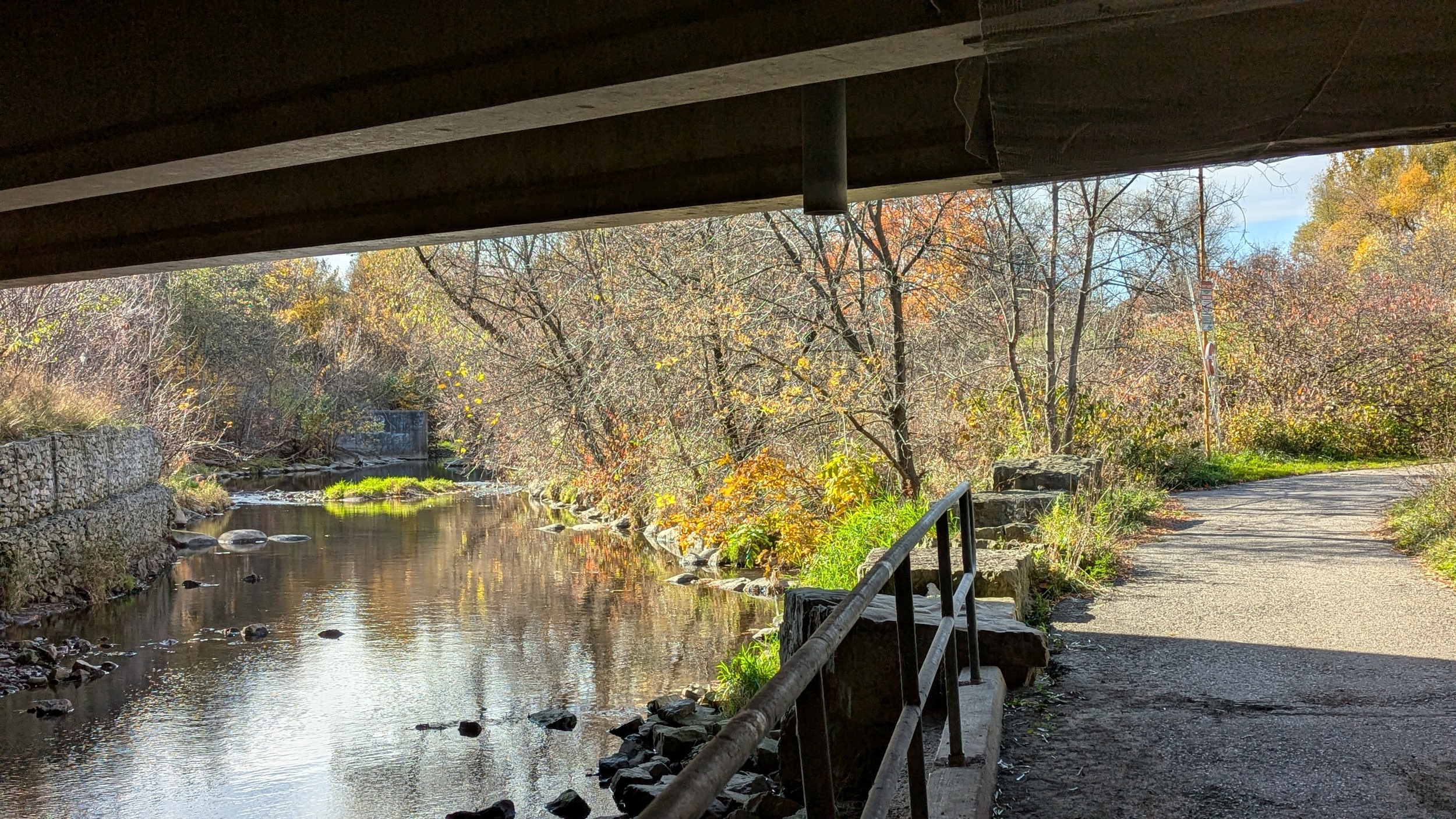
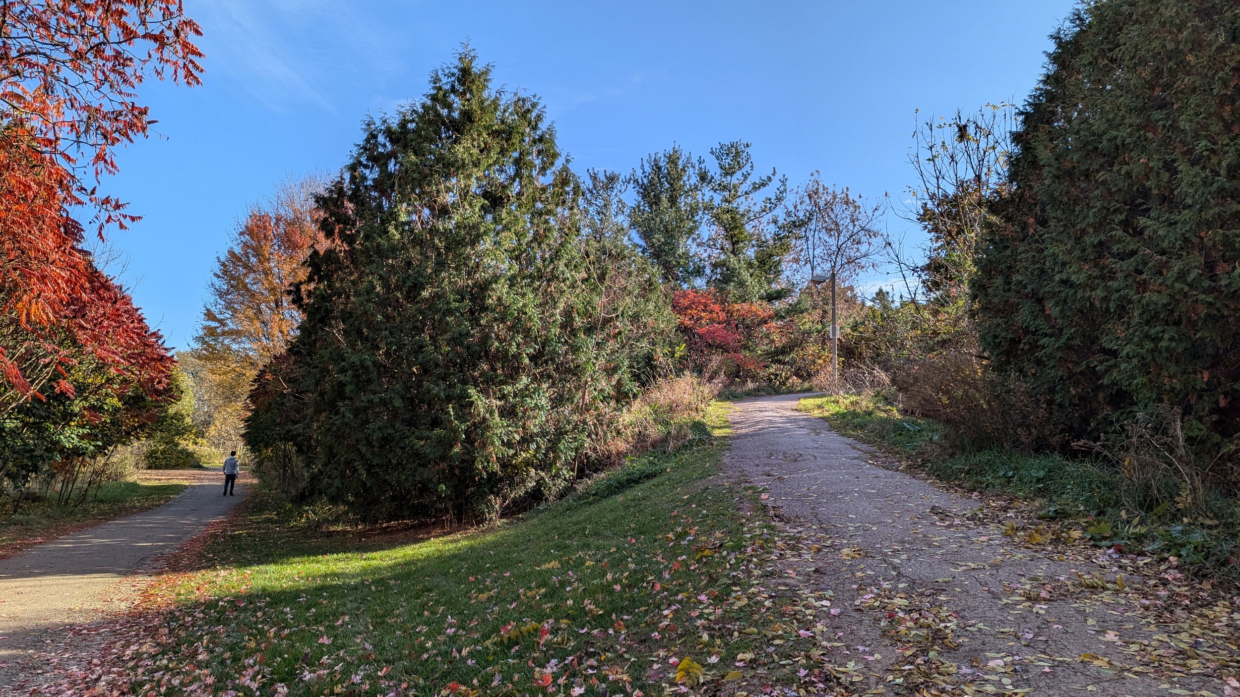
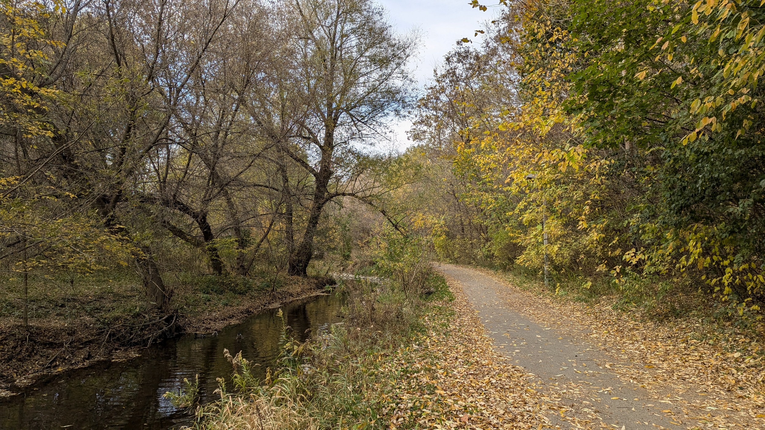
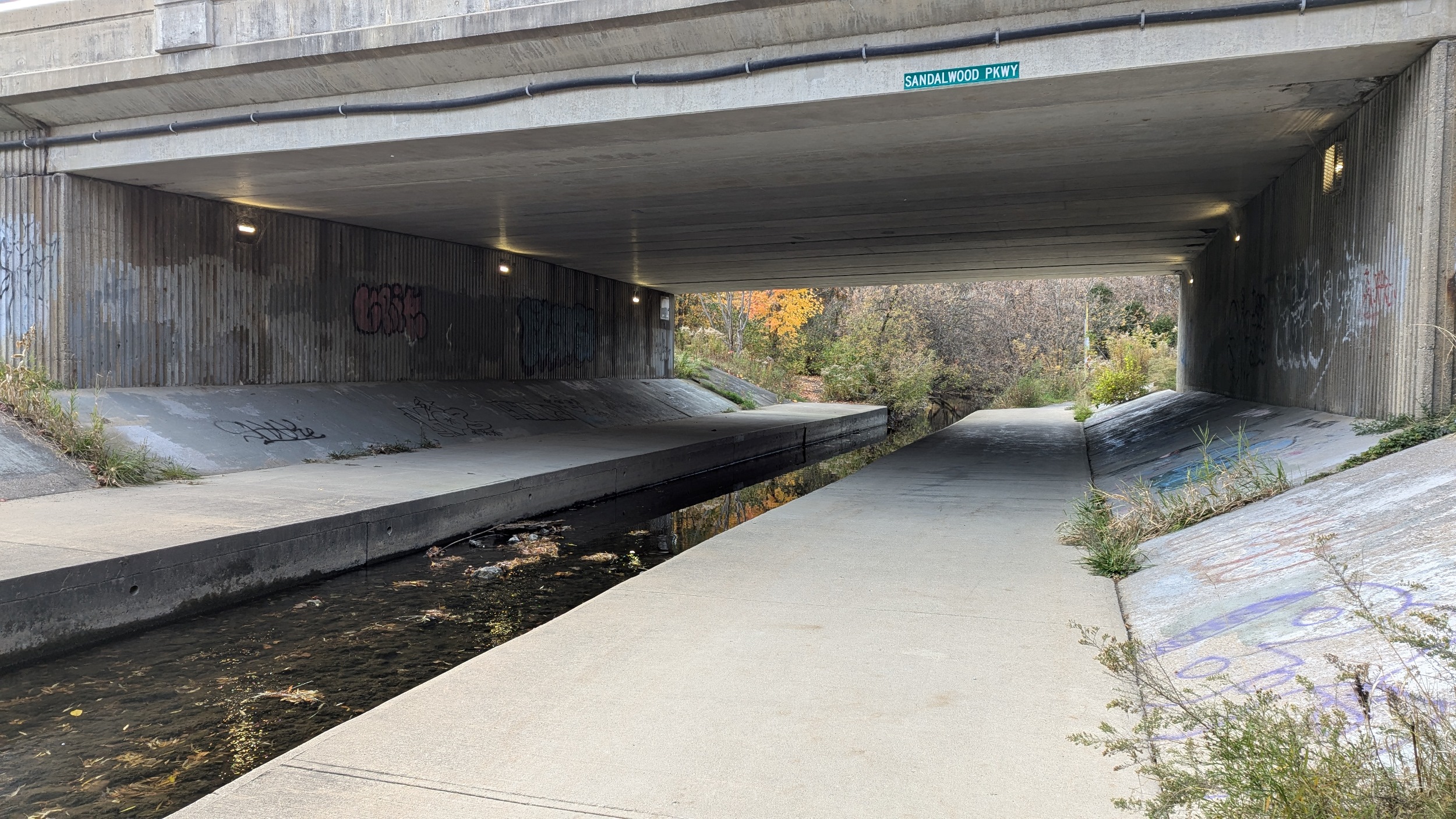
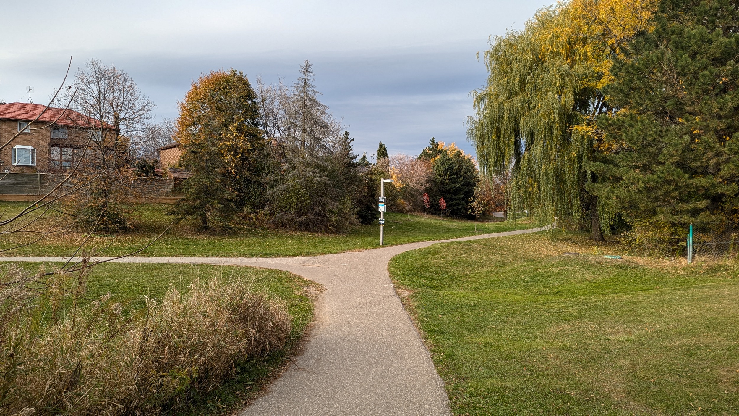
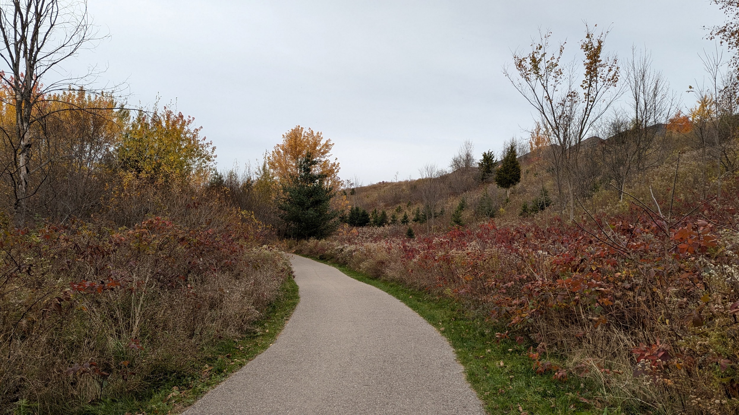
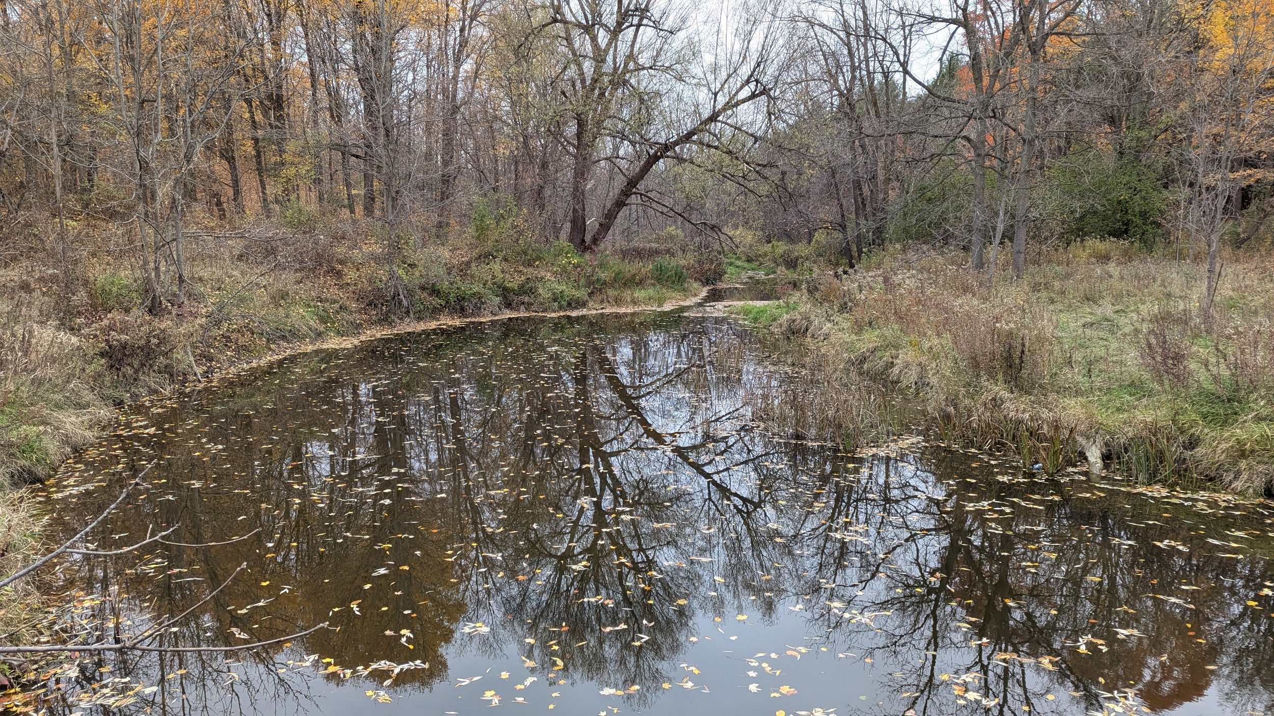
After that upsetting reach, the trail resumes and things are good again. Well maintained path, abundant trees, good adjacent parkland, grade separation from roads. Flat floodplain parks, good trails, and roadway underpasses.
Etobicoke Creek comes to downtown Brampton. Here, the water is confined to a concrete channel. This treatment stretches from south of the GO Transit Kitchener Line to Church Street.
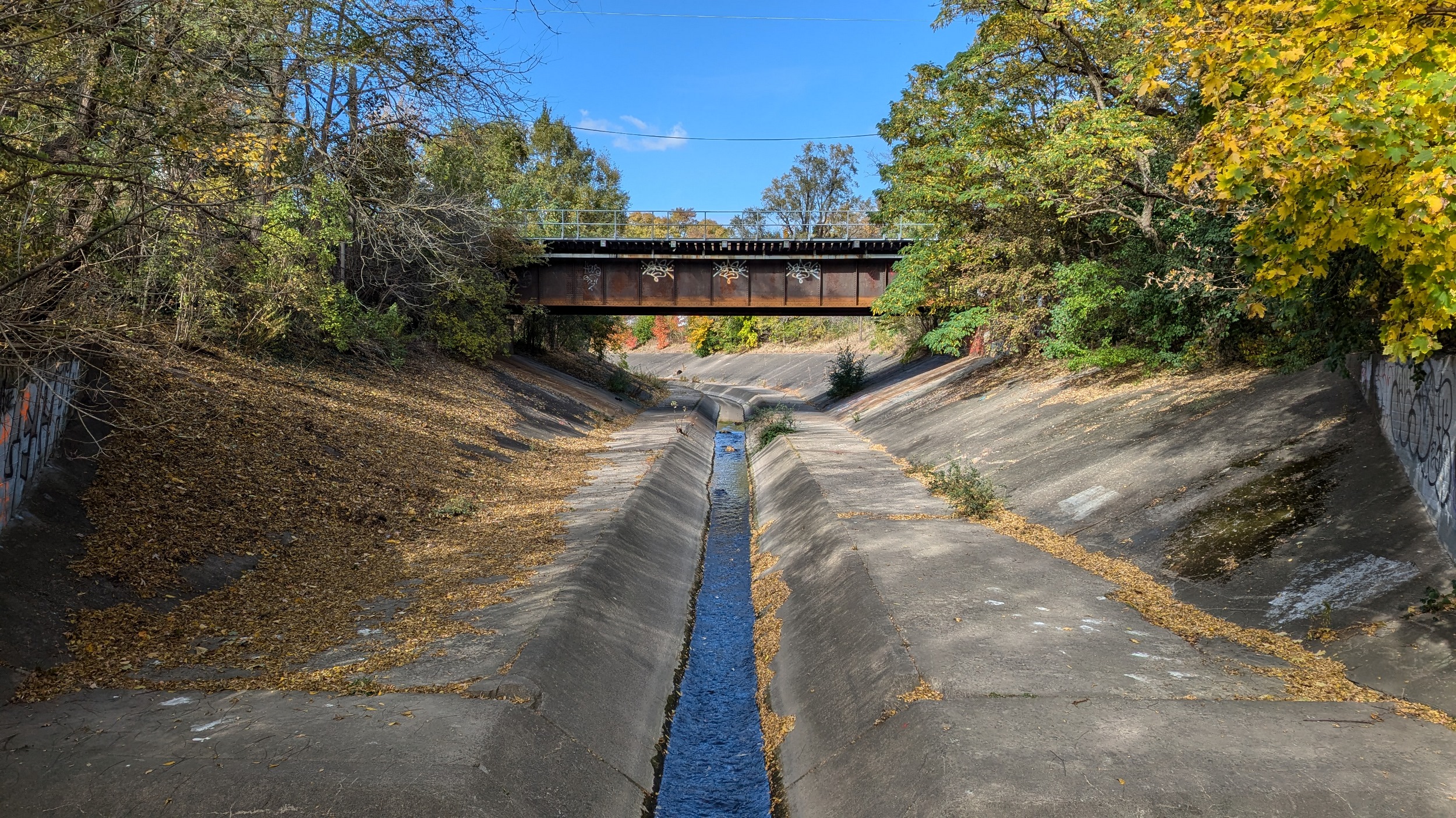
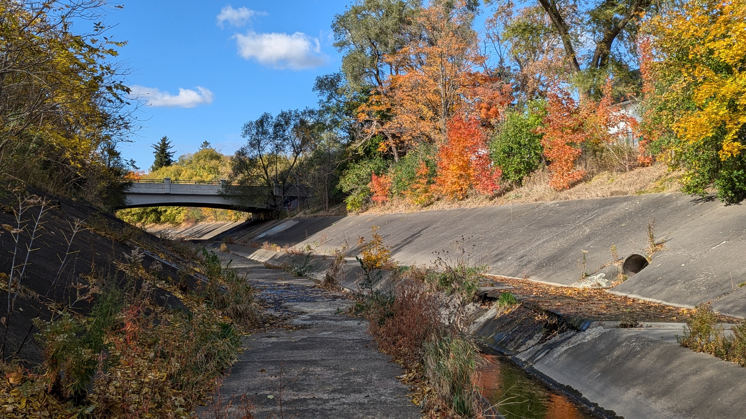
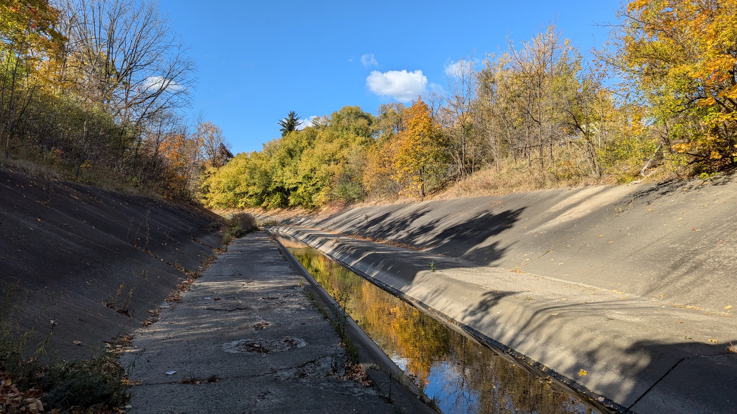
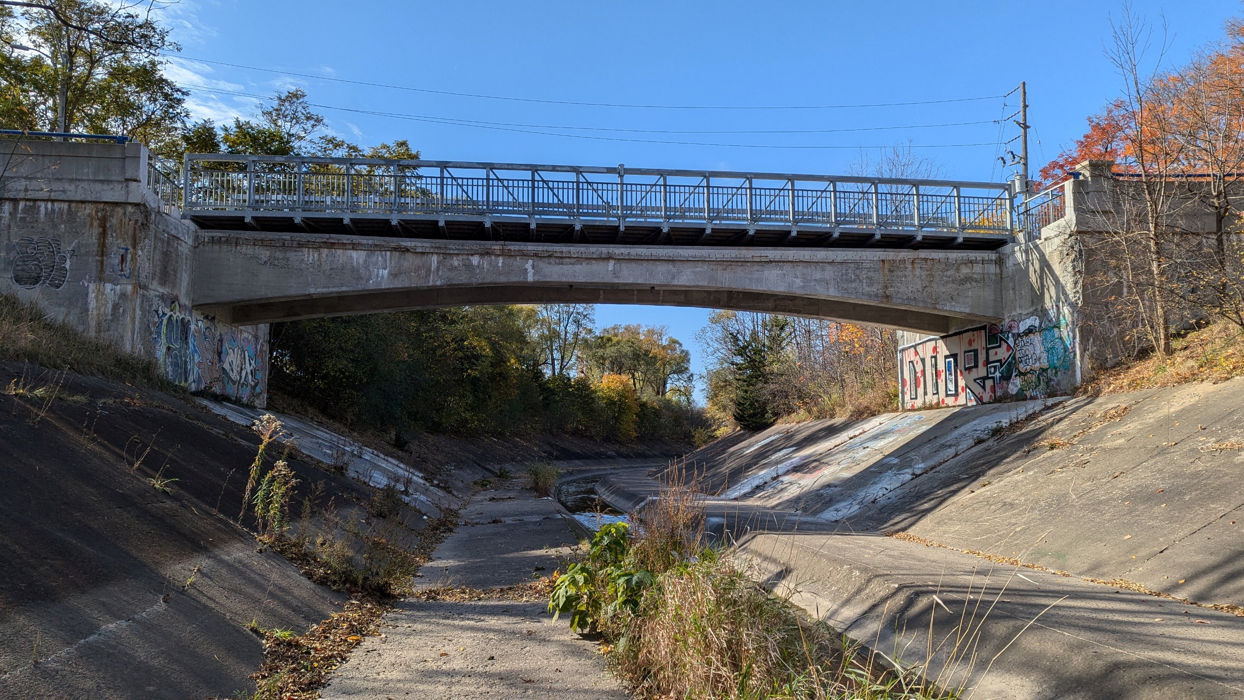
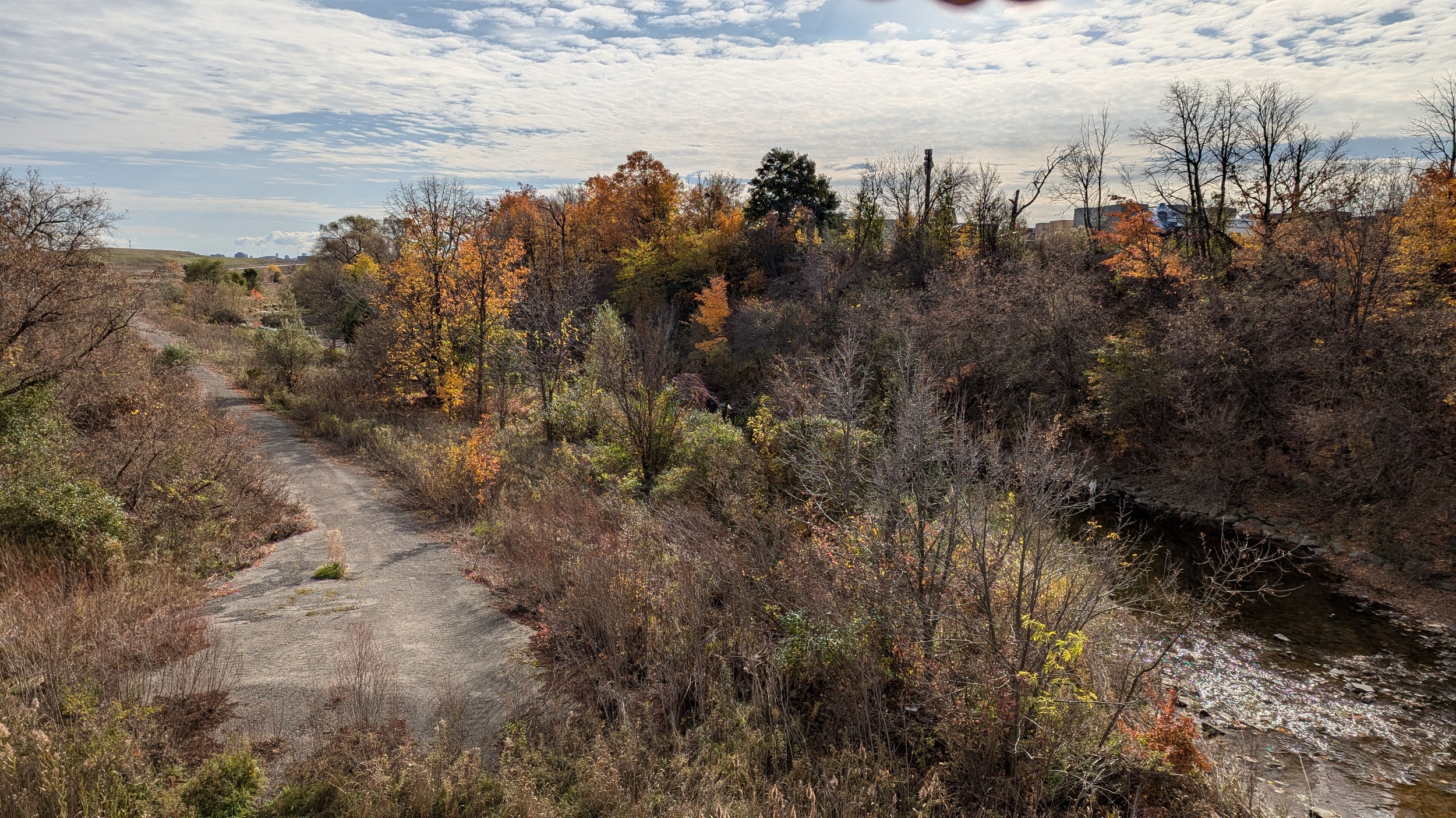
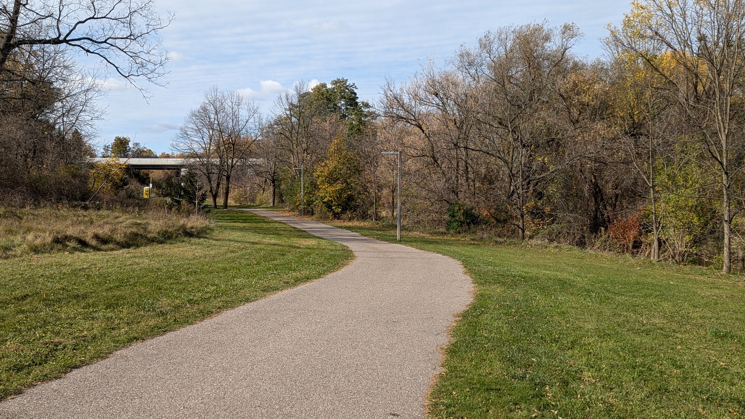
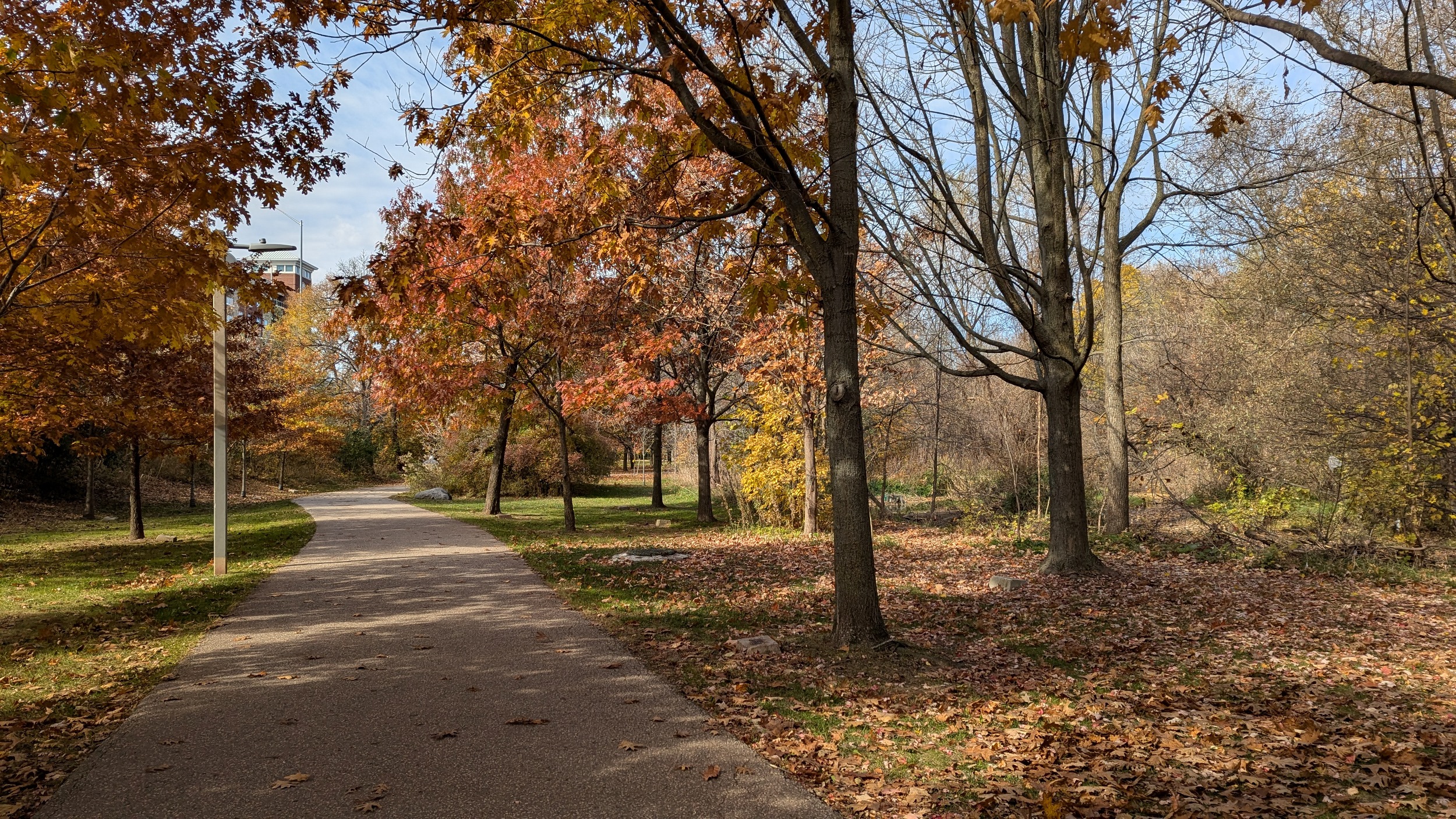
Past Church, it’s uninterrupted valley again, and this is the form for many more kilometres. The manhole covers are a hint that this is also the path of a sanitary sewer, and these usually require an access path. Making it a community trail is a natural extension.
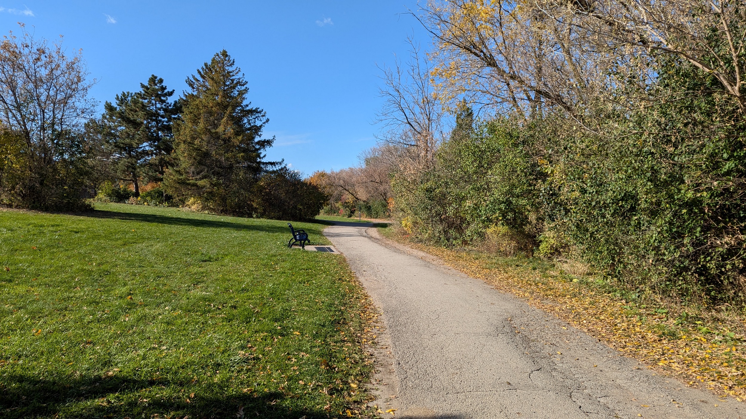
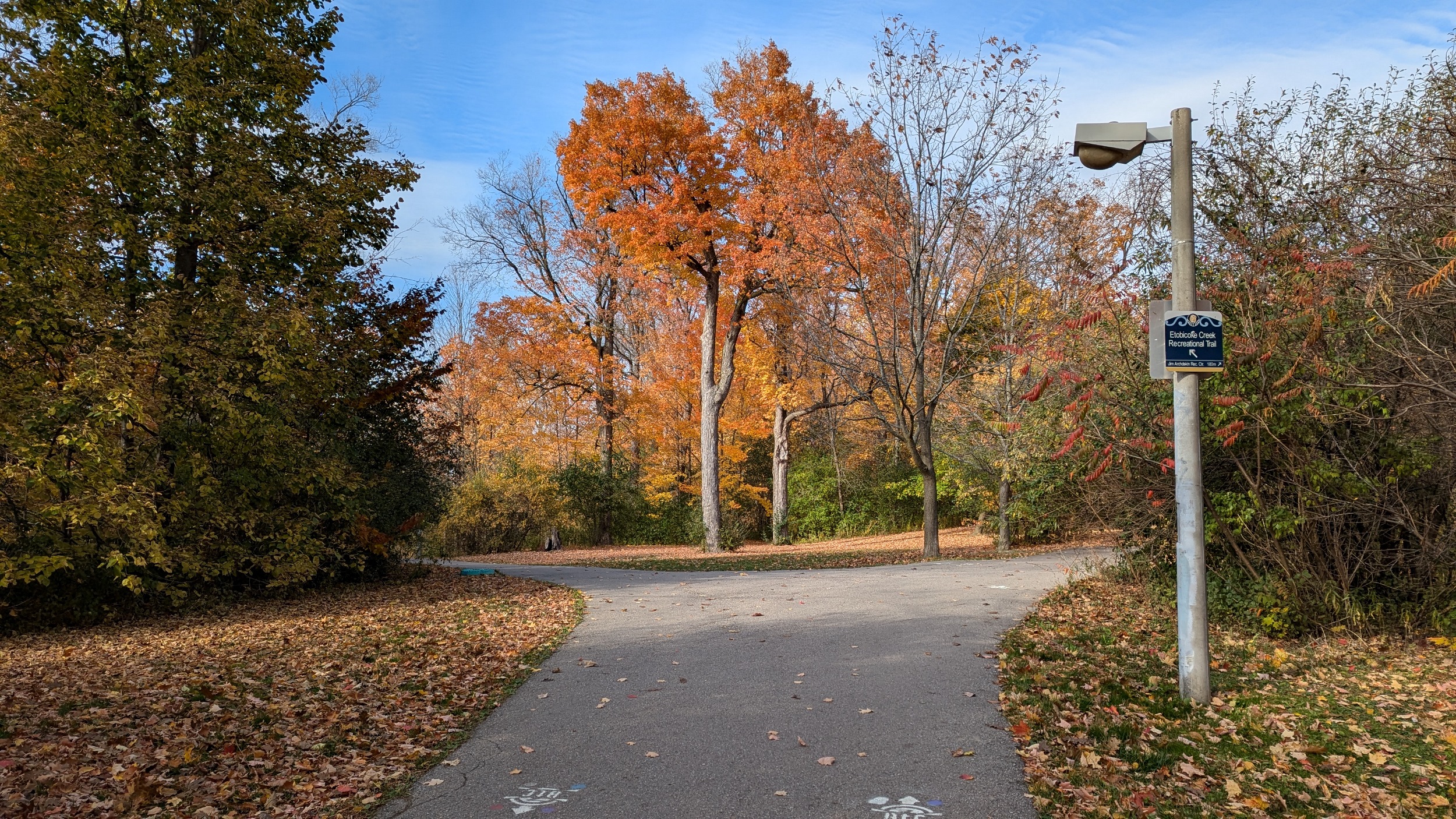
The lighting along the trail is a mix of sodium vs. LED lamps, combined with skinny rectangular vs. fat tubular posts. There’s also frequent benches and garbage cans. This is what a mature, well-invested and maintained trail looks like.

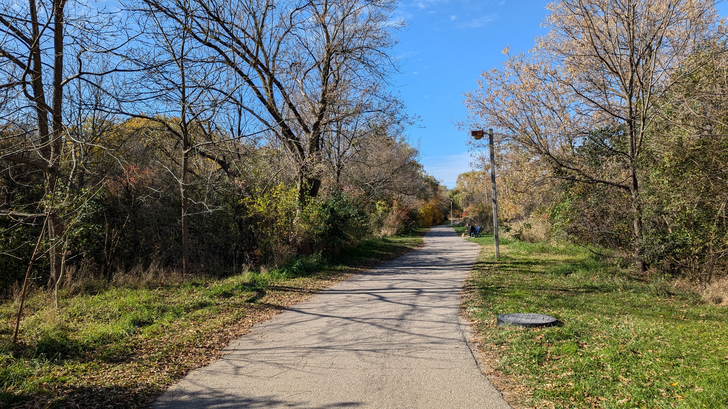
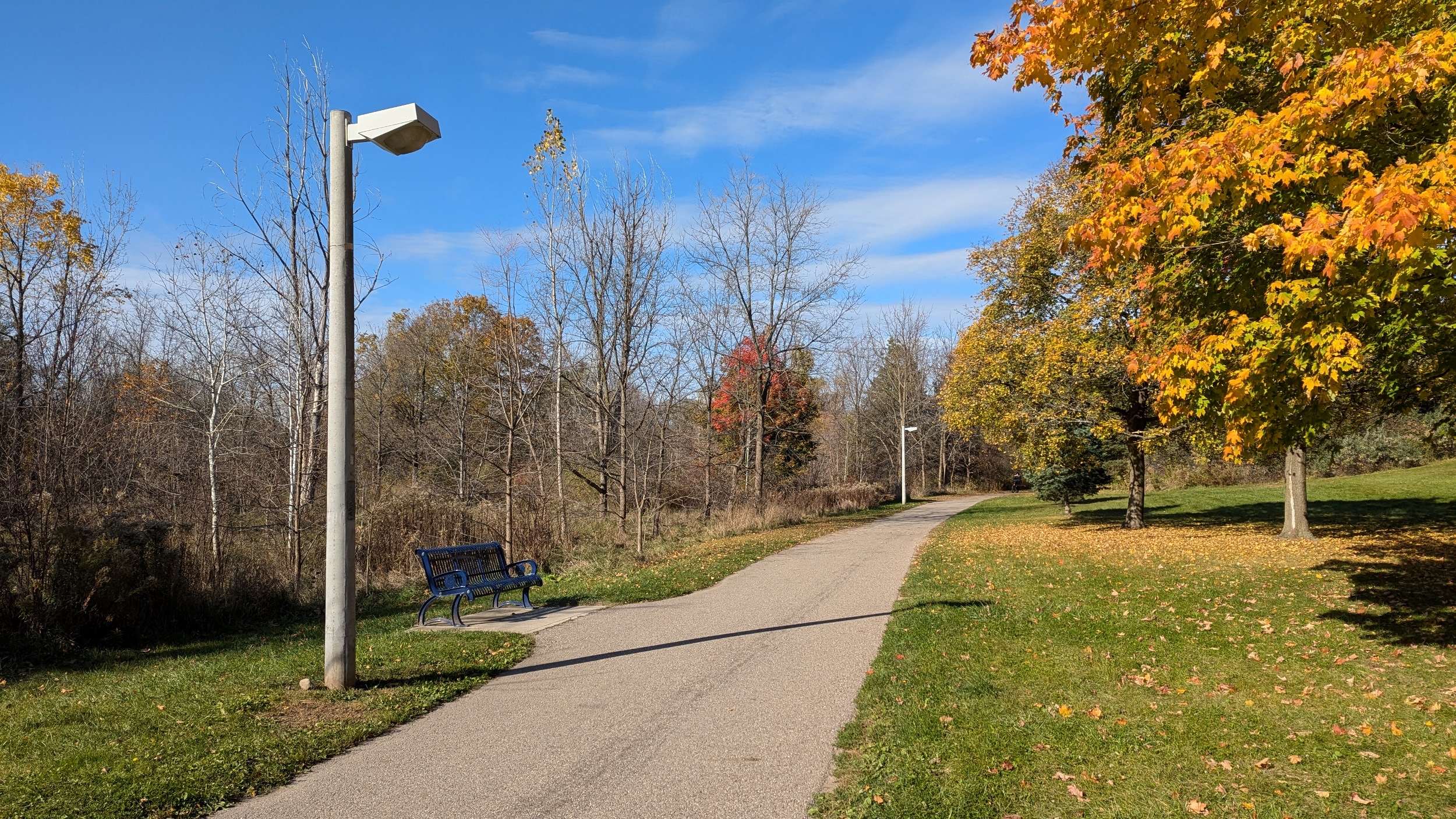

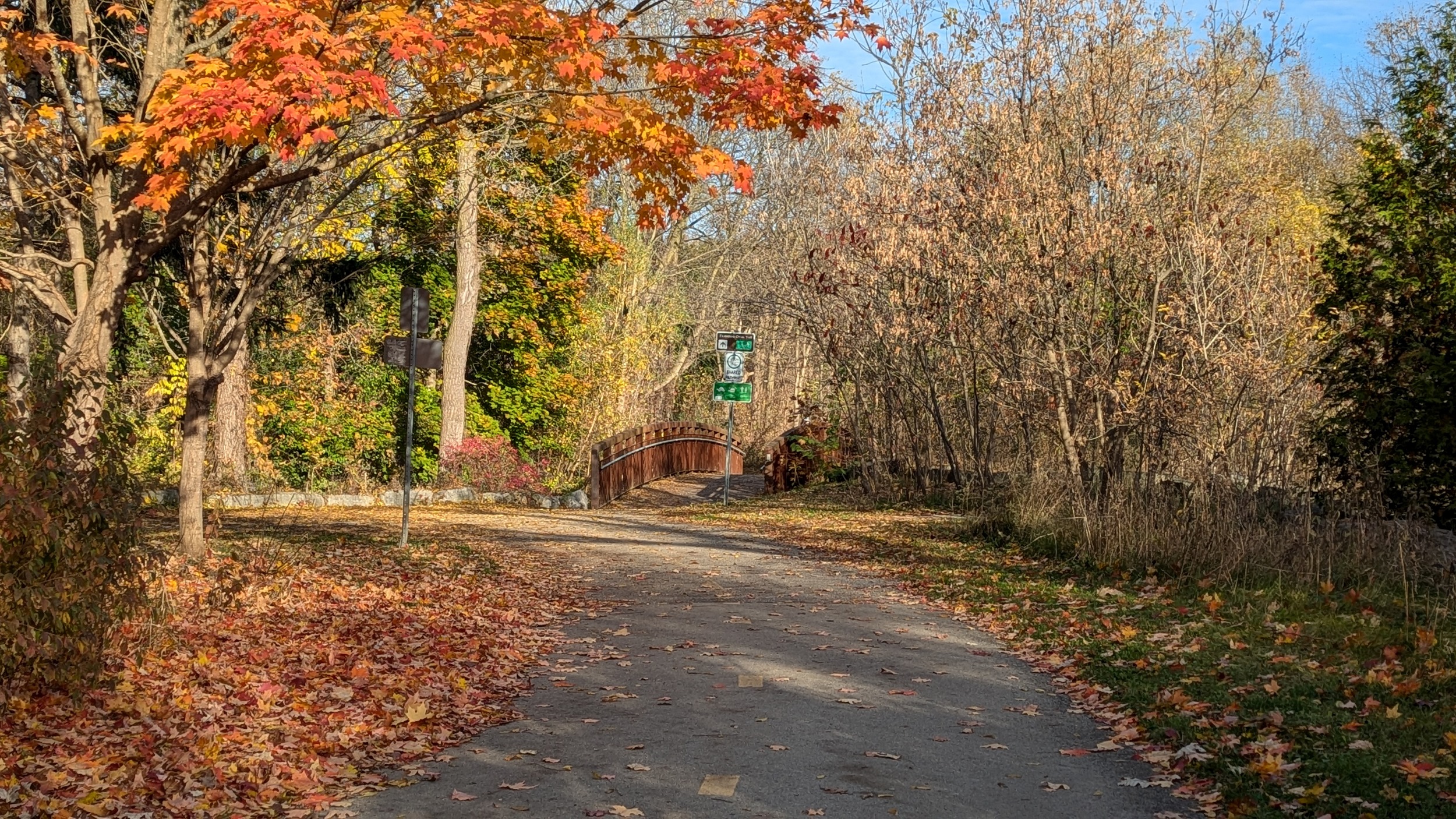
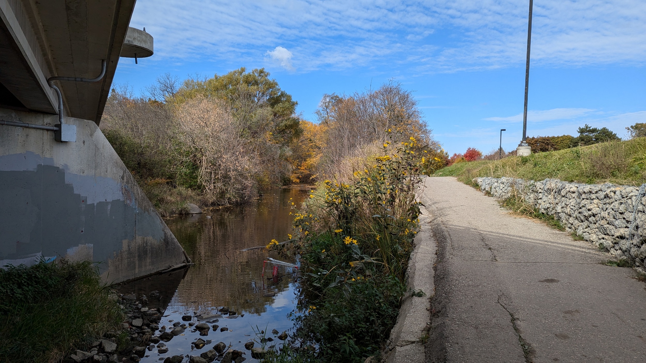
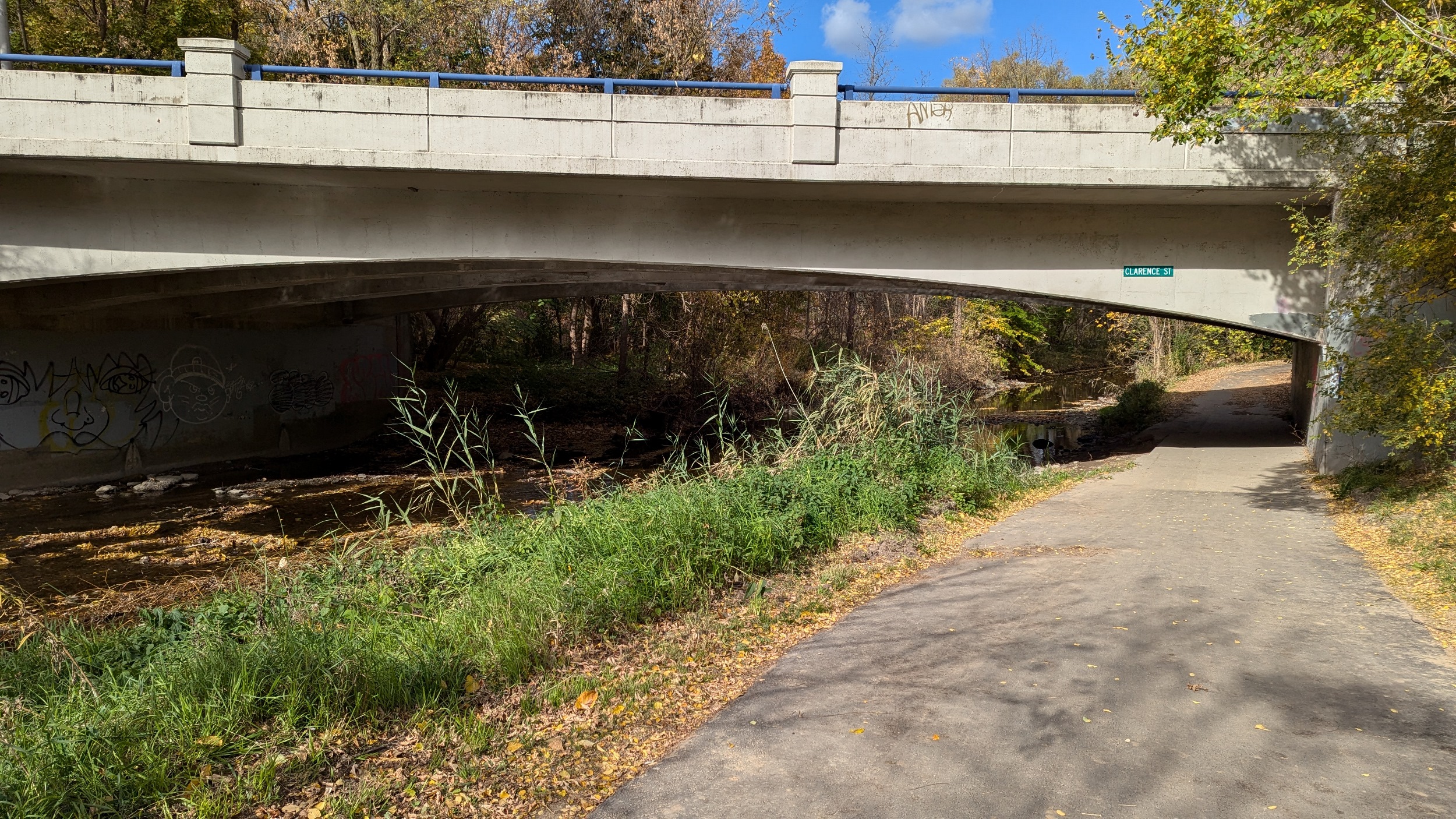
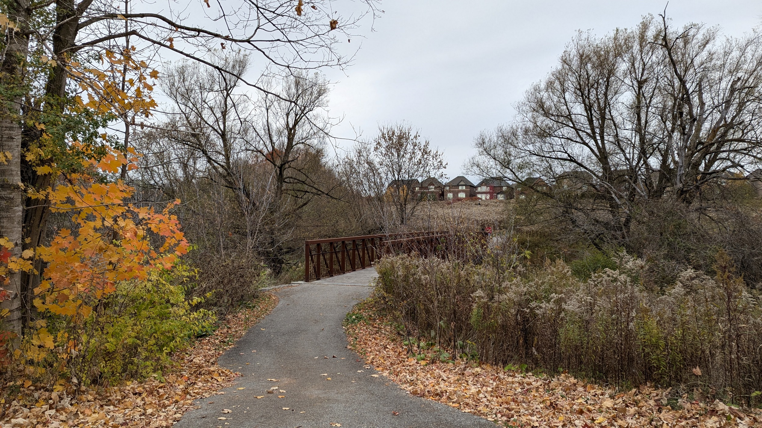
Other things that are great about this trail are the number of weathered steel bridges, and how each road has not only an underpass, but usually connections down from both sides.
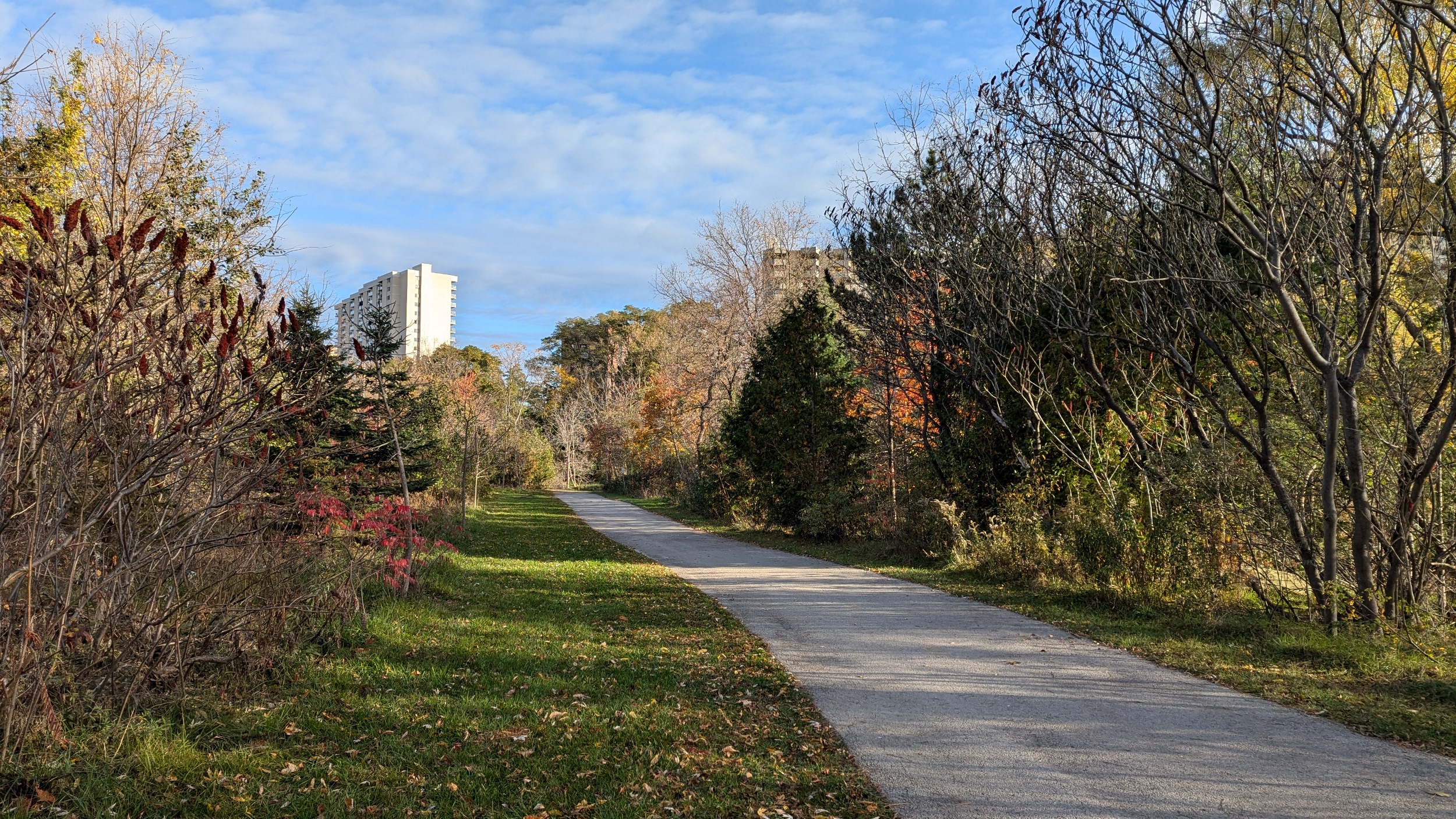
Speaking of connections, this trail has more than ramps from the road. It has a bunch of links into residential neighbourhoods. This makes for easy access to your local green space.


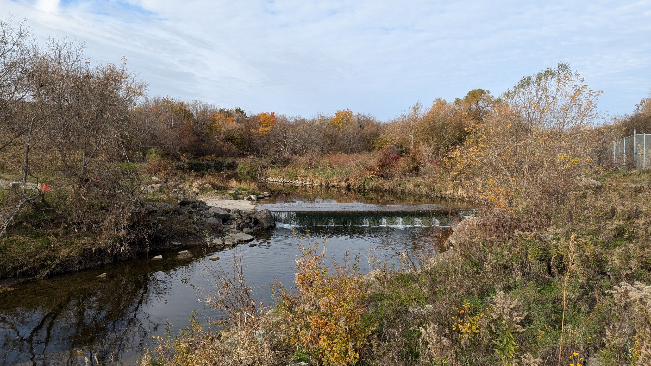
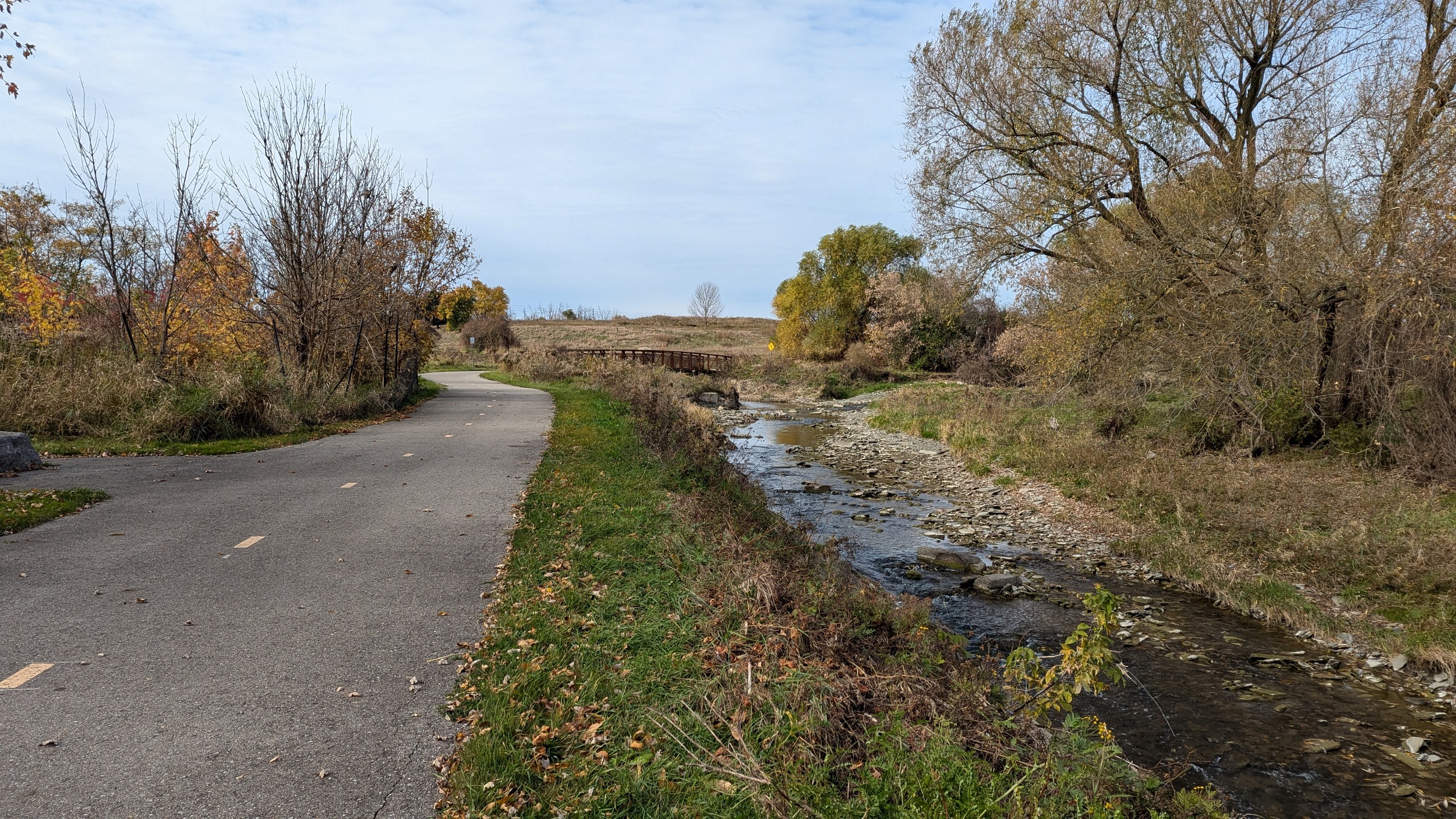
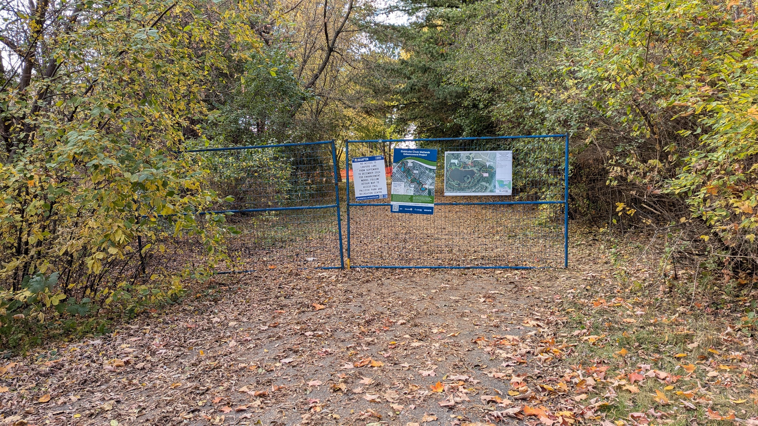
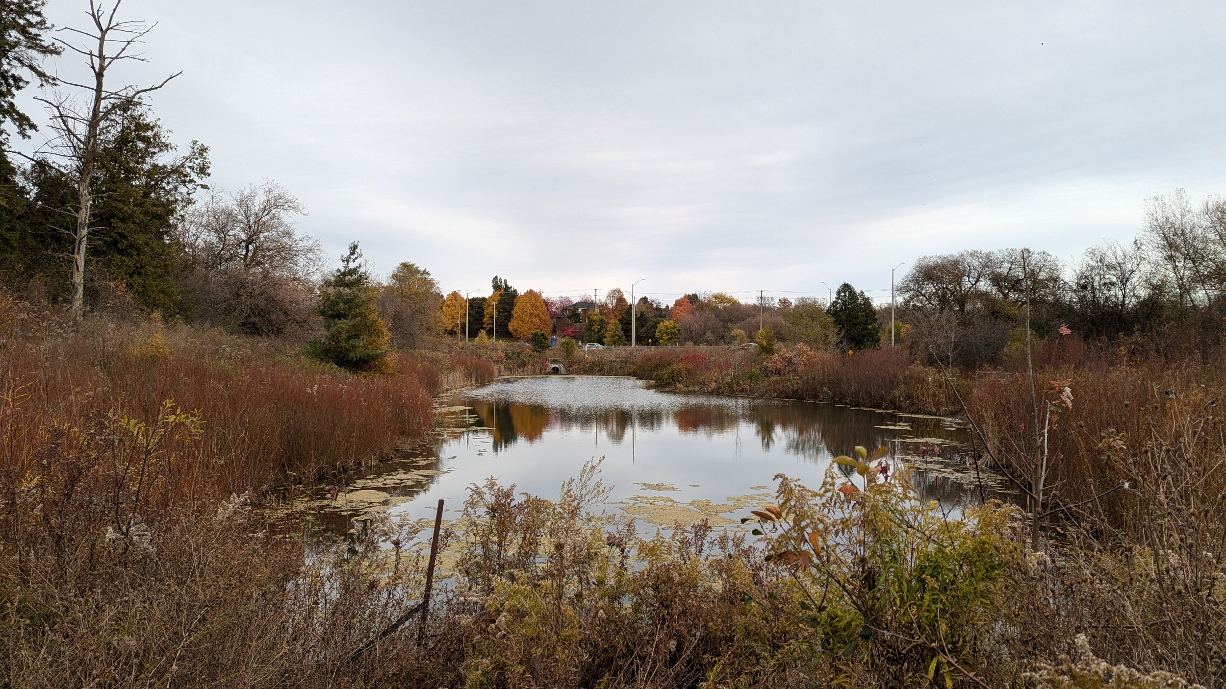
Well, my luck ran out. Another interruption, this time due to wetland enhancement at Loafers Lake. A detour around here is made longer by the fact that they even blocked off the north bridge over the creek. I get back on track after descending down a link from Elmvale Avenue.
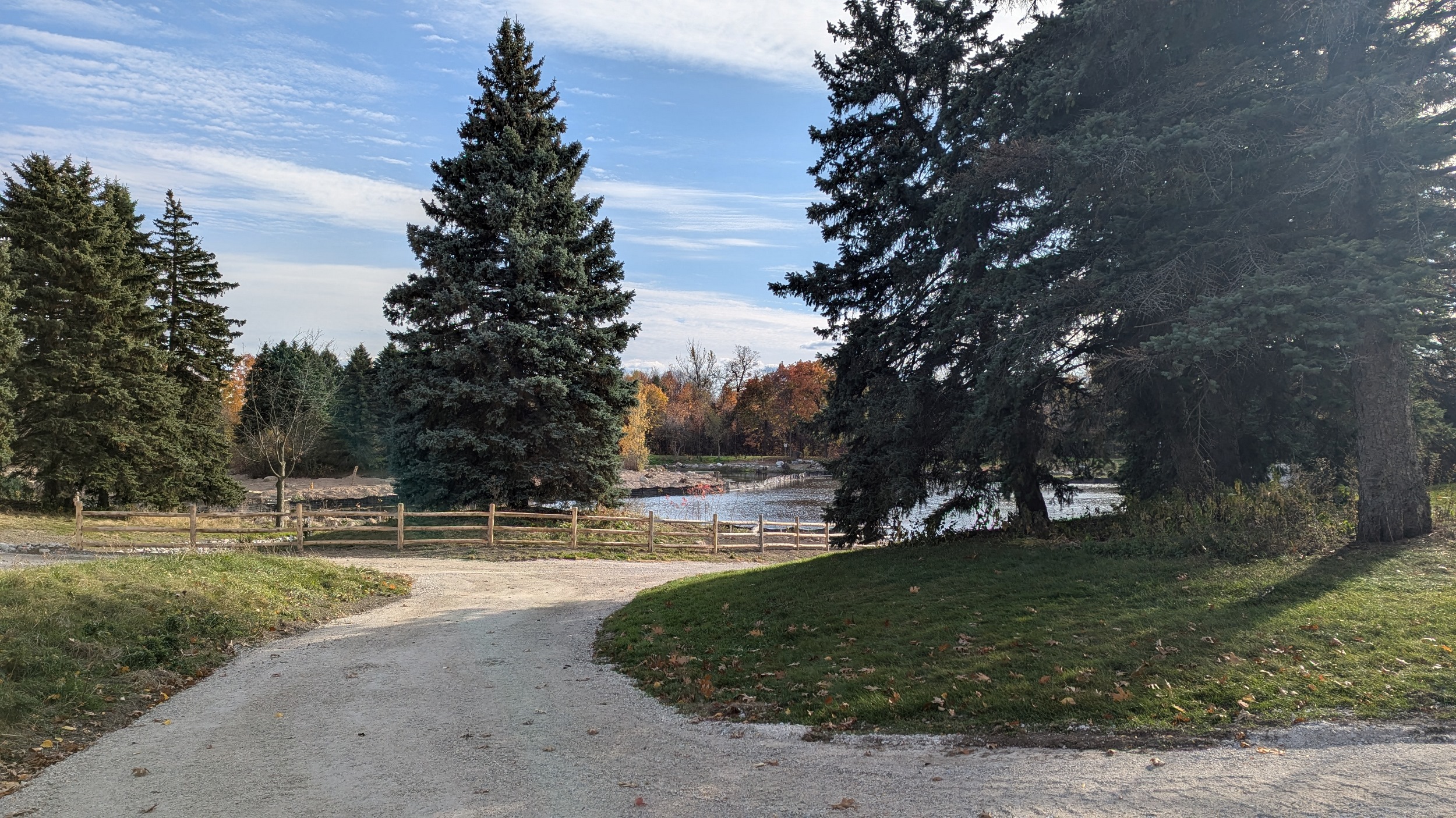

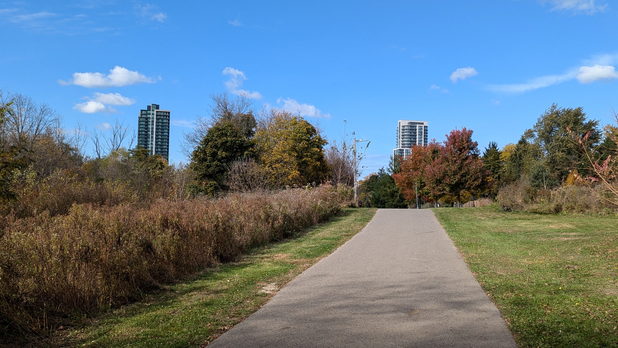
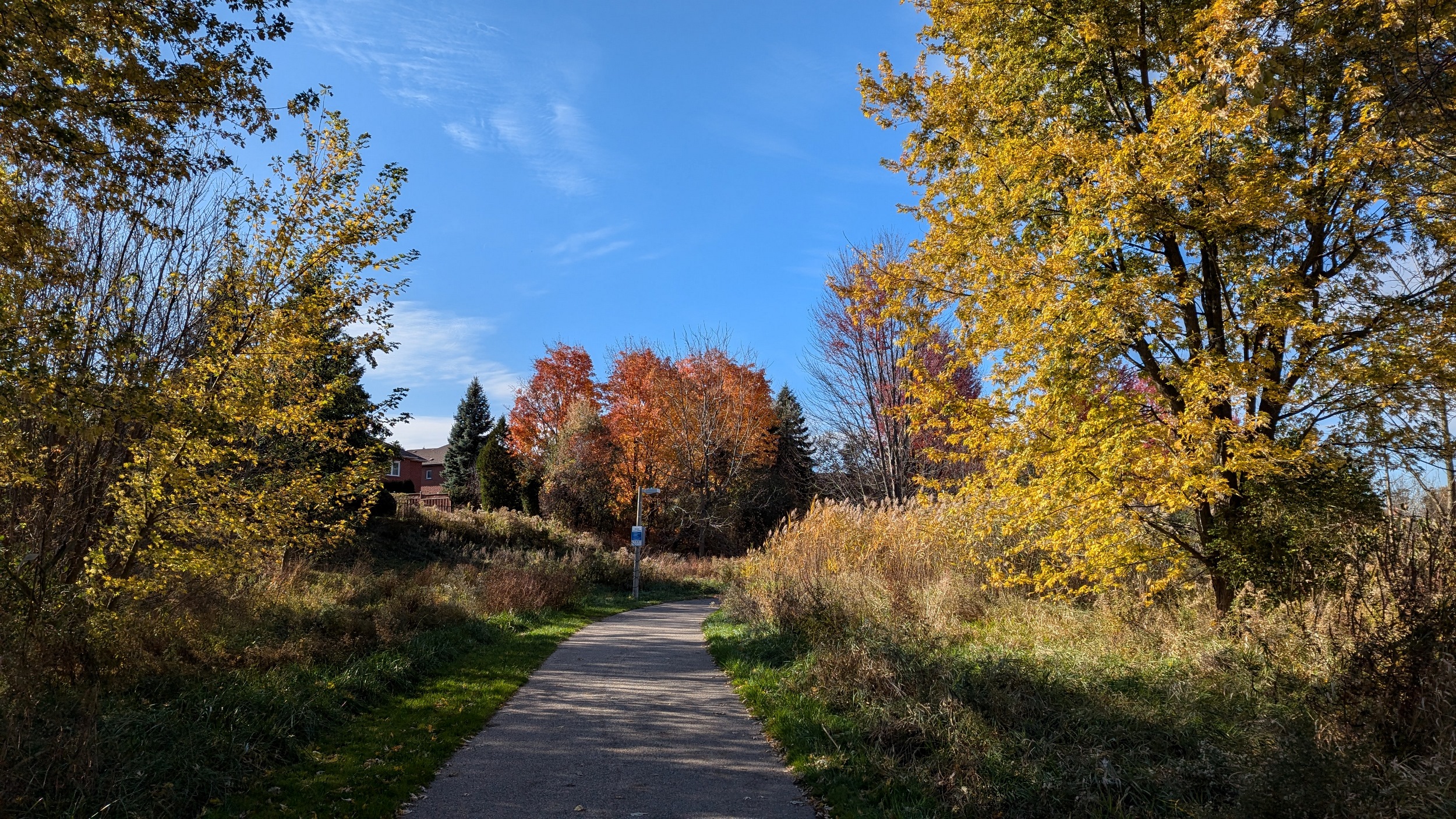
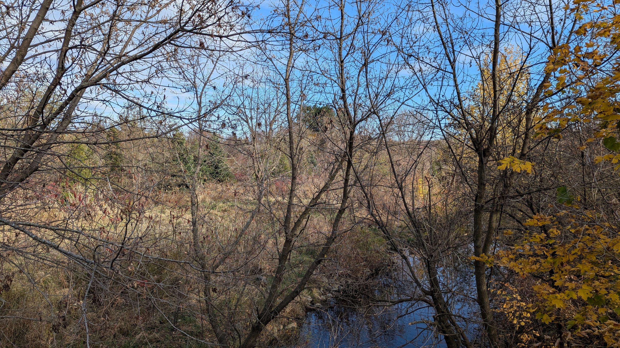
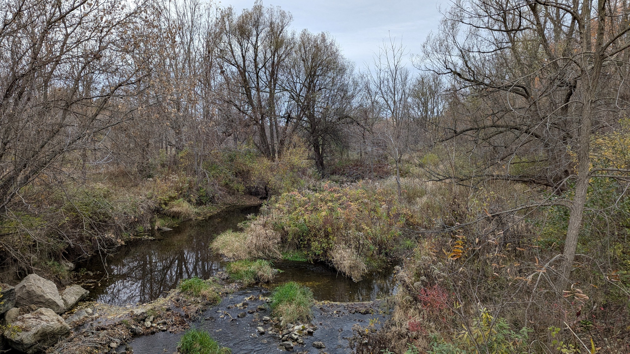
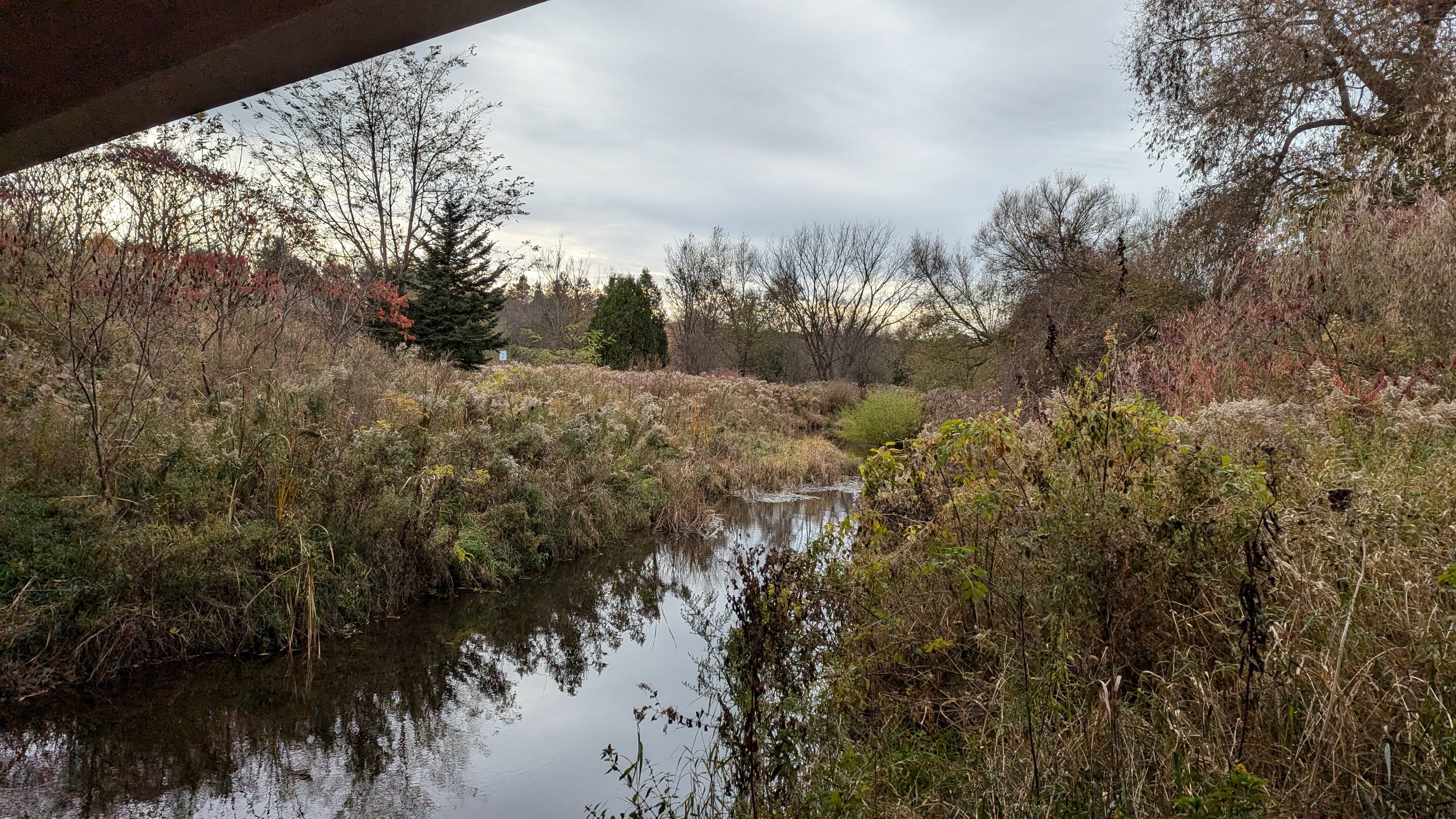
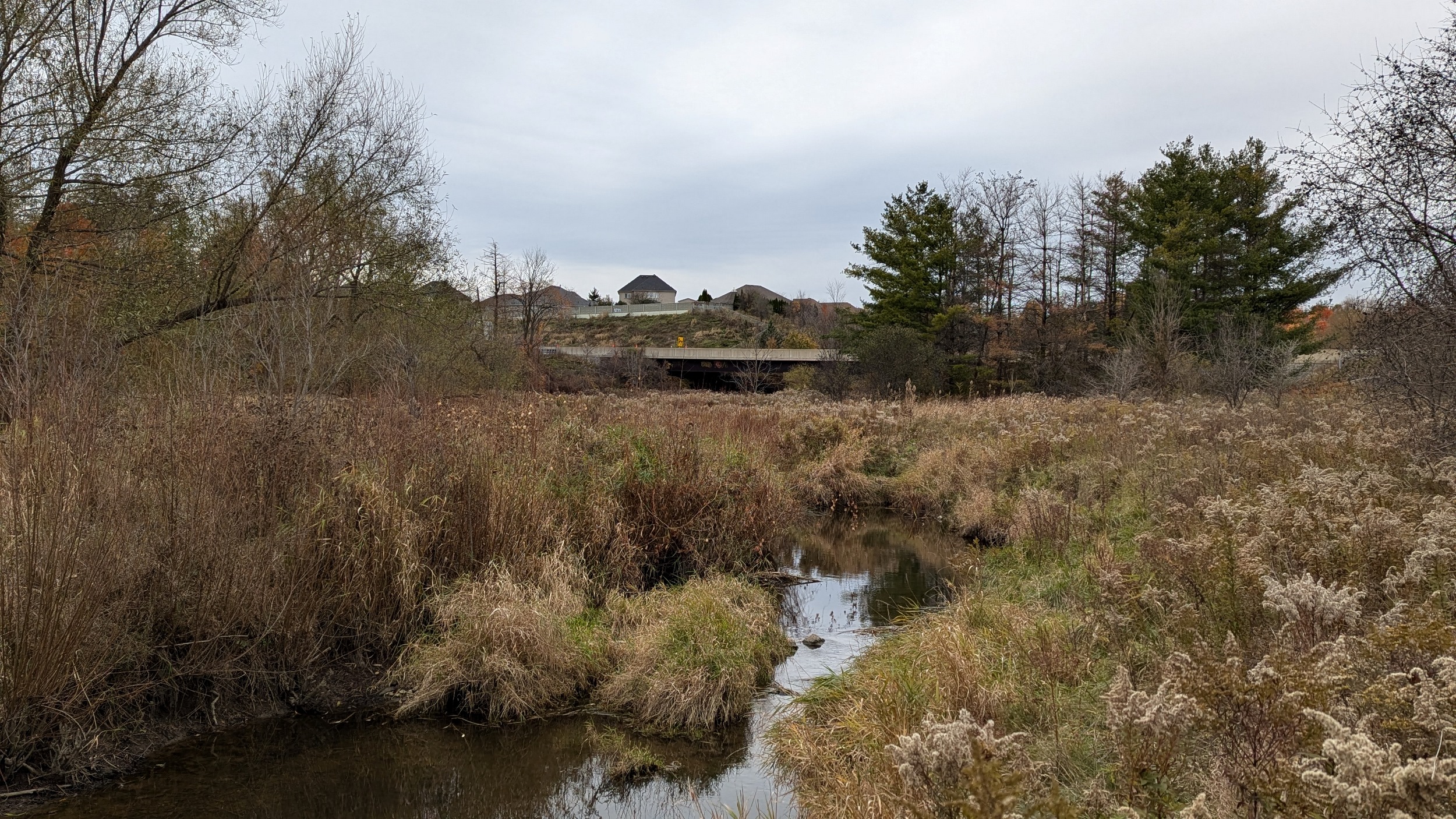
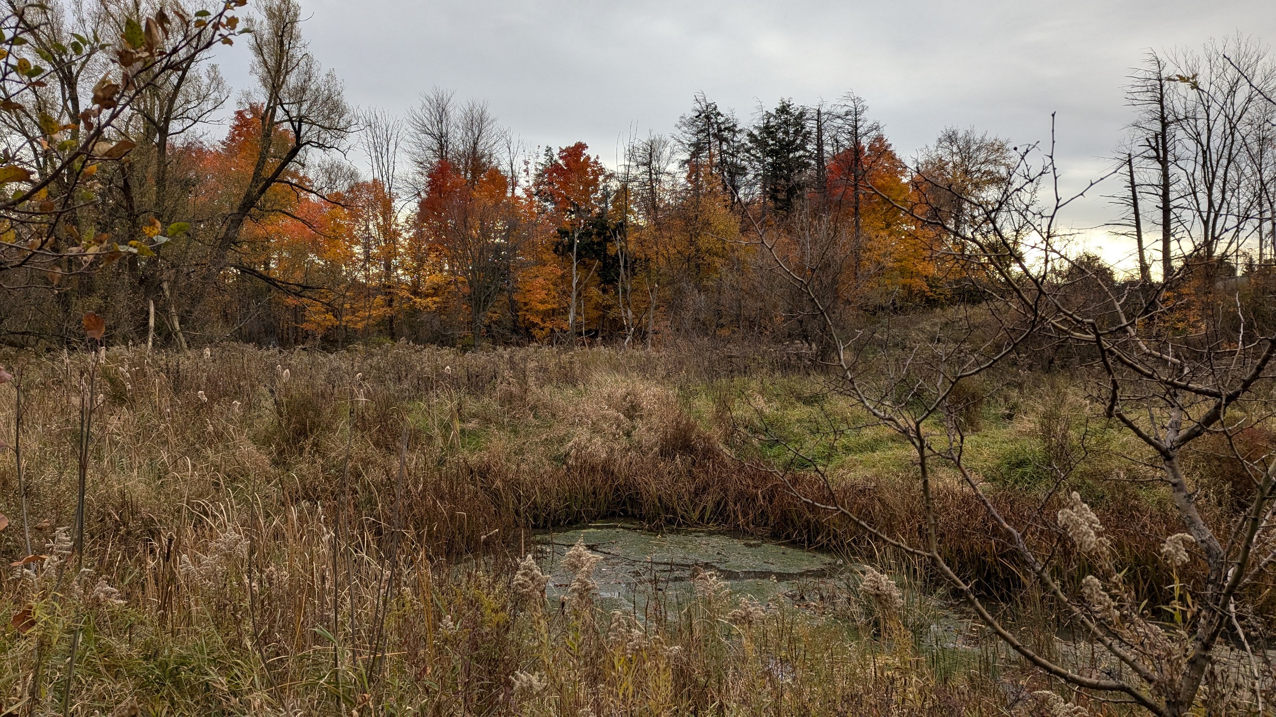
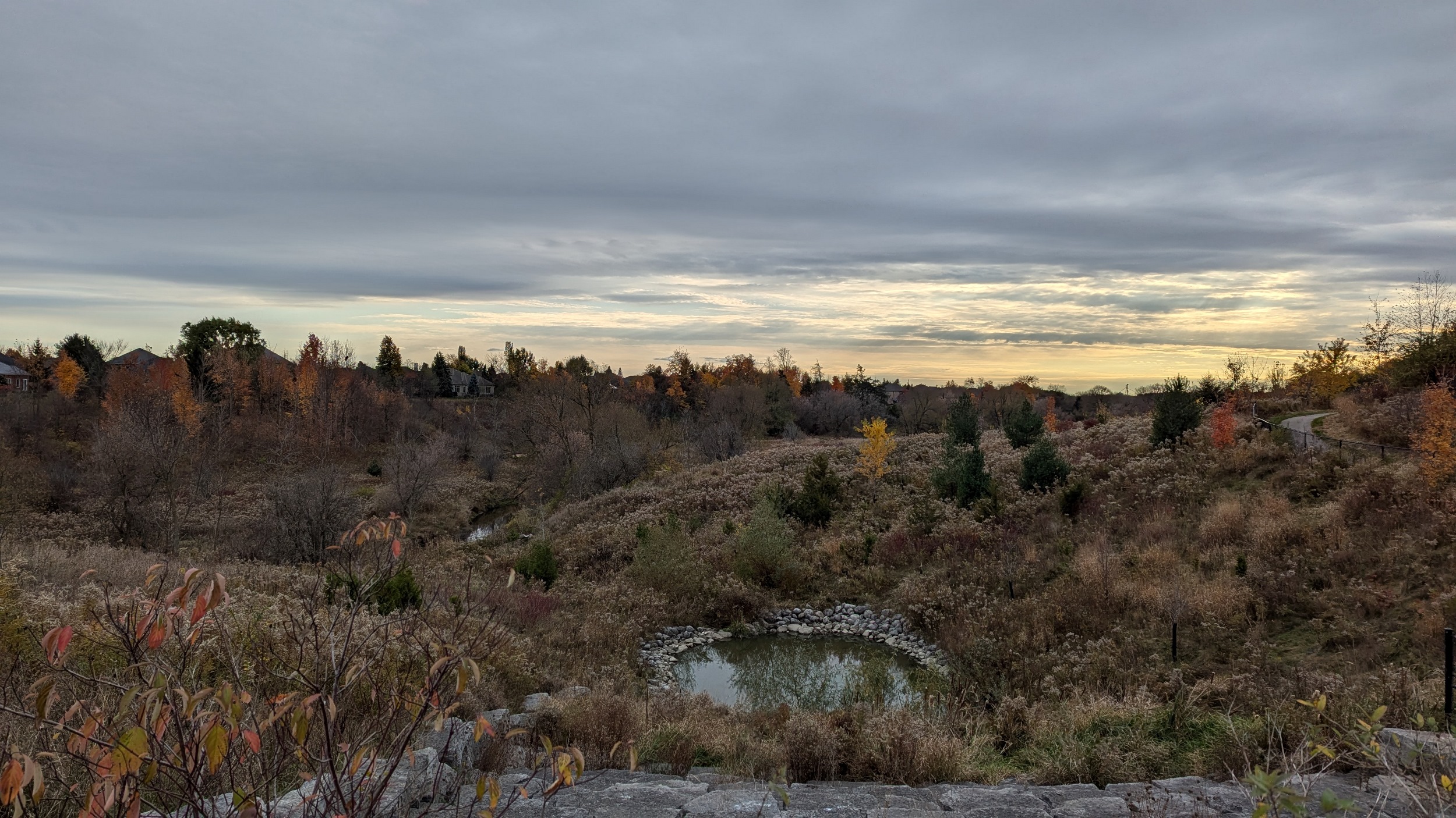
The character of the valley is changing. It’s wider, and wetlands span across both overbanks. The wetland vegetation, combined with clouds coming back, makes for a muted landscape. The upland woods still provide a splash of colour. As we cross Mayfield Drive, I am technically stepping into the fourth municipality of this walk, the Town of Caledon. The trail and valley are similar as you go under the 410 again.


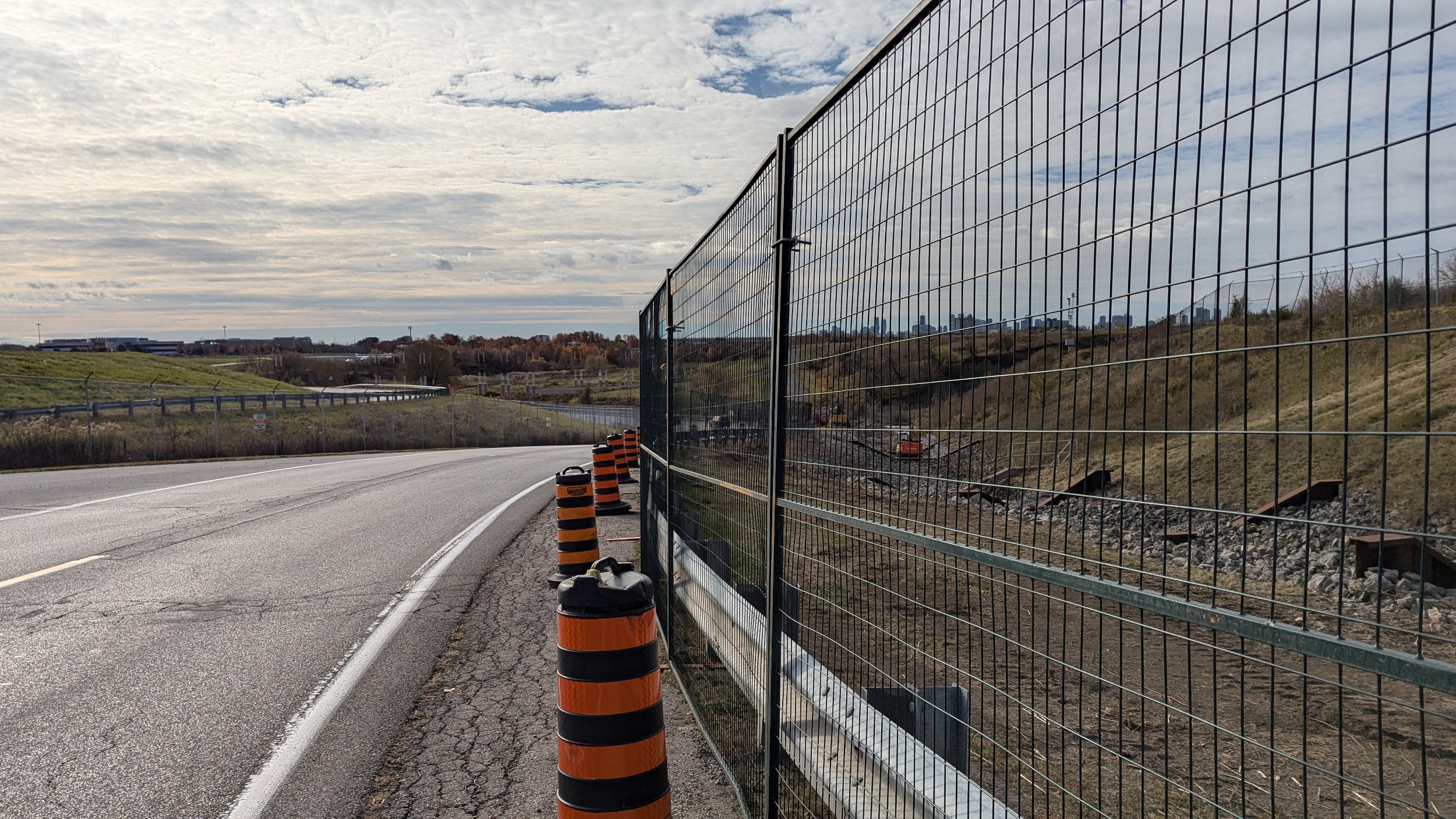
A little ways north of the 410, you’re forced out of the valley to walk along Old Kennedy Road. You get back along the edge of the valley for a while just south of Dougall Avenue, and that will take you to one more creek crossing before you’re out of the urban valley for the last time. Then, it’s a long jaunt back over the 410 to end the walk.
Date: October 27, 2024
Length: 38.0 km
Type: Riverine