Good morning from northwest St Catharines. Today I’ll be walking along the shoreline, from St Catharines’ western urban boundary (Courtleigh Road) to its eastern one (Reed Road). Let’s go.

The end of Courtleigh gives you the first glimpse of the lake. Then it’s down Mary Street for a bit until you get to a little longer, but still short, but of parkland behind Tara Court. There’s a city-owned stair here.


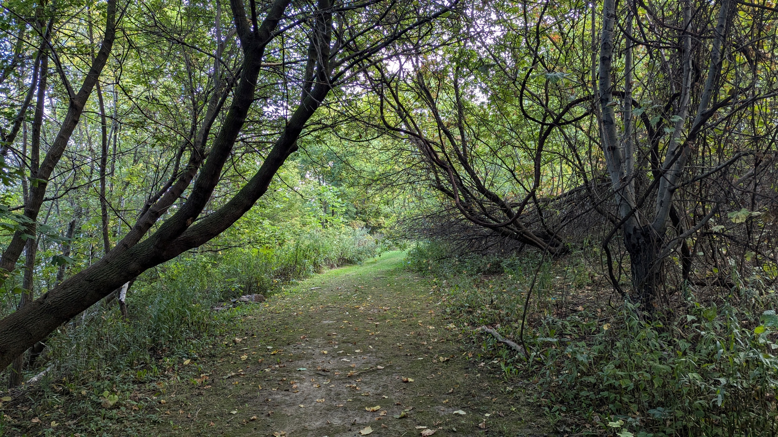
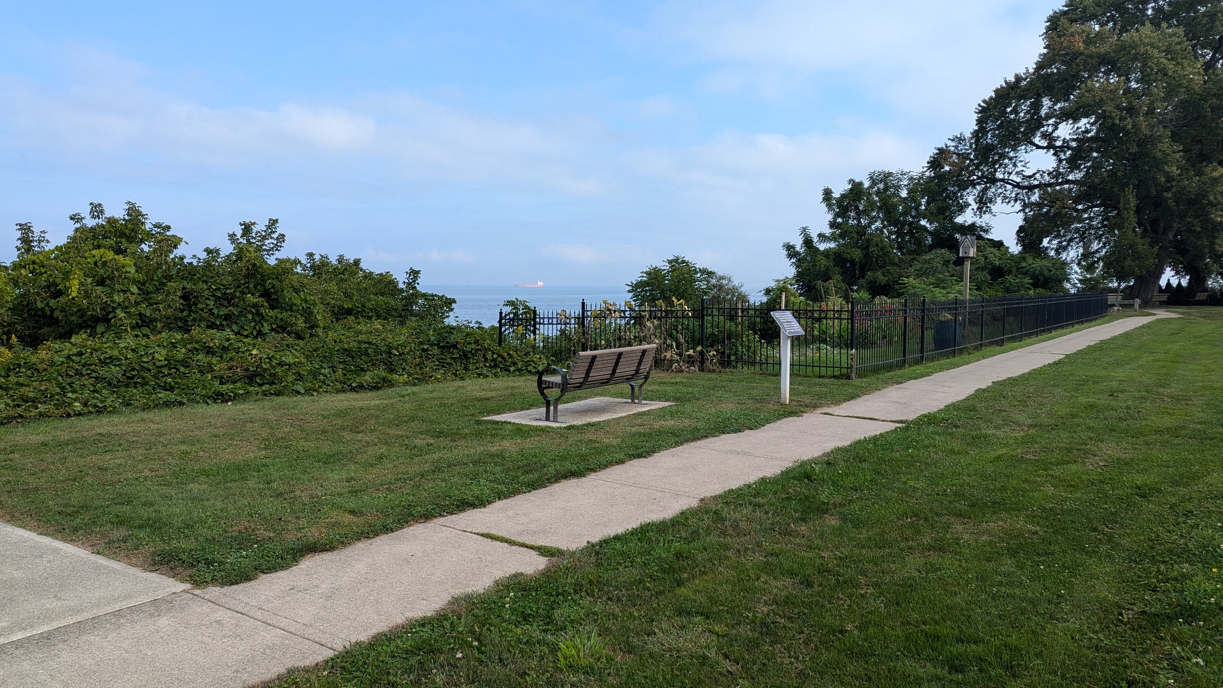
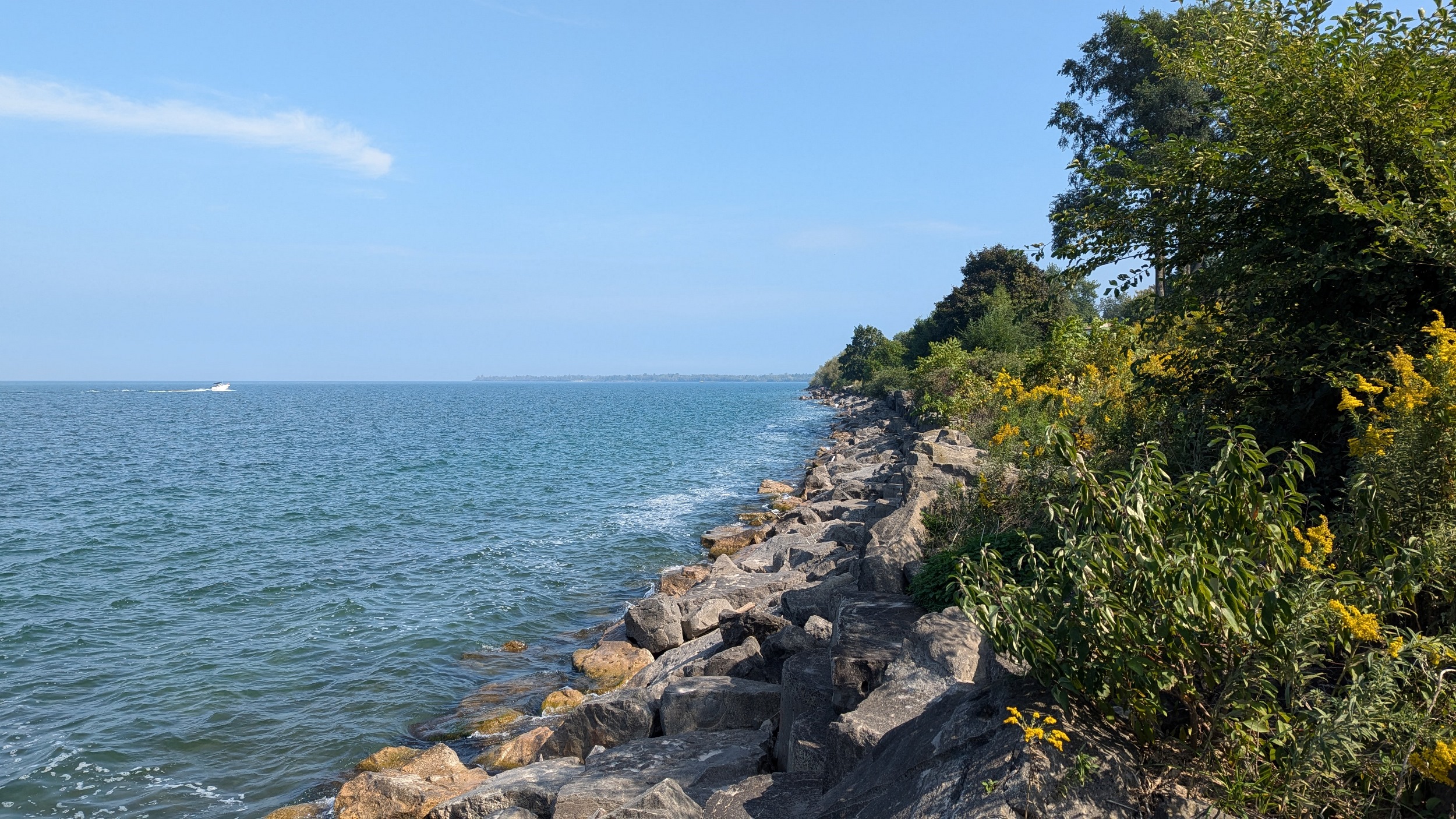
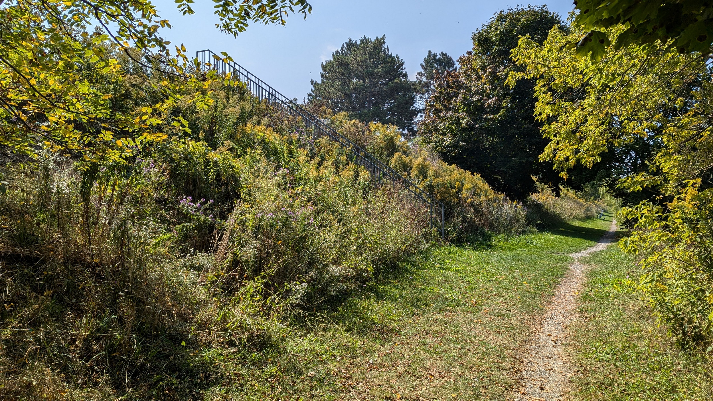
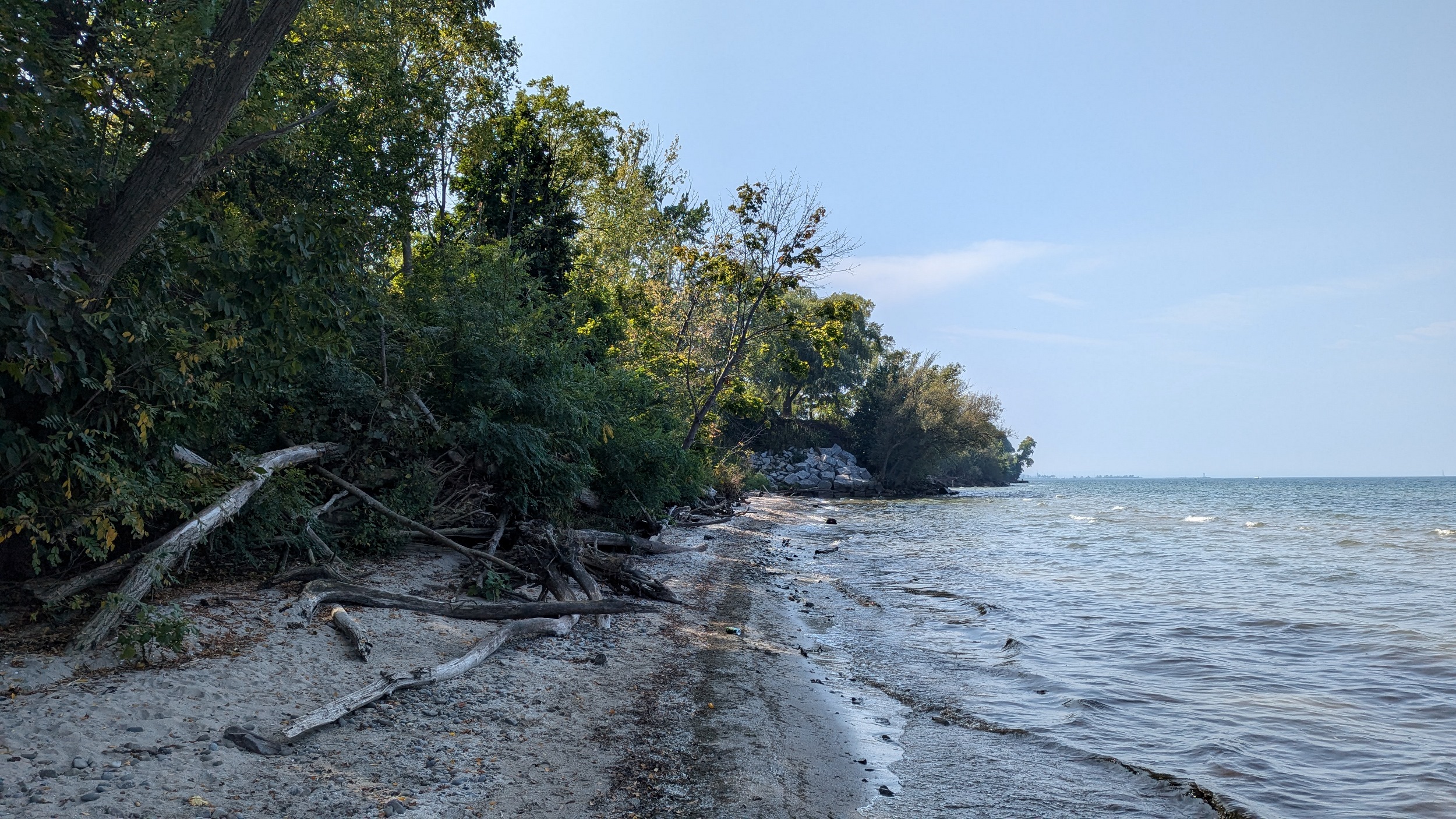
Something unique I’m noticing: there’s a bit of a bluff here, and I’ve now come across many benches and 3 sets of public stairs to the beach. There’s private property on both sides, but it’s stickered rather than fenced. It’s surprising to see this much effort to encourage access to small slivers.


The bluff gets a bit higher and there’s signs of erosion. No more encouraged access, but there’s still seating provided at the ends of these roads.


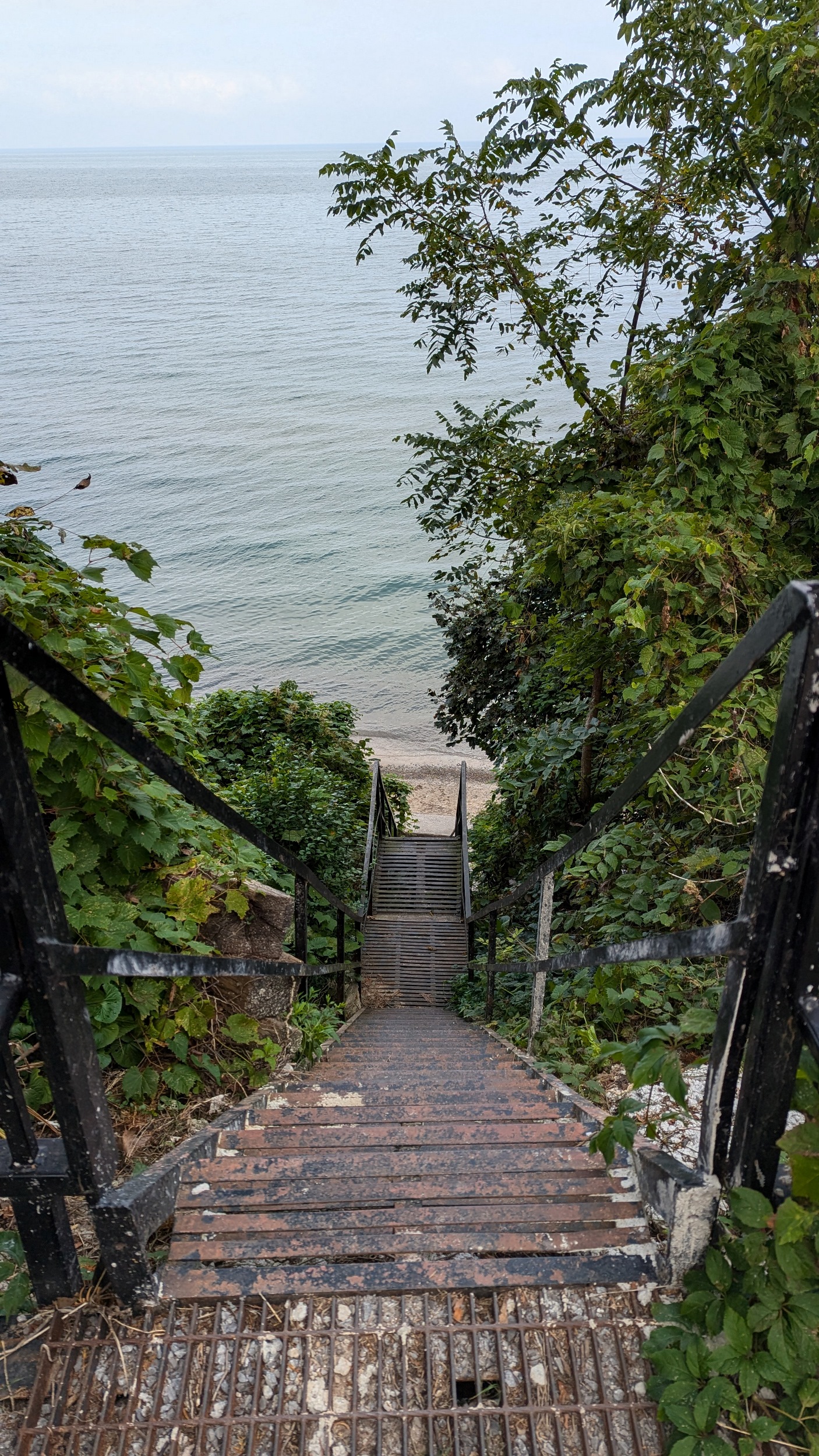
A couple more lookouts, and then a set of stairs that’ll dump you into the water. Then another set of stairs to the beach.


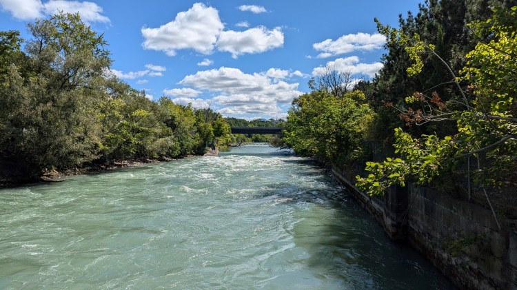
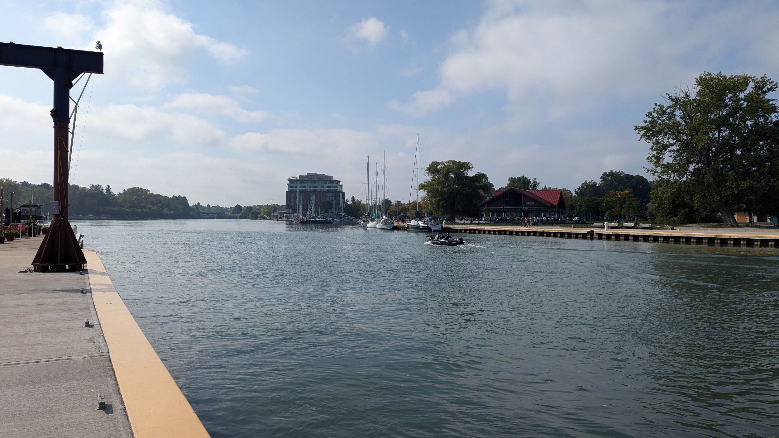
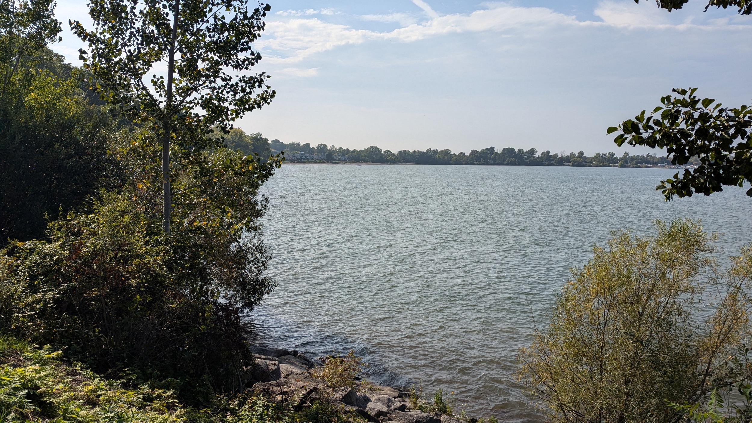
This beach flanks the western pier that protects the outlet of Martindale Pond / 12 Mile Creek. It’s a trip to head down and around at Lakeport Road to get to the east side. But at least it’s a trip full of great views.


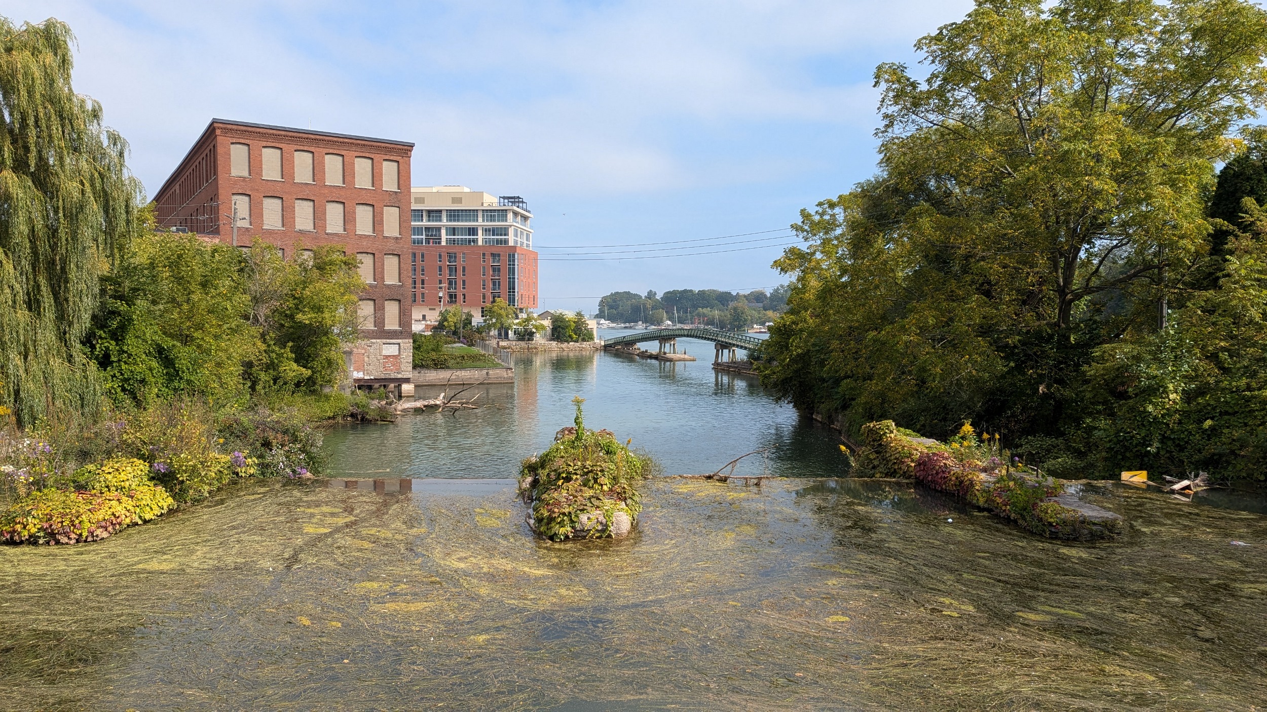
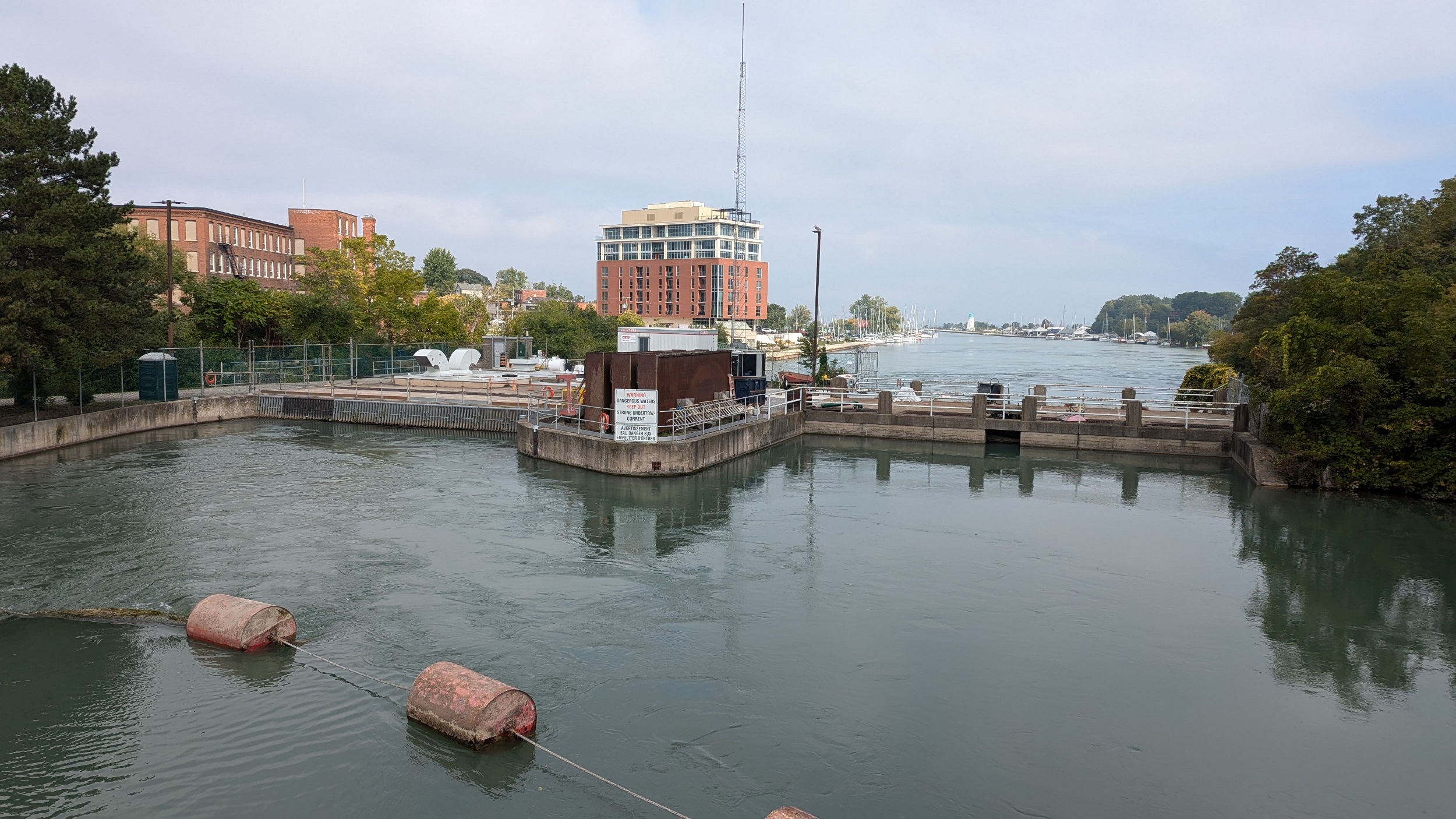
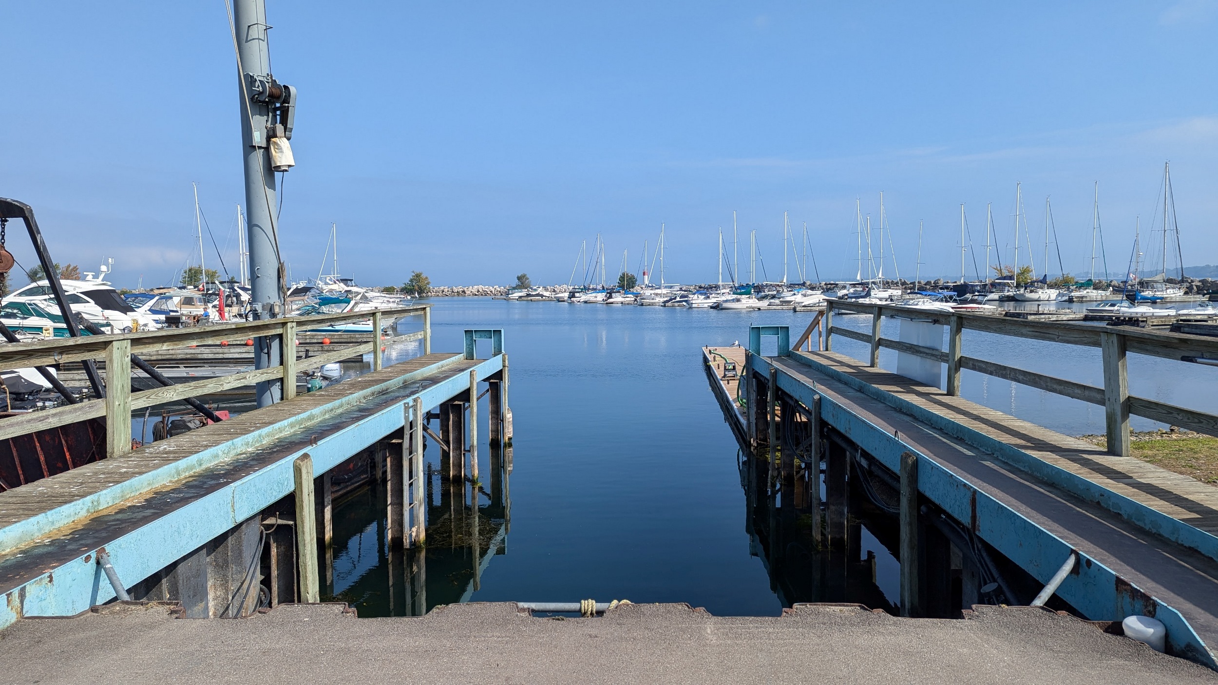
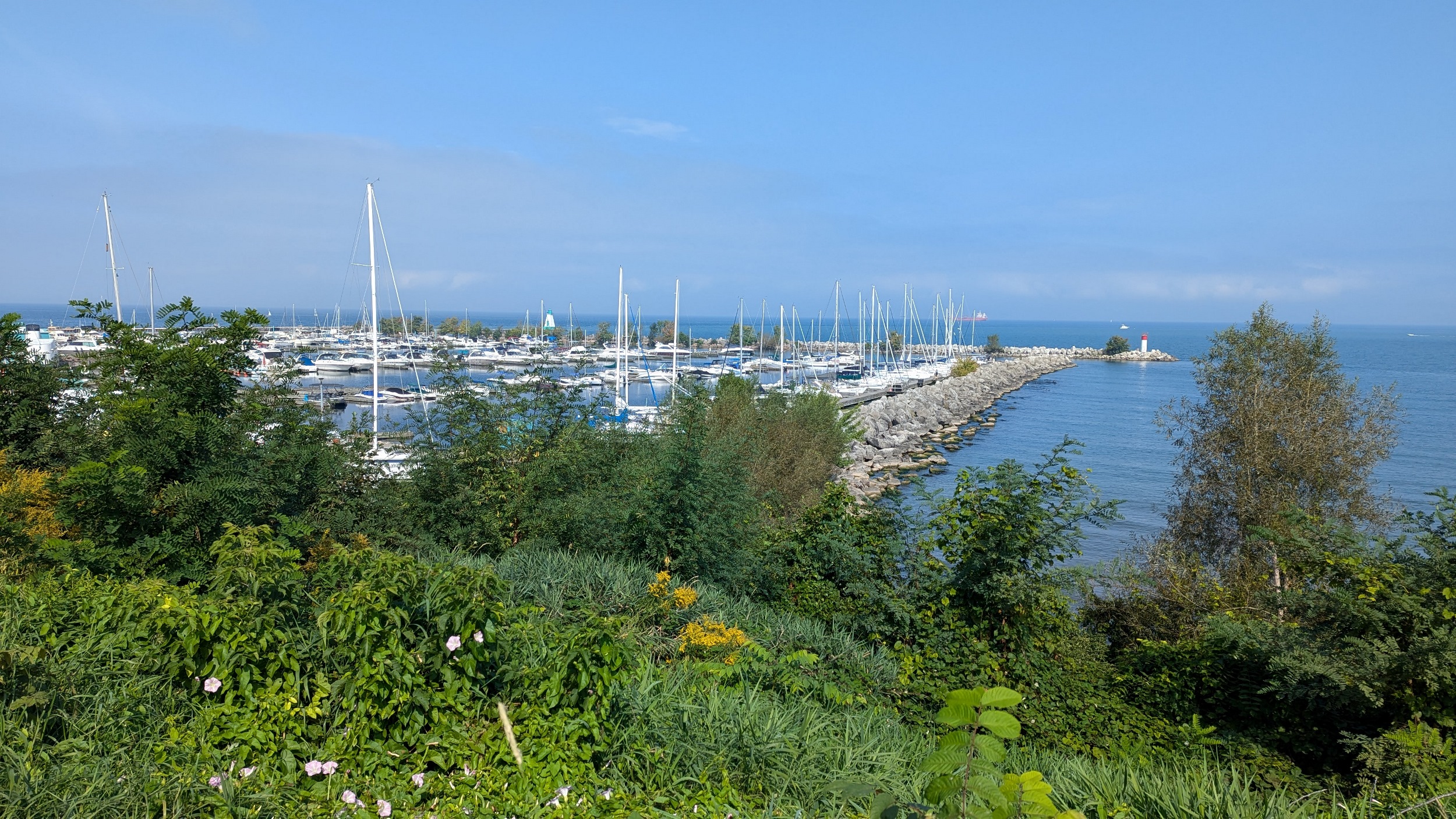
Down a slight slope that coincides with the drop at Heywood Generation Station (again no relation I’m aware of), and around some yacht yards. Then it’s a straight shot to the tip of the east pier.


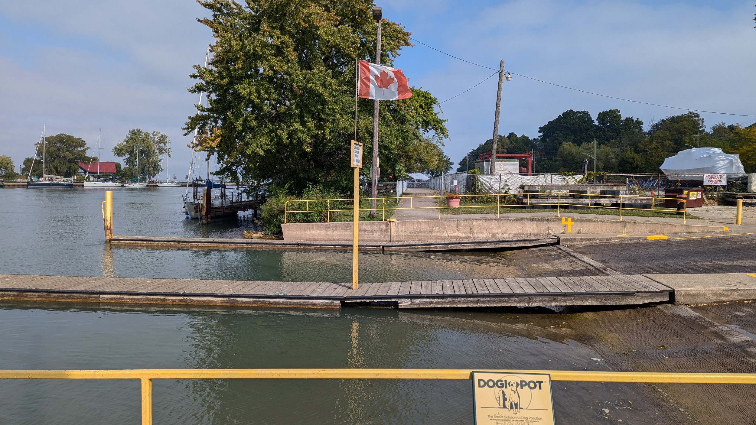

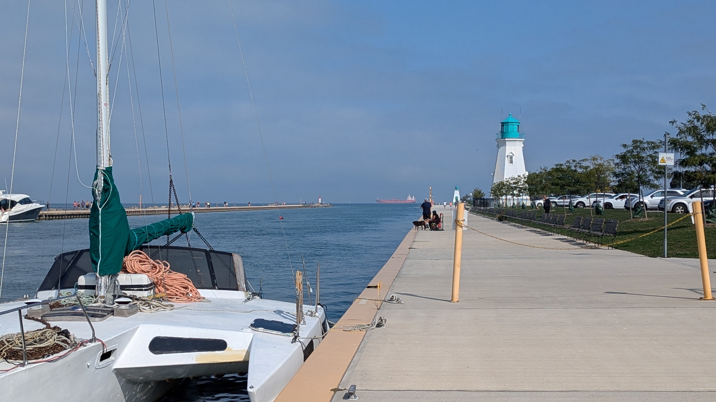
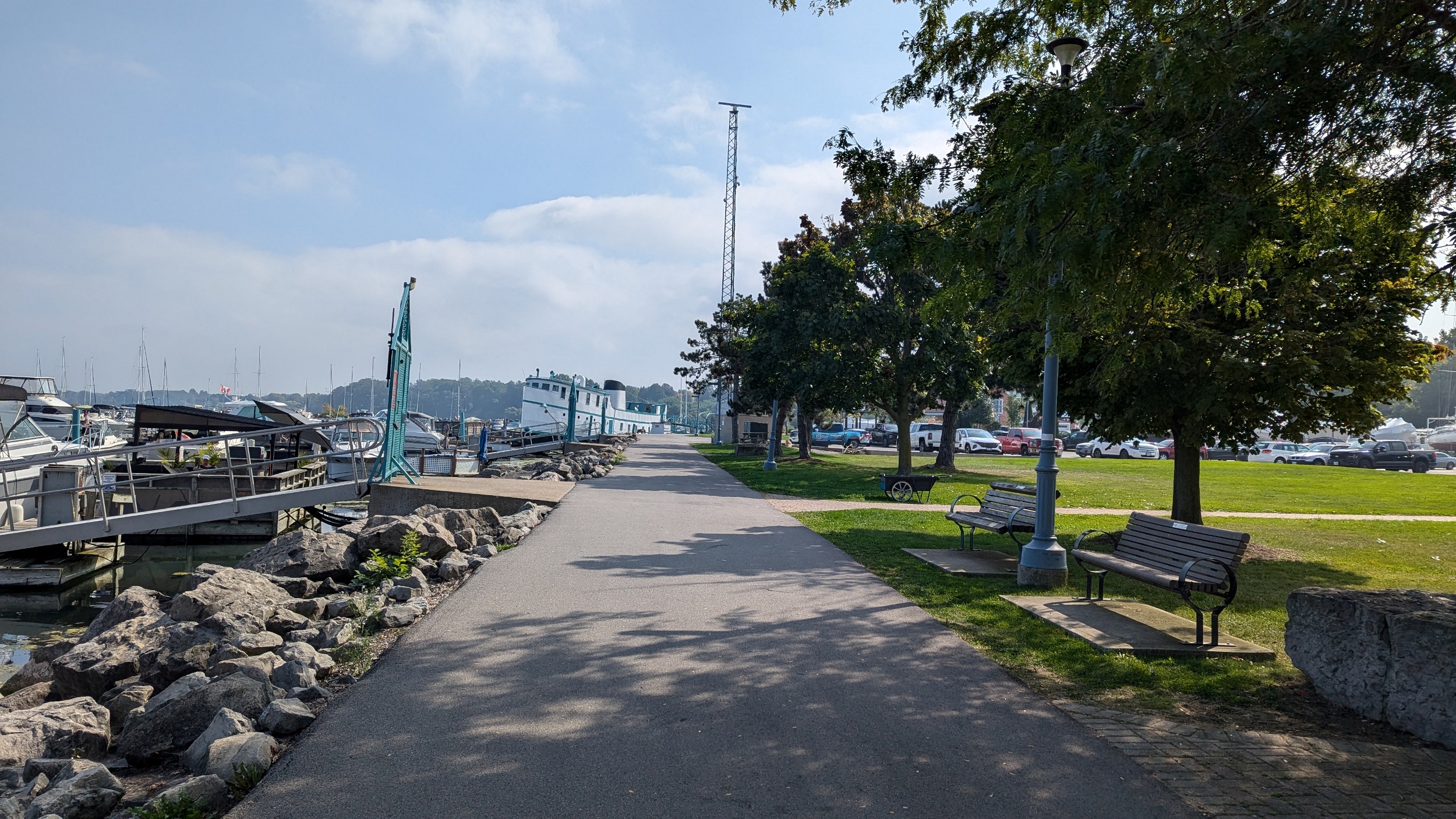
Around the lighthouse and back south from the pier’s end, past a rocky breakwall, then east again. You cut along a marina until scrambling up the bluff and continuing along the top.


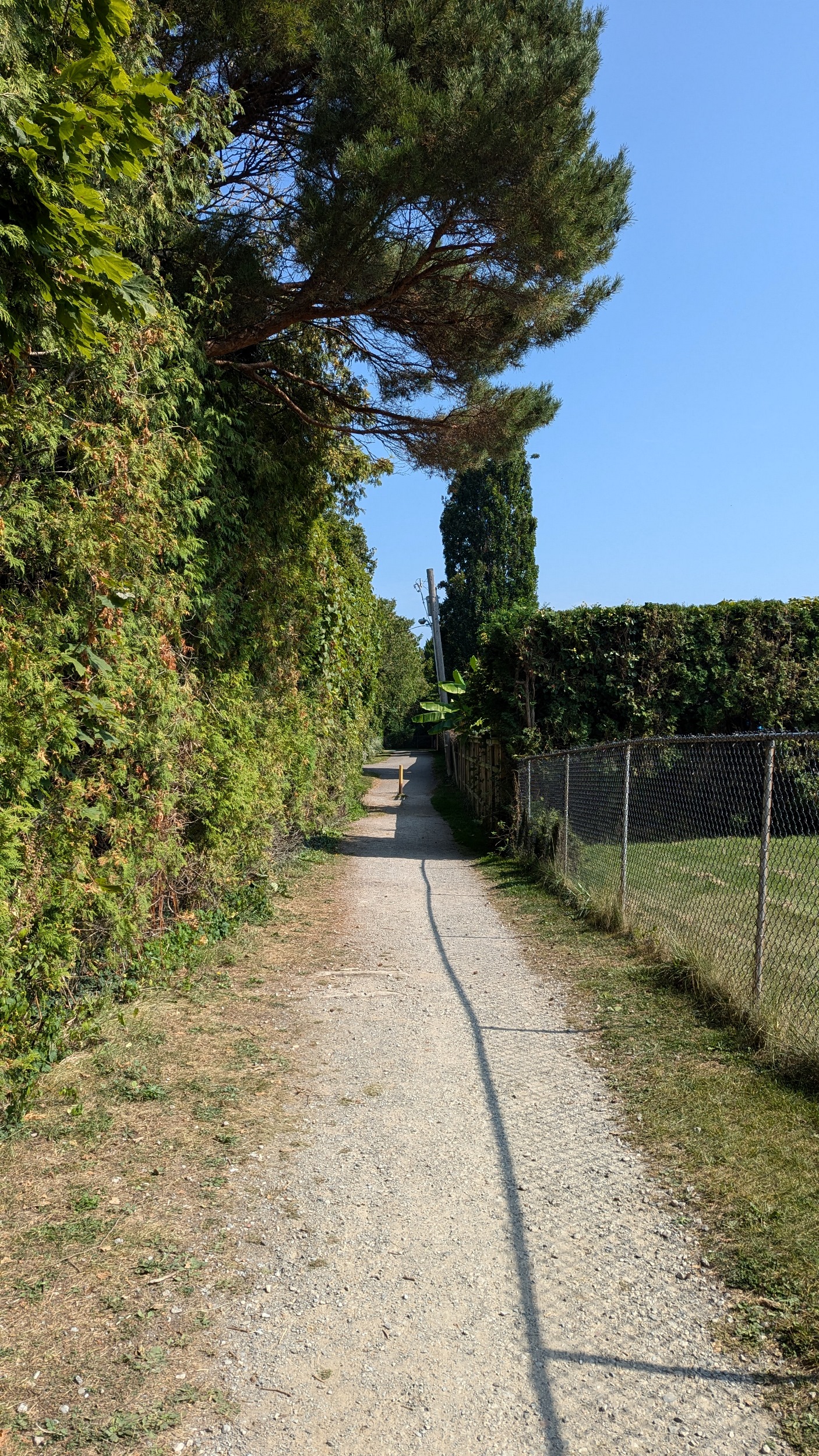
After exiting the park on Shore Boulevard, it’s a long detour around private backyards until you get to dedicated trails again off of Beachview Drive. An upper and lower trail exists here, which is nice. They meet again at Geneva Street.


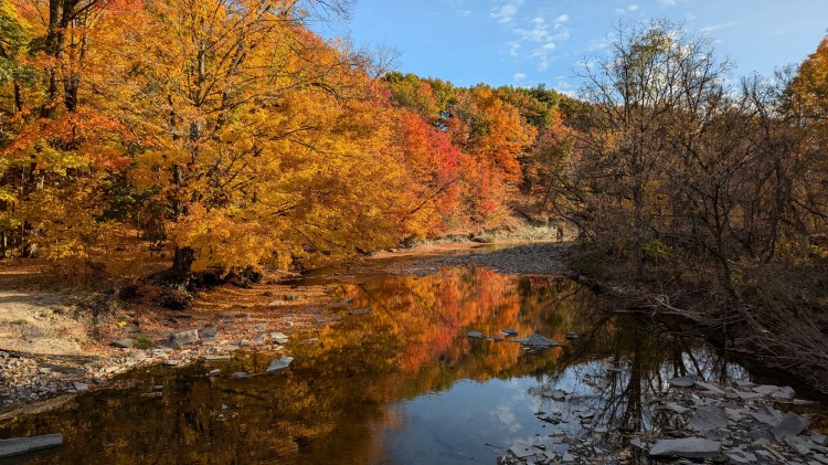
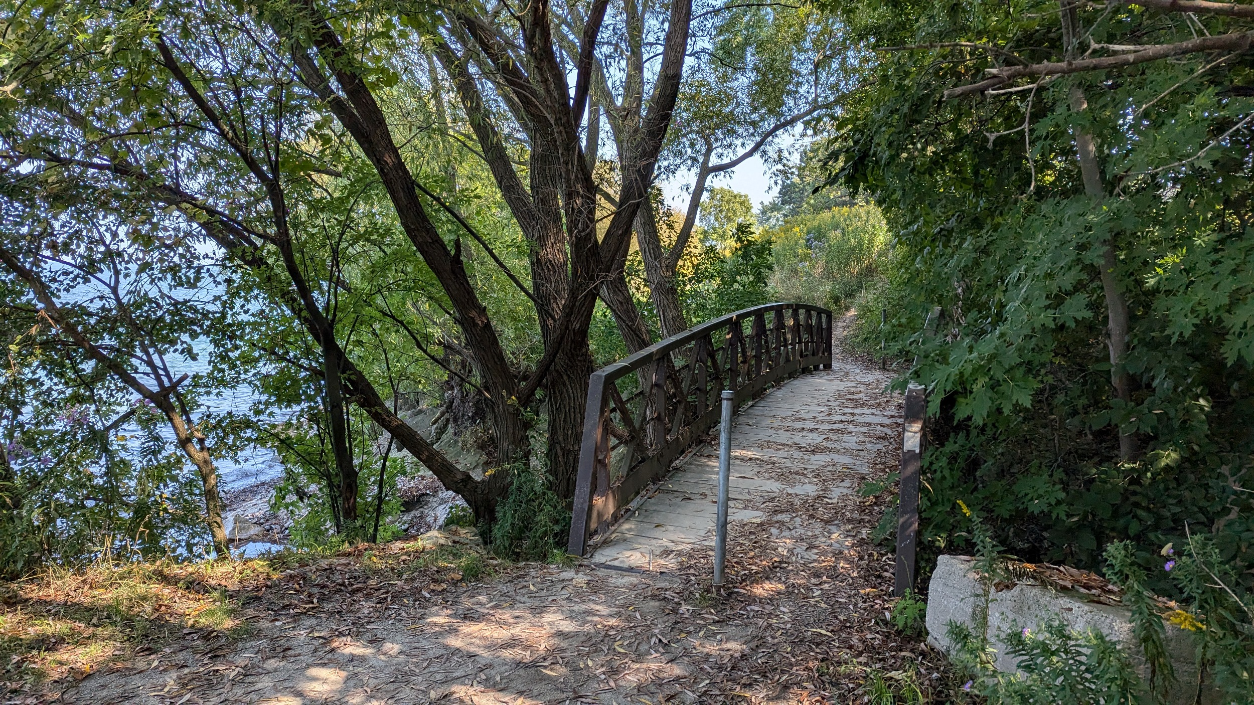
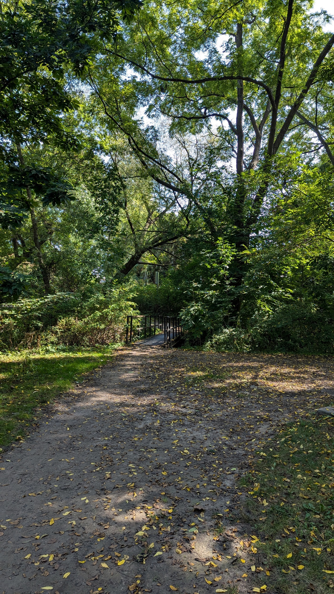
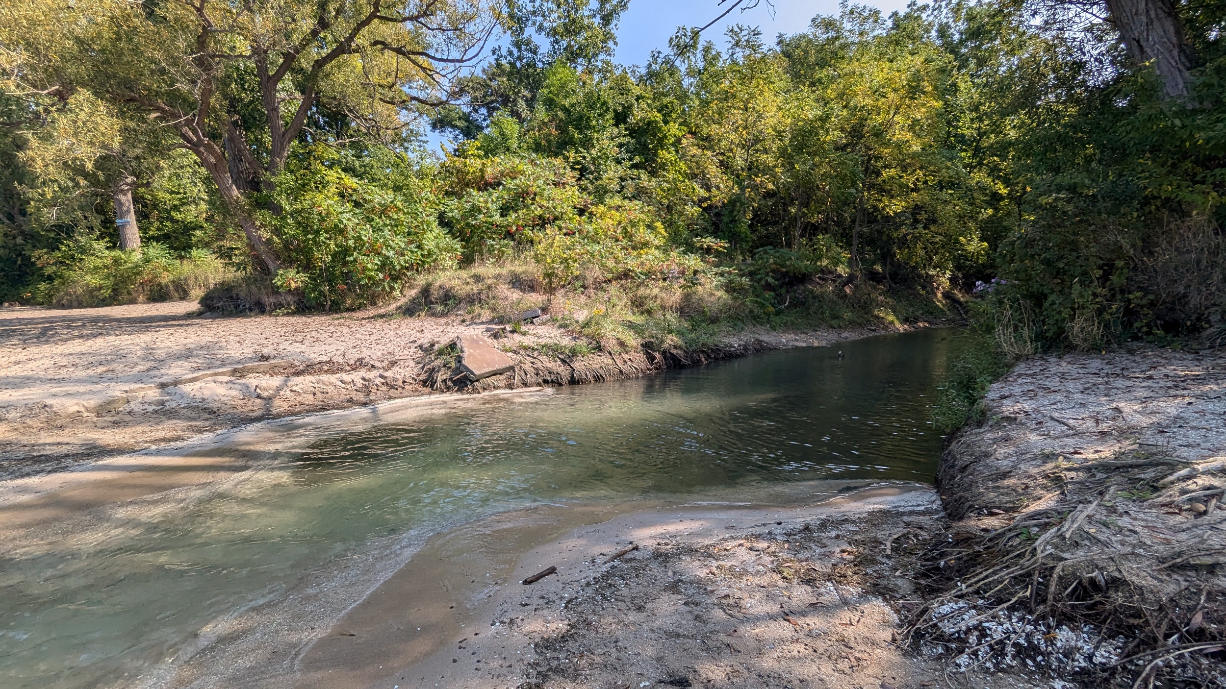
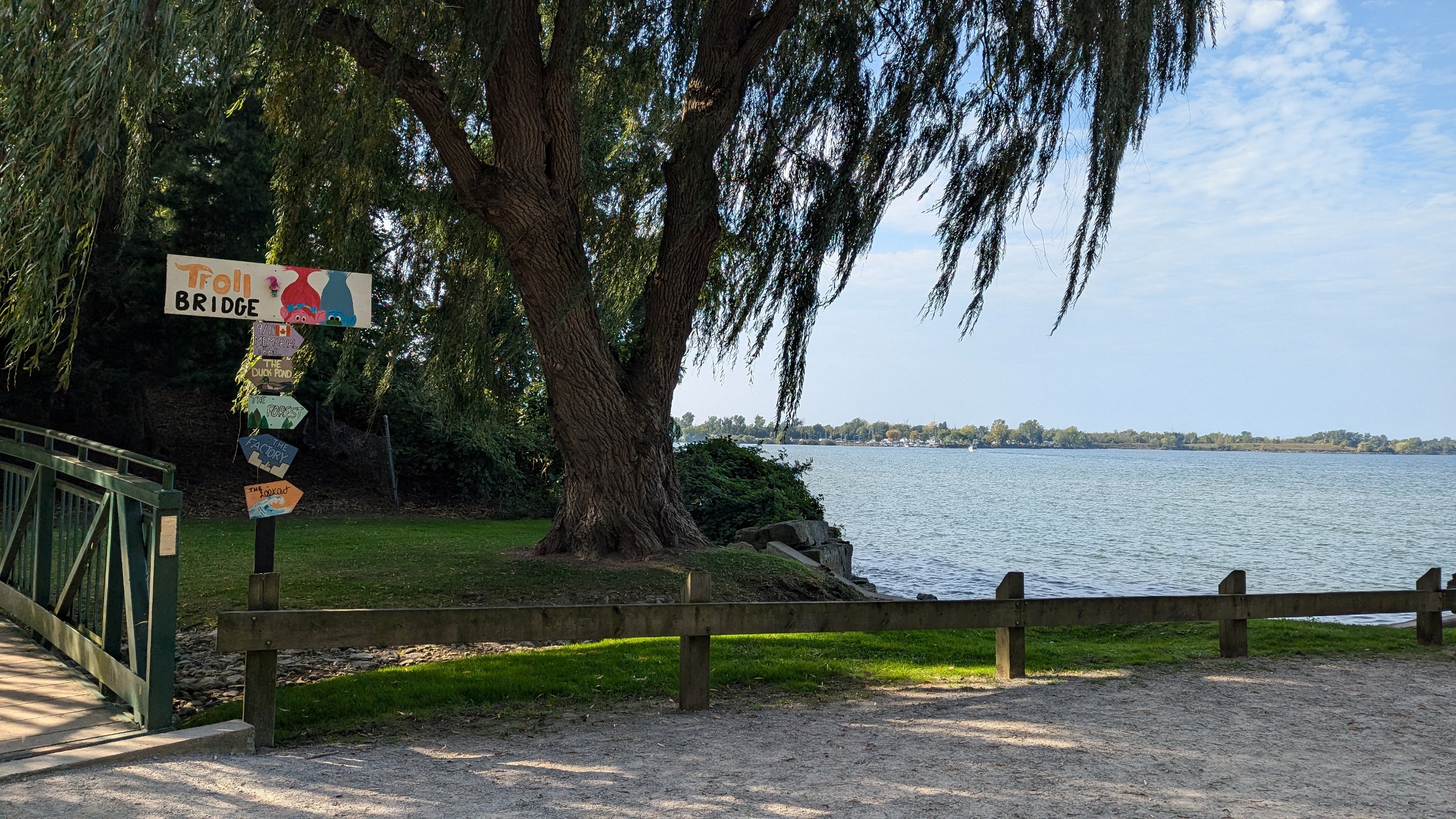
The park becomes terraced again after a short break. A wooden bridge leads you over a stream, and little beaches pop up alongside some small groynes. This uninterrupted stretch of shoreline comes to and end because of one mansion on Lantana Circle. Around two more properties at Butler and Vine, and back onto public parkland. Lakebreeze Park has no eastern access so it’s a single point in and out.


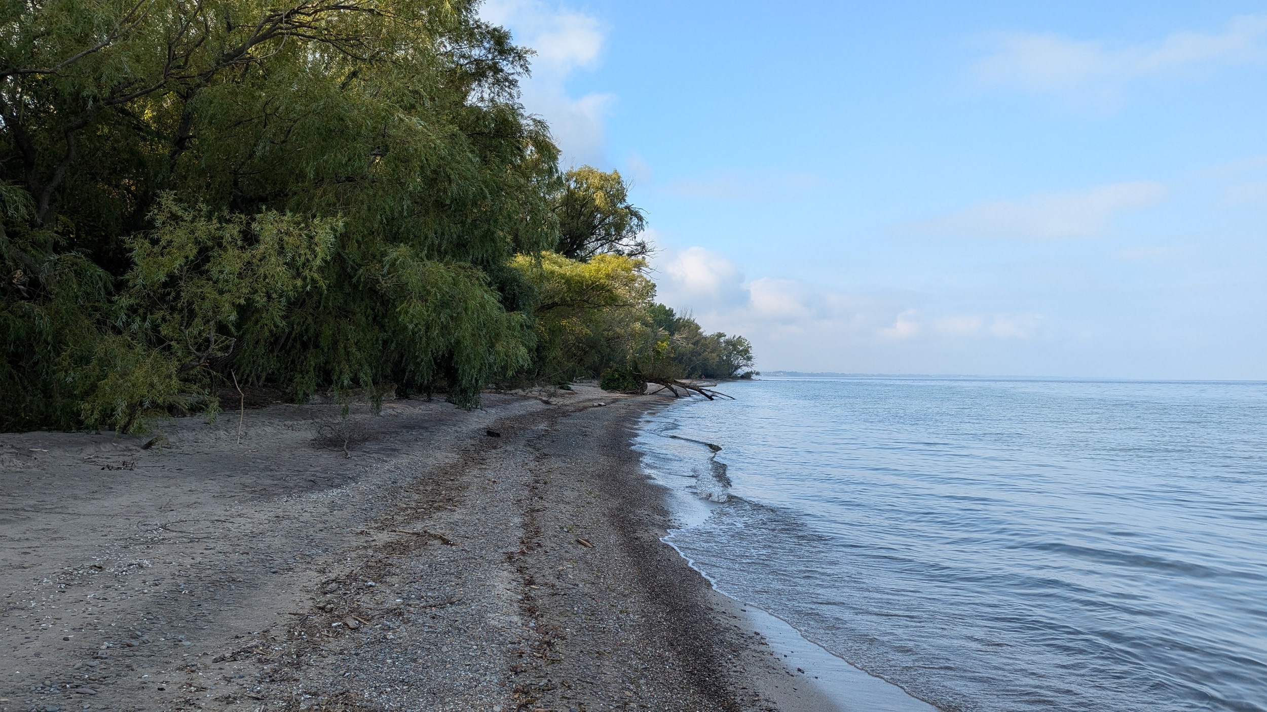
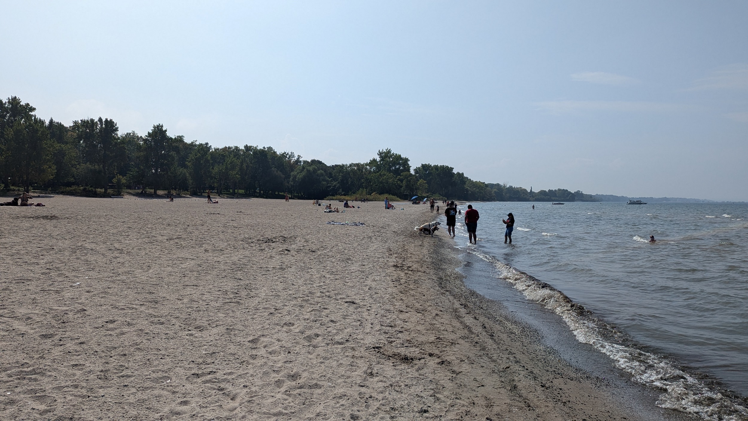
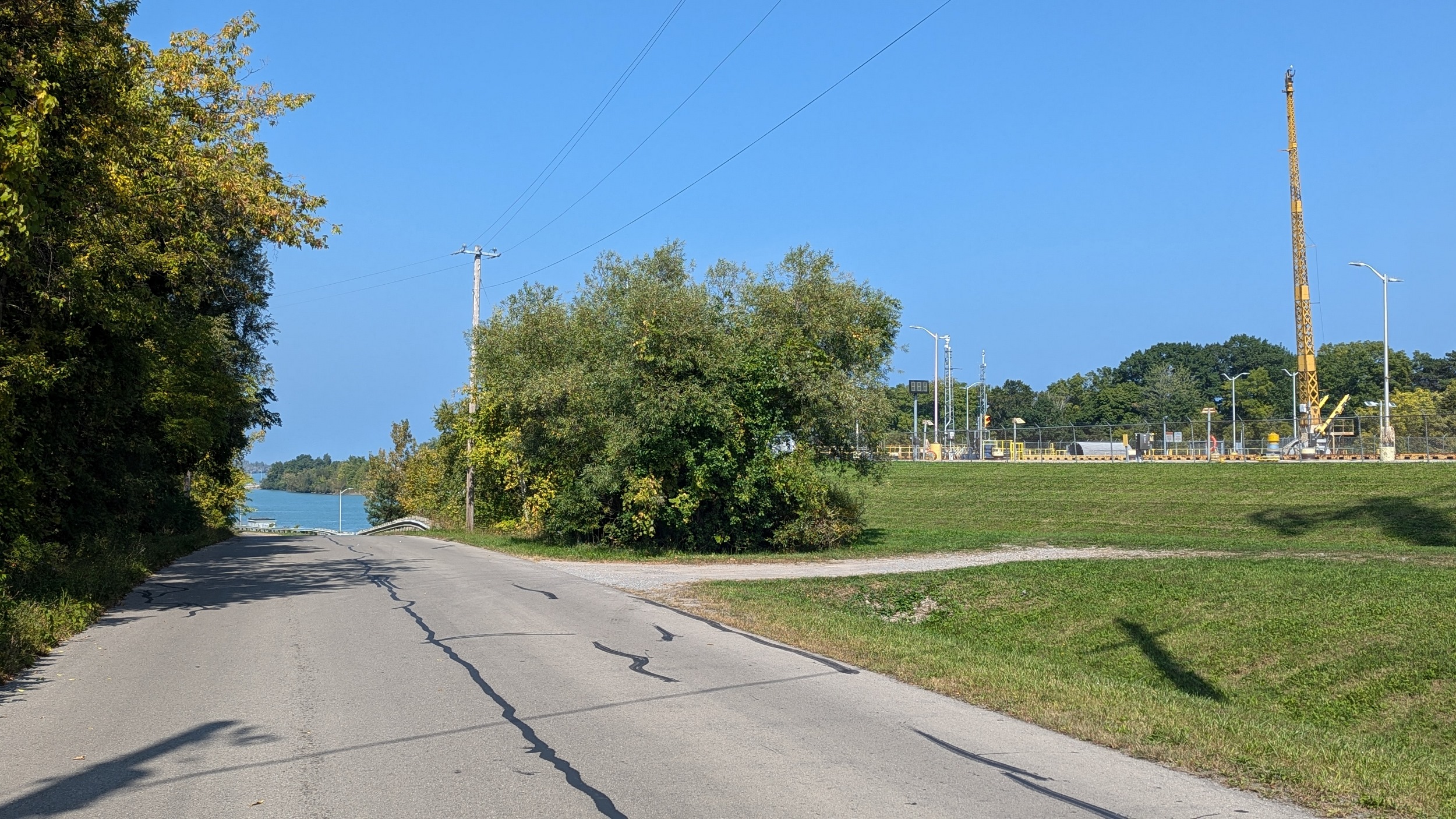
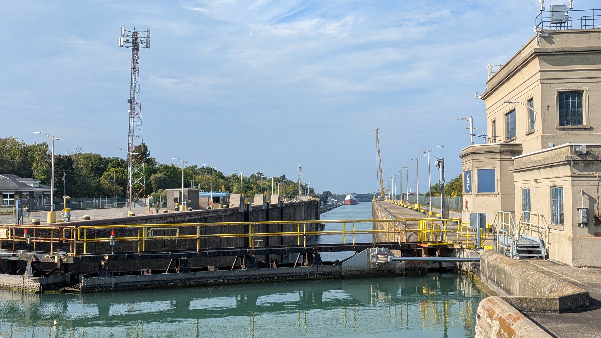
Over another stream, and onto Sunset Beach. It’s a great beach day for mid September. It widens as you approach the west pier of the Welland Canal, which itself is a restricted area for the Canadian Coast Guard.

Much like at 12 Mile Creek, it’s a detour to get around to the east pier. This time around, it’s longer and more industrial than quaint little Port Dalhousie.


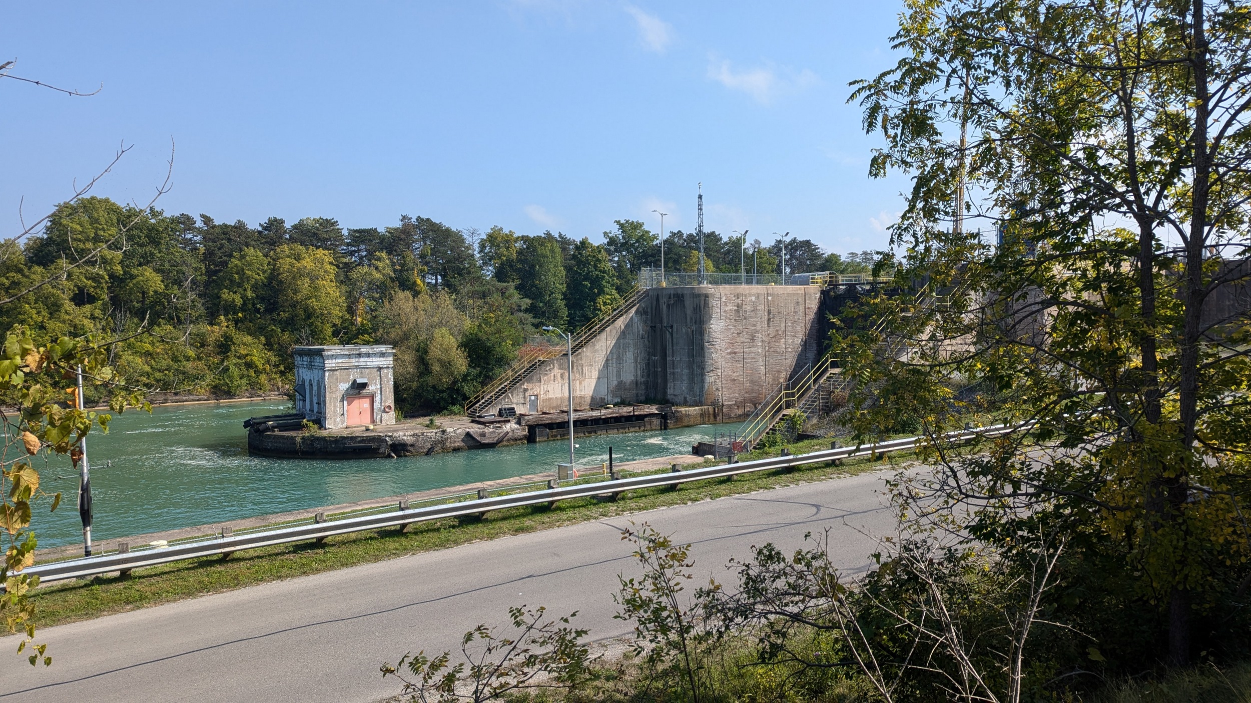

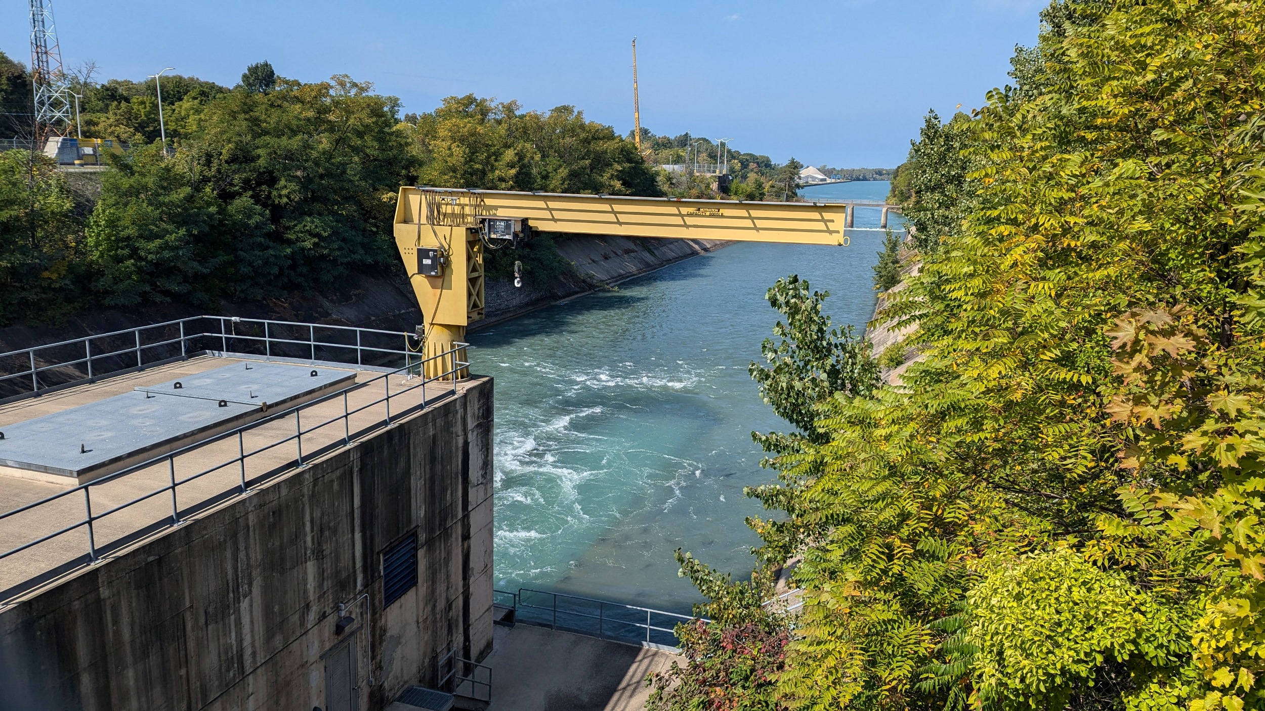

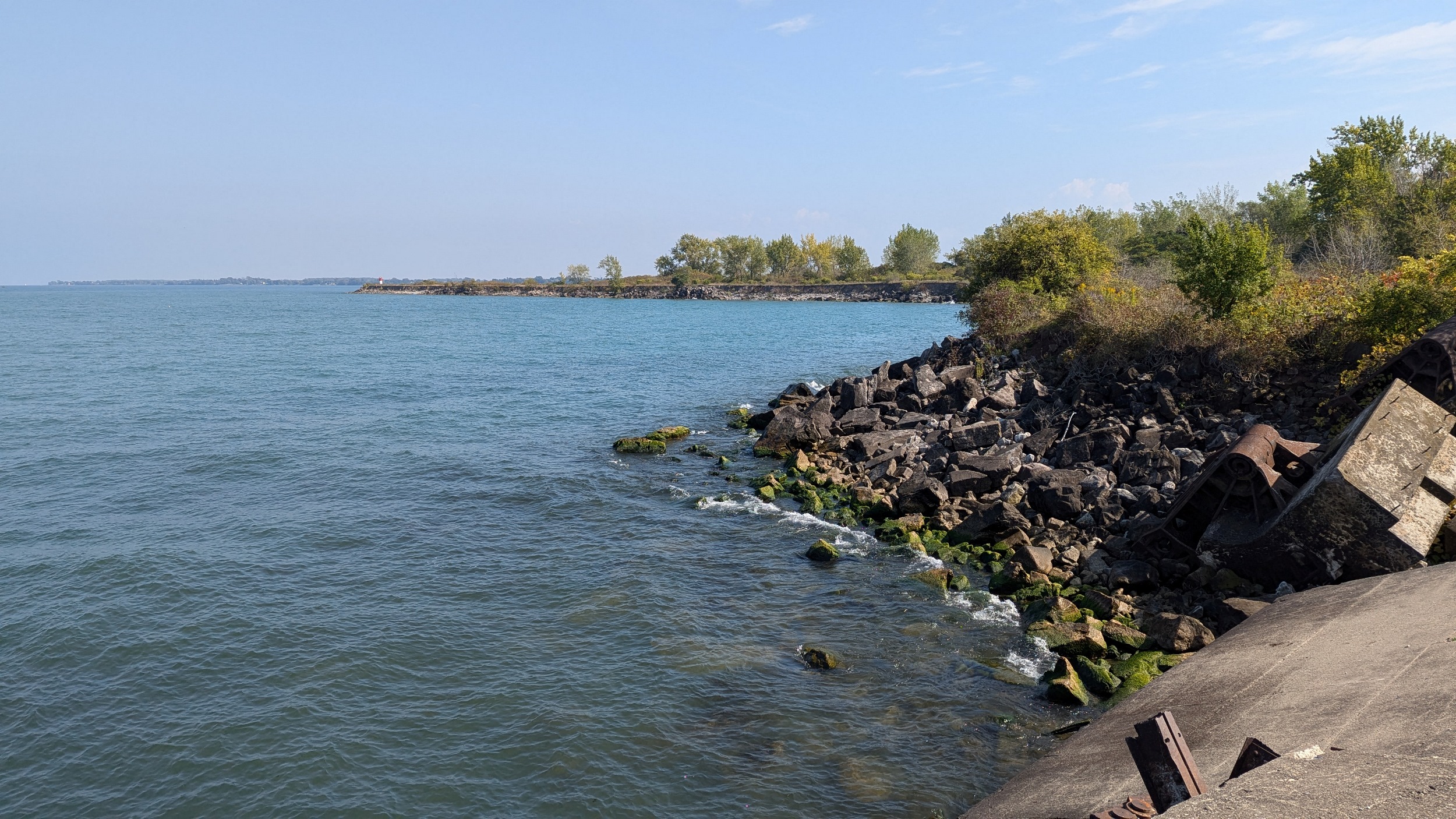
The Welland Canal East Pier is long, really really long. But it’s needed to handle the big freighters that come through here. Add a little more distance to get to the tip of an arm, and it’s 4 km one way.


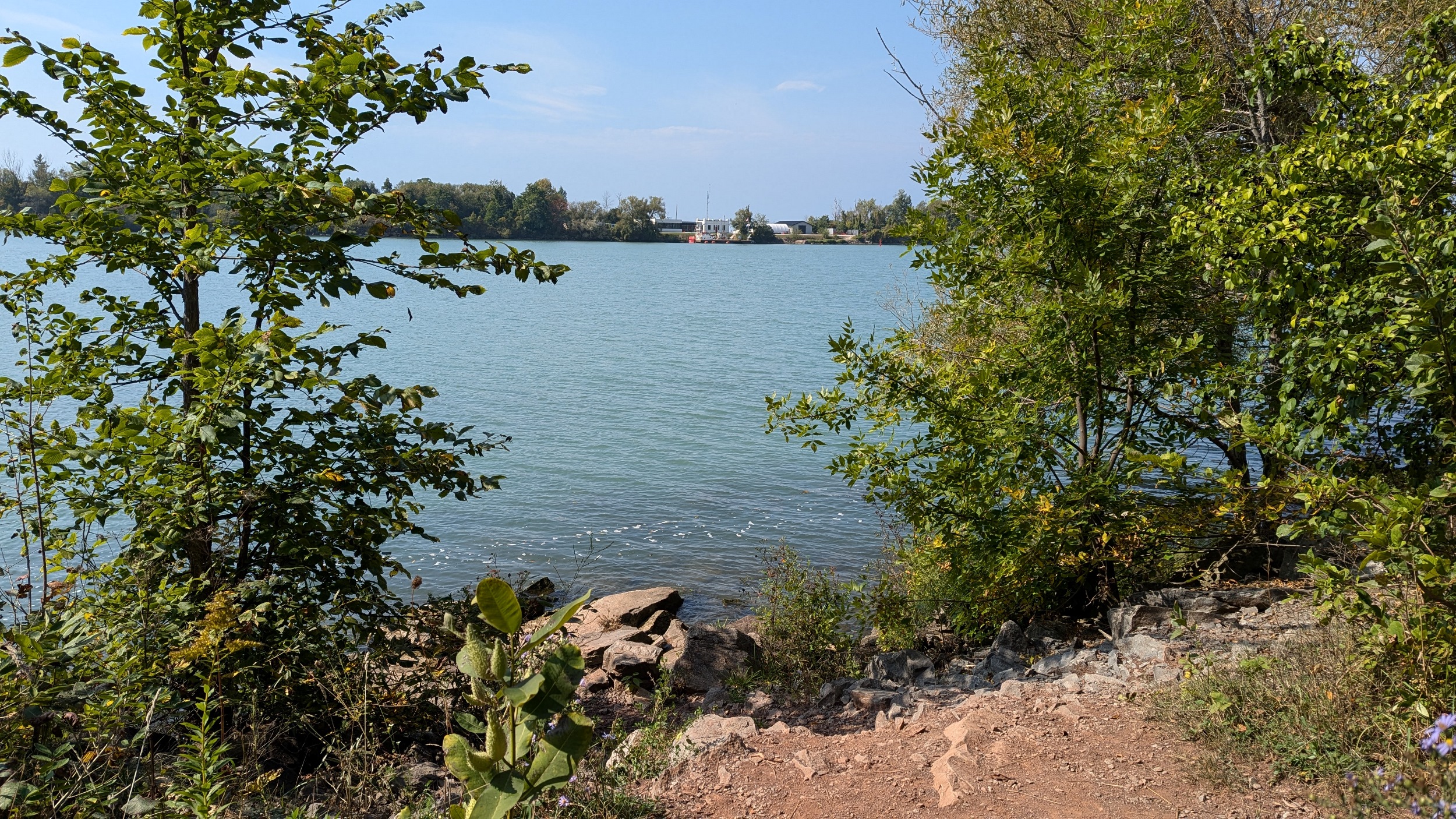


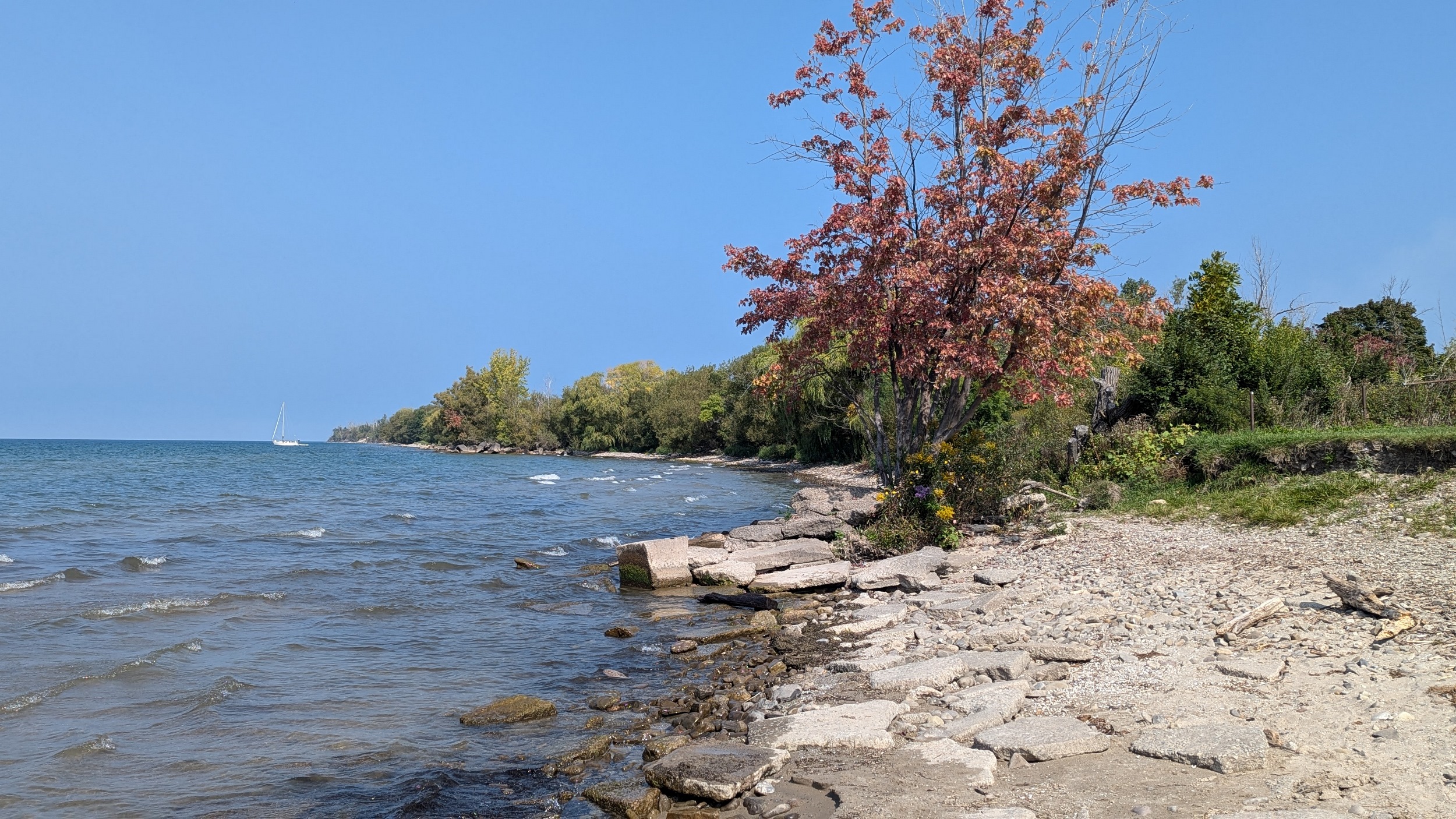
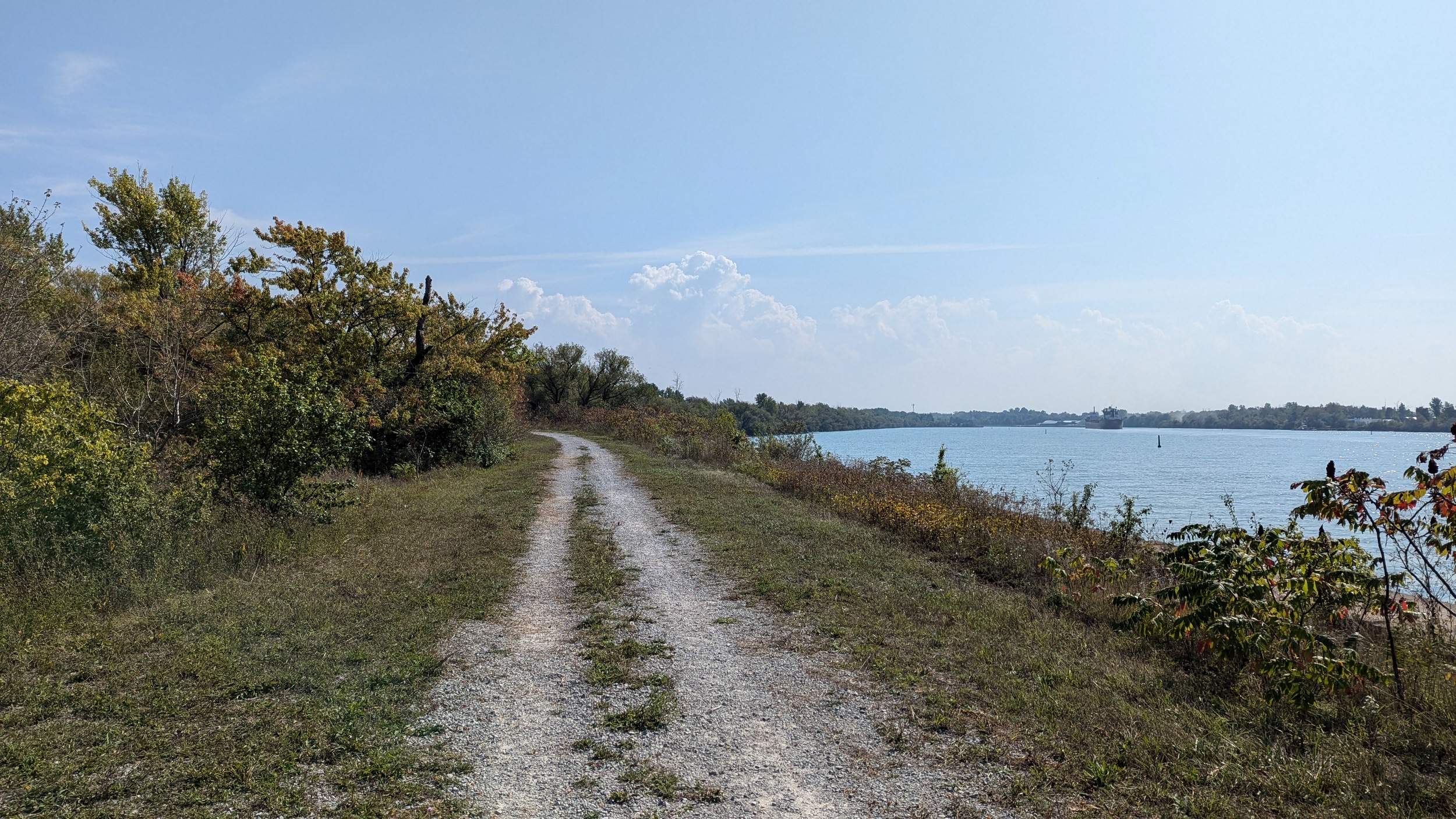
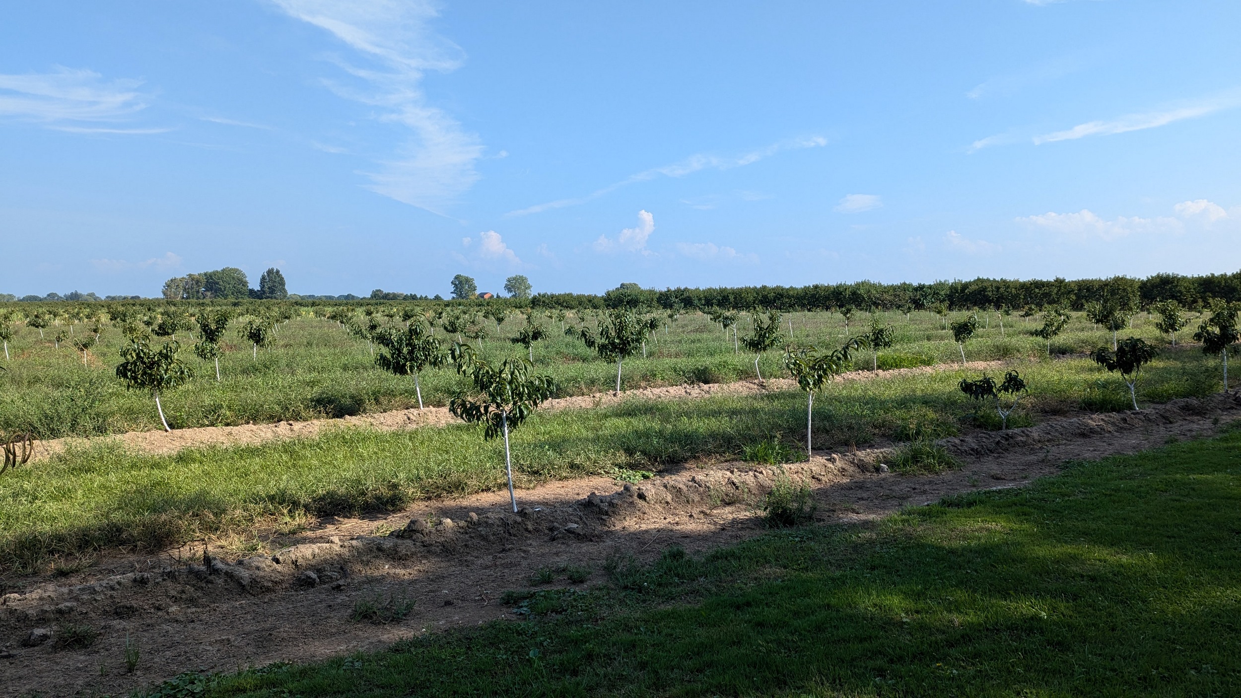
It’s a long, hot trek down from the tip, and the trail is set away from the shoreline, making it even more sweltering. Eventually you get to Jones Beach, where you meet the lake and feel the breeze again.


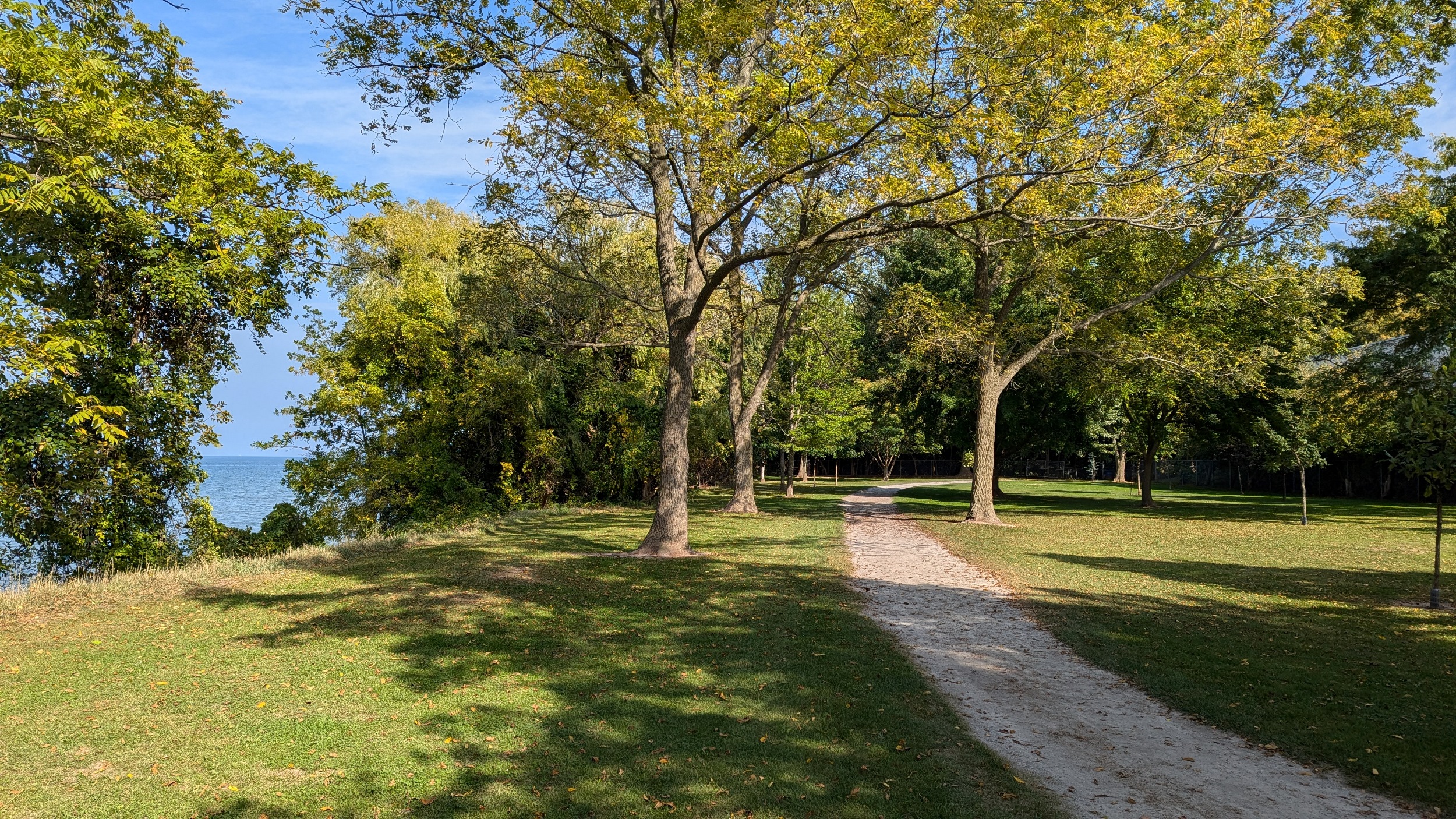
A short glimpse from Newport Street, and then the final park at Happy Rolph’s takes you to Reed Street. 2 extra kilometres from the city’s northeast corner to the nearest bus stop caps off my adventure along St Catharines’ shoreline.


Date: September 22, 2024
Length: 26.9 km
Type: Shoreline