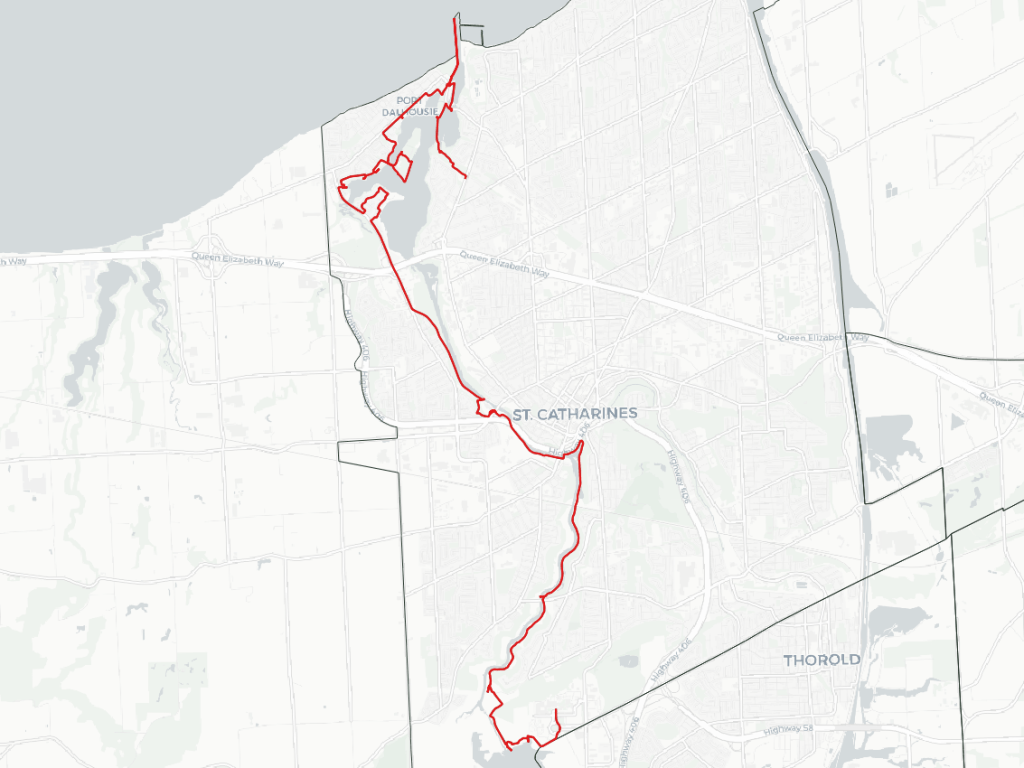
Good morning from Brock University. Today I will be following 12 Mile Creek in St Catharines. I’ll start from the DeCew Generating Station, and head down to it’s confluence at the Lake. Let’s go.
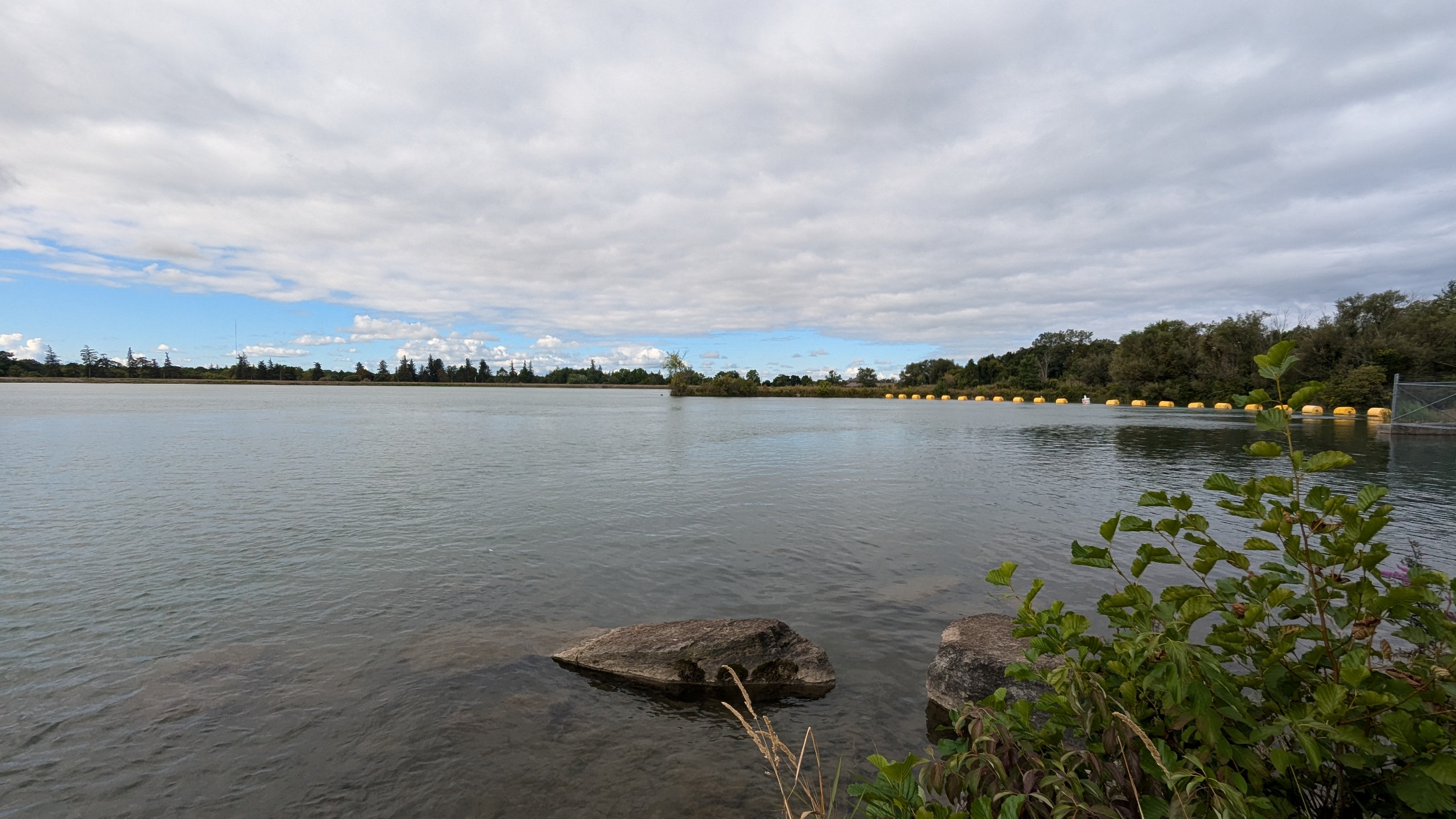
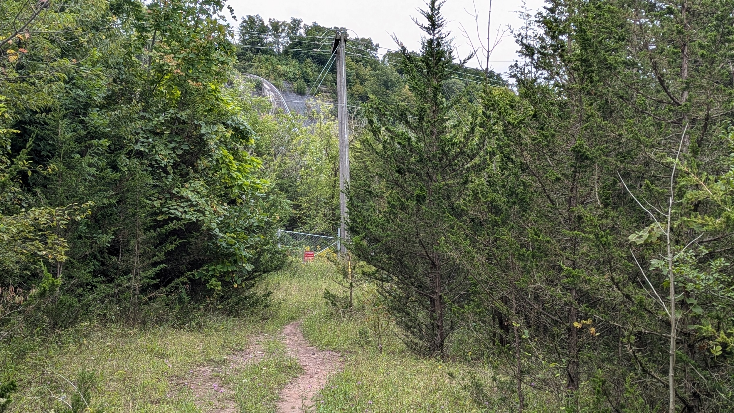
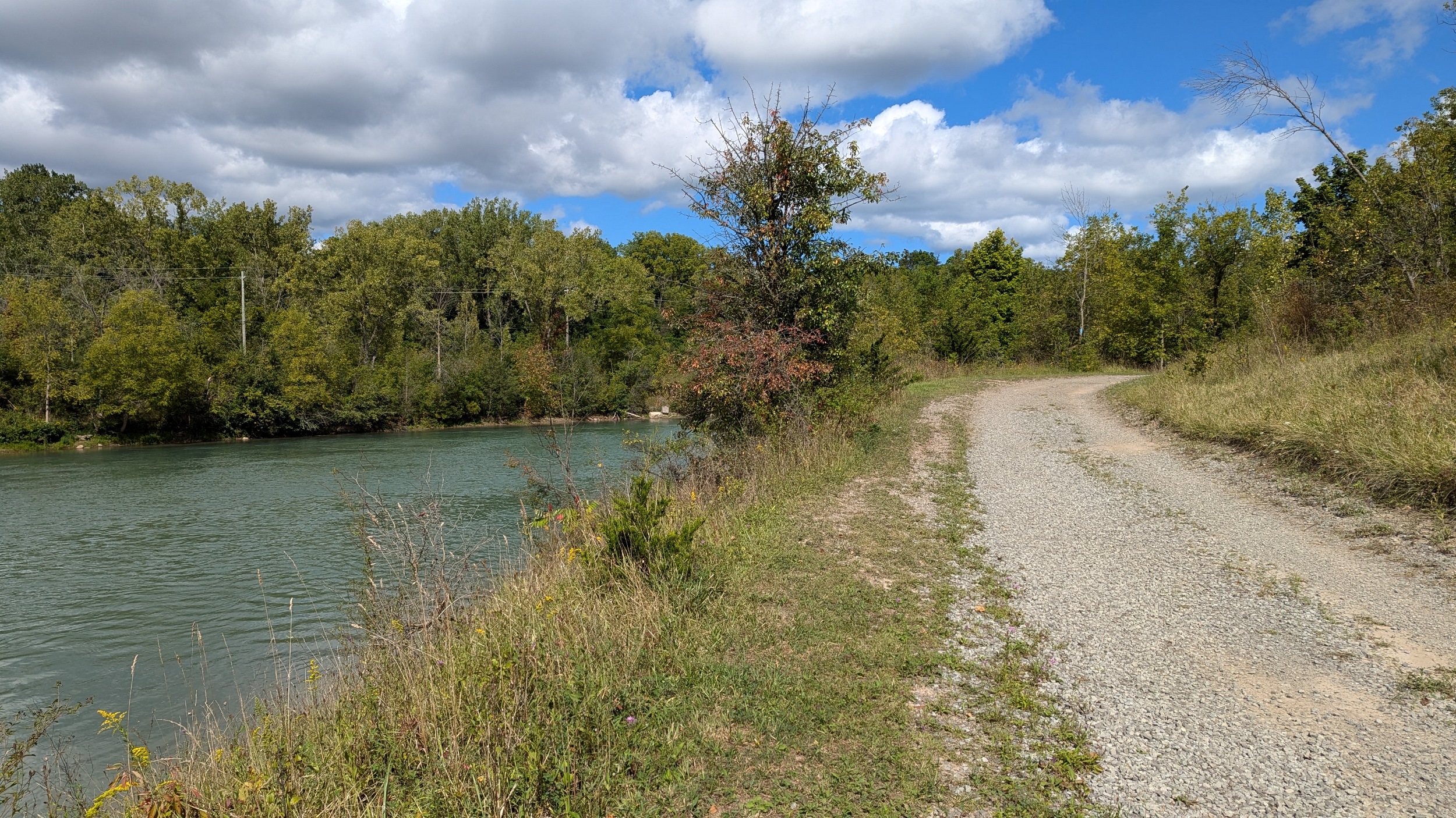
A wide gravel road and winding segment of the Bruce Trail lead you to Lake Moodie, the reservoir inbehind the generation station. There’s a nice view, and then you head along a fence protecting the dam’s intake channel.
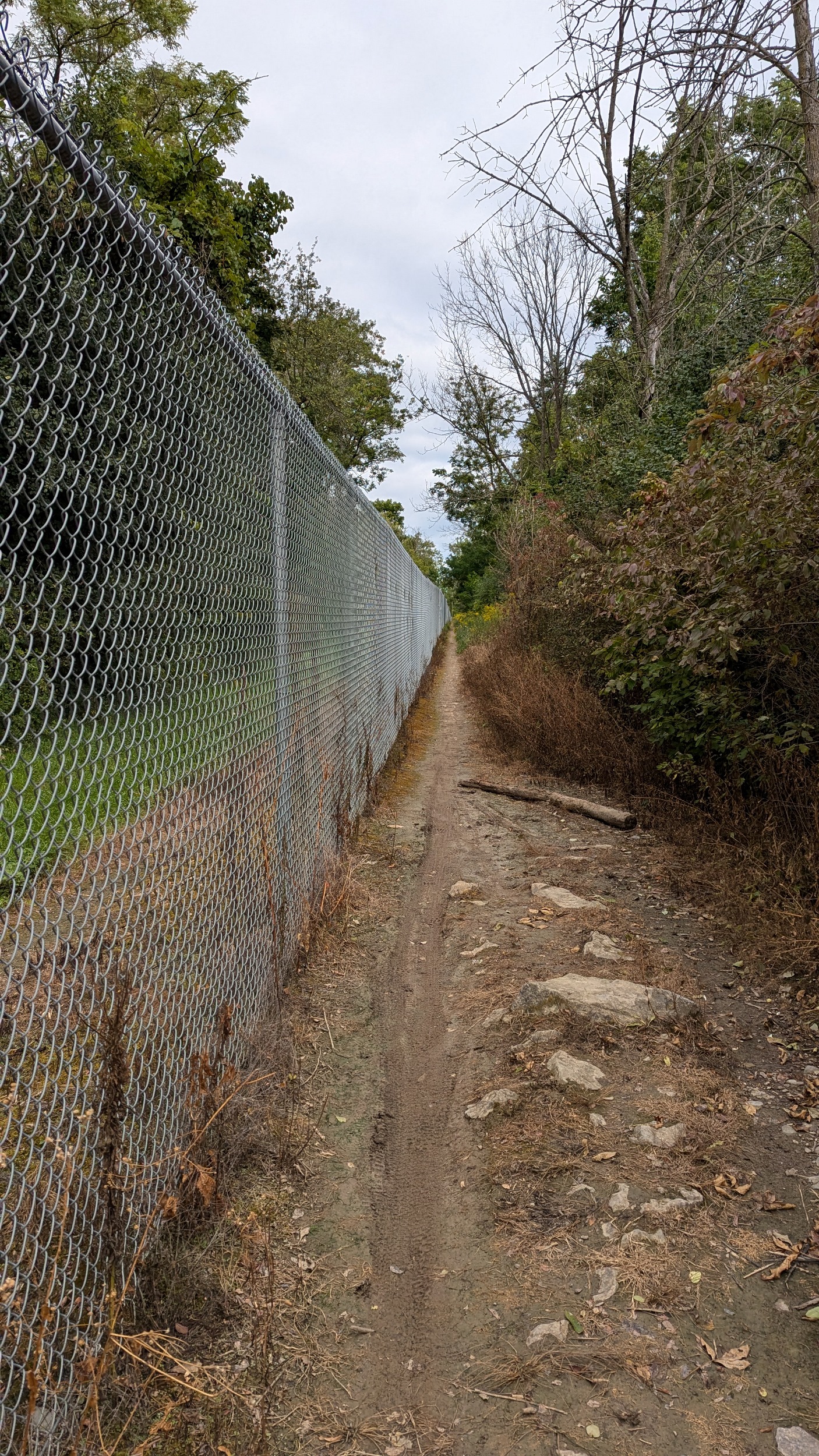
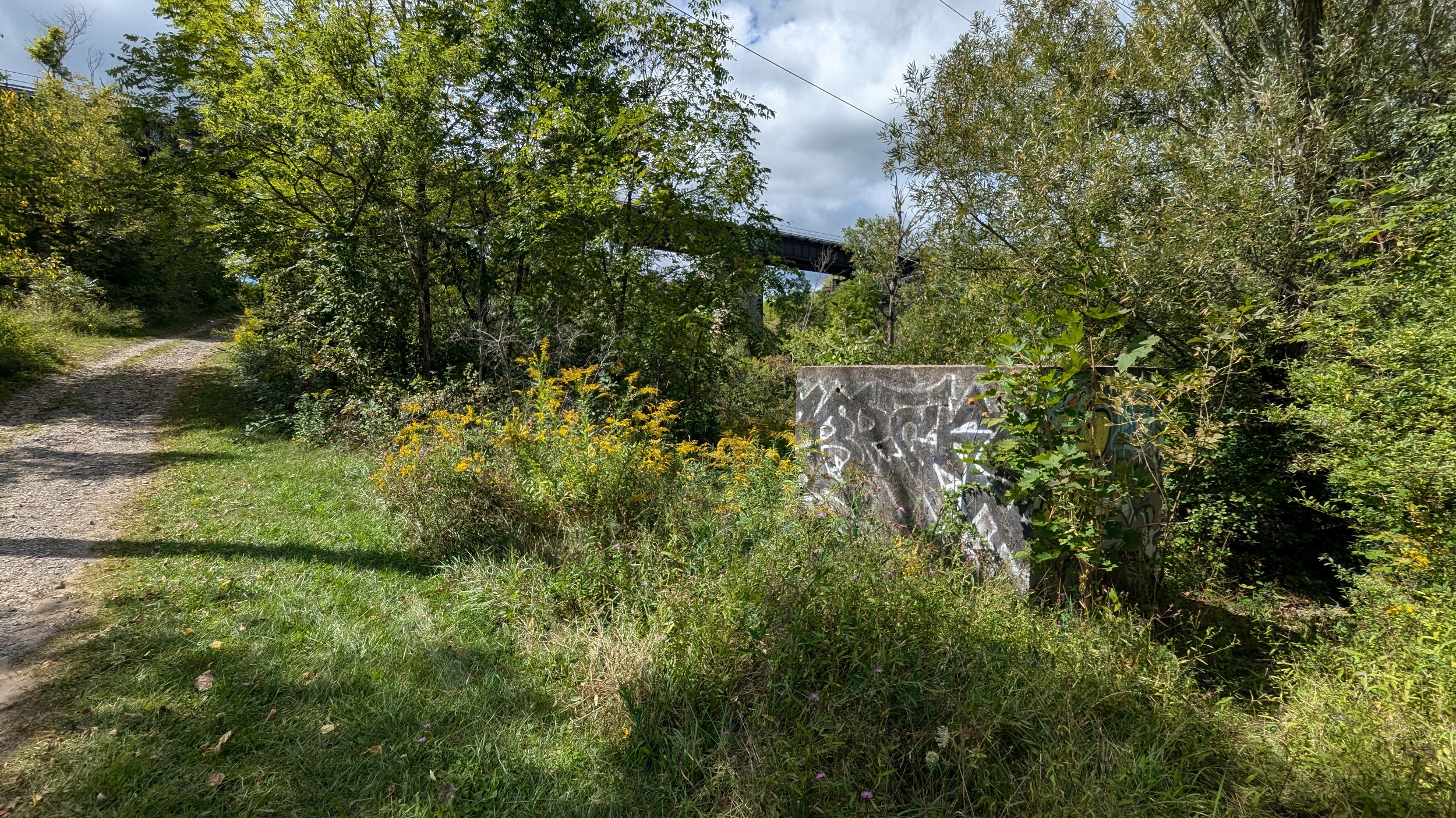
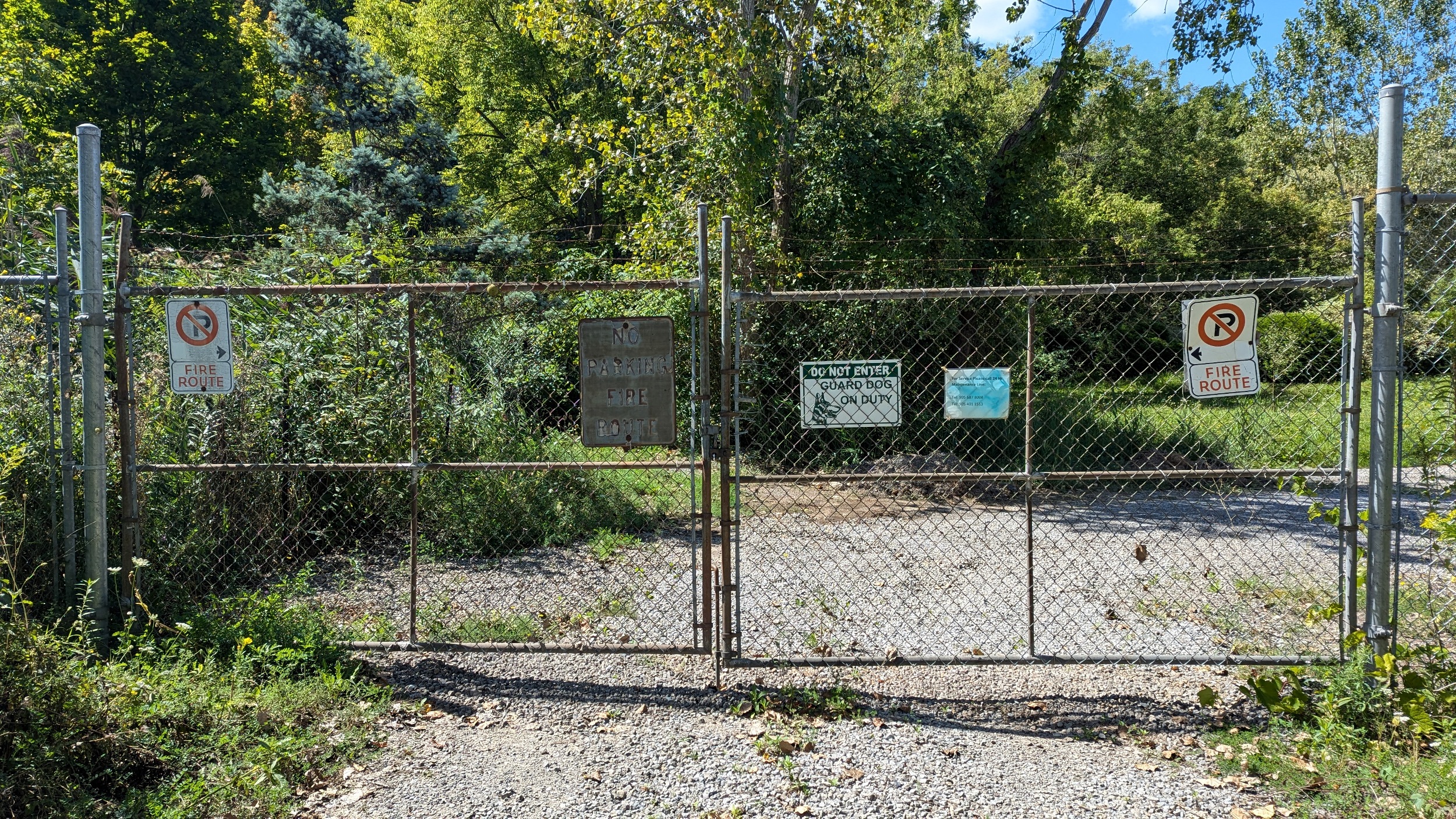
Arrival at the head house, which is completely restricted from access, being a barrier to the natural DeCew Falls and the trail along the west bank of 12 Mile Creek. Then it’s a sharp decline down the escarpment to the foot of the valley, and the gate to the generation station.
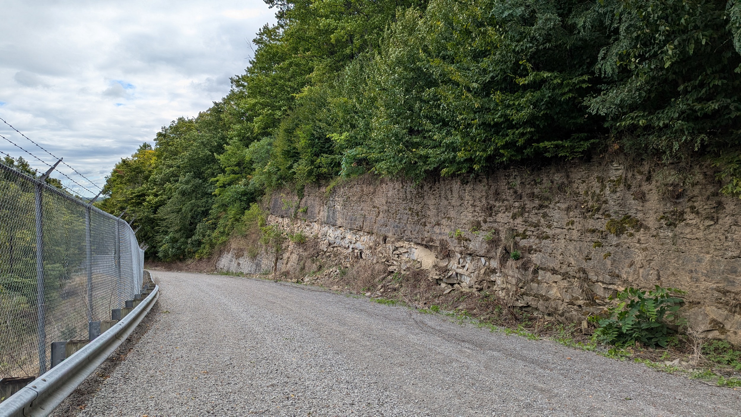
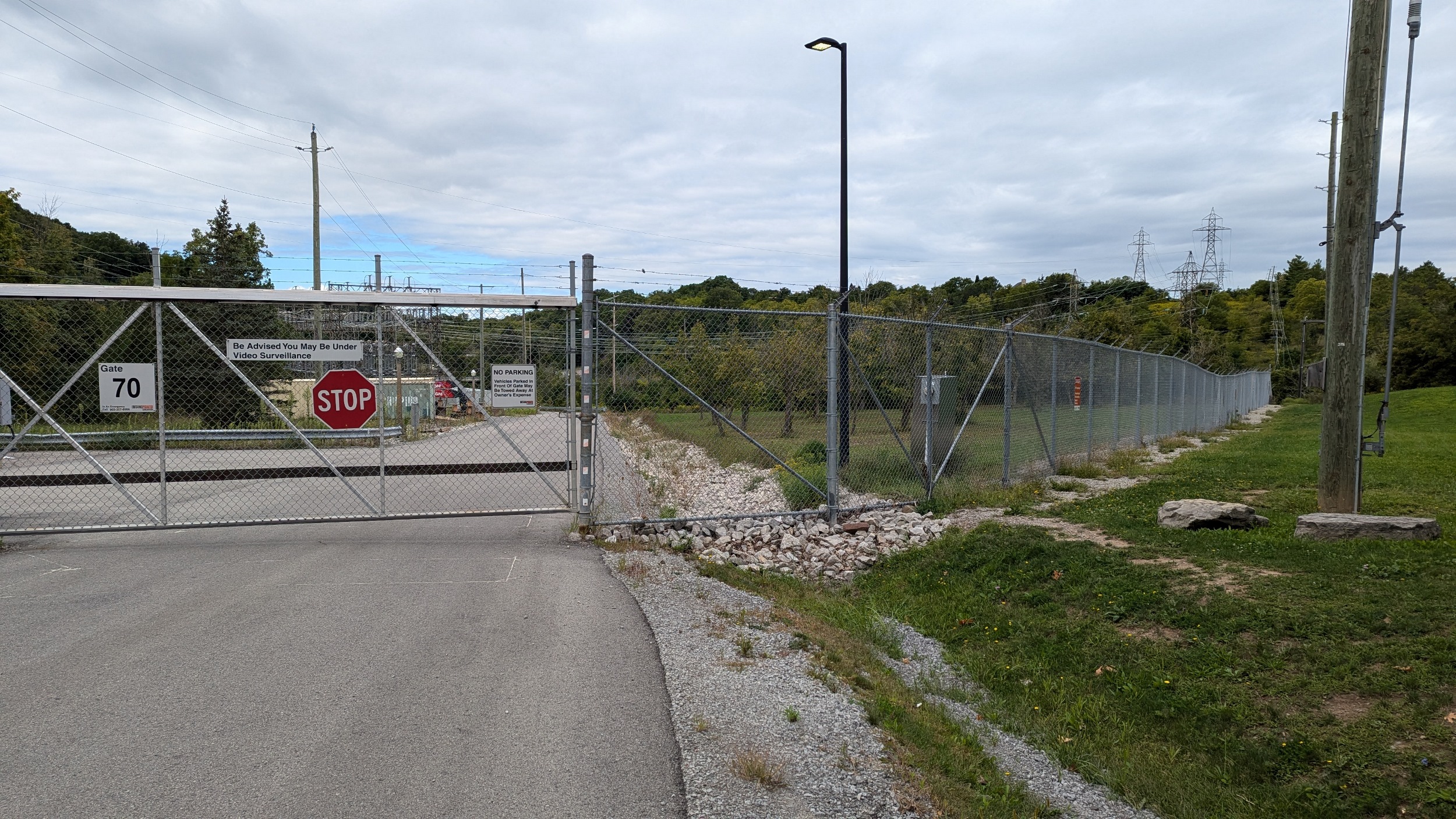
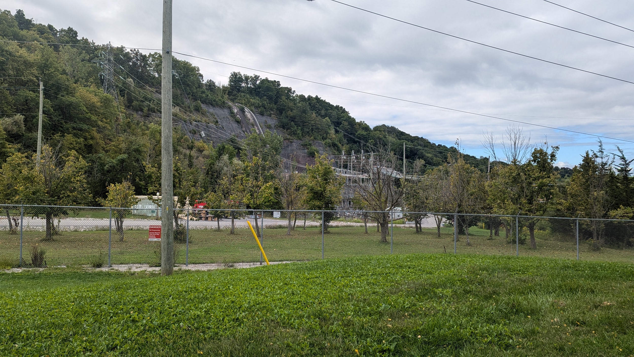
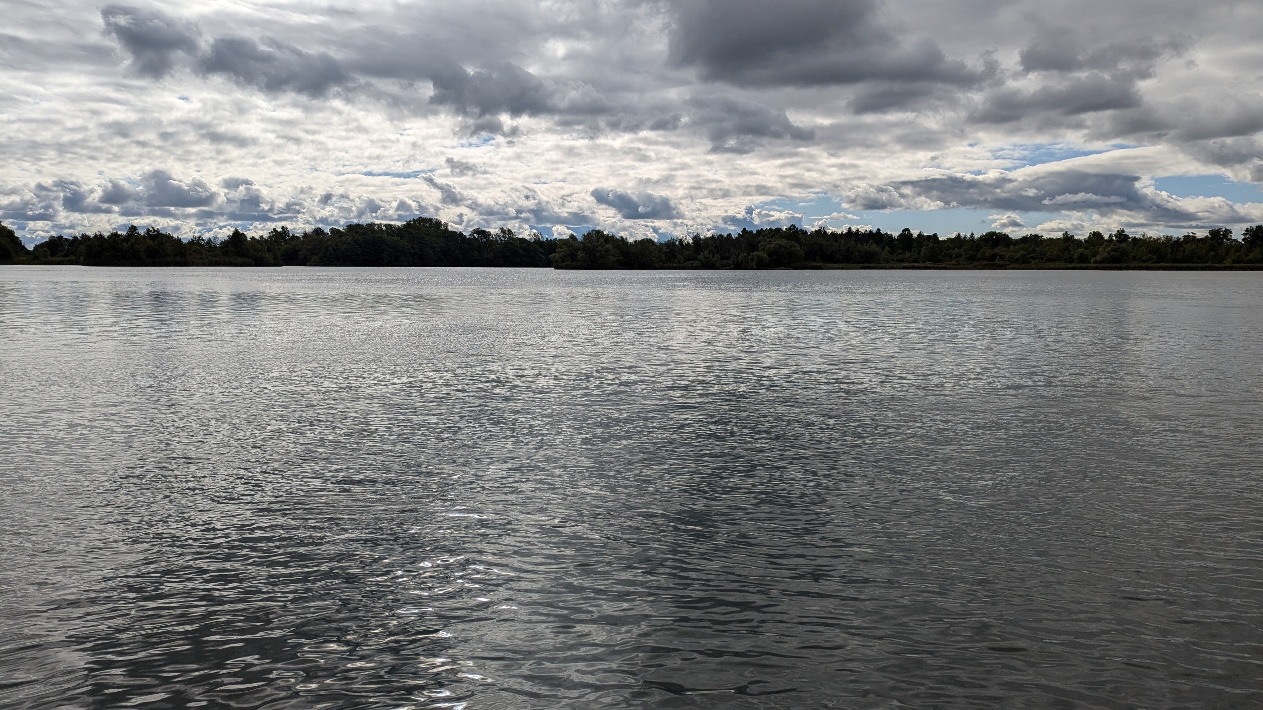
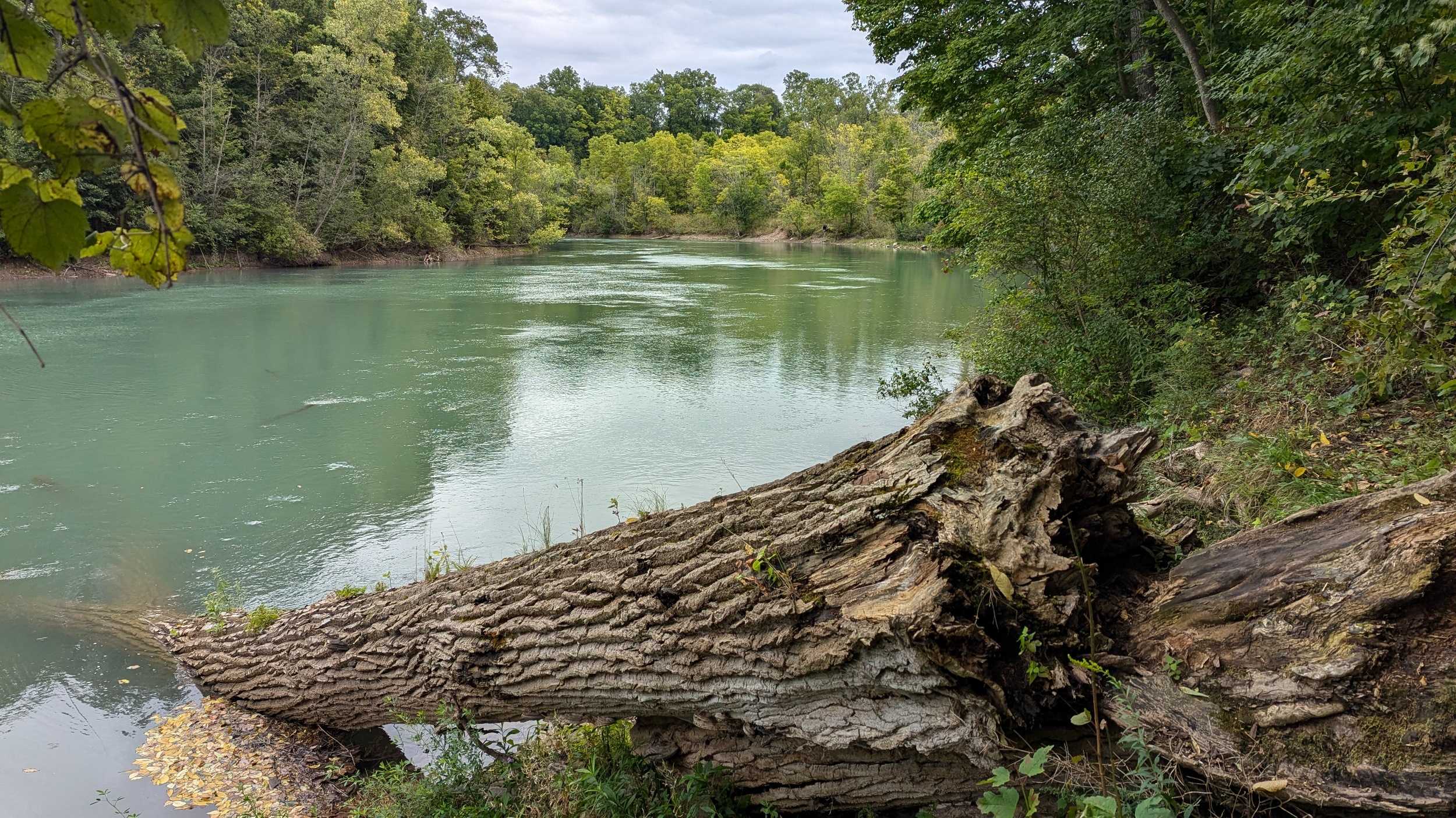
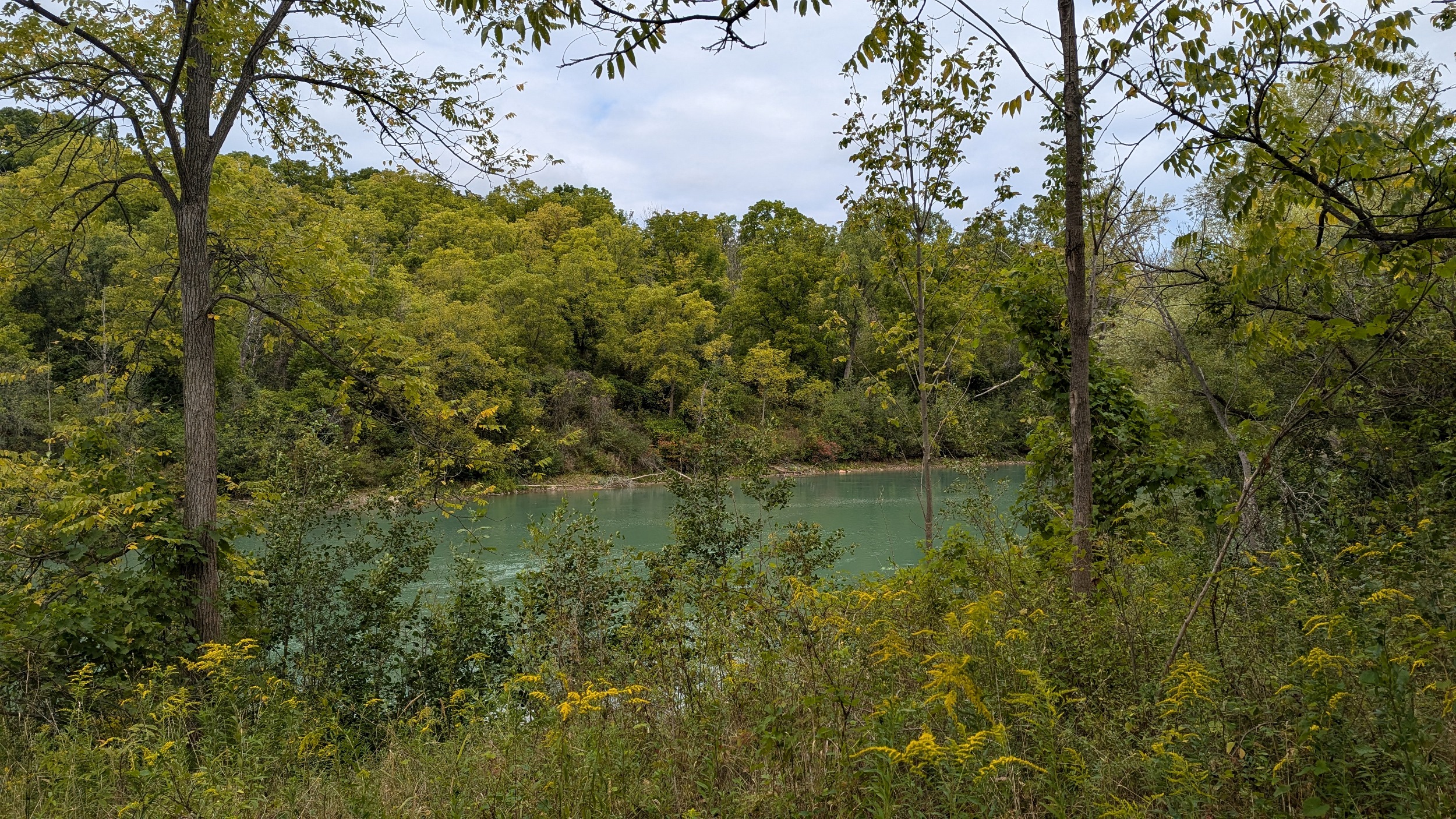
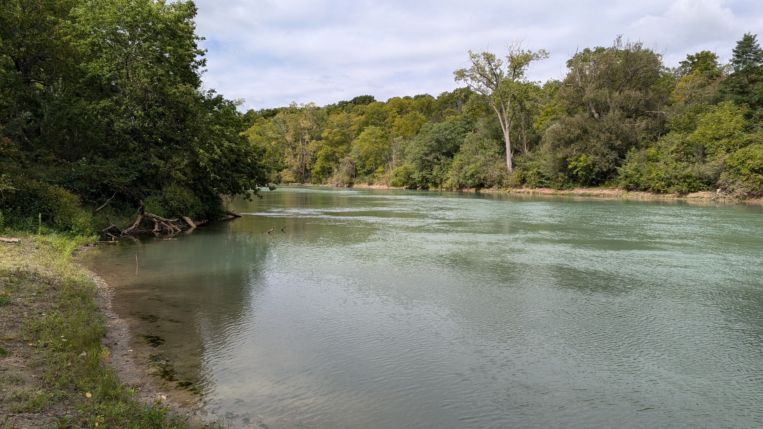
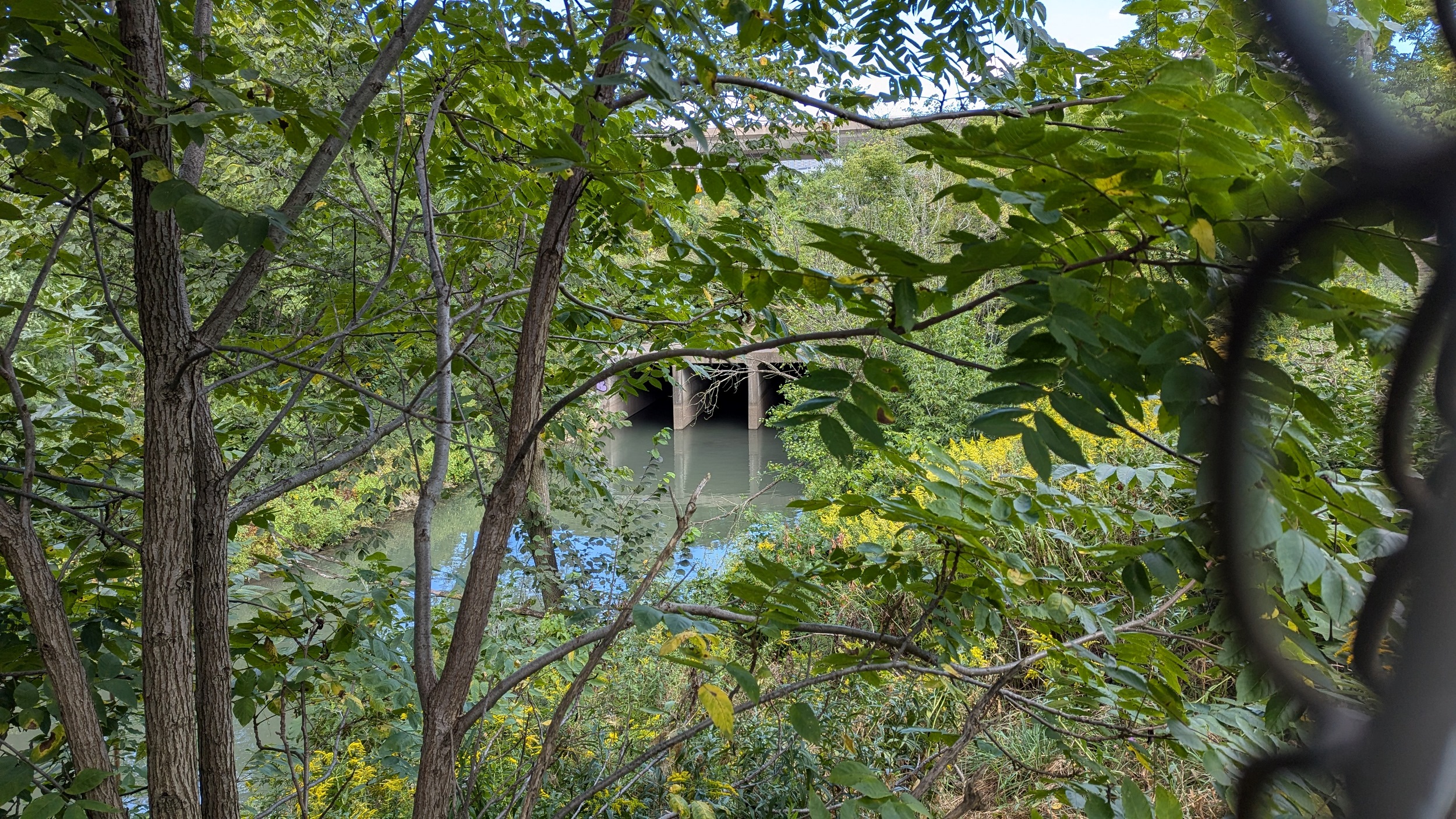
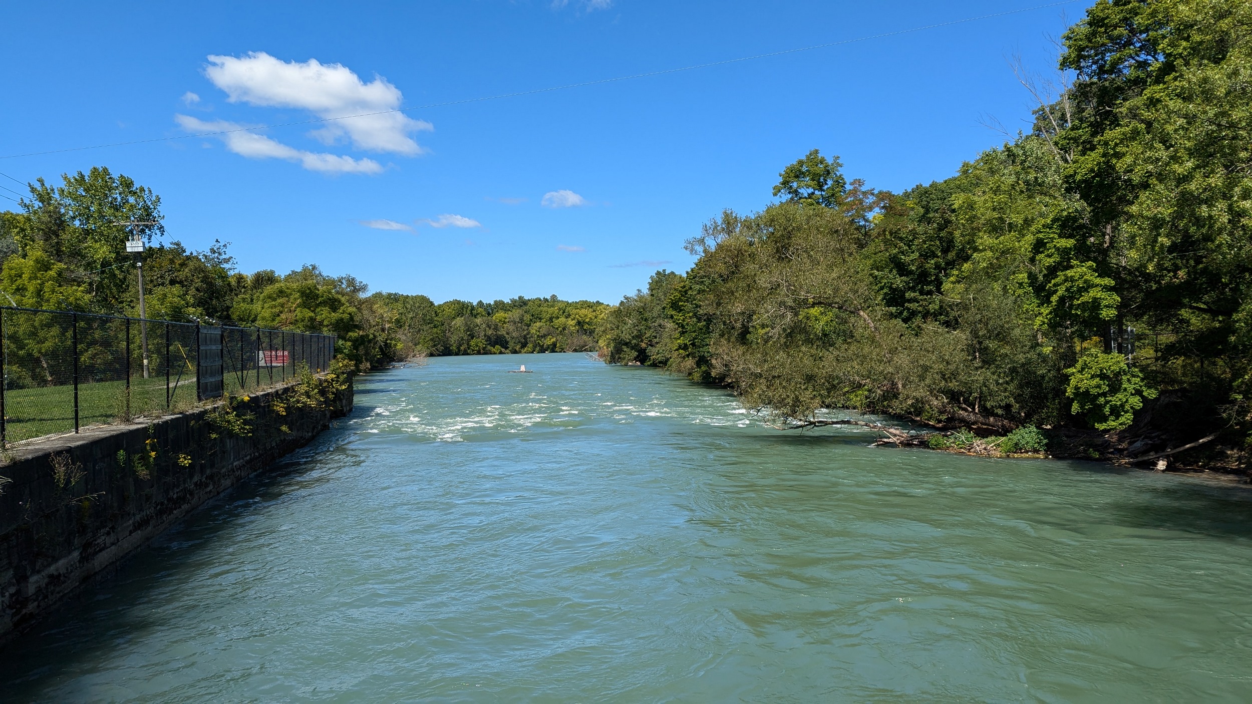
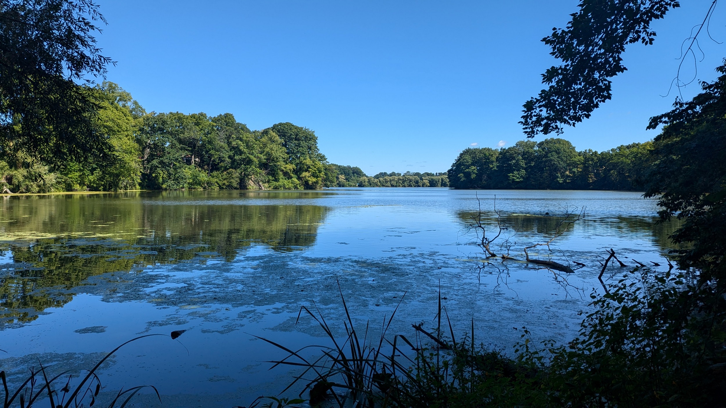
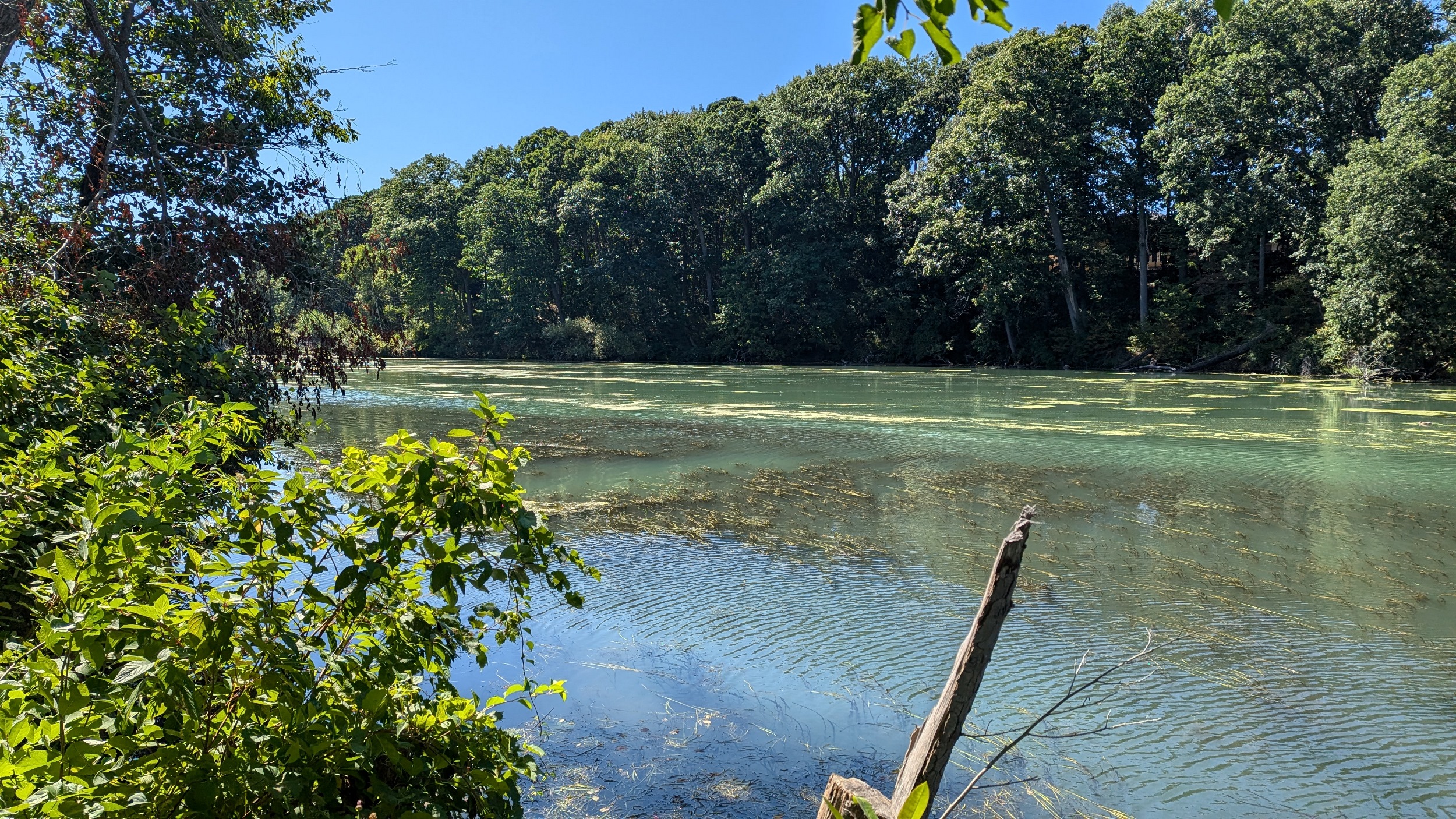
It takes a while before you can get a proper view of the Creek, and OPG’s fencing is no help. But you do switch back over some red Queenstown shale before reaching the banks of the milky green waters.
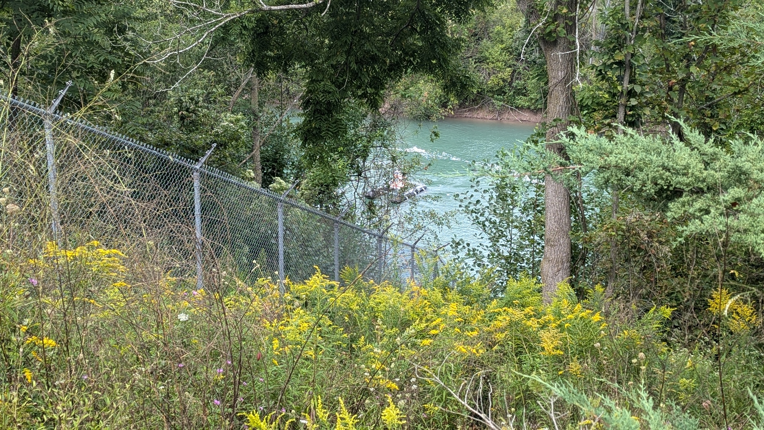
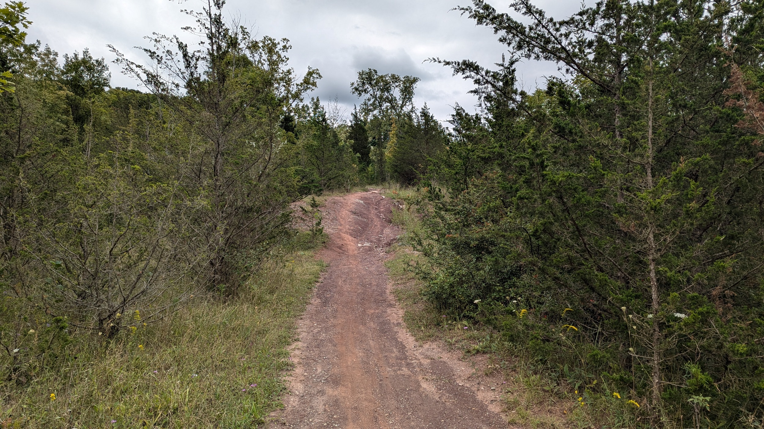
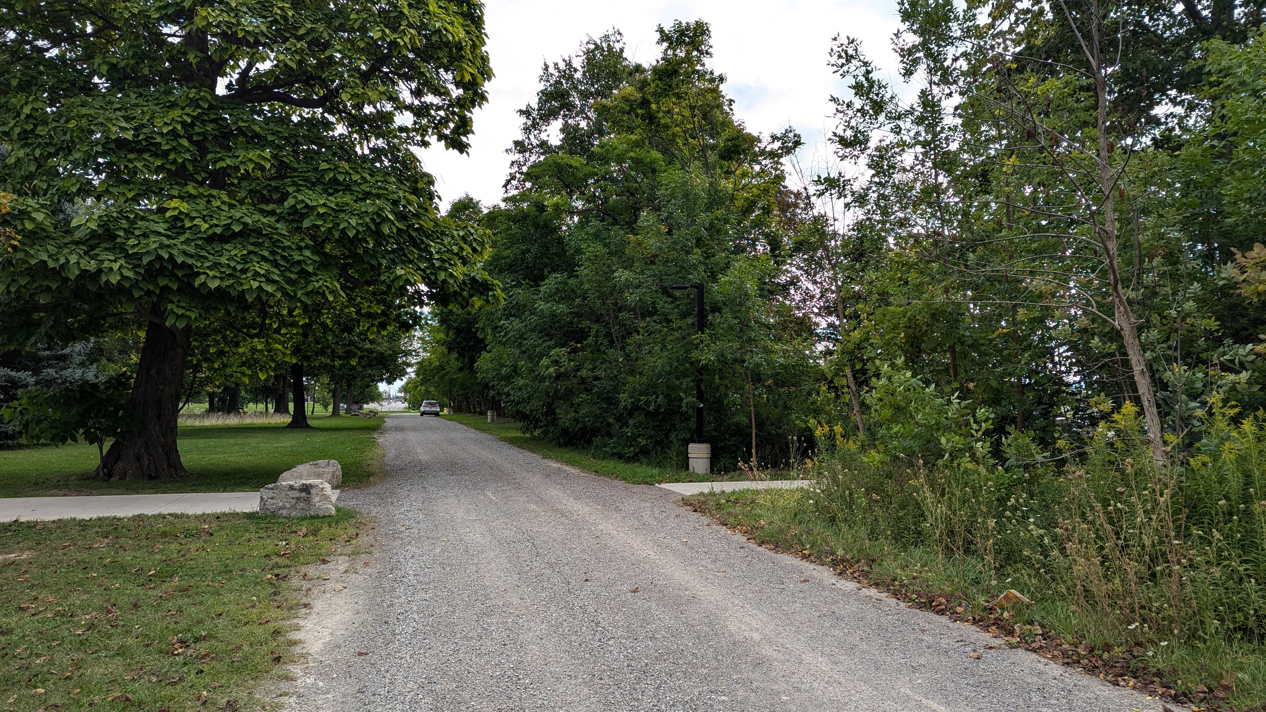
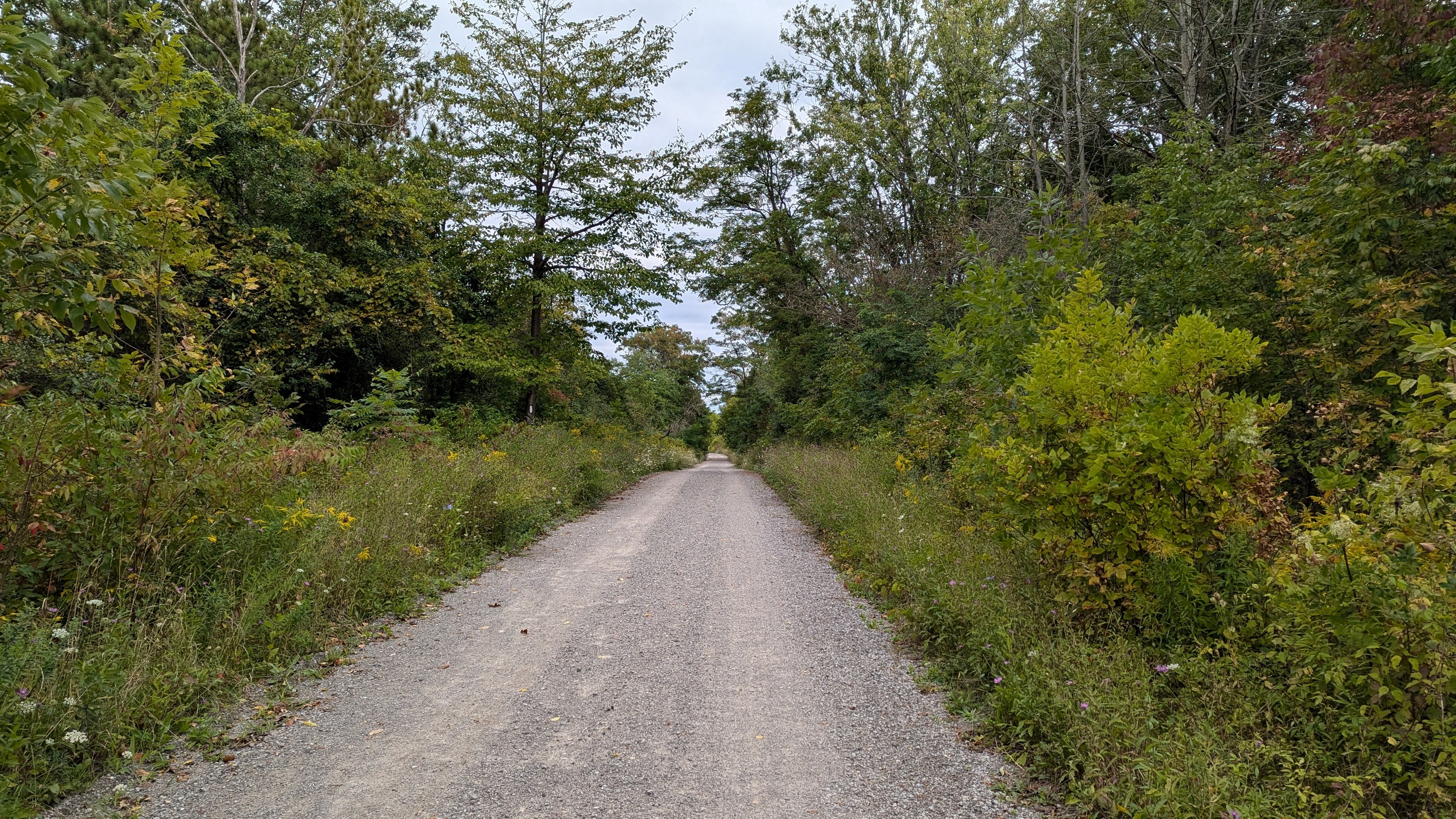
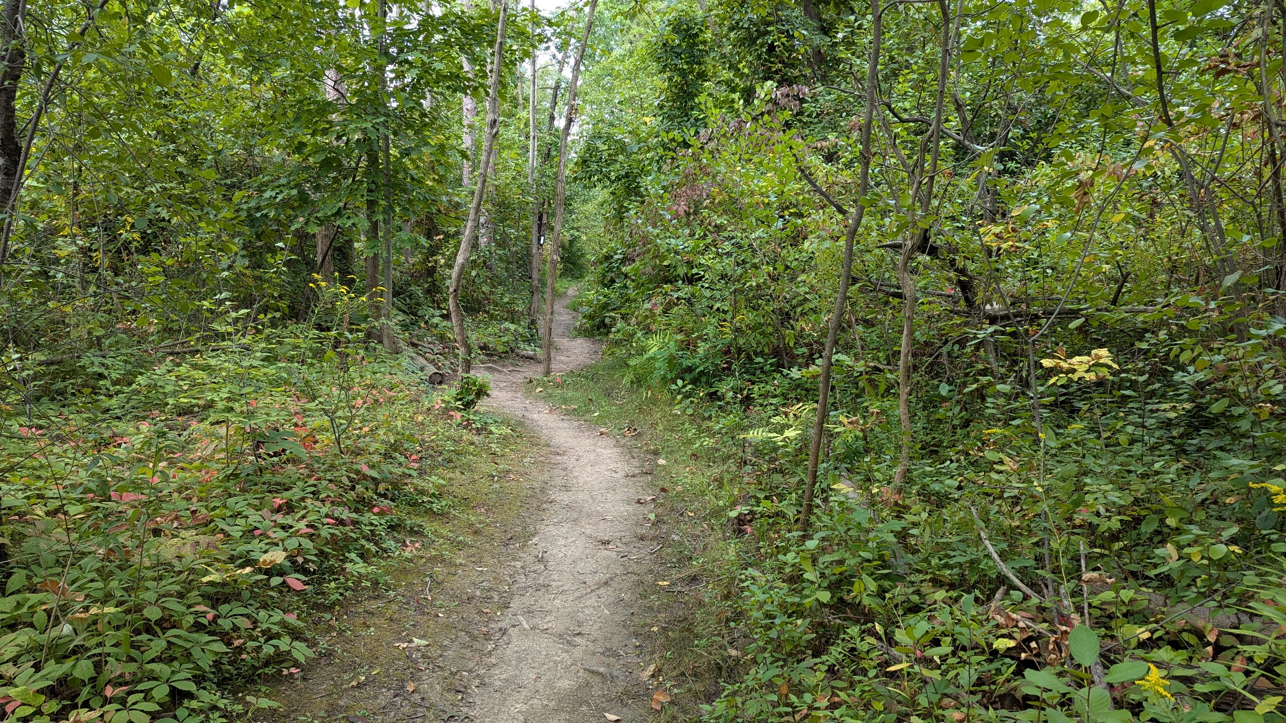
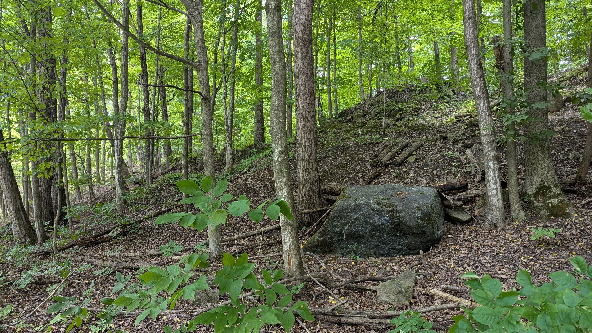
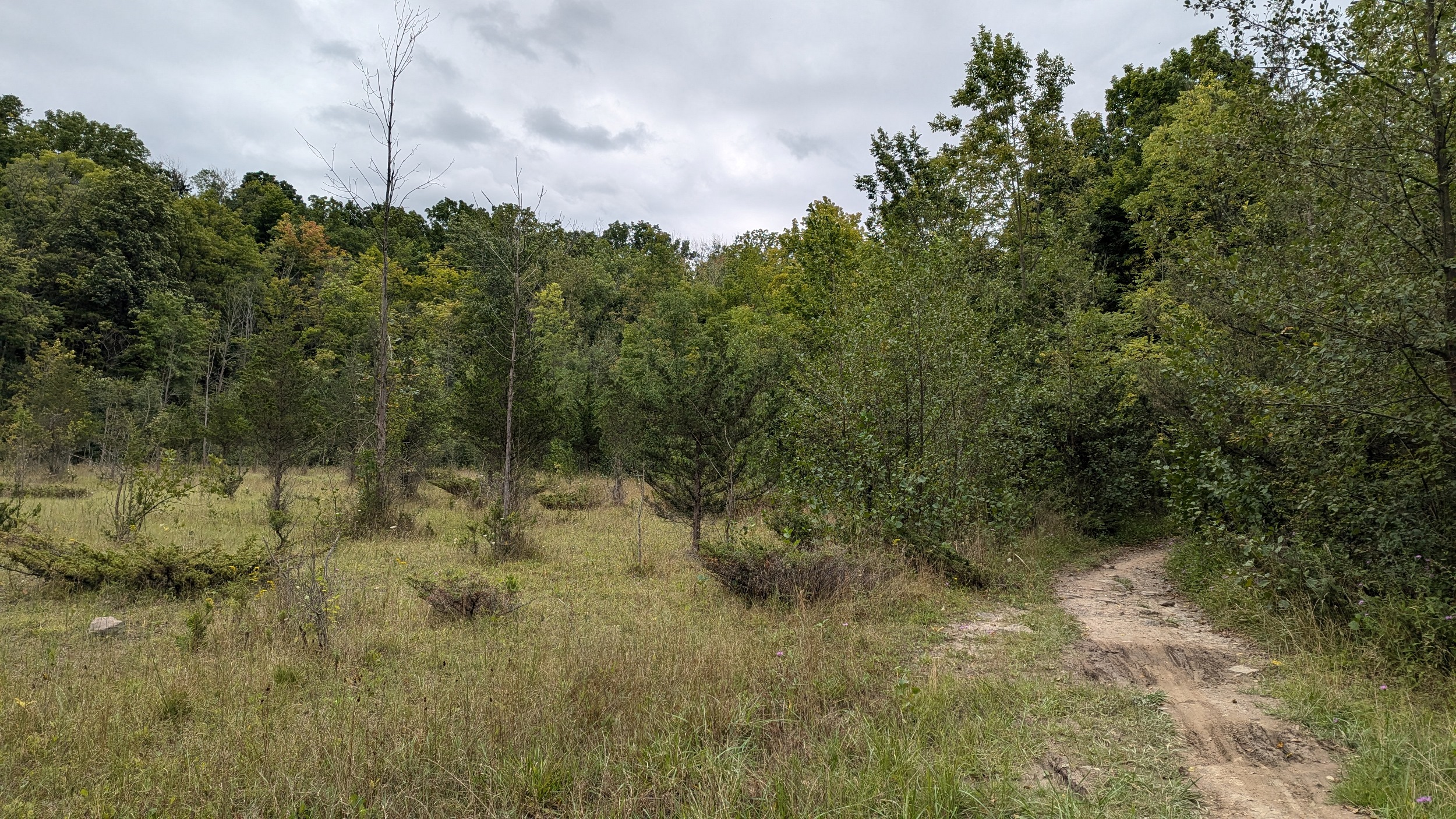
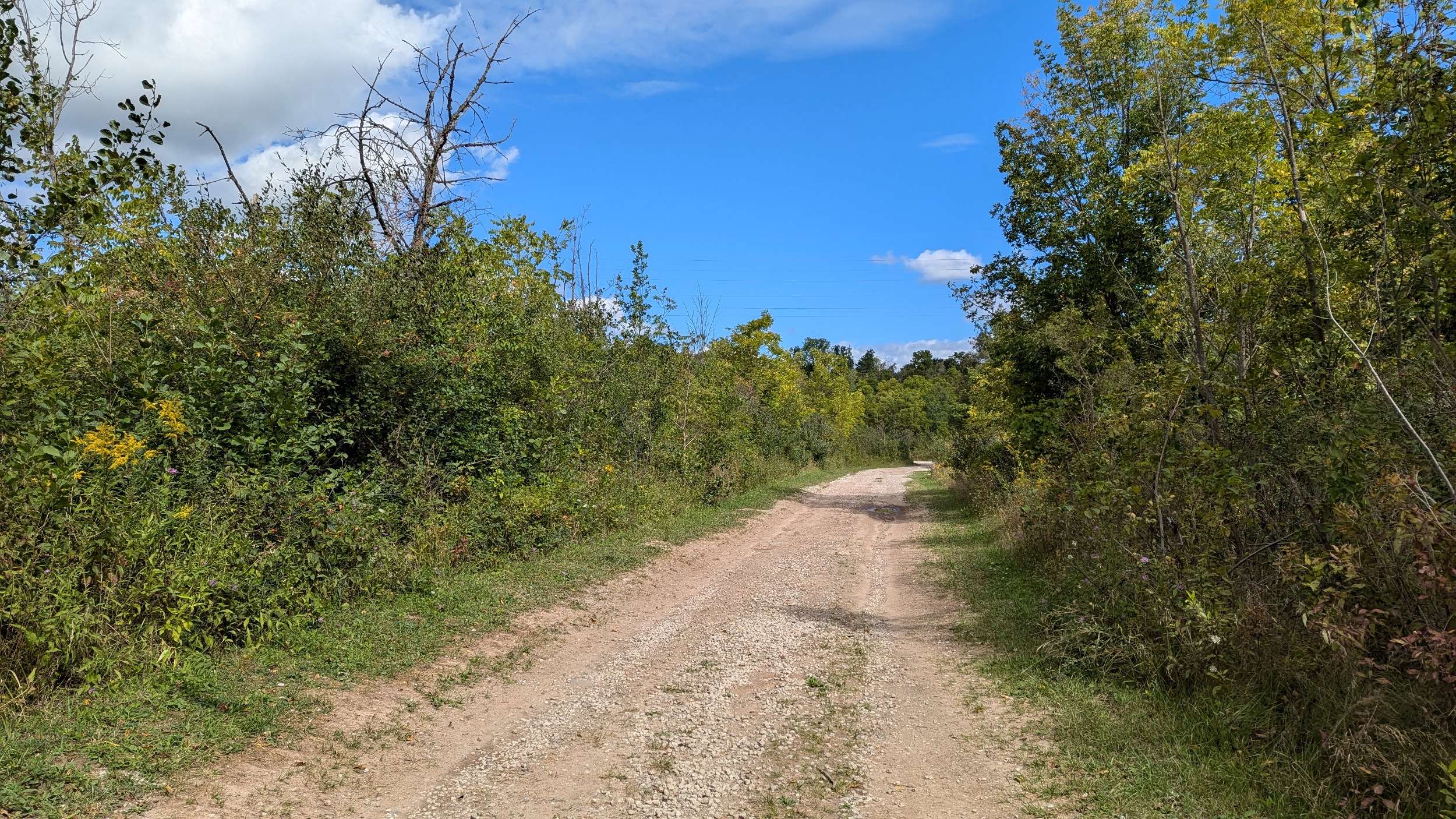
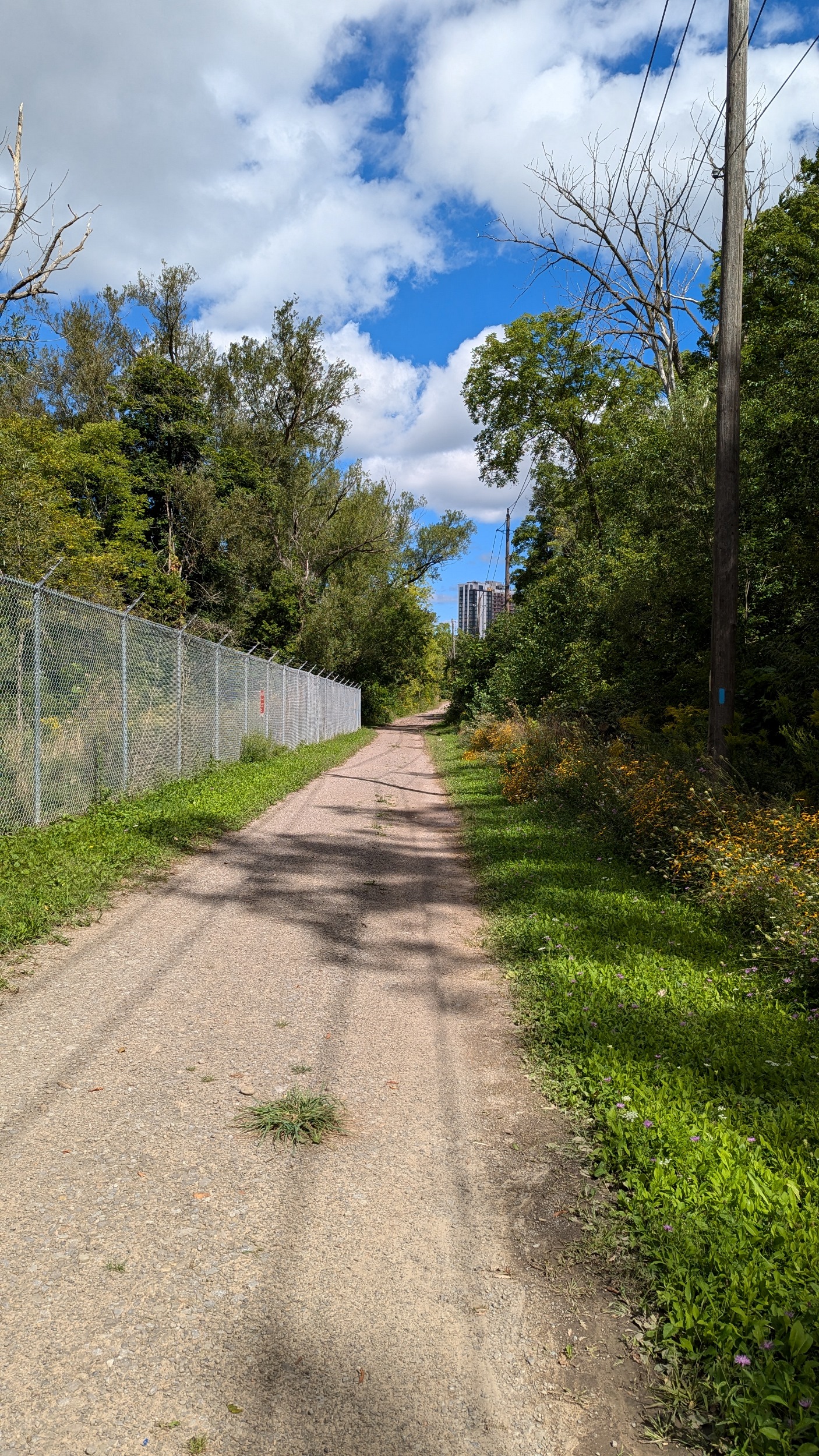
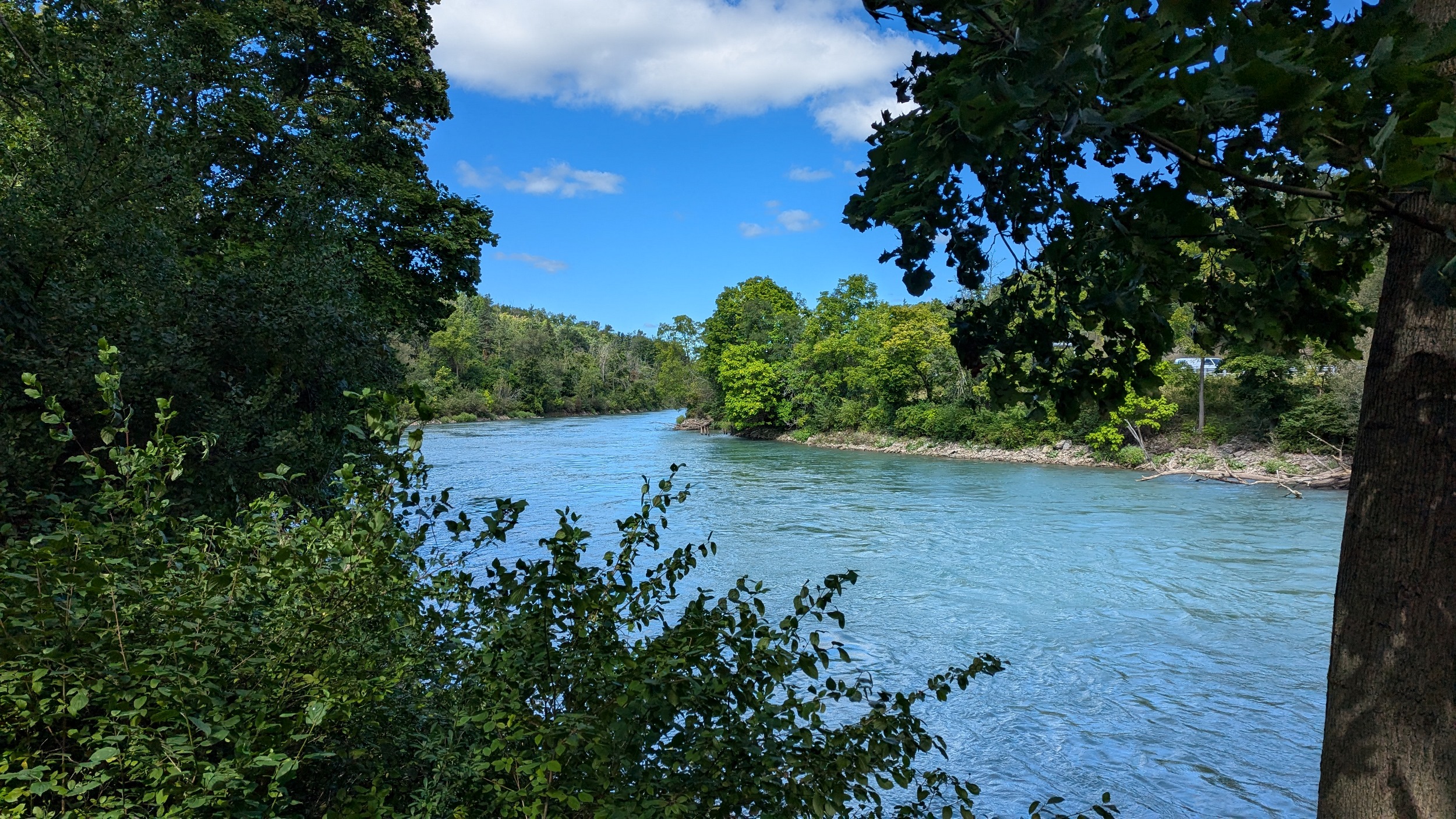
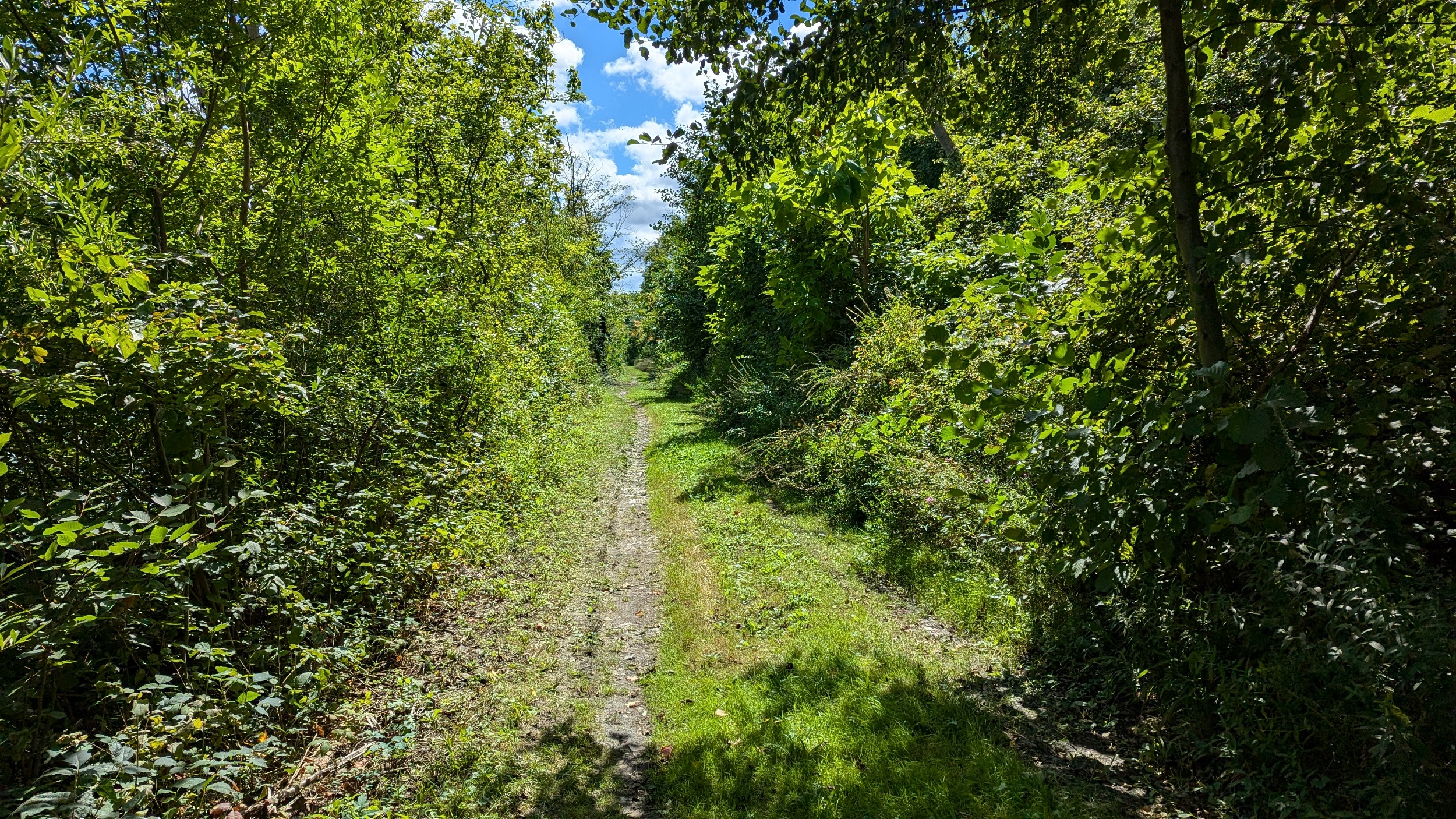
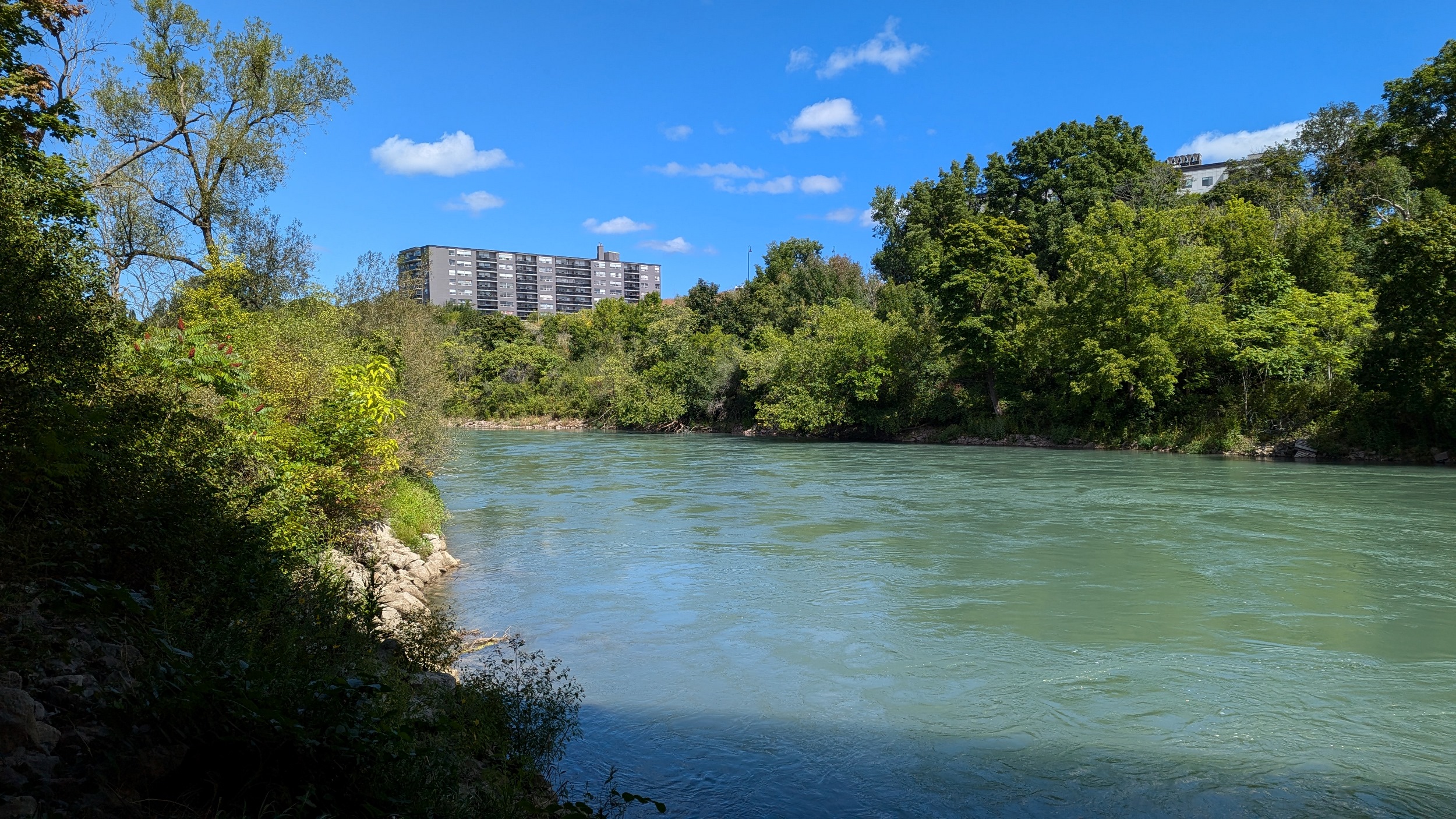
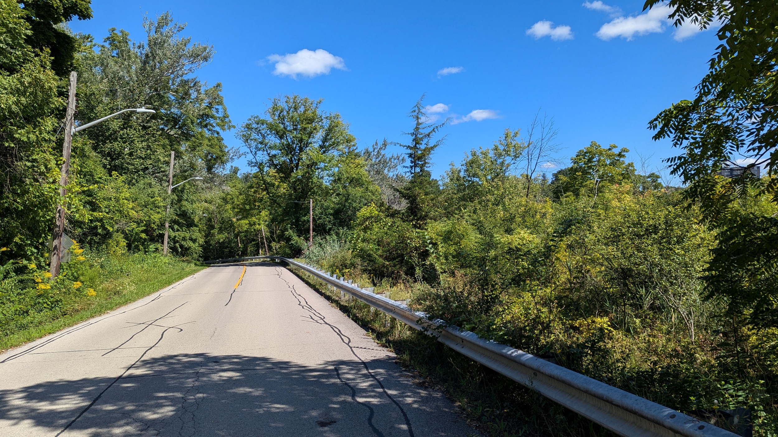
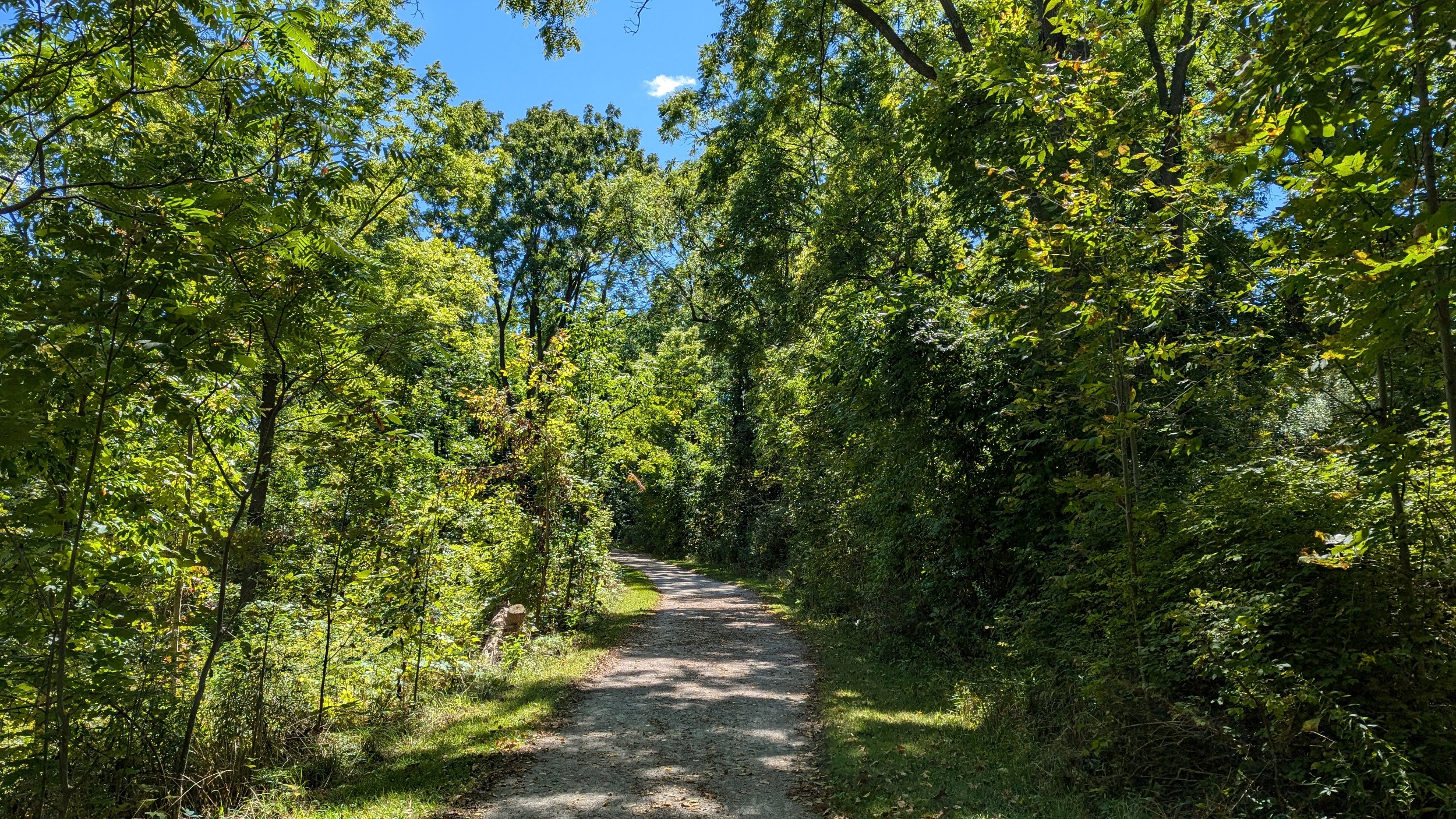
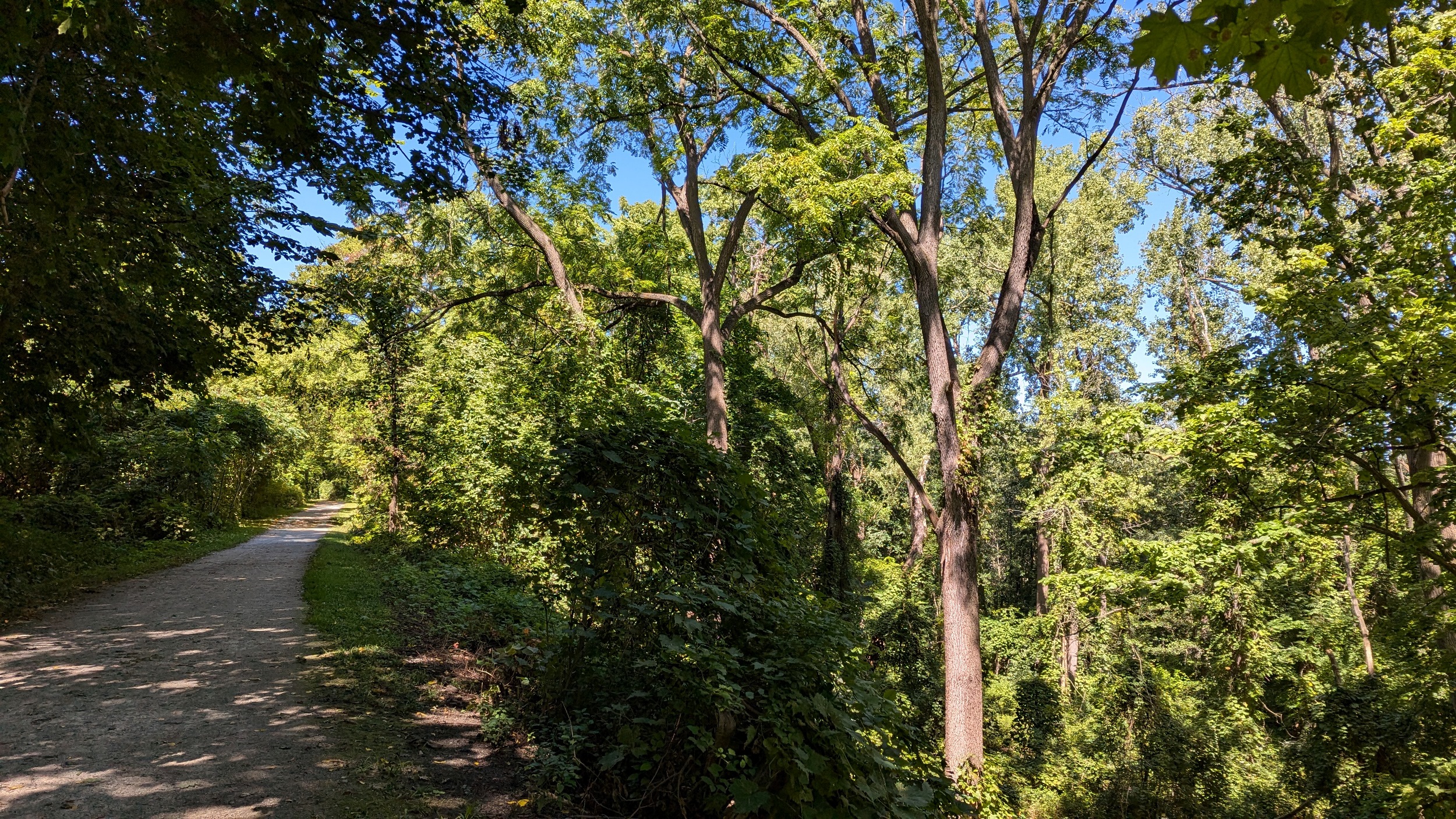
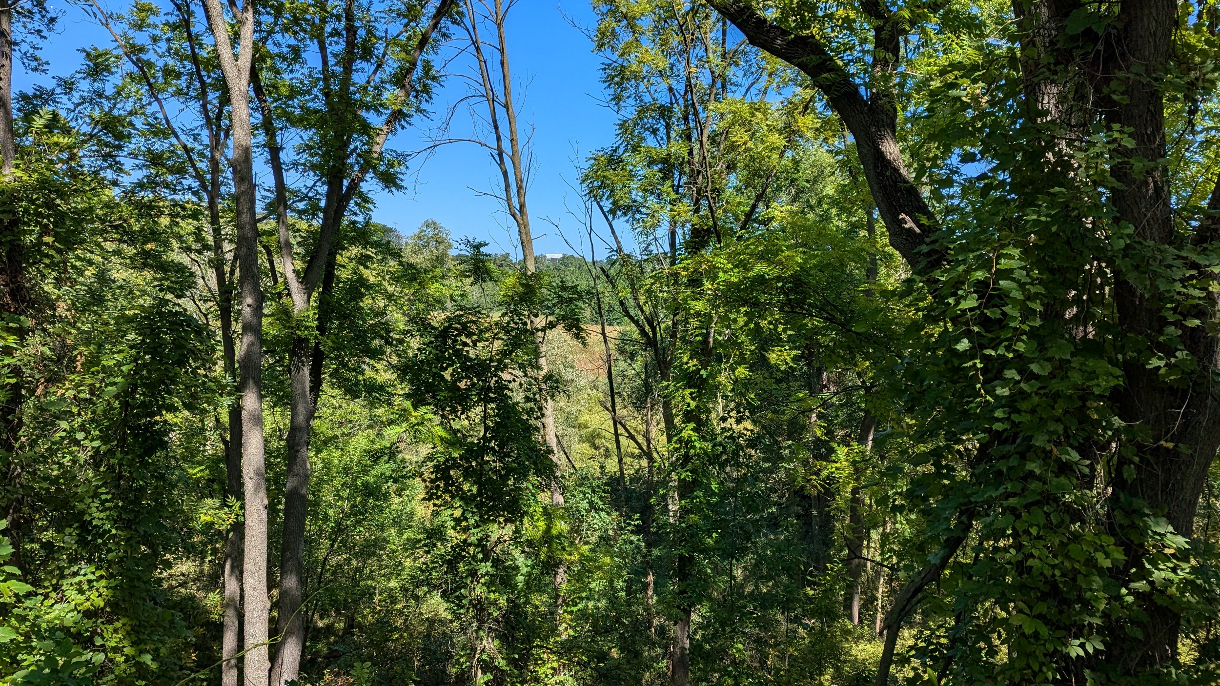
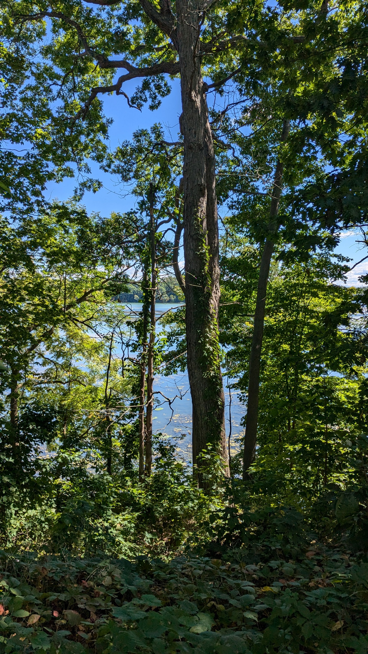
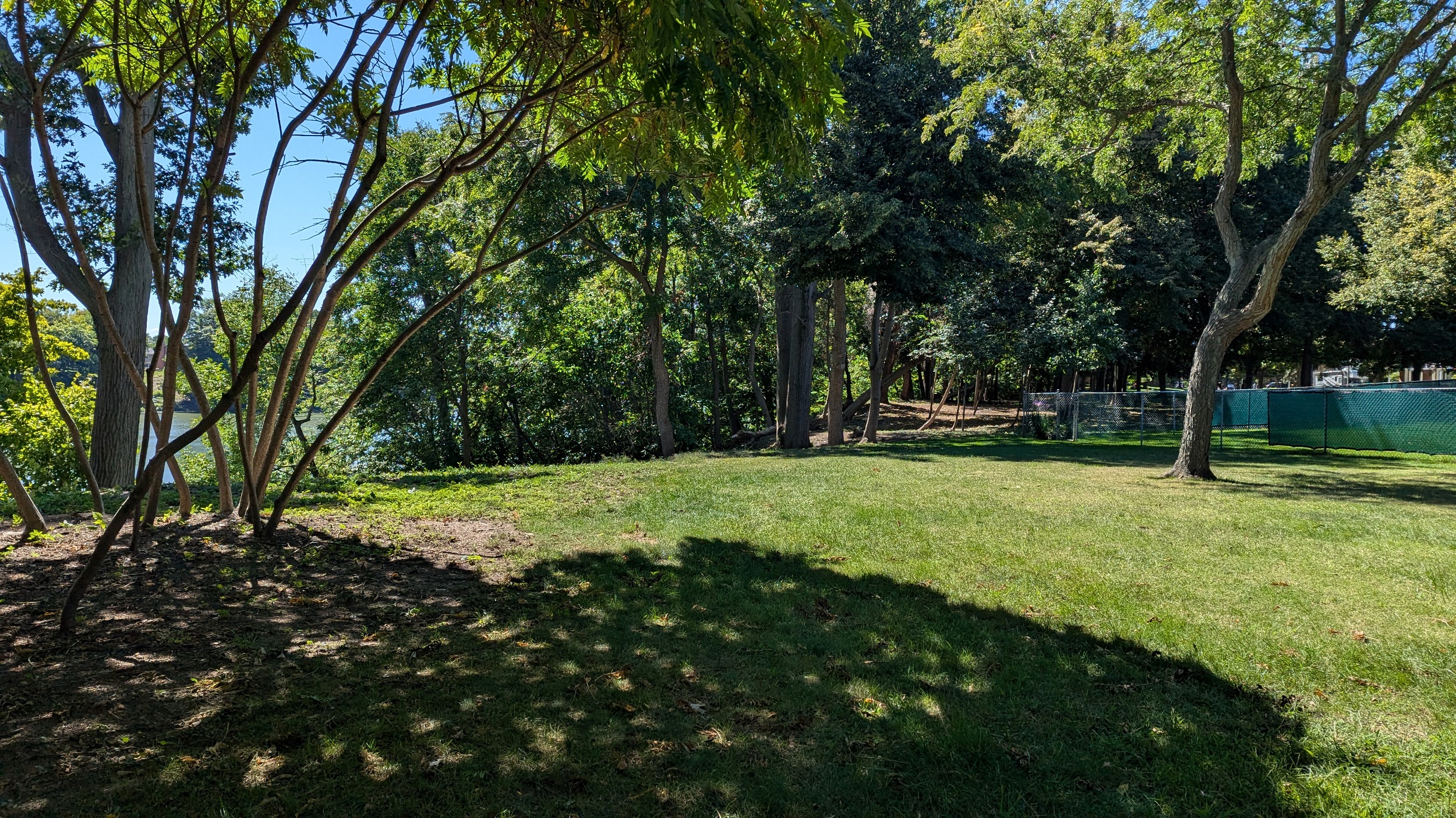
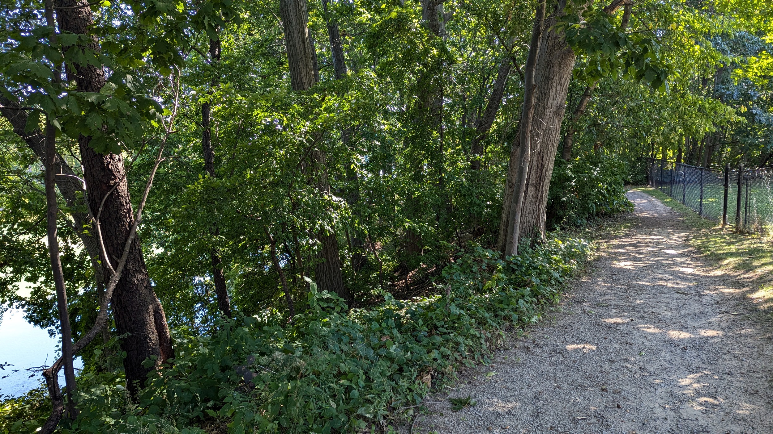
So far, the trail is perched up and away from the water’s edge. And that’s okay, as it’s a great hiking and biking trail set in a quiet mature forest. The creek is complementary rather than primary.
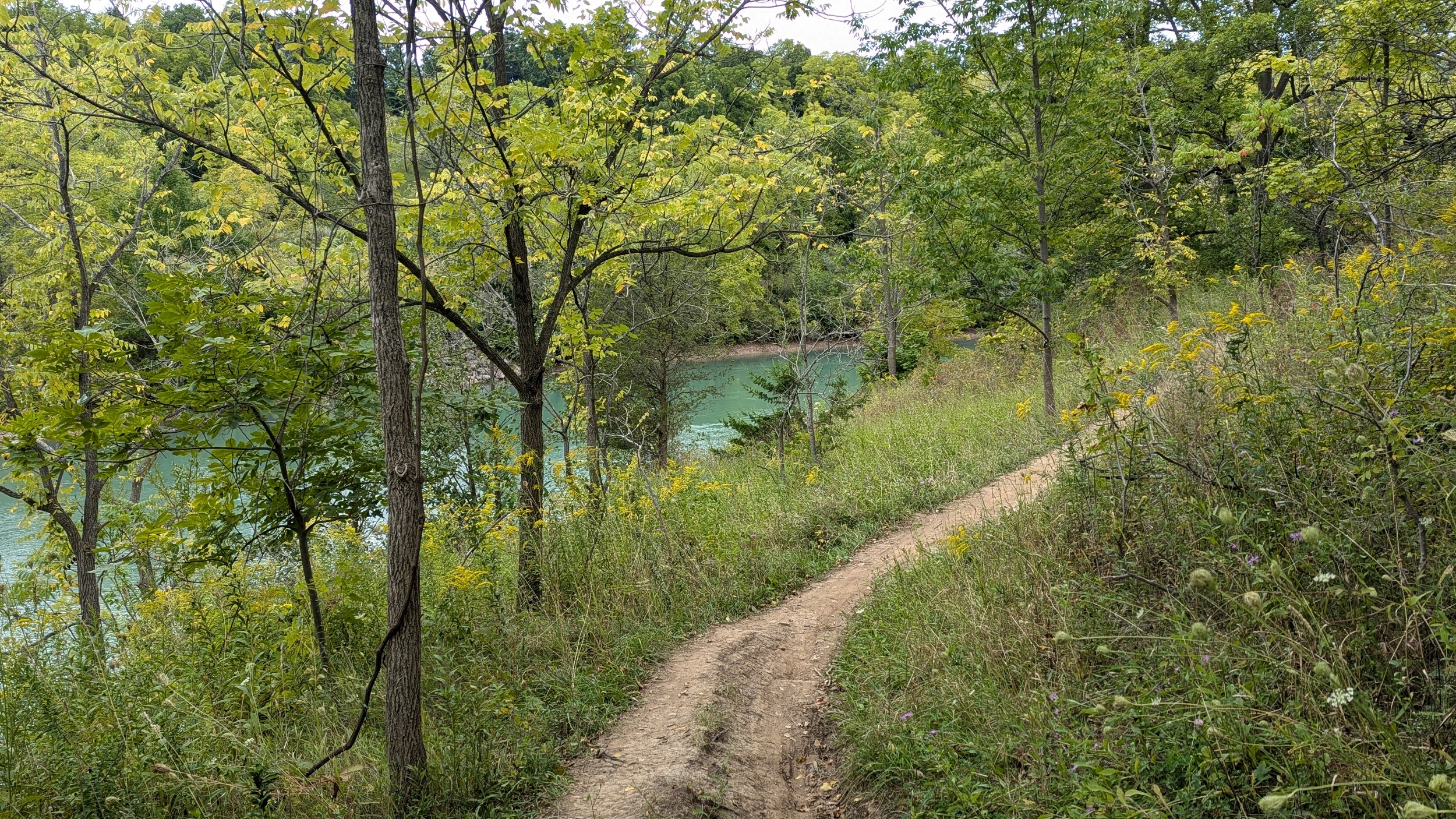
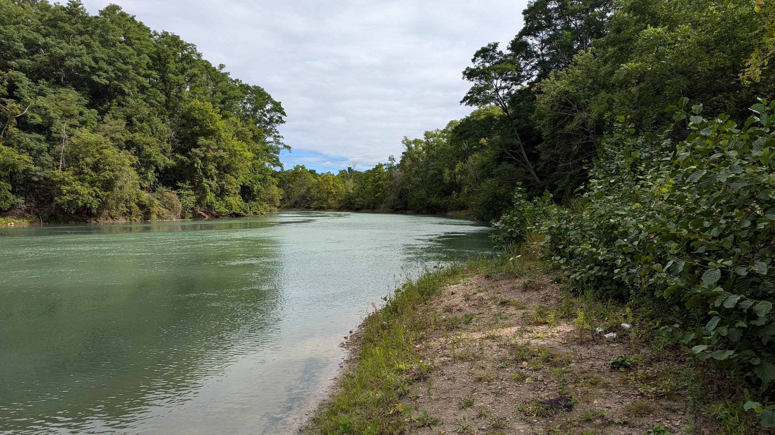
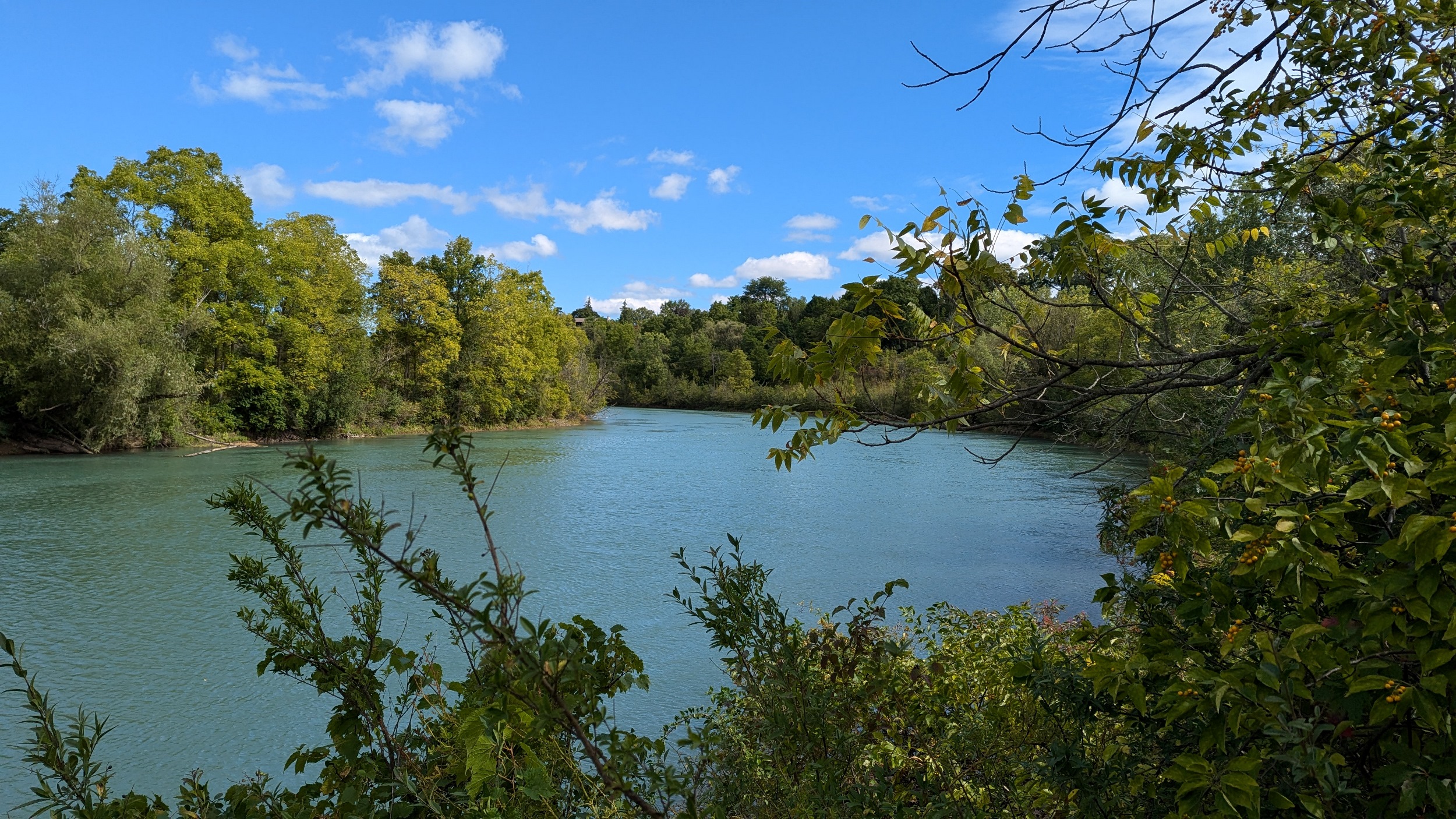
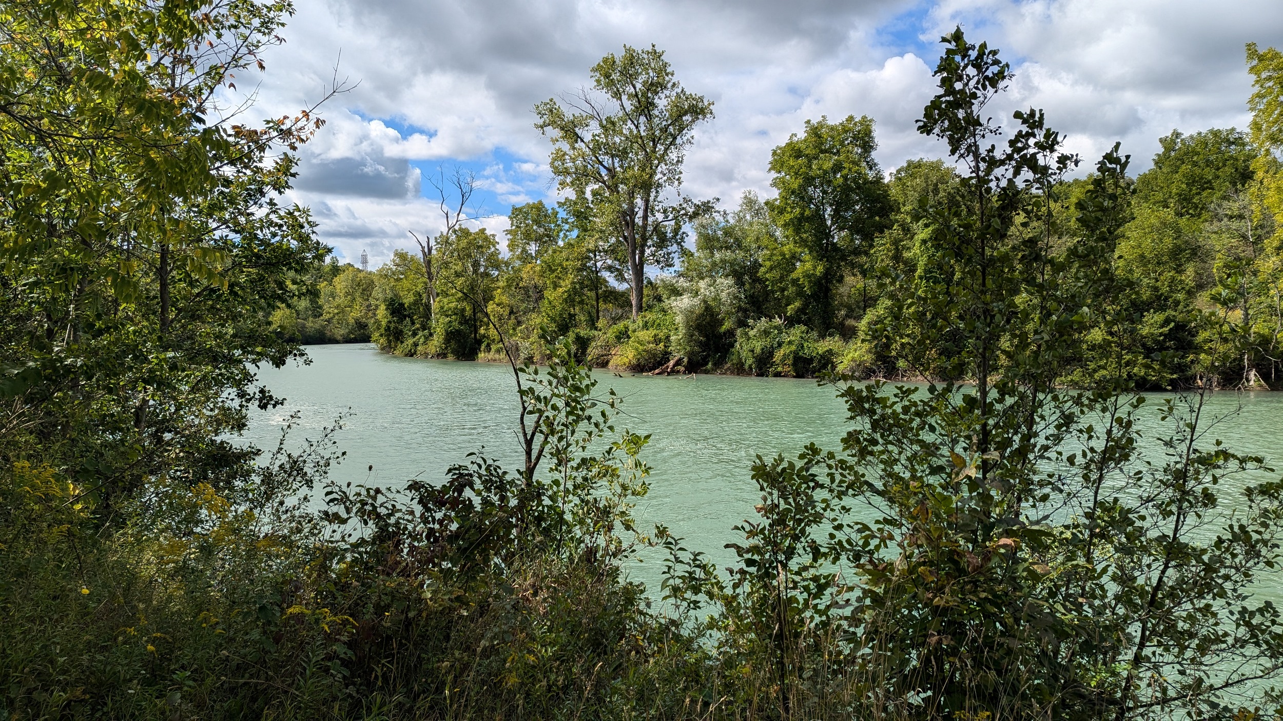
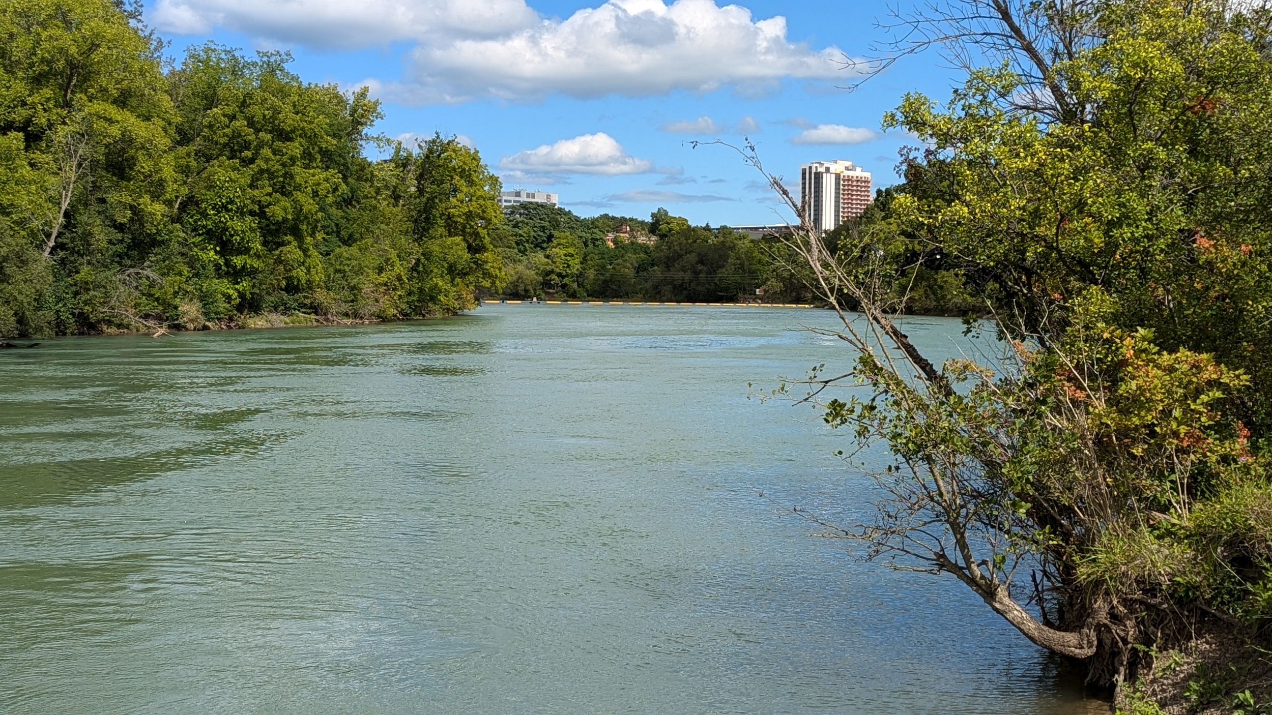
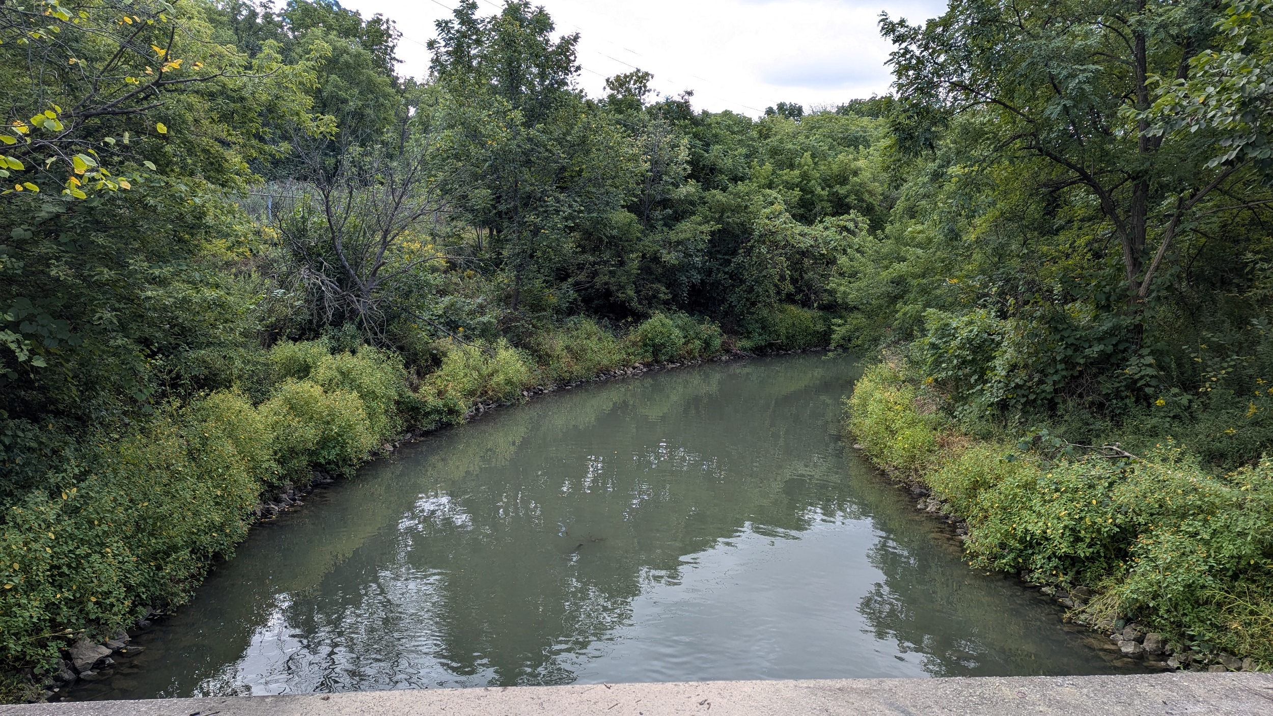
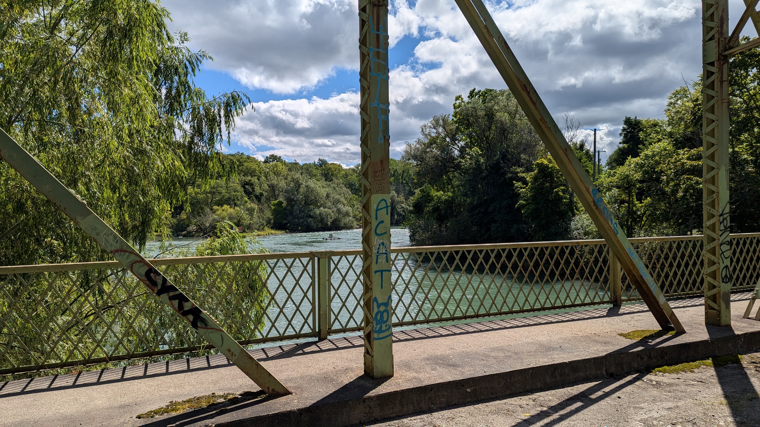
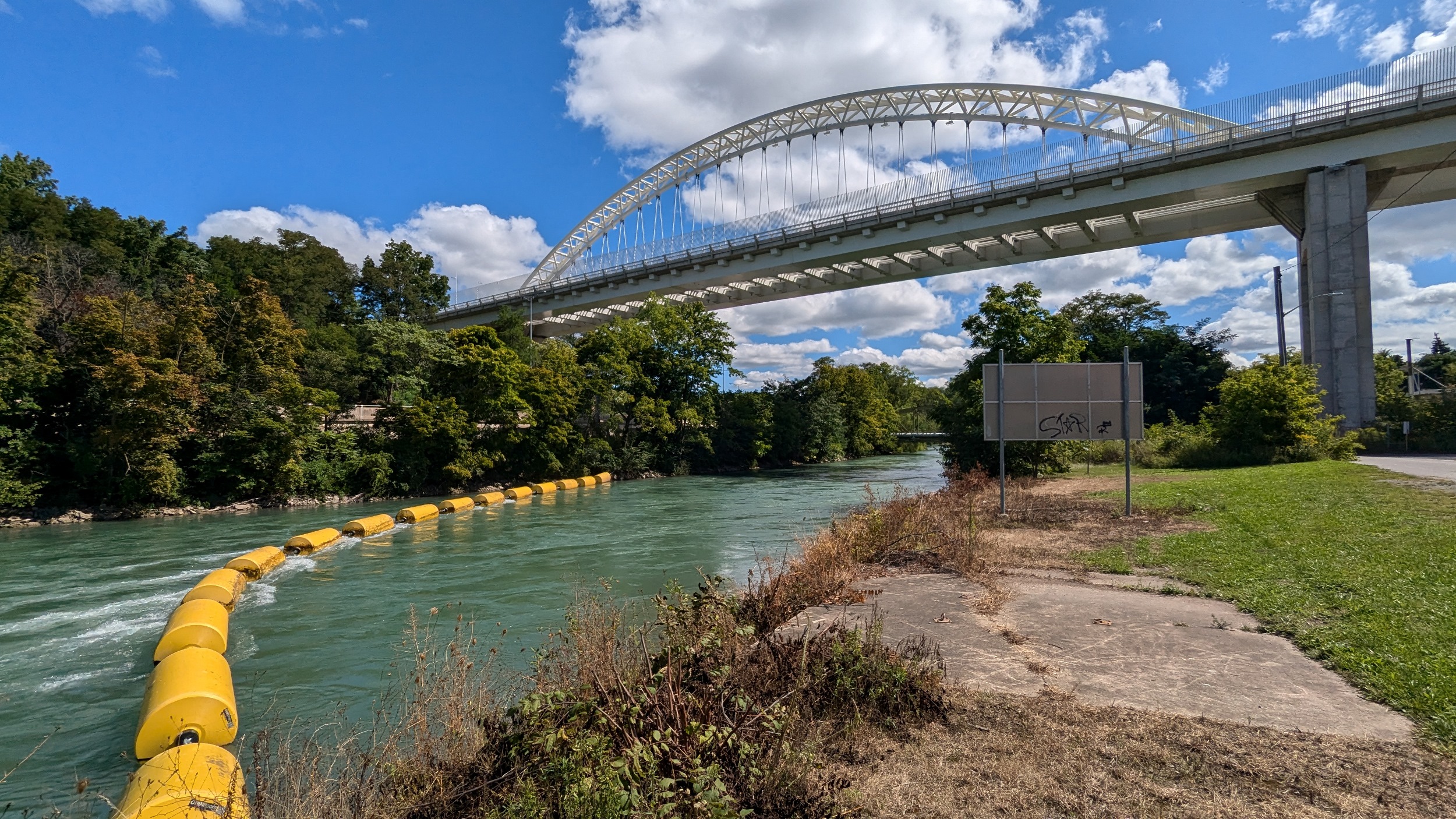
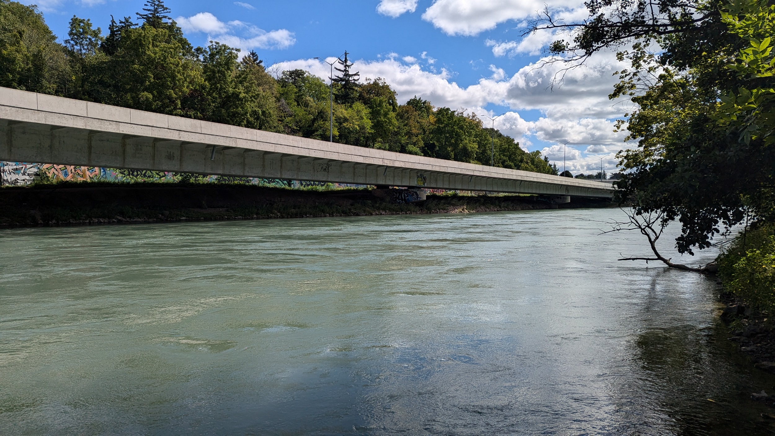
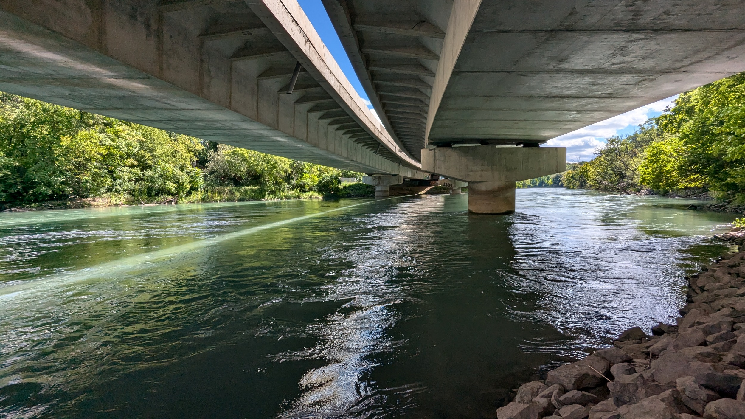
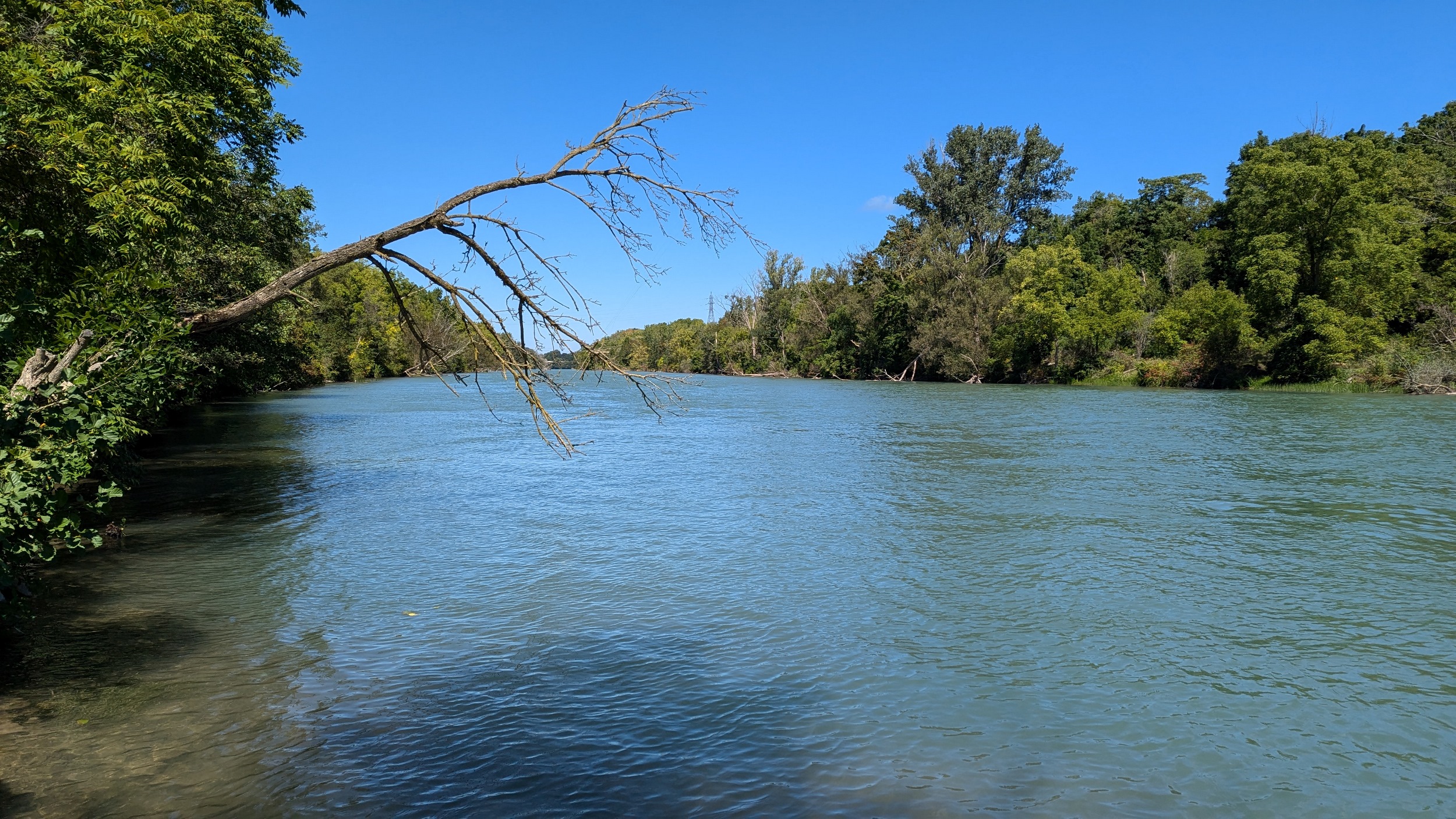
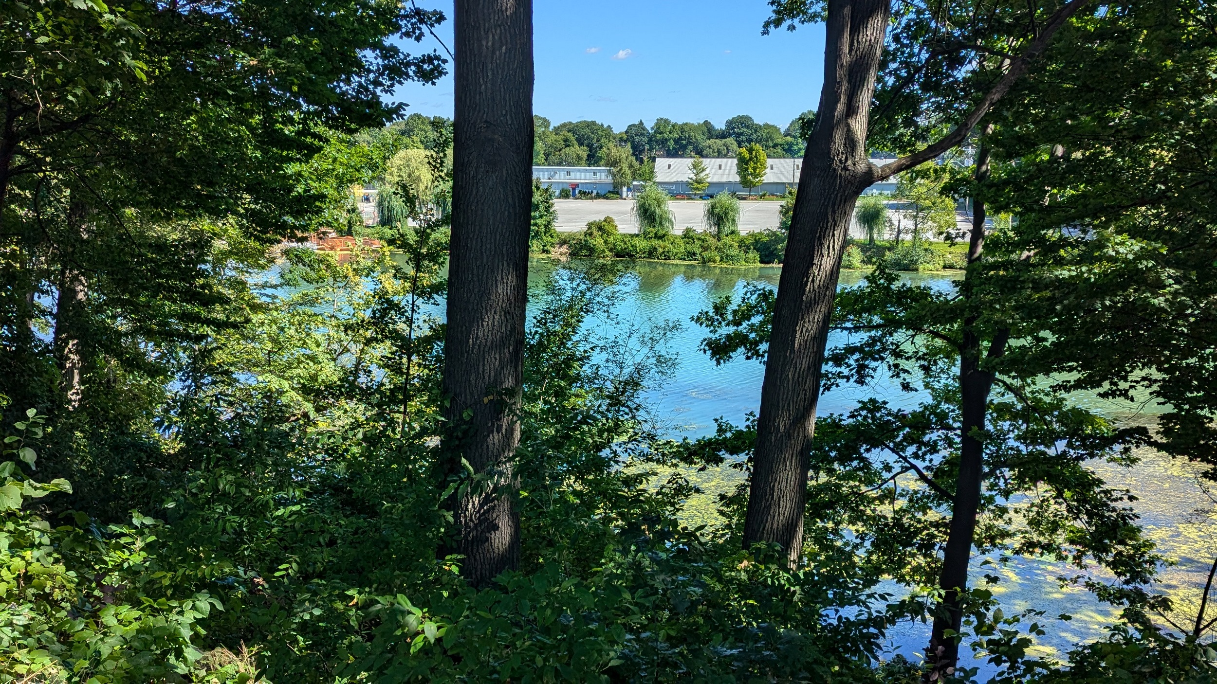
A couple shots of the creek with some sunlight. The first signs of the city since DeCew are these bridges at Glendale. The pedestrian bridge is a good interchange point between the west and east side trails. I’m sticking to the east bank, which is less of a formal trail and more of a vehicular access. No complaints, the clouds are moving on and there’s more views of the creek.
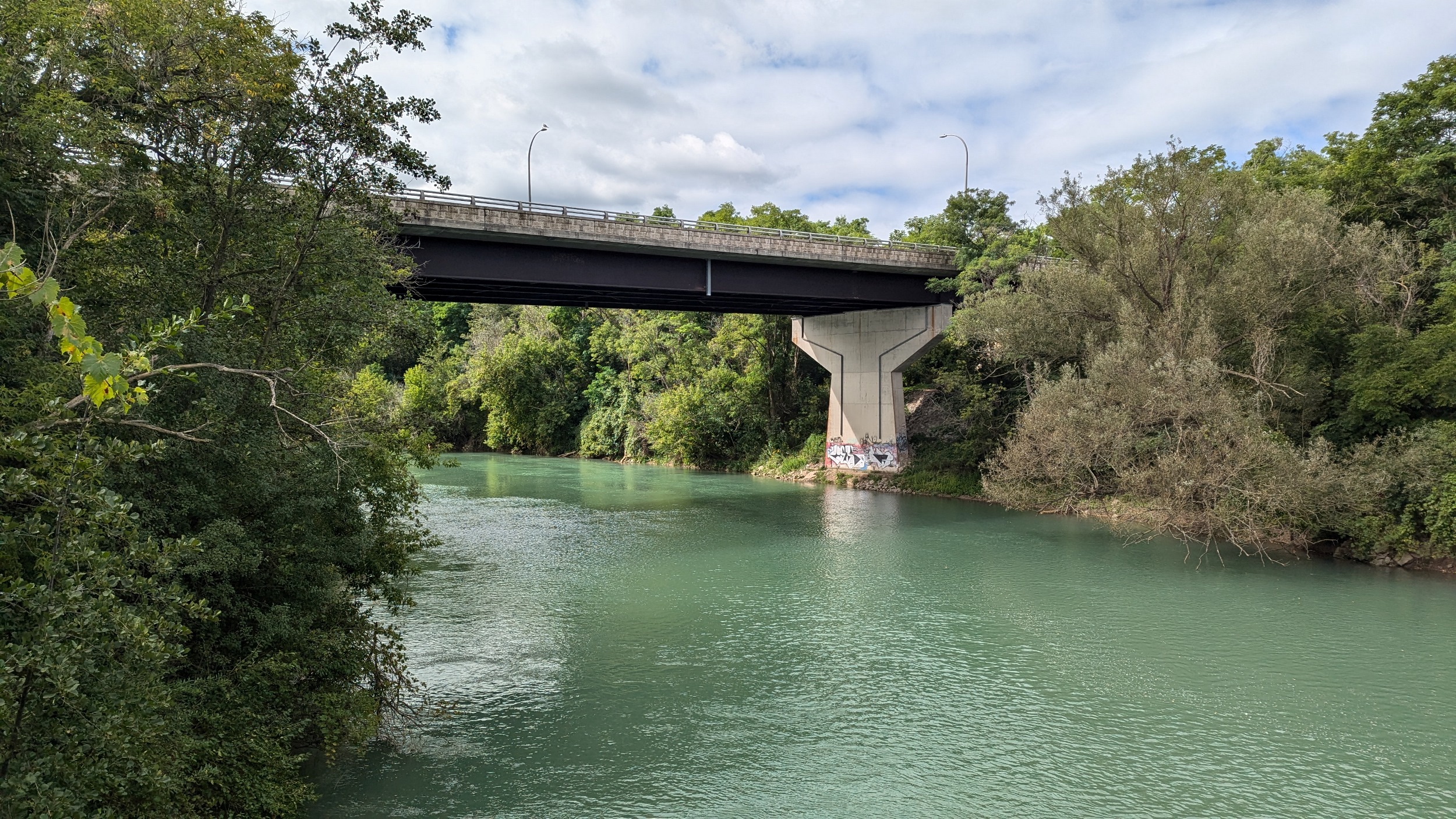
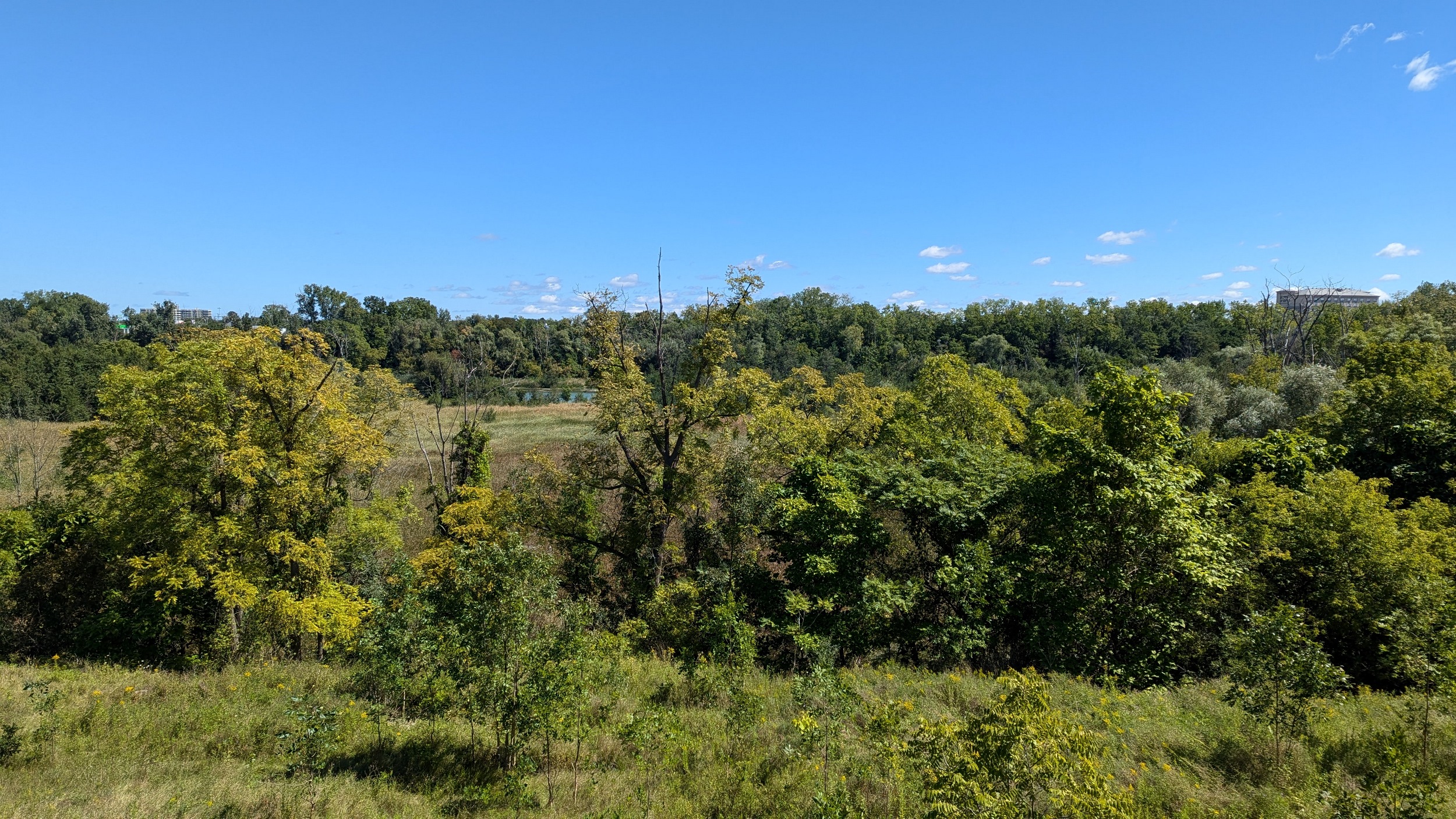
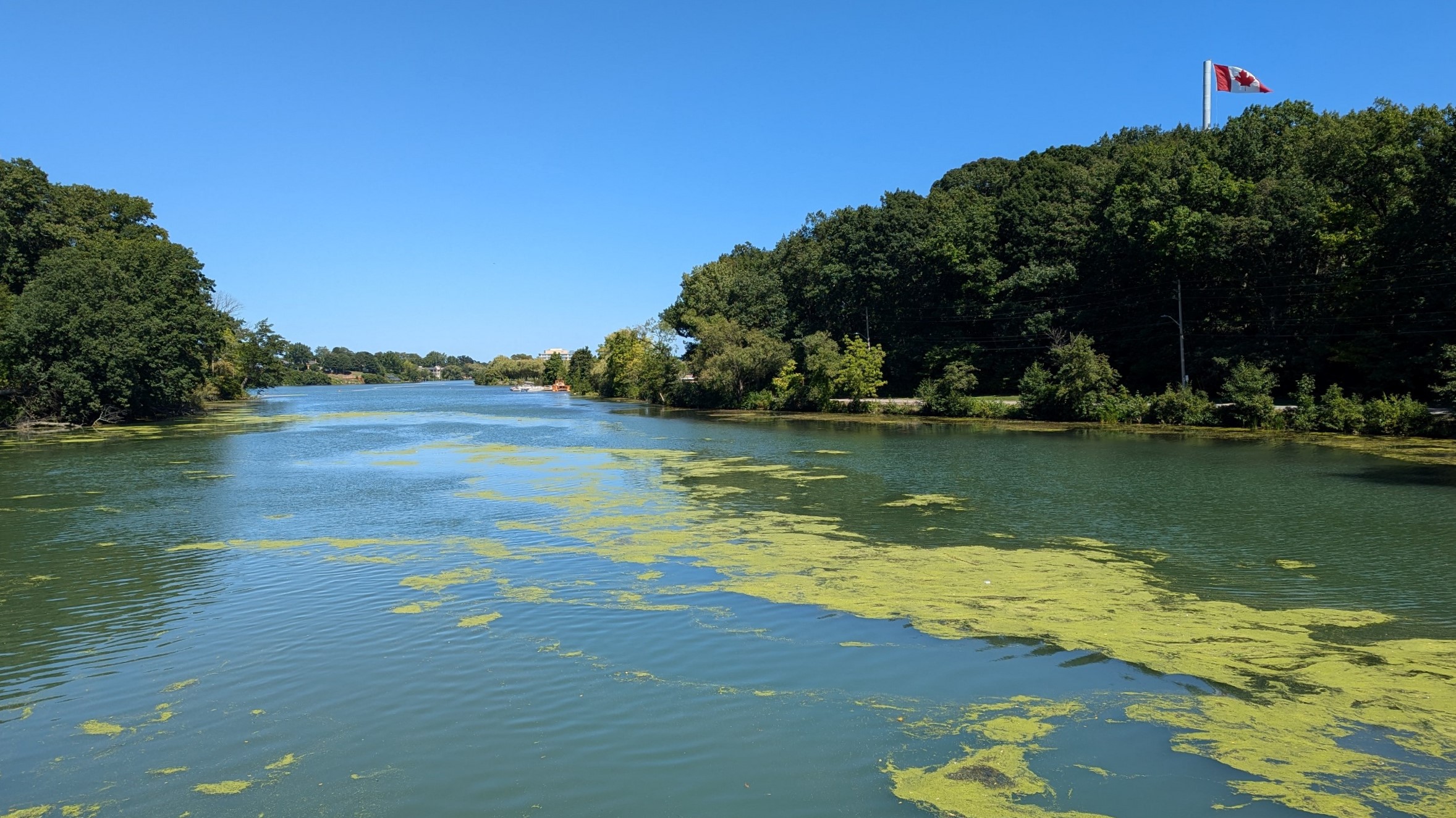
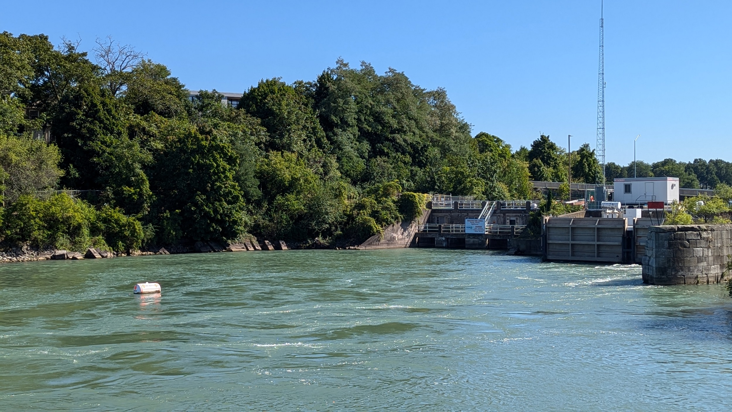
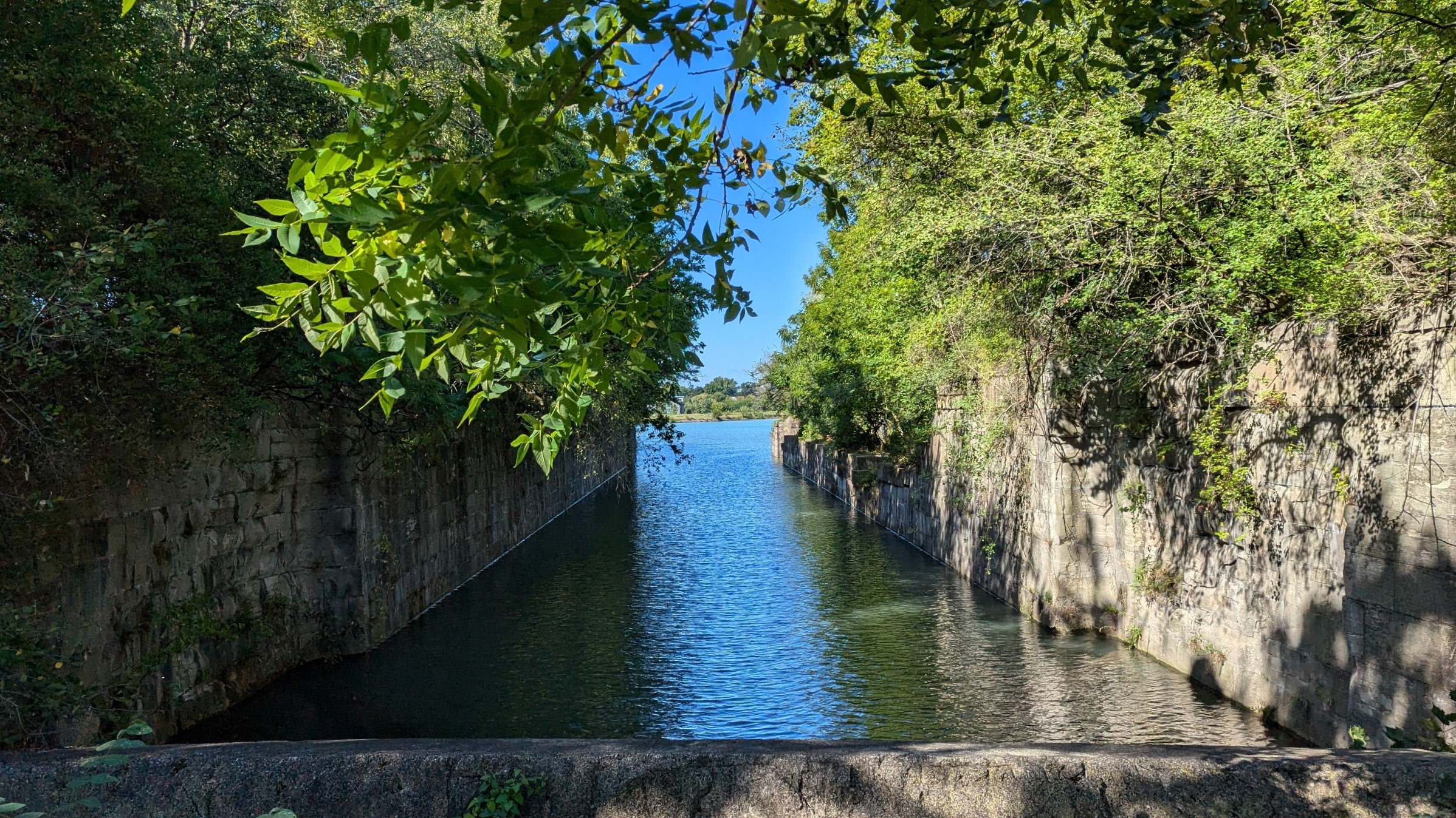
Downtown St Catharines is now in sight. The creek gets a little crazy, it seems to flow over a weir-like structure, and then it meets an outfall that I believe is along an old Welland Canal. It then makes a bend west to go under St Paul Street and along the 406.
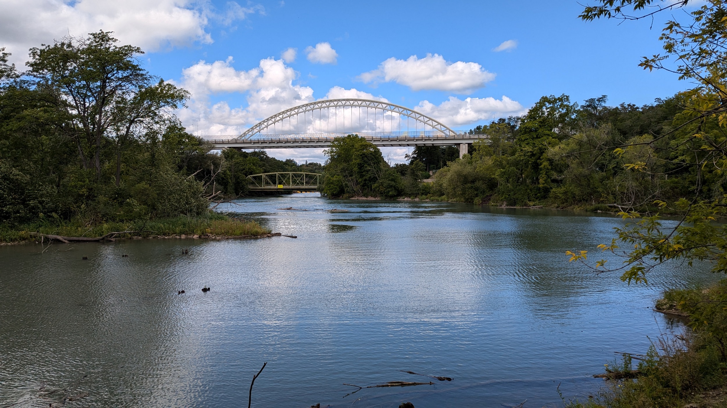
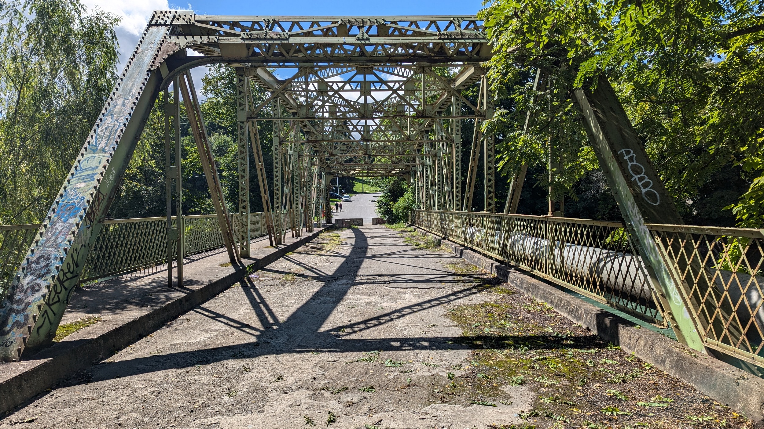
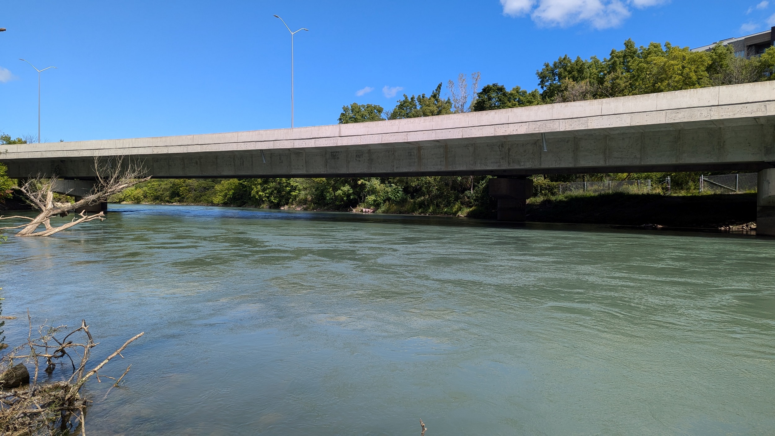
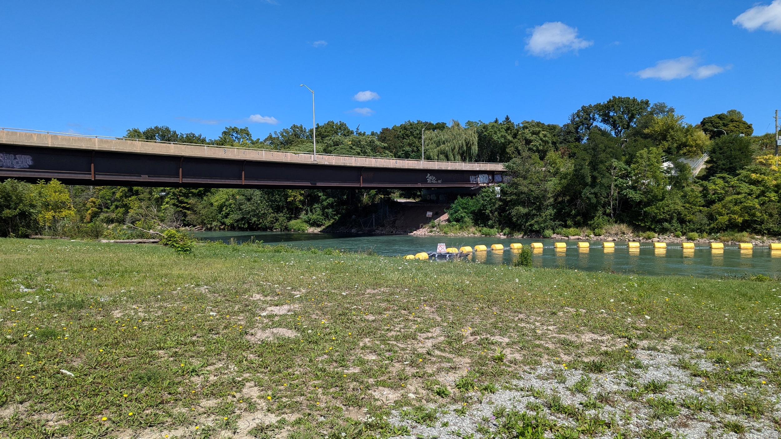
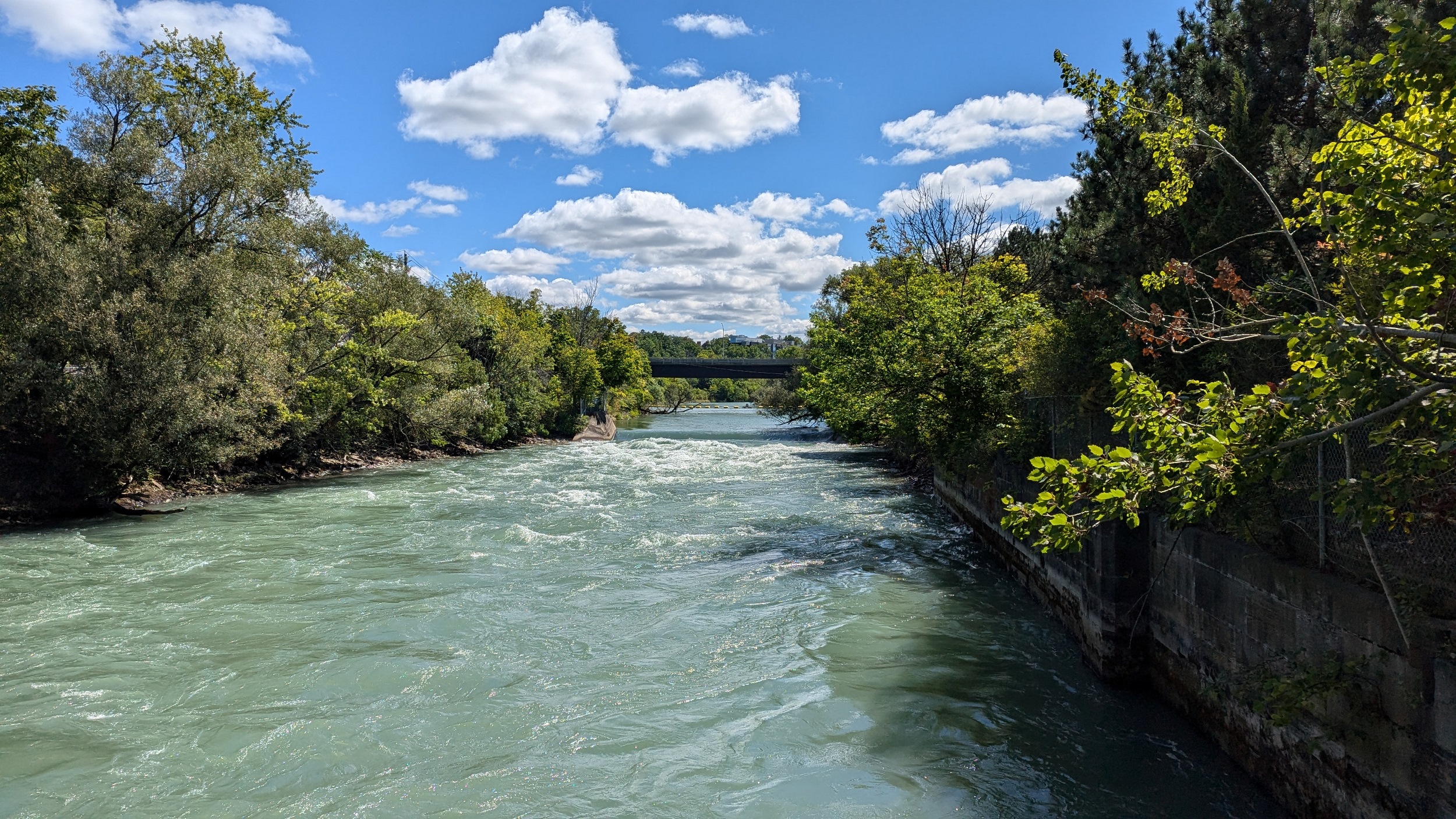
Across an old bridge and under a new one. The St Paul Street bridge was replaced a while ago to continue carrying people over the creek and Highway 406, and it looks fantastic. The creek gets choppy over another weir.
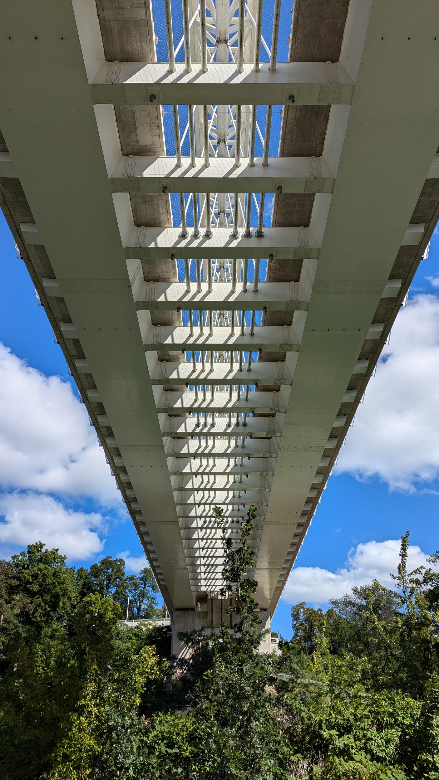
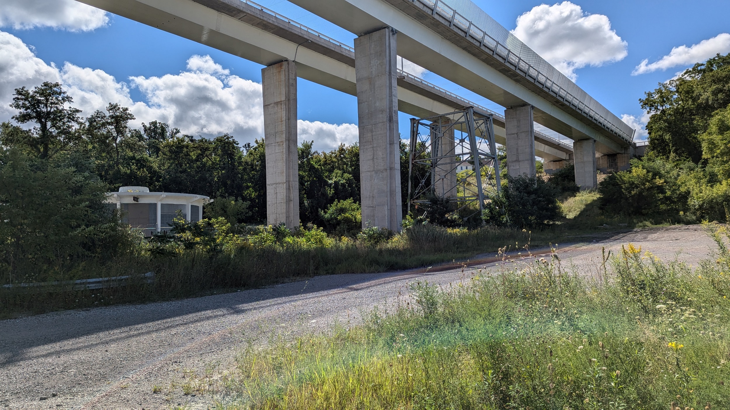
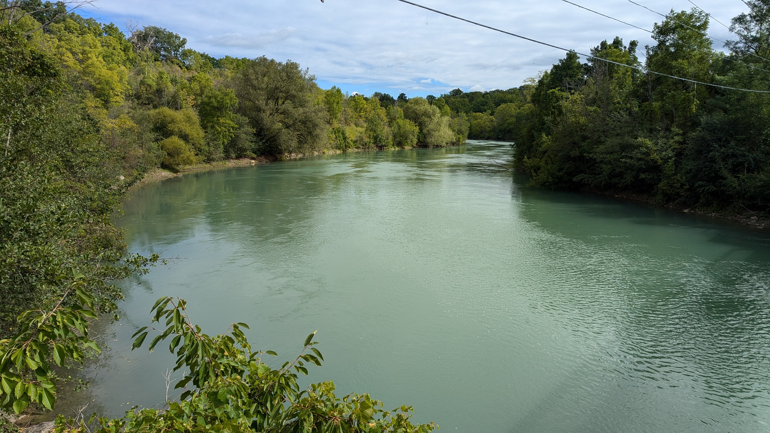
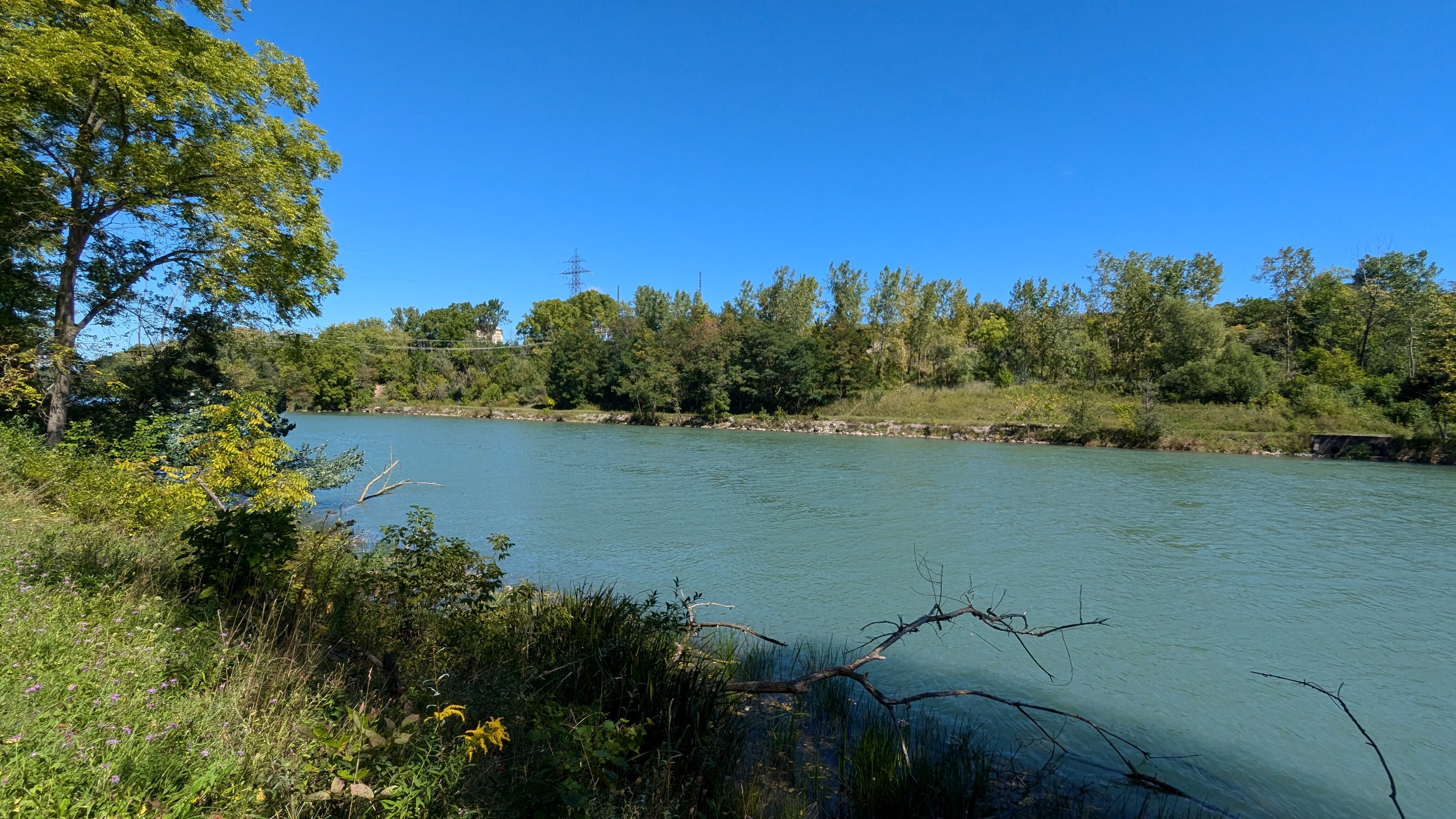
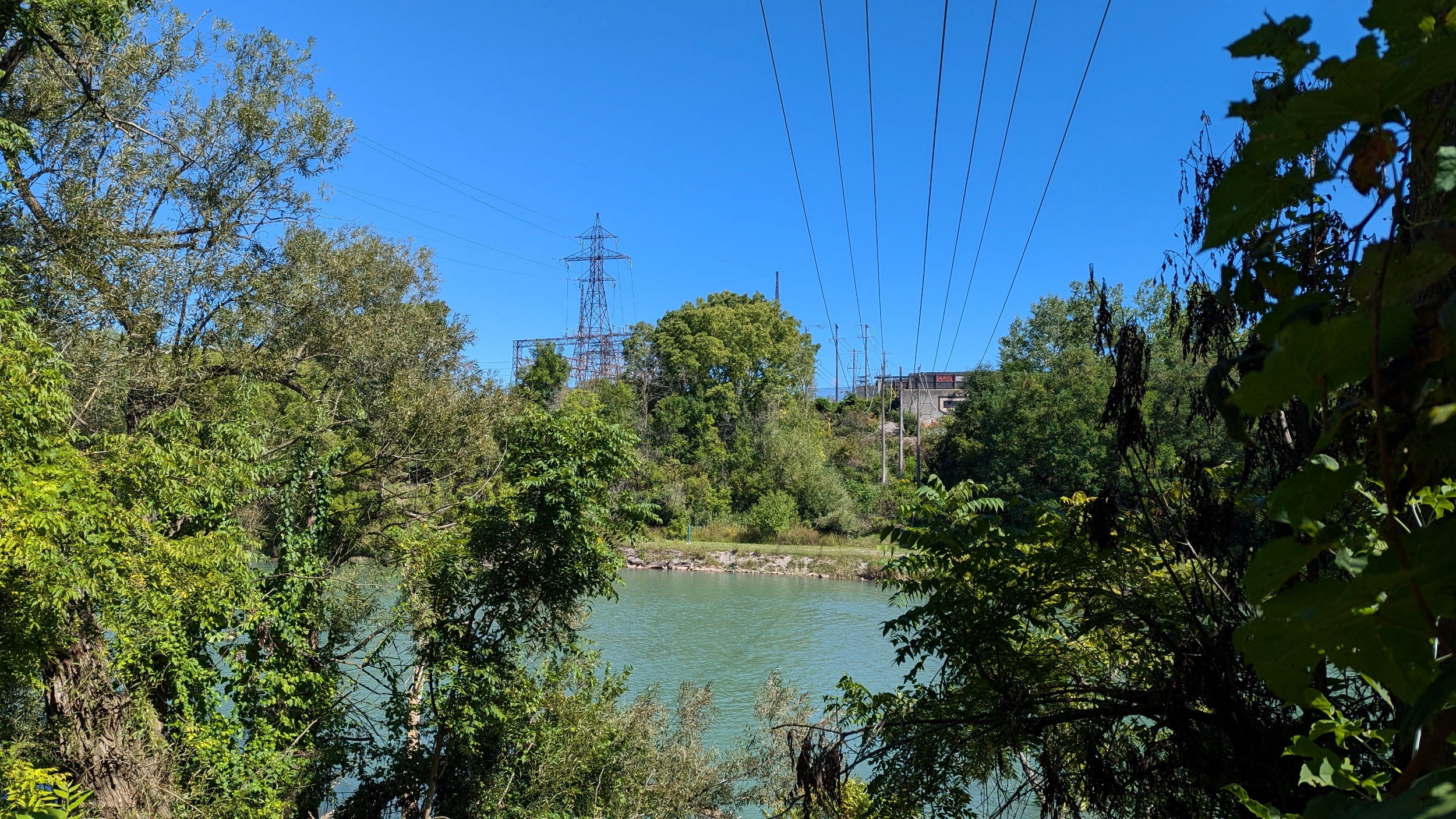
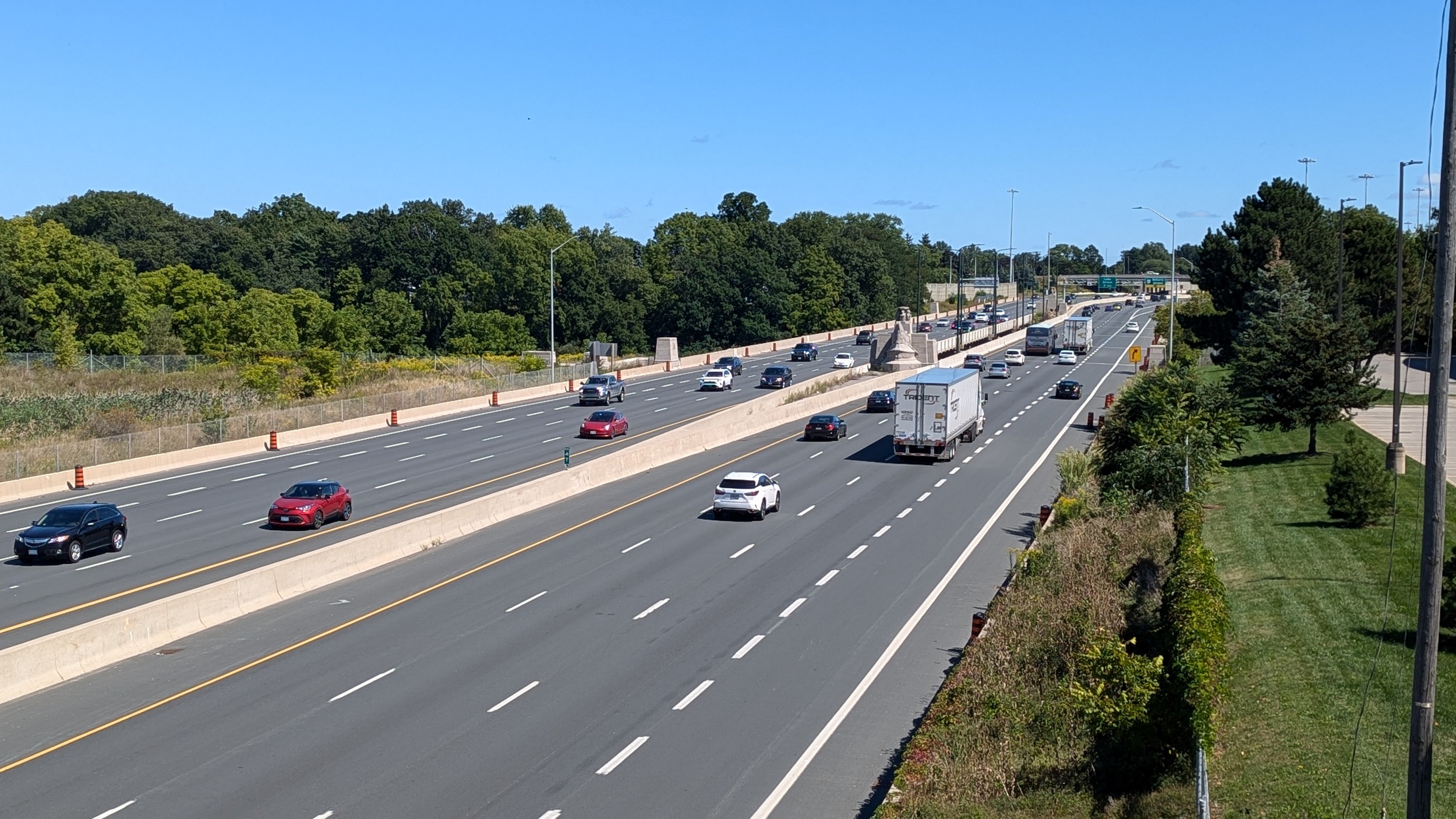
The 406 gets to a precarious stretch here, hugging the bank before sweeping over south of Fourth Avenue. The creek continues on, slowly bending north again.
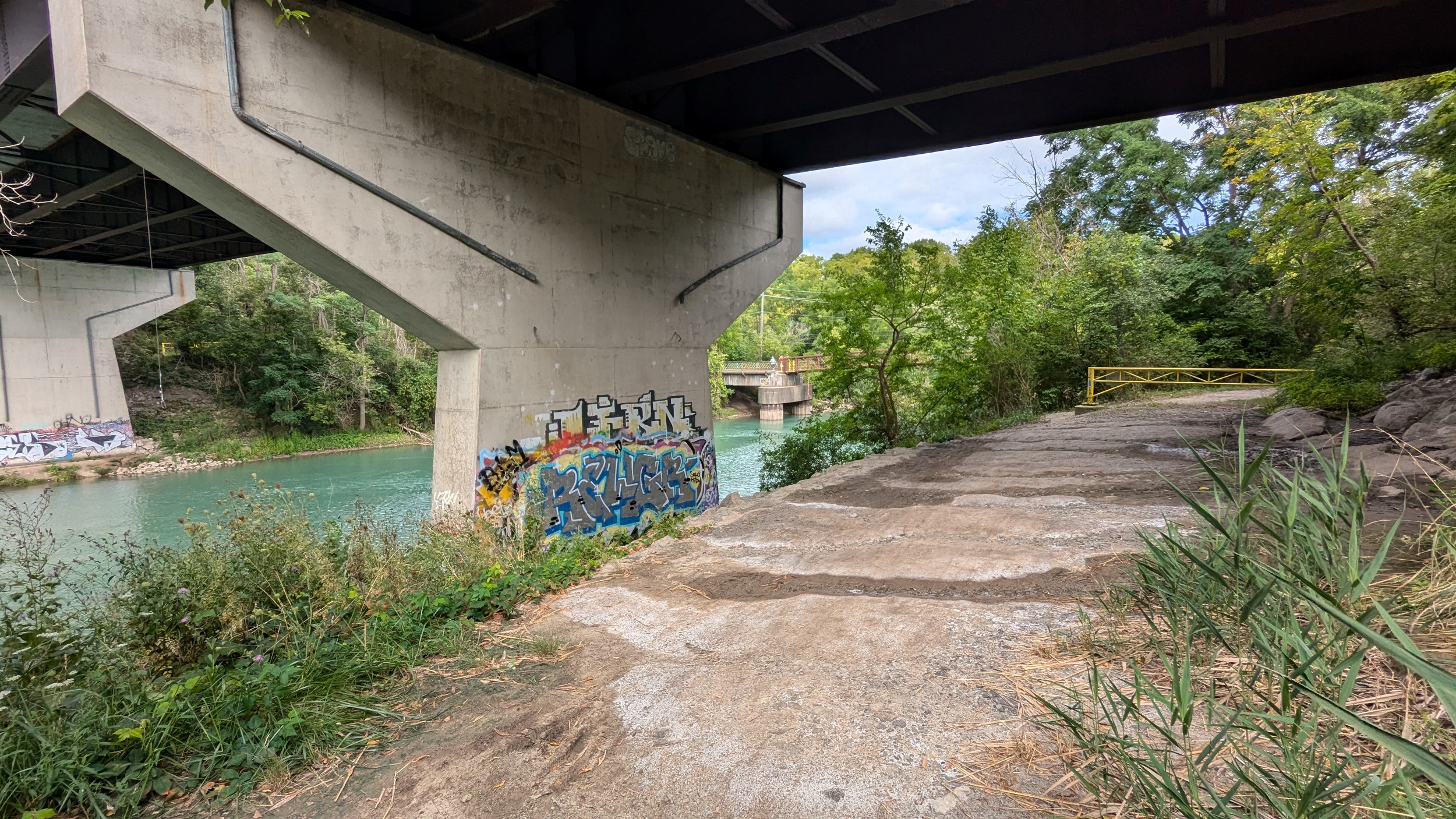
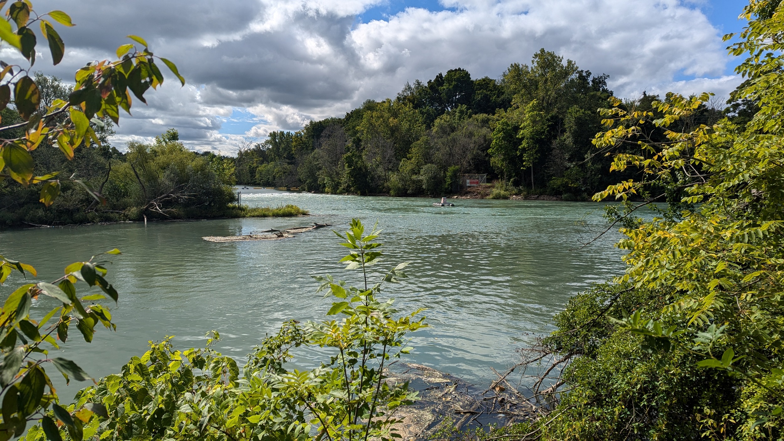
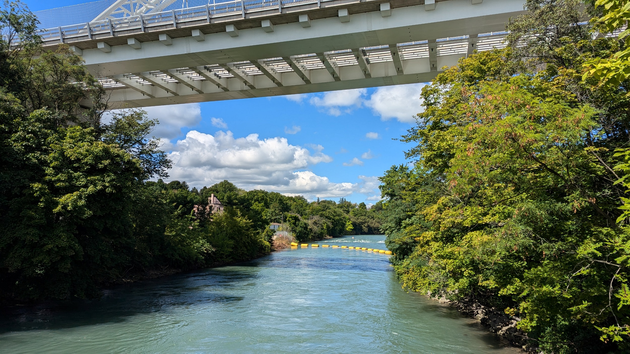
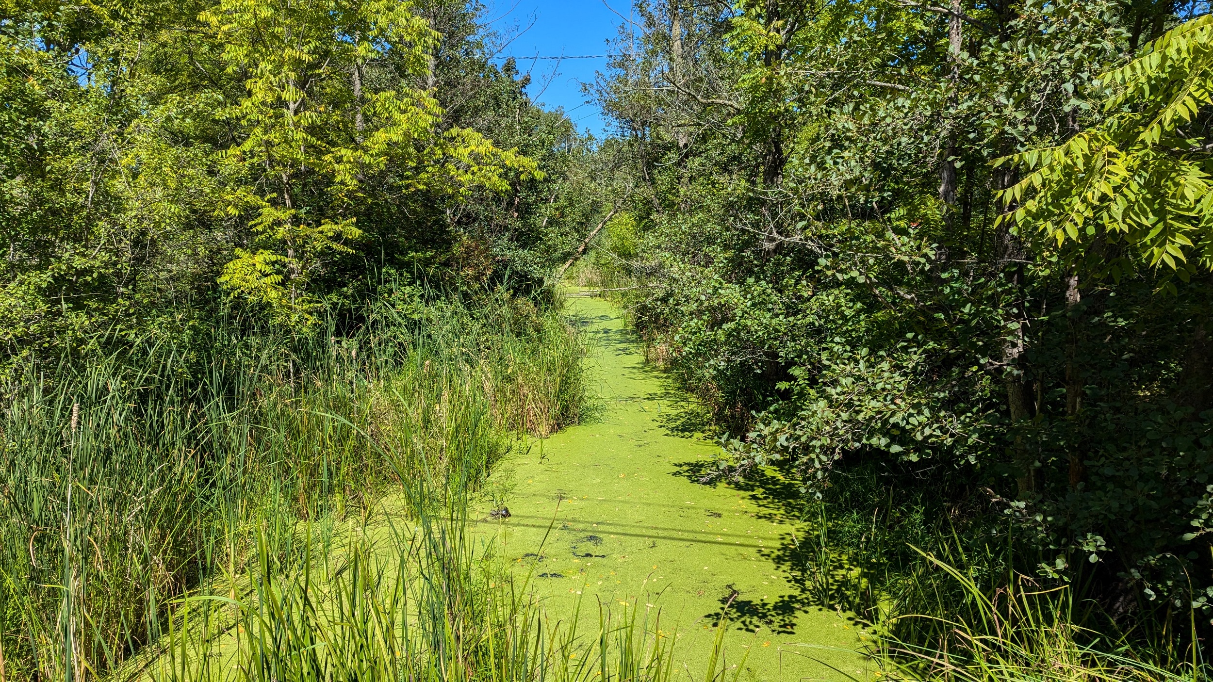
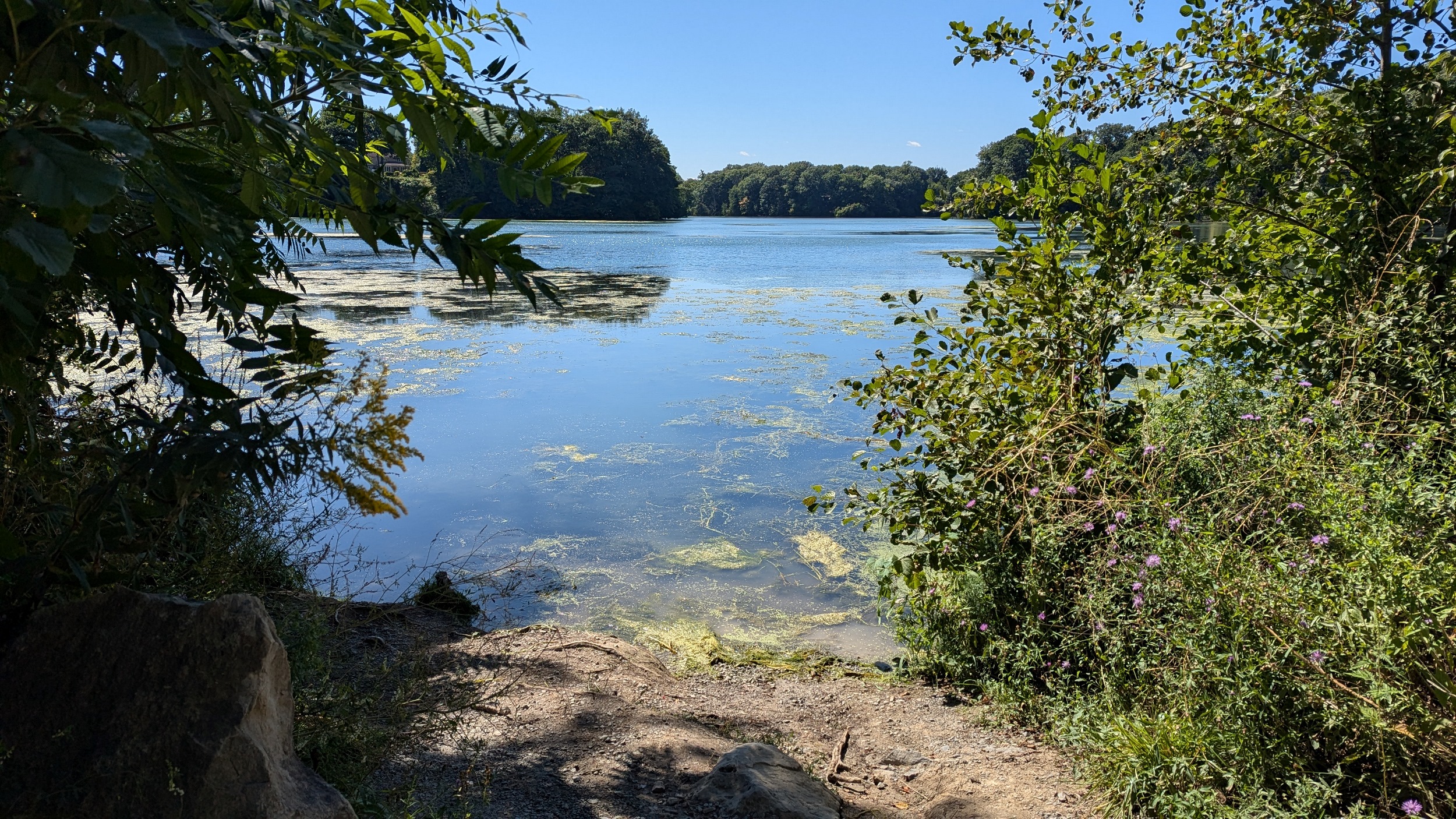
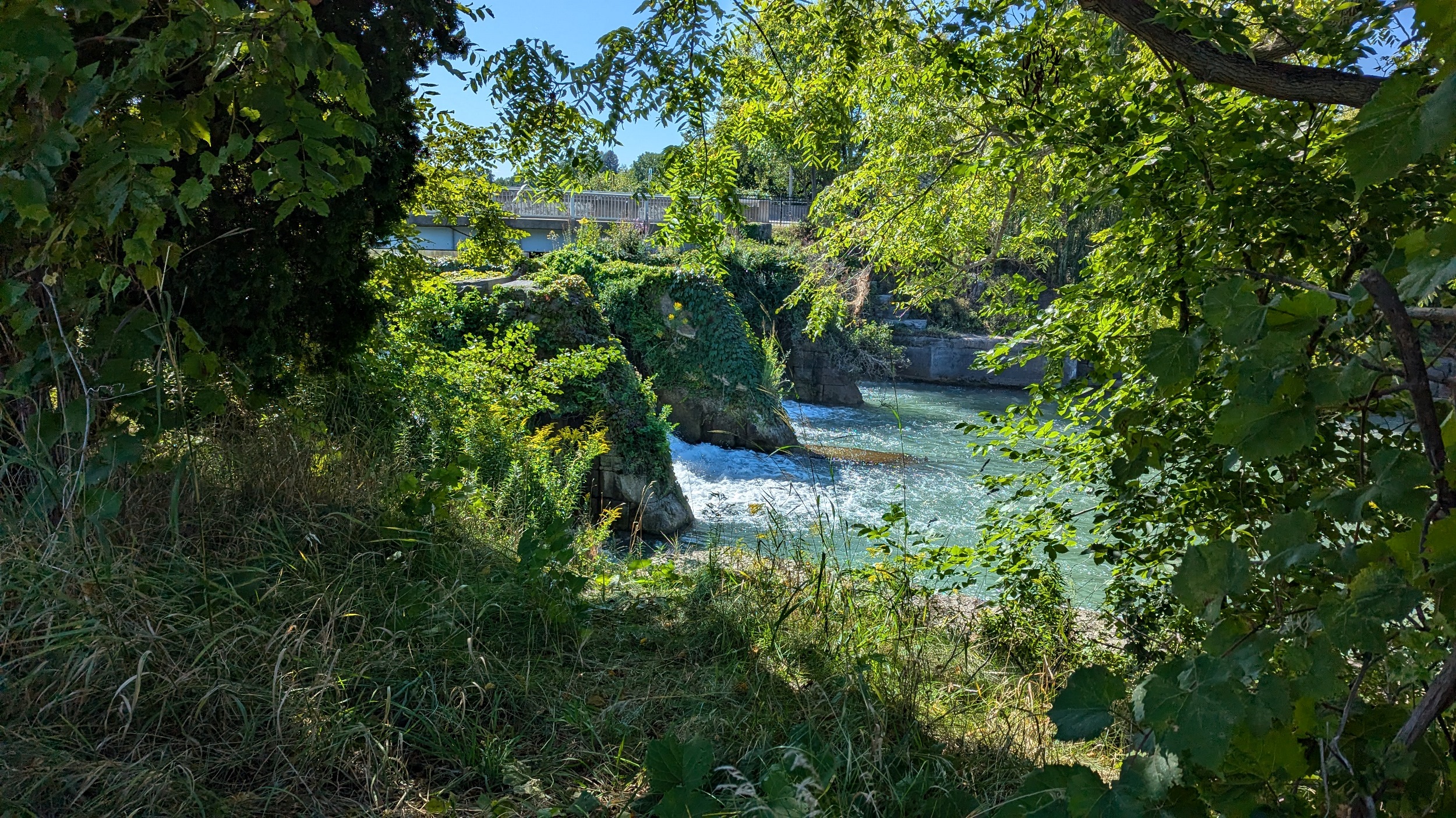
Under Fourth Avenue, you hit a dead end, and get rerouted around “Welland Vale Island”. This stagnant ditch is all that separates it. Back to the river, which is whipping fast over another weir. Hard to convey how strong this current is without video.
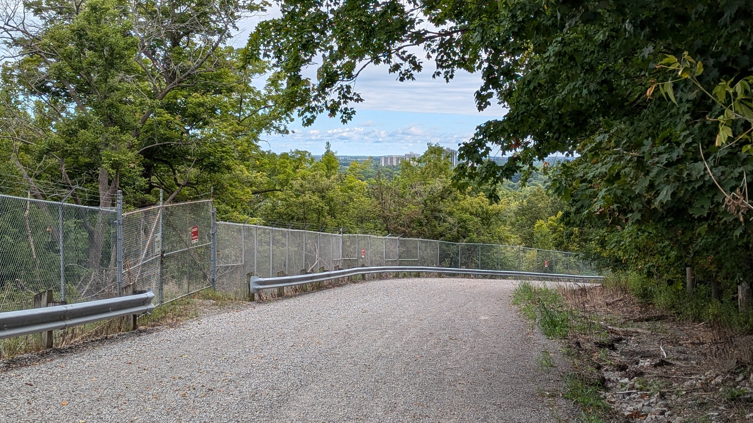
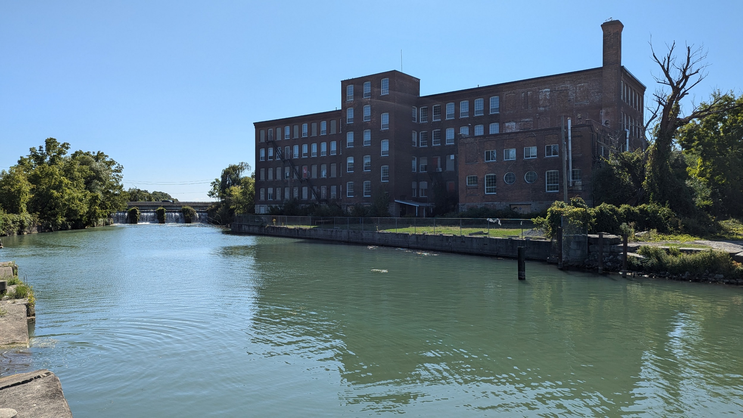
Continuing downstream, past the old GM auto plant on the east bank. The trail starts to climb until it carries you out of the valley, and onto Martindale Road.
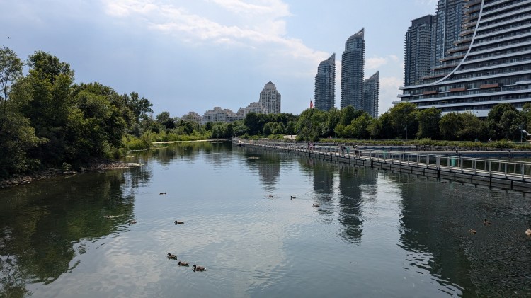
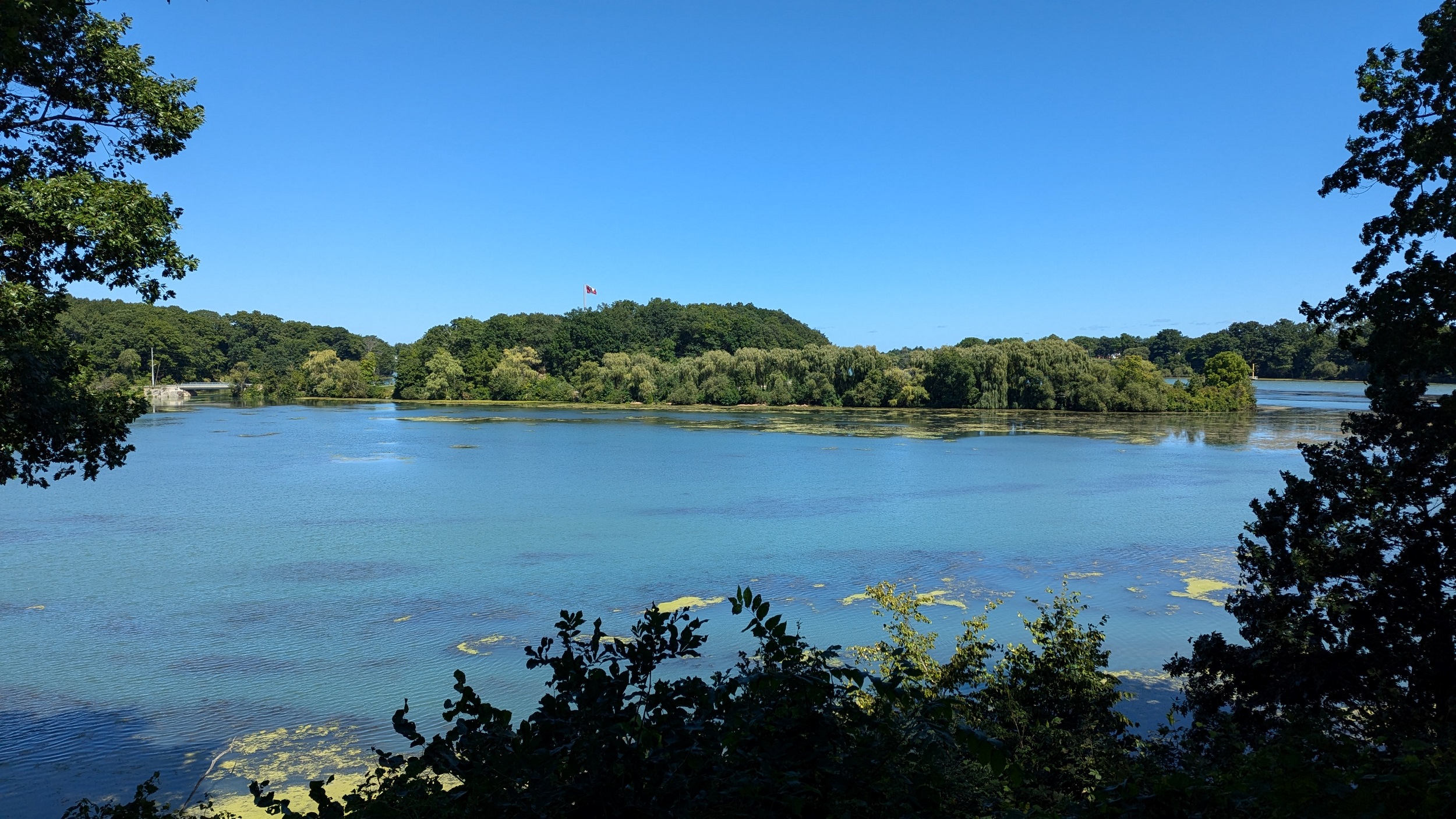
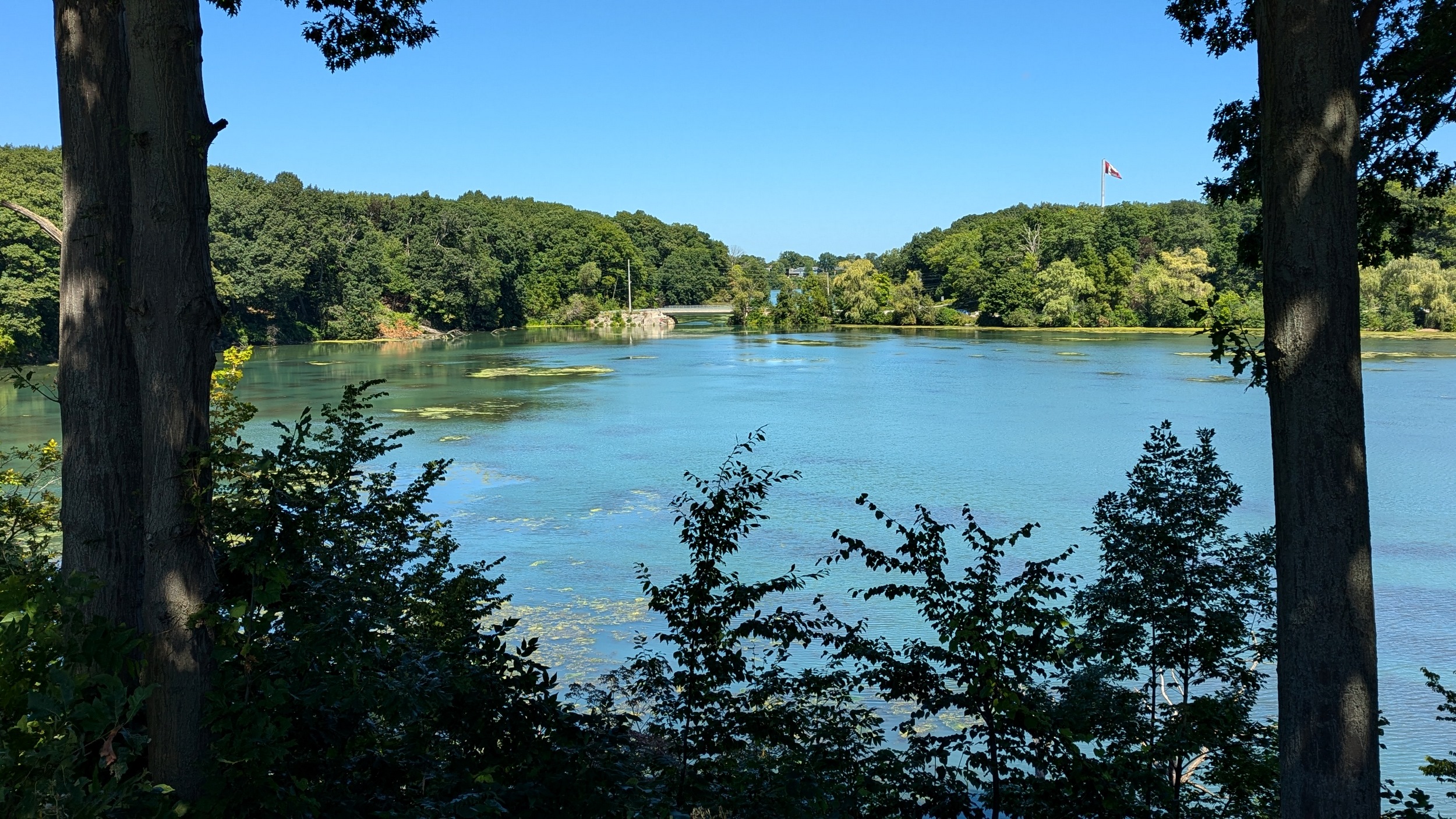
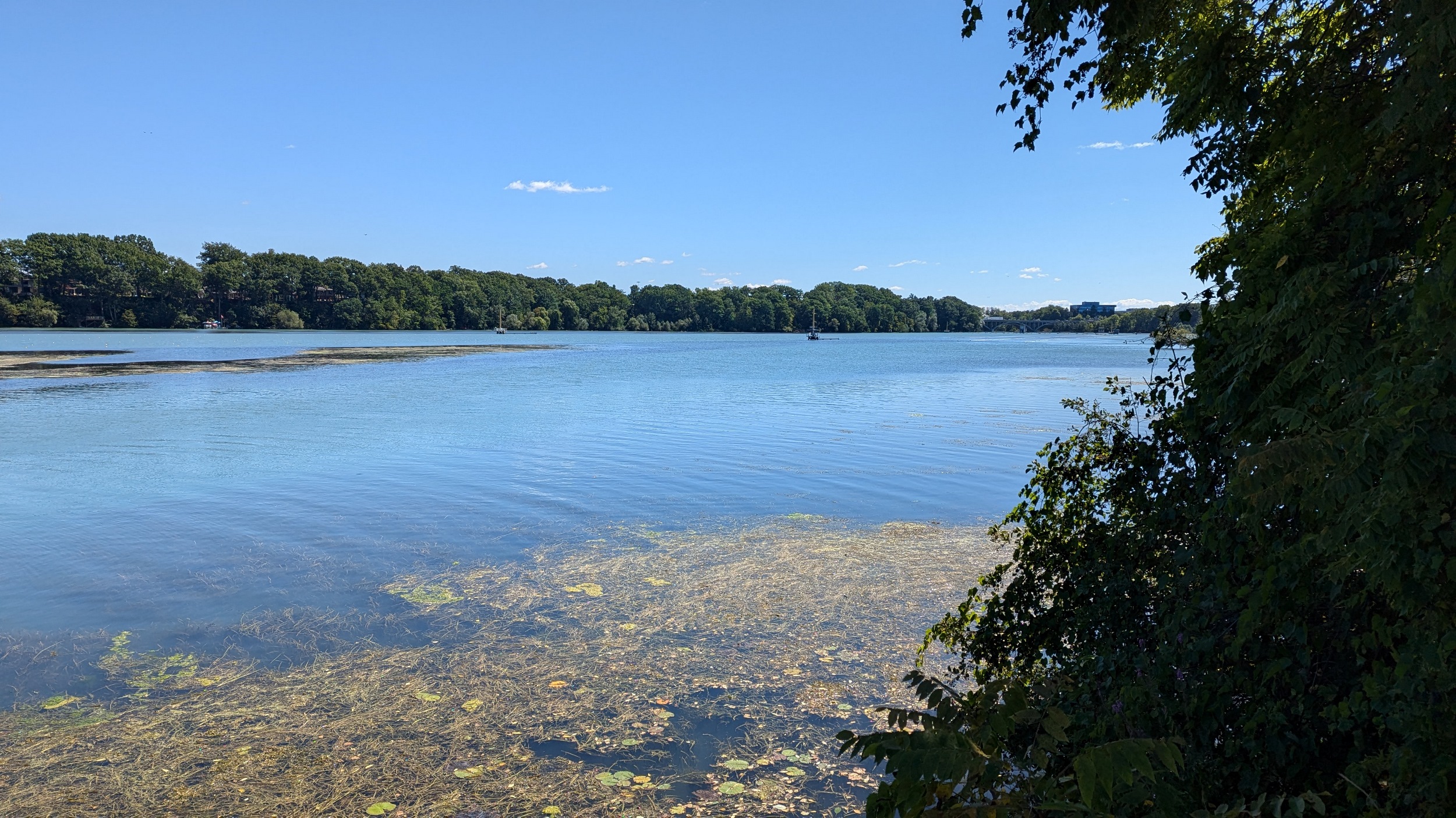
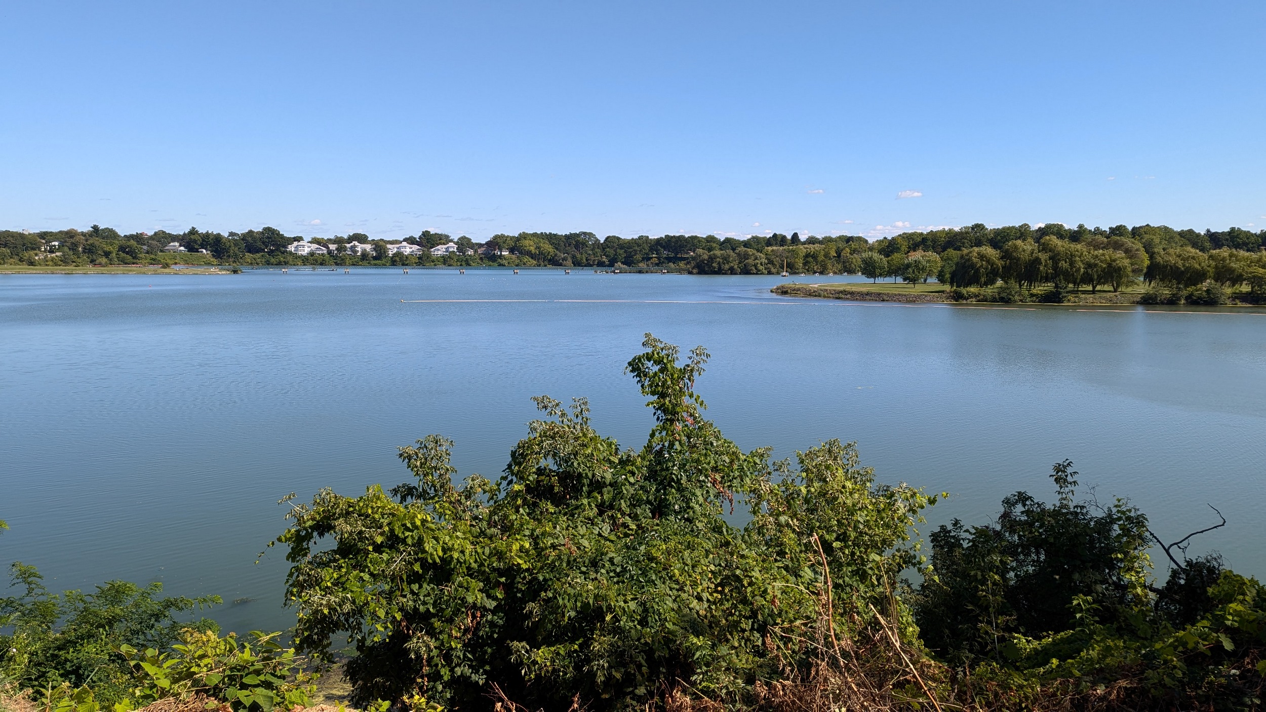
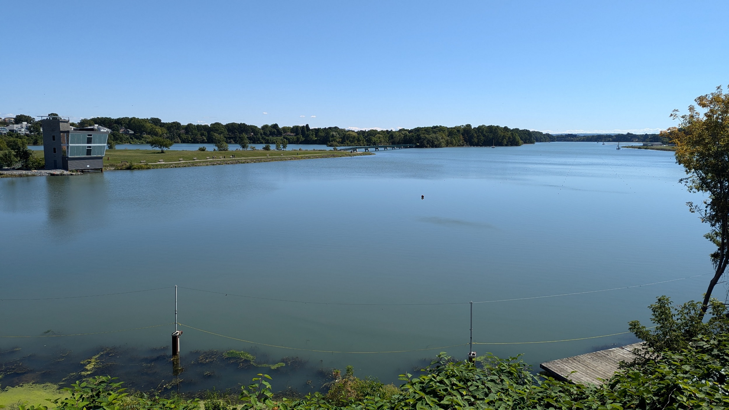
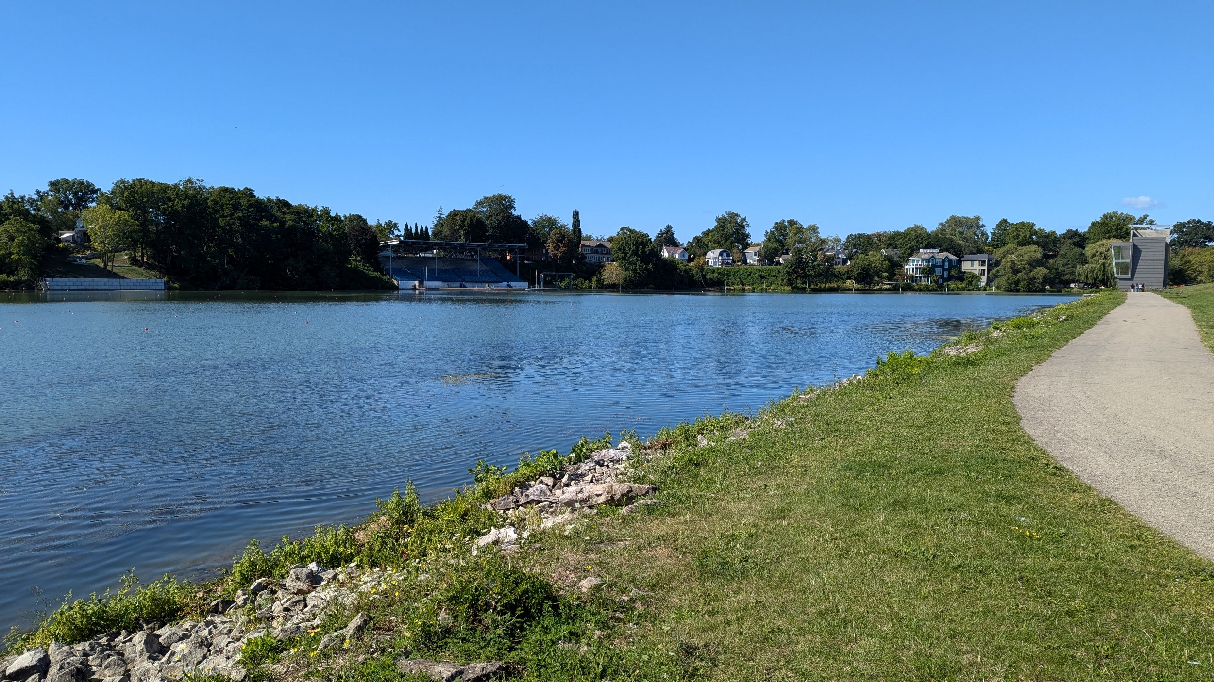
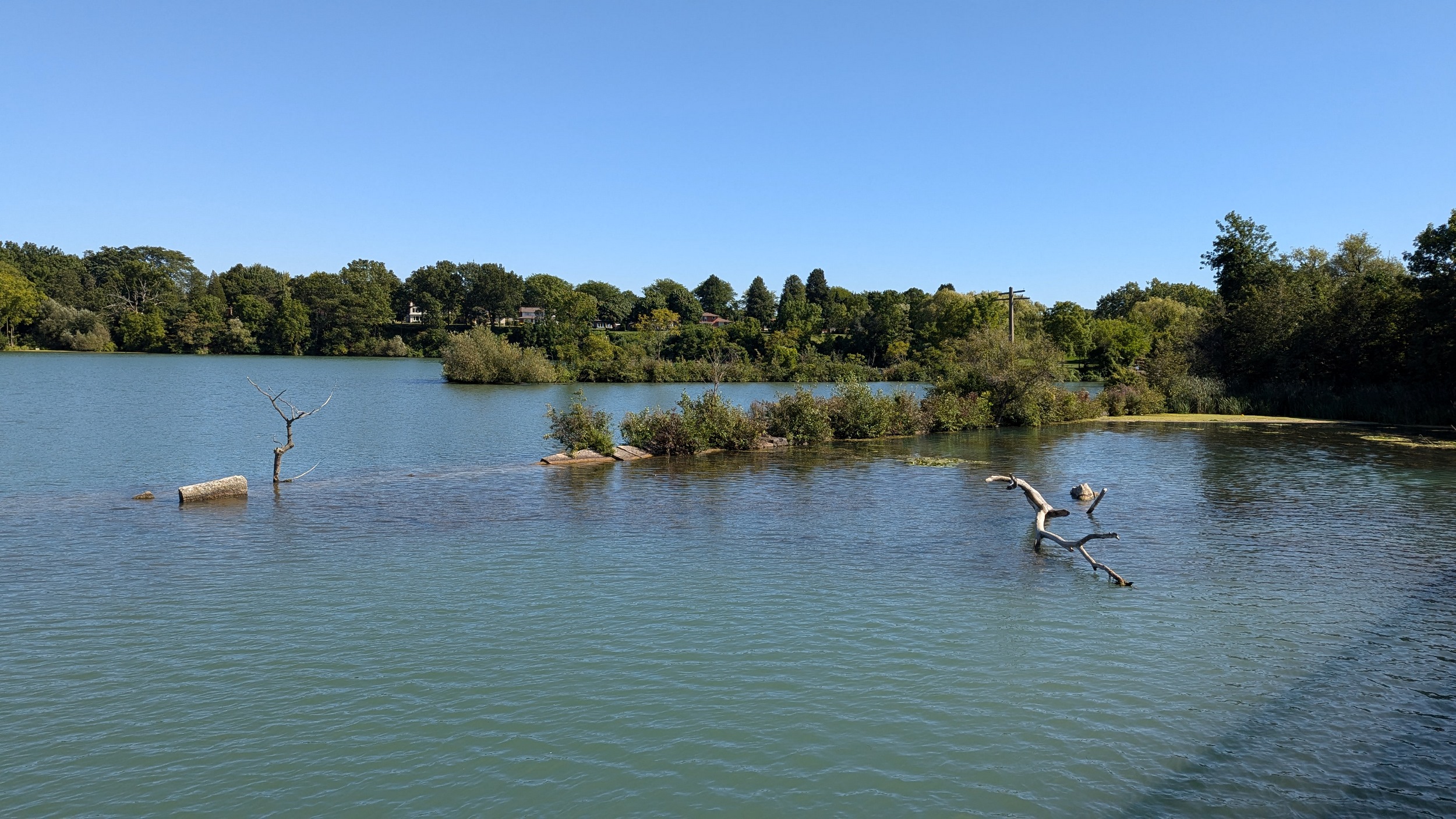
Over the QEW, which crosses the threshold of 12 Mile Creek turning into Martindale Pond. Lots of houses eat up it’s shore, until a pathway tucked at the corner of Golden Boulevard. Unexpected to me, the edge of the hill gives you a great public view of Henley Island.

After popping back into local roads, you go over an inlet along Martindale Road. Then there’s public access again from the end of Dalemere Boulevard, behind more houses, to Postmaster Park. A slight detour then brings you to the bridge accessing Henley Island.


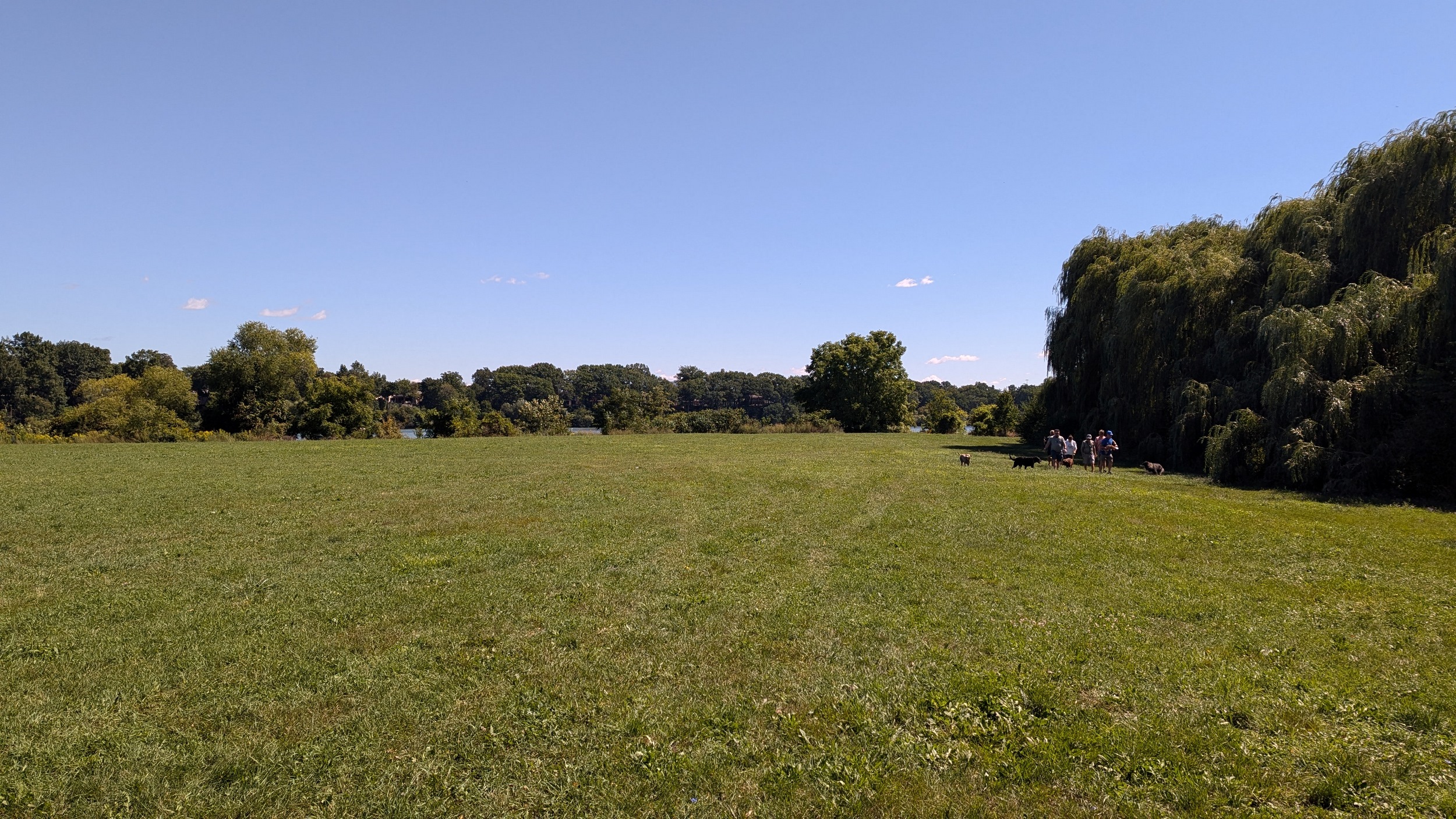
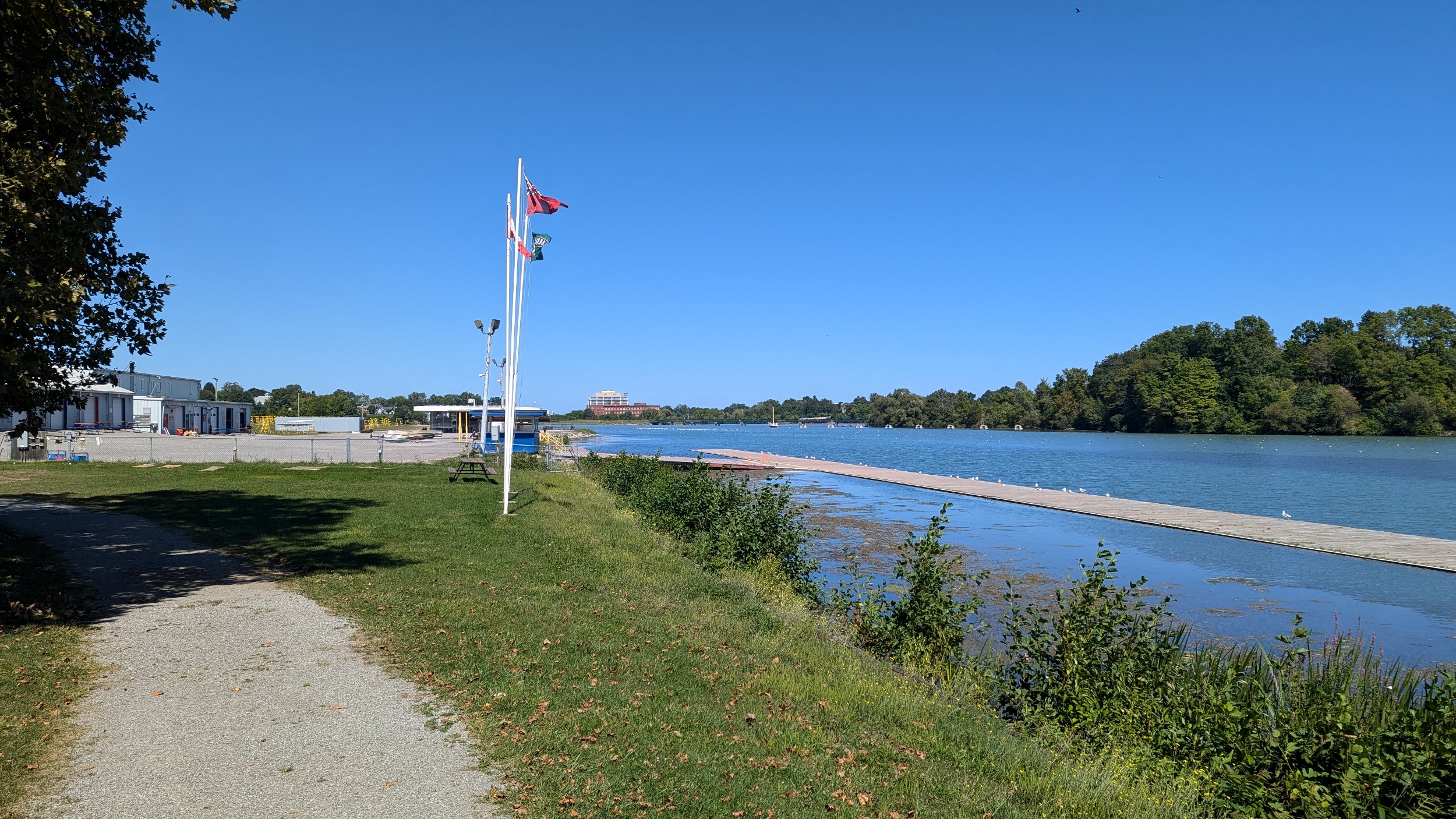
Over the bridge takes you to the west part of Henley Island, with a public canoe/kayak launch, and an (unofficial?) off-leash dog park. I had assumed the rowing centre was partly open to the public, but I was wrong. Off the island I go.
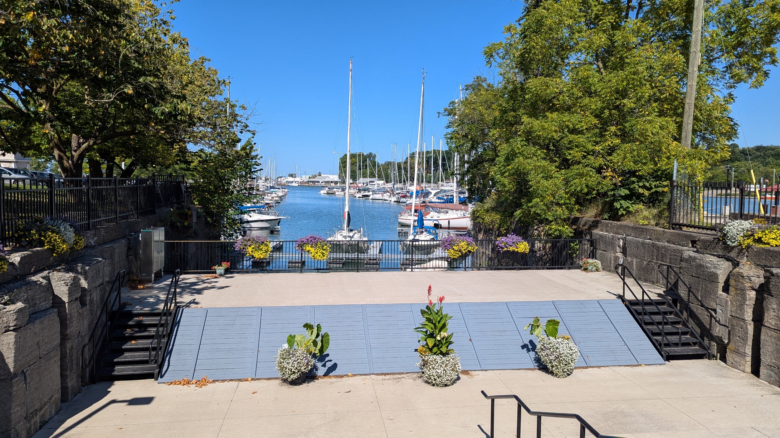
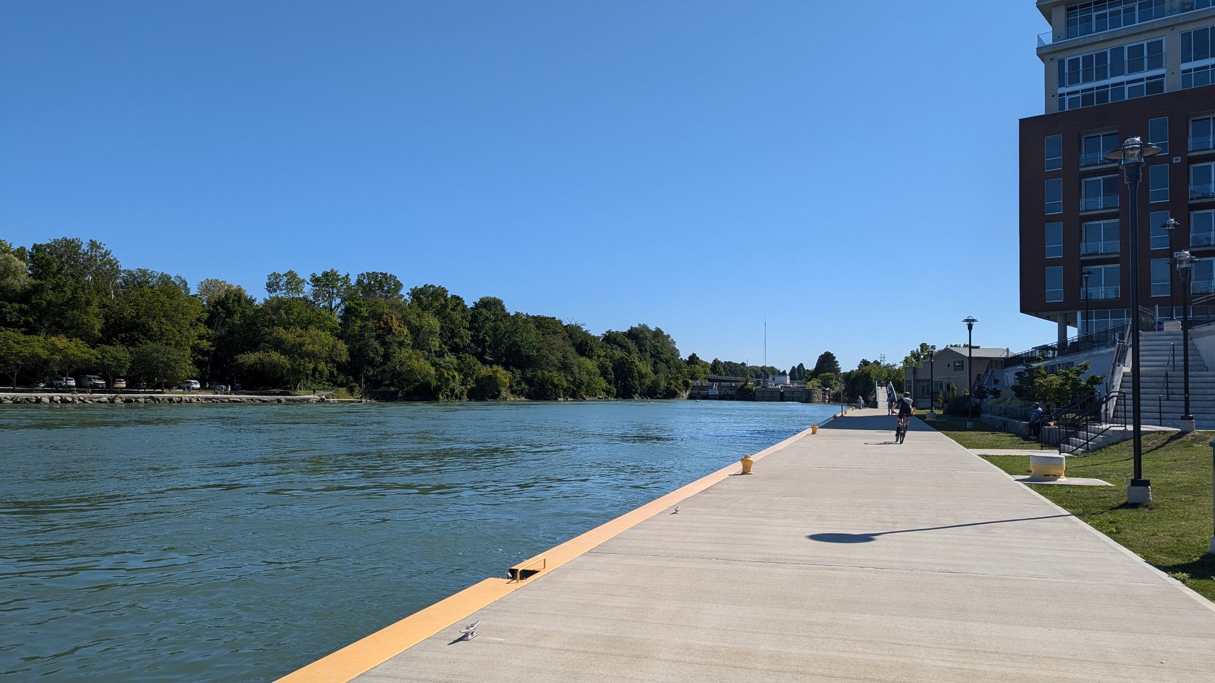
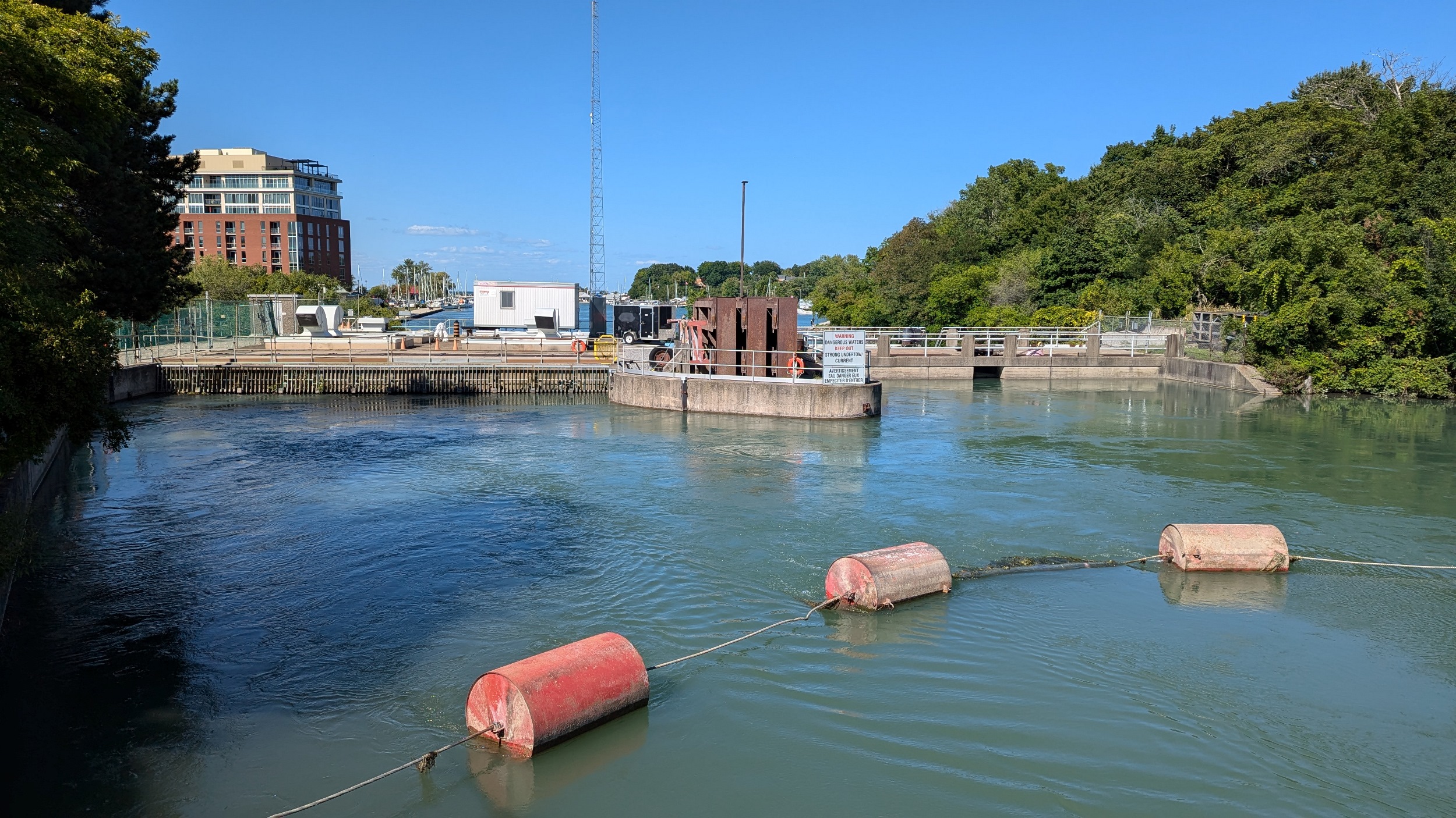
A short jog behind some more houses, then it’s a long stretch into Port Dalhousie with only a couple high views of the pond. At the marina, it’s now to the lake.
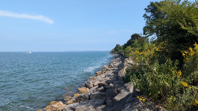
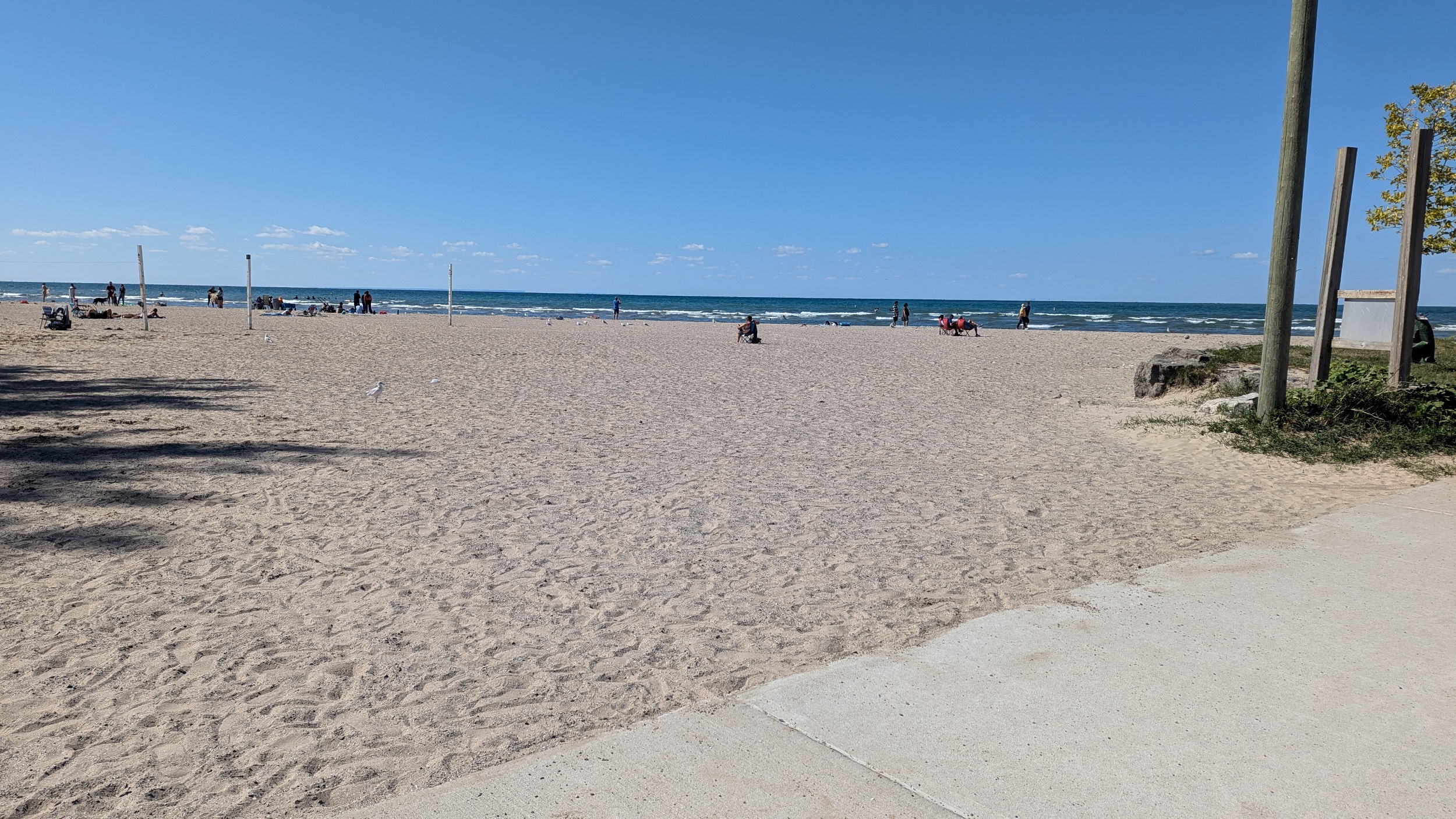
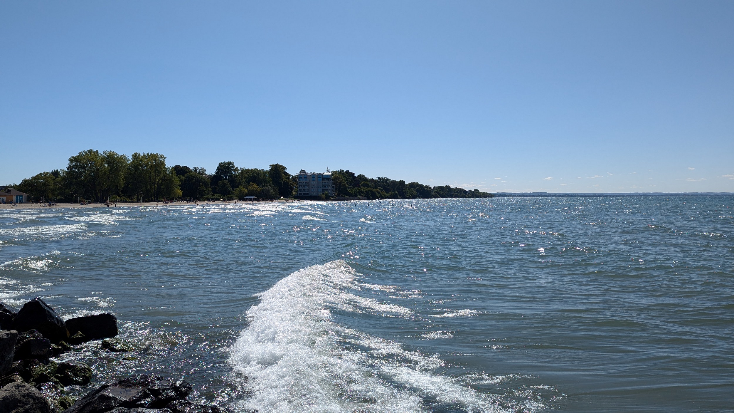
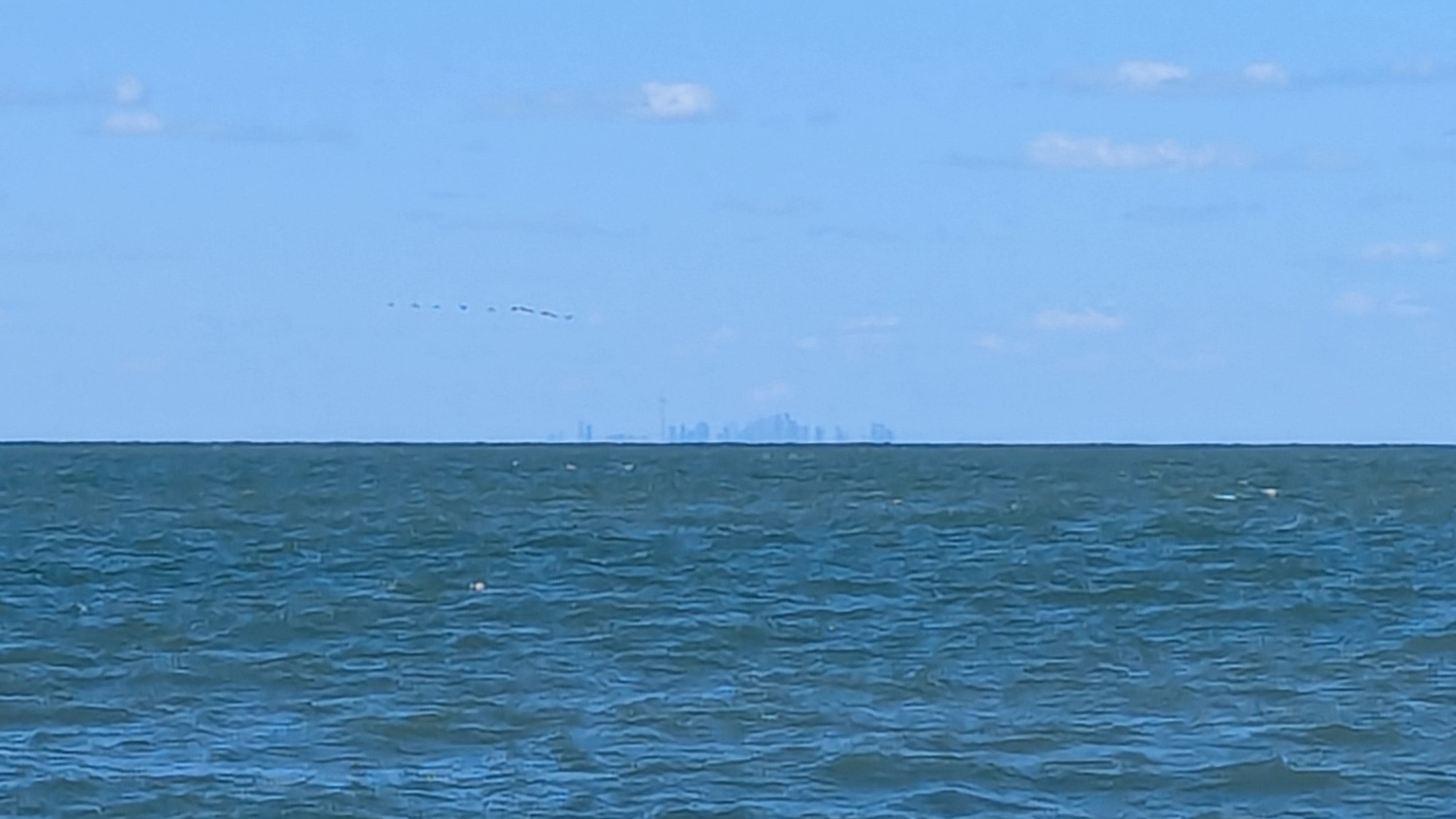
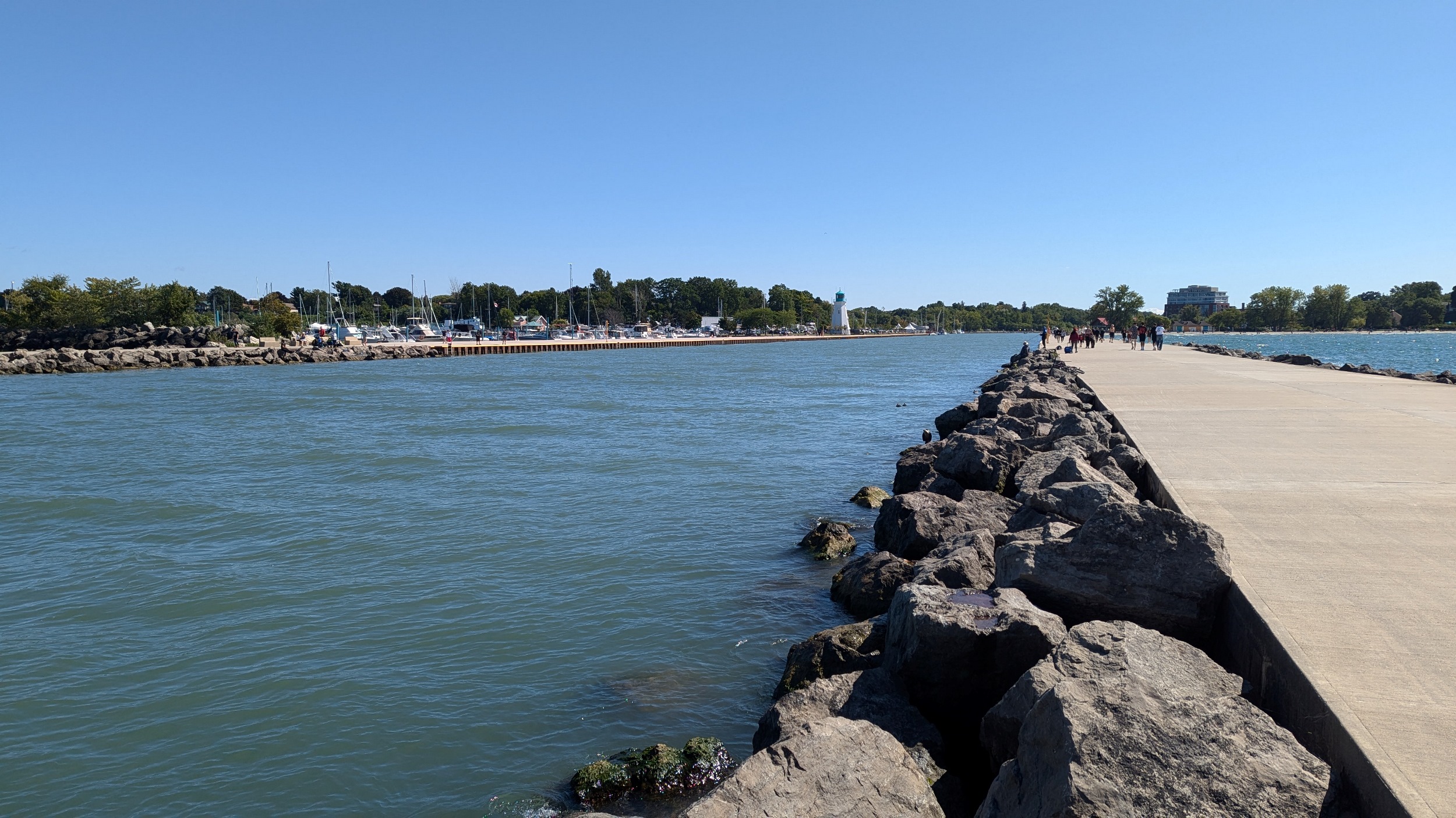
Long busy pier, much busier than the east side. This shelters the creek / pond outflow for 600 metres. Can almost see Toronto, but it’s hazy over the water. Back down to Martindale Pond, I’ll cover the other pier during another walk.

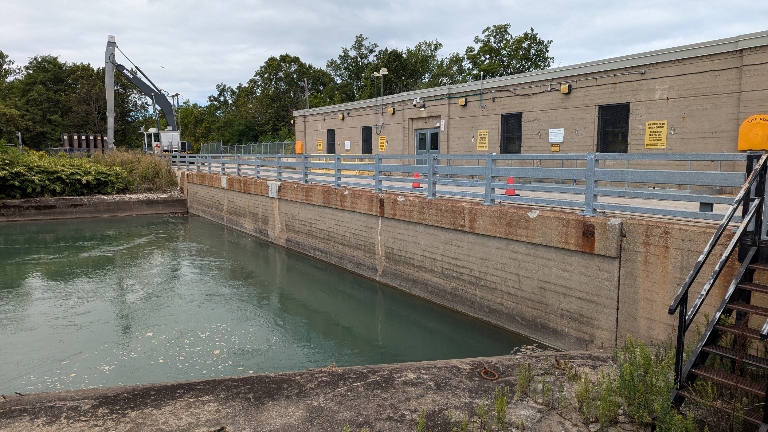
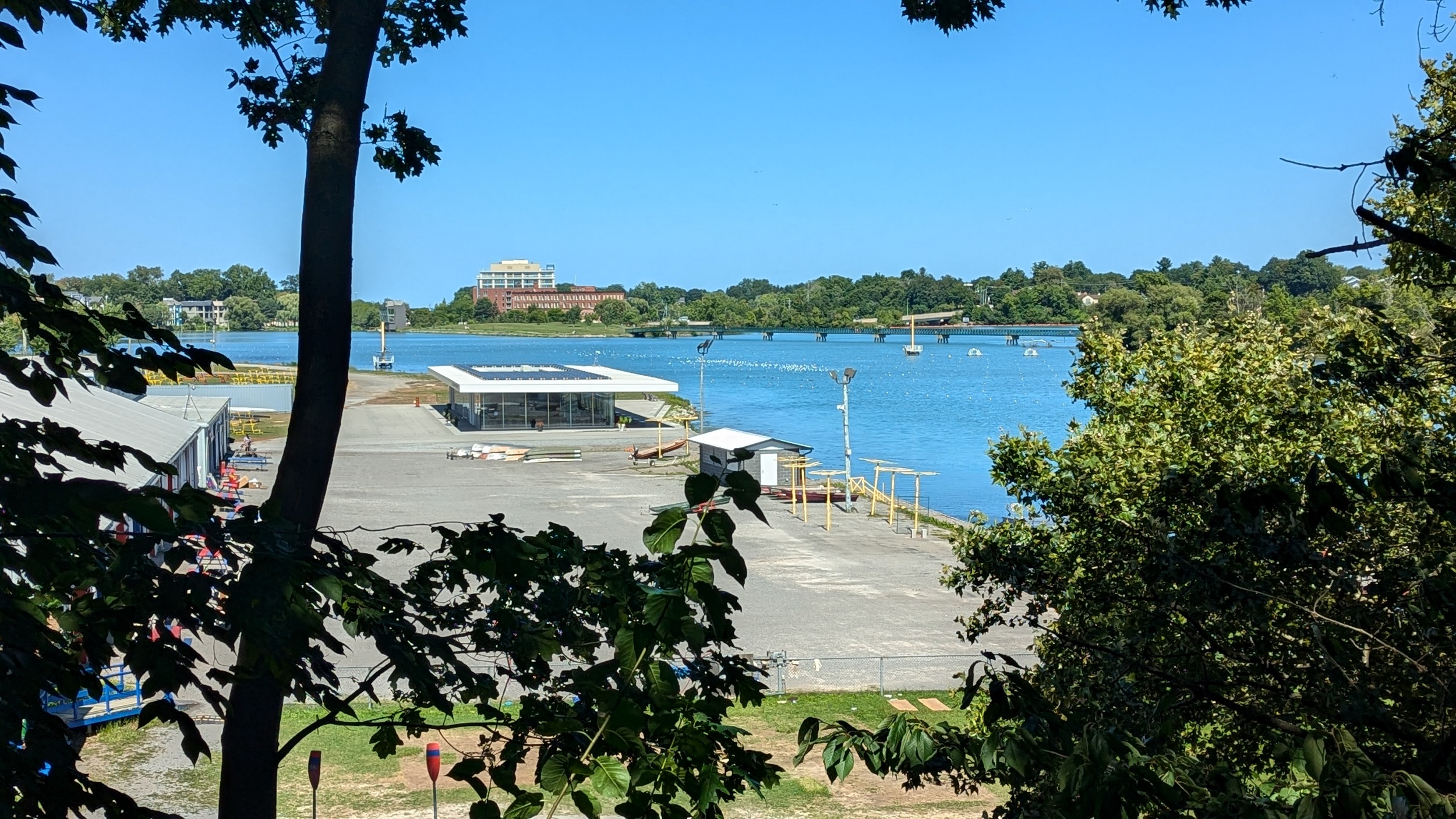
Over a small bridge to some waterfalls and the Heywood Generation Station (no relation). I hadn’t realized there was this much elevation differential between the lake and the pond. Another look back to various structures for rowing competitions.

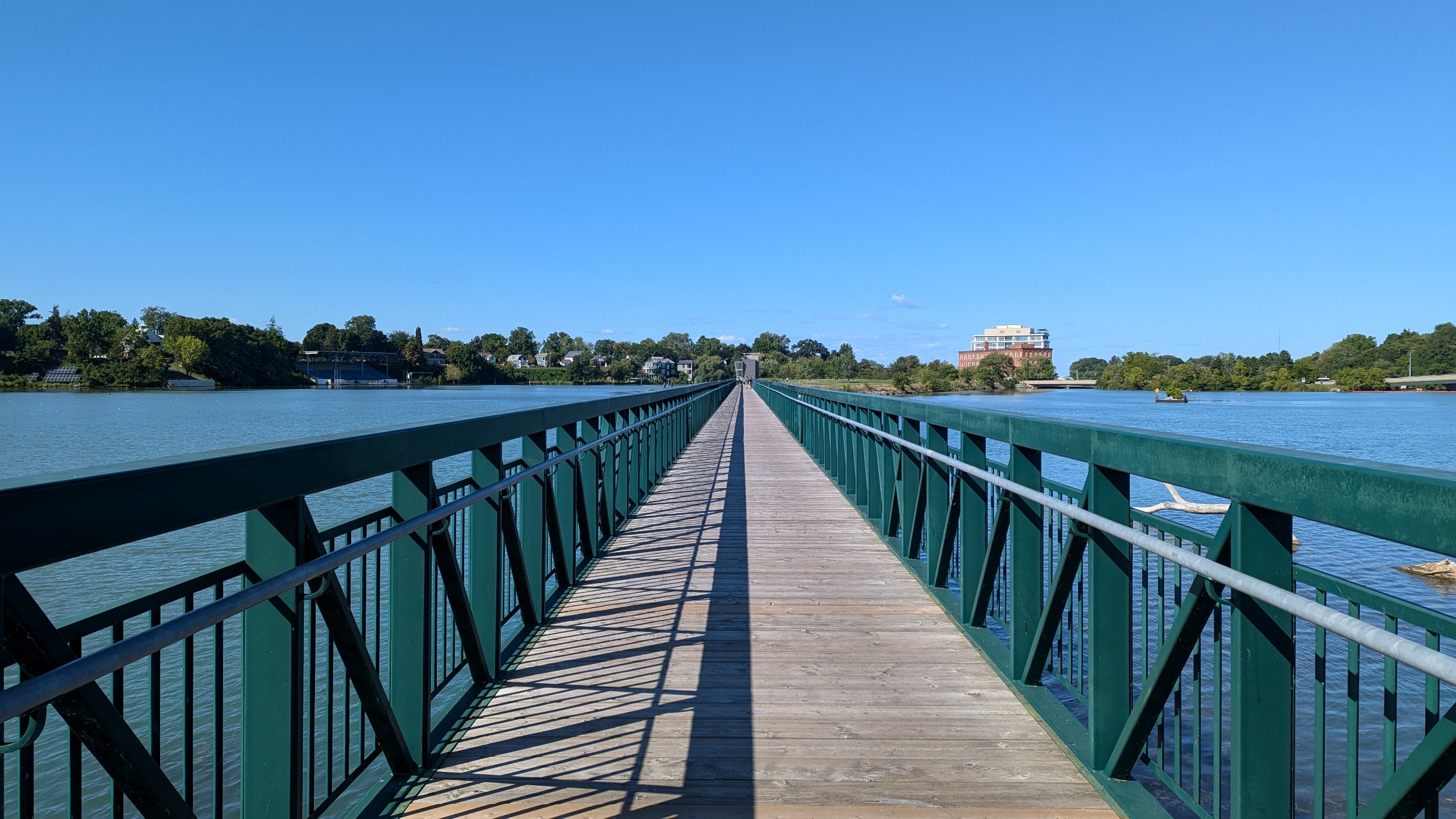
Over the 270 metre footbridge to Jaycee Gardens Park. Remnants of the first, second and third canals are dotted along here. That’s all for today.


Date: September 2, 2024
Length: 24.3 km
Type: Riverine