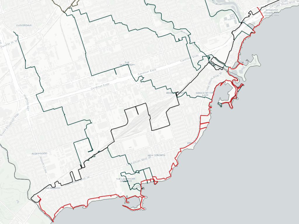
Good morning from southwest Etobicoke. Today I’ll be following Toronto’s shoreline from Etobicoke Creek to the Humber River. I’ll start at Marie Curtis Park and head east. Let’s go.

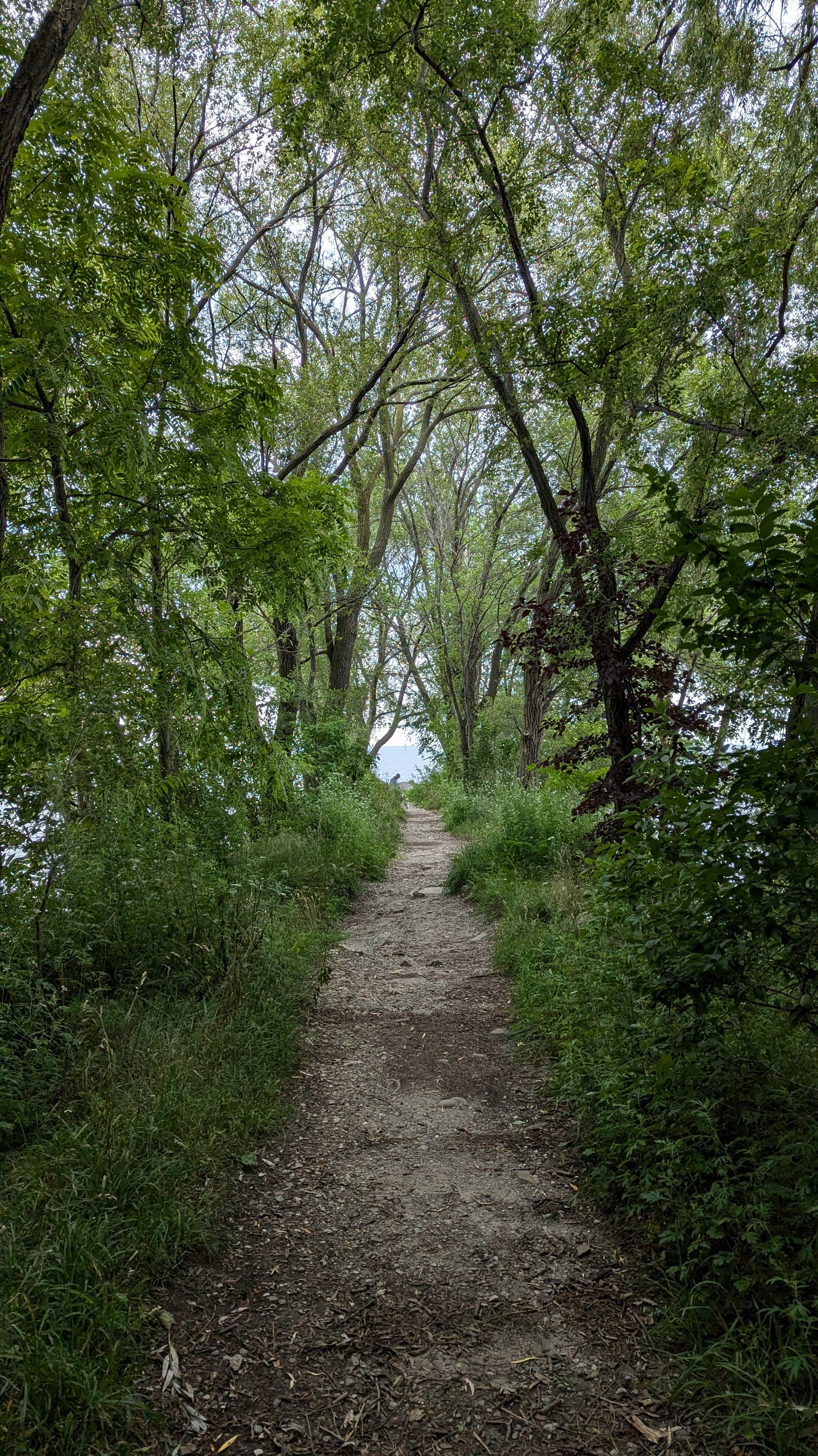
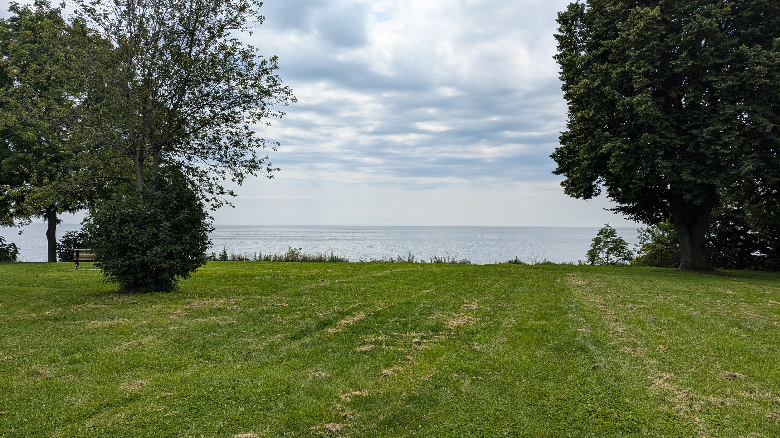
Etobicoke’s shoreline was an early inspiration for what Metroscapes is today. Marie Curtis Park only exists because Hurricane Hazel wiped out dozens of houses that used to flank the creek. After the public beach, you get booted to the street fairly quickly. No sidewalks and limited parkland until Long Branch Park, which was one of a few lakefill projects.

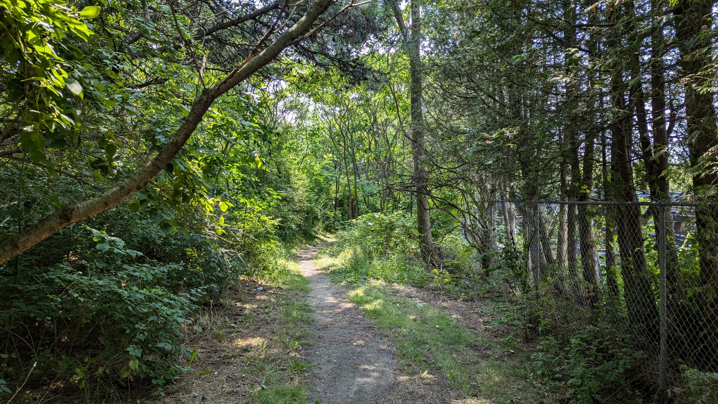
Wraparound the peninsula, then sidewalk-less streets again packed with hikers and bikers until Twenty-Eighth Street. Only two roadway rights-of-way parkettes in this stretch.
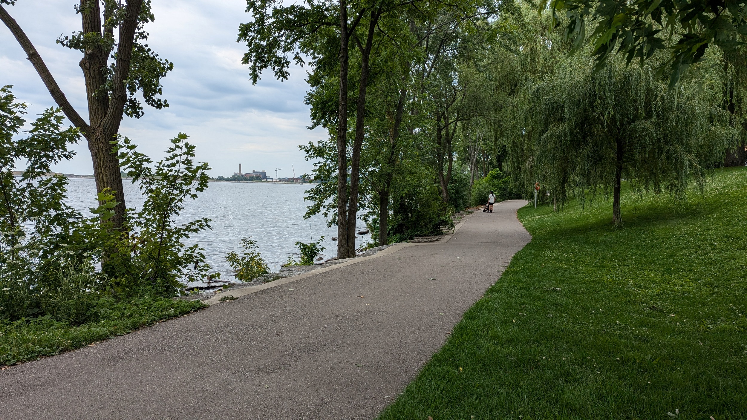
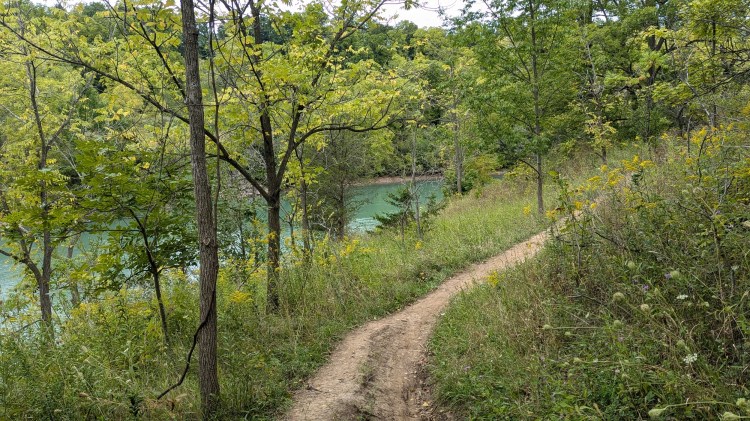
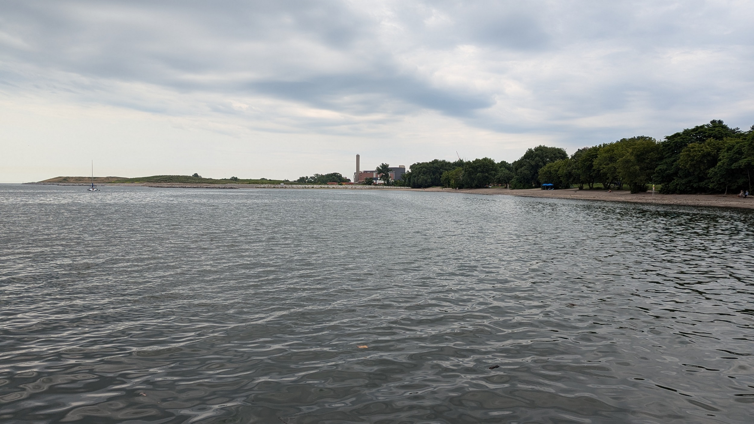
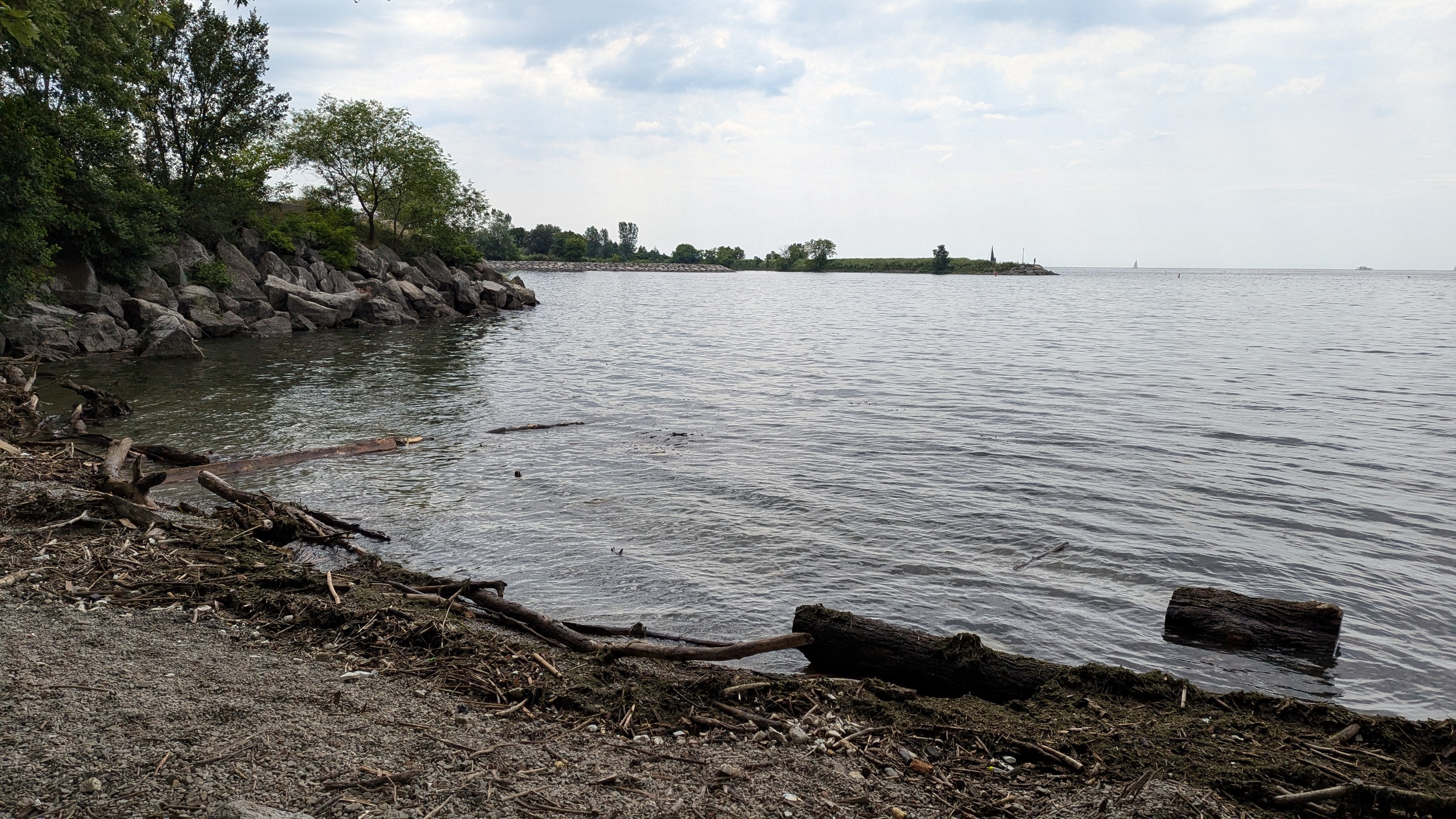
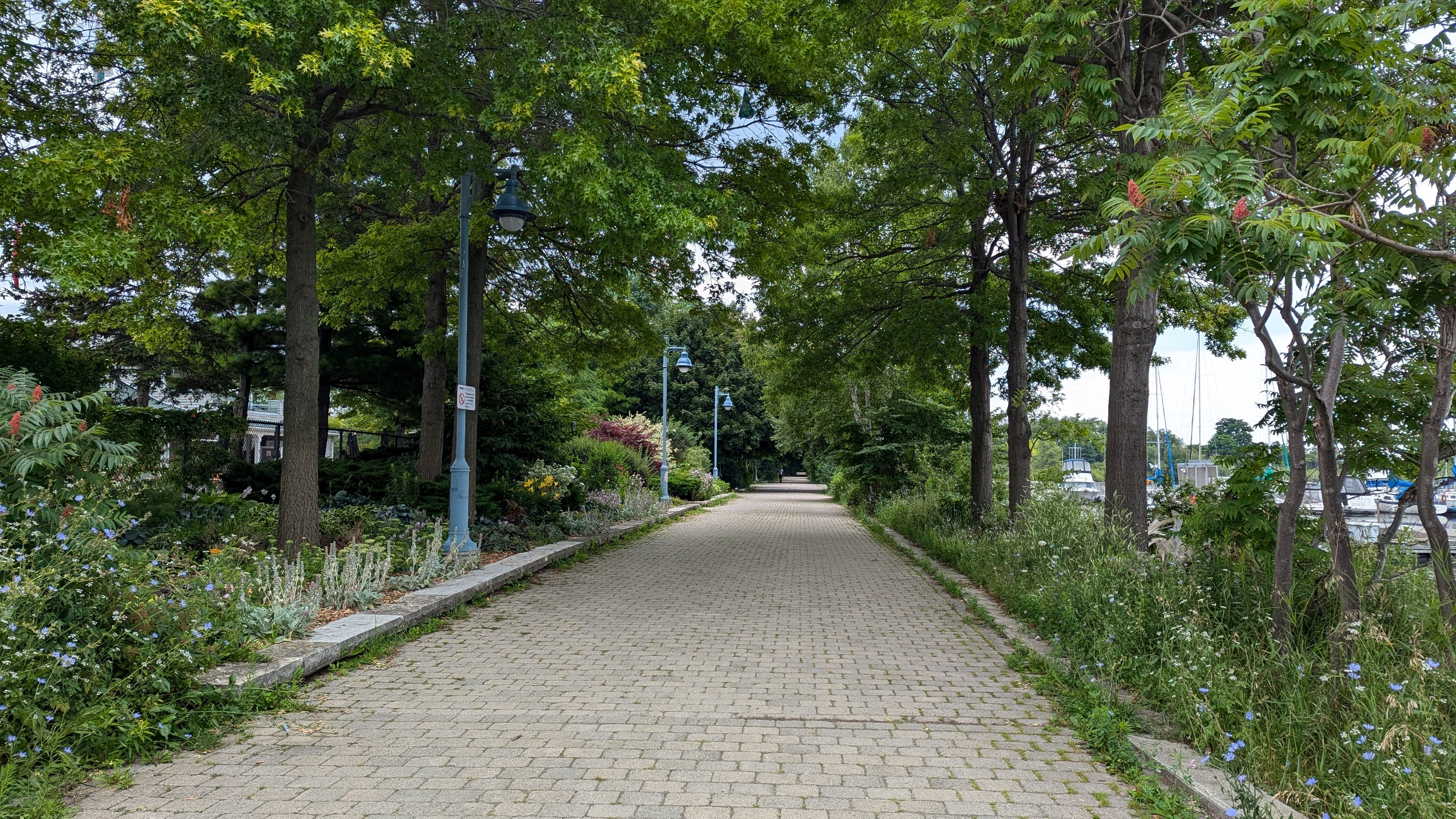
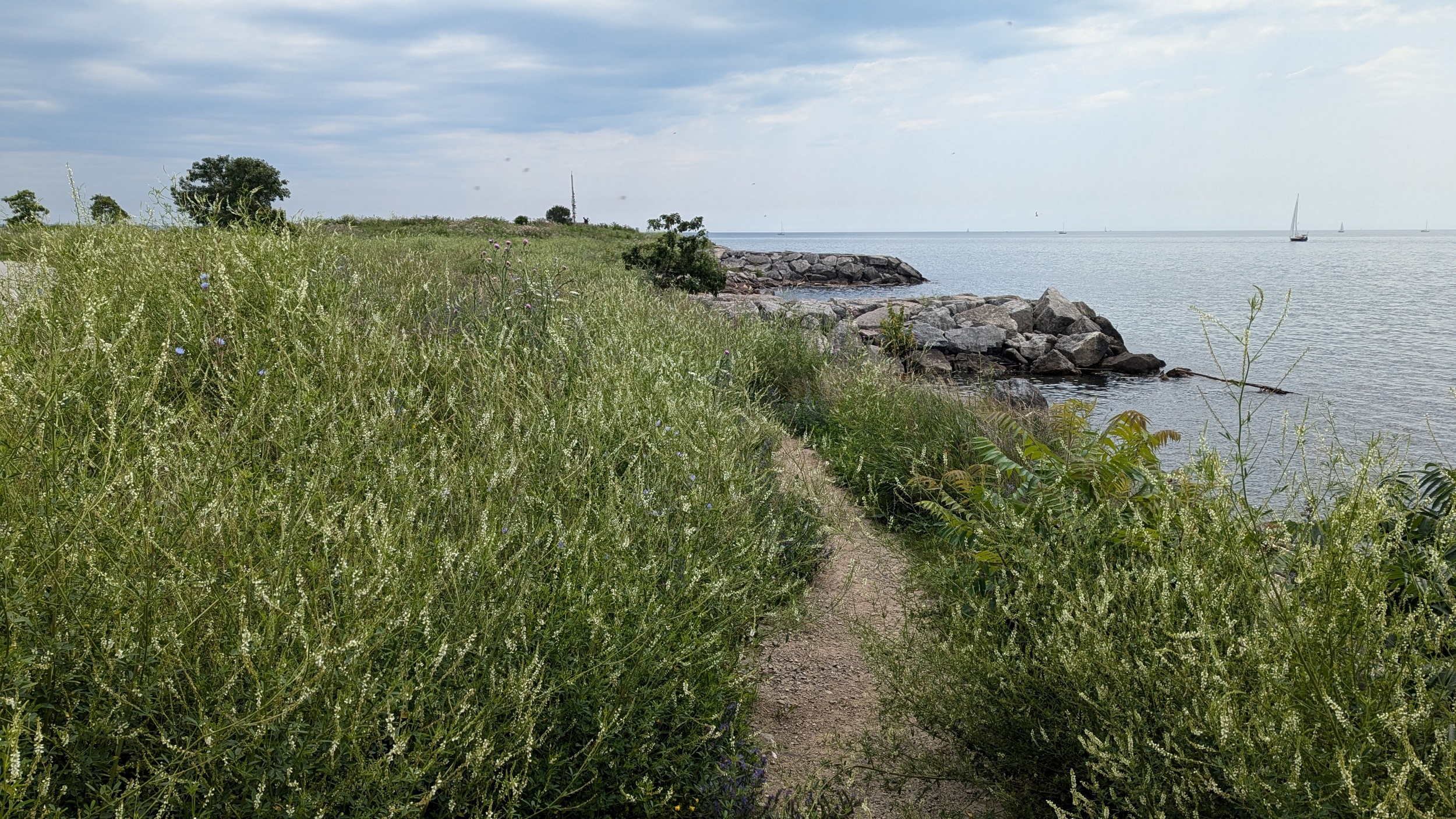
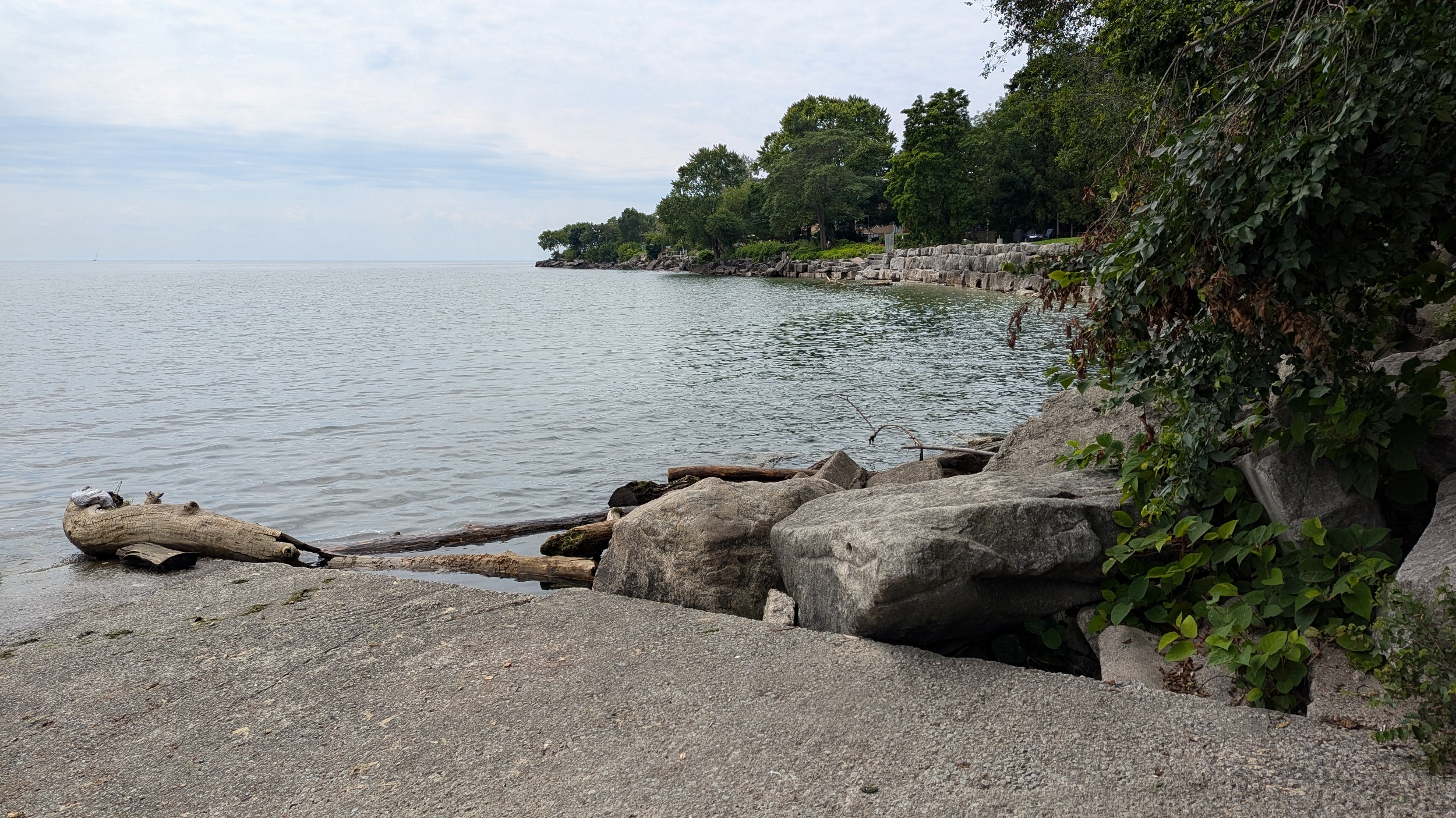
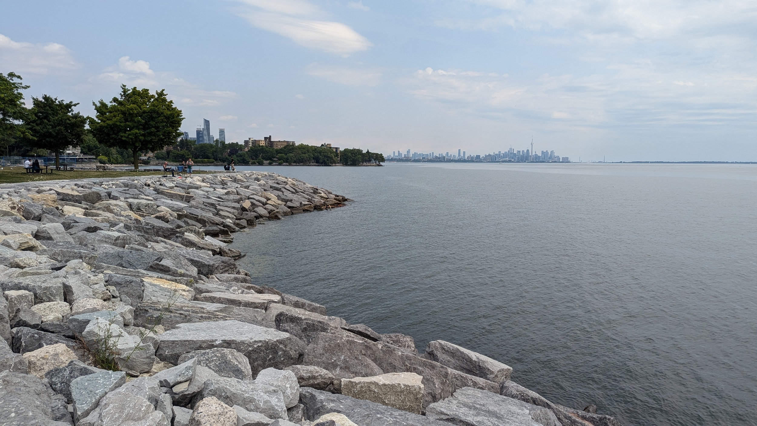
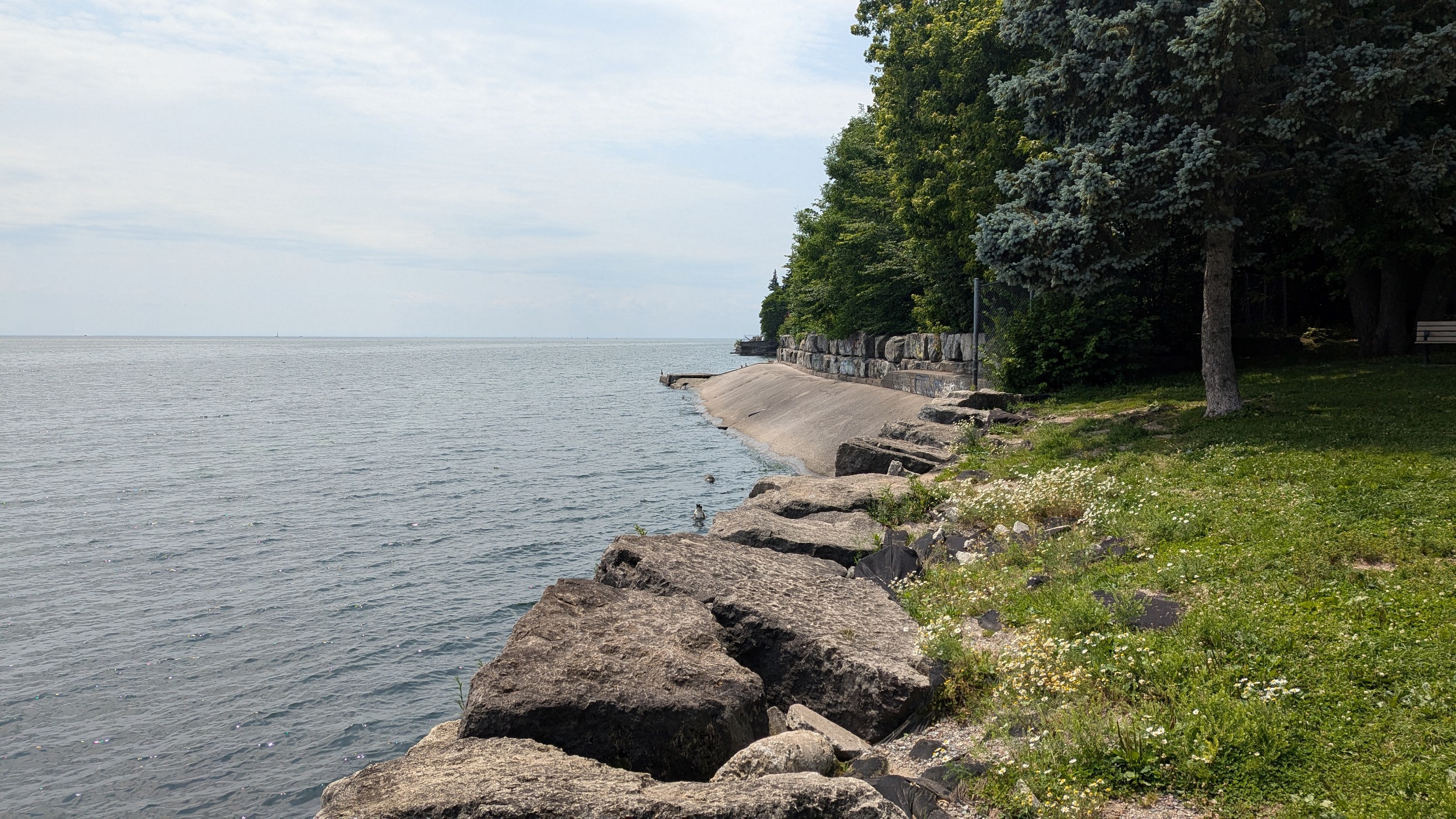
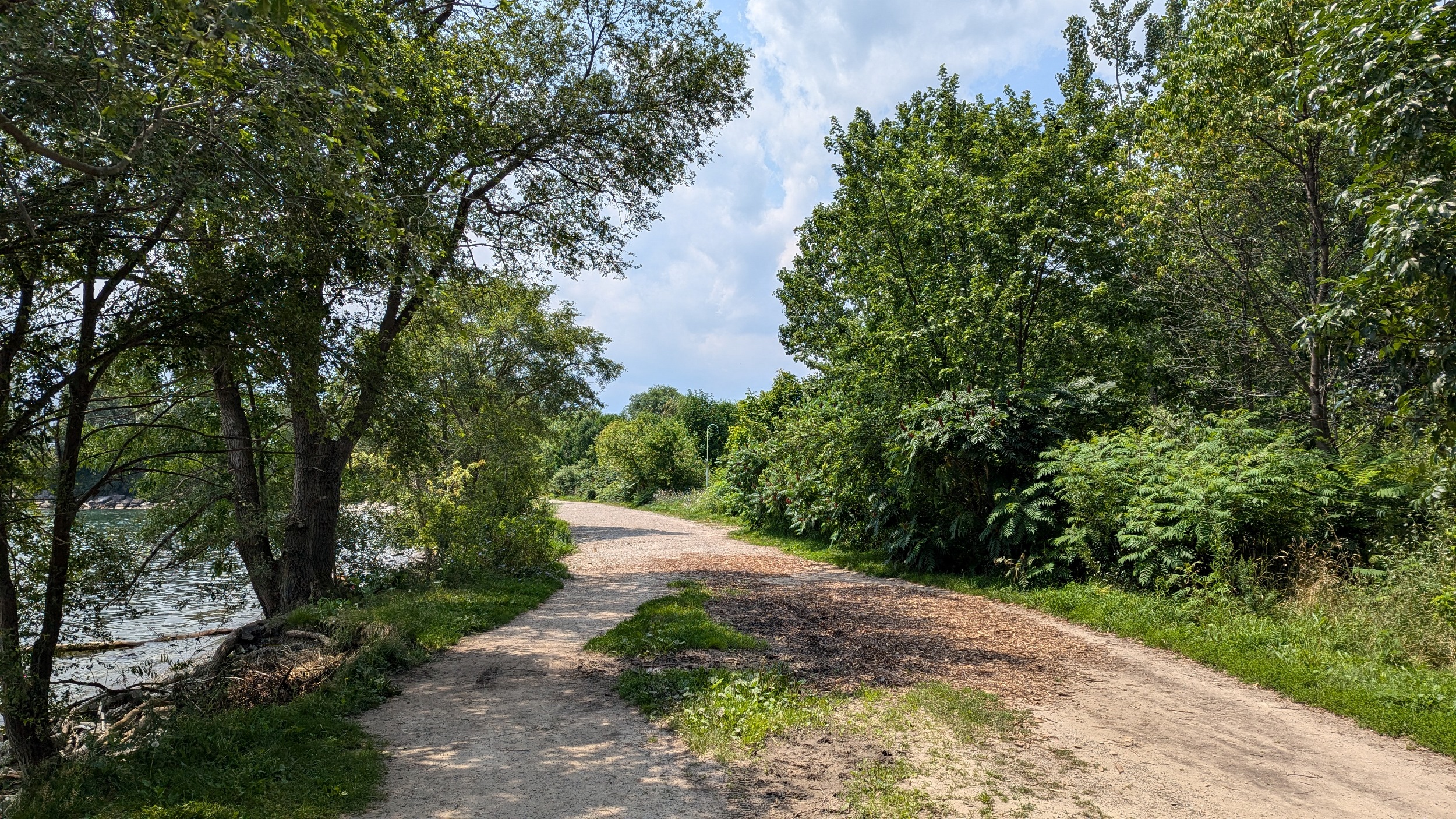
Col. Smith Park. This is a significant lakefill project that’s created a large park and peninsula south of some waterworks buildings and Humber College. The ecosystem here has had many years to grow and mature. Very wide gravel paths and great views down the lake shore. You go around the east end of the peninsula. Then it’s out of the park and back onto the streets.

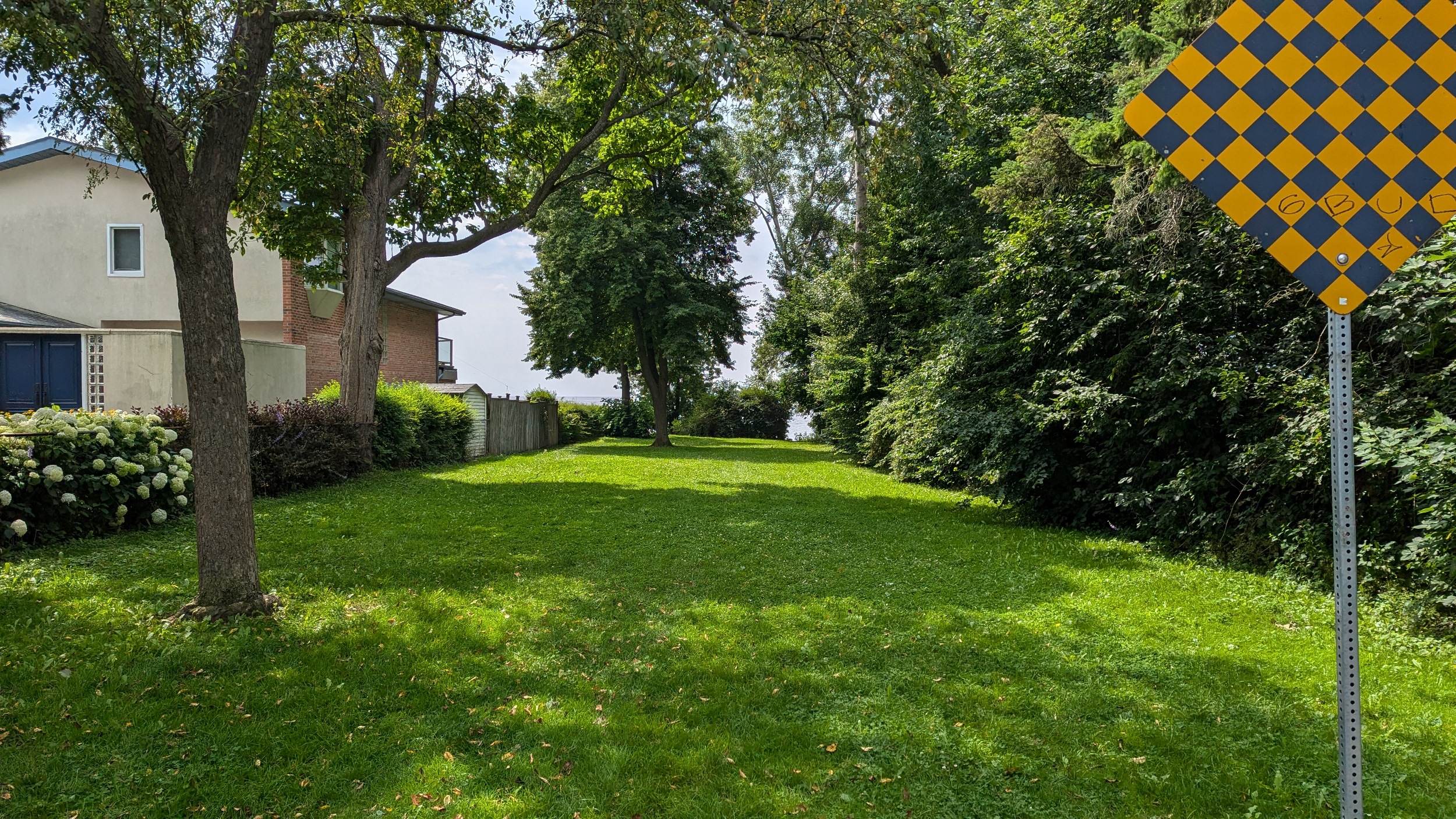
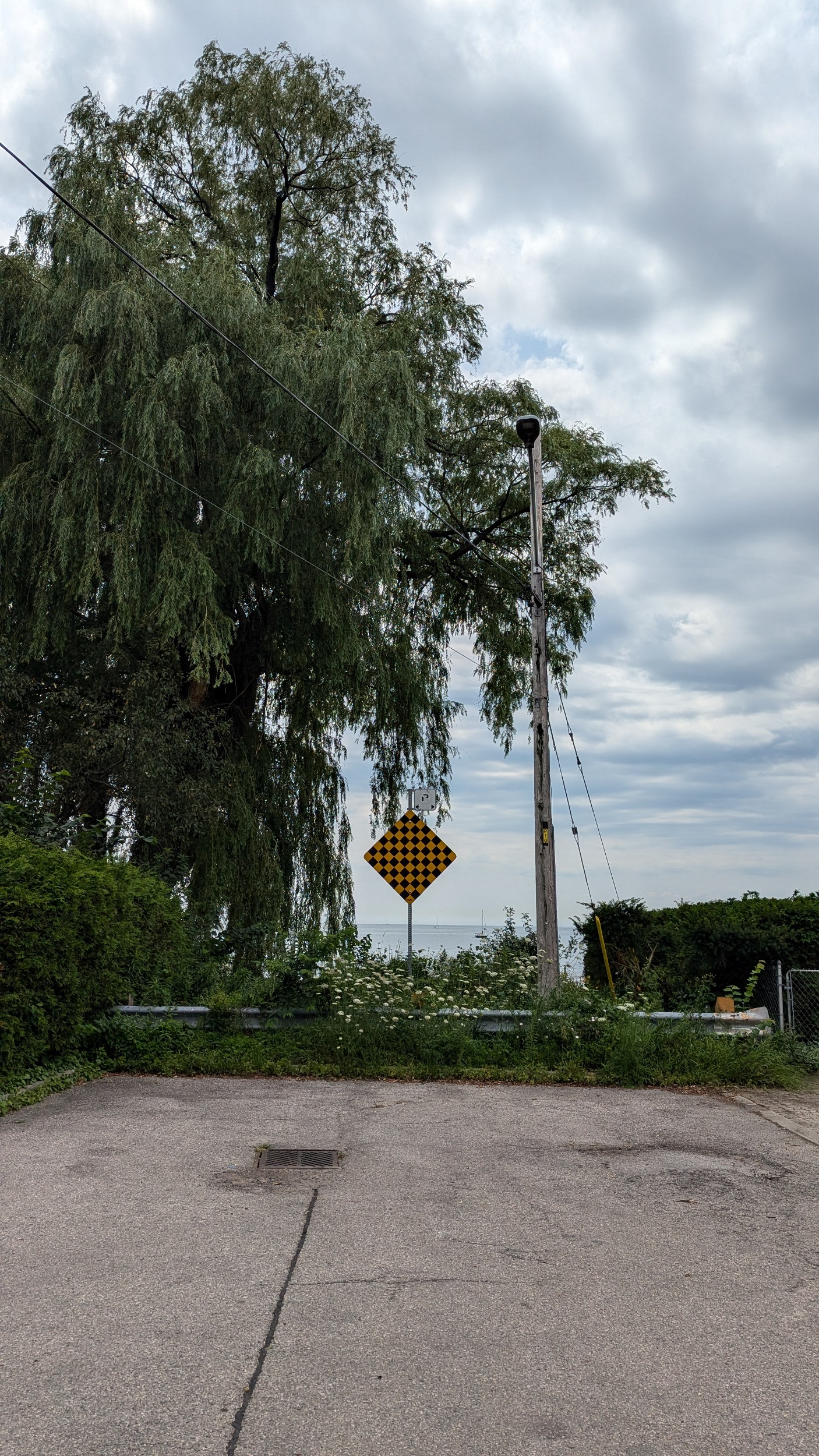
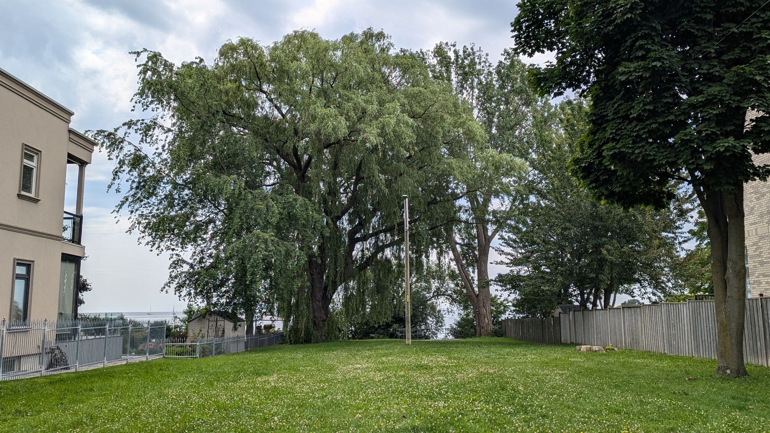
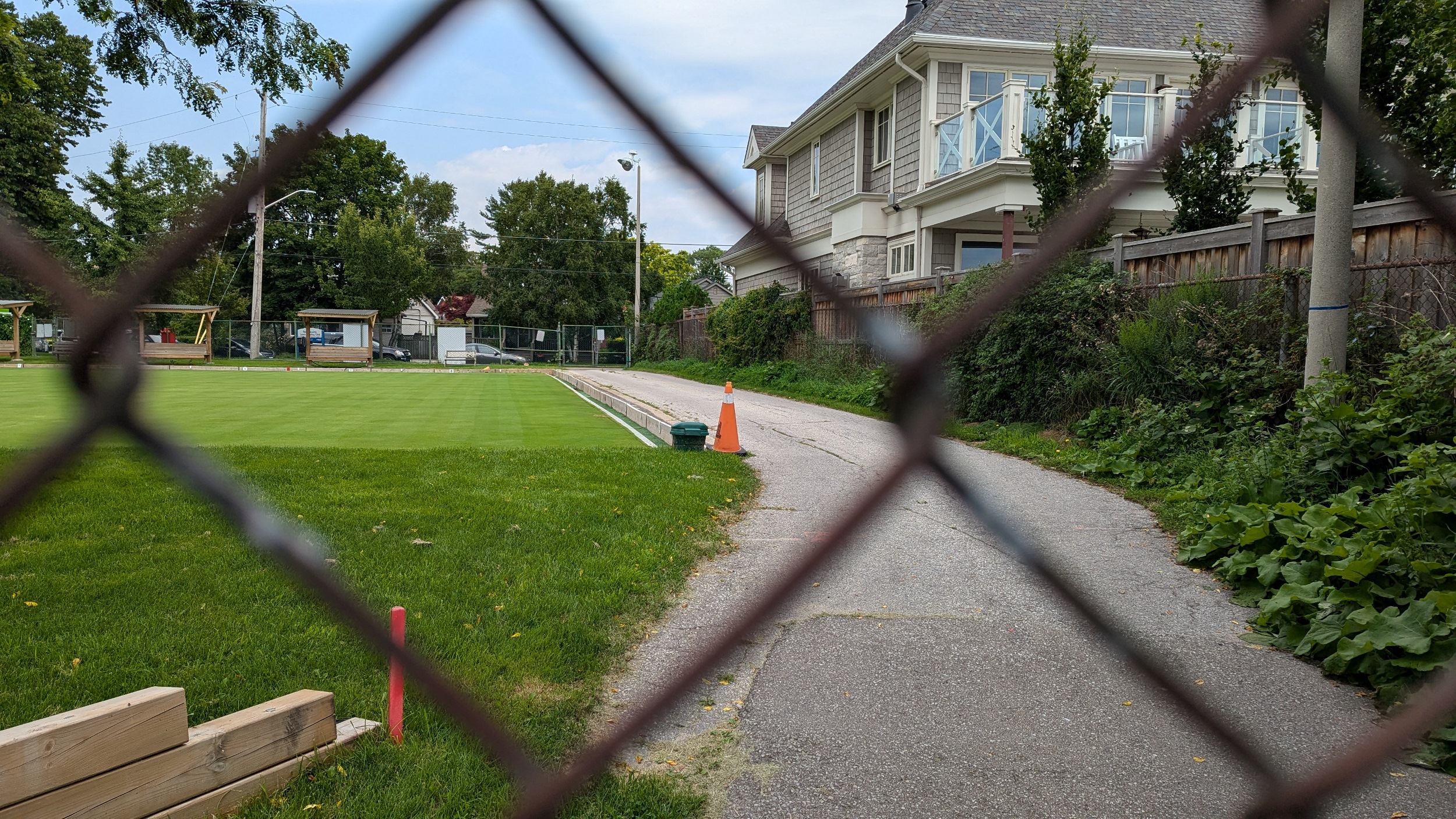
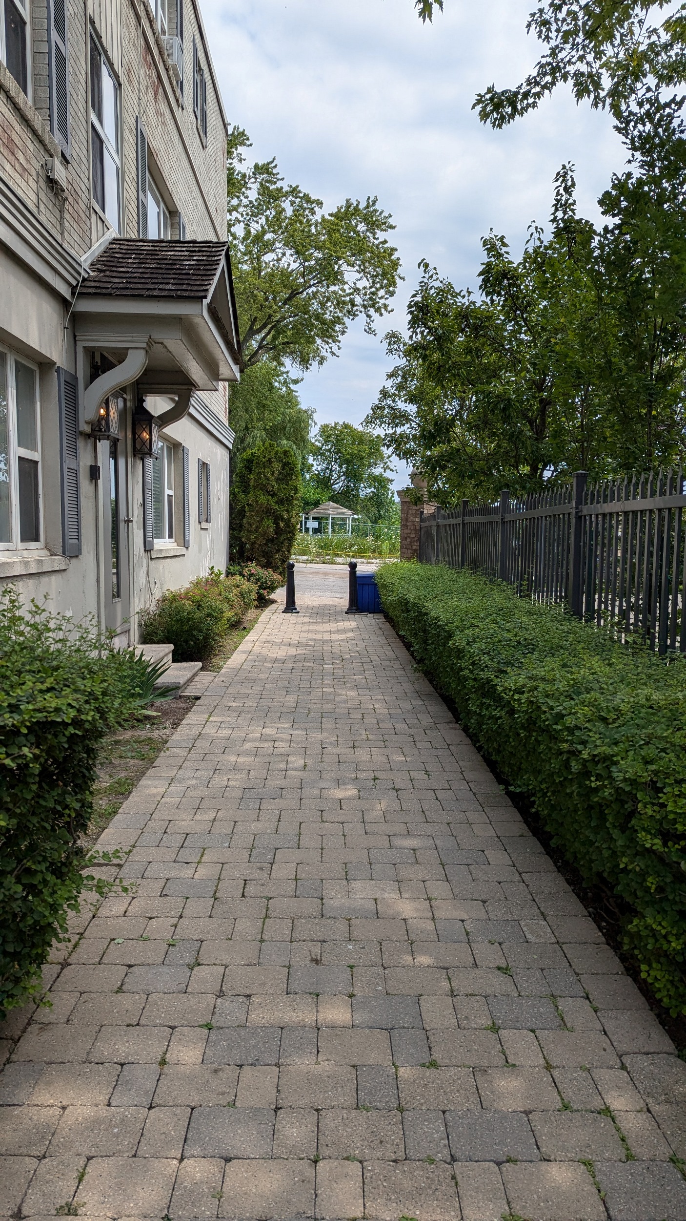
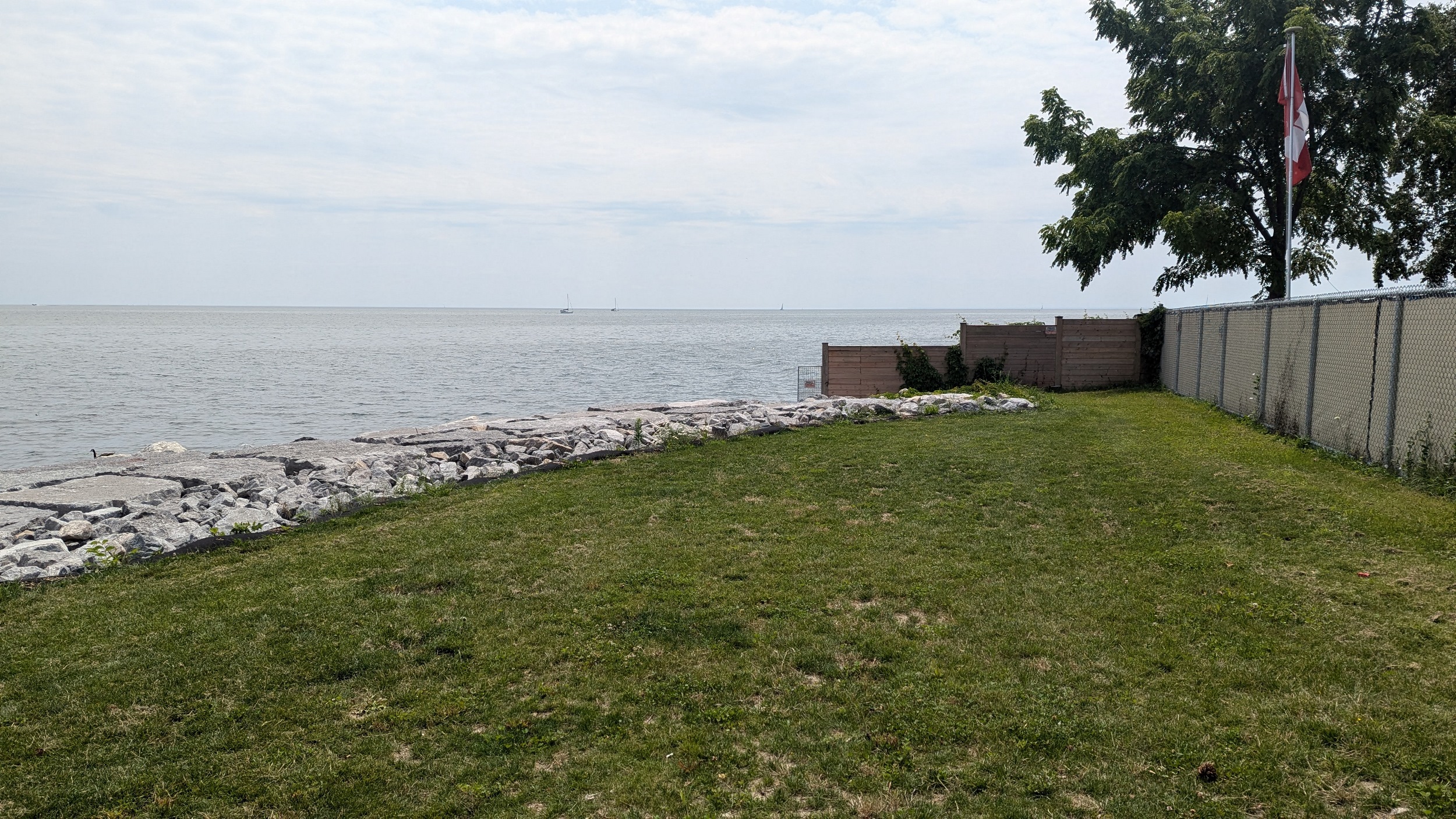
A couple more street parkettes, and then I’m re-triggered by the New Toronto Lawn Bowling Club. This city facility is next to Rotary Peace Park, but the driveway to the east end of the park is chained off, making that area longer to get to. This should be re-fenced for public access.
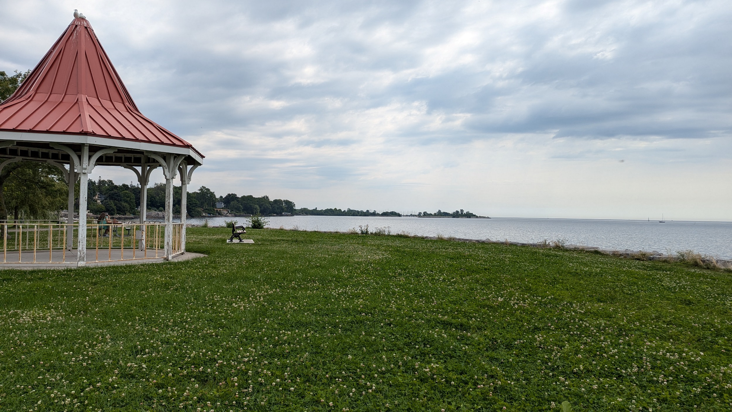
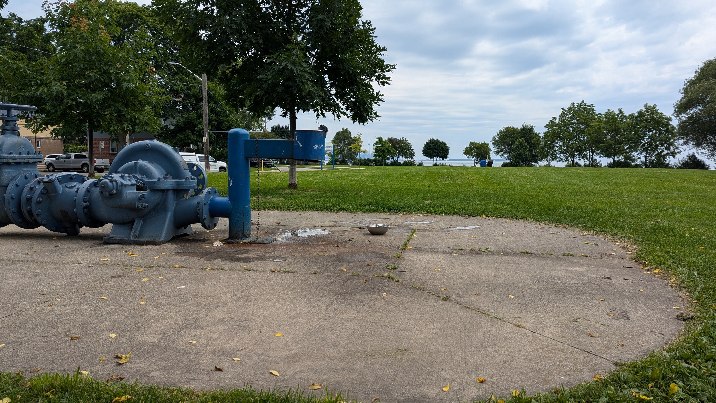
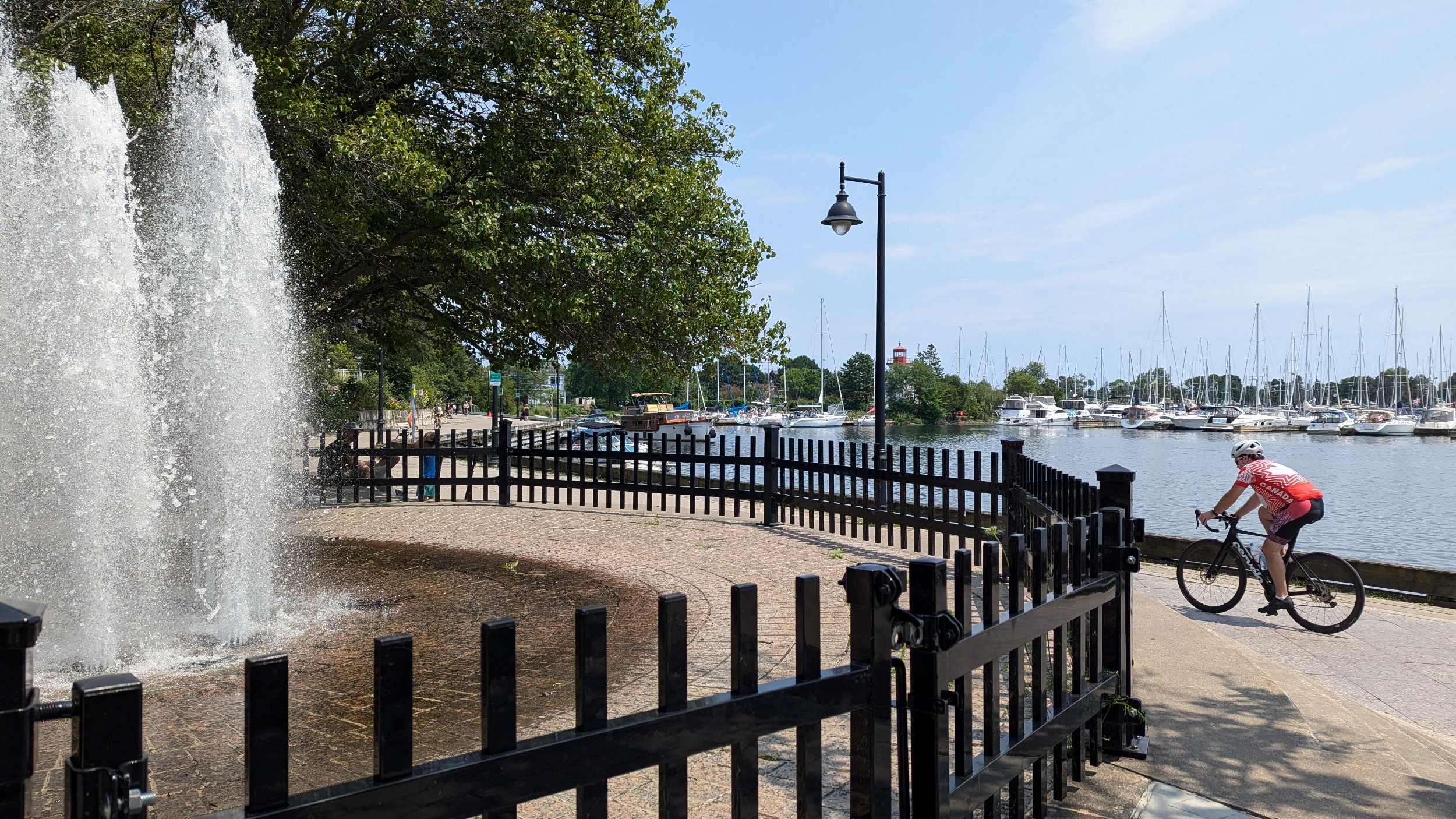
Two small-medium parks and a roadway parkette. First is Cliff Lumsden Park, which has the craziest water fountain you’ve ever seen. Fourth Street Parkette is only seven doors down. Then, only one house and an apartment separates that from Prince of Wales Park

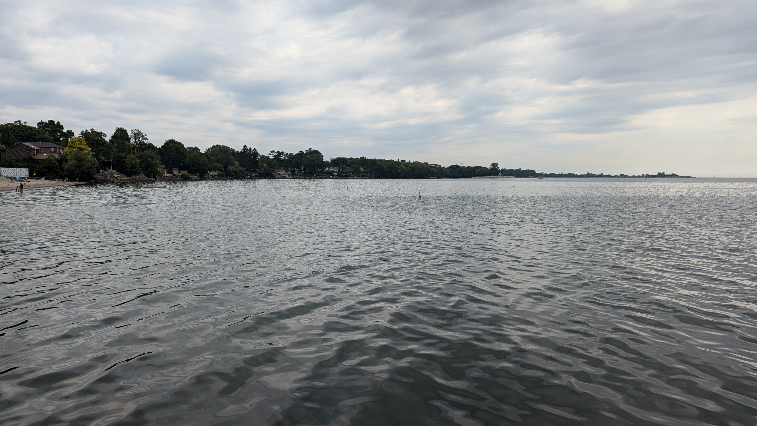
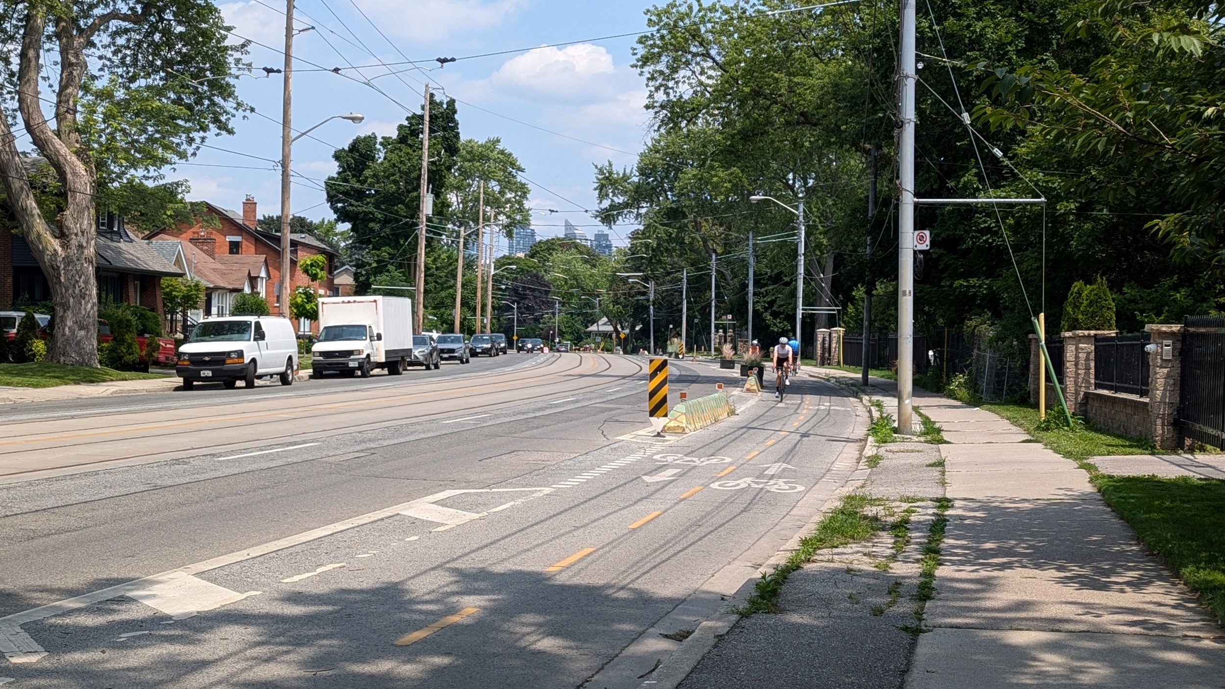
Three more roadway parkettes is all you get along Toronto’s shoreline, between Second Street and Douglas Boulevard. They’re nice breaks, but it’s a long stretch of sidewalk, bike lane and streetcar tracks sandwiched onto Lakeshore Boulevard.
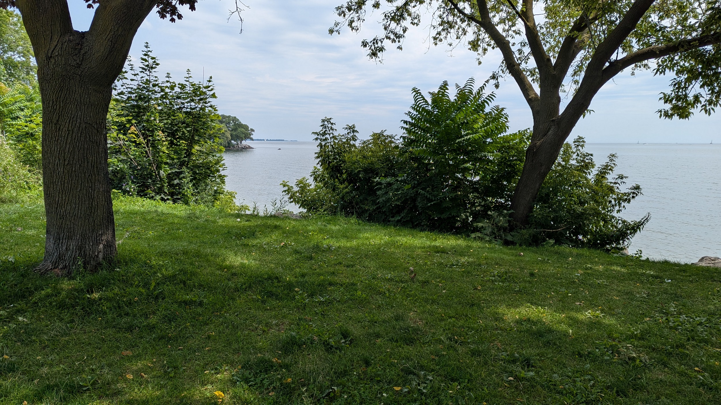

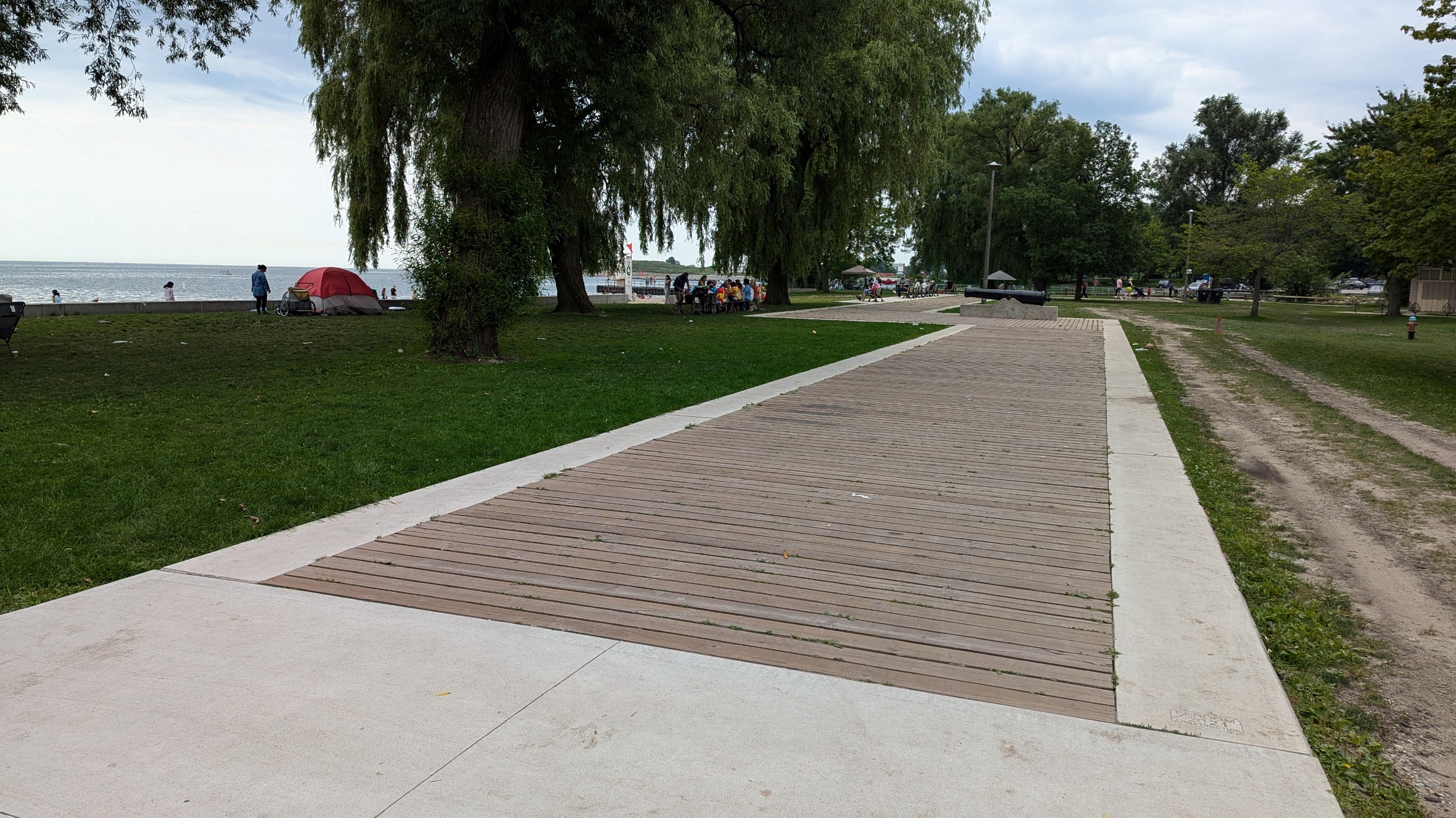
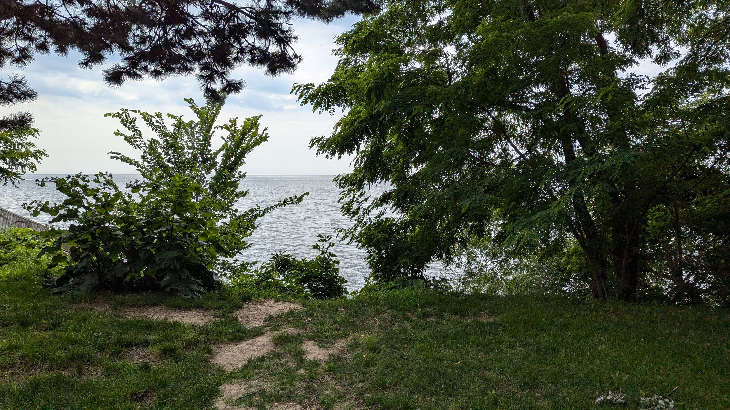
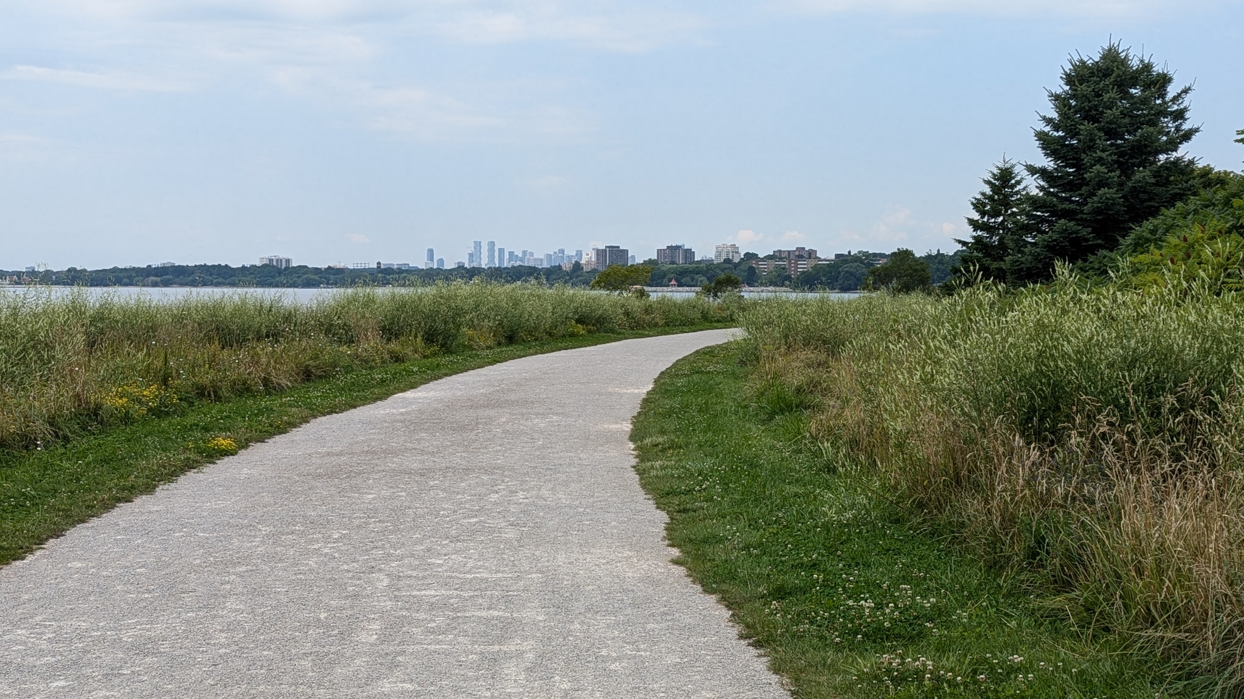
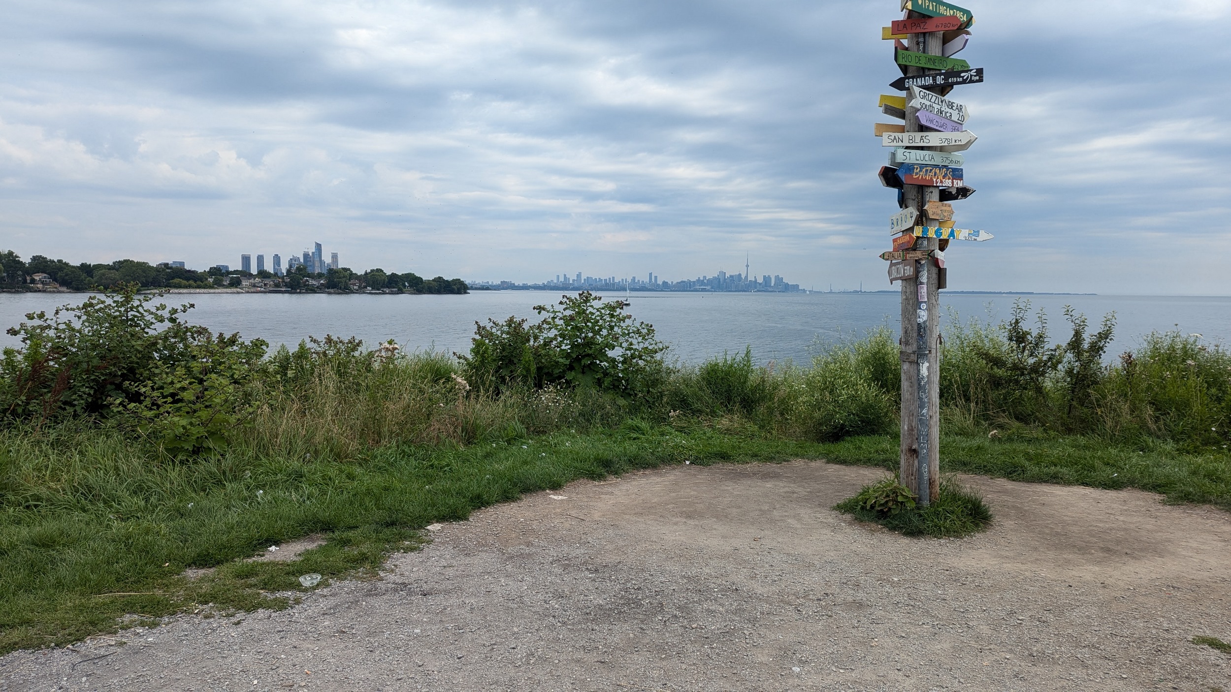
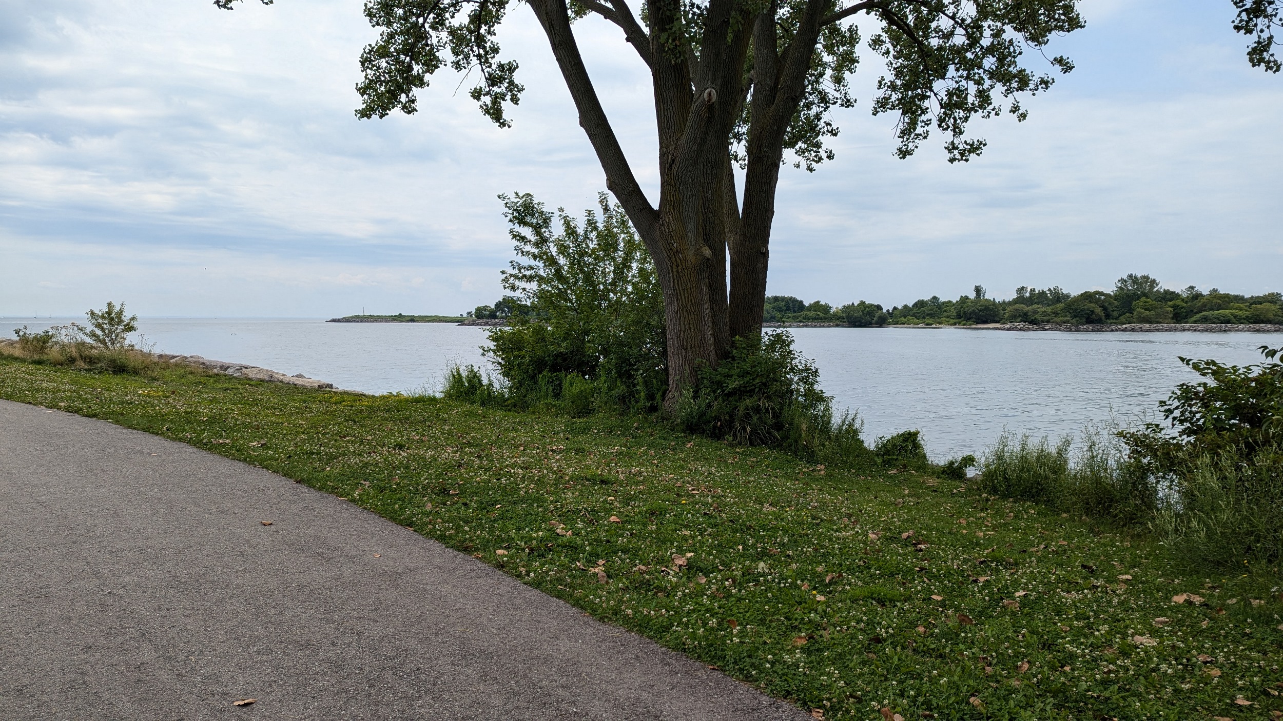
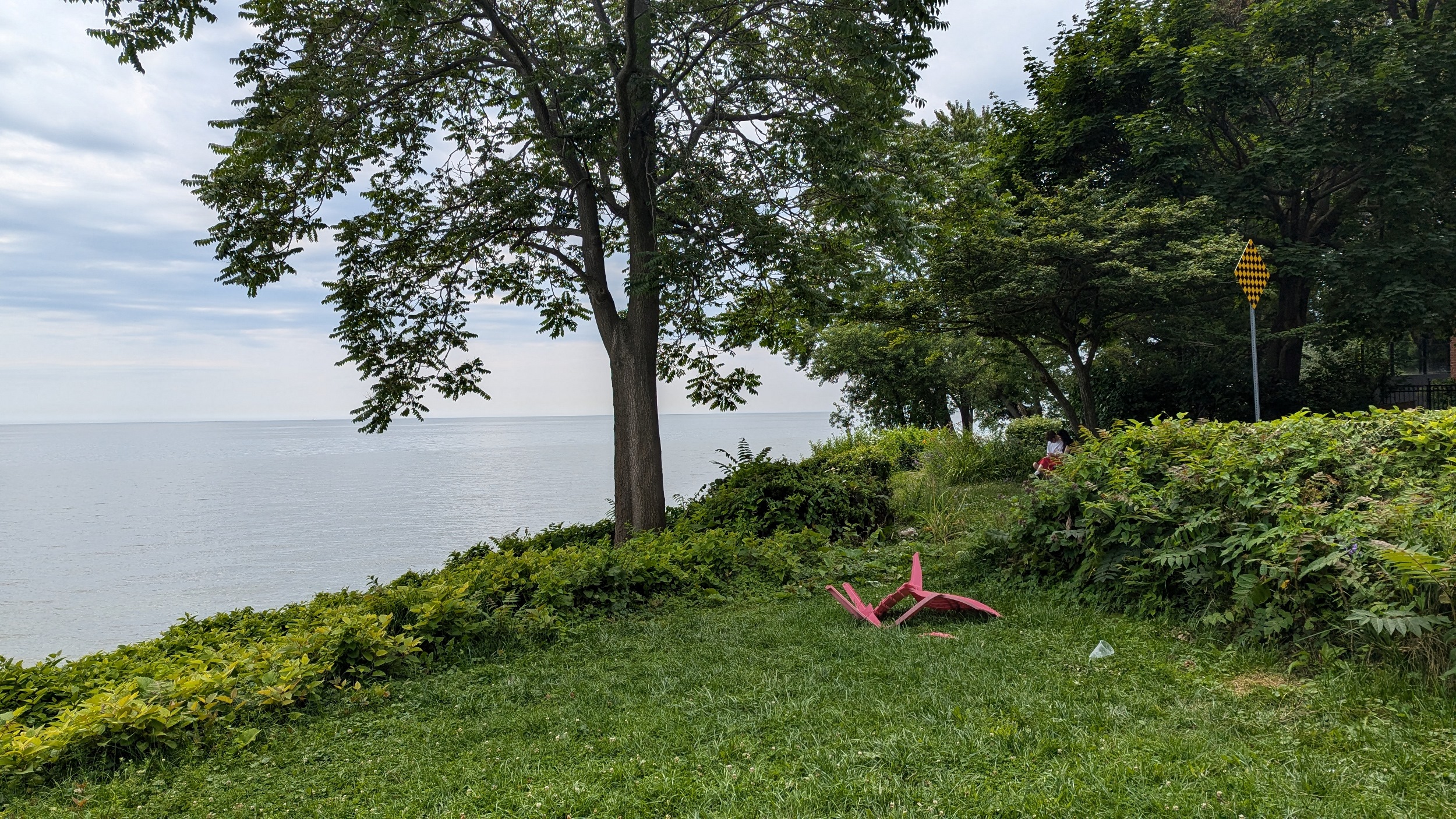
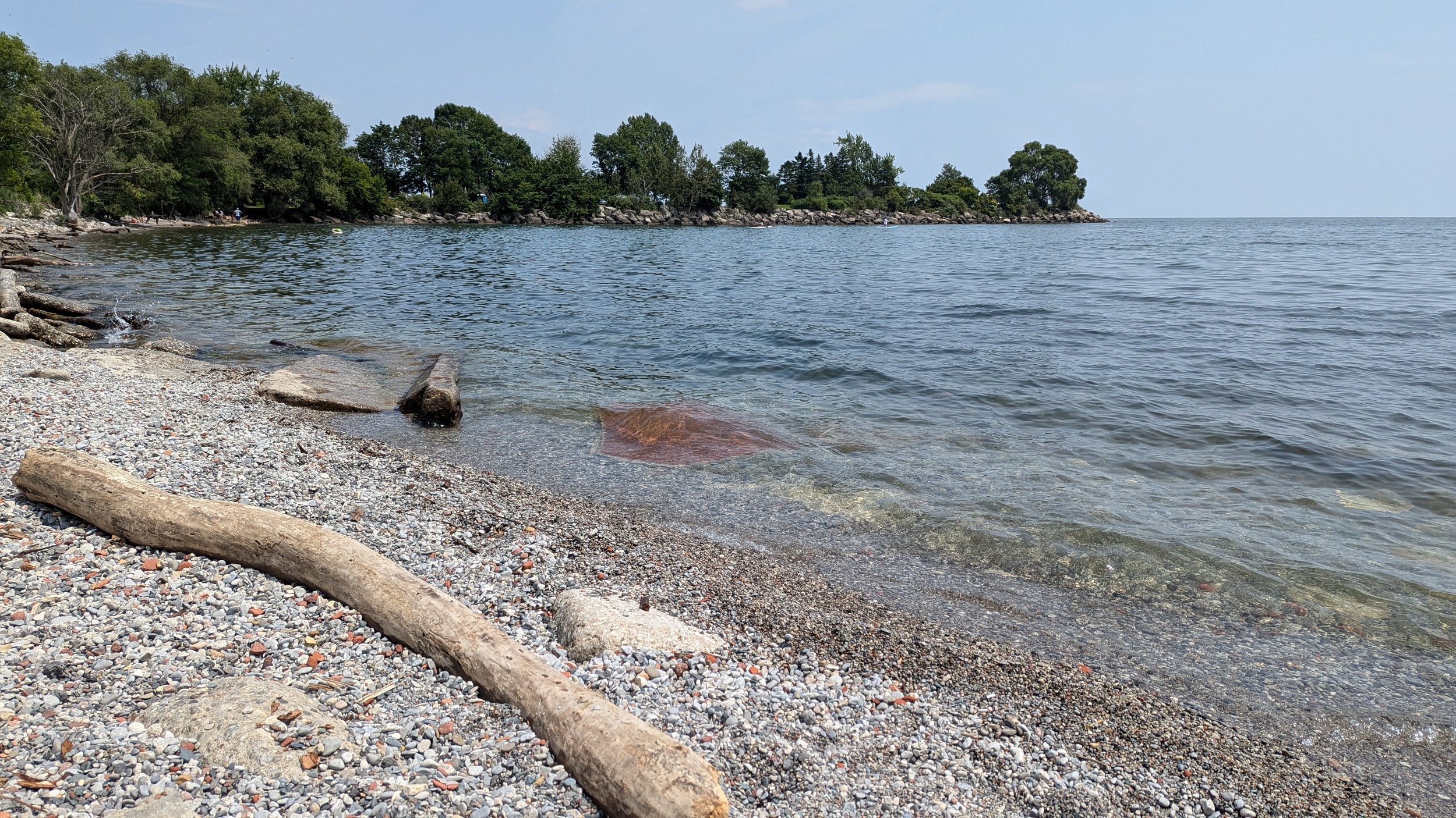
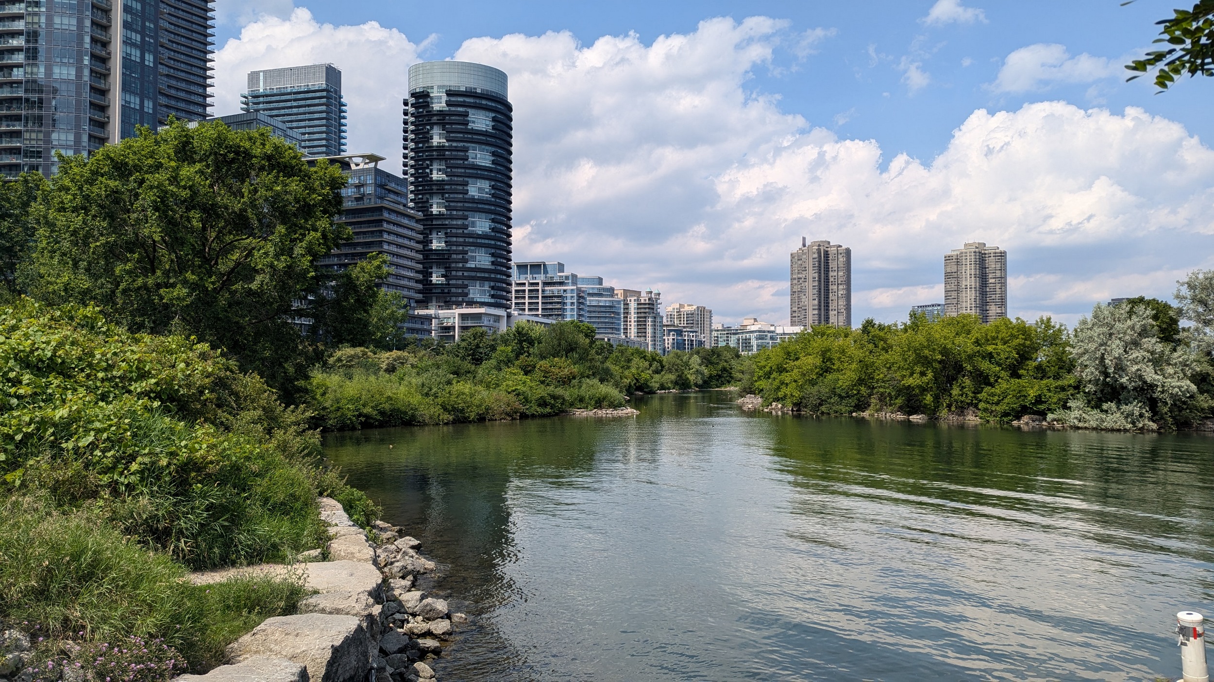
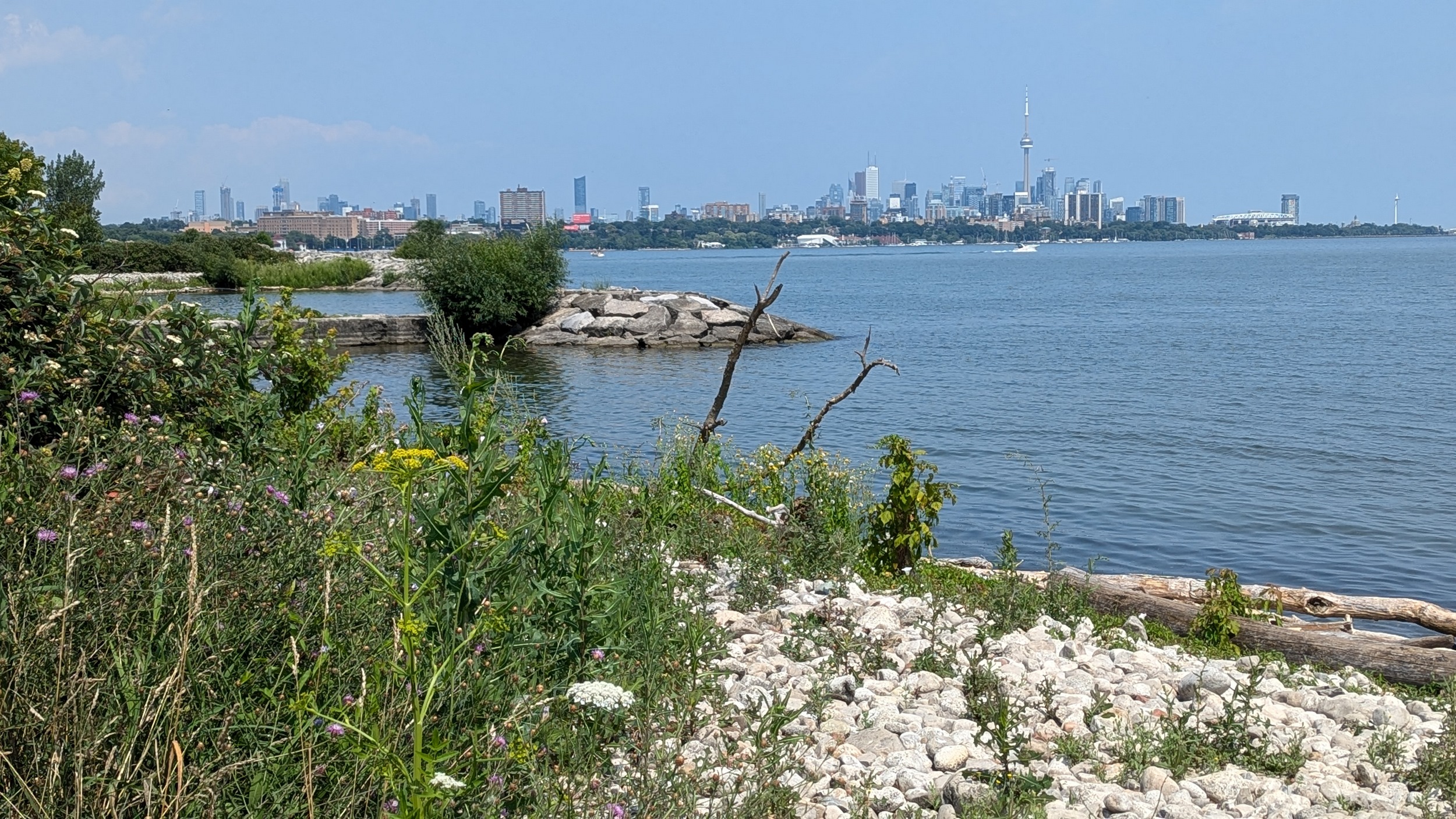
Norris Crescent Parkette marks the west end of mostly uninterrupted parkland through to Scarborough. Armourstone bulbs and a winding multiuse trail take you to Mimico Creek and the Humber Bay Shores neighbourhood.


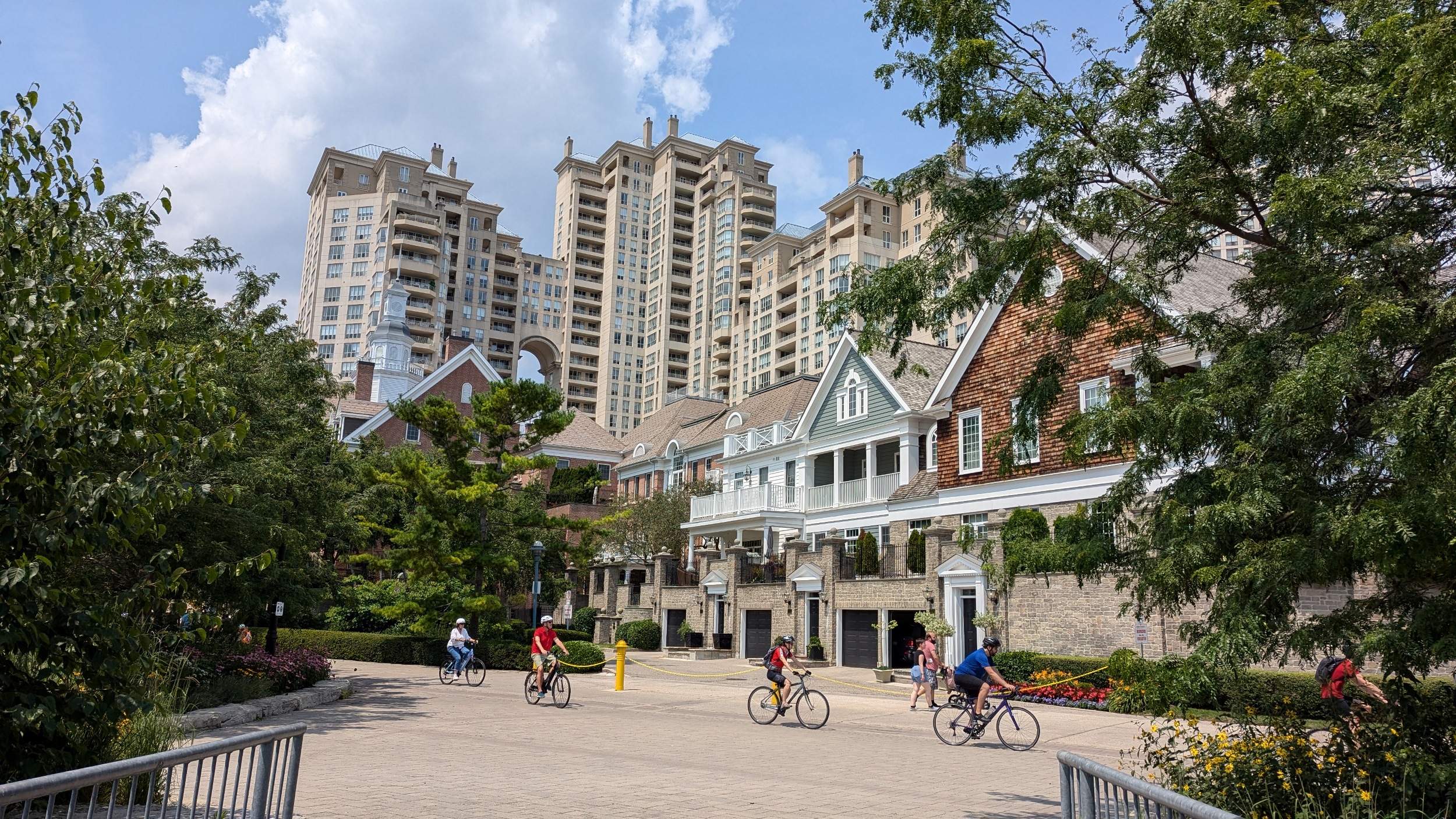
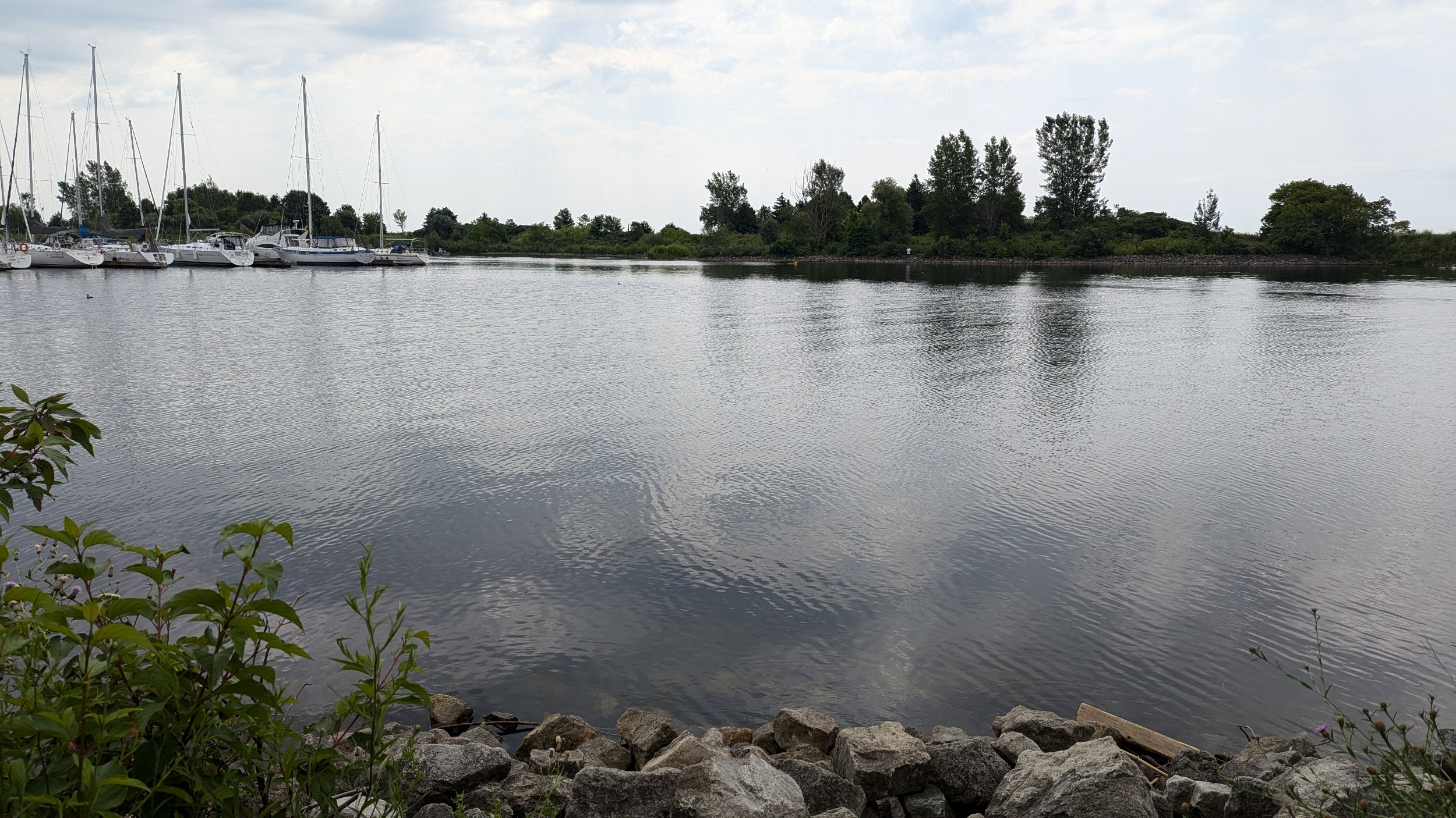
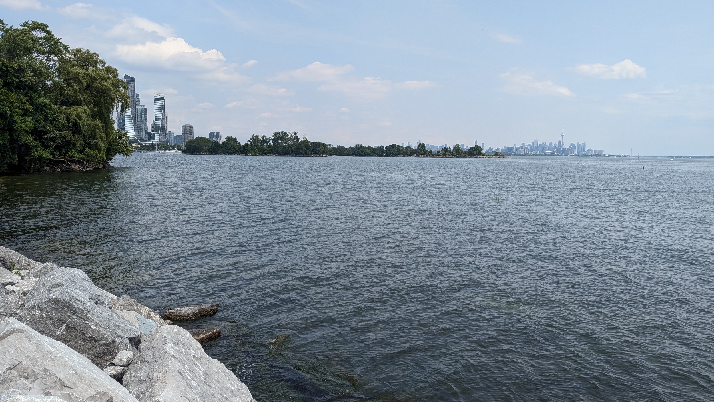
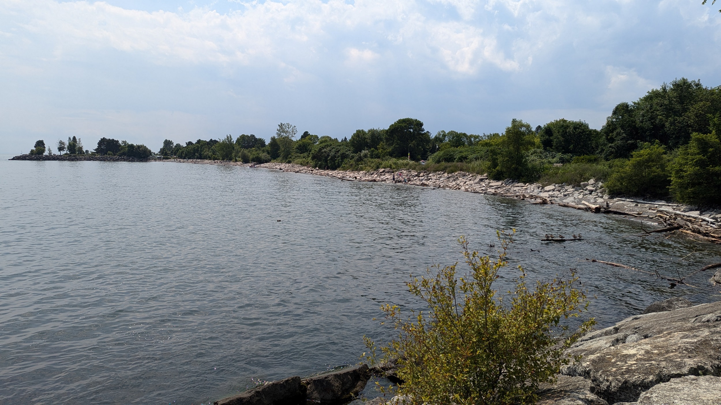
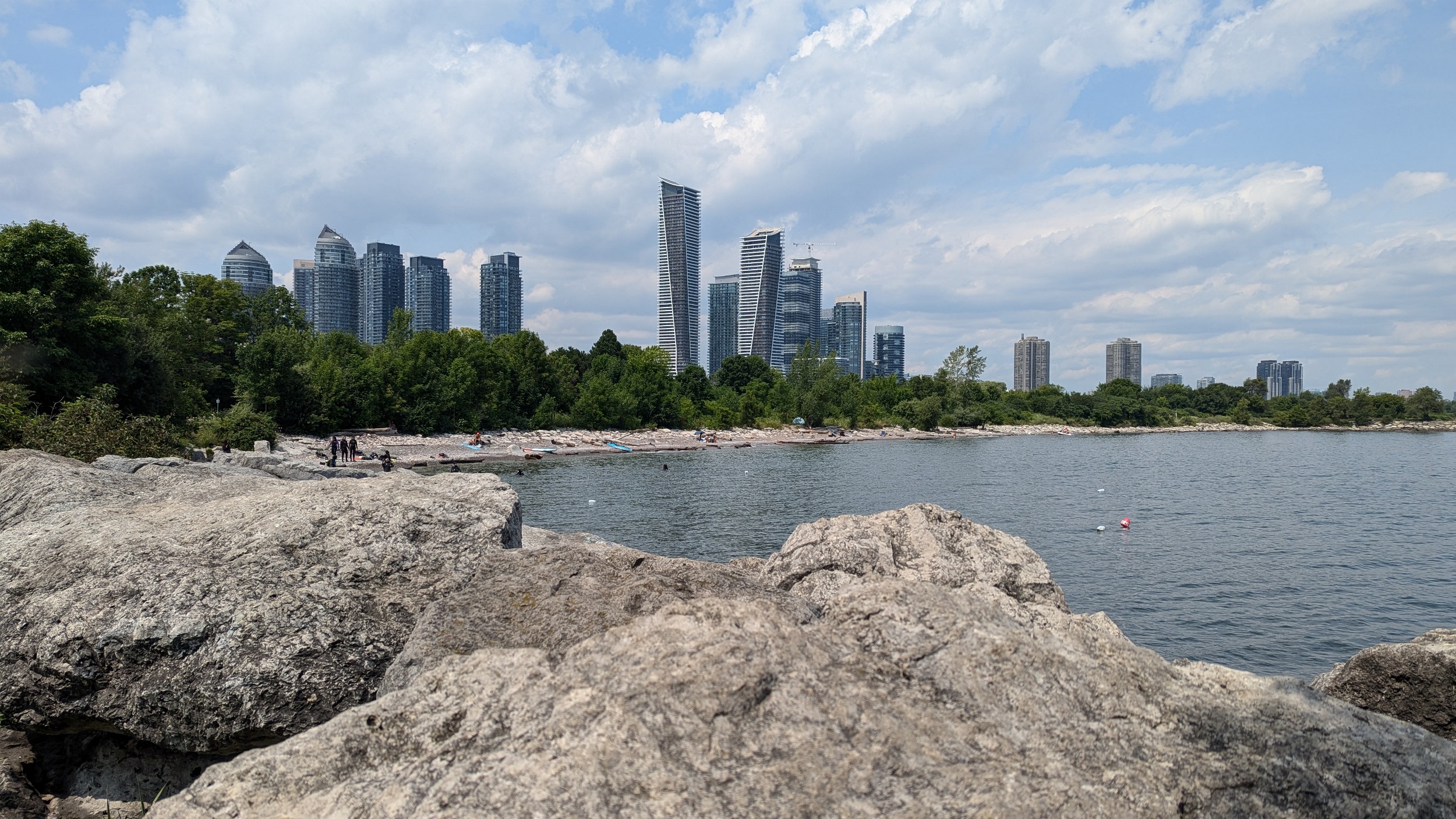
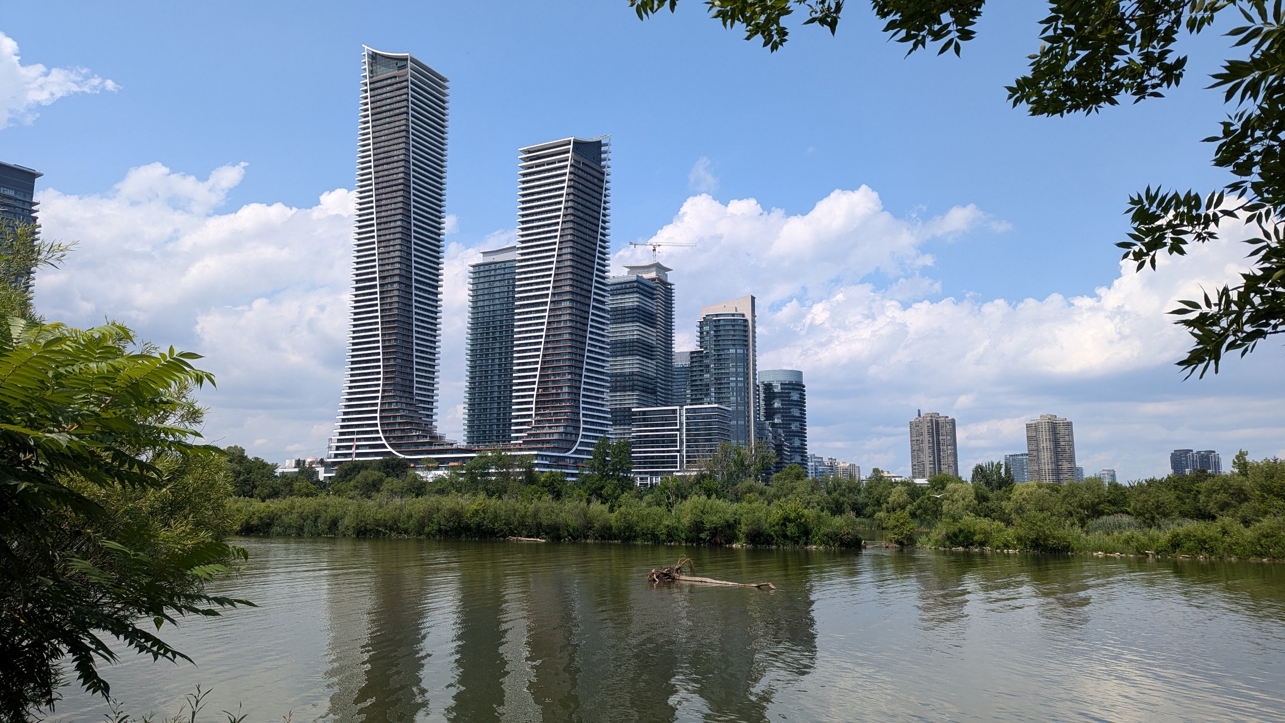
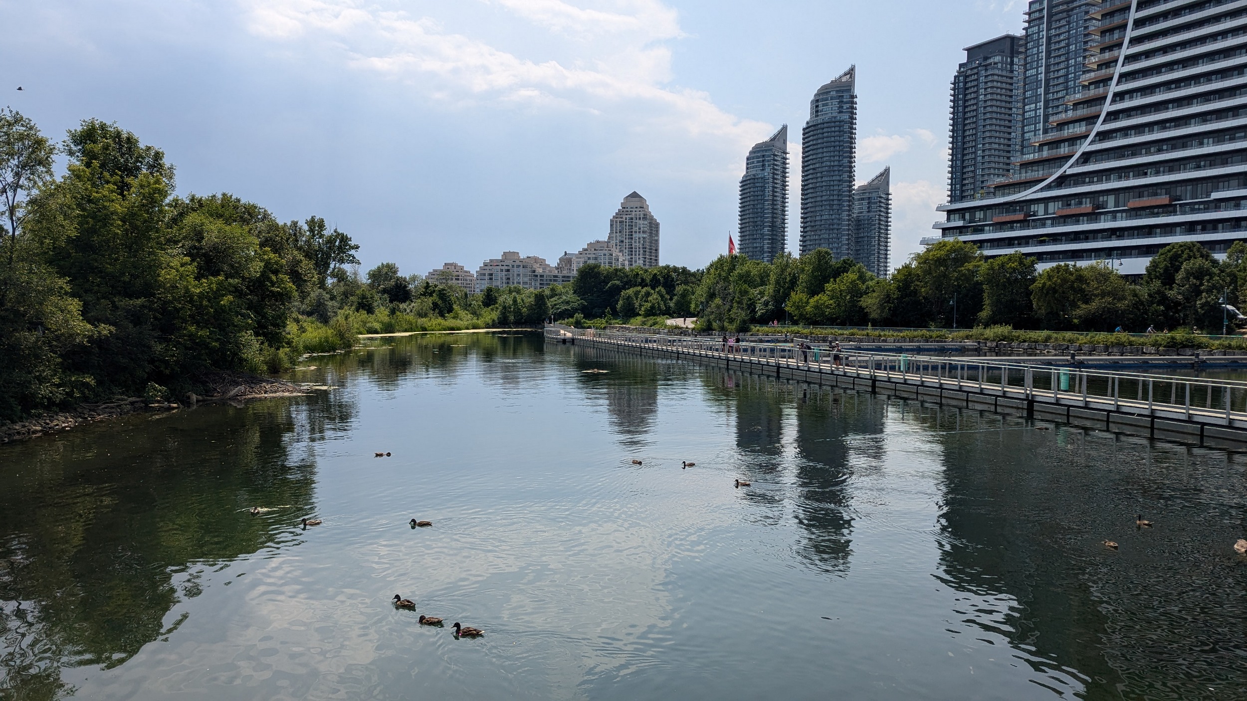
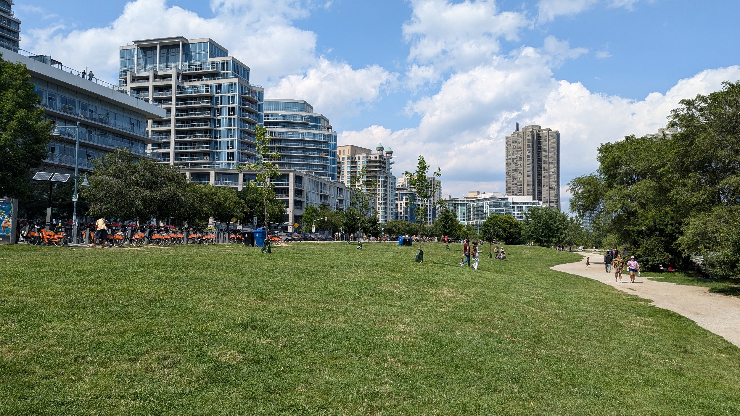
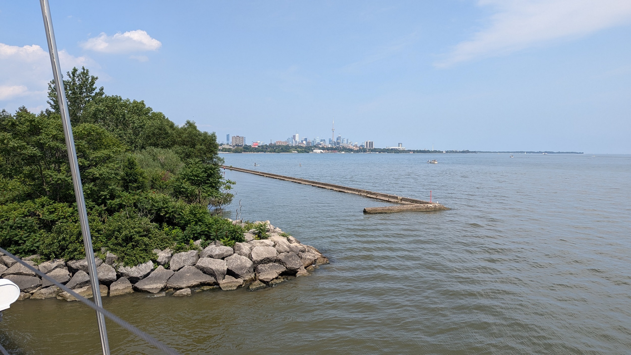
The west peninsula of Humber Bay Park. Part of it is taken up by a marina, but there’s lots of space for other uses: exercise, picnics, dog walking, fishing, even scuba lessons. As you come around the west peninsula and across Mimico Creek, it’s really hard not to make my documenting a bunch of money shots for Humber Bay Shores.


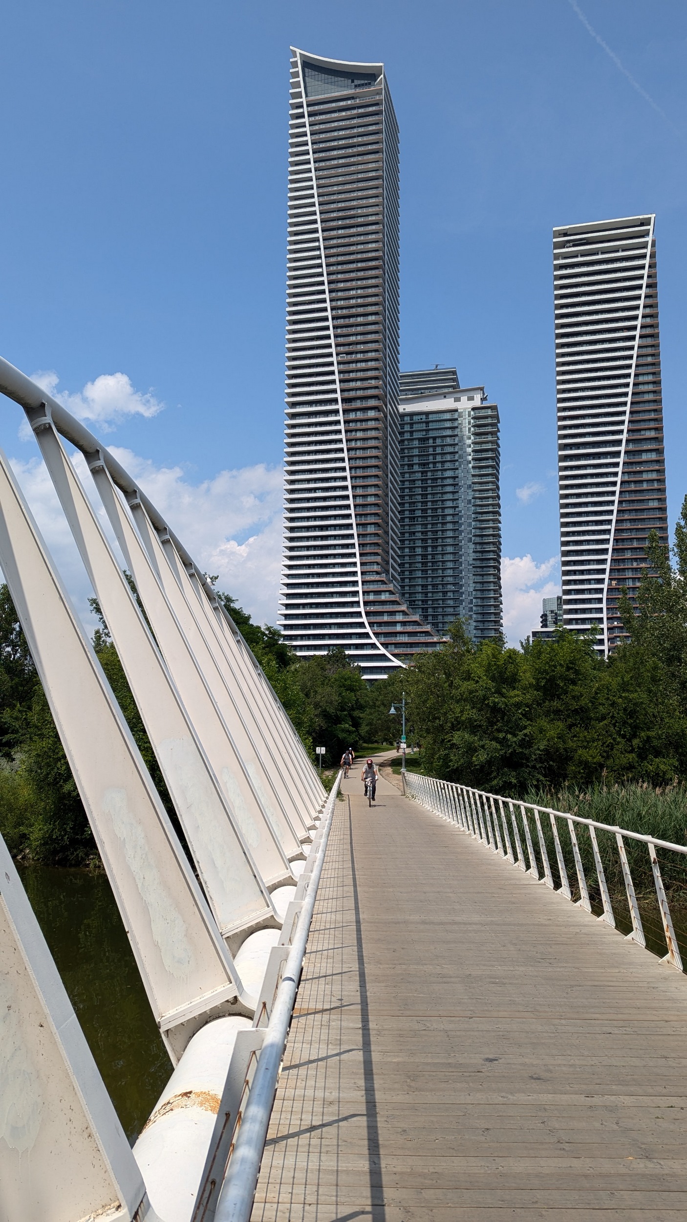
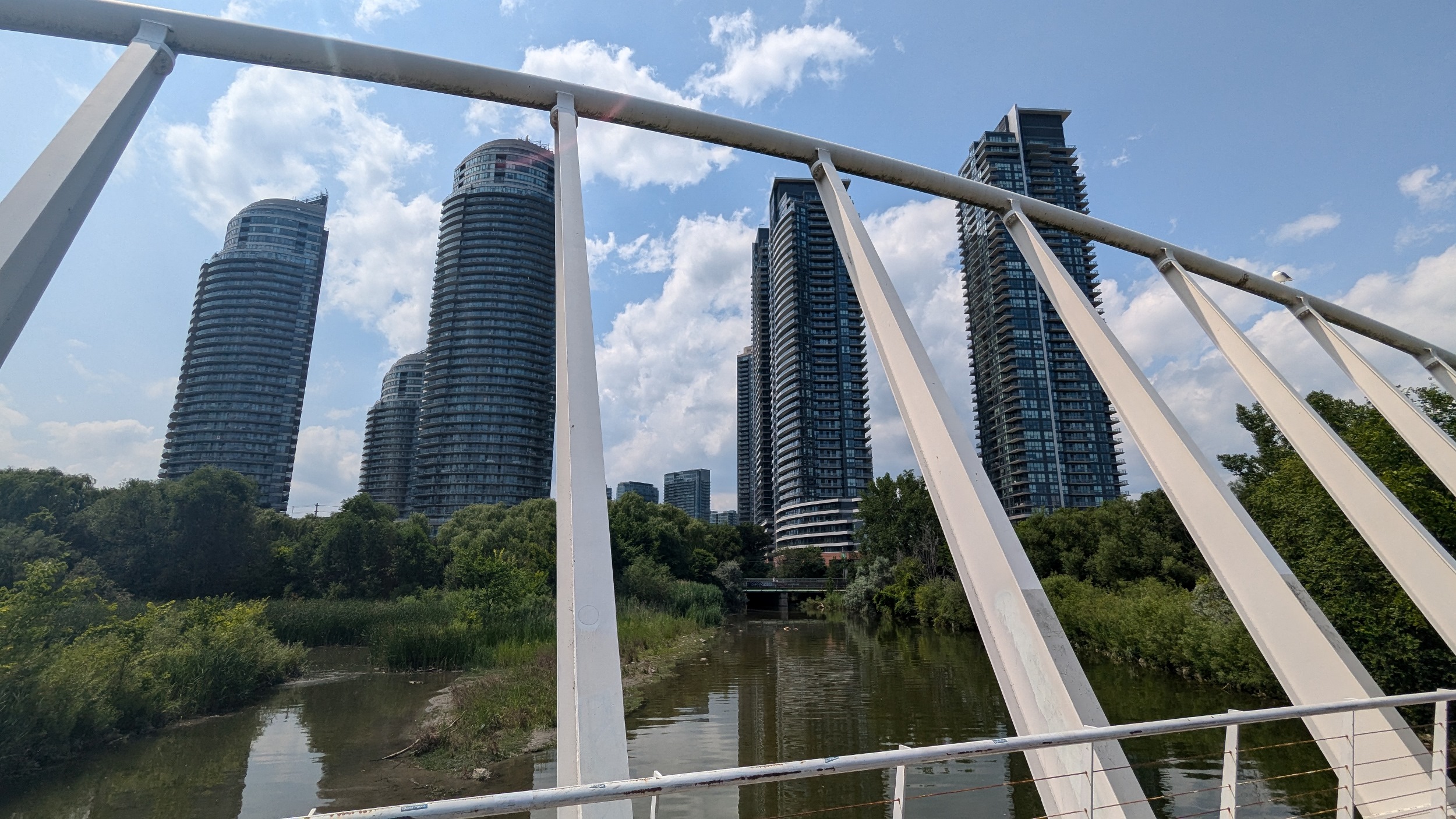
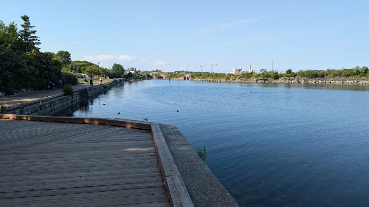
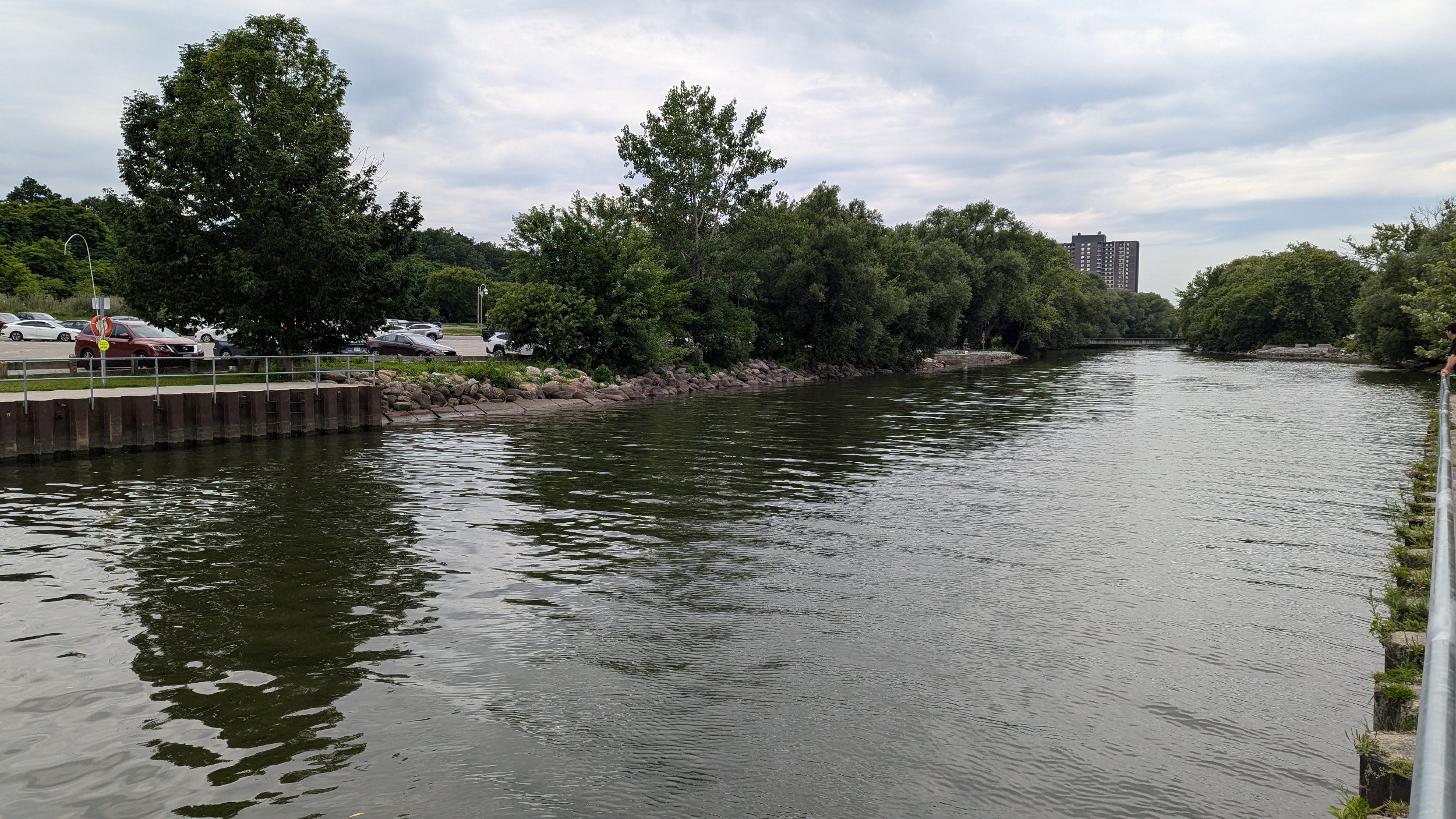
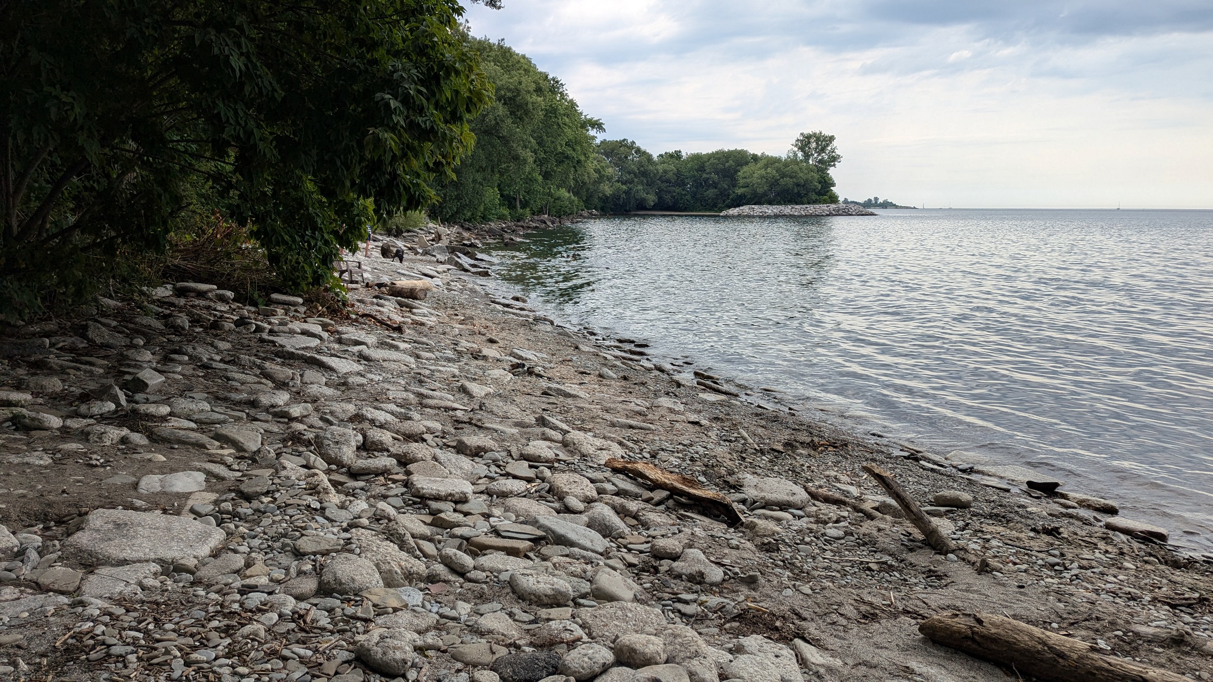
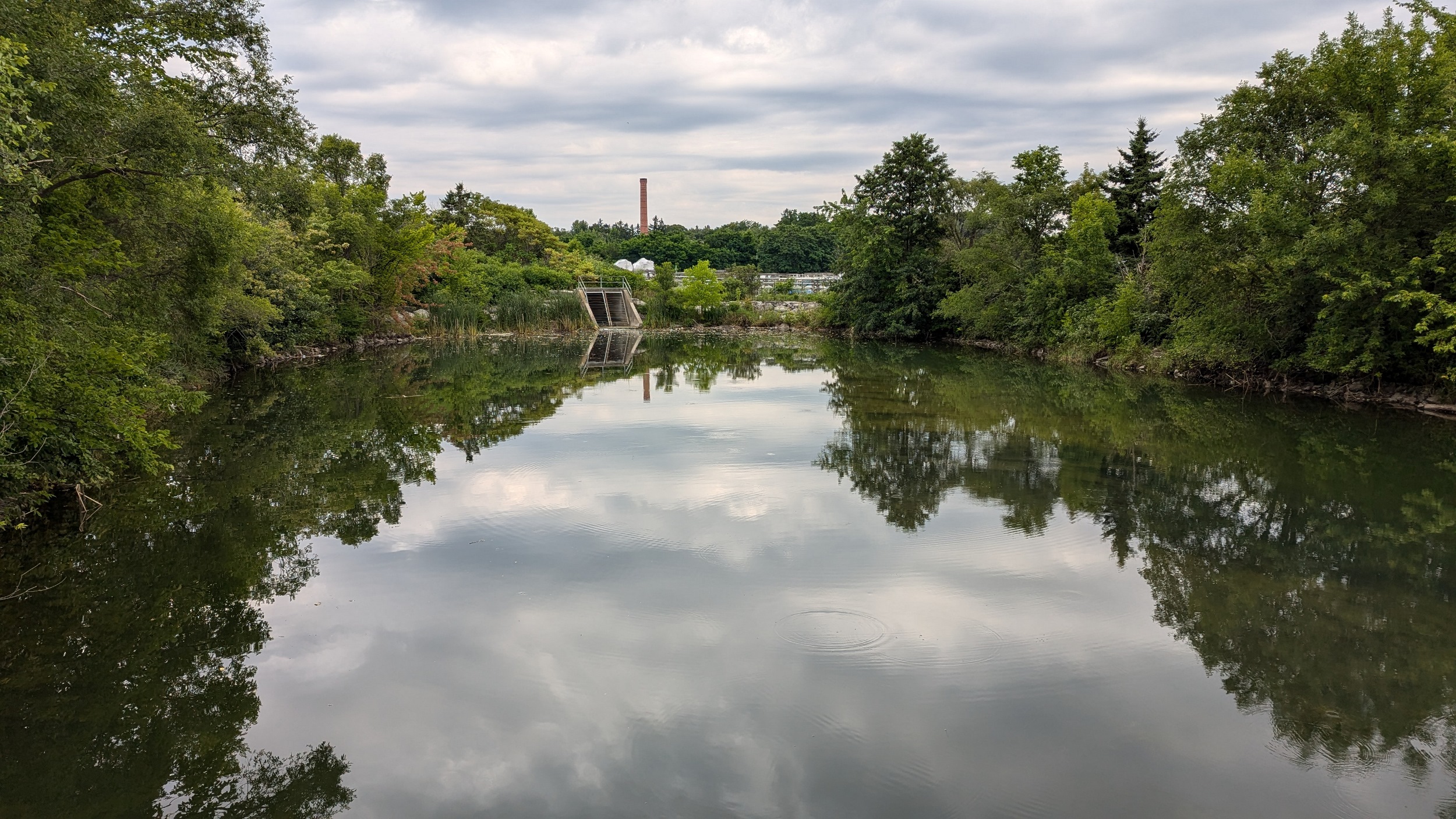
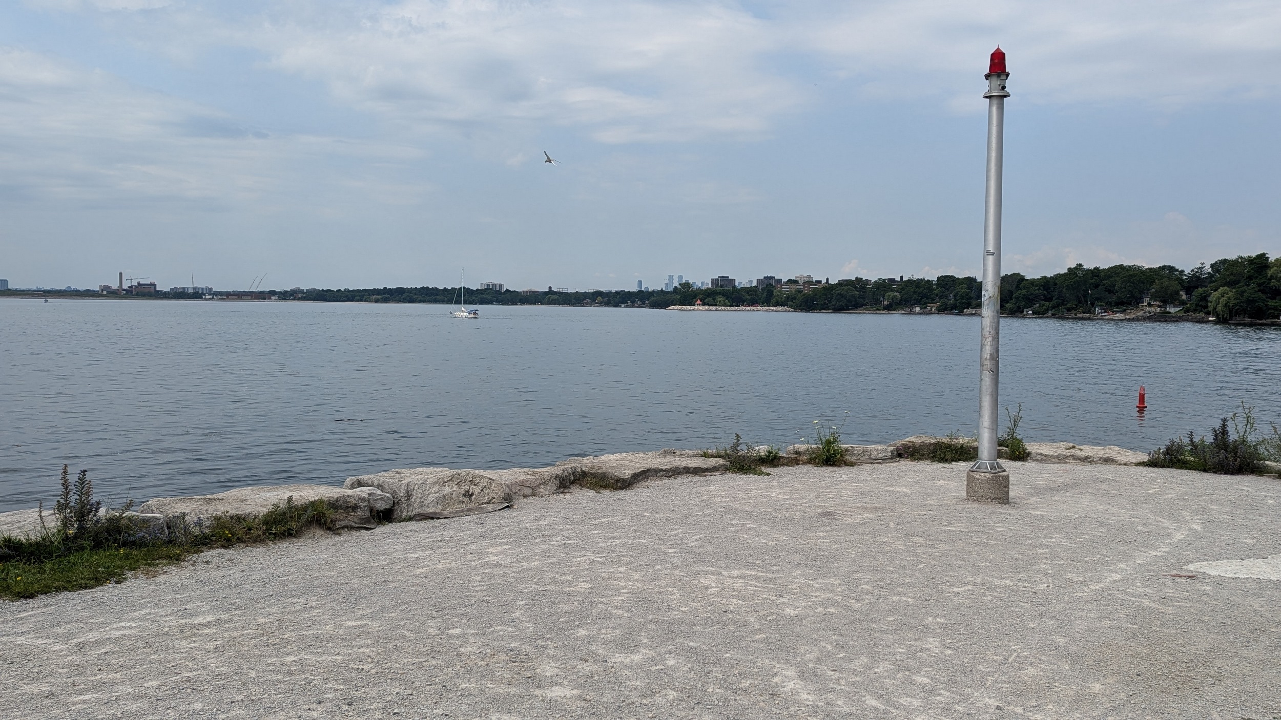
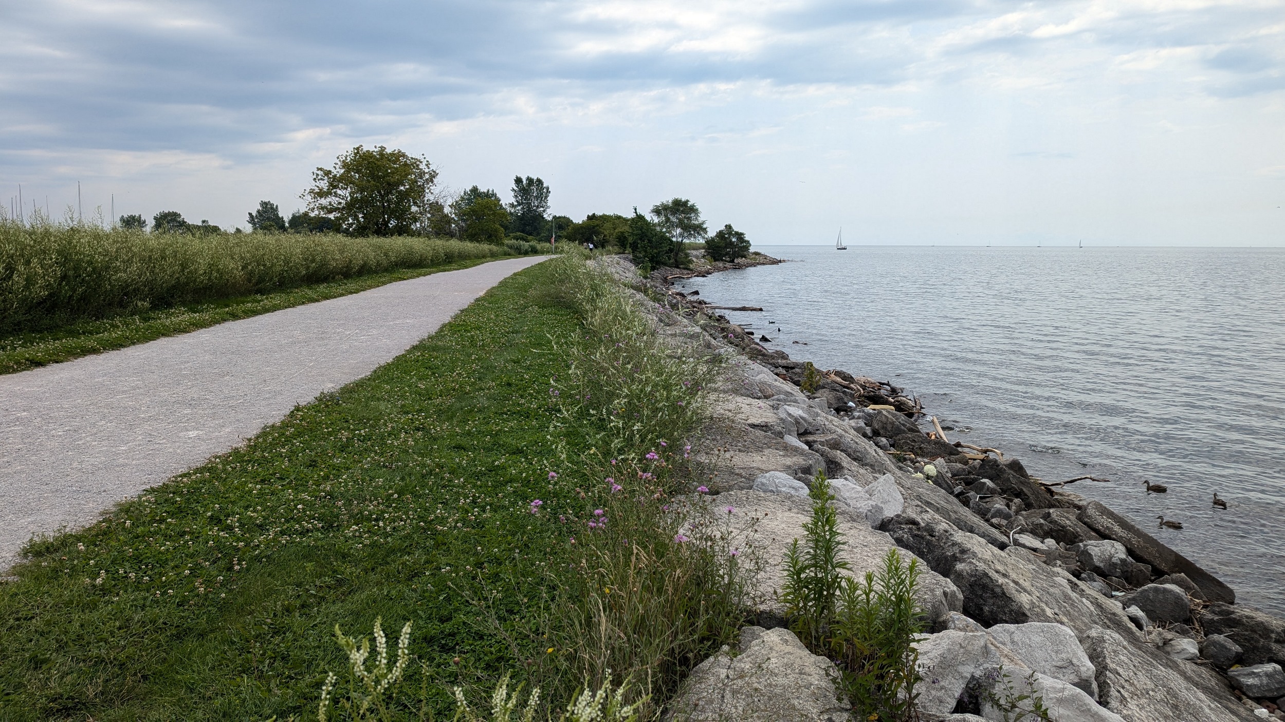
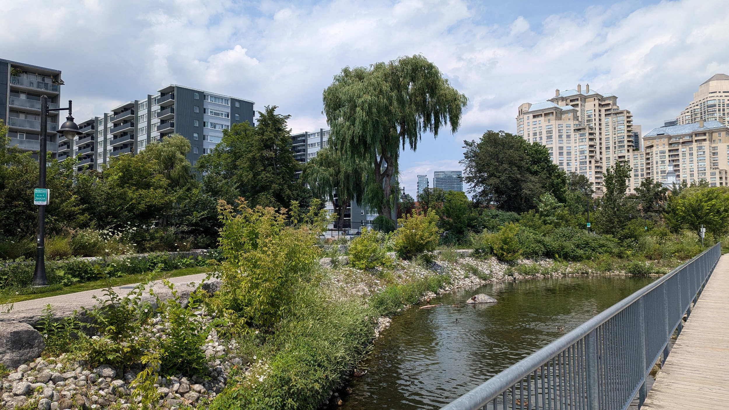
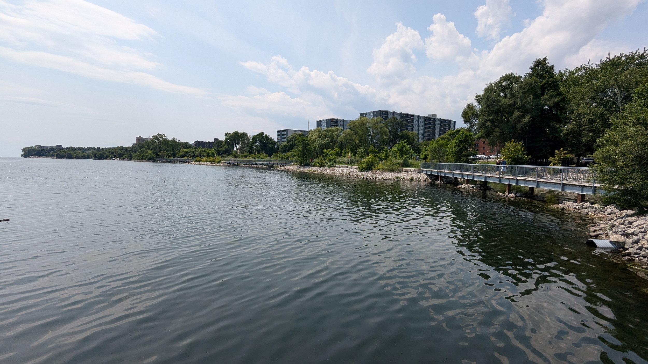
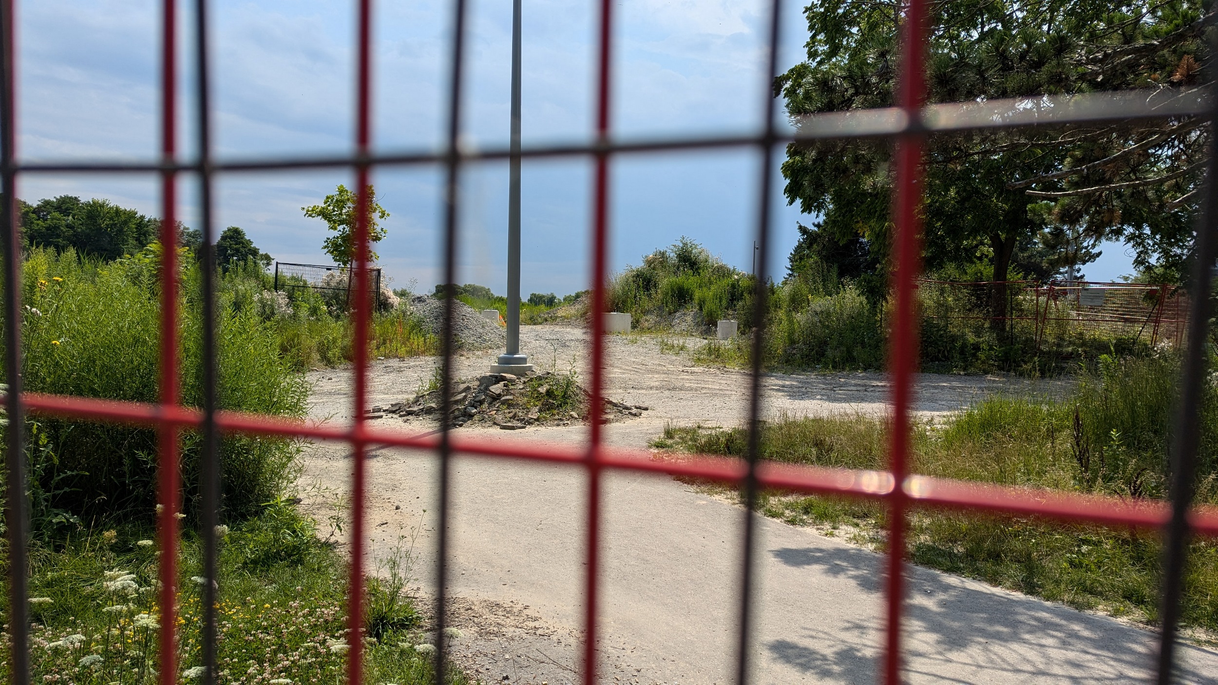
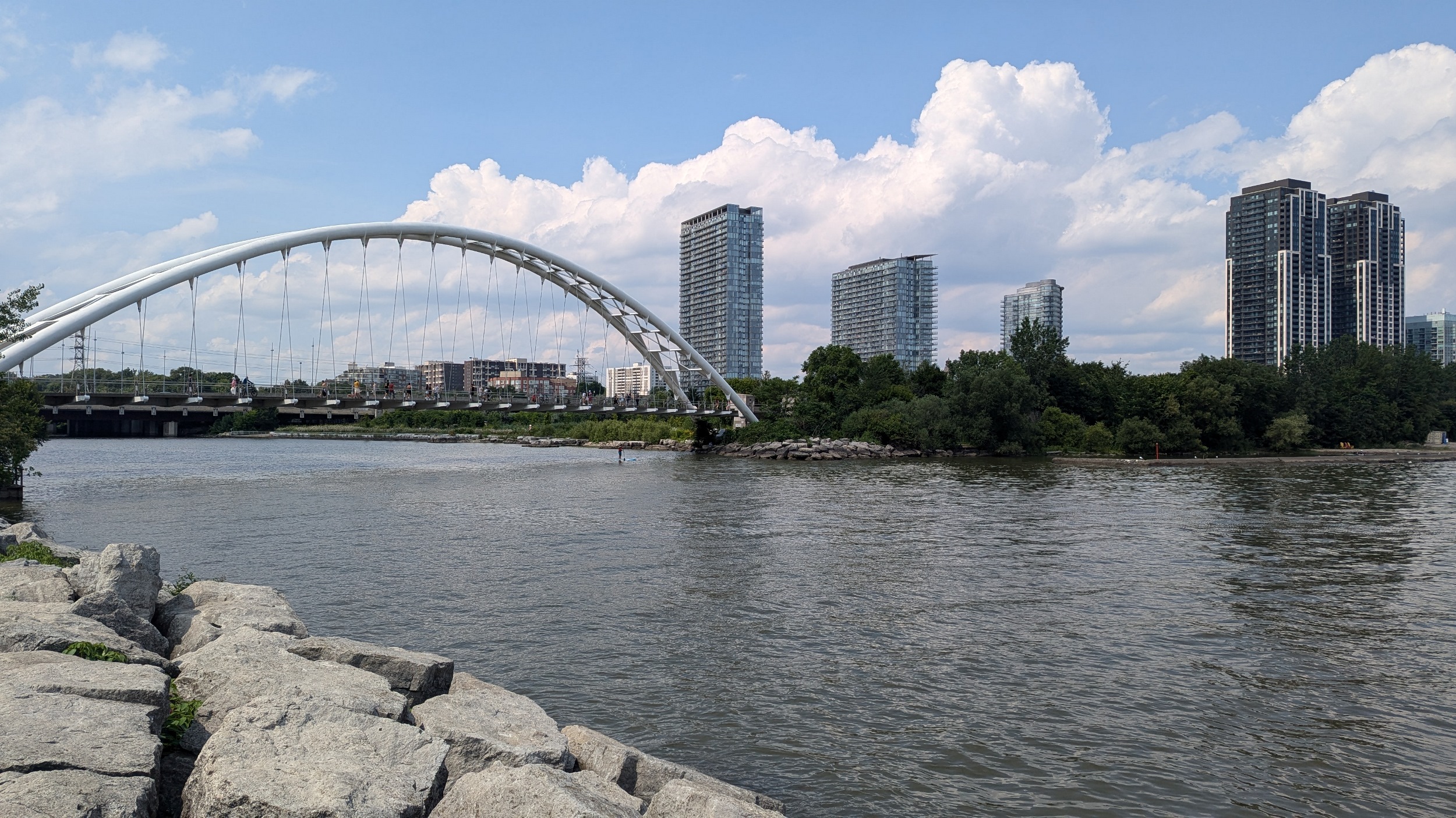
It’s hard to walk as much as I do and not run into snags. A chunk of the east peninsula is closed for restoration. The upper east edges are still open though. Around some marshes and along the shore, to Sheldon Lookout and the iconic waterfront bridge over the Humber River. That’s going to mark the end of today’s formal walk.
Date: July 21, 2024
Length: 20.0 km
Type: Shoreline